
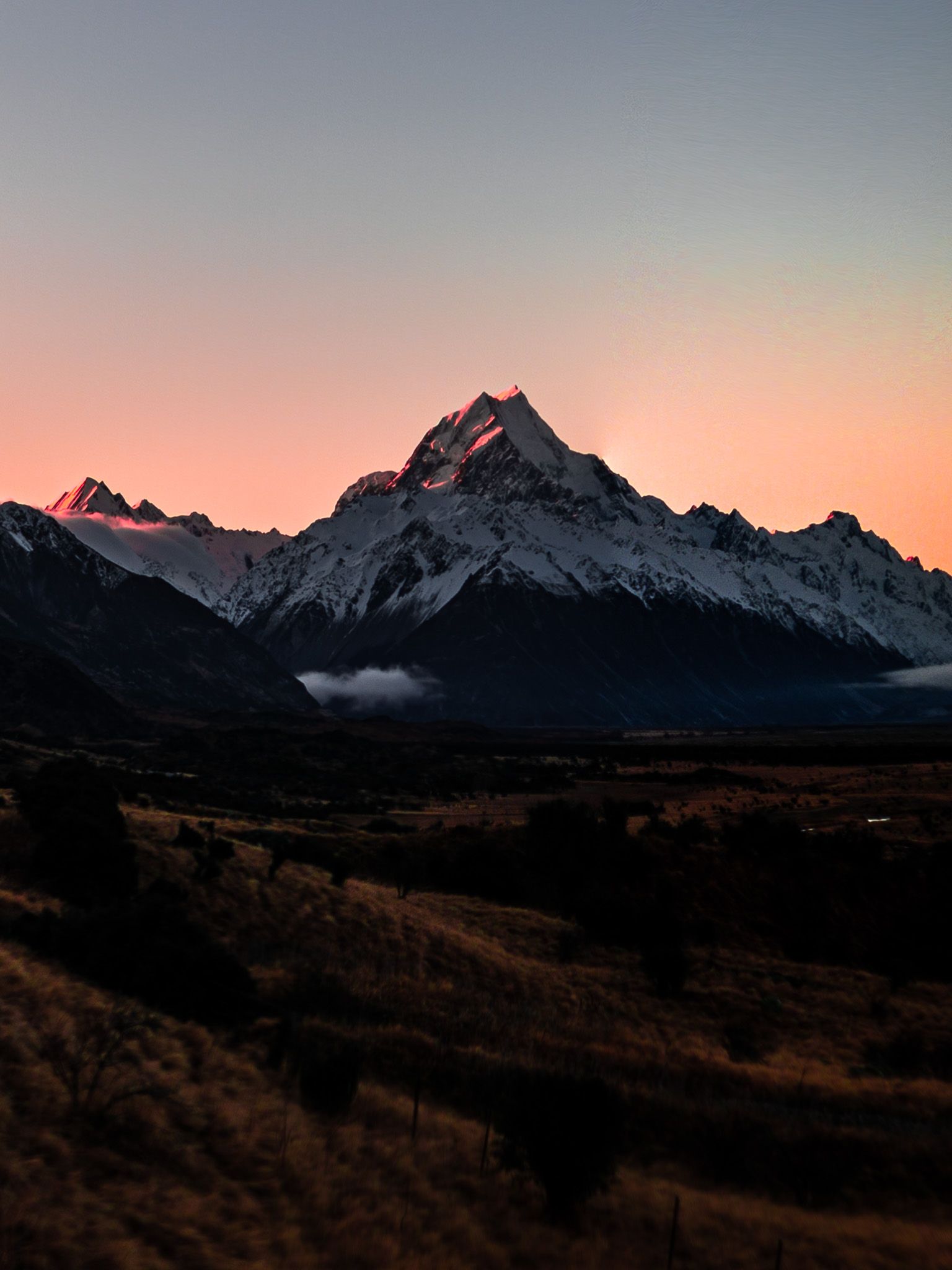
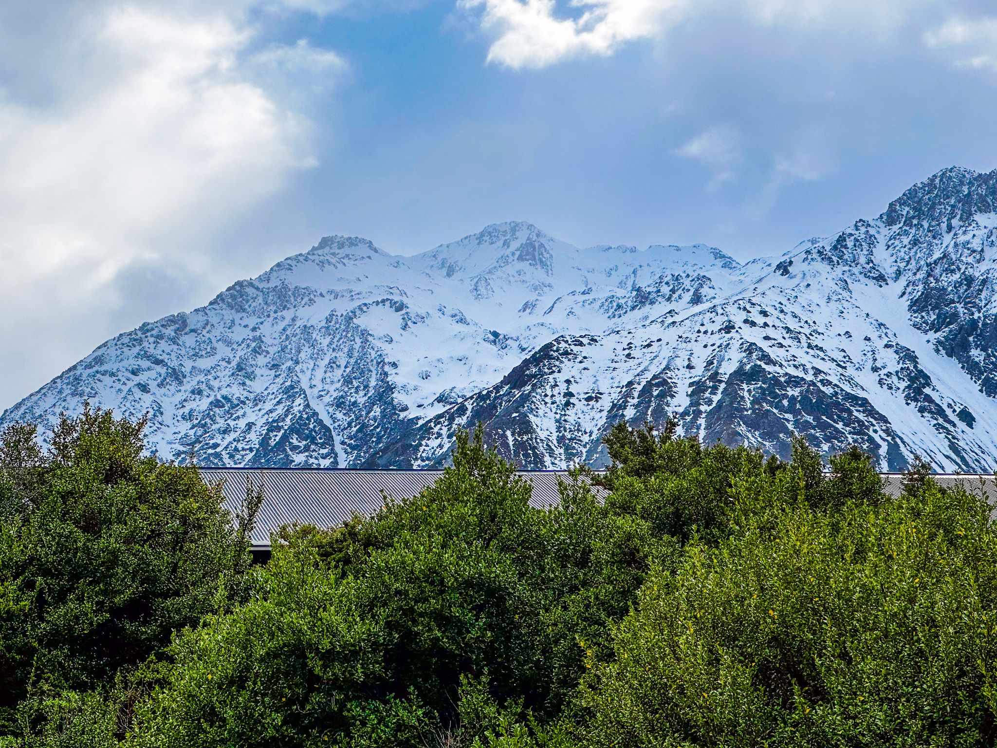
Standing at 3,724 metres, Aoraki Mount Cook commands the Southern Alps like no other peak in New Zealand. This is a landscape of extremes—where glaciers carve valleys, alpine tarns reflect snow-capped summits, and walking tracks range from gentle forest loops to lung-burning climbs above the clouds.
Whether you have a weekend or just a day, Aoraki Mount Cook National Park has an itinerary for every ambition. From the iconic Hooker Valley to the lesser-known forest sanctuaries, here's how to experience the alpine heart of the South Island.
Aoraki Mount Cook, New Zealand's Alpine Heart
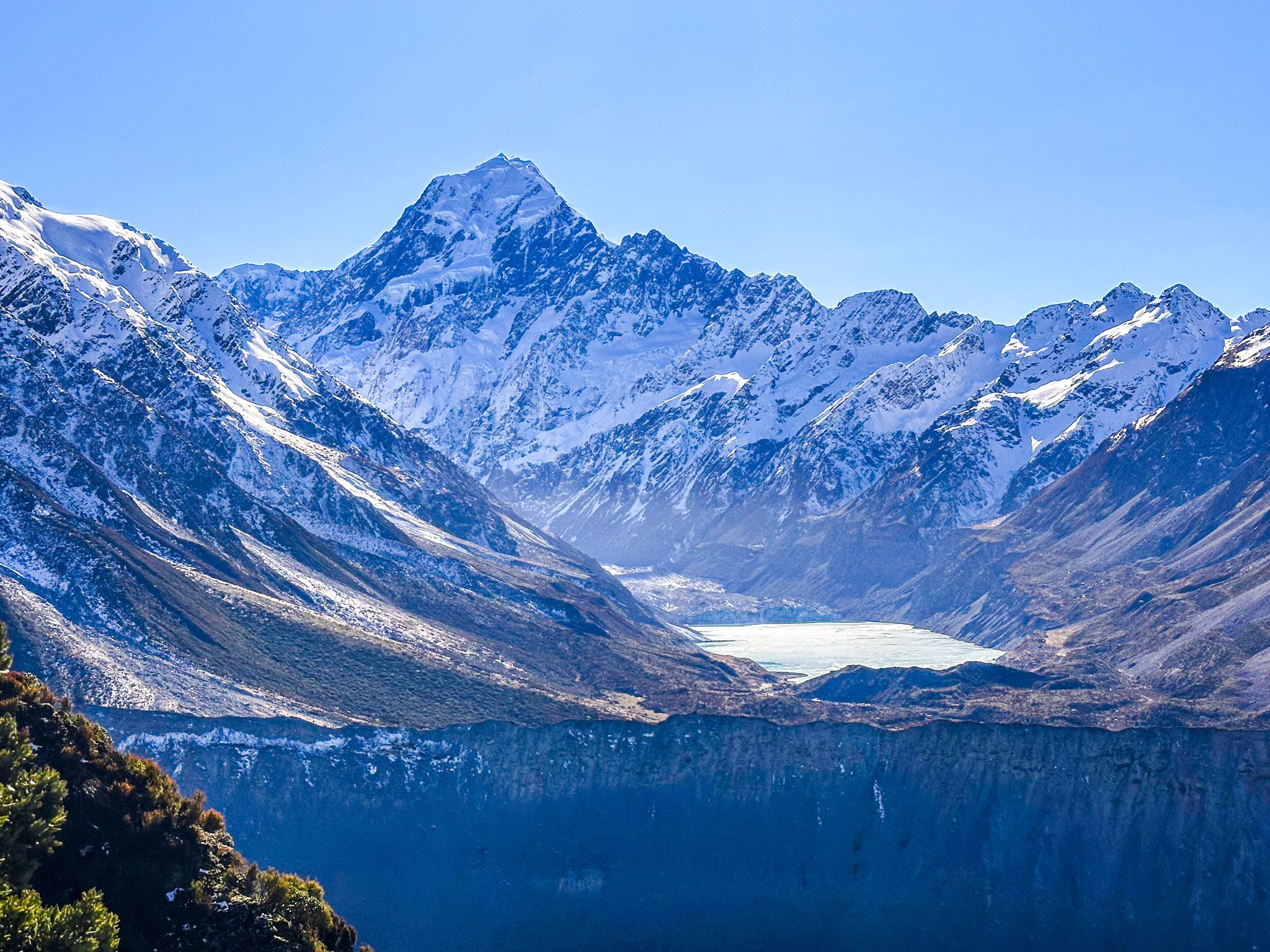
Aoraki Mount Cook rises 3,724 metres above sea level, making it New Zealand's highest peak and the crown jewel of the Southern Alps. Located in the heart of the South Island, this magnificent mountain dominates a landscape of glacial valleys, turquoise lakes, and alpine wilderness that has captivated people for centuries.
To Ngāi Tahu iwi, Aoraki is a sacred mountain steeped in legend. According to tradition, Aoraki was the son of Rakinui, the Sky Father. When his waka capsized on a voyage, Aoraki and his brothers climbed onto the hull, where they were turned to stone by the freezing south wind. Aoraki became the highest peak, while his brothers formed the surrounding mountains of the Southern Alps.
European mountaineering history here is equally storied. The first successful ascent came on Christmas Day 1894, when New Zealanders Tom Fyfe, Jack Clarke, and George Graham reached the summit via the Hooker Valley route. In 1910, Australian climber Freda Du Faur became the first woman to summit Aoraki, breaking barriers in what was then an exclusively male domain.
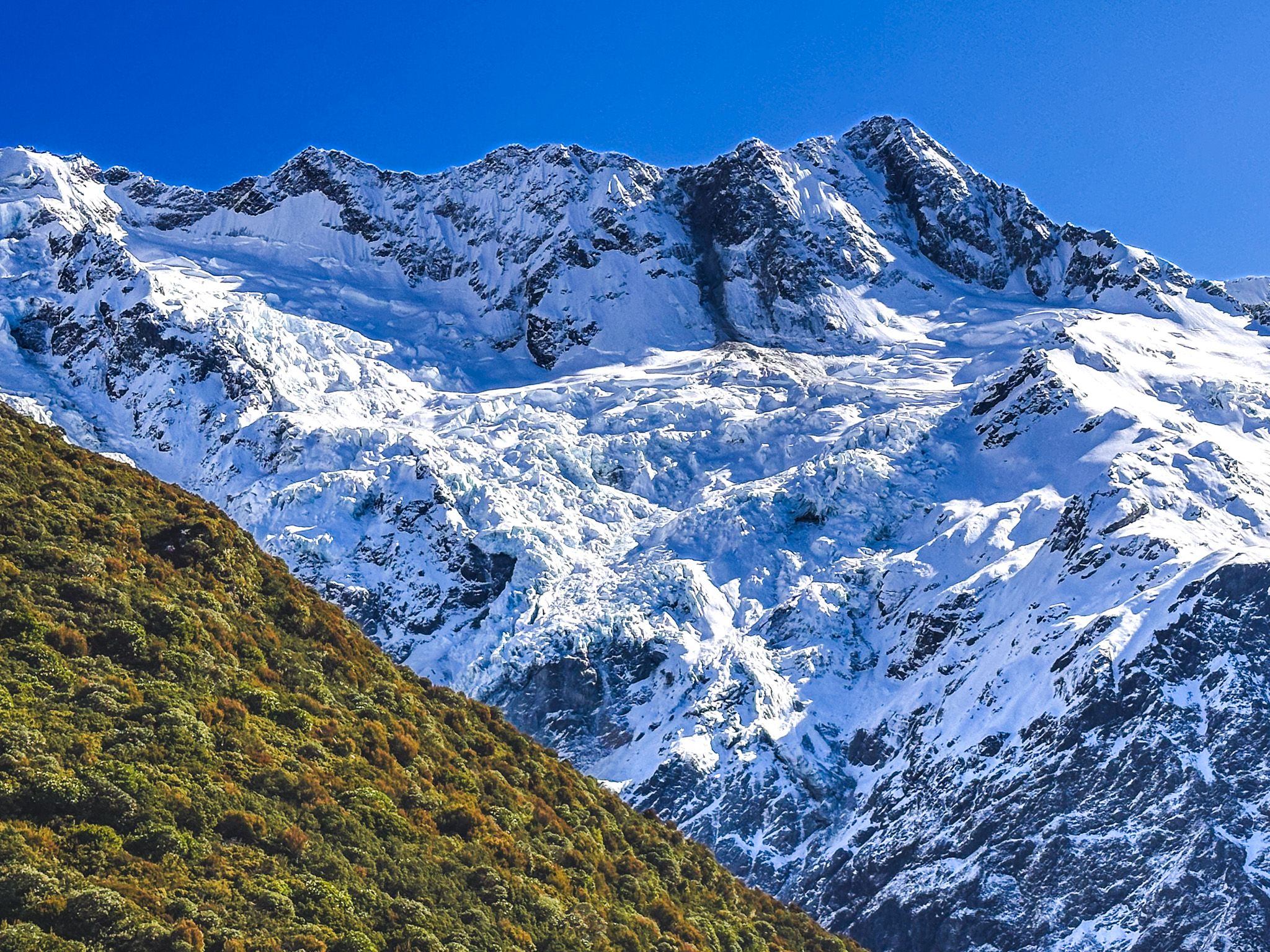
Established in 1953, Aoraki Mount Cook National Park protects 140 peaks over 2,000 metres and 72 named glaciers, including the mighty Tasman Glacier—New Zealand's longest at 27 kilometres. The park is a UNESCO World Heritage Site as part of Te Wāhipounamu, recognising its outstanding natural values and dramatic glacial landscapes.
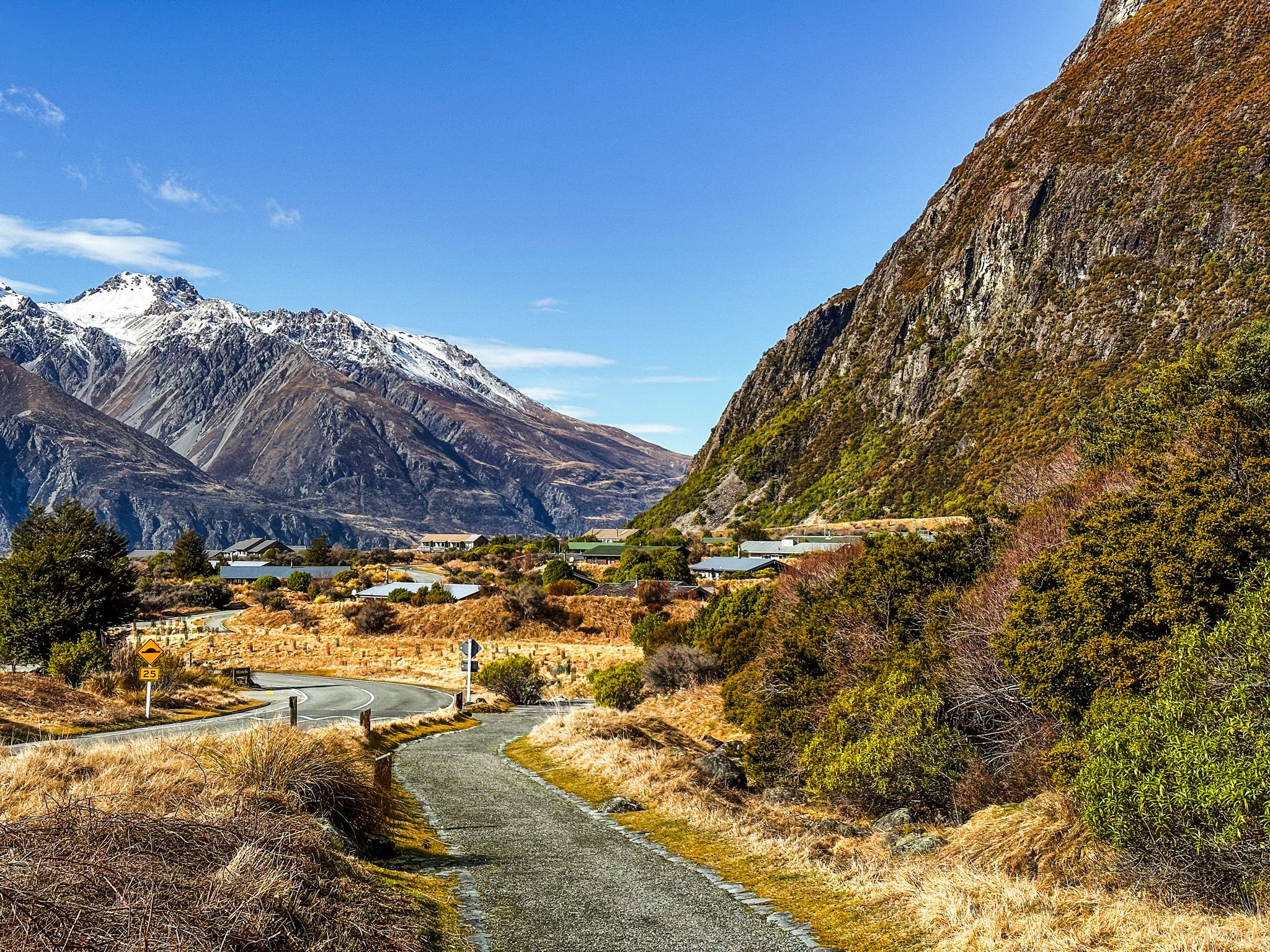
Access to this alpine wonderland is via State Highway 80, better known as Mount Cook Road, which branches off SH8 at the southern end of Lake Pukaki. The 45-minute drive delivers you to Aoraki Mount Cook Village, the gateway to some of New Zealand's most spectacular walking tracks.
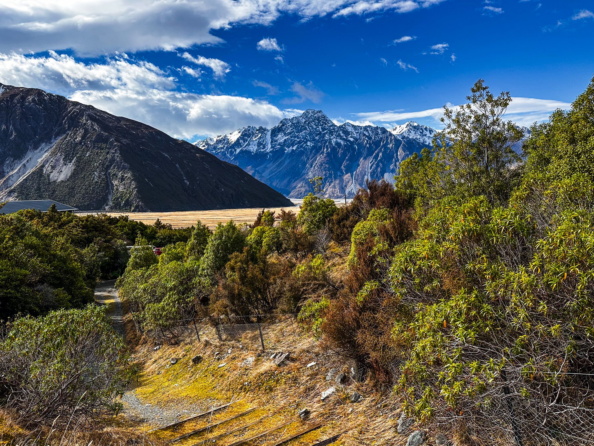
Mount Cook Road – Gateway to the Giants
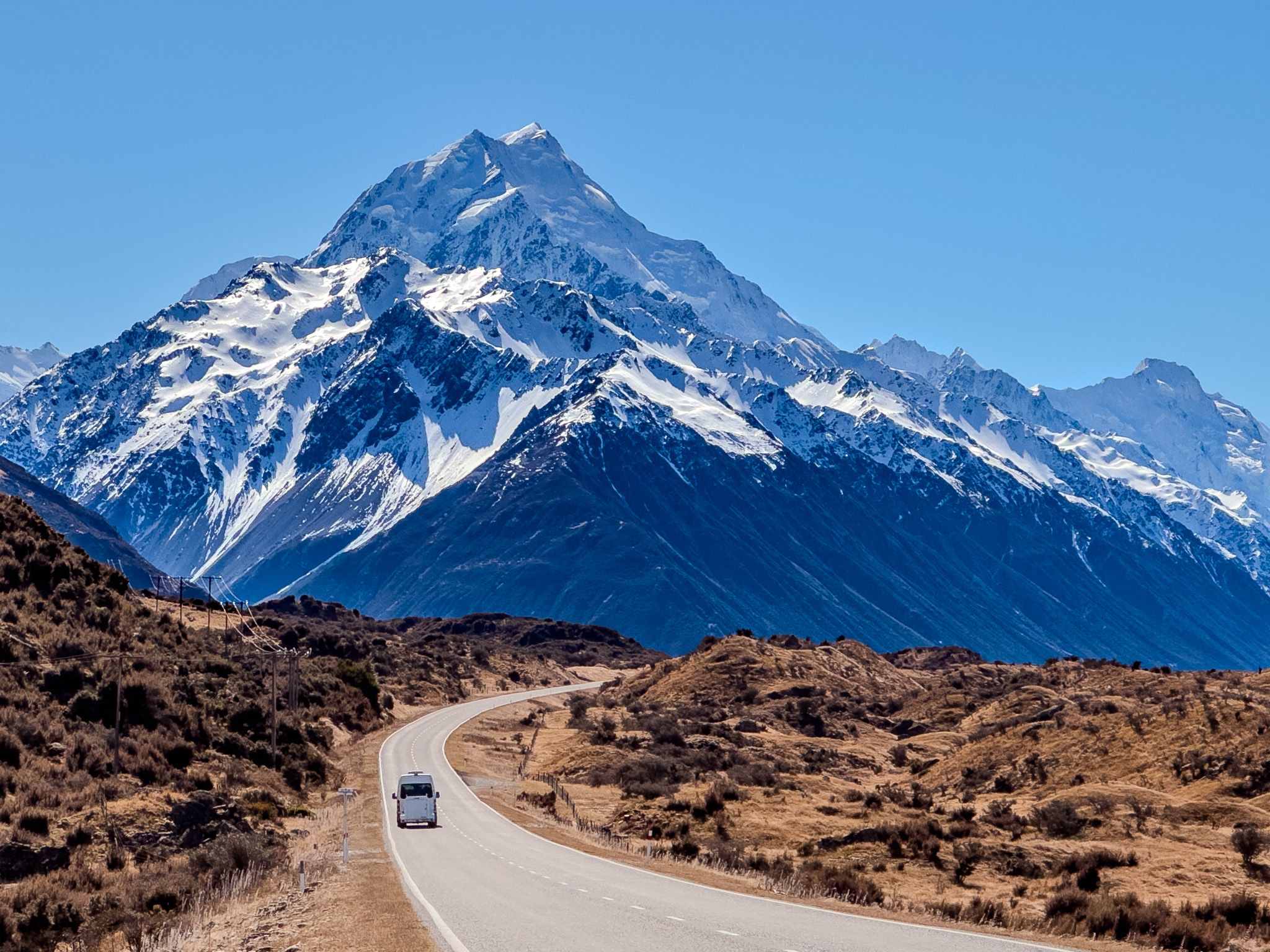
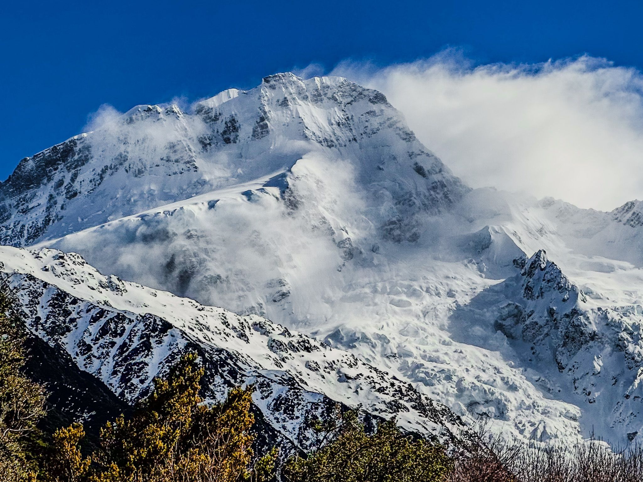
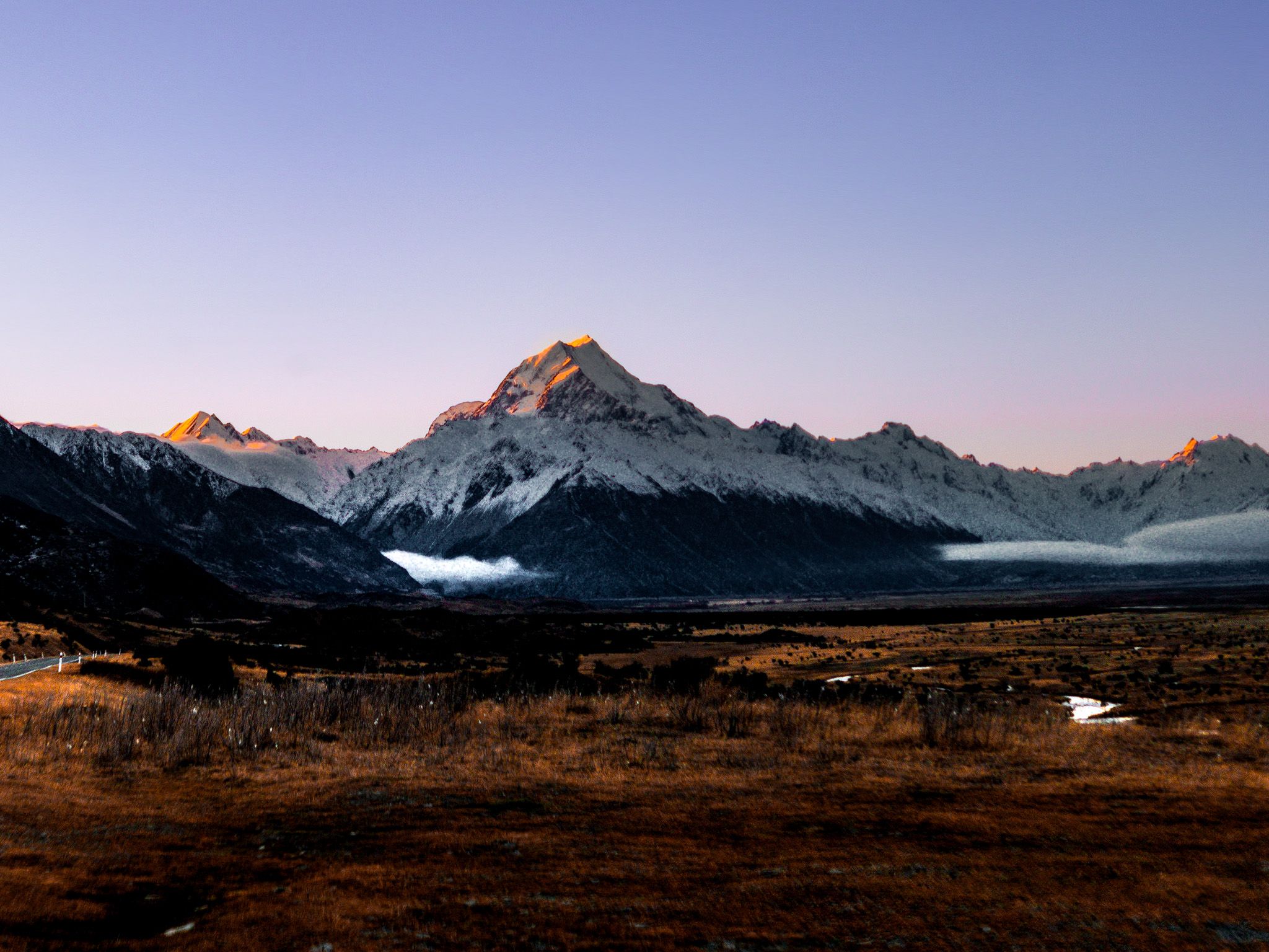
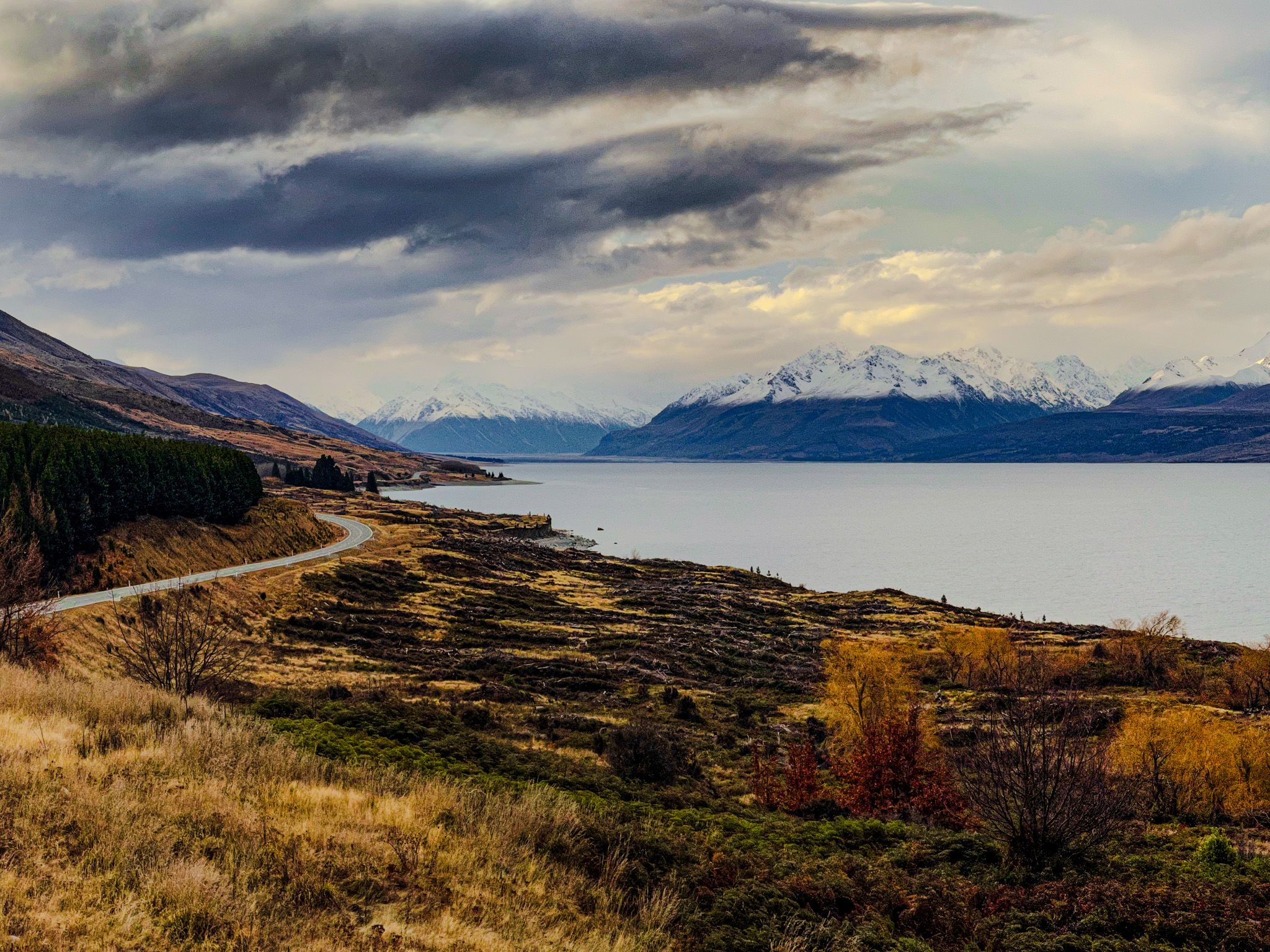
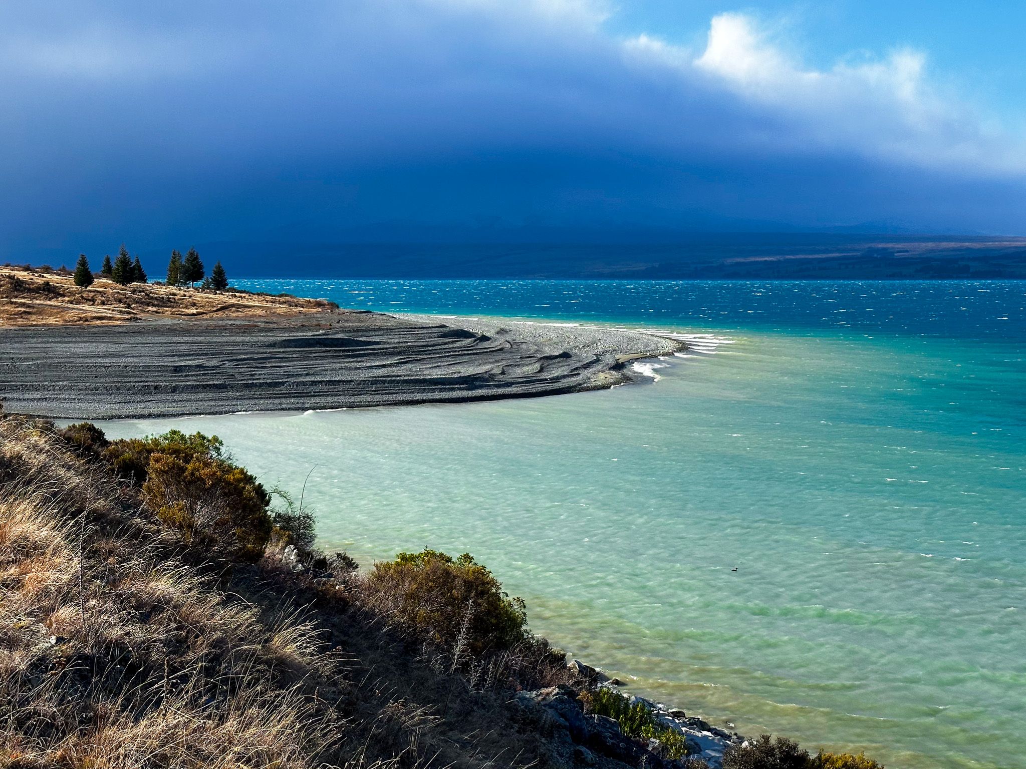
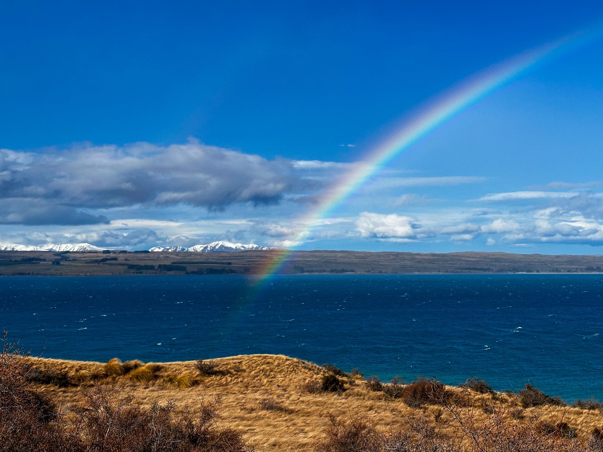
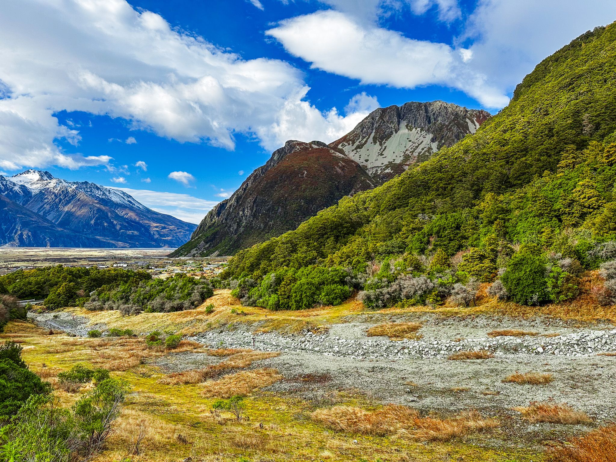
The journey to Aoraki Mount Cook begins the moment you turn onto State Highway 80 from the shores of Lake Pukaki. This 45-minute drive along Mount Cook Road is far more than a means to an end—it's a scenic experience in its own right, with Aoraki's snow-capped summit growing larger with every kilometre.
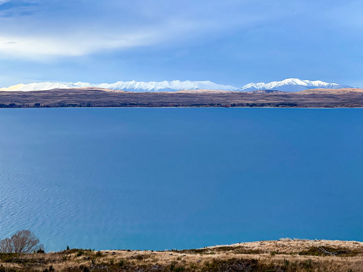
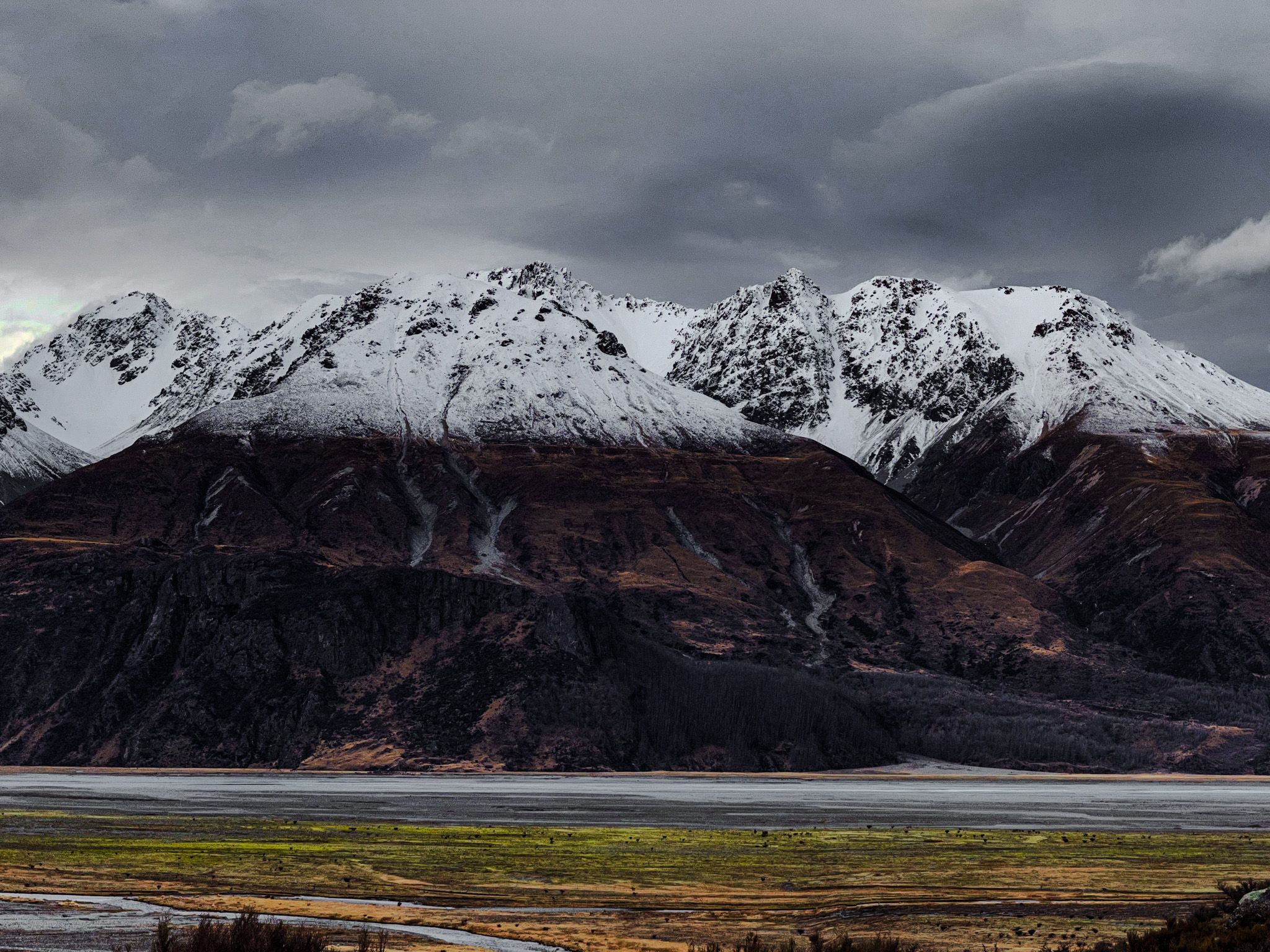
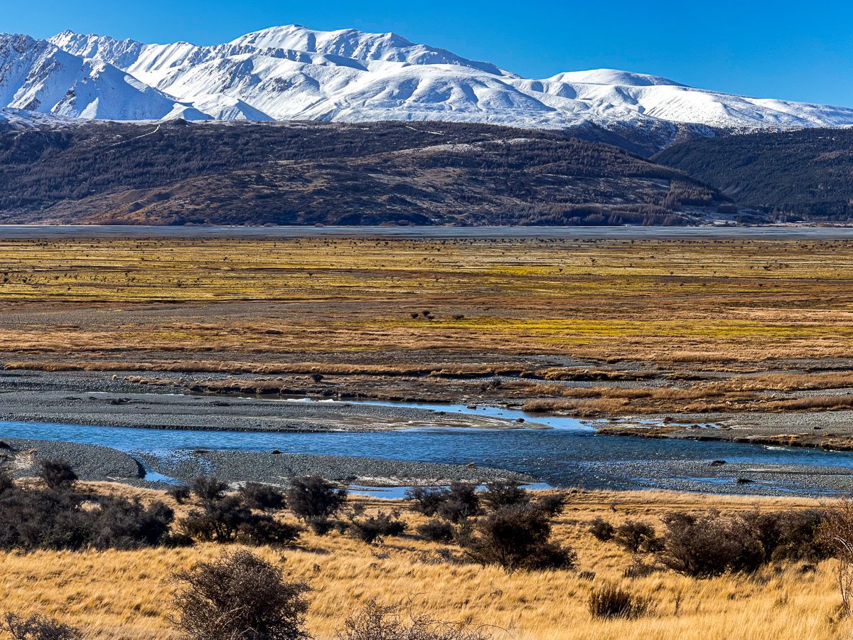
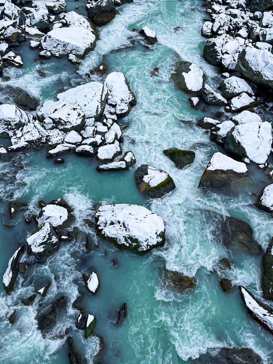
The road hugs the western shore of Lake Pukaki, where the turquoise glacial waters provide a stunning foreground to the Burnett Mountains and the Southern Alps beyond. On clear days, the pyramid of Aoraki appears to float above the landscape, its white flanks catching the light in ways that change throughout the day. Pull over at any of the designated viewpoints; each offers a slightly different perspective and a chance to capture that perfect photograph.
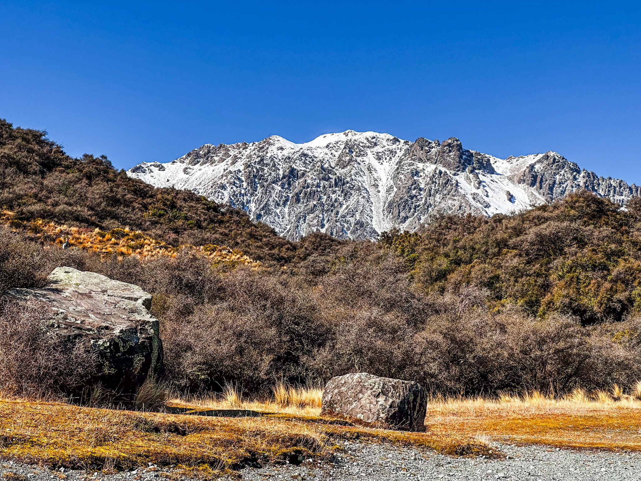
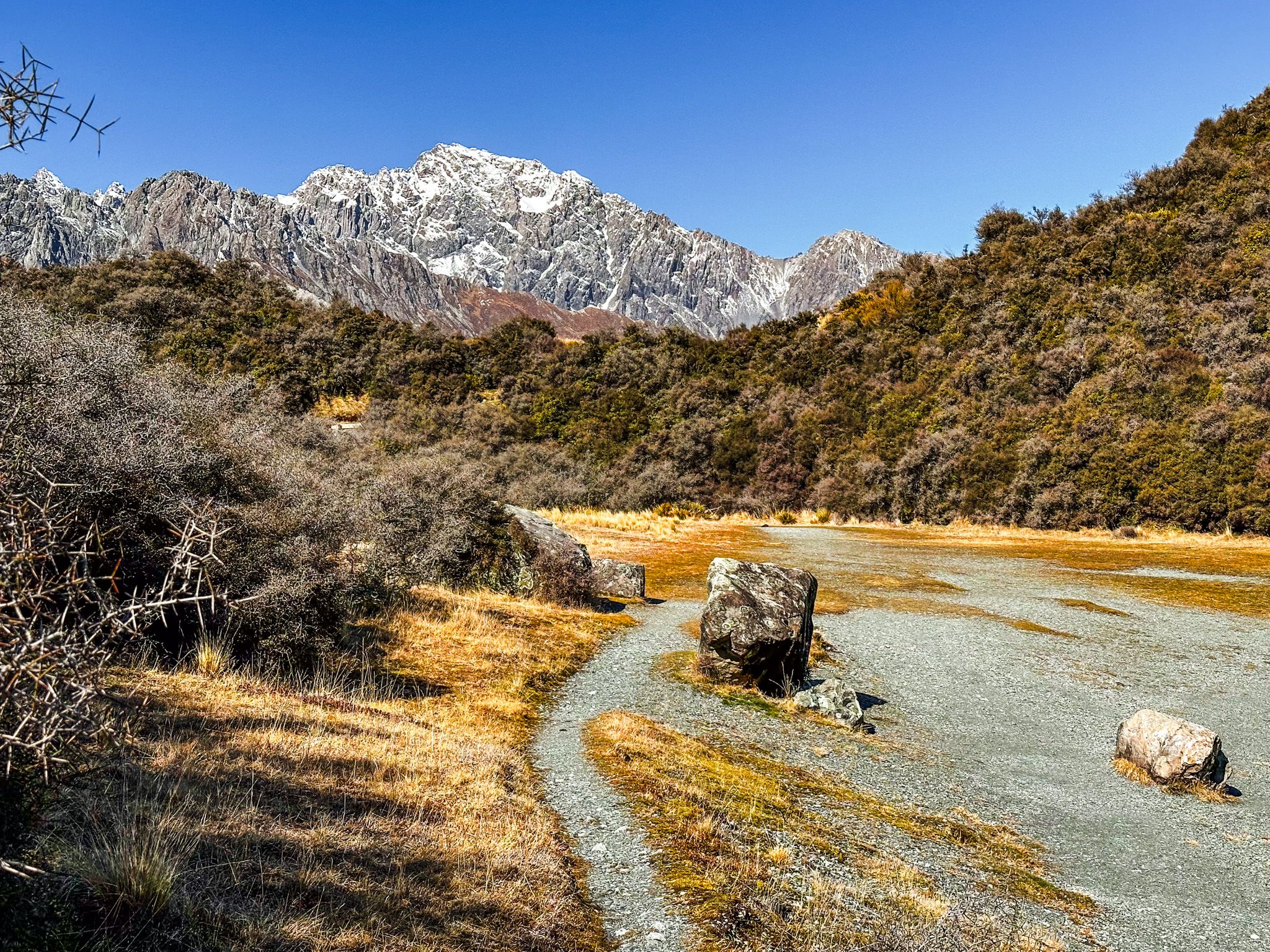
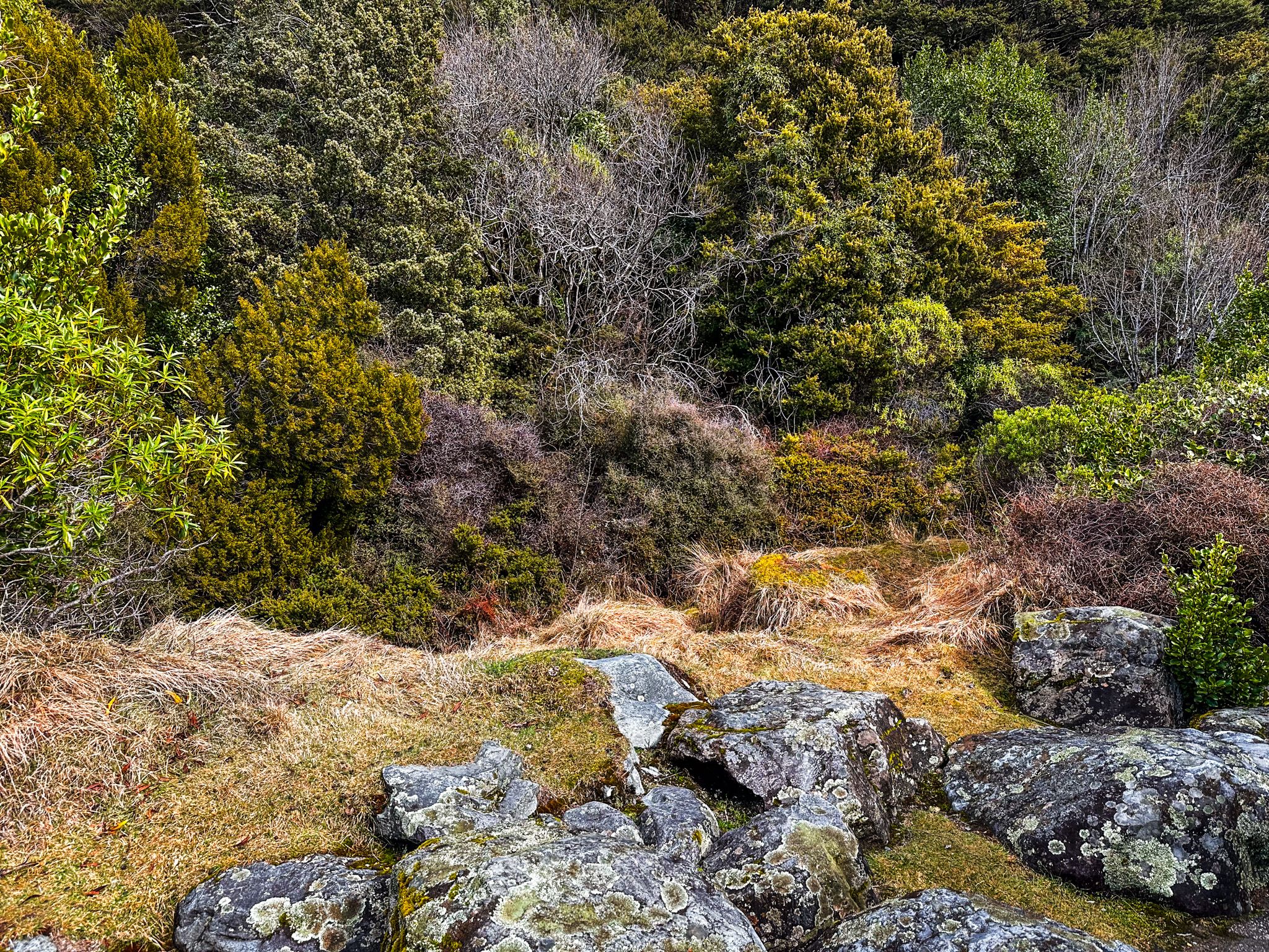
About halfway along the route, watch for the signposted stop for Pukaki Boulders. This quick detour rewards you with a moderately steep 200-metre walk to two massive boulders deposited by the Tasman Glacier over 10,000 years ago during the last ice age. The larger of the two has become a popular spot for bouldering enthusiasts, its smooth granite face offering challenging routes.
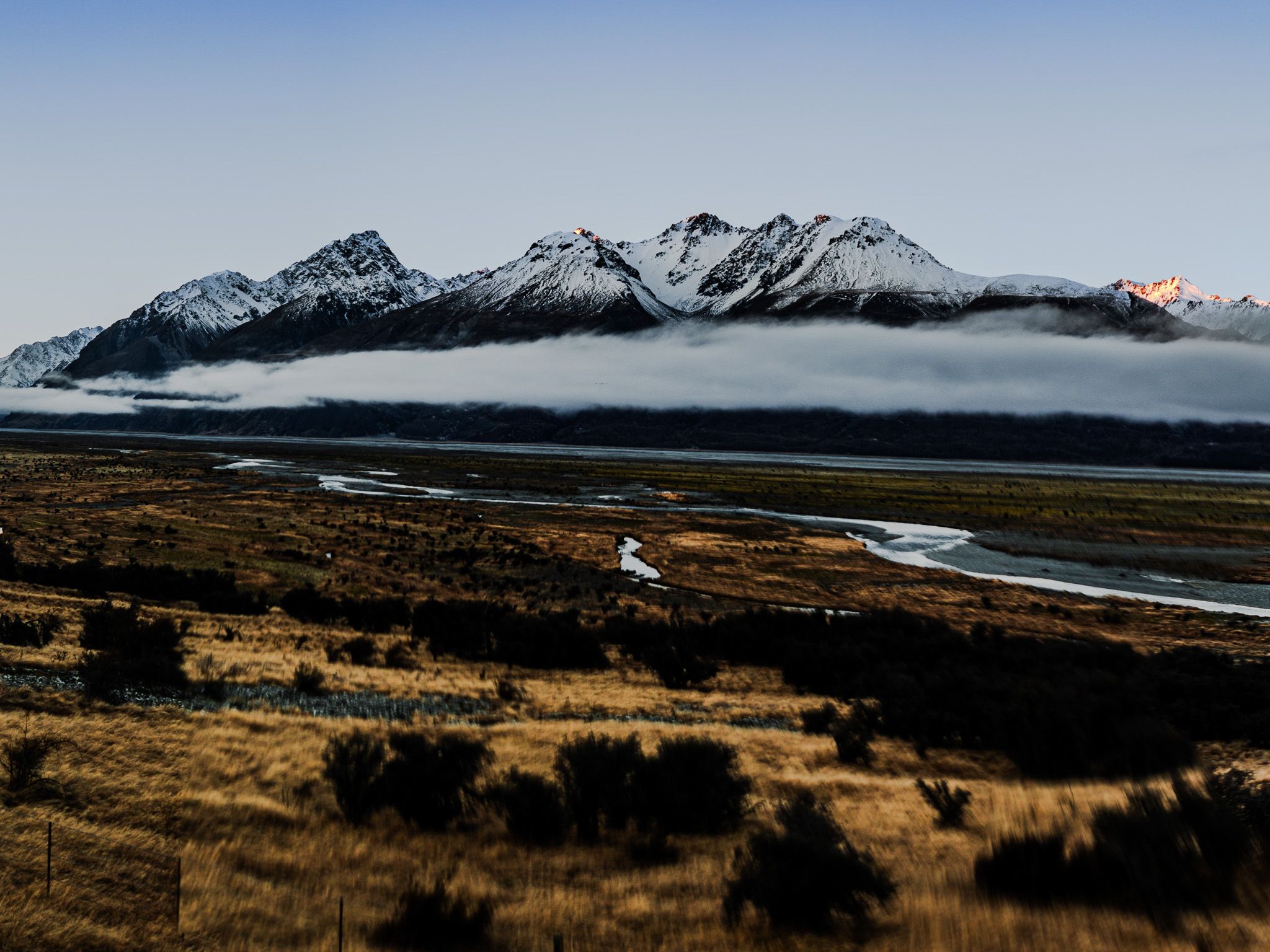
From the boulders, views stretch across golden tussock grasslands to the Ben Ohau Range, with Aoraki presiding over the scene to the north. It's a landscape that speaks to the raw geological forces that shaped this region—ice, rock, and time measured in millennia. The stop takes only 15 minutes but offers a tangible connection to the glacial history you'll encounter throughout your visit.
Hooker Valley Track (Currently Restricted)
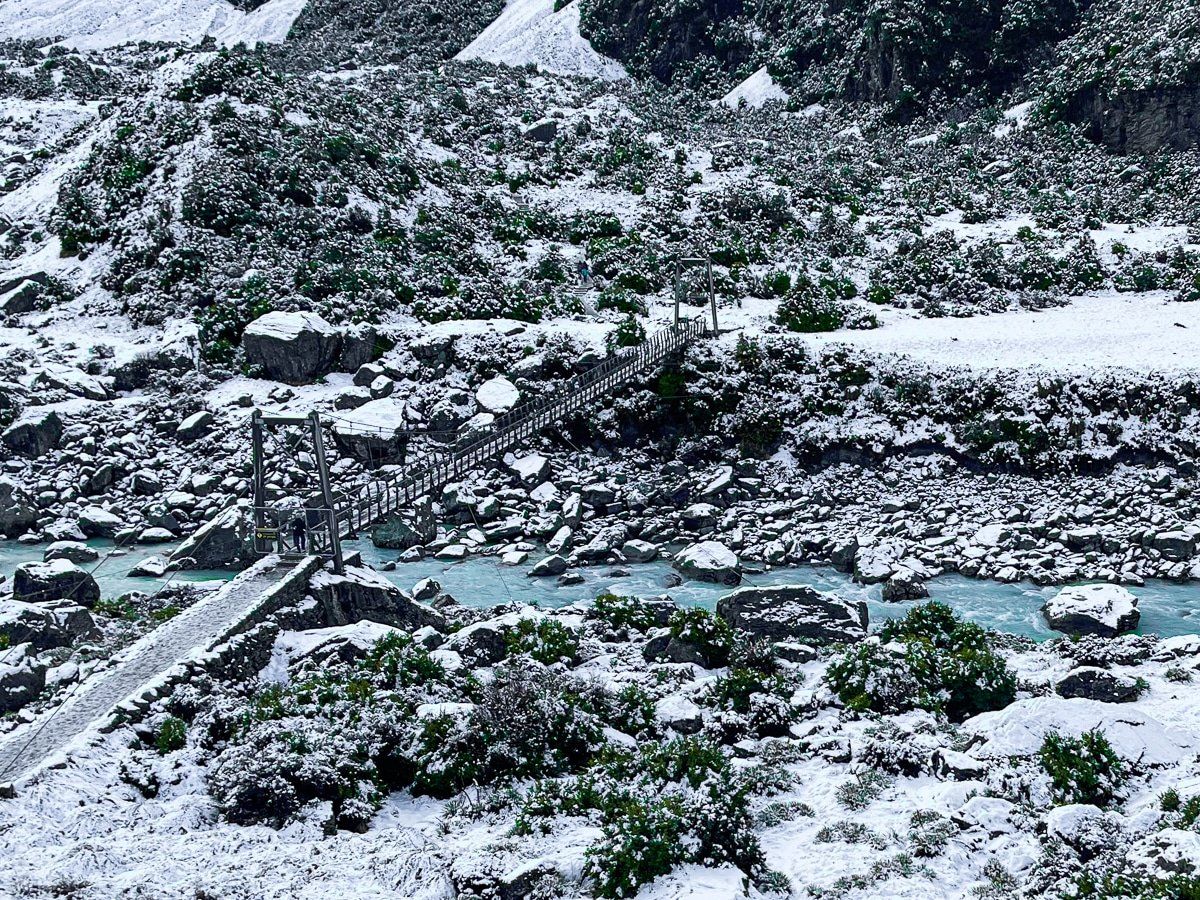
Important note: The Hooker Valley Track is currently closed beyond the first swing bridge while the second bridge undergoes reconstruction. The track is expected to fully reopen in Autumn 2026. Check with the DOC Visitor Centre for the latest updates.
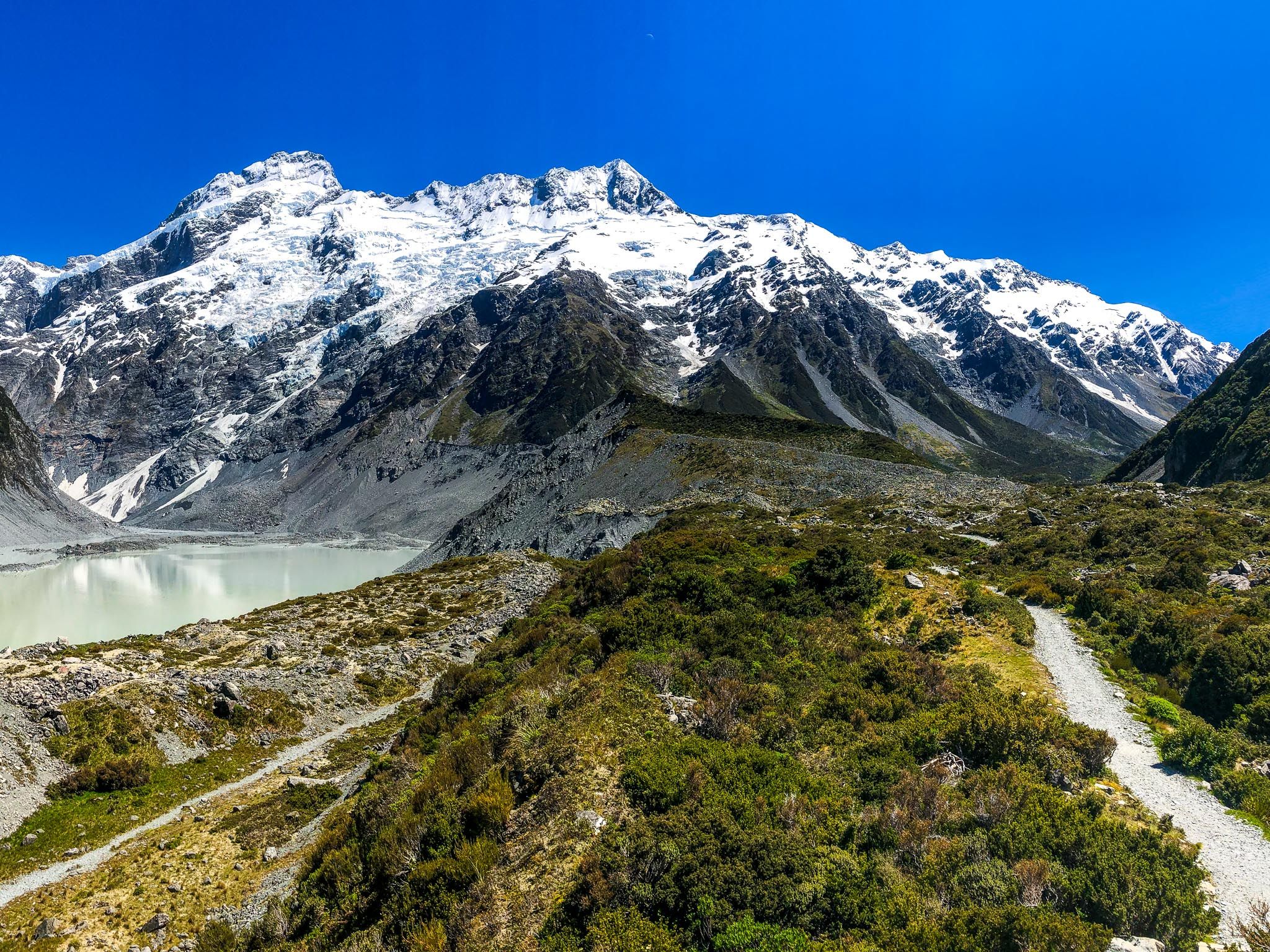
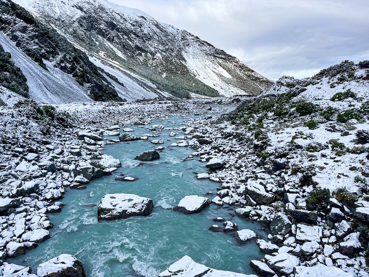
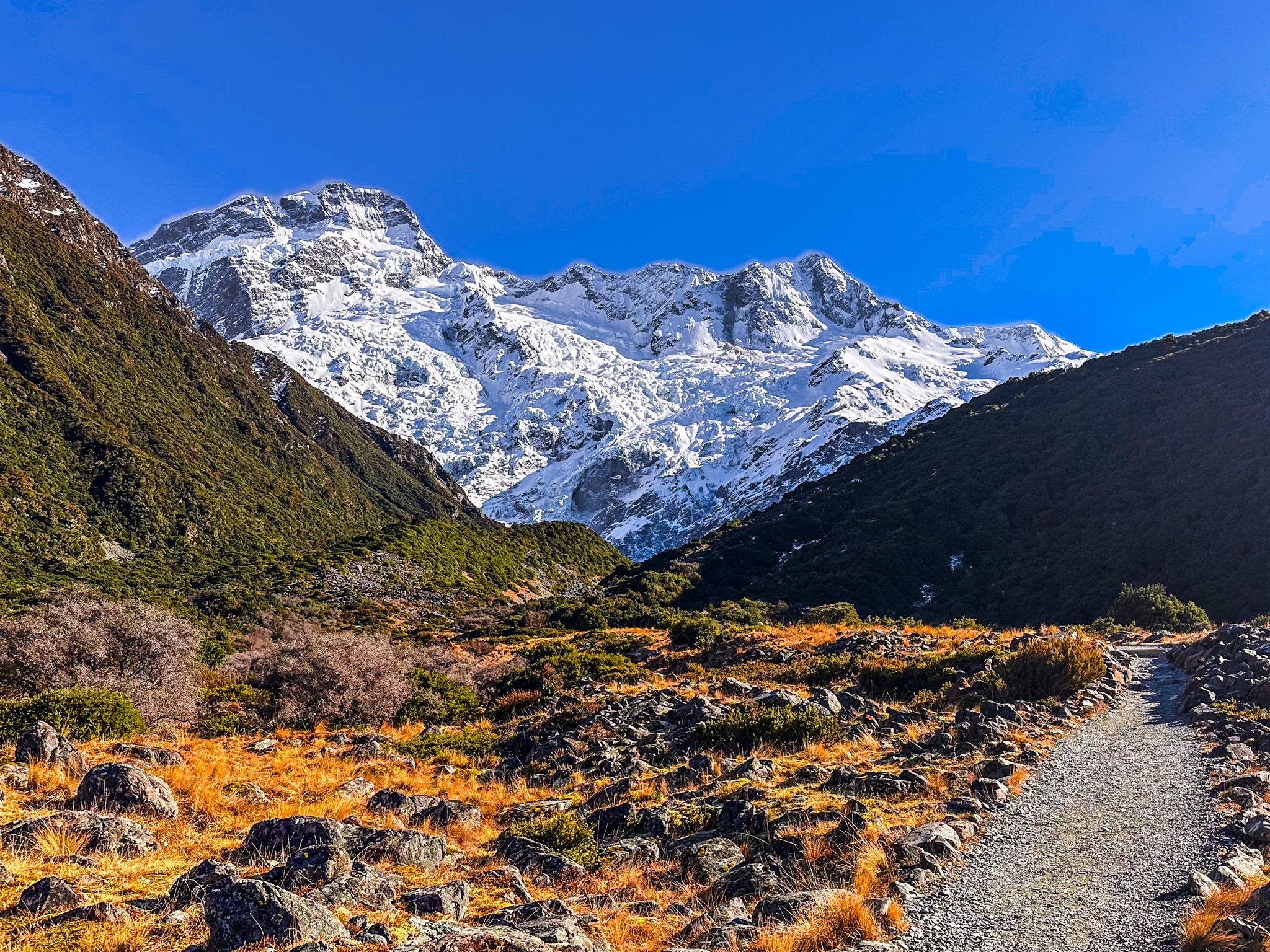
When fully open, the Hooker Valley Track is the most popular walk in the park. This 3-hour return journey to Hooker Lake is easy enough for most people, with gentle elevation changes between 800 and 900 metres. The track crosses the Hooker River via two swing bridges and follows boardwalks through mountain tussocks and alpine meadows.
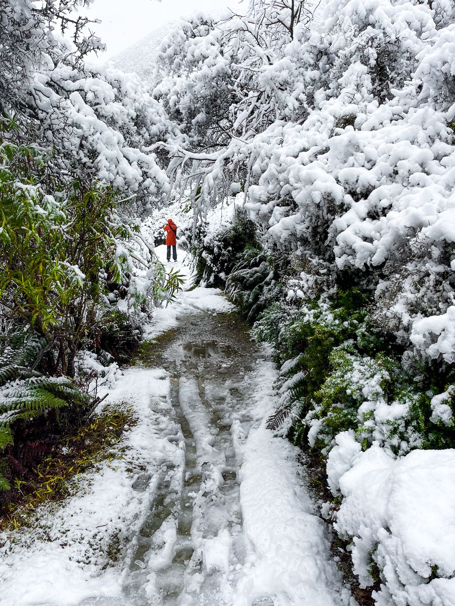
The valley floor, including the campground and the track up the Hooker Valley, is normally free of snow. Any snow that does fall tends to melt quickly, which means you can access the track almost year-round—though it can be cold in winter, so bring warm layers.
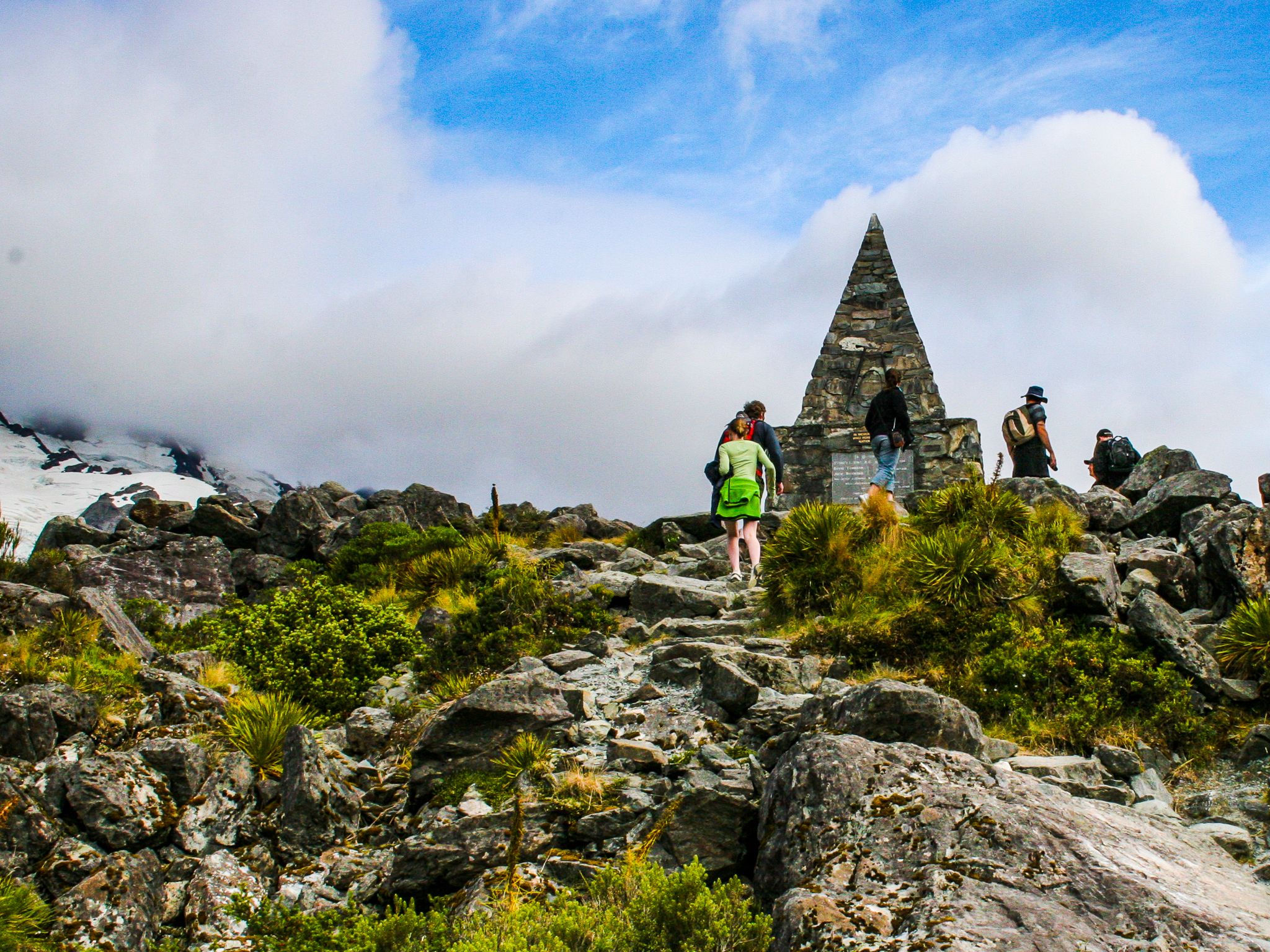
At the start, you'll pass a pyramid monument that stands as a memorial to approximately 80 of the climbers who have lost their lives on Aoraki's slopes. Nearby, Freda's Rock commemorates Freda Du Faur, the pioneering Australian climber who became the first woman to summit the peak in 1910.
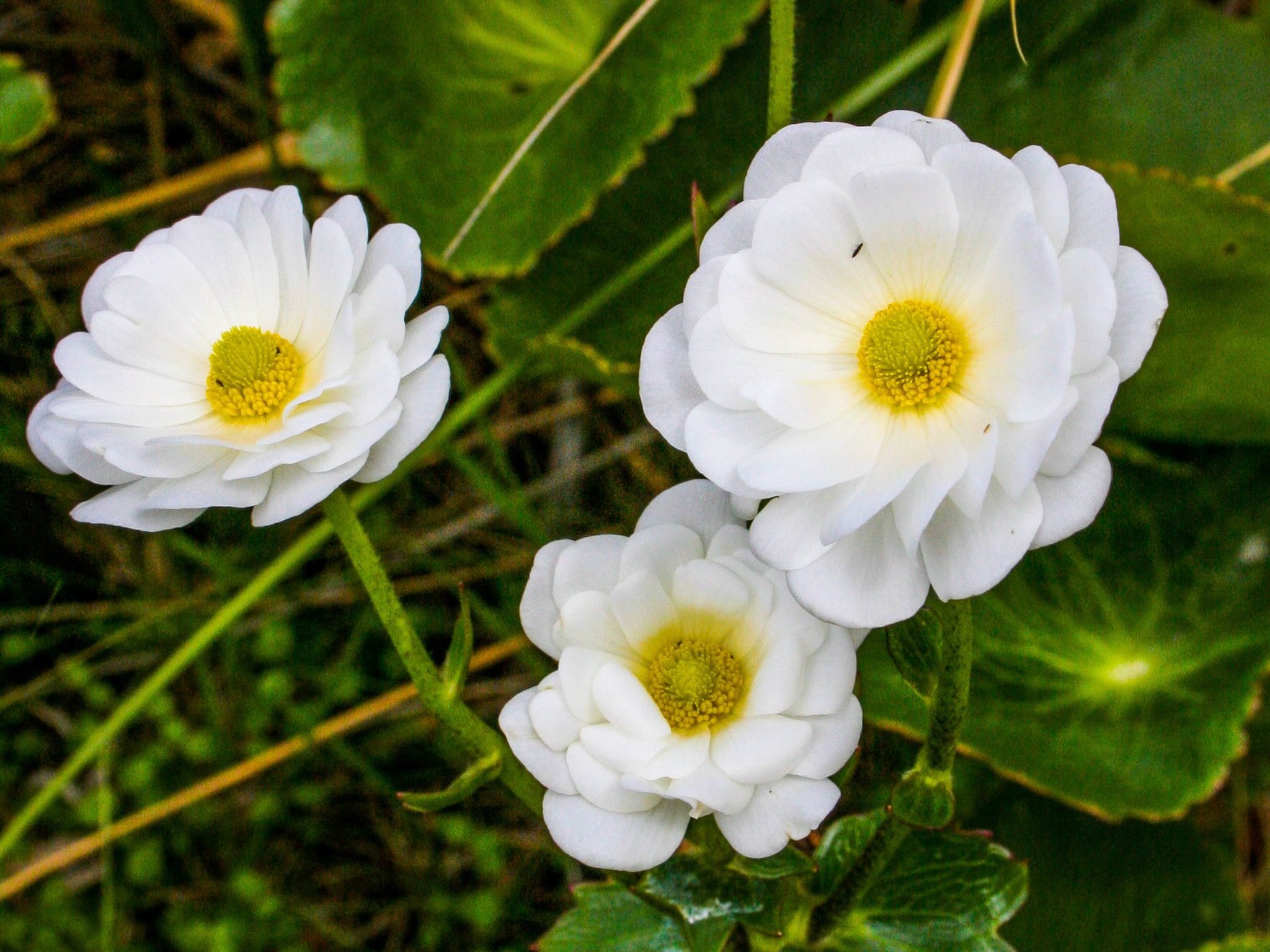
If you visit between December and January, keep your eyes peeled for the giant Mount Cook buttercup, the world's largest buttercup species, which can grow up to one metre high. These spectacular white flowers are found nowhere else on Earth and are among the national park’s botanical treasures.
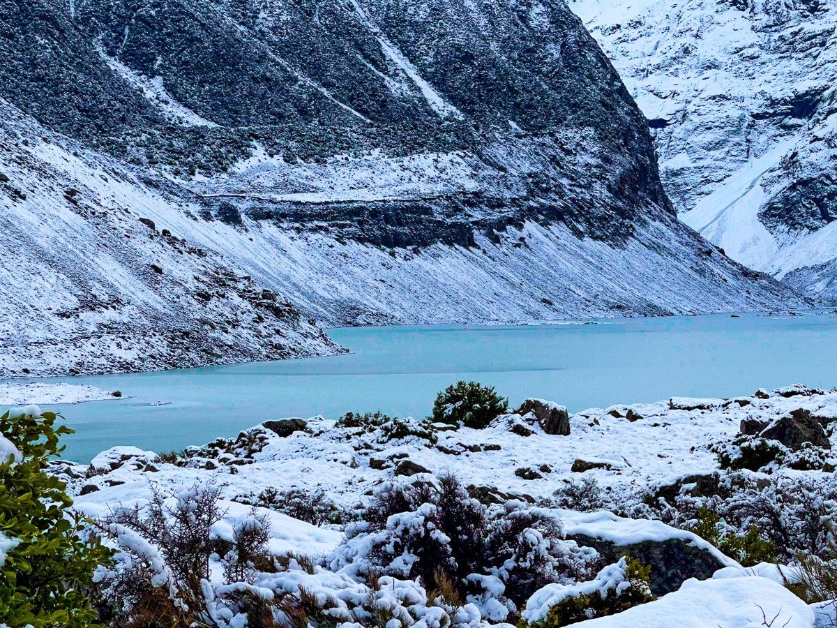
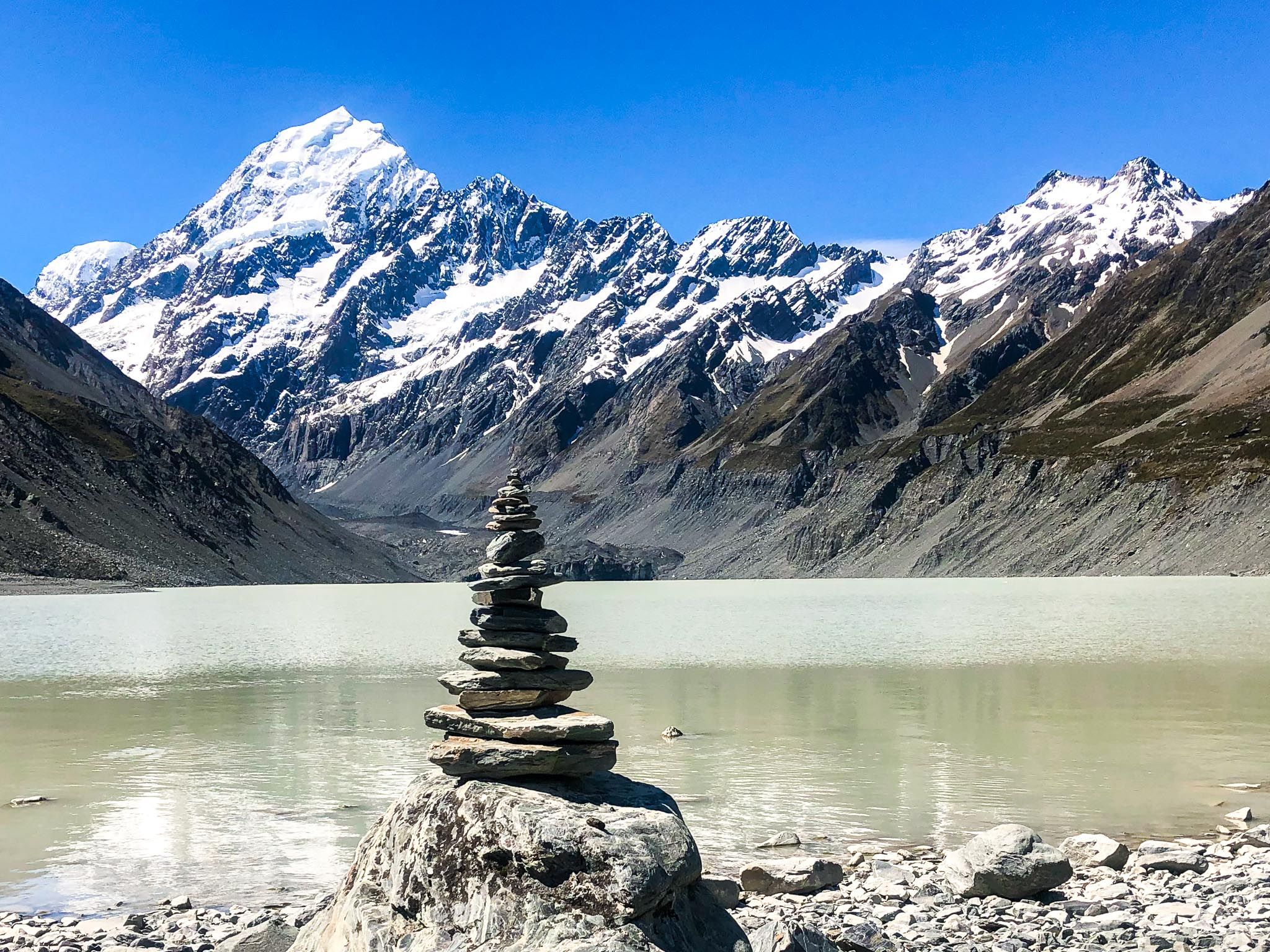
The track ends at Hooker Lake, where icebergs calved from the Hooker Glacier float in milky turquoise water. On calm days, Aoraki's reflection shimmers on the lake's surface.
Tasman Lake and Blue Lakes – Glacial Wonders
While Hooker Valley receives most of the attention, the Tasman Lake area is equally spectacular with a fraction of the crowds. You can combine these two walks into a single outing that showcases the dramatic environmental changes occurring in this alpine landscape.
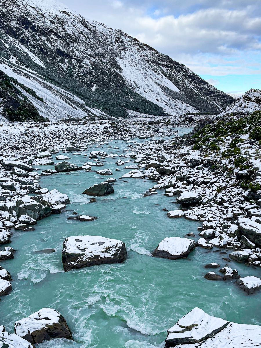
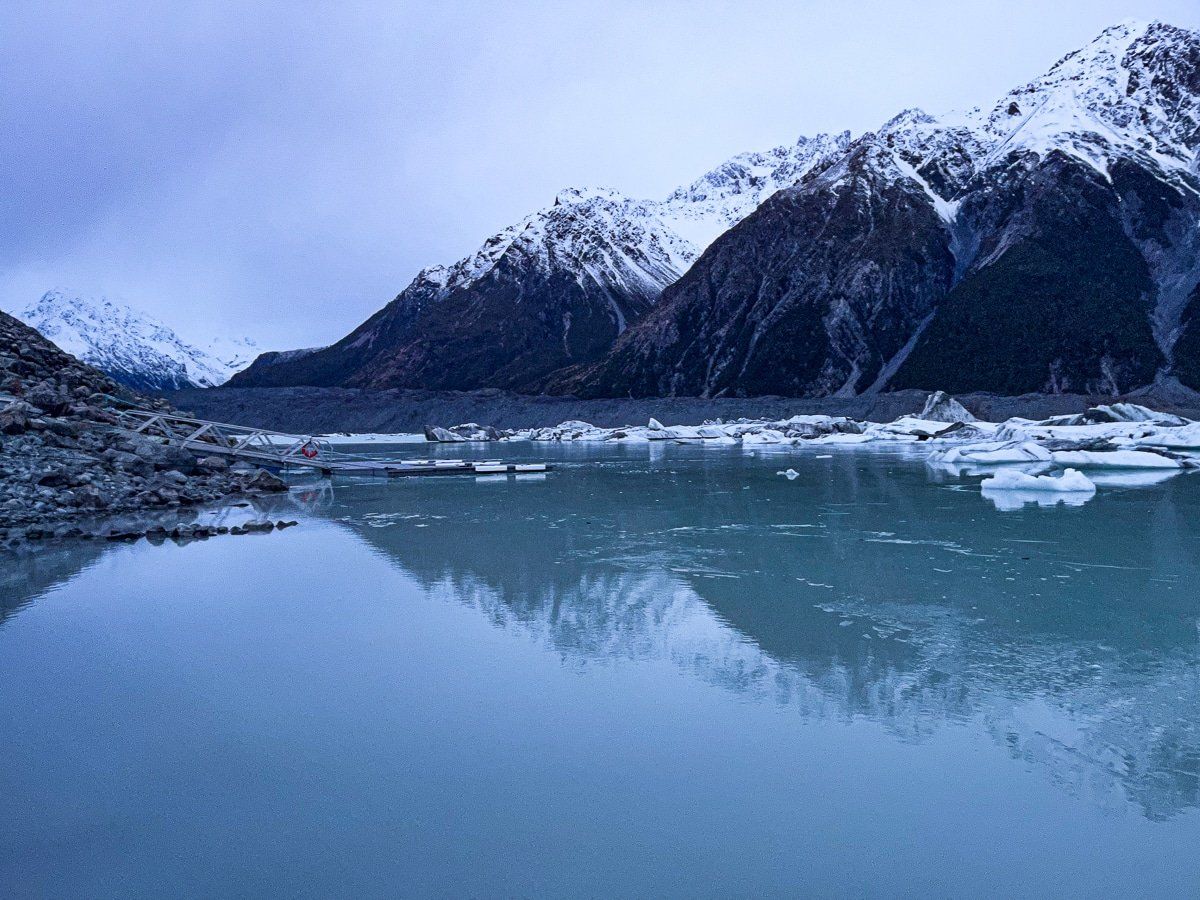
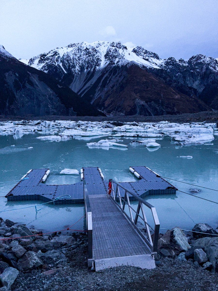
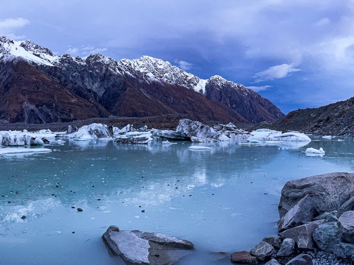
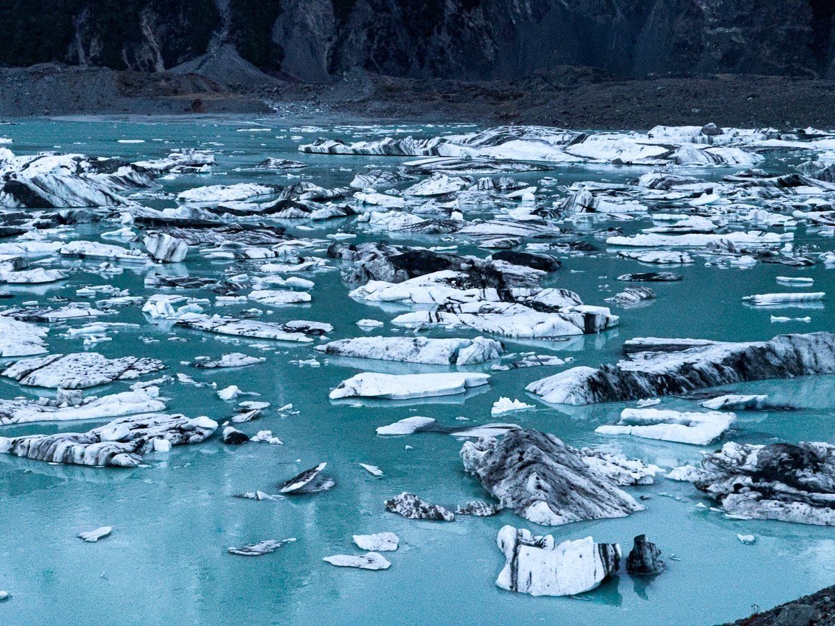
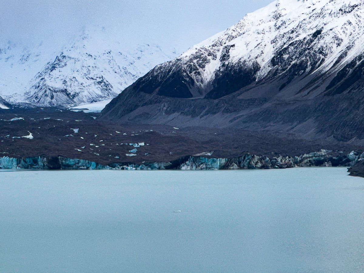
The walk to Tasman Lake viewpoint takes just 15 minutes, climbing up a moraine ridge to reveal a stunning panorama. Below, the turquoise waters of Tasman Lake stretch toward the terminal face of the Tasman Glacier, New Zealand's longest. Icebergs, some the size of houses, drift across the lake's surface, having calved from the glacier terminus. The scale is humbling: the Tasman Glacier stretches 27 kilometres back into the mountains, though it has retreated significantly in recent decades.
The viewpoint is spectacular at any time of day, but twilight brings something special. As the sun drops behind the mountains, the light softens, and the icebergs seem to glow against the darkening water. It's a photographer's dream and a moment of quiet contemplation in a landscape shaped by ice and time.
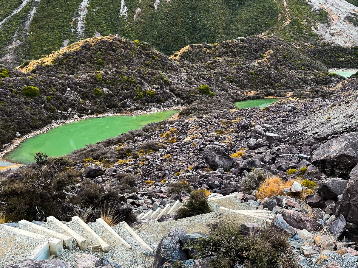
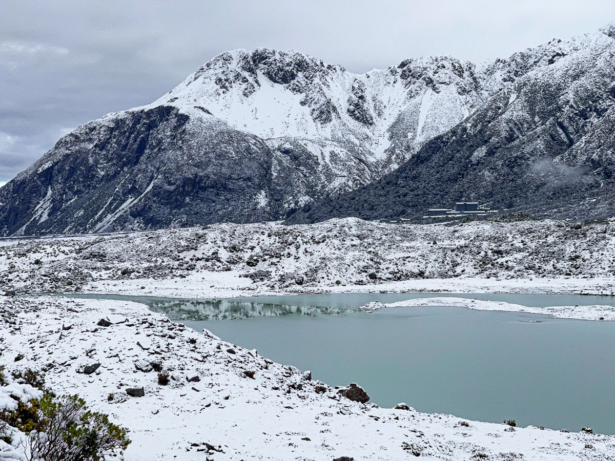
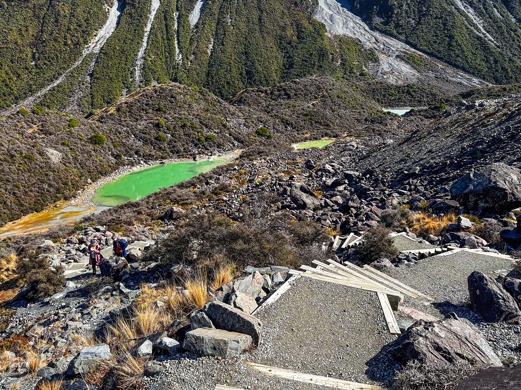
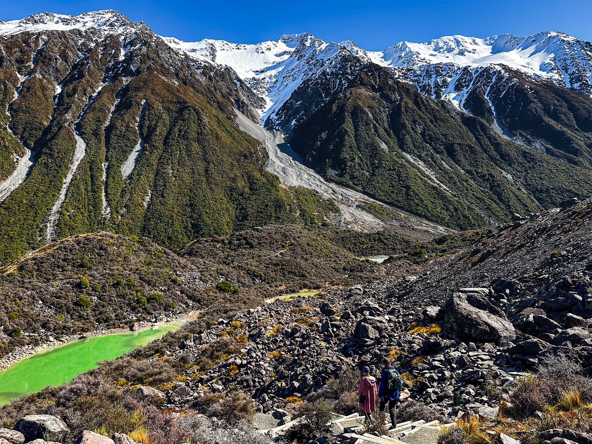
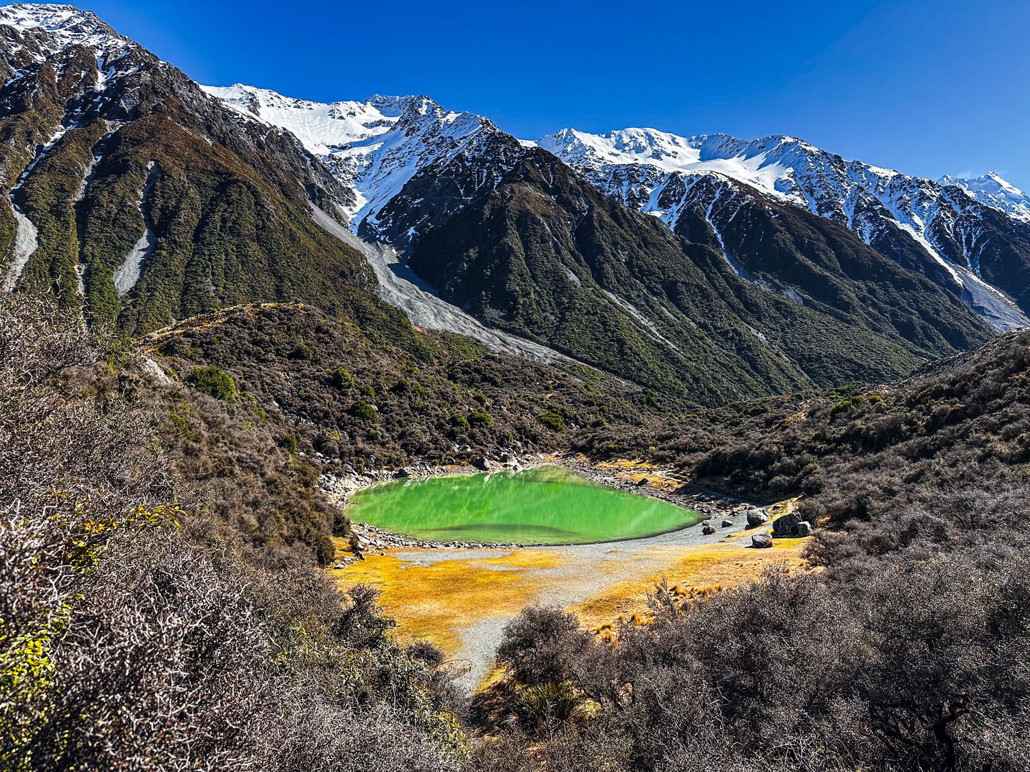
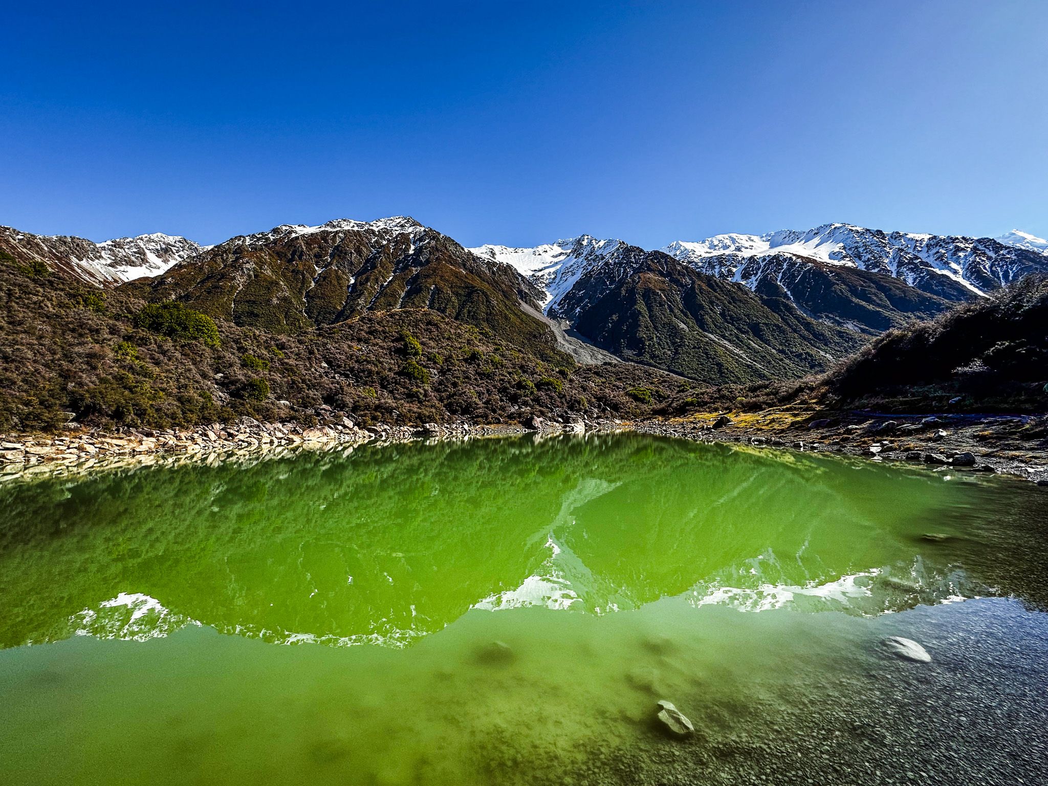
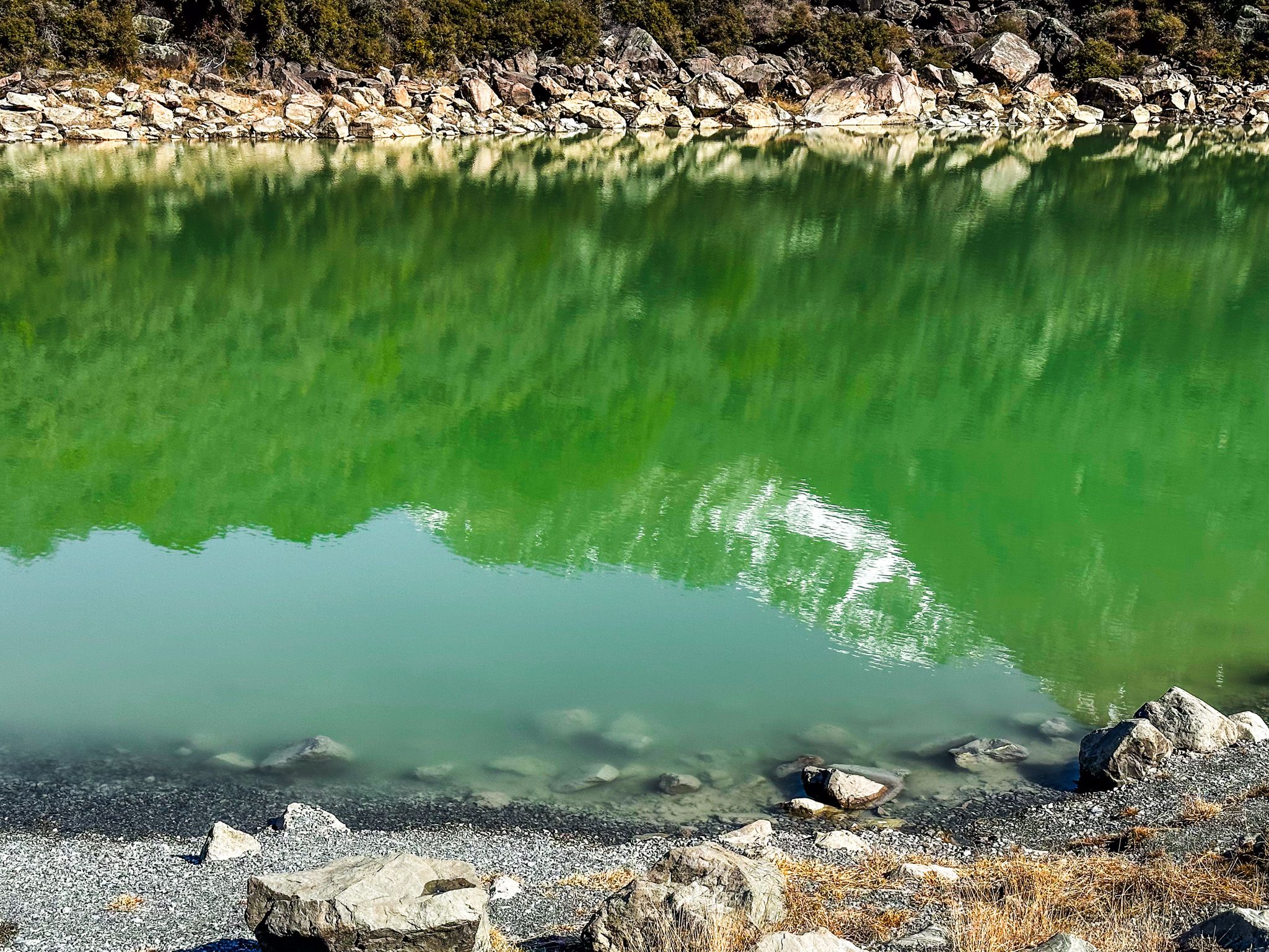
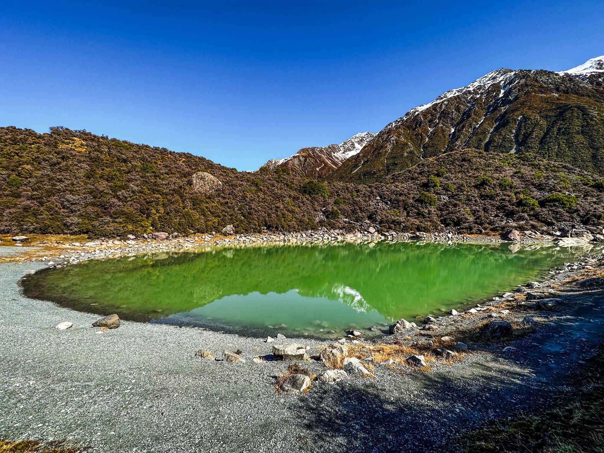
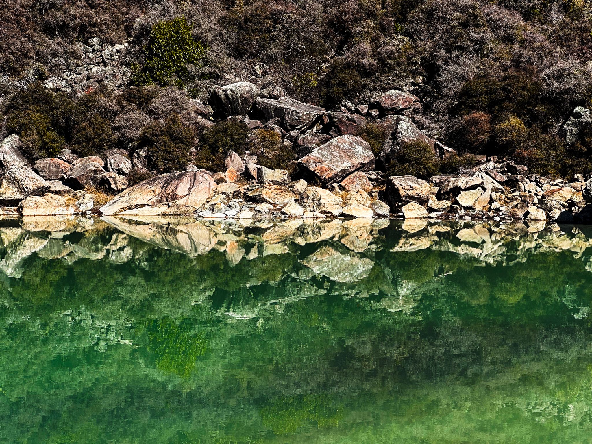
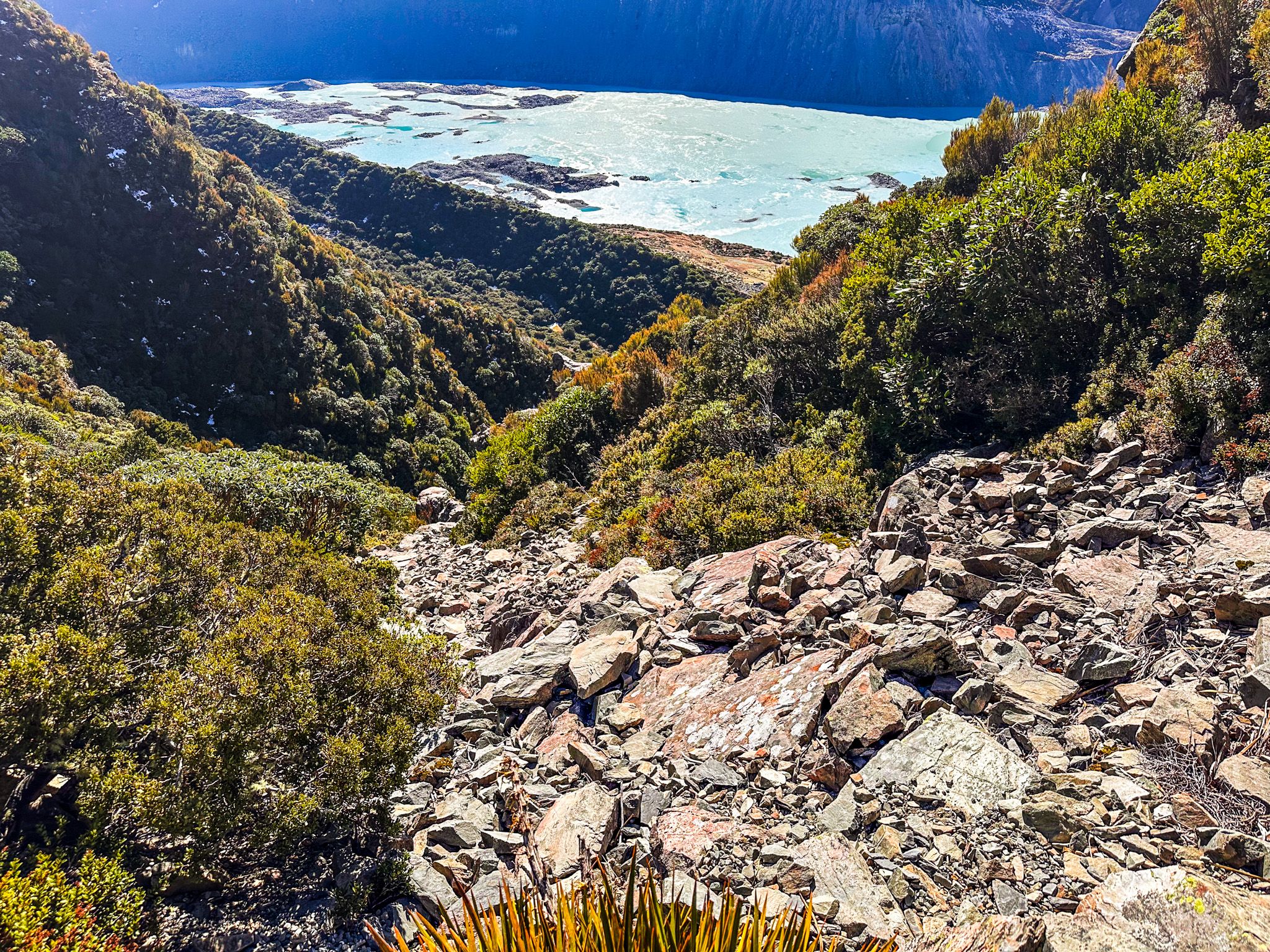
From the Tasman Lake car park, a 40-minute return side trip leads to the Blue Lakes, though the name is now something of a misnomer. These small tarns were once a vivid blue, fed by meltwater from the Tasman Glacier. As the glacier has retreated up the valley, the lakes have turned a bright, almost luminous green due to algal growth in the warmer, less glacially fed water.
This colour change is a visible reminder of the impact of climate change on alpine environments. What was once a direct glacial outflow is now a warming ecosystem adapting to new conditions. It's both beautiful and sobering, a landscape in transition that demonstrates how quickly these environments can transform.
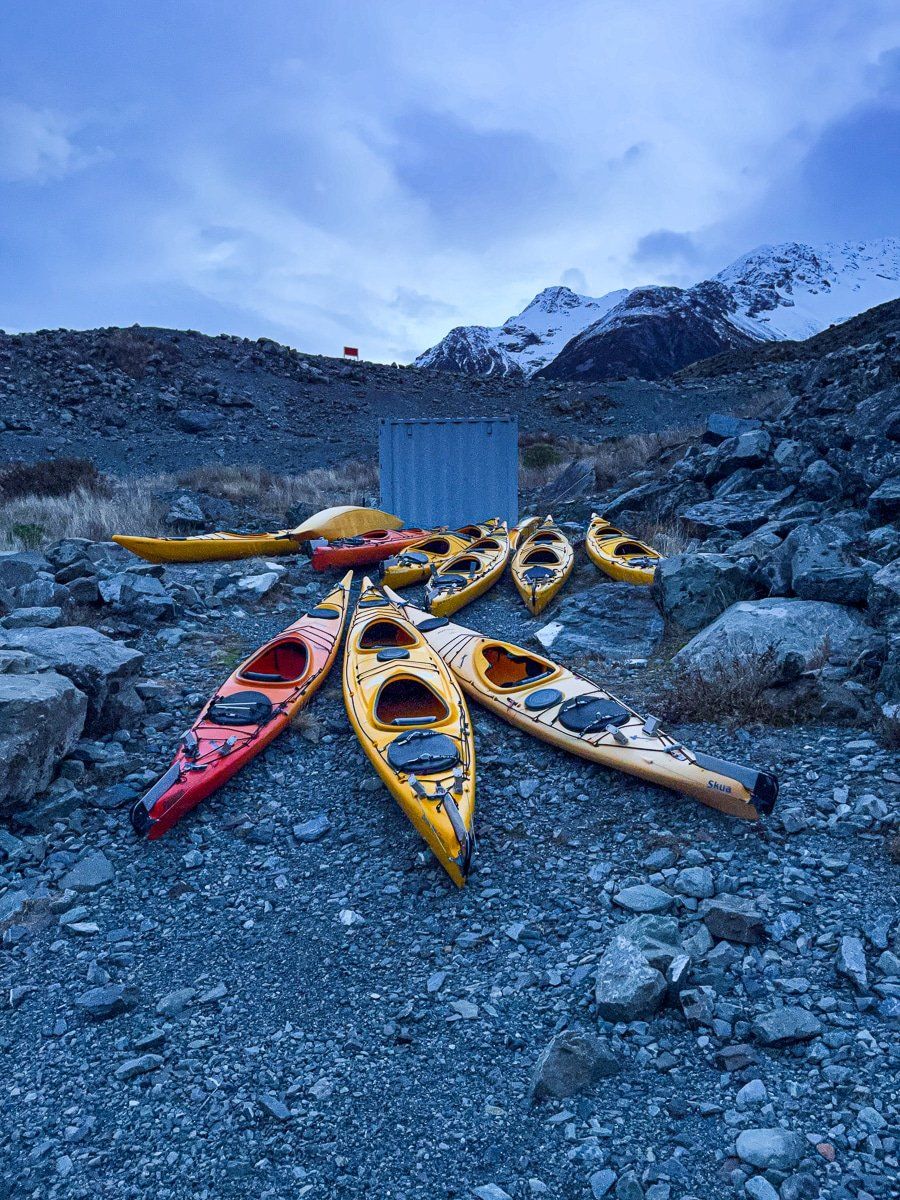
If you want to get even closer to the ice, guided boat tours operate on Tasman Lake, taking you right up to the icebergs and glacier face. It's an unforgettable way to appreciate the scale and power of these ancient glaciers.
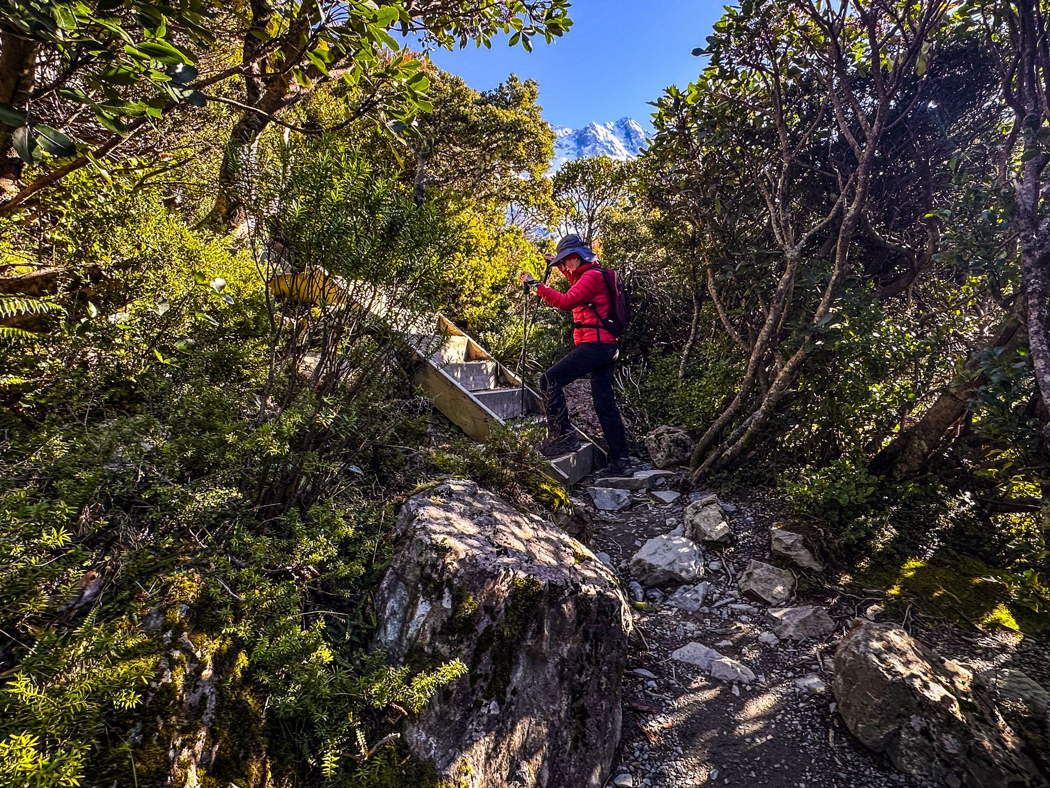
Sealy Tarns Track – Stairway to Heaven
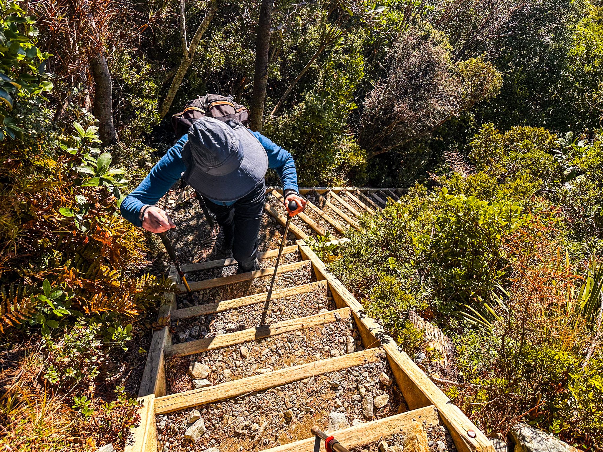
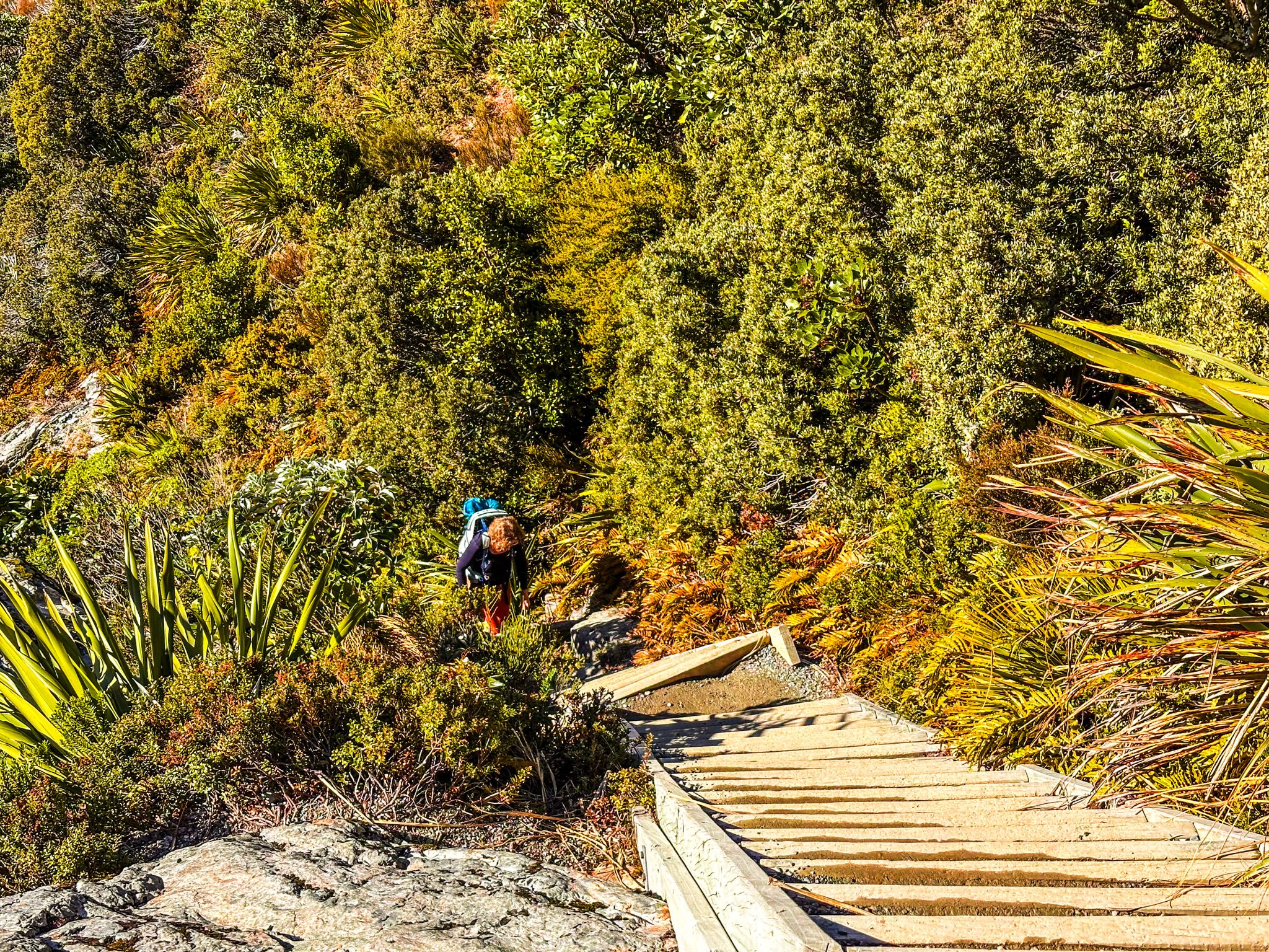
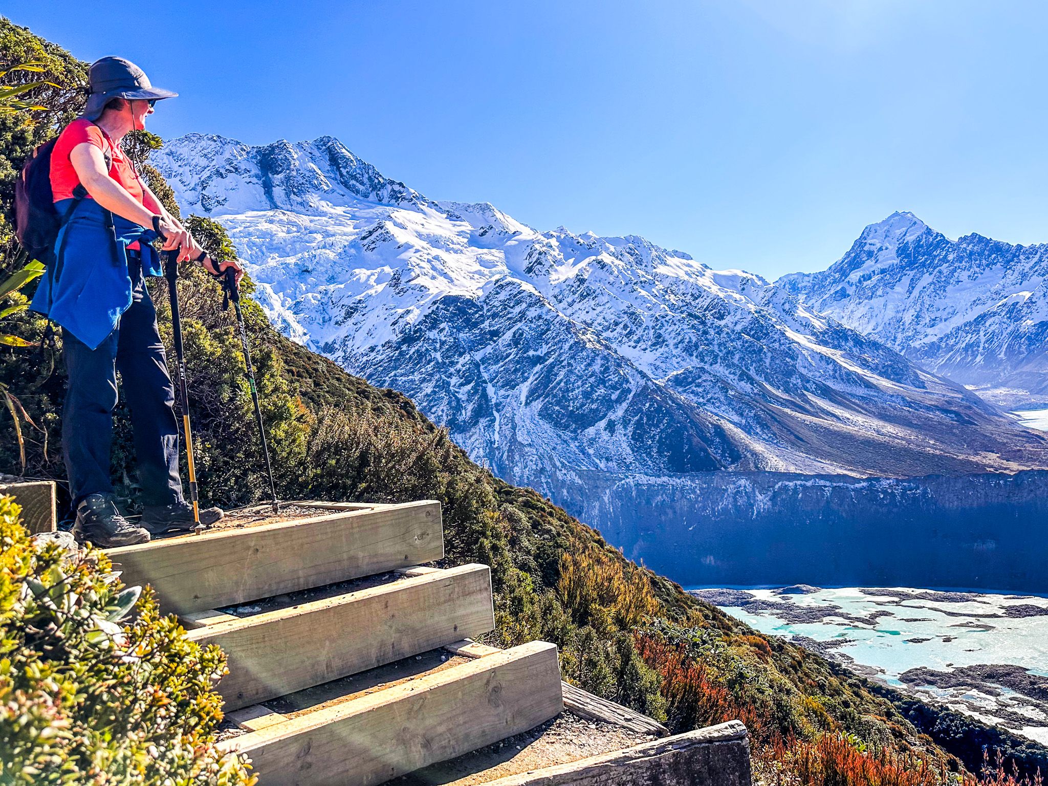
If you're ready to earn your views, the Sealy Tarns Track delivers in spades. This demanding climb tackles around 2,200 steps - yes, you read that right - gaining 500 metres of elevation to reach the tarns at 1,300 metres. The 3-4-hour return trip is a rigorous workout, but the payoff is some of the most celebrated views in the entire national park.
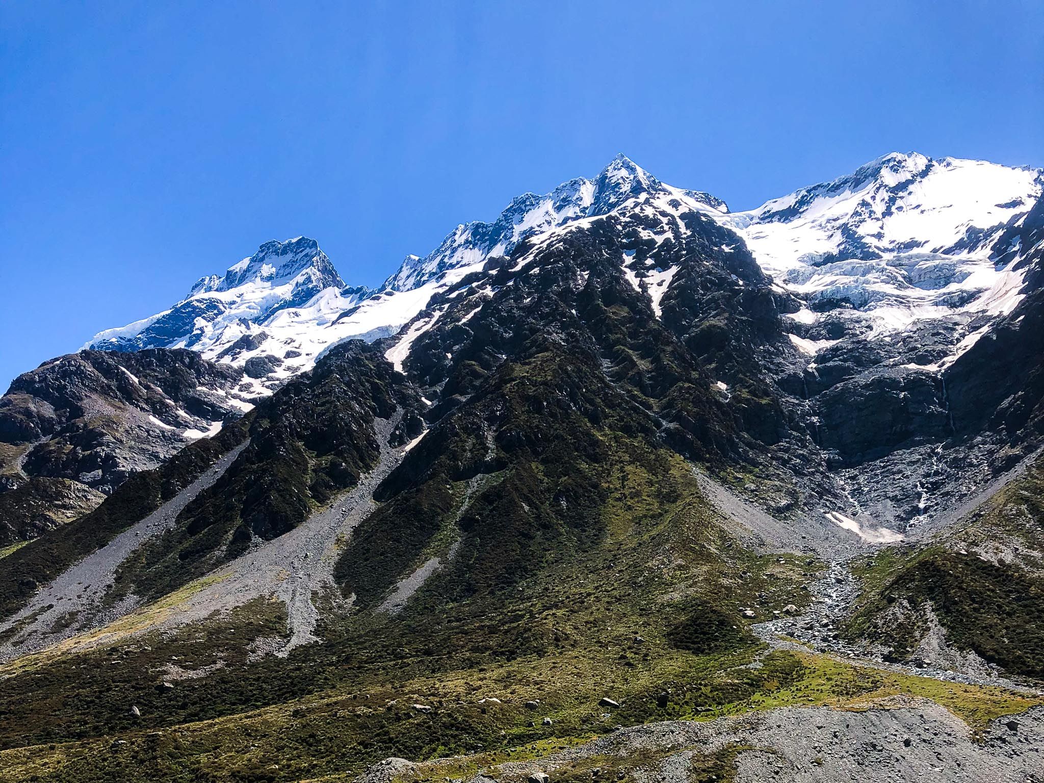
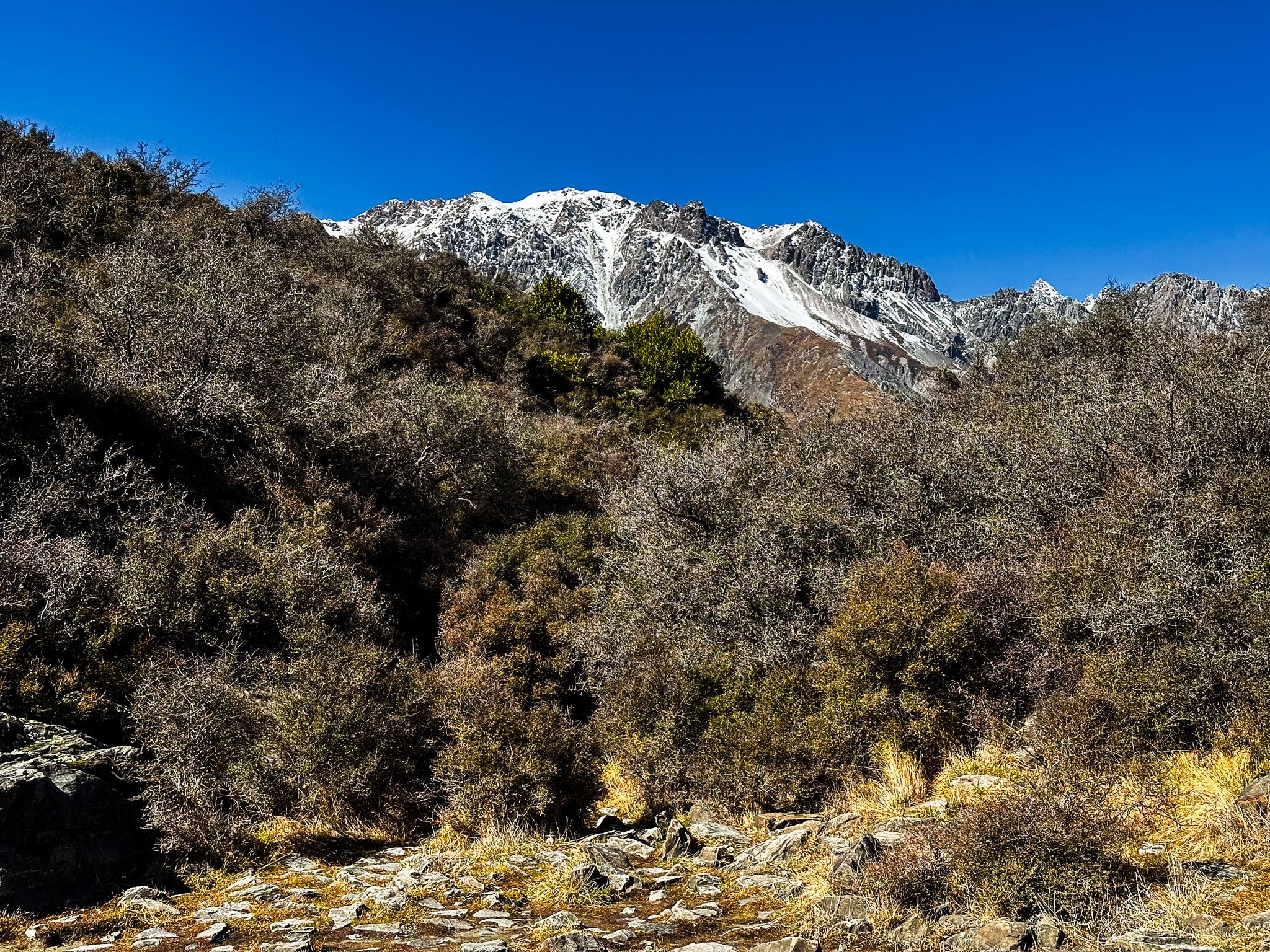
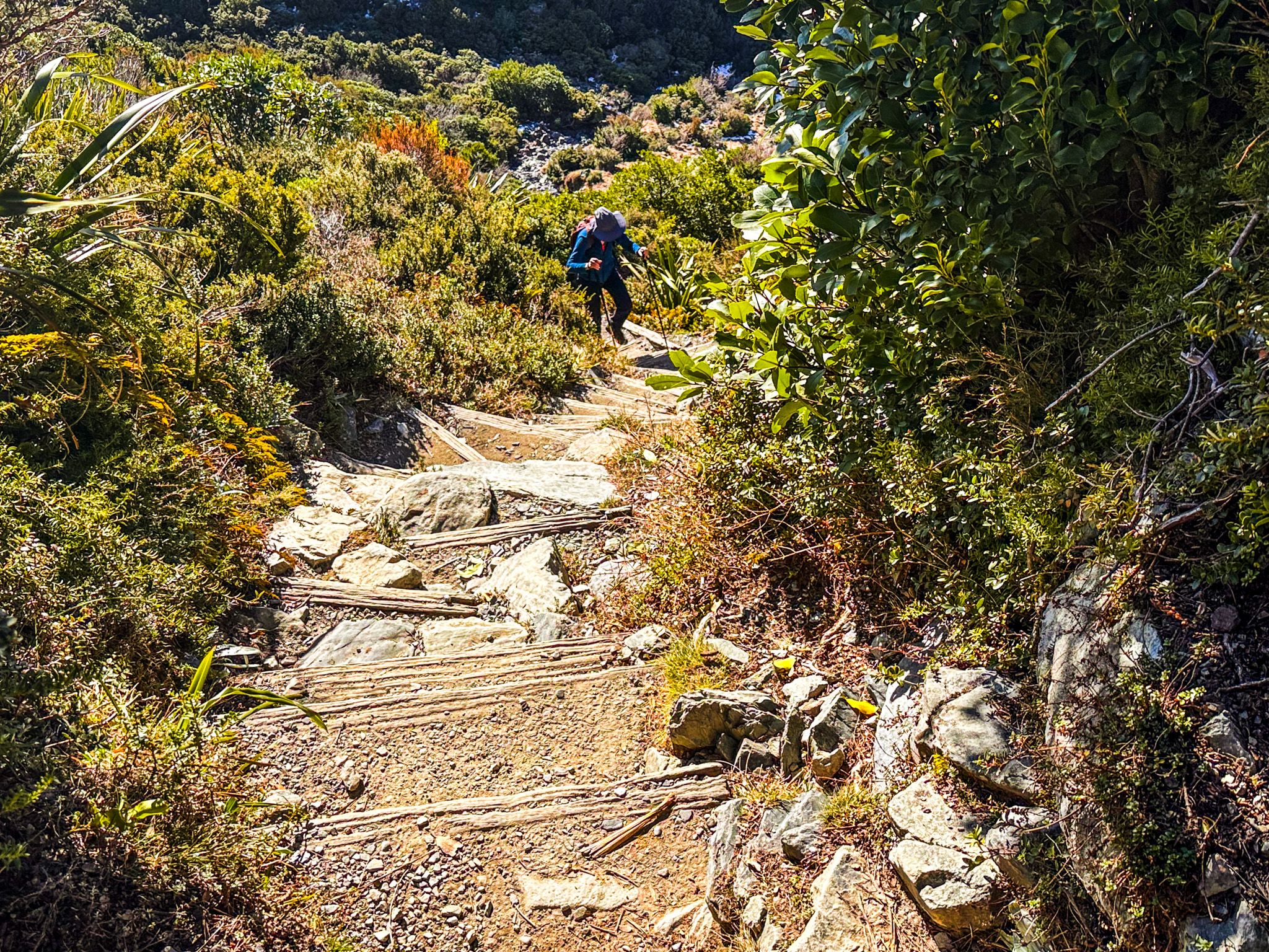
The track begins in subalpine scrub before climbing steadily through changing vegetation zones. As you gain height, the scrub gives way to tussock slopes dotted with colourful mountain flowers in spring and summer. Each switchback reveals more of the valley below, with the Mueller Glacier and Hooker Lake gradually coming into view.
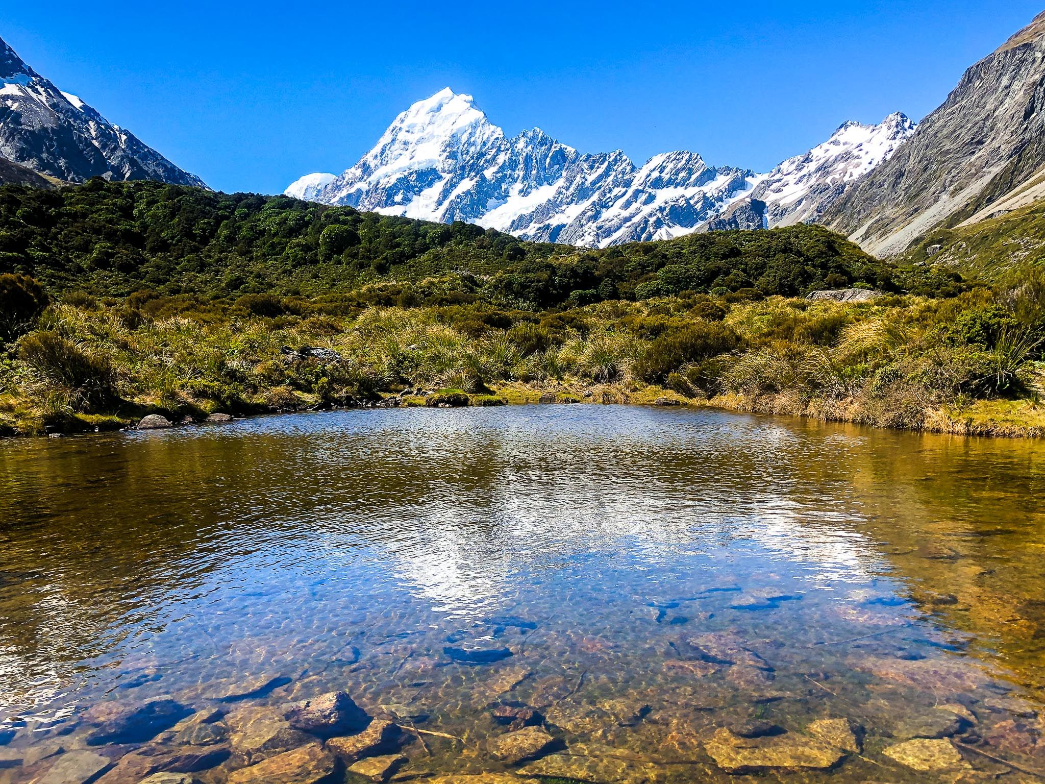
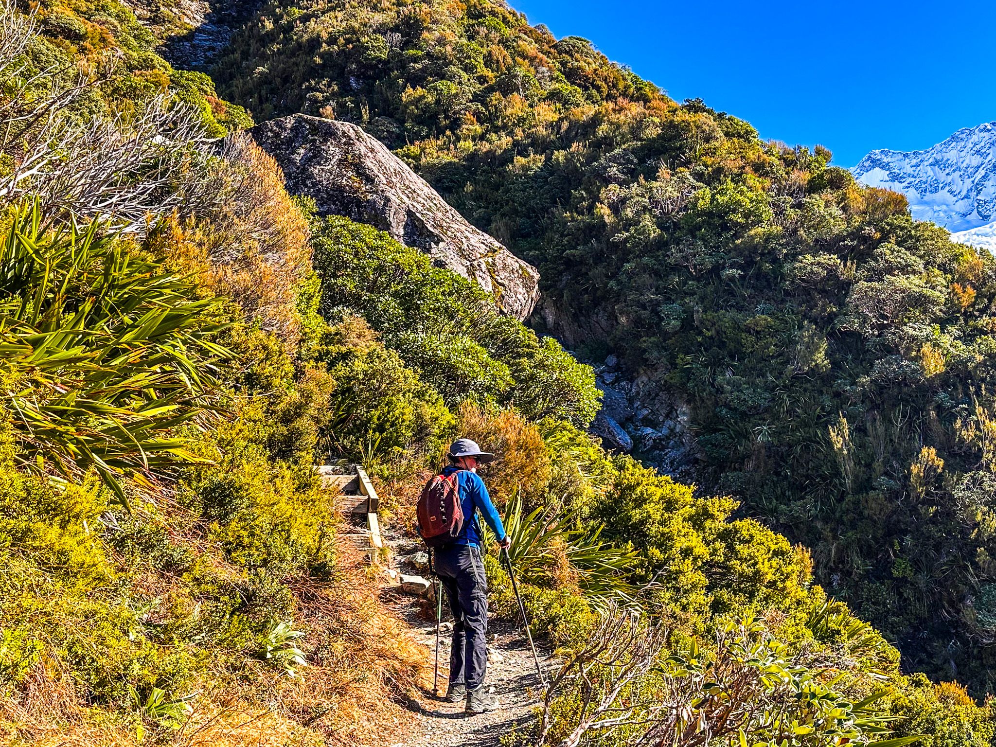
The tarns themselves sit in a glacial cirque. In Winter and early spring, they are frozen, but otherwise, their still waters reflect the surrounding peaks. A picnic table positioned at the tarns faces directly toward Aoraki, arguably the best lunch spot in Aotearoa, New Zealand. From this vantage point, you're looking across at the mountain rather than up at it, giving a true sense of its massive scale and the technical challenges it presents to climbers.
The track faces north, catching the sun throughout the day, which makes it surprisingly accessible even in winter. On fine winter days when other tracks might be icy or snow-covered, Sealy Tarns often remains doable for well-prepared walkers. The sun-facing aspect also means you'll want to start early in summer to avoid the midday heat on those relentless steps.
For the ambitious, the track continues beyond the tarns to Mueller Hut, perched at 1,800 metres. This adds another 2-3 hours and requires alpine experience, but the hut offers overnight accommodation if you want to experience sunrise in the high mountains.
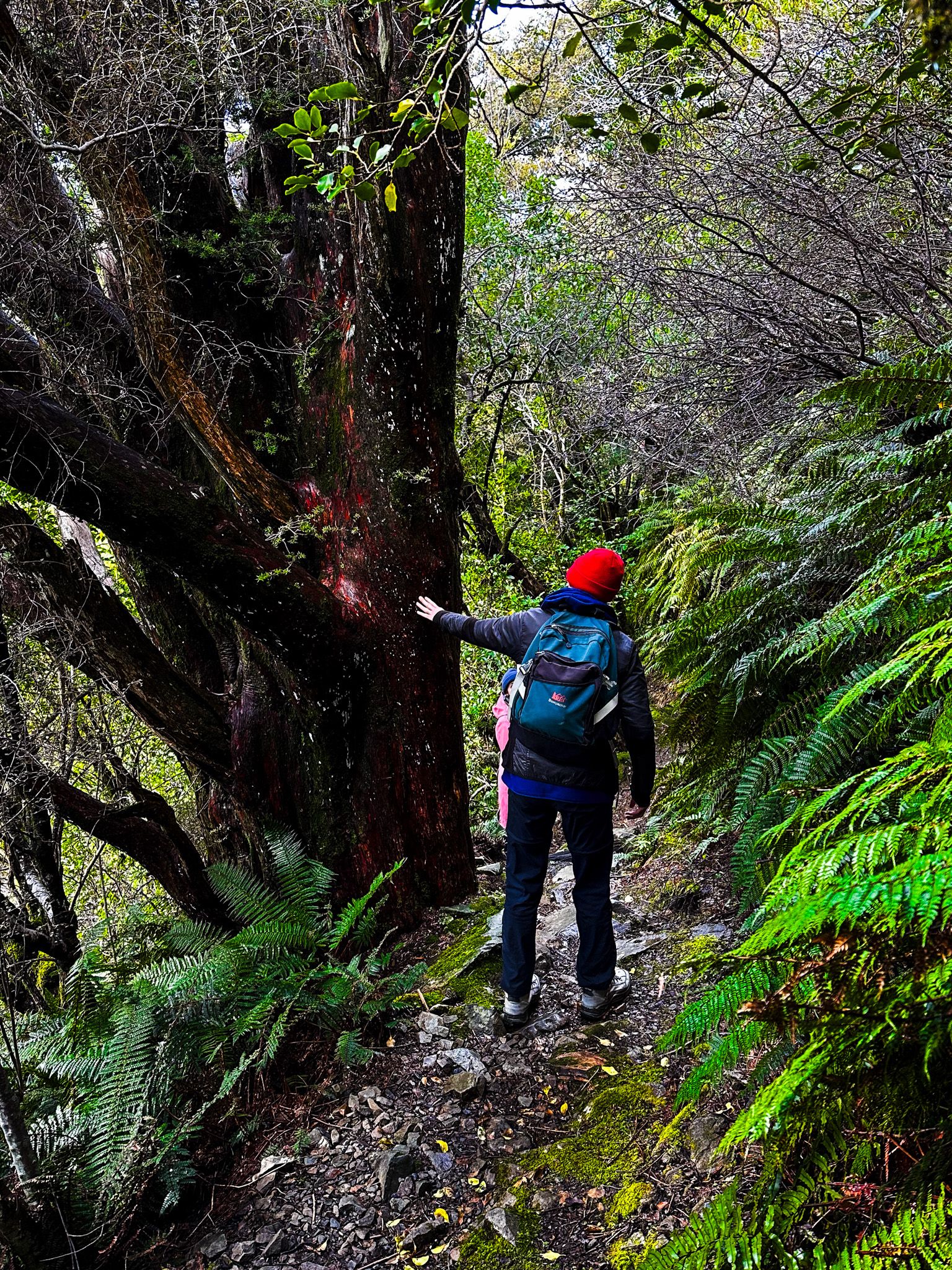
Governors Bush Track – Forest Sanctuary
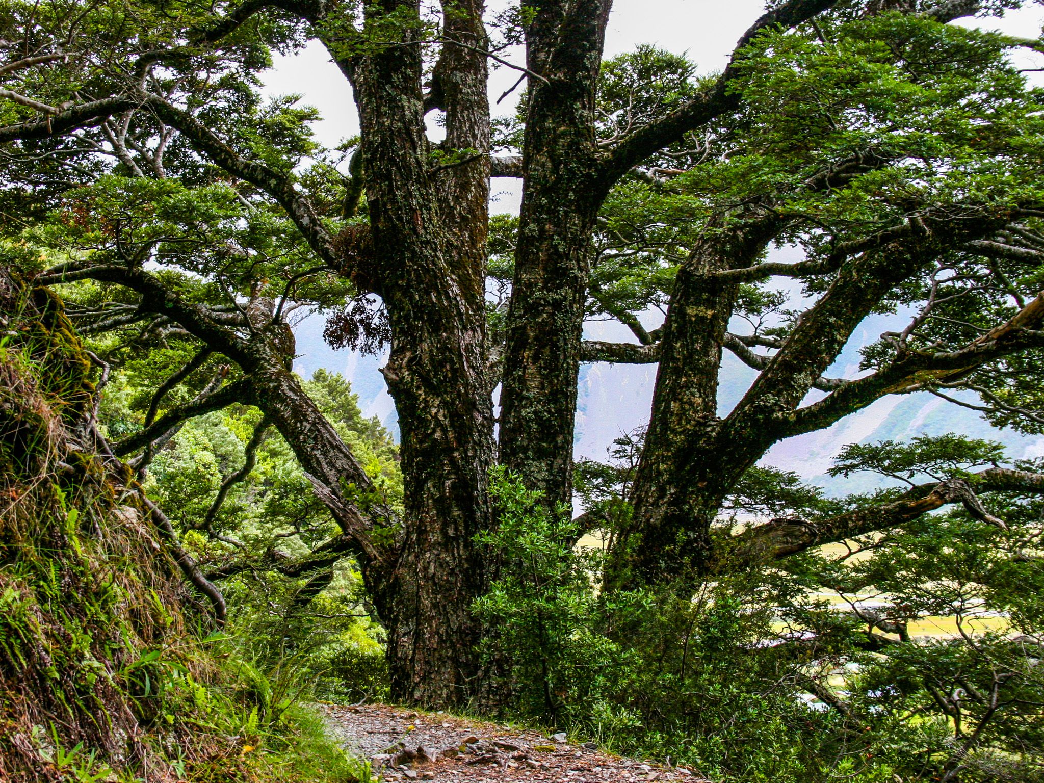
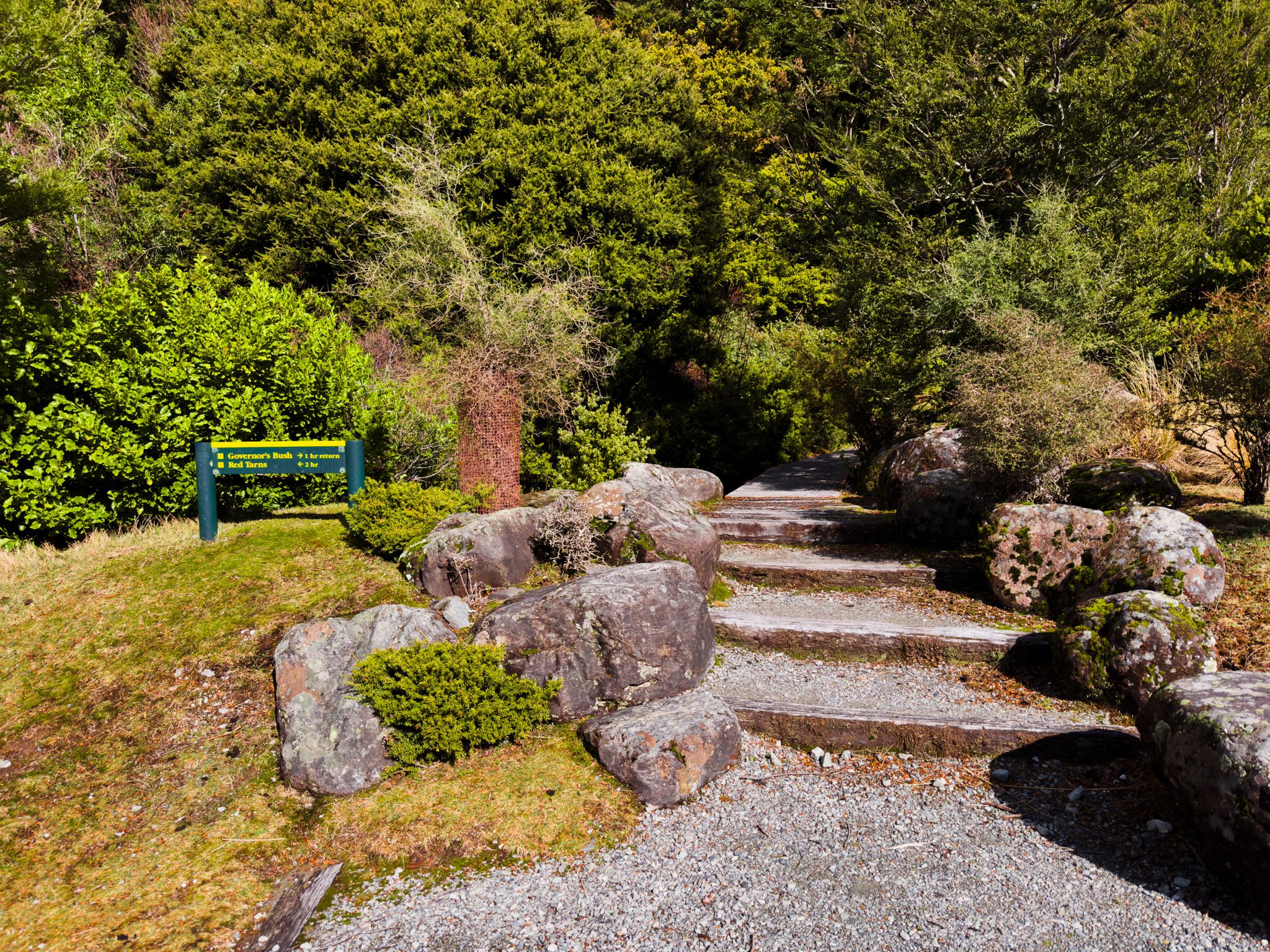
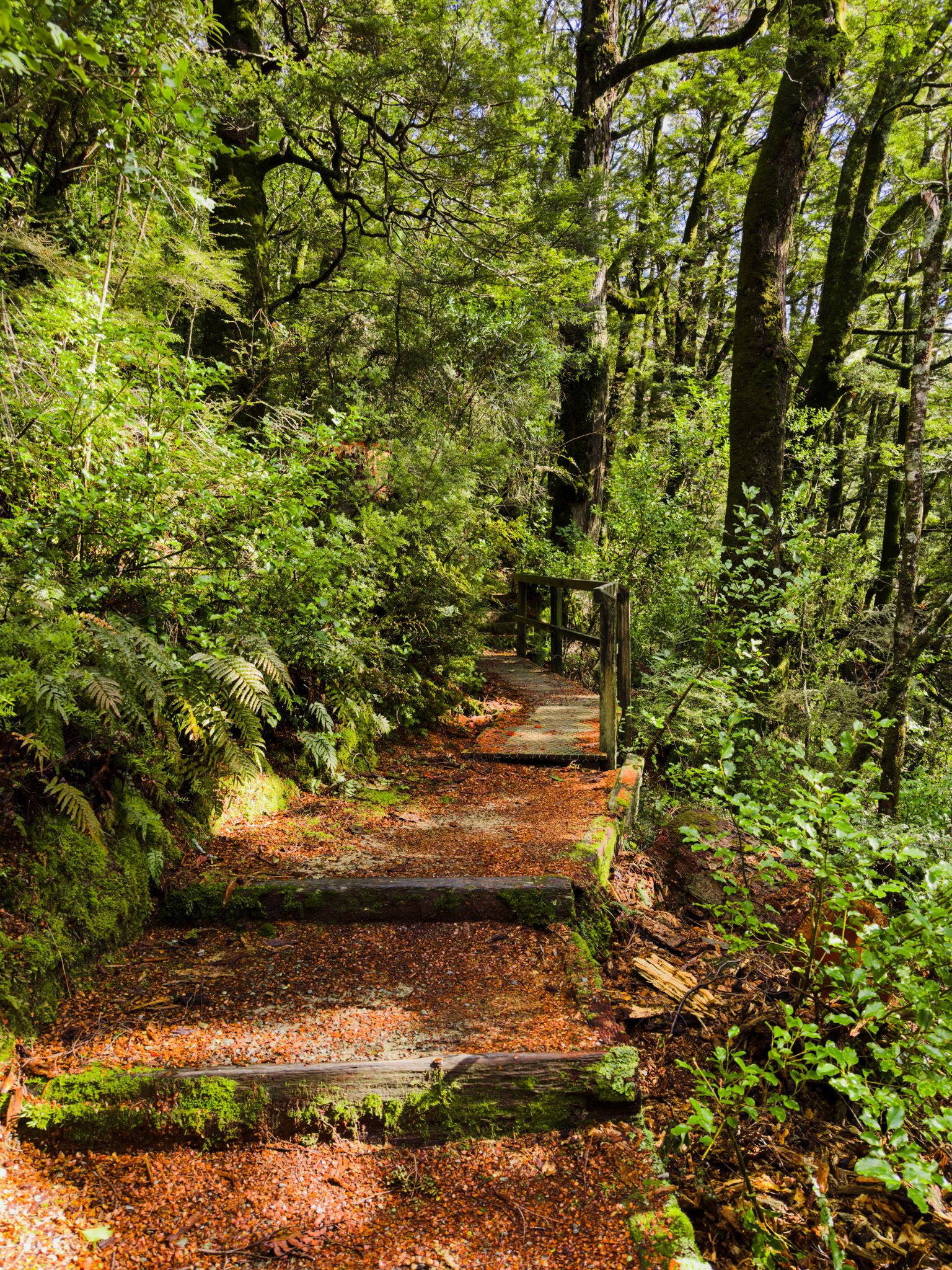
Not every walk needs to be an epic alpine adventure. Sometimes the best experiences come in small, perfectly formed packages—and the Governors Bush Track is exactly that. This easy 1.2-kilometre loop takes just 45 minutes and gives you a complete change of scenery from the exposed mountain tracks.
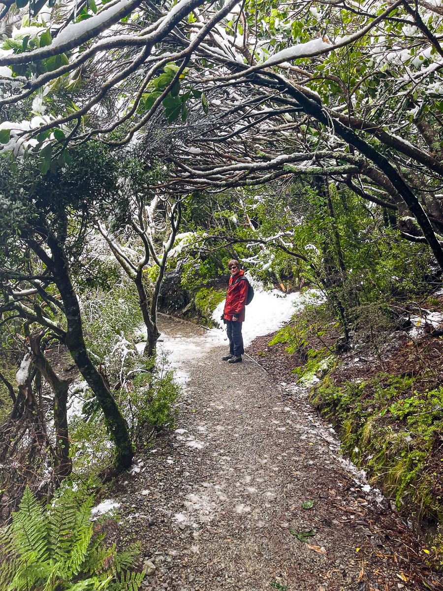
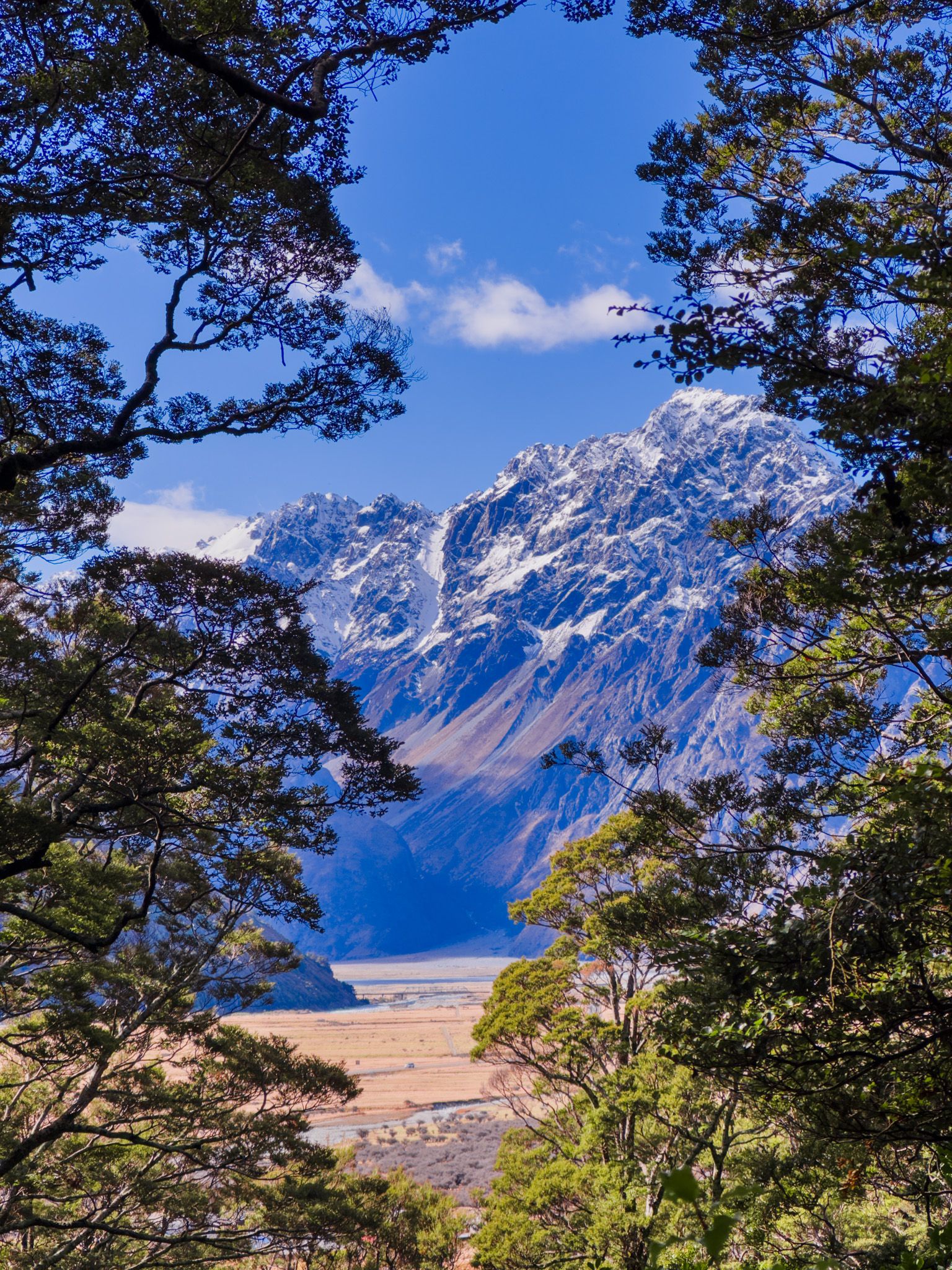
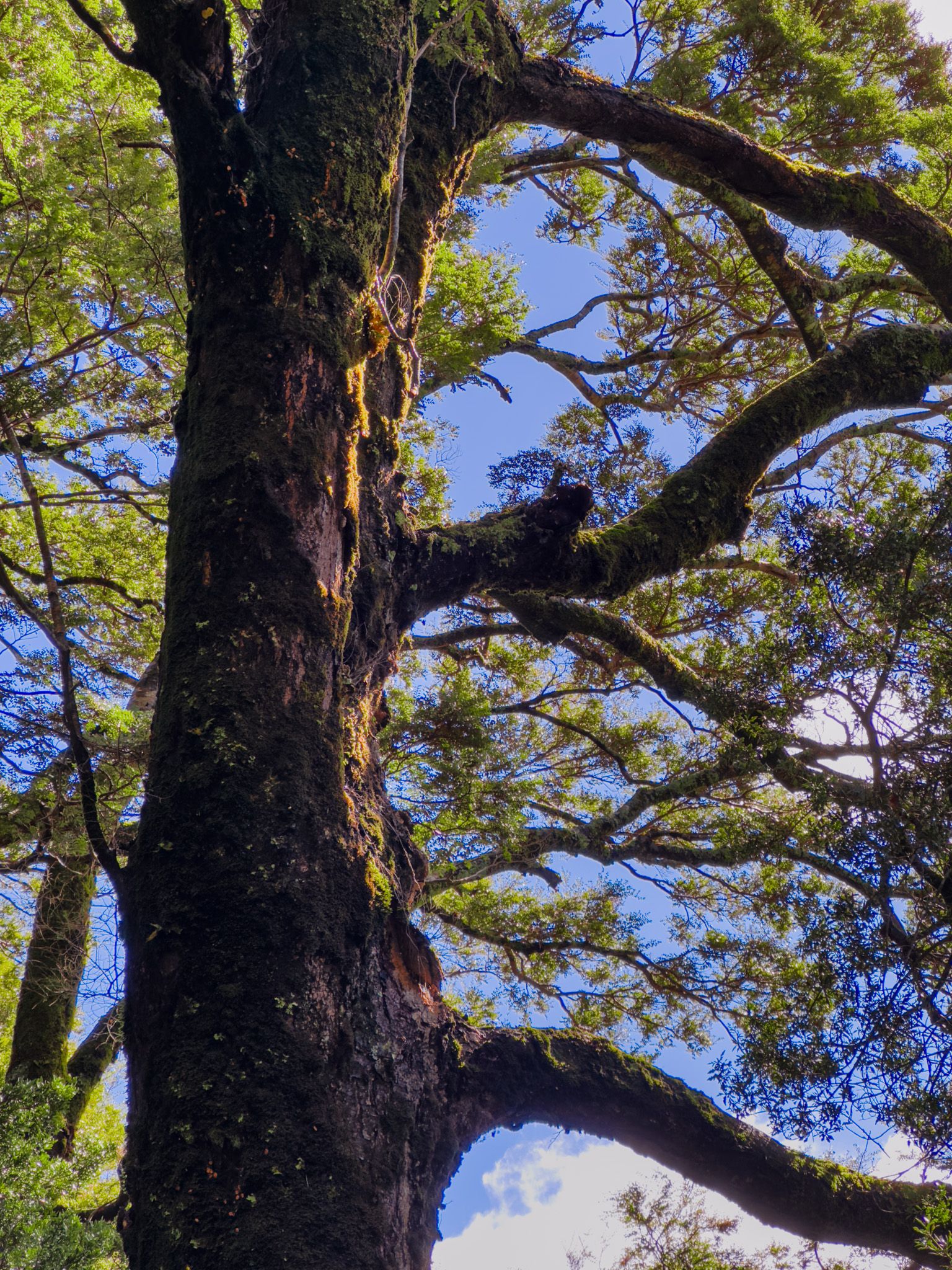
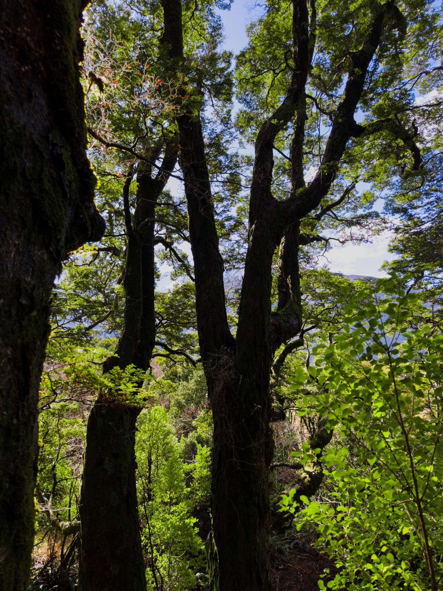
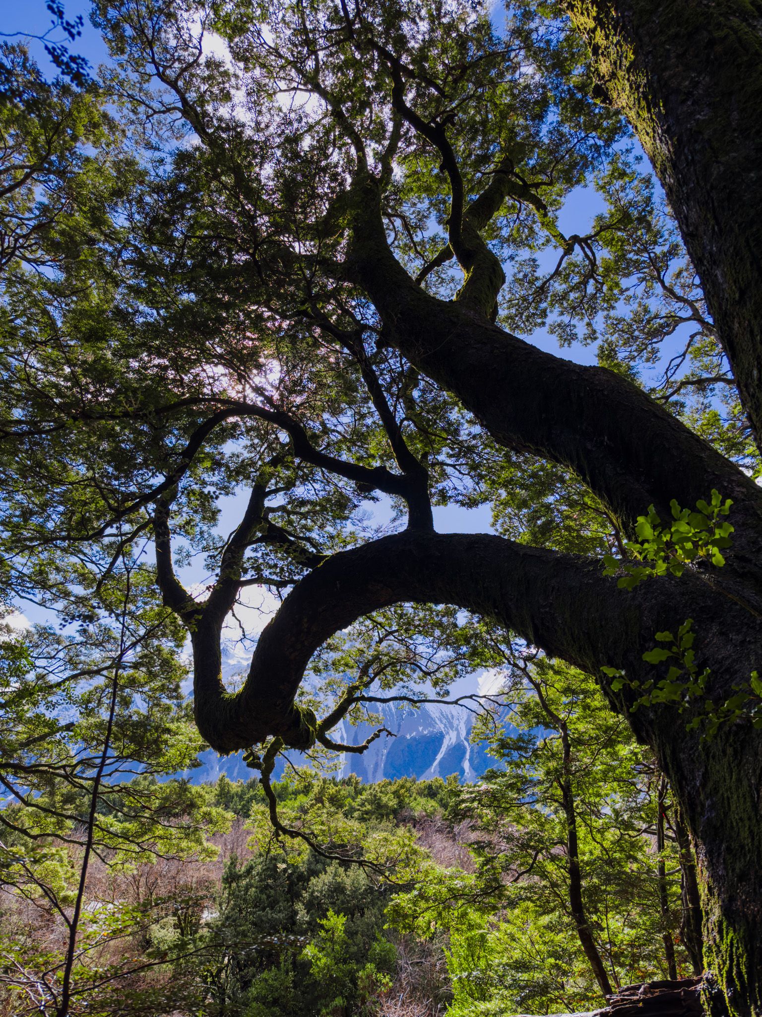
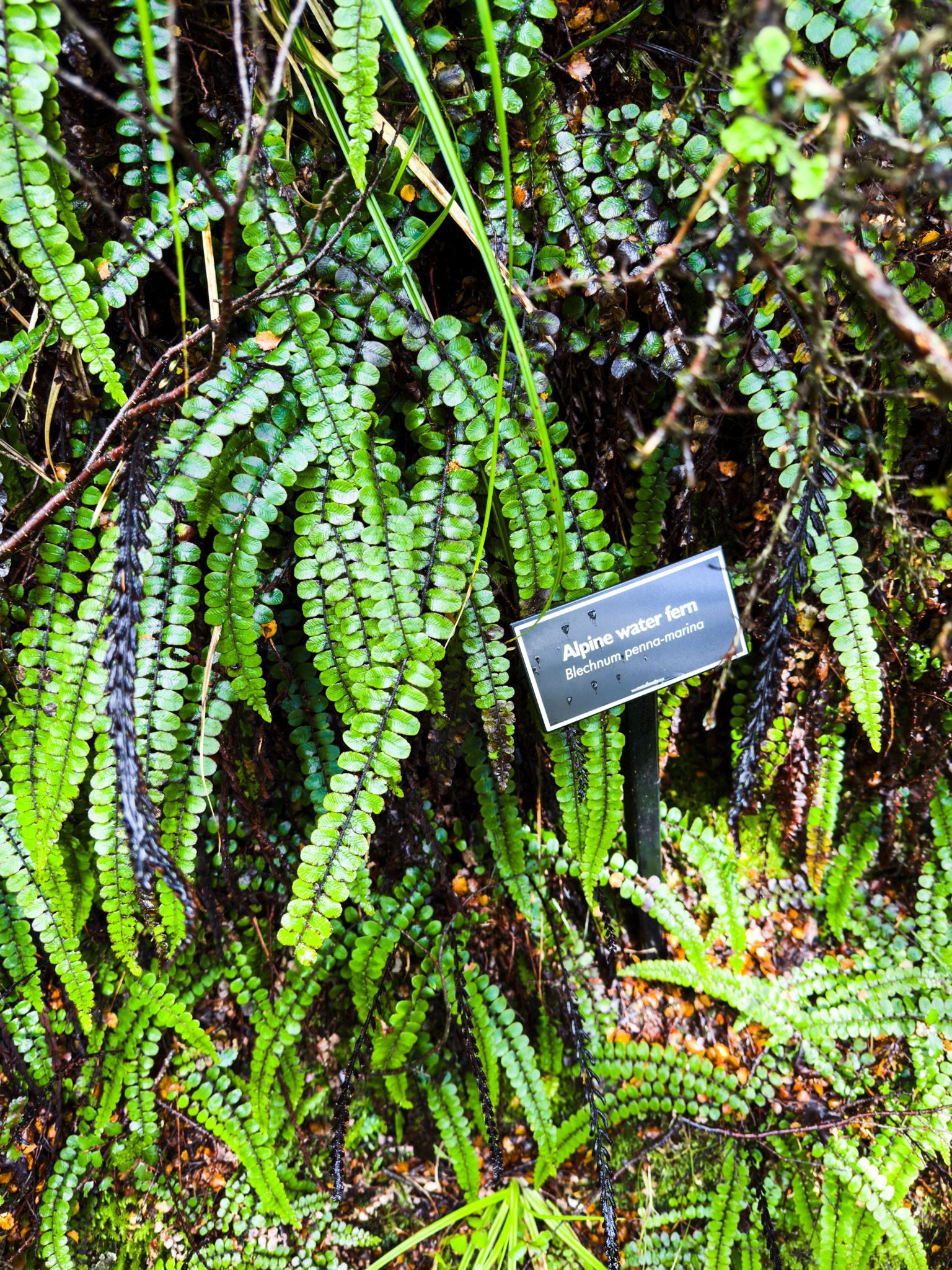
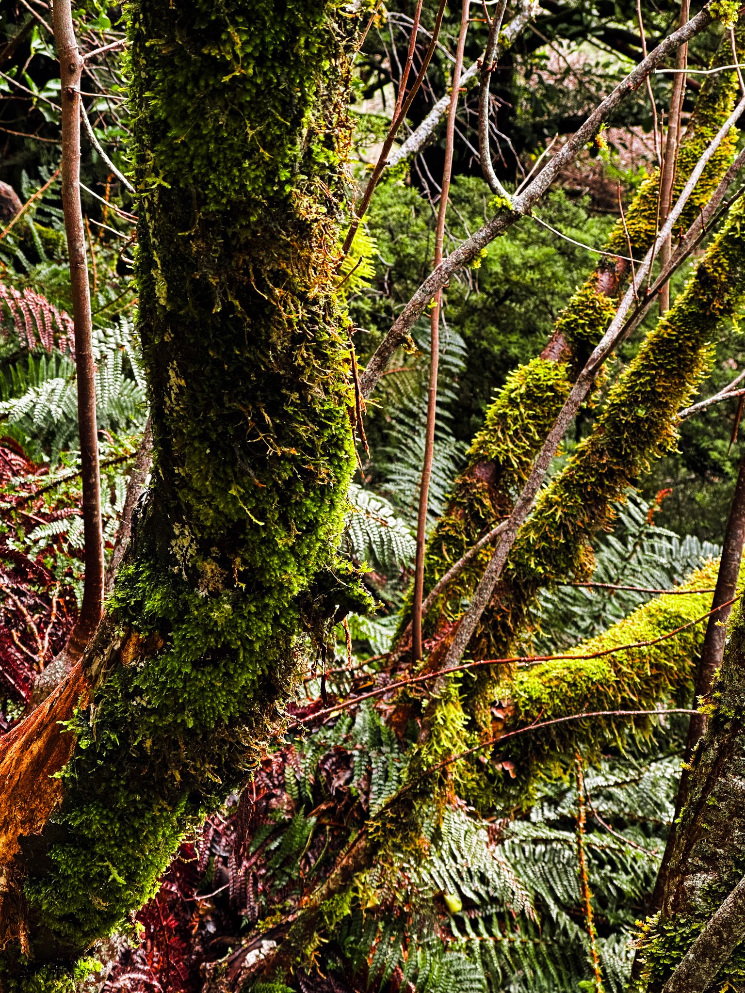
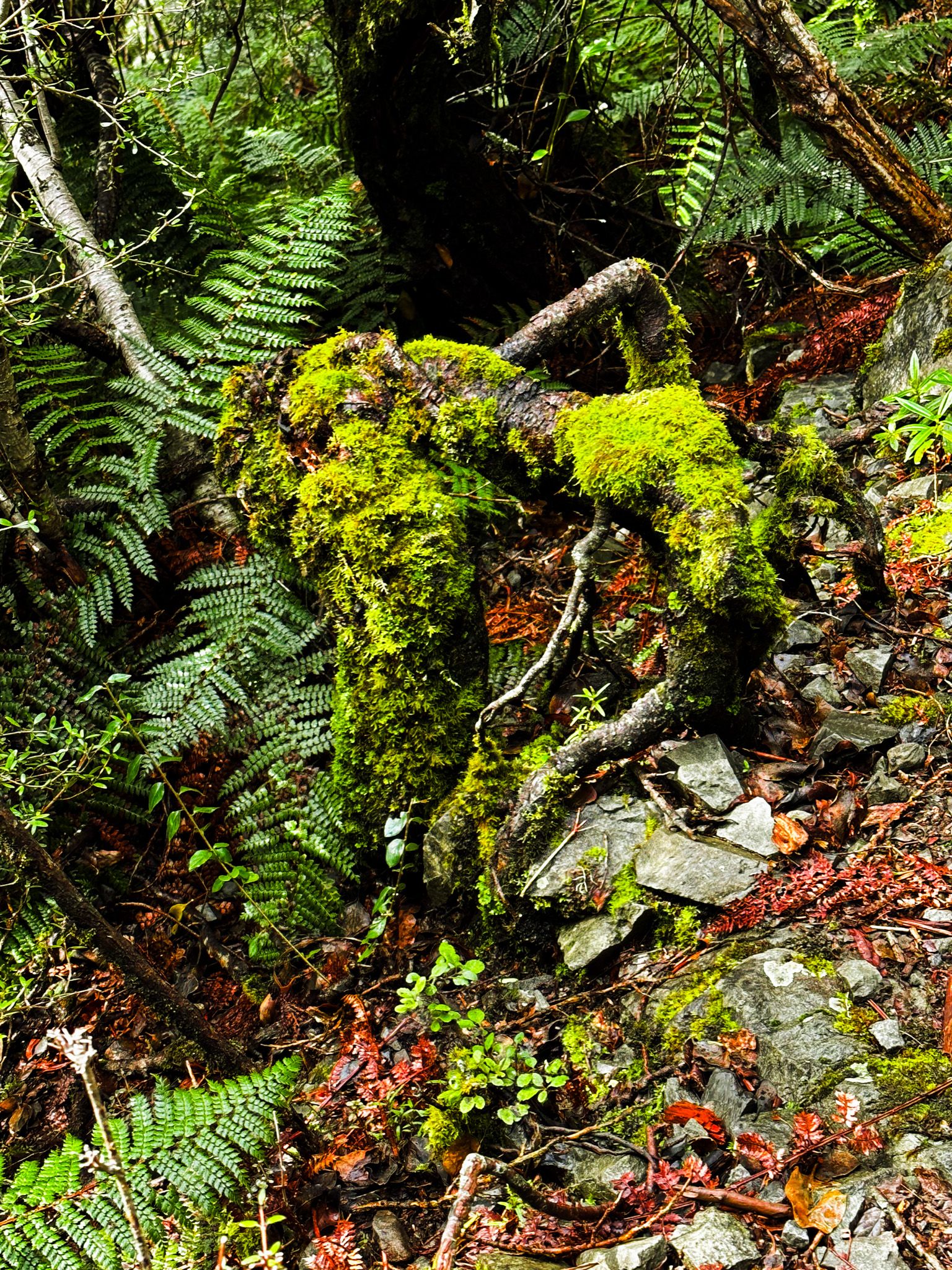
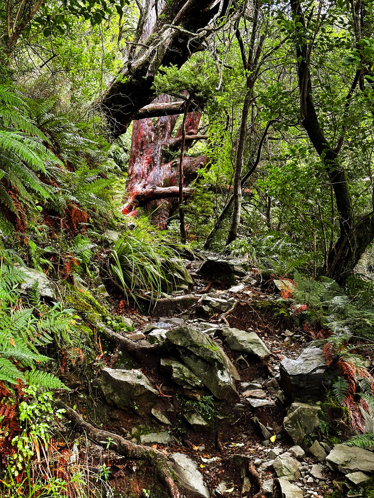
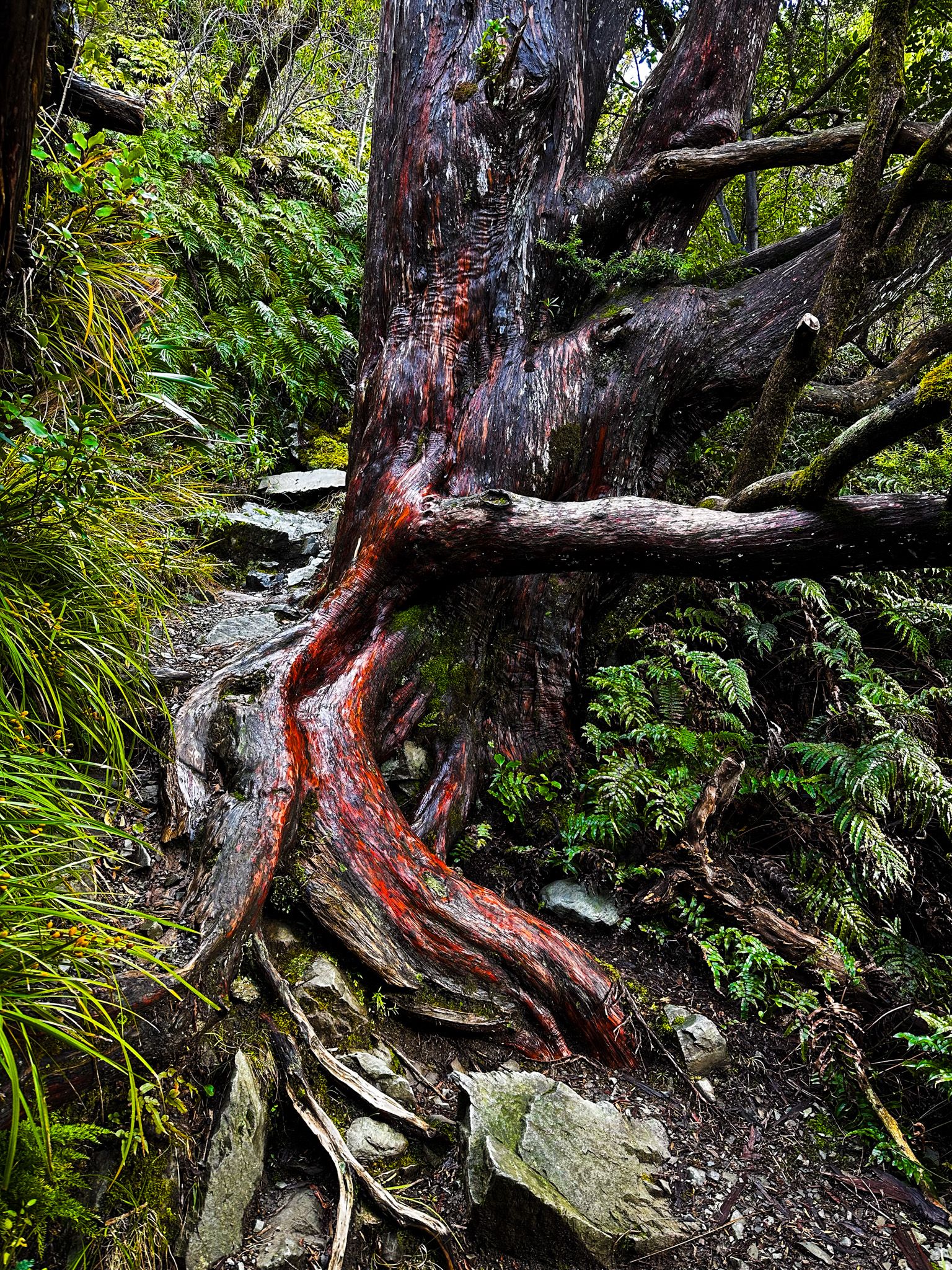
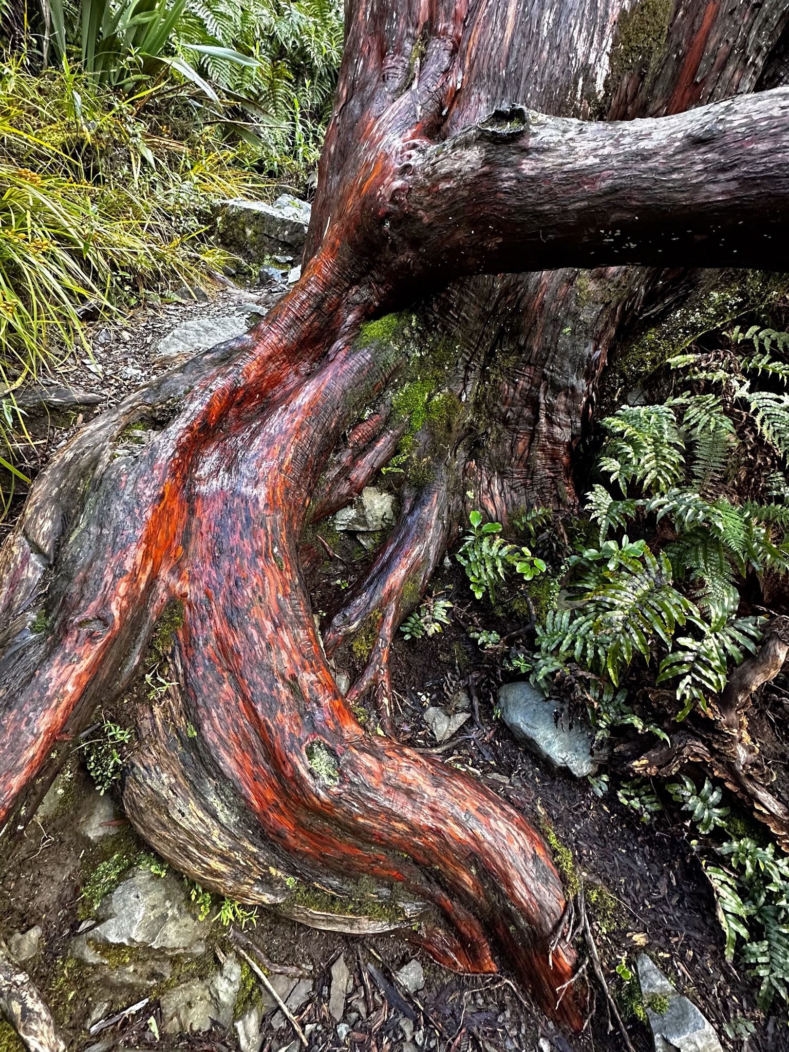
The track winds through native mountain beech and ribbonwood forest, where dappled light filters through the canopy and the air is filled with birdsong. Listen for the distinctive calls of bellbirds and watch for fantails darting through the undergrowth. With just 130 metres of elevation gain, this is a gentle climb that feels worlds away from the stark alpine landscape just beyond the trees.
The track's highlight is a lookout that opens up views across the valley to Aoraki and the Sealy Range. It's a reminder that even in this forest sanctuary, the mountains are never far away. The contrast between the intimate forest environment and the vast alpine panorama makes this viewpoint particularly special.
The track is named for an early Governor of New Zealand who visited the area in the 1890s, during the pioneering days of tourism to Mount Cook. It's perfect for those days when the weather isn't suitable for higher walks, or when you simply want a peaceful forest experience without the crowds and commitment of the longer tracks.


Glencoe Stream Track – Quick Alpine Fix
If your time in Aoraki Mount Cook Village is limited, or you're looking for a quick escape into nature between other activities, the Glencoe Stream Track provides maximum impact in minimum time. This short walk takes just 10 minutes but includes native forest, a mountain stream, and alpine views.
The track begins right behind the Hermitage Hotel, climbing steeply through shaded forest alongside Glencoe Stream. The path is well-maintained but gains elevation quickly, making it more of a workout than its short distance suggests. Within minutes, you emerge at a viewpoint that looks across the valley to the Sealy Range and Aoraki beyond.
It's the perfect walk for early morning or late afternoon, when you want to stretch your legs without committing to a longer expedition. The forest provides welcome shade on hot days, and the viewpoint gives you a different perspective on the mountains than you'll get from the village itself. For such a small investment of time and energy, the rewards are surprising.
Planning Your Visit
When to Visit
- Year-round access to the area
- Best for wildflowers: December-January (giant Mt Cook buttercup blooms)
- Cheapest accommodation: October
- Winter access: Campsite facilities are reduced June-August, including toilets, but you can still camp and most tracks remain accessible
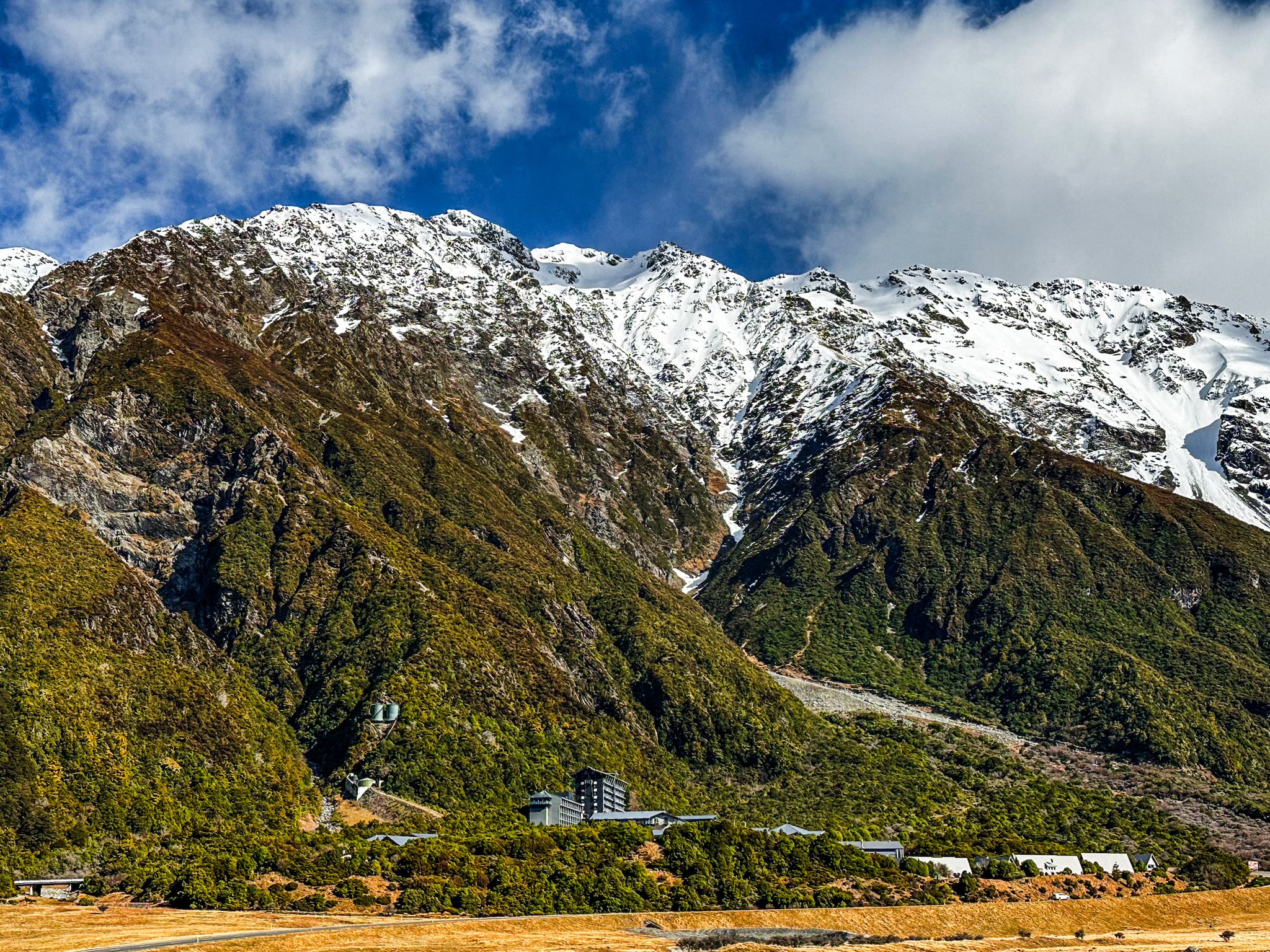
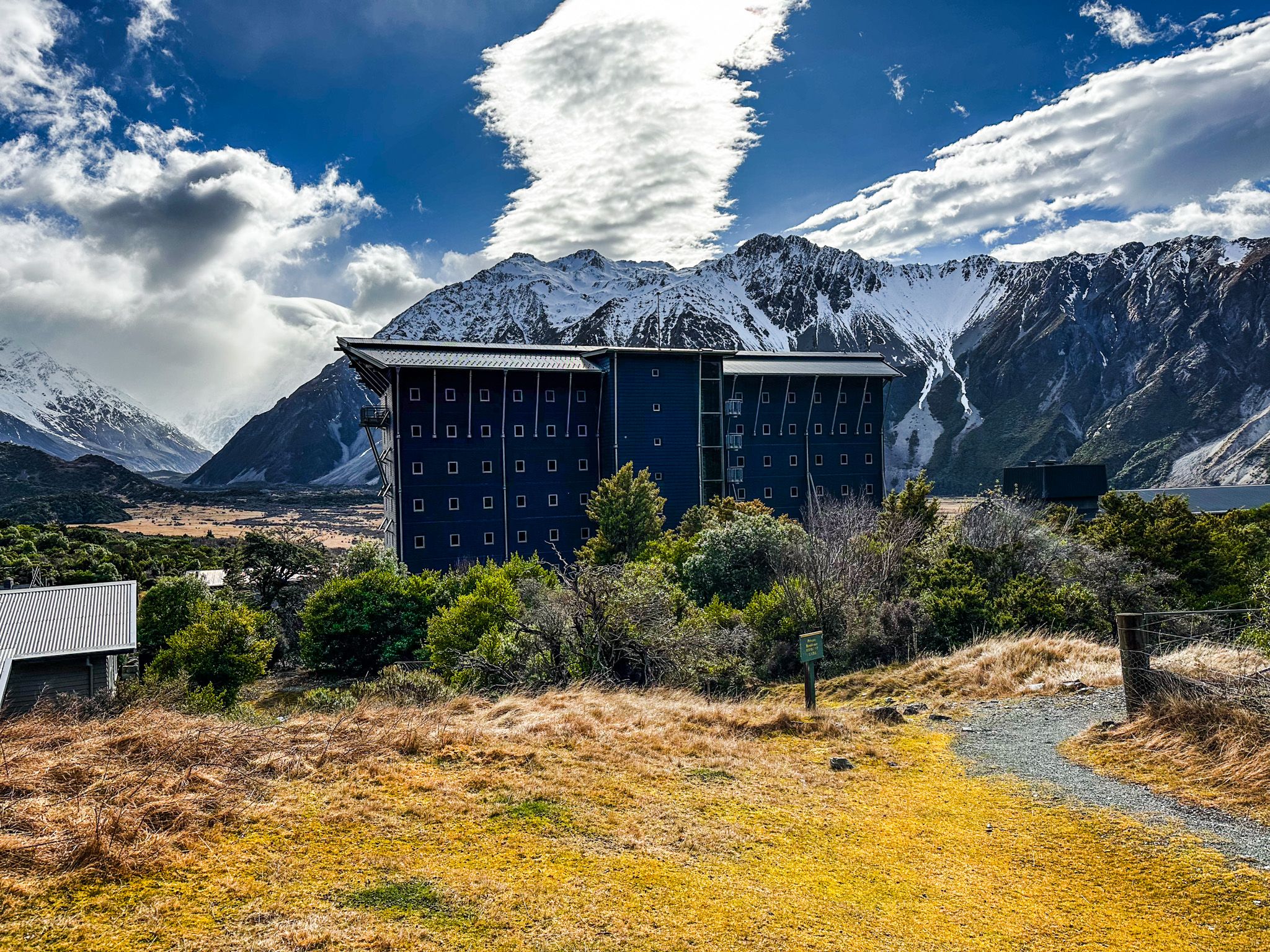
Where to Stay
- Budget: White Horse Hill Campsite
- Mid-range to luxury: Range of options in Mt Cook Village
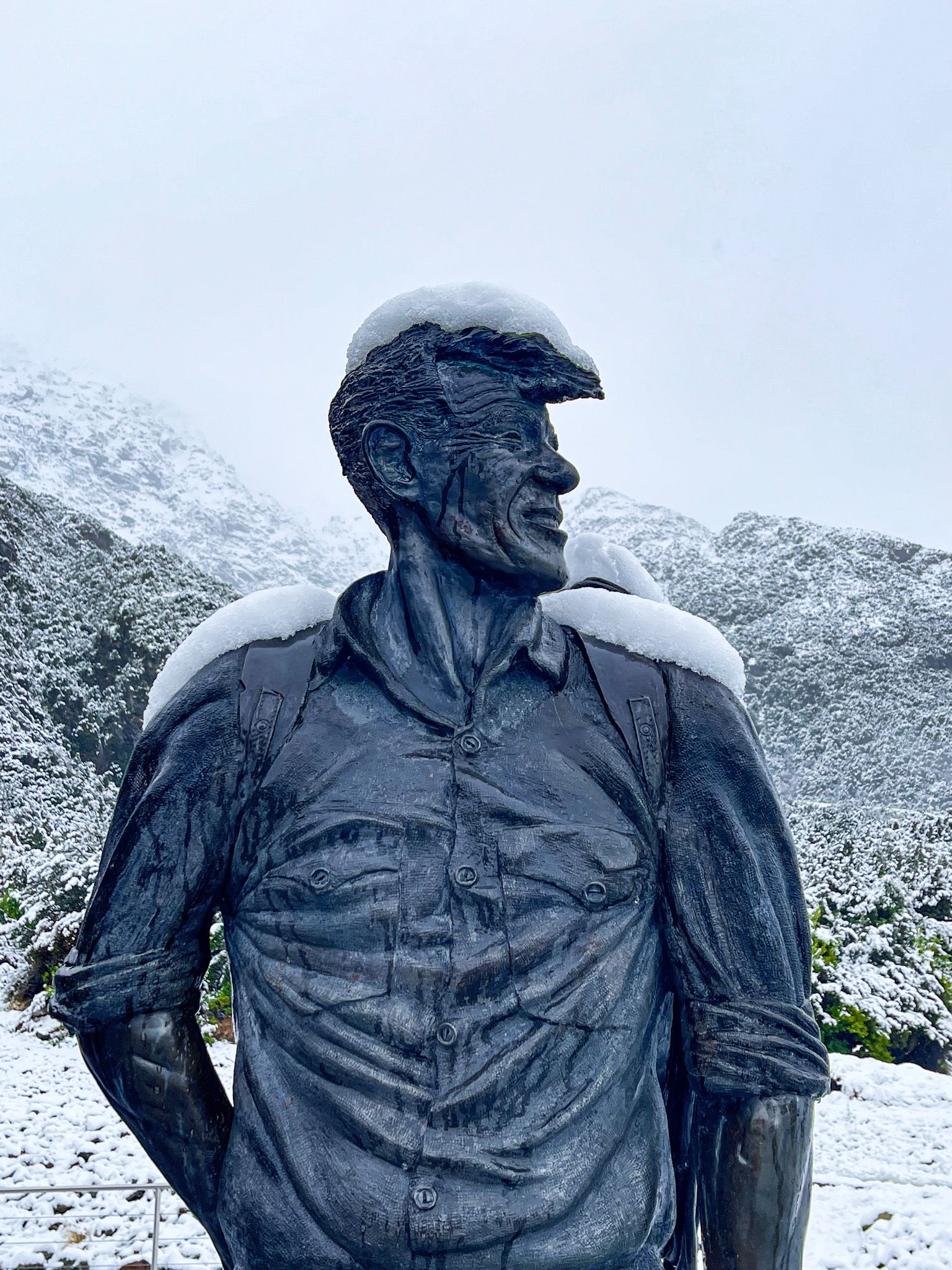
- Premium: The Hermitage Hotel (houses Sir Edmund Hillary Alpine Centre and Museum)
Getting There
- From Christchurch: 4.5 hours (330 km) via SH1, SH79 through Geraldine to Fairlie, then SH8 to Lake Pukaki
- From Queenstown: 3.5 hours (362 km)
- From Dunedin: 4 hours (316 km)
Before You Go
- Check current track conditions at the DOC Visitor Centre in Mt Cook Village
- Longer alpine walks require preparation even in summer
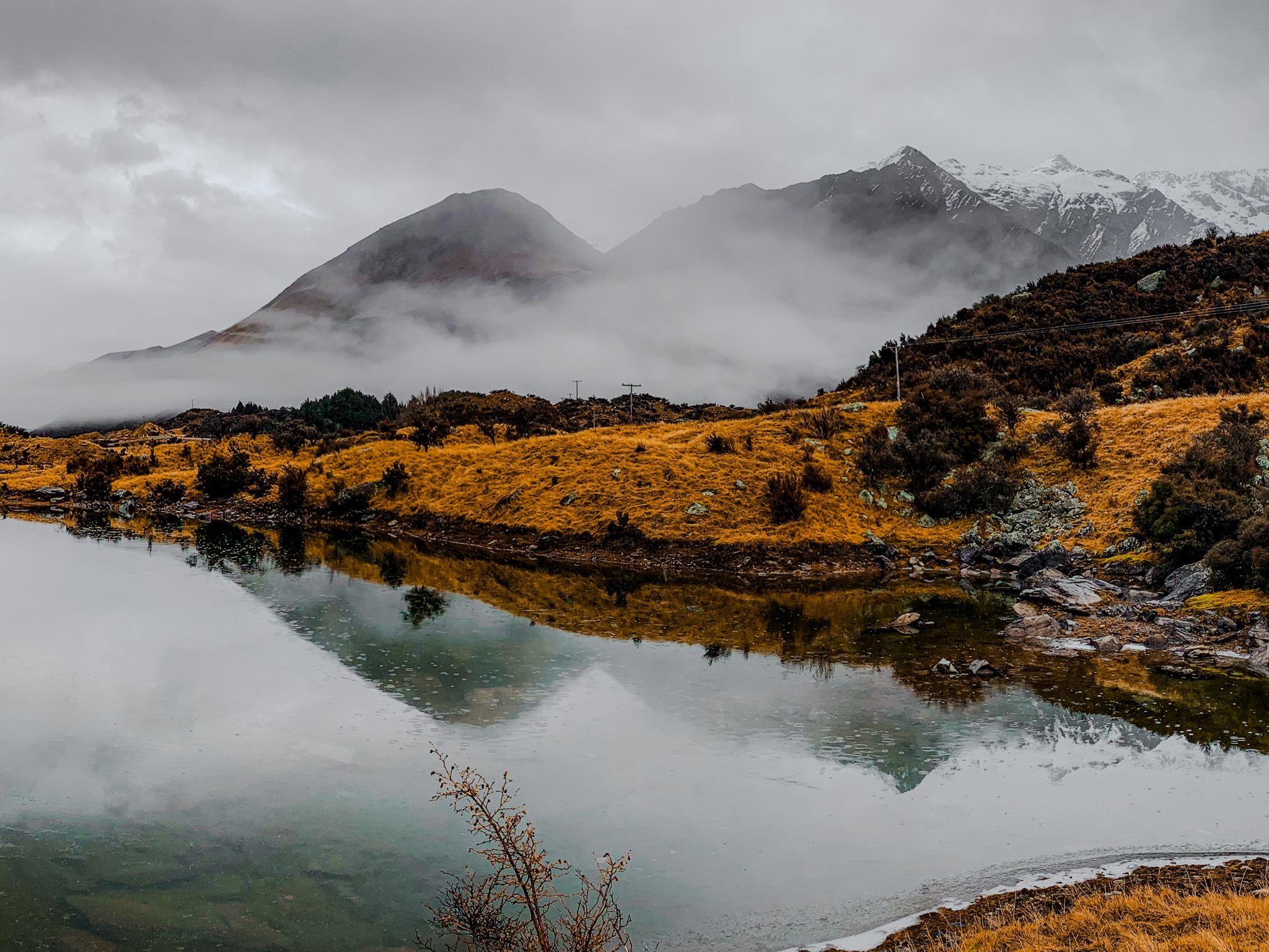
- The weather can change rapidly in the mountains
- Carry warm layers and rain gear