
Beaches, Bays, and a Hidden Coastal Adventure
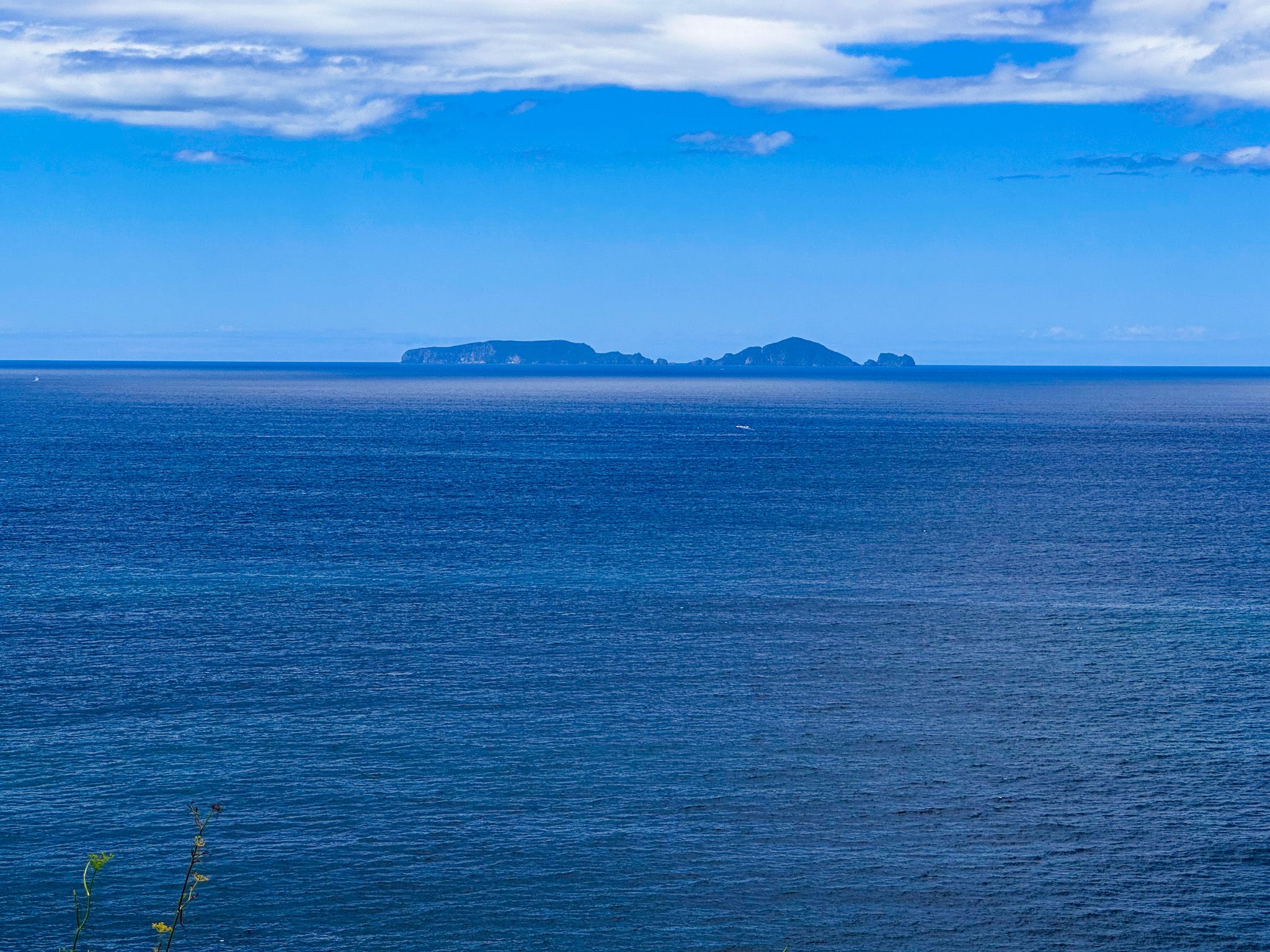
The Tutukākā Coast sits just 30 kilometres northeast of Whangārei and is rated by National Geographic Traveller as one of the top coastal destinations in the world. That recognition is well deserved. Rocky headlands give way to sheltered harbour bays, white-sand beaches stretch under pohutukawa canopy, and the Poor Knights Islands rise from the sea offshore, home to one of the world's finest marine reserves. But the coast has another side that most visitors miss entirely: a low-tide coastal walk between Whangaumu Bay and Kauakarangi that threads through cliff and forest lined with unnamed golden-sand coves, and through knee-deep water to reach a photogenic sandspit that barely appears on maps. It is, for the right conditions and the right kind of traveller, the best thing on the coast.

Whangaumu Bay
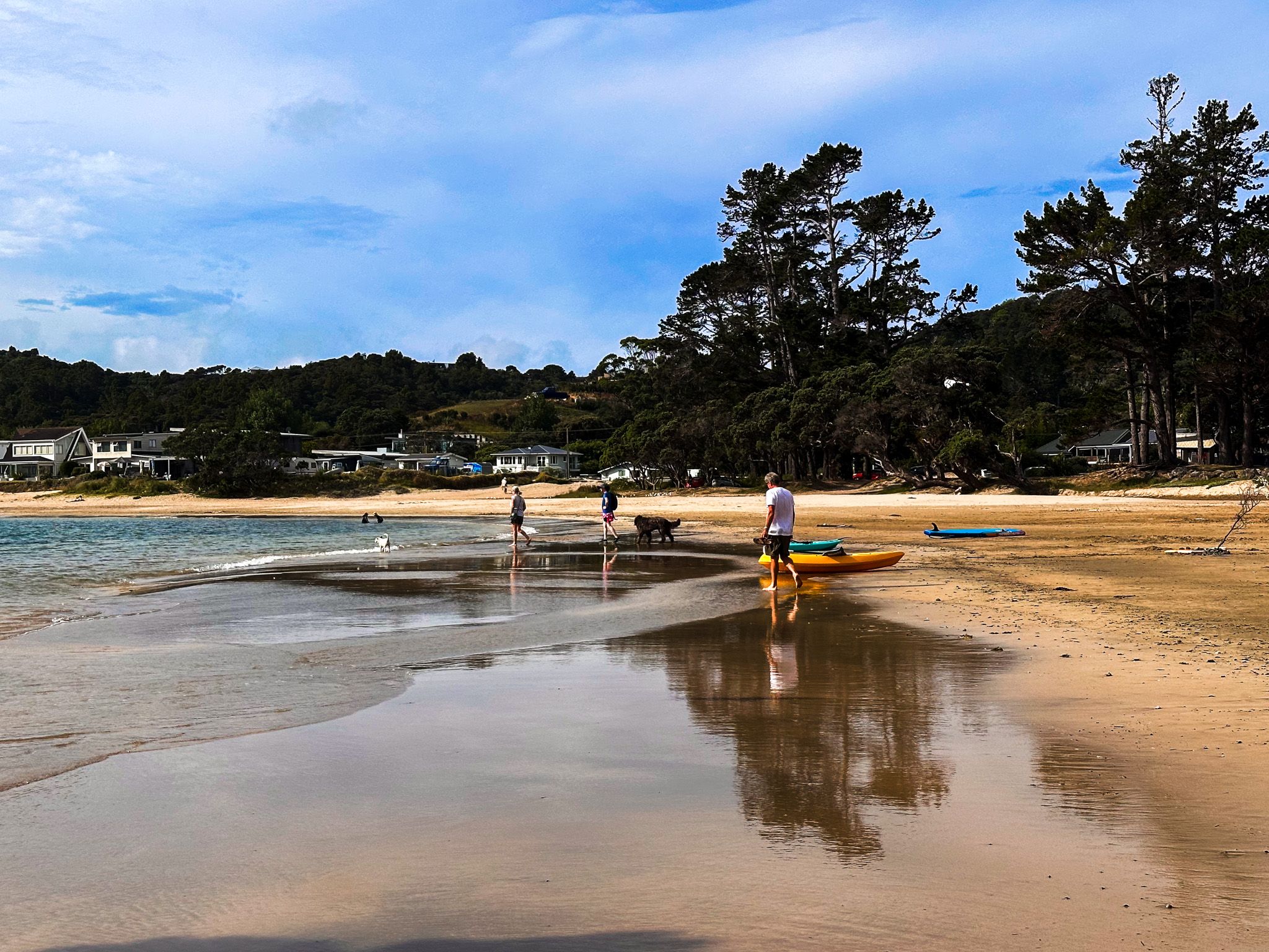
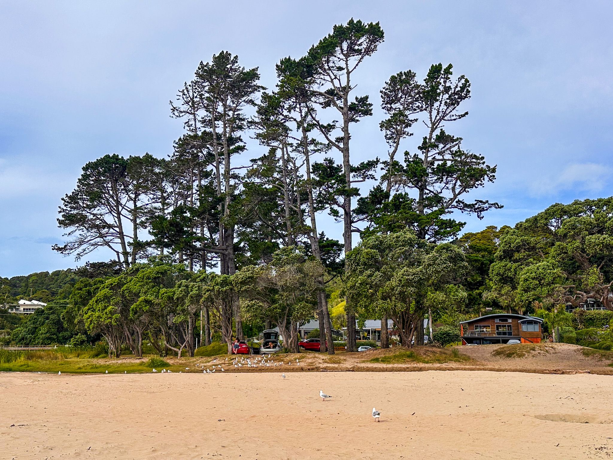
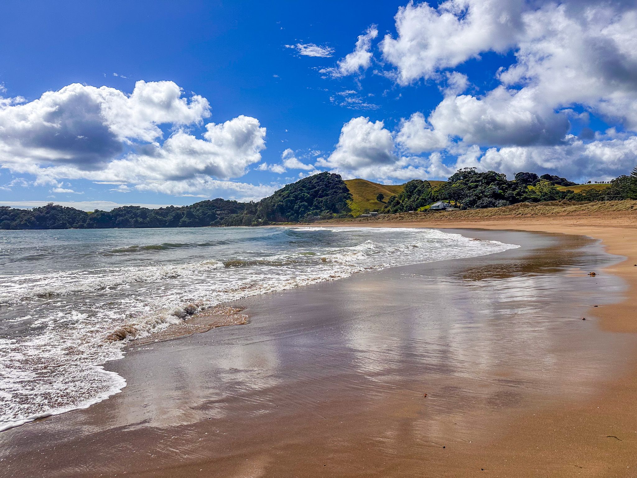
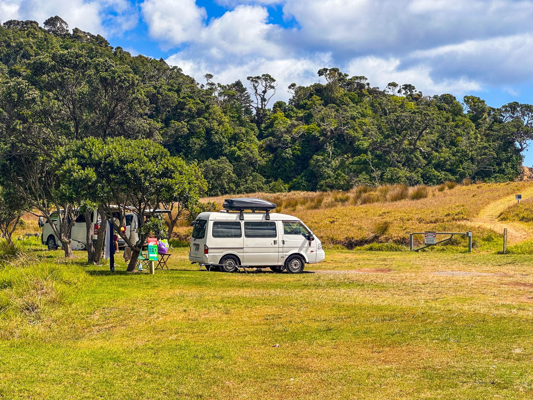
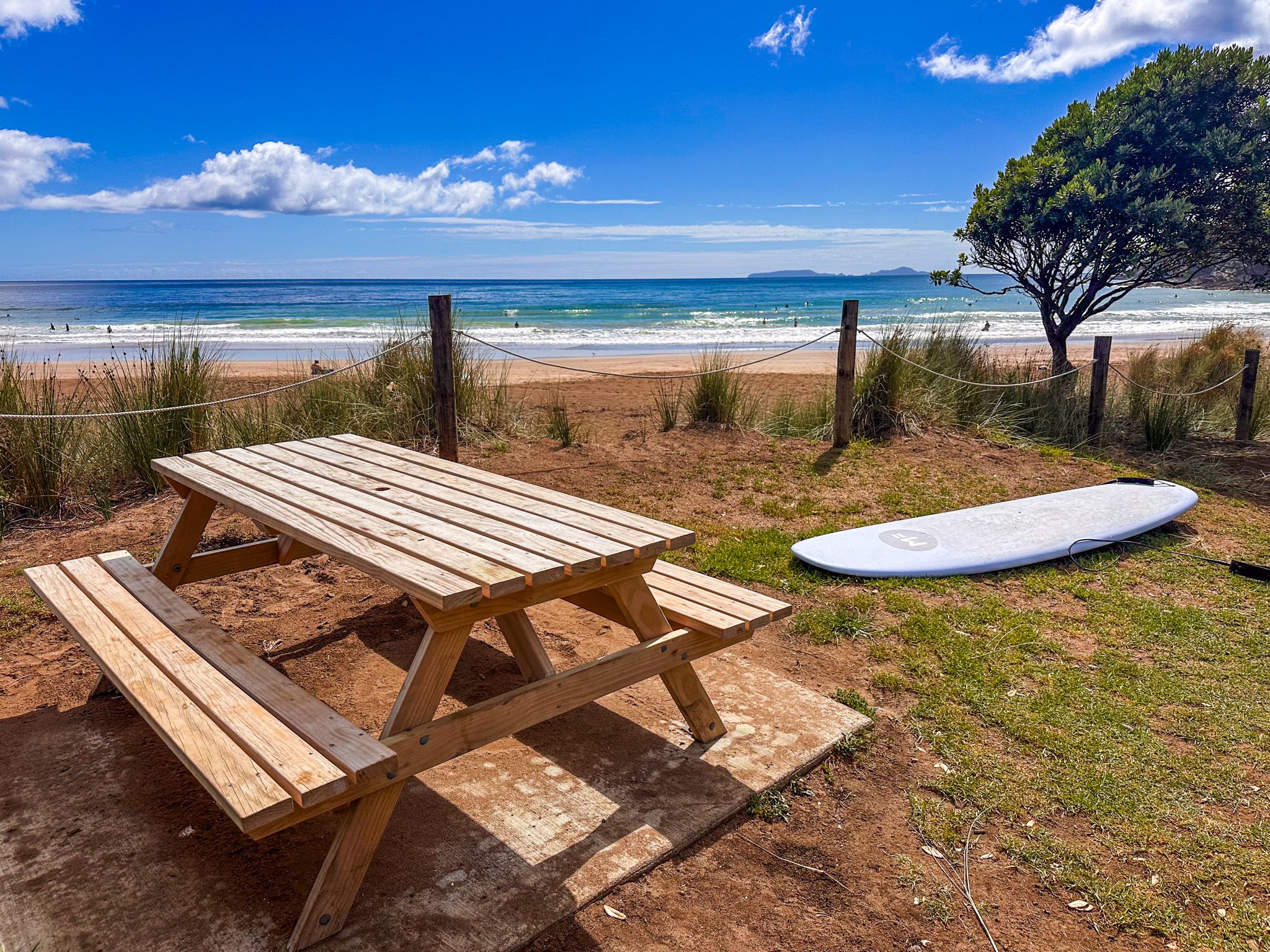
Whangaumu Bay, also widely known as Wellington's Bay after an early European landowner, sits at the eastern end of Tutukākā Block Road, a short drive from the marina. It is a long, calm crescent of white sand, well sheltered from ocean swell, and one of the most family-friendly beaches on the coast. Pōhutukawa and large pine trees shade the reserve end of the bay; rock pools sit at the northern end. On clear days, the Hen and Chicken Islands are visible to the north. The water quality is monitored during summer, and the bay is ideal for swimming, kayaking, and paddleboarding. Freedom camping is available for self-contained vehicles, though the site closes to campers during the height of summer.
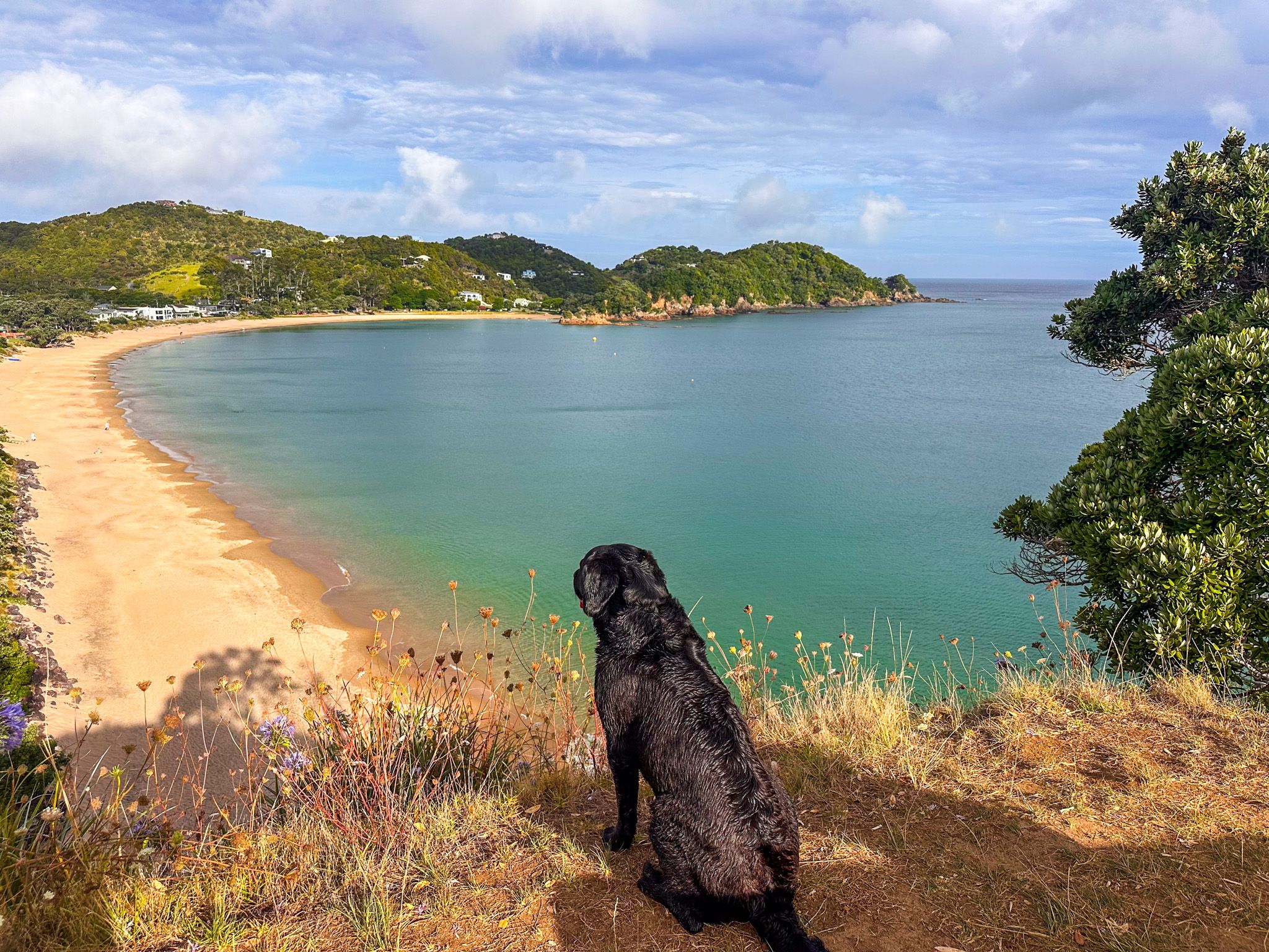
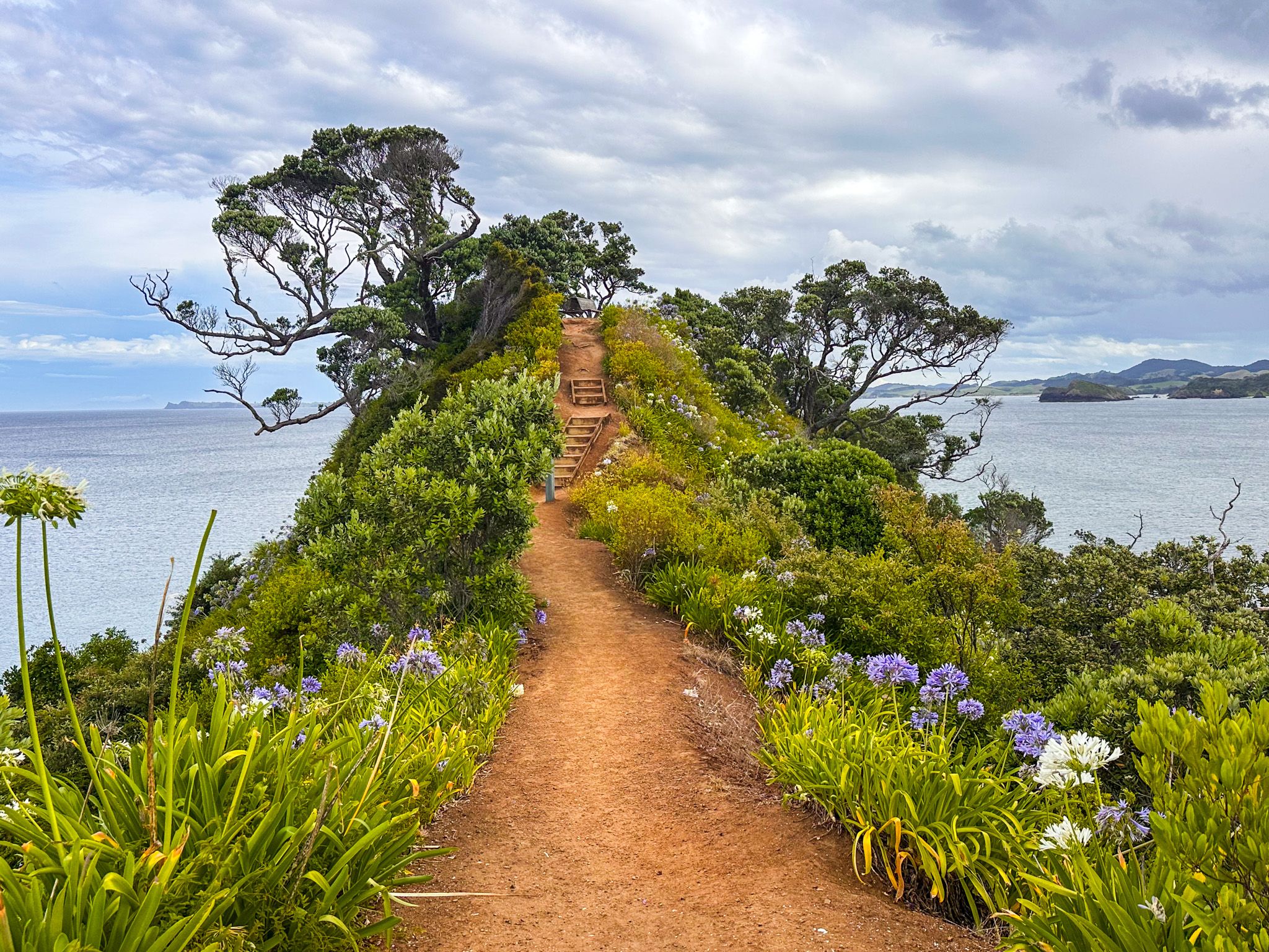
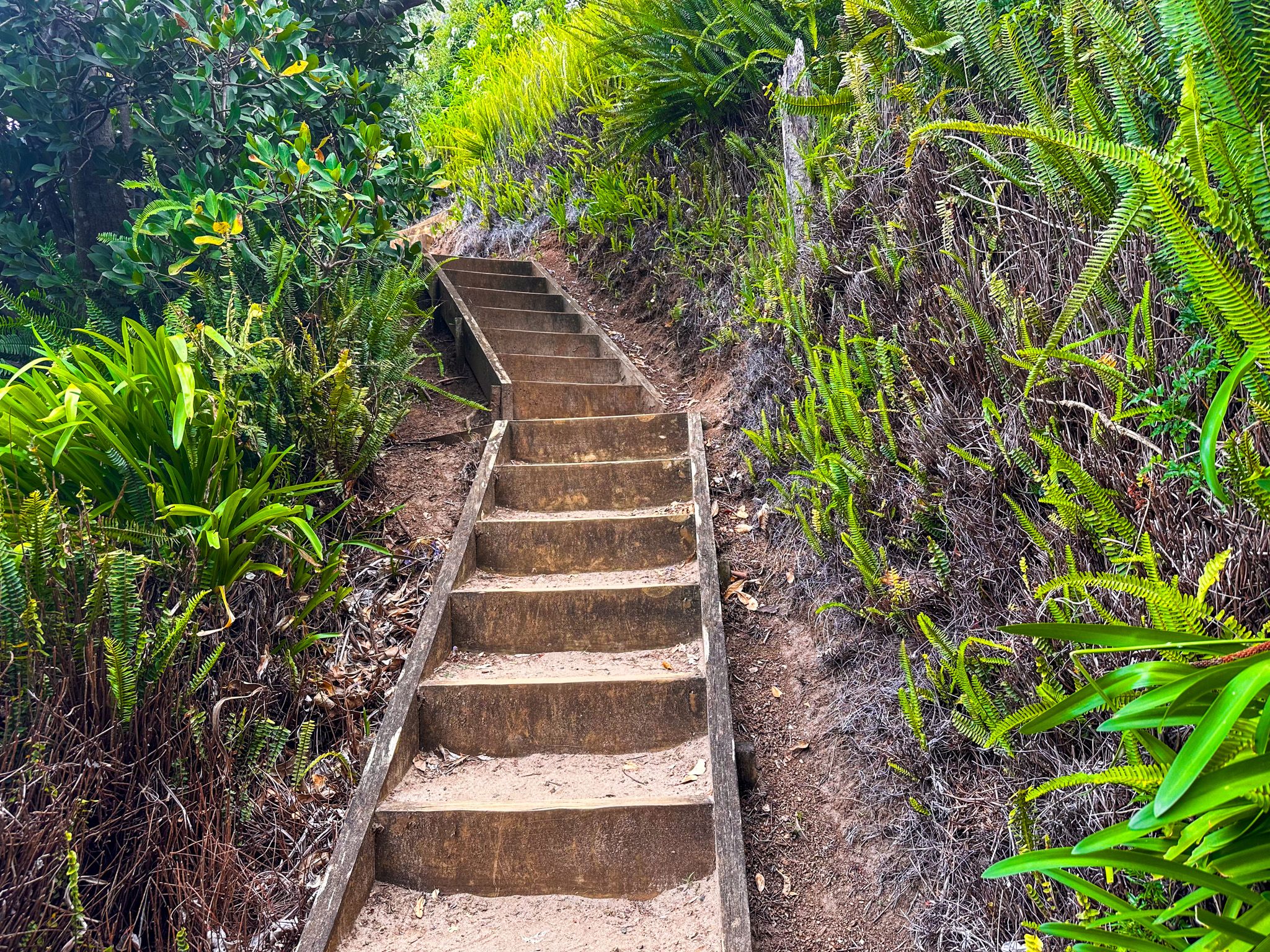
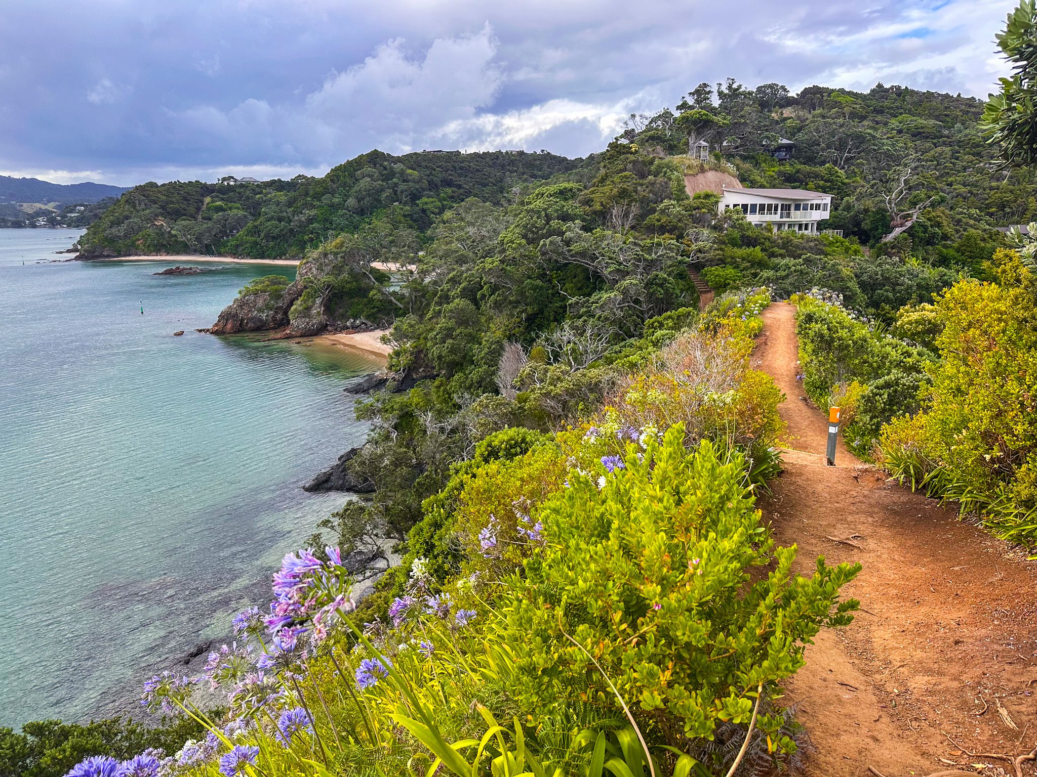
What makes Whangaumu Bay more than a pleasant stop is what starts at its eastern end: steep steps climbing the headland to a lookout with views across the bay, the Ngunguru sandspit, Goat Island, and south to Whangārei Heads. From there, a narrow ridge track drops into a different world entirely.
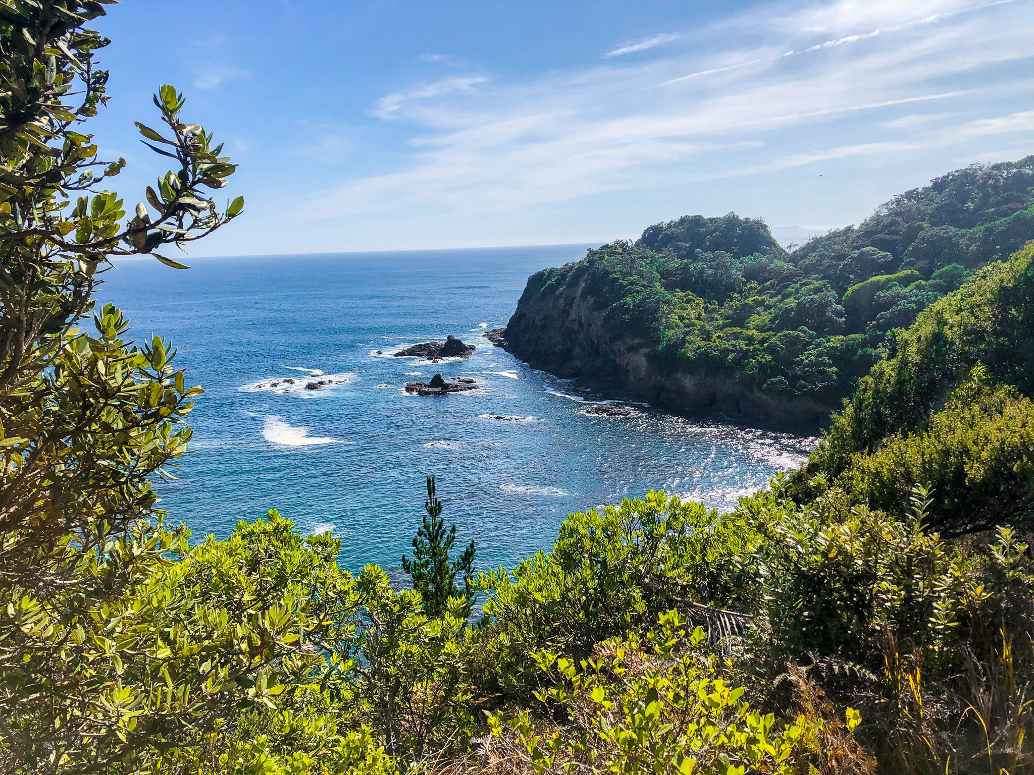
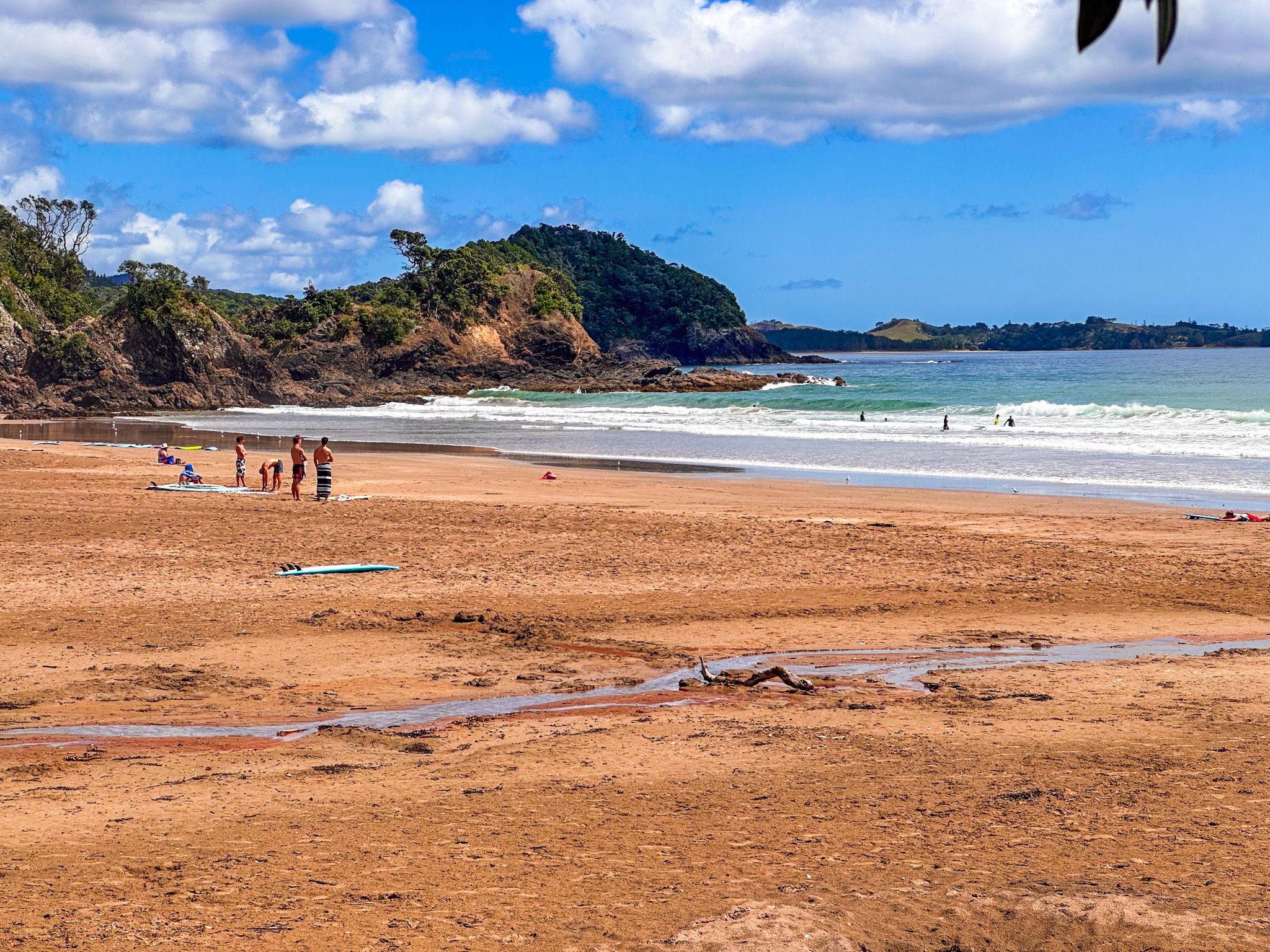
The Hidden Walk to Unnamed Bays and Coves
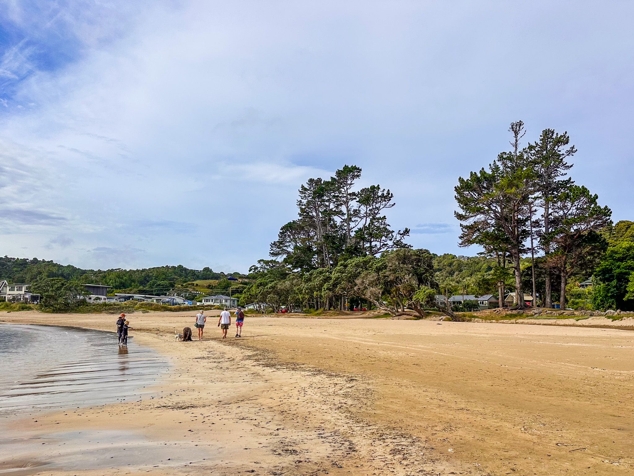
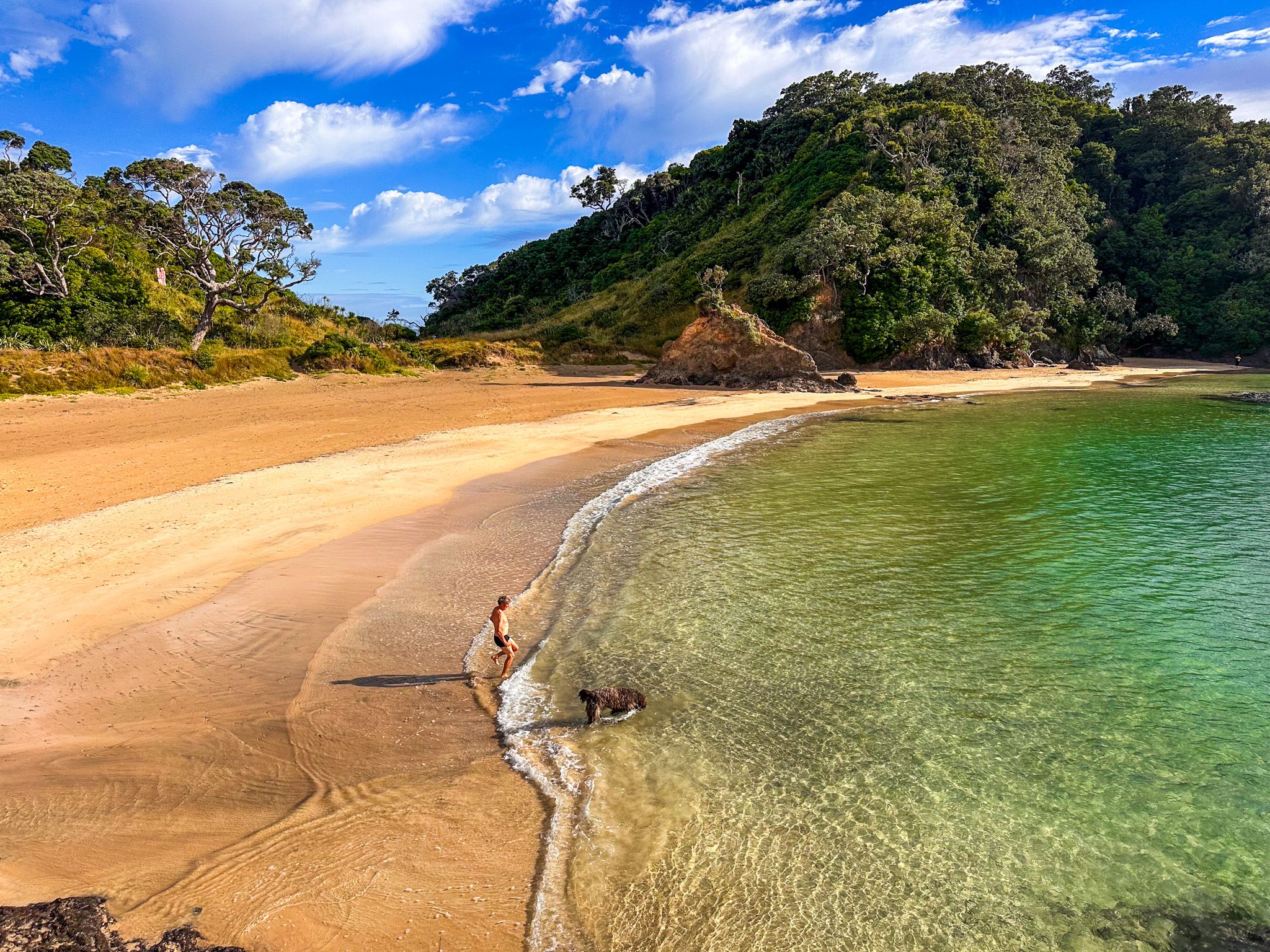
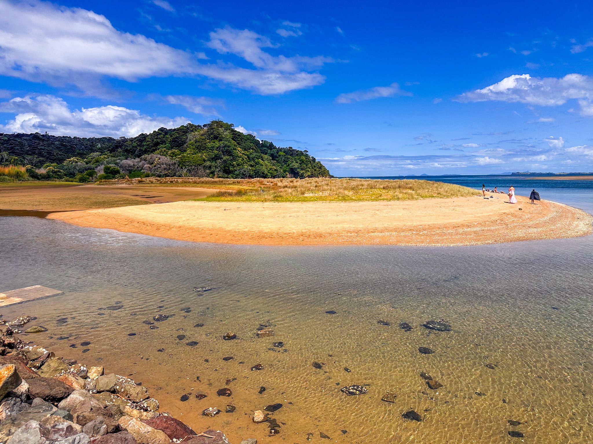
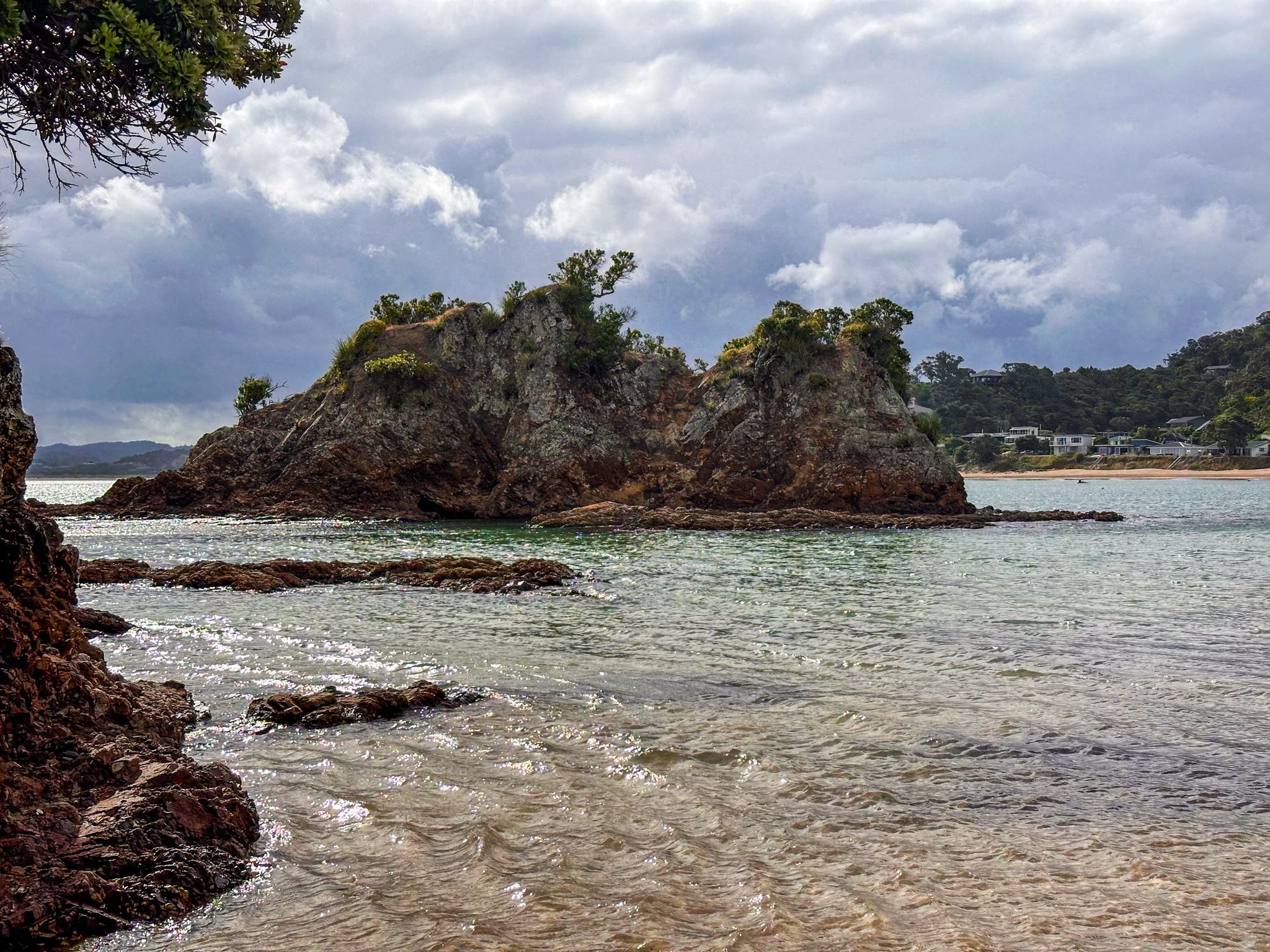
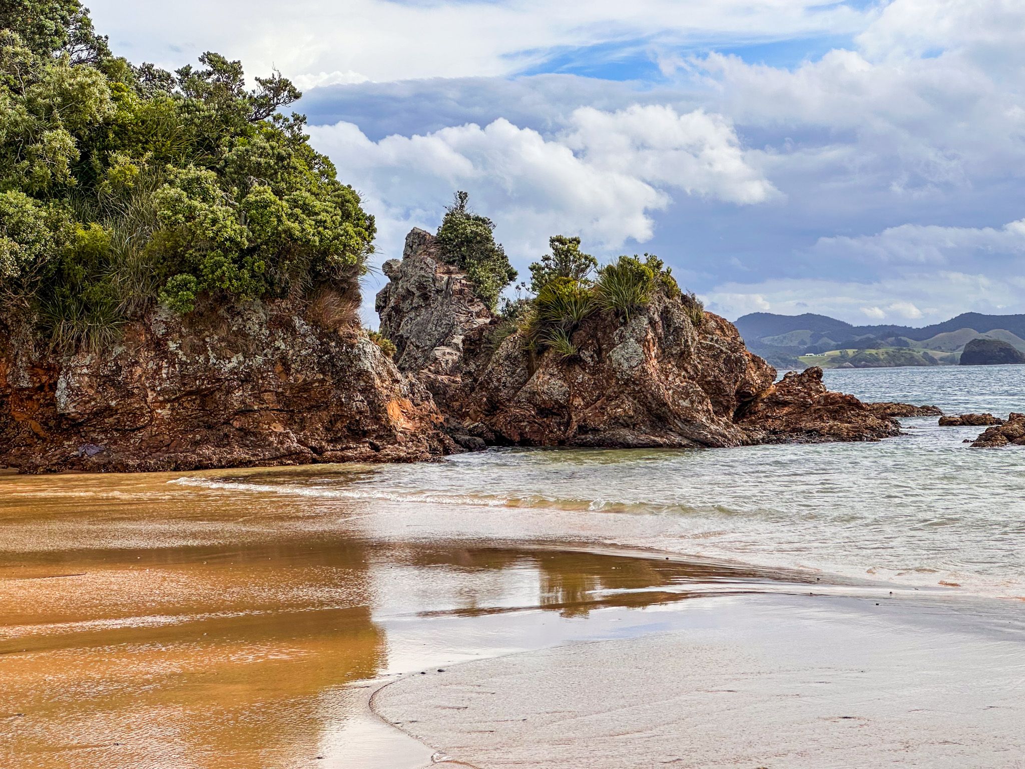
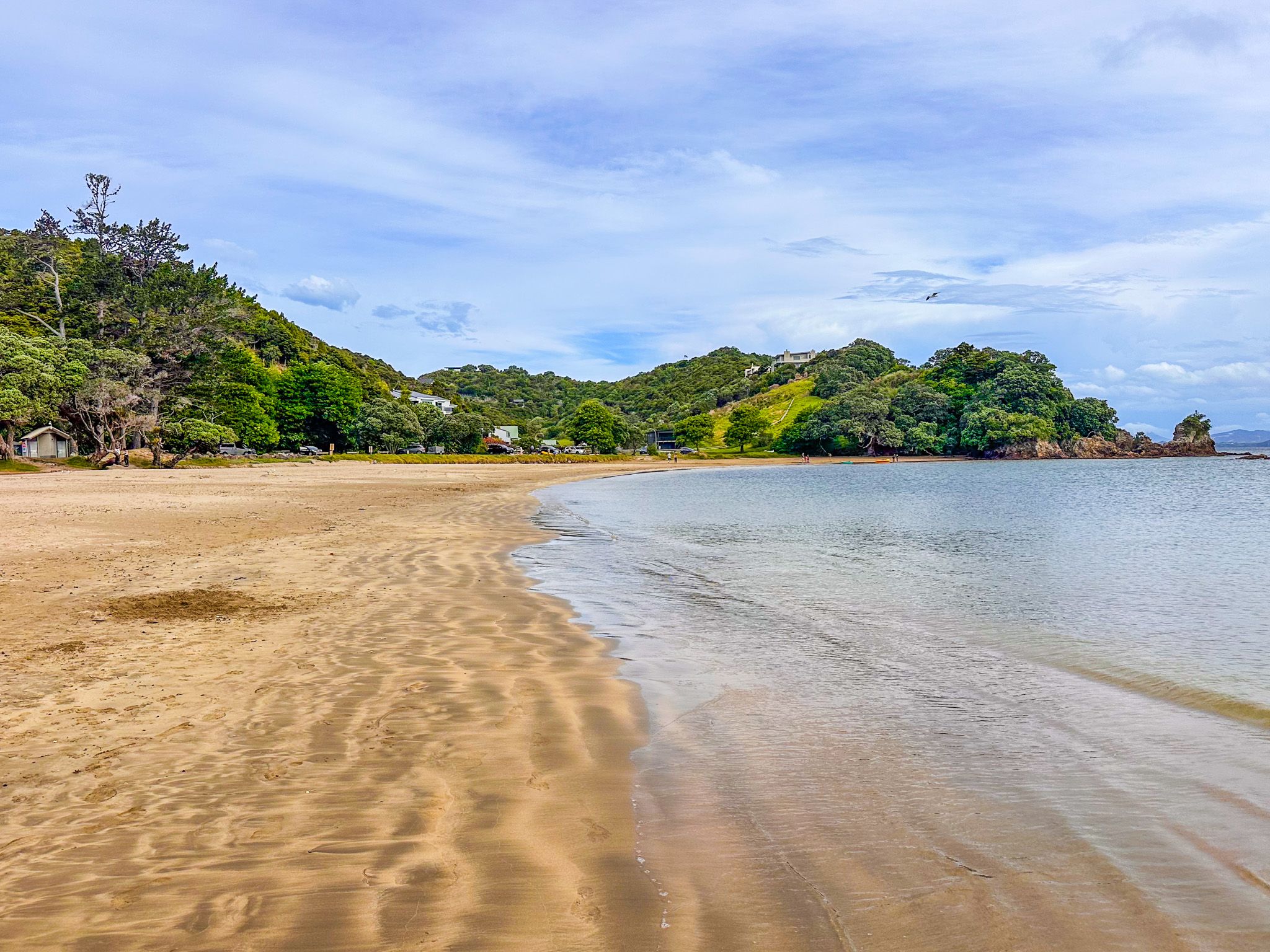
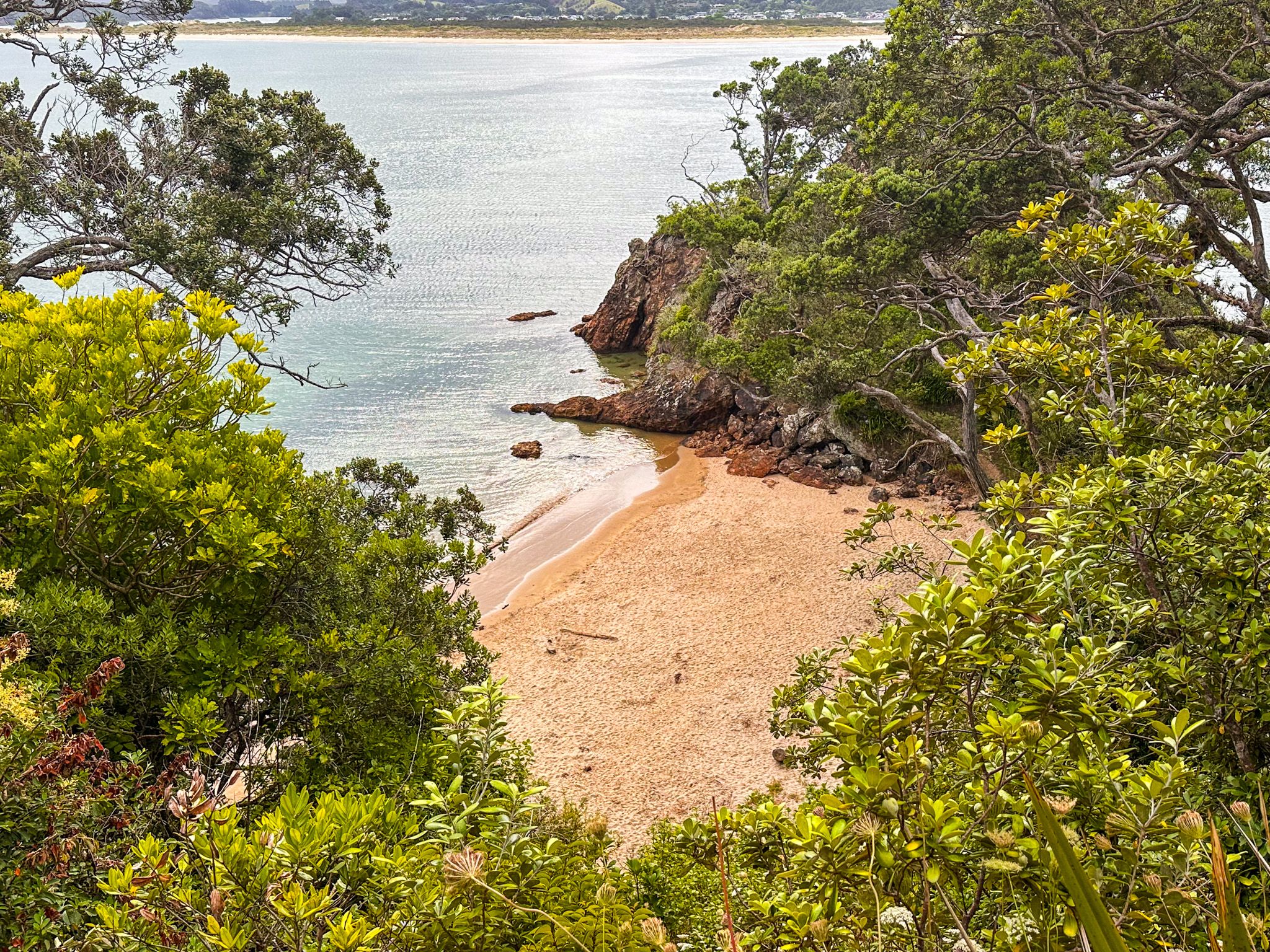
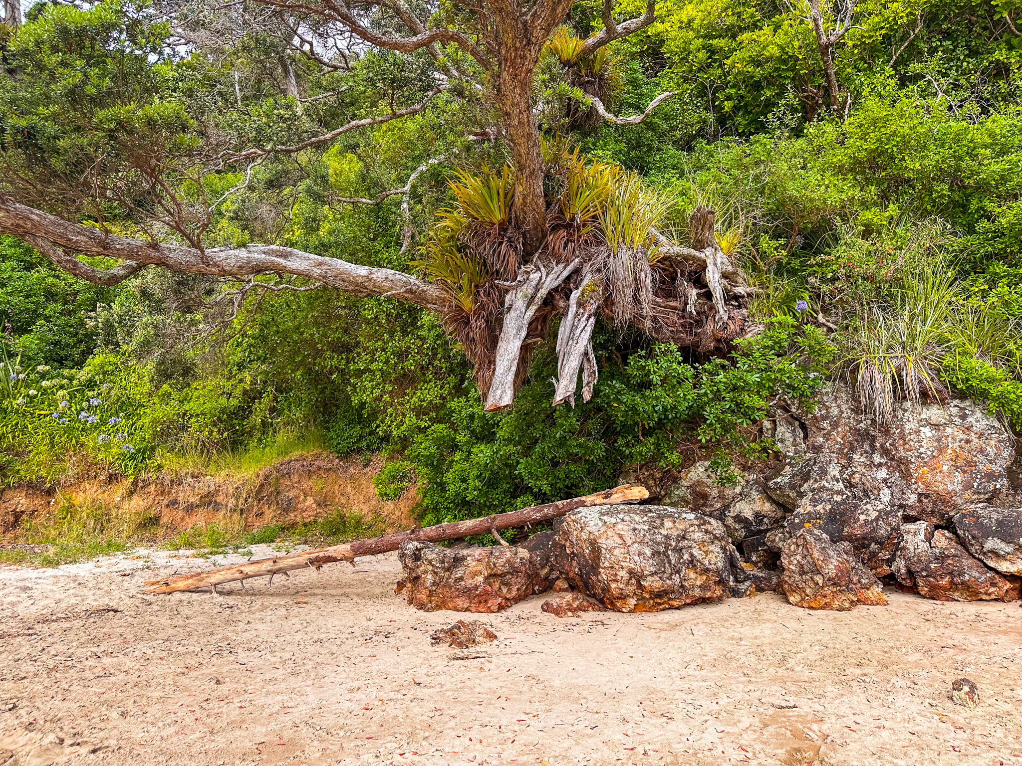
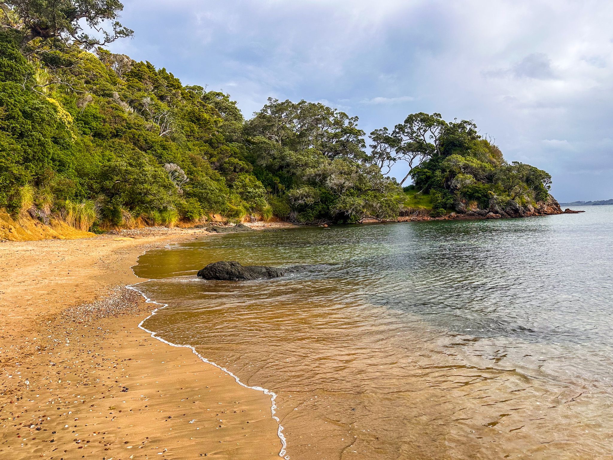
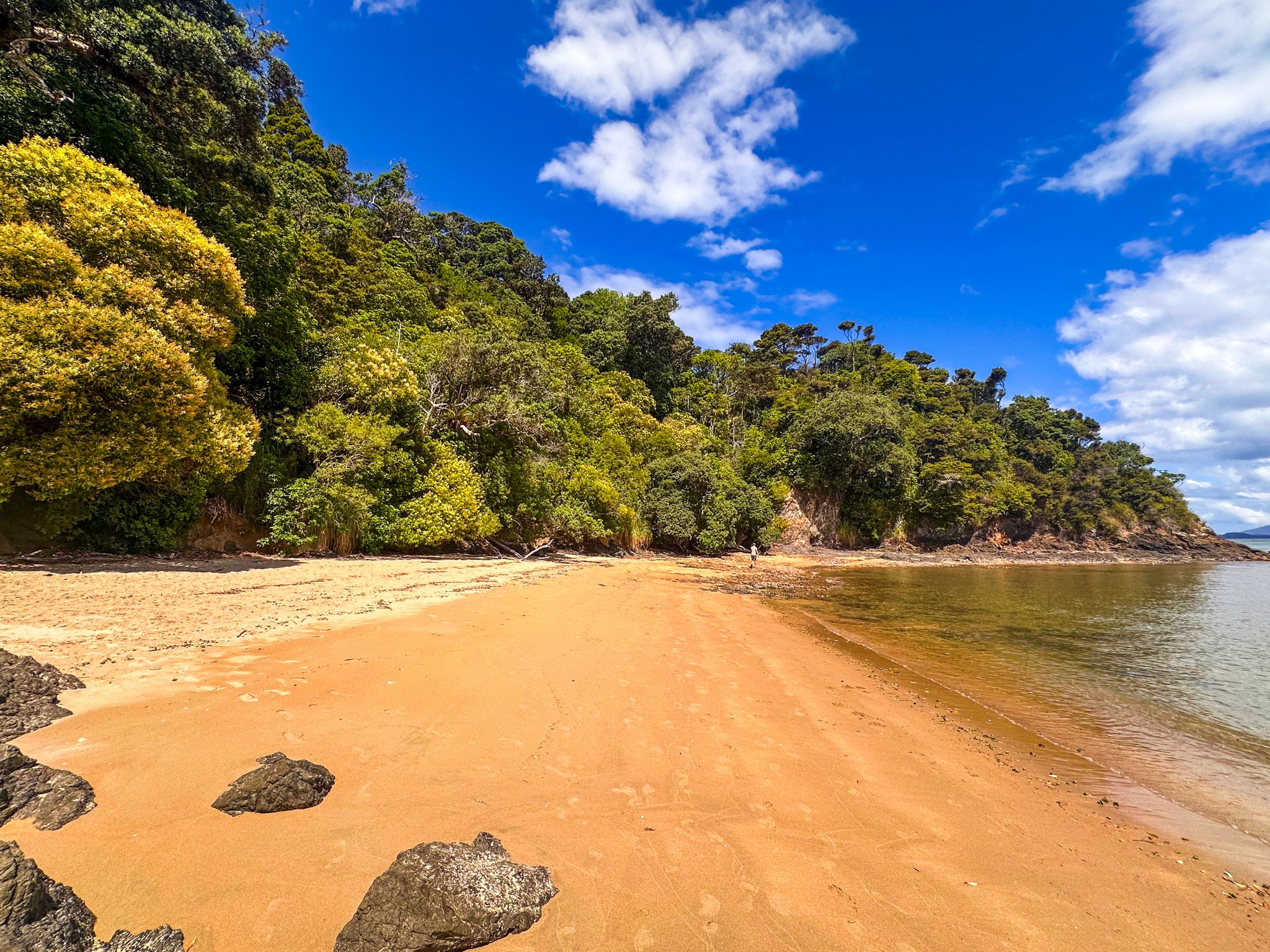
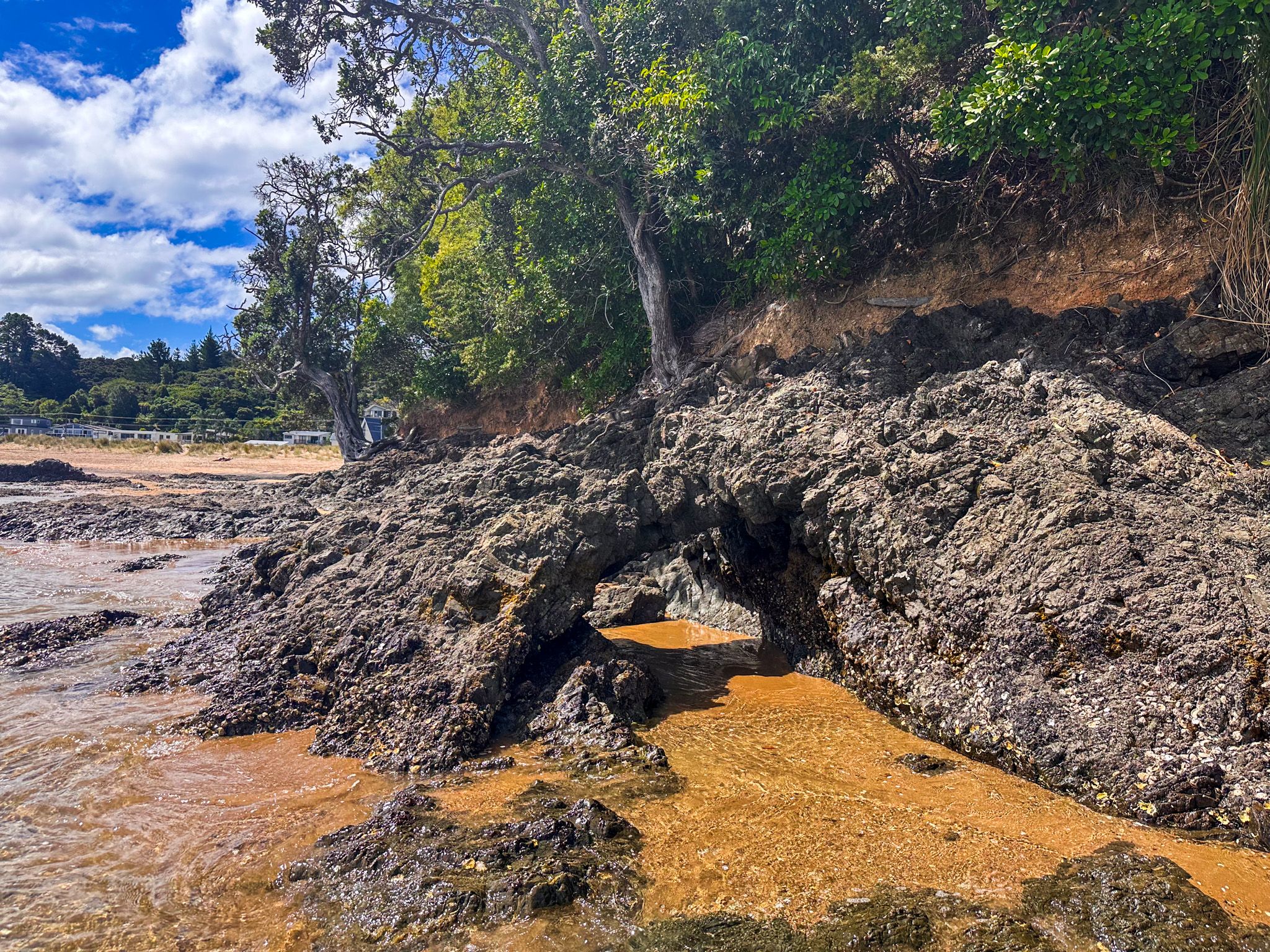
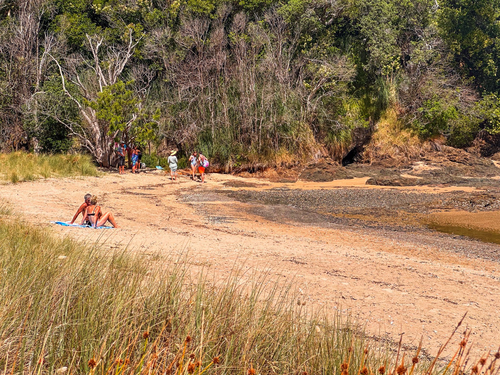
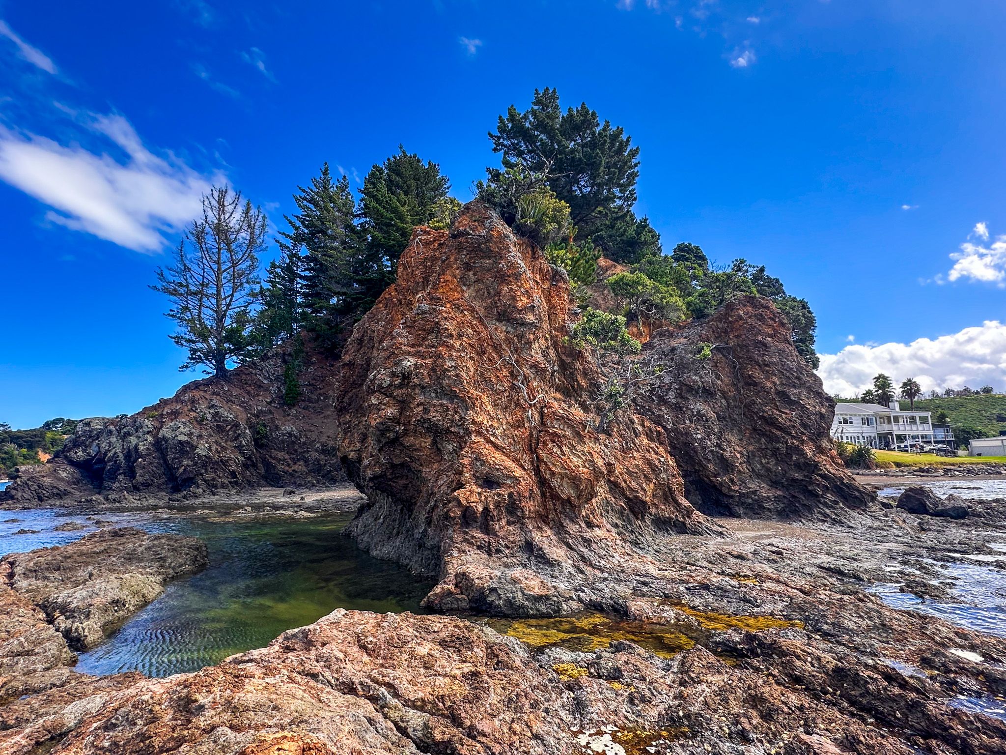
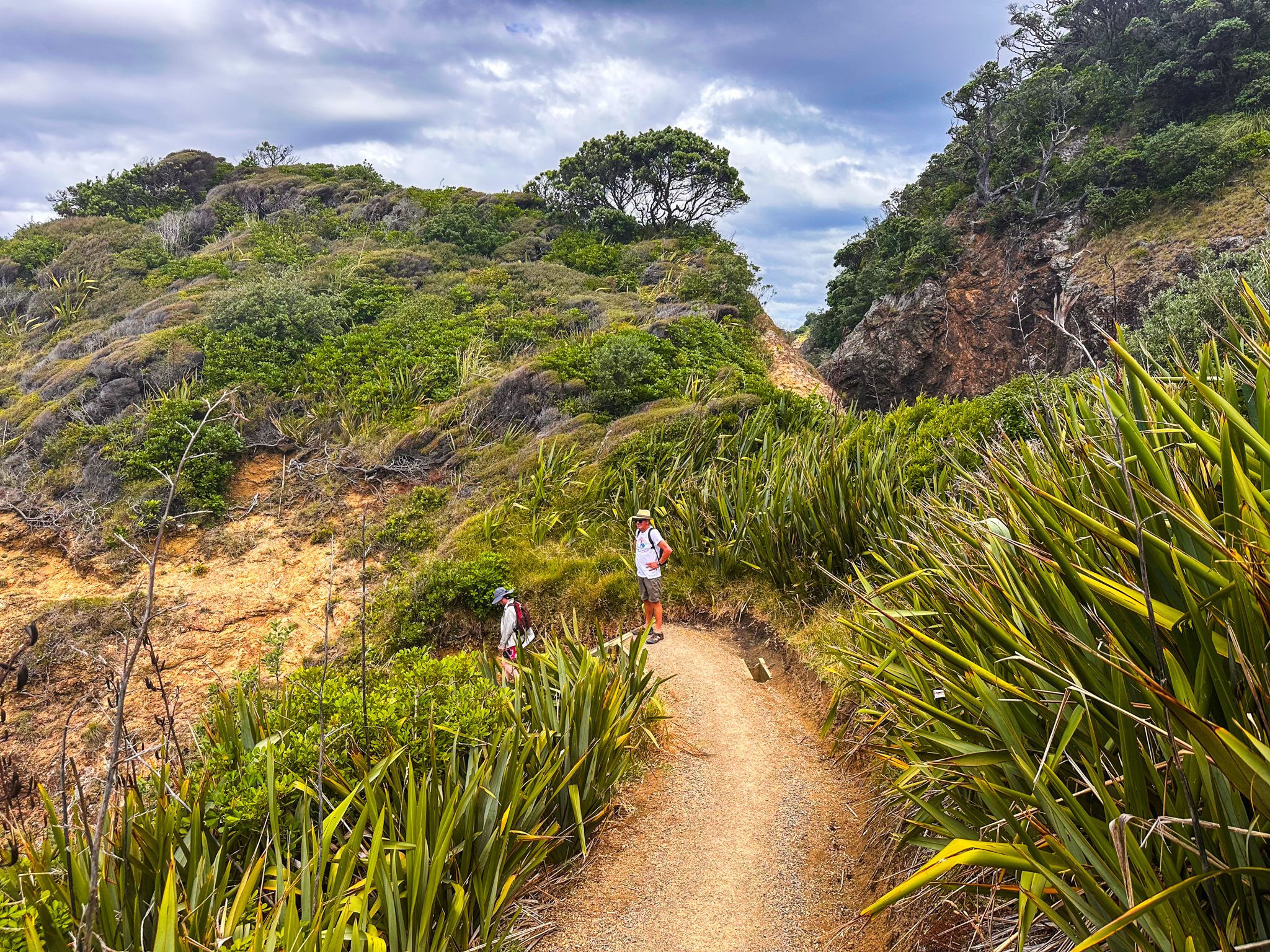
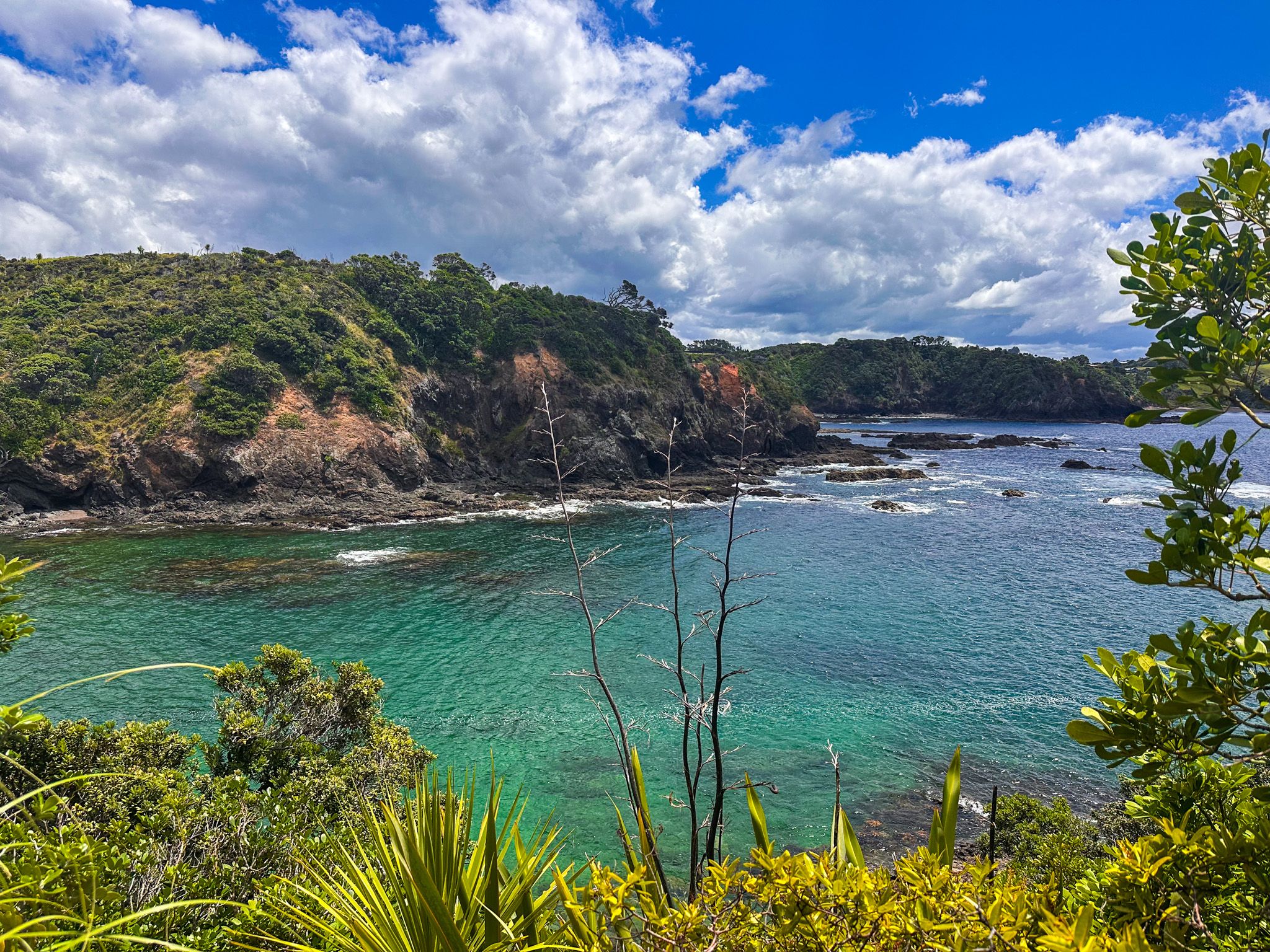
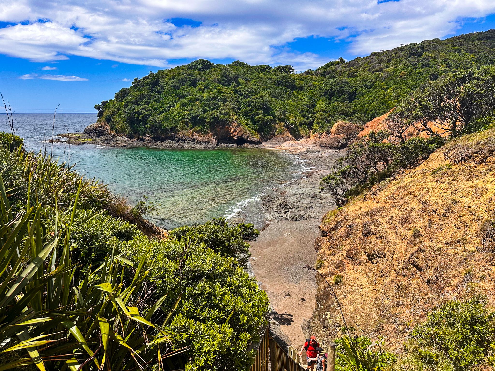
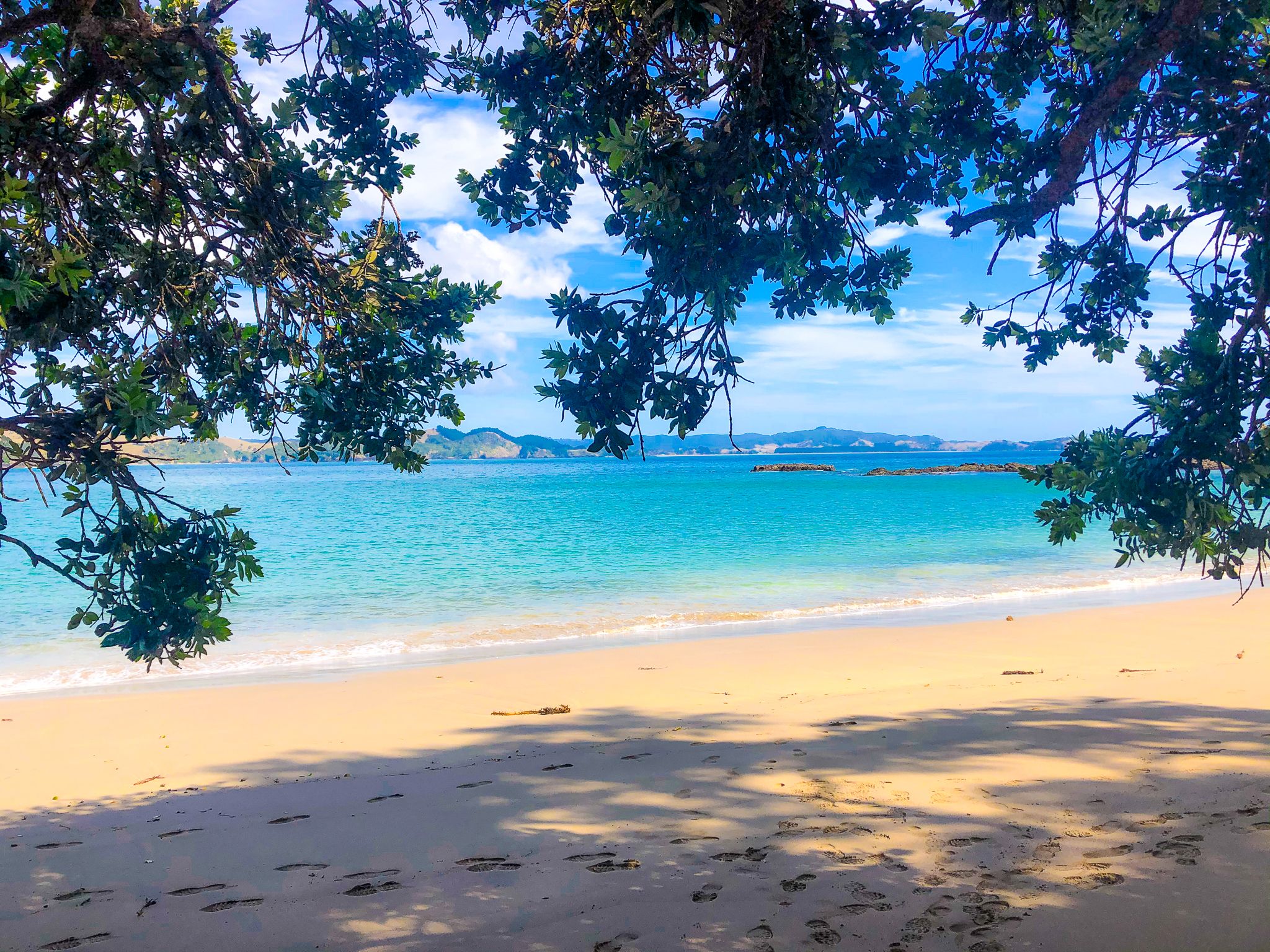
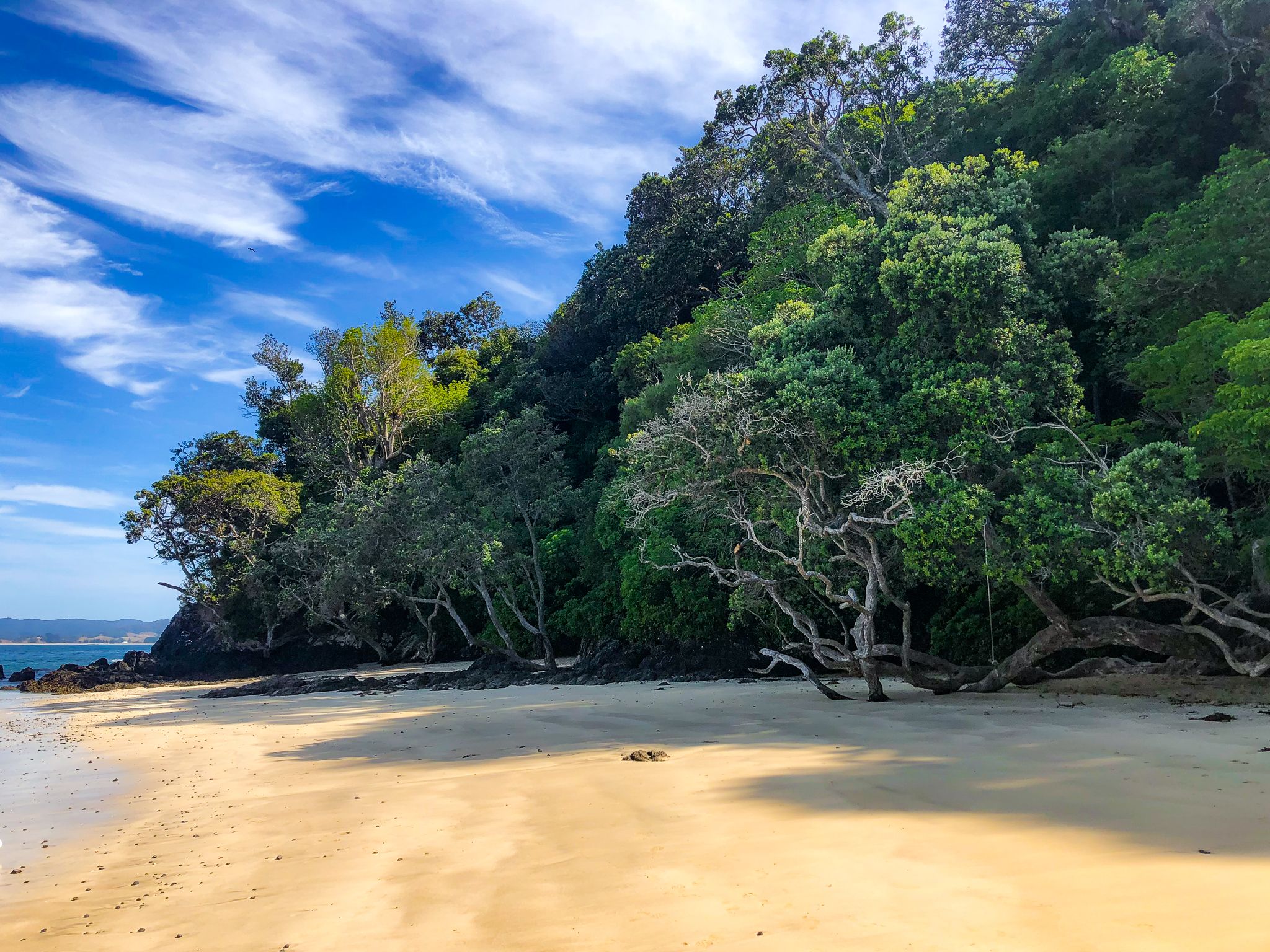
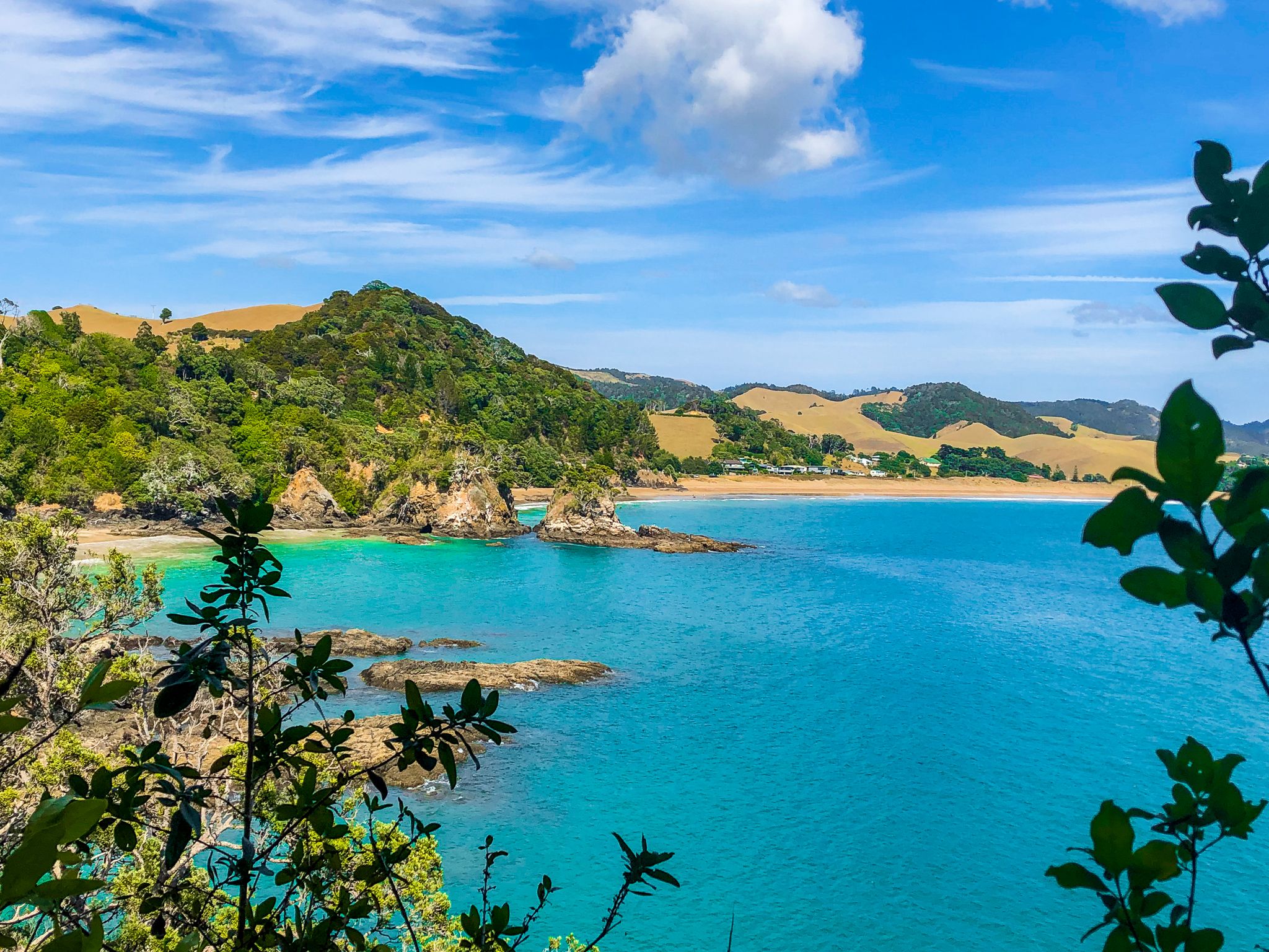
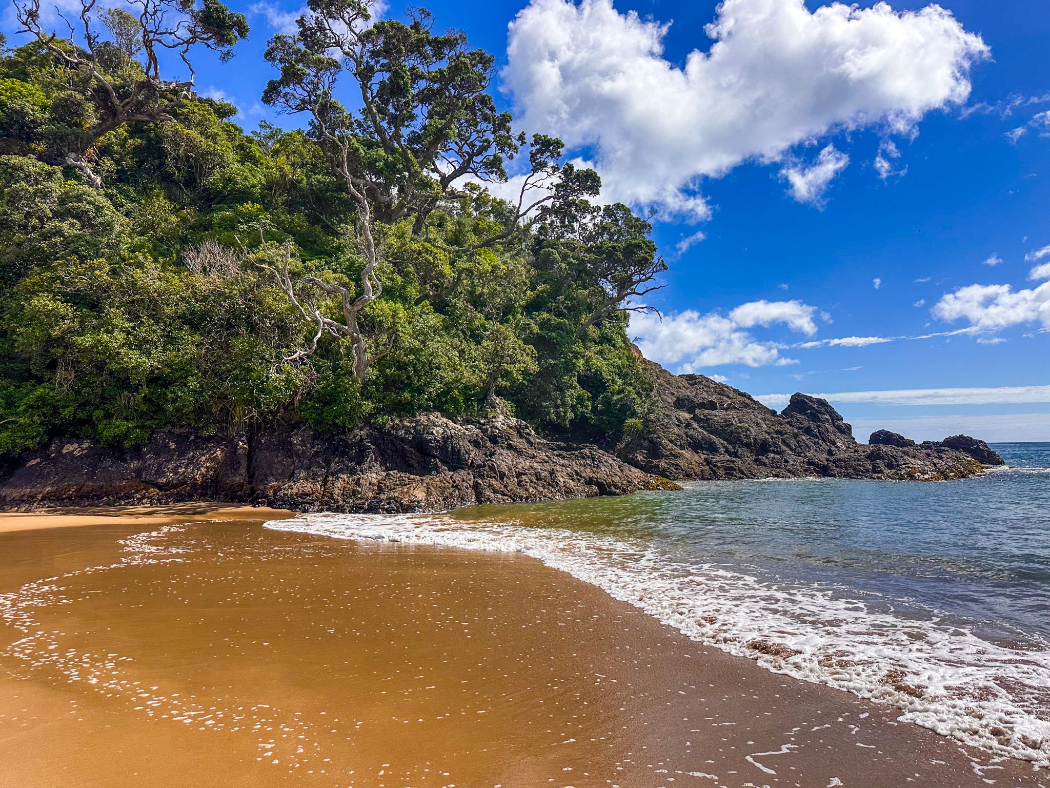
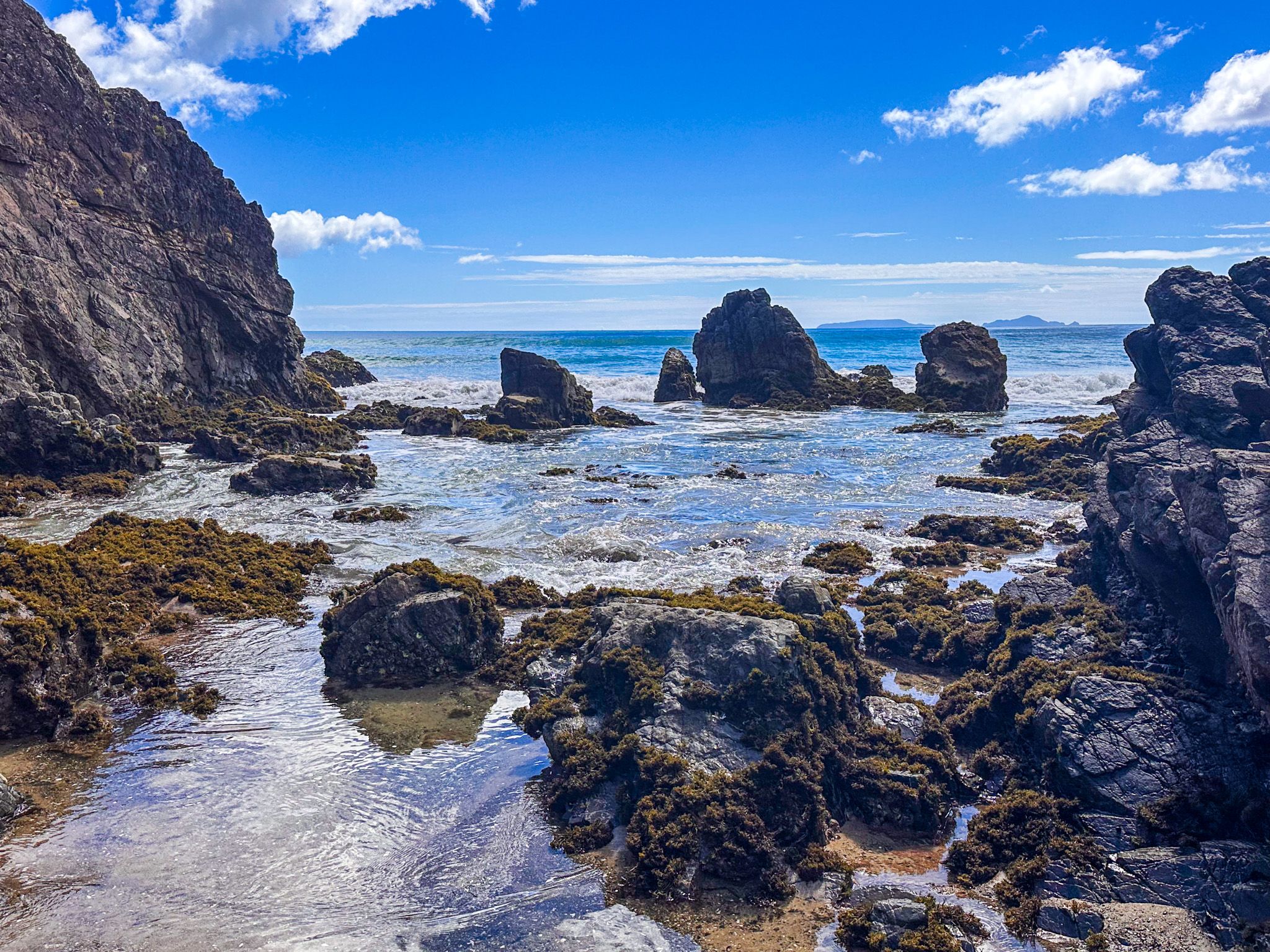
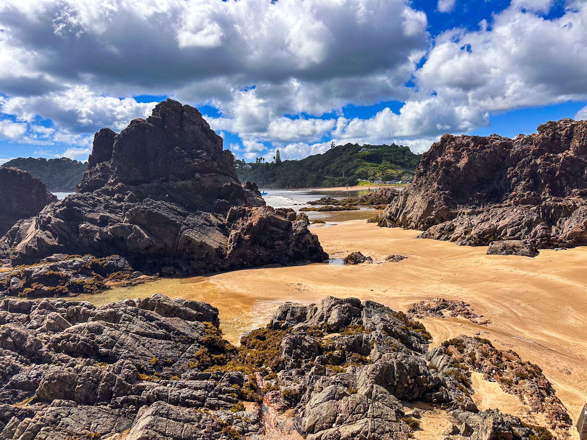
This is the part of the Tutukākā Coast that almost nobody knows about. From the Whangaumu Bay lookout, a narrow ridge track continues with steep drops on either side and wide views toward the west and southwest. It then descends through coastal forest to a small cove with a golden-sand beach. Continue a short distance further and a second, longer, unnamed bay opens up: around 400 metres of golden sand backed by bush, with the most basic road access and no facilities.
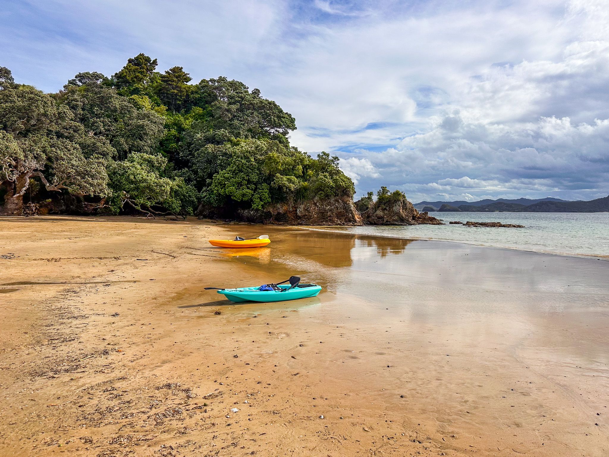
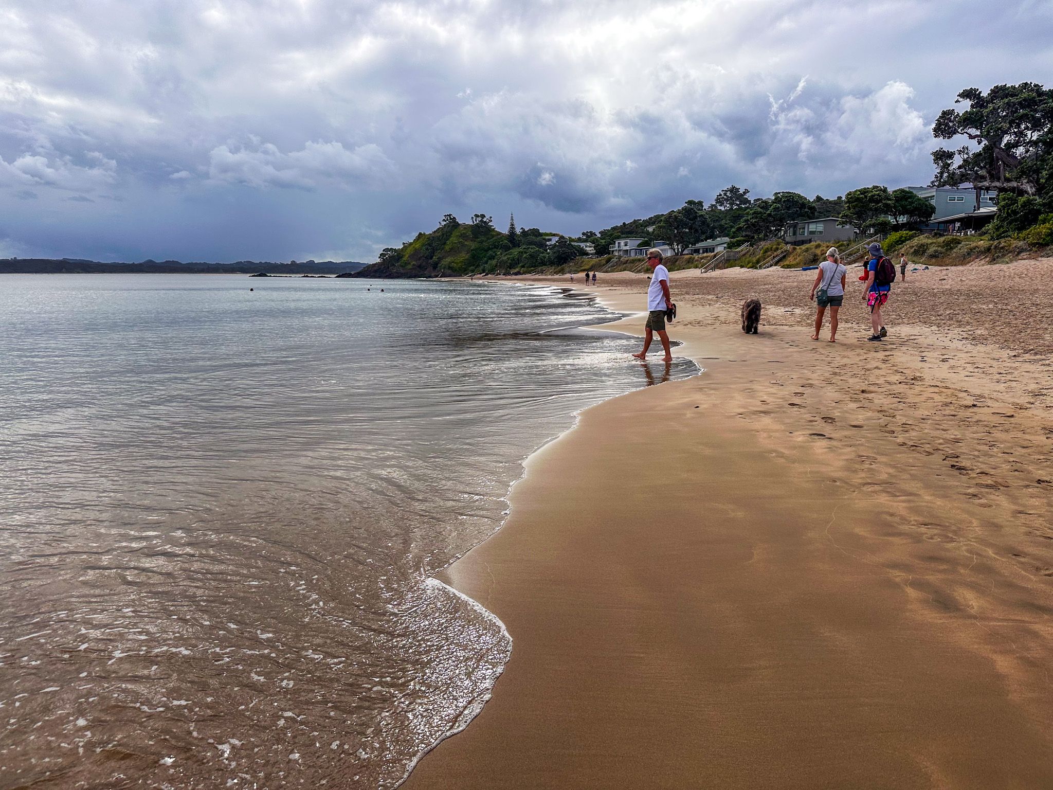
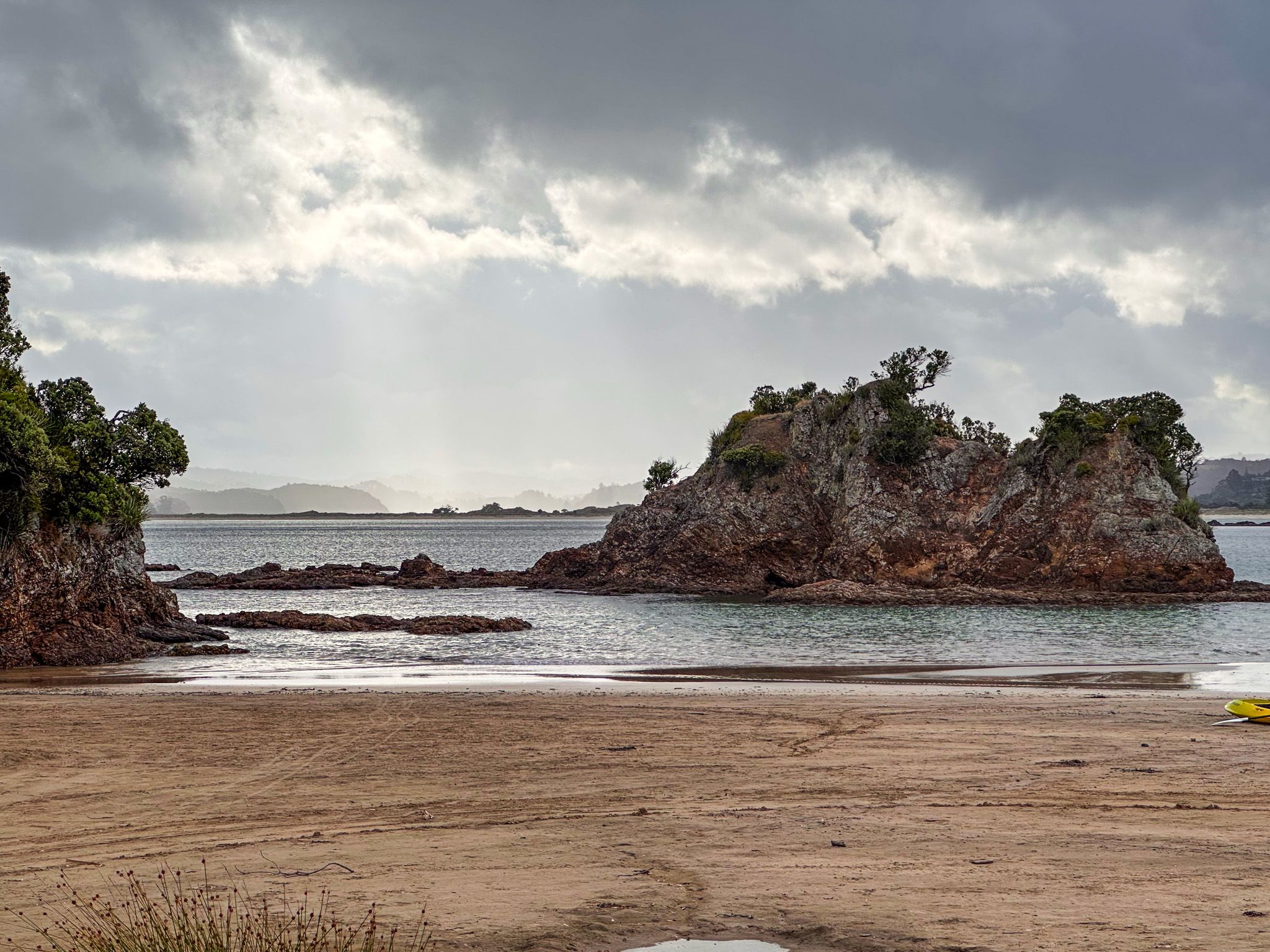
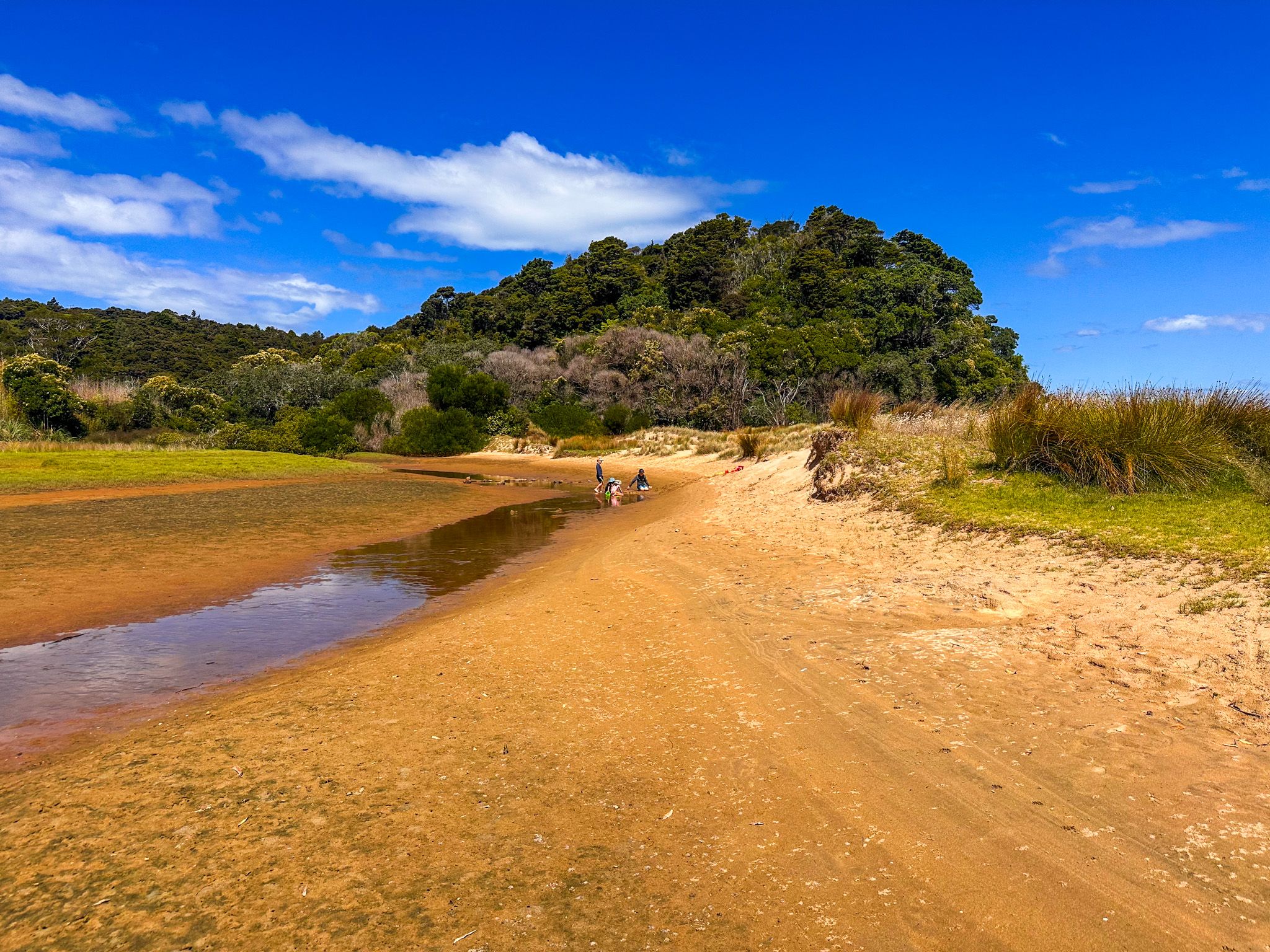
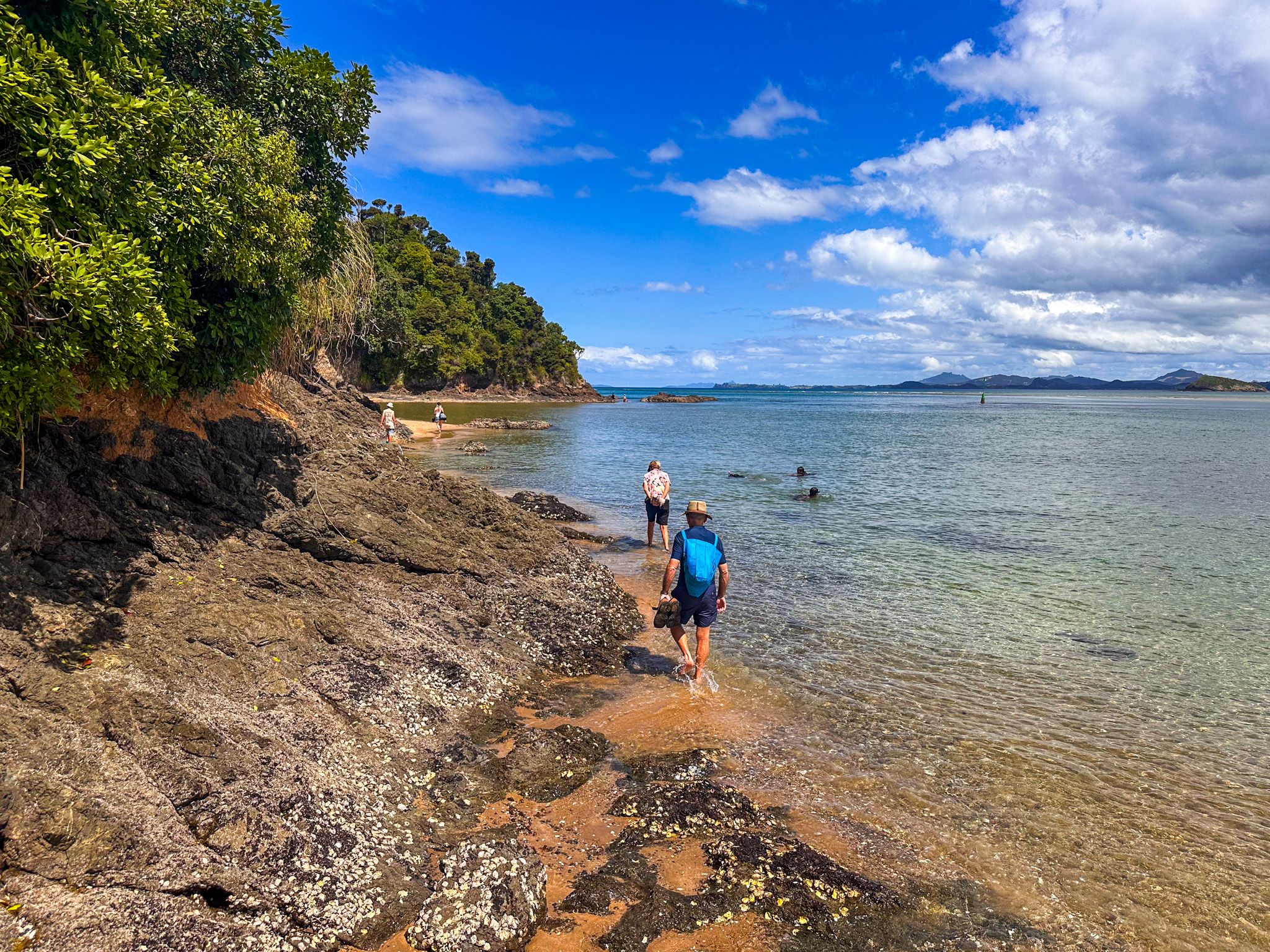
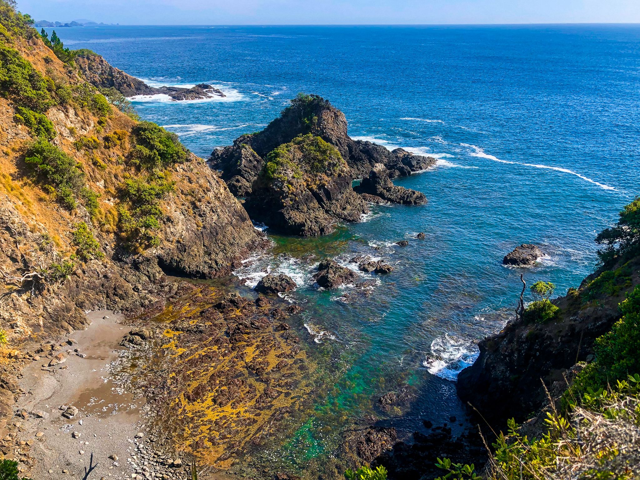
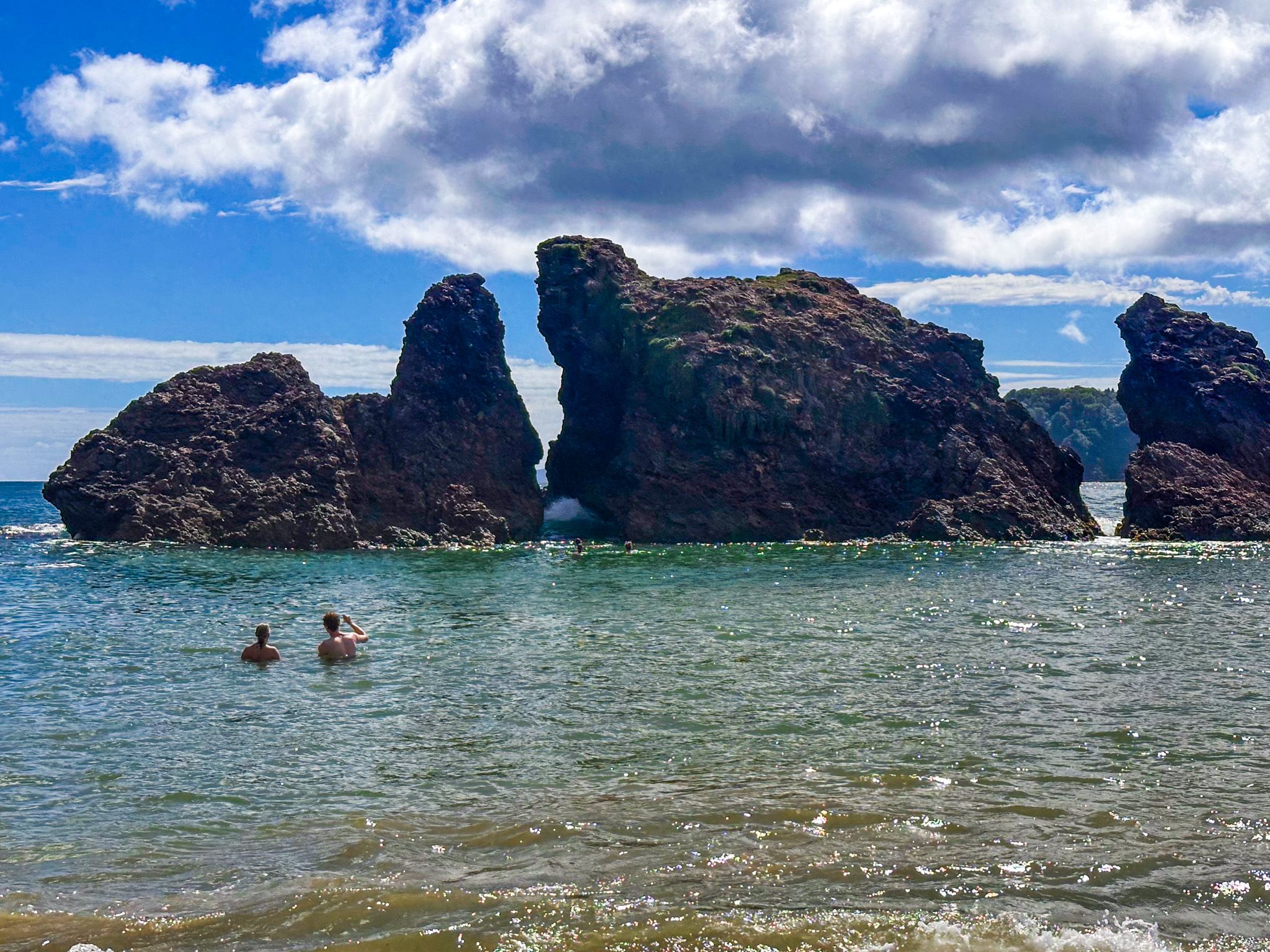
From this second bay, the low-tide coastal route continues around a rocky point. Here, the walk becomes more adventurous, though not difficult: you wade through water that is roughly knee-deep and calm, avoiding the need to scramble over sharp, jagged rocks. There is another golden sand bay, cove and a small natural arch before you emerge at the Kauakarangi sandspit at the northern edge of Ngunguru Bay. The whole walk from Whangaumu Bay beach to Kauakarangi takes around an hour each way.
The conditions do matter. This route is tide-dependent; aim for within two hours either side of low tide, and pick a calm day. Sturdy shoes are essential; the track surface is dirt and clay in places. But almost anyone in reasonable condition can manage it, and the reward is a stretch of coast that is genuinely off the map.
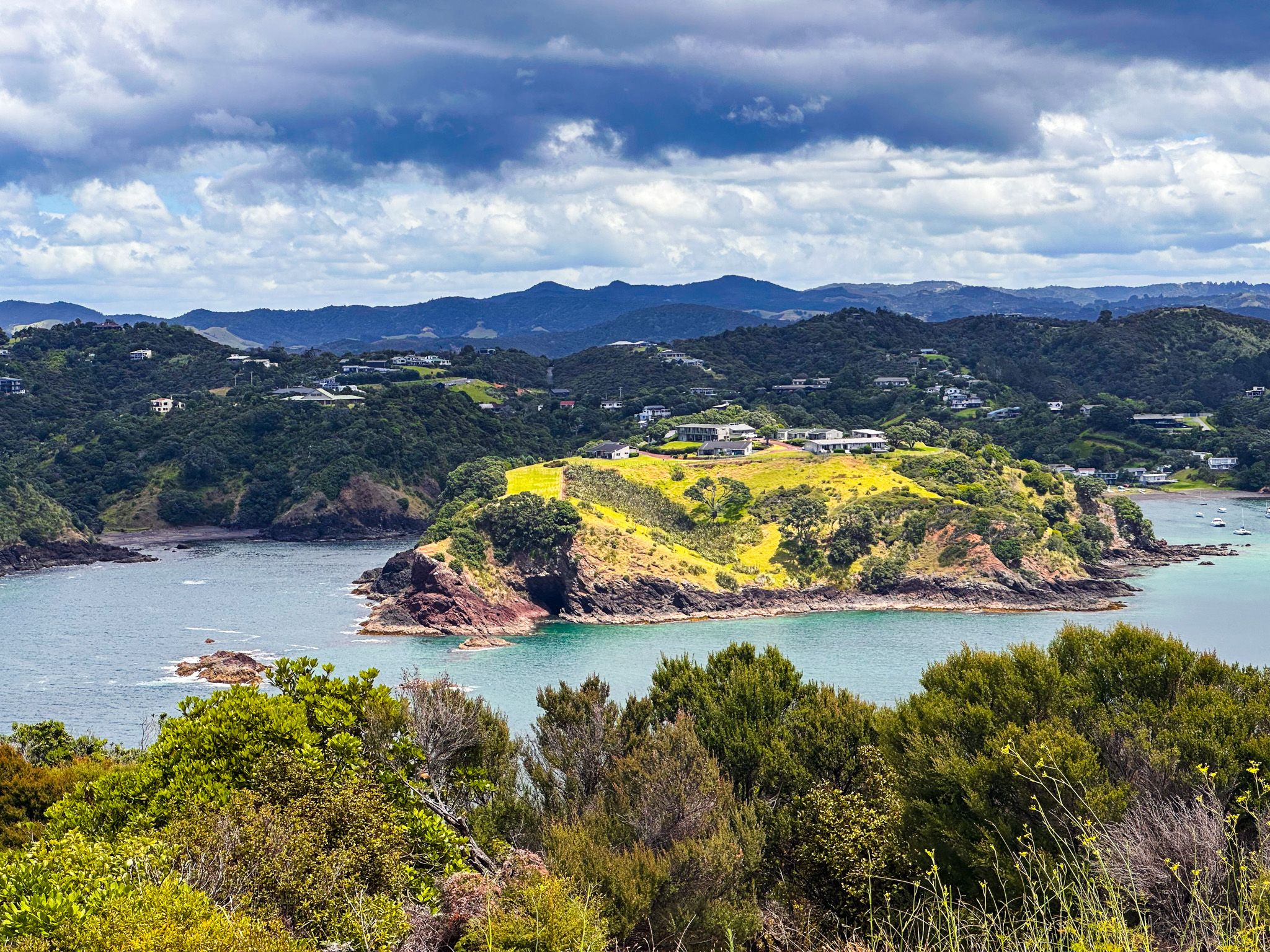
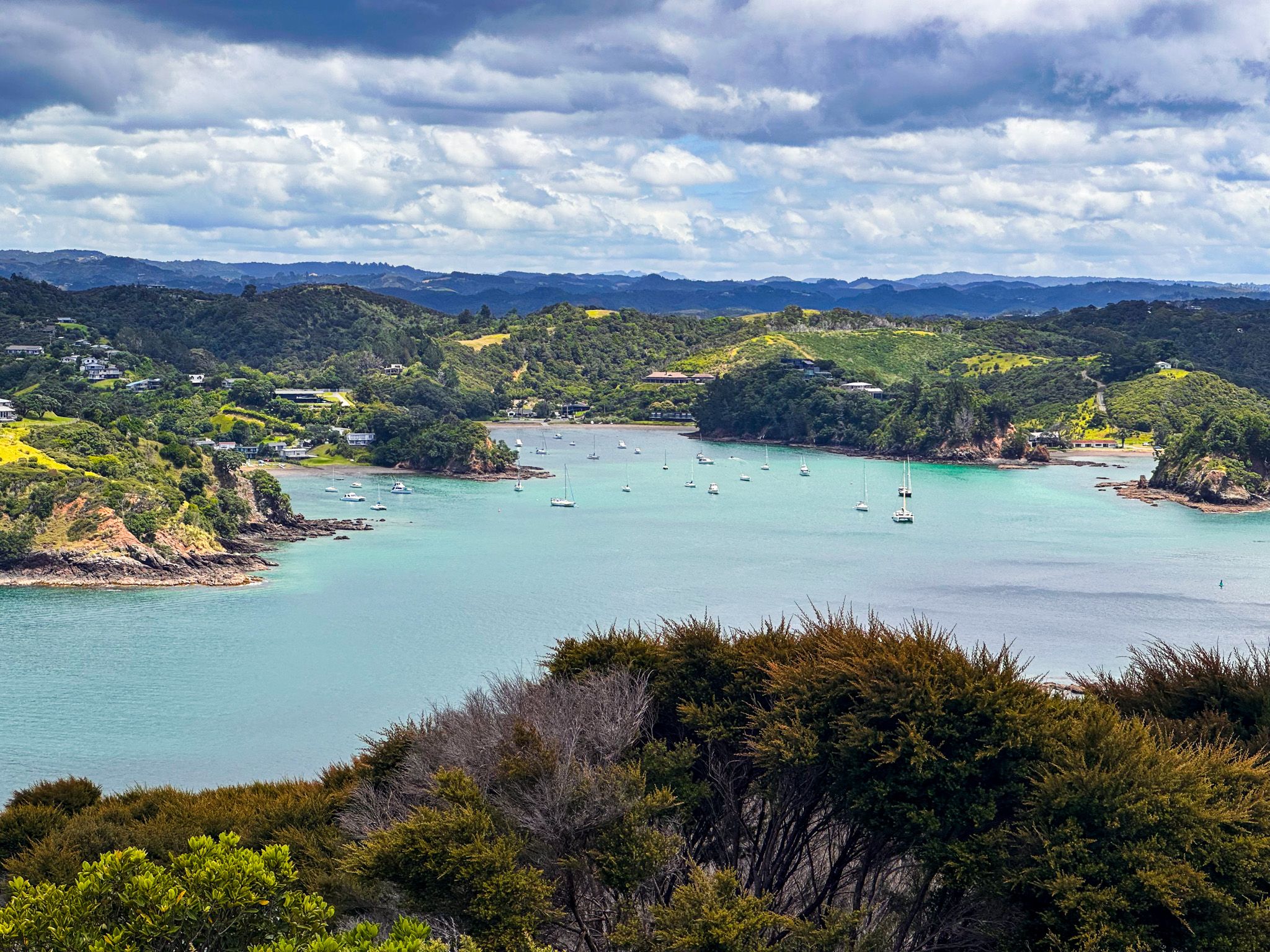
Tutukākā Harbour: The Marina, Church Bay, and Kowharewa Bay
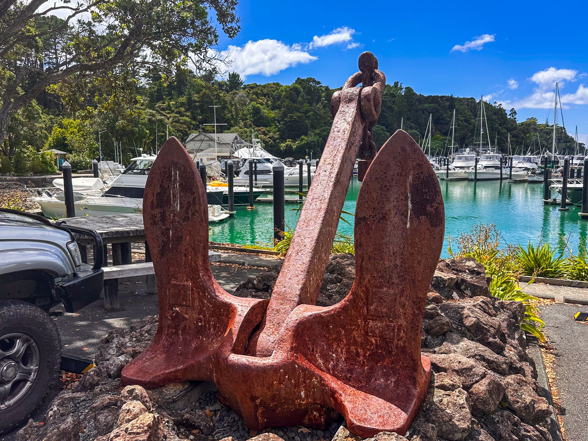
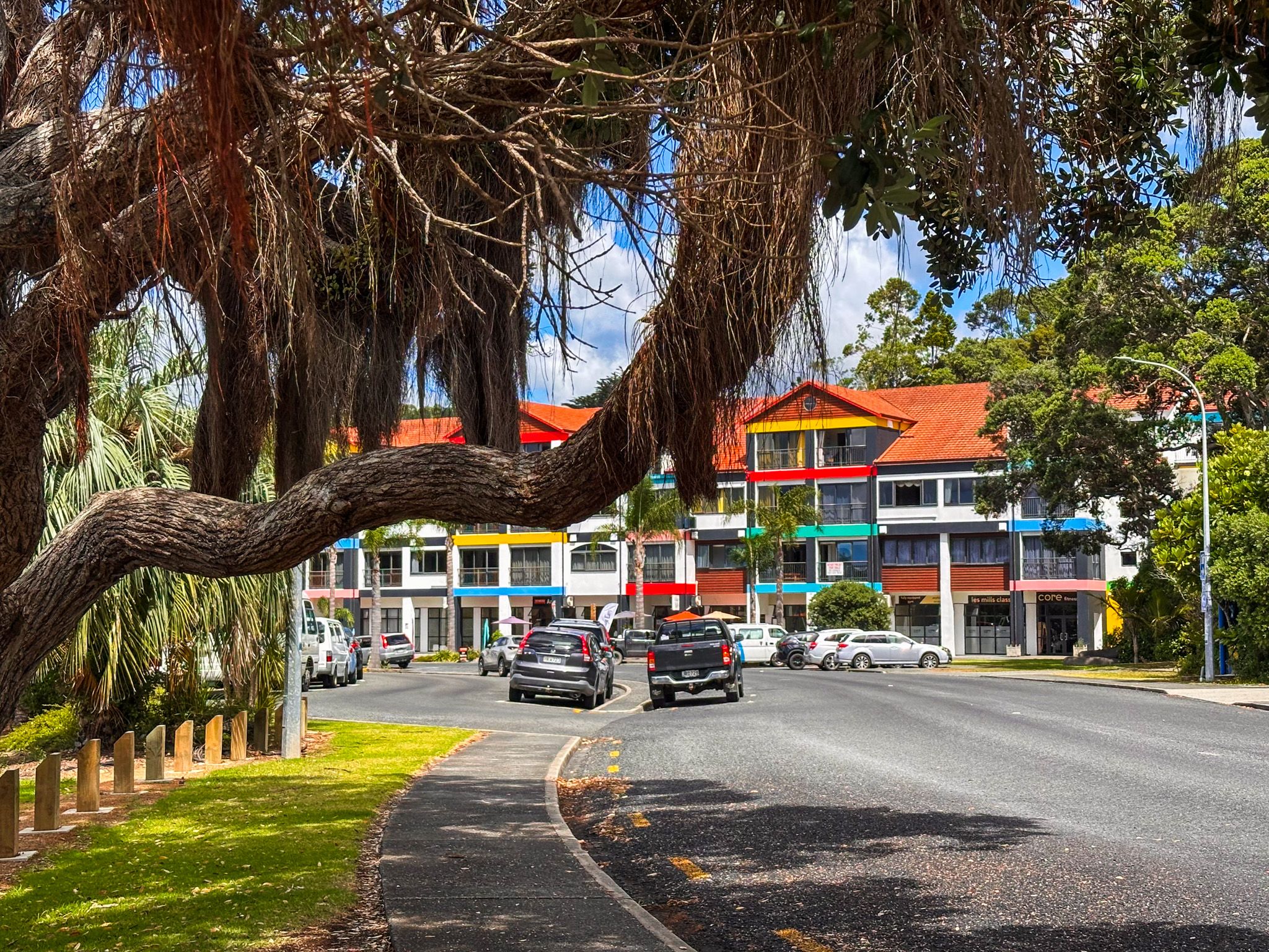
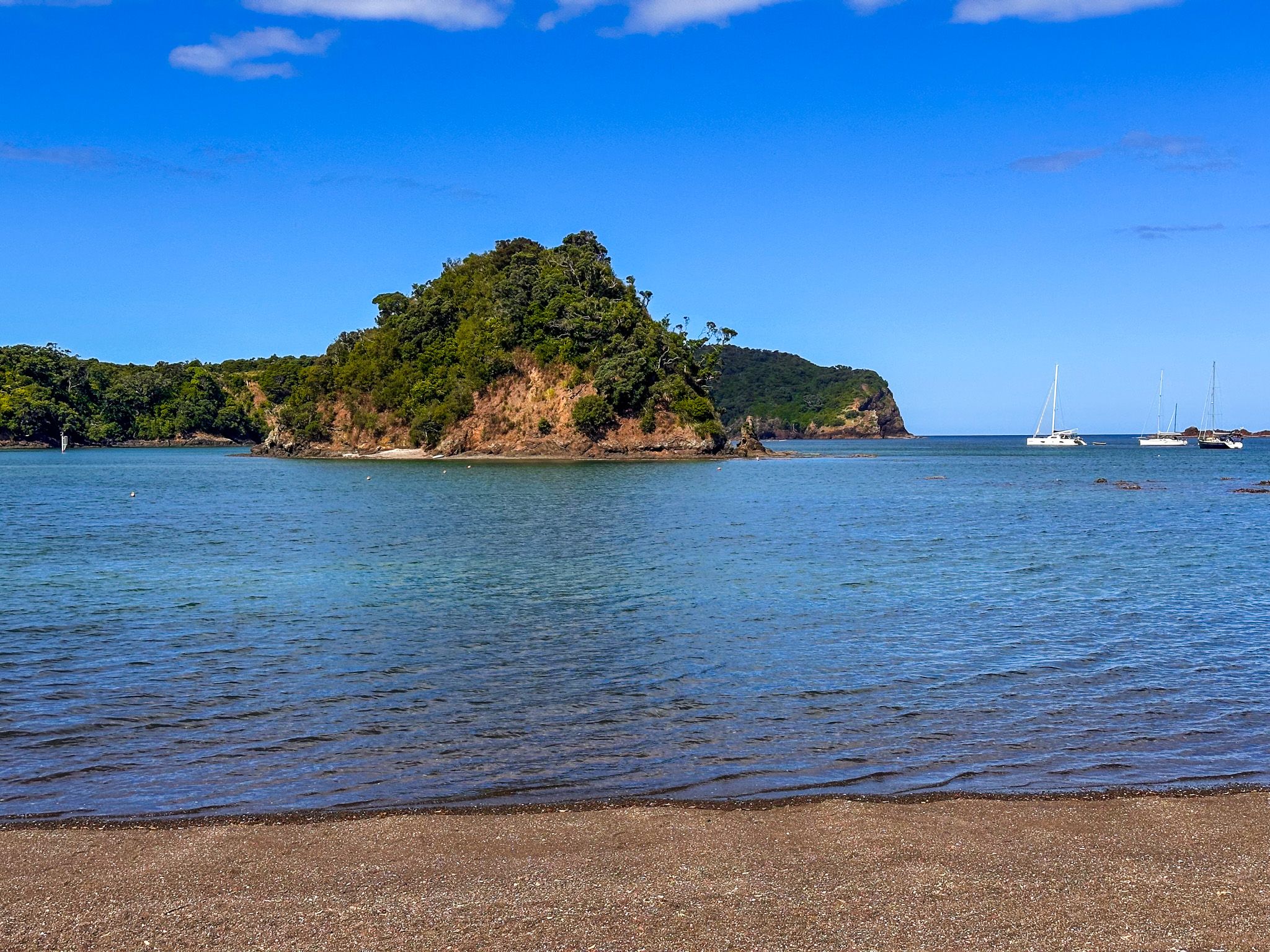
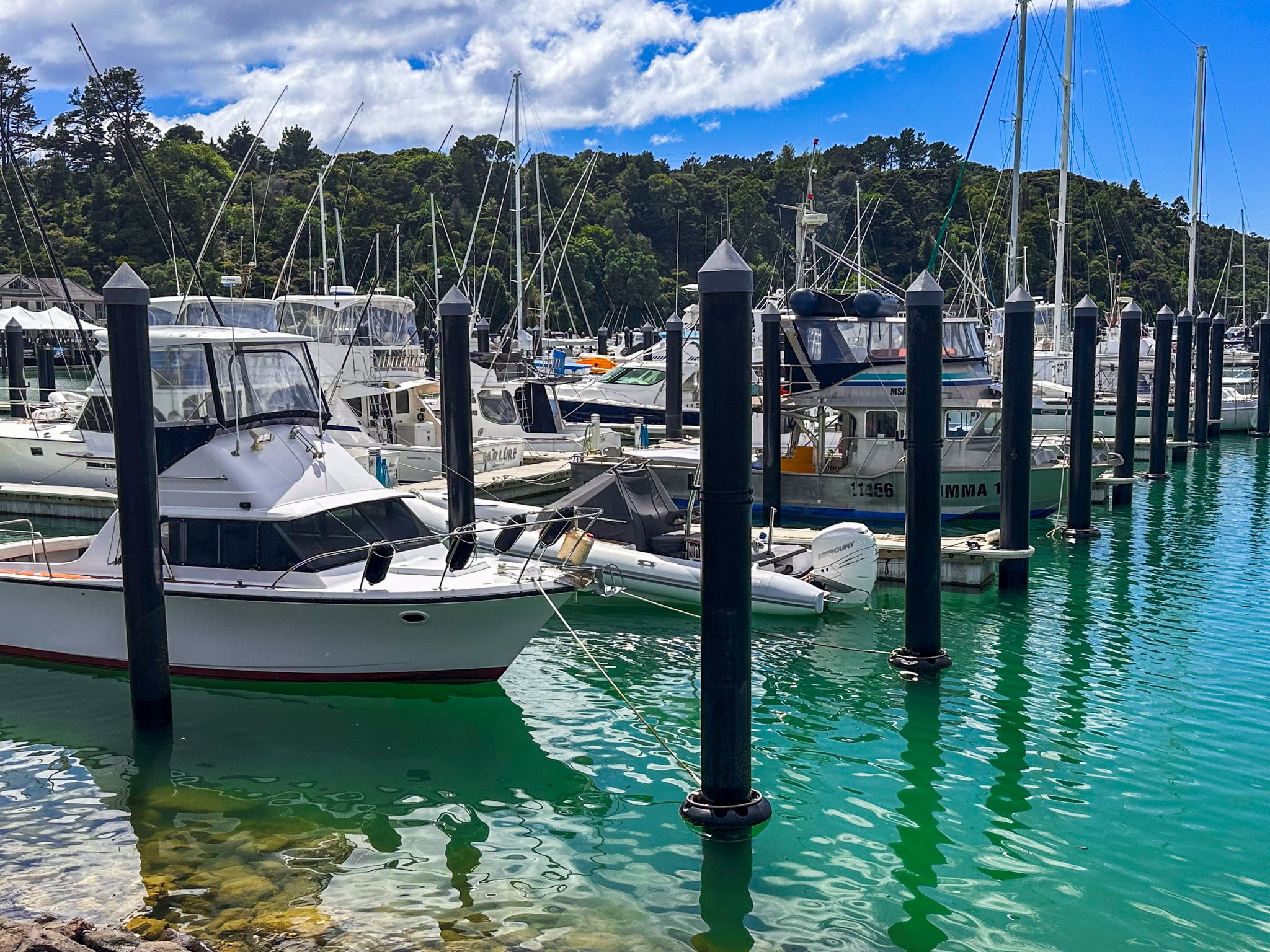
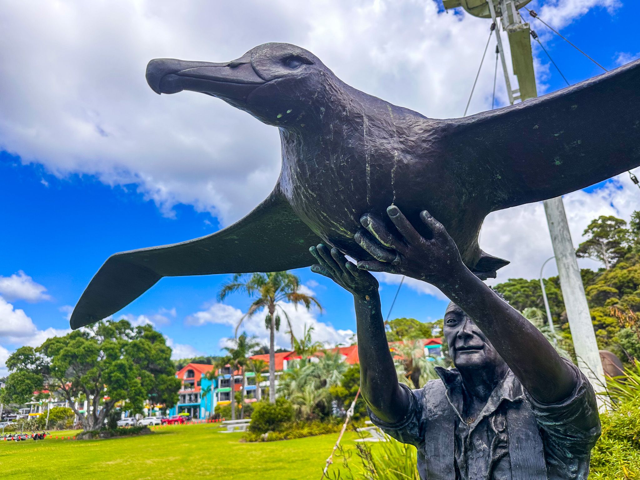
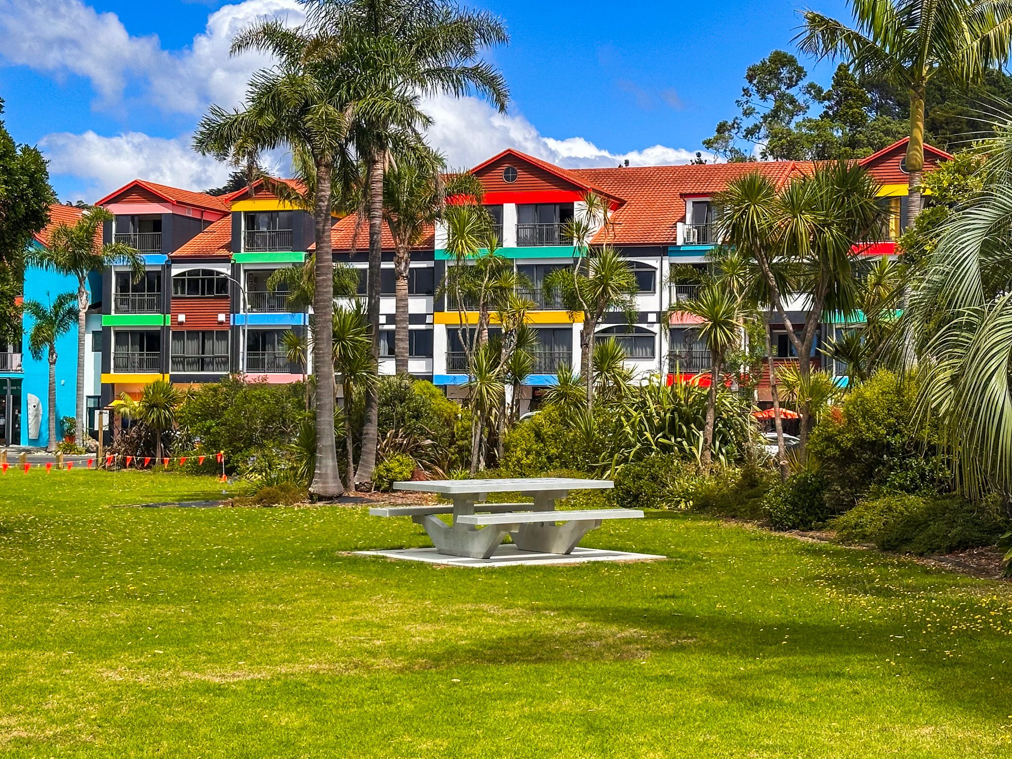
Tutukākā township sits at the head of the harbour, five kilometres south of Ngunguru, and is the maritime hub of the coast. The marina is the departure point for Poor Knights Islands dive and snorkelling charters, one of the top ten dive sites in the world according to Jacques Cousteau, as well as fishing charters and sightseeing trips. The distinctively colourful main building houses a hotel, cafes and services, and the waterfront reserve is worth a visit in its own right. The bronze sculpture Moment of Release depicts conservationist Robert Webb releasing a Southern Royal Albatross, and a memorial to Kelly Tarlton, the pioneering New Zealand diver who explored the Poor Knights from the early 1960s, stands nearby. Two sunken naval frigates, HMNZS Tui and HMNZS Waikato, are accessible to certified divers just offshore.
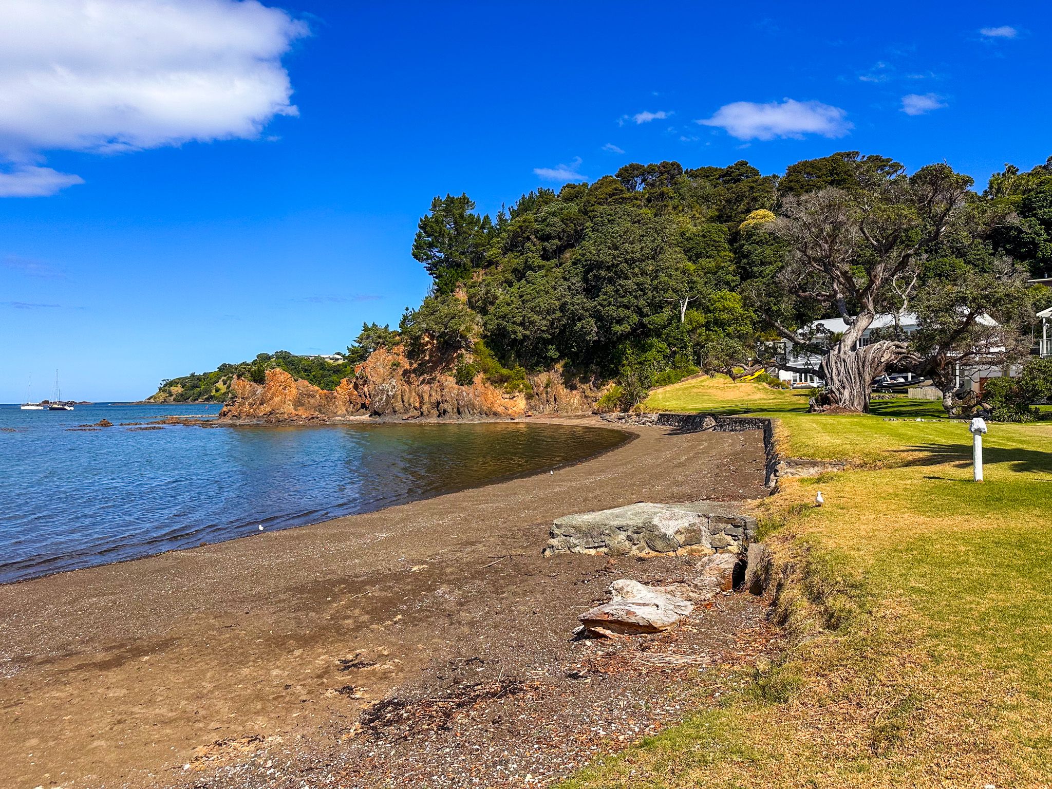
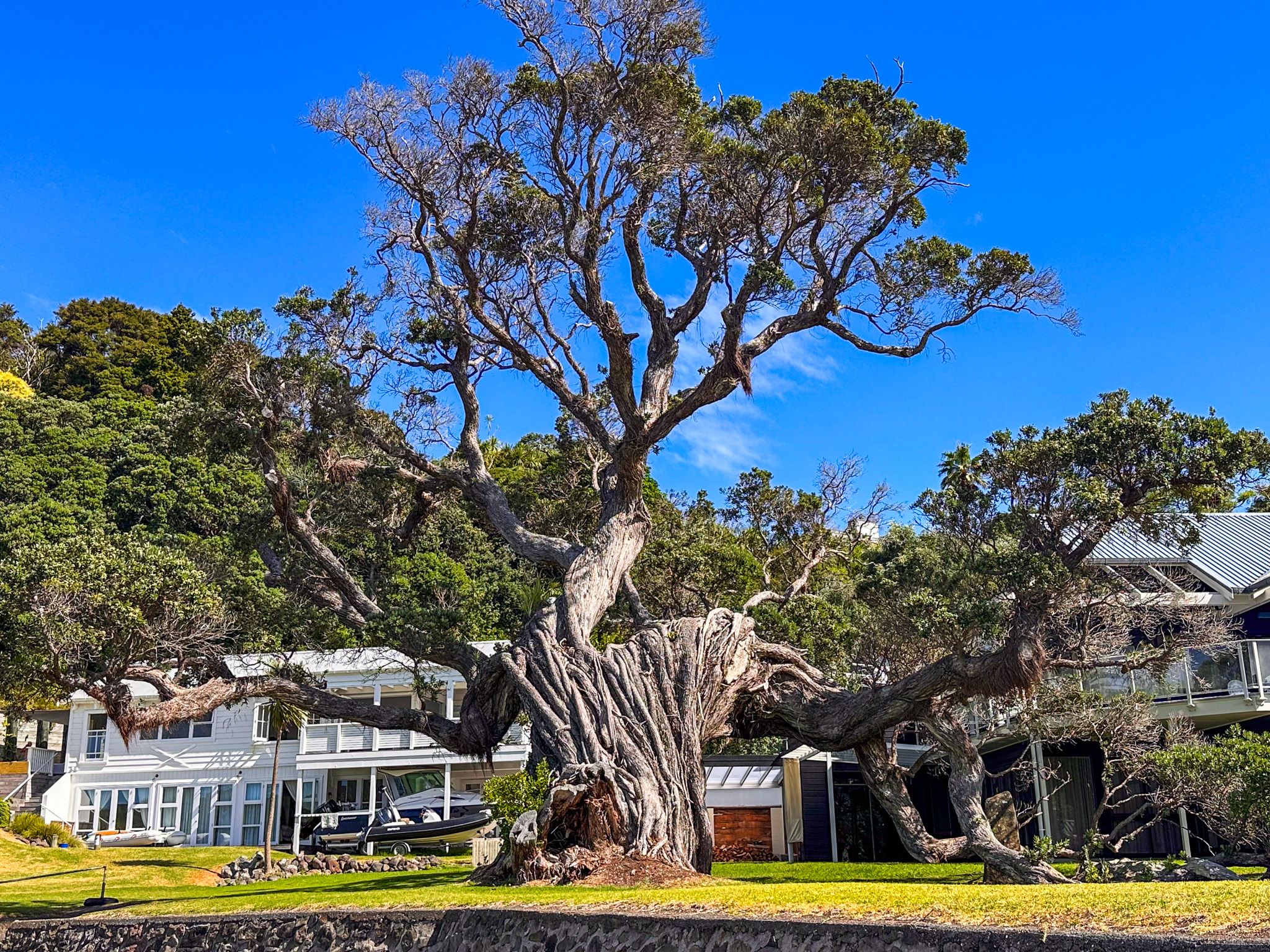
From the marina, Tutukākā Block Road heads east through a string of sheltered inner harbour bays to Whangaumu Bay. Along the way is Church Bay, a pebble beach around 300 metres wide, with a big pōhutukawa tree and a striking orange rock formation at the eastern end. Philips Island sits in the bay. You can walk around the rocky points at low tide, and dolphins, penguins, and occasionally whales are spotted from shore. A small boat ramp and reserve provide access alongside the few houses that front the bay.
Kowharewa Bay, a couple of kilometres further along, is one of the calmest spots on the inner harbour. A grass reserve shaded by pōhutukawa trees sits behind a small pebble beach; at high tide, the swimming is good, at low tide, the mudflats draw wading birds. Freedom camping is available here for self-contained vehicles, with a one-night limit. The Te Maika Headland Walkway links all four harbour bays through regenerating native bush, a good stretch of the legs between swims.

Tutukākā Track
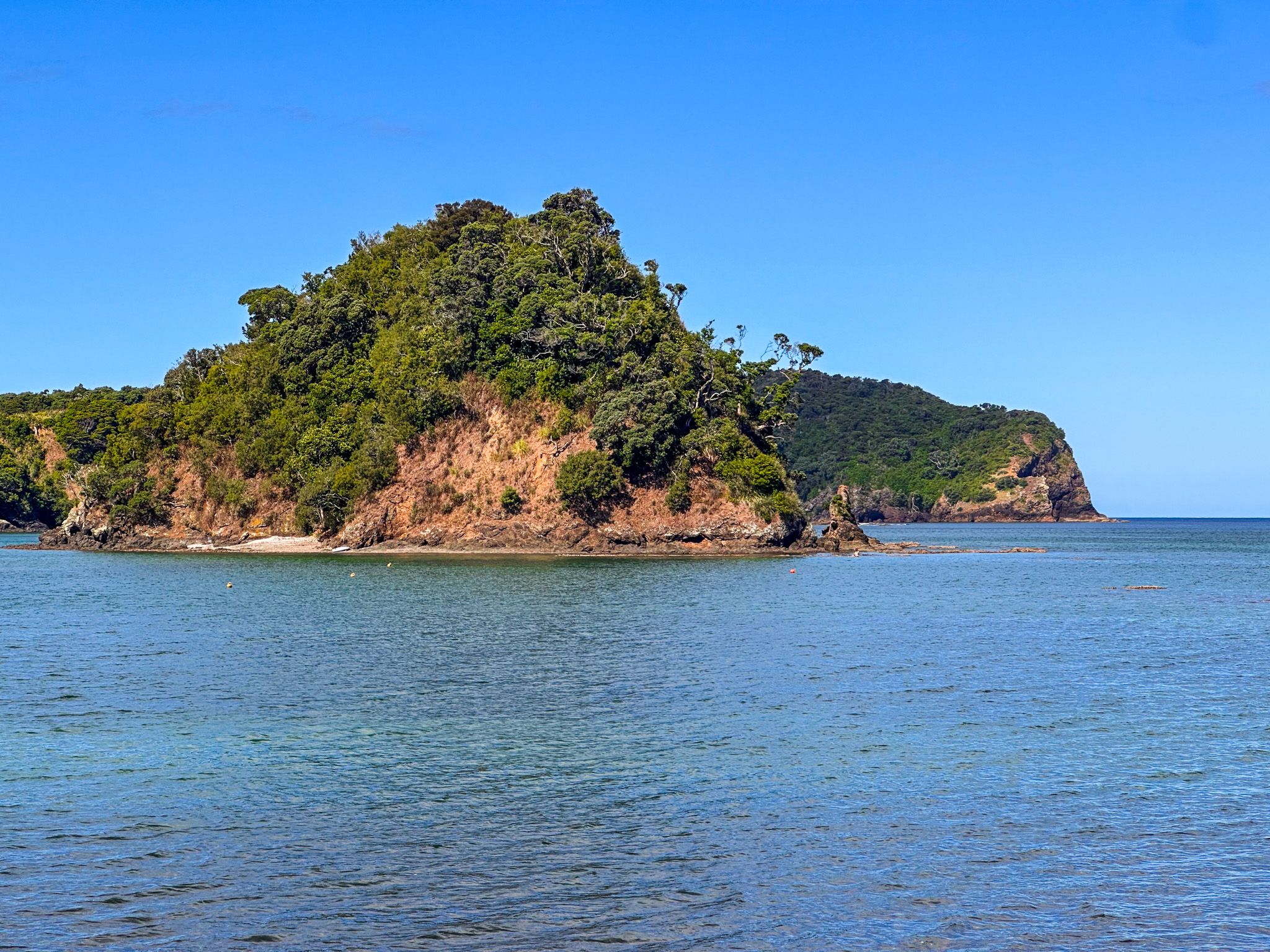
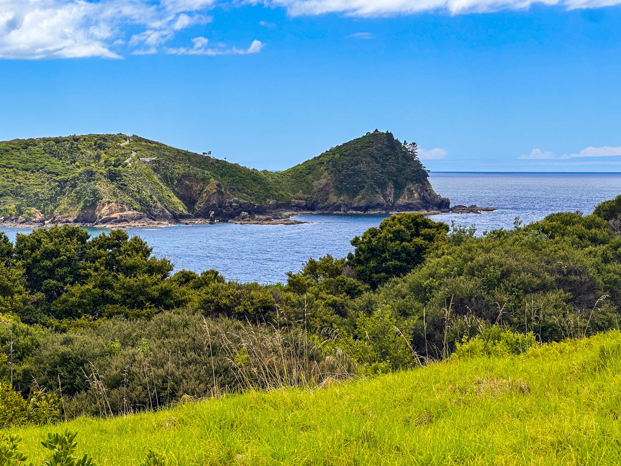
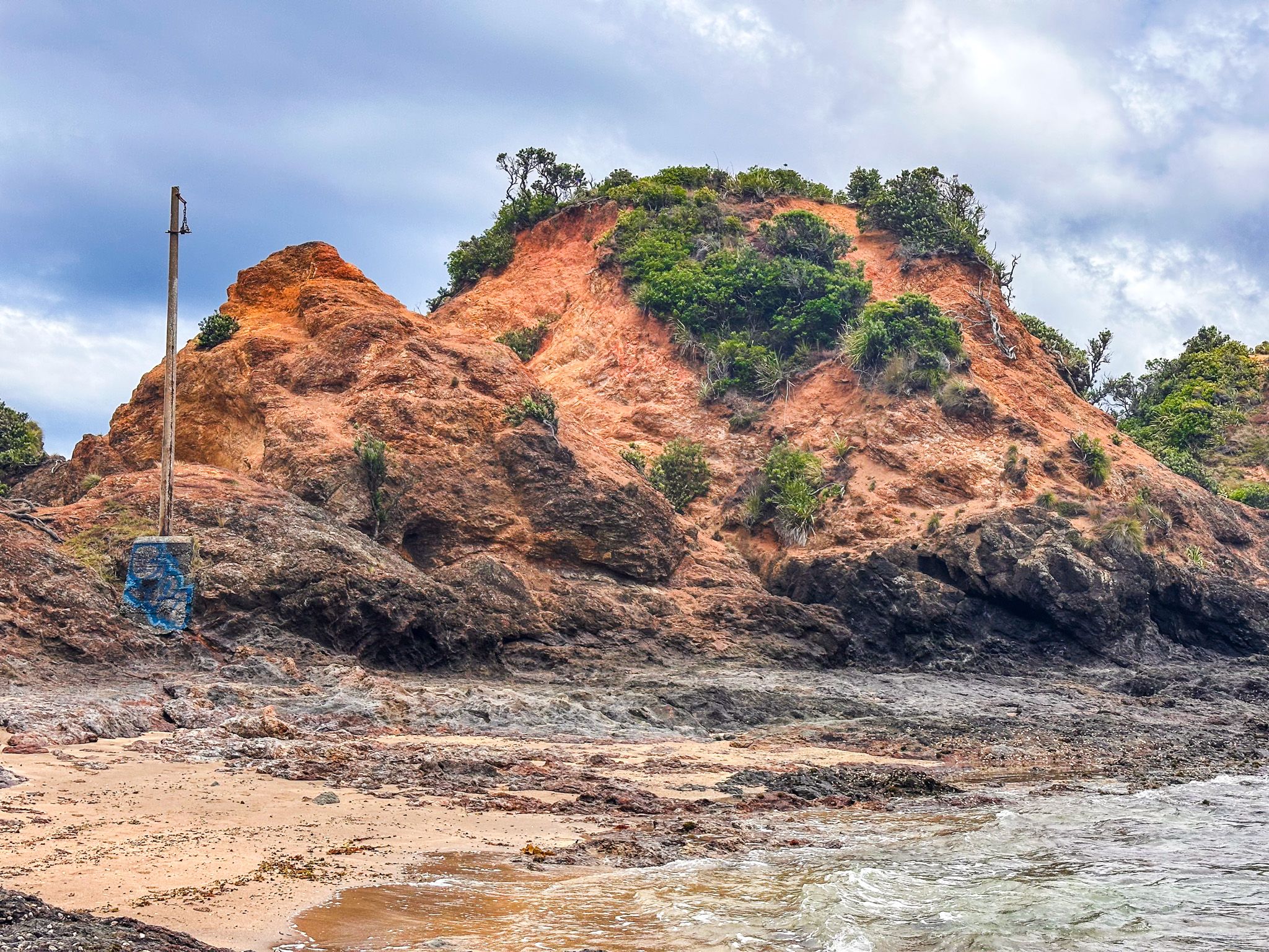
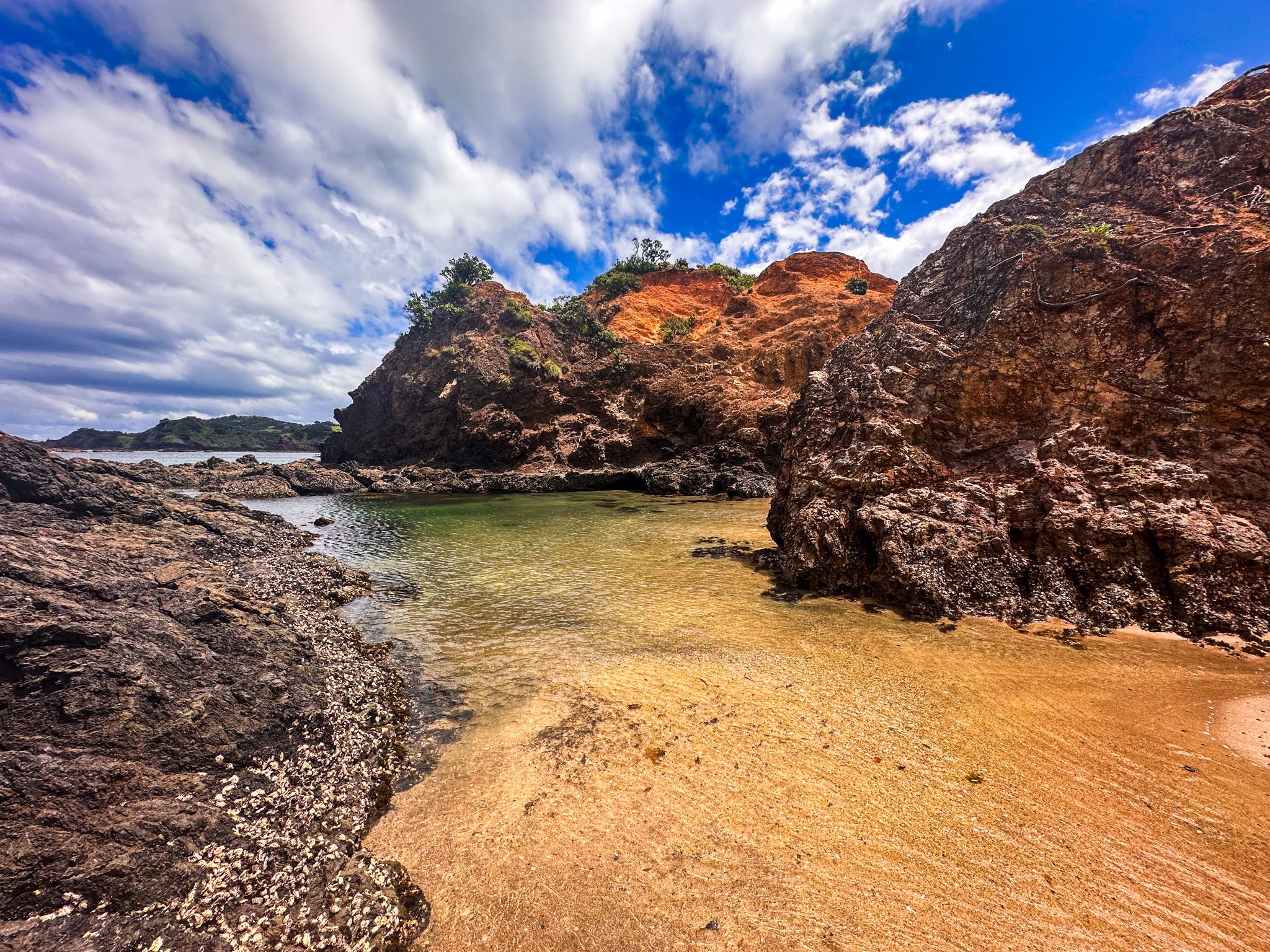
Just north of the marina on Matapouri Road, a private lane with public right of passage leads to the start of the Tutukākā Track. The walk crosses open clifftop grassland, then descends steep steps to the rocky neck between the headland and Kukutauwhao Island. The geology here is the visual highlight before you even cross: bright orange rock formations contrast sharply with the dark grey rock at the tideline, which carries thin white streaks. A little rock-hopping gets you across without wet feet at low tide.
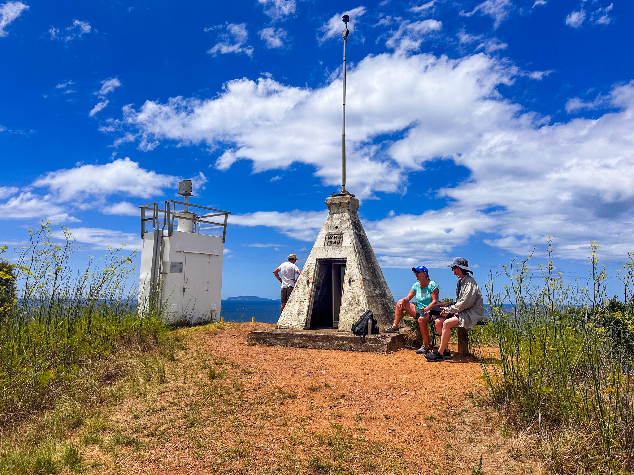
Once on the island, the track climbs through regrowth coastal bush to a solar navigation beacon at the tip, with views of the Poor Knights Islands, Tutukākā Harbour, and on clear days, Cape Brett and Great Barrier Island. The surface can be slippery after rain; sturdy shoes are strongly recommended. The full return walk takes around an hour. No dogs are permitted. It is yet another satisfying walk on the coast.
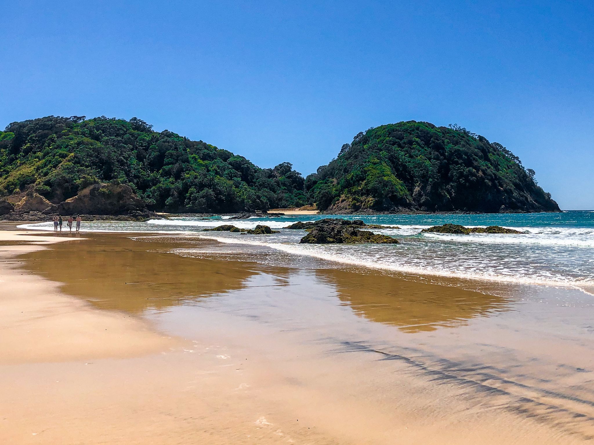
Matapouri Bay, Whale Bay, and the Otito Track
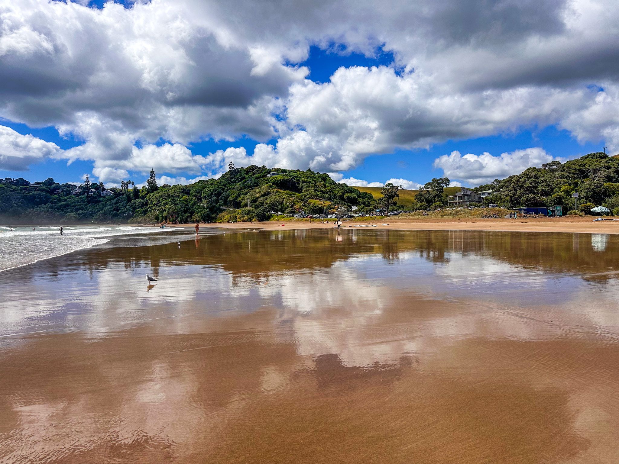
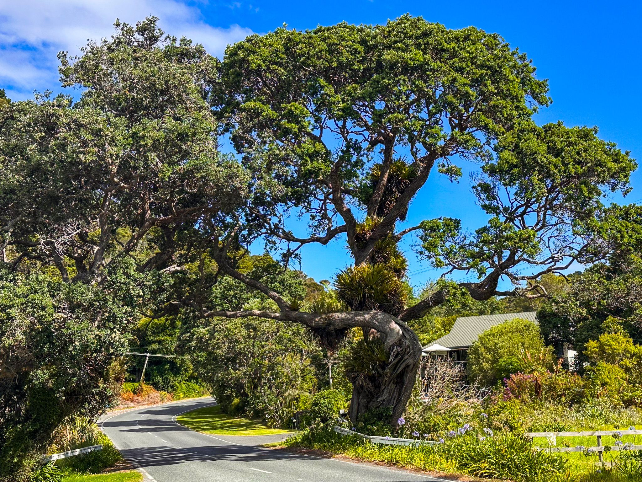
North of Tutukākā, Matapouri Road delivers one of the most celebrated beach sequences in the country. Matapouri Bay is a large horseshoe of white sand and clear water; its Māori name means hidden place, because the western headland conceals it from the open sea. A small holiday village and general store serve the community. The beach is consistently popular and well-suited to families: the water is usually calm, and the setting is superb. If you want calm water for reflection shots, check out the lagoon front at the south end of the bay with an early morning high tide.
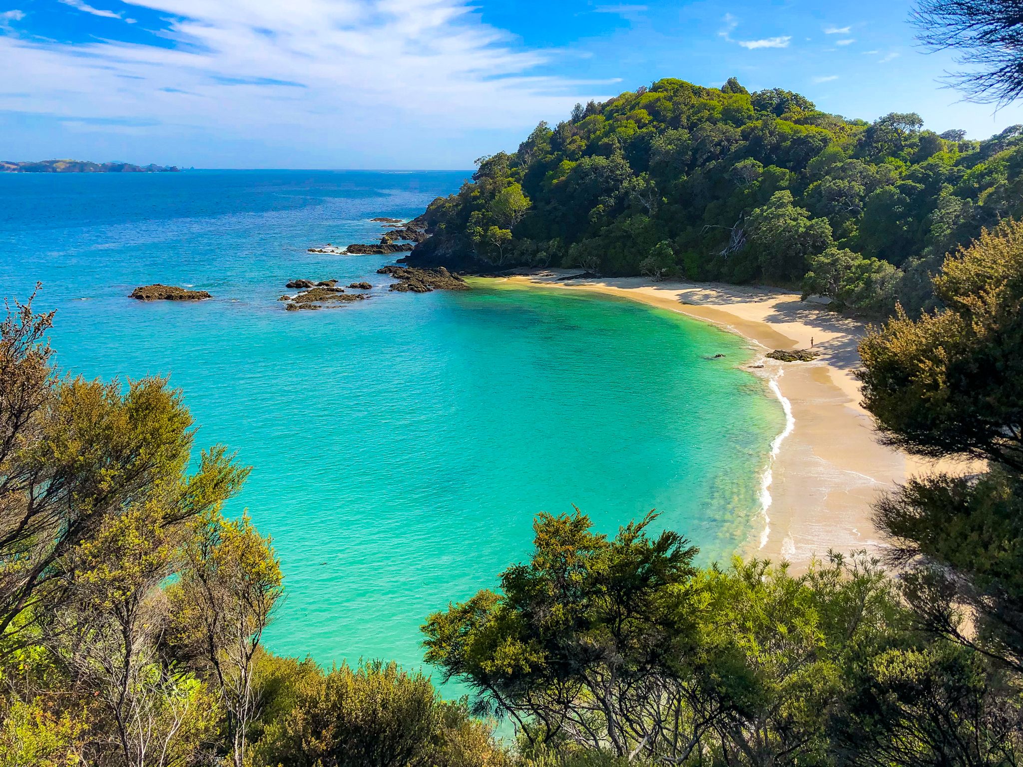
From Matapouri, the Otito Track loops north through mature coastal bush including puriri trees, climbs to a clifftop viewpoint with views across the Poor Knights, and descends to the sheltered, foot-access-only Whale Bay. This is consistently rated one of the finest small beaches in New Zealand: small, pohutukawa-fringed, and backed by bush that glows with yellow kōwhai in spring and red blossom in summer. The full loop from Whale Bay car park takes around 90 minutes, excluding time on the beaches.
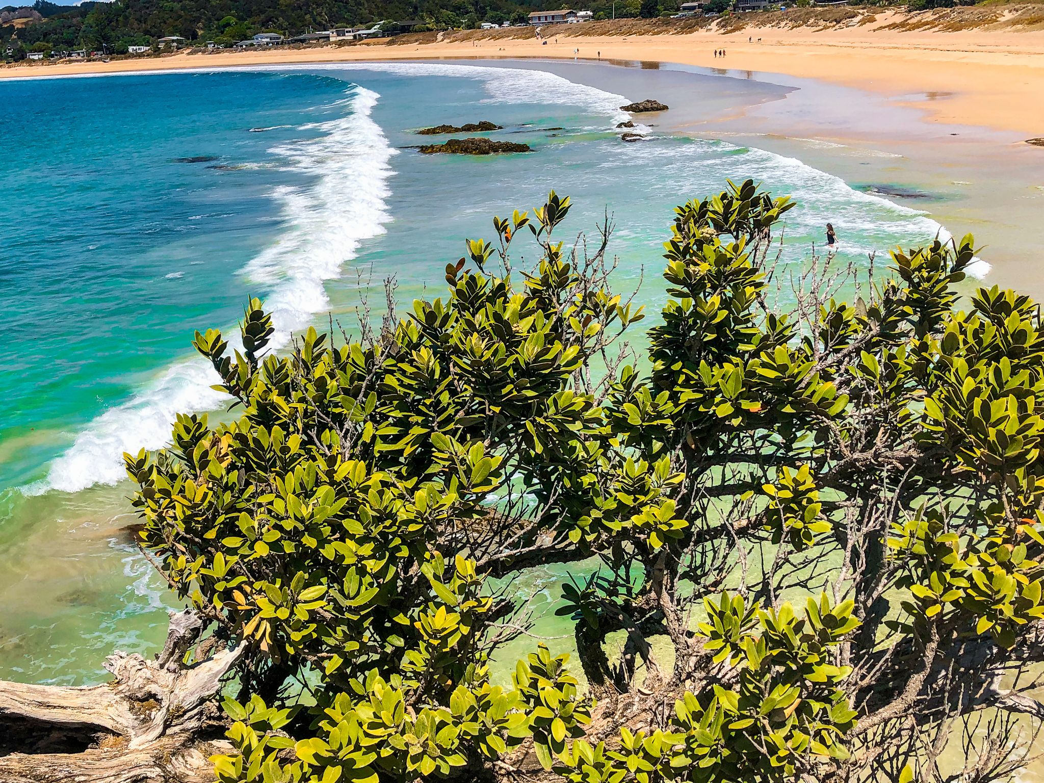
Woolleys Bay and Sandy Bay
Woolleys Bay, just to the west of Matapouri and named after an early European farming family, is the quieter counterpart to its neighbours: an open beach with room to walk, freedom camping, and a pace that suits an evening stroll before sunset. When a swell is running, it can have some push, but in calm conditions, it is a lovely, unhurried spot.
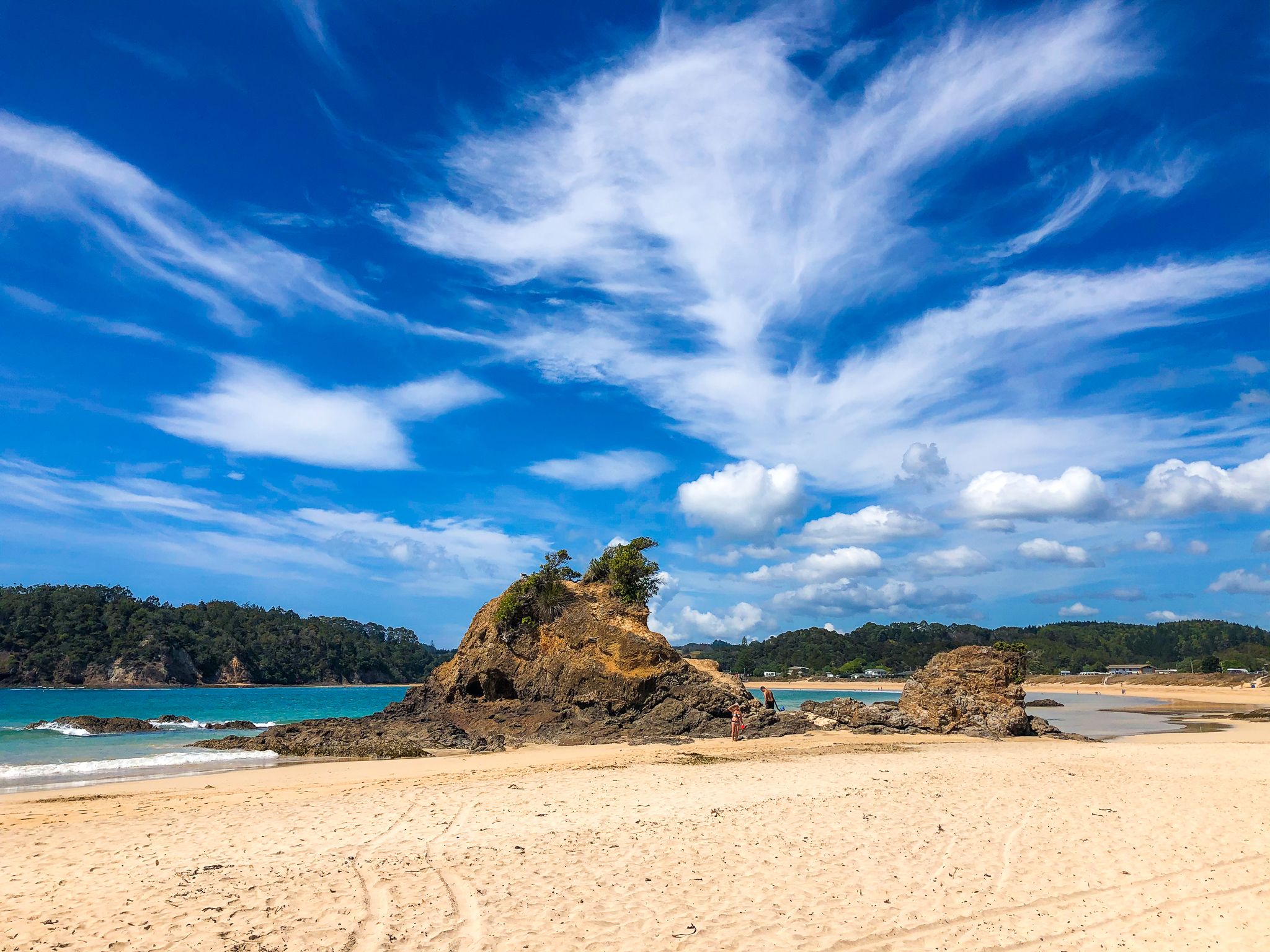
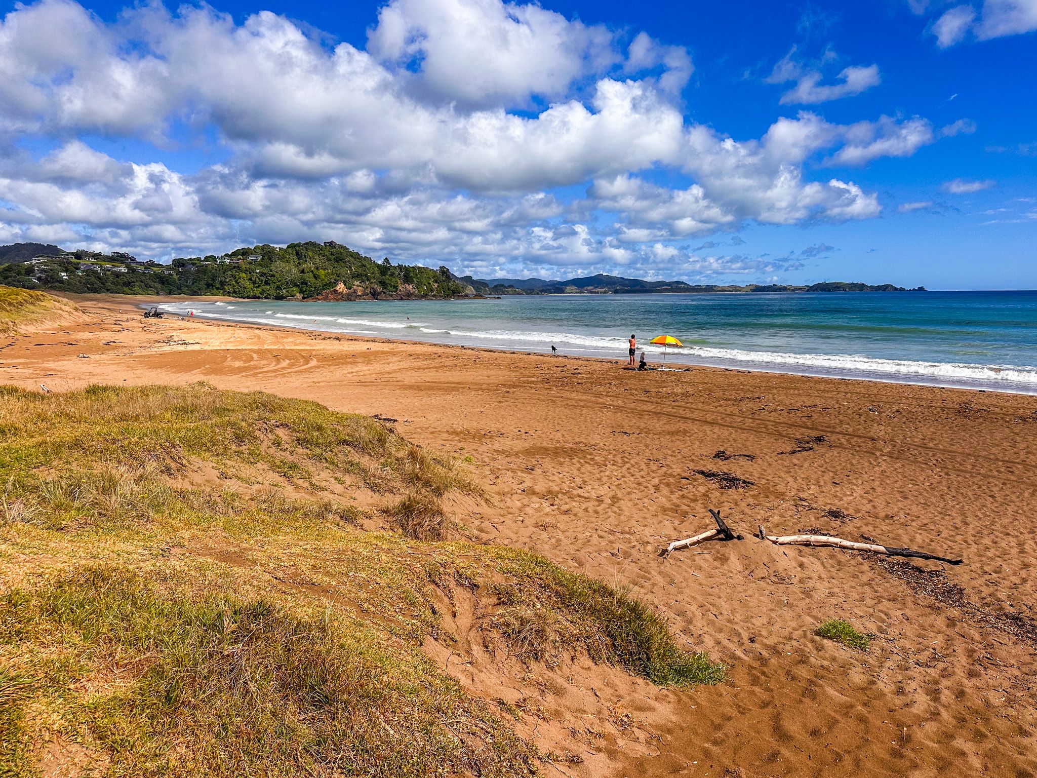
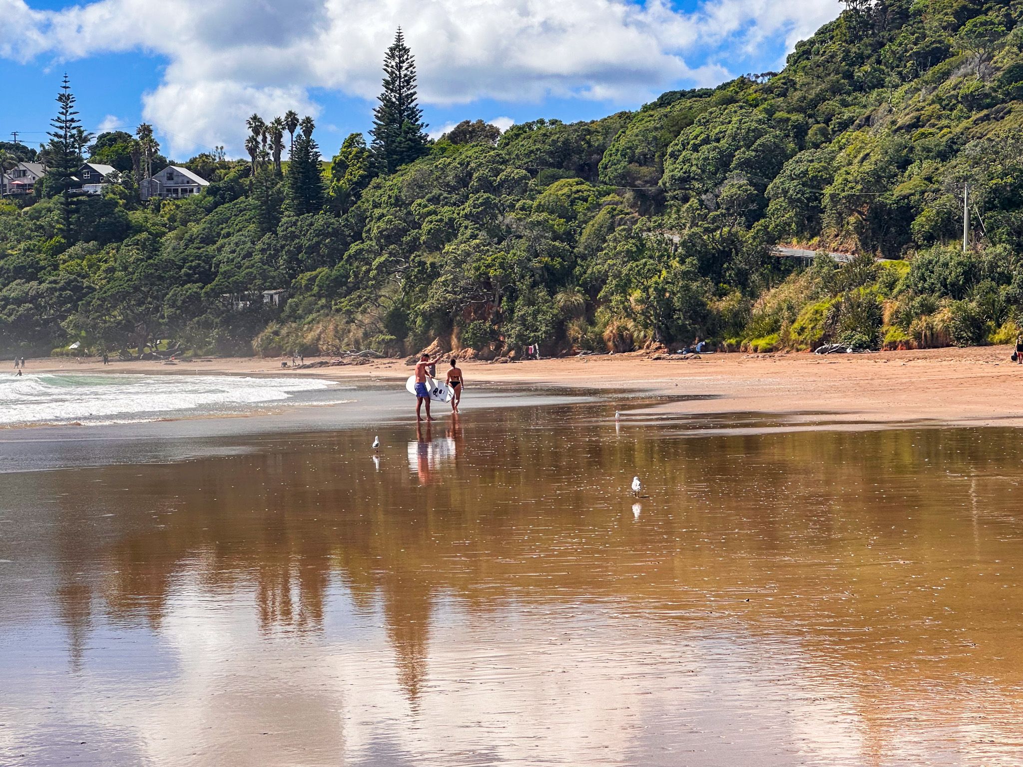
Sandy Bay to the northwest is where the surf arrives. It consistently produces waves a size or two larger than the beaches nearby, and it draws surfers of all abilities, with surf schools operating through the warmer months and periodic competitions. The beach is wide, east-facing, backed by pohutukawa and cliffs at the southern end, with interesting rock formations at the northern end. The surf wash is highly reflective and perfect for photos as the tide retreats, Sandy Bay is also the southern trailhead for the Whananaki Coastal Walkway, part of Te Araroa, which heads north six kilometres to a 395-metre footbridge at Whananaki.
Key Things to Know
- Getting there: from Whangārei, follow the Twin Coast Discovery Highway northeast past Whangarei Falls to Ngunguru and Tutukākā, around 30 to 35 minutes. From Auckland, allow 2.5 hours.
- The hidden coastal walk between Whangaumu Bay and Kauakarangi is tide-dependent: aim for within two hours either side of low tide, and check the weather. Knee-deep wading is involved; sturdy shoes are essential.
- The Tutukākā Track also requires a low-tide crossing; check tides before you go and allow around 90 minutes return.
- Poor Knights Islands dive and snorkelling charters depart from Tutukākā Marina. Book in advance, especially in summer. Snorkelling is excellent even for non-divers.
- Freedom camping is available at Kowharewa Bay, Whangaumu Bay, Woolleys Bay, and Sandy Bay; all have one-night limits and self-contained requirements at some sites. Sites close or restrict over the Christmas and New Year period.
- No shops or cafés at any of the harbour bays or at Woolleys Bay or Sandy Bay. Tutukākā marina and Ngunguru township are the main service stops.
- Best seasons: summer for swimming and charters; the coast is worth visiting year-round, with pohutukawa in bloom in December and early January.
- The Tāne Moana kauri walk is also a worthwhile detour on Waiotoi Road off Ngunguru Road; the roadside access is easy to miss, and parking is very limited.