Exploring Cape Palliser Road
Cape Palliser Road is a remote and scenic route located at the southeastern tip of the Wairarapa region in the North Island. This road is a unique drive through diverse landscapes, from coastal farmland to dramatic ocean views, cliffs and rock formations. The road terminates at Cape Palliser, with a lighthouse and seal colony.
Coastal Scenery and Fishing Hamlet
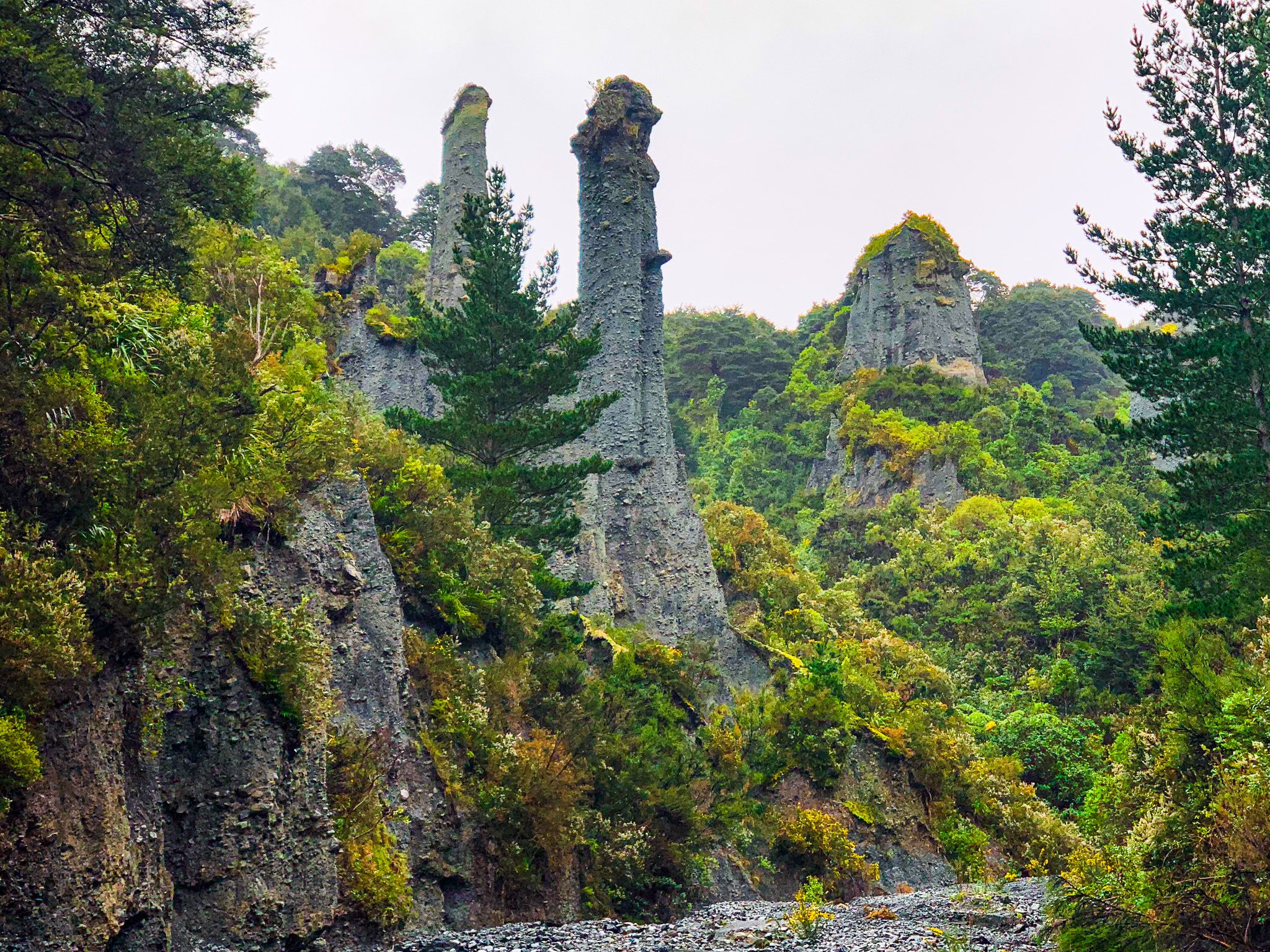
The road begins at the access point to Lake Ferry and Palliser Bay, winding through coastal farmland before reaching the coastline near the Putangirua Pinnacles. Here you can stop and explore the high track to these interesting rock formations.
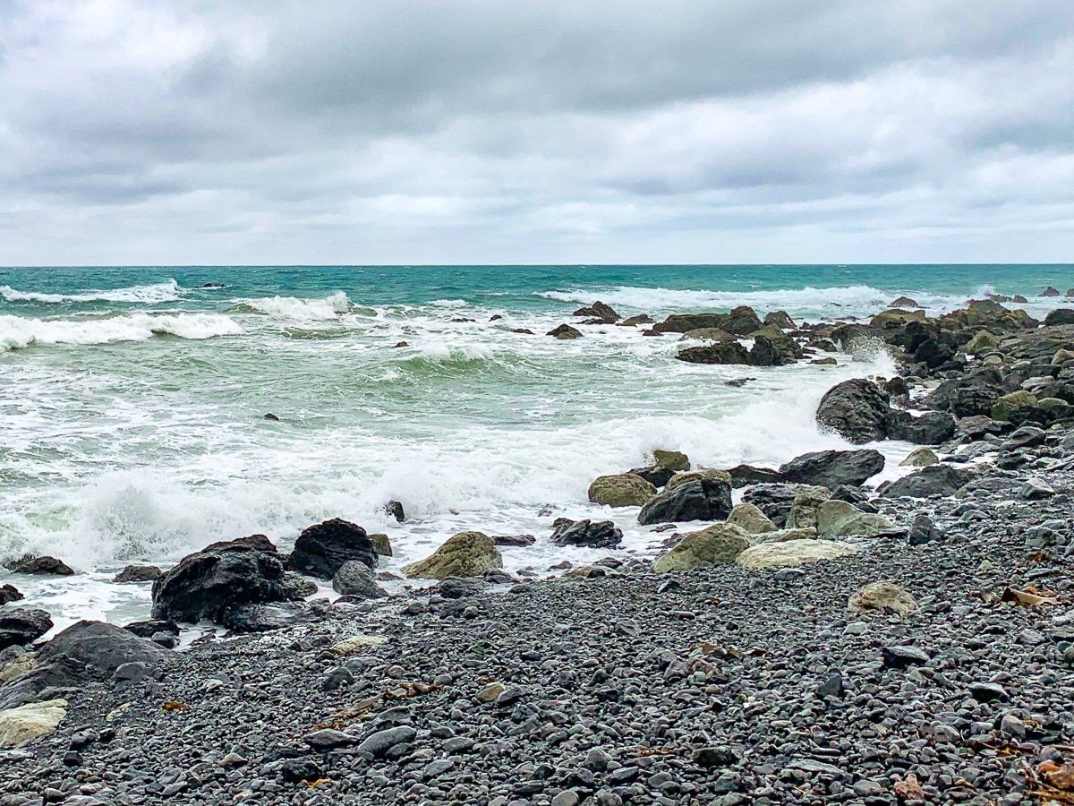
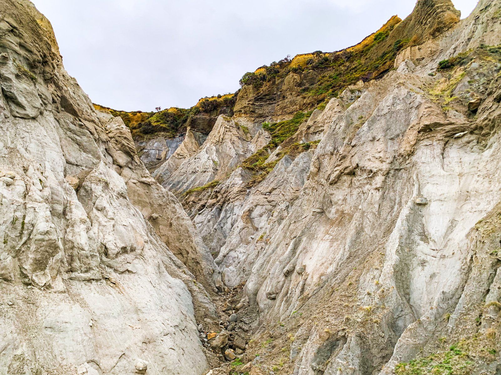
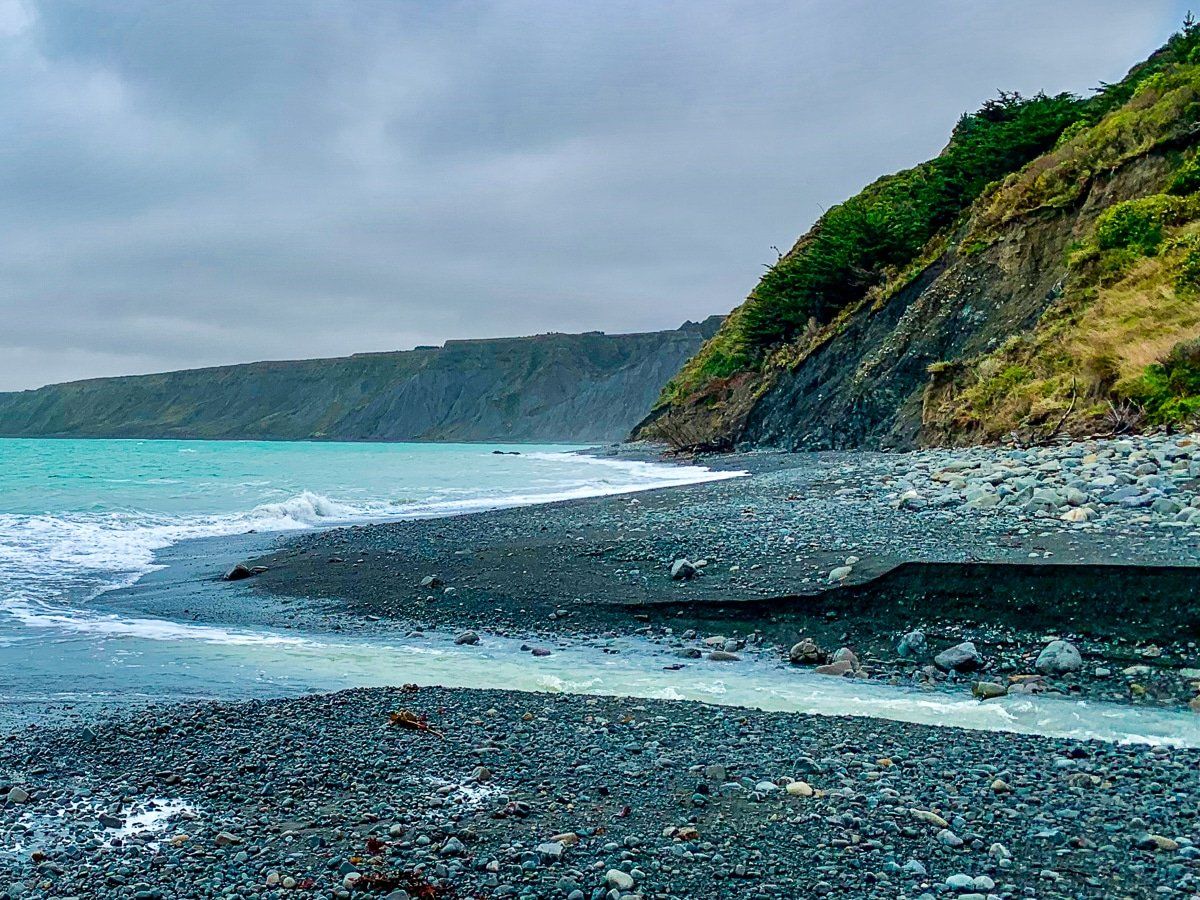
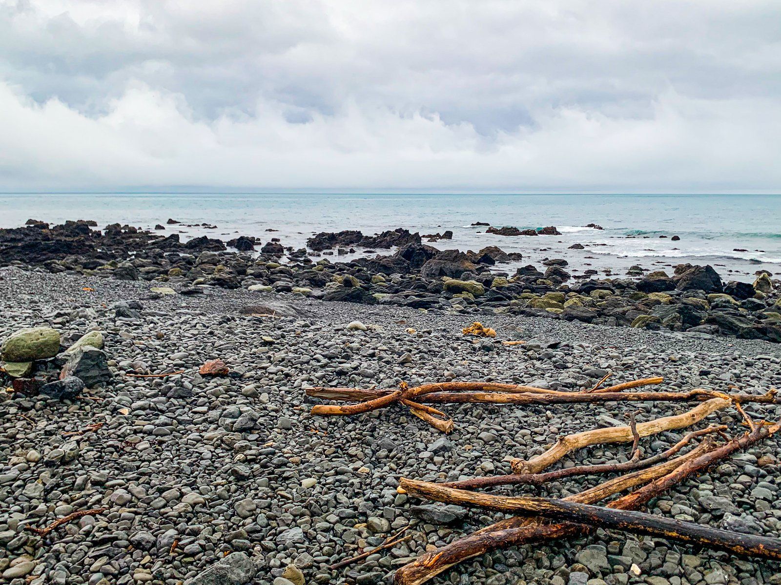
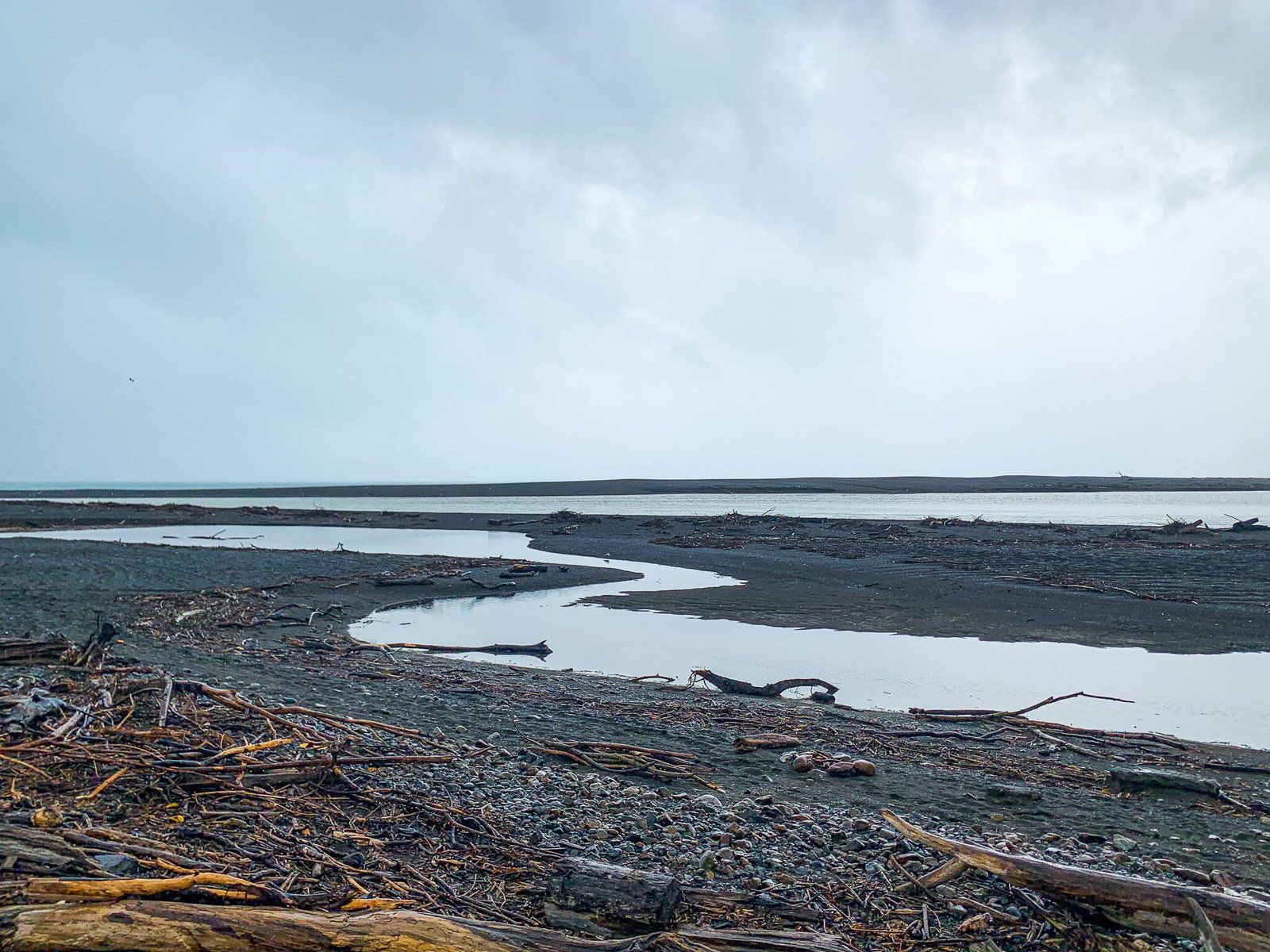
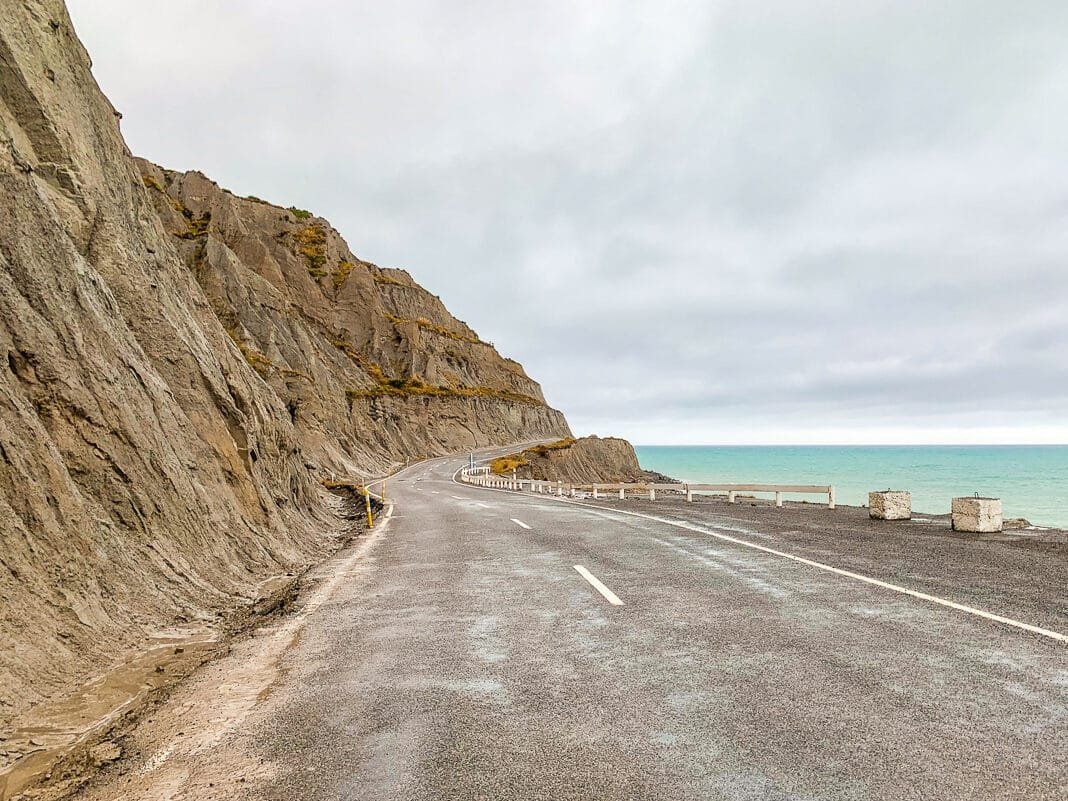
After this, the road follows the coast, including a section with grey, crumbling cliffs to the sea. It’s not entirely without people, as you'll pass through the quaint fishing hamlet of Ngāwi. Here, you can enjoy stunning ocean vistas, get fish and chips and a coffee from a caravan and observe fishing boats parked on trailers above the beach: a distinctive scene in New Zealand.
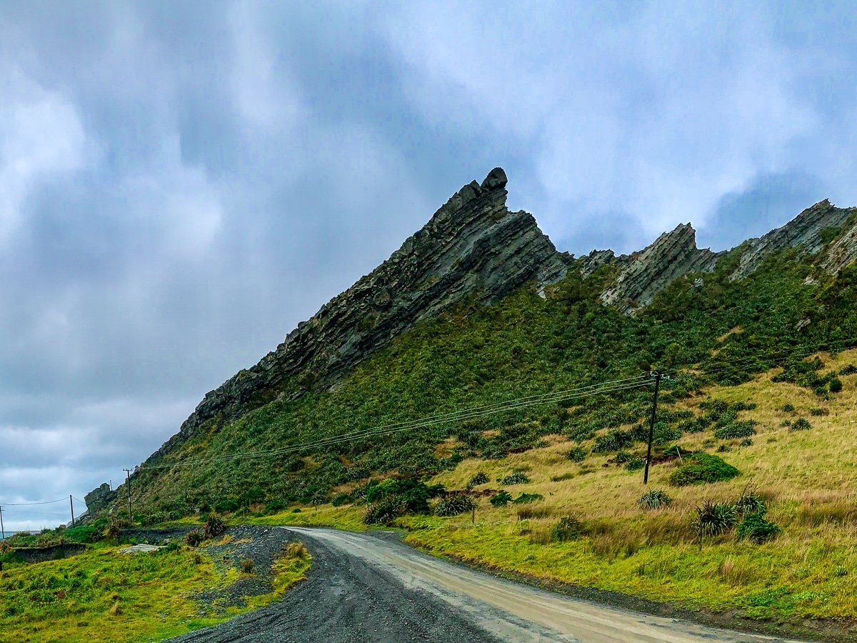
Geological Features and Kupe’s Sail
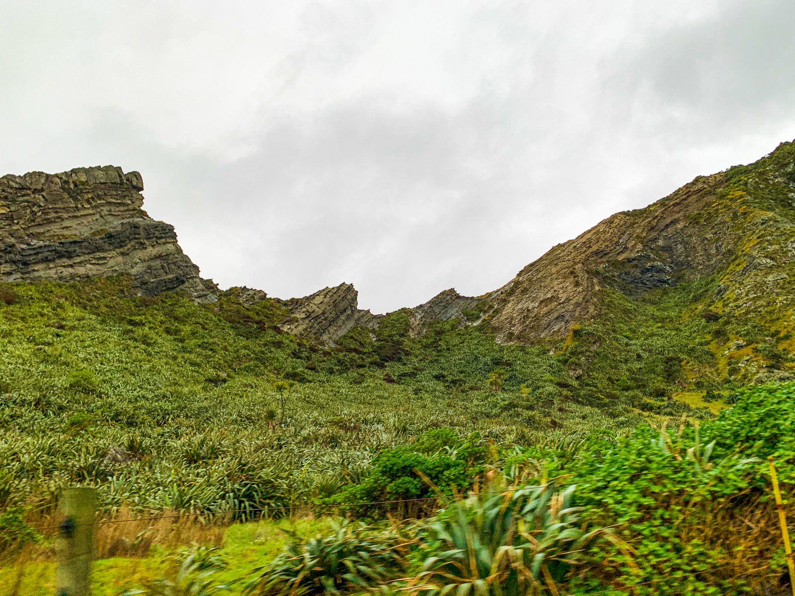
The Aorangi Range, with peaks up to 900 metres, dominates the coastline as you drive towards Cape Palliser, dropping steeply to the sea. Much of the range is covered in regenerating forest.
This dramatic coastline was shaped over millions of years, with ancient sediments over 100 million years old combined with underwater volcanic remnants that were uplifted as the Pacific and Australian tectonic plates collided. Ongoing movement along the Wairarapa Fault system tilted the greywacke rock layers dramatically.
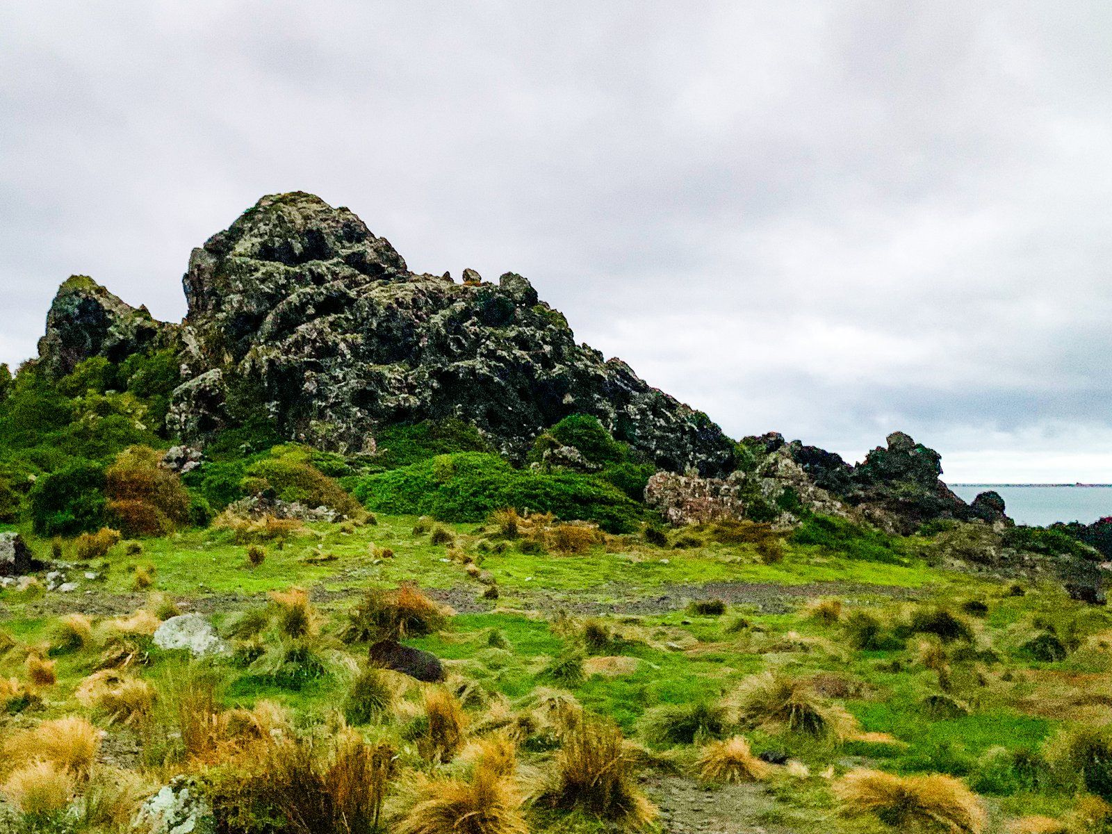
This process is highlighted by Te Ure o Kupe (the penis of Kupe), and what Europeans more politely named Kupe’s Sail. In fairness, the processes of uplift and erosion have carved this rock formation into a triangular sail shape. Either way, this remarkable rock pays homage to the Polynesian discoverer of Aotearoa.
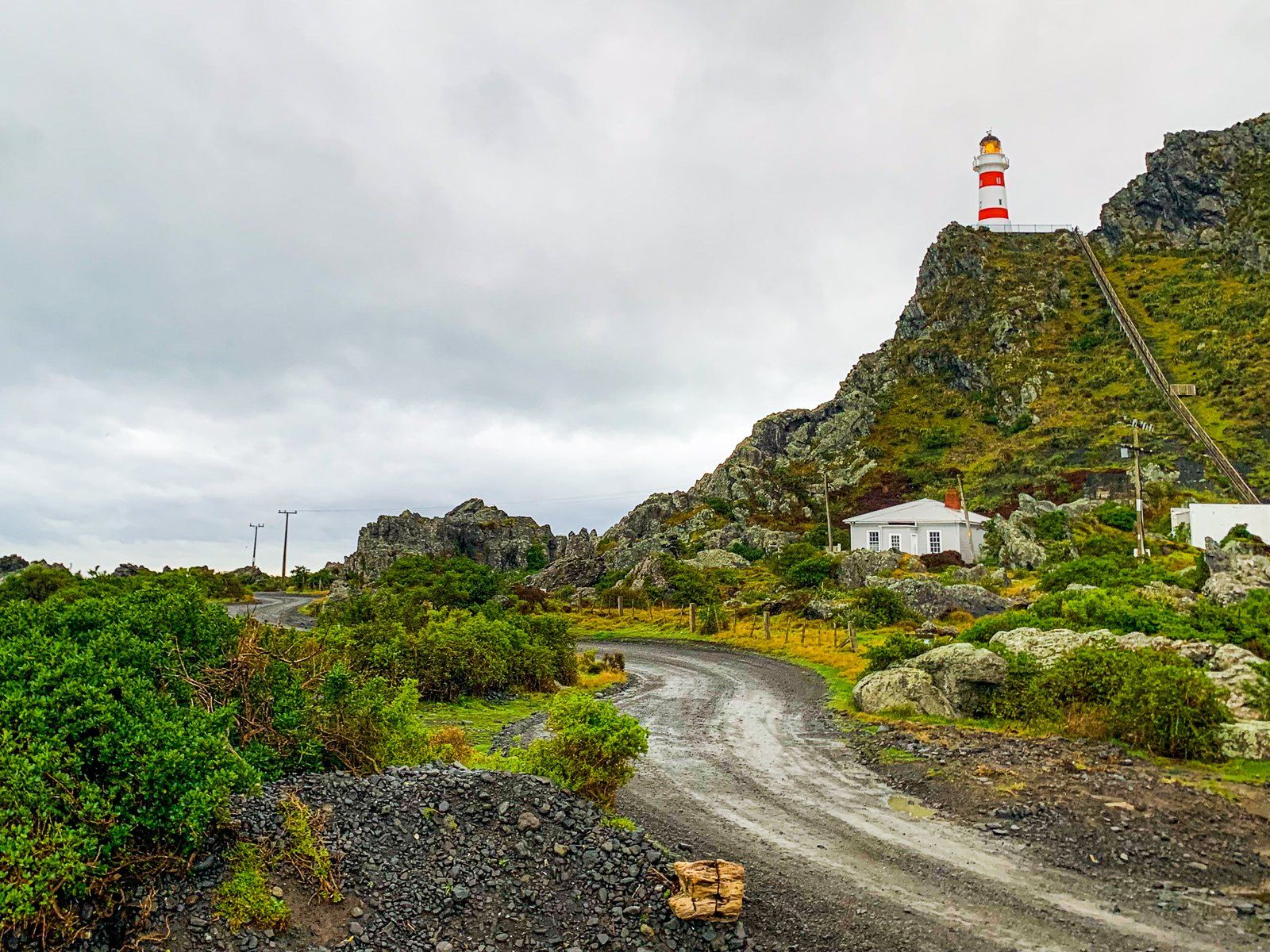
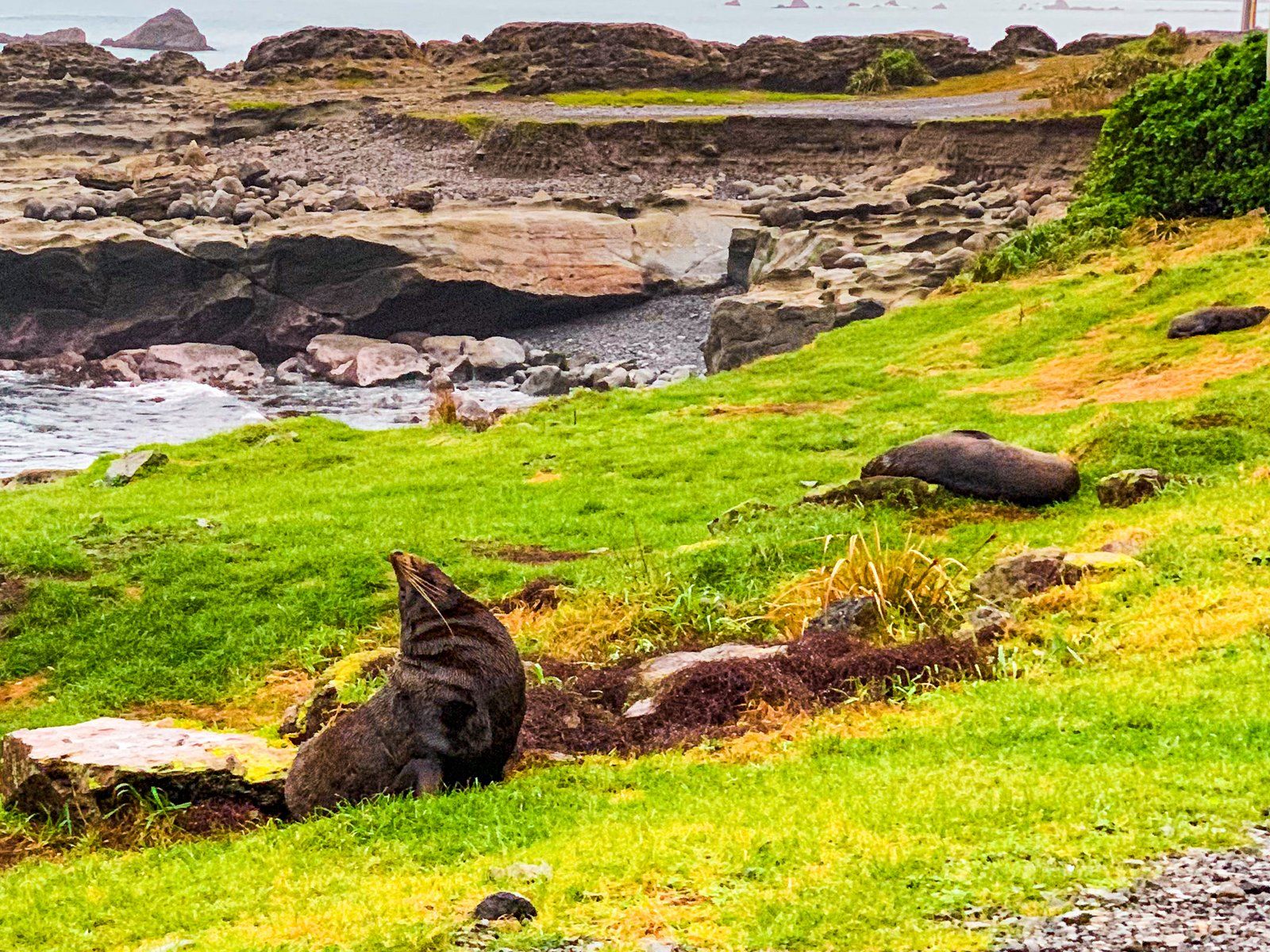
Entering Matakitaki-a-Kupe Reserve
As you approach Cape Palliser, the road becomes gravel as you enter Matakitaki-a-Kupe Reserve. This translates as the “gazing place of Kupe” and is part of a longer reference to "the gazing of Kupe towards Kaikōura, the place where the daughter of Kupe had gone".
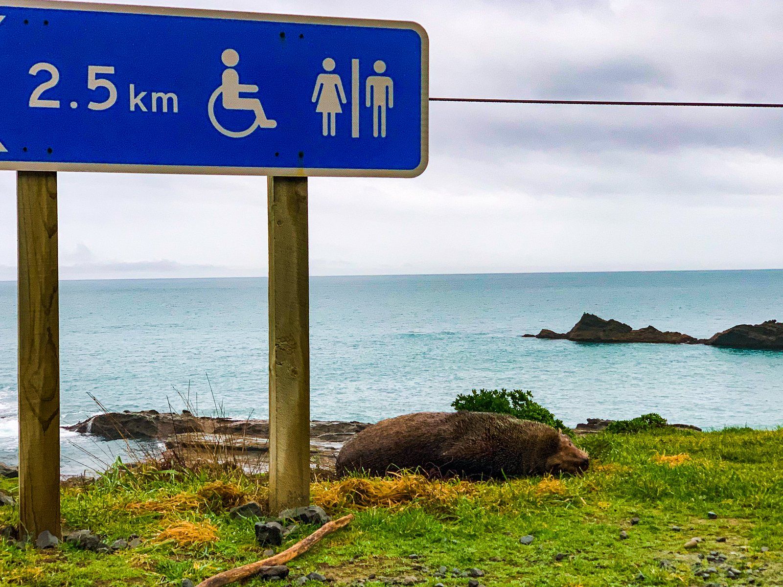
The reserve is home to the largest permanent seal colony in the North Island. The seals here are kekeno (fur seals) and can be seen lingering right up to the side of the road. Drive slowly and carefully to the car park below the lighthouse at the end of the road.
At the end of the road, you'll find a steep, stepped walk leading to the Cape Palliser Lighthouse, with superb views from the top.
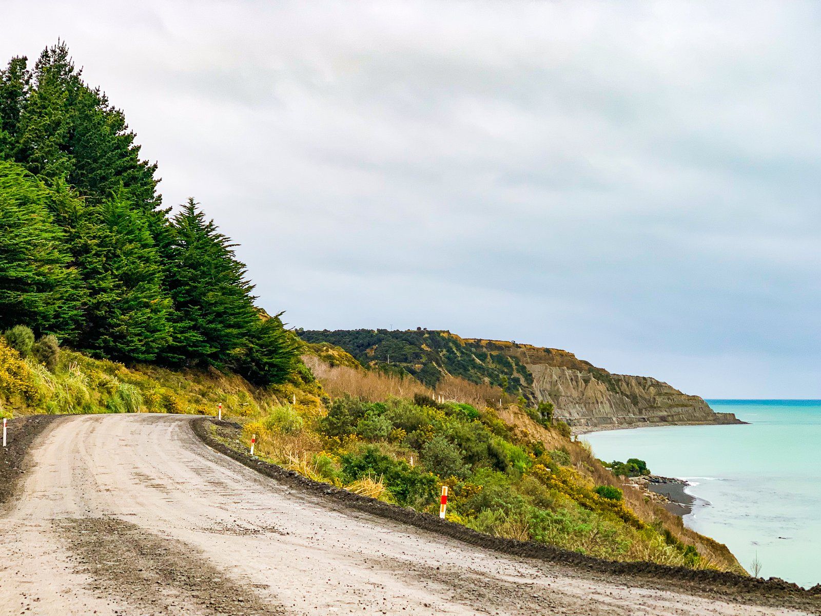
Note on Road Conditions
As you near the Cape, the road conditions become more challenging. There can be significant damage in some areas, and the sealed road may be restricted to a single lane in places. As you approach the cape and seal colony, the road transitions from sealed to pot-holed gravel, with fords and slippery mud in places. Despite this, you should be able to reach the cape in a 2WD vehicle.
Getting to Cape Palliser Road
To reach Cape Palliser Road from Martinborough, take Lake Ferry Road southwest towards Lake Ferry and Palliser Bay, then veer southeast onto Cape Palliser Road 4.5 km before Lake Ferry. The first part of the drive is 32 km and takes 26 minutes. From Wellington, the drive is 95 minutes and 105 km to teh start of Cape Palliser Road.
It takes 36 minutes to drive the 35 km length of Cape Palliser Road. Add at least 2 hours for walks and sightseeing.