Discovering Te Aumiti / French Pass
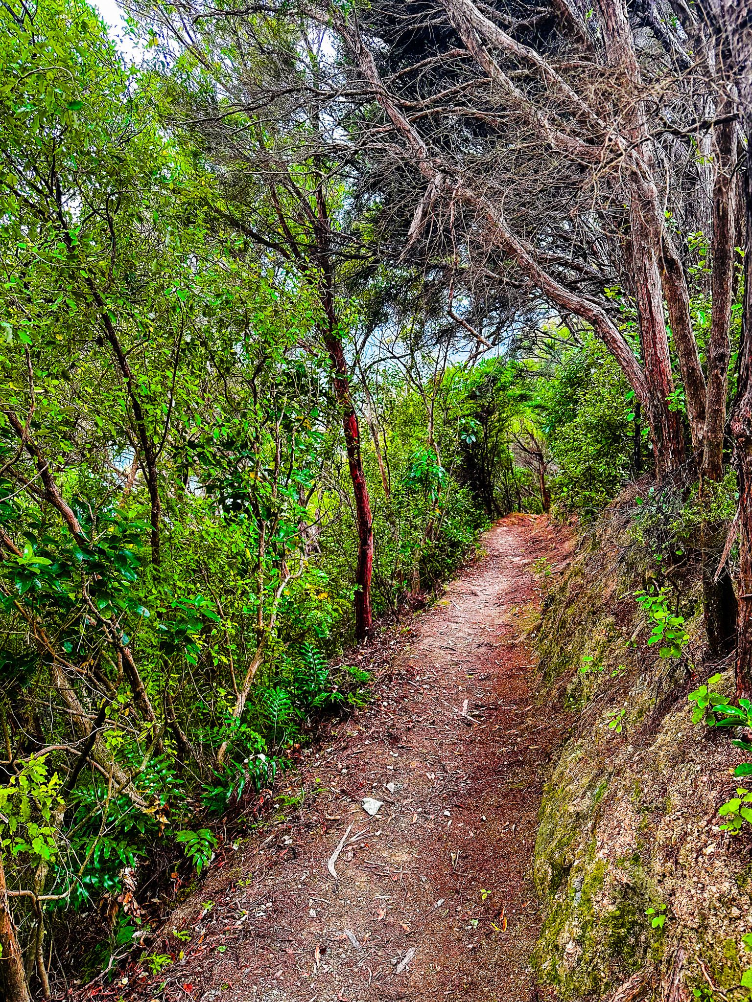
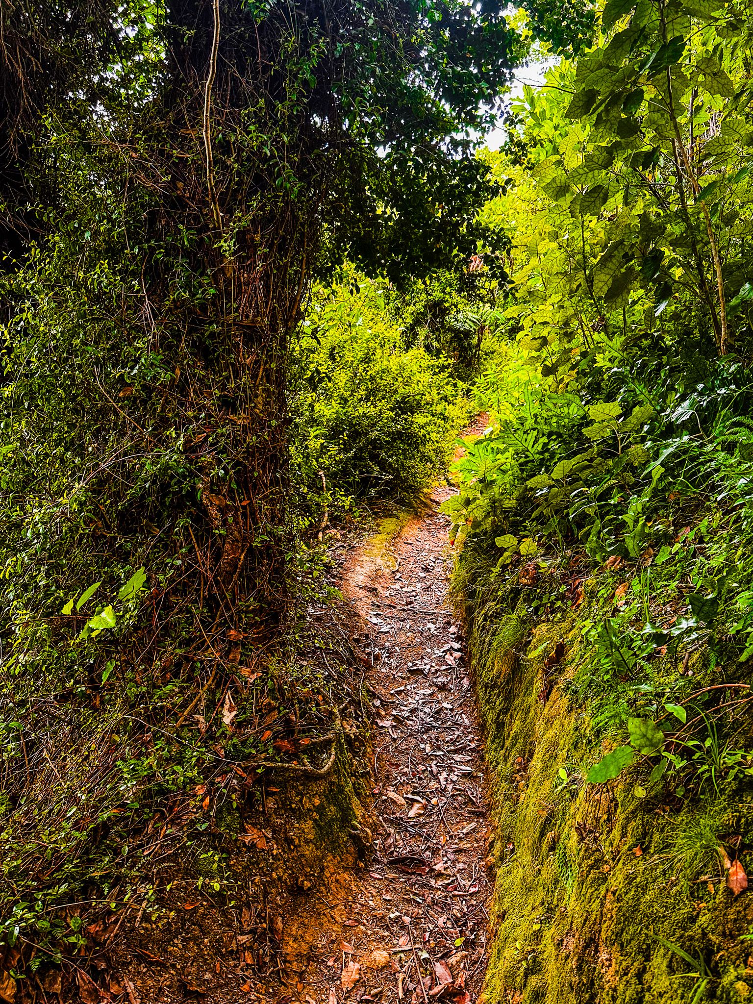
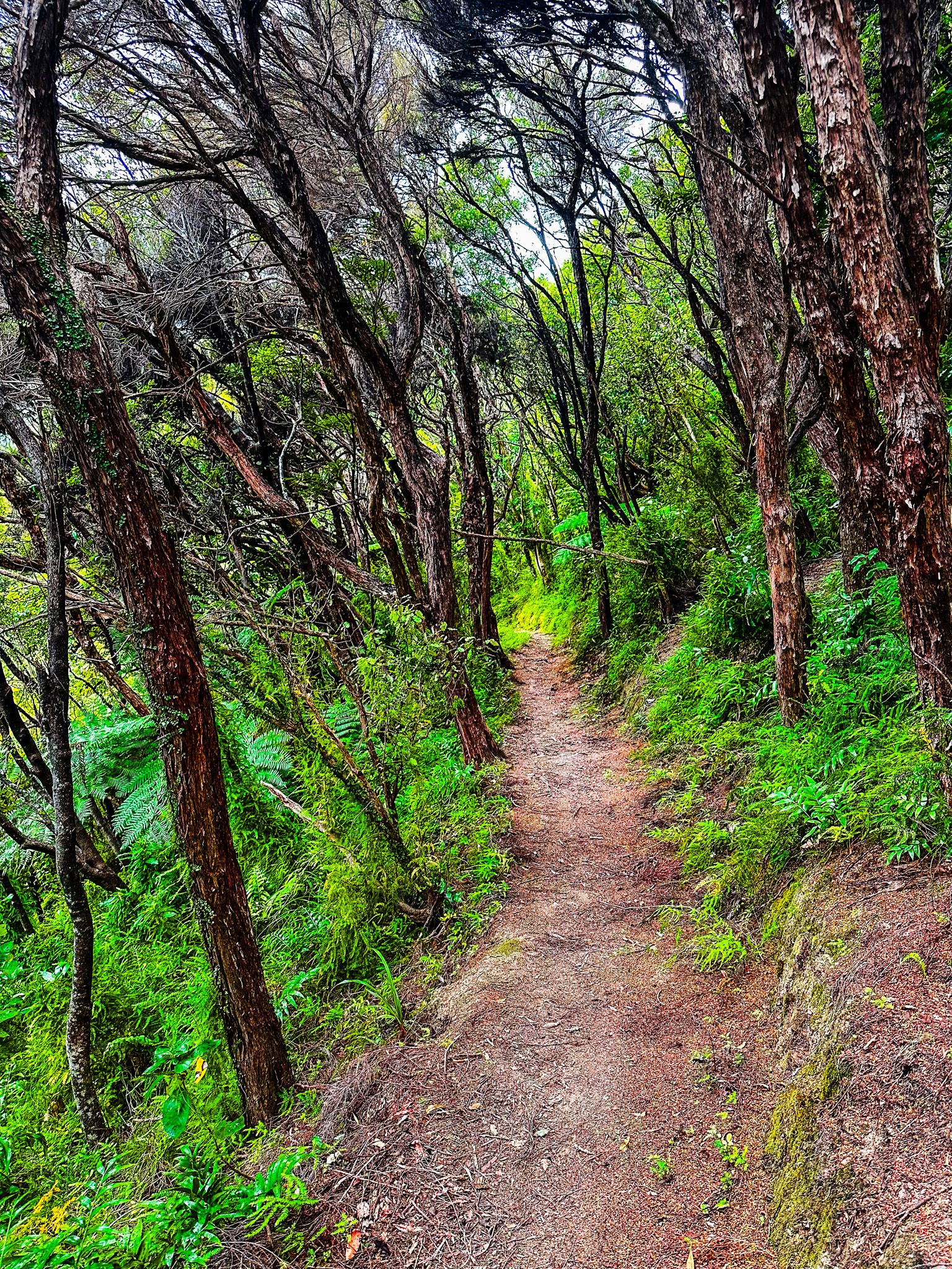
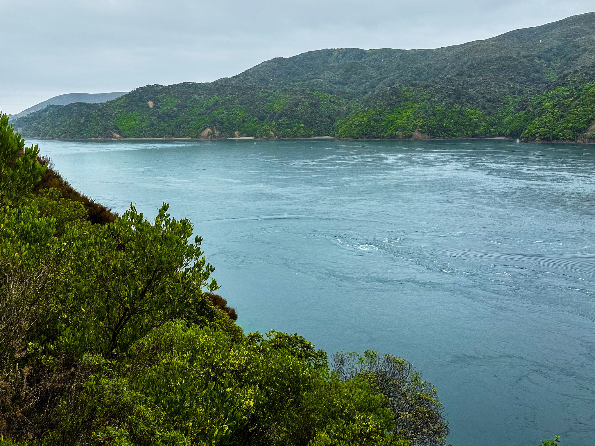
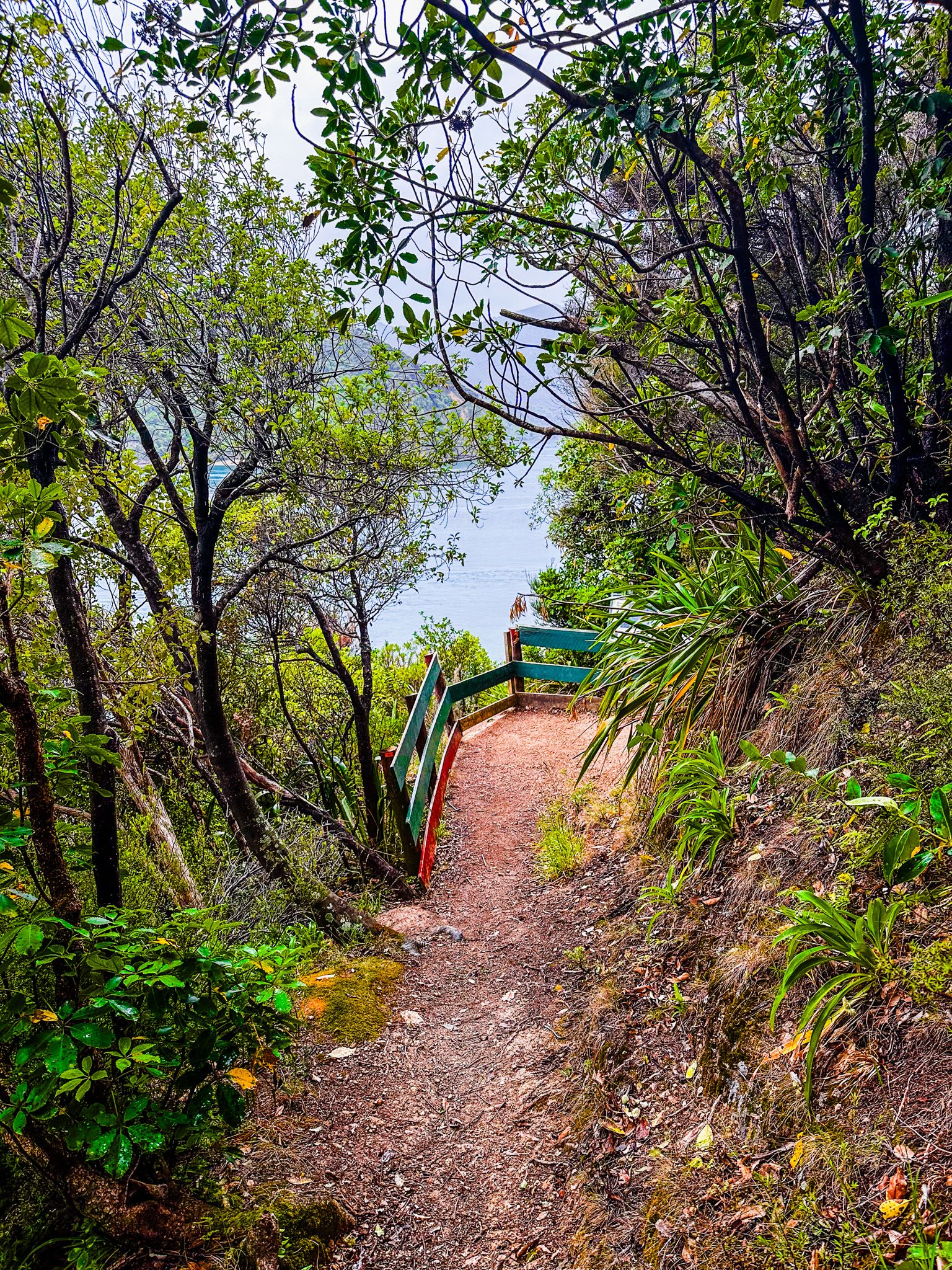
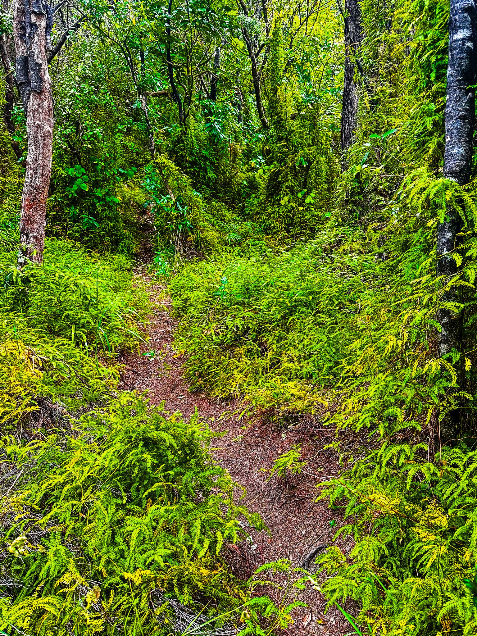
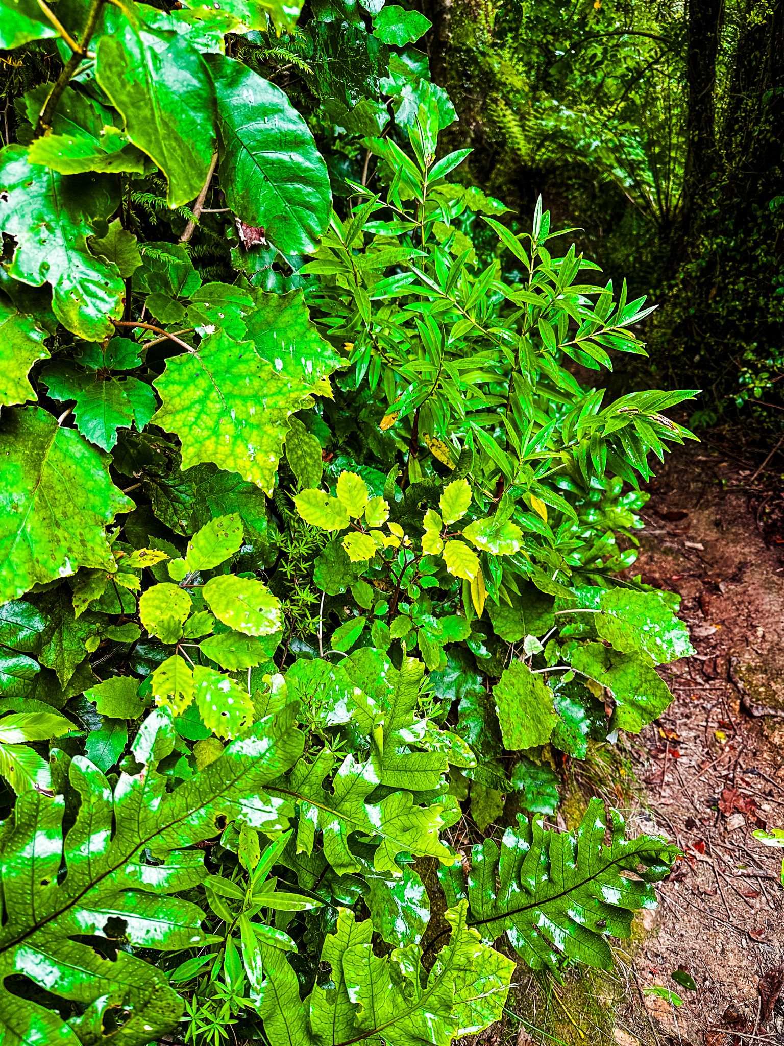
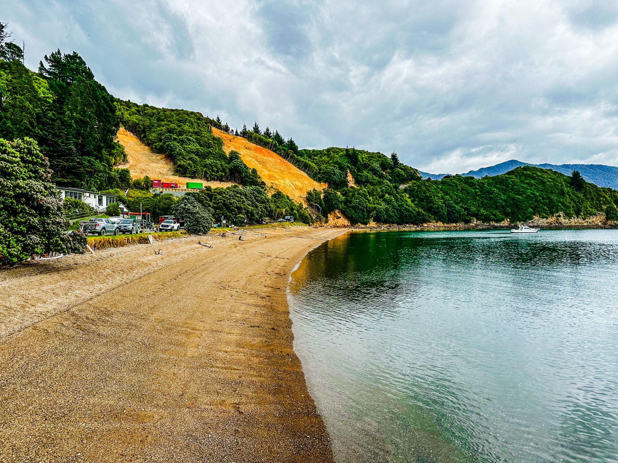
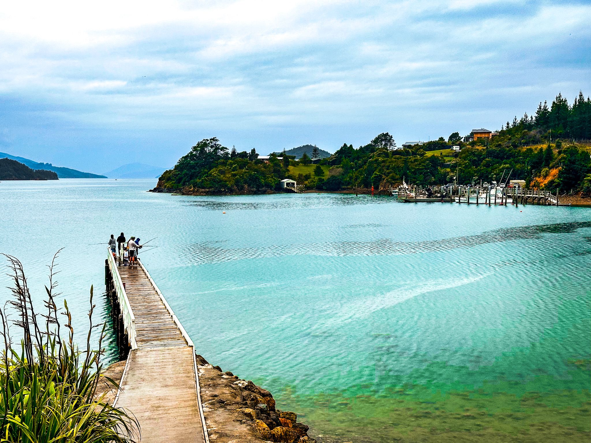
Located on French Pass Croisilles Road, the French Pass Lookout, near the township of French Pass / Anaur in the Marlborough Sounds, has a breathtaking view of Te Aumiti / French Pass, one of New Zealand's most visually striking and perilous waterways. The short track to the lookout leads you through a charming section of native coastal forest around Channel Point, culminating in a viewpoint directly above the pass. An additional 10-minute stroll leads to a small beach on the south side of Channel Point.
Navigating the Treacherous Waters
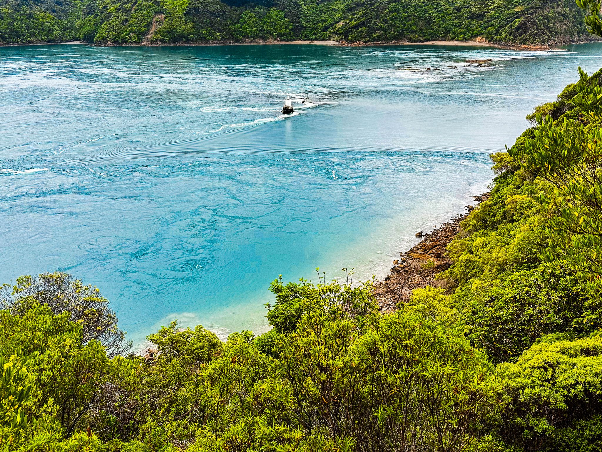
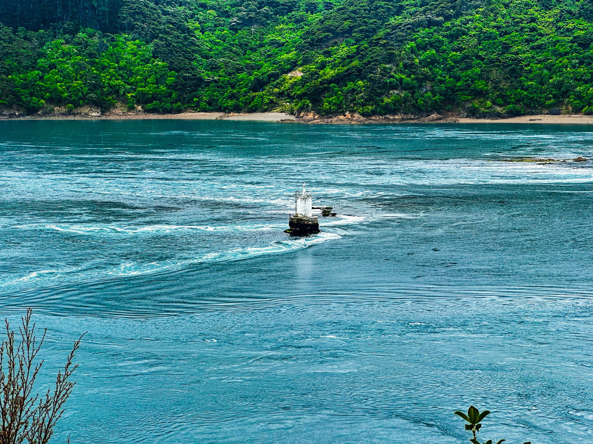
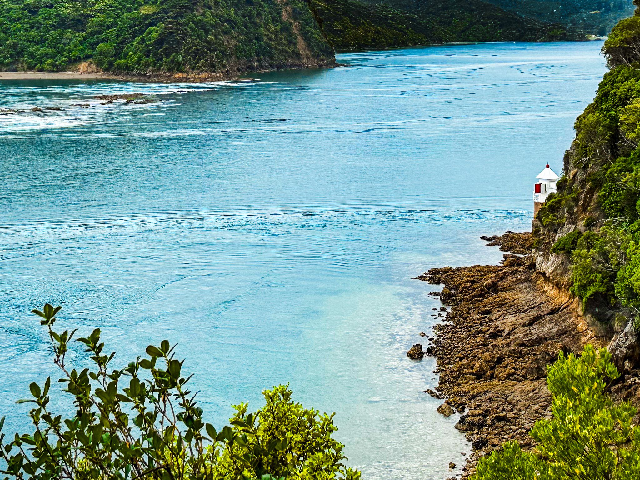
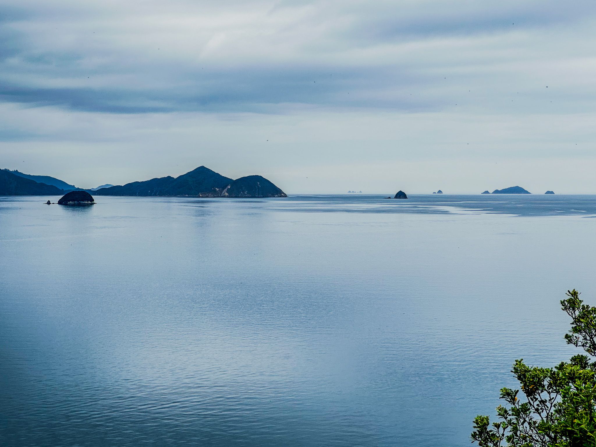
From the lookout, the formidable challenge of navigating a boat through the pass becomes evident. The pass narrows to just 100 metres between Channel Point and Rangitoto ki te Tonga / D’Urville Island. Of this, 80 metres is obstructed by a broken reef known as Te Kawau-a-Toru. To the northeast lies Admiralty Bay, while to the southwest, the Current Basin opens into Tasman Bay / Te Tai-o-Aorere.
The tidal rip in this area is visible and can reach speeds of up to 15 km per hour. Whirlpools, formed over large seabed holes, pose additional dangers and have claimed the lives of divers. Small lighthouses mark the end of the reef and the right of the viewpoint, highlighting the challenges faced in constructing these structures in the 1800s.
Mythology and History of Te Kawau-a-Toru
In Māori mythology, the reef Te Kawau-a-Toru is said to be the body of Kupe’s king shag. Kupe, the legendary Polynesian explorer, encountered and fought a giant wheke (octopus) while exploring Cook Strait. The battle created the rugged peaks and troughs of the Marlborough Sounds. The king shag guided Kupe to Te Aumiti, but was tragically caught in the rip, breaking a wing and drowning. It is unclear whether Kupe attempted the pass after this event!
In 1827, Admiral Jules Dumont d'Urville, commanding the corvette Astrolabe, became the first European to navigate the pass, hence the name French Pass. His journey was fraught with difficulty, as the ship swung sideways, struck rocks twice, and was washed over the reef into Admiralty Bay, yet survived. Despite his harrowing experience and advice against attempting the pass, it became a crucial shortcut, reducing sailing time between Pelorus Sound and Tasman Bay. The risk level varies with the (predictable) tidal flow, so seamen were able to manage better.
How to Get There
To reach the French Pass Lookout Track from State Highway 6 in the Rai Valley, take Ronga Road, which becomes Croisilles Road, then French Pass Croisilles Road all the way to the signposted track and lookout. This is a long, winding drive with the last part on a gravel road. The track begins here and leads you through native coastal forest to the viewpoint above the pass. It takes 100 minutes and is 60 km.
Along the way, you can stop and explore Ōkiwi Bay and Elaine Bay. Near the lookout, there is another viewpoint at Collinet Point. From the end of the road at the township of French Pass / Anaur, you can also take a ferry to D'Urville Island.