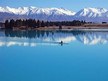
Discovering Hopkins Valley
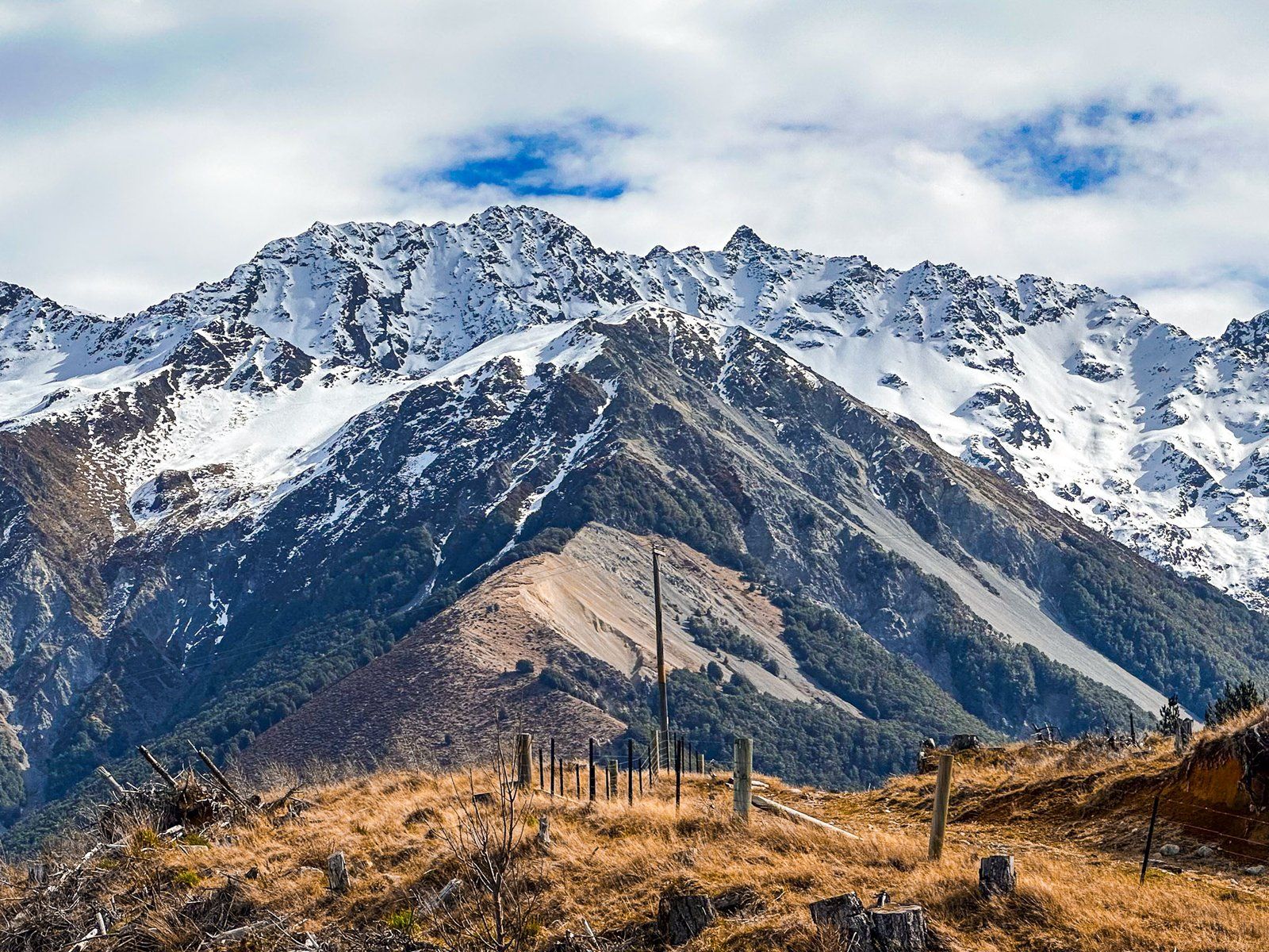
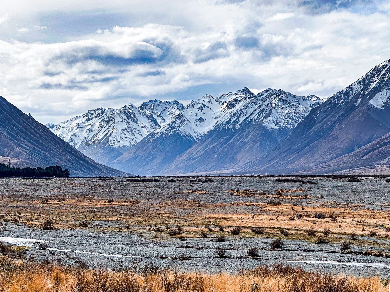
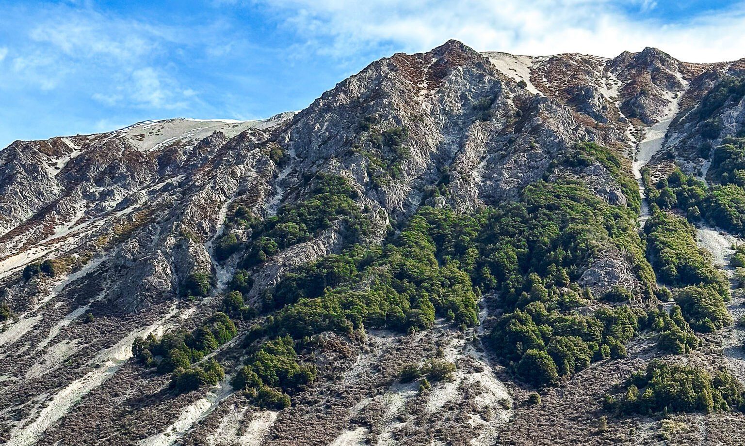
Hopkins Valley is a striking post-glacial braided river valley located at the head of Lake Ōhau in South Canterbury in the South Island. Stretching up to four kilometres wide, the valley runs almost due north for approximately 12 kilometres before splitting into the Dobson Valley and River to the east of the Naumann Range, and the Hopkins Valley and River to the west. This area is ideal for those seeking both short and multi-day remote hiking and tramping adventures amidst stunning alpine scenery.
The Role of the Hopkins in Ara Tawhito
Te Tarahaka, the traditional name for Brodrick Pass at 1,640 metres, between the Huxley Valley and Landsborough Valley, means “the thief’s path” and refers to inter-iwi tensions over access to pounamu trails. This alpine route, connecting the Hopkins and Huxley Valleys to the West Coast, formed part of a vital ara tawhito (traditional travel route) used by Ngāi Tahu iwi. Māori travelled these valleys seasonally to access pounamu, tuna (eels), and harakeke, navigating through challenging alpine terrain long before European arrival.
Arrival of Europeans in the Hopkins
The Hopkins River was named by the explorer Julius von Haast in the 1860s during his geological surveys of the Southern Alps. The name was in honour of William Hopkins, an English mathematician and geologist who was influential in the study of glaciation and geology.
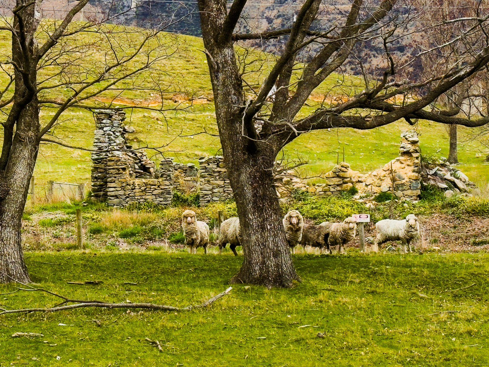
In the mid-19th century, European settlers established extensive sheep runs across the valley’s glacial plains, taking advantage of the natural grasslands and alpine terraces. Stations like Huxley and Glen Lyon became some of the most remote and rugged in the country, relying on seasonal mustering and packhorses to manage flocks of sheep. Today, Huxley provides horse trekking, and Glen Lyon supports hunters, in addition to pastoral farming.
In more recent decades, parts of the valley were incorporated into the Ruataniwha Conservation Park, a public conservation area established to protect the region’s unique mix of braided rivers, alpine ecosystems, and backcountry recreation.
Exploring the Valley and Its Trails
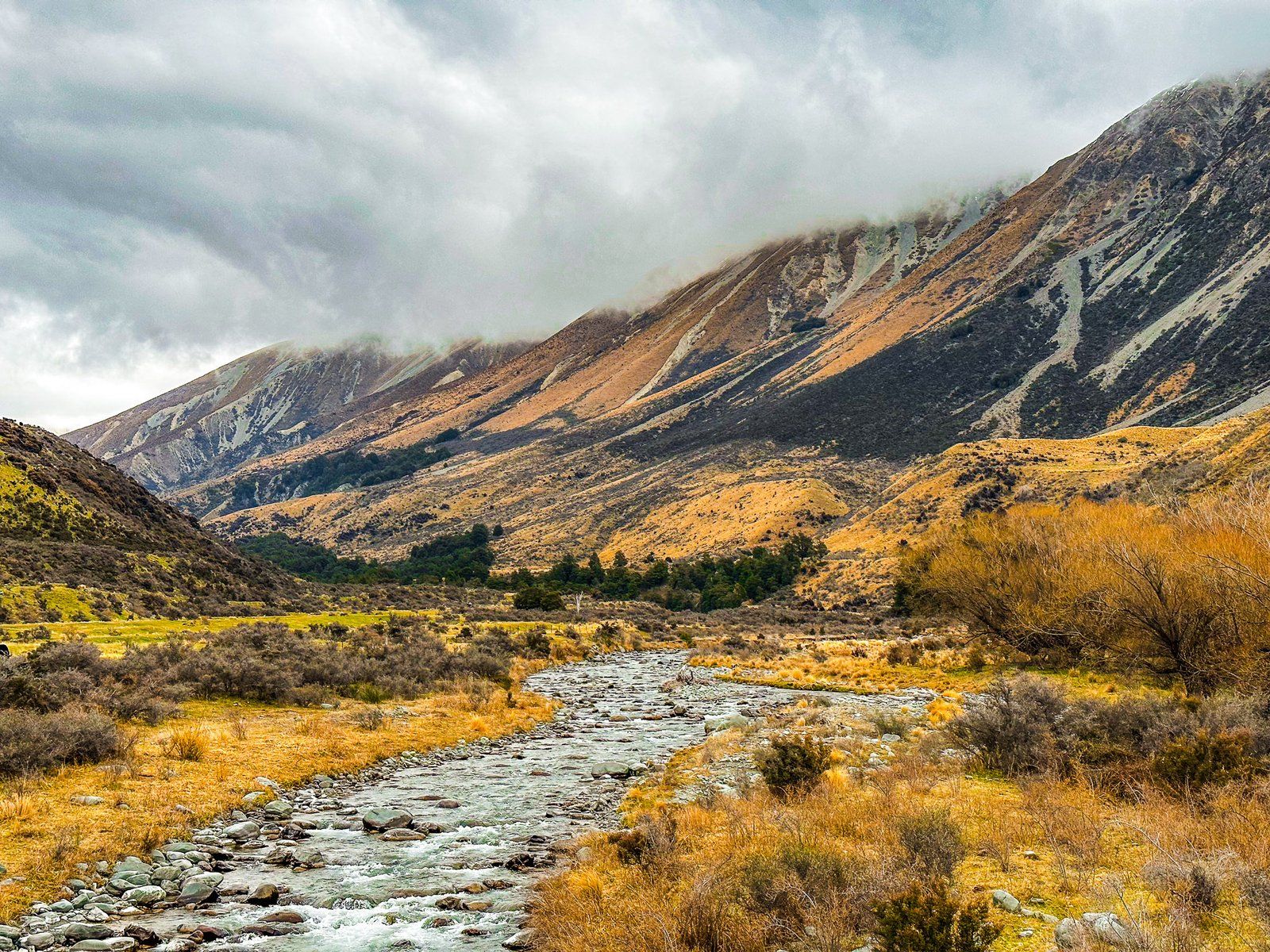
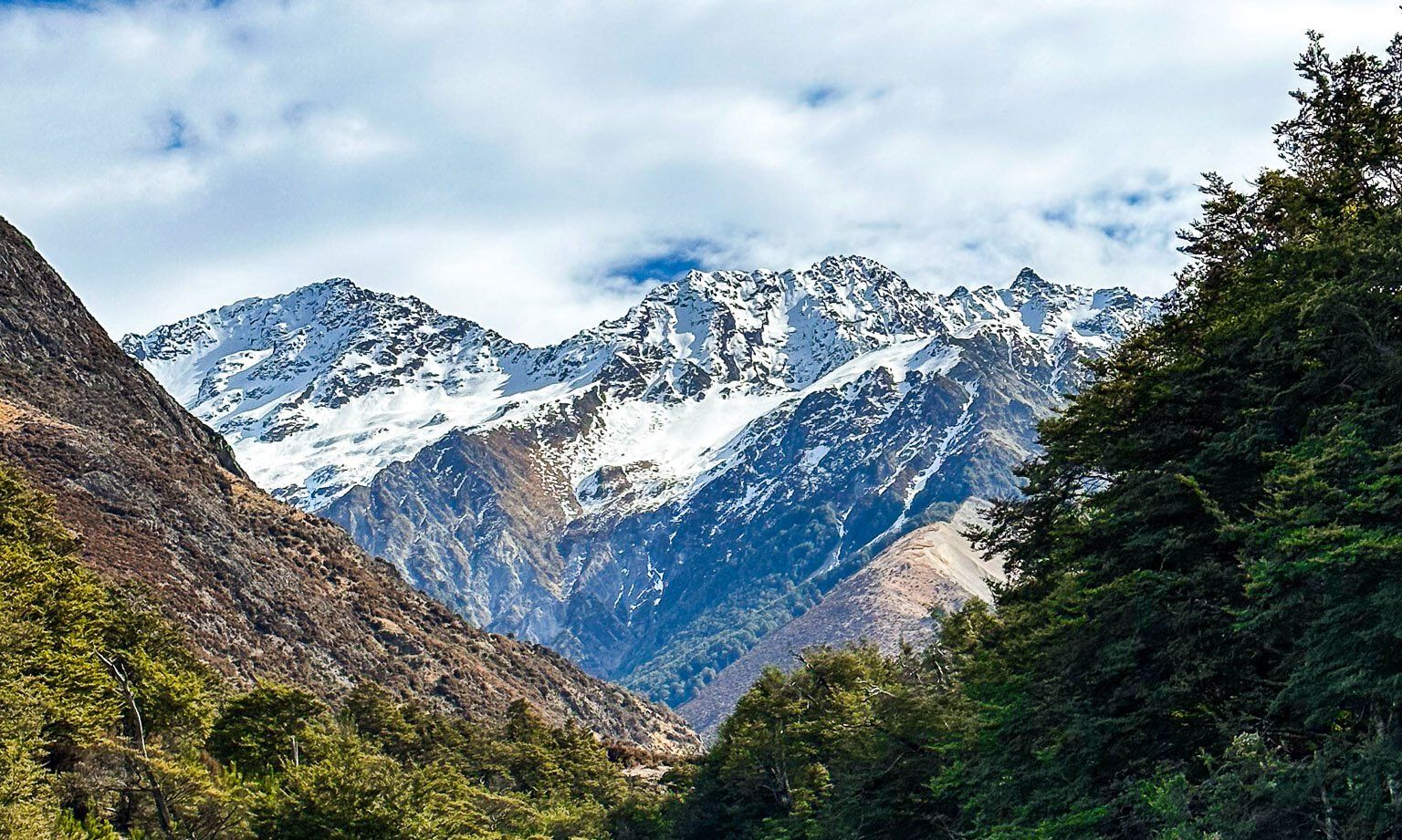
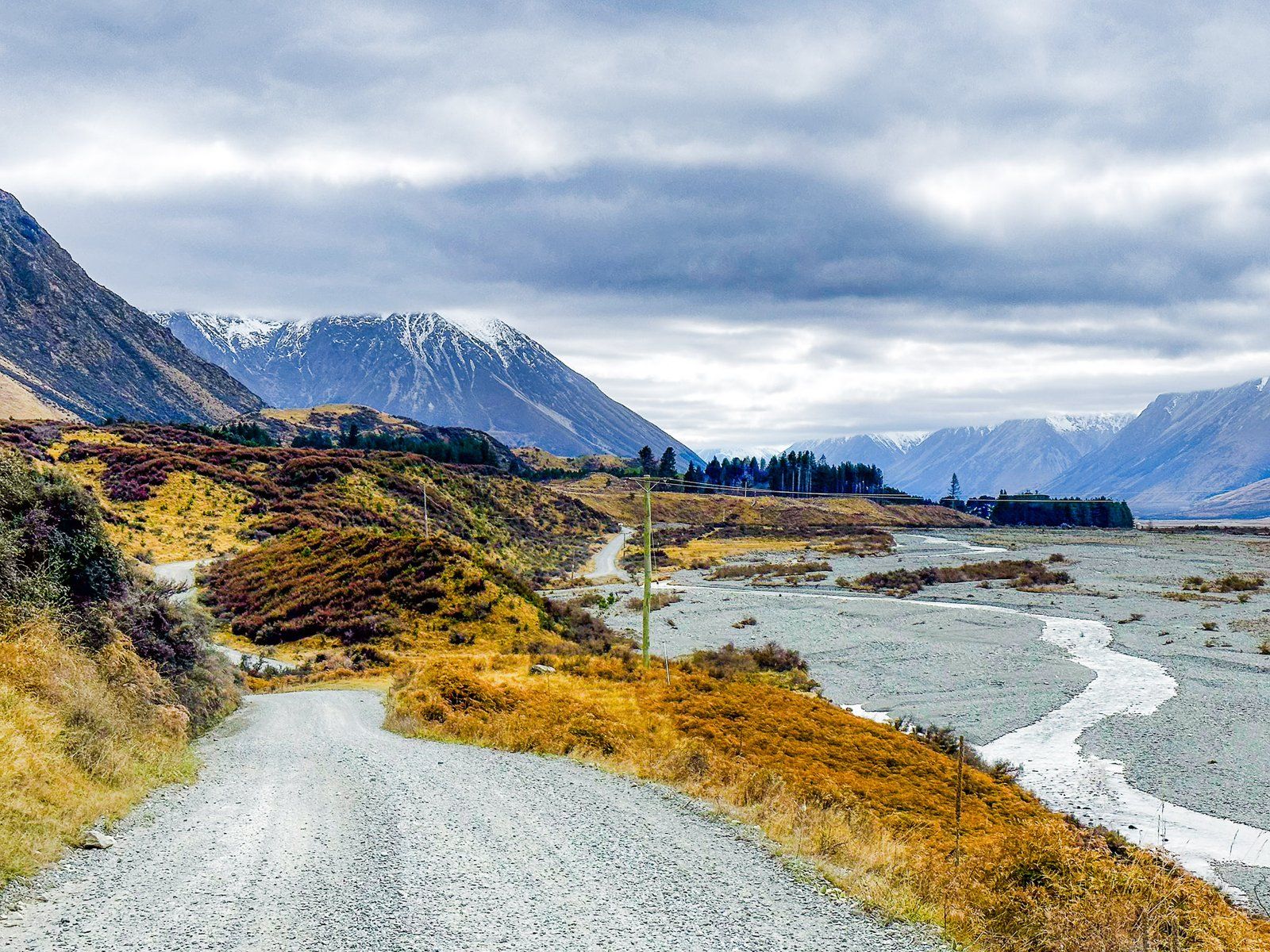
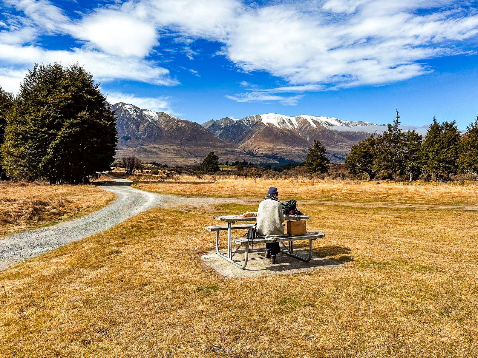
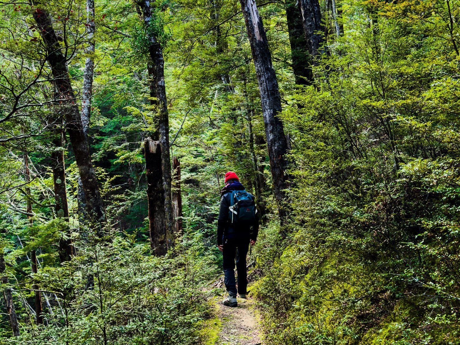
Access to the Hopkins Valley is via the metal Lake Ōhau Road, which extends into the valley for about 21 kilometres. This road provides entry to various hiking trails in the Hopkins, Temple, and Huxley Valleys. These include the South and North Temple Tracks, the Temple Viewpoint Track, the Hopkins Track from the end of the road and the Huxley Valley Track. These tracks take you into remote backcountry, beyond the sheep stations to the Ruataniwha Conservation Park.
Remote Huts and Hiking Routes
The Department of Conservation (DOC) maintains campsites and huts throughout these valleys. Notable huts include Monument Hut, Red Hut, Elcho Hut, Dodger Hut, and Erceg Hut. Reaching Erceg Hut involves a hike of about 32 kilometres, bringing you close to the towering 2,000+ metre peaks of the Main Divide, with Mount McKerrow standing at 2,650 metres.
How to Get There
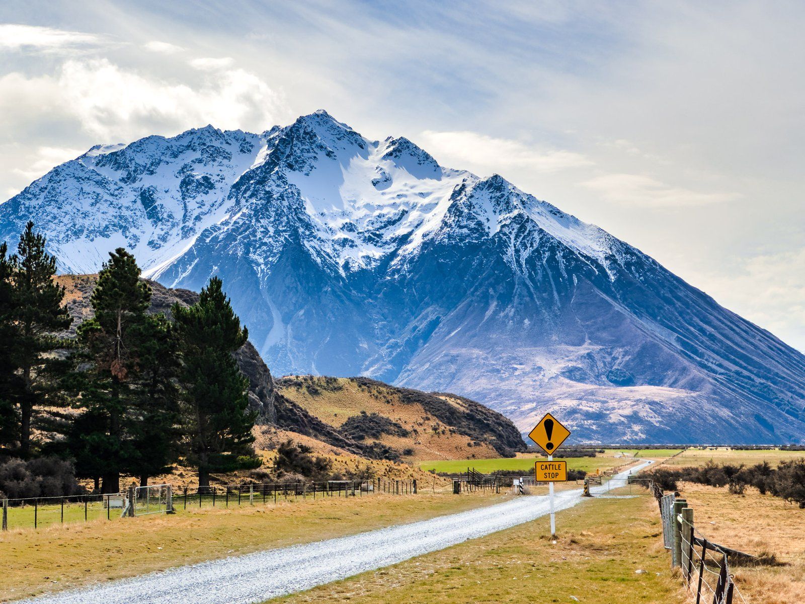
From State Highway 8 between Lake Ruataniwha and Omarama, take Lake Ōhau Road northwest to the lake. The road continues around the west side of the lake, becoming a gravel road after Lake Ohau Lodge. Continue into the valley to the end of the road. The drive takes 50 minutes from Twizel and is 52 km.
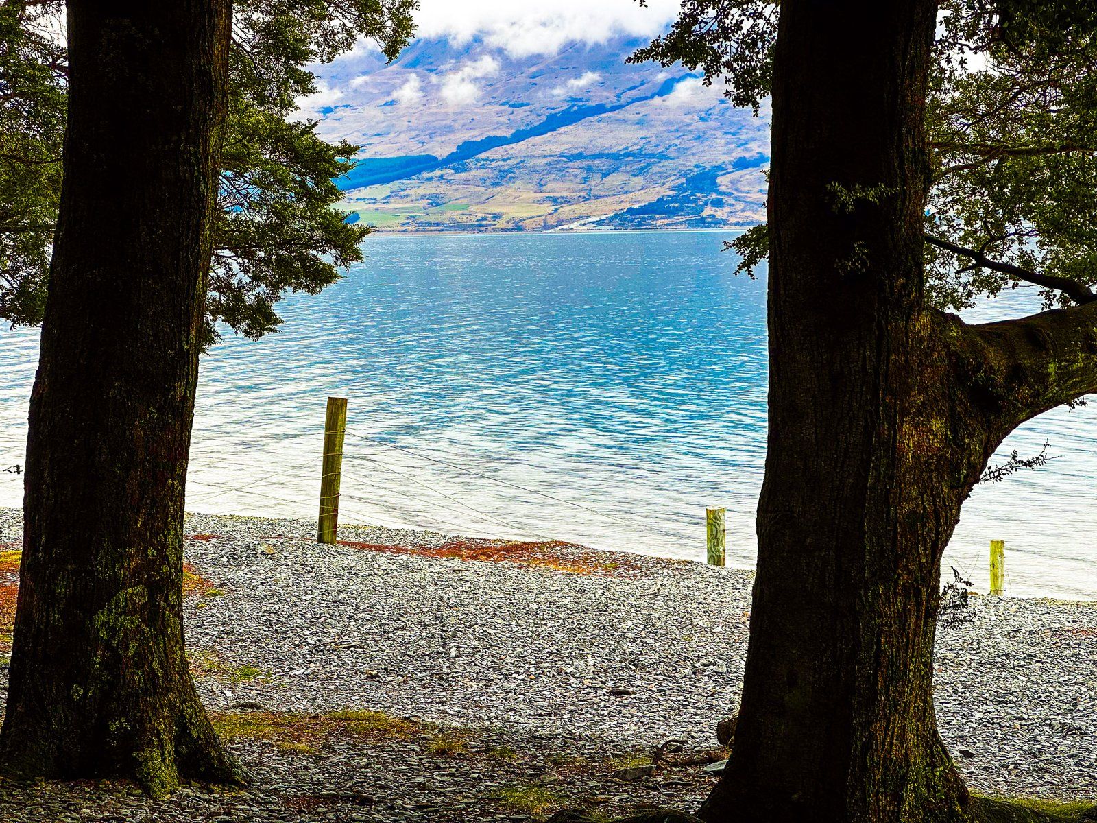
Around Lake Ōhau, you can also explore Lake Middleton, the Lake Ōhau Track and the Tarnbrae Track. These two tracks are also part of the Alps 2 Ocean Cycle Trail and Te Araroa.