Exploring the Karamea Highway
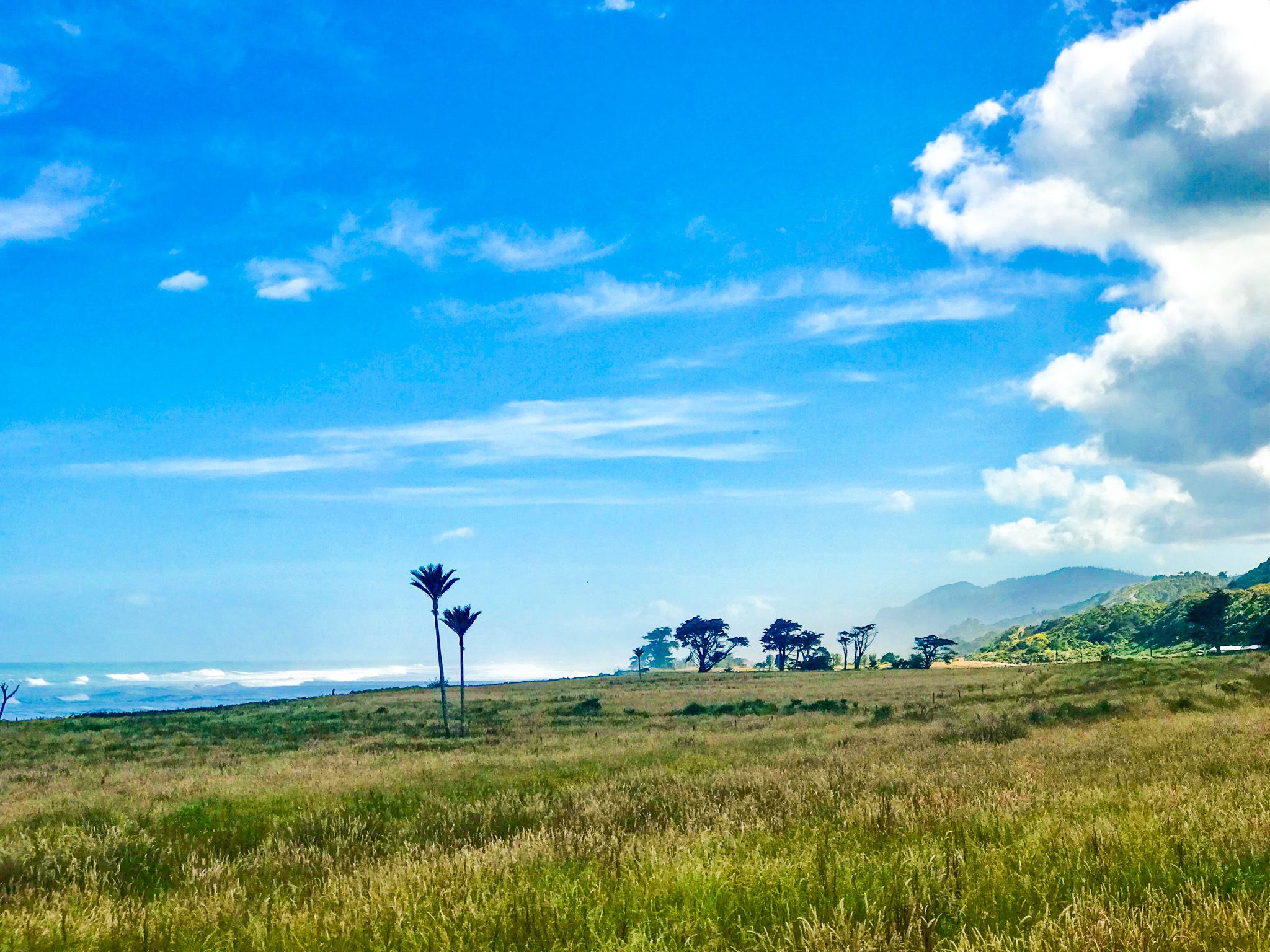
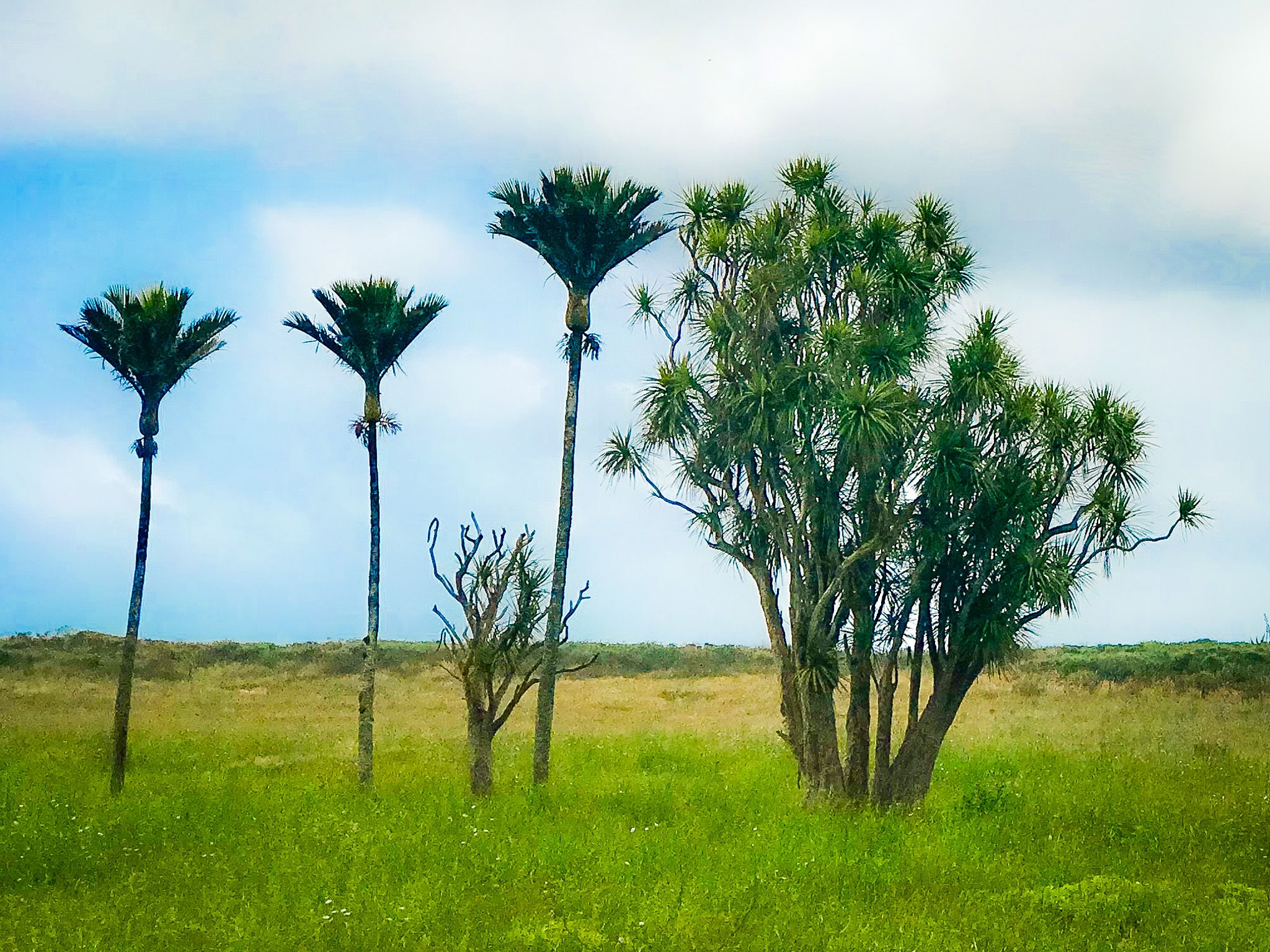
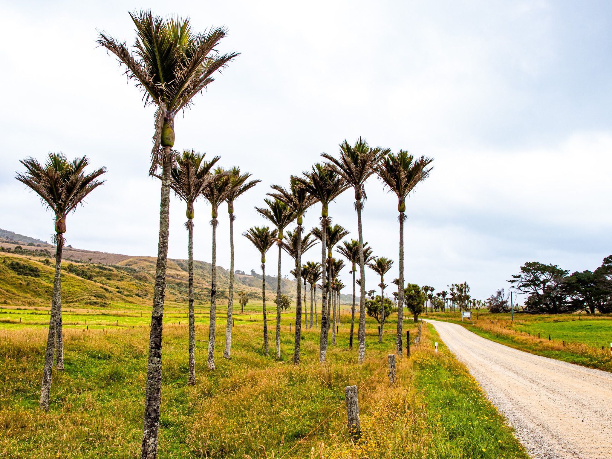
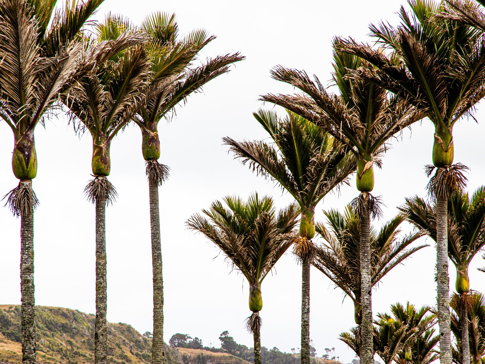
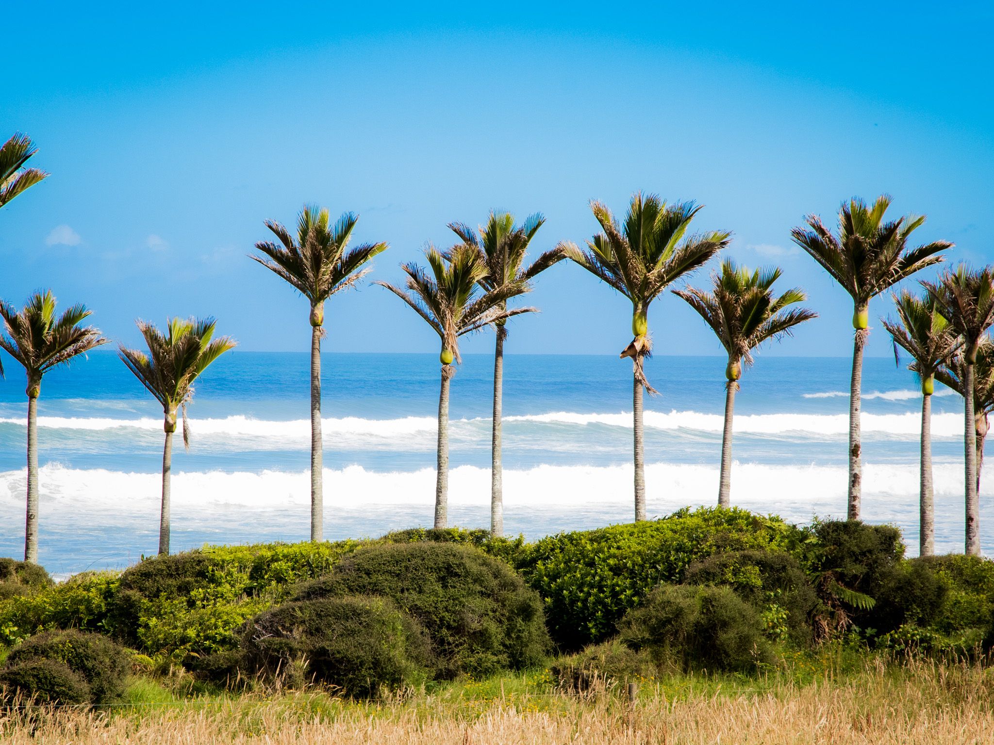
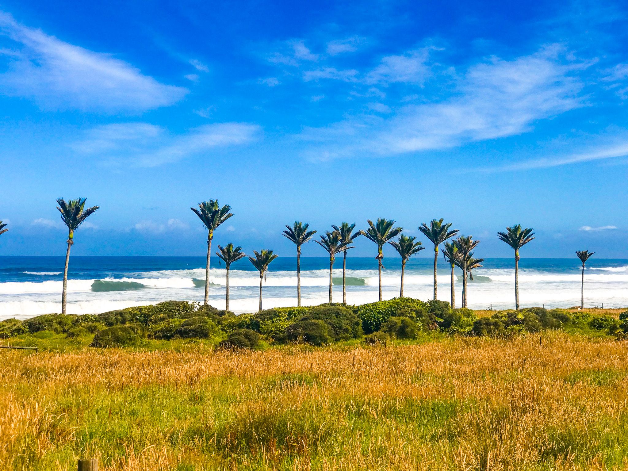
The northern West Coast of the South Island is home to the Karamea Highway, a route known for its striking nikau palms. These palms are among the most southerly in the world and are notable for their slow growth. It takes about 20 years for them to form the initial trunk, and they can reach heights of 10 to 15 metres over a century. Seeing a cluster of these old palms in bloom or adorned with berries is truly impressive.
Scenic Views and Natural Landmarks
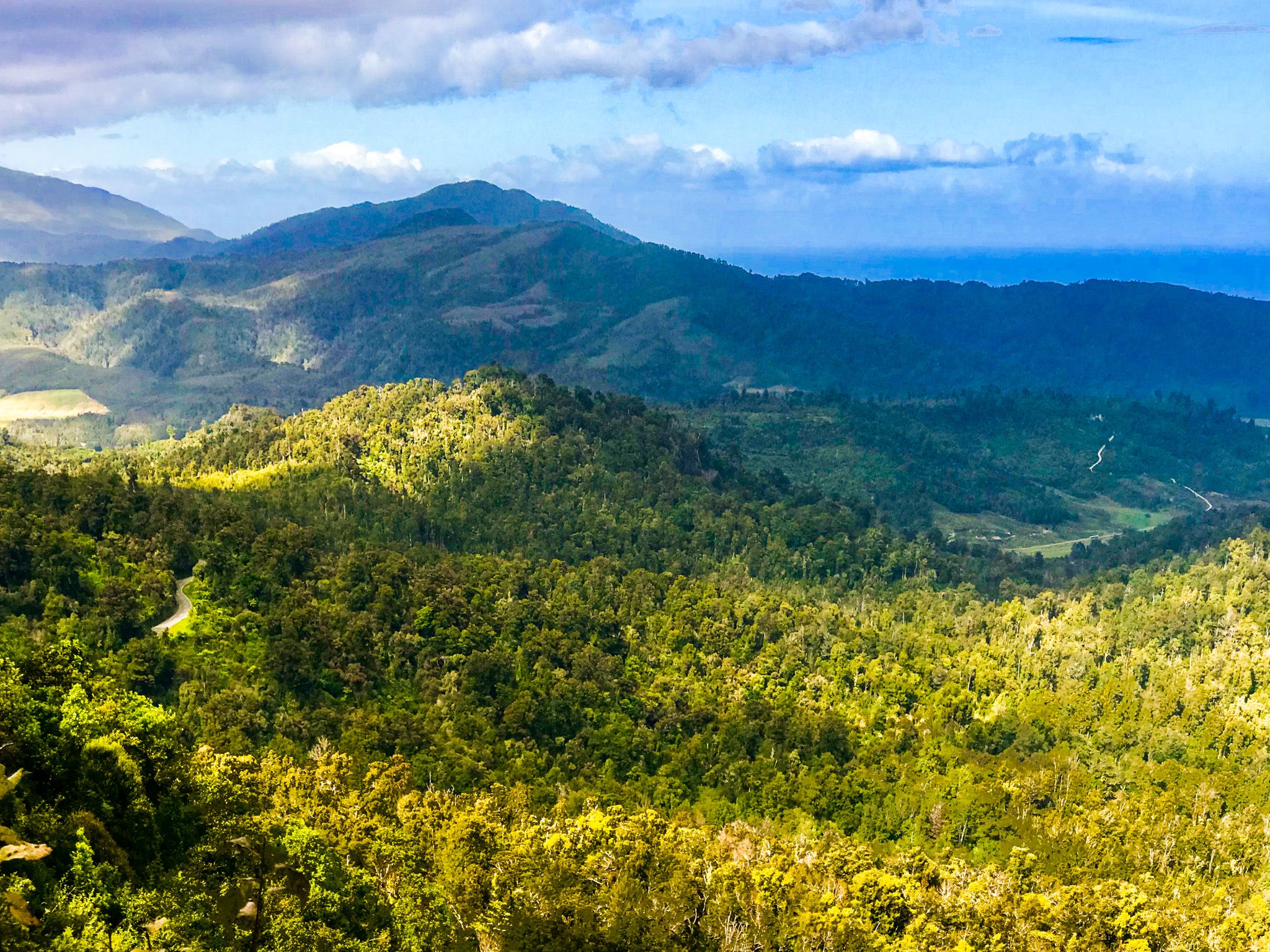
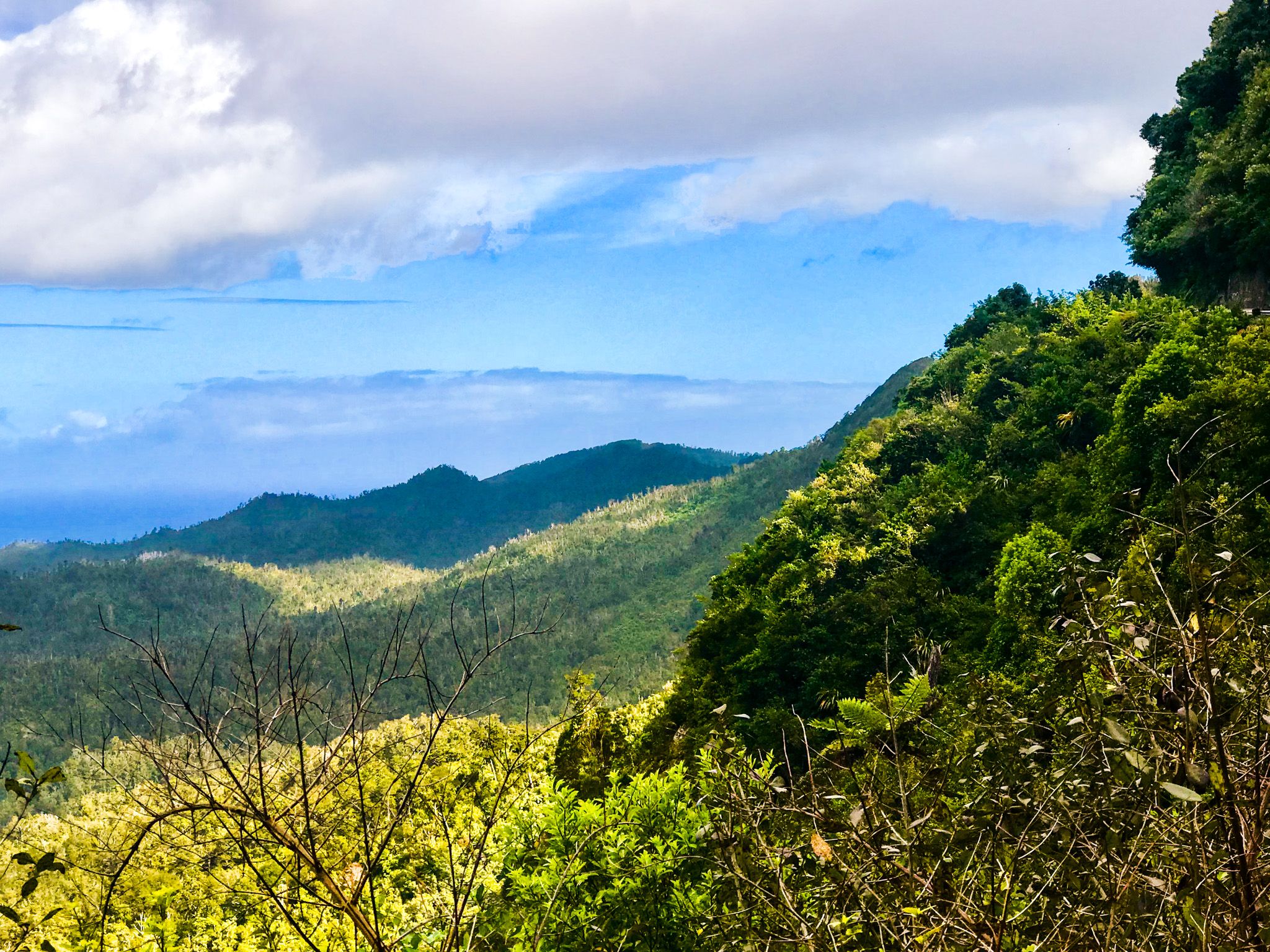
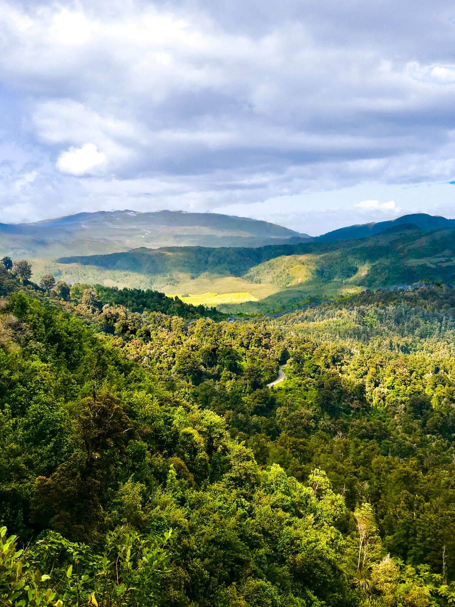
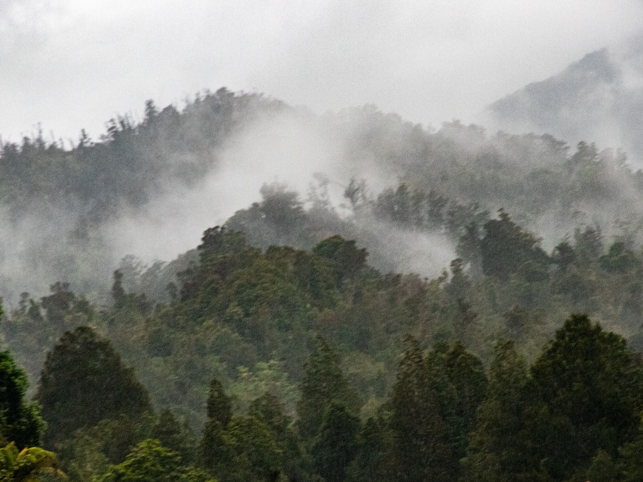
As you travel halfway along the road to Karamea, you'll encounter a winding climbing section that crosses the Karamea Bluffs at View Point Saddle at 420 metres above sea level, set against the backdrop of the steep-sided 1,000 metre high Radiant Range. The bluffs are a very scenic spot, and there is a wide verge to pull over and take in the view. On the north face of the range, you might notice a natural formation that resembles a reclining man, adding a touch of intrigue to the landscape.
The bluffs are formed from ancient granite and gneiss bedrock and are part of the backbone of the Kahurangi National Park, marking the northern extent of the West Coast’s uplifted mountains. The bluffs tower above the surrounding countryside for a dramatic contrast between hard rock and rainforest.
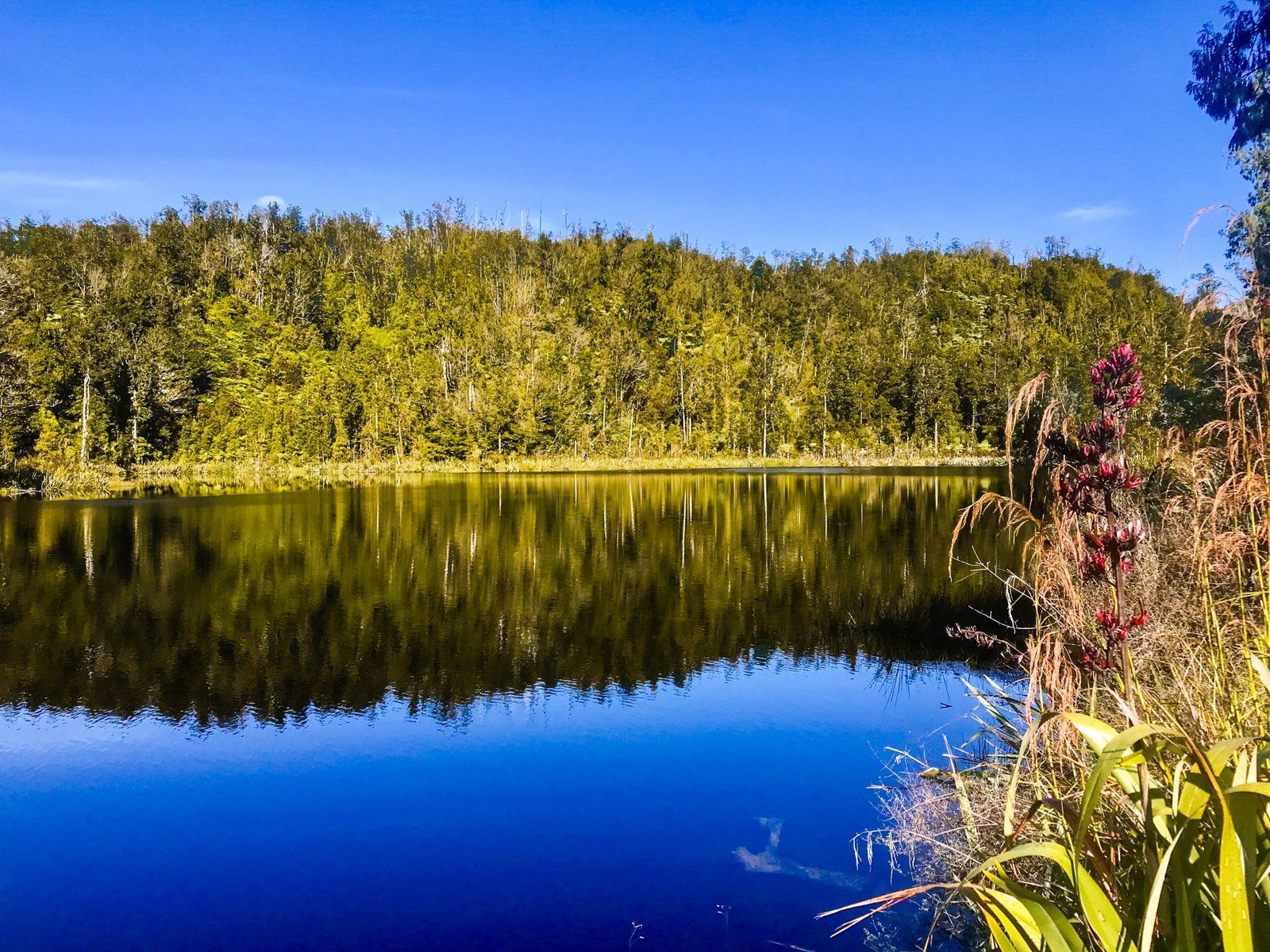
As you head beyond the bluffs, you can also take a short walk to attractive and remote Lake Hanlon, a small lake surrounded by forest.
How to Get There
The Karamea Highway starts at the end of State Highway 67 at the Mohikinui River bridge. From Westport, it takes 38 minutes to drive the 45 km to the start of the road.
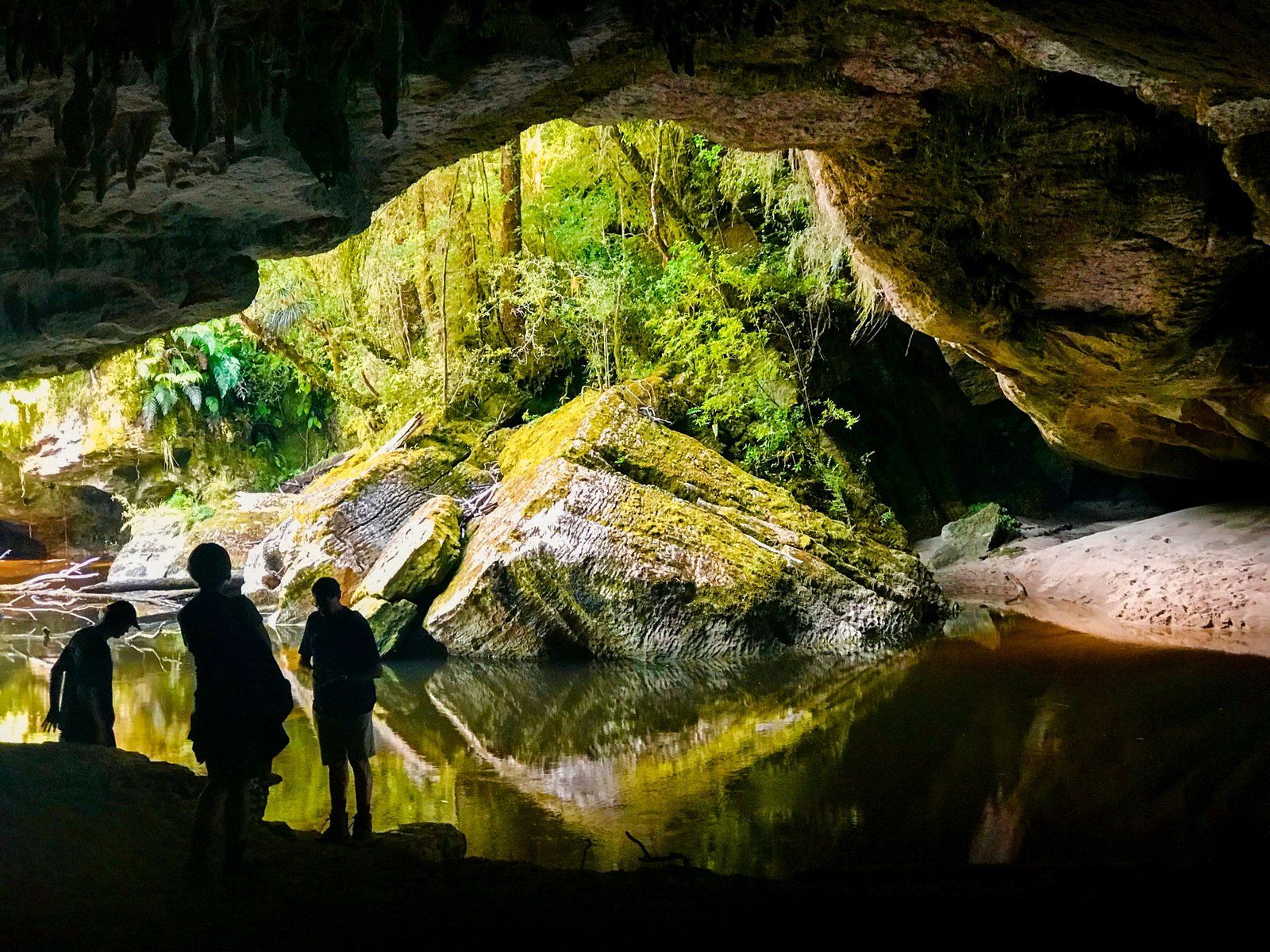
Along the way, you can also visit the Denniston Plateau. From Karamea, you will have access to the amazing rock arches and caves of Oparara and the Kohaihai at the end of the road.