Exploring Kauri Point Centennial Park
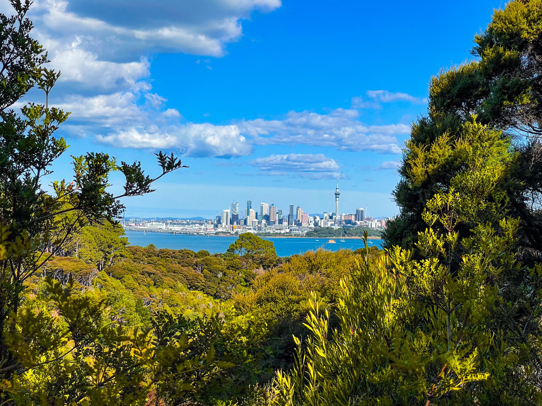
Located on the North Shore of Auckland, Kauri Point Centennial Park is a captivating destination for nature enthusiasts. The park features a coastal forest walk with kauri regrowth, with views of the Waitematā Harbour and Auckland's cityscape from Kauri Point / Te Mātārae ō Mana, a historic pā site. A visit to the park is incomplete without exploring the attractive sandy beach at Kendall Bay.
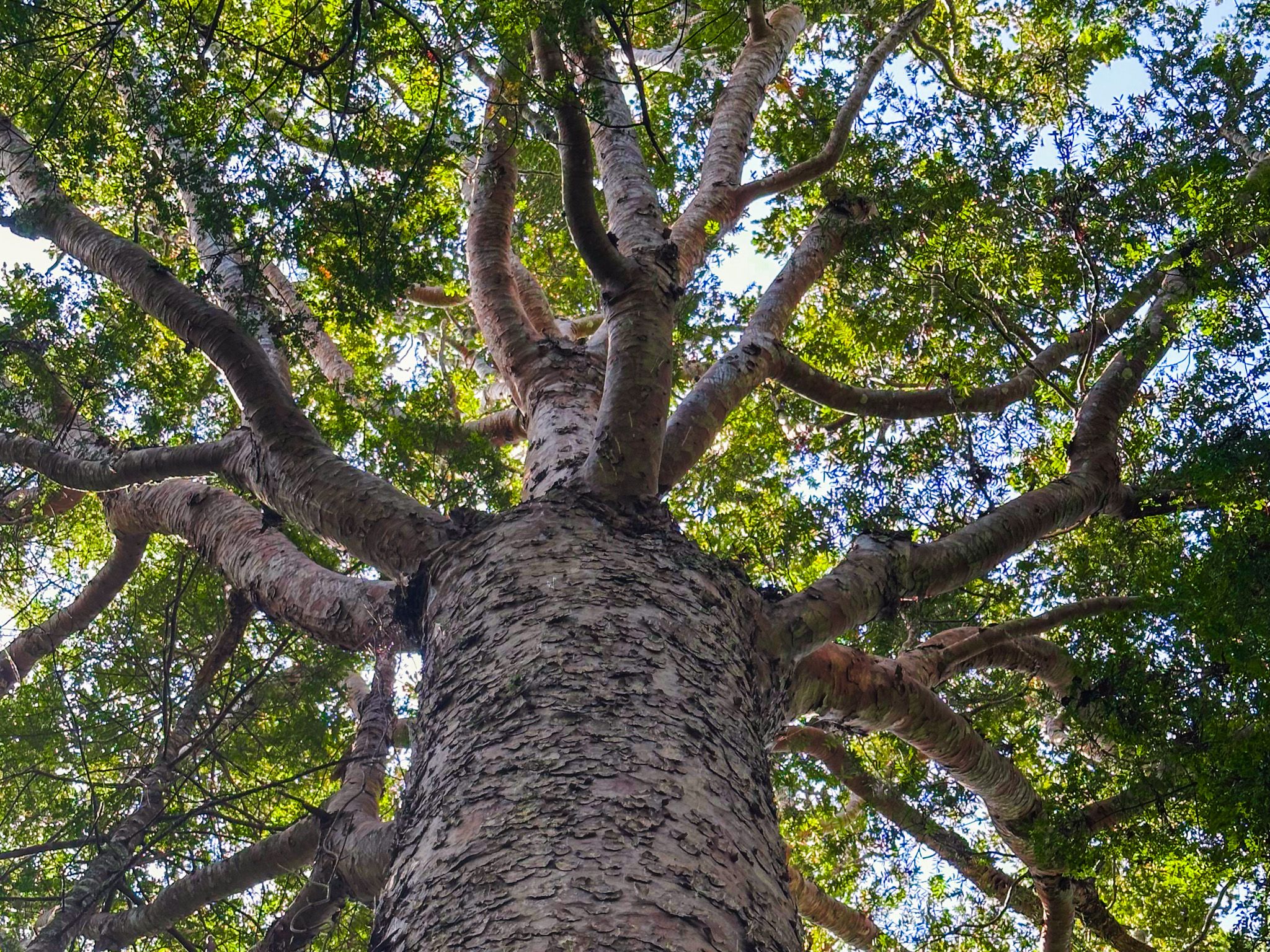
You can also extend your adventure by visiting the nearby Chatswood Reserve, home to 400-year-old kauri trees, and the Chelsea Estate Heritage Park.
Walking Tracks and Scenic Views
Several interconnected tracks begin on Onetaunga Road, with the most prominent entrance marked by the Brian Norton Track sign, opposite Chelsea View Drive. This road serves as the main access route into the suburb of Chatswood from Birkenhead.
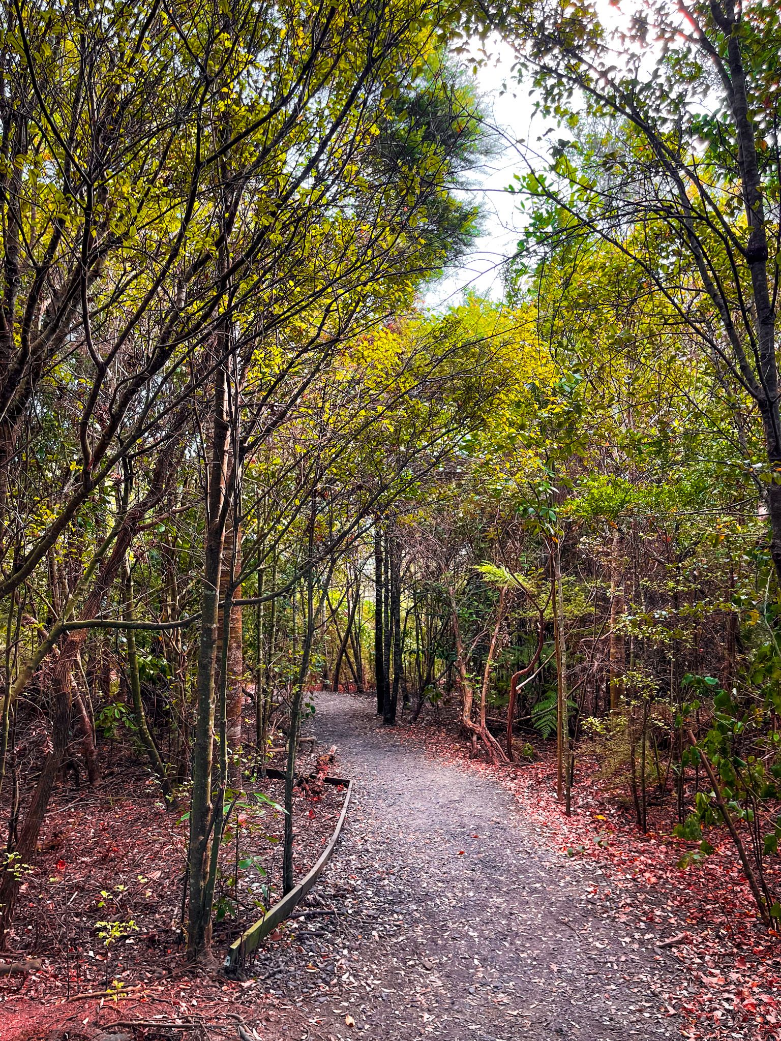
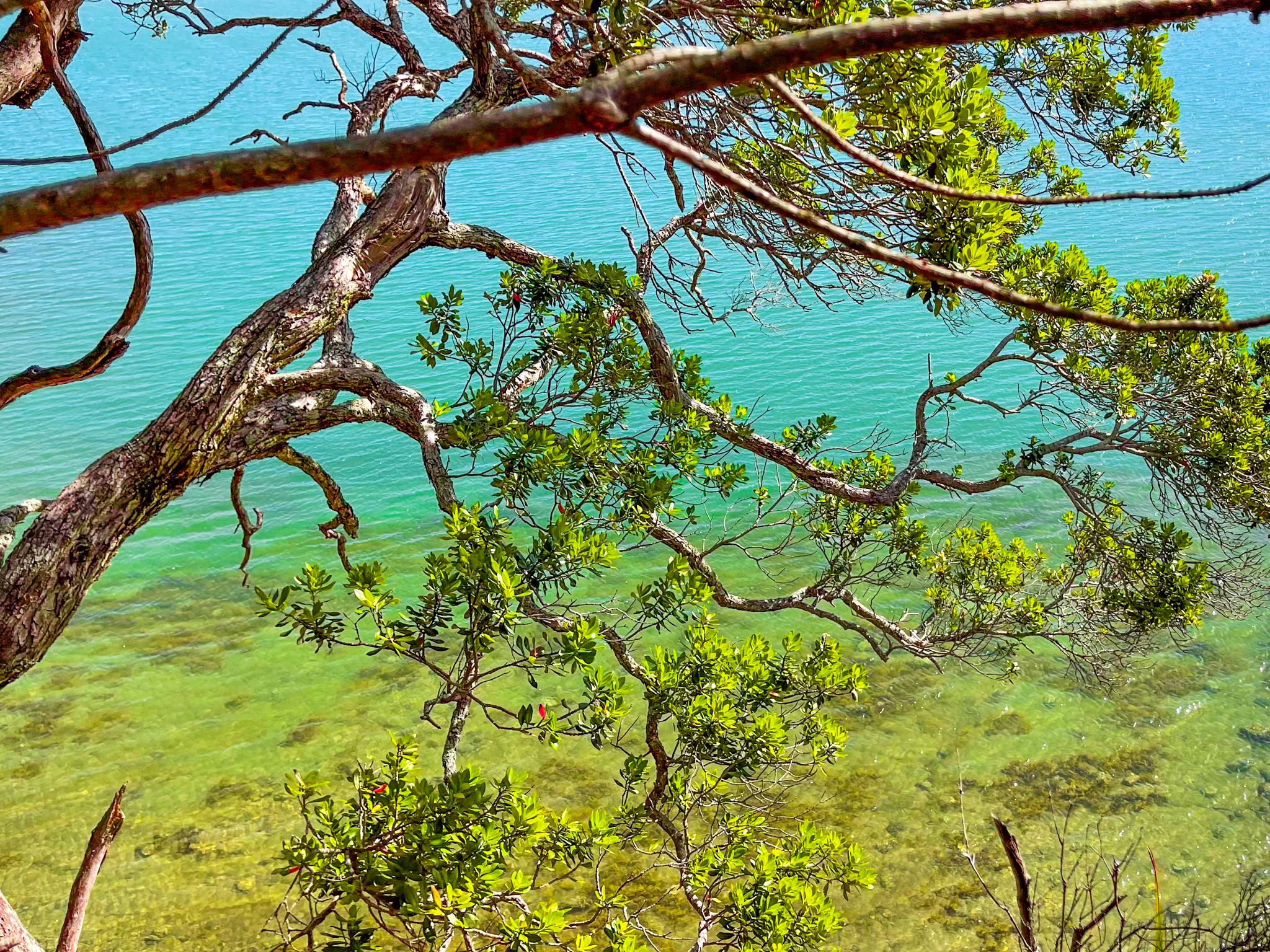
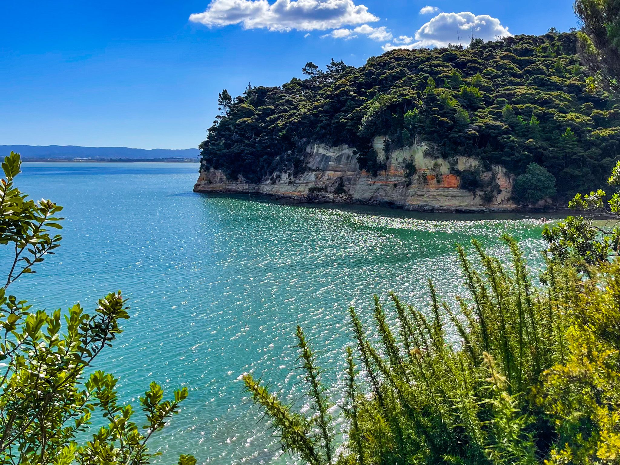
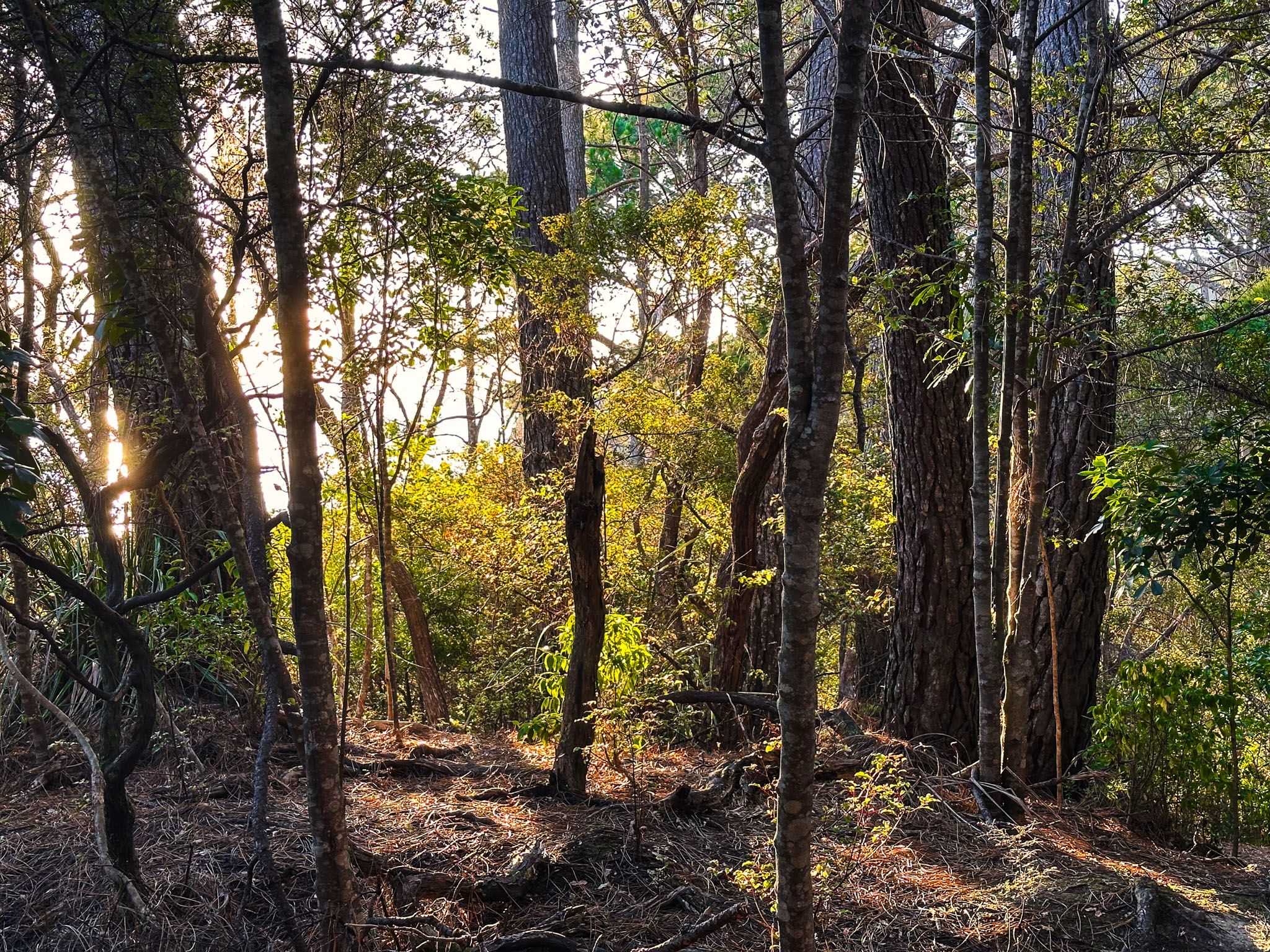
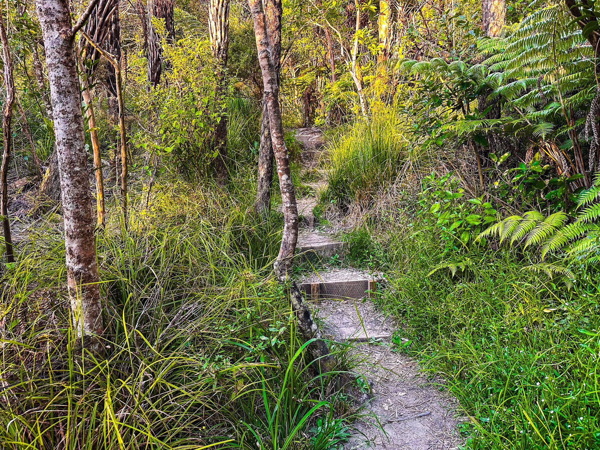
The Brian Norton Track descends through a regenerating forest towards Kauri Point / Te Mātārae ō Mana, featuring steep steps. As you near the point, the track veers west along a cliff edge, with wonderful views and a short descent to the beach at Kendall Bay's western end.
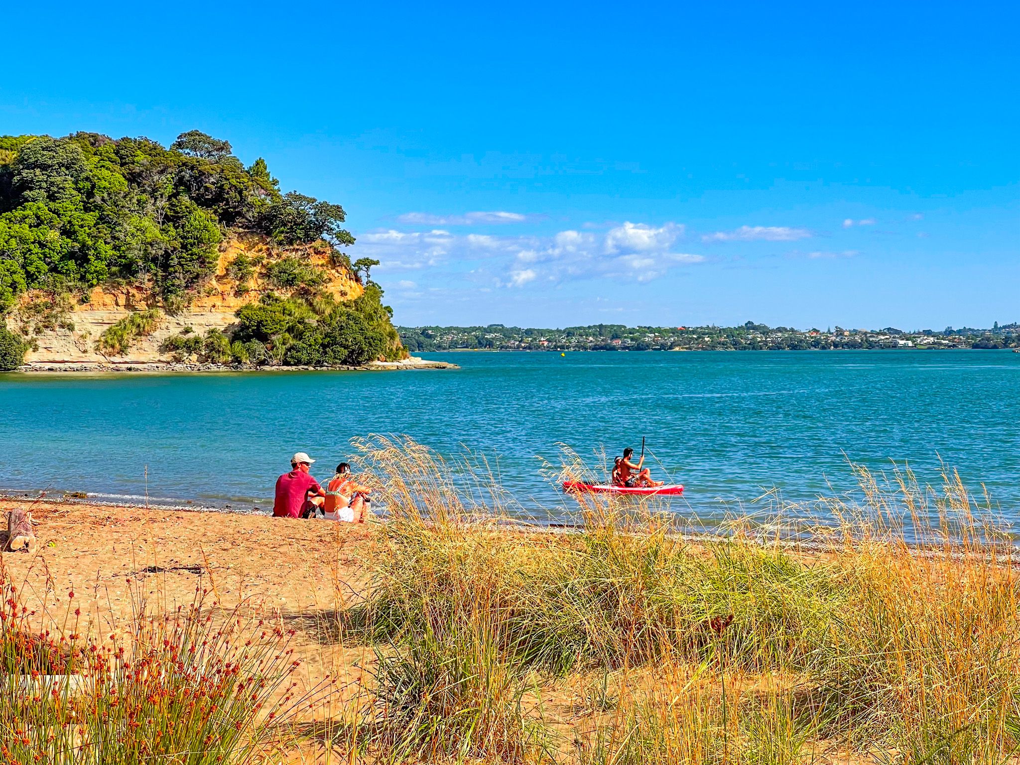
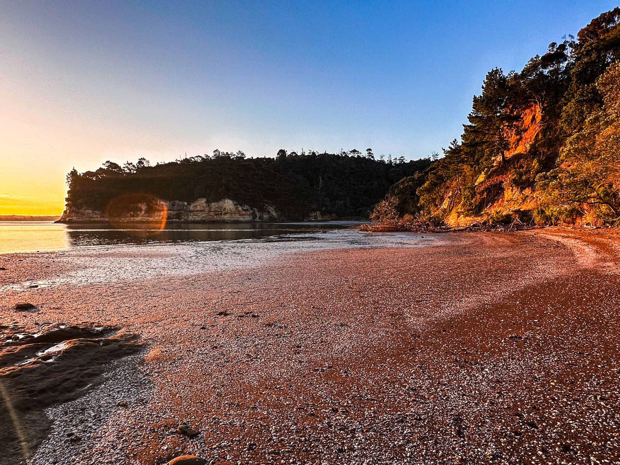
Kendall Bay: A Secluded Retreat
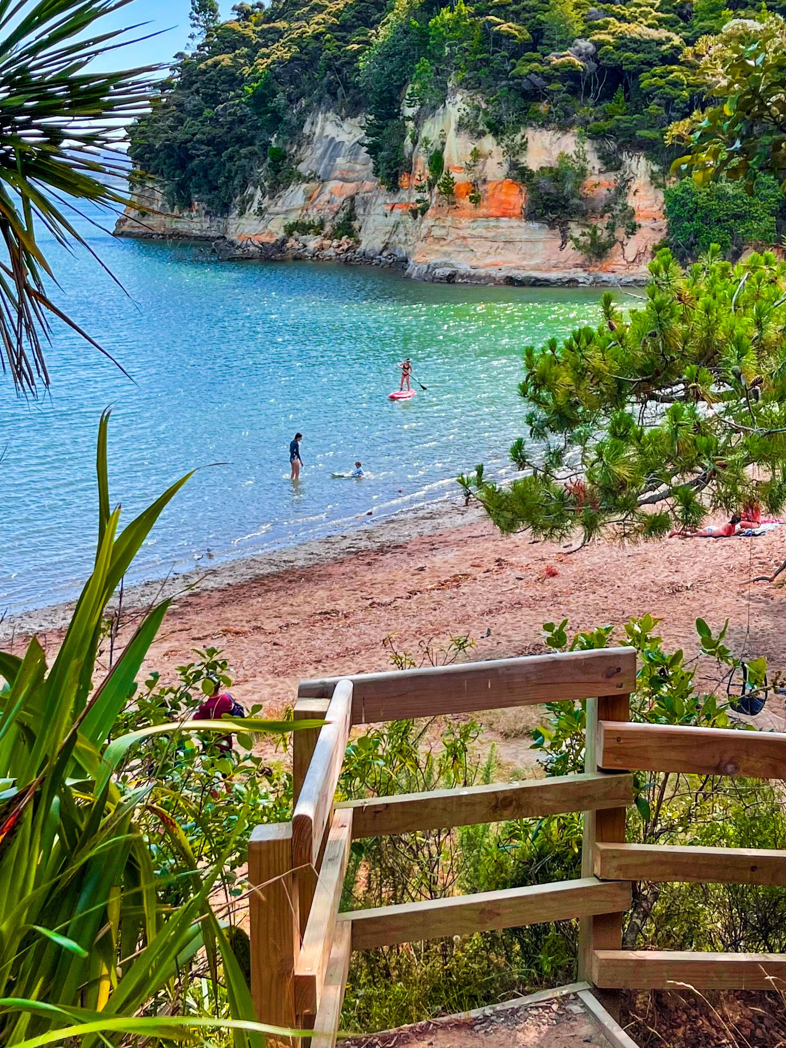
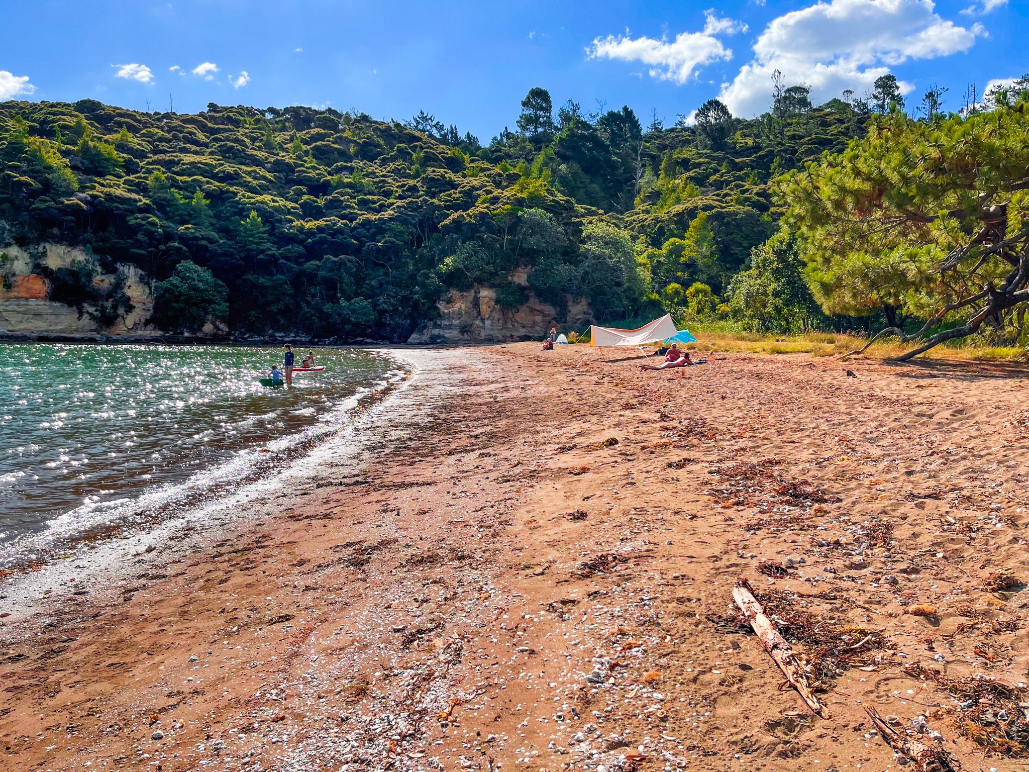
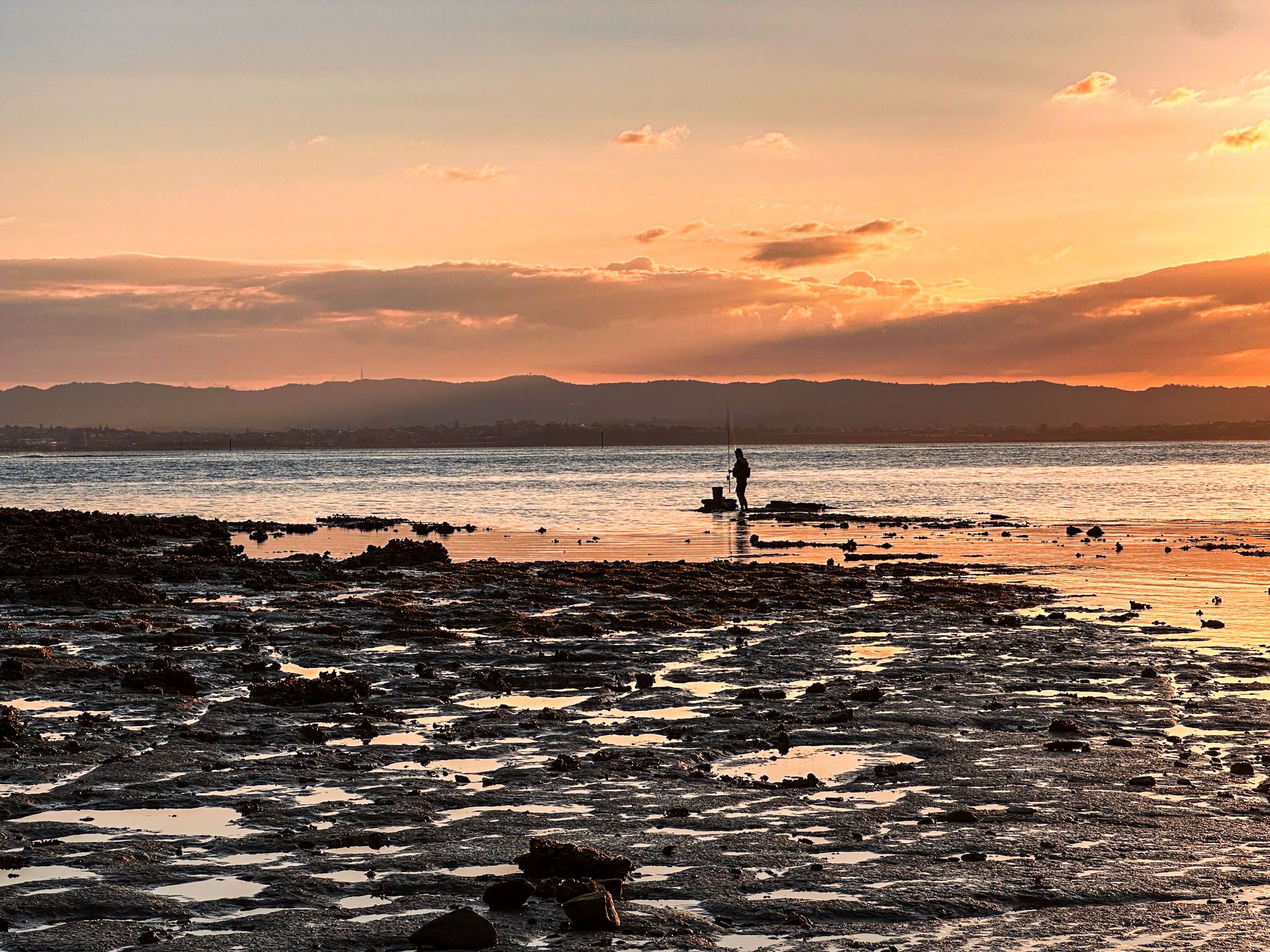
Kendall Bay is a secluded beach ideal for swimming, picnicking, or relaxing on the sand. It features a narrow grass strip and small wetlands. At low tide, you can walk around the cliffs' base to a smaller beach at the bay's eastern end, beneath Kauri Point. Swimming is best at high tide.

Accessing Kauri Point
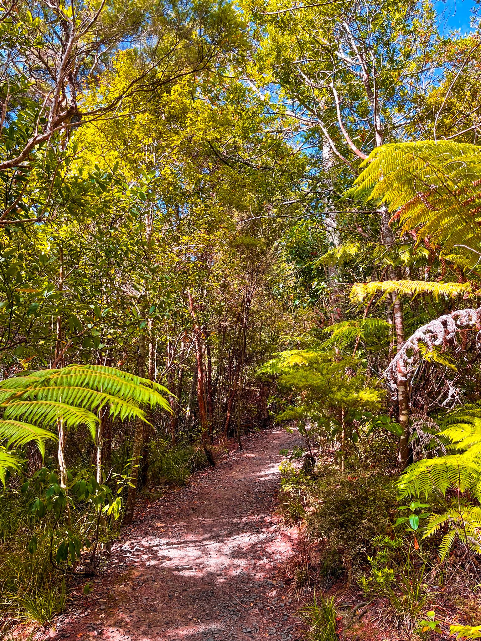
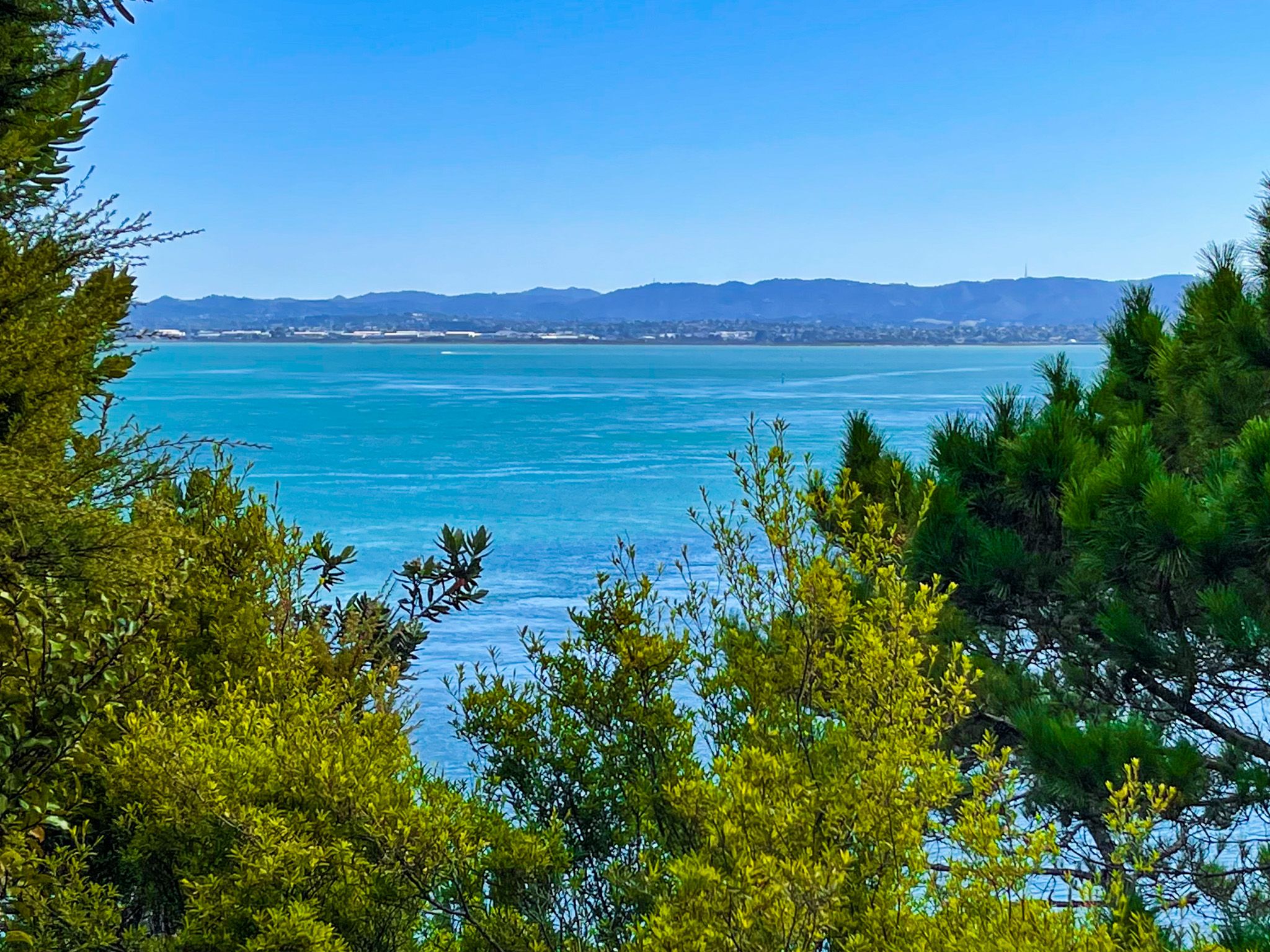
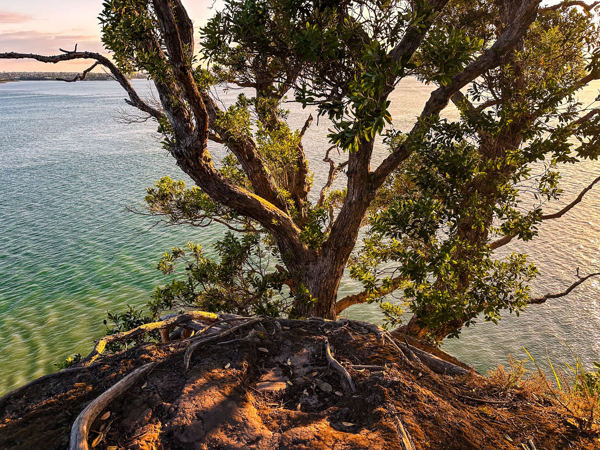
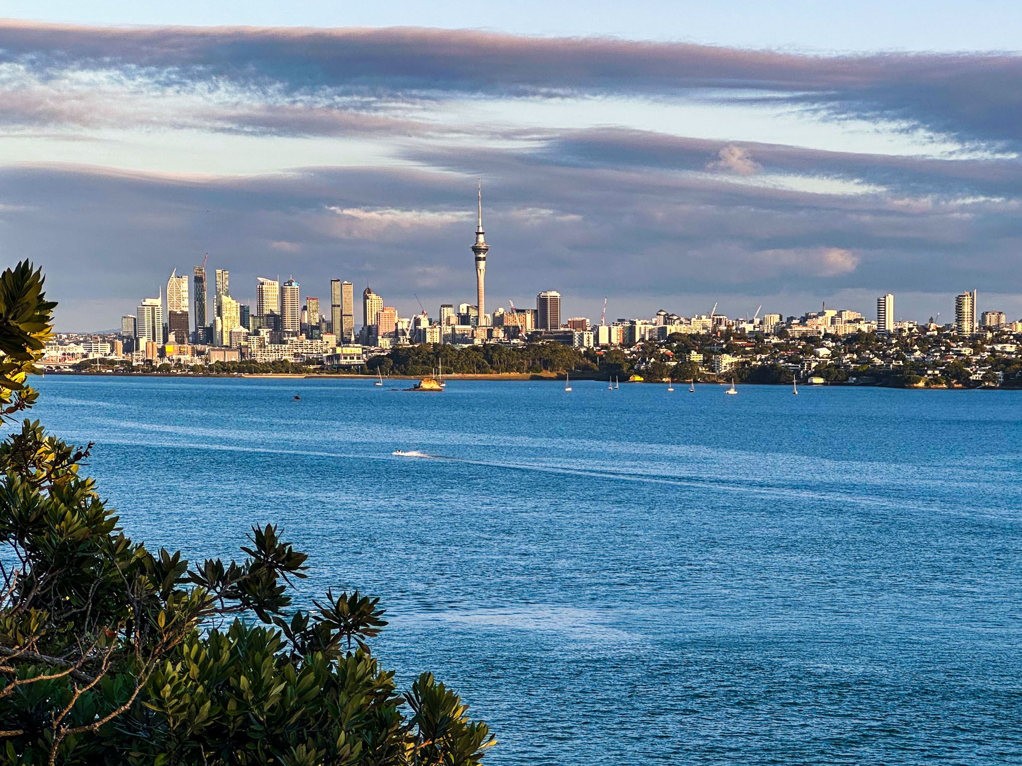
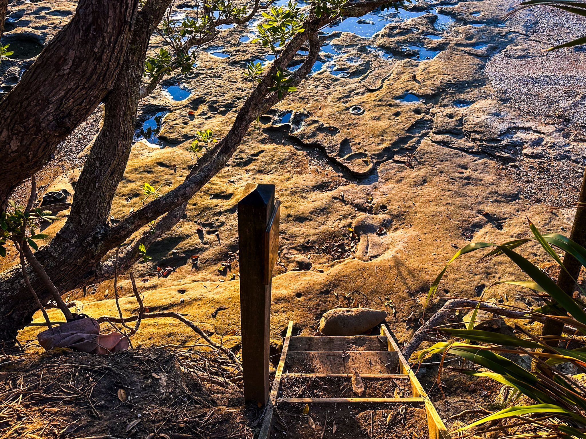
You can reach Kauri Point from the Brian Norton Track via the Chelsea Estate Track. Head east towards the Chelsea Estate, a short distance through a forest of exotic pines, until you find a narrow, unmarked track leading south back to the coast. This path follows the ridge to the clifftop at Kauri Point, with spectacular views of Downtown Auckland. A short, steep side track connects to the small beach at Kendall Bay's east end.
Exploring the Western Clifftop
At the west end of Kendall Bay, past the small wetlands, another track leads to the clifftop on the bay's west side. This path can be rough and muddy after rain. While the views from this cliff edge also look back towards Auckland, they are somewhat obstructed by vegetation, unlike those from Kauri Point.
Historical Significance
Kauri Point and Kendall Bay were historically occupied by Te Kawerau ā Maki iwi. The Māori name for the point, Te Mātārae ō Mana, translates to "the brow of mana" and was a significant fortified pā on the North Shore. The bay was ideal for fishing and food gathering, surrounded by dense forest. Look for the two defensive ditches on the way to the point.
European Settlement and Development
After European acquisition, the kauri forests were logged, and attempts at farming were made. However, poor soil quality led to failure and the land became part of the Chelsea Sugar Refinery. Following the opening of the Harbour Bridge in the 1960s, the refinery released the land for development, resulting in the creation of Chatswood in the 1970s and the establishment of the park and nearby Chatswood Reserve for recreation.
How to Get There
From Downtown Auckland, take the northern motorway to the Onewa Road off-ramp. Head west on Onewa Road, which becomes Highbury Bypass, then Mokoia Road. From Mokoia Road, hedges south on Chelsea View Drive to its end at the intersection with Onetaunga Road. Park on the side of the road or in the car park by the park entrance, marked by the Brian Norton Track sign. The drive takes around 20 minutes and is 12 km.
Allow approximately 20 minutes to walk from the road to Kendall Bay and an additional 15 minutes each to explore the tracks leading to Kauri Point and the bay's western side.
Other nearby parks to visit include Kauri Point Domain, Le Roys Reserve, and Kauri Glen.