Discover the Lake Otuhie Track
Situated on the especially remote northwest coast of the South Island, the Lake Otuhie Track is located on Cowin Road about a third of the way between Paturau River and Anatori. The track's access point is easy to find, clearly marked on the roadside, and includes a parking area. The track follows a creek to the west end of beautiful Lake Otuhie.
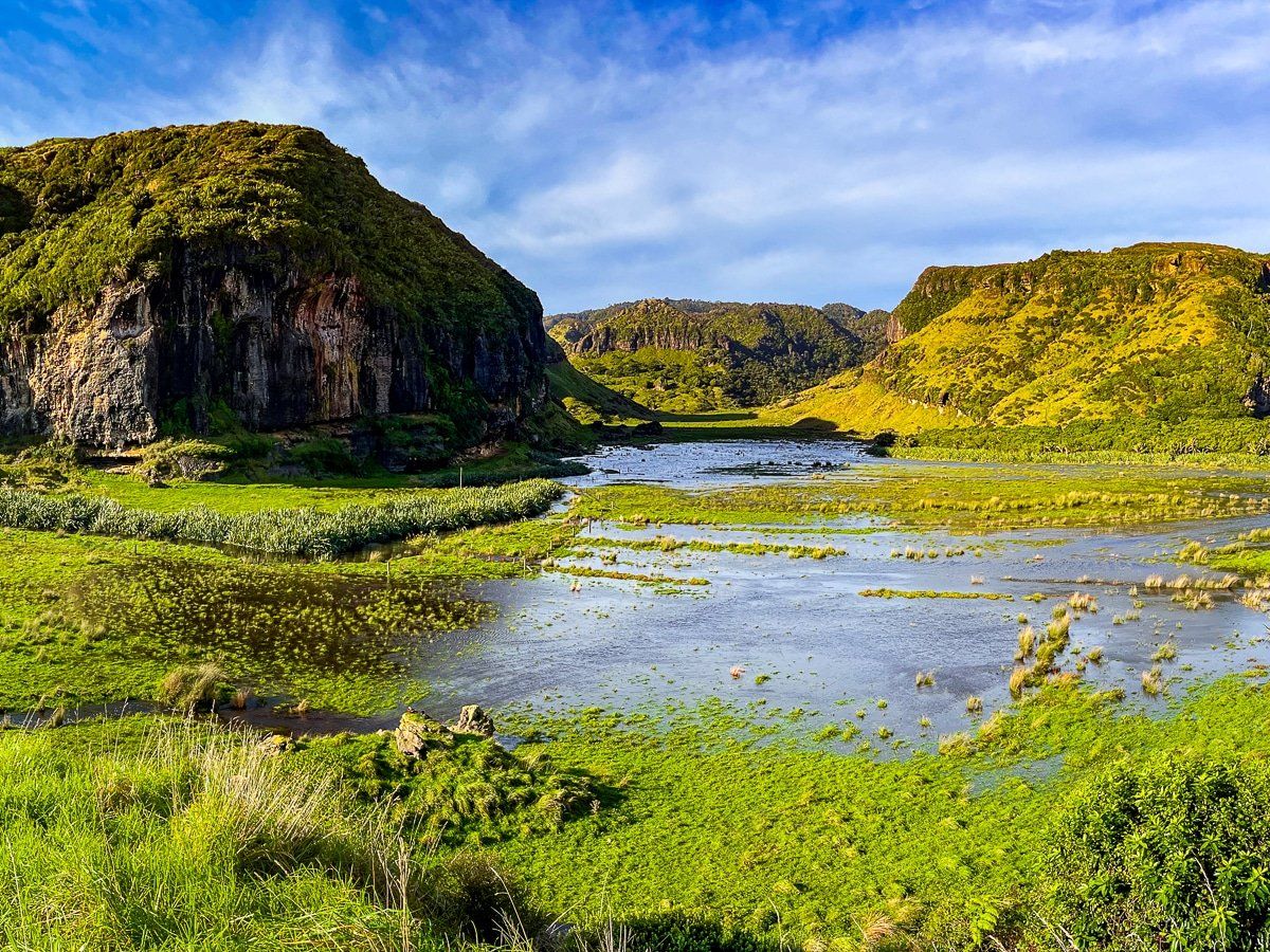
Picturesque Lake Otuhie
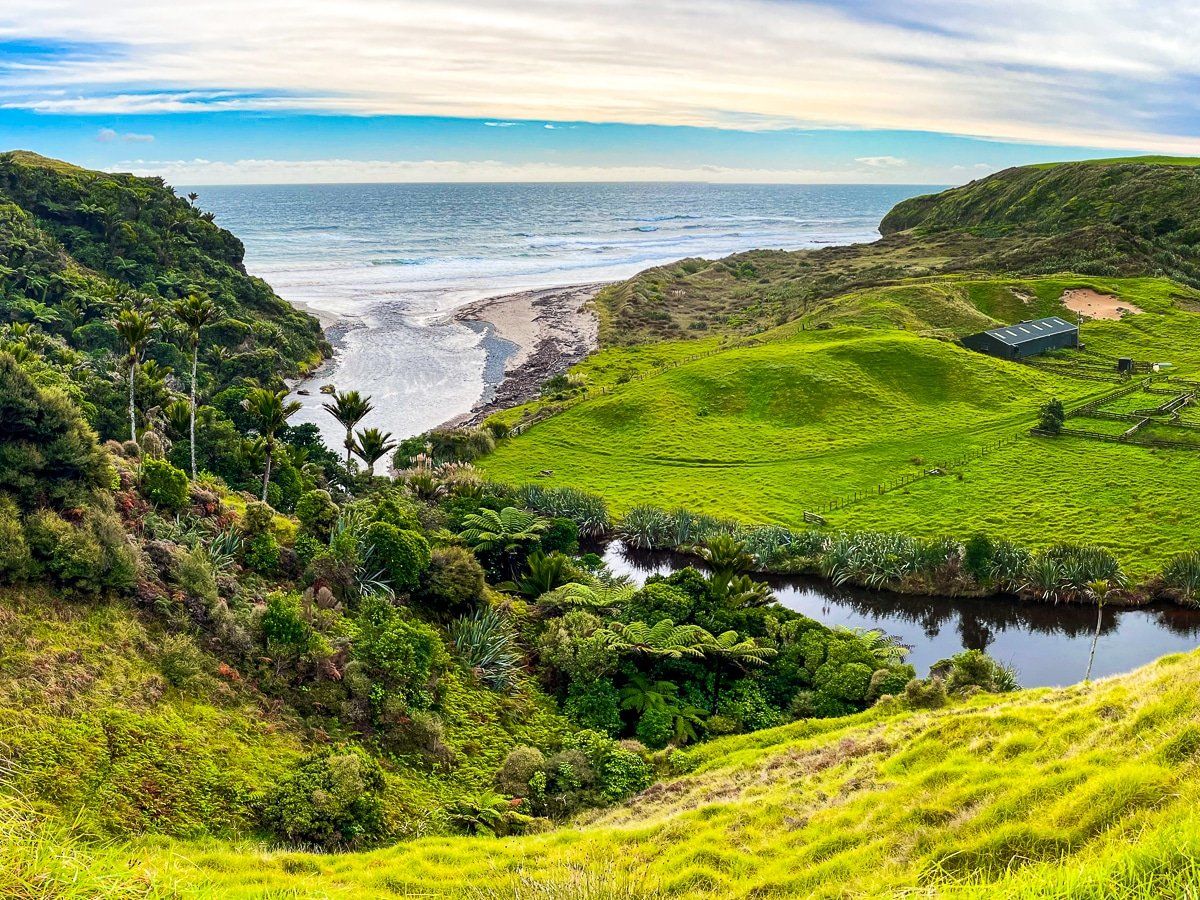
Lake Otuhie is a striking, remote dune lake, nestled amidst rugged limestone formations and native bush. Its geographic setting is dramatic but tranquil. The lake itself lies in a low-lying basin surrounded by steep, forested hills and karst outcrops, shaped by millennia of erosion and tectonic uplift. It’s about 3 km long with a sharp curve, and over 500 metres wide at its widest point.
When still, the lake reflects the surrounding cliffs. The lake's isolation and untouched surroundings highlight the wild, prehistoric character of this part of New Zealand, with a look back into the geological forces that have shaped the West Coast.
Scenic Walk with Possible Challenges
The Lake Otuhie Track is picturesque with mostly flat terrain through striking green farmland, making for a generally leisurely walk. The valley at the head of the trail and the paddock beyond feature the convergence of several streams below the lake.
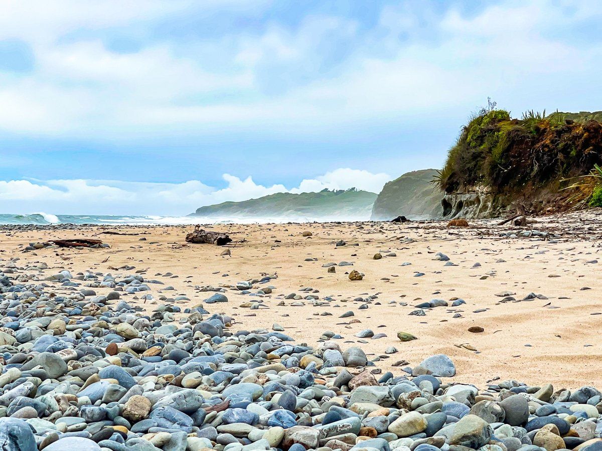
The round trip usually takes about an hour. However, conditions can vary; for instance, Kowhai Creek, which runs alongside the initial section of the track, can flood after heavy rain, turning the easy, calm ford into a deeper torrent. In this instance, you can take an alternative route across a somewhat worn farm bridge. This may also require scrambling along an eroding sandy, scrub-covered cliff to stay above the creek!
Flooded Fields and Photography
Upon reaching the field in front of the lake, you may encounter flooding, as we did during our visit. An electric fence presents an additional challenge. Despite these obstacles, the area is rich in photographic opportunities, making it a compelling reason to revisit and explore the track under different conditions.
How to get there
From Collingwood, take the coastal road north, then head west on Pakawau Bush Road. At the Whanganui Inlet, head southwest on Dry Road to the coast at Paturau River. From their take Cowin Road south to the car park and trailhead. The drive time is 75 minutes and 51 km on gravel roads.
From Pakawau Bush Road, you can also visit the smaller Kaihoka Lakes, also dune lakes, with a straightforward walk. Other options from Collingwood include Cape Farewell, Wharariki Beach and Aorere Valley.