Discovering Moonlight Road in Central Otago
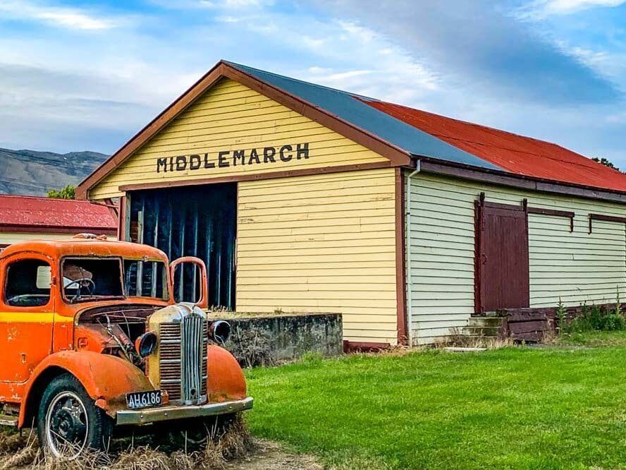
Moonlight Road, located in Central Otago, combines scenic beauty with a romantic name. This picturesque route begins on the east side of Middlemarch and ascends to a height of 595 metres at Billys Ridge. It then connects to Macraes Road, leading to the historic gold mining town of Macraes.
Start With an Ancient Volcanic Cone
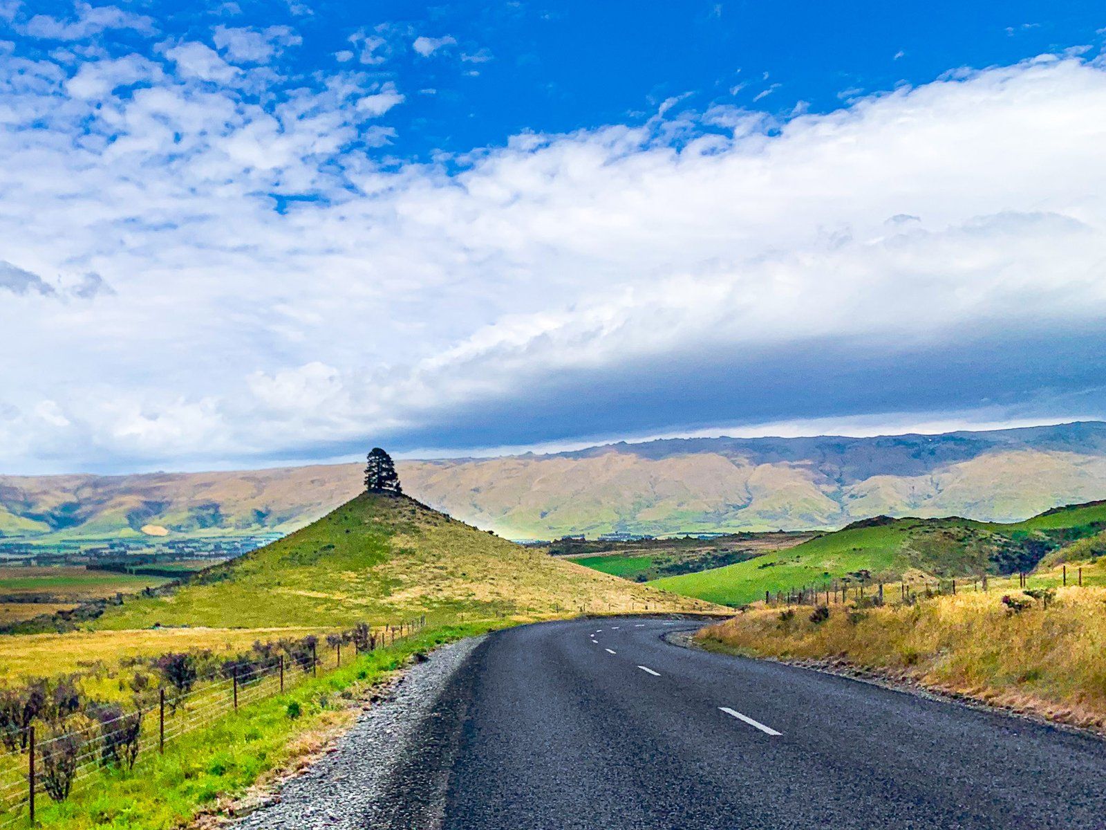
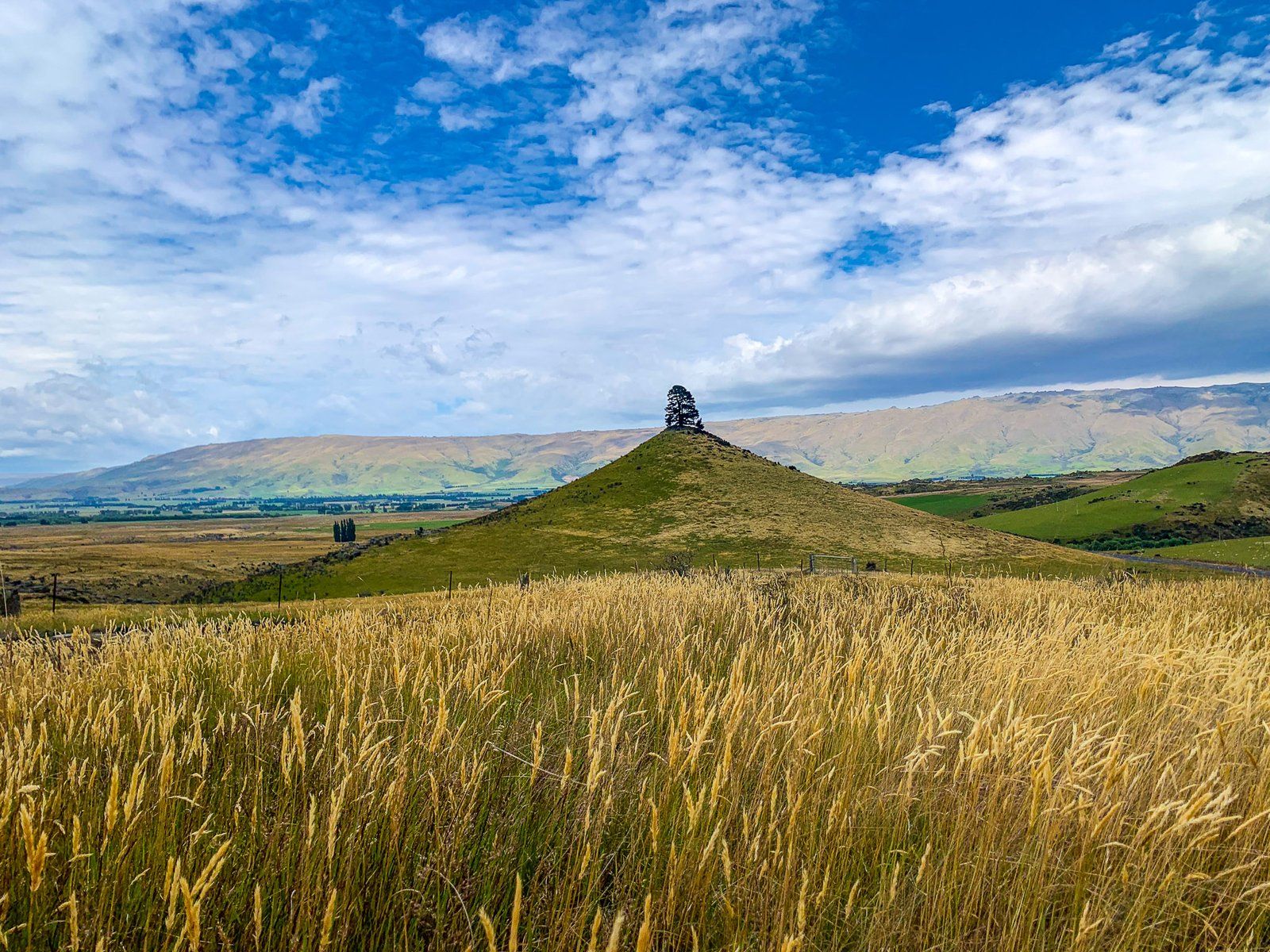
Shortly after you start the drive from Middlemarch, you'll encounter Conical Hill, a striking remnant of a 20-million-year-old volcano. This near-perfect cone stands approximately 80 metres high and is crowned by a solitary pine tree. Planted in 1918 to commemorate the World War I armistice, the tree has remarkably withstood harsh weather conditions for over a century. You can pull over to admire this unique landmark.
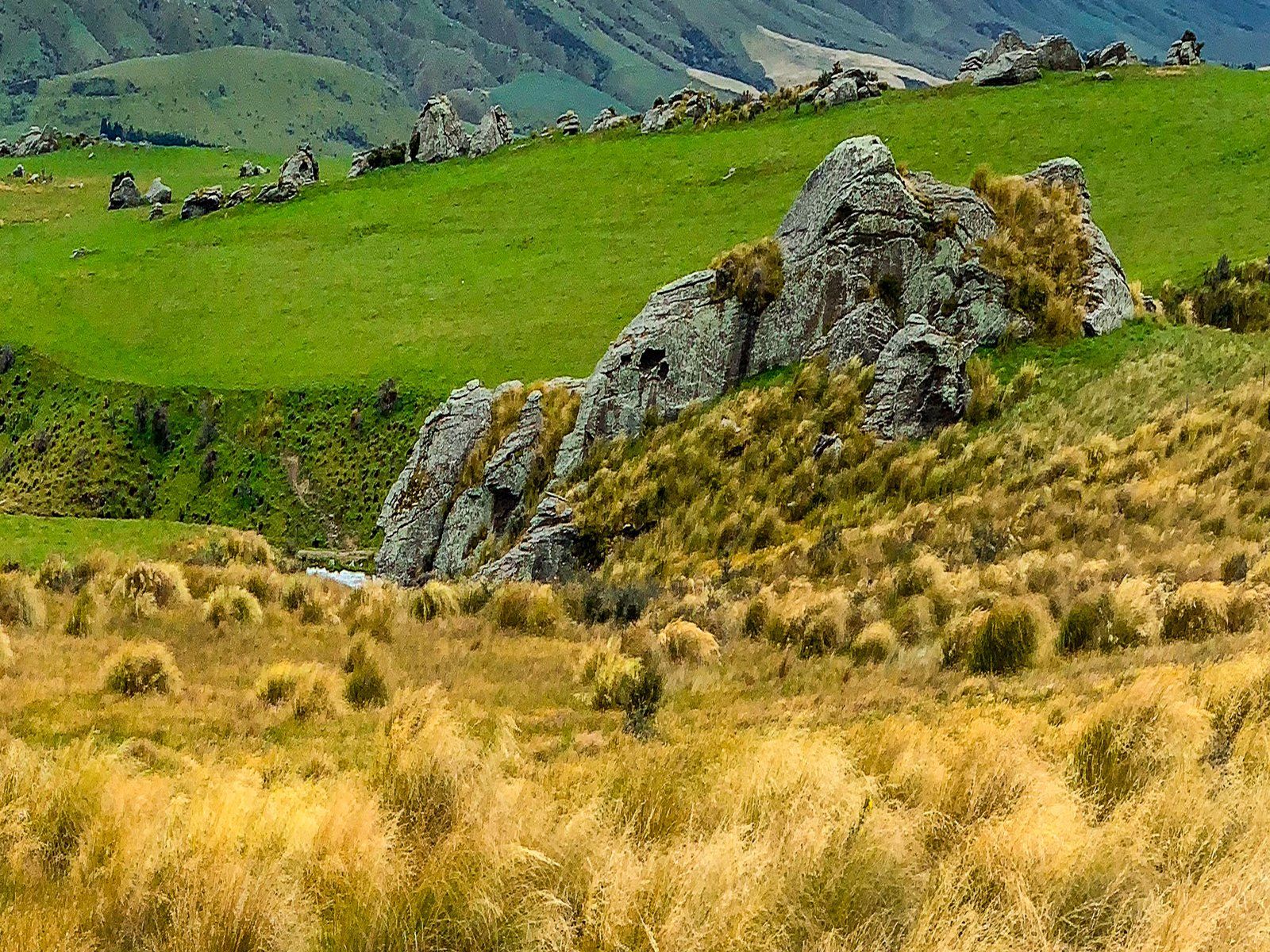
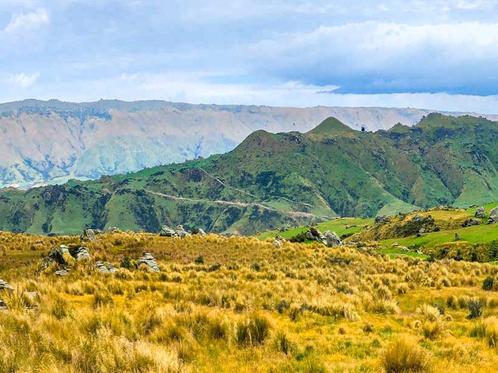
Scenic Views from Billys Ridge
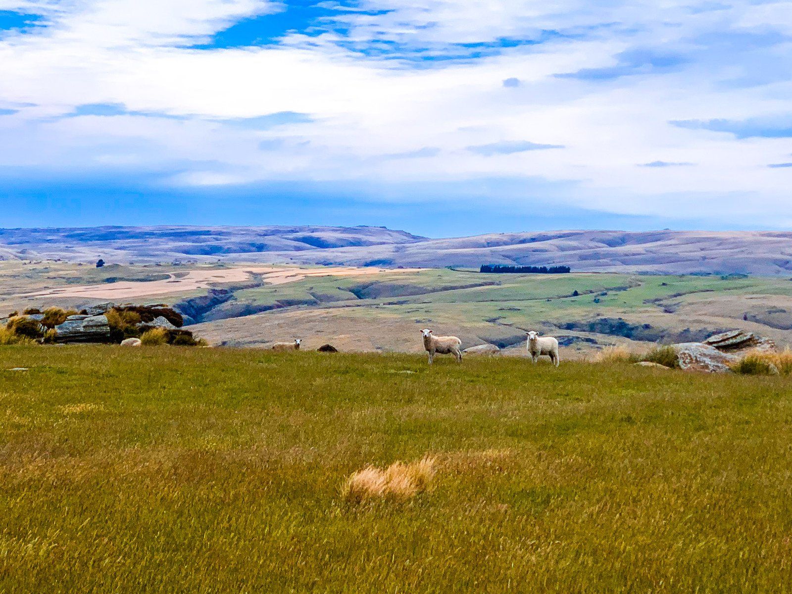
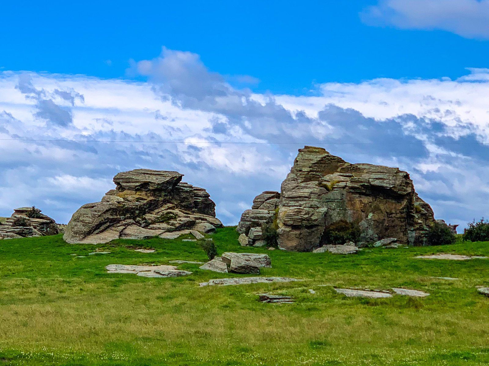
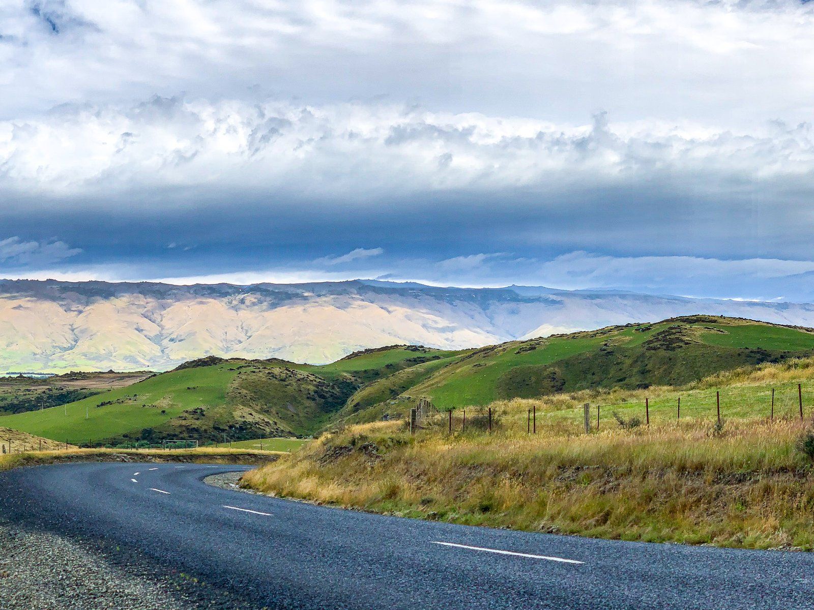
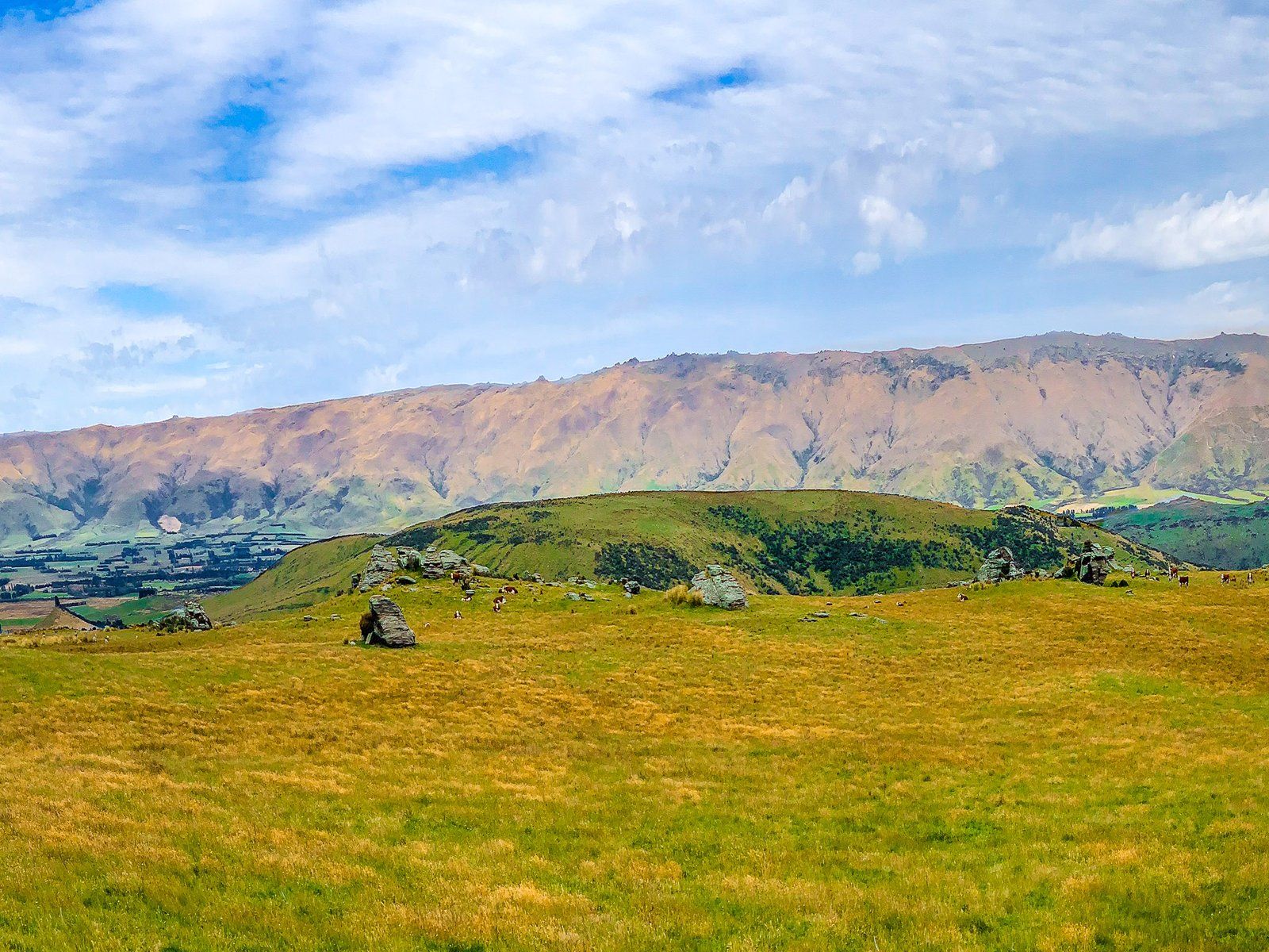
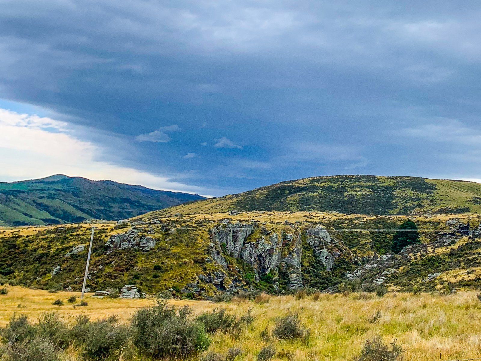
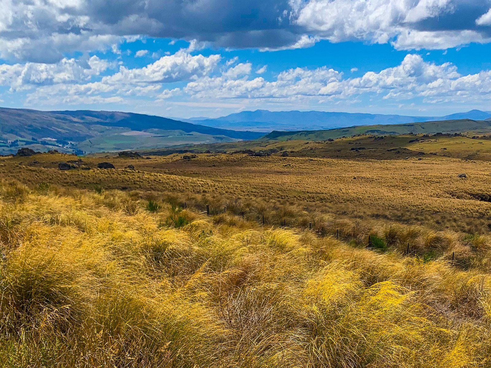
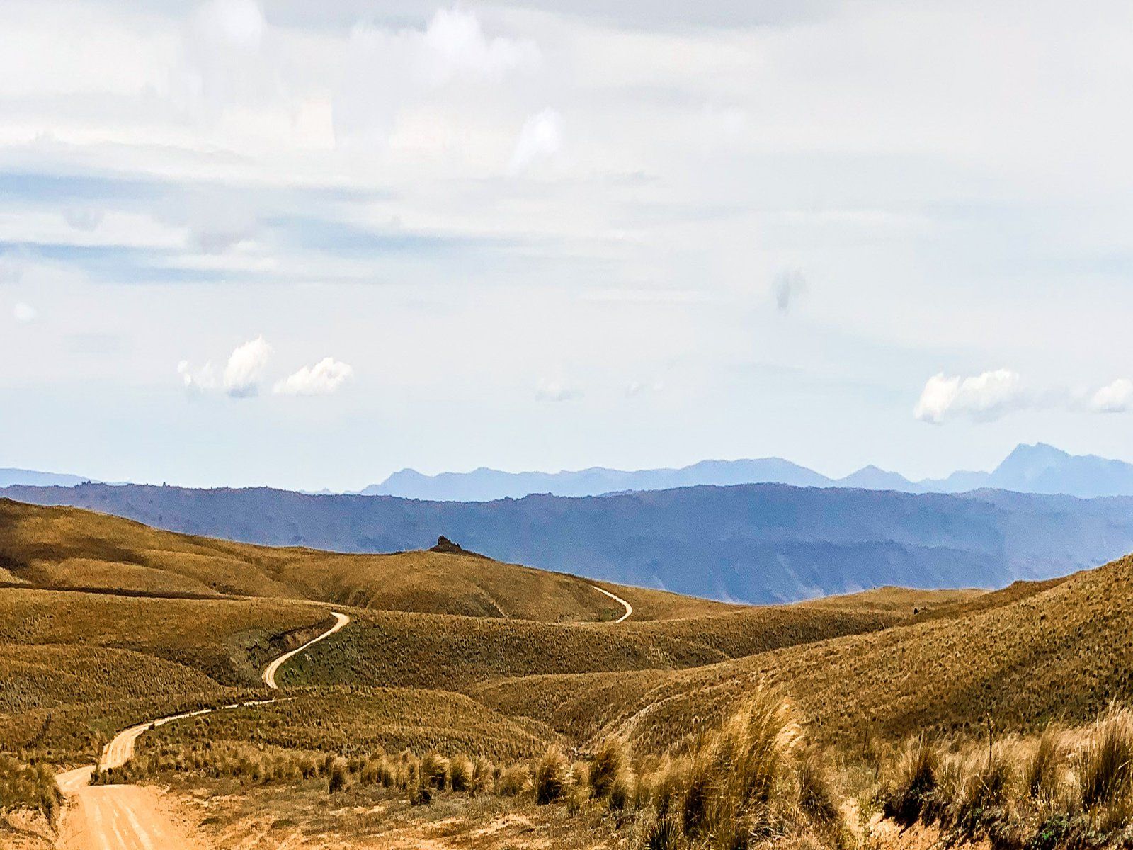
As you continue, the road climbs the southern end of Billys Ridge, transitioning from sealed to metal. The ridge is characterised by steep farmland and impressive rocky tors. At the summit, pause to take in the expansive views across Moonlight Flat, nestled between Billys Ridge and Taieri Ridge. The vista includes the Strath Taieri Plain and the Rock and Pillar Range in the background. Descending into Moonlight Flat, the road becomes Macraes Road, taking you to the town of Macraes.
Getting to Moonlight Road
To reach Moonlight Road, start from State Highway 87 on the north side of Middlemarch and take Cardigan Street East. The road becomes Moonlight Road as you exit the town. It is initially sealed and becomes unsealed after 8 km.
Other places to visit in the region include Old Dunstan Road, Loganburn Reservoir, Macraes Goldmine, and Golden Progress Mine.