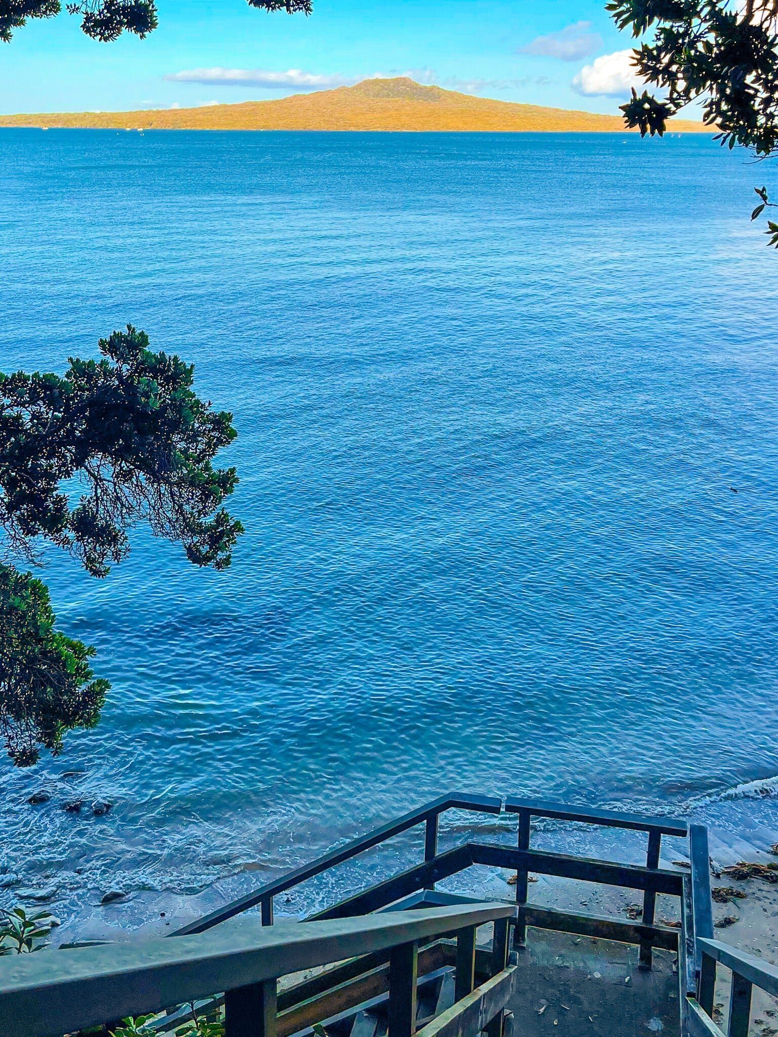
Coastal Walk from Narrow Neck to St Leonards Beach
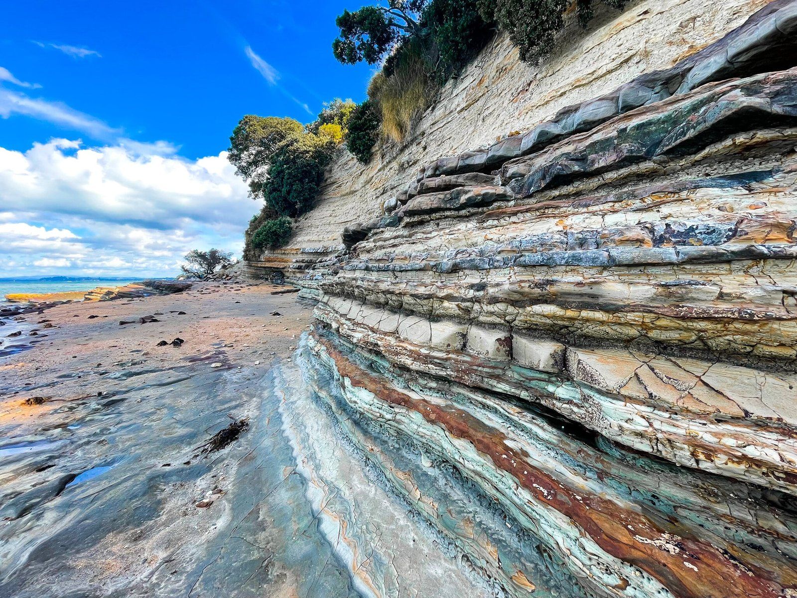
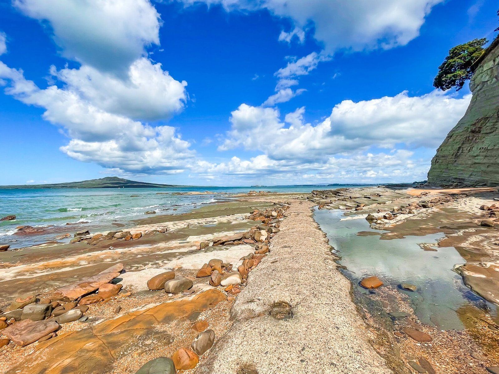
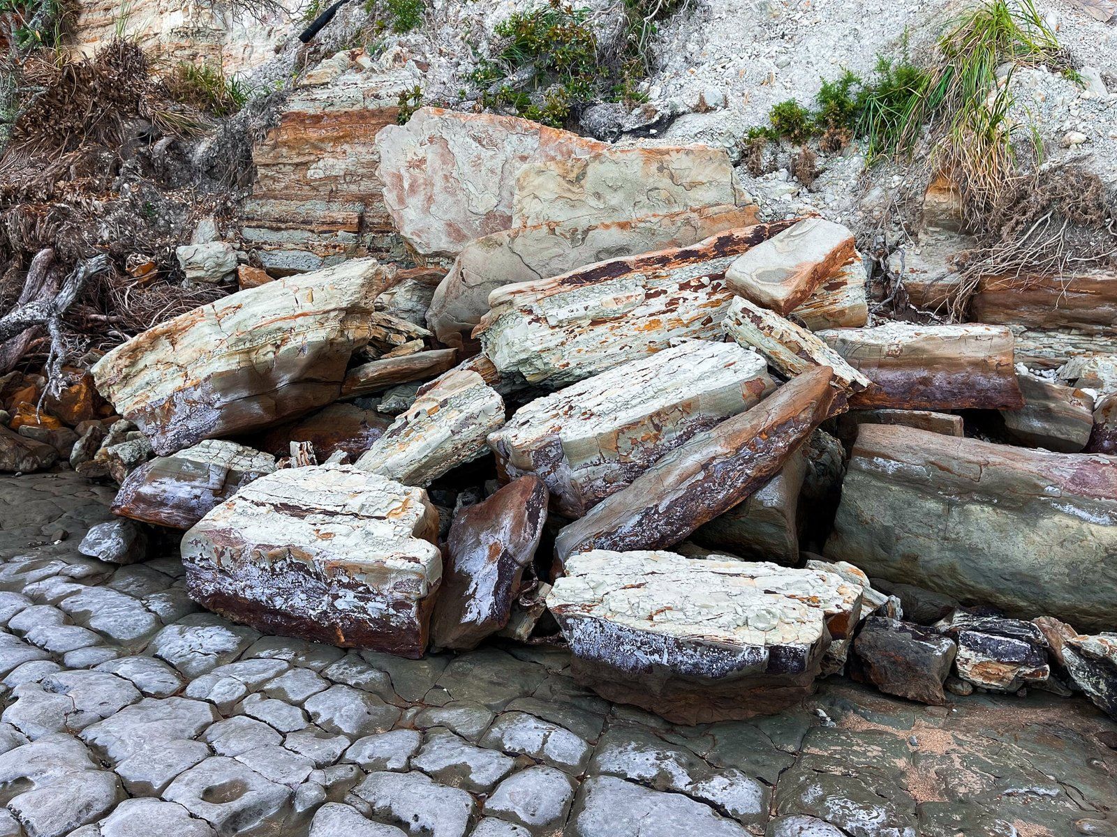
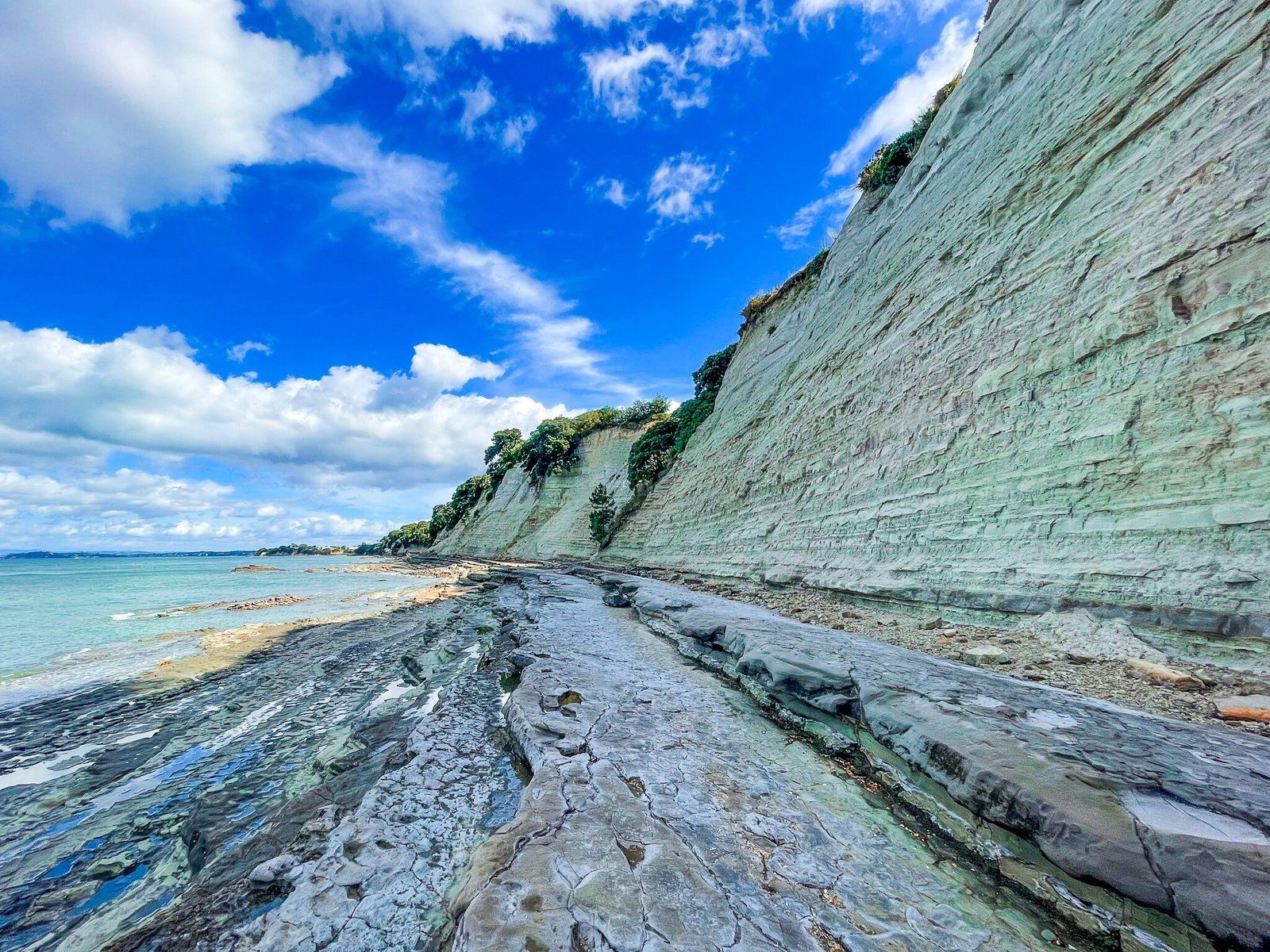
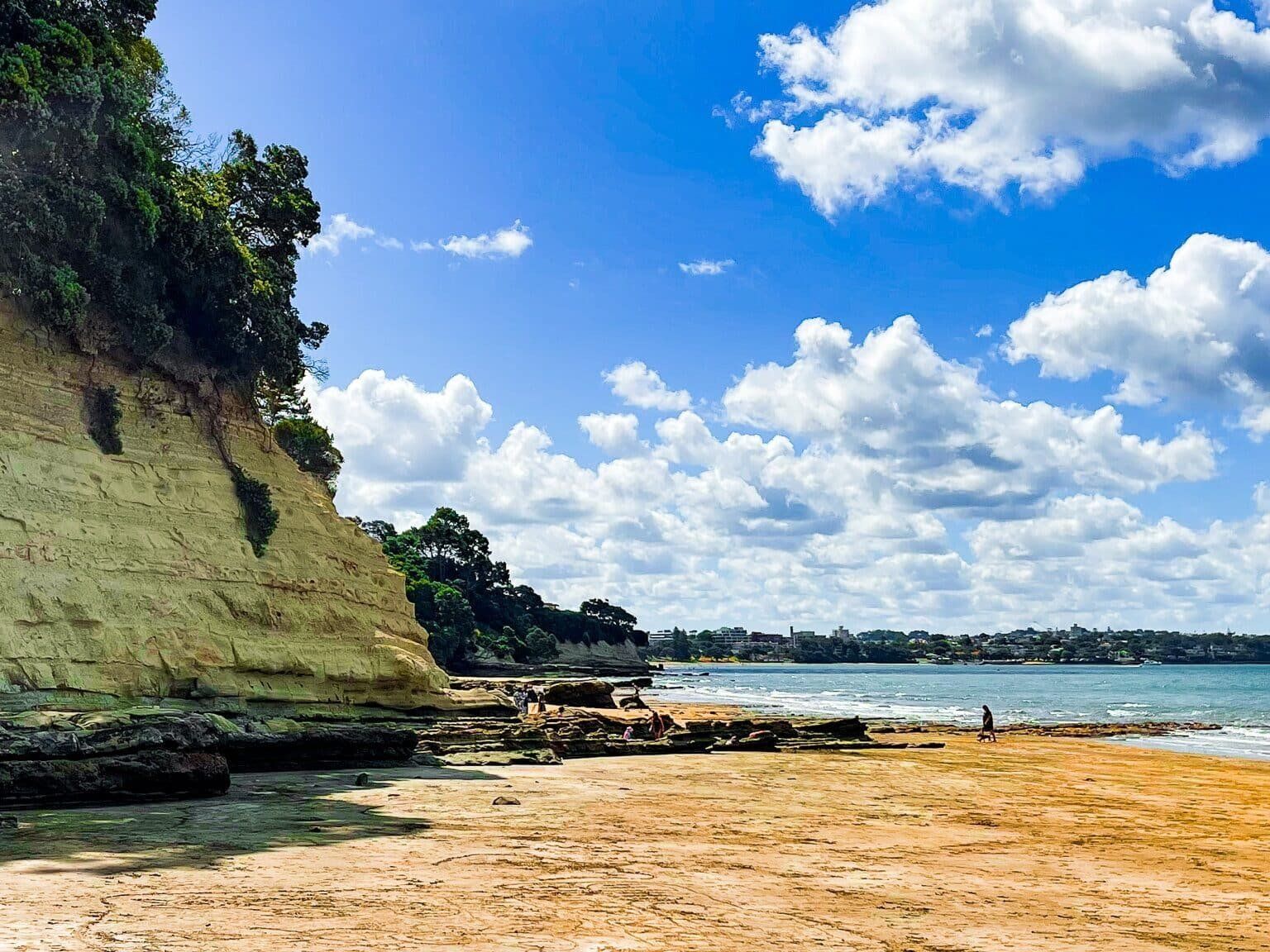
As the tide recedes, you can walk the mostly rocky 1.7 km shoreline between Narrow Neck and St Leonards Beach on the Devonport Peninsula, below high cliffs. The walk is part of the North Shore Coastal Walk, also a section of Te Araroa. The walk is an opportunity to observe the intriguing rock formations, varied colours, and signs of erosion that define this coastal landscape.
Discovering the Cliffs and Rock Formations
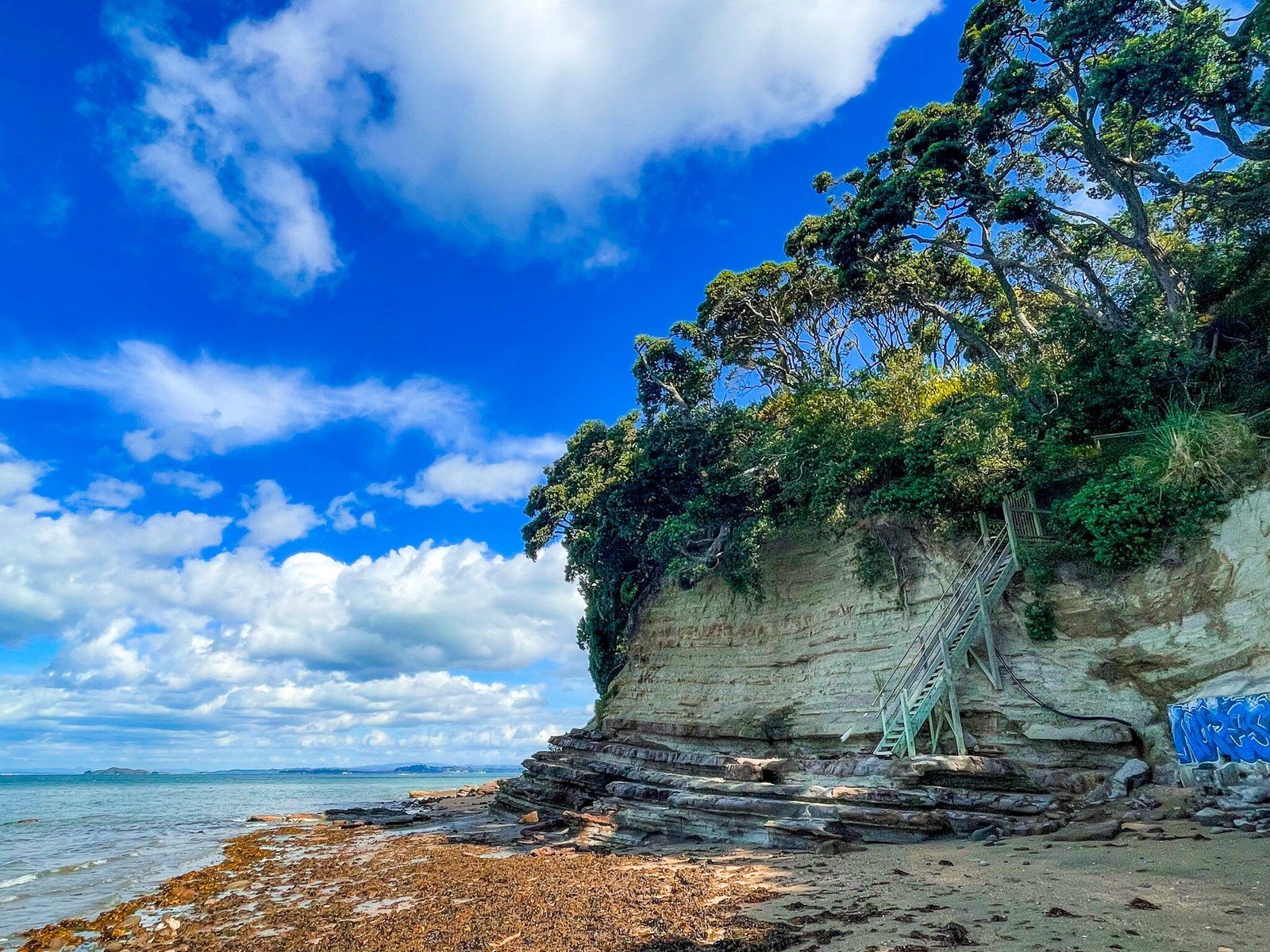
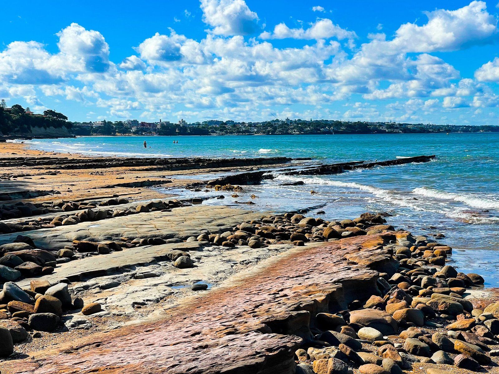
The walk below the cliffs, which are up to 30 metres high in places, is about 1.7 km long. Much of the walk is on a wide, rocky platform that can be accessed as the tide retreats, perfect for fishing. The cliffs here are a striking feature, providing a dramatic backdrop to the walk. The variation in rock formations and the vivid colours of the cliffs add to the visual appeal.
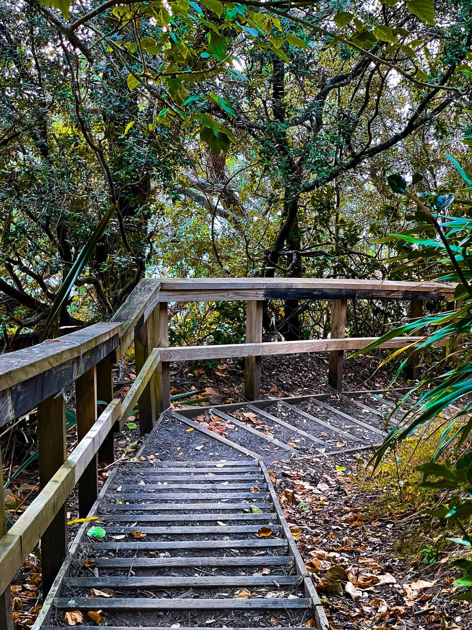
About two-thirds of the way along the route, a steep staircase leads you up to Seacliffe Avenue for a different perspective of the area. If you are doing the walk closer to high tide, you will need to stick to Seacliff Avenue.
How to Get There
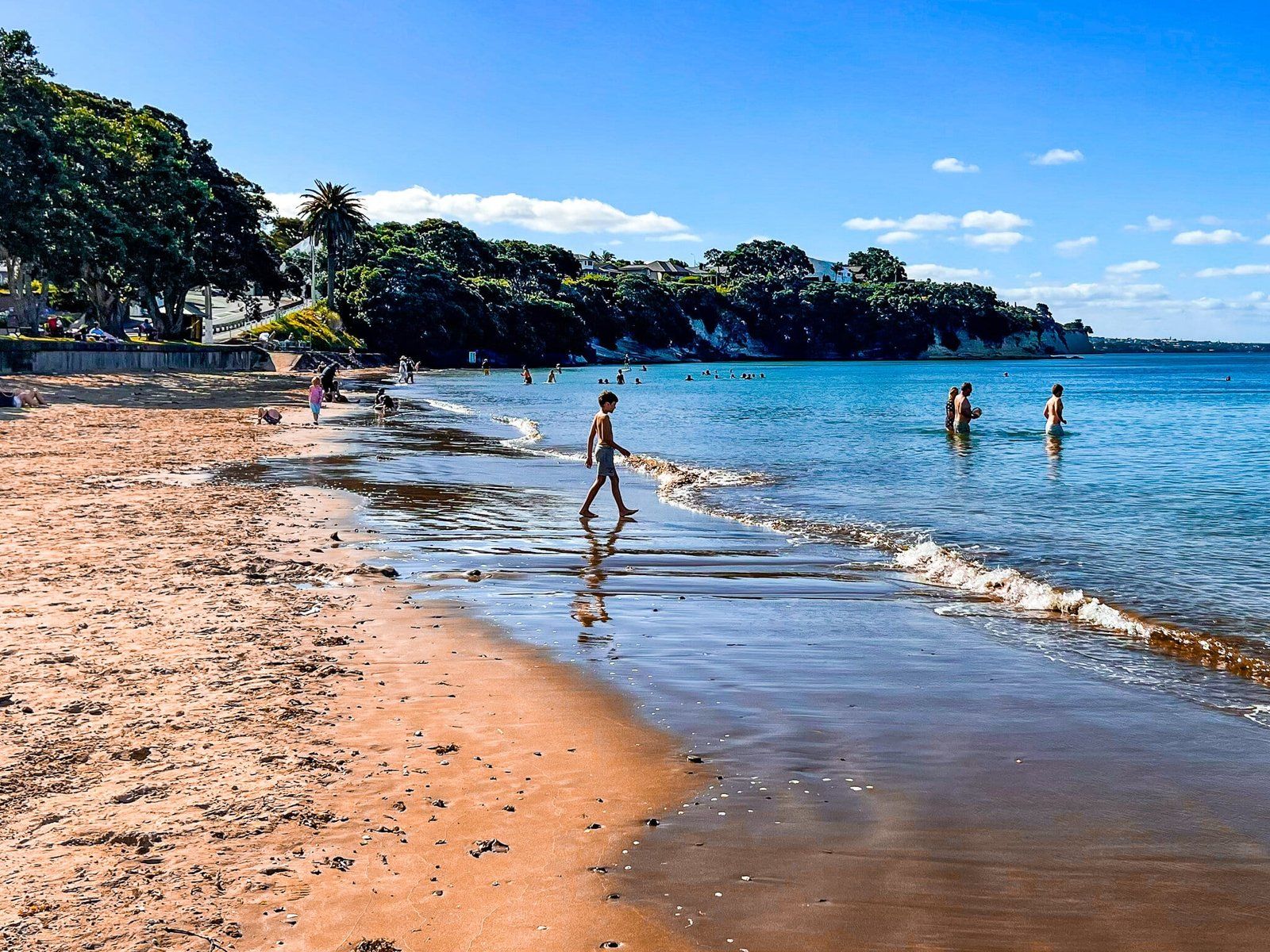
Youc an start at the beach at either end. St Leonards Beach is to the north and accessed off Lake Road from the end of St Leonards Road, with steep stairs down to the beach. Narrow Neck is to the south and accessed from Old Lake Road.
Continuing south from Narrow Neck takes you to Cheltenham Beach and Maungauika North Head. Heading north from St Leonards takes you to Takapuna Beach.