A Hidden Southland Valley with Gold History
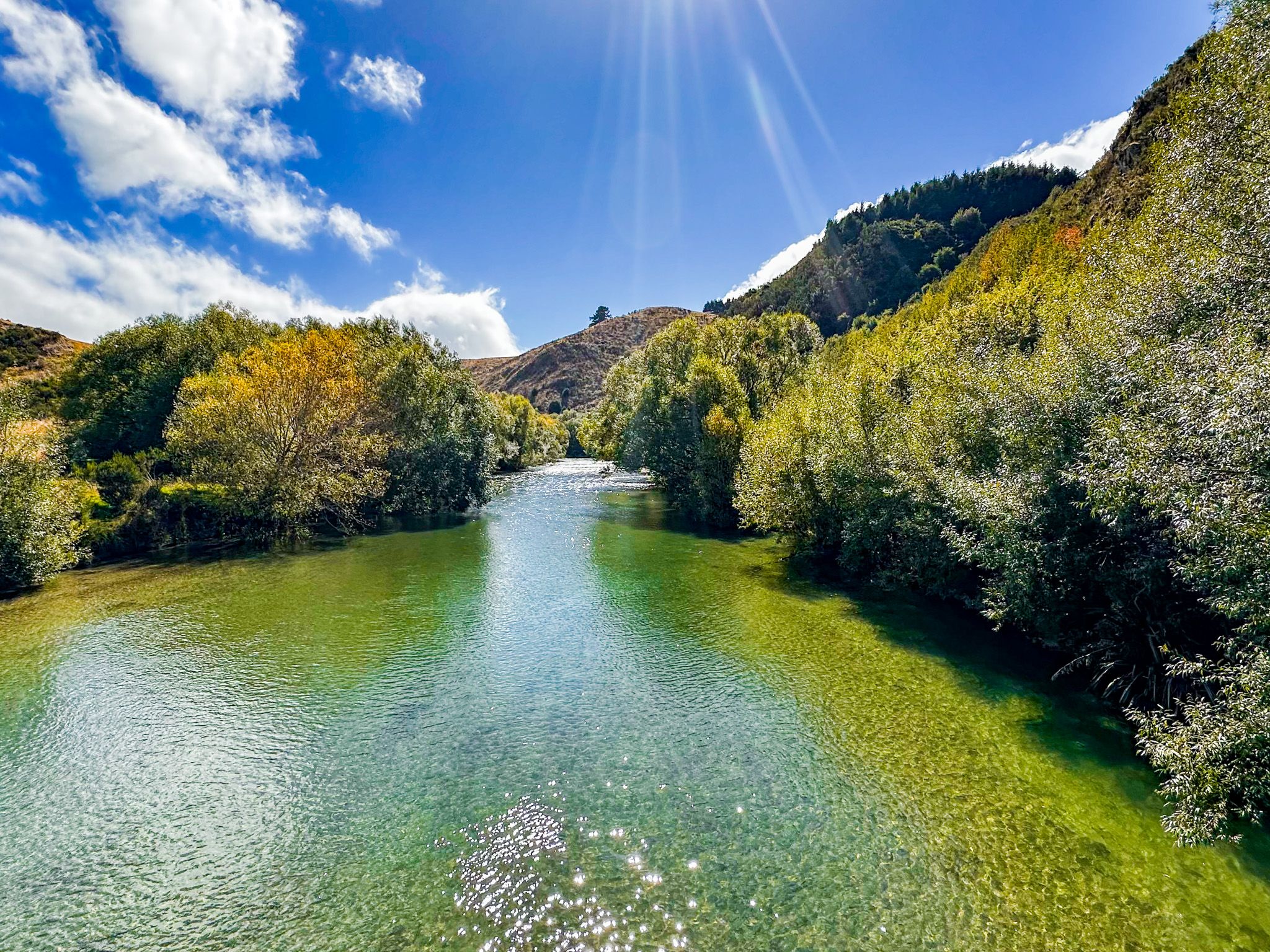
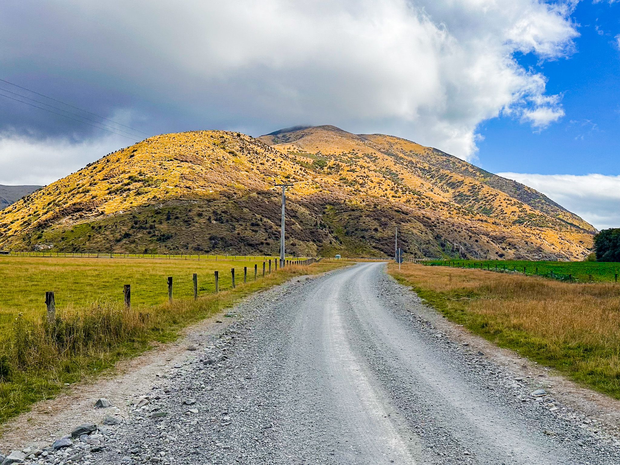
The Nokomai Valley lies in the hills of northern Southland, tucked between the Garvie Mountains to the east and the Slate Range to the west, about an hour south of Queenstown. The Nokomai River rises on Mount Tennyson and flows south-westerly through the valley to join the Mataura River at the Nokomai Gorge. Nokomai Road turns off State Highway 6 near Athol and follows the Mataura River into the valley to the confluence with the Nokomai River on a scenic gravel road. The first European settler to name the valley called it Glenfalloch: the hidden valley, and it still fits.
Gold Rush and a Vanished Town
Alluvial gold was discovered deep in the valley in September 1862 by James Lamb and a small group of Victorian miners, who named their find Victoria Gully after their home colony. The discovery triggered a rush that brought around 2,000 miners into the area within months. By the late 1870s, a township stood in the valley with a wide main street, three hotels, a school for 50 children, and its own hand-written newspaper, the Nokomai Weekly Herald.
Charles Sew Hoy, a Chinese-New Zealand entrepreneur, arrived in 1894 and built two aqueducts to bring water to the valley for hydraulic sluicing, the longer of which ran 47 km from Roaring Lion Creek in the Garvie Mountains and took 30 men three years to cut by hand. However, by 1901, the population had dropped to 113, and by 1924, only Glenfalloch's stone homestead remained standing.
Mining continued in various forms well into the 20th century. A large dragline excavator operated throughout the 1930s until the last major mining company ceased operations in 1943. Some gold-seeking by dredging continued into the 1990s.
The Valley Today
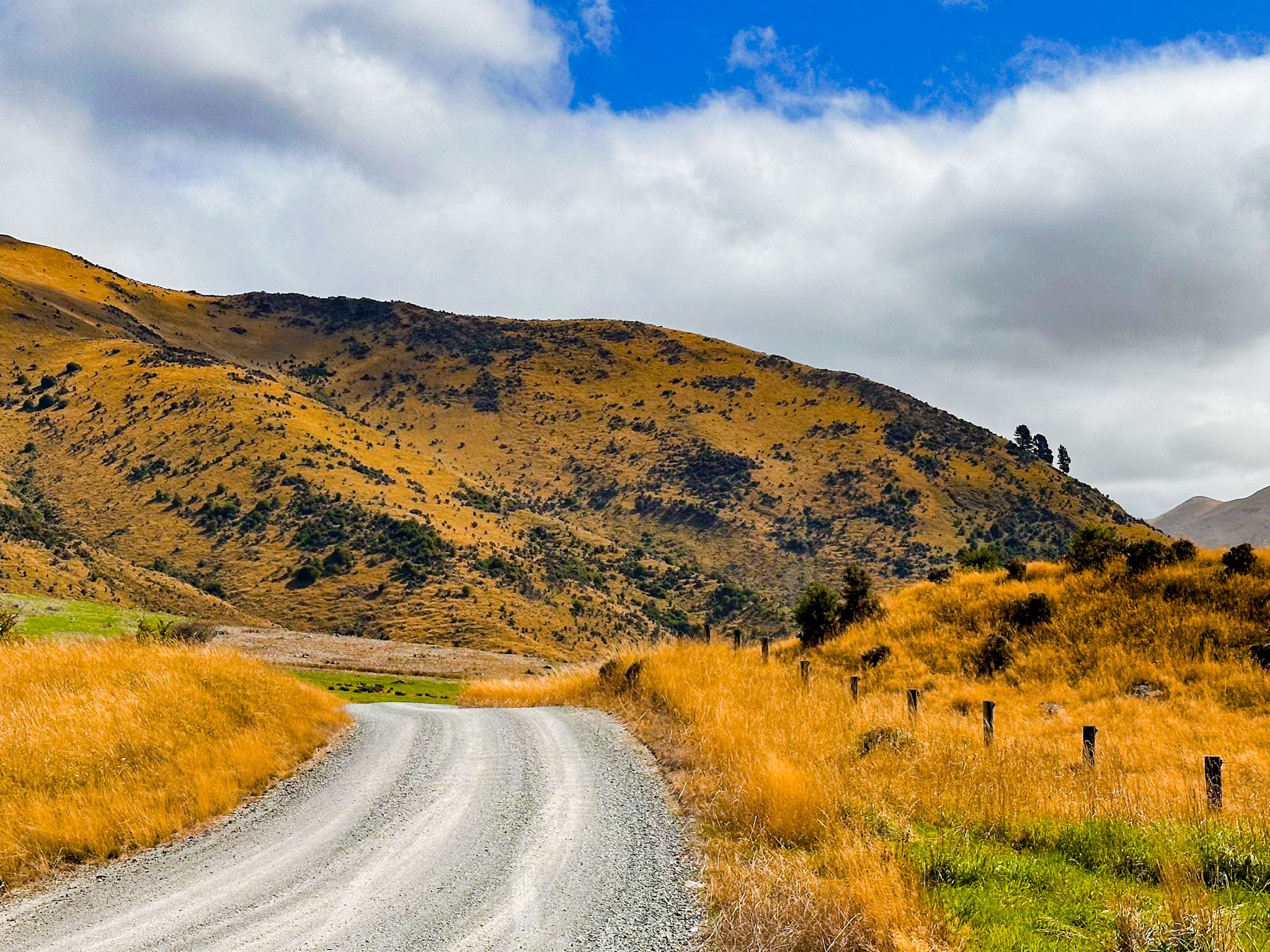
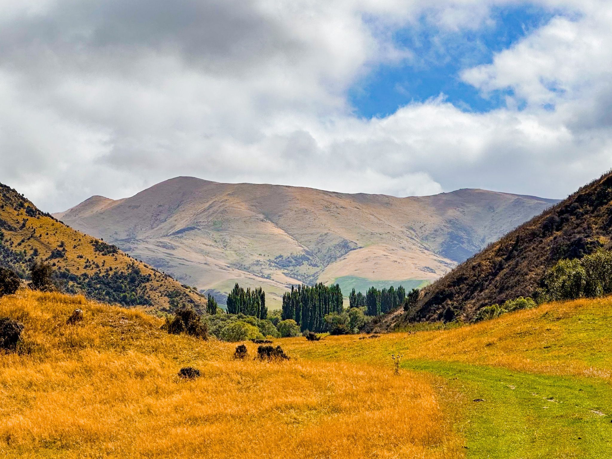
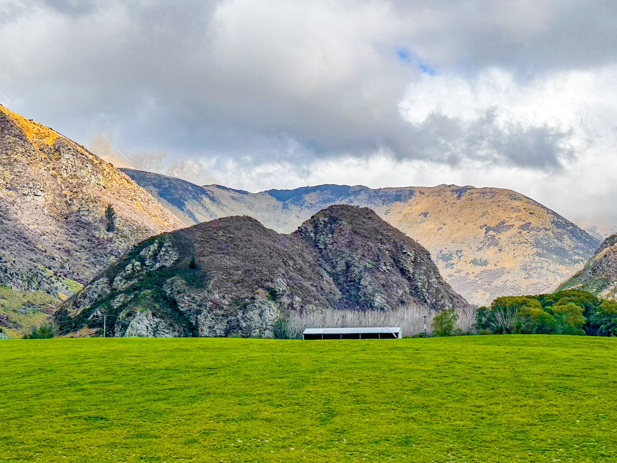
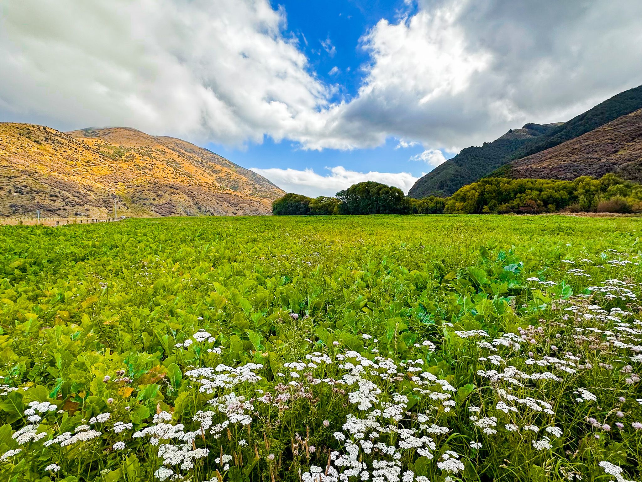
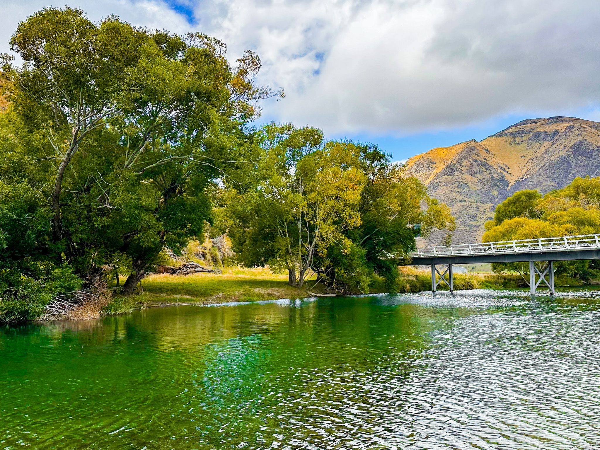
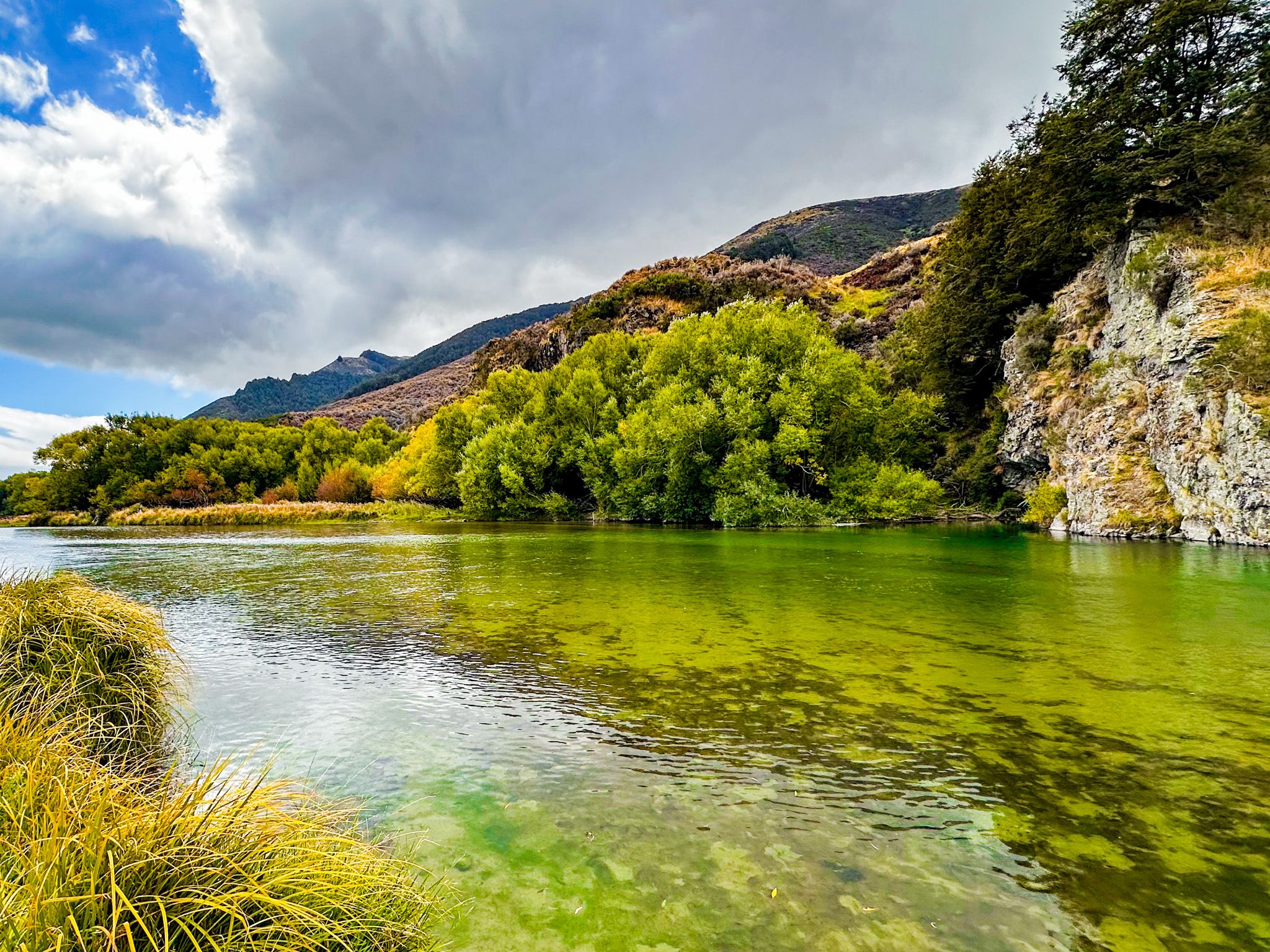
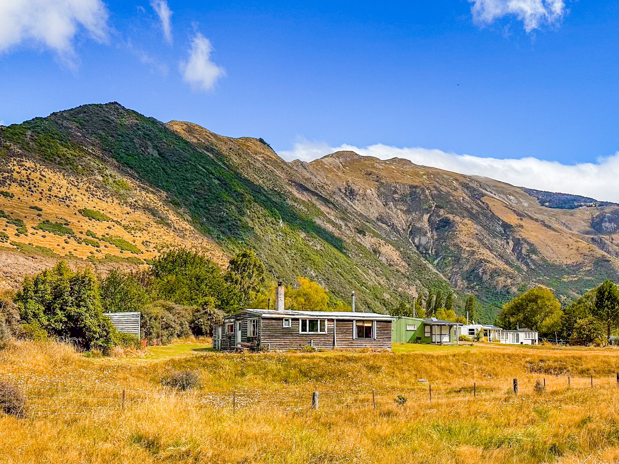
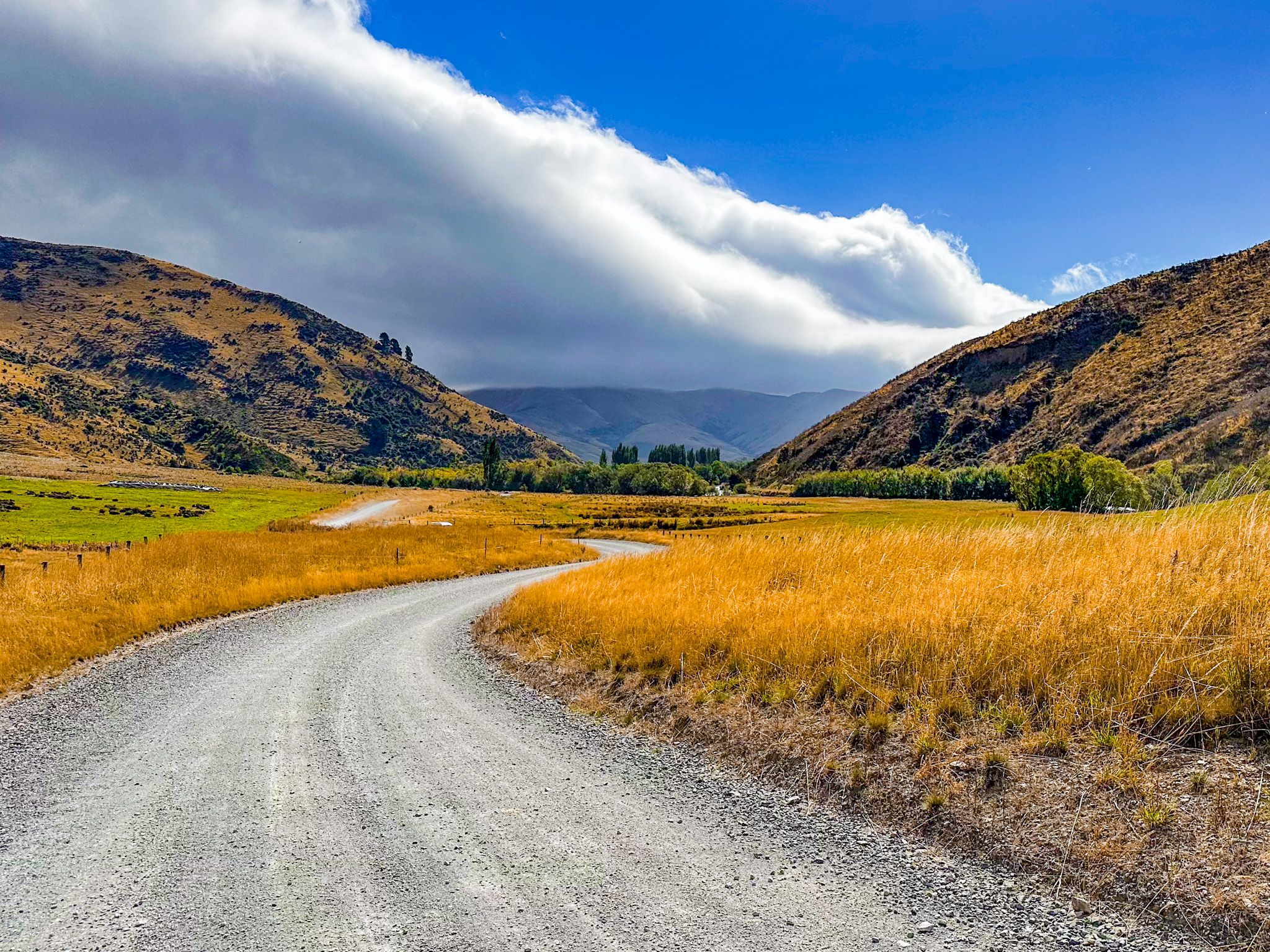
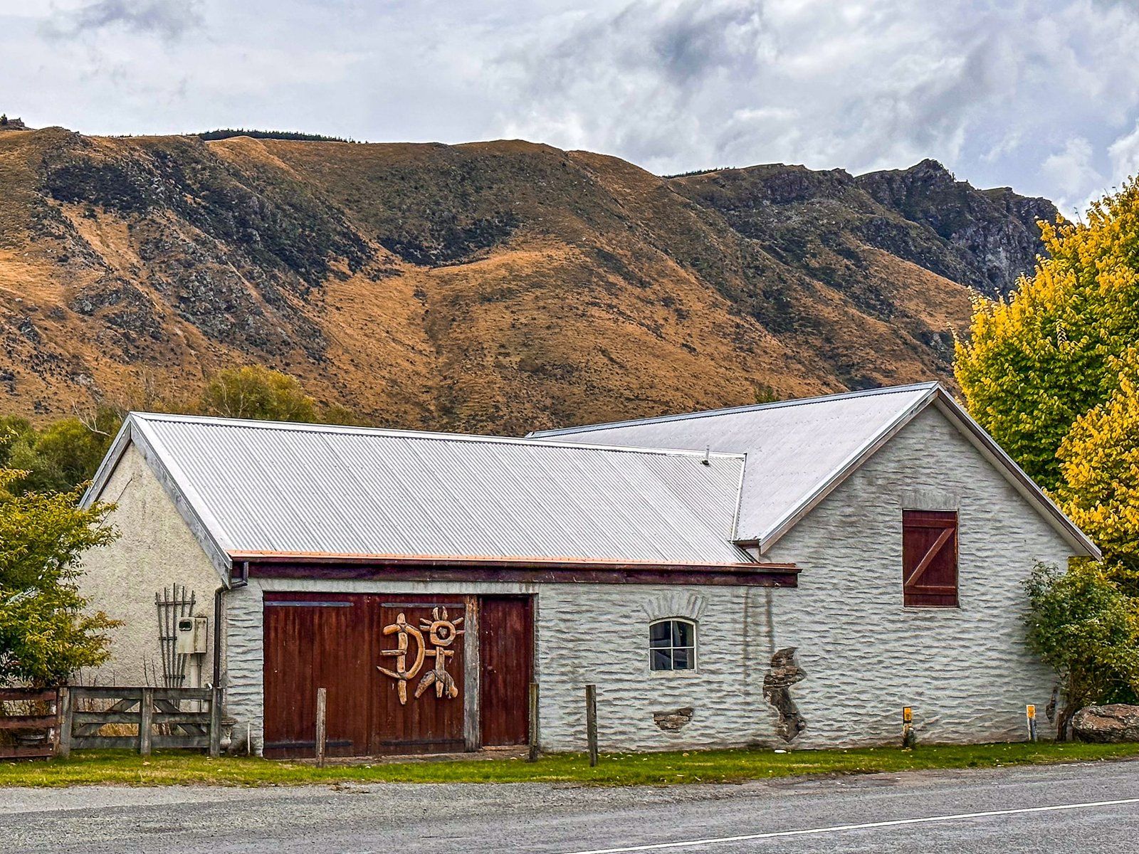
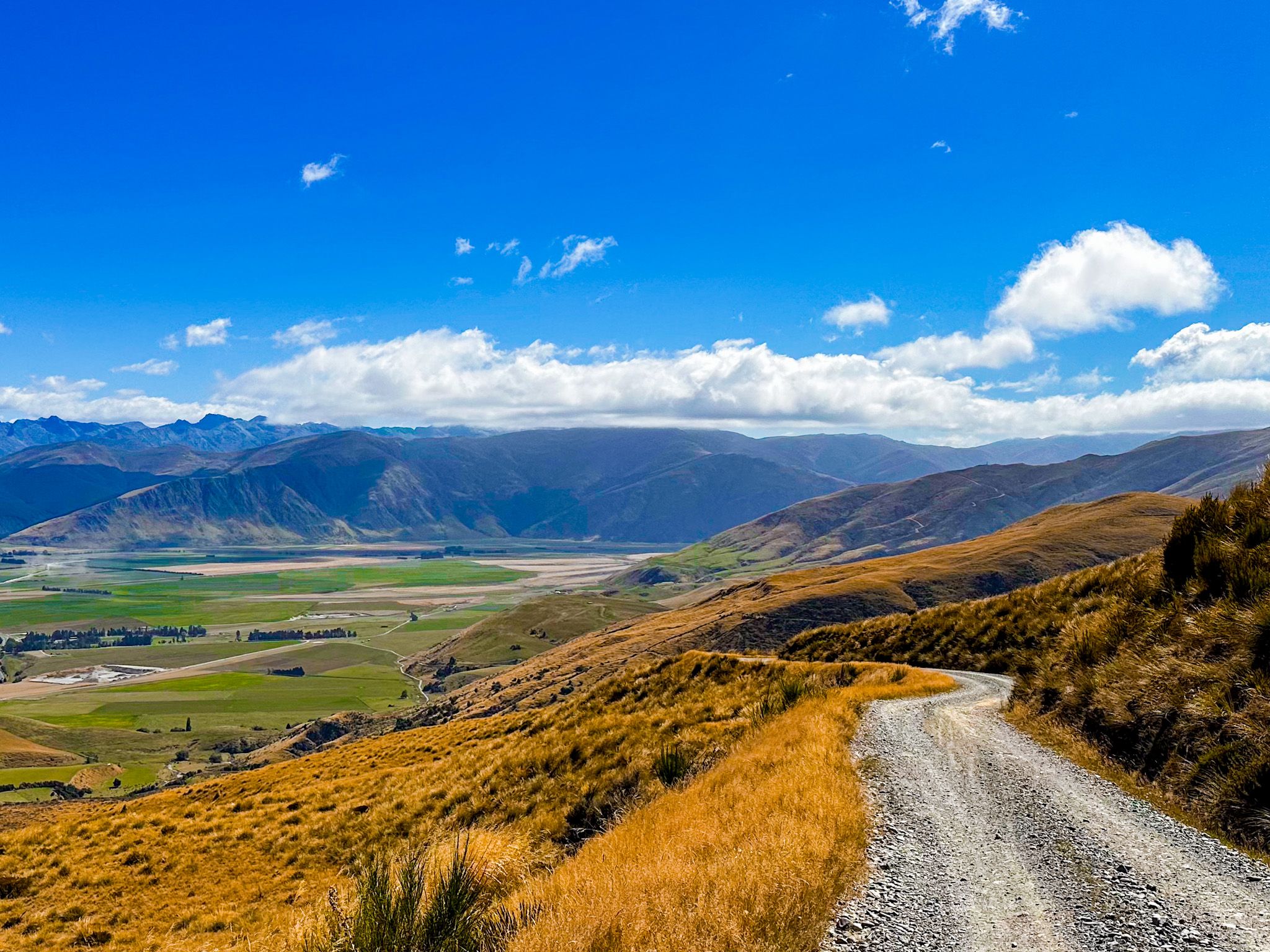
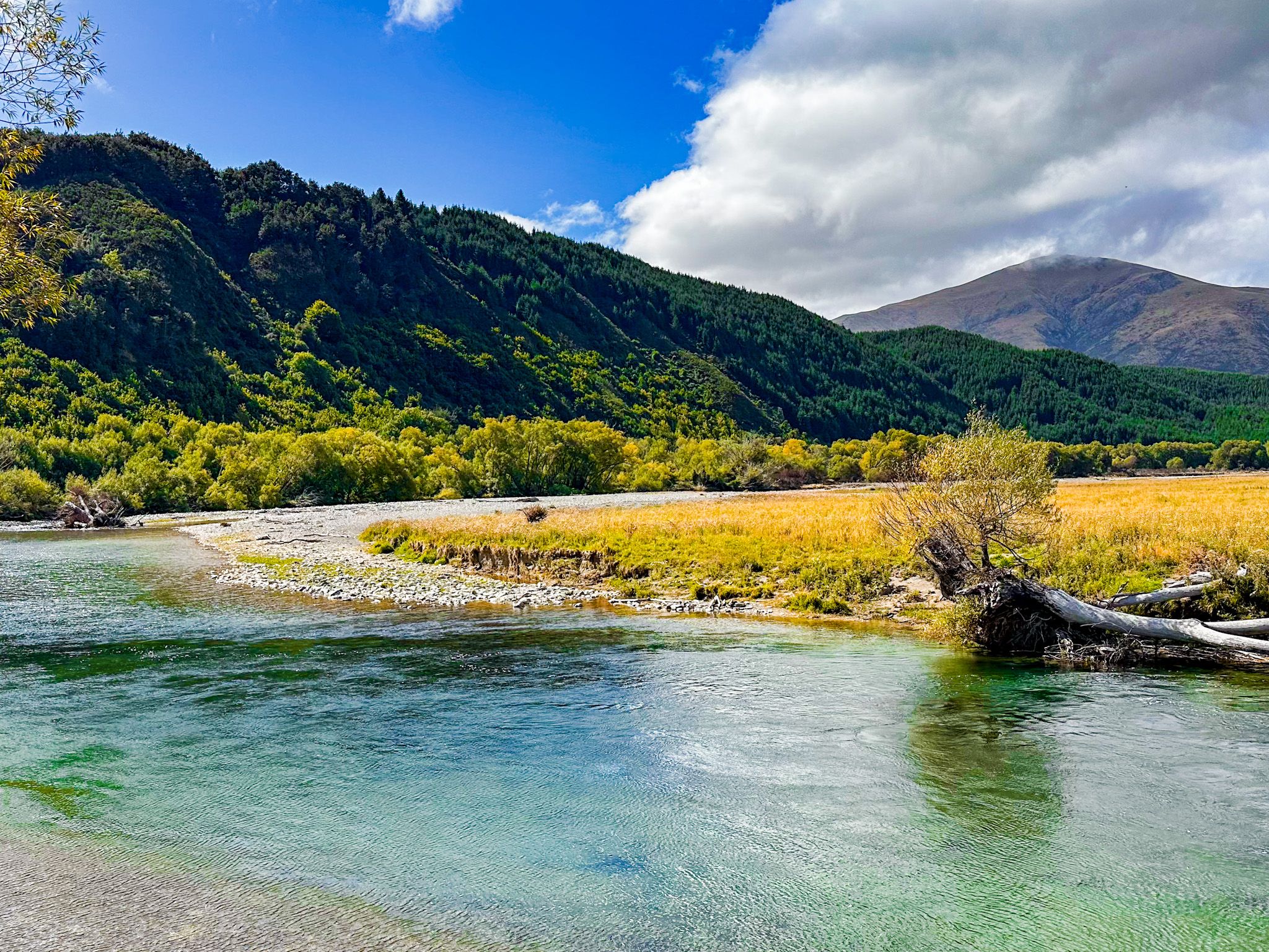
The landscape is open and grassy, ringed by tussock-covered hills and mountains that climb toward the schist outcrops of the Garvie range. As you continue along the road, you cross the Mataura River a couple of times, with a good view of the gorge in one instance. There are a few surprise cribs and houses before you enter the Nokomai Station, marked by a sign.
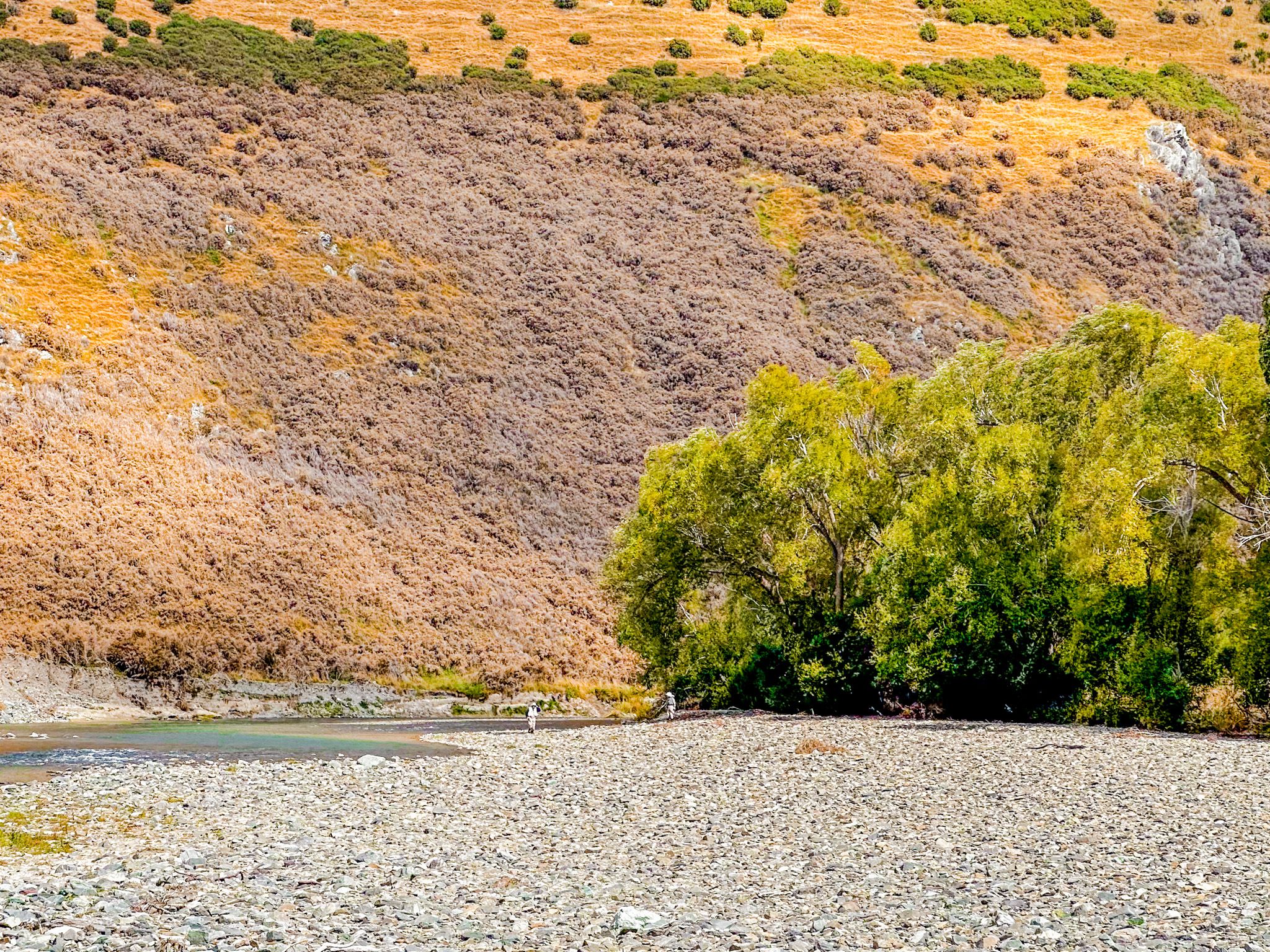
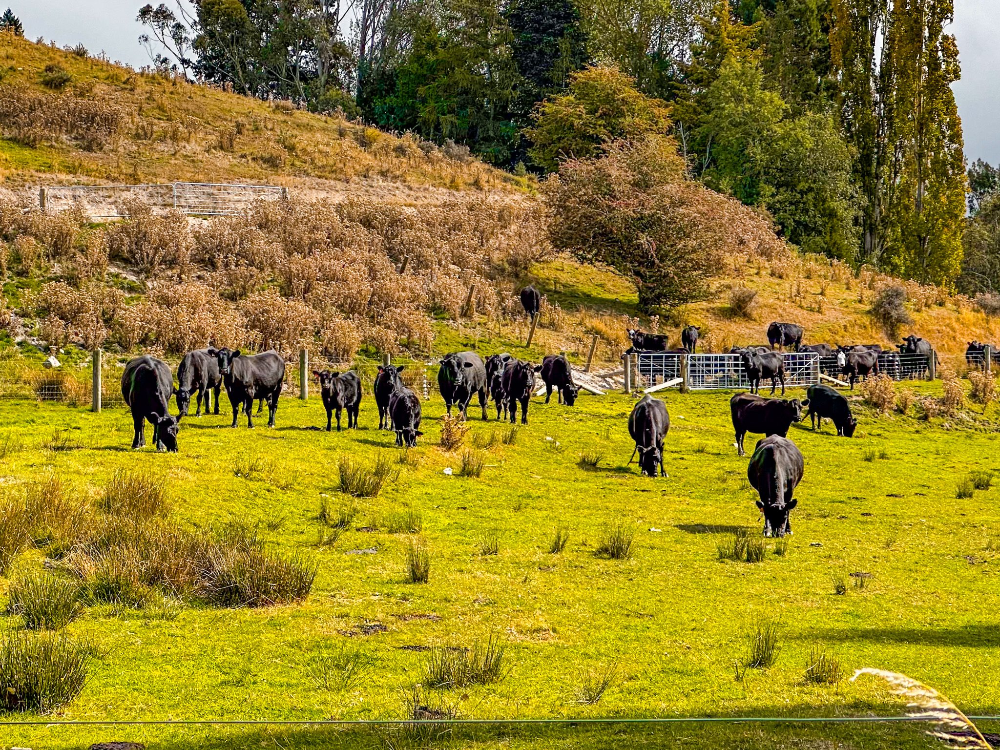
The Nokomai Station is a high-country, 40,000 ha merino sheep and cattle station. The station offers accommodation and guided fly fishing on the Mataura River. The river is internationally known, and the valley has exclusive access to some of the best fishing. There is also a camping area at the station towards the end of Nokomai Road.
How to Get There
From Queenstown, drive south on the Southern Scenic Route (State Highway 6) for about 65 km to the small township of Athol, then continue a further seven km to the signposted Nokomai Road turnoff on the left. The road is unsealed and follows the Nokomai River into the valley, with the station and camping area towards the end. Allow about 15 to 20 minutes from the highway.
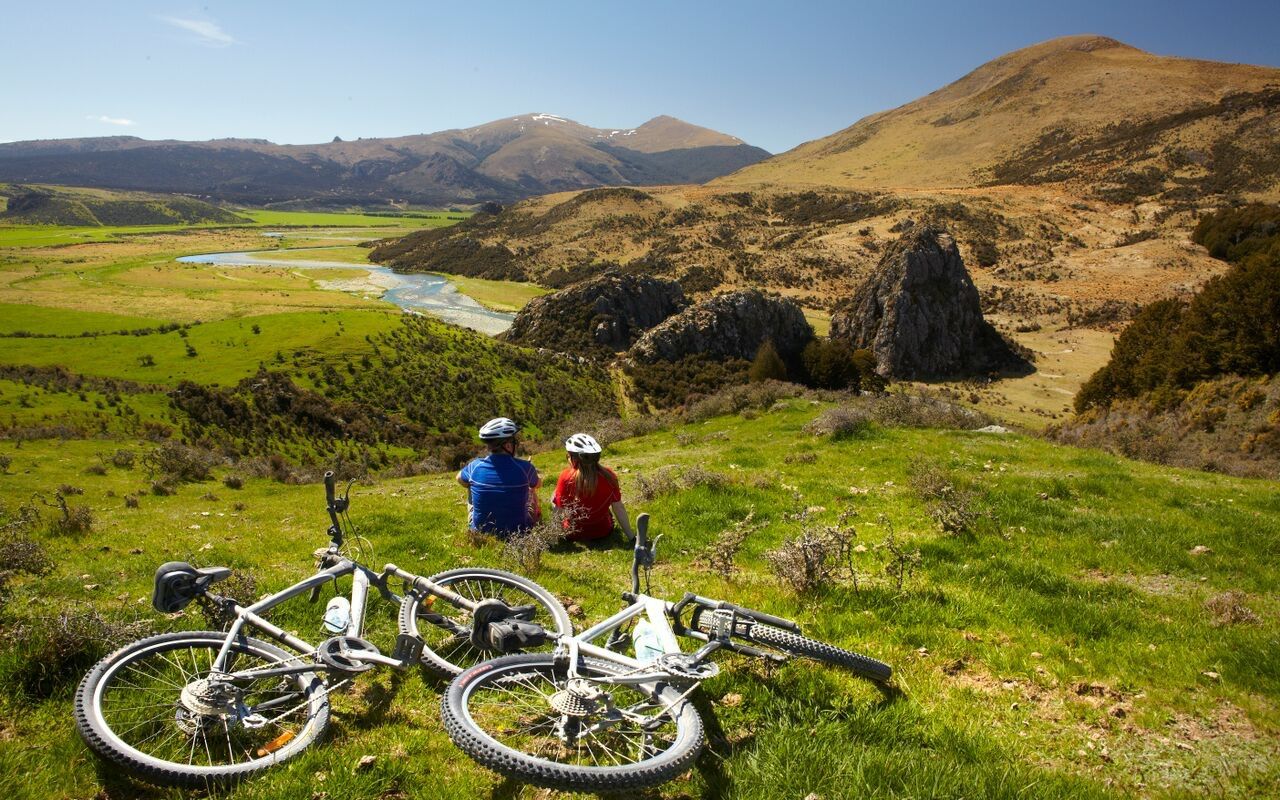
Garston and Athol are worth a stop on the way, with cafés, a general store and art galleries. The Around the Mountains Cycle Trail also runs through the area.
Other nearby places to visit include Lumsden, the south end of the Nevis Road, with access to the Roaring Lion Trail, Fairlight and Kingston at the southern end of Lake Wakatipu.