A Forested Stream Walk in Henderson
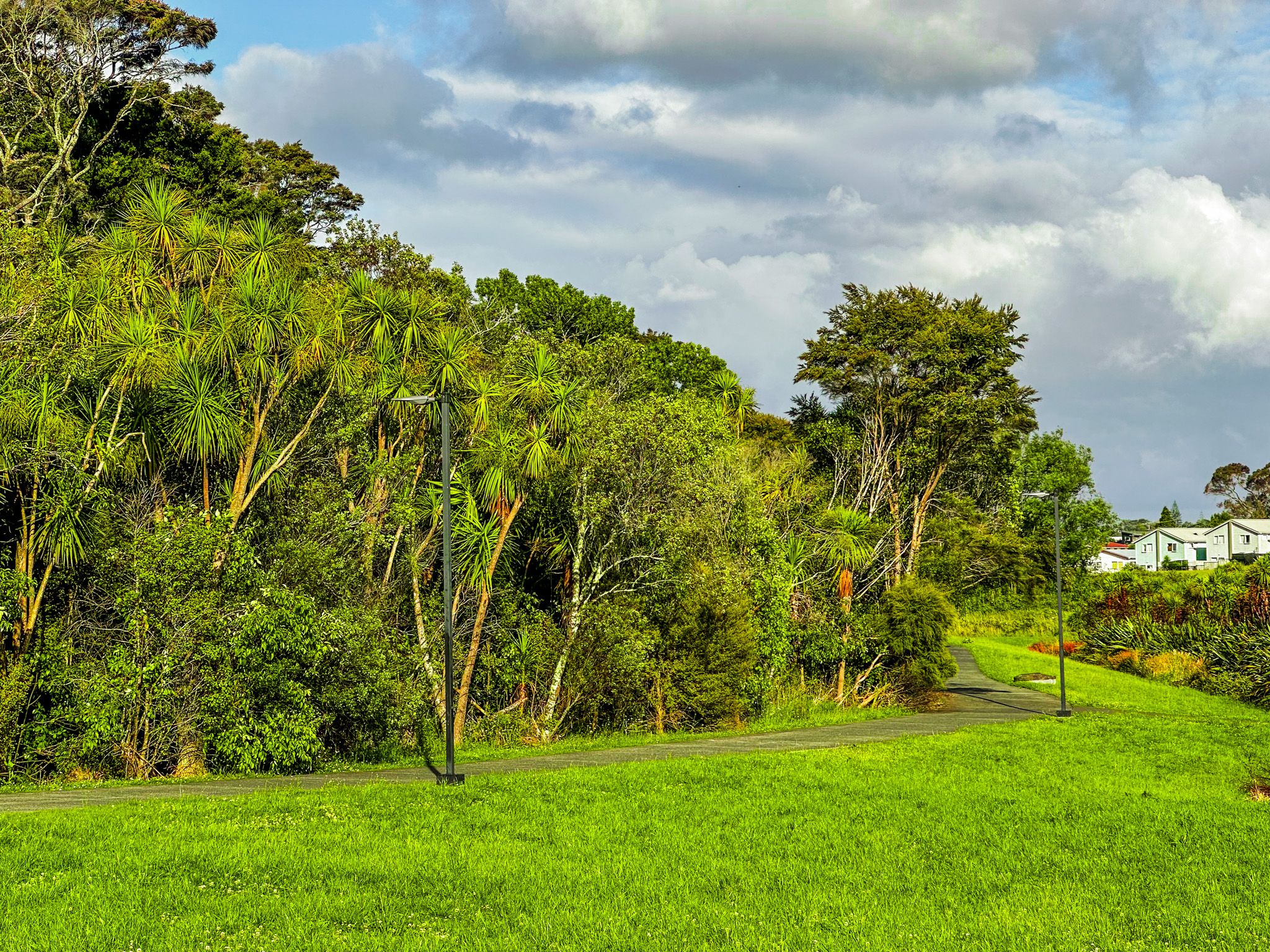
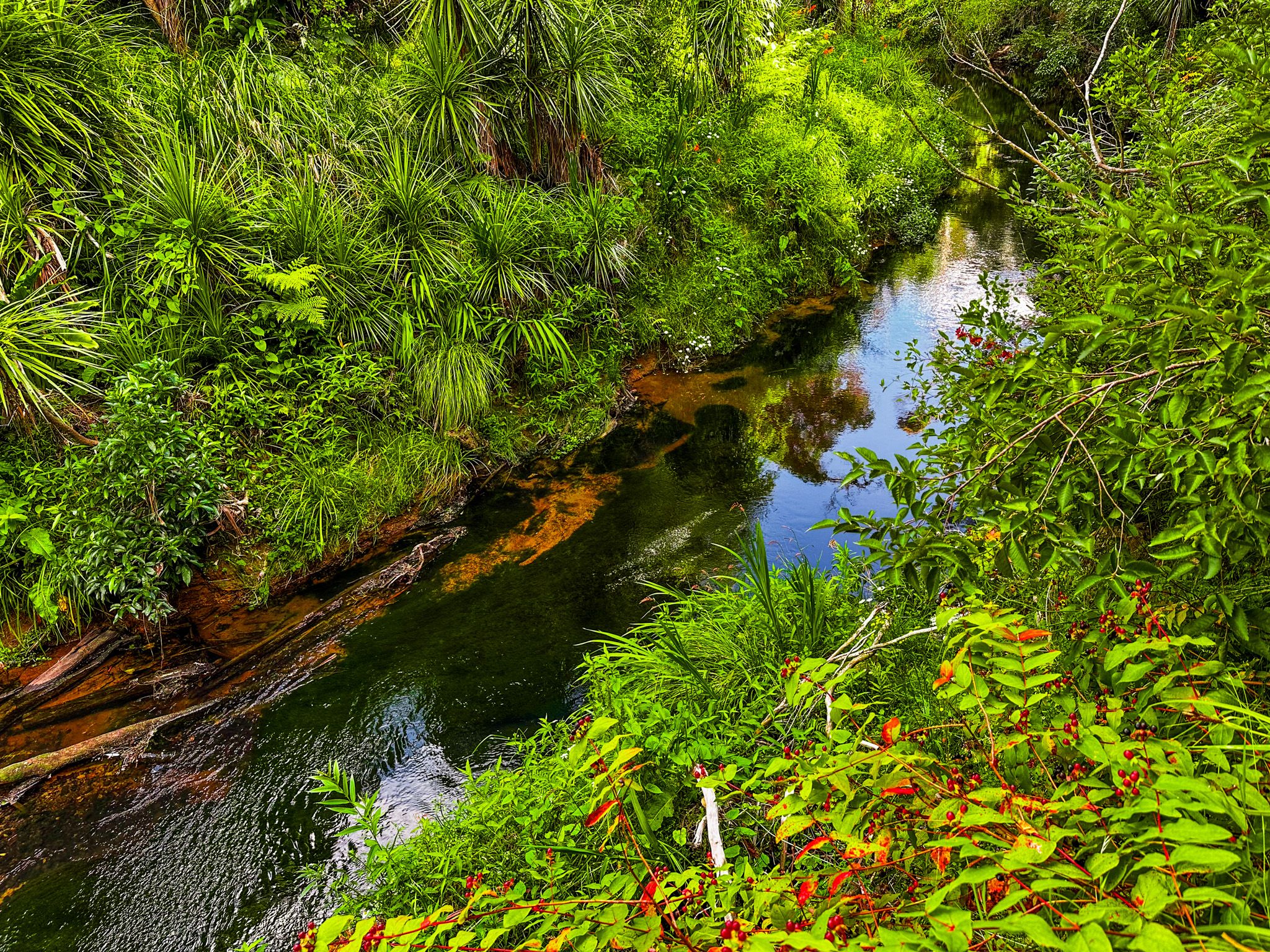
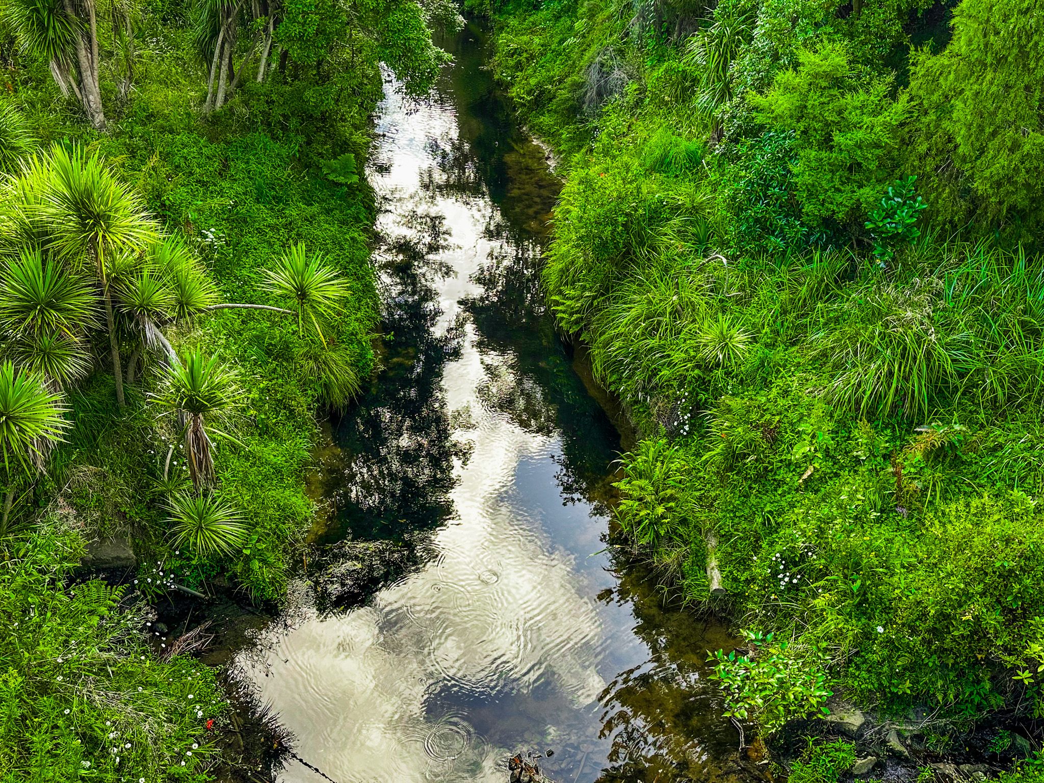
The Ōpānuku Walkway follows the Ōpānuku Stream for roughly four km through the suburb of Henderson in West Auckland, connecting Corban Estate Art Centre in the north with Henderson Valley Road in the south. It is a flat, family-friendly shared path through old forest, native plantings, and open park space, and is one of the more pleasant urban green corridors in Auckland Tūī, pīwakawaka, and kōtare (kingfisher) are regularly seen along the stream.
The Stream and the Twin Streams project
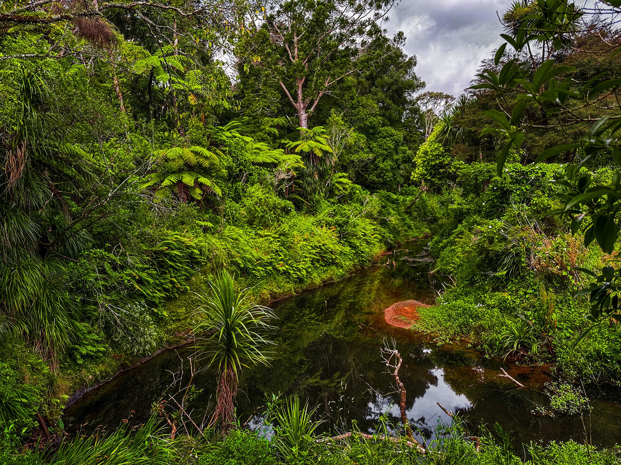
The Ōpānuku rises high in the Waitākere Ranges and flows east and north through Henderson Valley before joining Henderson Creek and reaching the Waitematā Harbour at Te Atatu. Like many Auckland streams, it was significantly degraded by urban development and the loss of forest cover in its catchment. The walkway was developed as part of Project Twin Streams, an award-winning community and environmental initiative, which focused on restoring both the Ōpānuku and its sister stream, the Ōrātia. The project combined stream restoration, native planting, flood protection, and the creation of shared paths along the corridor.
Walking the Path
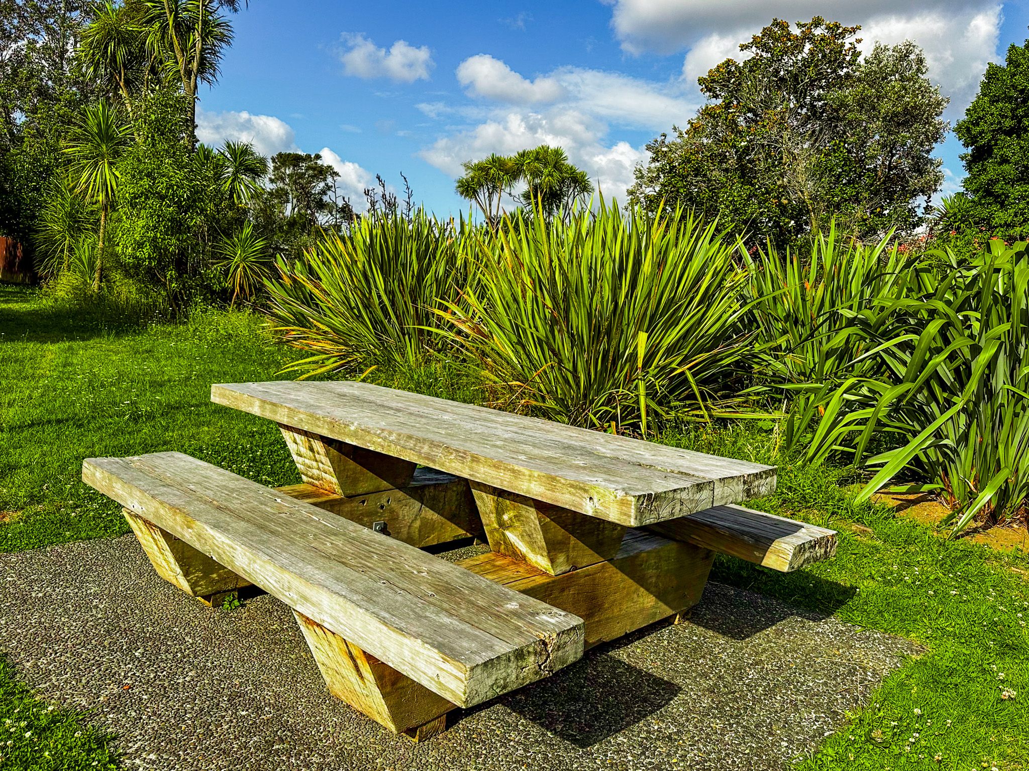
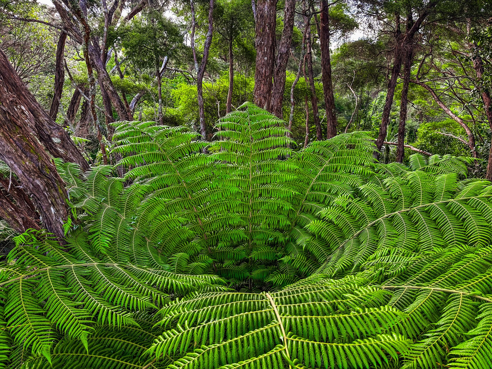
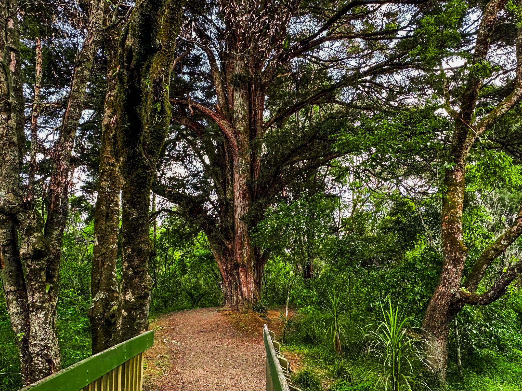
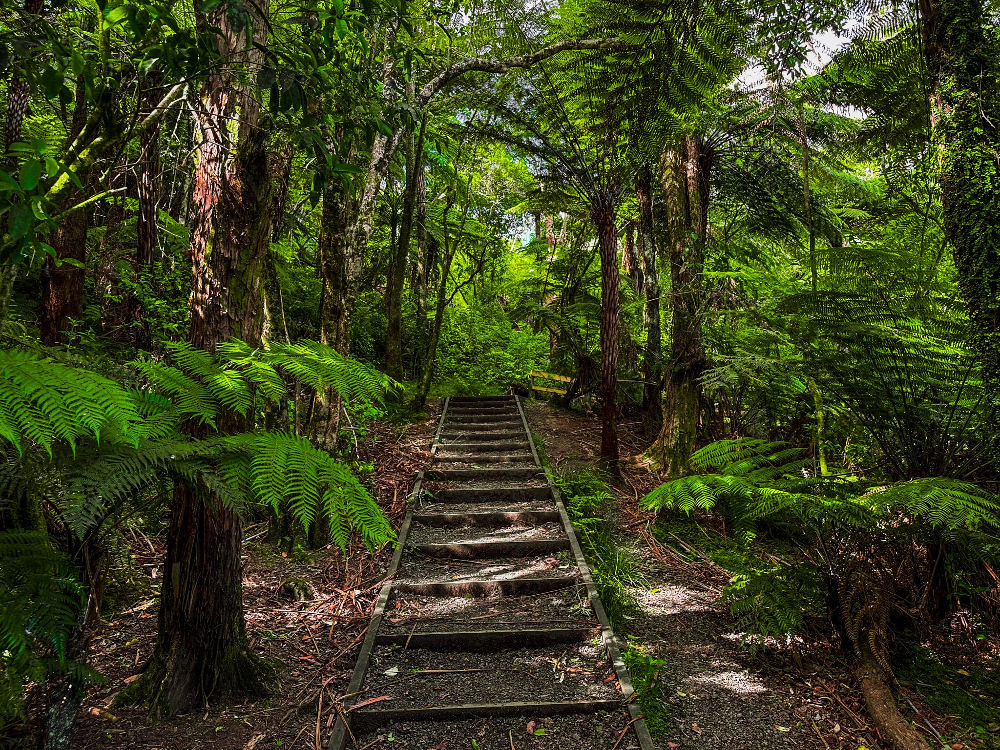
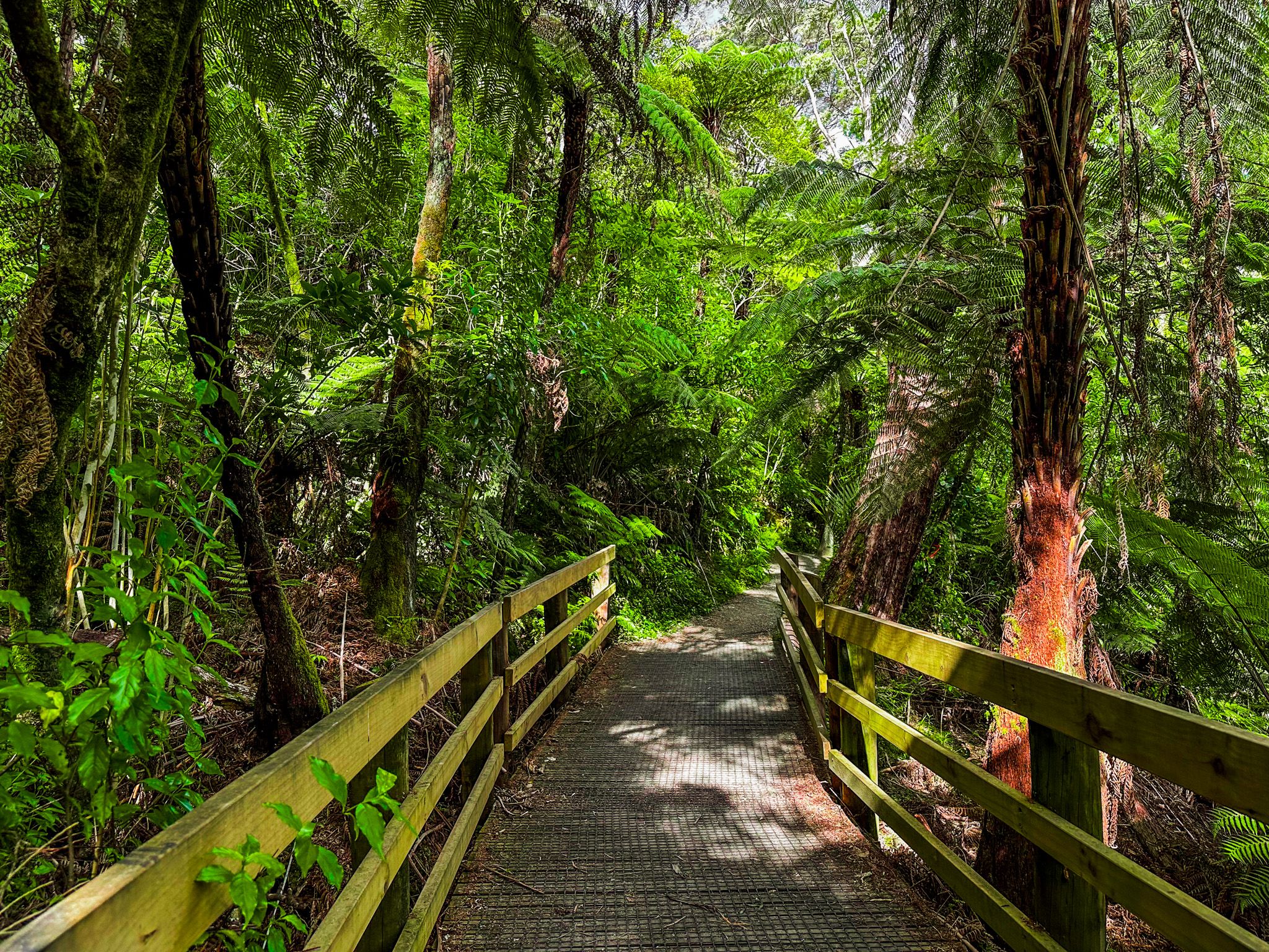
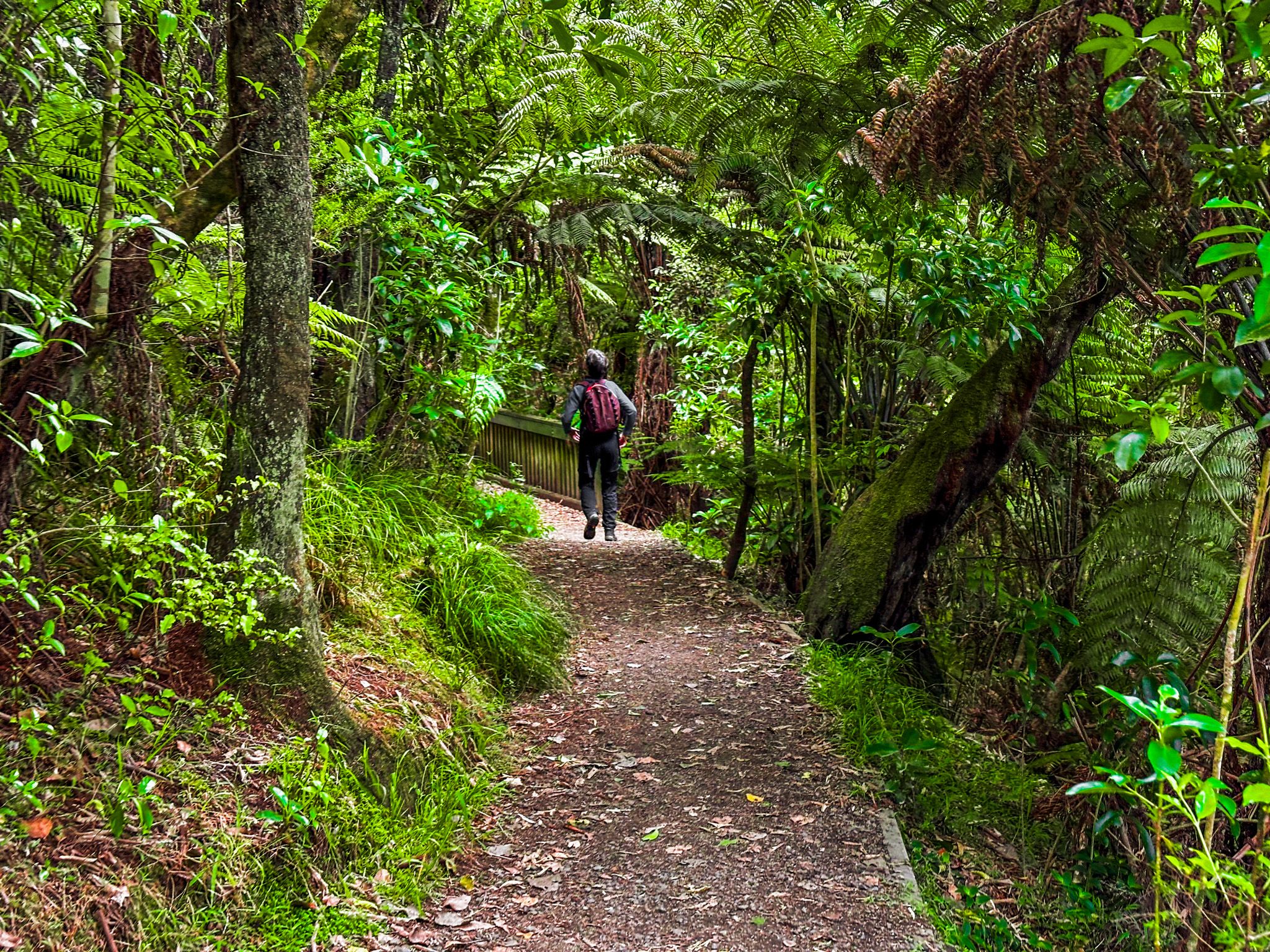
The walkway is sealed along most of its length and is suitable for walkers, runners, and cyclists. Access points include Great North Road at the Corban Estate end and Henderson Valley Road at the southern end. The stretch between Palomino Drive / Border Road and Henderson Valley Road is particularly pleasant: a loop track around both sides of the stream, passing through a remnant mature native forest, riverside plantings and paddocks.
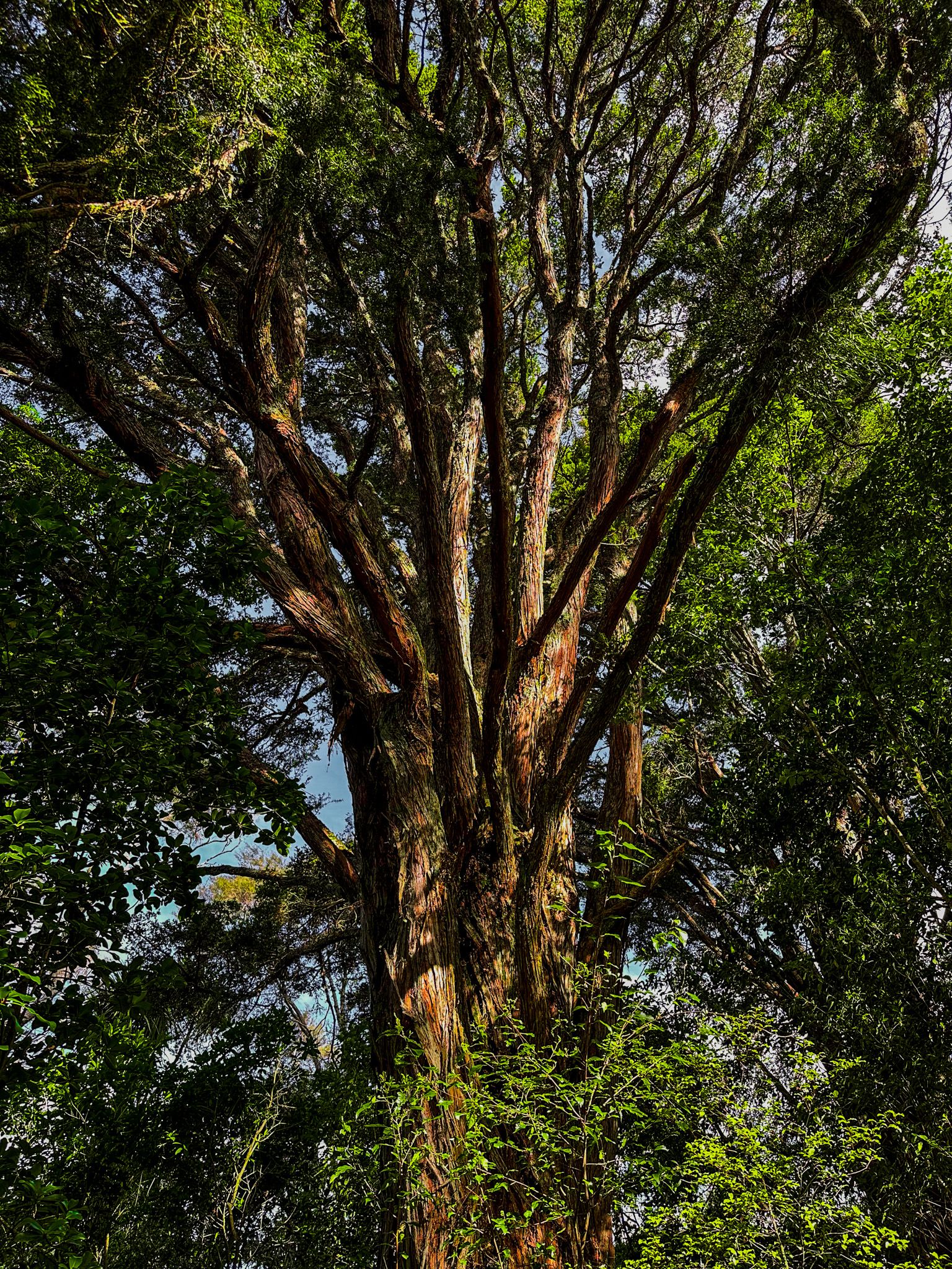
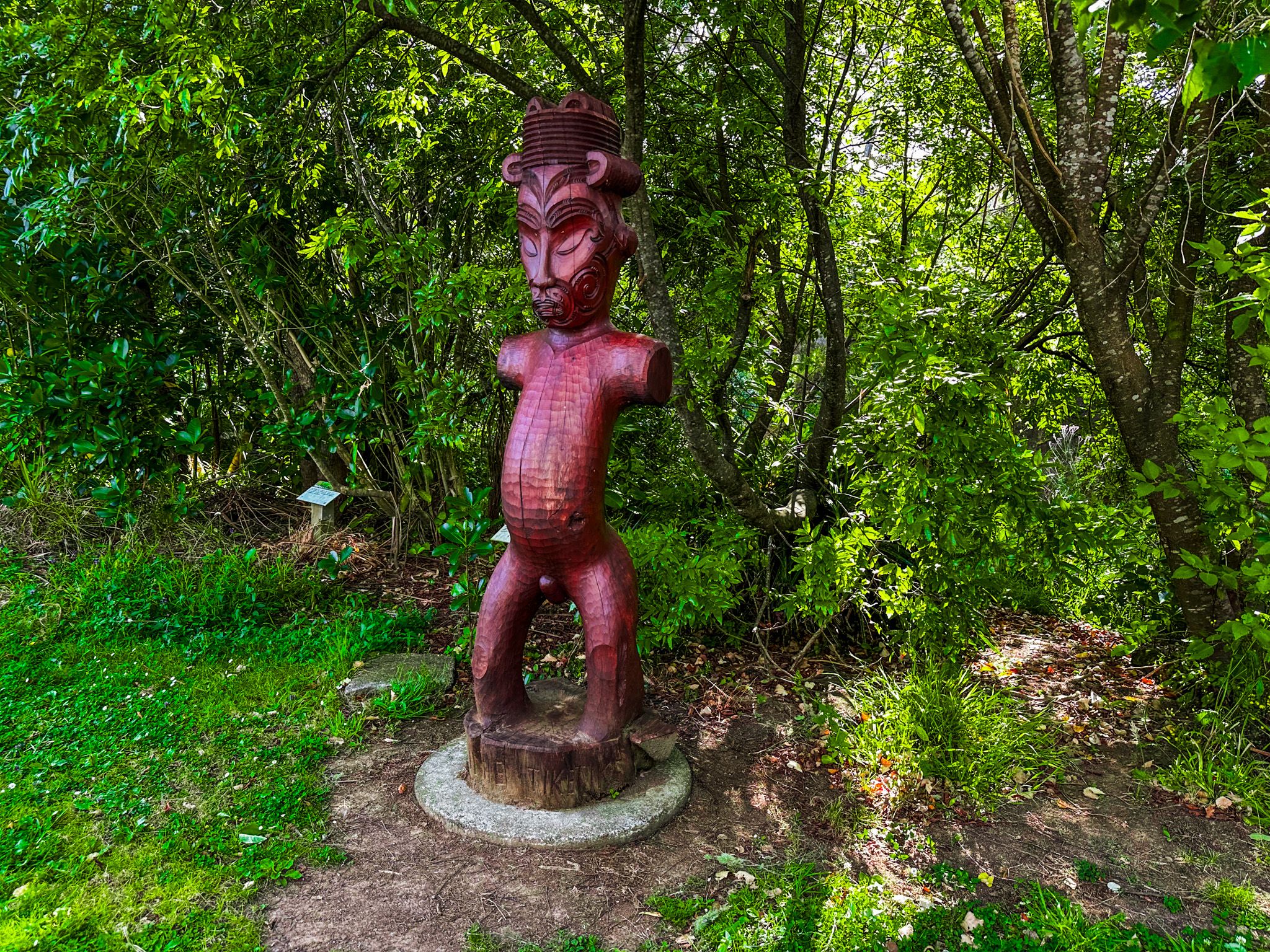
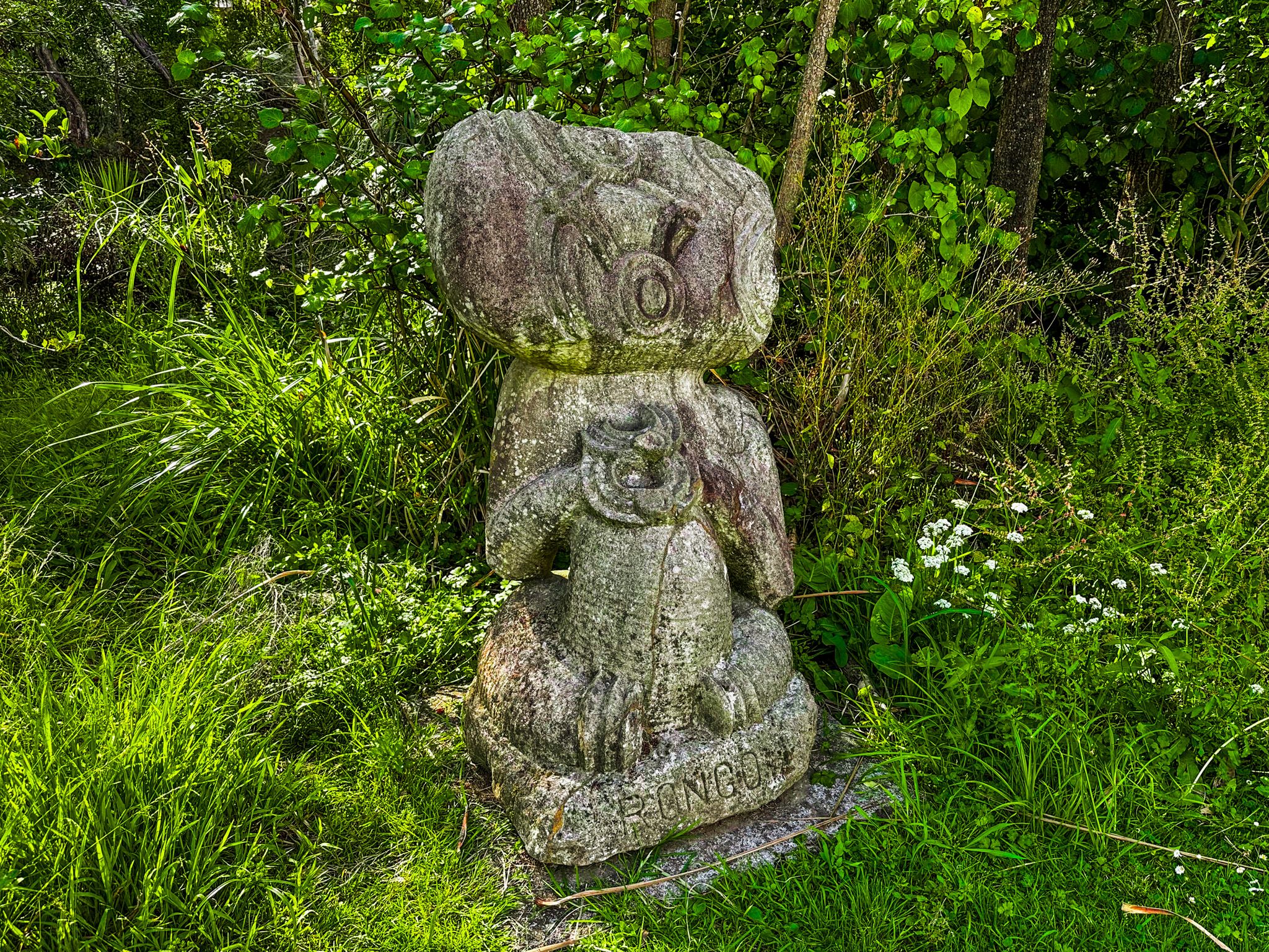
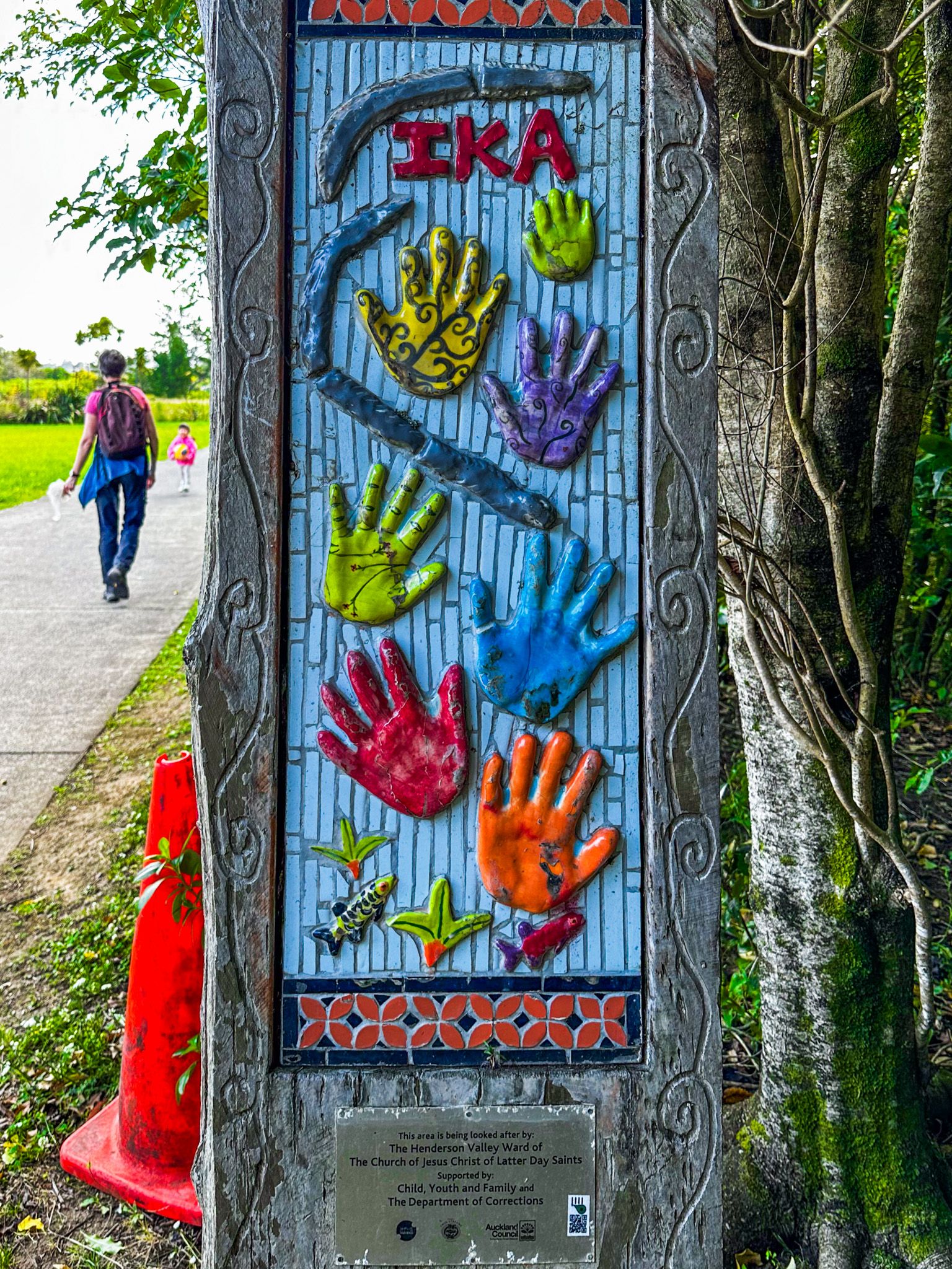
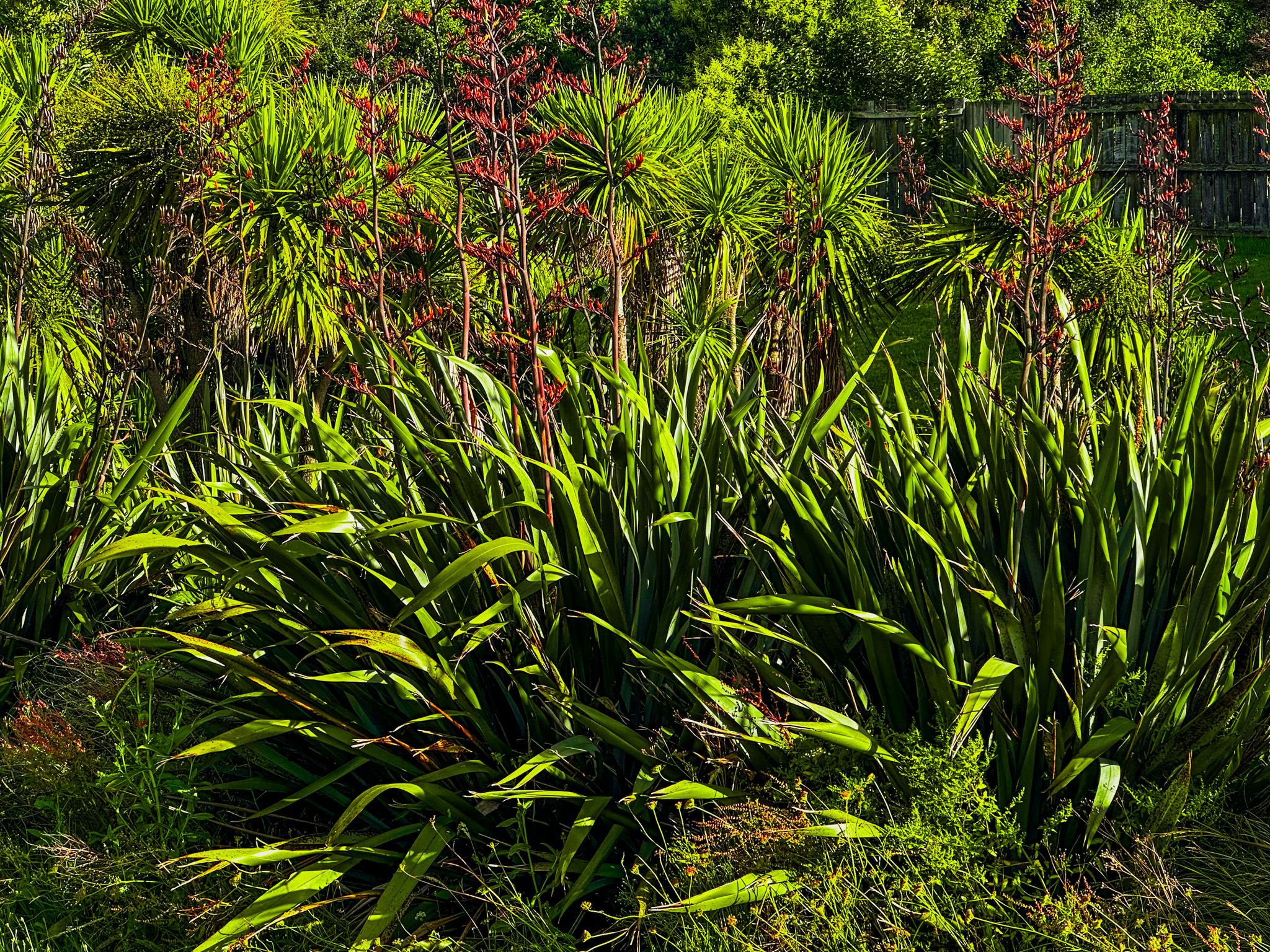
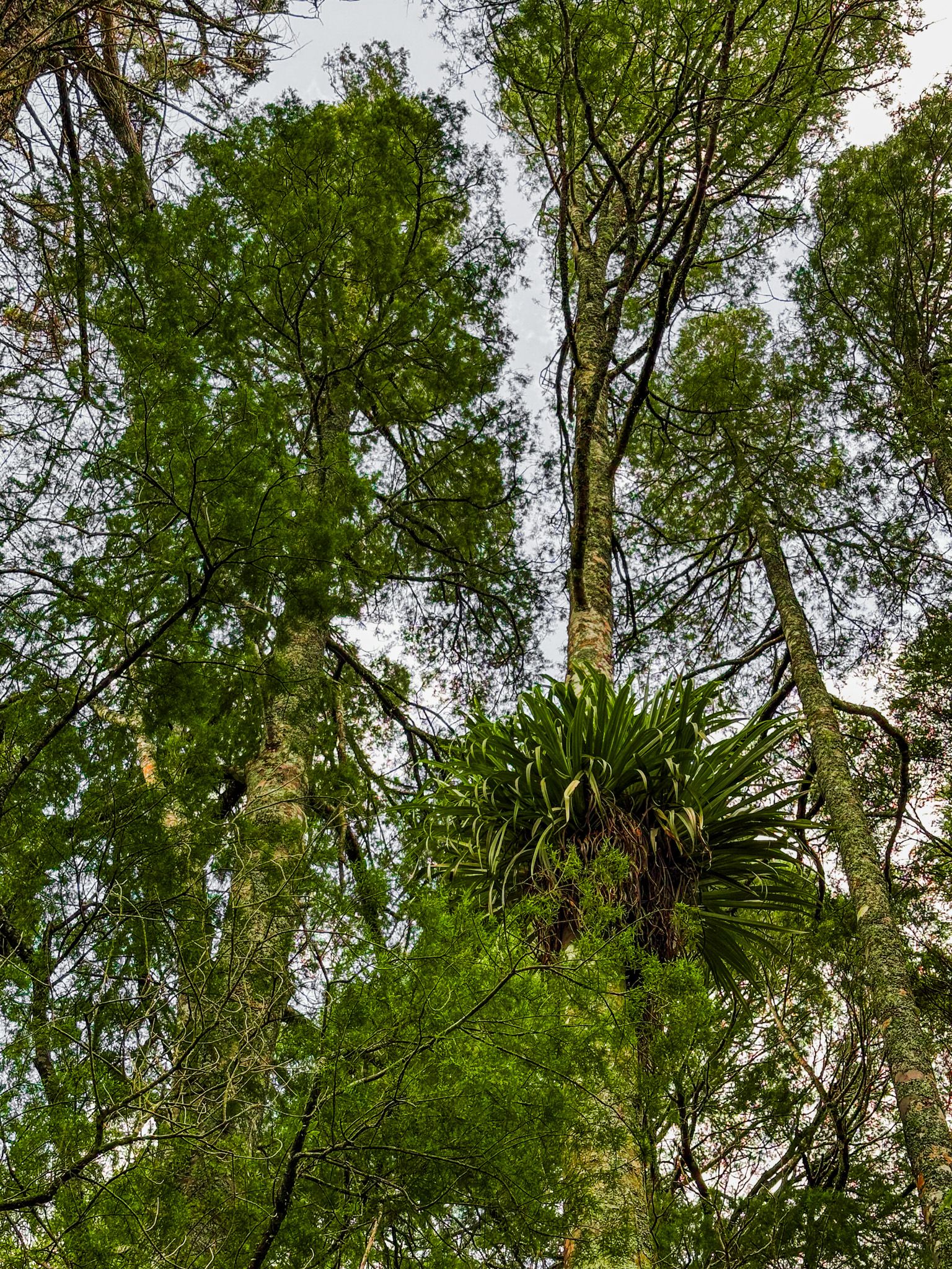
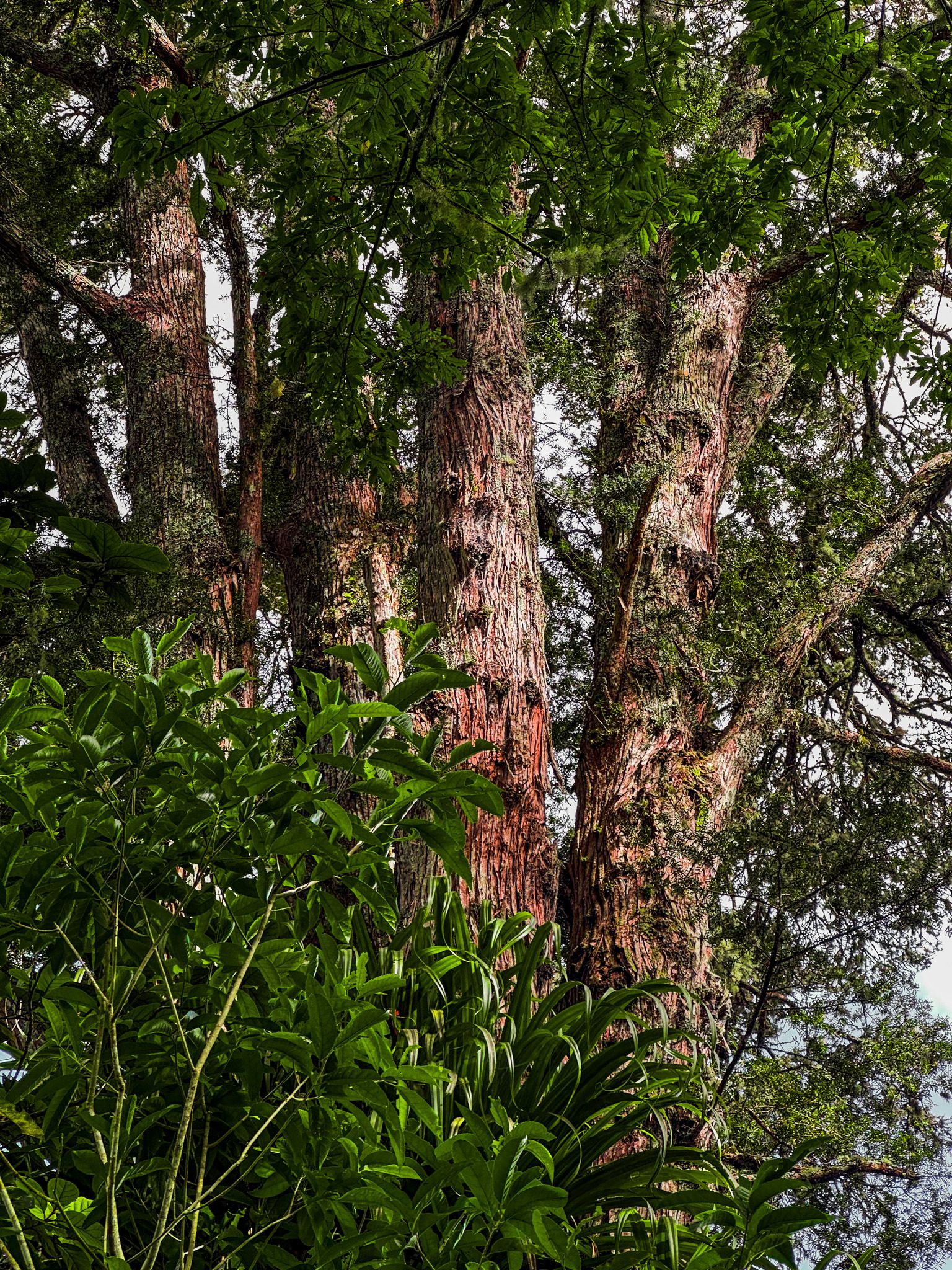
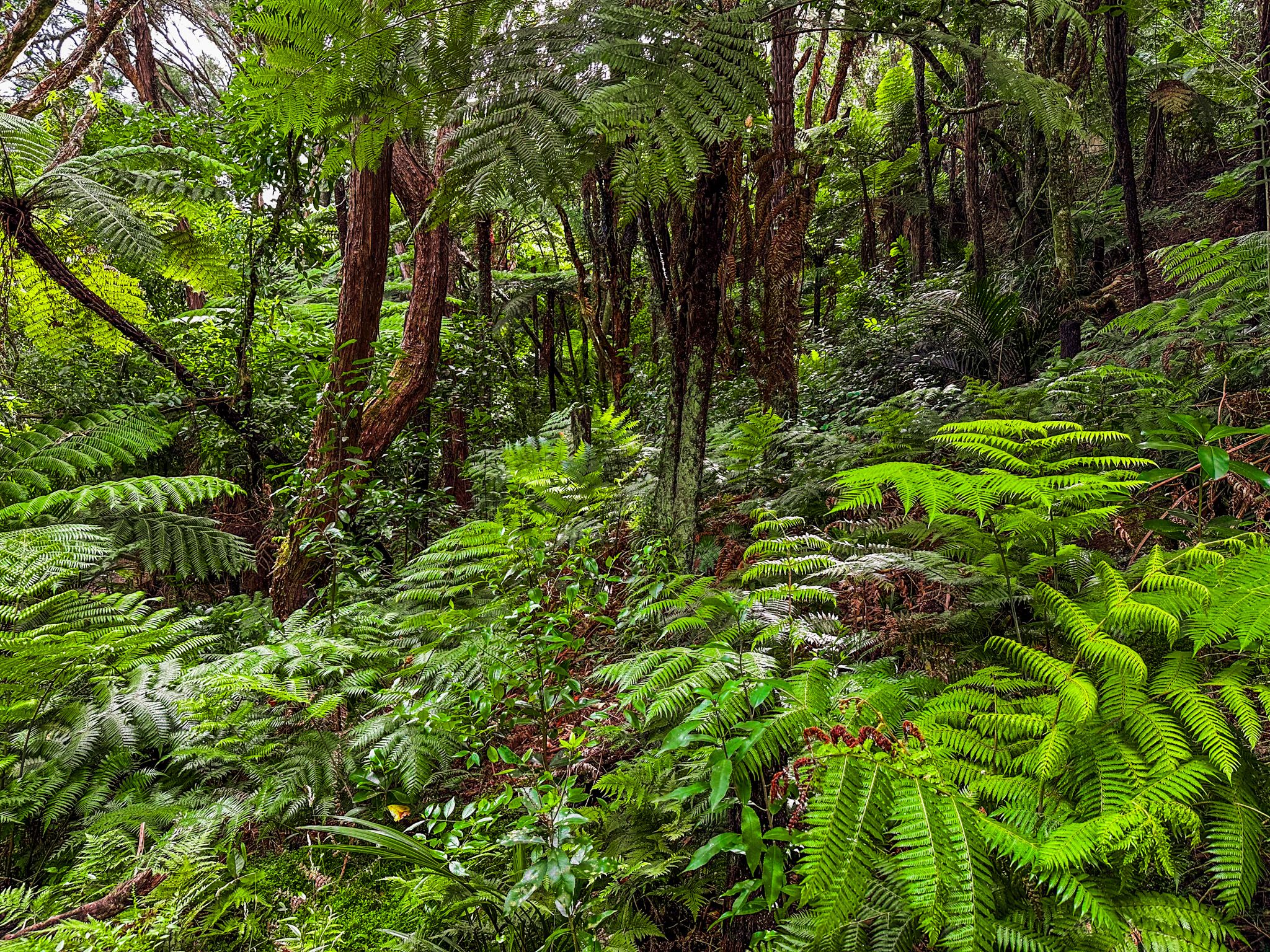
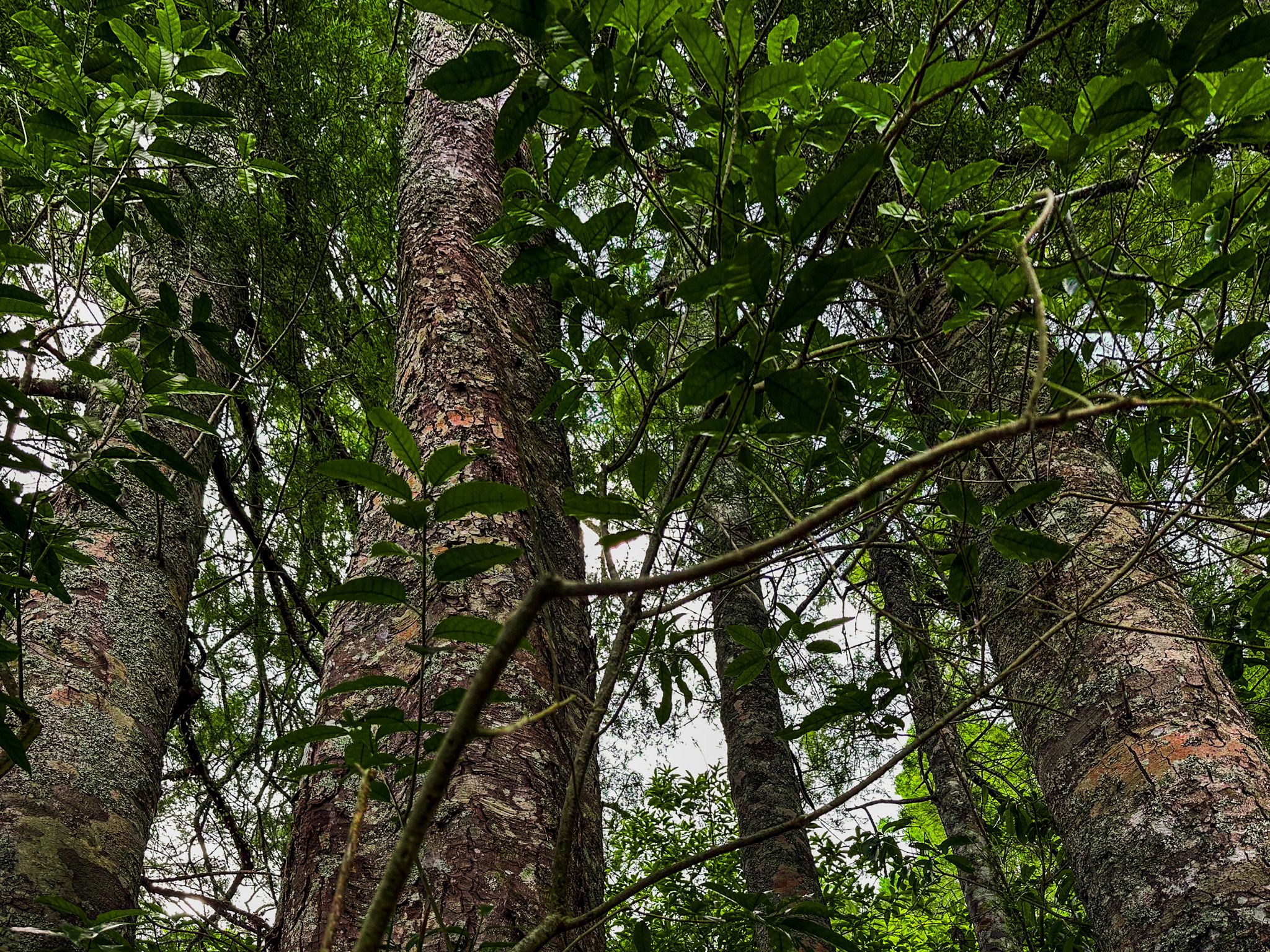
The remnant forest includes two mature kauri along with mature kahikatea and tōtara, giving a sense of what the valley once held. The restoration plantings have transformed what was previously a degraded stream margin into a productive habitat. Within this stretch, you will also find a pā harakeke (flax garden), a rongoā Māori medicinal plant garden, and various Māori carvings and plant identification signage.
The full one-way distance of around four km takes about an hour at a comfortable pace; the path is flat throughout.
The Name Ōpānuku
The Ōpānuku Stream takes its name from a Māori legend. The warrior Nihotupu raided the kūmara gardens of a chief named Panuku near Te Henga (Bethells Beach) and kidnapped his wife, Parekura. She left a trail of feathers from her cloak on the ground as she was taken, allowing Panuku to follow the pair to a cave. In the ensuing battle, Panuku killed Nihotupu. Three streams in the area recall the figures in the story: Parekura, Nihotupu, and Ōpānuku. The mana whenua of the area are Te Kawerau ā Maki, the iwi of the Waitākere Ranges and the western Auckland isthmus.
How to Get There
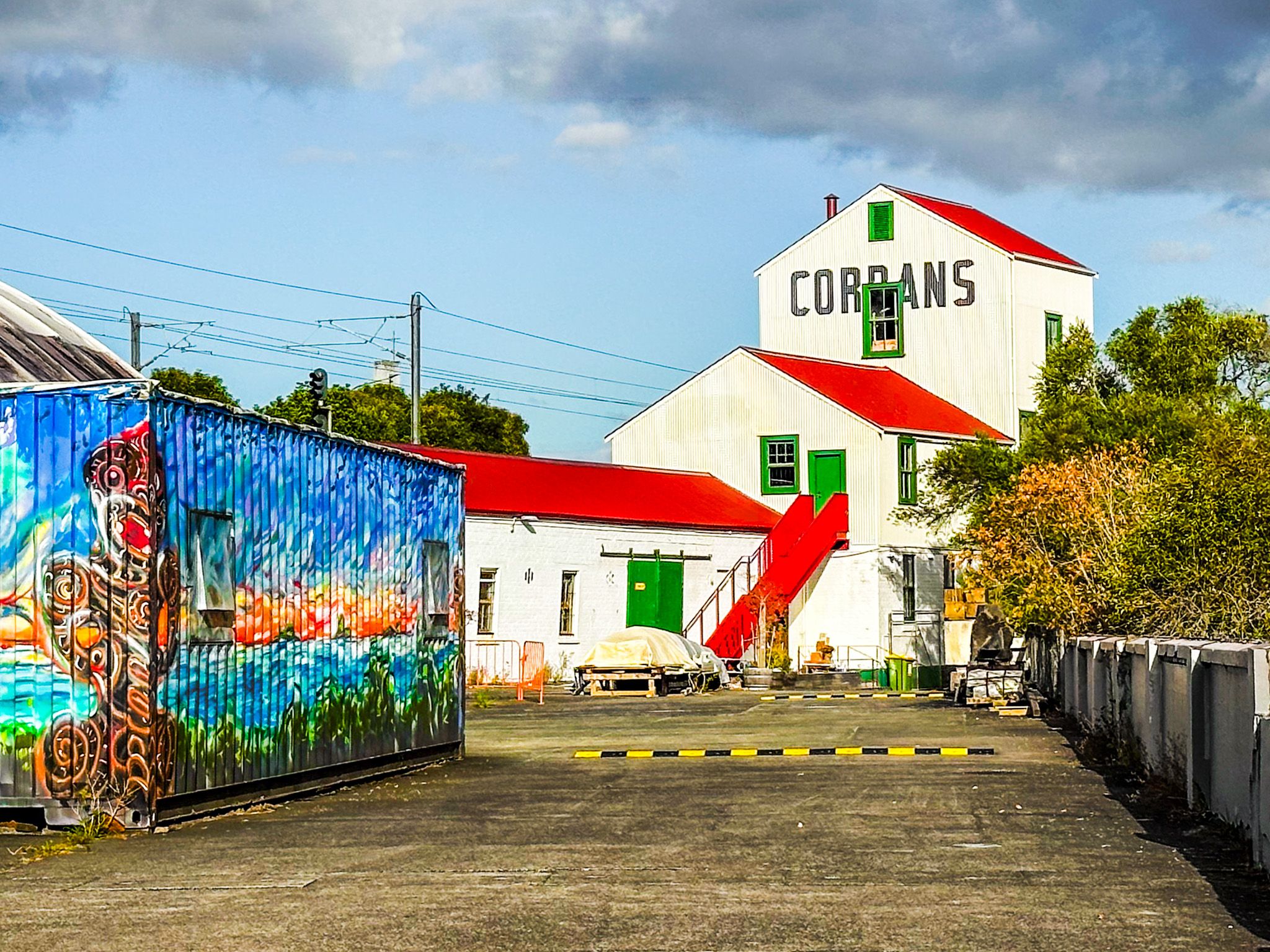
The most convenient northern starting point is Corban Estate Art Centre on Great North Road, Henderson, where parking is available, and the path begins just beyond the estate grounds. Henderson Railway Station on the Western Line is within easy walking distance of the northern end. For a southern start, park near Henderson Valley Road where it meets the end of the walkway. The path is also accessible at the point where Border Road becomes Palomino Drive and Keeling Road. From Downtown Auckland, it is a 21-minute, 17.5 km drive via the Western Motorway (State Highway 16), exiting at Lincoln Road, then heading south through Henderson on Great North Road.
From Henderson, you can access the Scenic Drive, the Cascades and Te Henga.