Black Sand and Driftwood
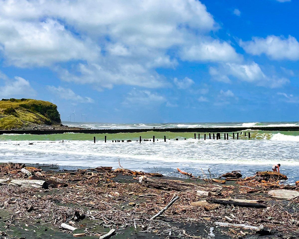
Pātea Beach sits at the mouth of the Pātea River on South Taranaki’s wild west coast. It is about a 50-minute drive from Whanganui and roughly 45 minutes from New Plymouth. The appeal is immediate and physical: black sand underfoot, high cliffs catching the wind, and the battered harbour moles framing wave surges and driftwood tangles that feel properly elemental.
Pātea Beach and Coastal Scenery
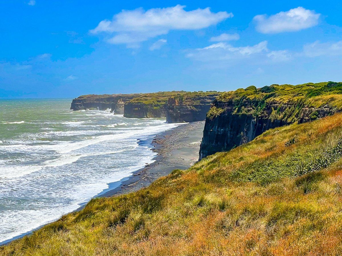
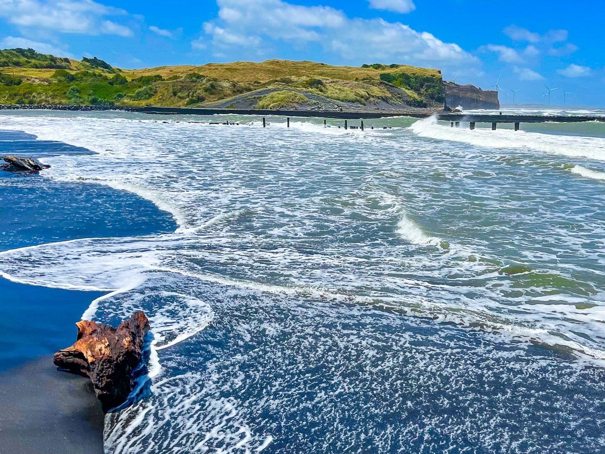
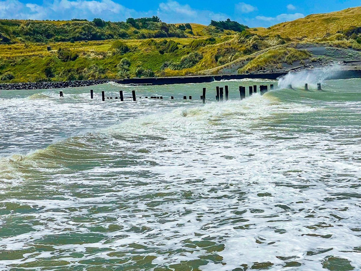
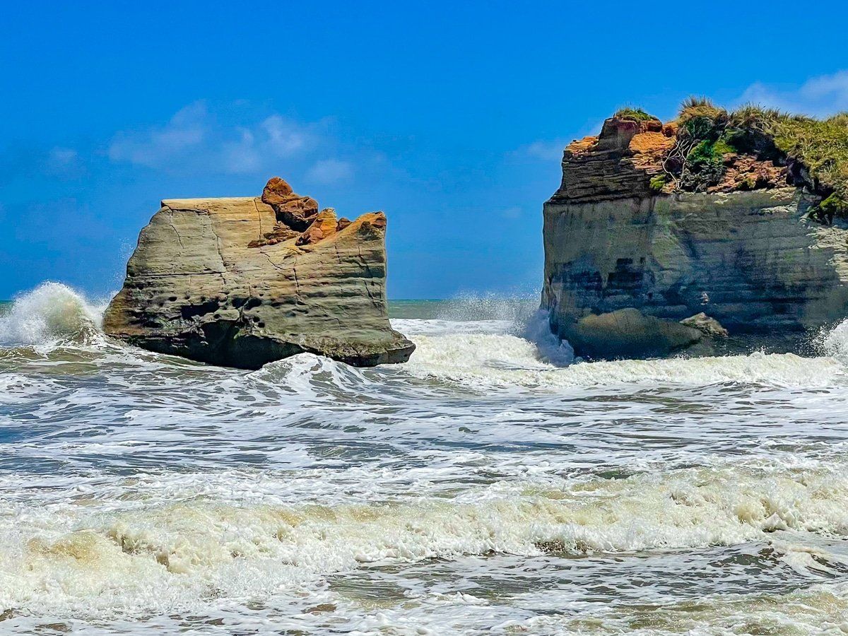
The beach here is broad and dark, with cliffs narrowing the shoreline to the north-west and long views along South Taranaki Bight on a clear day. At the river mouth, the harbour moles shape currents and sand movement; the river also feeds sand to the coast, and the entrance structures intercept longshore drift, so the beach and bar can vary from season to season.
Swimming is unpatrolled and dangerous, with many pieces of driftwood. Conditions can change quickly around the river mouth, especially when the tide turns. If you are here to surf, the south side of the river mouth works best at high tide. For some, the real theatre is the water hitting the mole faces and the driftwood heaps that collect along the high tide line after weather systems roll through.
Walks on the moles and clifftops
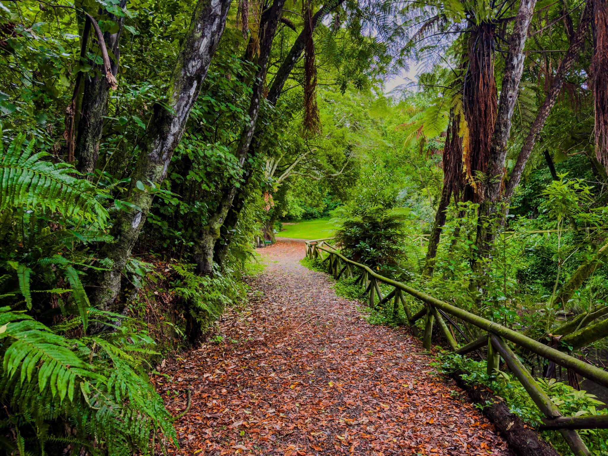
You can wander the firm sand at low tide, explore the base of the cliffs, and follow the harbour structures for a closer look at the river entrance. The moles themselves are rough, uneven and fully exposed to swell and wind; treat them as a look-but-do-not-linger feature if the sea is up, and keep well back from wave-washed sections.
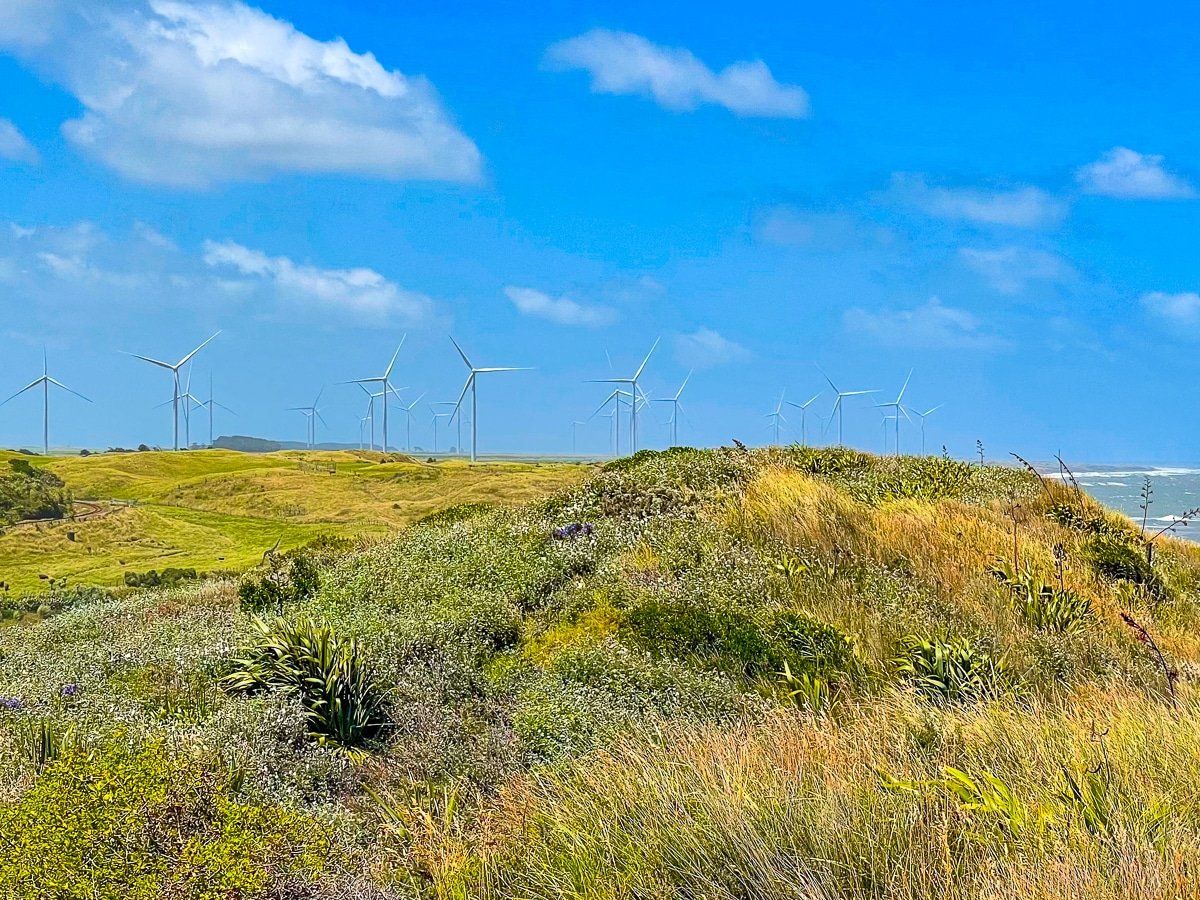
For a higher viewpoint, there is also clifftop parking to the north-west with a track down to that section of beach. From up there, you get a clean read on the coastline and the scale of the harbour works, with the cliffs and beach curving away beneath you.
From Pātea-nui-a-Turi to the “Moles”
Pātea’s name is tied to the Aotea waka and its captain, Turi. The place was named Pāteanui-a-Turi, linked to the setting down of burdens or packs when the waka arrived at the river mouth, with “pātea” referring to a burden. The town later took its name from the river.
The harbour structures that now feel like coastal ruins began as serious infrastructure. The Pātea Harbour Board was formed in 1877, and British engineer Sir John Coode recommended breakwaters and training walls to concentrate river scour and help create a safer shipping channel. The eastern breakwater was completed in 1880, while the western breakwater followed much later. The project was adapted to wave power by increasing block weight.
Standing on the beach now, it is hard to imagine the scale of coastal shipping that once threaded this shallow river. At its peak, Pātea’s port handled large volumes of produce, with wharves on both sides of the river and ongoing efforts to maintain the entrance.
The SS Waitangi wreck and the ruined factory by Portland Quay
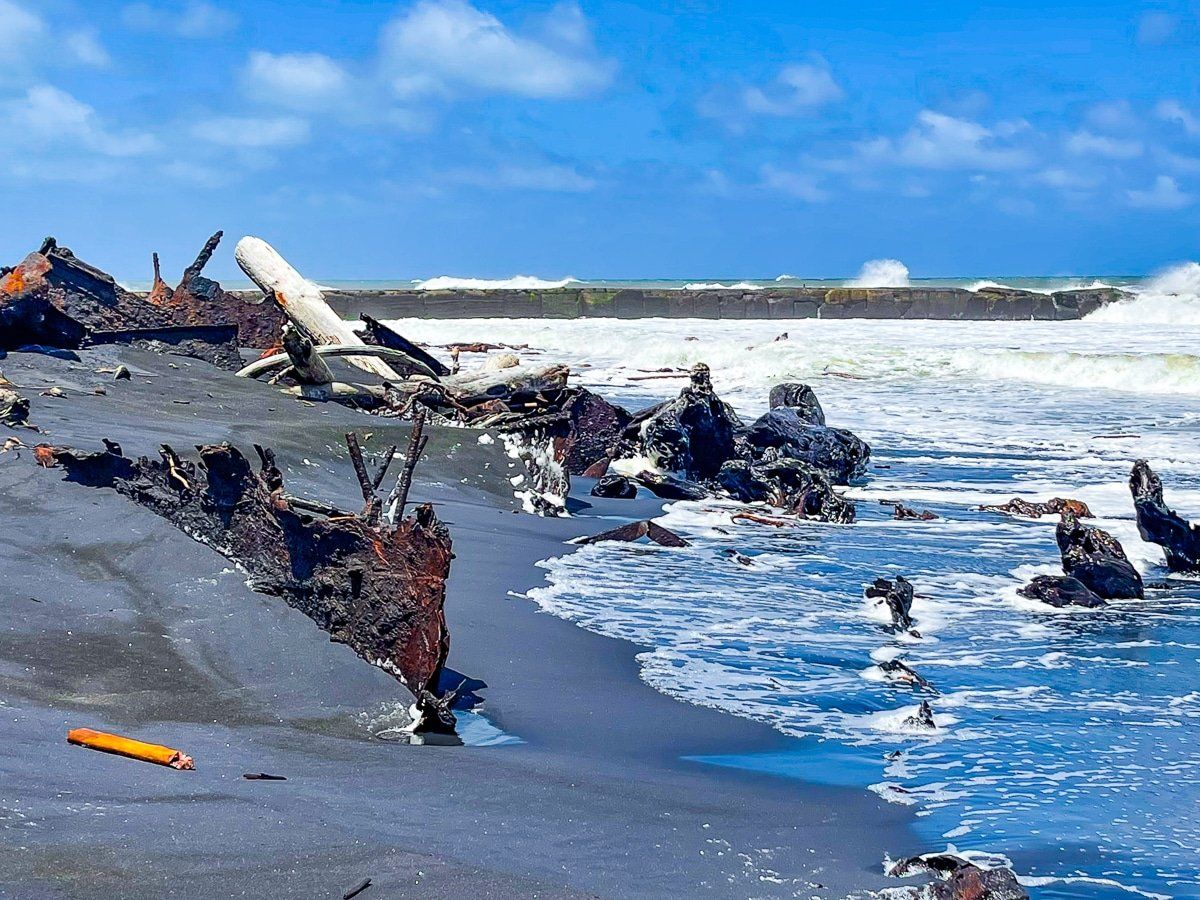
Just north of the harbour entrance, the rusting ribs of the SS Waitangi can be seen near the high tide line when the sand is not covering them. On 5 May 1923, the vessel attempted to enter the Pātea River mouth with a cargo of 46 tons of chaff, struck the end of the western breakwater, and went aground on the western beach. Everyone got off safely, and salvage was attempted, but the ship ended up back on the sand, where parts were stripped over the years.
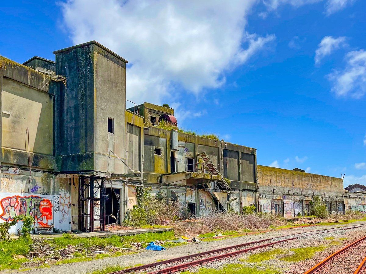
For a different, industrial wreck, head for Portland Quay on the south side of the river and follow the road past the gravel piles toward the old freezing works site. Meat processing in Pātea began in the 1880s, and the freezing works became the town’s major employer until its closure in 1982, when around 800 staff were laid off. Twenty-six years later, a major fire destroyed large parts of the timber buildings, accelerating the site’s decline and leaving the kind of ruin you rarely see in New Zealand.
How to get there
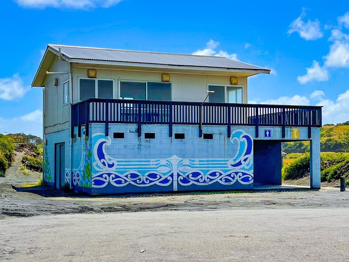
From Whanganui, drive north on State Highway 3 for about 50 minutes to Pātea. From New Plymouth, it is roughly 45 minutes south on State Highway 3. For the beach, turn off State Highway 3 onto Kent Street, then follow Egmont Street to the beach at the river mouth, where you will find parking and public facilities.
For the freezing works area, take Portland Quay from State Highway 3 just before the Pātea River bridge on the south side, then turn right over the railway line and continue past the gravel yards.
Other wild coastal locations on this coast include Waverley Beach, Waiinu Beach, Ototoka Beach and Kai Iwi Beach.