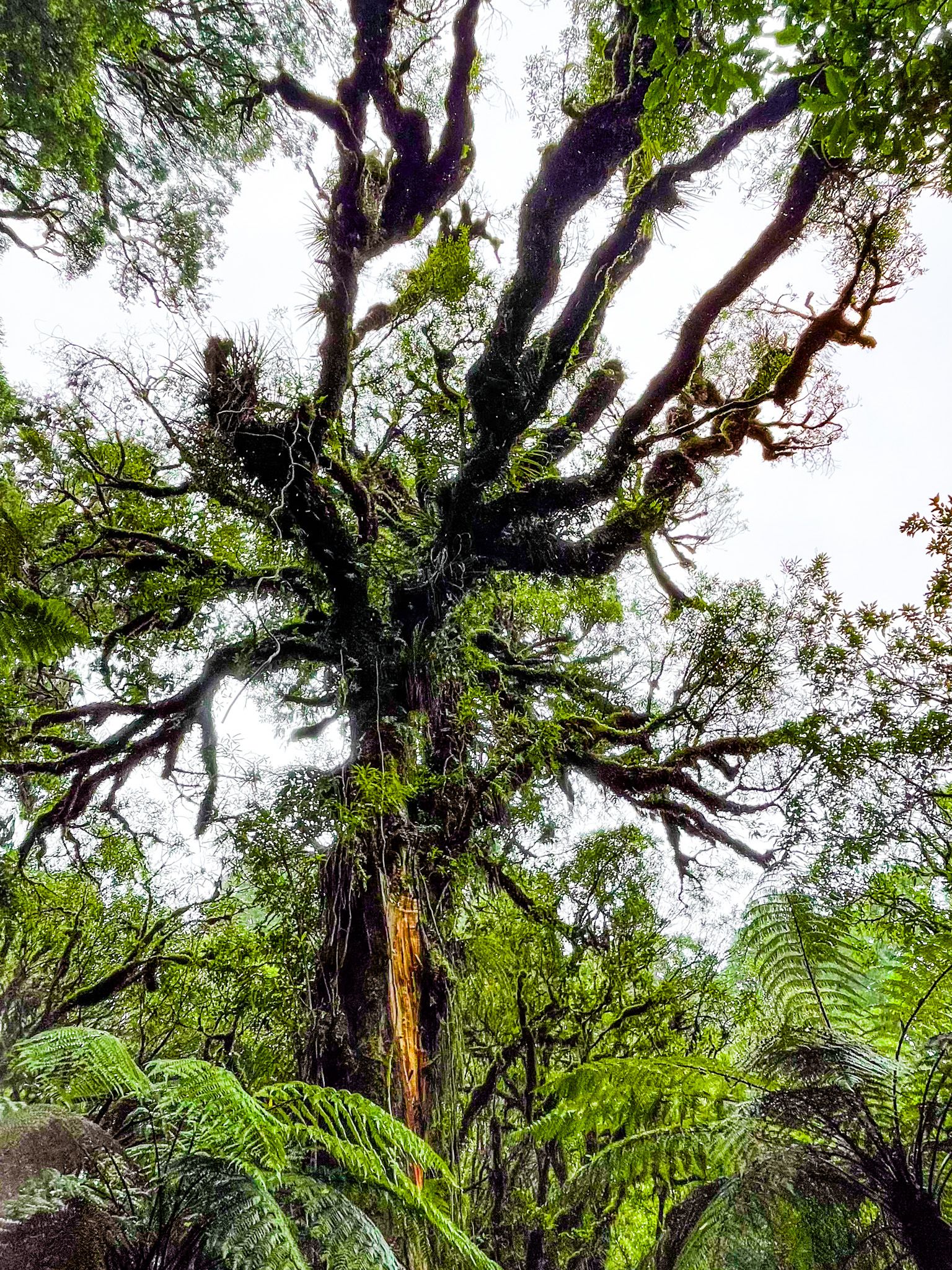
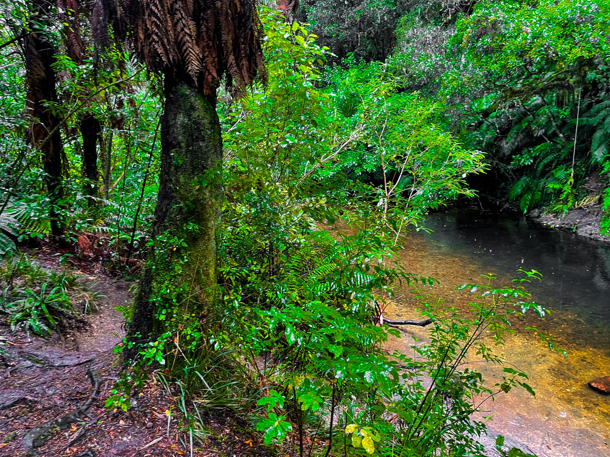
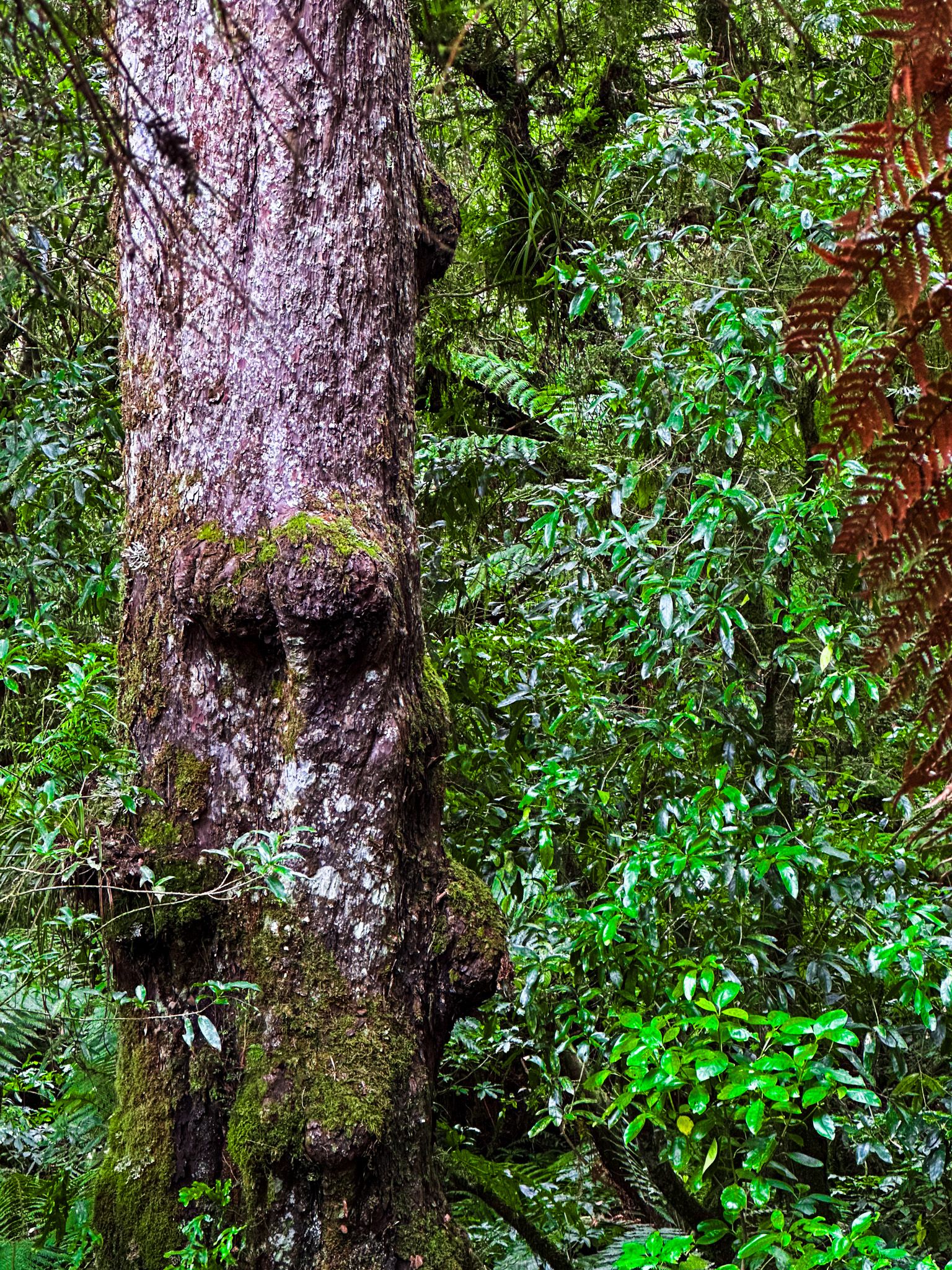
Ancient Forest between Taupō and Te Kūiti
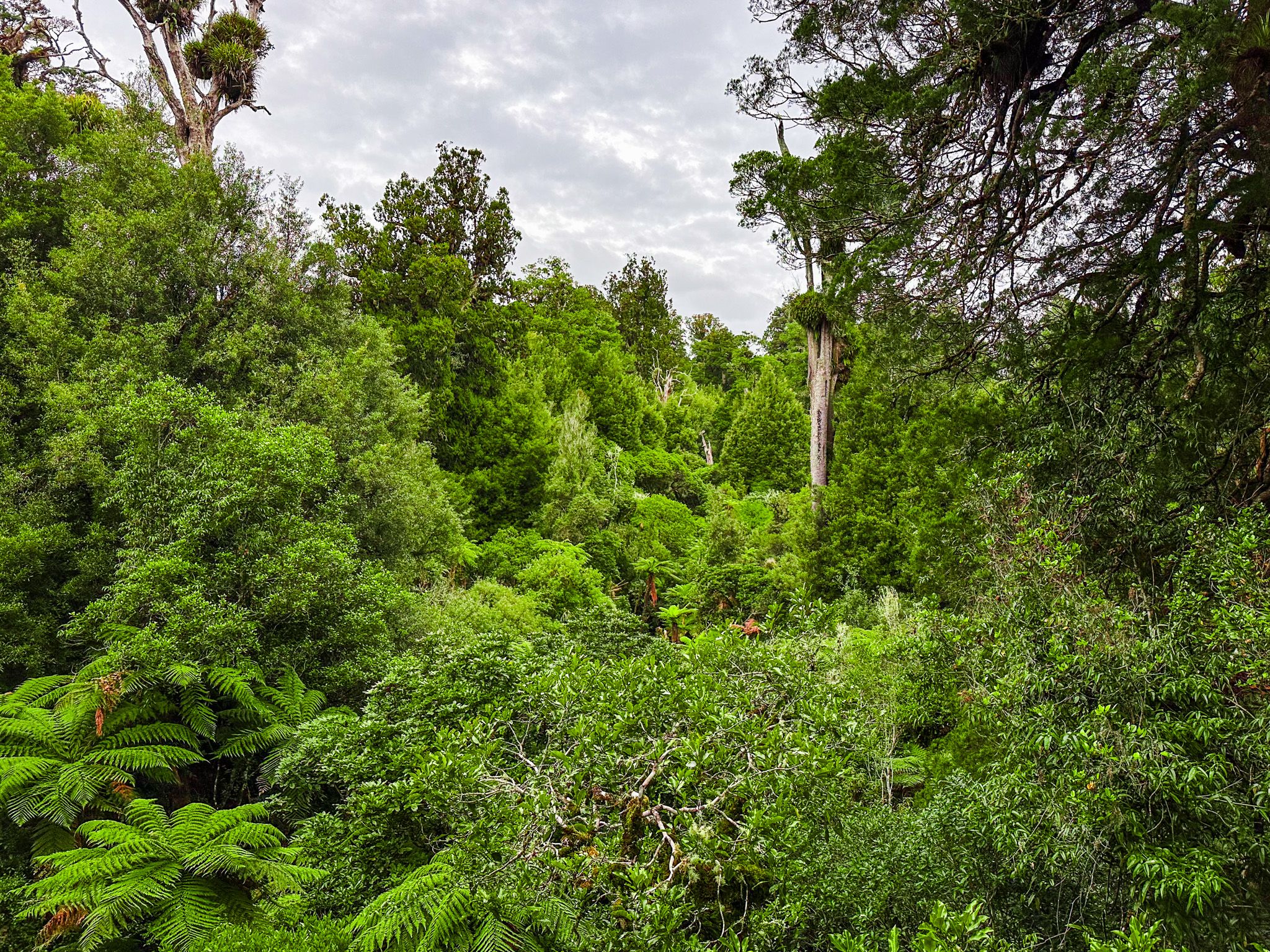
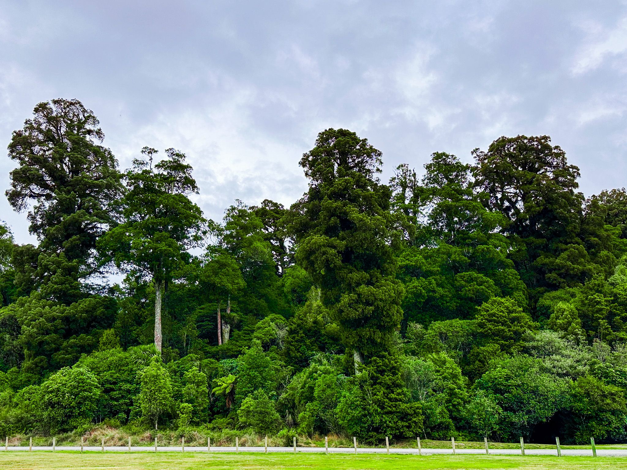
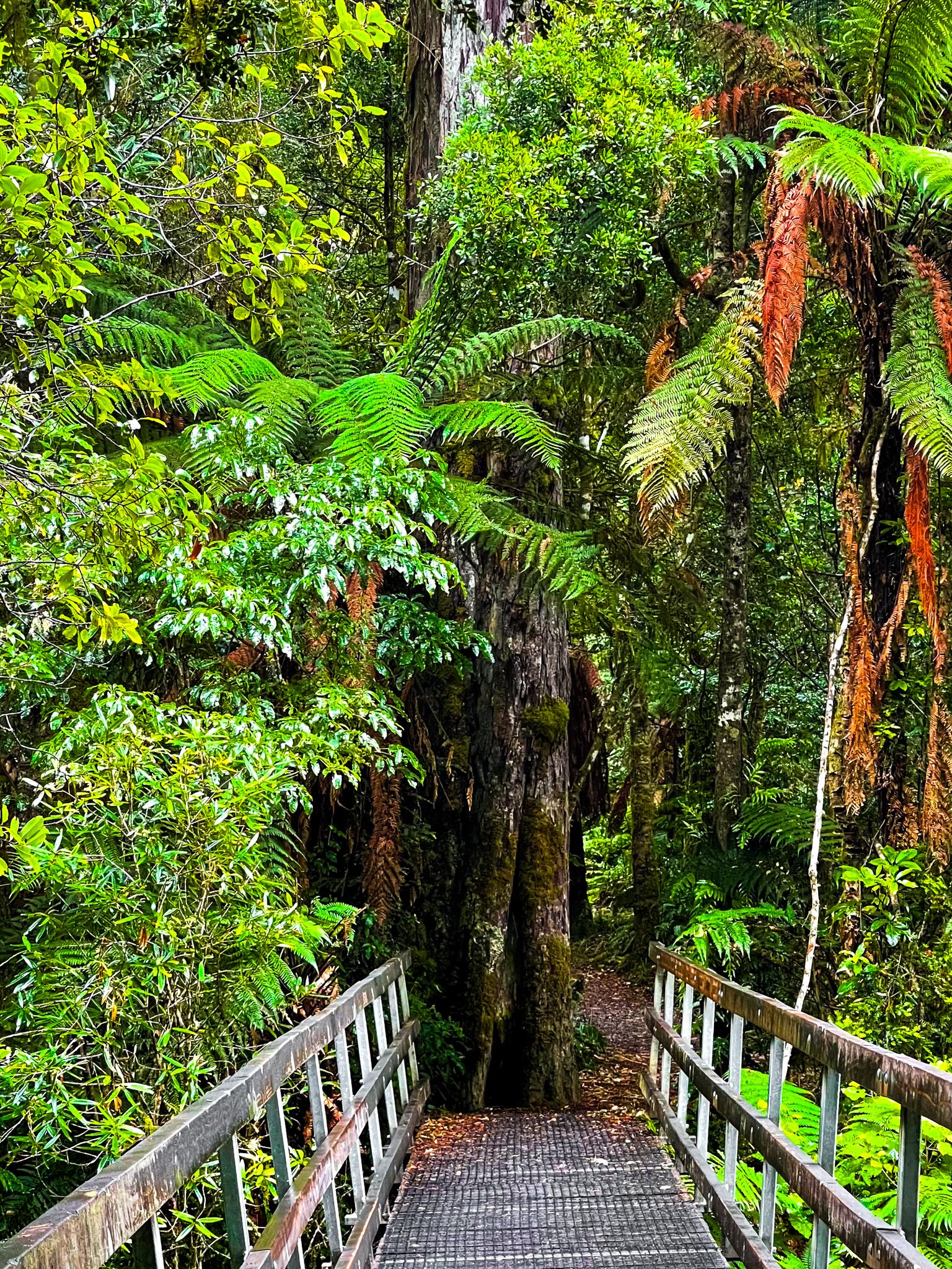
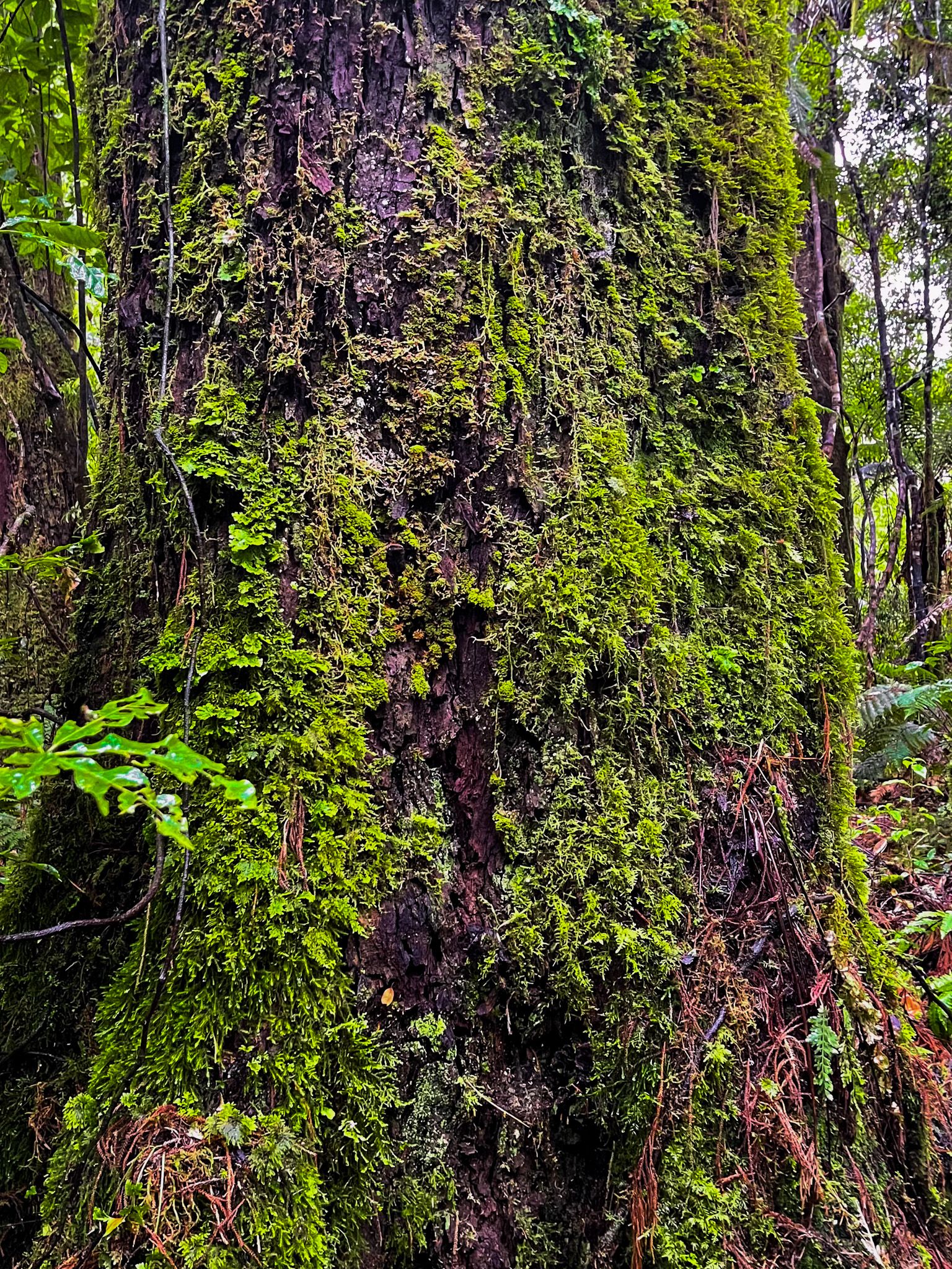
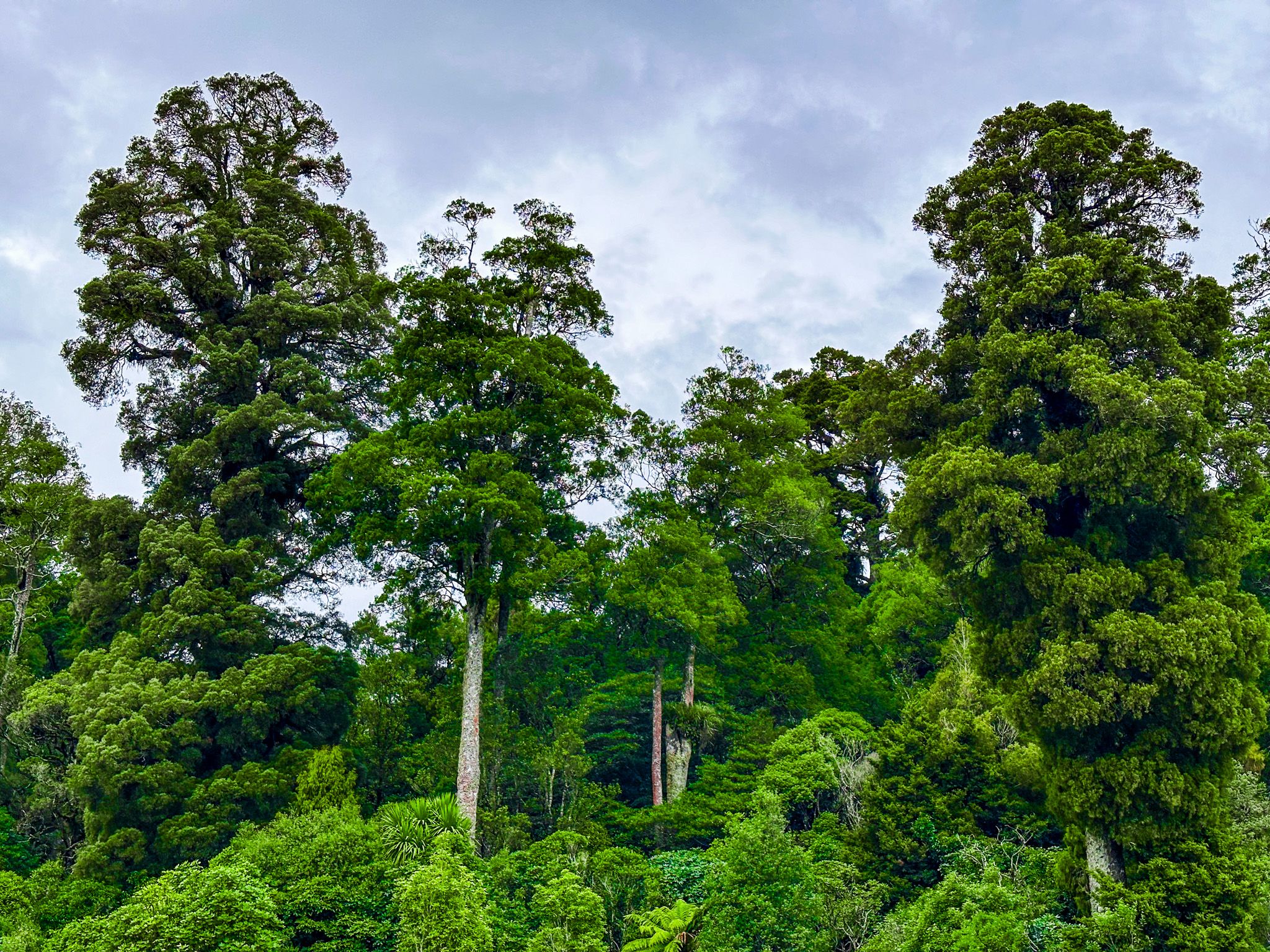
Straddling the Hauhungaroa and Rangitoto Ranges between Lake Taupō and Te Kūiti, Pureora Forest Park protects one of the largest intact tracts of native forest remaining in the North Island. The 78,000-hectare park is a podocarp rainforest of giant tōtara, rimu, mātai, miro, and kahikatea, some of them close to 1,000 years old, growing across two volcanic ranges that rise to over 1,100 metres. It is one of the finest examples of this forest type left in the country, and it came very close to disappearing entirely.
A forest shaped by eruption and axe
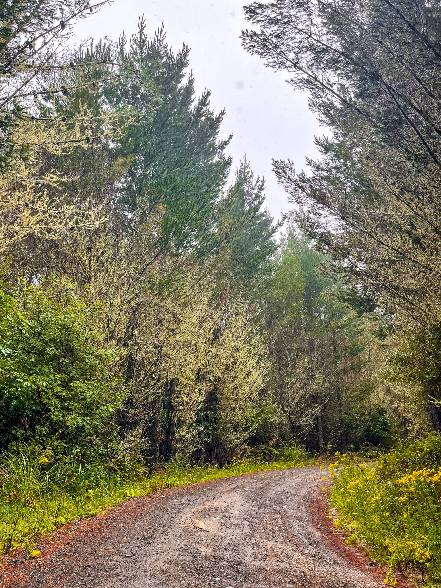
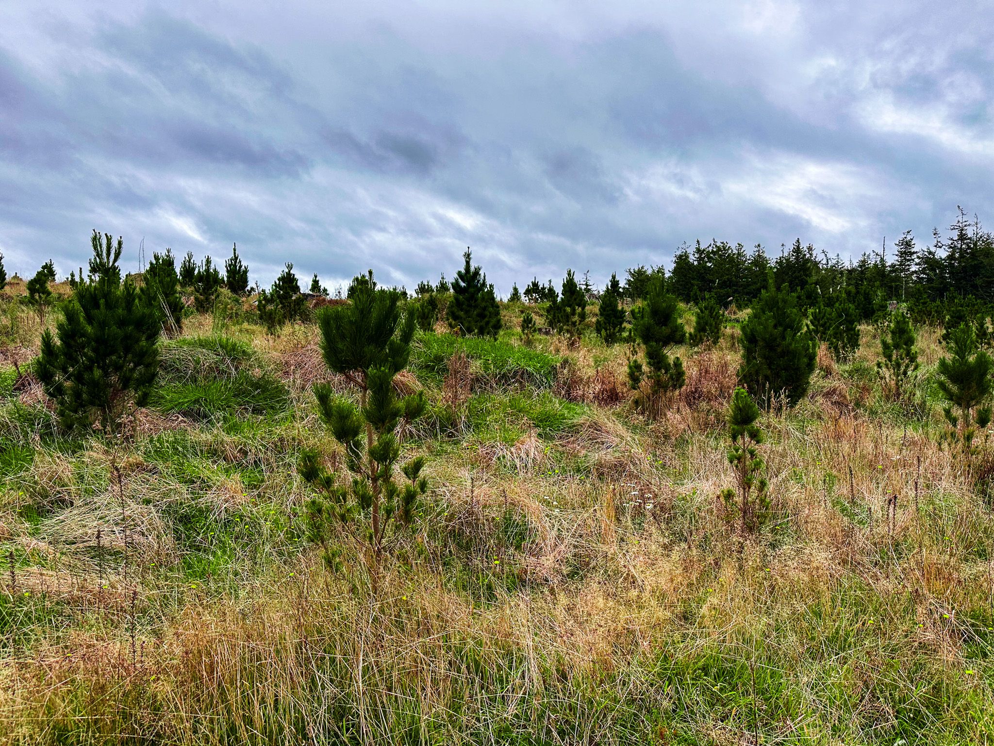
The present forest is relatively young by New Zealand standards. The Taupō eruption around 1,800 years ago obliterated the predecessor forest, and what stands today has since grown back. By the 1800s, the North Island was covered in ancient native forest, but European settlers cleared it at an extraordinary speed. Within three generations, most of it was gone. Plantations of fast-growing exotic pine began to replace native stands from the 1930s onwards, yet harvesting of native forest continued in what was then a much larger Pureora State Forest. In 1946, the remnant native forest here was formally opened to logging, making it one of the last in the country to be sanctioned for harvest.
Cutting continued through parts of the forest into the 1970s, with cleared areas converted to farms or pine. As the conservation movement gained momentum nationally, protests at Pureora intensified. In January 1978, activists built platforms in tall tōtara trees at Pikiariki and lived in them to block logging operations, in what became one of New Zealand's most significant conservation actions.
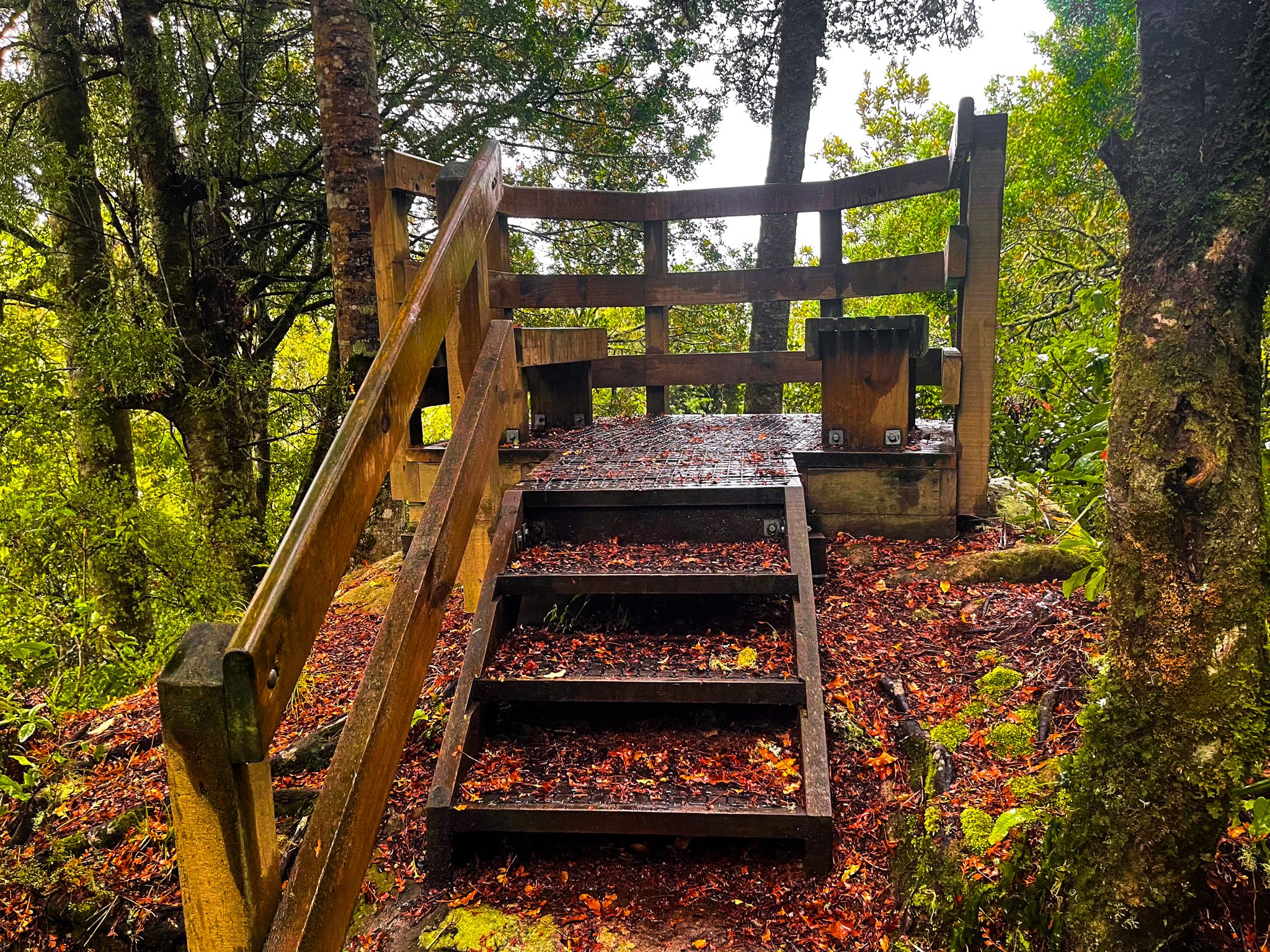
The location is commemorated on the Forest Tower Track. The surviving native forest was renamed Pureora Forest Park, a moratorium on harvesting was imposed, and logging was abolished entirely in 1982. DOC took responsibility for the park in 1987. The shift had a lasting human cost: the nearby forestry settlements of Pureora and Barryville were decimated, and Pureora township is now Pureora Field Base.
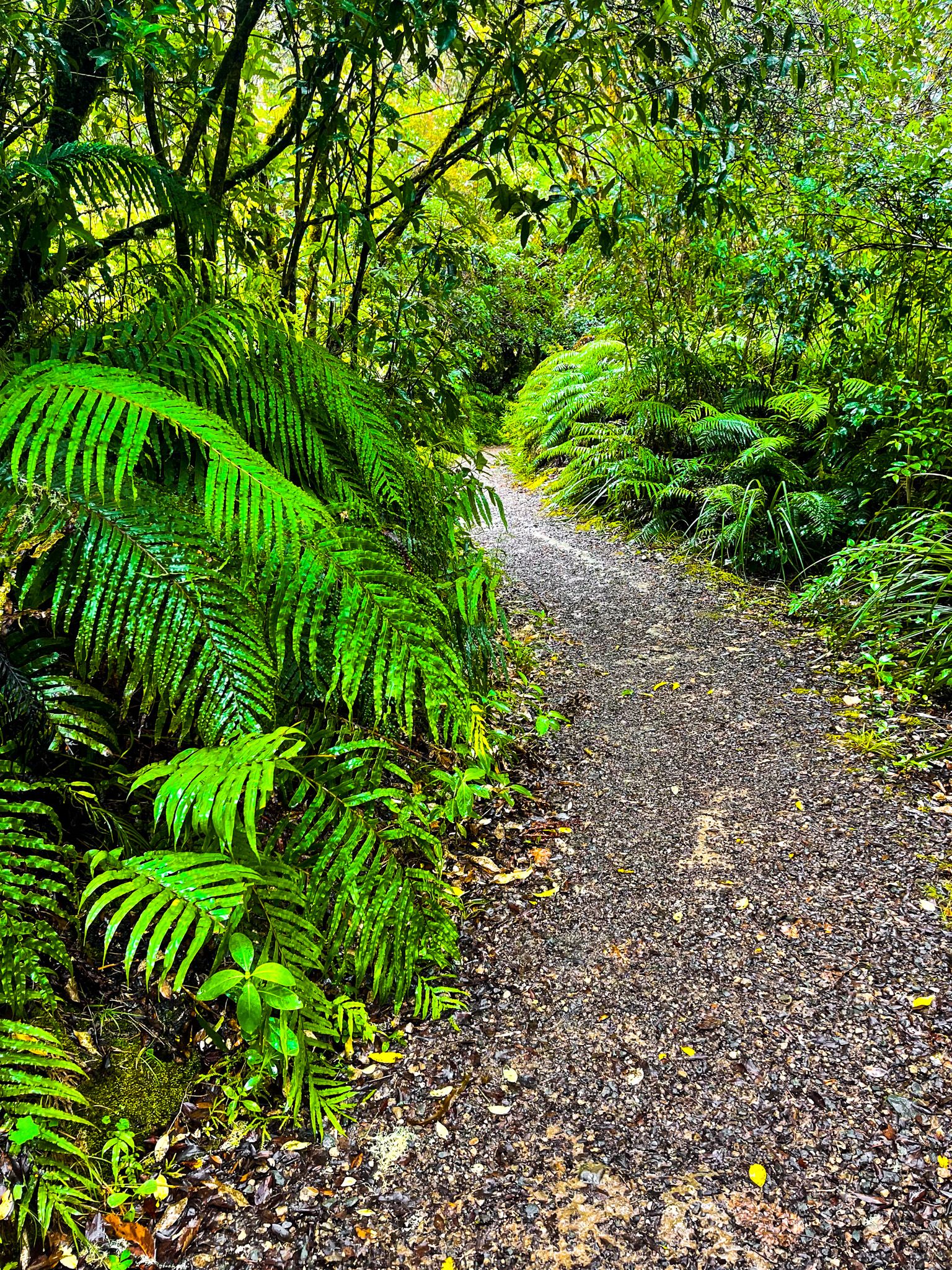
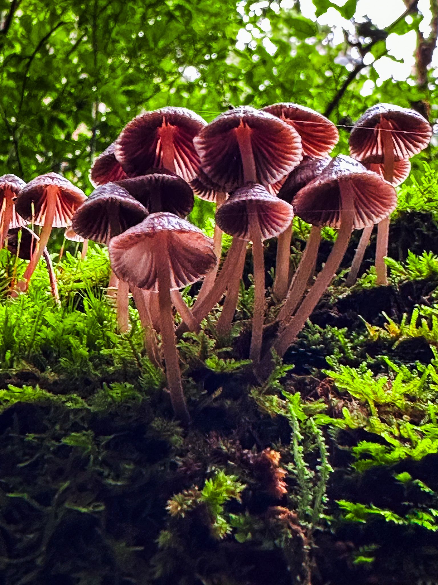
The forest today
The park is not a single continuous block of ancient forest. Much of the area is mature native bush, but some sections remain in pine or are recovering following pine harvesting. The park is divided into two parts: a larger southern section centred on Pureora Field Base, and a smaller northern block separated by State Highway 30 and by surrounding farmland near Barryville. The two main highways that bound the park, State Highway 30 to the north and State Highway 32 to the southeast, are connected by State Highways 4 and 41 on the western and southern edges.
Kākā, kererū, tūī, and other native birds are regularly seen and heard throughout the forest, and the birdlife alone is reason enough to visit. Kōkako, one of the most threatened forest birds in New Zealand, has been recorded in the park, and DOC pest management has made a measurable difference to native species across the area.
Tracks and activities
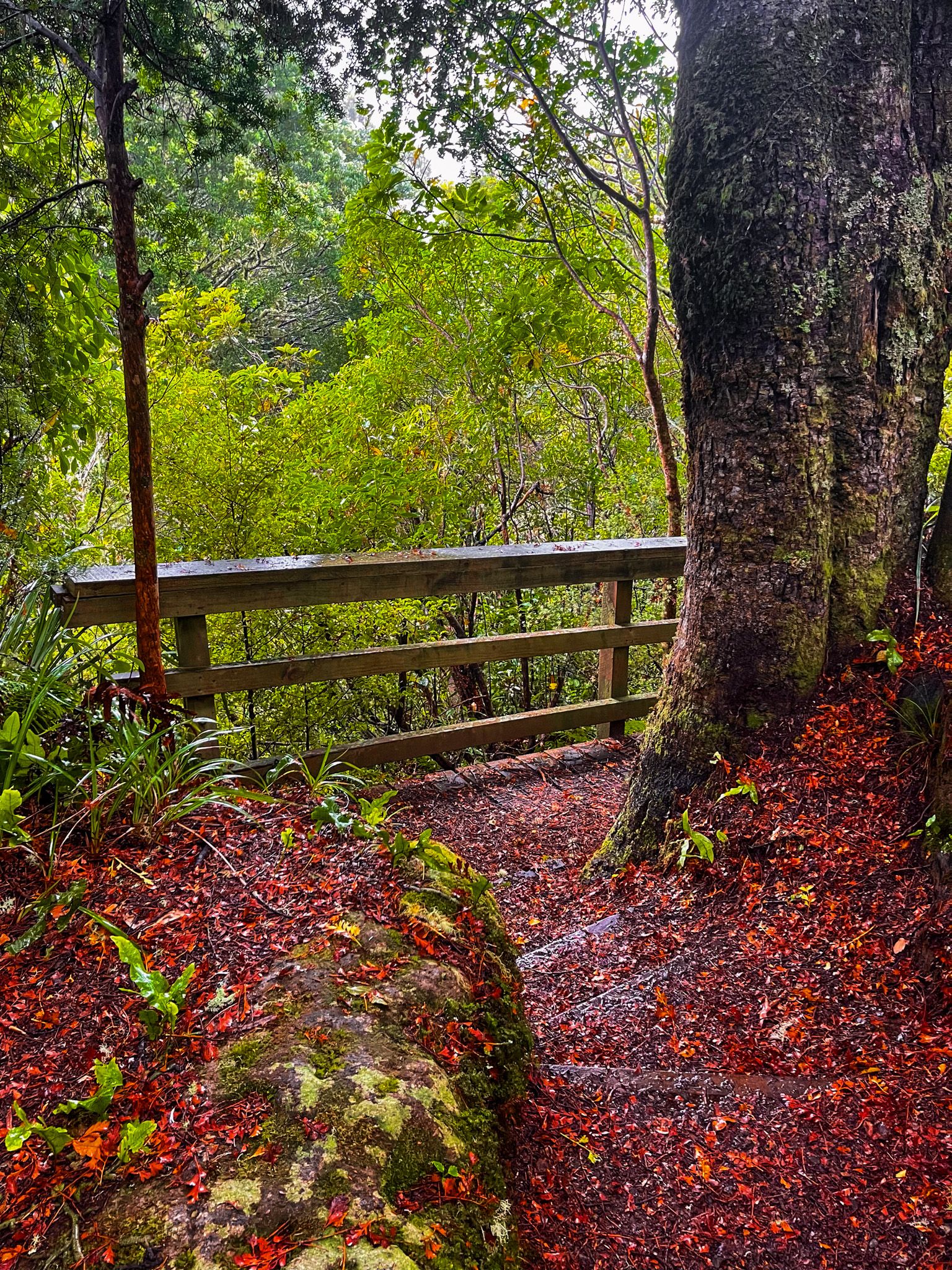
The main concentration of tracks and facilities is near Pureora Field Base, south of State Highway 30. From here, you can walk the short but impressive Totara Walk through cathedral podocarp forest, or take the Forest Tower Track to a viewing platform above the canopy. The Ngaherenga campsites are also nearby.
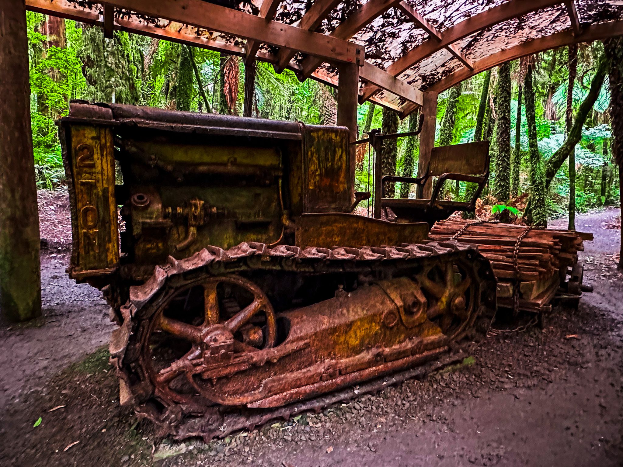
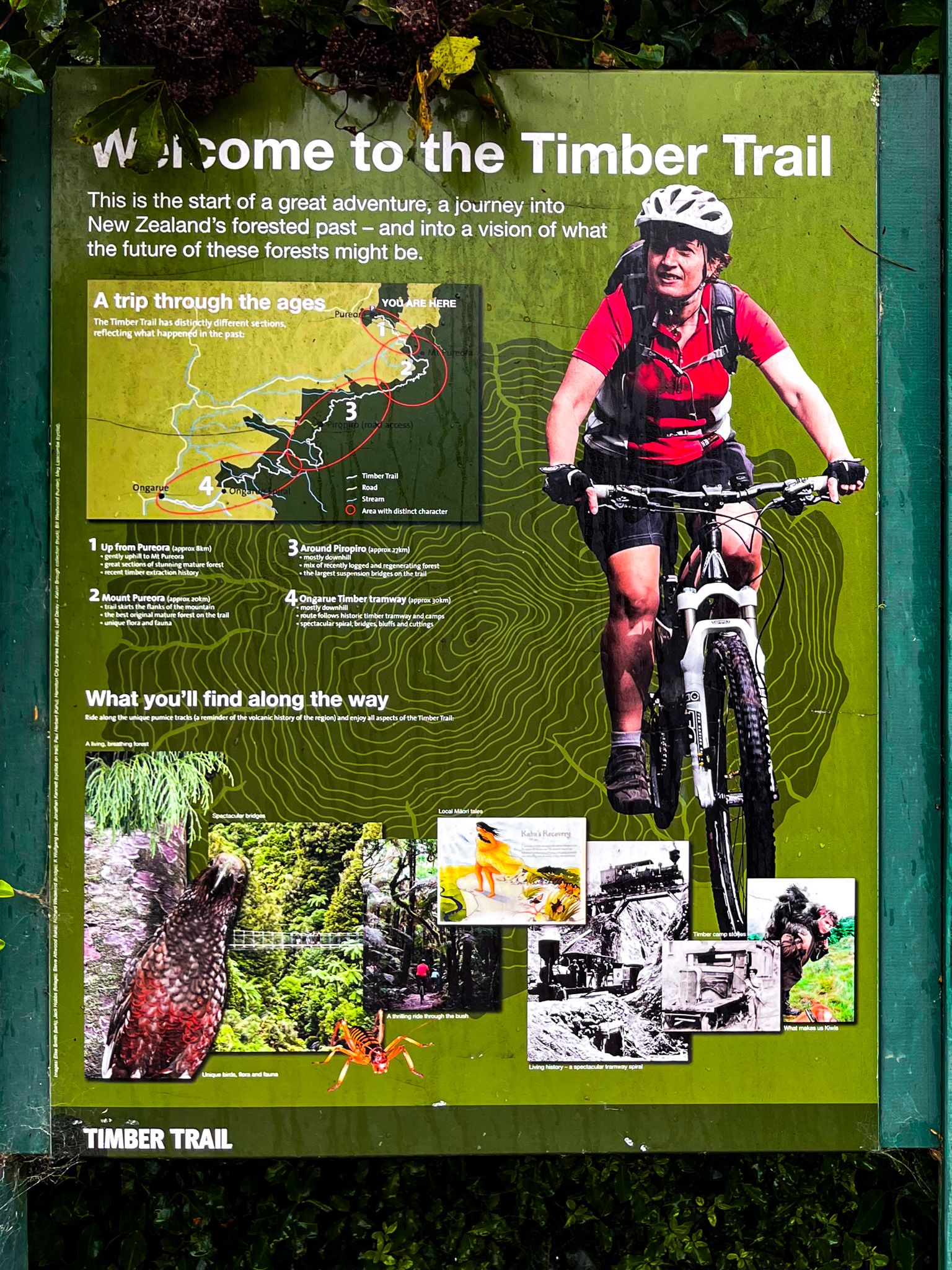
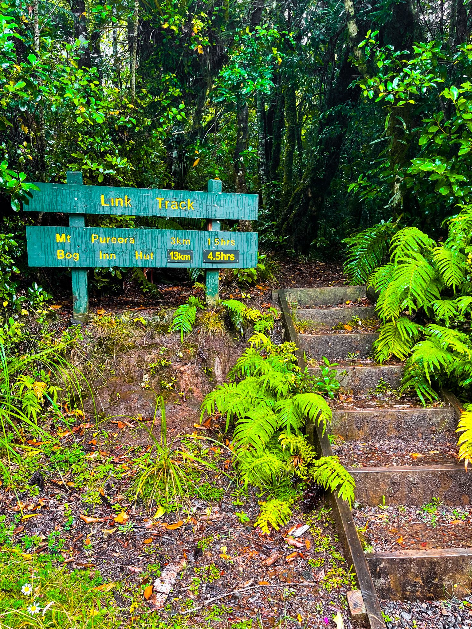
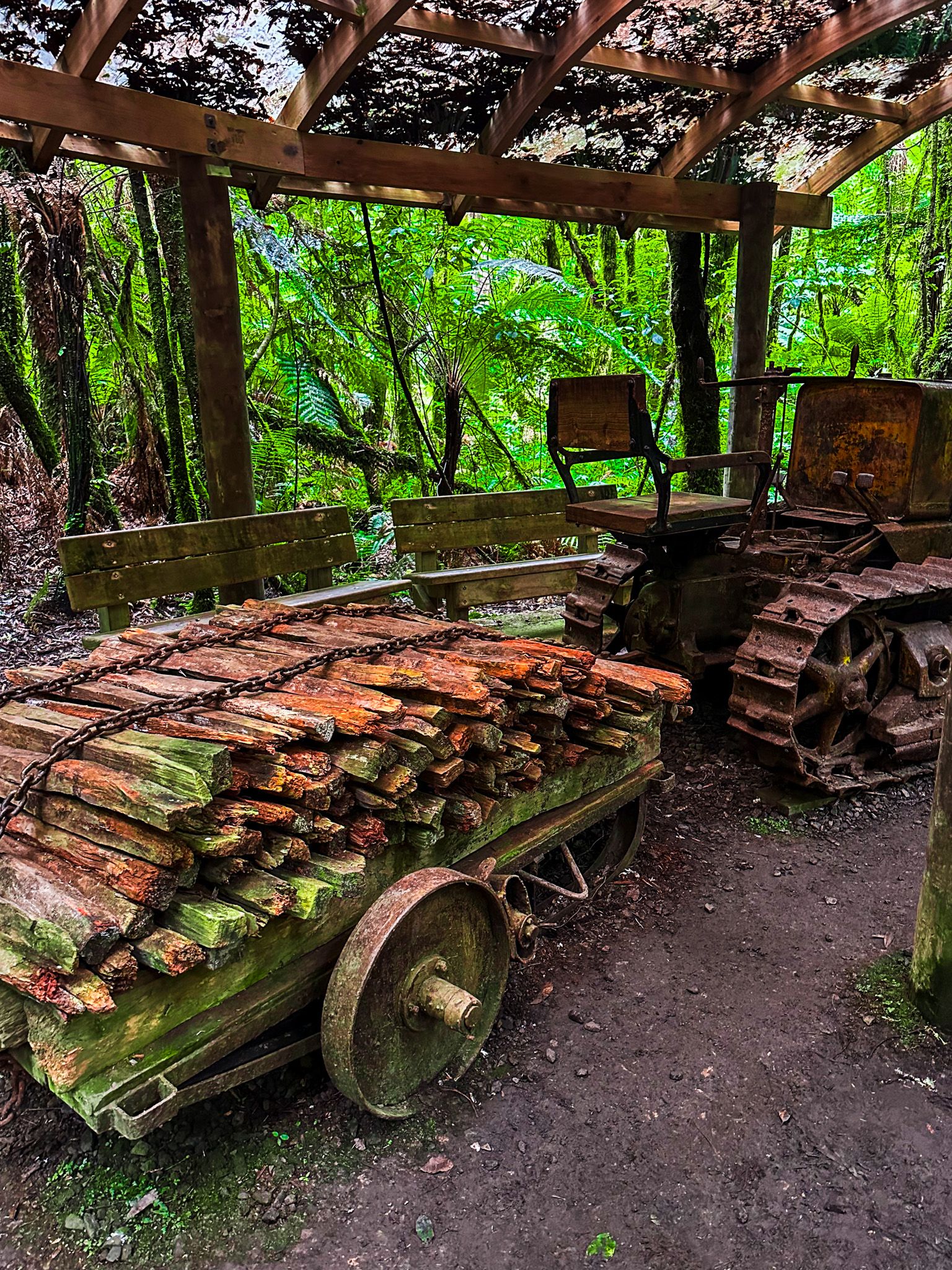
Pureora is the starting point for the two-day Timber Trail, one of New Zealand's Great Rides, a cycling journey through the forest that uses historic tramway alignments and bridges. The trail connects to the Historic Crawler Tractor Track, a short link route that passes relics of the logging era. The tough three-day, 45-kilometre Hauhungaroa Track also connects with the Timber Trail and traverses the Hauhungaroa Range at over 900 metres, with several small DOC huts along the way.
Link Road, a rough forestry road running northwest to northeast through the heart of the park, provides access to the two high points of Mount Pureora (1,165 metres) and Titiraupenga (1,042 metres), as well as to the Kakaho Campsite and the Rimu Walk.
From State Highway 32 on the southeastern edge, a rough access road leads to Waihora Lagoon, where the Waihora Track heads north to connect with the Hauhungaroa Track. A short distance further southwest along the highway, the Waihaha Track offers another entry point to the Hauhungaroa. On the western side of the park, Kokomiko Road reaches Piropiro Flats, which has four camping shelters and access to the Timber Trail and several other tracks.
The northern section of the park is accessible via Waitaramoa Road off State Highway 32, leading to the Waipapa Loop and other walking and cycling tracks through that block of forest.
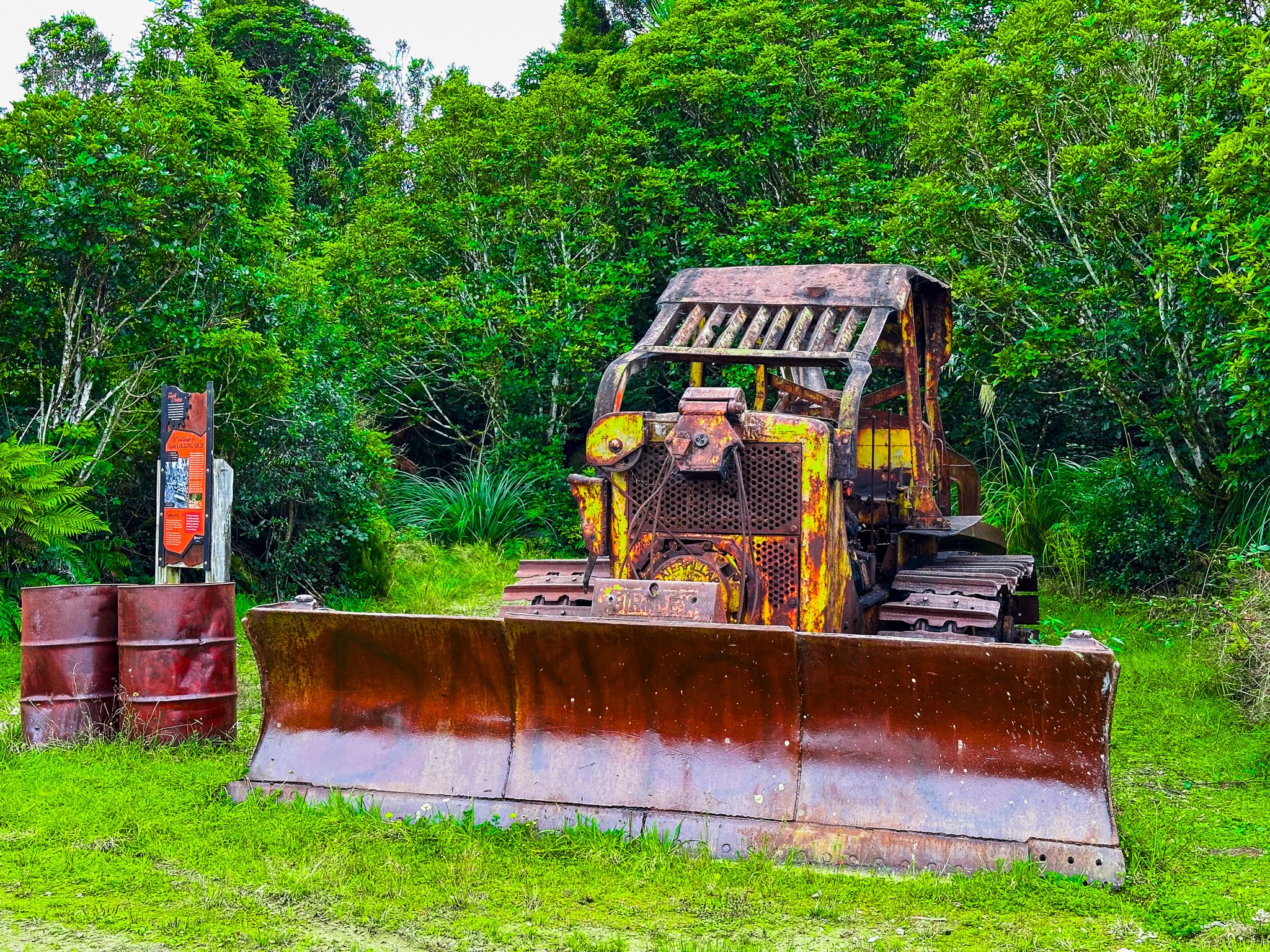
Industrial heritage preserved in the forest
One of the distinctive aspects of DOC's management at Pureora is its preservation of forestry industry heritage. The milling village established here in 1947 still has visible remains, and several pieces of vintage equipment have been retained and are easy to find around the field base. The Ongarue Tramway, at the southern end of the Timber Trail, survives intact and unmodified, a rare example of the extensive tramway networks that were once central to the milling operations that defined this forest.


How to get there
Pureora Forest Park is accessible from several directions. The main entrance at Pureora Field Base is reached via State Highway 30 through Barryville or Maraeroa Road. State Highway 32 provides access to the eastern side of the park via Arataki, Kakaho, and Waihora Roads. The southwestern edge is accessible from State Highway 4 via Ongarue and Waimiha. From Taupō, allow around an hour to reach Pureora Field Base via State Highway 32 and State Highway 30. There is no fuel available within the park; the nearest options are Benneydale, 15 minutes west on State Highway 30, and Mangakino, 20 minutes east.