The Port Hills' Largest Native Forest
Kennedy's Bush Scenic Reserve lies on the southern section of the Port Hills, above Halswell and just north of Ōrongomai / Cass Peak (545 metres). At 130 hectares, it is the largest remaining patch of native forest on the Port Hills. It was the first scenic reserve that Harry Ell secured, purchased in 1906 with government support and public fundraising, and the seed from which the entire Summit Road network of tracks and reserves grew.
The Reserve and its Flora
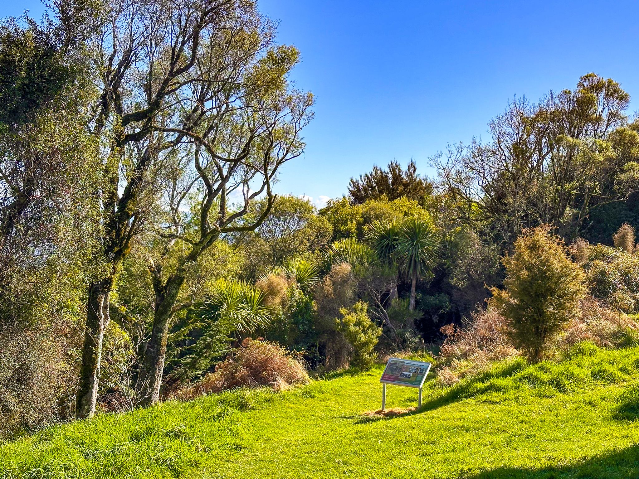
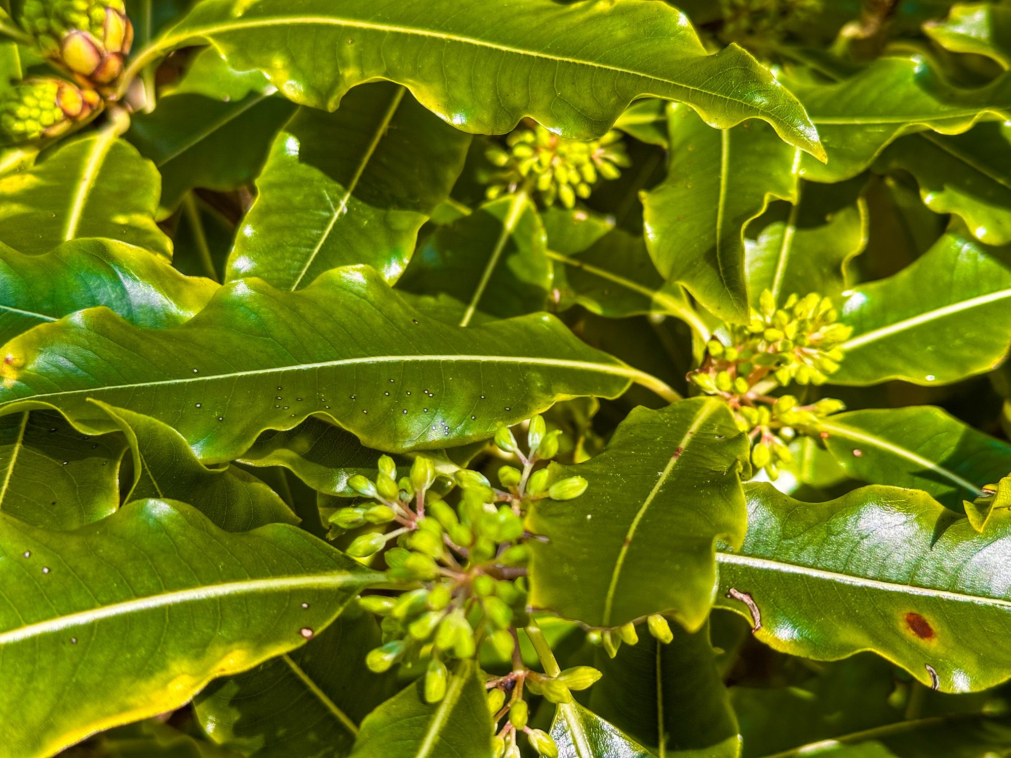
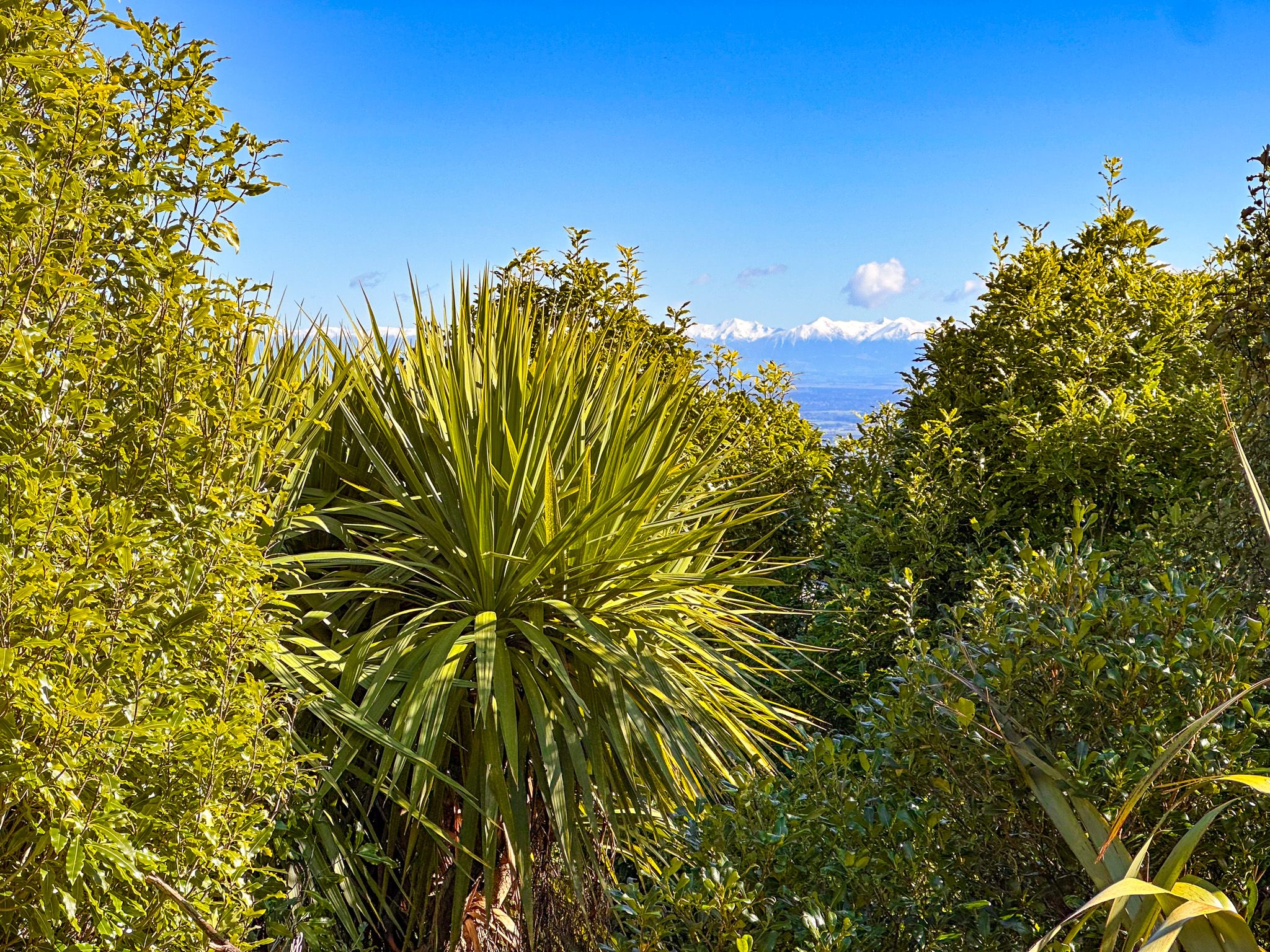
A 1906 survey found 96 species of flora in the reserve. Today, it still holds a wide variety of native plants, including ferns, kānuka, rōhutu, tōtara, and native speargrass. Korimako (bellbird), riroriro (grey warbler), kererū (wood pigeon), and pīwakawaka (fantail) are among the birds present. Pest control has been carried out in the reserve since at least 1920. The forest is dense and enclosed compared to the open tussock and grass slopes elsewhere on the Port Hills.
The Sign of the Bellbird
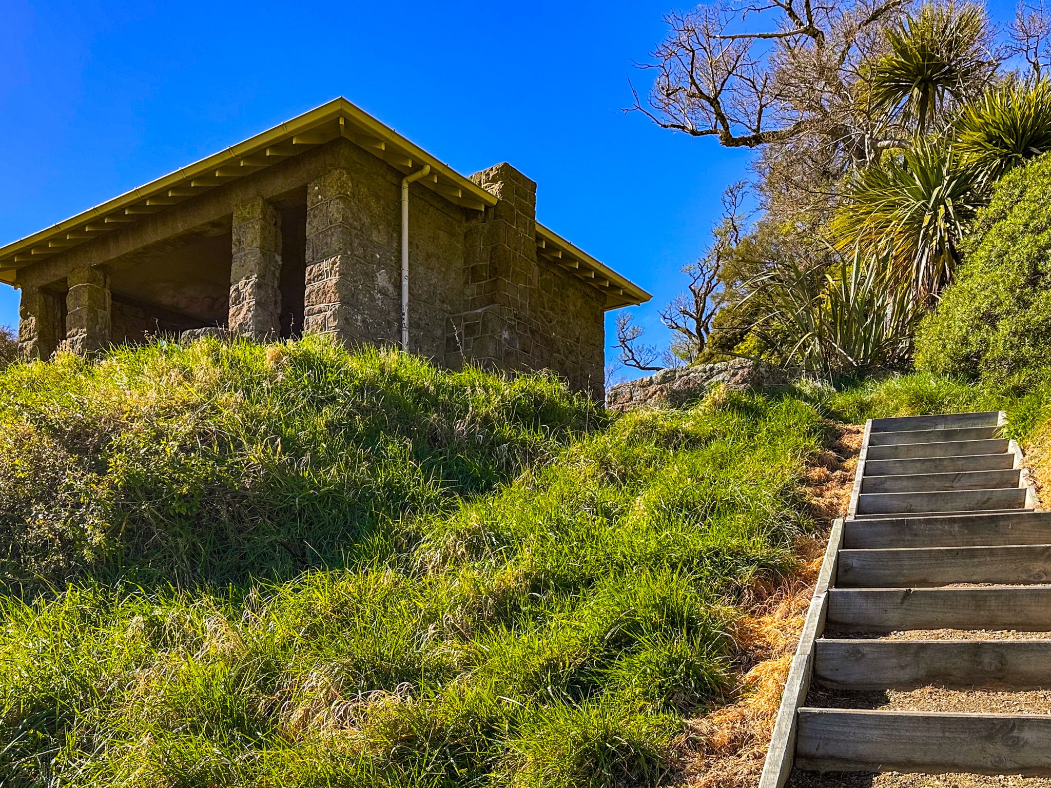
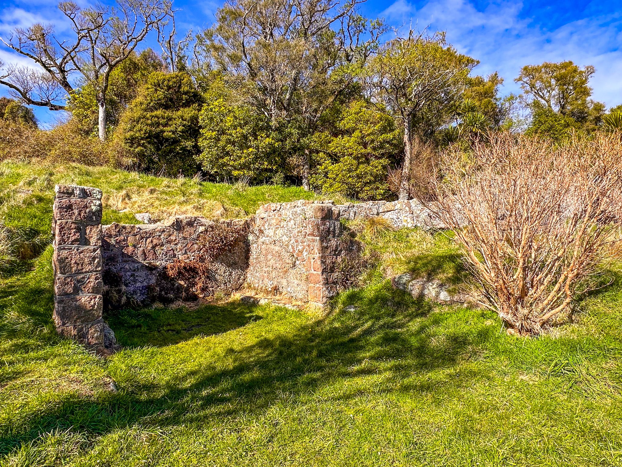
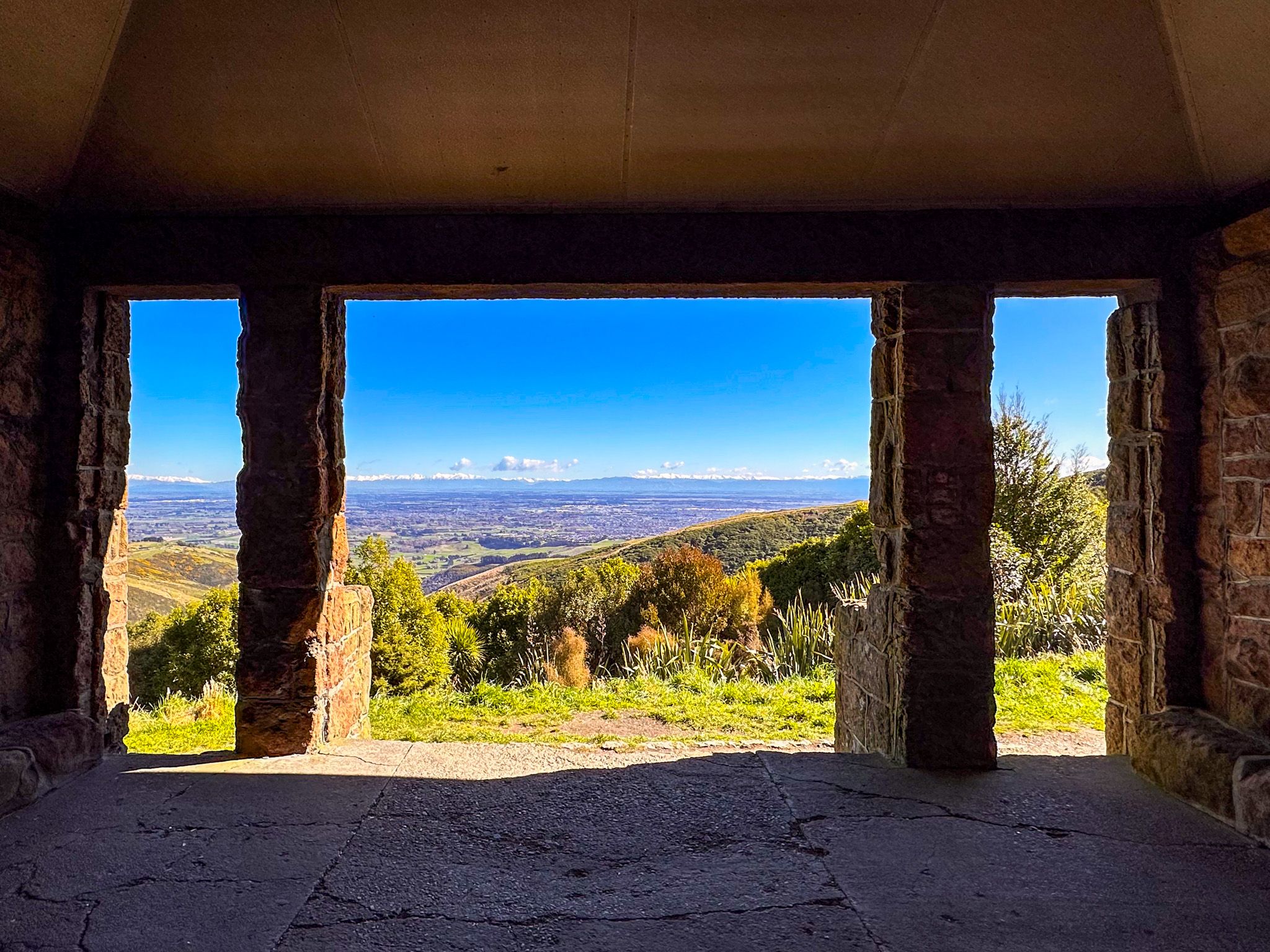
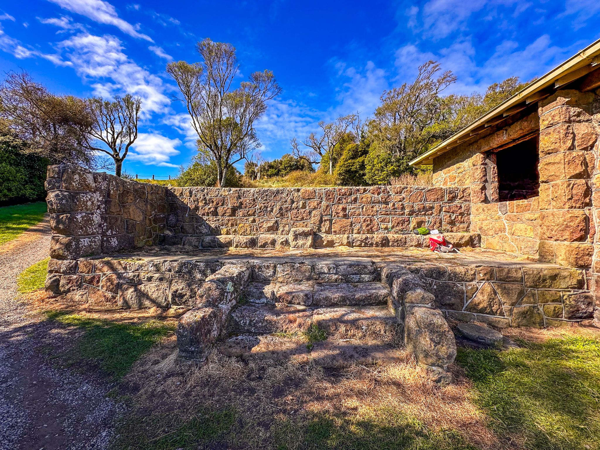
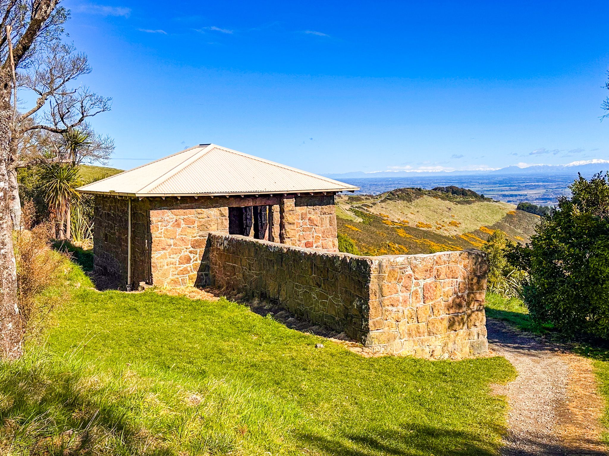
The Sign of the Bellbird was built in 1914 and was the first of Ell's rest-houses. It was initially used as a caretaker's cottage, then as a tea-house for travellers making the journey from Christchurch over the hills toward Akaroa. Ell originally named the site Orongomai, te reo for Cass Peak above; it was renamed the Sign of the Bellbird in 1922. The tea-house operated until around 1940, but the buildings were abandoned in 1942 and fell into disrepair. Some were eventually demolished, and the remaining stone was used to construct an open-air shelter. A fire destroyed the roof in 2015, and it was replaced in 2017.
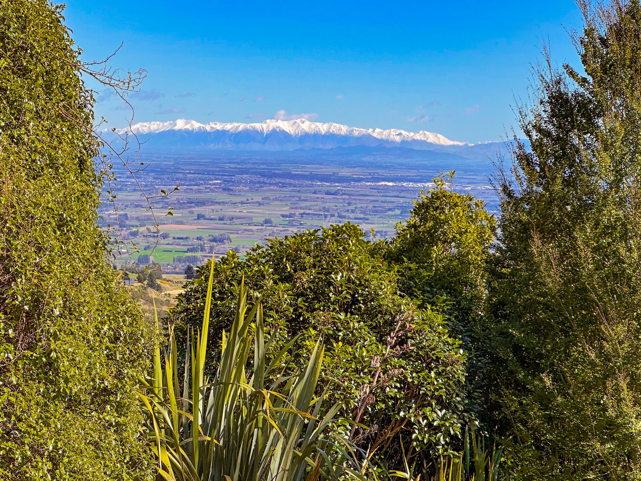
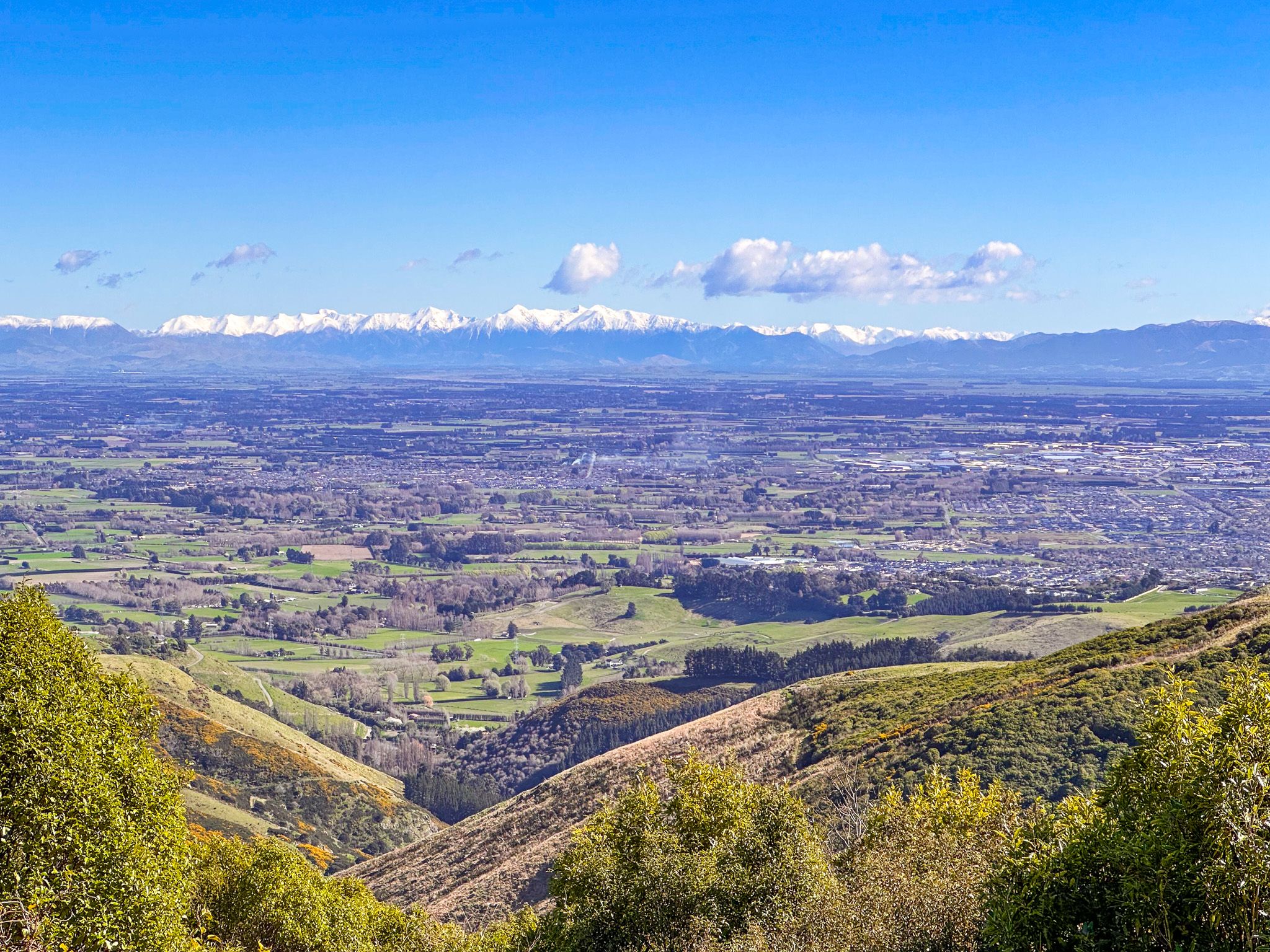
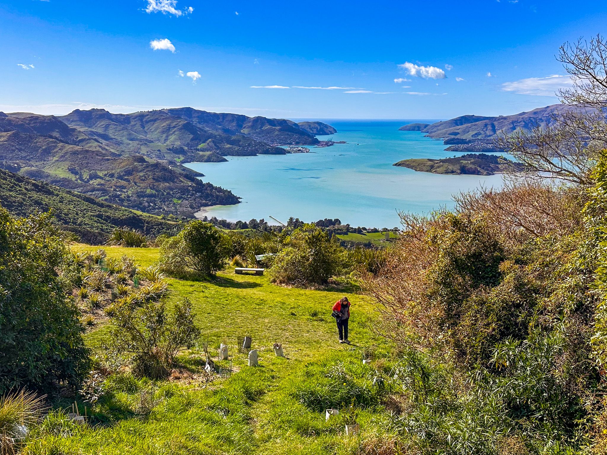
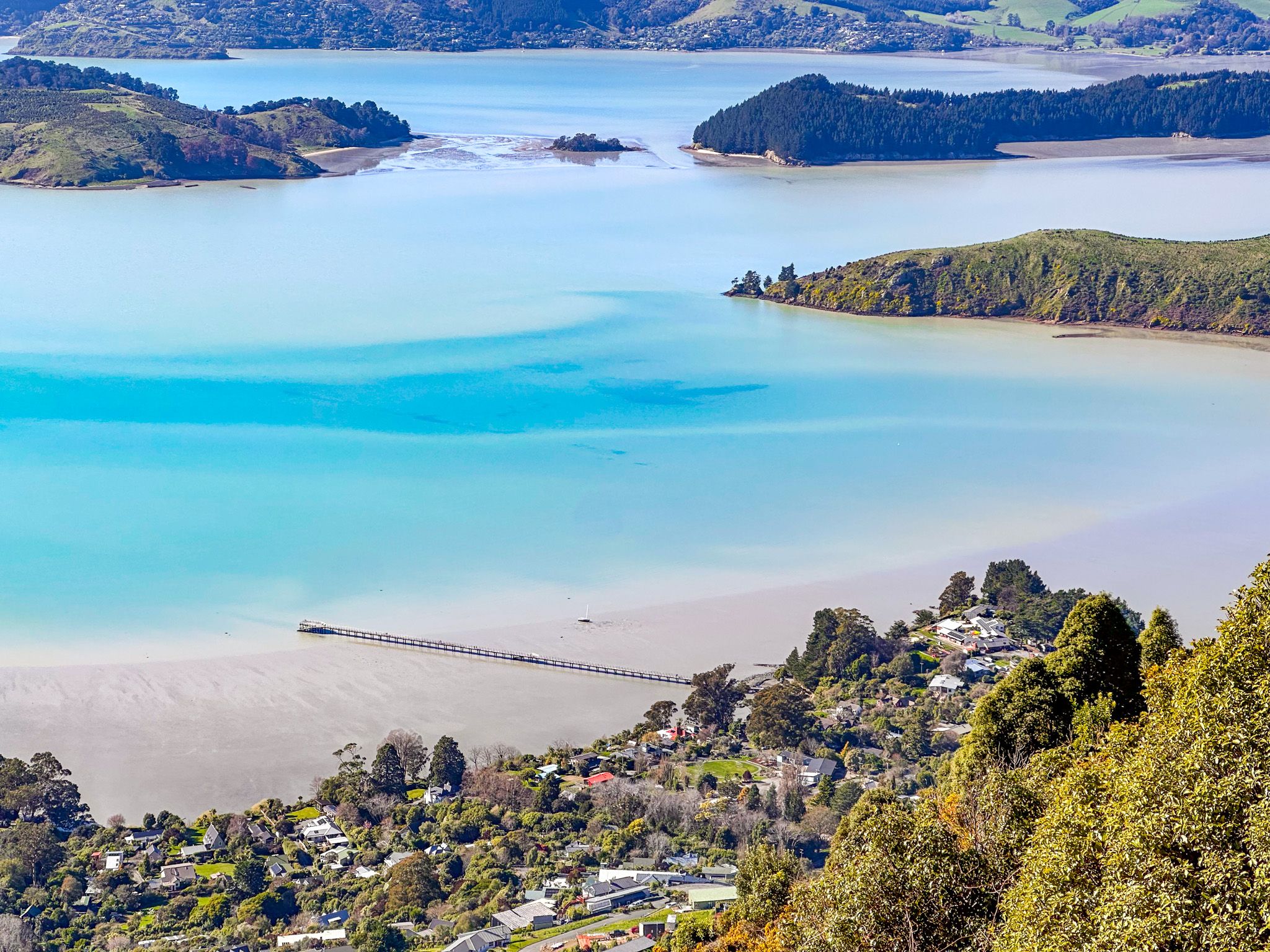
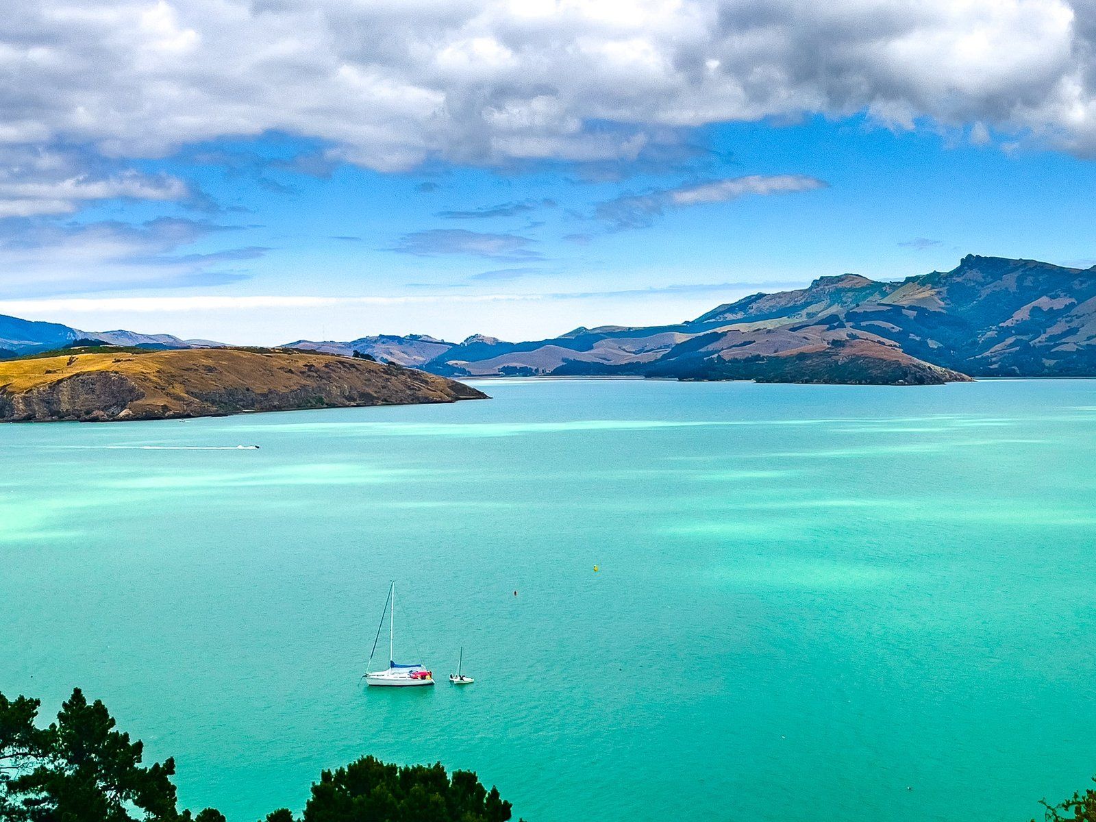
What remains today is an empty stone shell with a roof, open on the western side, serving as a sheltered viewpoint. Next to this are the ruins left over from the earlier demolition. The buildings are on a grassy hillside, just below Summit Road and next to the forest. The views from the shelter are west across the Canterbury Plains to the Soutehrn Alps. In 2023, the John Jameson Lookout and a new car park and lookout were developed on the east side of Summit Road opposite the shelter, providing views across Lyttelton Harbour.
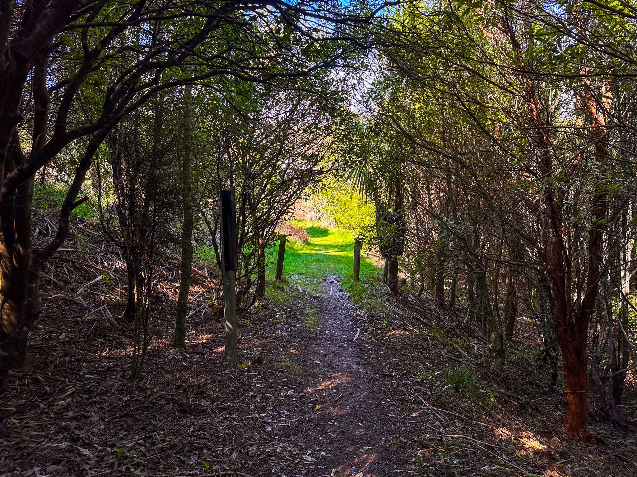
The Kennedy's Bush Track
The main walking access to the reserve is the Kennedy's Bush Track, which starts at Halswell Quarry Park on Kennedy's Bush Road. The track climbs 3.5 km to the Sign of the Bellbird, shared with cyclists, and takes around one hour. It is the longest ascent up the Port Hills. From the shelter, the Crater Rim Walkway continues in both directions along the ridge.
How to Get There
For the Kennedy's Bush Track, the trailhead is at Halswell Quarry Park on Kennedy's Bush Road, accessed from Halswell in the southwest of Christchurch. By car, the Sign of the Bellbird and the new John Jameson Lookout opposite are reached from Christchurch via Colombo Street and Dyer Pass Road to Dyers Pass, then heading south on Summit Road. This drive is 14 km and takes about 22 minutes. From State Highway 75 between Christchurch and Akaroa, take Gebbies Pass Road to the south end of Summit Road.
Nearby places to visit include the Sign of the Takahe, Victoria Park, Mt Vernon, Sign of the Kiwi, Hoon Hay Scenic Reserve and Gibralter Rock.