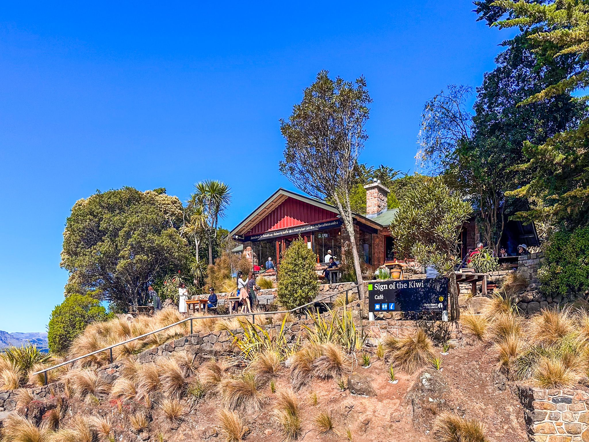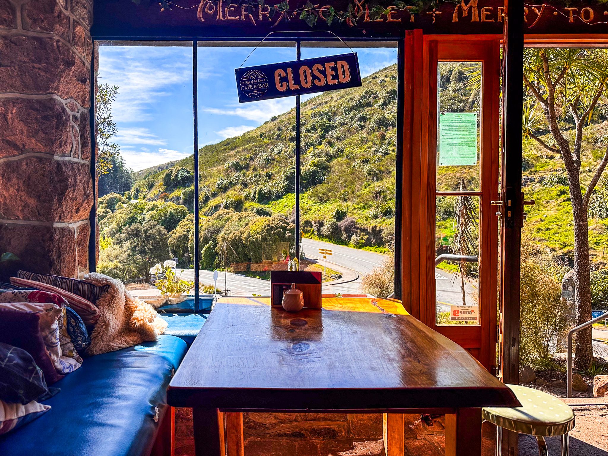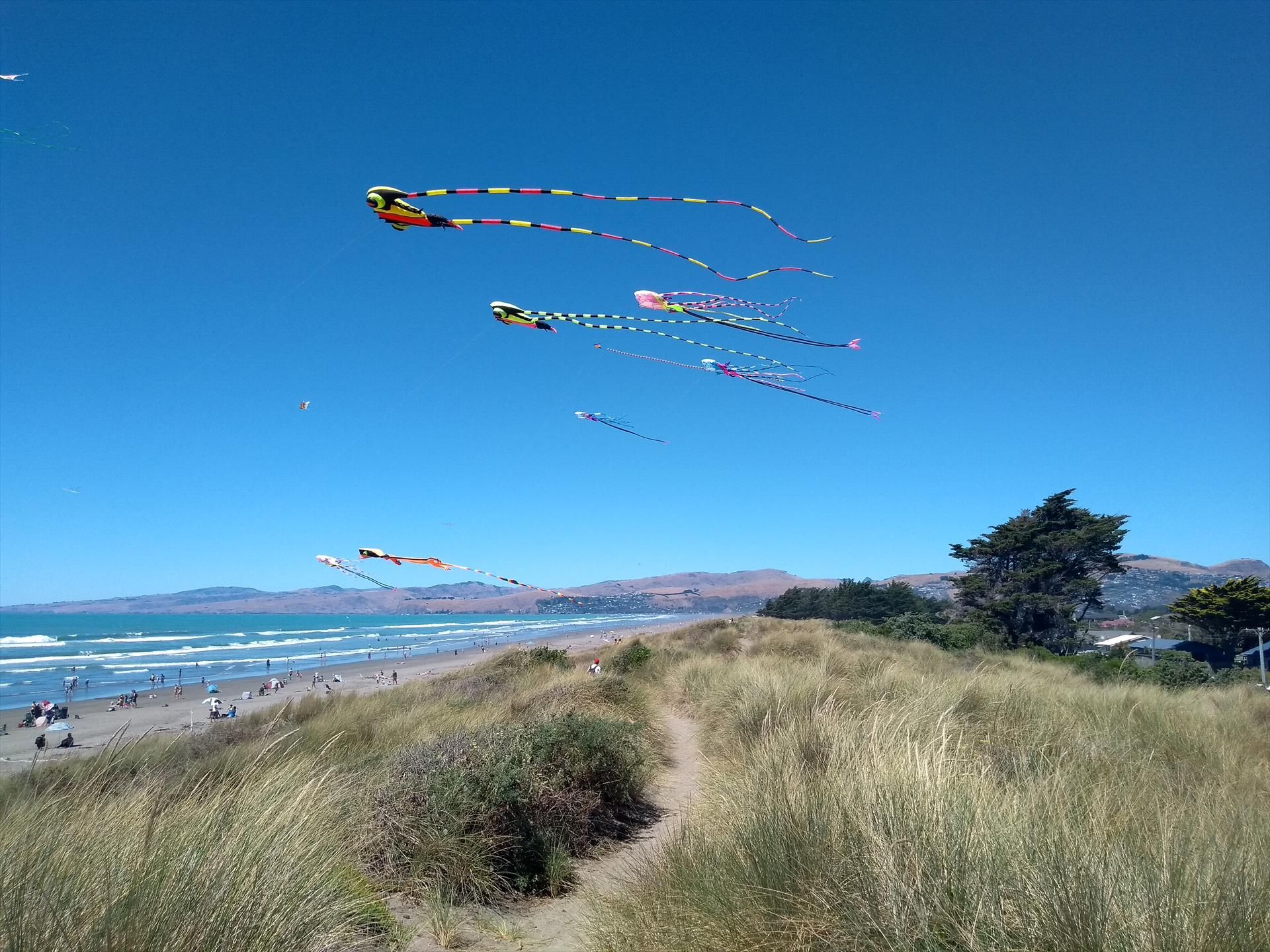
Historic Rest-House at the Heart of the Port Hills
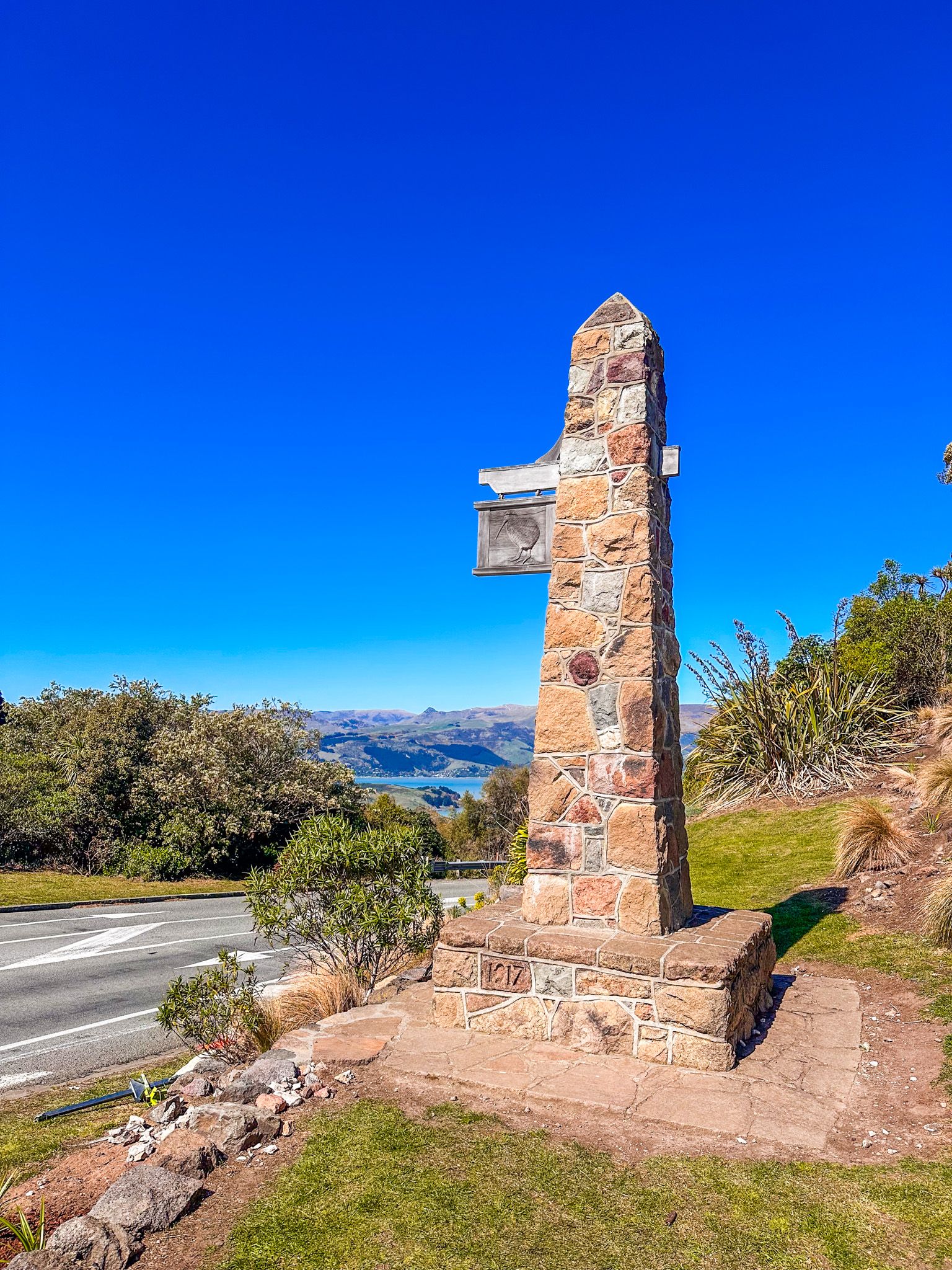
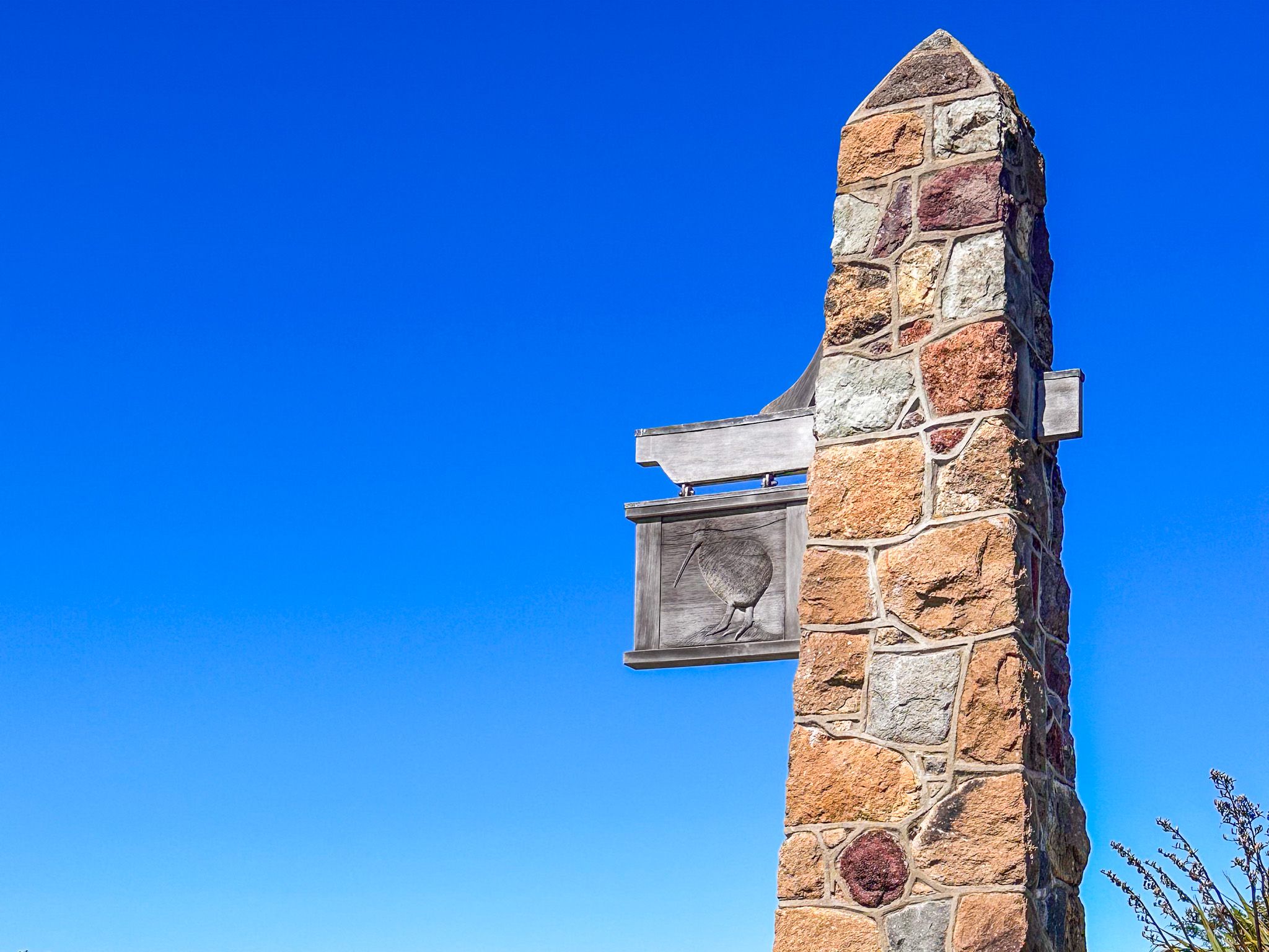
The Sign of the Kiwi sits at the junction of Dyers Pass Road and Summit Road, at Pukeatua / Dyers Pass, around 10 km from central Christchurch. At roughly 330 metres above sea level, it marks the point where the road from the city meets the crater rim, with Summit Road following the rim to the north and south. It has been a stopping point for walkers and travellers since 1917, and today, as a cafe, it remains one of the most popular destinations on the Port Hills.
History and architecture
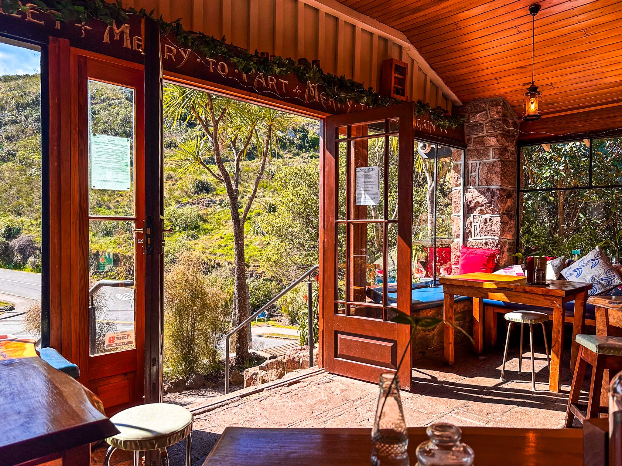
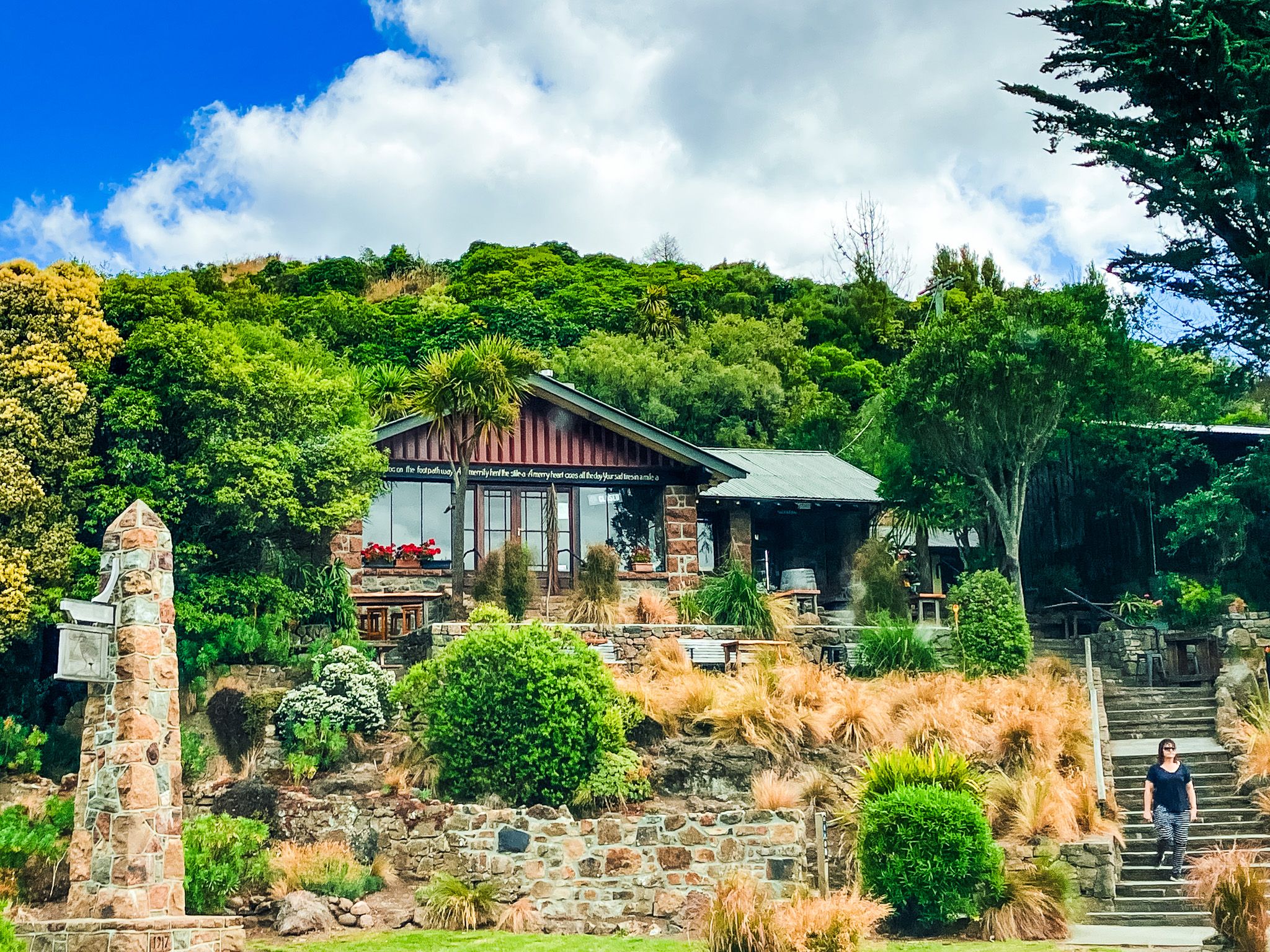
The building was designed by Samuel Hurst Seager, a Christchurch architect and major proponent of the Arts and Crafts movement. Seager had strong views on vernacular architecture, the idea that buildings should use local materials and blend with their setting. Built of local stone, low to the ground, unlined inside, and positioned to sit quietly within the landscape rather than dominate it, it stands in pointed contrast to the grandeur of the Sign of the Takahē further down the road. It was built in 1916–17 by Harry Ell, originally as a toll house and tearoom. Ell's plan was that collected tolls would fund the development of Summit Road.
After the 2011 earthquake, it was closed for almost six years, reopening in January 2017 following a NZ$760,000 repair and structural upgrade. Just weeks later, the 2017 Port Hills fires burned through the area immediately around the building; it survived undamaged.
Views and Walks
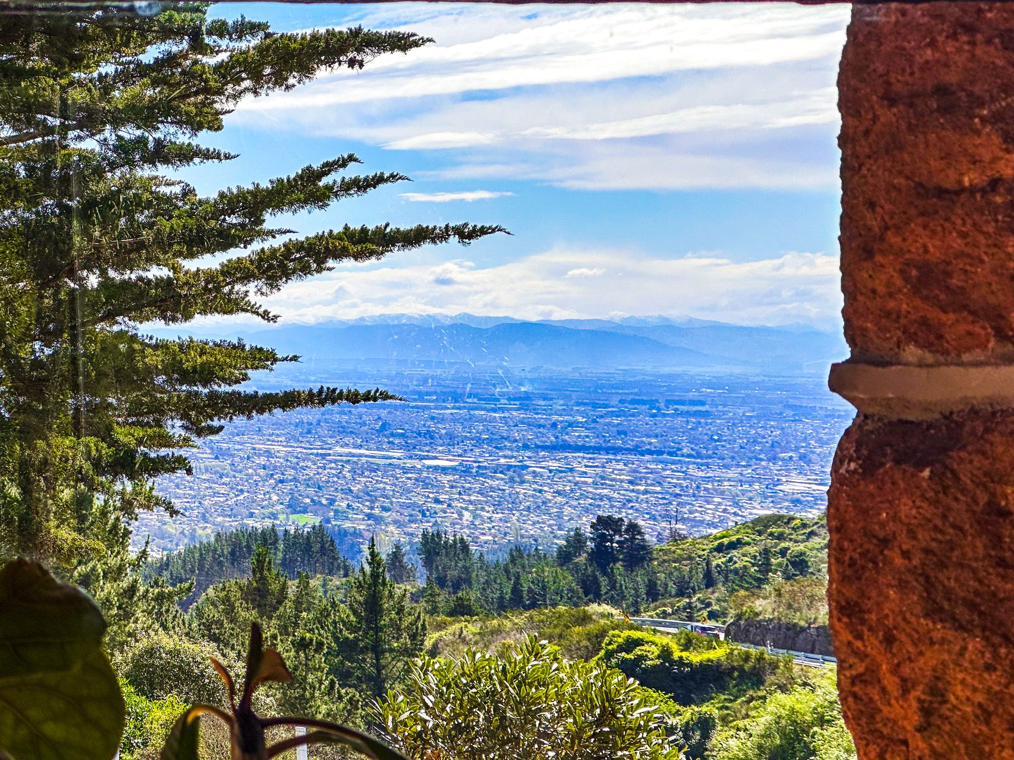
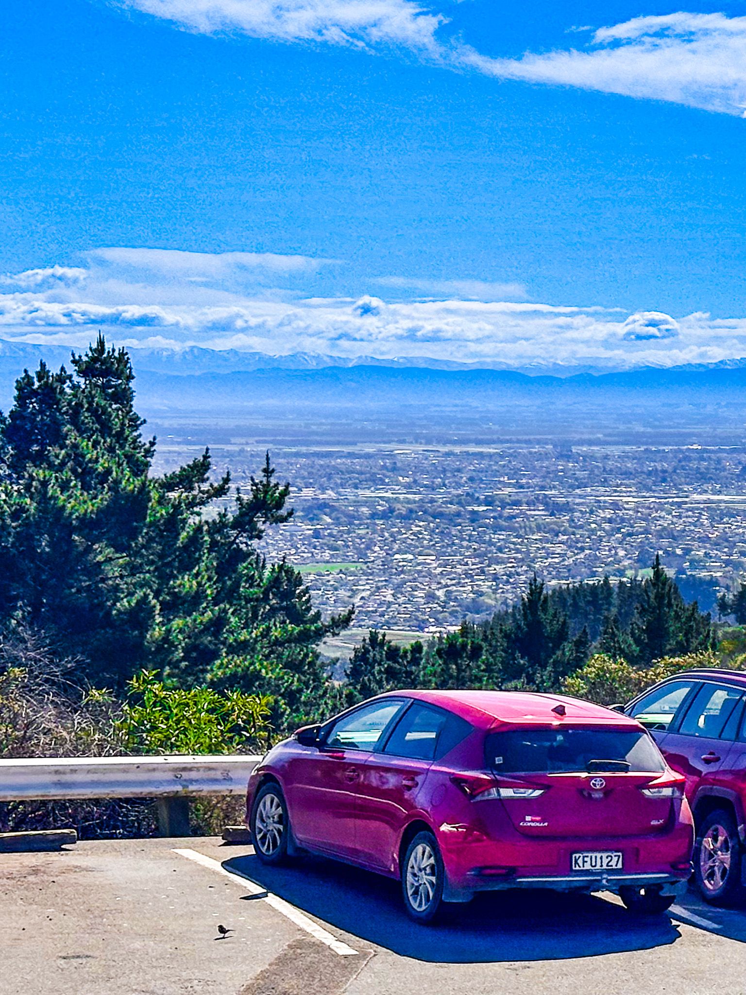
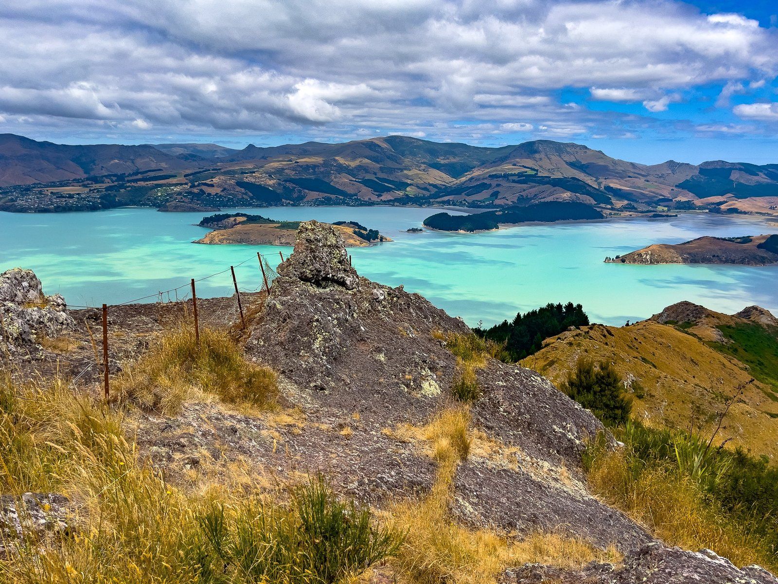
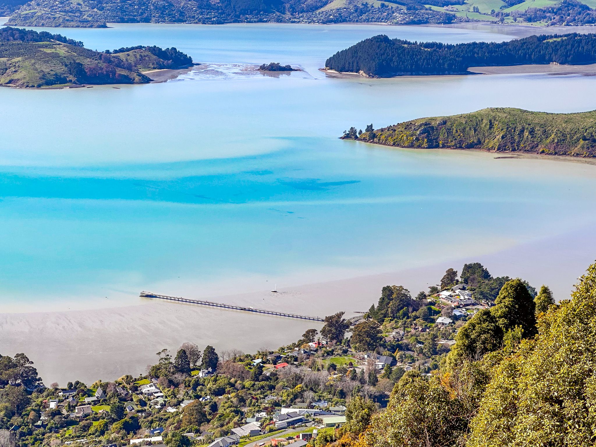
The café has indoor and outdoor seating with views to the west-southwest over the hills and across the landscape toward the plains. There is a reasonable car park at the southwest corner of the Summit Road and Dyers Pass Road junction.
The Sign of the Kiwi is one of the best starting points for walks on the Port Hills. The Crater Rim Walkway runs north along the rim toward Evans Pass and south-southeast toward the Sign of the Bellbird and Kennedy's Bush. The Harry Ell Walkway drops 2 km north through native and exotic woodland to Victoria Park, taking around an hour one way. Mitchells Track crosses Dyers Pass Road and leads to a viewpoint overlooking Governors Bay. Shorter nearby loop options include Cedrics Track, Gilpins Track, and the Coronation Hill Circuit.
How to Get There
From Central Christchurch, head south on Colombo Street and continue into Cashmere, crossing Cashmere Street onto Dyer Pass Road. Continue up this road until you reach Pukeatua / Dyers Pass. Park opposite the Sign of the Kiwi in the car park. The drive is 9.7 km and takes 17 minutes.
Nearby places to visit include the Sign of the Takahē, Victoria Park, Mount Vernon, the Sign of the Bellbird and Hoon Hay Scenic Reserve.