Discover Tāwharanui Regional Park
Located on the Matakana Coast of the Hauraki Gulf, between Ōmaha and Matakana, the Tāwharanui Peninsula is a stunning coastal retreat in Auckland. This area is renowned for its white-sand beaches, rolling farmland, and restored native forests teeming with rare birds. At the centre of this natural beauty is Tāwharanui Regional Park, one of Auckland City's 28 regional parks. The park is a predator-free open sanctuary, bordered by the Tāwharanui Marine Reserve, and offers excellent walking trails, safe swimming spots, and a rich history spanning centuries of Māori occupation, its more recent farming past, and its transformation into a wildlife haven.
A Scenic Open Sanctuary
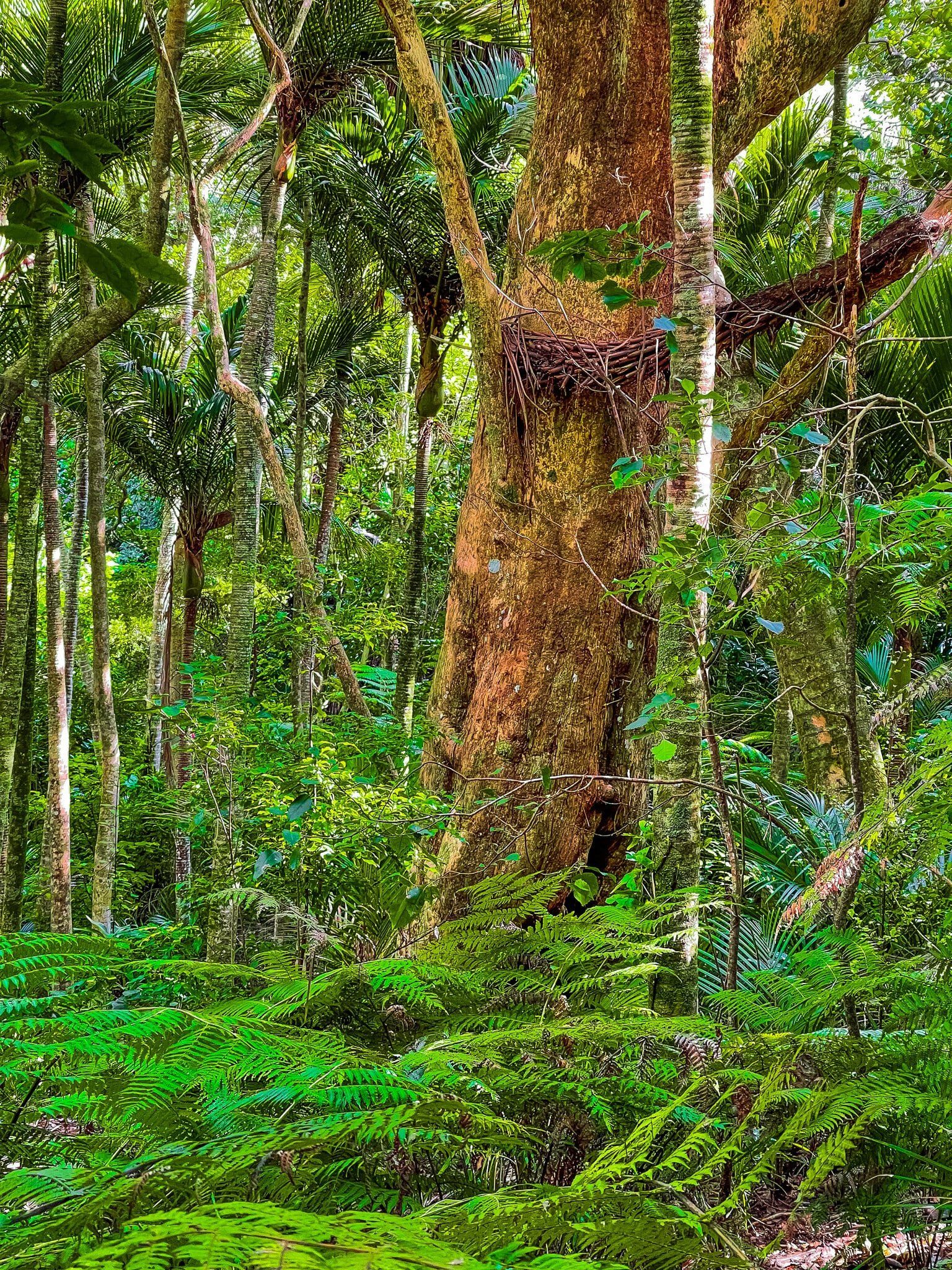
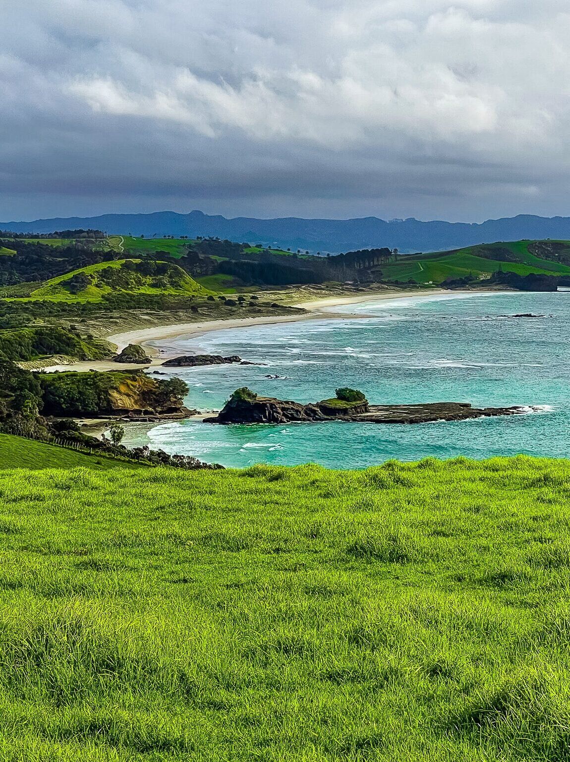
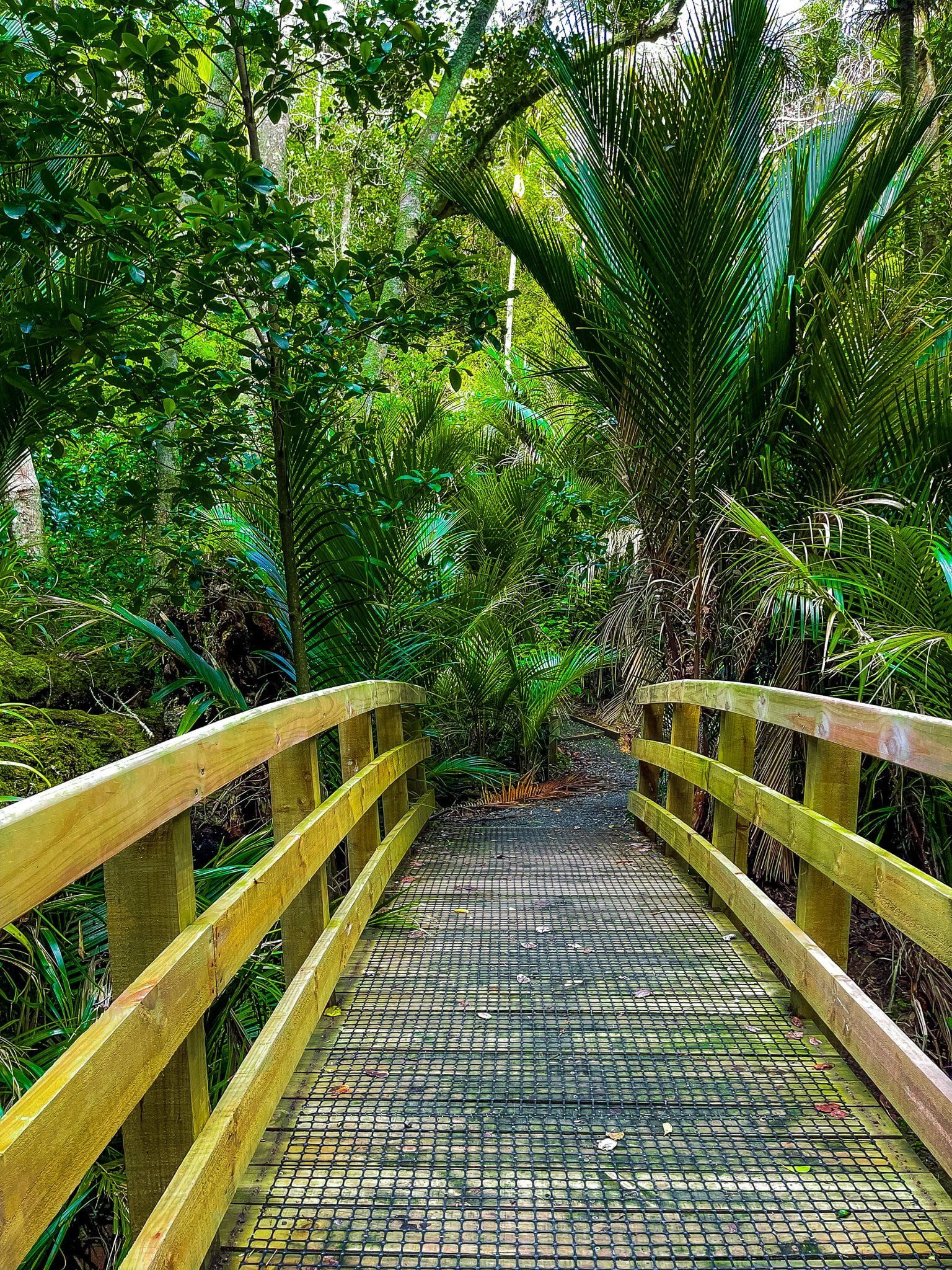
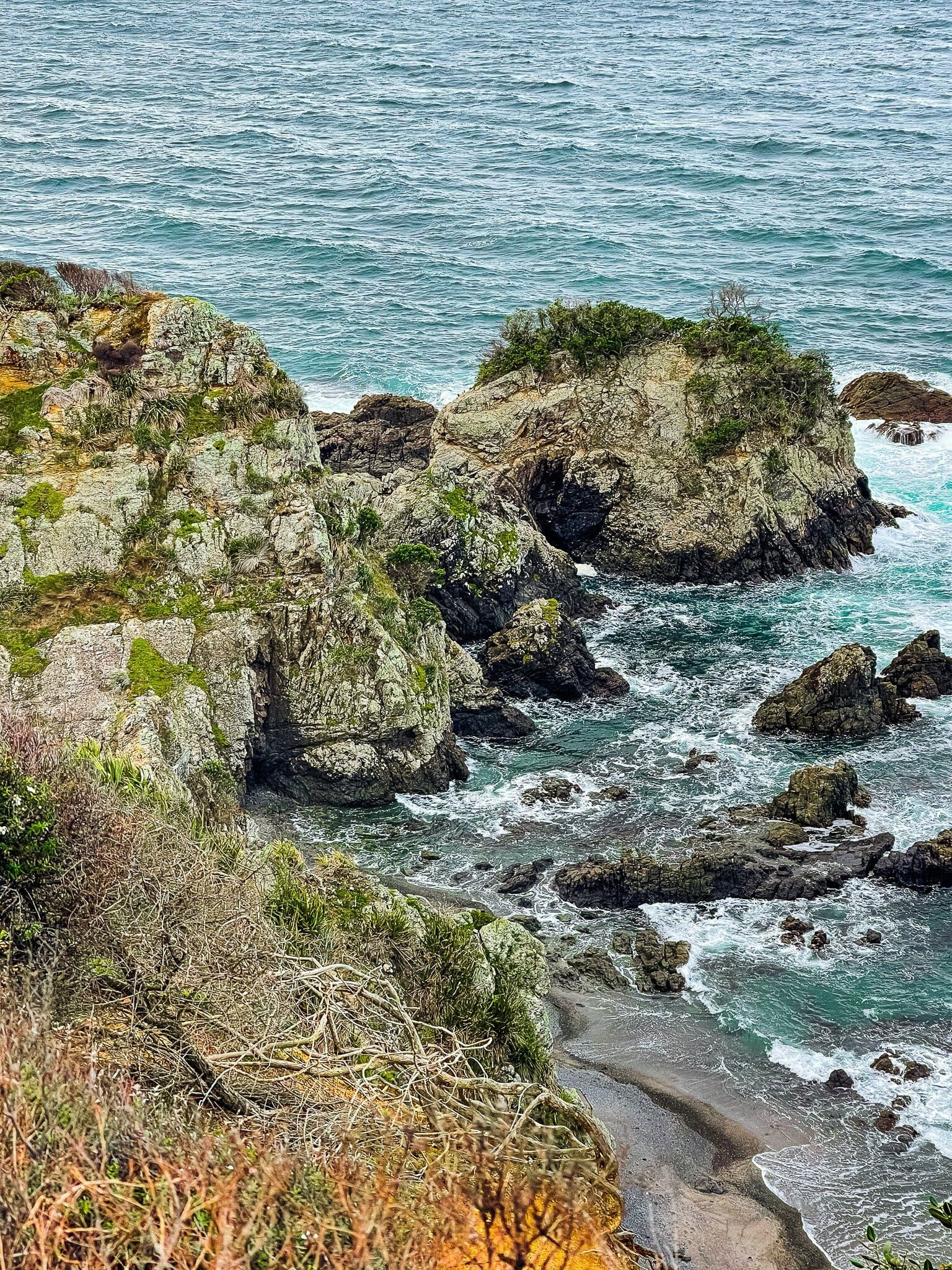
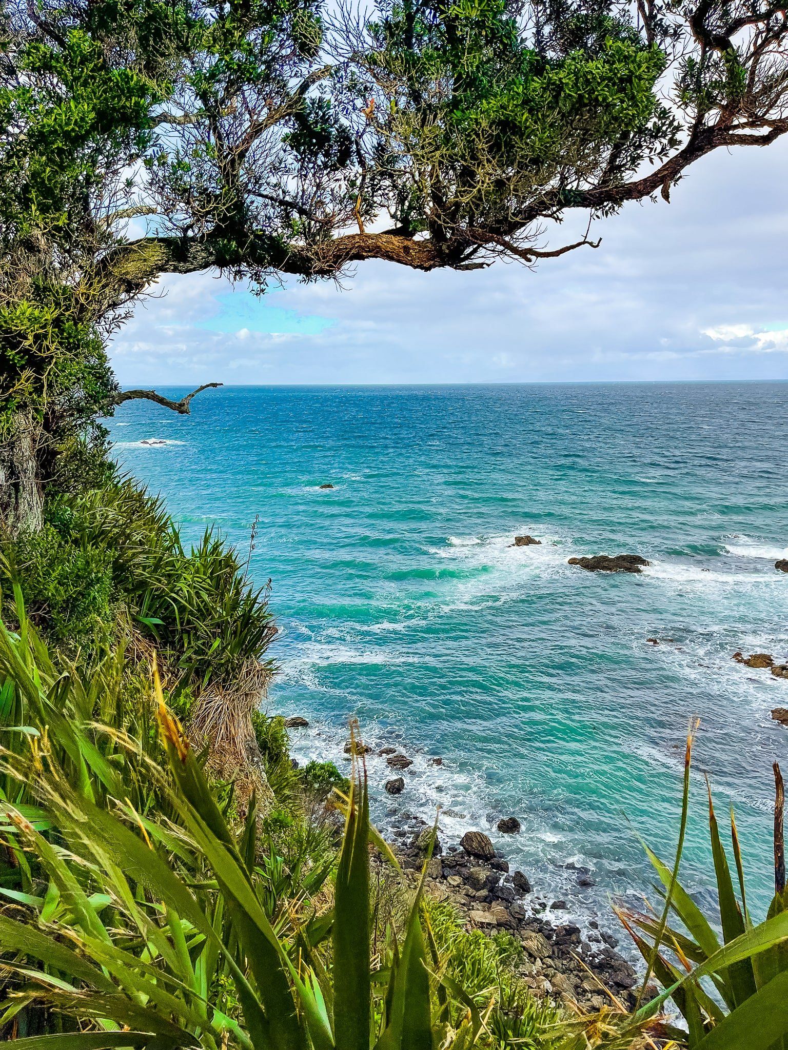
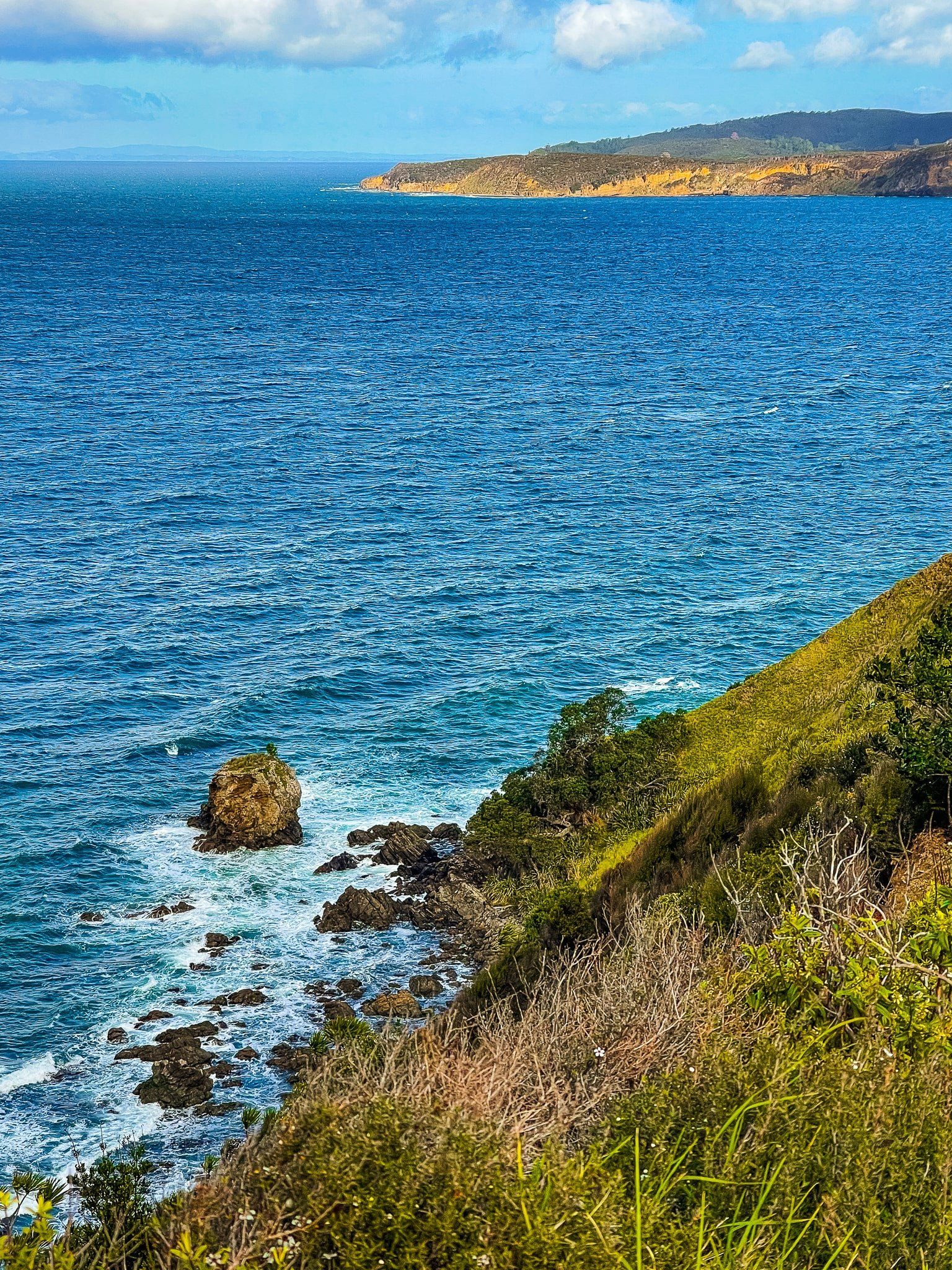
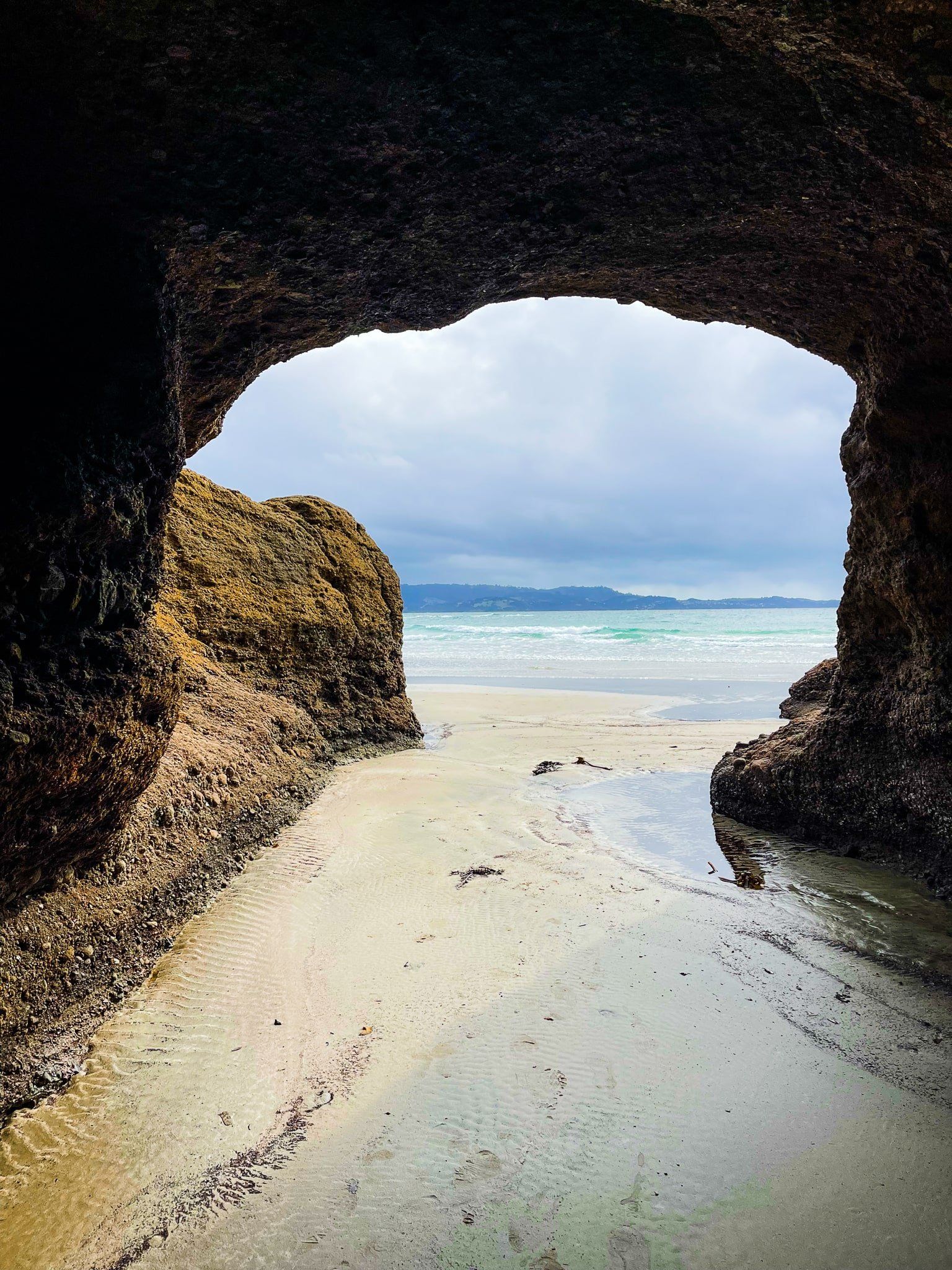
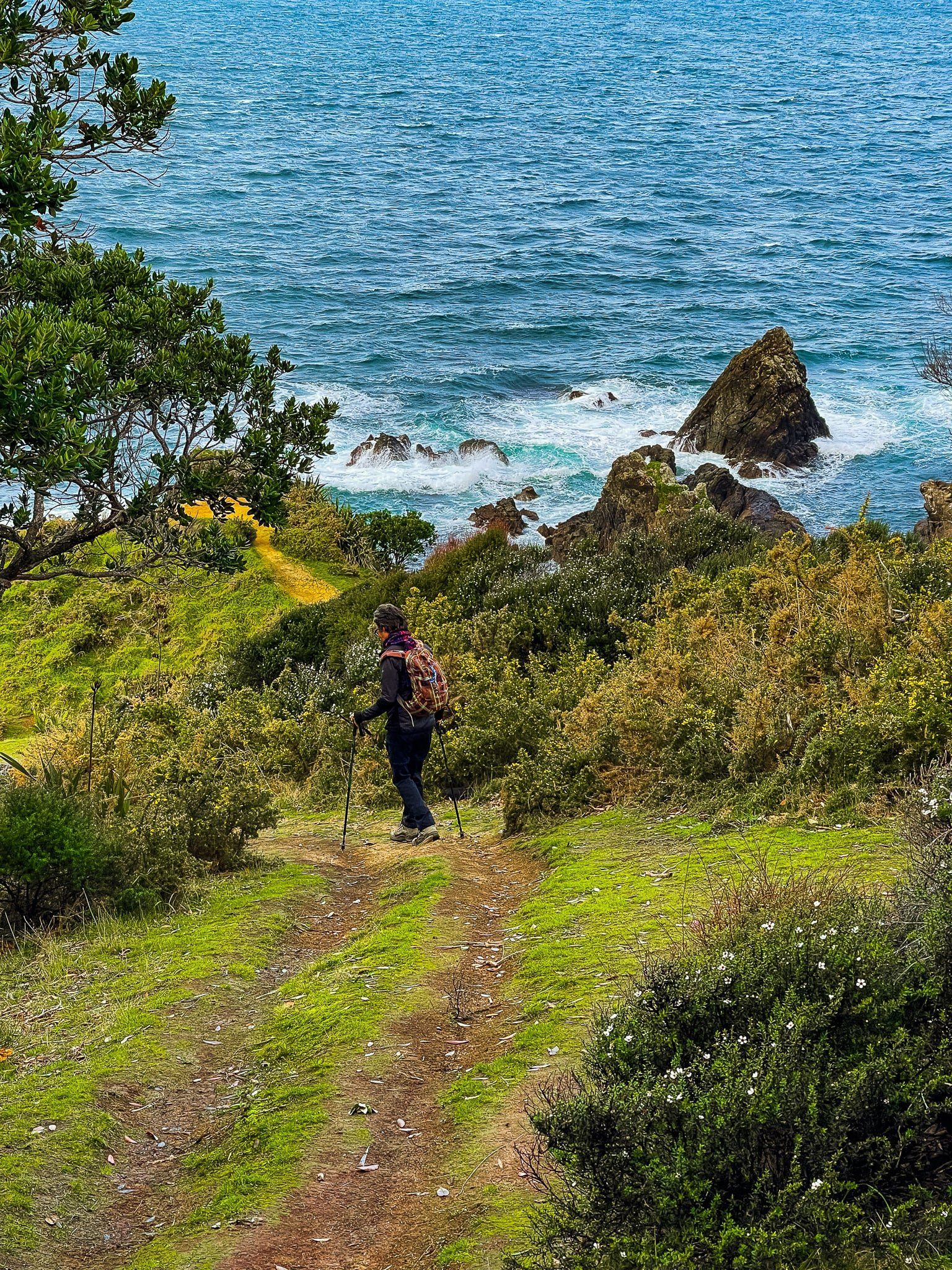
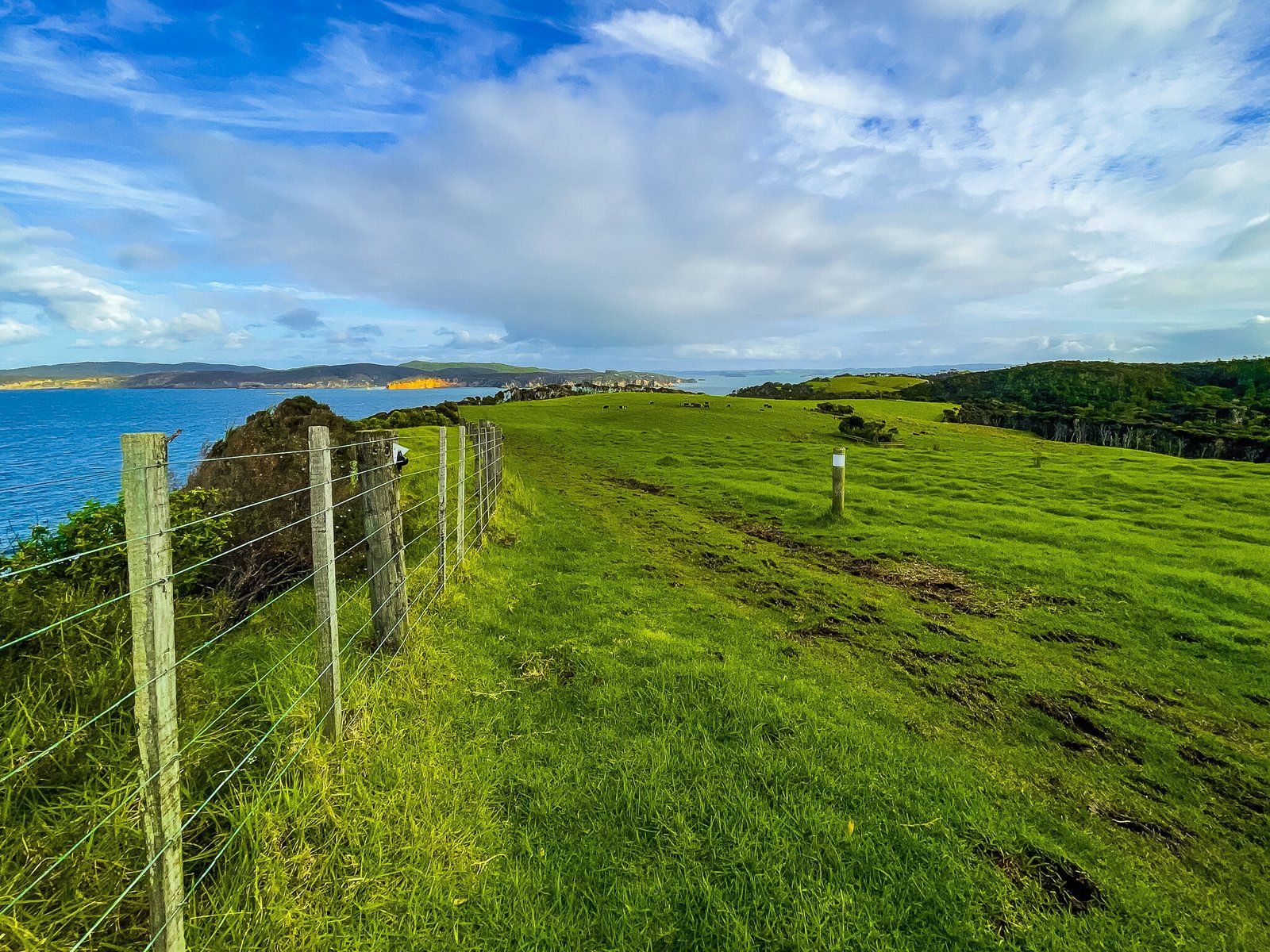
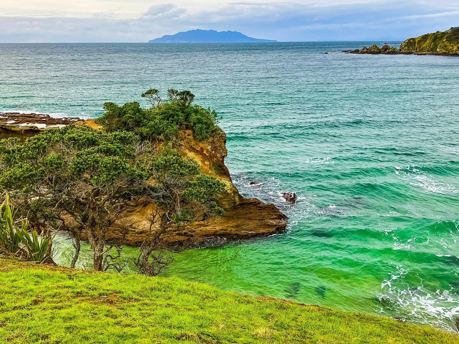
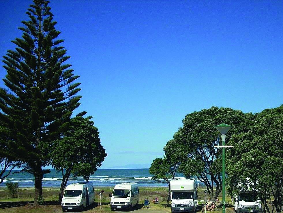
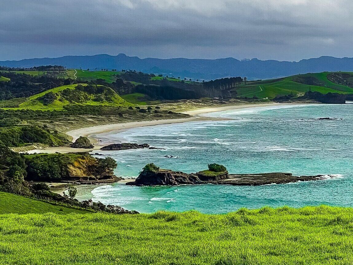
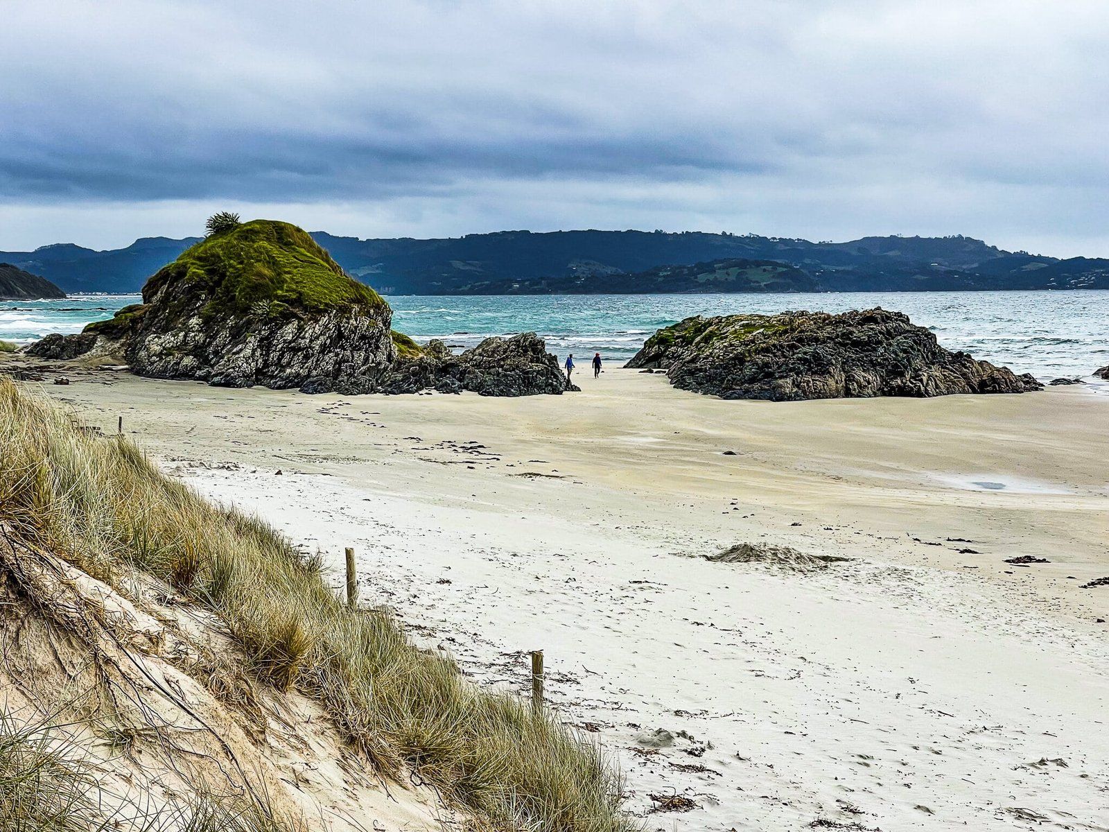
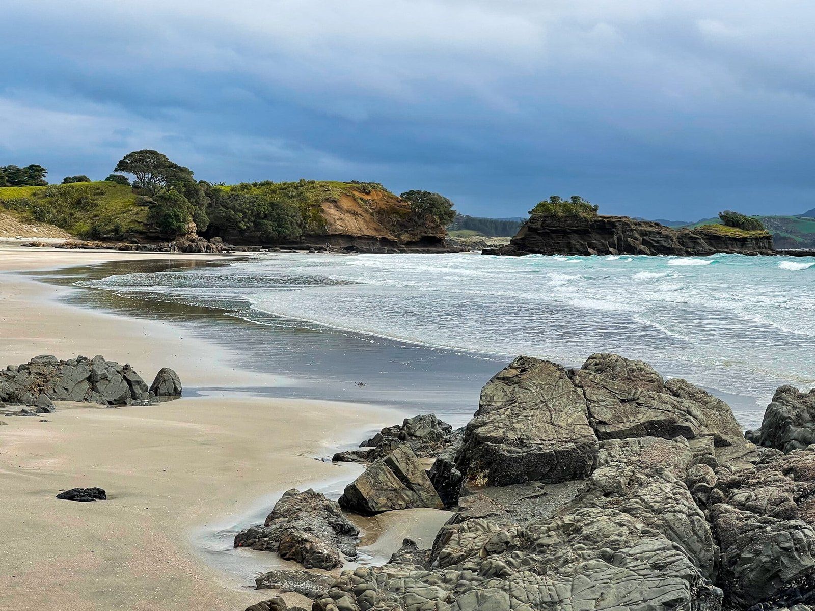
Tāwharanui Regional Park is one of Auckland’s largest and most popular coastal parks. Its northern coastline features beautiful white-sand beaches, like Anchor Bay, which is ideal for sheltered swimming and exploring rock pools. The park also has a campground for those wishing to stay overnight. Numerous walking trails crisscross the park, including the Ecology Trail, a loop through regrowth forest that takes about an hour to complete. Other tracks, such as the South and North Coast Tracks, Fishermans Track, and Takatū Loop Tracks, permit exploration of the farm park, wetlands, headlands, and beaches.
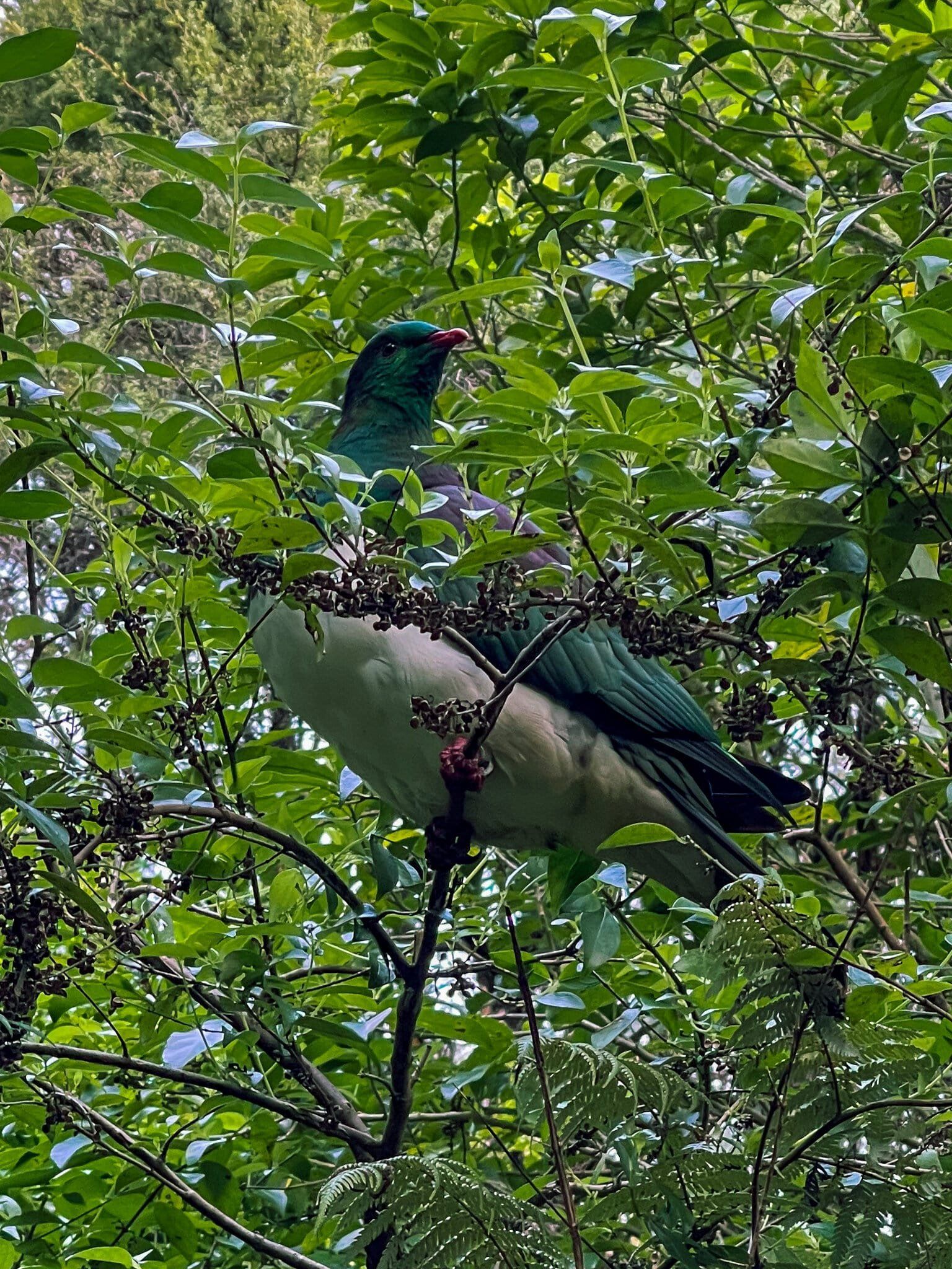
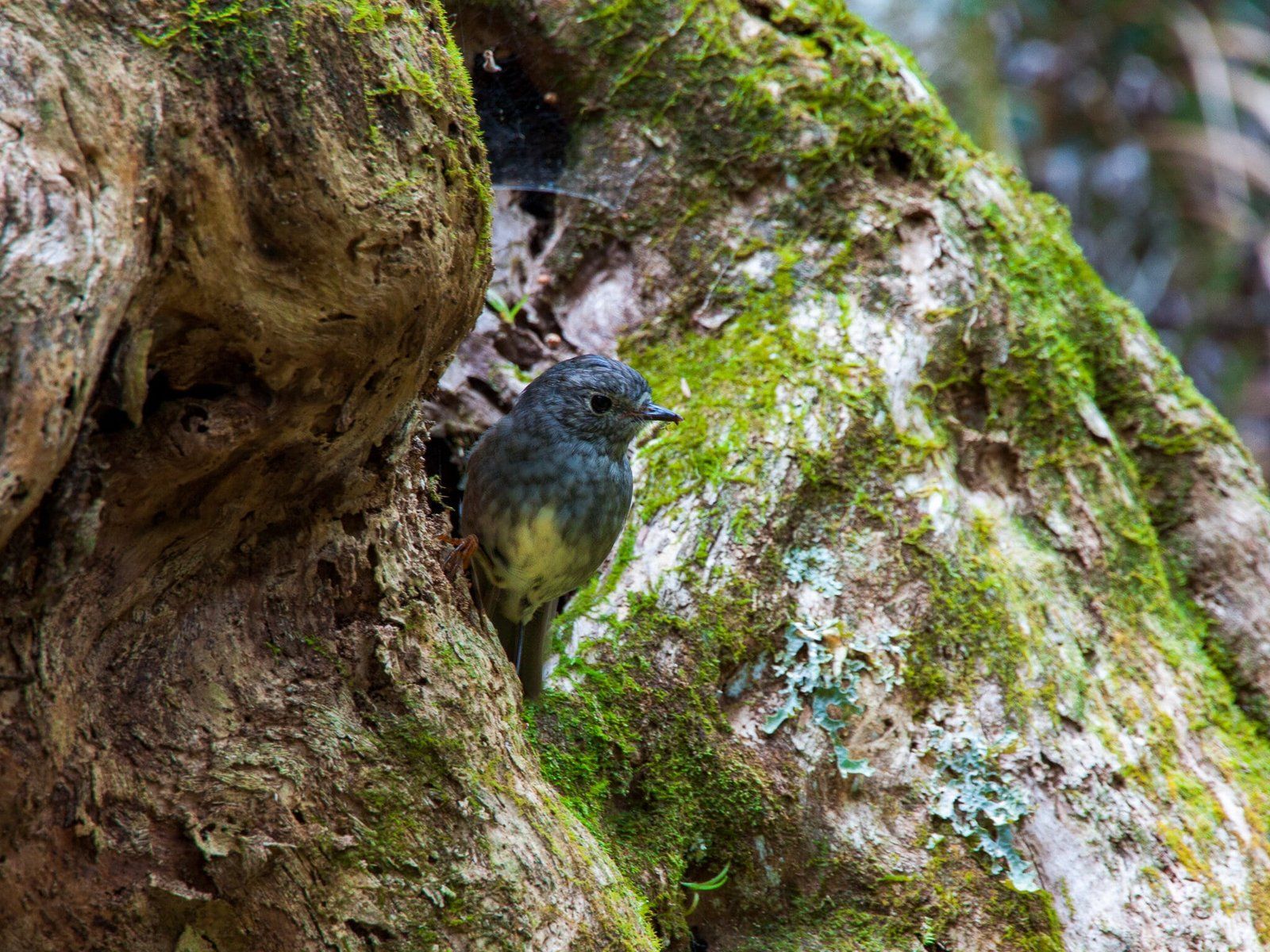
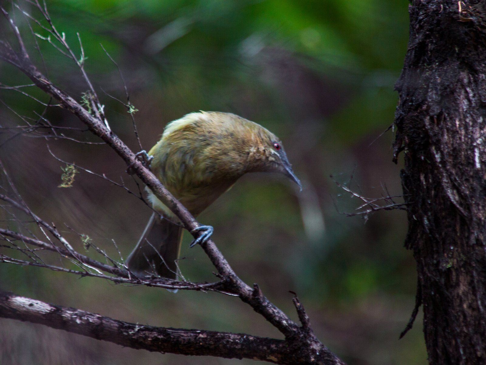
In the 1990s, the park was transformed into an "open sanctuary", a working farm enclosed by a predator-proof fence, with public access maintained. Pest eradication and extensive native planting have led to remarkable results. Bellbirds, once absent from Auckland’s mainland, now thrive here, and rare birds such as tīeke and takahē are easily spotted. Kiwi are present and sometimes heard or seen at night, alongside kererū, native robins, dotterels, and other species. Offshore, the marine reserve protects rich coastal waters, first safeguarded in 1981 as New Zealand’s first marine park.
Early Māori Settlement and Abundance
Māori have lived in this area for over 800 years. Ngāti Raupō, a hapū of Te Kawerau, occupied settlements around the Mangatāwhiri Stream until the 1870s. The region was rich in marine and forest resources, celebrated in the saying, "He wha tāwhara ki uta; he kiko tamure ki tai": "the flowering bracts of the kiekie on the land, the flesh of the snapper in the sea." Tawharanui refers to this, meaning “the abundant edible bracts of the kiekie vine”.
Pā sites like Ōponui guarded the entrance to the peninsula, while Waikokowai (Anchor Bay) provided valuable red ochre for decorative and ceremonial use.
Musket Wars and Displacement
During the 1820s, Ngāti Manuhiri and Ngāti Raupō allied with other hapū from the Mahurangi–Matakana region during the Musket Wars. After initially repelling Ngāpuhi incursions and killing the Ngāpuhi rangatira Te Koriwhai in 1820, they suffered defeats at Te Kohuroa (1822) and Kaiwaka (1825). The survivors fled both north and south, beginning to return by the mid-1830s.
Land Loss and the Great Reserve
Ngāti Paoa, long engaged with the shark fishery along the coast, took advantage of the disruption in local occupation and wrongfully sold large blocks of land in the area to newly arrived European timber traders in the 1830s and to the new government in 1841 (the Ōmaha–Mahurangi purchase, covering Takapuna to Ōmaha).
The local hapū did not accept this, and in 1845, the rangatira Parihoro undertook an act of muru (ritual plunder) of Thomas Millon’s Tokatū Peninsula timber station. Parihoro also sued the government in court. In 1853, the government recognised Māori customary ownership of an enormous reserve from Ōmaha Spit to Lagoon Bay and inland toward the Kaipara. This claim was even larger than Te Hemara’s restored reserve at Mahurangi, which had also been wrongfully sold to the government and then recovered by local hapū.
A Historic Rescue
Throughout the 1850s–60s, Māori engaged in Matakana’s timber, boat building, and farming economy as Europeans arrived in the region, while maintaining a subsistence lifestyle. In 1864, a significant incident occurred when the rangatira Tauwhitu honoured a debt to Waikato rangatira Pōtatau Te Wherowhero. Te Wherowhero had protected refugees in the Waikato during the Musket Wars, and Tauwhitu, in turn, helped government-held prisoners from the Battle of Rangiriri escape from prison ships off Kawau Island to Māori Bay at Tāwharanui. This had the potential to escalate, as the escapees built a pā at Mt Tamahunga and stood ready to defend it. However, the government chose to grant them safe passage home to the Waikato rather than engaging in battle.
Farming Years and Park Creation
Between 1873 and 1877, Māori sold Tāwharanui to Europeans, and the Martin, Jones, and Young families farmed it for decades. Kauri milling, firewood cutting, and shingle extraction were mainstays. Coastal trade was important until roads were developed in the 1900s.
Auckland City purchased 600 hectares of the farmland on the peninsula in 1973, and large-scale native planting began in the 1980s. In the 1990s, the idea of transforming the park into an "open sanctuary" for native birds, while maintaining public access and a working farm, was investigated and implemented. This resulted in a predator-proof fence across the Peninsula, with access by car through an automatic gate. Further planting and the eradication of mammalian pests followed.
How to get there
Tāwharanui Regional Park is approximately 85 km from Downtown Auckland. To reach the park, drive north on the motorway to Warkworth, then take Matakana Road to Matakana. Continue a short distance on Leigh Road towards Leigh, turn right onto Takatu Road after 1.5 km, and follow it to the Anchor Bay car park inside the park.