Discovering the Wairau River
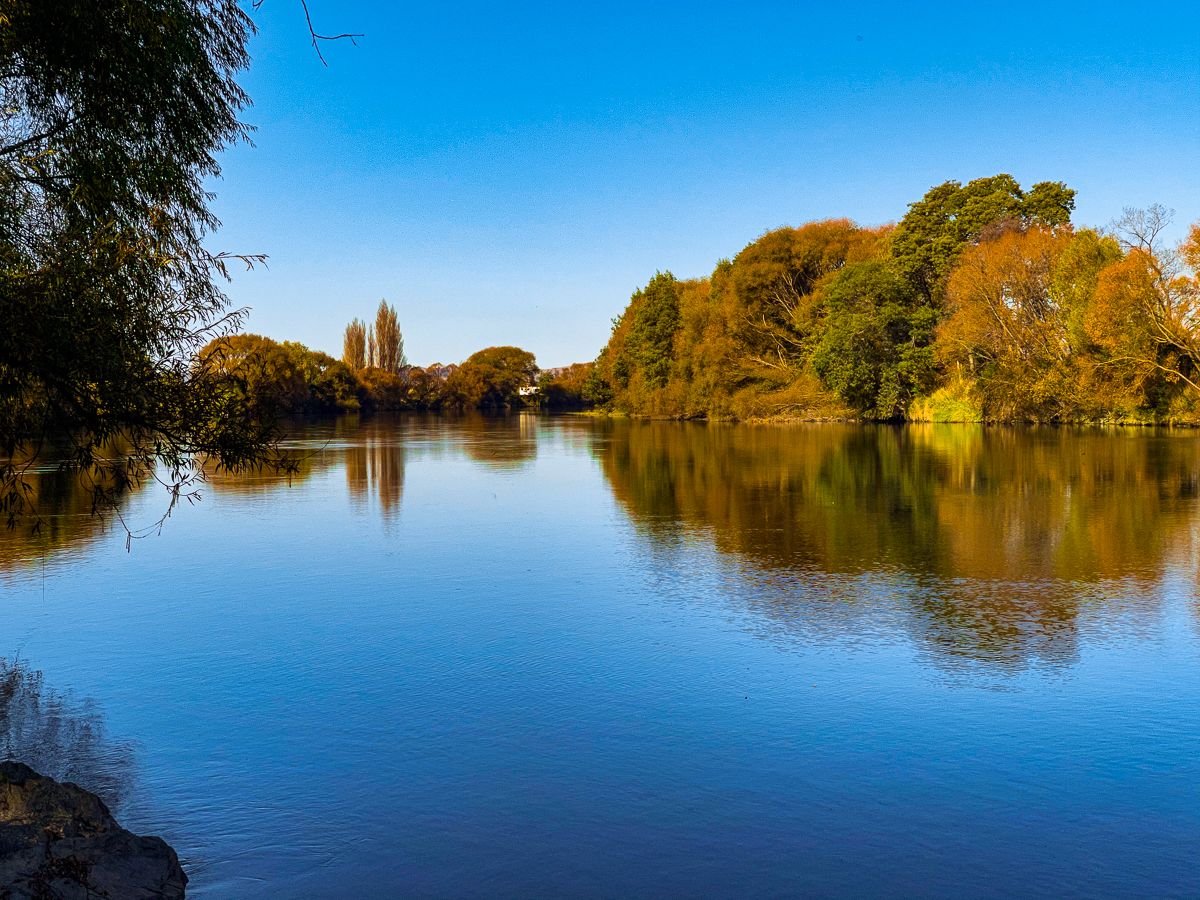
The Wairau River, originating in the Spenser Mountains of the Southern Alps, is a prominent natural feature in the upper South Island. Stretching approximately 170 km, it is the second-longest river in the region, following the Buller River. The river flows north between the St Arnaud and Raglan Ranges, marking the eastern boundary of Nelson Lakes National Park, before continuing northeast through the Wairau Valley and emptying into Cook Strait at Te Koko o Kupe / Cloudy Bay. The river's journey through diverse landscapes makes it an interesting destination for scenic walks, fishing, and exploring historical sites.
Geographical and Historical Significance
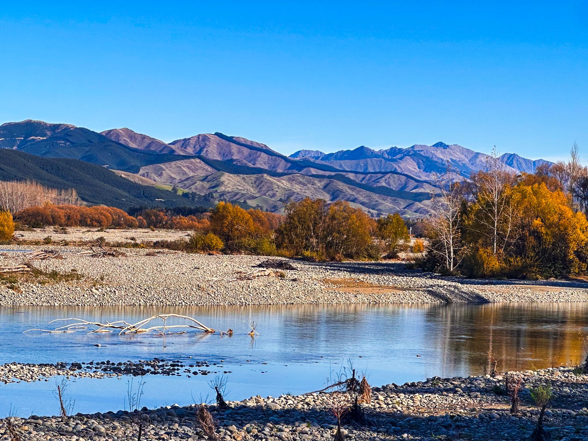
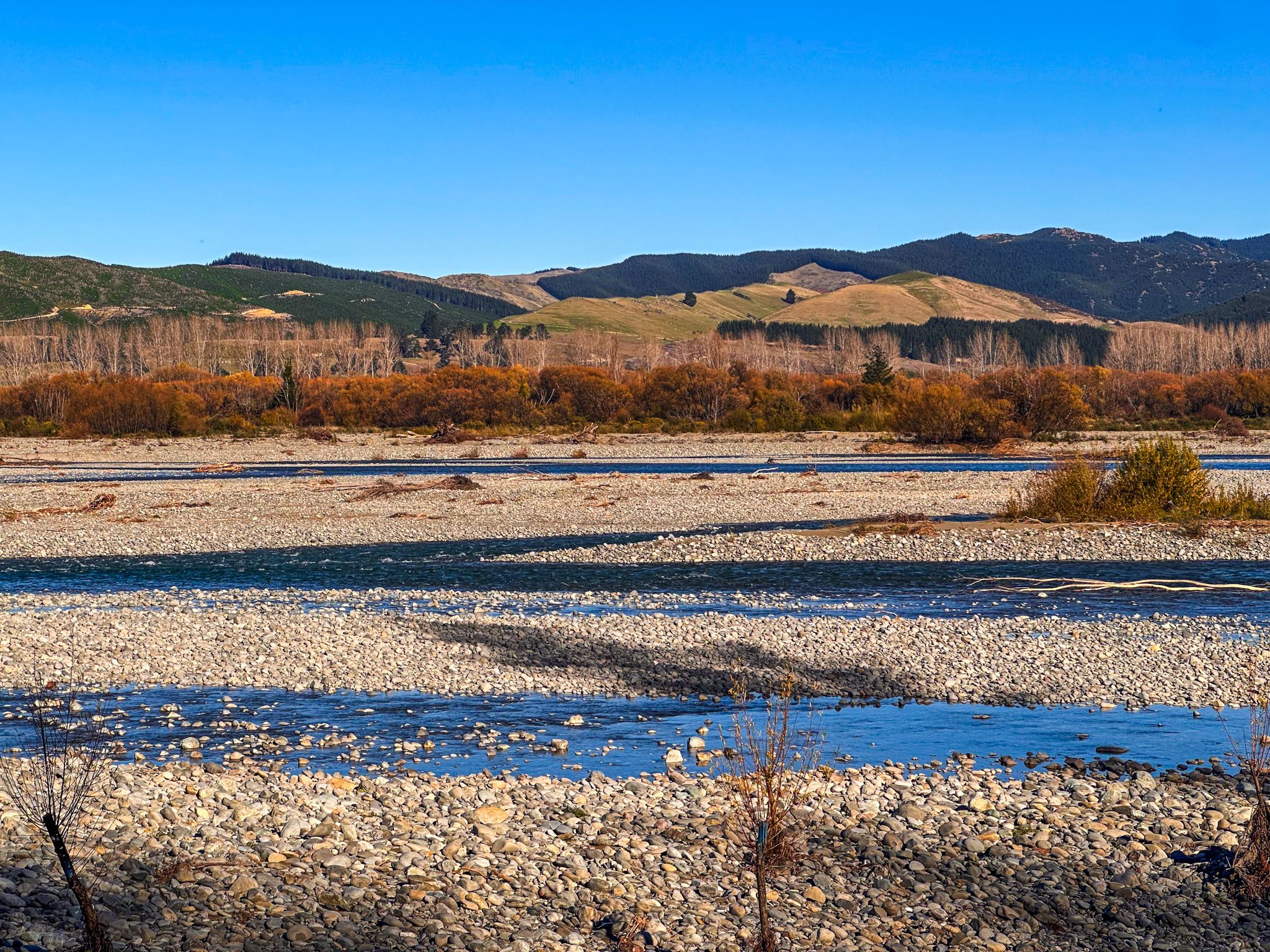
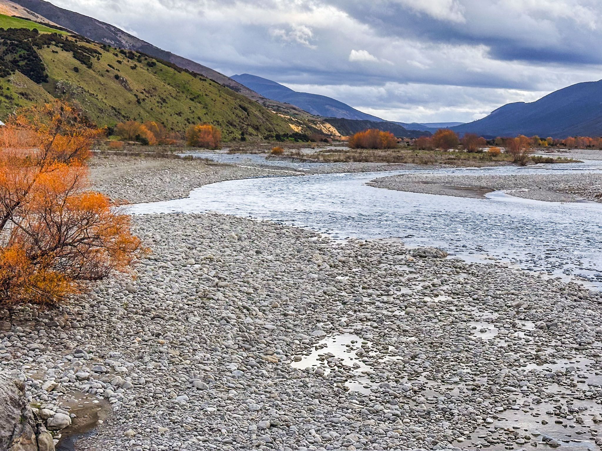
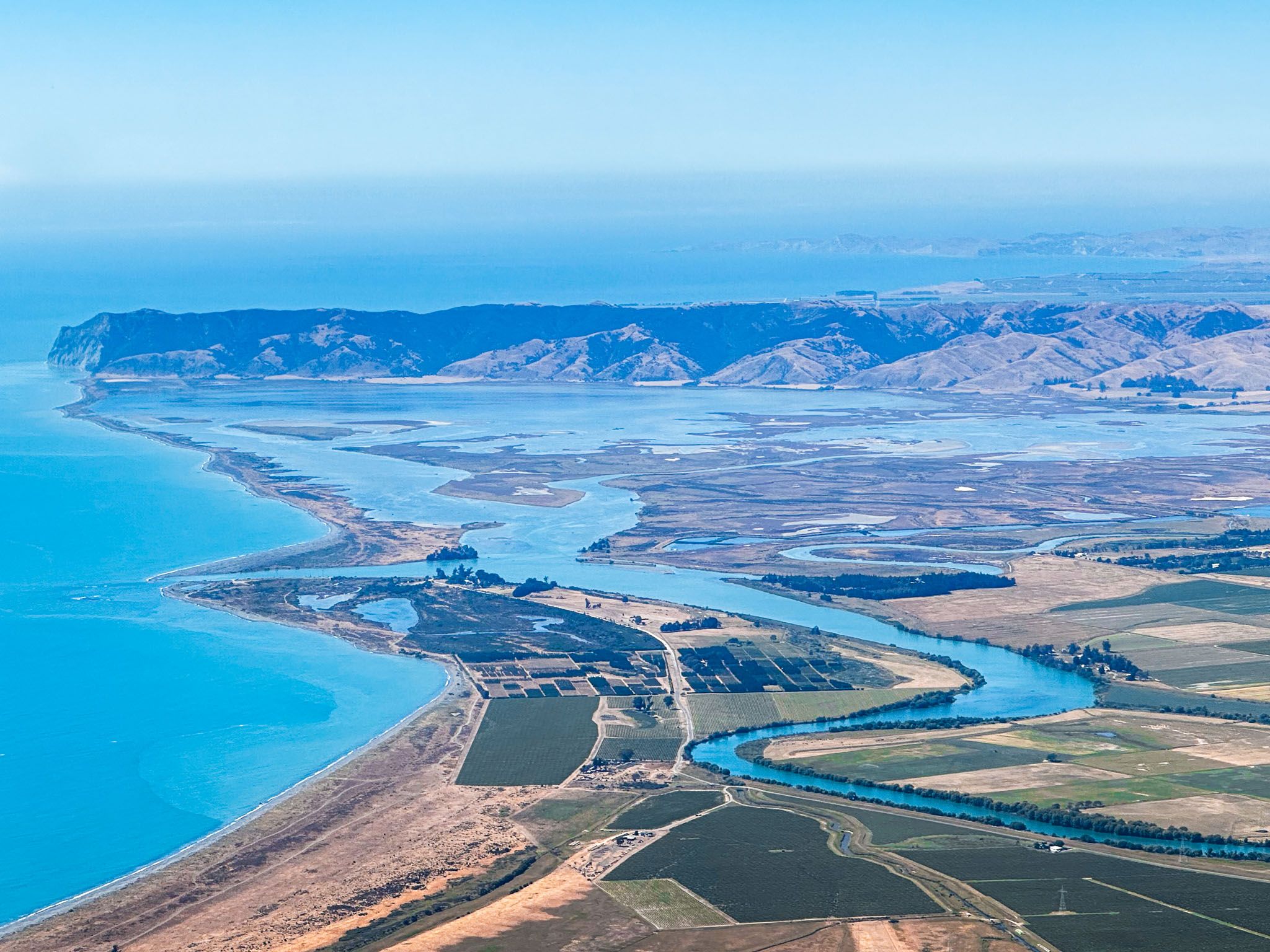
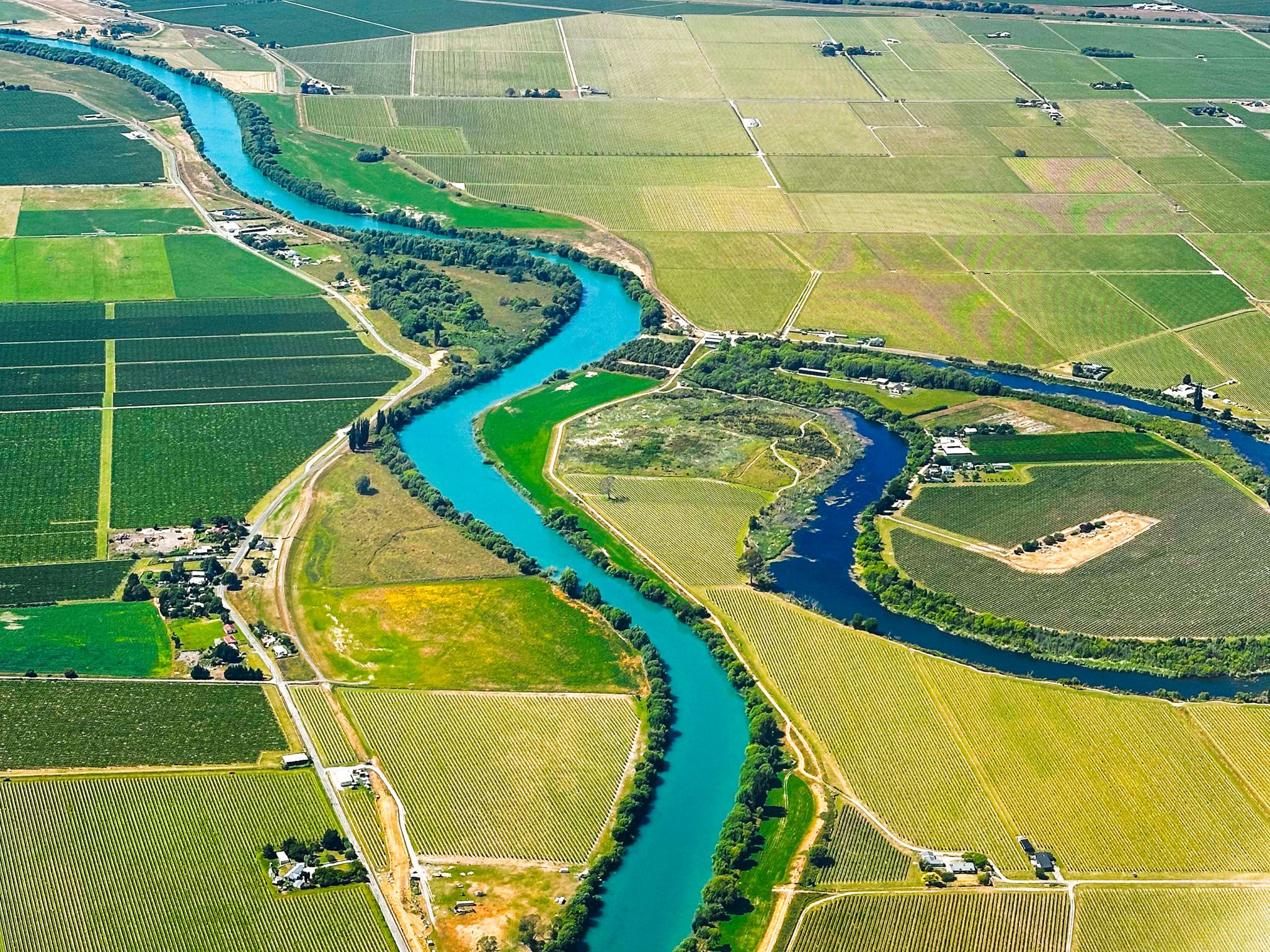
Fed by alpine meltwaters and tributaries, the Wairau River transforms into a significant braided river as it enters the Wairau Valley. Its gravel beds can span up to 2.5 km wide. Over time, the river has deposited gravel and silt terraces, forming the expansive Wairau Plain, known for its fertile viticultural soils. The river's sediment deposits have also shaped the Wairau Lagoons and surrounding marshlands.
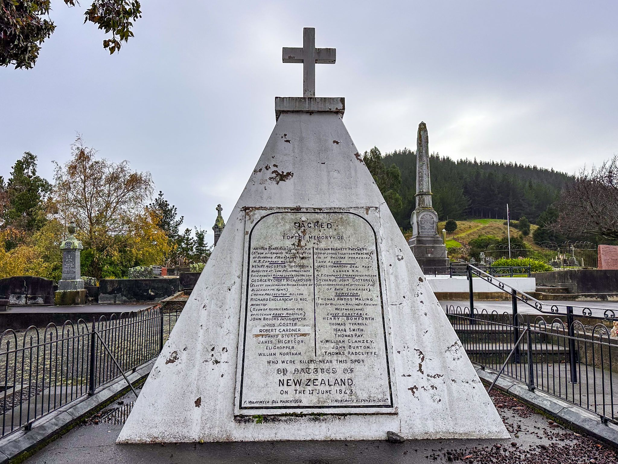
The Wairau Bar, located on the river's west side, is an archaeologically important site with some of the earliest known Māori settlements, dating back to around 1280. European settlers arrived in the 1840s, clearing land for pastoral farming, which has since been largely replaced by vineyards. Historically, the river was a vital transport route for both Māori and Europeans, with the river mouth navigable by boat at high tide until the 1960s.
Activities Along the Wairau River
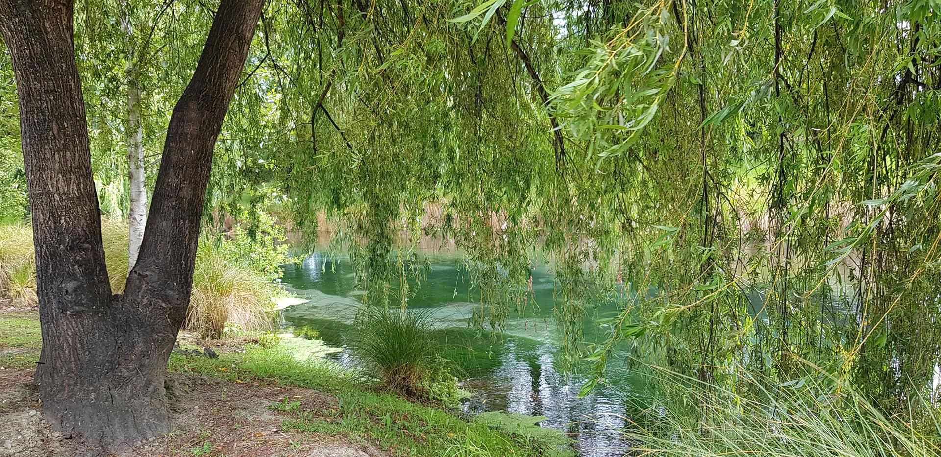
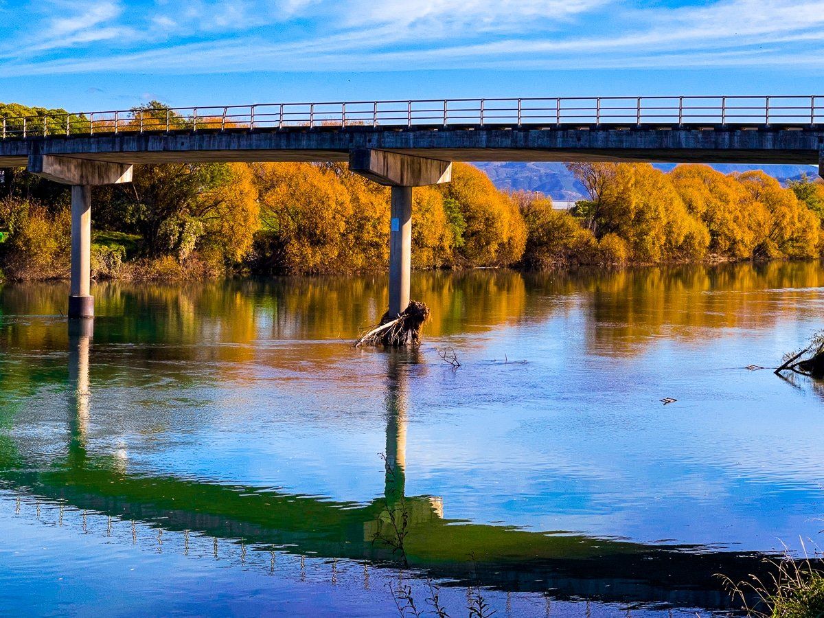
The Wairau River provides numerous opportunities for outdoor activities. Scenic walks, picnic spots, and fishing are popular pursuits. One notable walk is the Bothams Bend Track, accessible from the bridge behind Spring Creek, just north of Blenheim. This 1.5 km track offers views of the river's braided channels, birdlife, and open floodplains. Nearby, the Wairau Diversion, a man-made channel, features a public reserve and directs river water to Cloudy Bay during high-water events. A short distance from there, you can also check out Marshlands and the remains of a flax mill.
Further downstream, Wairau Bar Road leads to the Wairau Bar and river mouth at Cloudy Bay, where a public reserve and the wreck of the SS Kennedy can be seen. The lagoons and marshlands on the opposite side are accessible via Harding's Road, with the Wairau Lagoon Walkway loop leading to the wreck of the Waverley.
Scenic Drives and River Views
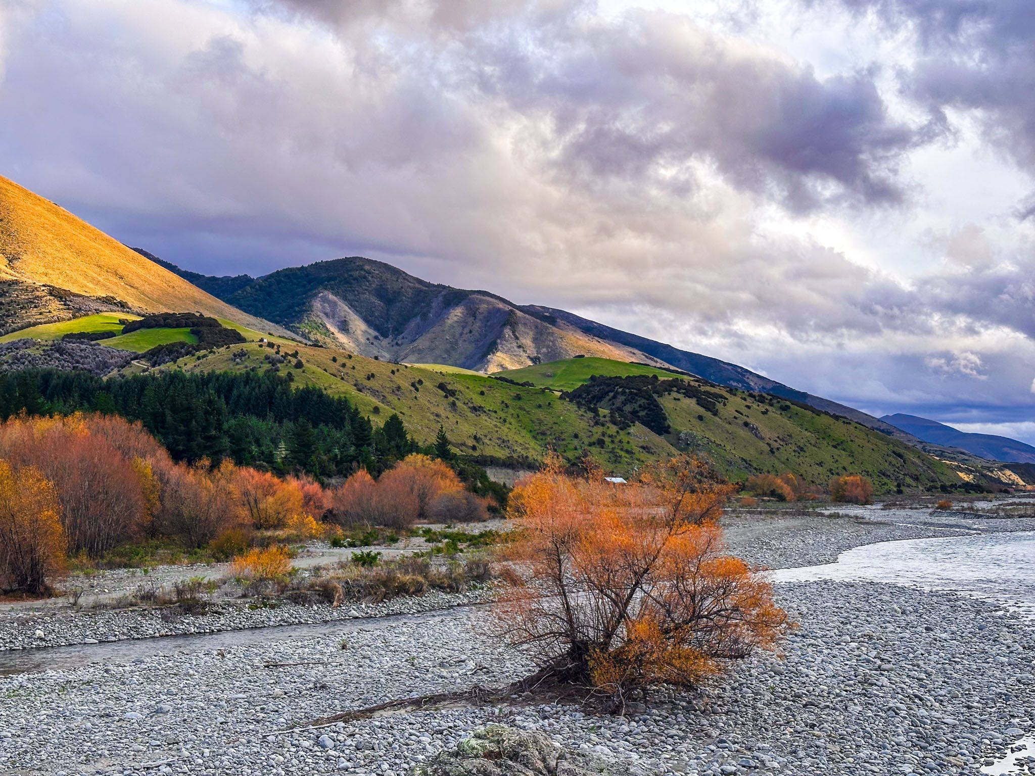
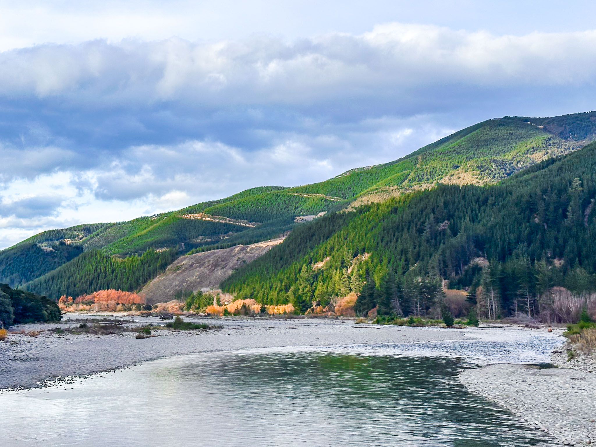
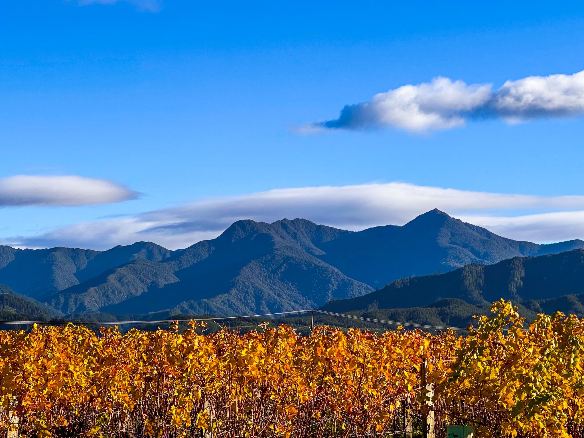
From Blenheim, State Highway 63 runs southwest into the Wairau Valley, paralleling the river in some areas. Although access points are limited, the valley provides scenic views. Two bridges also provide river views: one on State Highway 6, north of Renwick, and the Wash Bridge, 90 km southwest. For better river views, Northbank Road, accessed just north of the State Highway 6 bridge, is close to the river and to tracks in the Richmond Range, including the Enchanted Lookout.
For a more adventurous route, continue along State Highway 63 into the Wairau Gorge via Rainbow Road. This remote gravel road, which becomes a 4WD track with a toll gate, is a four-hour drive to Hanmer Springs.
Getting to the Wairau River
To reach the Wairau River from Blenheim, you can head southwest along State Highway 63, with the option of crossing the river on State Highway 6, then heading south on Northbank Road. This takes 30 minutes to an hour, depending on your route choice. Alternatively, take State Highway 1 towards Picton, then turn off onto Ferry Road at Spring Creek. This provides access to Bothams Corner, the Wairau Bar, and the river mouth.