Exploring Wairepo Arm
Wairepo Arm is a feature of the man-made Lake Ruataniwha, located on the east side of State Highway 8 in the Mackenzie Basin of the South Island. This lake plays a crucial role in the region's hydropower scheme, connecting to Lake Benmore through a canal at its northern end.
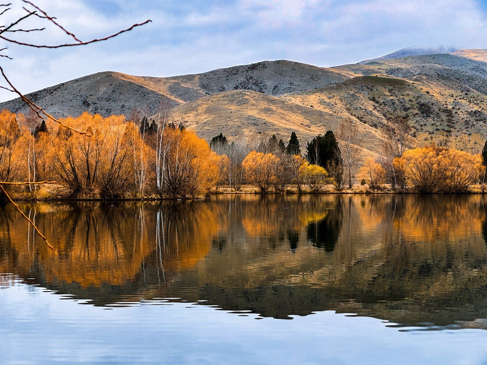
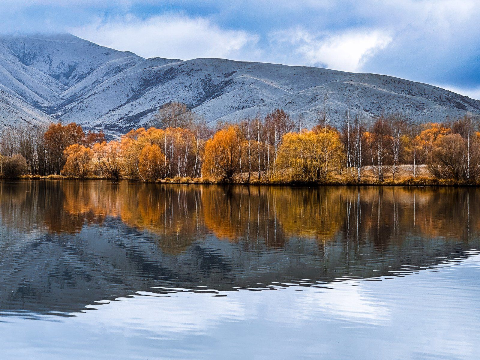
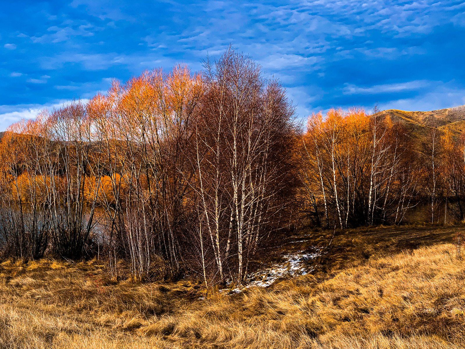
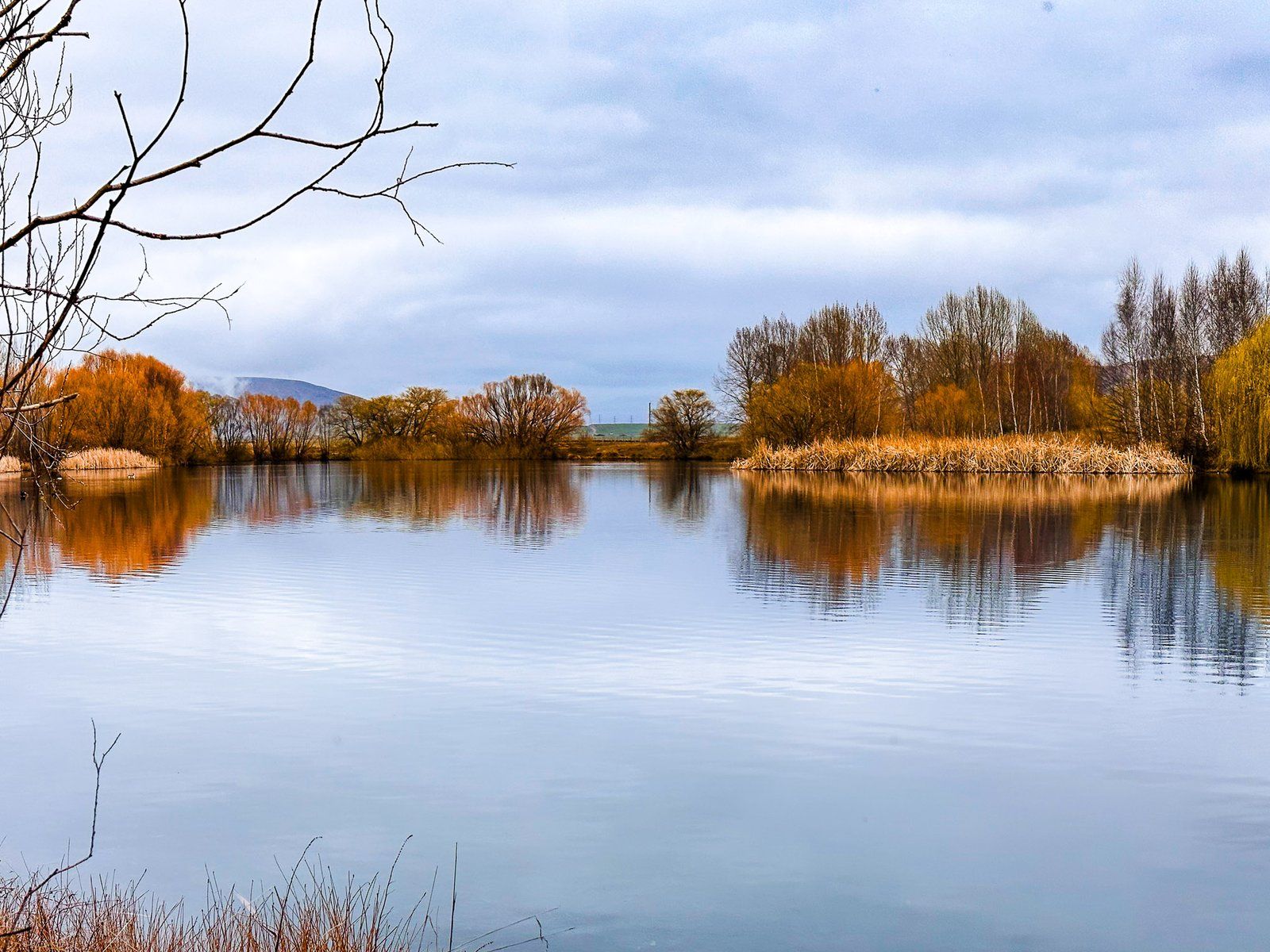
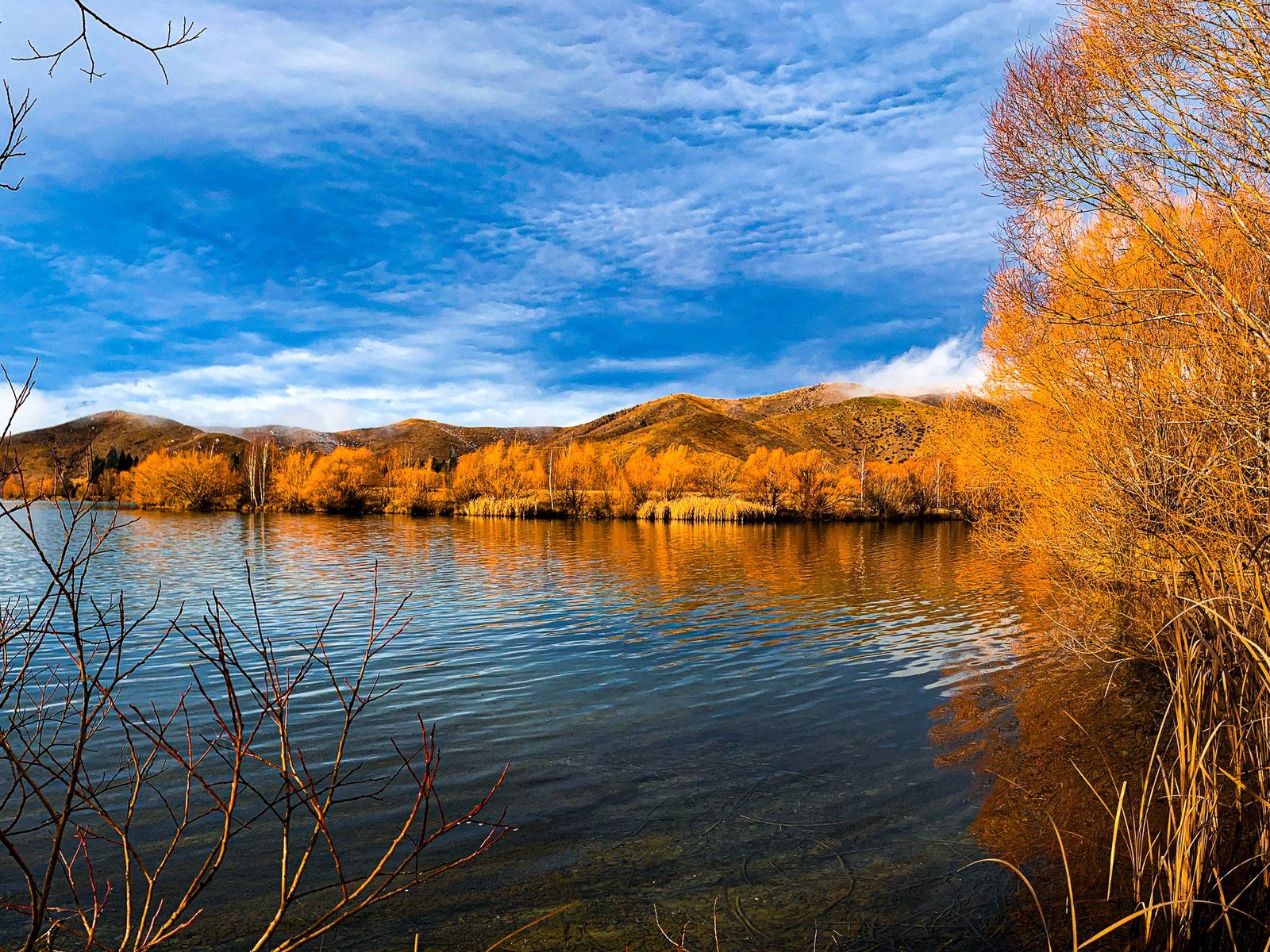
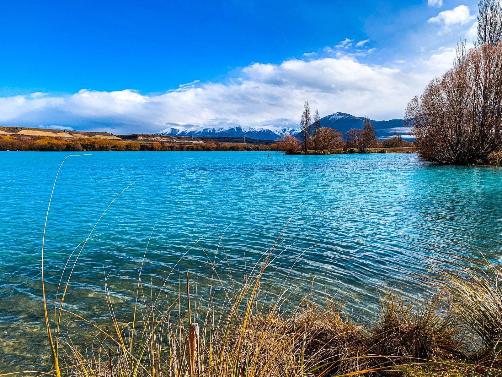
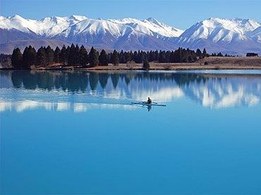
Named after a stream from the Barrier Range near Lake Ōhau, Wairepo Arm is a peaceful, more secluded part of the lake with willow-lined shores. The willows range from green through Spring and Summer, to gold in Autumn, then vivid orange in Winter. Wairepo Arm is often calm enough to provide excellent reflections of the willows and Benmore Range.
Cross the Road to Kellands Pond
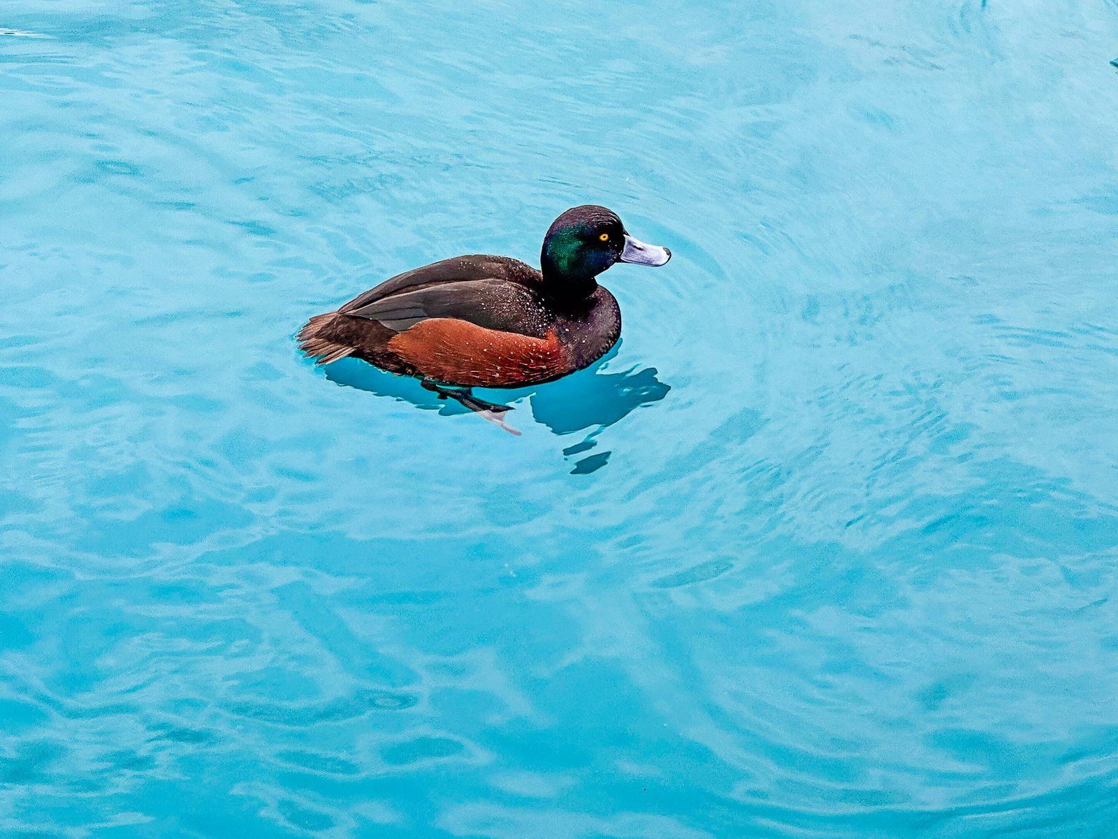
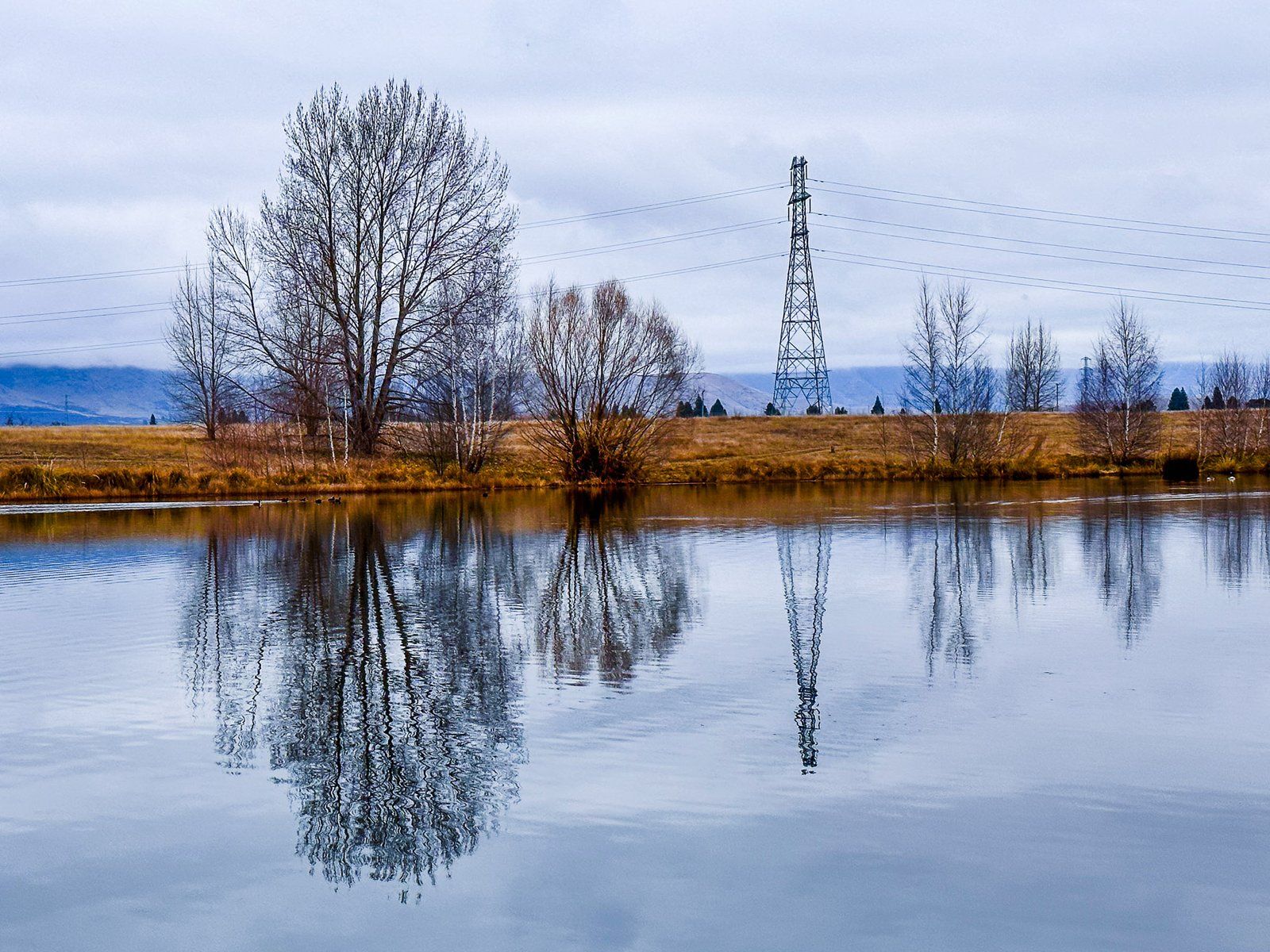
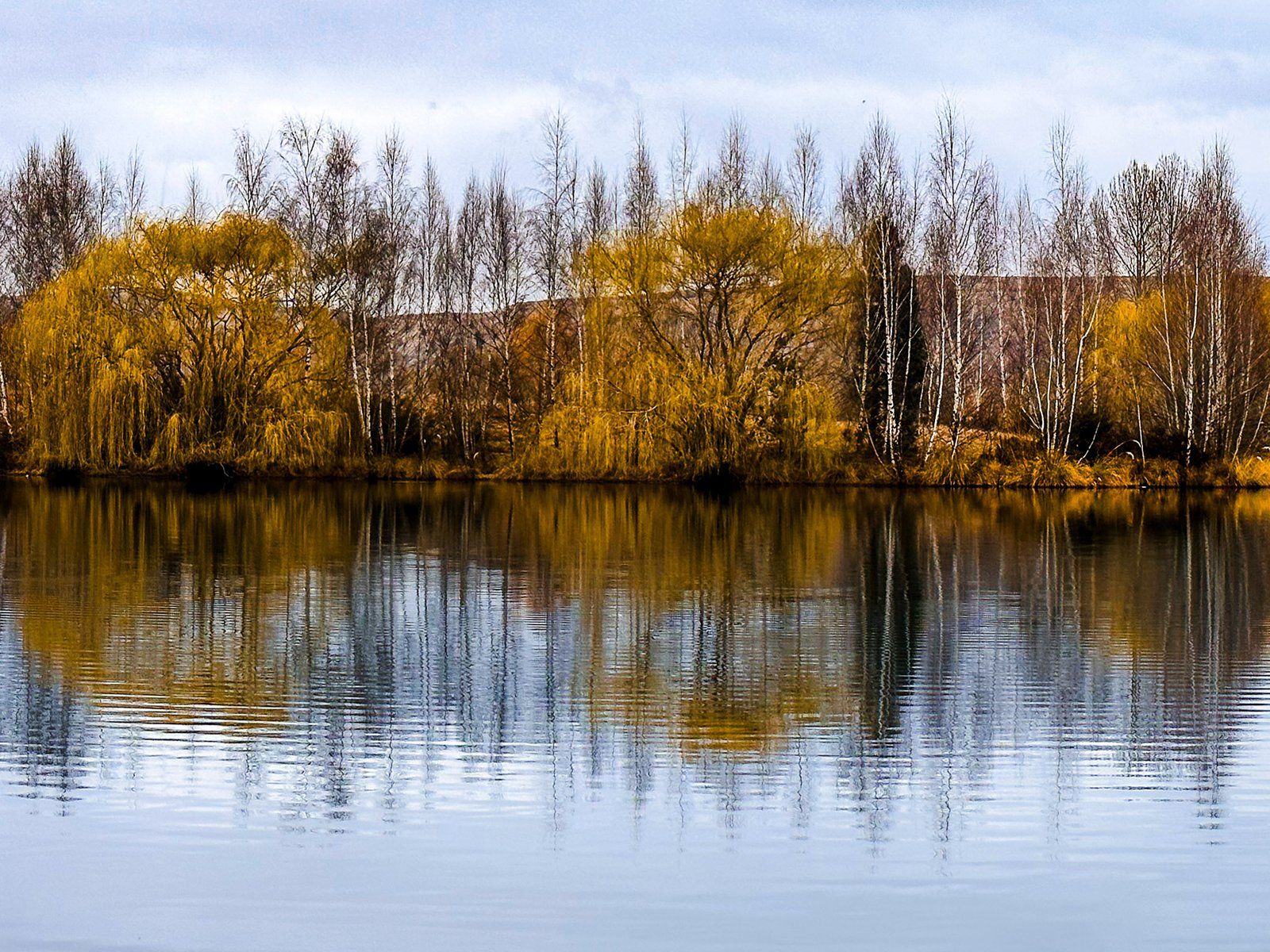
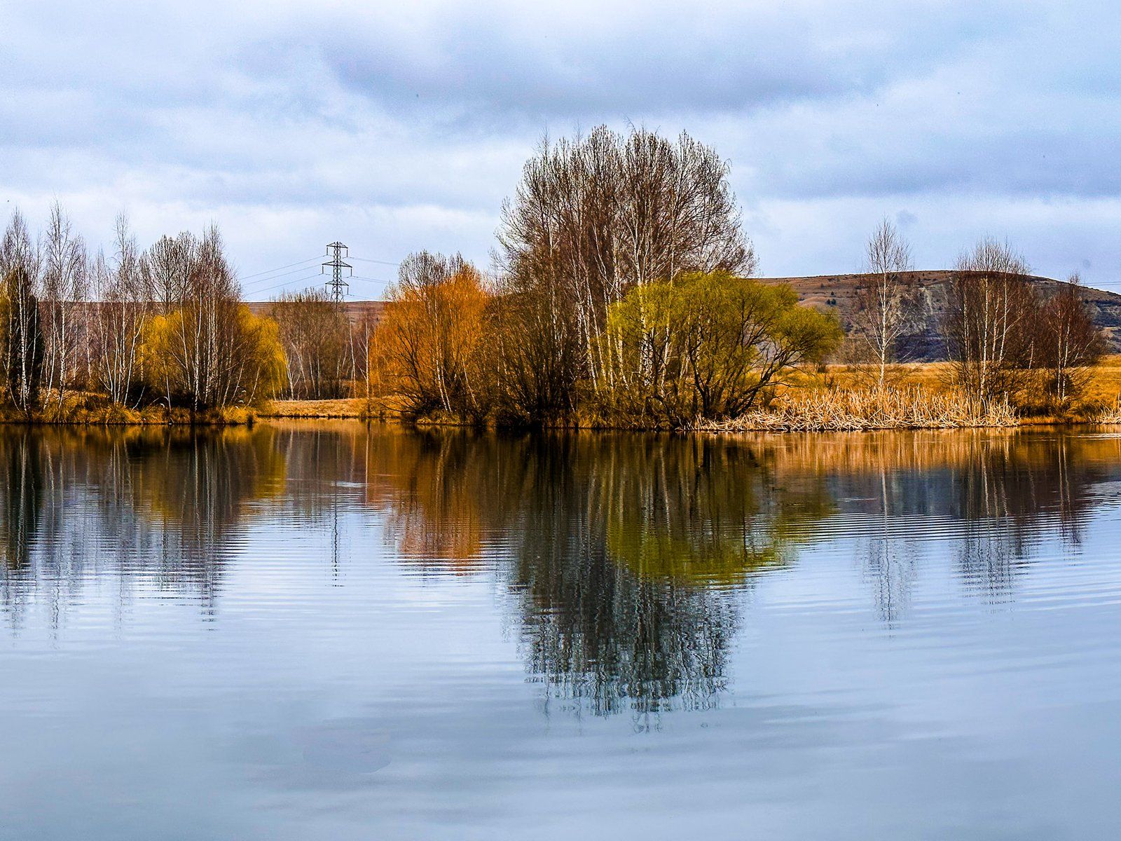
After viewing Wairepo Arm, carefully cross the highway to view Kellands Pond, a smaller but still significant area of water. The pond was created from landscaped gravel pits during the hydro‑electric works just to the north, where the highway crosses Lake Ruataniwha. It now supports wetland habitat and birdlife and is connected to the Wairepo Arm by a narrow water link.
Like Wairepo Arim, it can be a photographer’s delight in the right conditions.
Nearby Attractions
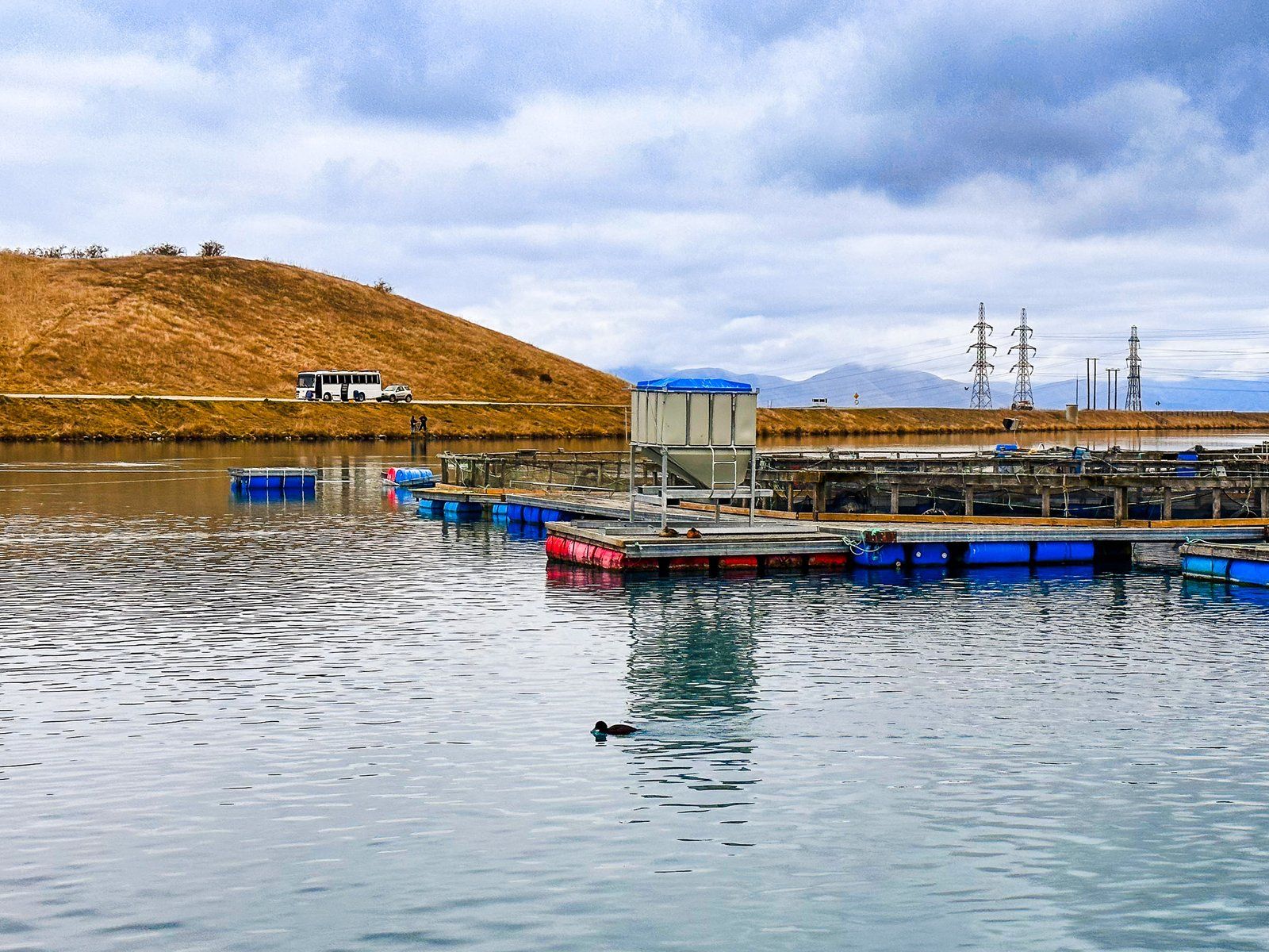
At the northern end of Wairepo Arm, you can visit High Country Salmon, a popular spot featuring a café and a working salmon farm. This is one of several salmon farms in the Mackenzie Country canals, offering insights into the local aquaculture industry. Additionally, a freedom campsite for campervans is located on the north side of the arm and canal, accessible from State Highway 8.
How to Get There
To reach Wairepo Arm and Kellands Pond, drive along State Highway 8, which runs along the lake's east side. The arm is located at the southern end of Lake Ruataniwha, with Kellands Pond on the opposite side of the highway. You can park safely on either side of the highway and take a short walk to the lake and pond.
You can fish for trout and salmon in the lake and the pond. Nearby, you can explore Lake Benmore, the Clay Cliffs, Ōhau Canal, Lake Ōhau and Twizel.