Gold History and Colours on the Arrow Gorge
Arrow Gorge, located on the edge of Arrowtown in Otago, is a dramatic section of the Arrow River valley where steep schist cliffs, golden trees, and relics of gold-mining history combine in a short but rewarding walk. This gorge offers some of the most striking Autumn scenery in Central Otago, when the deciduous trees blaze in golden colours. Just 20 minutes from Queenstown, the Arrow Gorge Track is ideal for anyone looking to pair natural beauty with a dose of history.
Rugged Scenery Along the Gorge
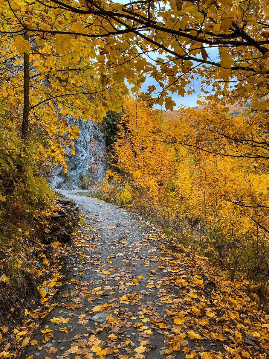
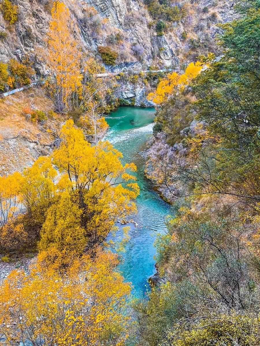
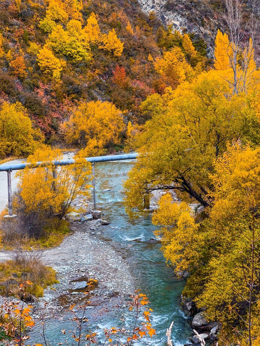
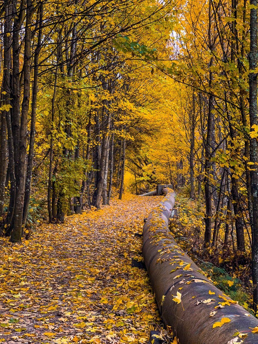
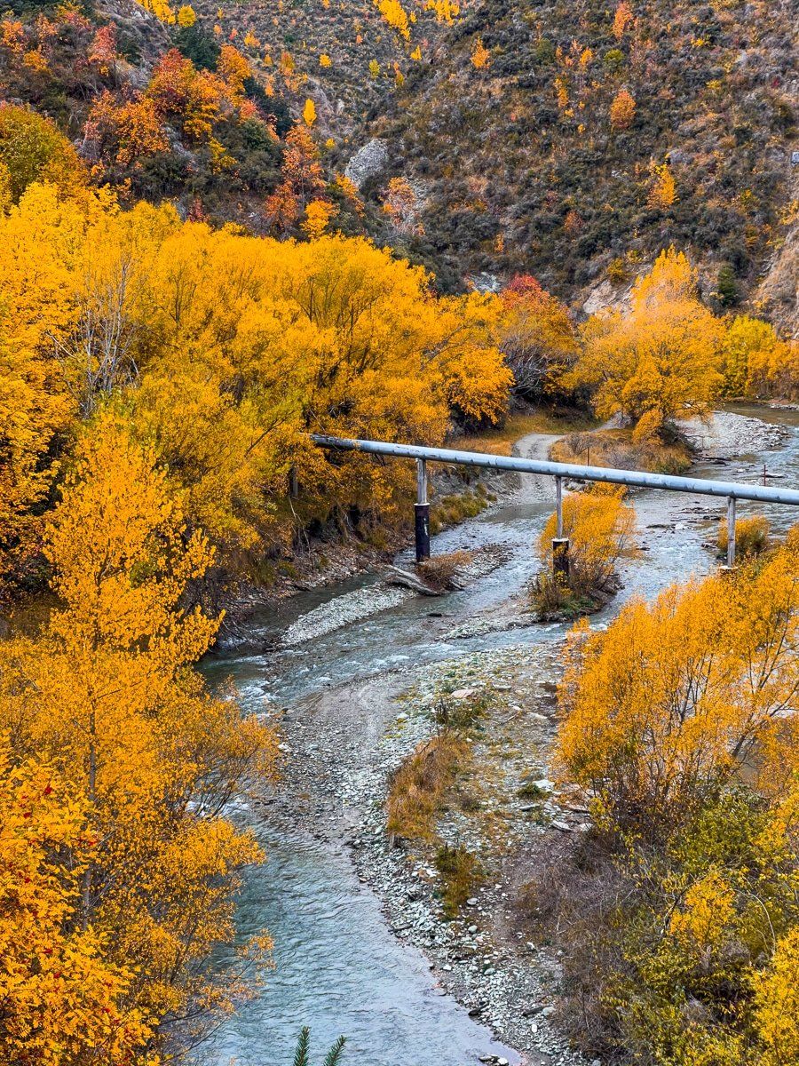
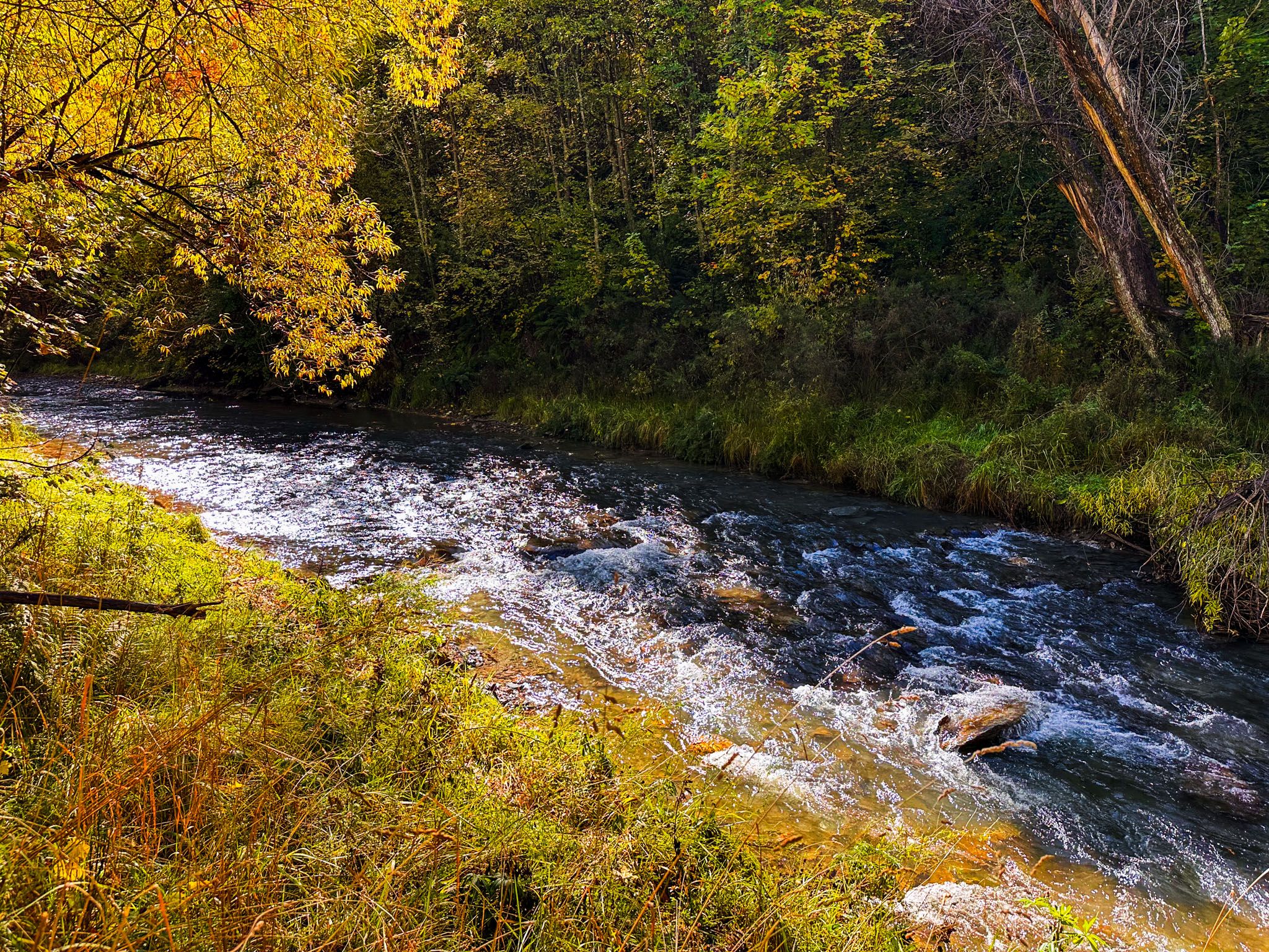
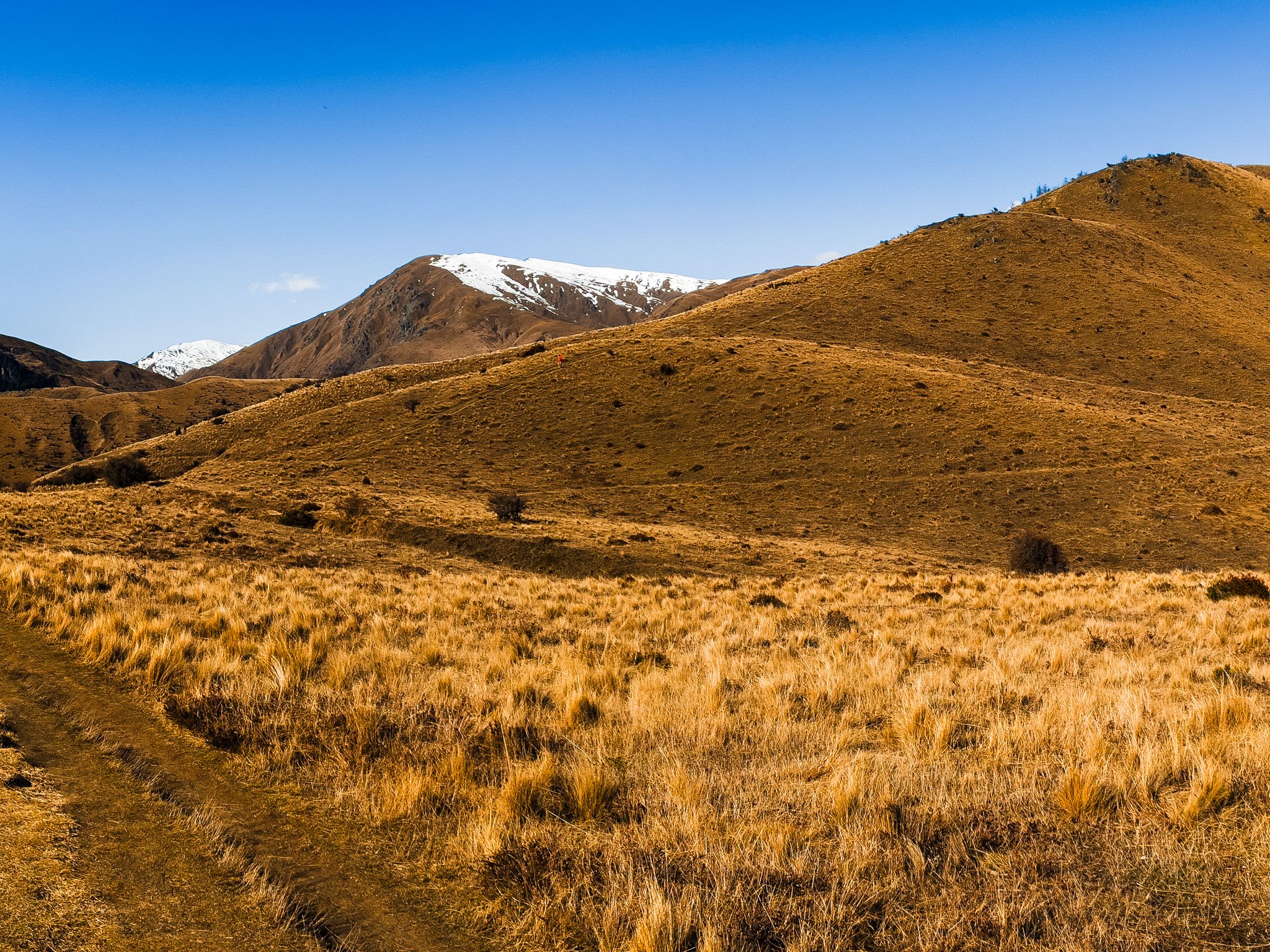
The Arrow Gorge Track begins near the northern edge of Arrowtown and follows a narrow route high above the river. In places, the trail climbs up to 40 metres above the Arrow River, providing expansive views of the rocky cliffs and the winding water below. The moderate exposure in this northern section adds a sense of drama, though the track is manageable for those who are comfortable on uneven ground.
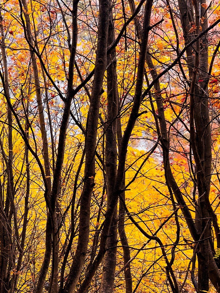
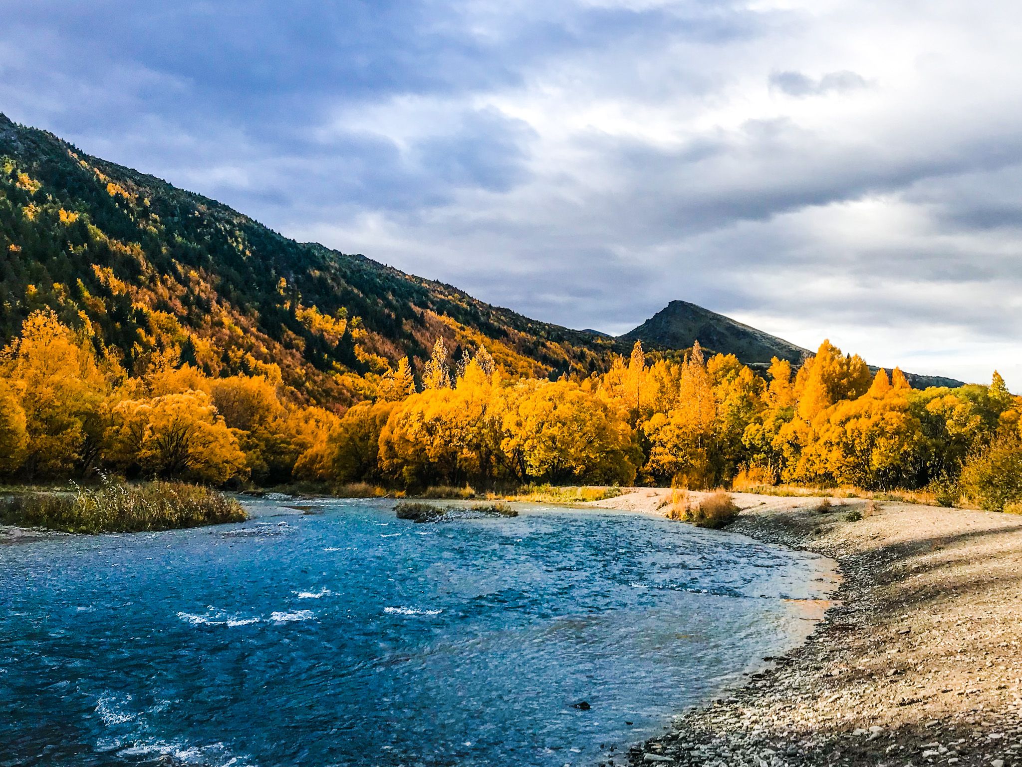
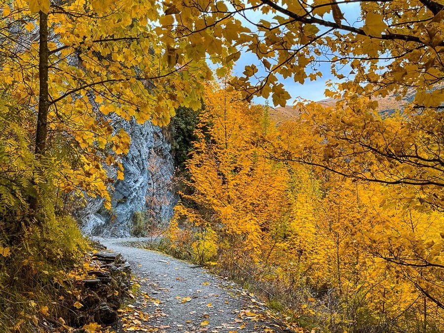
In Autumn, the gorge comes alive with colour as poplars, willows, and other exotic trees blaze gold and copper along the valley walls. The contrast with the dark schist cliffs and the olive green of native shrubs makes for unforgettable scenery, especially in the morning or late afternoon light. The gorge is equally atmospheric in Winter, when frost clings to bare branches and the river runs low and clear.
Track Highlights and Connections
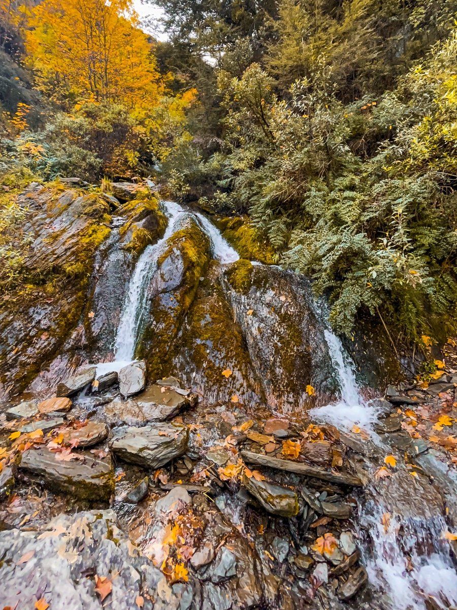
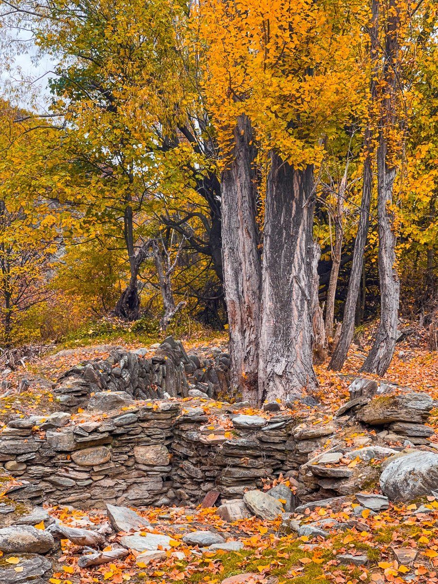
The walk along Arrow Gorge is more than a scenic outing. It also reveals remnants of the area's gold-rush past. Stone building ruins can be found beside the trail, hinting at the miners and settlers who once lived and worked in this narrow valley. At the northern end of the gorge, a small waterfall tumbles down from Sawpit Gully, adding both sound and movement to the landscape.
The track itself links with several other well-known local walks. At its northern end, it joins the New Chum Gully Track and Sawpit Gully Track. New Chum crosses a bridge over the Arrow River, then ascends steeply to follow New Chum Gully. Sawpit Gully is another ascent, though not quite as steep, up Sawpit Gully on the east side of German Hill. Both tracks provide excellent half-day loops back to Arrowtown, with varied terrain, gold-mining relics, and shaded river sections.
How to Get to Arrow Gorge
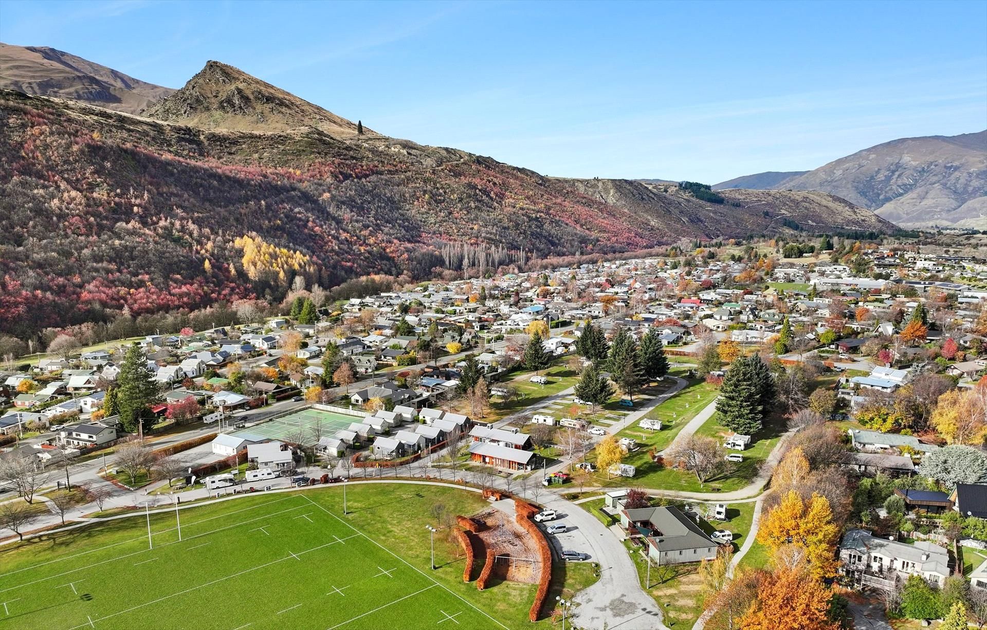
Arrowtown is located about 20 minutes (19.5 km) via Gorge Road from the northeast side of Queenstown, which becomes Arthurs Point Road, then Malghans Road heading east below Coronet Peak. Once in Arrowtown, turn north onto Berkshire Road, which takes you to the parking area between the town centre and the Arrow River, accessed on Ramshaw Lane. The Arrow Gorge Track is accessed by a footbridge near the west end of the car park.
Nearby places to visit include the Arrow River Trail, Lake Hayes with its chance of mirror-like reflections, the restored Arrowtown Chinese Settlement, and the hilltop views from Tobins Track.