Peaceful Hike on the Sawpit Gully Track
The Sawpit Gully Track near Arrowtown climbs through alpine tussock country to a windswept saddle, then descends a historic gold-mining gully where stone hut ruins and small waterfalls mark the route. This three-hour loop combines high-country views with gold rush heritage, following part of Te Araroa before returning through Arrow Gorge.
Climbing to the Saddle
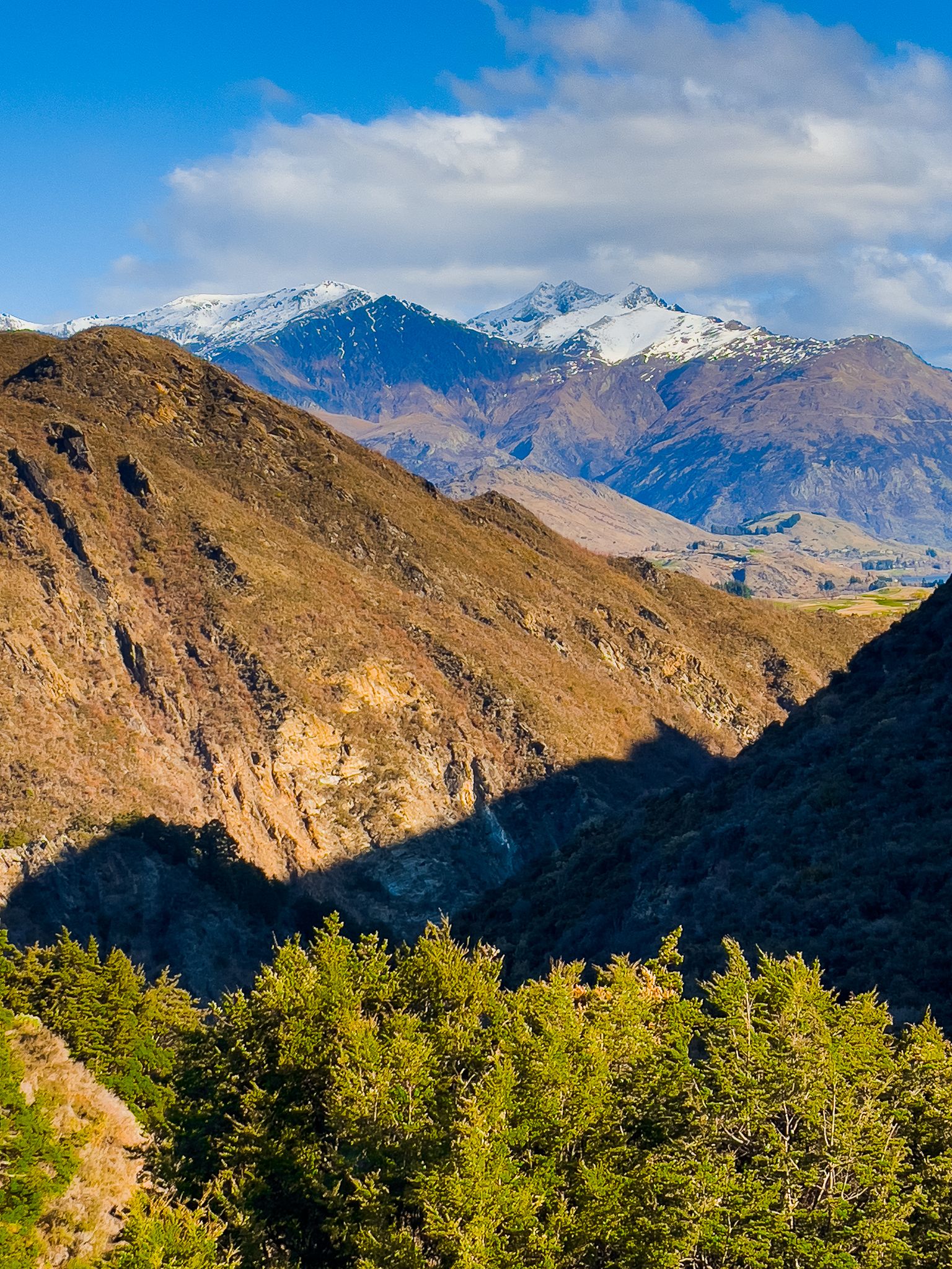
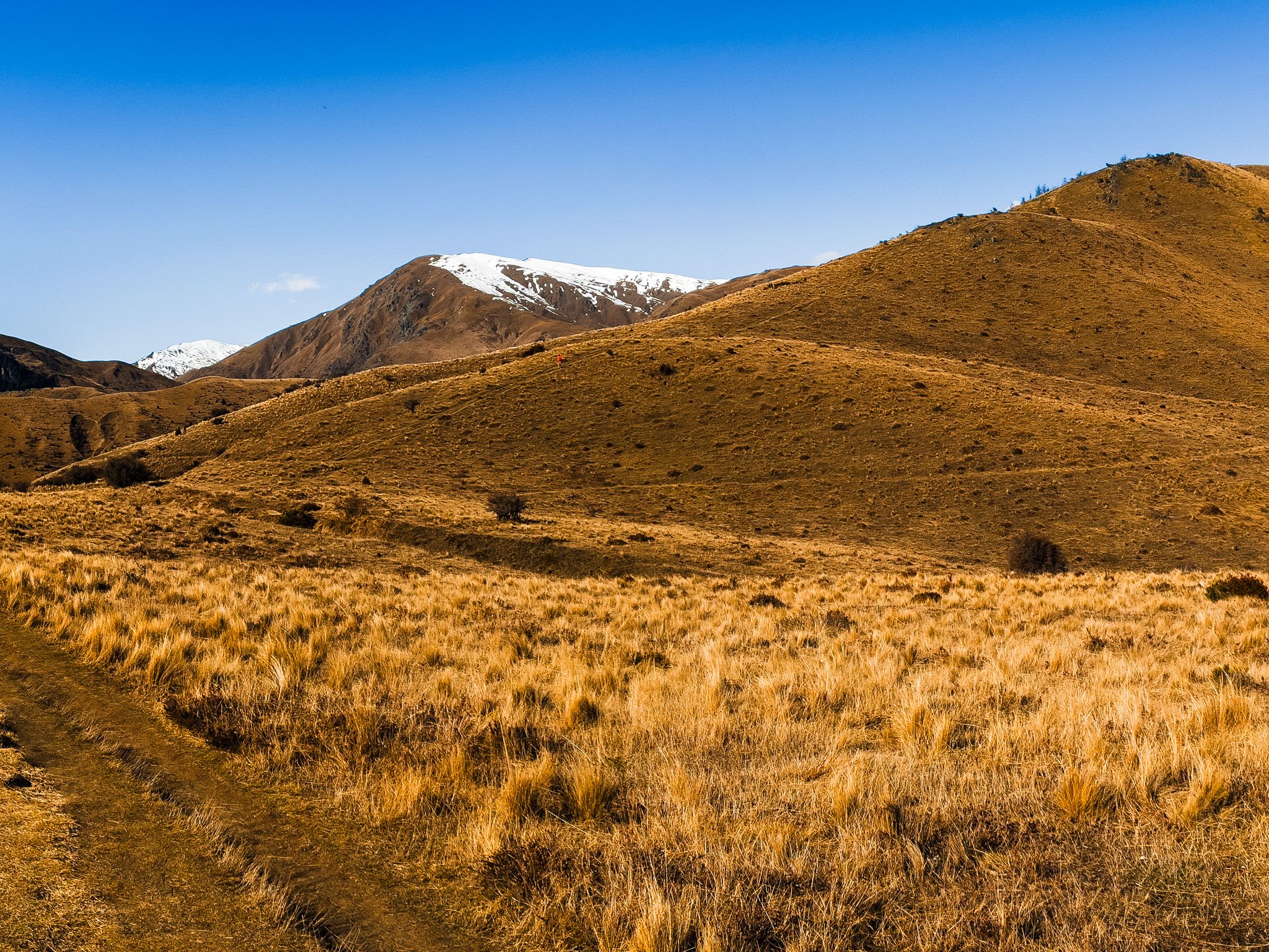
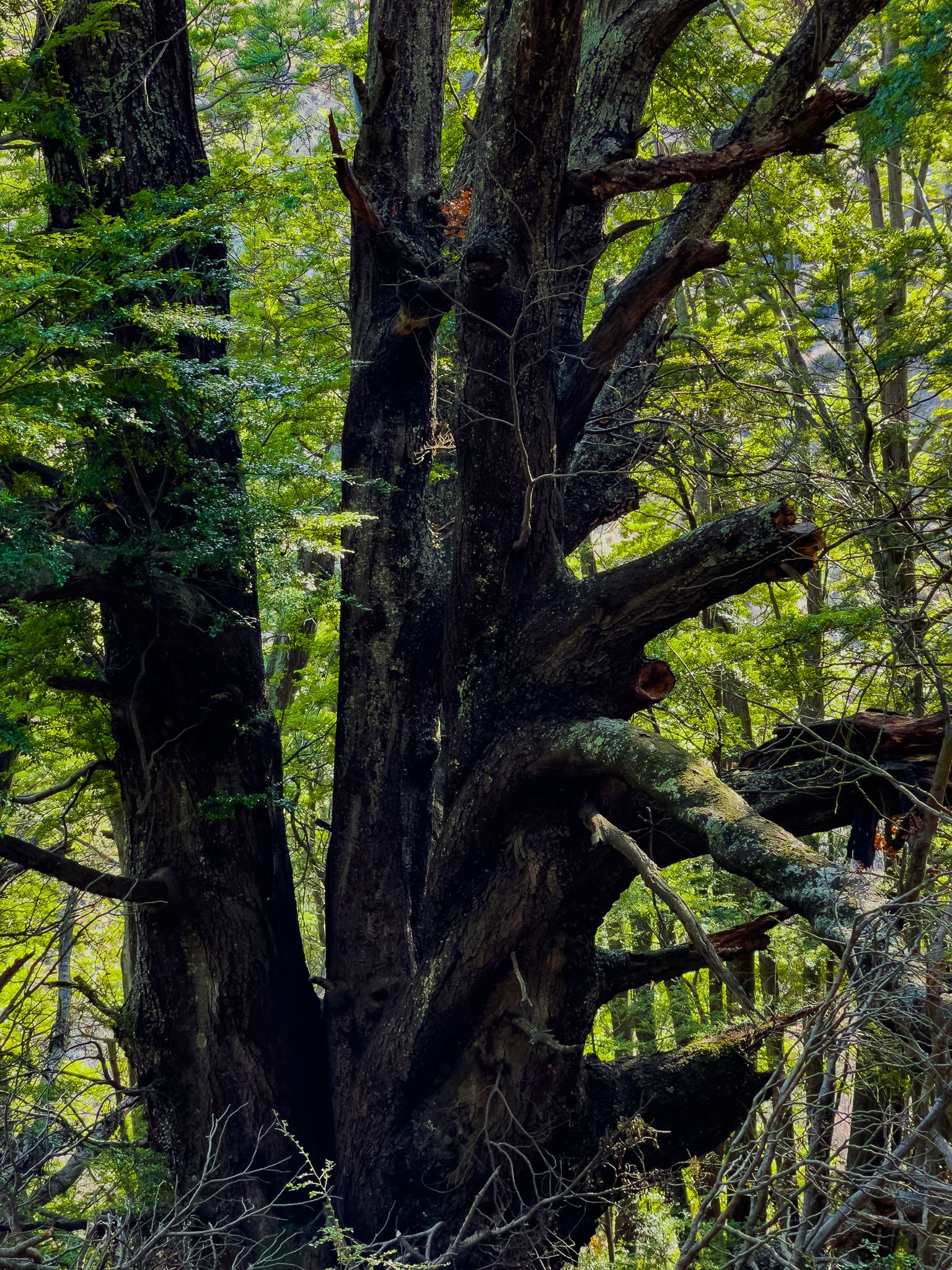
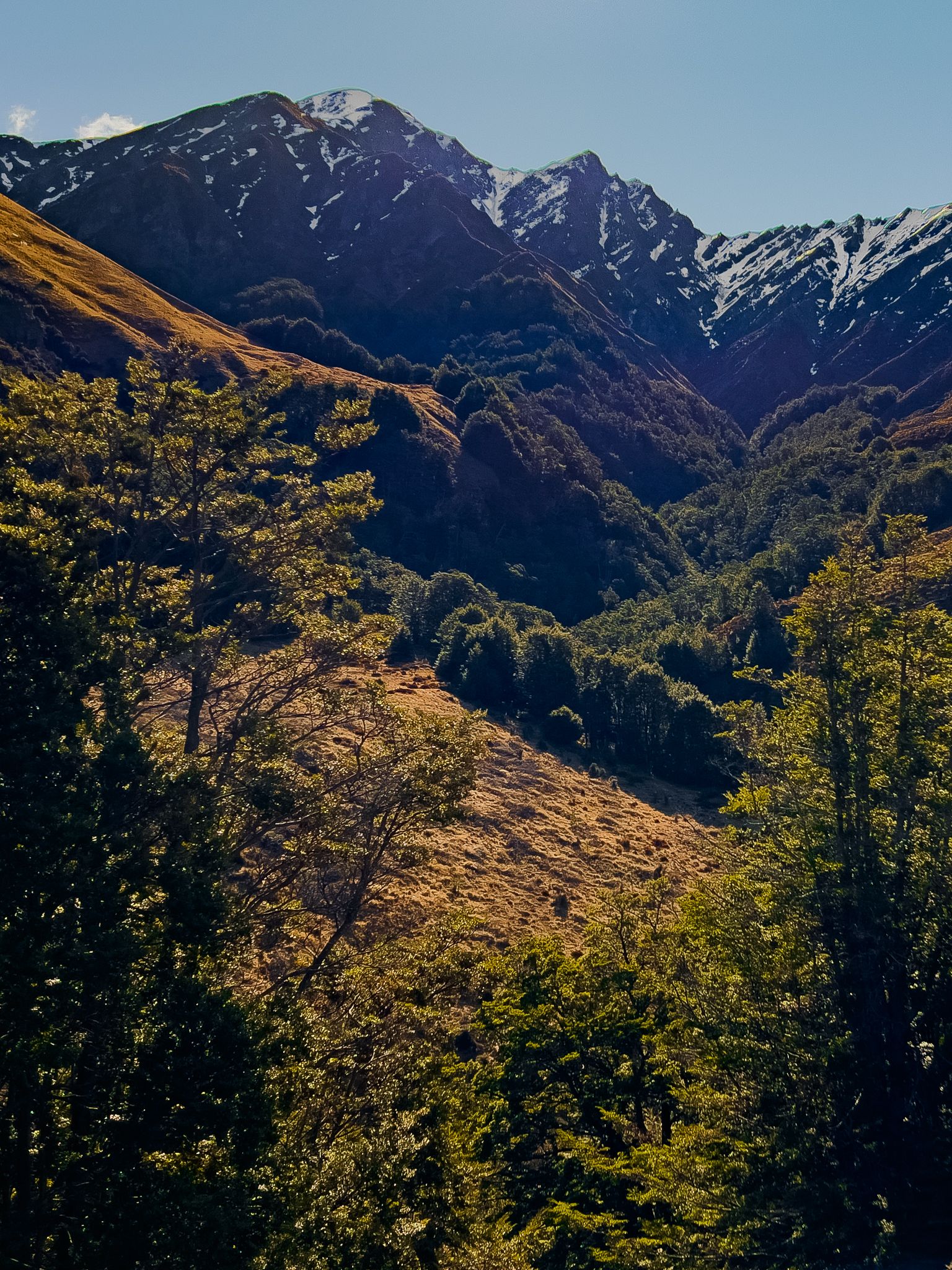
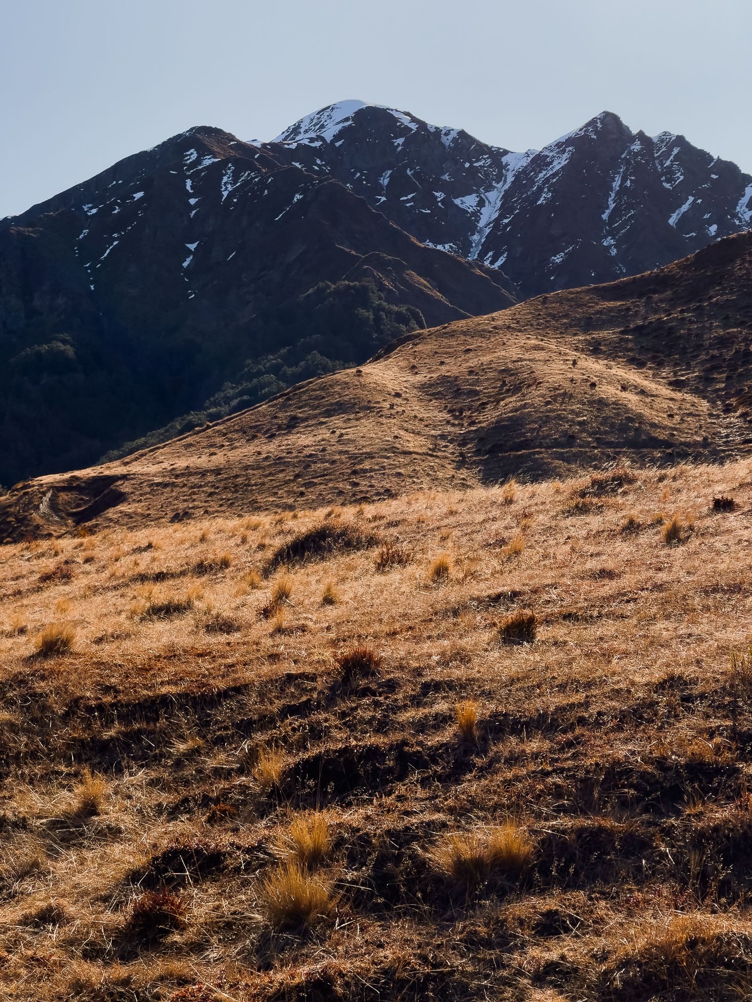
The track begins at the west end of the Arrowtown car park, just over the bridge. Following the clockwise route, you start on a 4WD track before turning onto a footpath that runs alongside a creek. The trail then climbs steeply for 200 vertical metres to reach the saddle between German Hill and Brow Peak. Near the top, you pass through a short section of native beech forest before emerging onto exposed alpine terrain.
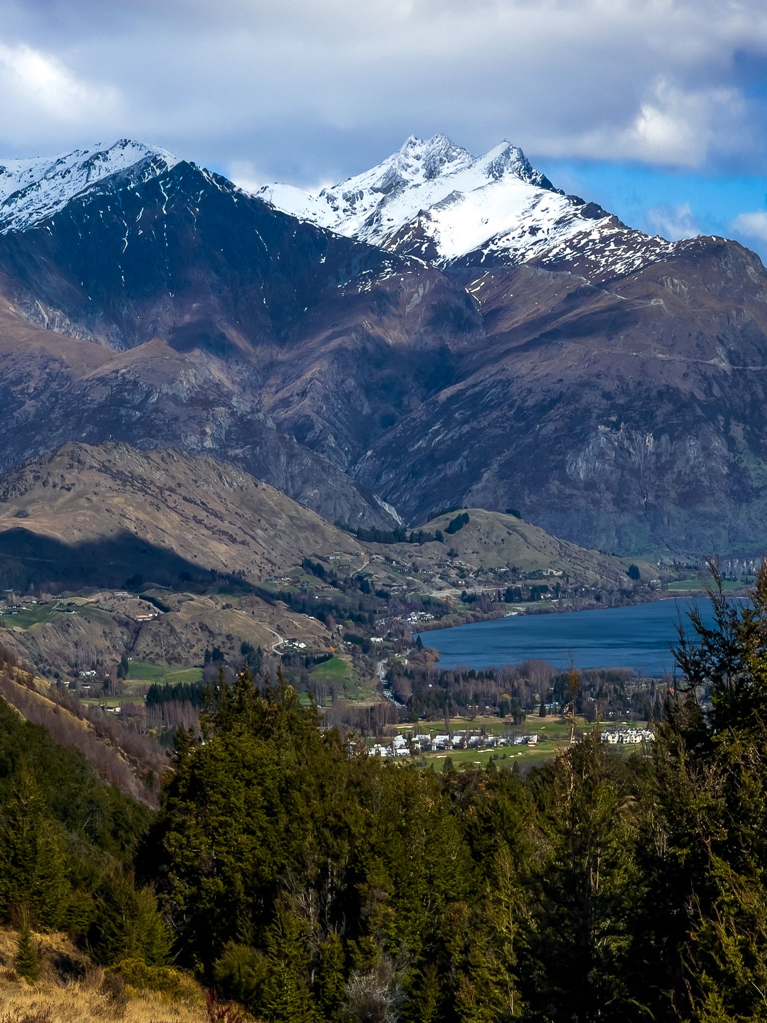
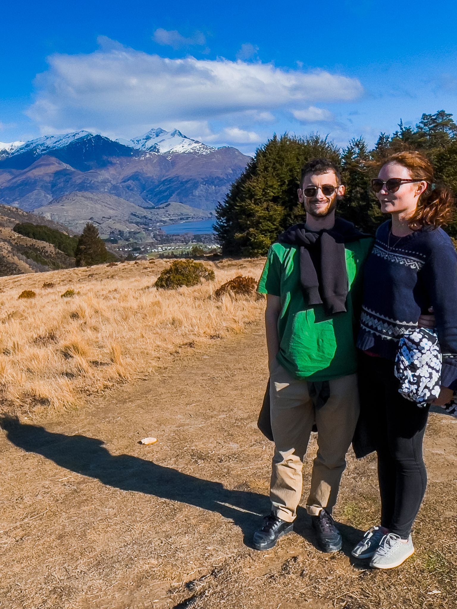
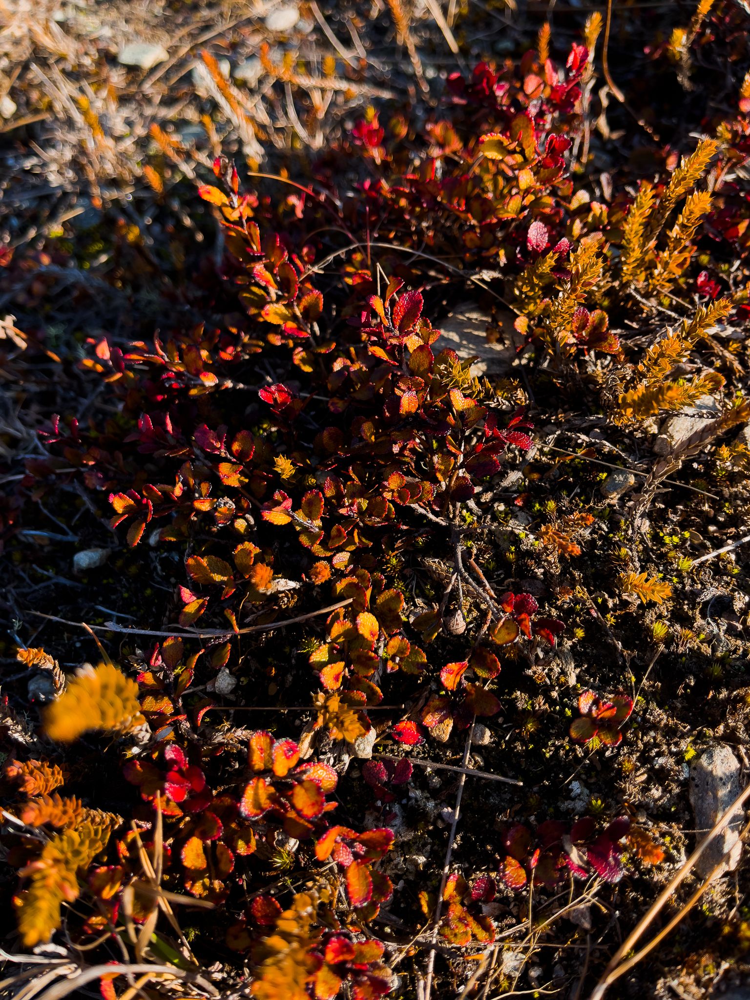
At 700 metres elevation, the saddle is dominated by golden tussock and hardy alpine plants adapted to the wind and exposure. Looking back during the ascent, the Remarkables mountain range fills the view, with the ski field access road visible on the slopes. From the saddle, you can extend your walk by climbing German Hill for an additional 60 vertical metres, or continue on the Big Hill Track toward Macetown and its backcountry campsite.
Hiking Down Sawpit Gully
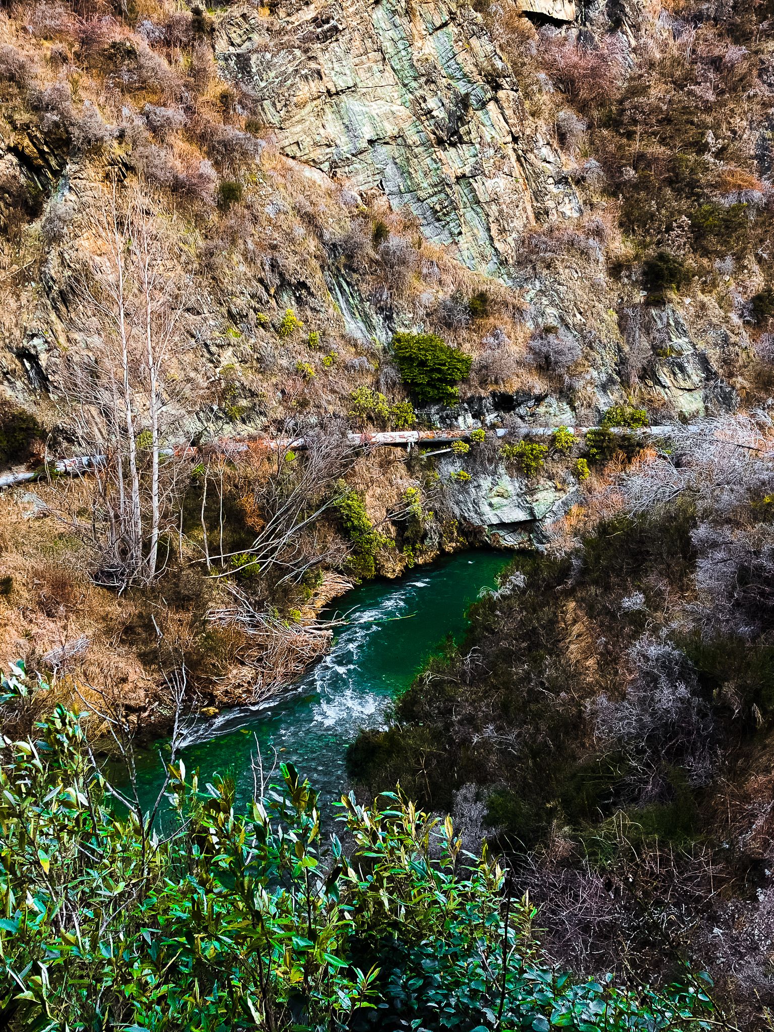
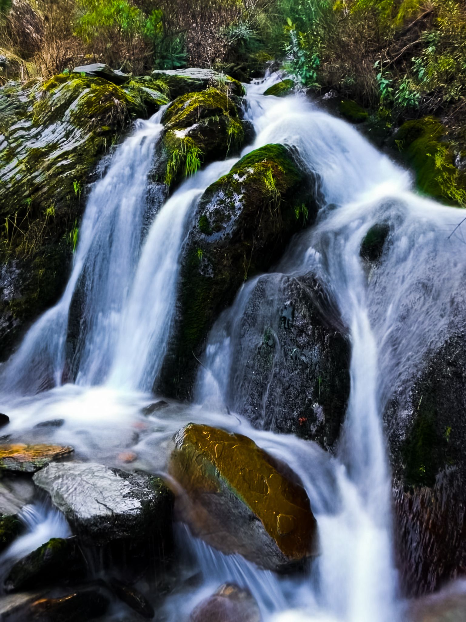
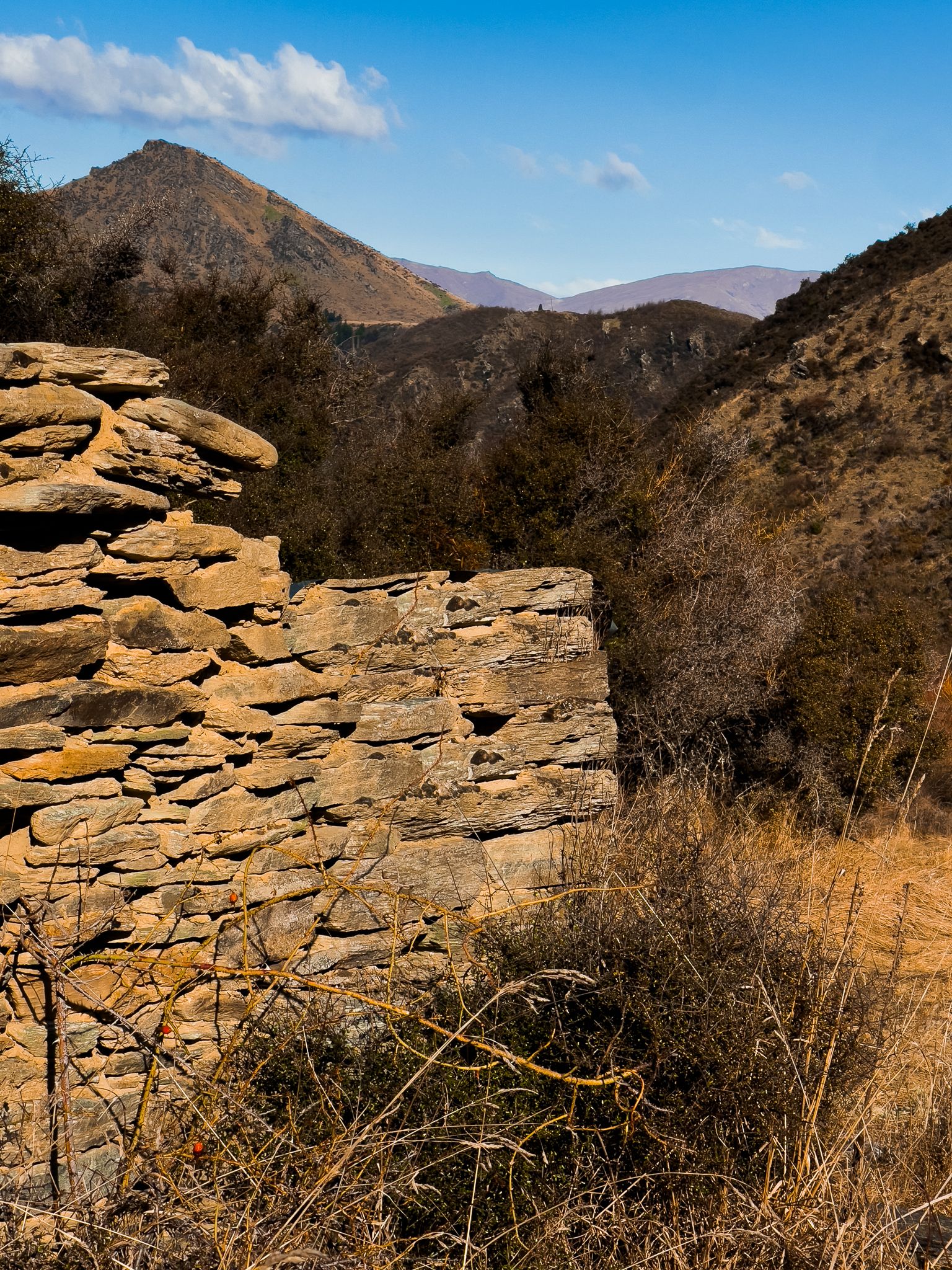
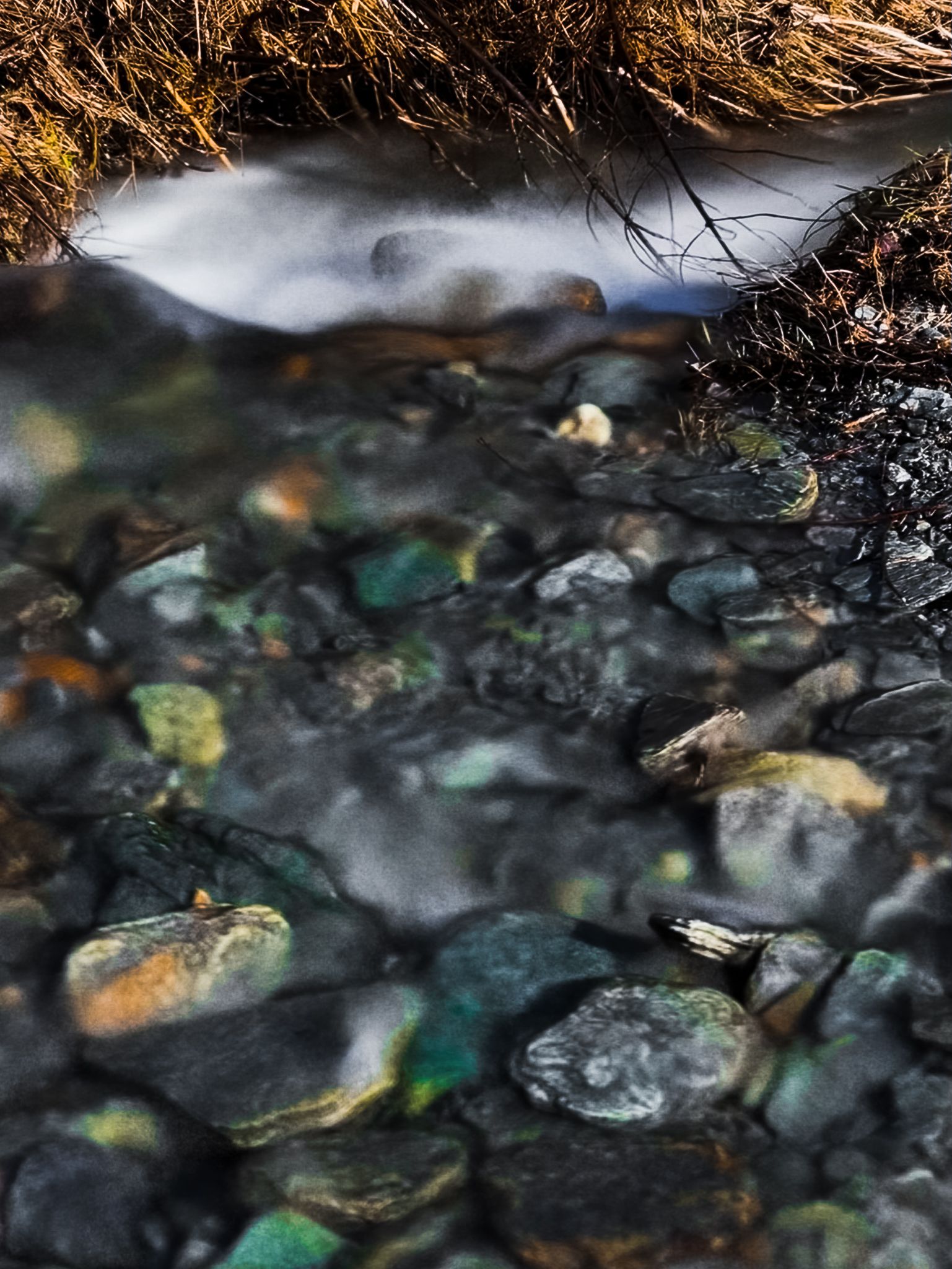
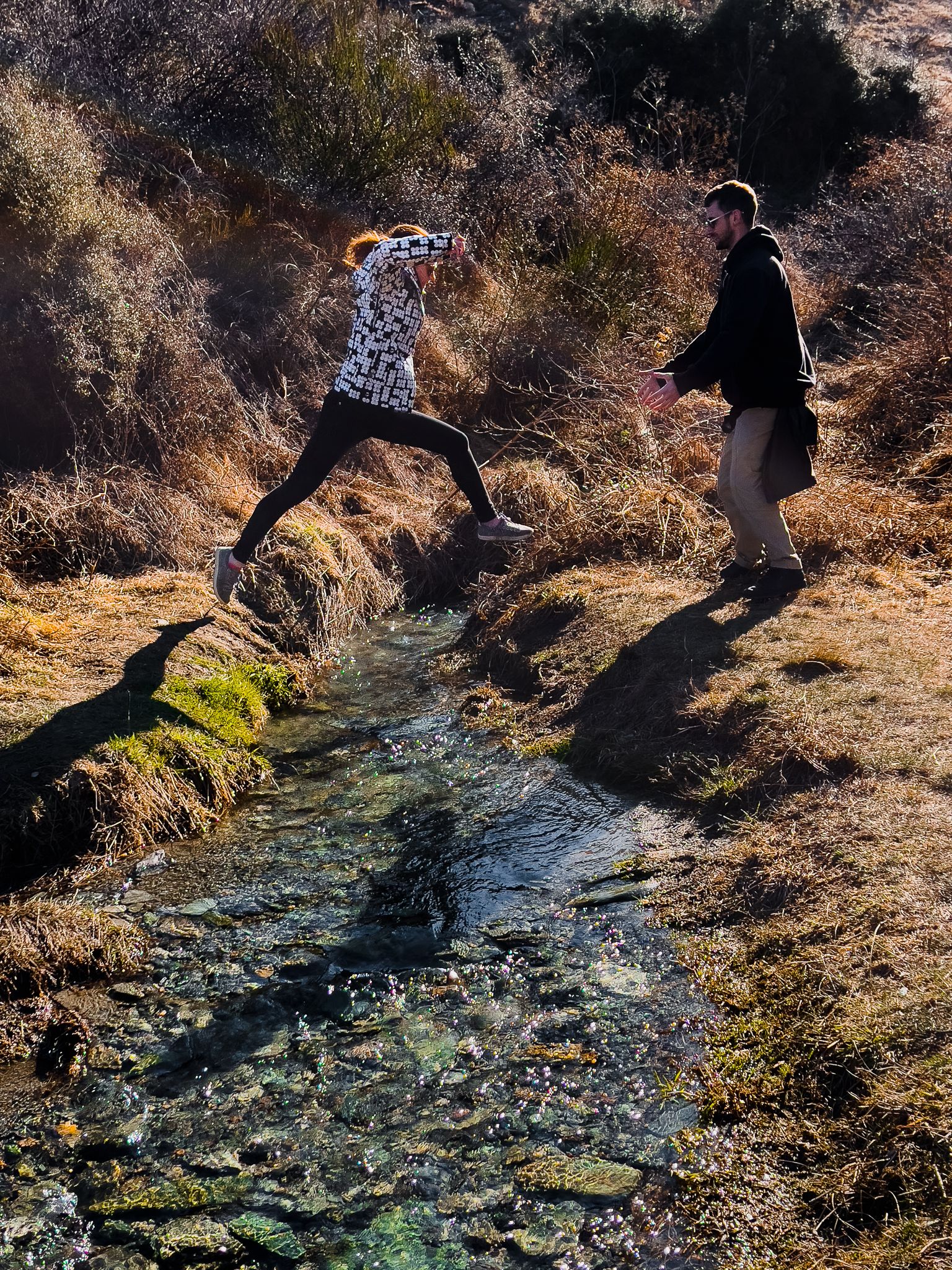
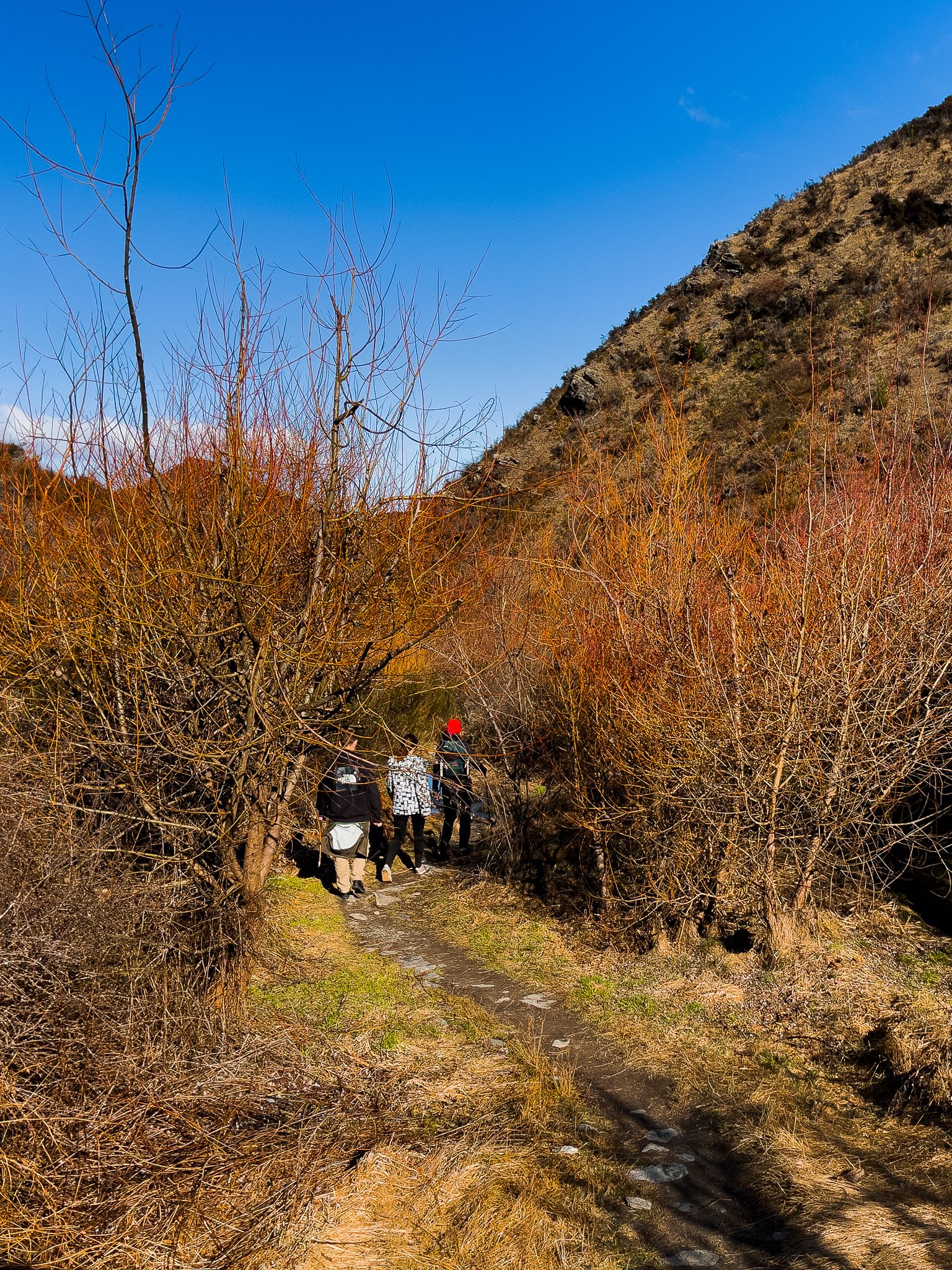
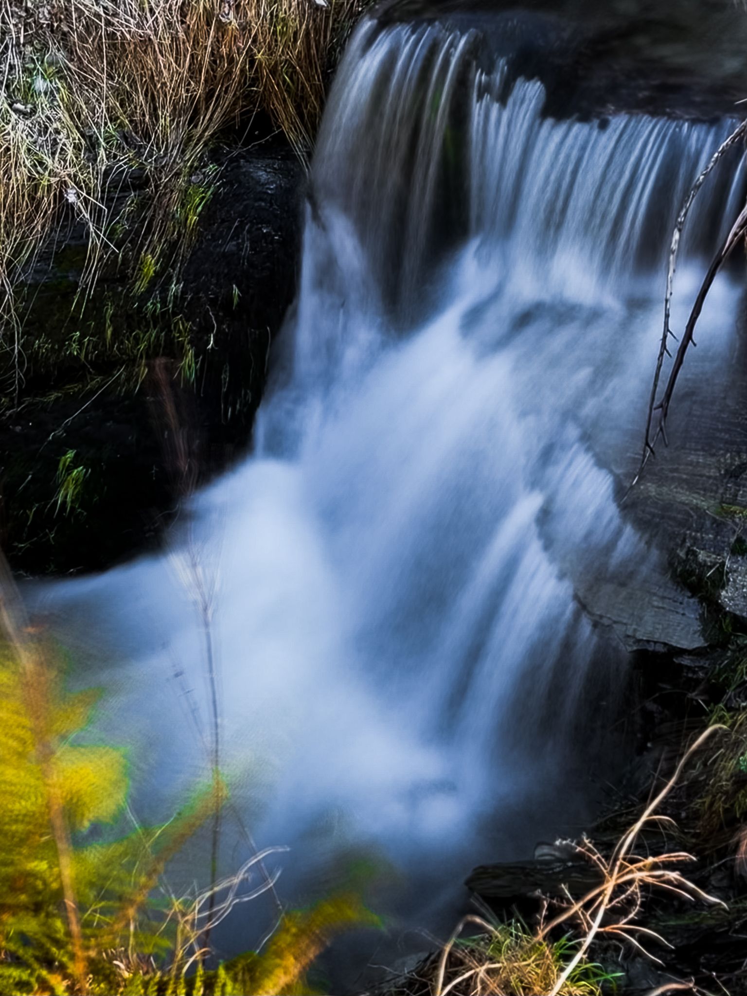
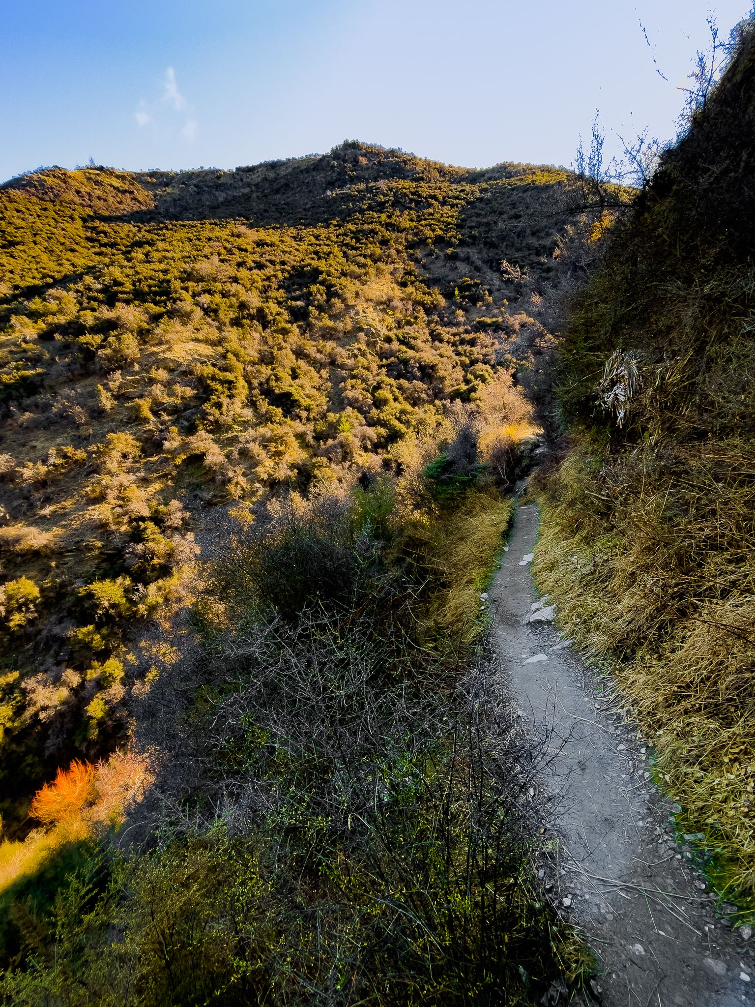
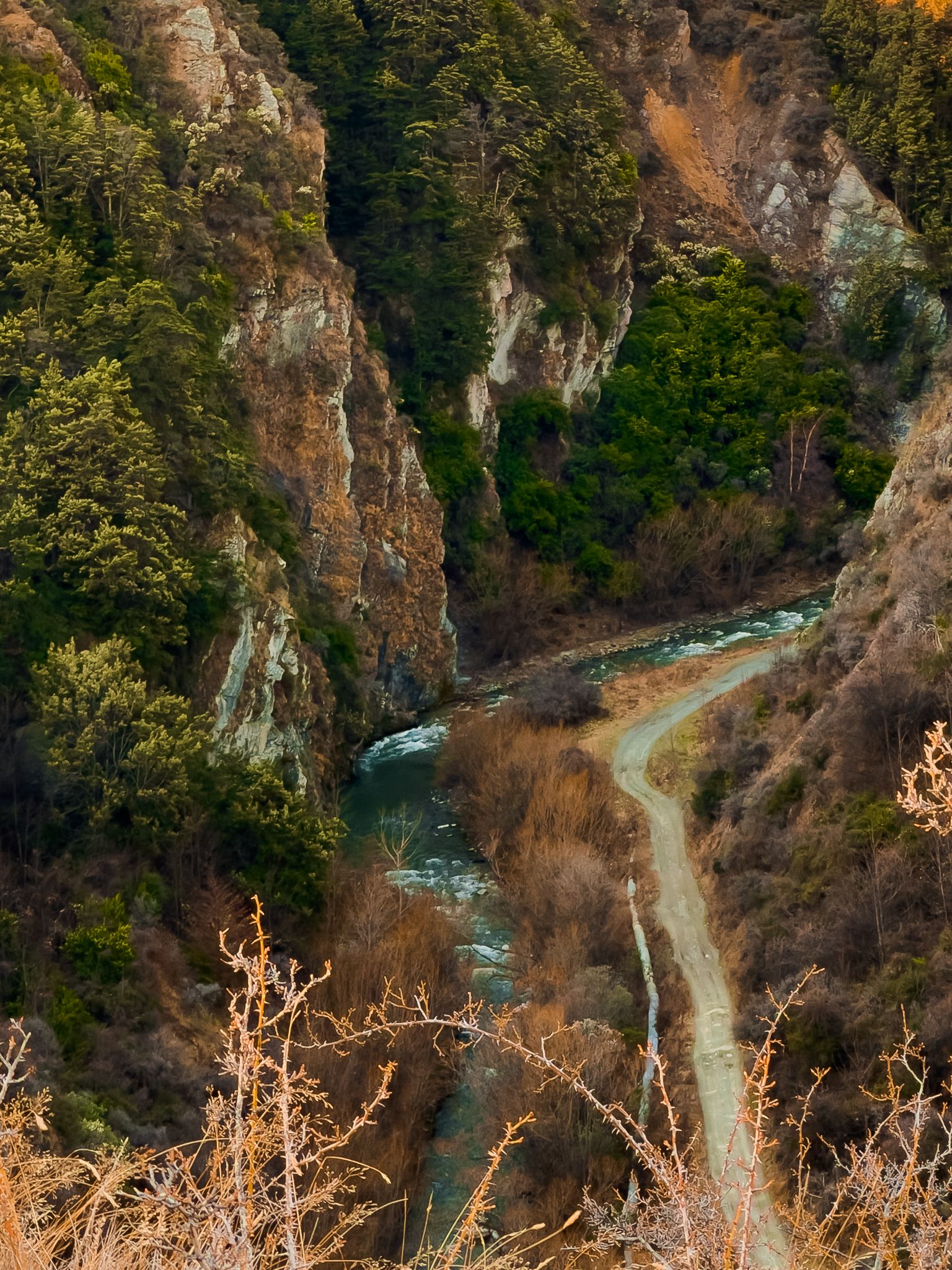
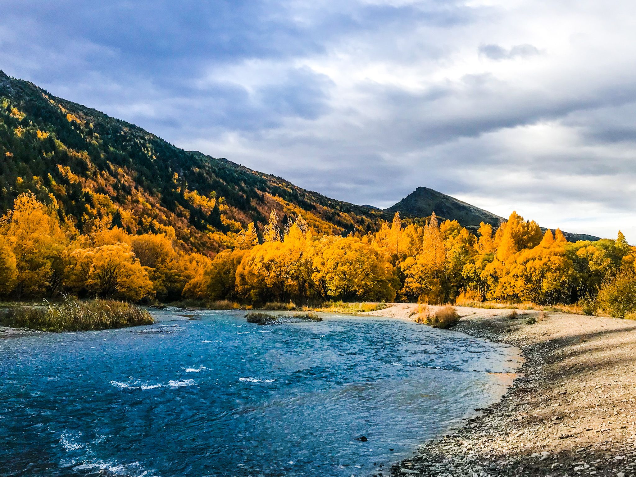
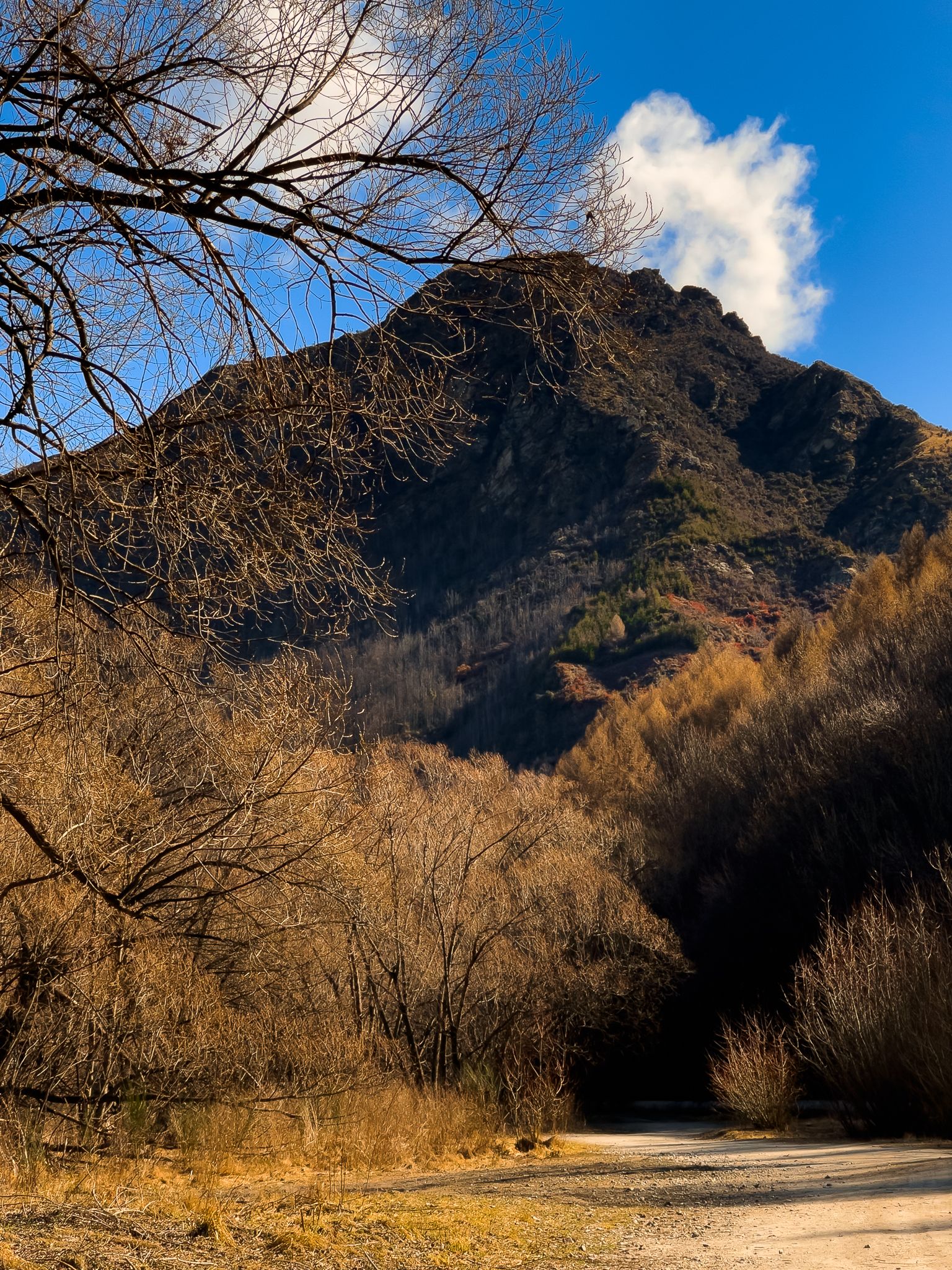
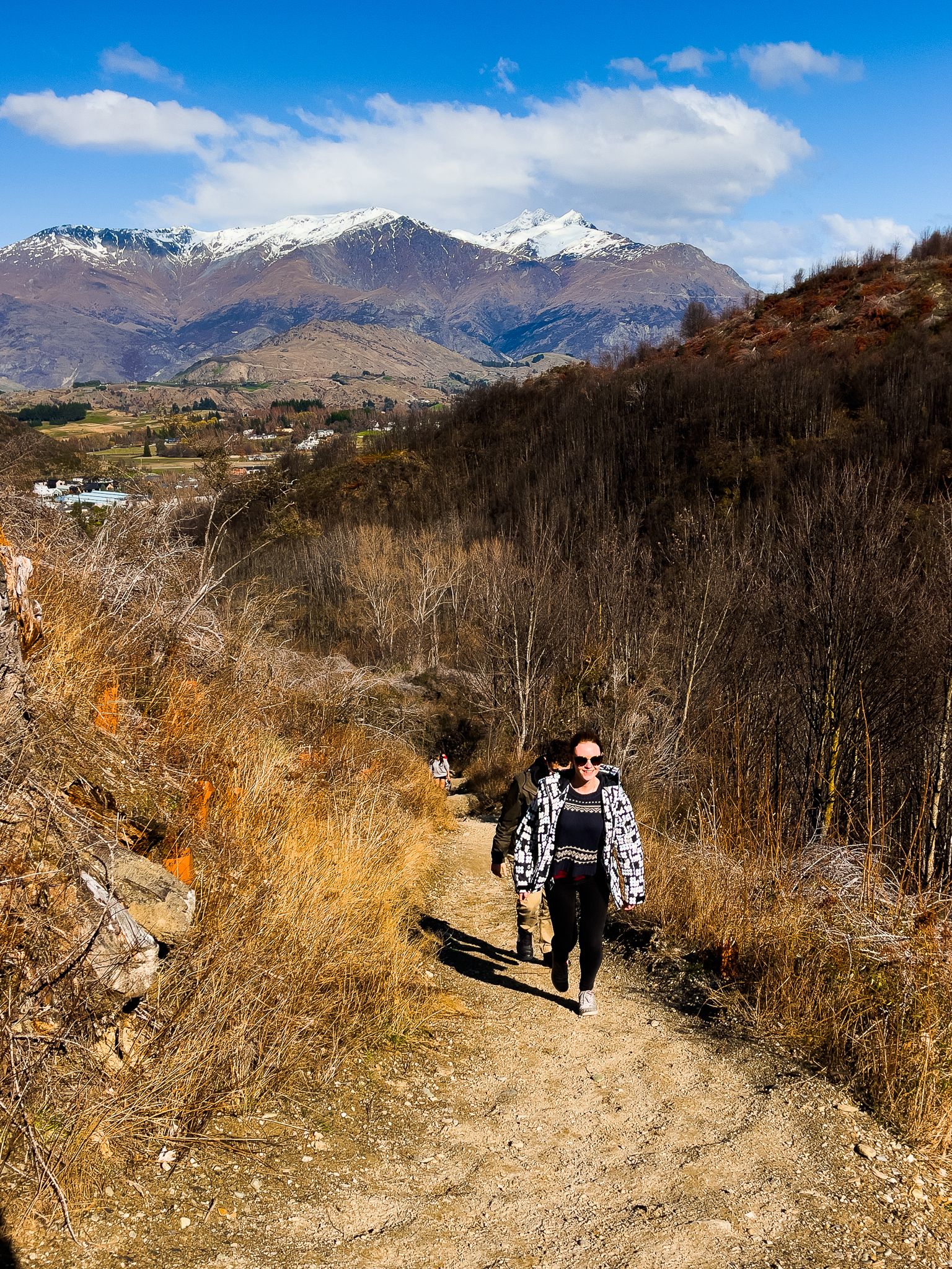
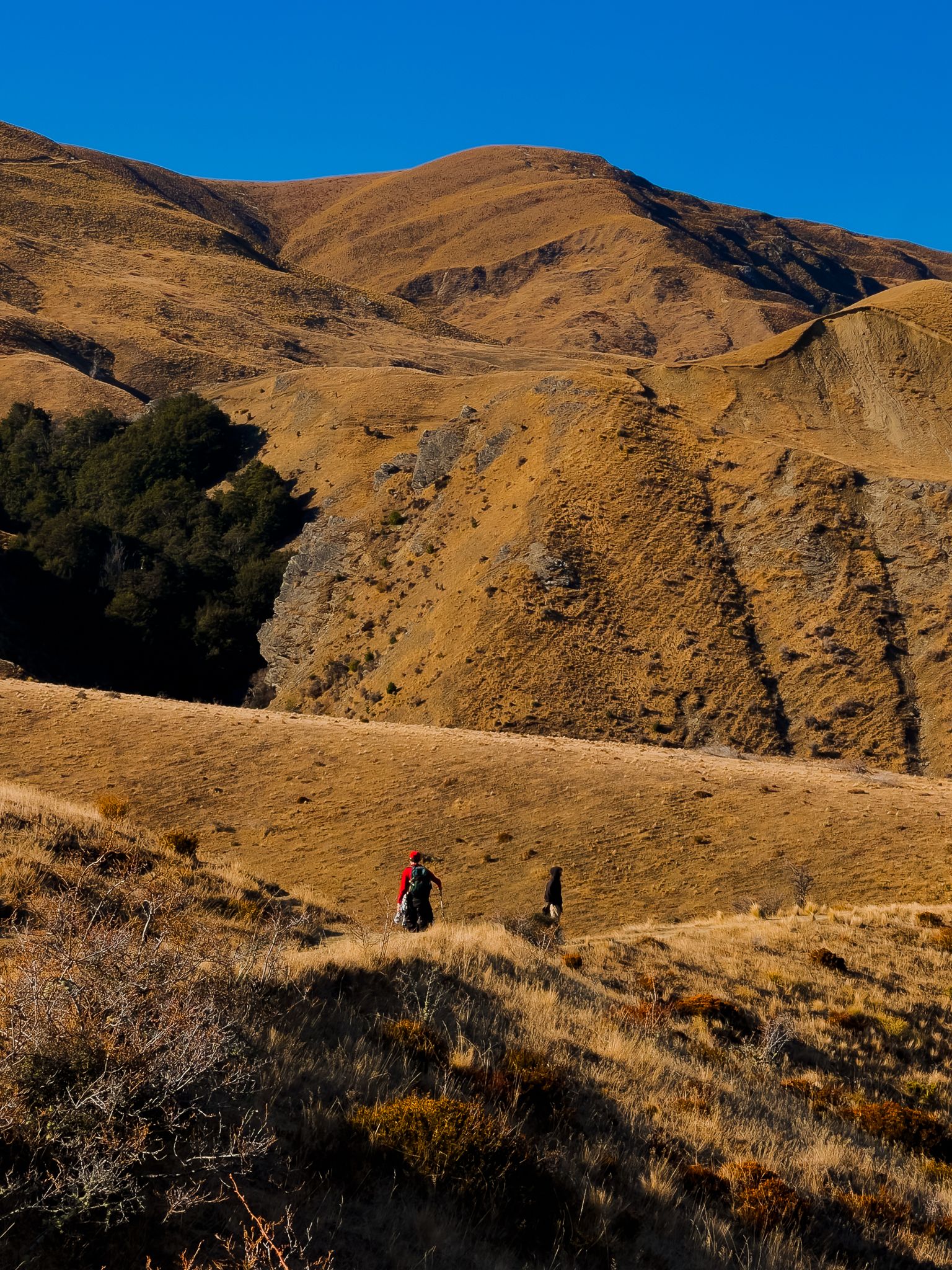
Continuing on the main track, you skirt the northeast side of German Hill before descending into Sawpit Gully, where gold miners once worked the creek gravels. An unmarked side track leads to the stone ruins of an old miner's hut, marked on Topo NZ. Below the hut site, the stream drops rapidly through a series of small waterfalls. The track clings to the steep eastern side of the gully, narrow and rough in places, with drops, but protected by scrub vegetation at the edges. As you near the gully's end, the Remarkables reappear in view, and unmarked paths branch off to cliff-edge viewpoints above Arrow Gorge.
Optional Return Tracks
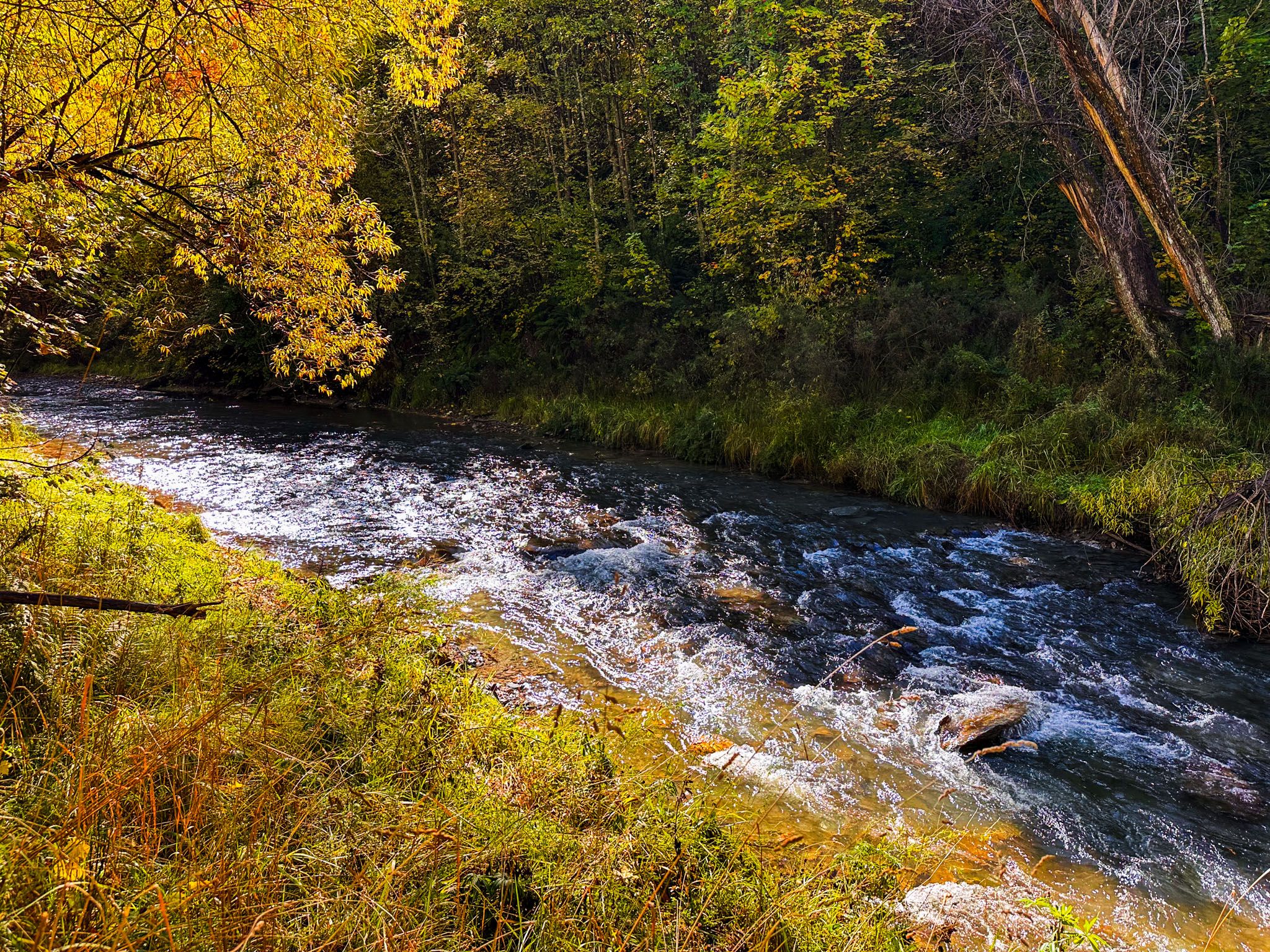
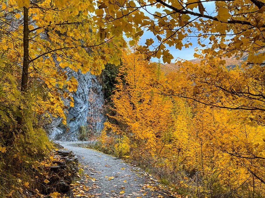
The final descent brings you to the spectacular Arrow Gorge, where you have two options for returning to Arrowtown. The New Chum Gully Track provides a 90-minute alternative route, while the Arrow Gorge Track completes the loop in 20 minutes. Along the gorge section, the stream from Sawpit Gully tumbles over rocks in a waterfall and crosses beneath the track, creating a natural rest spot before the final walk back to the car park.
History of Gold Mining in Sawpit Gully
Sawpit Gully takes its name from the gold rush era when miners established sawpits in the gully to cut timber for sluice boxes, mine supports, and buildings. Miners worked the creek gravels for alluvial gold, and the gully's steep terrain required substantial timber infrastructure. The stone hut ruin along the track marks one of the many mining camps that dotted these hills during the 1860s and 1870s. The track itself follows routes used by miners to access their claims and transport supplies between Arrowtown and the remote diggings around Macetown.
How to Get There
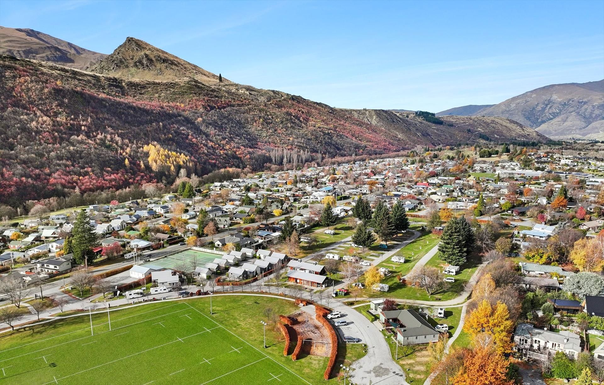
The track starts from the car park, off Ramshaw Lane, between central Arrowtown and the river. The trailhead is clearly marked and generally accessible year-round, though Winter conditions may require extra caution on the exposed saddle section.
Other gentler hiking tracks in the area include Lake Hayes, the Arrow River Trail, Tobins Track and the Oxenbridge Tunnel Track.