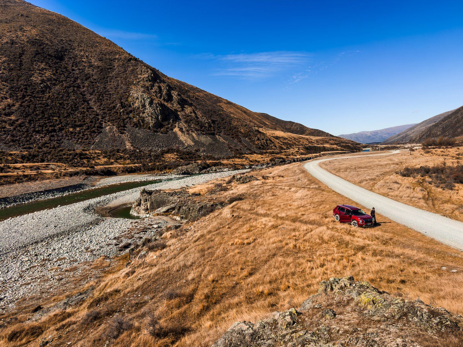
Exploring Birchwood Road
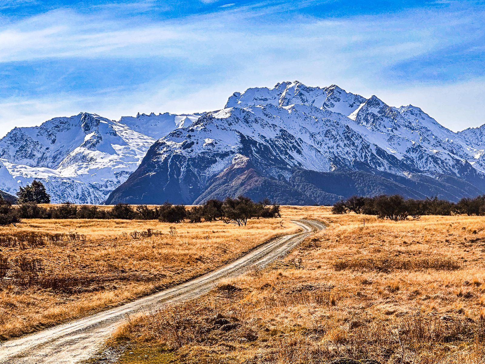
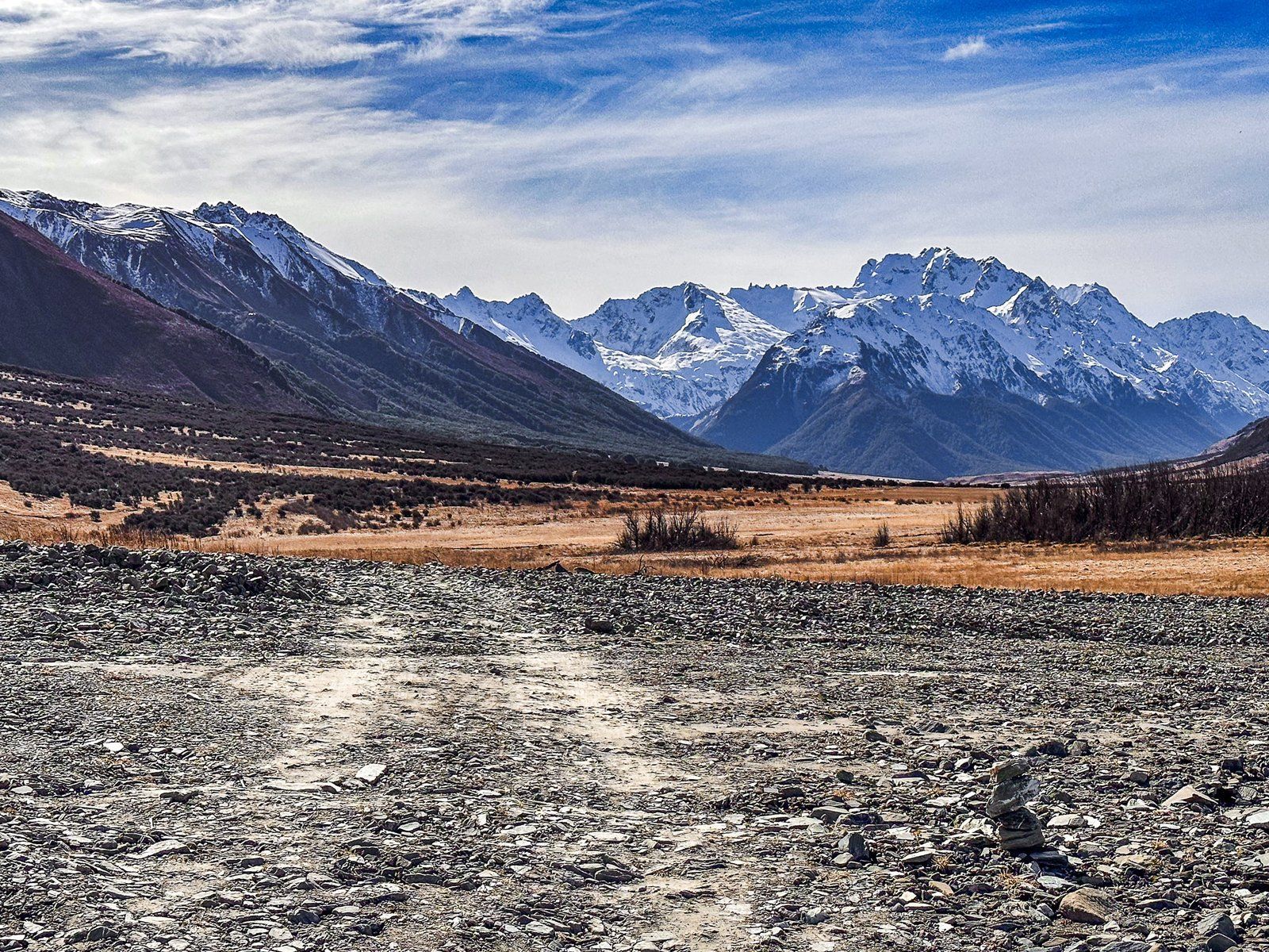
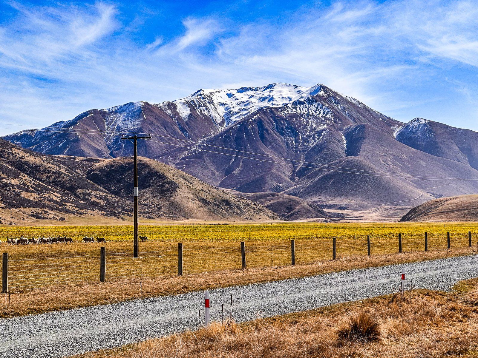
Birchwood Road is a gravel road that provides access to the scenic Ahuriri Valley and the Ahuriri Conservation Park. Starting from State Highway 8, between Omarama and Lindis Pass, it stretches approximately 34 km along the valley's western side. Early in the drive, you'll encounter interesting rock formations and easy access to the Ahuriri River, known for its trout fishing.
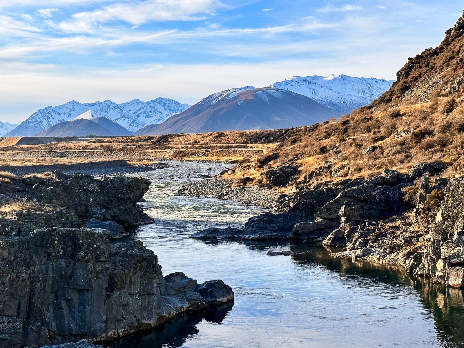
Scenic Views and Historical Features
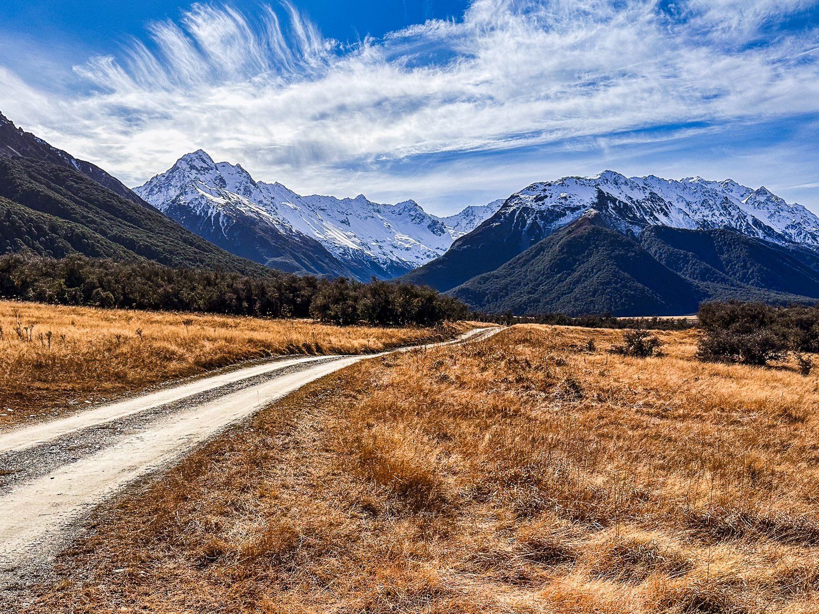
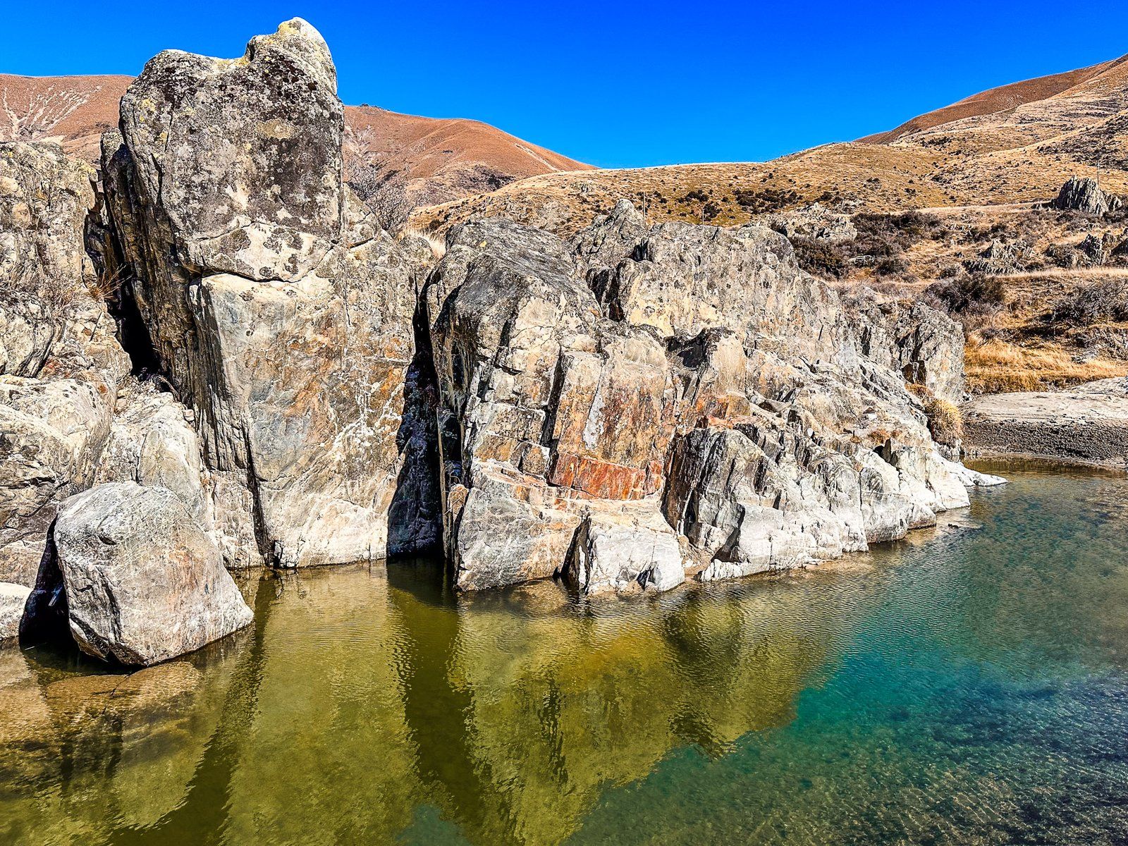
As you travel further, the valley narrows, and about five kilometres in, a short detour leads to a bridge at Ireland Road. This picturesque spot, complete with a river gorge, provides nearby river access. Continuing three kilometres along Birchwood Road, you'll be treated to a stunning view of the valley and river as they widen out. Here, the braided river has carved a channel through the gravel moraine left by the Ahuriri Glacier 20,000 years ago.
Avon Burn Car Park and Te Araroa Trail
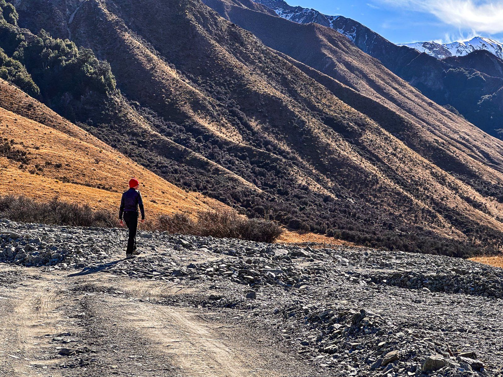
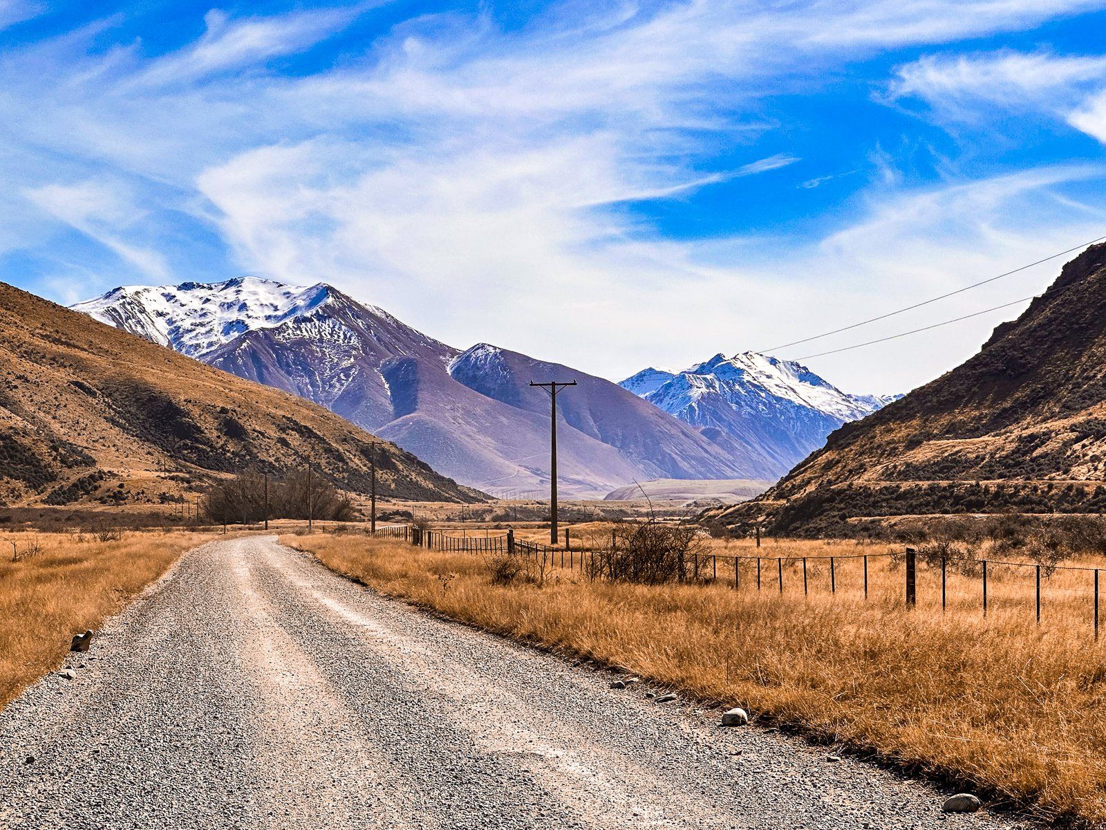
At the halfway point, you'll reach the Avon Burn car park. This area features an explanatory panel and easement access southwest into the Avon Burn Valley. From here, you can embark on a multi-day tramp through the mountains to Lake Hāwea and then Wānaka on Te Araroa. Ben Avon, a prominent rolling mountain, stands at 1,705 metres to the west of the car park. On the northeast side, another easement leads to the river, where Te Araroa heads through the mountains towards Lake Ōhau.
Discovering Ben Avon Wetland
The next notable stop is the Ben Avon Wetland. Despite the valley's typically dry appearance, the substantial lagoons and diverse birdlife, including the rare kakī (black stilt), are a delightful surprise.
Road Conditions and Facilities
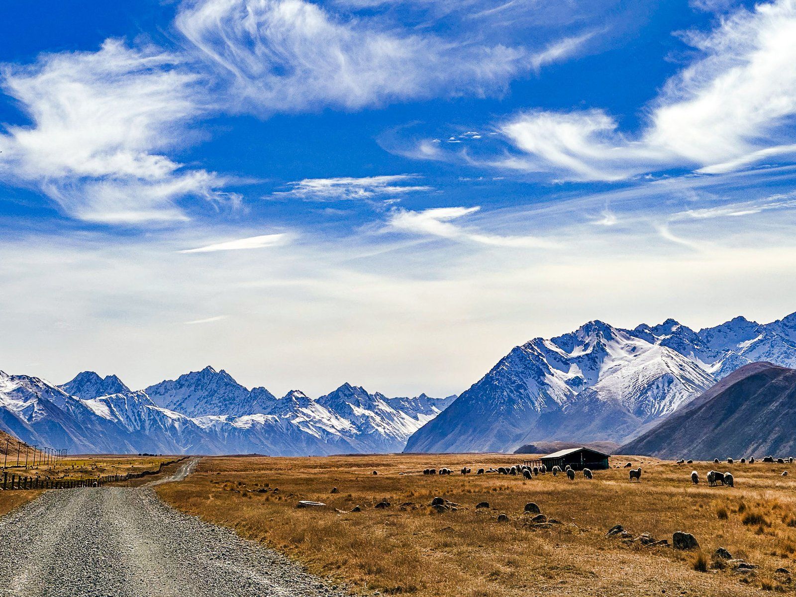
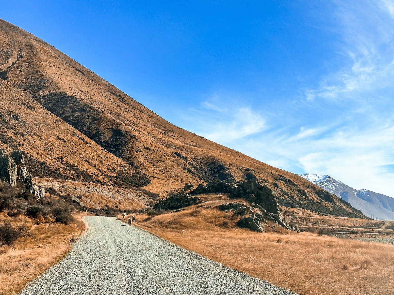
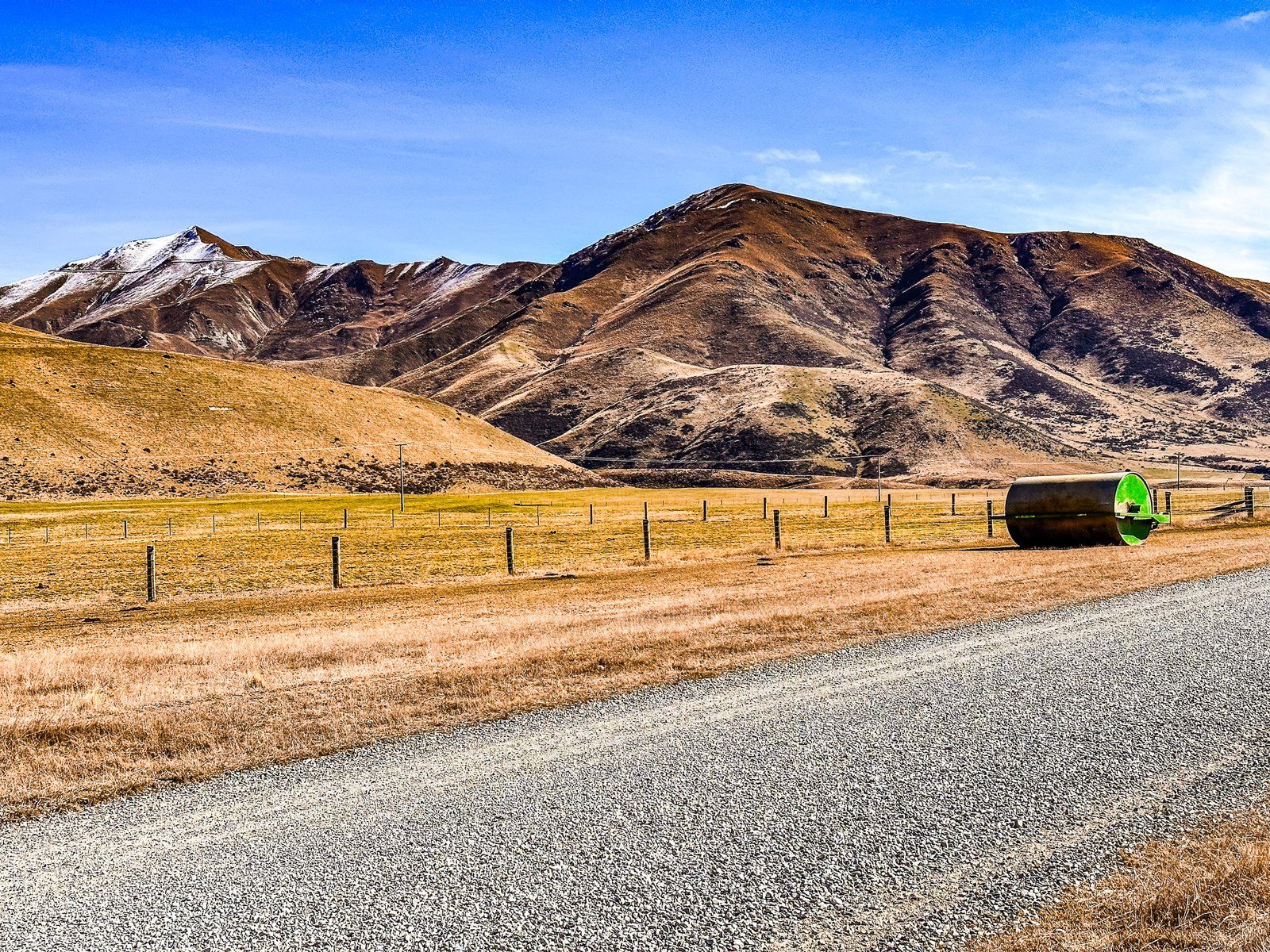
Beyond the wetlands, the road condition worsens with numerous potholes. While still navigable in a 2WD, progress is slower. Further along, you'll reach the boundary of the Ahuriri Conservation Park, another excellent river access point with seating and a toilet.
Birchwood Picnic Area and Beyond
At the 21 km mark, the road arrives at the Birchwood Picnic Area, a remnant of Birchwood Station. This area features several old farm buildings and a large open grassed space. For 2WD vehicles, this is the end of the road. The remaining 13 km requires a 4WD to navigate road washouts confidently, though cycling is another option for reaching the valley's northern end from the picnic area.
Getting to Birchwood Road
To reach Birchwood Road, start from State Highway 8, located between Omarama and Lindis Pass. The road runs along the western side of the Ahuriri Valley, providing access to various natural attractions and historical sites.