Discover Blueskin Road to Orokonui Ecosanctuary
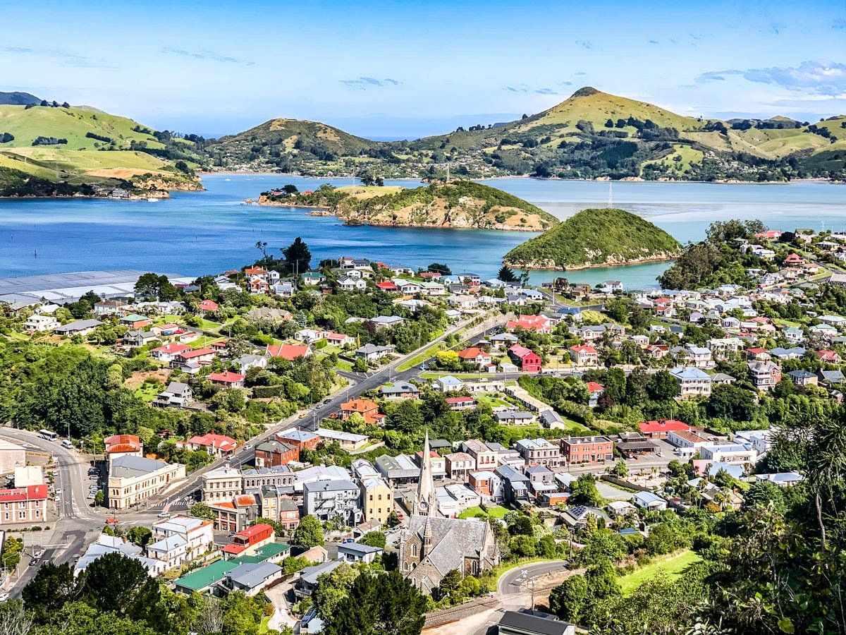
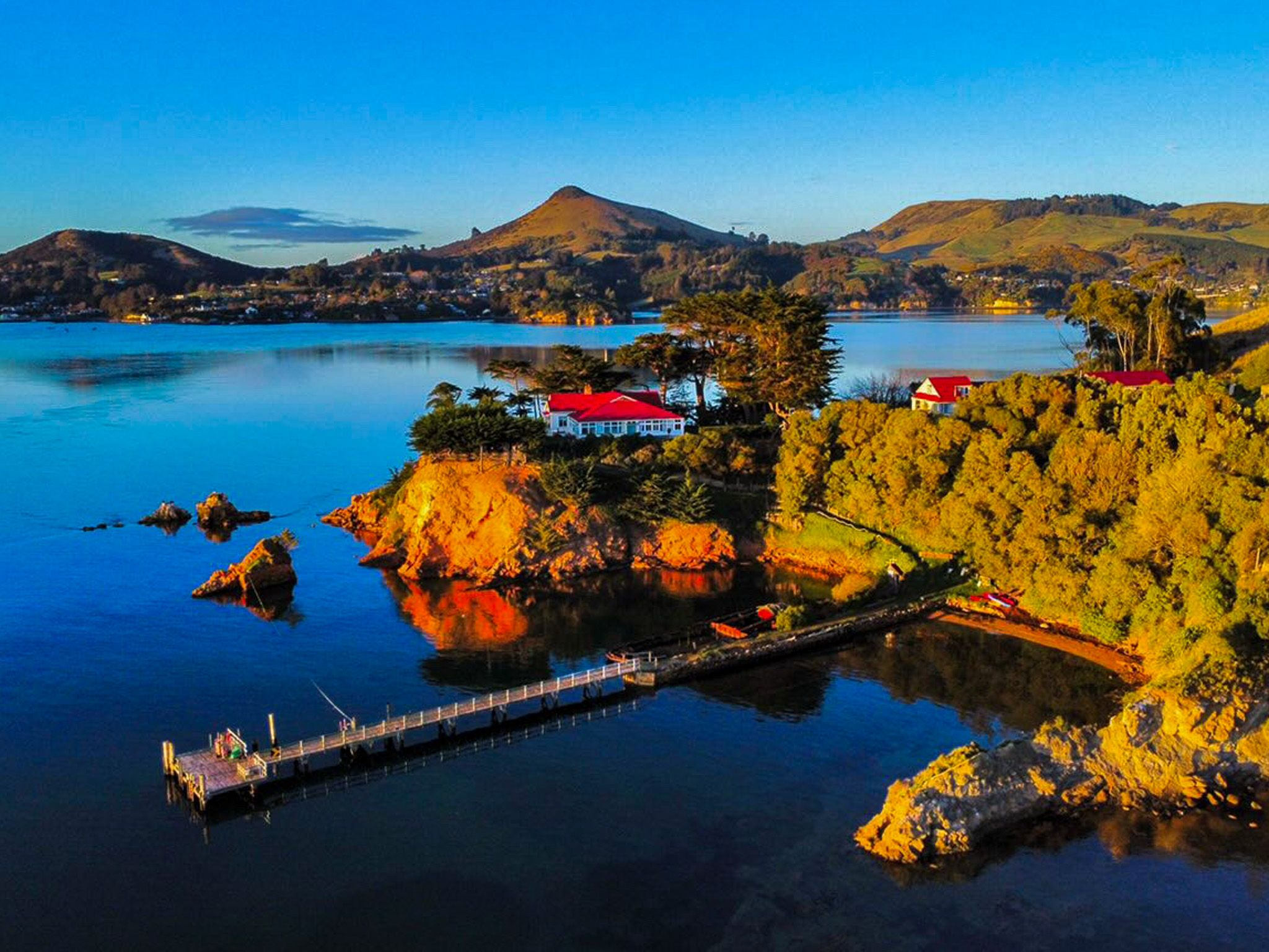
Located near Dunedin, a drive along Blueskin Road from Port Chalmers to Orokonui Ecosanctuary is a must-do experience. This route provides breathtaking views of Port Chalmers, the harbour, and the Otago Peninsula. It also provides access to several remote beaches.
Exploring the Road
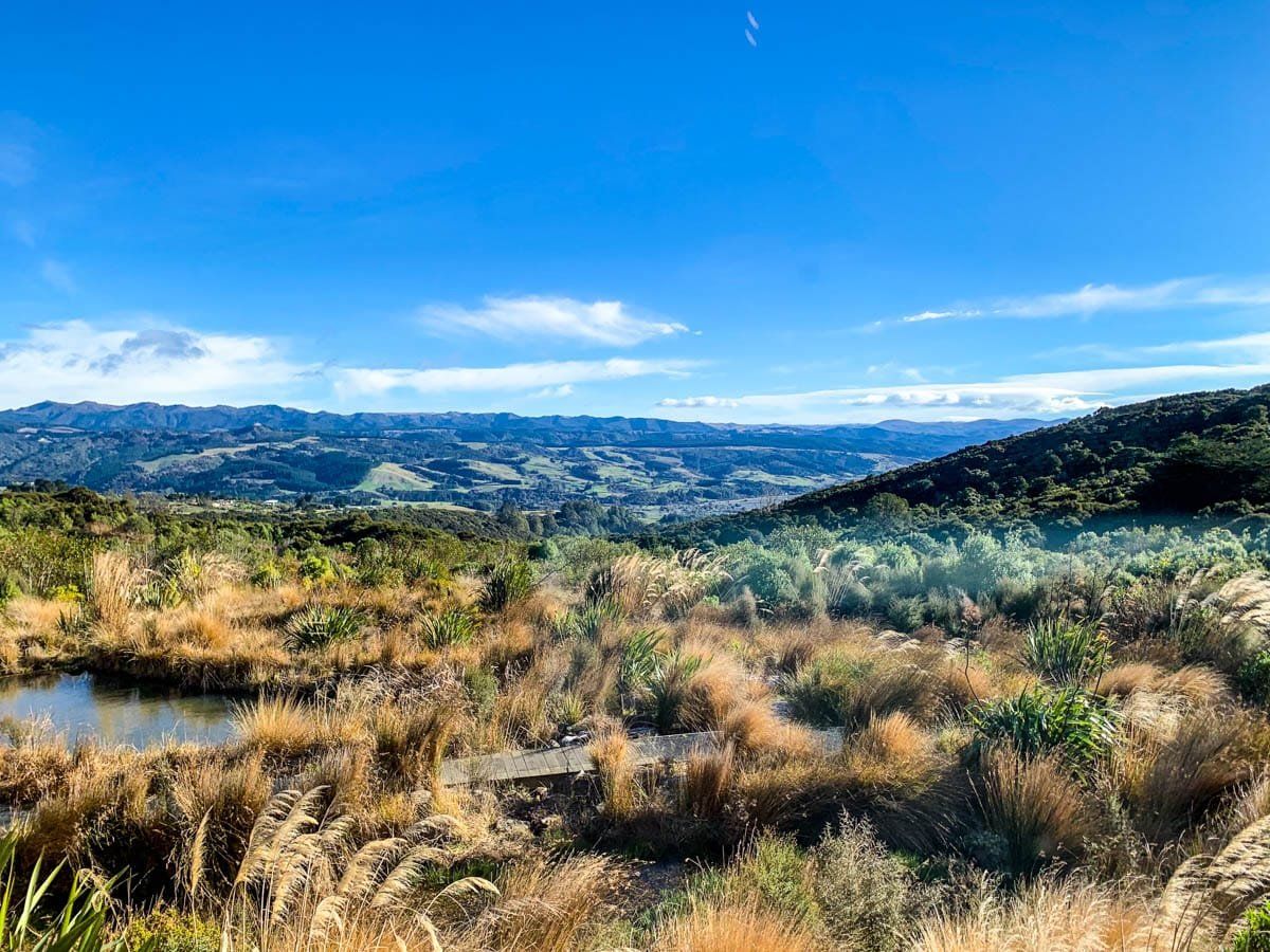
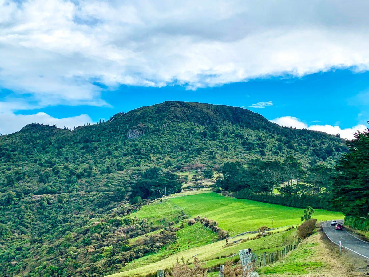
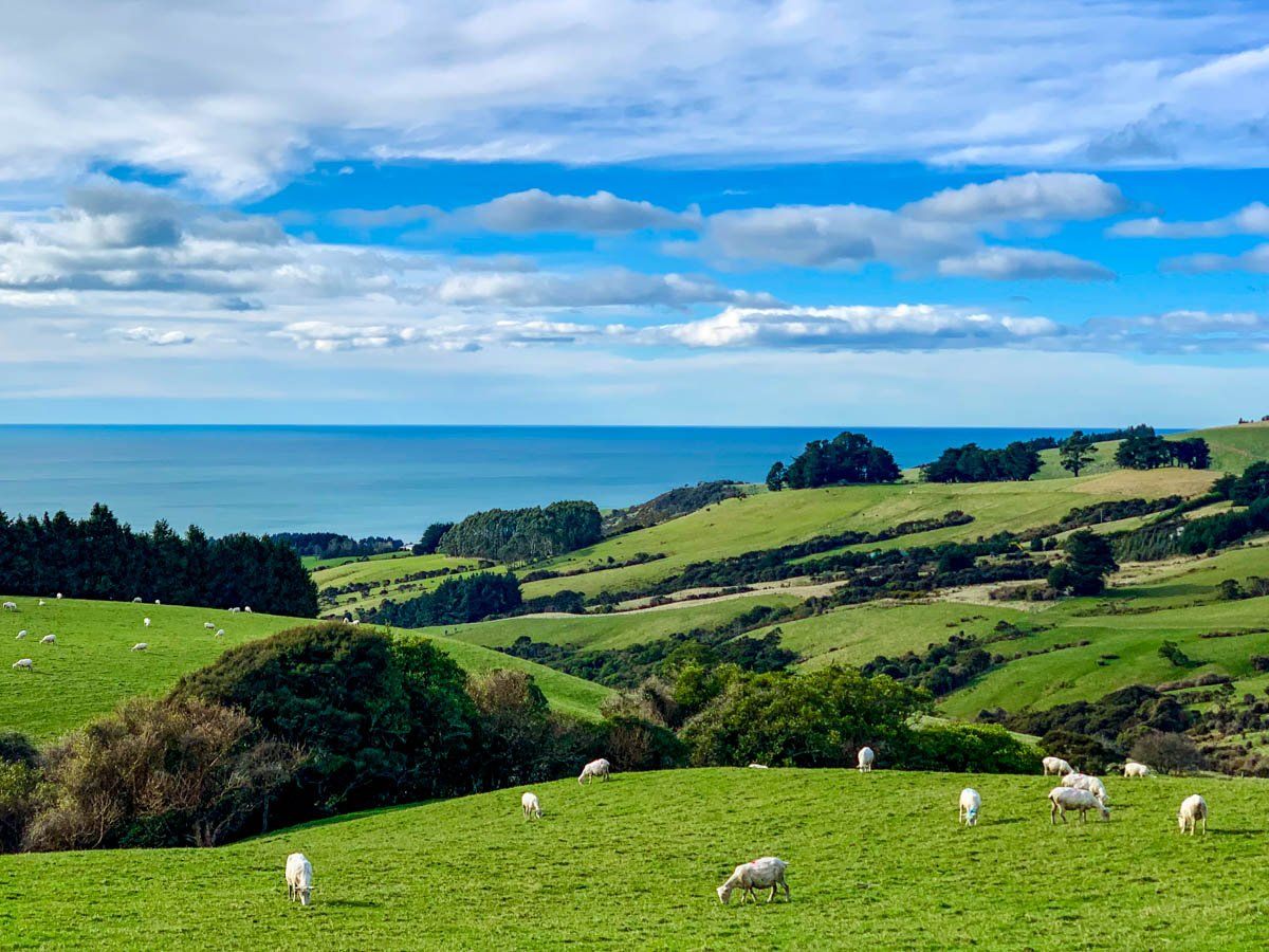
Blueskin Road offers one of the most scenic backroads in the Dunedin area, climbing the steep side of Mihiwaka, which rises to 561 metres. Originally formed as a rough track used by Māori and early European settlers, the road was progressively upgraded in the 1900s, with significant improvements in the 1970s and 1980s to support growing residential use and access to nearby conservation and recreation areas. Today, iti s a quiet, rural alternative to State Highway 1 for those heading toward Blueskin Bay, north of Dunedin.
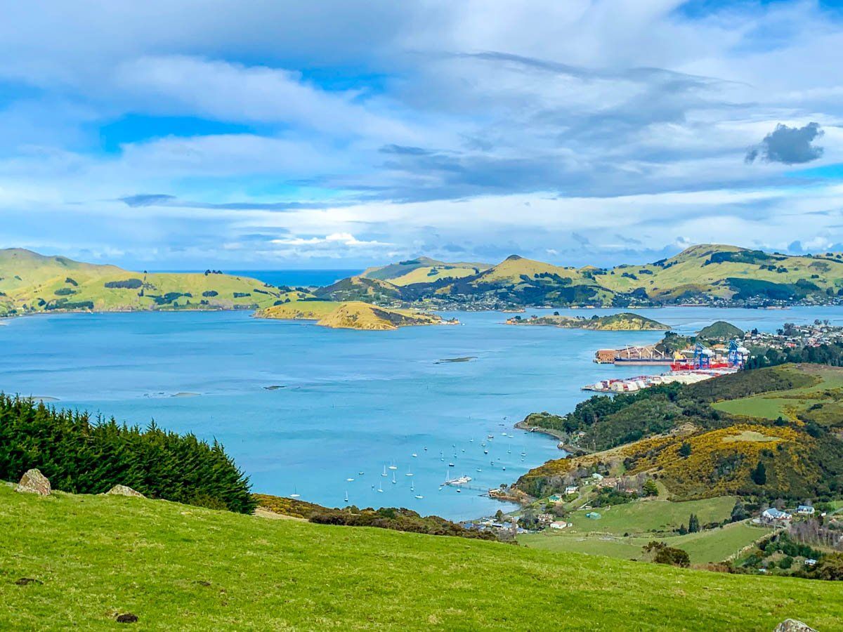
Starting in Port Chalmers, the first most notable stop is the Captain Scott Memorial, commemorating the famed Antarctic explorer Robert Falcon Scott, who departed from nearby Port Chalmers on his final expedition in 1910. The memorial site has sweeping views over the harbour and serves as a reflective point on the region’s maritime history. Continuing up the road to a high point of 300 metres provides superb views across the harbour to the Otago Peninsula, though finding a place to stop for photos takes some patience.
Access to Remote Beaches
Along the way, you will also discover turnoffs onto gravel roads that take you to several of Dunedin’s most remote and wild northern beaches: Long Beach, Whareakeake (Murdering Beach), and Pūrākaunui Bay, each with white sands, surf breaks, and seclusion. There’s also access to the Heyward Point Track, a dramatic coastal walk above Aramoana with stunning cliff-top views across to Taiaroa Head and the mouth of Otago Harbour.
Discovering Orokonui Ecosanctuary
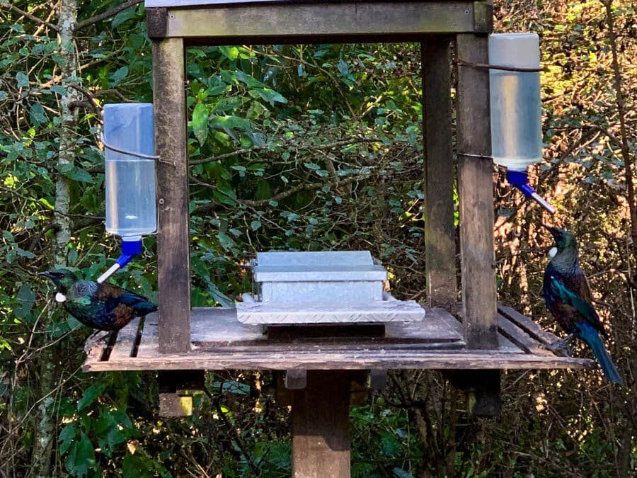
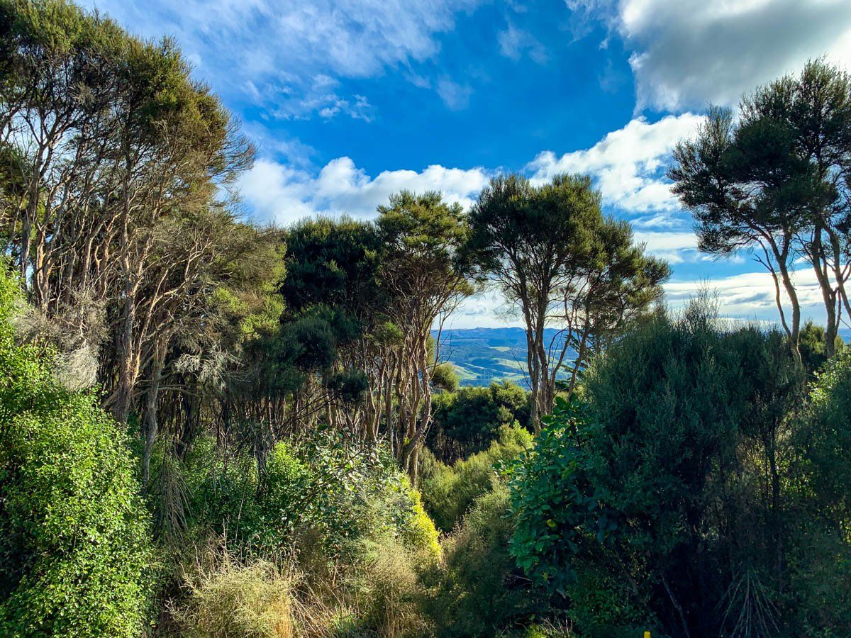
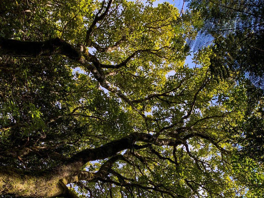
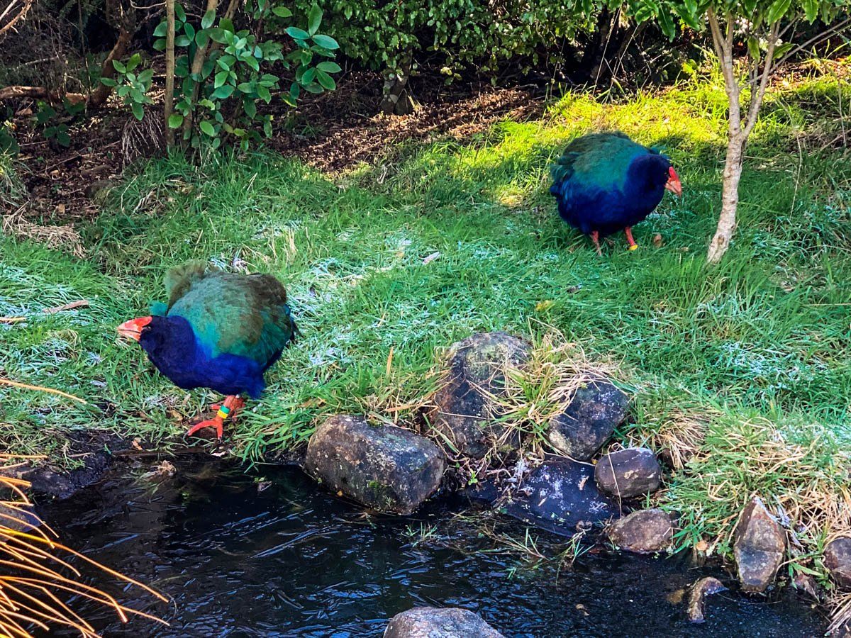
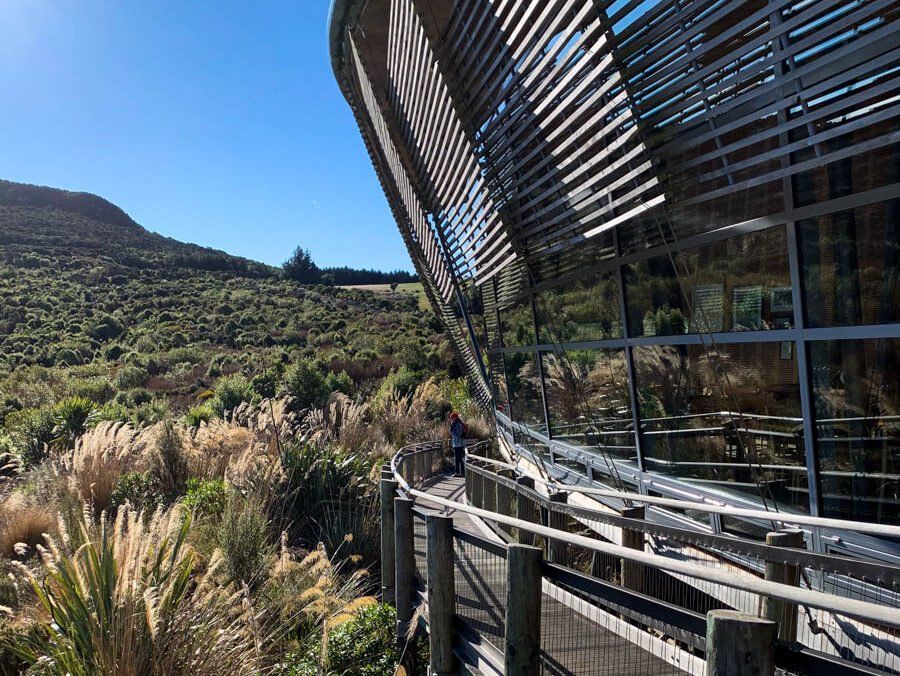
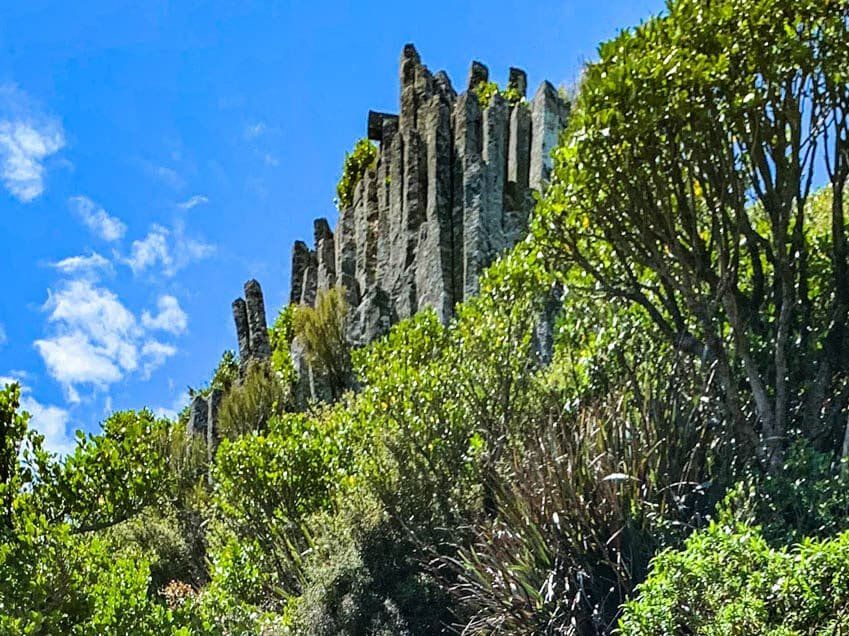
Continuing on the road brings you to the Orokonui Ecosanctuary, where you'll find a welcoming visitor centre and café with impressive views to the west. The sanctuary is known for its bush walks, where you can immerse yourself in nature and encounter a variety of native birds. Among the avian residents are kākā and the rare takahē. With only a few hundred takahē remaining globally, these birds are surprisingly approachable, allowing for close encounters.
Derivation of Blueskin
European settlers brought their fair share of weird names to New Zealand, but “Blueskin” is uniquely offensive and bizarre. At the time the first settlers arrived, there was a famous London highwayman named Joseph “Blueskin” Blake, known for a daring prison escape and for slashing the neck of "Thief-Taker General" Jonathan Wild during his trial, earning Blake the nickname Blueskin. Early settlers in the area applied the moniker to heavily tattooed local Maori, probably Kahuti and Te Hikutū, who lived in the area. The name obviously stuck.
The Māori name for Blueskin Bay is Waiputai, meaning “tidal waters”.
How to get there
To reach Blueskin Road from Dunedin, take State Highway 88 to Port Chalmers. Just after you enter the town, take a sharp left turn onto Borlass Road, which leads you to the start of Blueskin Road. To get there takes about 15 minutes.
From the Orokonui Sanctuary, you can continue down the road to Waitati and State Highway 1, on the edge of Blueskin Bay. Take time out to explore the coast, walking north from Doctors Point to Mapoutahi and Pūrākaunui Bay.