History In Otago Harbour
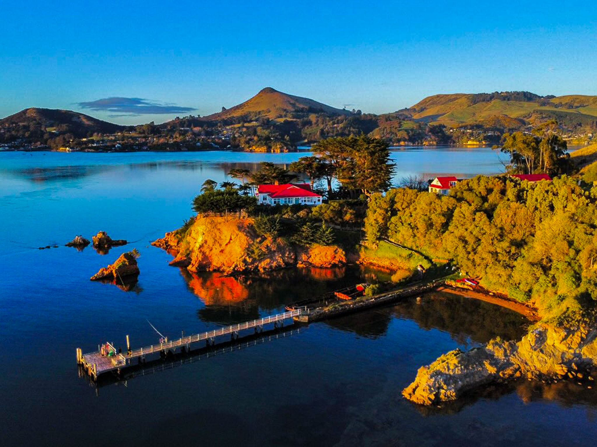
Quarantine Island / Kamau Taurua sits in the middle of Otago Harbour In Dunedin, roughly halfway between Port Chalmers and Portobello on the Otago Peninsula. At 15 hectares, it is the largest island in the harbour. The first impression is of a small island with a collection of old timber buildings and a jetty. It’s quiet and unhurried, but it carries more layers of human history than almost anywhere else of its size in New Zealand.
Kamau Taurua: Ancient Heart of the Harbour
The Māori name, Kamau Taurua, is an ancestral name connected to a voyaging waka, and also translates as a “place where nets are set”. The island was long important to Ngāi Tahu as a fishing and food-gathering site. Shell middens on the island, containing fish bone and kaimoana remains, show sustained occupation over centuries.
The island holds a further geological distinction: it marks the ancient centre of the Dunedin Volcano, which was active between 16 and 10 million years ago. The harbour is the remains of the crater, and the ridges of Otago Peninsula and above Dunedin mark the eroded crater rim. The summit of that now-eroded volcano once stood above Quarantine Island, and the rocky headlands and guts around the shoreline are shaped by lava dykes.
New Zealand's Oldest Quarantine Station
The station was established in 1861 and first used in 1863, when the clipper Victory arrived in Otago Harbour with smallpox among its passengers. Over the following decades, 41 ships were quarantined here, and around 9,000 people spent time on the island. The stay was typically one to two weeks, though it could be longer if illness persisted. Sick passengers were treated in the hospital buildings on the upper part of the island; those who were well waited in dormitories below.
Seventy-two people died here and are buried in the island cemetery, most graves unmarked. Among those who passed through were railway labourers, Chinese gold miners, Polish refugees, and wave after wave of British and European settlers. The Married Quarters building, completed in 1873 and still standing, is one of only two nineteenth-century offshore quarantine dormitories remaining in New Zealand.
The station operated until 1924, making it the longest continuously used quarantine facility in the country. There were three other similar locations around New Zealand - Matiu / Somes Island in Wellington, Motuihe Island in Auckland and Ōtamahua / Quail Island in Lyttelton.
The First World War and a Solemn Memorial
When the quarantine station closed to civilian use during the First World War, the island was converted into a military hospital, treating soldiers, predominantly for venereal disease, before and after overseas service. The military took full control of the island in 1918 and 1919. On a level area of ground near the buildings, soldiers levelled a parade ground. This was later used briefly by ninety huskies and their handlers passing through in 1928, en route to Antarctica with Byrd's expedition.
A memorial erected on the parade ground commemorates five New Zealand soldiers executed by firing squad in France and Belgium during the war. Erected by the island community in 2015, it was the first such memorial in New Zealand.
The Island Community and Conservation
Since 1958, the island has been leased and cared for by a community group, Quarantine Island / Kamau Taurua Community Incorporated, which manages the buildings and runs the island's conservation, restoration, and visitor programmes in partnership with DOC. A resident keeper lives on the island year-round, maintaining the buildings and welcoming visitors.
The community has steadily replanted native species on the steeper slopes and operates an active predator control programme targeting rats and mice, protecting various seabirds that nest around the island. Little shags / kawau paka nest on the Portobello-facing side of the island. Otago shags / kawau roost on the rocks above Nichols Passage on the opposite shore. White-fronted terns / tara have nested at the jetty since around 2018, and oystercatchers / tōrea and southern black-backed gulls / karoro breed around the island margins.
What to See and Do
A self-guided walking trail loops around the island, taking in the Married Quarters, the hospital foundations, the cemetery, the carved gateway (created by a community member to mark the community's fiftieth anniversary in 2008) and two historic ship wrecks visible on the shore: the steel harbour ferry Waikana, built in Dunedin in 1909, and the wooden timber carrier Oreti. Both are fragile and not to be climbed.
The views from the higher ground take in the full harbour, Port Chalmers to the north, and the Otago Peninsula to the south. Swimming is possible at a few spots around the shore. St Martin Lodge, named for the island's former community title, accommodates groups overnight.
How to Get There
The island is accessible by water taxi from Port Chalmers and Portobello, a short crossing of around five minutes. The Quarantine Island / Kamau Taurua Community organises regular Welcome Days with boat transport included; check their website at quarantineisland.org.nz for dates and bookings. Private kayak access is also possible for experienced paddlers in calm conditions.
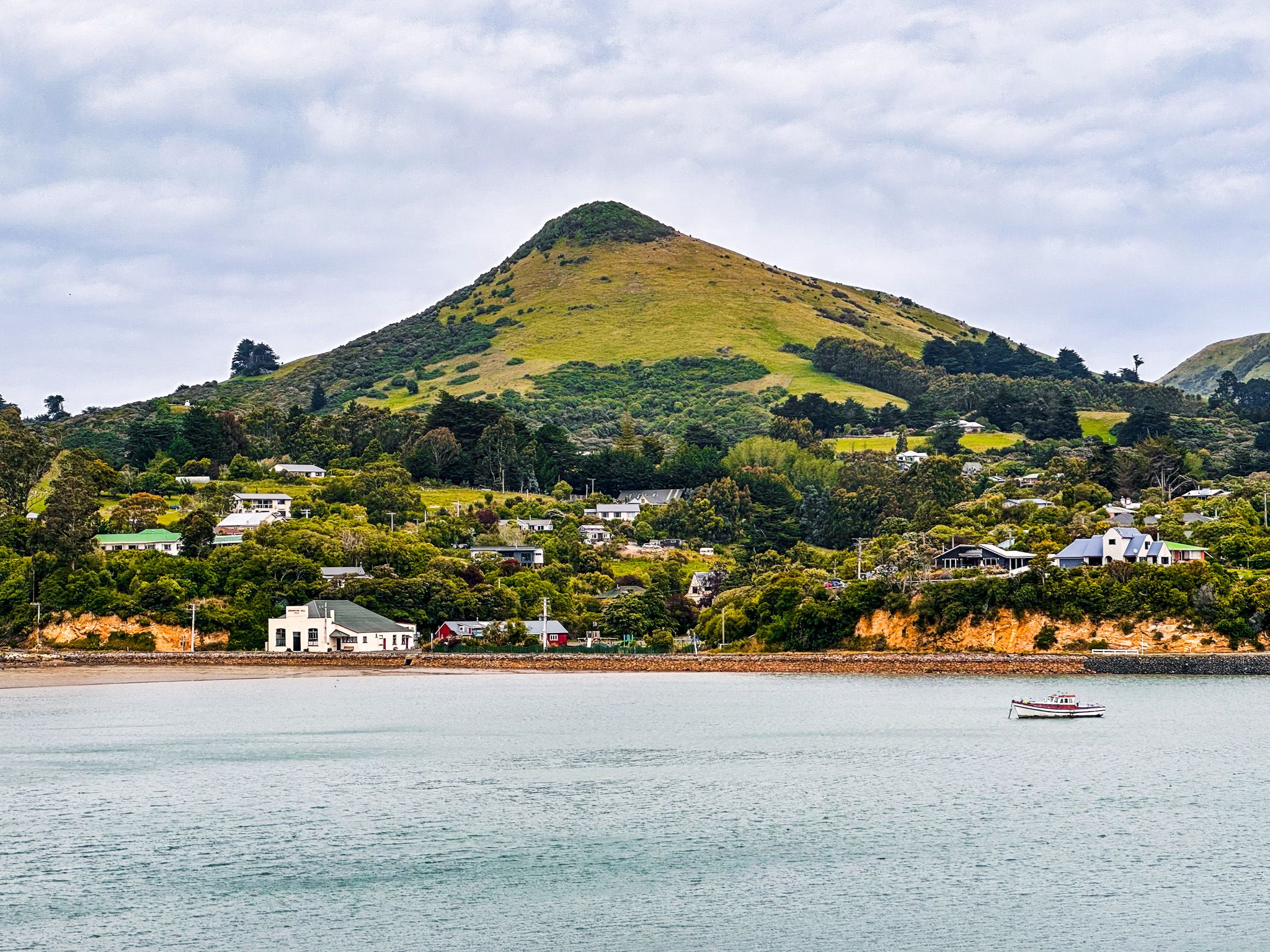
Portobello village is around 25 kilometres from central Ōtepoti / Dunedin, reached by following Portobello Road along the harbour edge. The drive takes around 30 minutes.
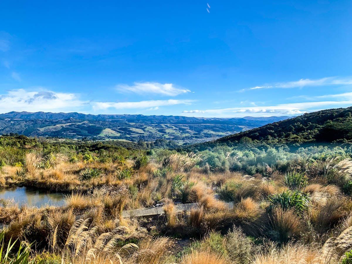
Other nearby places to visit include Taiaroa Head, Victory Beach and the Pyramids, Sandy Mount, Sandfly Bay and Larnach Castle.
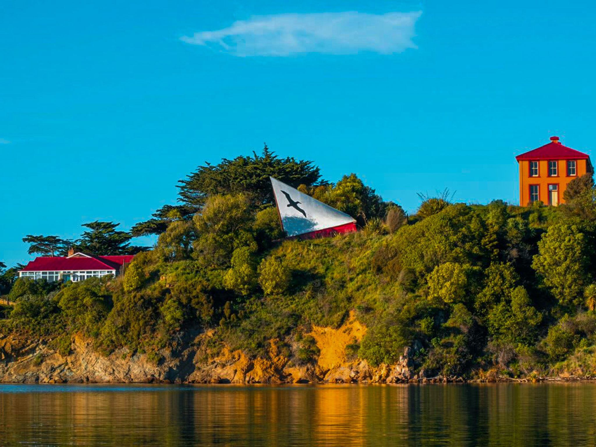
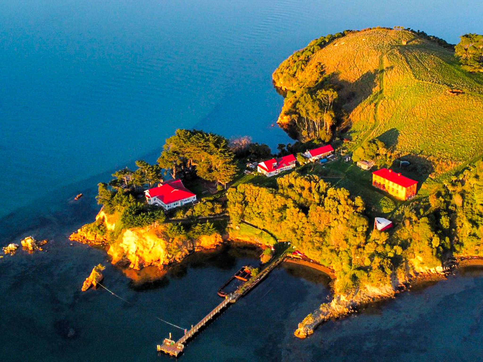
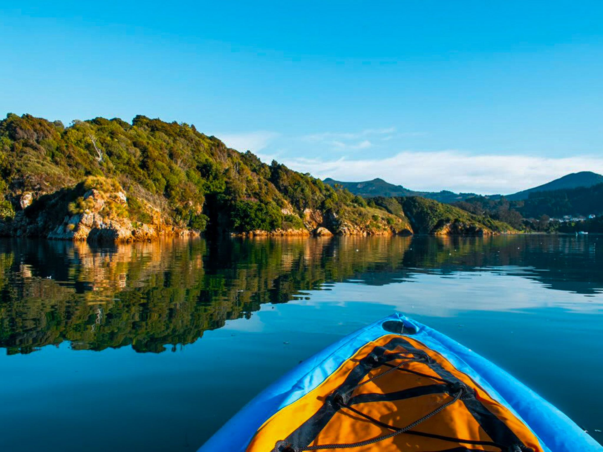
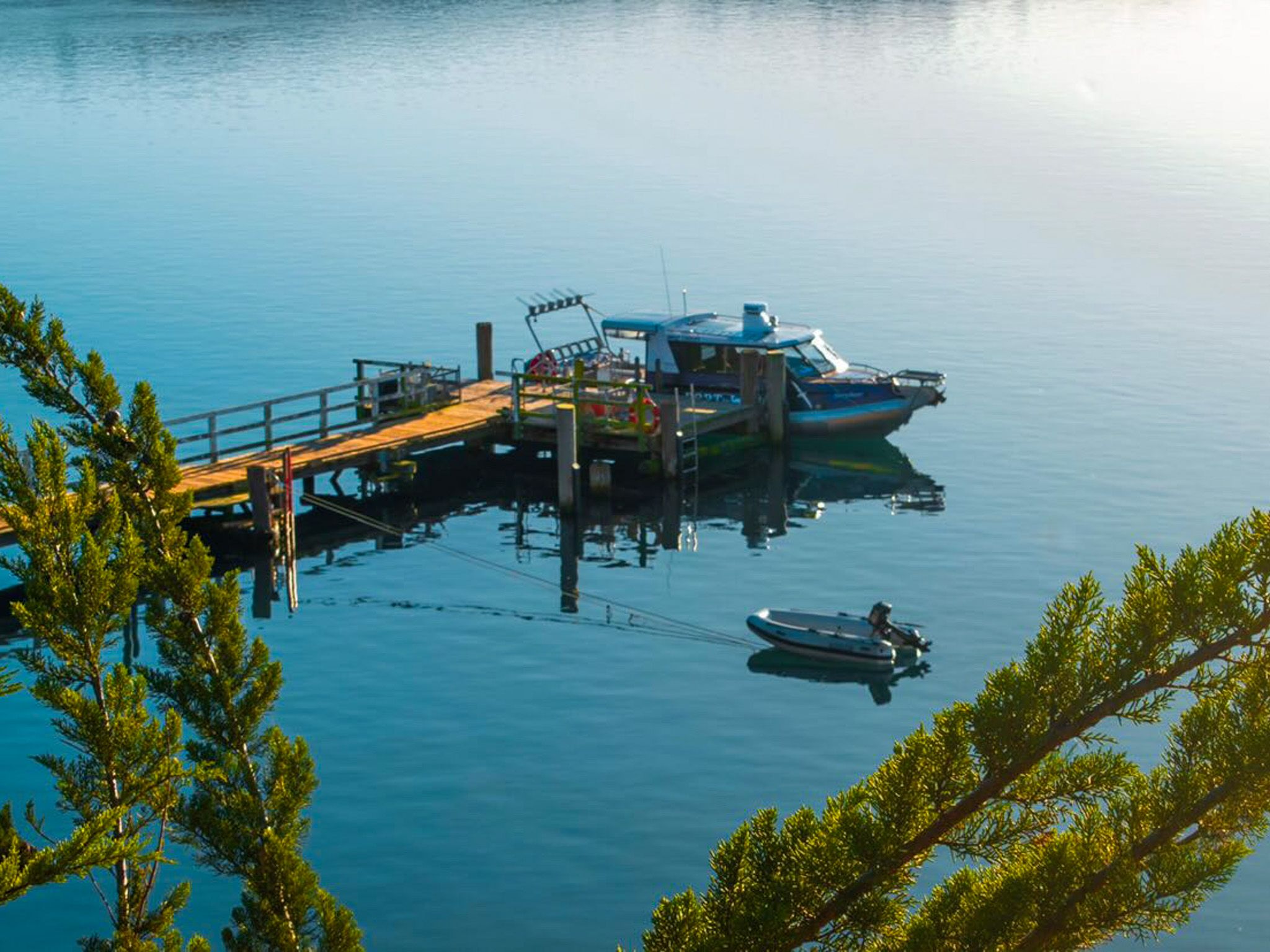
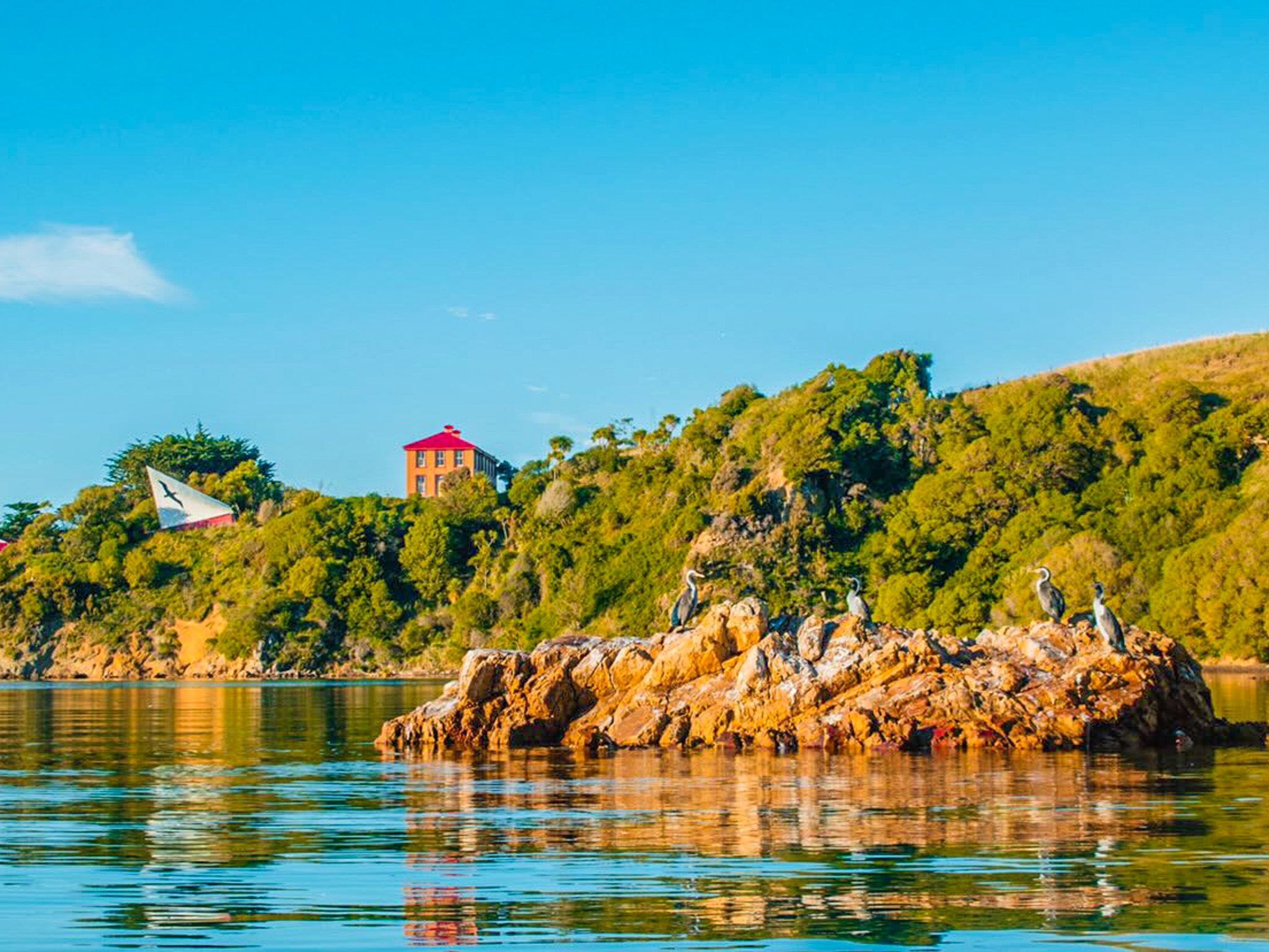
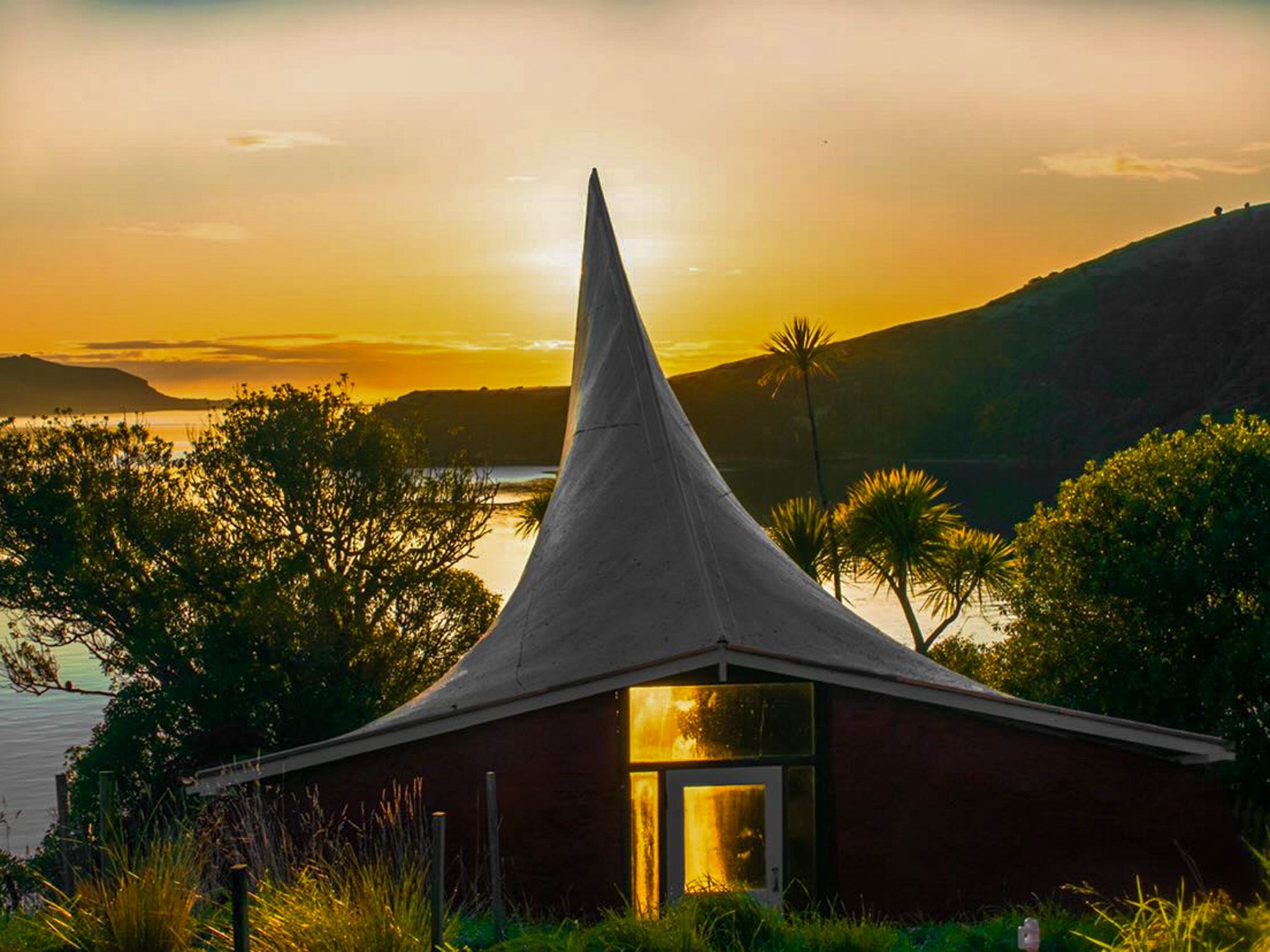
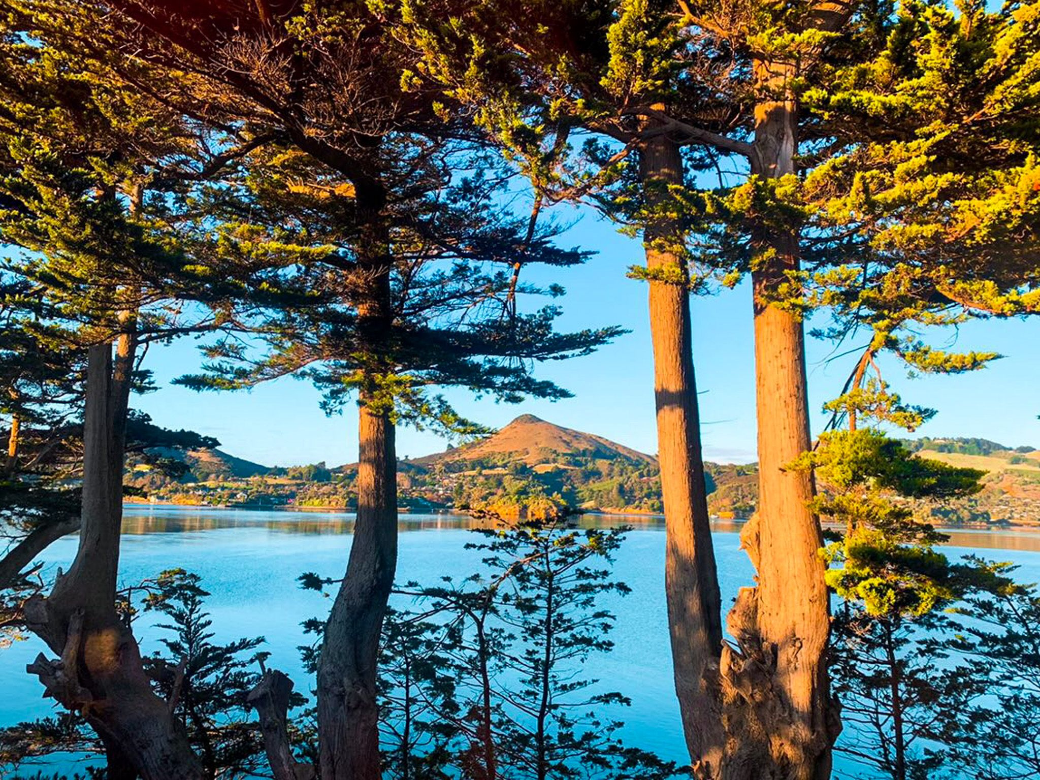
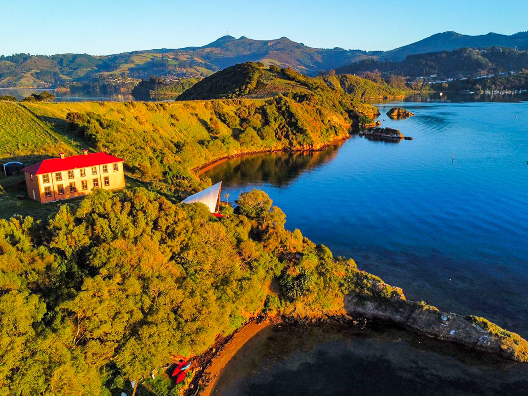
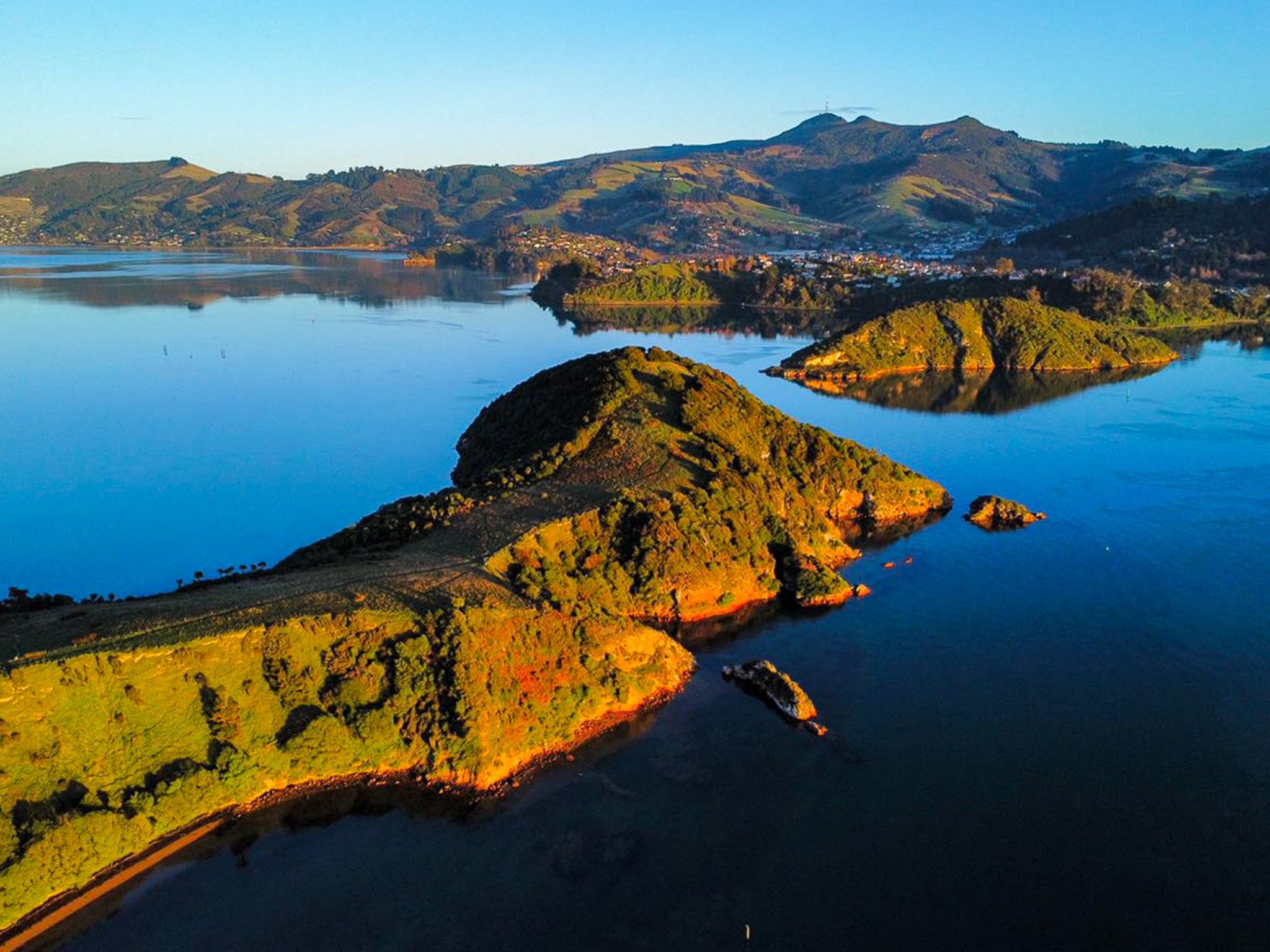
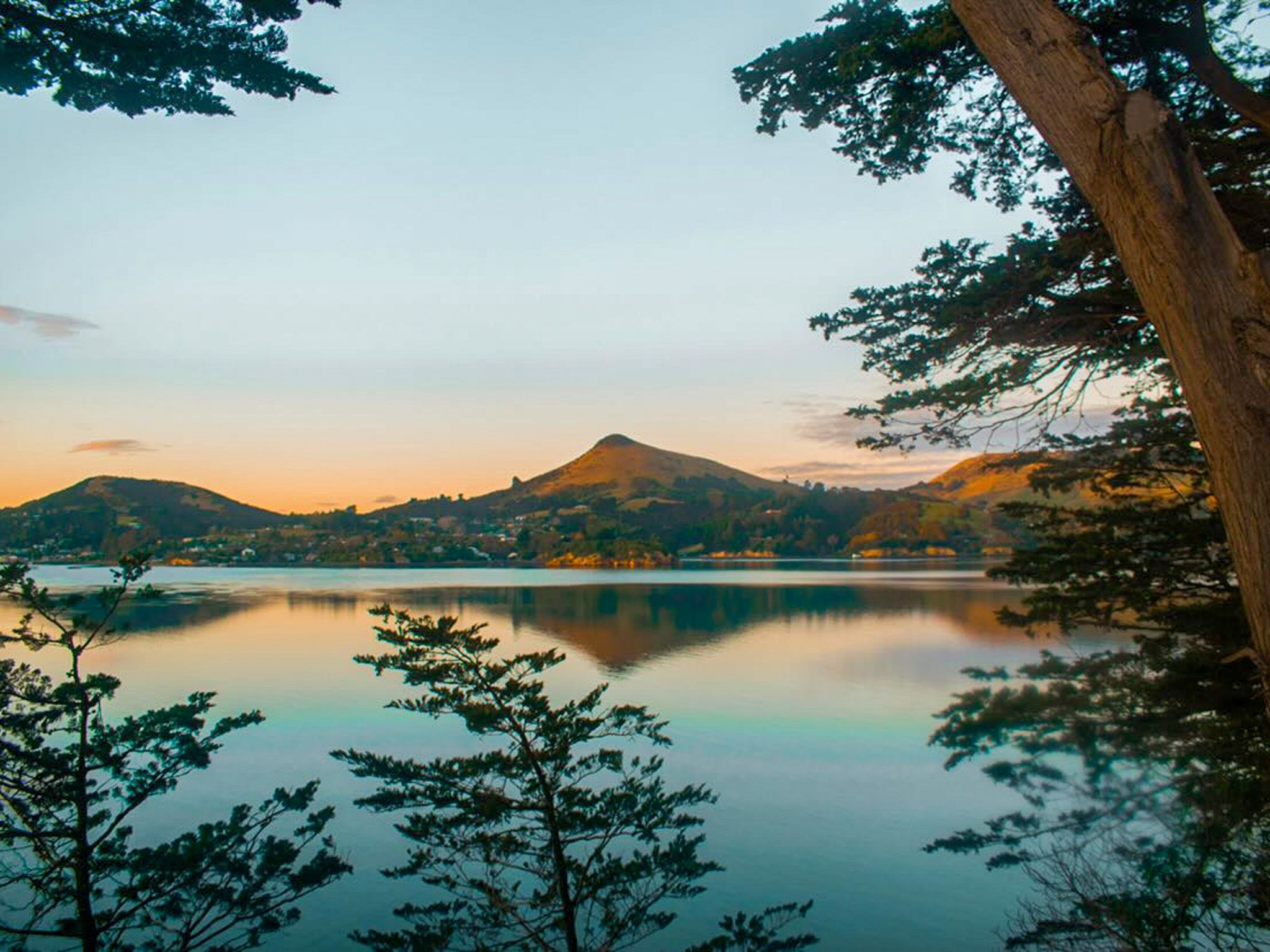
Photo Credit: Georgia Wallis (@the_cornishpixietravels)