Discovering Bobs Cove
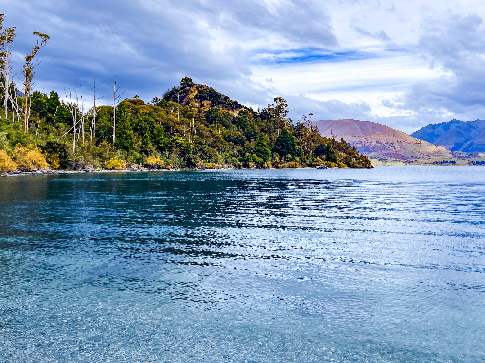
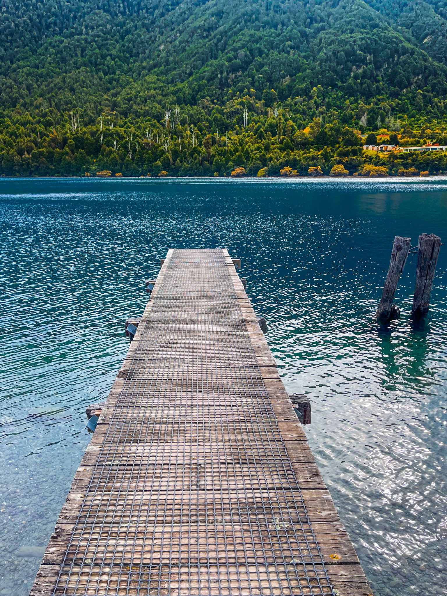
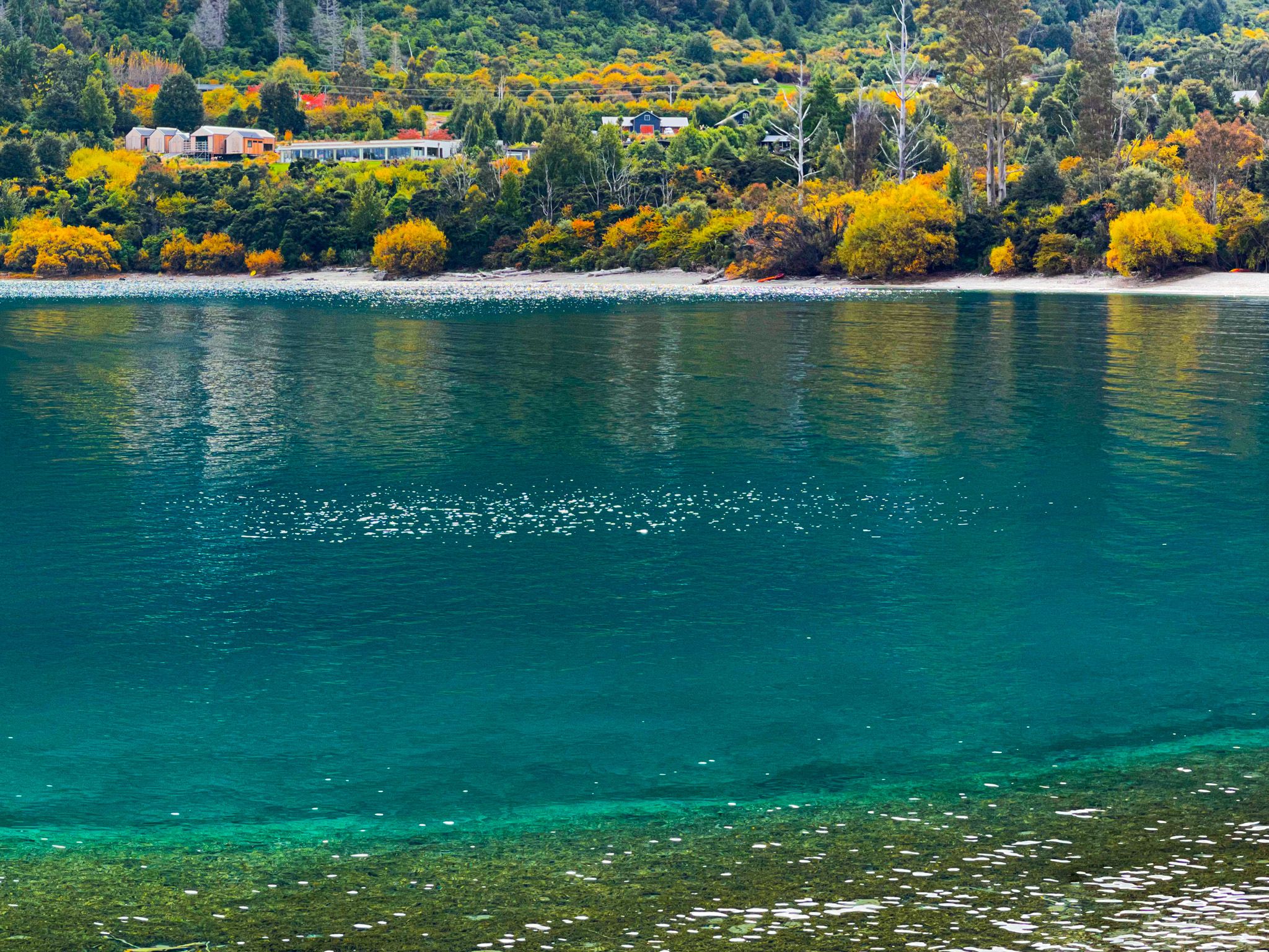
Bobs Cove is a scenic spot located along the shores of Lake Wakatipu, just a short drive west from Queenstown. This area is known for its beautiful forest and historical significance, making it an appealing destination for those interested in both nature and history. The track offers a glimpse into the region's past, with remnants of its industrial history and stunning views of native flora.
Exploring the Track
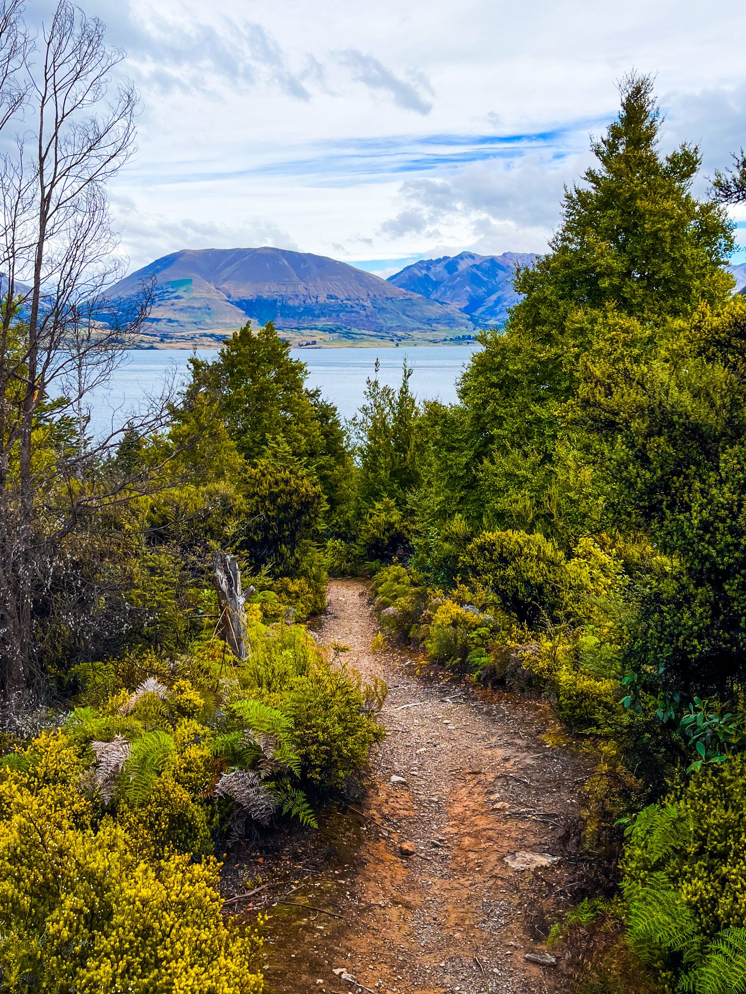
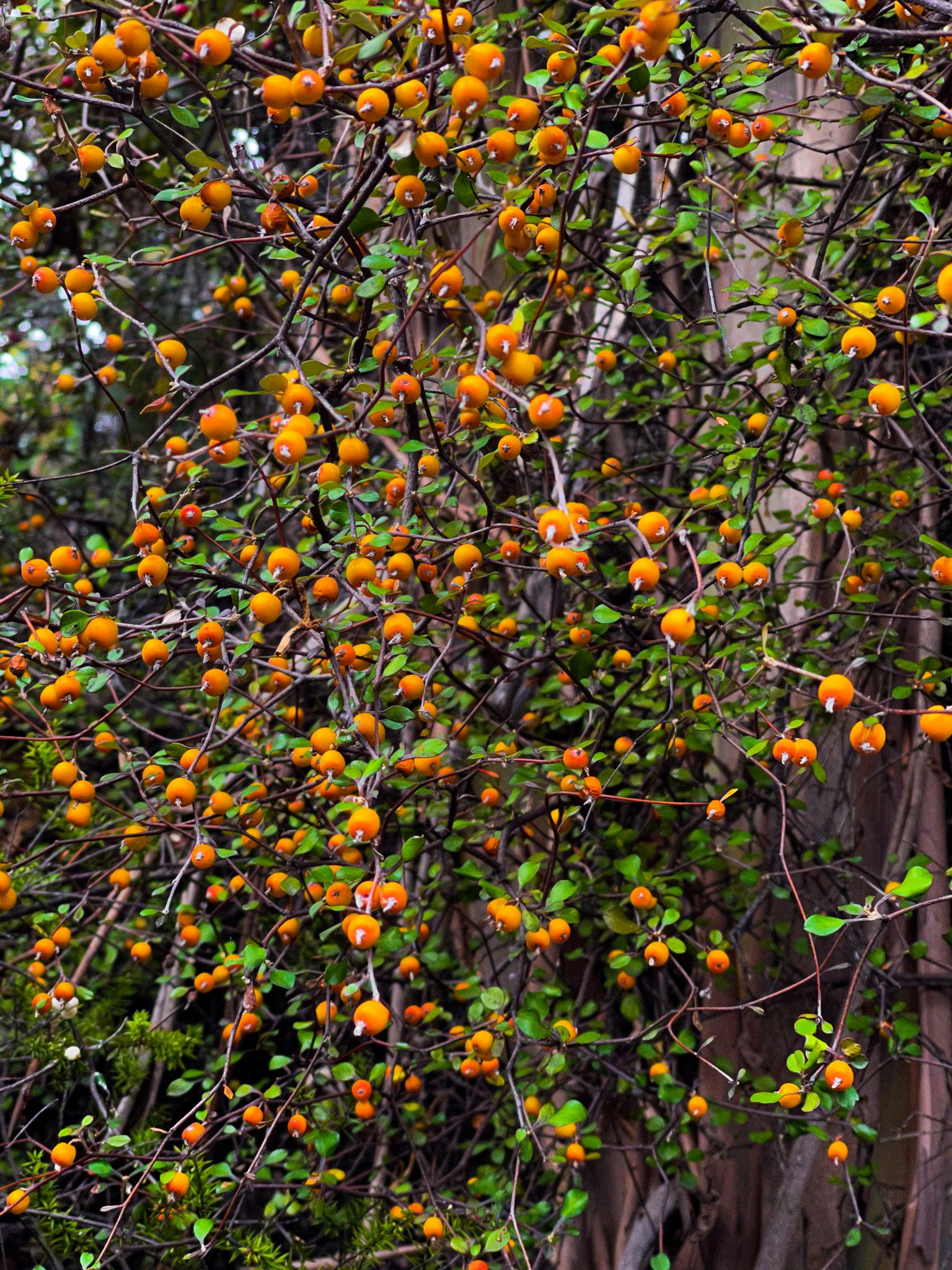
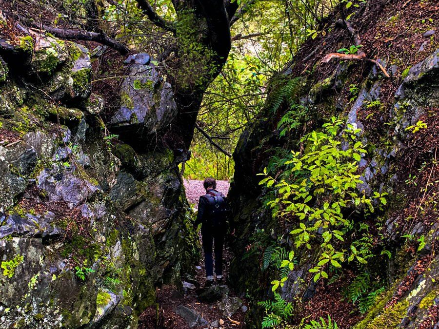
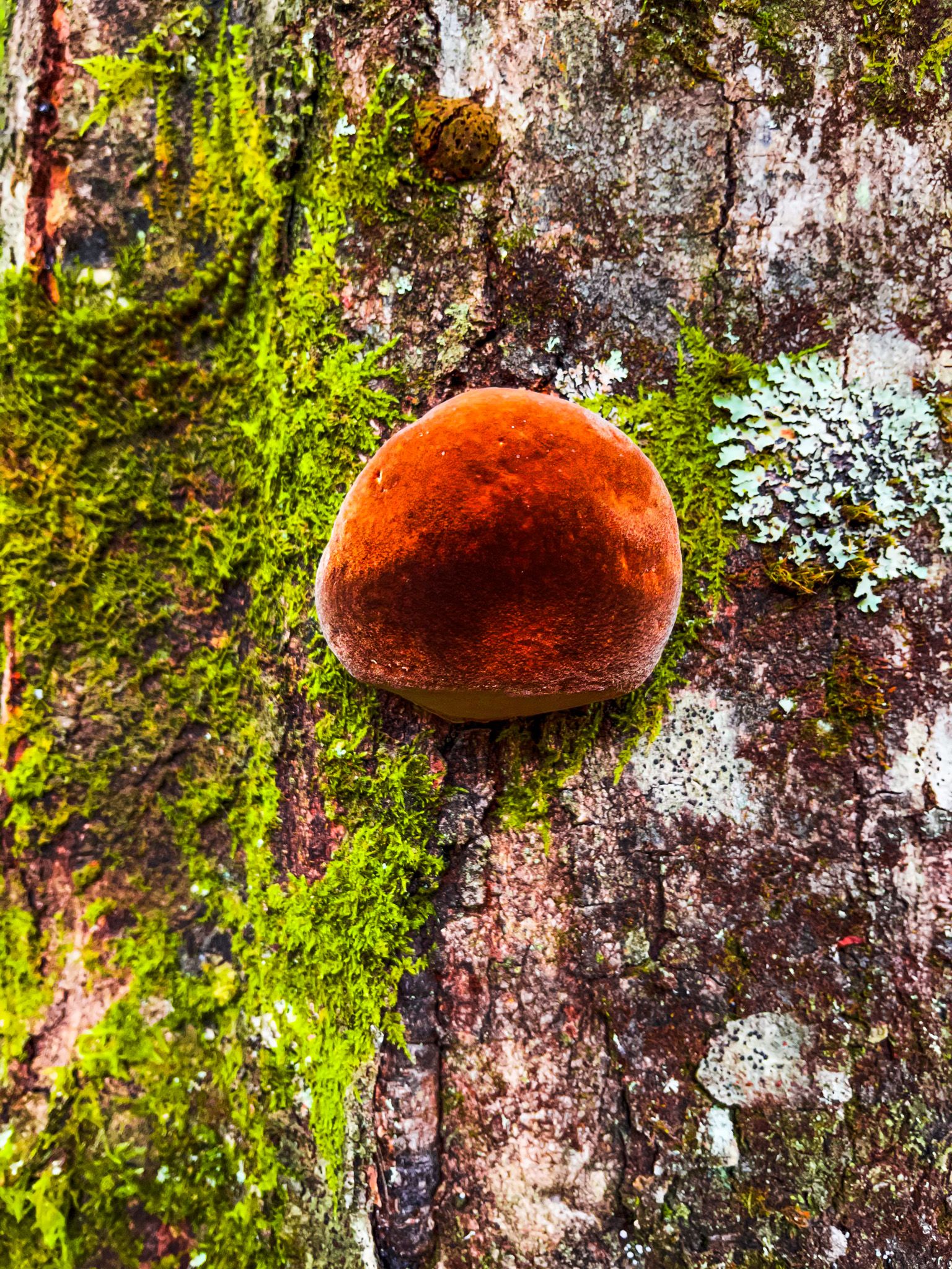
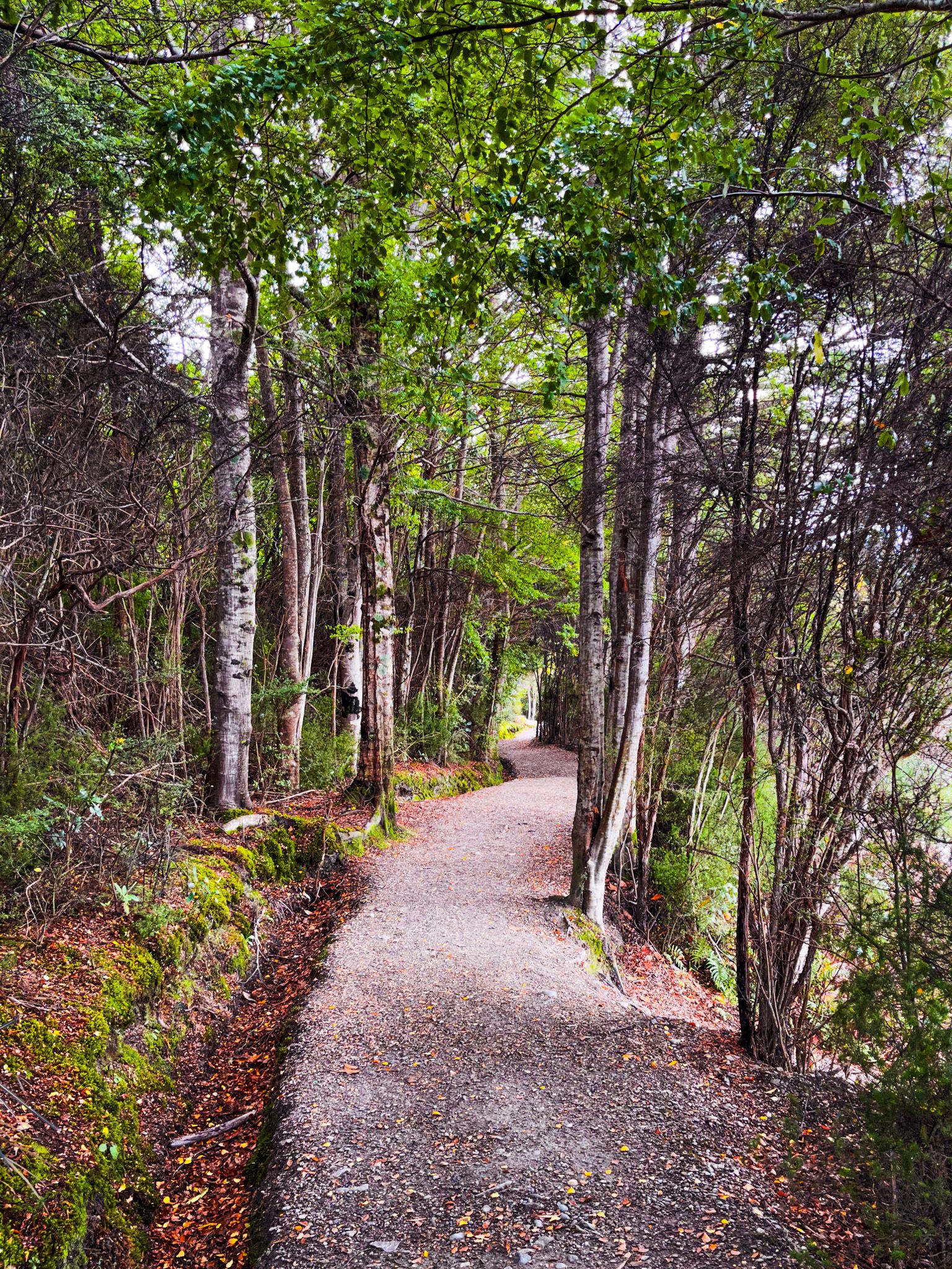
Bobs Cove Track is divided into two distinct sections. The first part of the walk begins at the car park and leads you through a lovely section of native forest. In Spring, the forest is adorned with clematis flowers, while Summer brings the vibrant red blooms of the rātā.
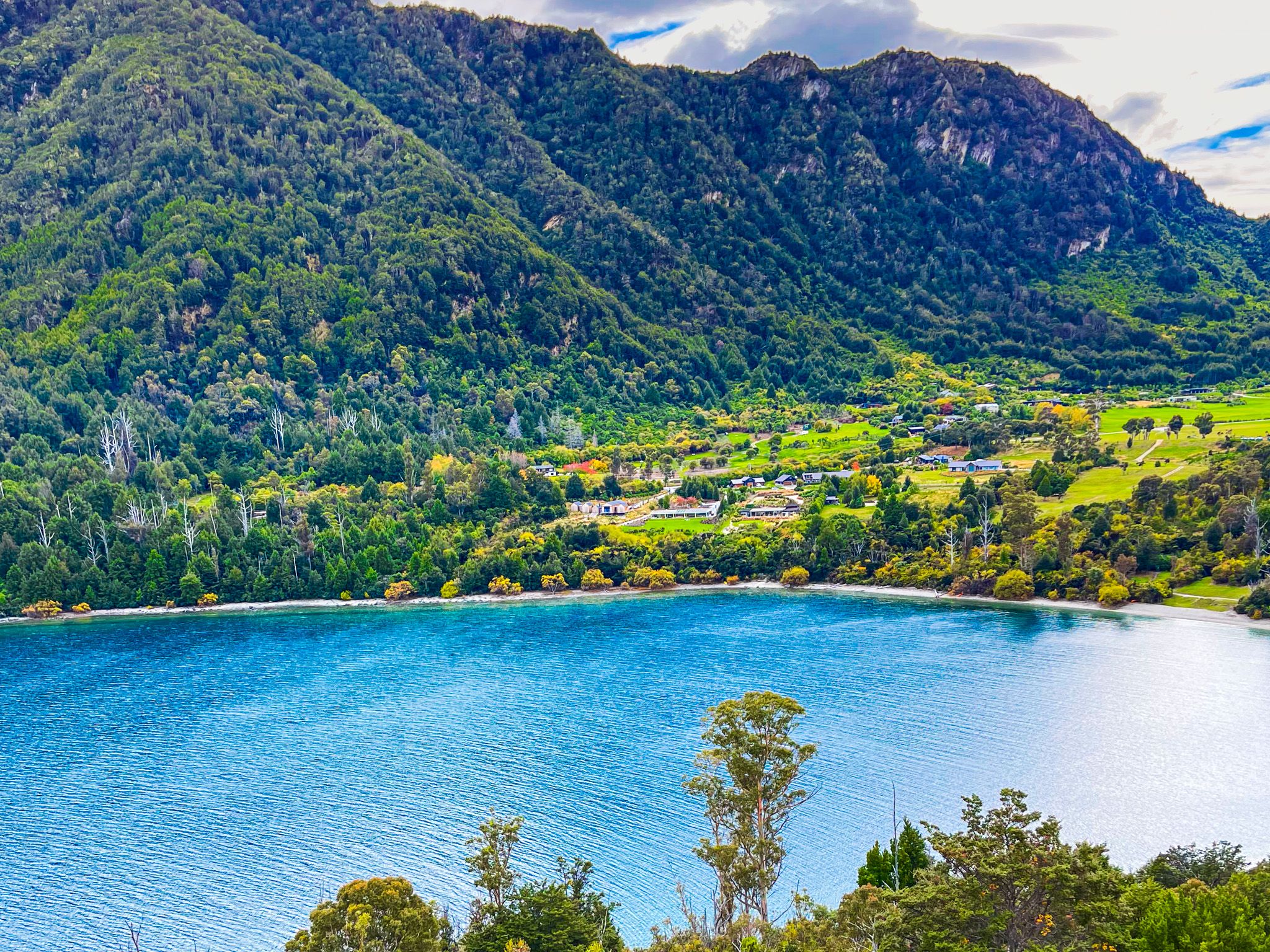
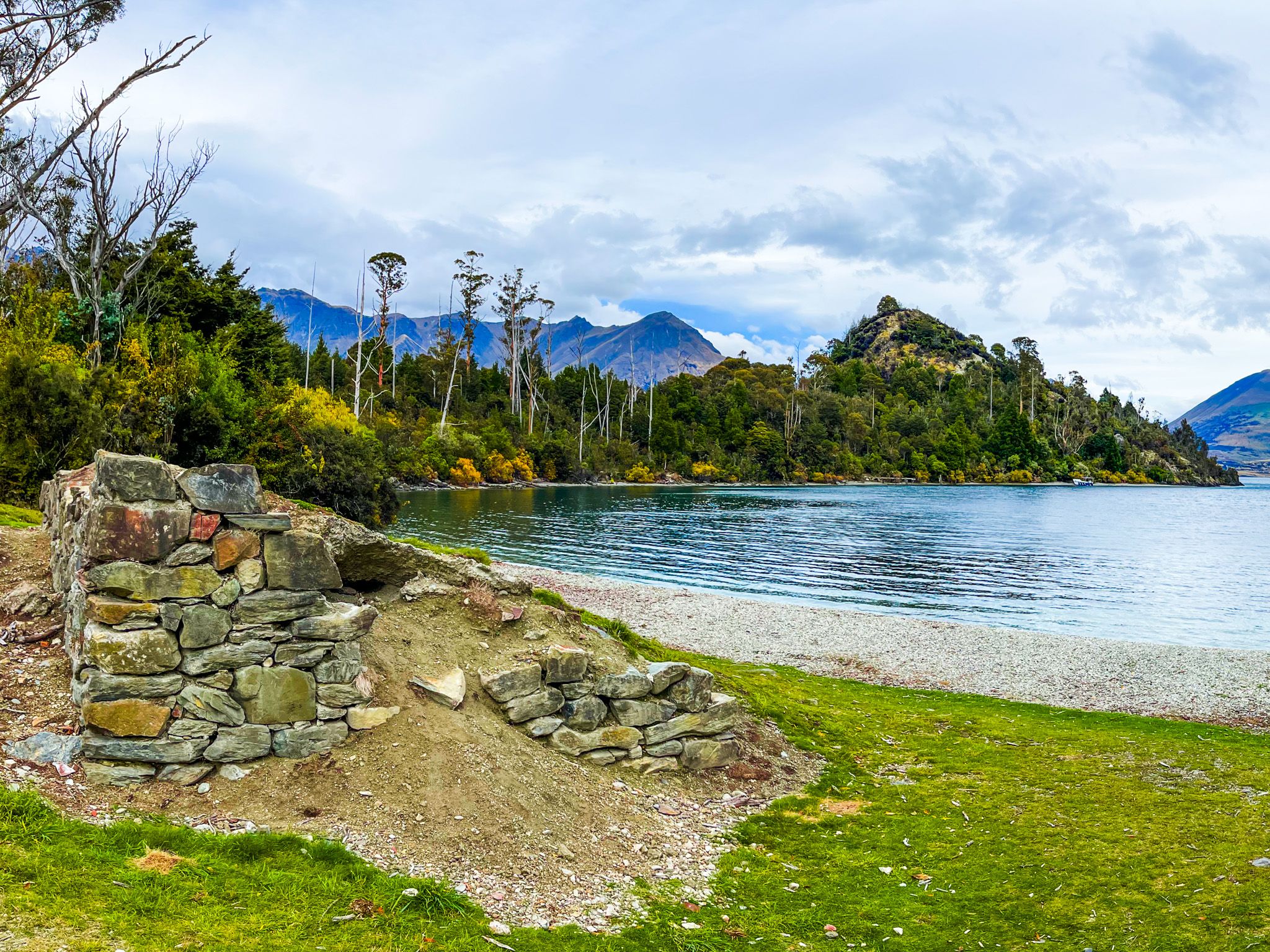
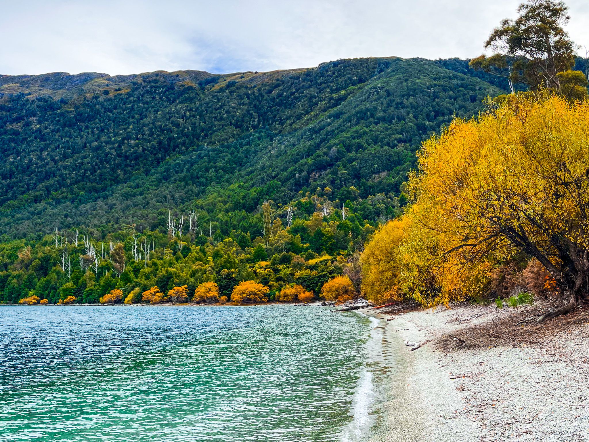
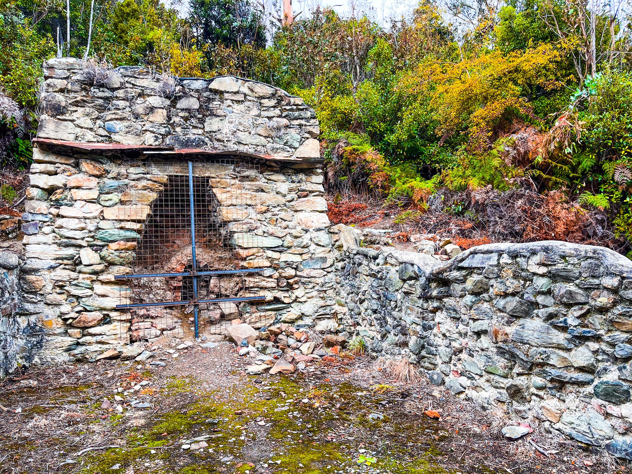
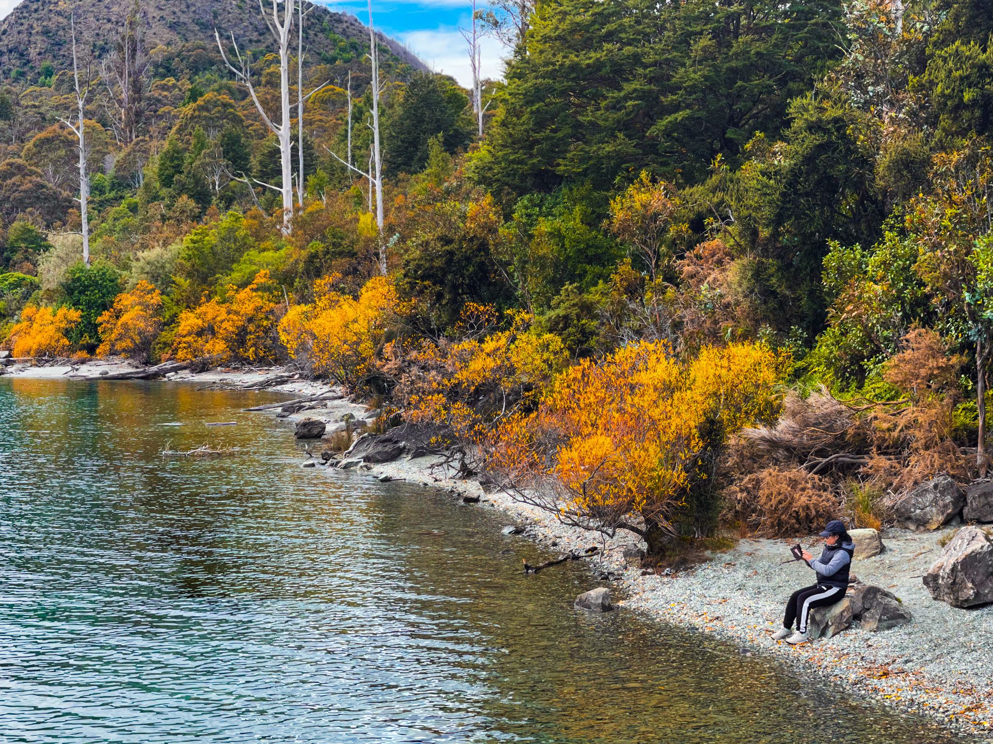
After a few minutes, you will arrive at the picturesque cove on Lake Wakatipu's edge. Here, you can explore the remains of a limestone kiln from the 1800s, a reminder of the cove's industrial past. The sheltered waters of the cove make it a popular and safe spot for swimming.
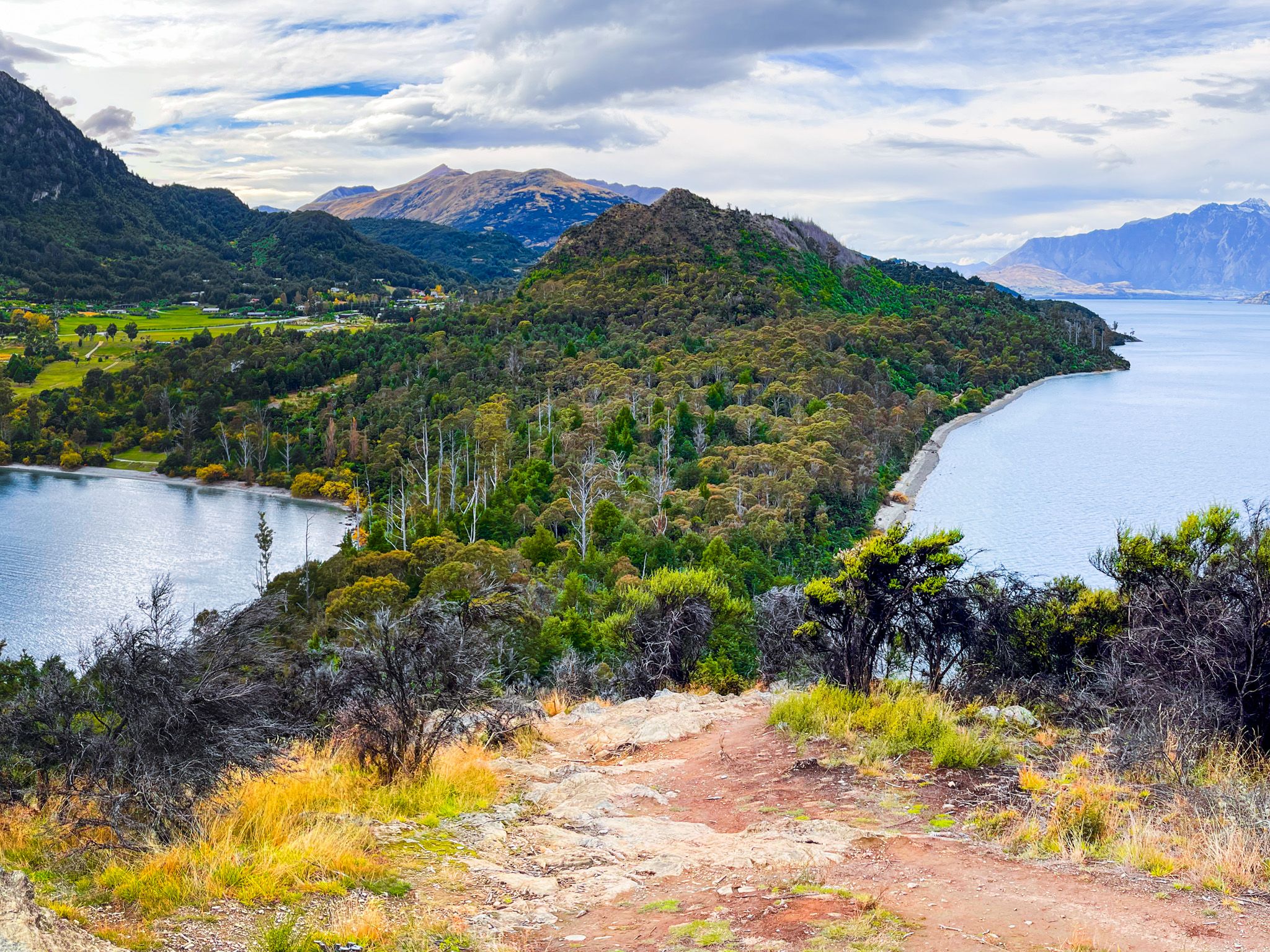
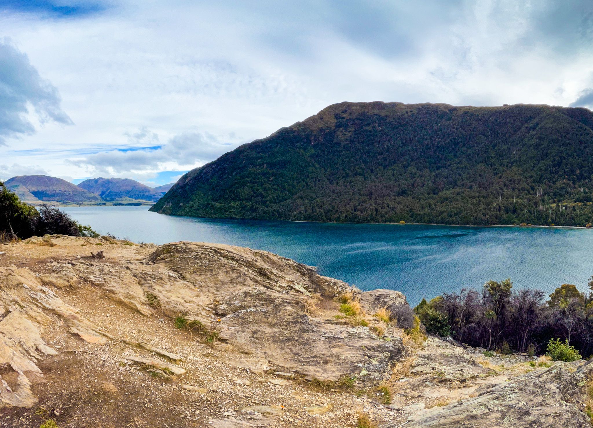
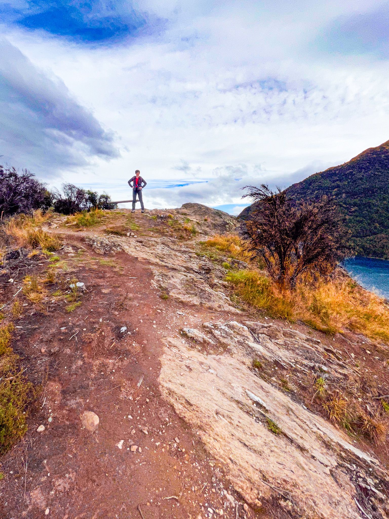
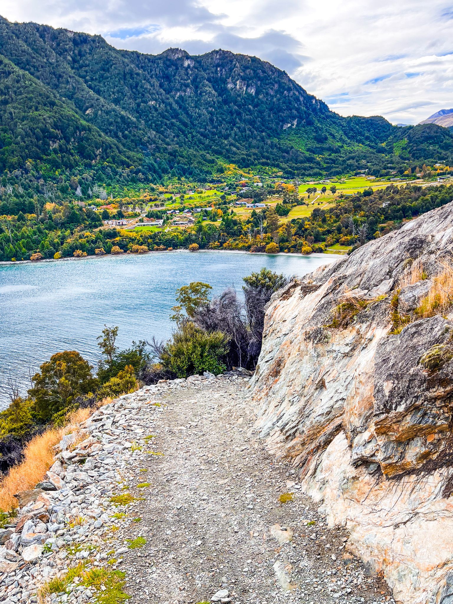
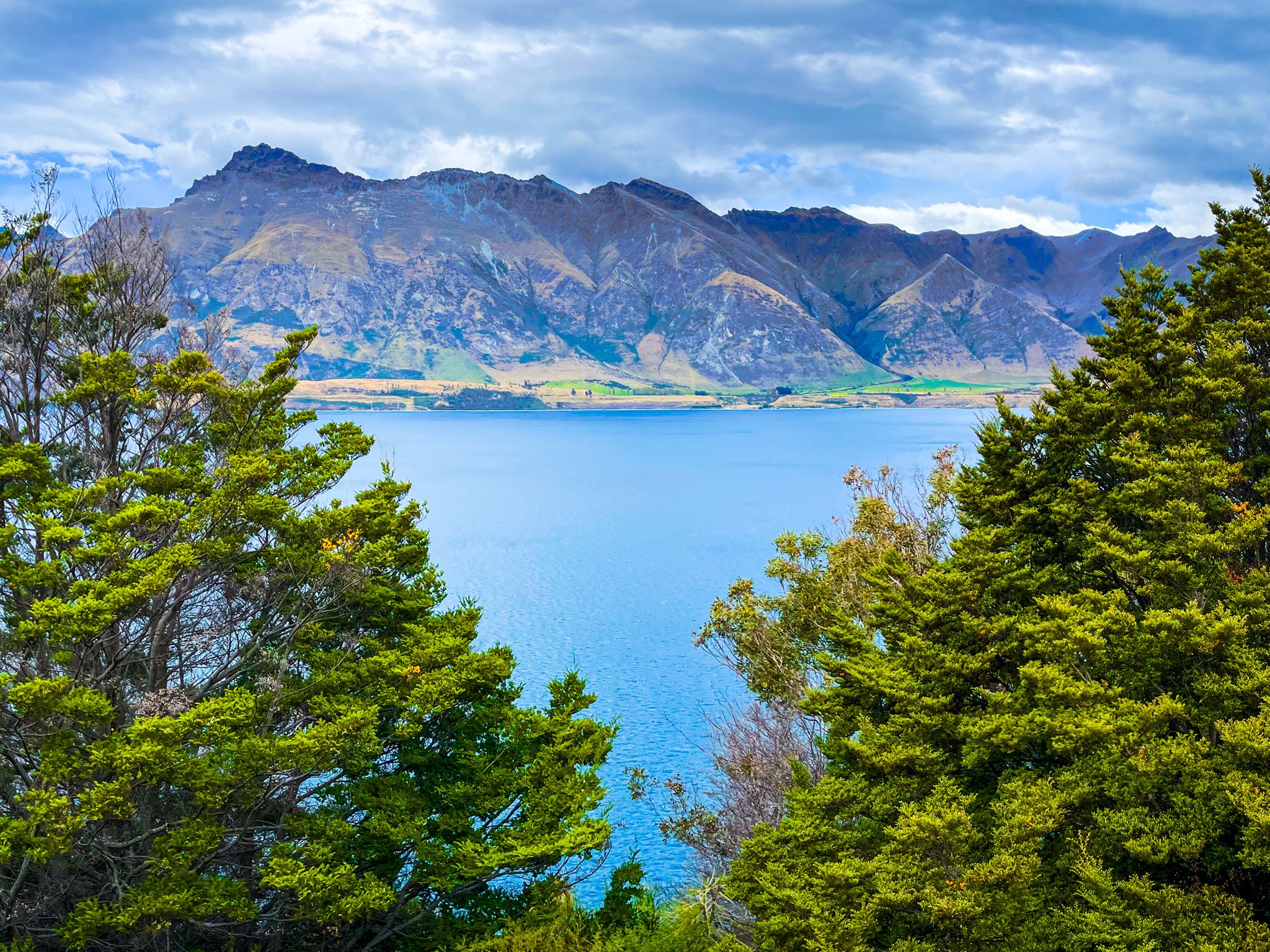
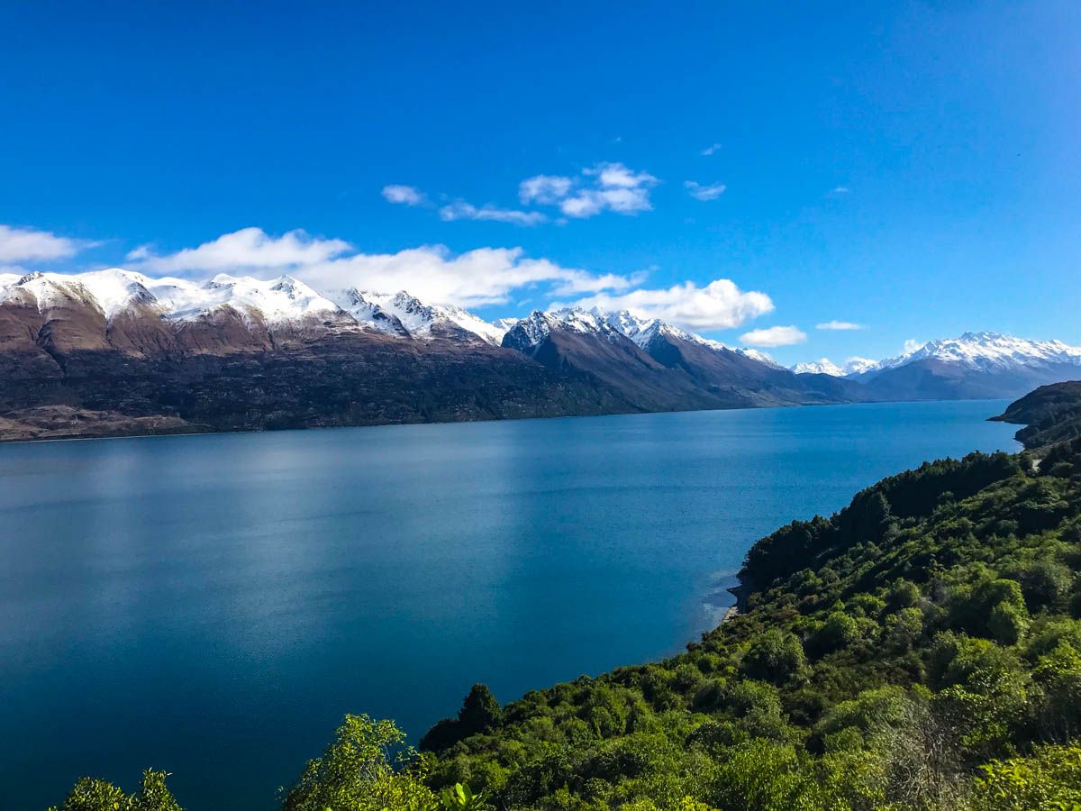
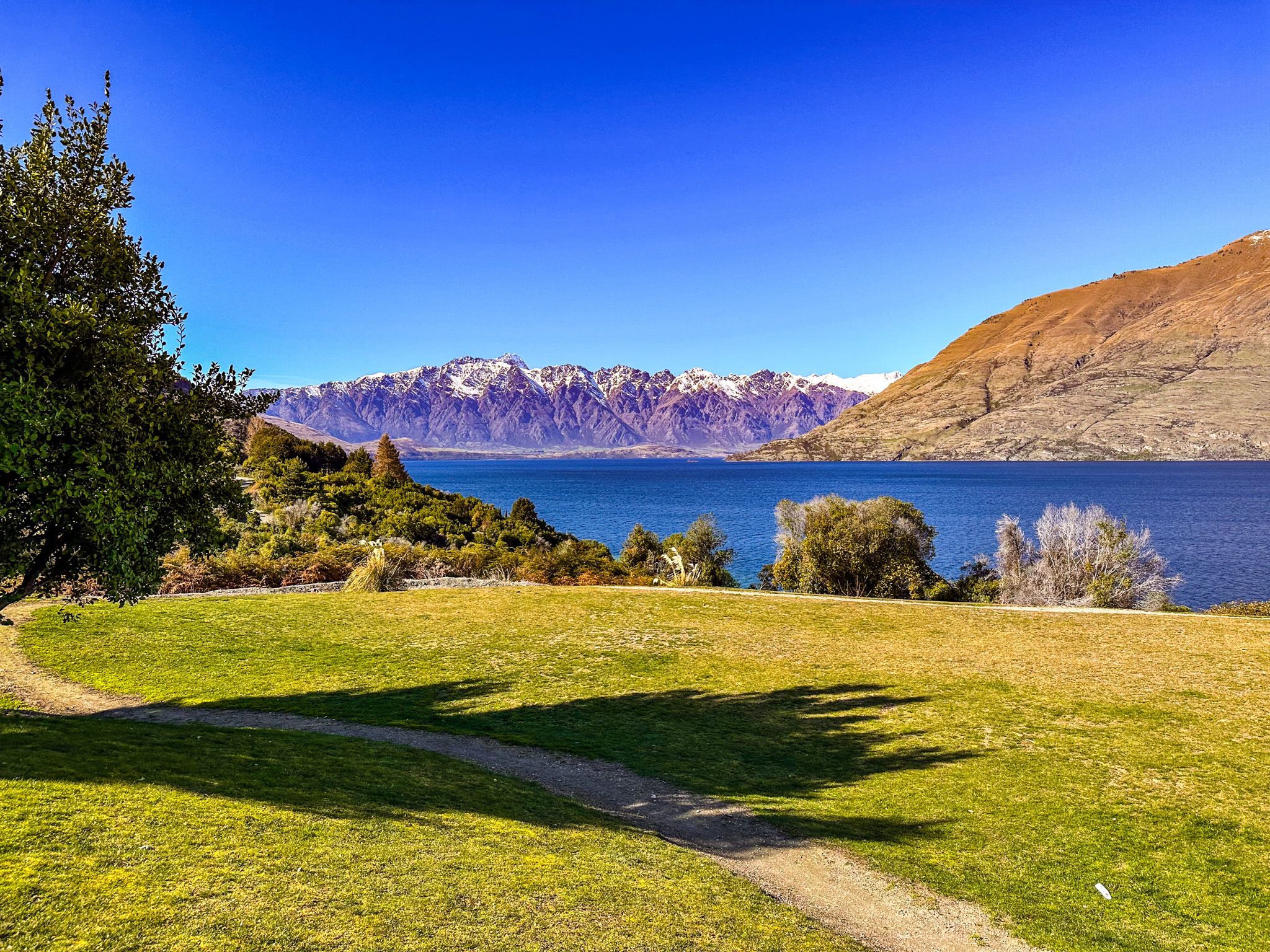
The second section of the track involves a short but steep climb to the top of a limestone promontory at Picnic Point, which stands 67 metres above the lake. This promontory was once quarried for limestone to supply the kilns. Despite this, it remains intact, with superb views from the rock platform. From here, you can see across the cove and eastward along the lake towards Cecil Peak and The Remarkables. The descent takes you through a loop of native shrubs and beech trees.

Geological and Historical Significance
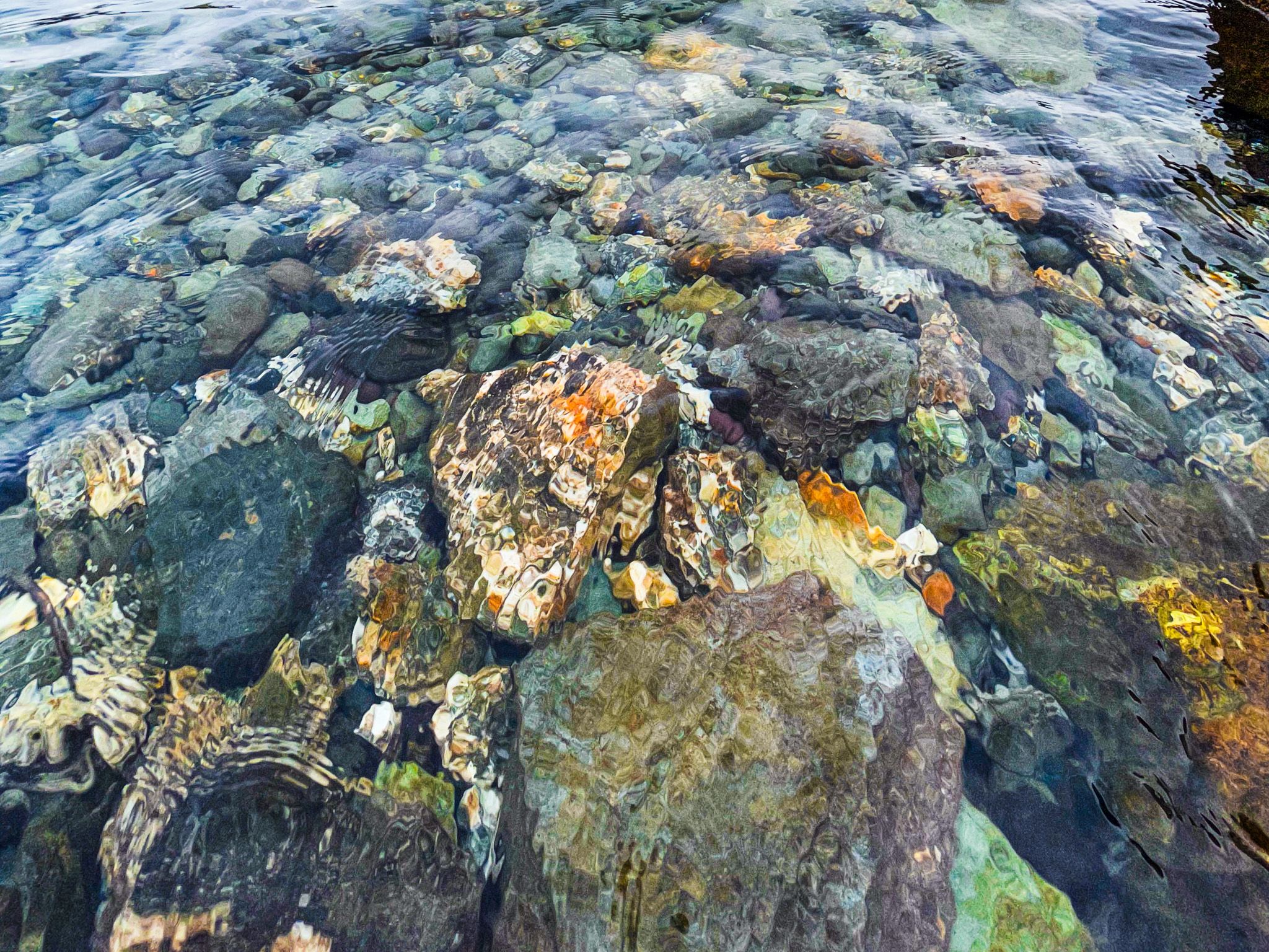
The limestone at Bobs Cove is a distinctive feature of Lake Wakatipu’s geology. Between 40 million and 20 million years ago, the area was covered by the shallow Moonlight Sea, which deposited layers of fossils and limestone up to 200 metres deep. These limestone strata are visible along the roadside, and seashell fossils are found along the lake's edge, particularly at Farry’s Beach.
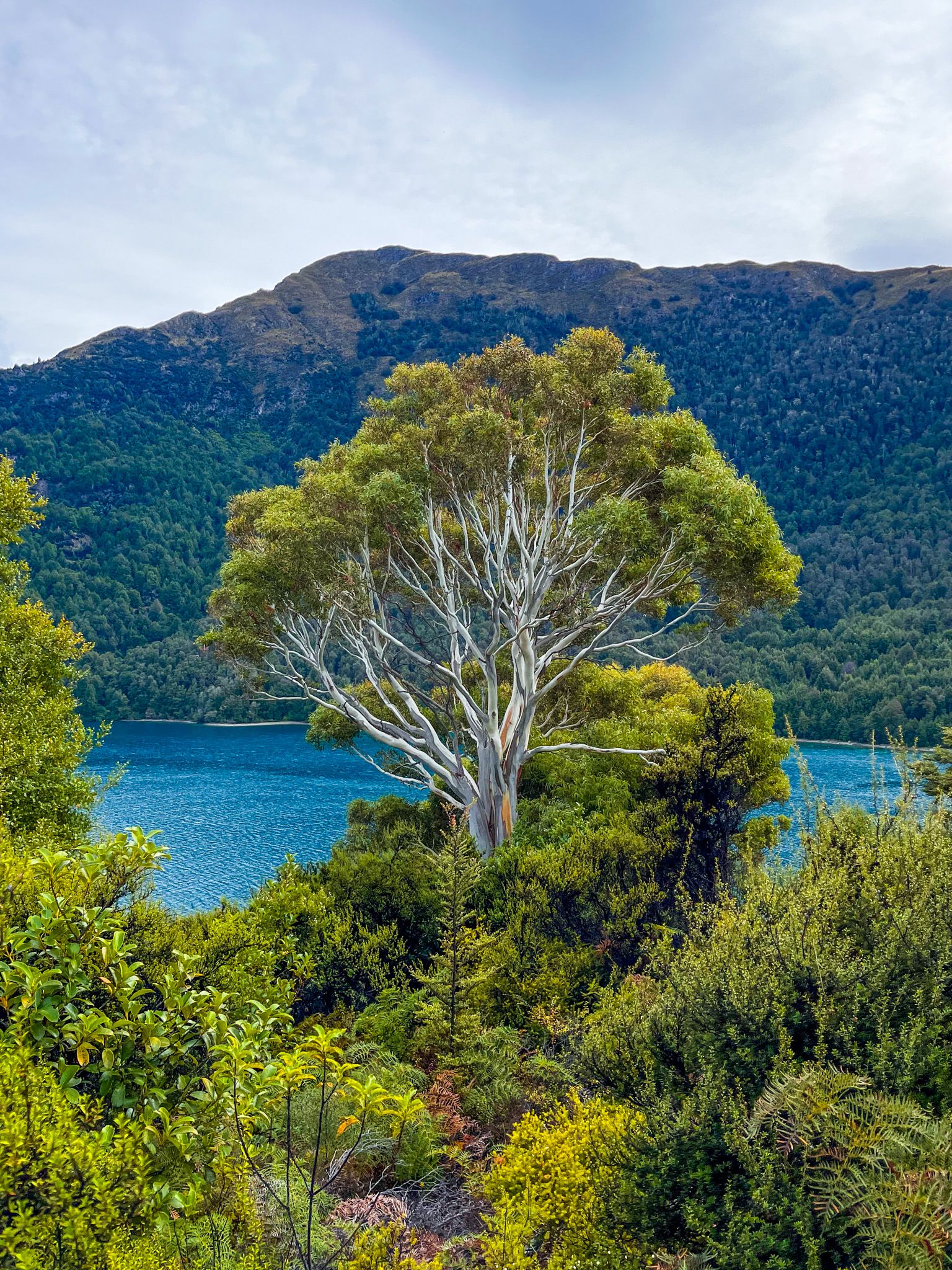
Historically, Bobs Cove was a popular picnic destination, accessible by ferry until a bridle track was established. The Wakatipu Lime Company once operated here, with seven kilns and eucalypt trees planted for fuel to produce lime-based cement. As alternative products emerged, the business declined, and the area became a reserve. Native vegetation is gradually reclaiming the land, overtaking the eucalypts, while exotic species like willows add autumnal colour to the cove's edge.
Cultural Heritage
Ngāi Tahu named the cove Te Punatapu and used it as a campsite on the pounamu trail leading to the lake's northern end and over the Routeburn to the Hollyford Valley. The name translates to "the sacred pool," with the surrounding hills known as Ka Puke-tapu, or "the sacred hills." The European name, Bobs Cove, comes from Bob Fortune, a lake boat commander for Queenstown's founder, William Rees. The official name is, believe it or not, "Fortune Cove or Bobs Cove."
Getting to Bobs Cove
To reach Bobs Cove, drive 15 minutes from central Queenstown along the Glenorchy Queenstown Road.
Nearby, you can also explore the Mt Crichton Track, Seven Mile Point and follow the road north to Glenorchy.