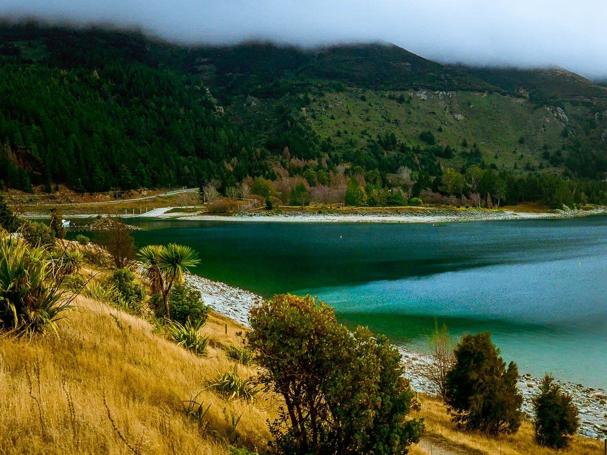
Te Araroa's Steep Climb above Lake Hāwea
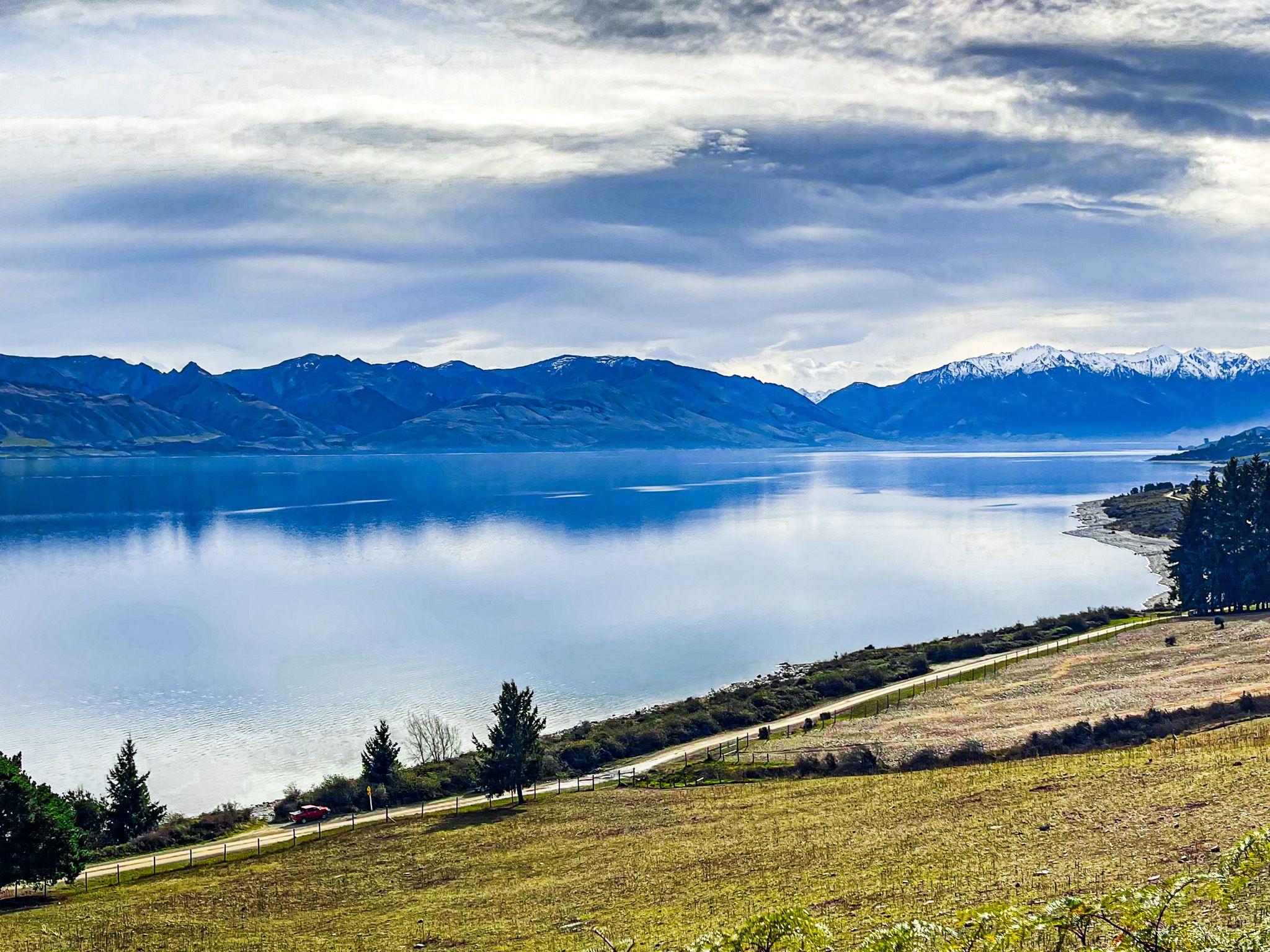
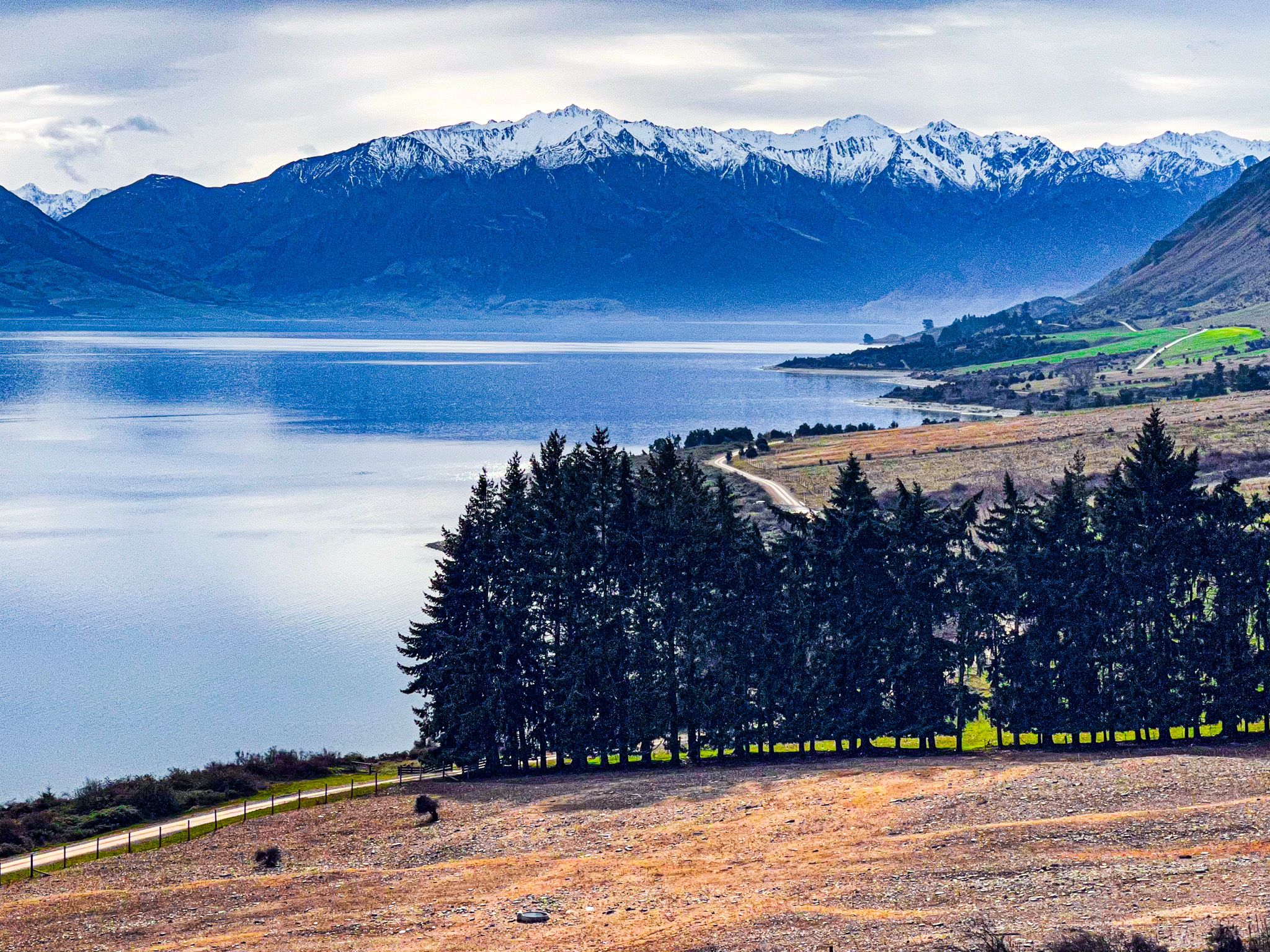
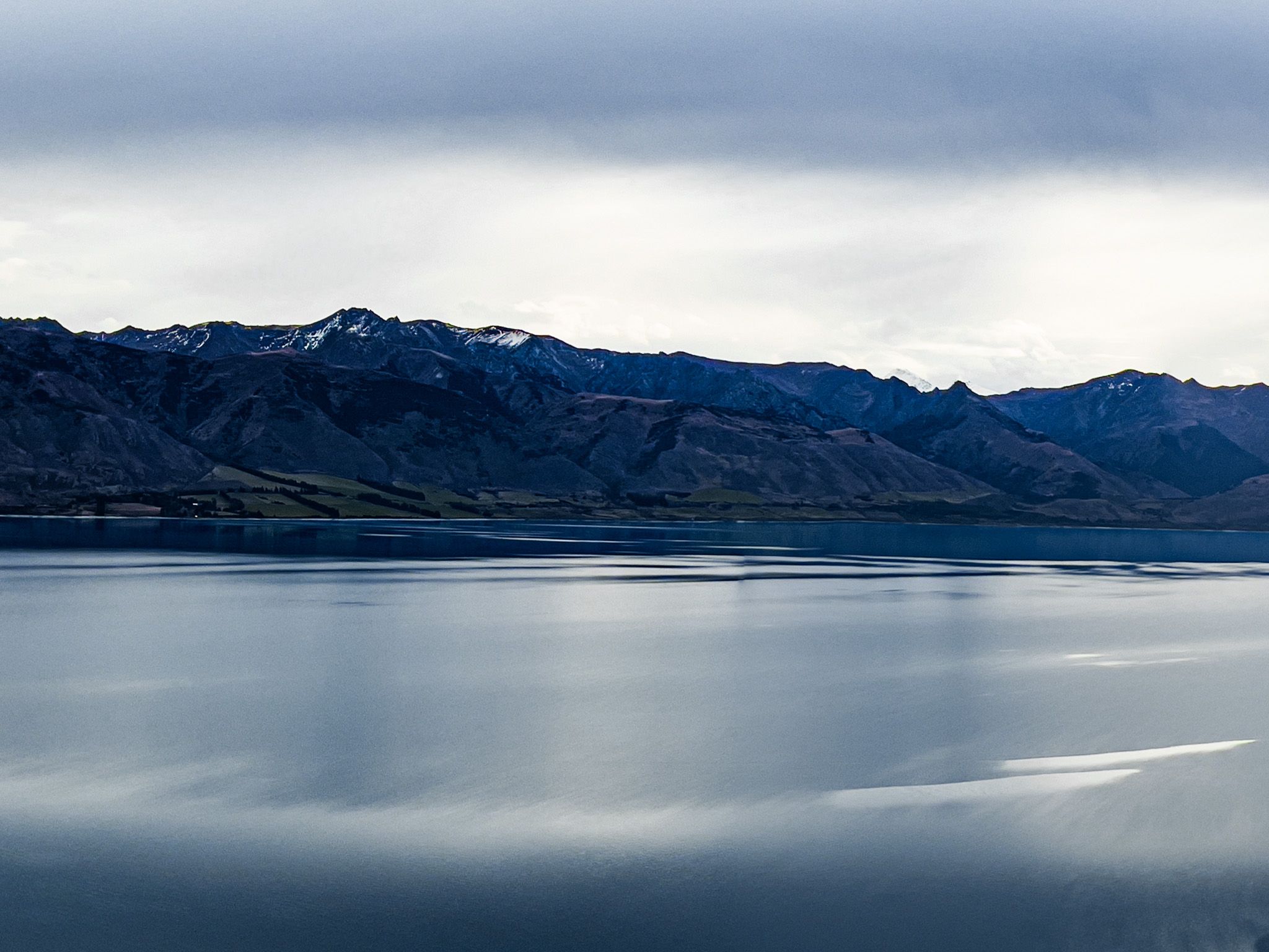
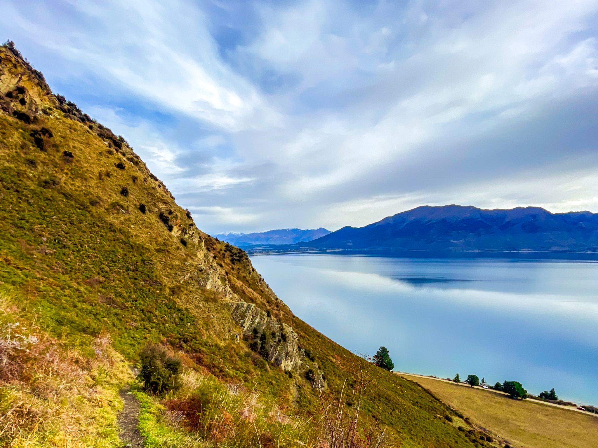
The Breast Hill Track to Pakituhi Hut and Breast Hill rises sharply from Timaru Creek Road on the eastern shore of Lake Hāwea. This is the southern end of the Breast Hill section of Te Araroa, the trail traversing the length of New Zealand, and it is described by Te Araroa's own guides as one of the route's highlights. The climb is relentless, gaining close to 950 metres from the road to the hut at 1,300 metres, but the views of Lake Hāwea and the surrounding ranges open almost immediately and stay with you the whole way up.
The Track to the Hut
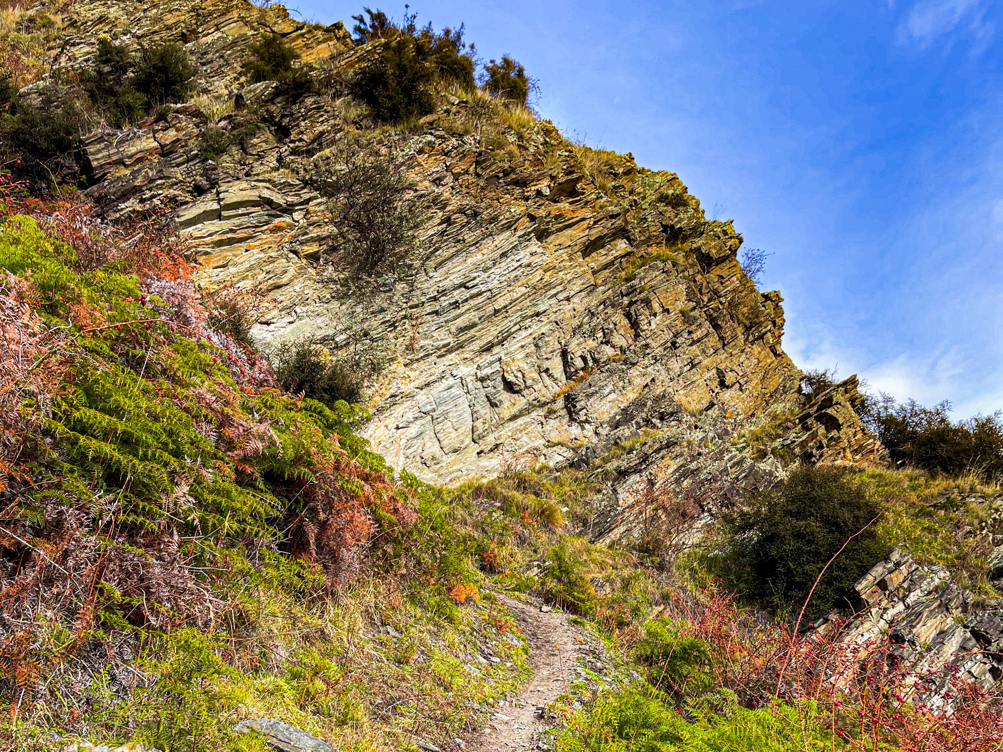
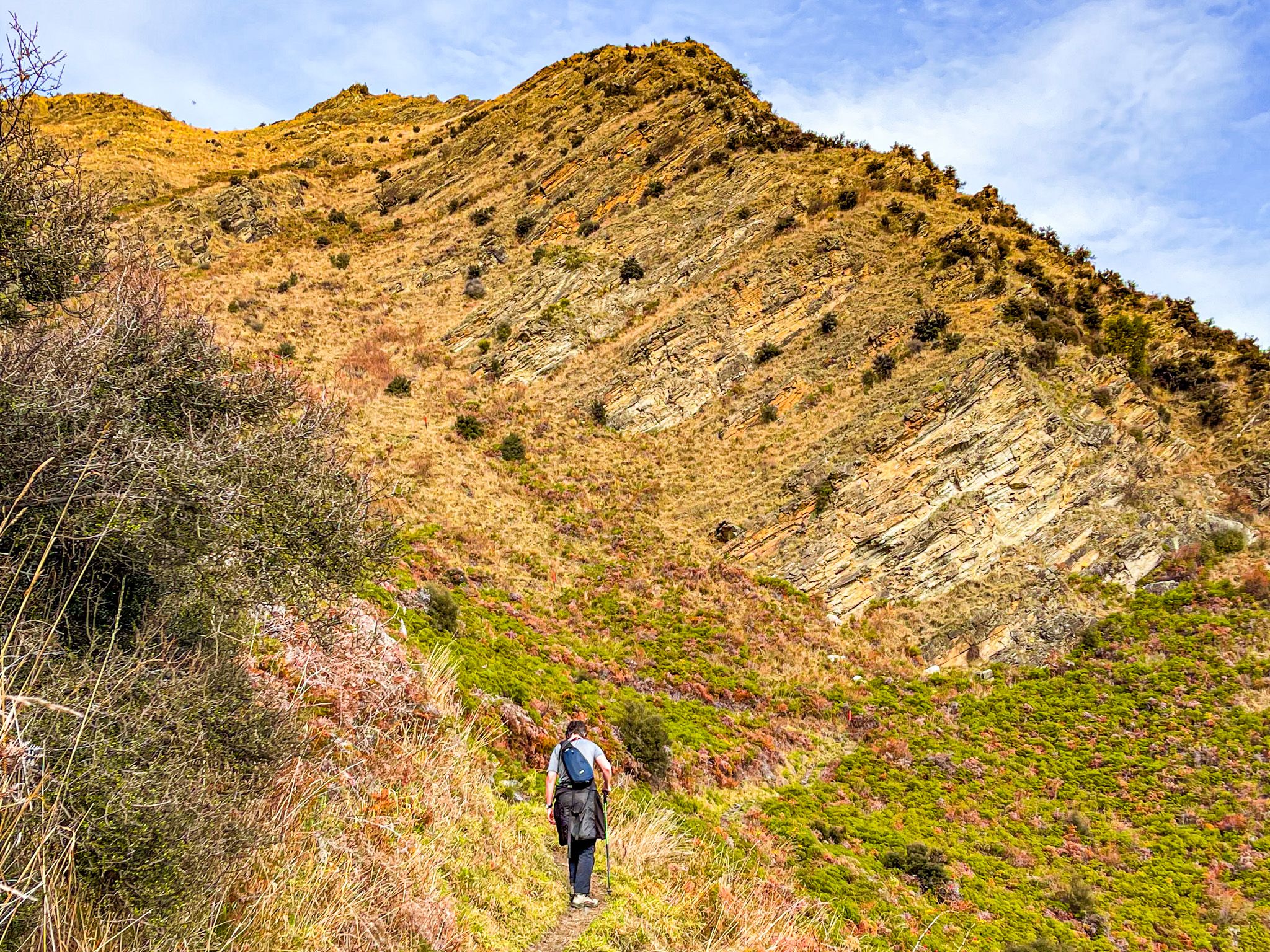
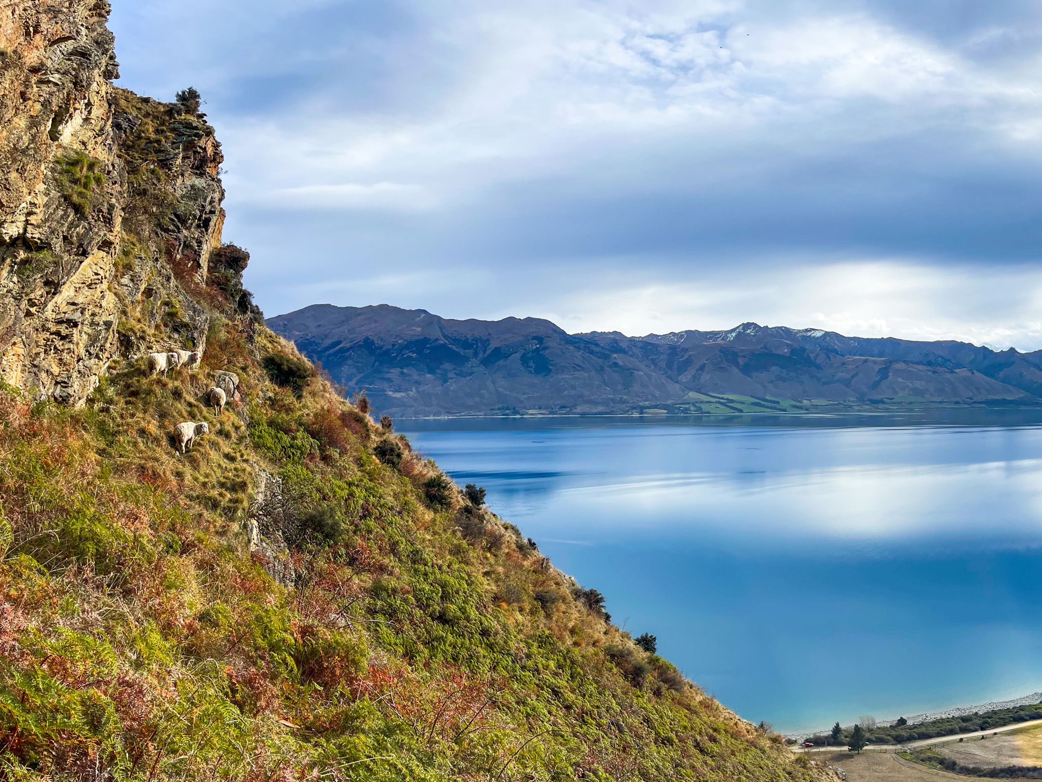
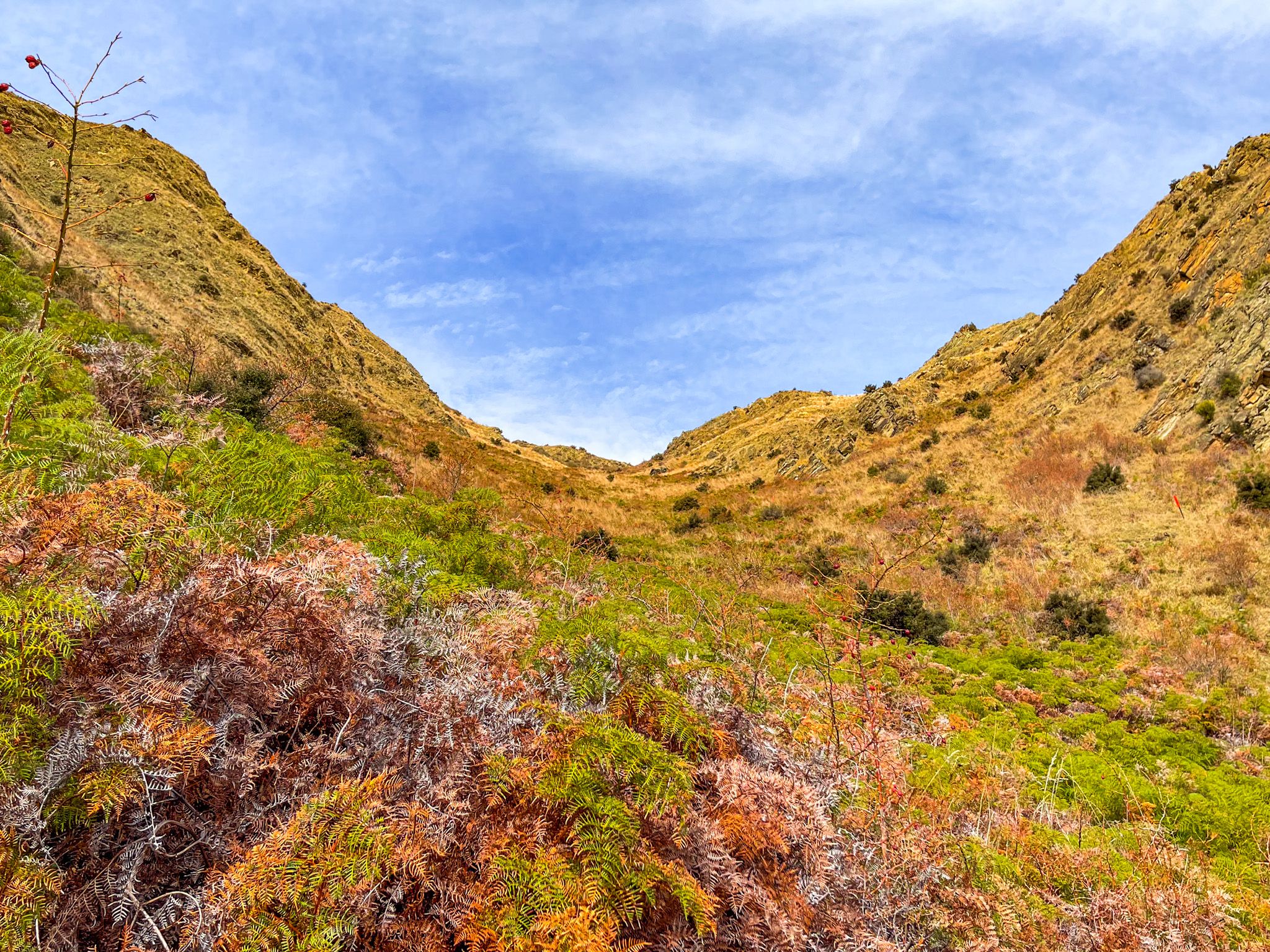
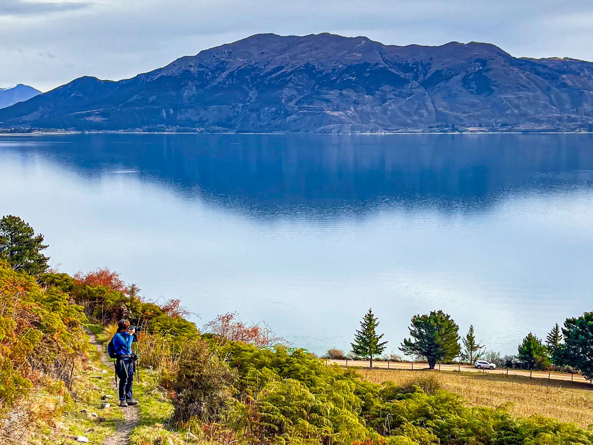
From roadside car parking, the track begins with a walk up a steep paddock, then a series of switchbacks that gain elevation quickly through tussock and scrub. The gradient is serious at the start, but the switchbacks are more manageable, albeit the track is rough underfoot. The route is entirely exposed to the sun on fine days. Watch out for merino sheep, who seem to take the nearby steep slopes and drops to the south of the track entirely in their stride.
After the initial climb, about 45 minutes to an hour, the track reaches the first ridge. The views are stupendous from here, and you can settle in for a break or use this as a turnaround point.
From the first ridge, the track has steep drop-offs on both sides in places, which makes it unsuitable for those uncomfortable with exposure. For the entire hike, navigation is straightforward, with orange markers and signposted junctions throughout. The hut is a DOC facility at 1,300 metres and sits in a sheltered saddle just off the main ridge.
Pakituhi Hut and Breast Hill
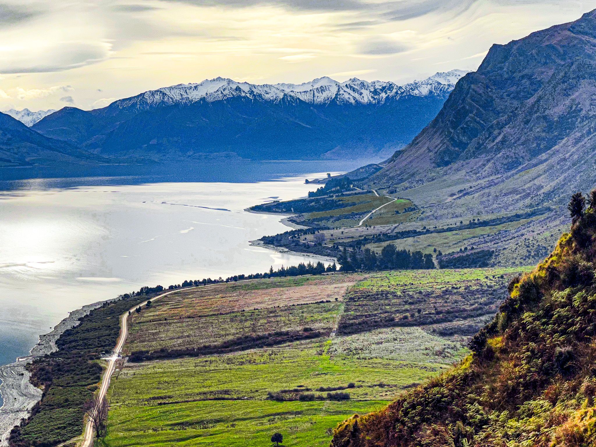
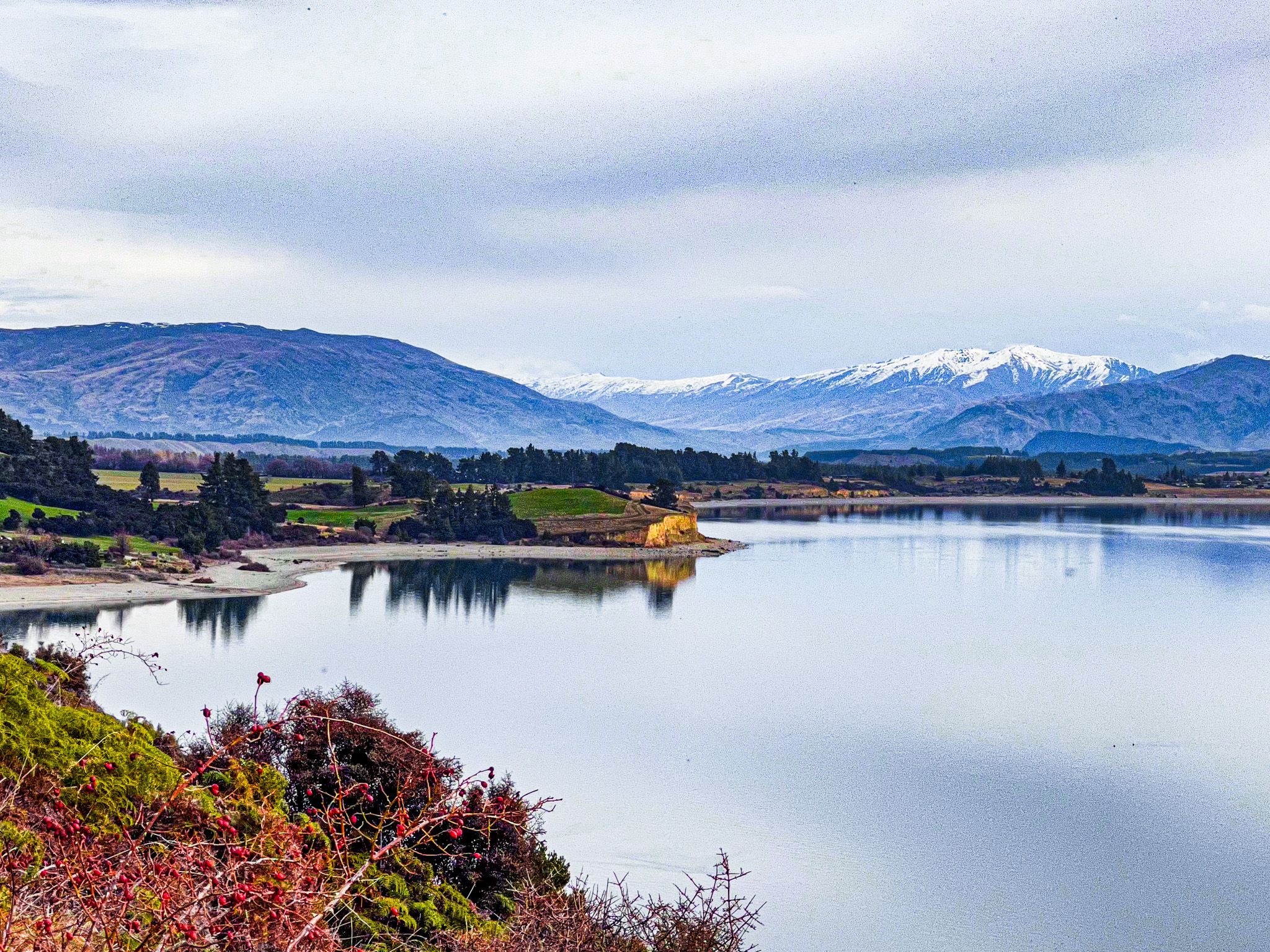
Pakituhi Hut is simple and well-maintained, with mattresses, a water tank, and a long-drop toilet. Because it sits on Te Araroa, it can be busy in summer. From the hut, the ridge continues north to the summit of Breast Hill at 1,578 metres. The track along the tops has views over the lake far below and, to the west, the heavily glaciated landscape around Tititea / Mt Aspiring. Don’t confuse Breast Peak with Breat Hill, at 1,456 metres, a separate, and slightly lower summit to the south of the hut.
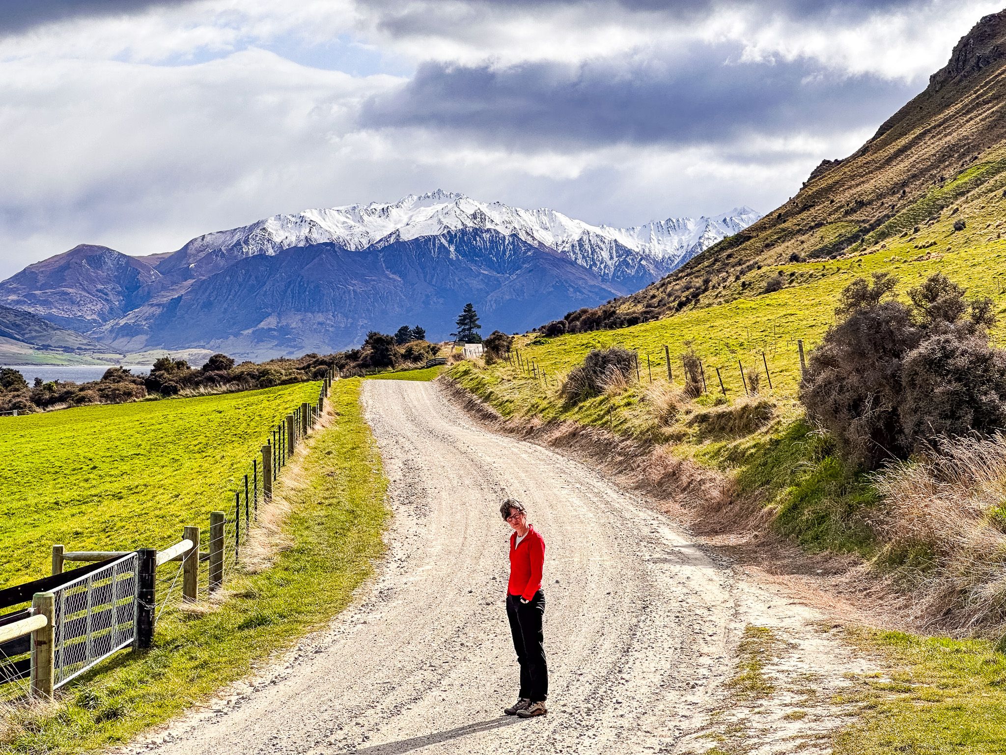
The descent from Breast Hill continues northeast, which links with the Timaru River Track. From there, you can continue east to the Ahuriri Valley on Te Araroa, or do a loop via the Lower Timaru River Track through Hāwea Conservation Park back to the road at Timaru Creek Reserve.
How to Get There
From Lake Hāwea township, drive north on Gladstone Road, which becomes Timaru Creek Road. The Breast Hill Track trailhead is on the right-hand side of the road, approximately six kilometres from town, with limited roadside car parking around 300 metres further north. The road is gravel but suitable for most vehicles in good conditions. There is a larger car park with public toilets at John Creek, about one kilometre south of the trailhead. You can generally walk the trail in Winter, but it is advisable to check conditions with DOC Wānaka after heavy rain or snow, as the upper ridge is fully exposed and can be icy.
Other places to explore around and near the lake include Lake Hāwea Track, Hāwea River Track, Grandview Mountain Track, the Hāwea Dam, the Isthmus Peak Track, Kidds Bush and the Sawyer Burn Track.