Discover the Ahuriri Valley in Canterbury
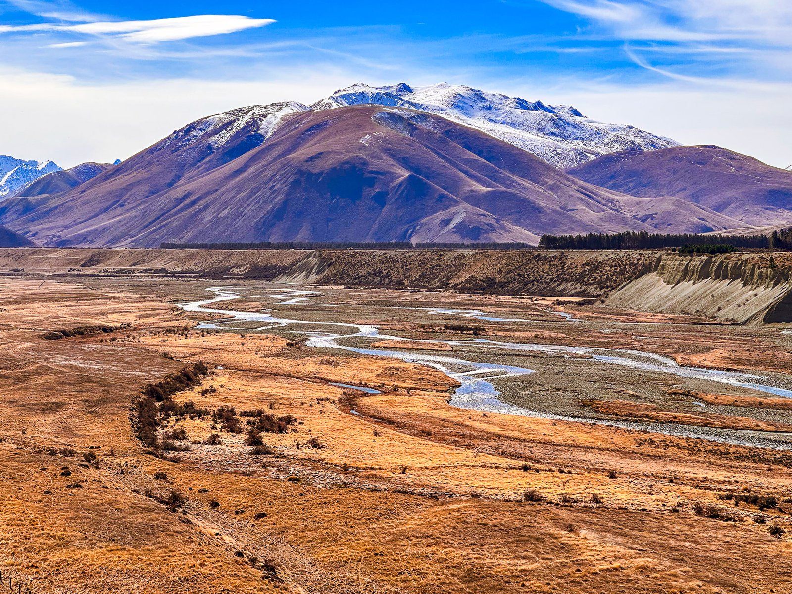
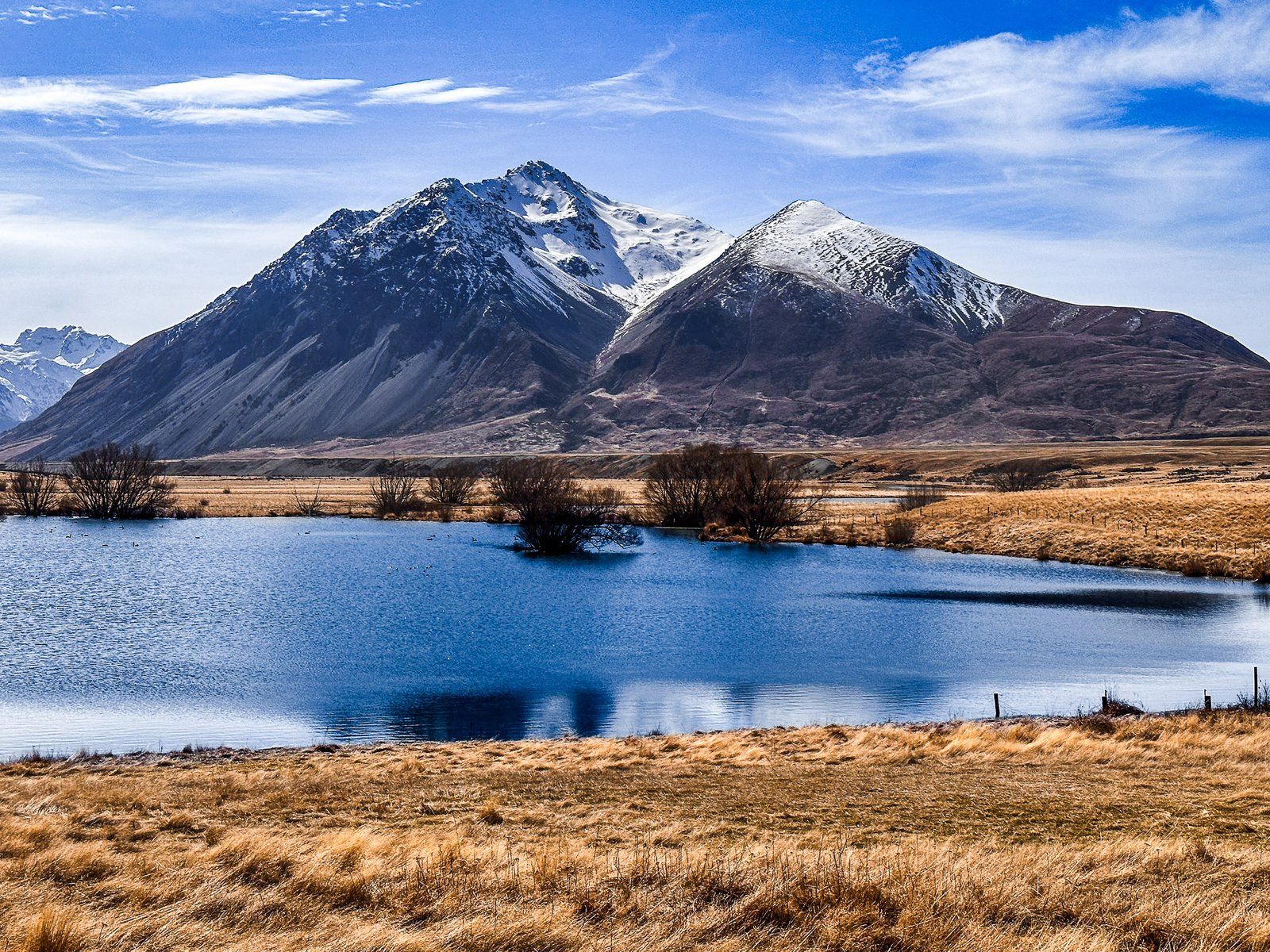
The Ahuriri Valley is a striking glacial valley located on the eastern side of the Main Divide of the Southern Alps in Canterbury. This area is accessed via Birchwood Road and features dramatic landscapes, including the Ahuriri River and towering mountains that rise from approximately 1200 metres at the southern end to over 2200 metres as the valley narrows to the north, flanked by the Huxley and Barrier Ranges, for a stunning alpine backdrop.
Exploring the Valley's Landscape
The initial stretch of the Ahuriri Valley is relatively dry and home to the high-country sheep stations, Ben Avon and Longslip. These stations provide easement access to conservation lands and mountains on either side of the valley, as well as various hiking tracks.
As you drive through Ben Avon and Longslip, you enter the expansive 49,000-hectare Ahuriri Conservation Park. This area, formerly Birchwood Station, was acquired by the Nature Heritage Fund in 2004, and the Birchwood Picnic Area is an attractive location centred on several farm buildings. Here, the valley narrows, and beech forests begin to appear on the mountain slopes, often snow-capped in winter. There is also the Ben Avon Wetlands, an attractive area shortly before you reach the picnic area.
The valley's glacial history is evident, having been carved out by the Ahuriri Glacier during the last ice age. Although the glacier once extended 40 km from Mount Huxley at the head of the valley, today only high remnant glaciers remain, with the largest being Thurneysen Glacier on the south side of Mount Barth.
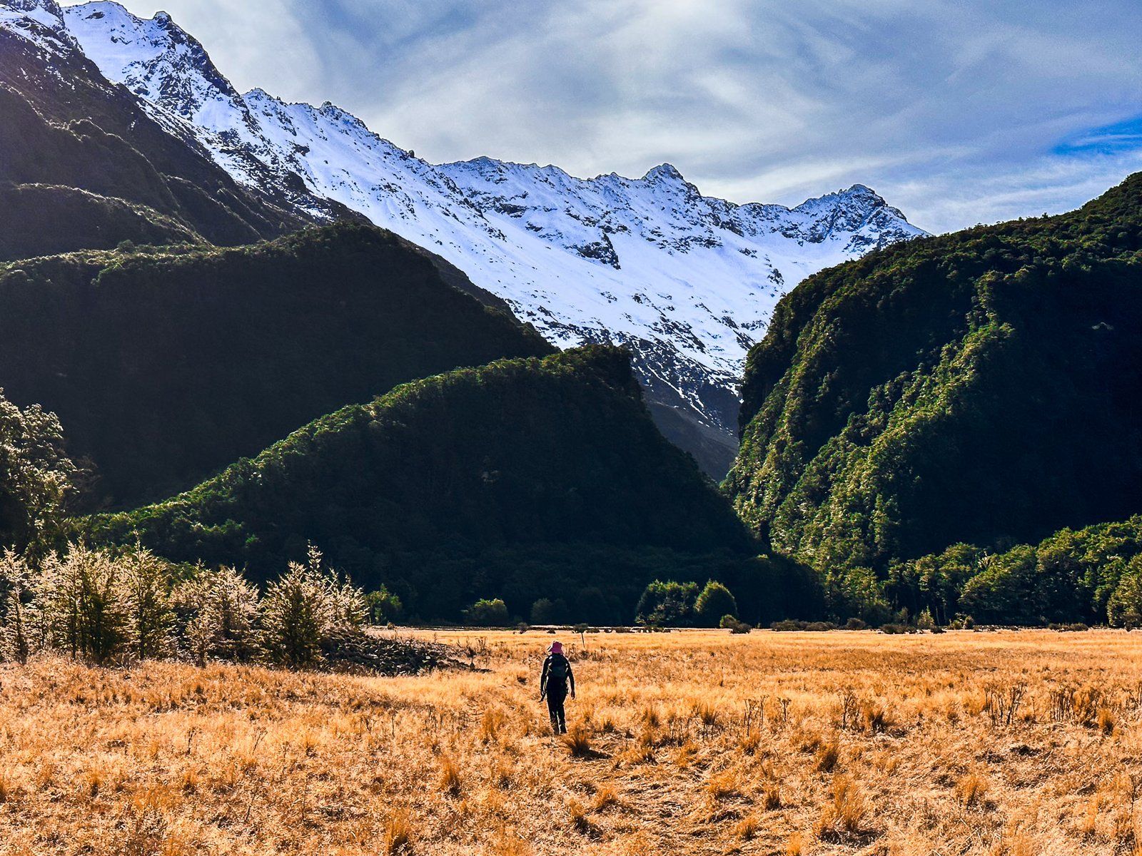
Hiking and Camping Opportunities
The Ahuriri Valley has several hiking opportunities, including the Ahuriri Valley Track and the Canyon Creek Track in the Huxley Range. The conservation land allows camping anywhere, and several small DOC huts are available.
There are also several long-distance tracks that run from the valley into the nearby mountains, while Te Araroa crosses the valley about 14 km along Birchwood Road.
Cultural Significance
The Ahuriri Valley is significant for the Ngāi Tahu iwi, named after the rangatira Tu Ahuriri. Historically, it served as a route to access pounamu (greenstone) on the West Coast, though it was more challenging than the Lindis Pass. The valley was also used as a kāika nohoaka (seasonal settlement) and kāika mahika kai (food-gathering place).
How to Get There
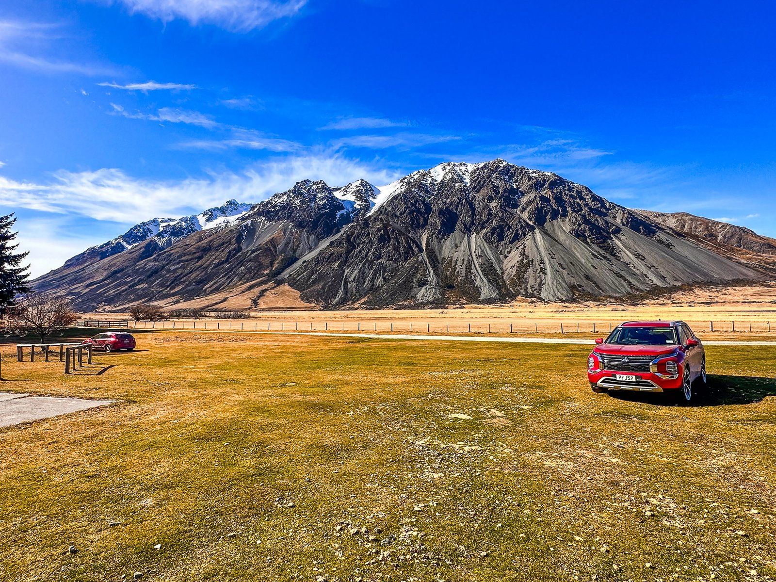
To reach the Ahuriri Valley, take Birchwood Road, which branches off from State Highway 8 near the northern end of Lindis Pass. You can drive a 2WD car to the Birchwood Picnic Area. Beyond this, a 4WD vehicle is required to continue to the end of Birchwood Road, about 40 k up the valley. To get there from Queenstown, it’s a 2-hour, 152 km drive. From Christchurch, the drive is 4 hours and 330 km.
Nearby places to visit include Lindis Pass, Clay Cliffs, Lake Ōhau, the Hopkins Valley and the Mackenzie Country.