Explore Cape Rodney to Mangawhai Heads
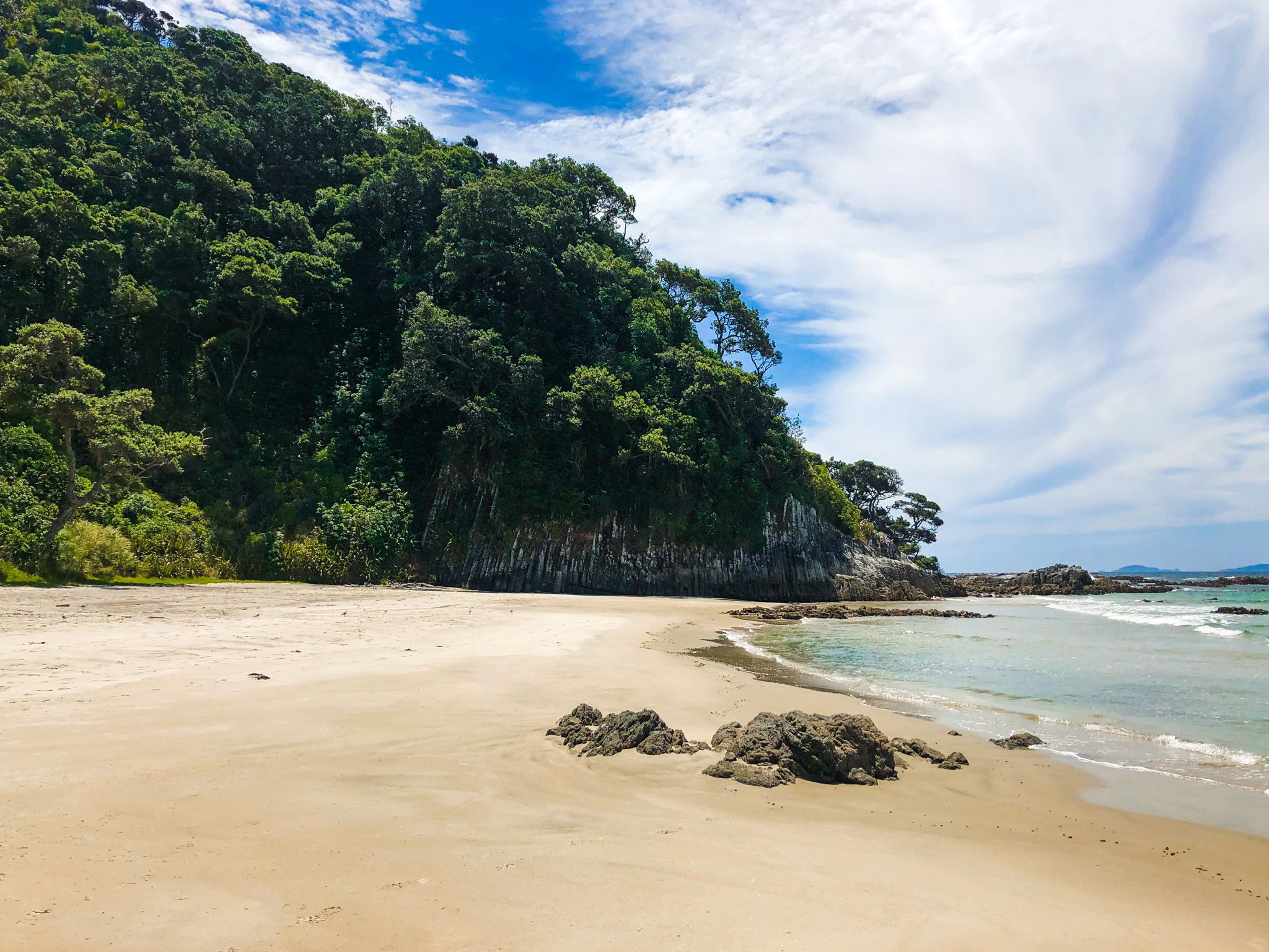
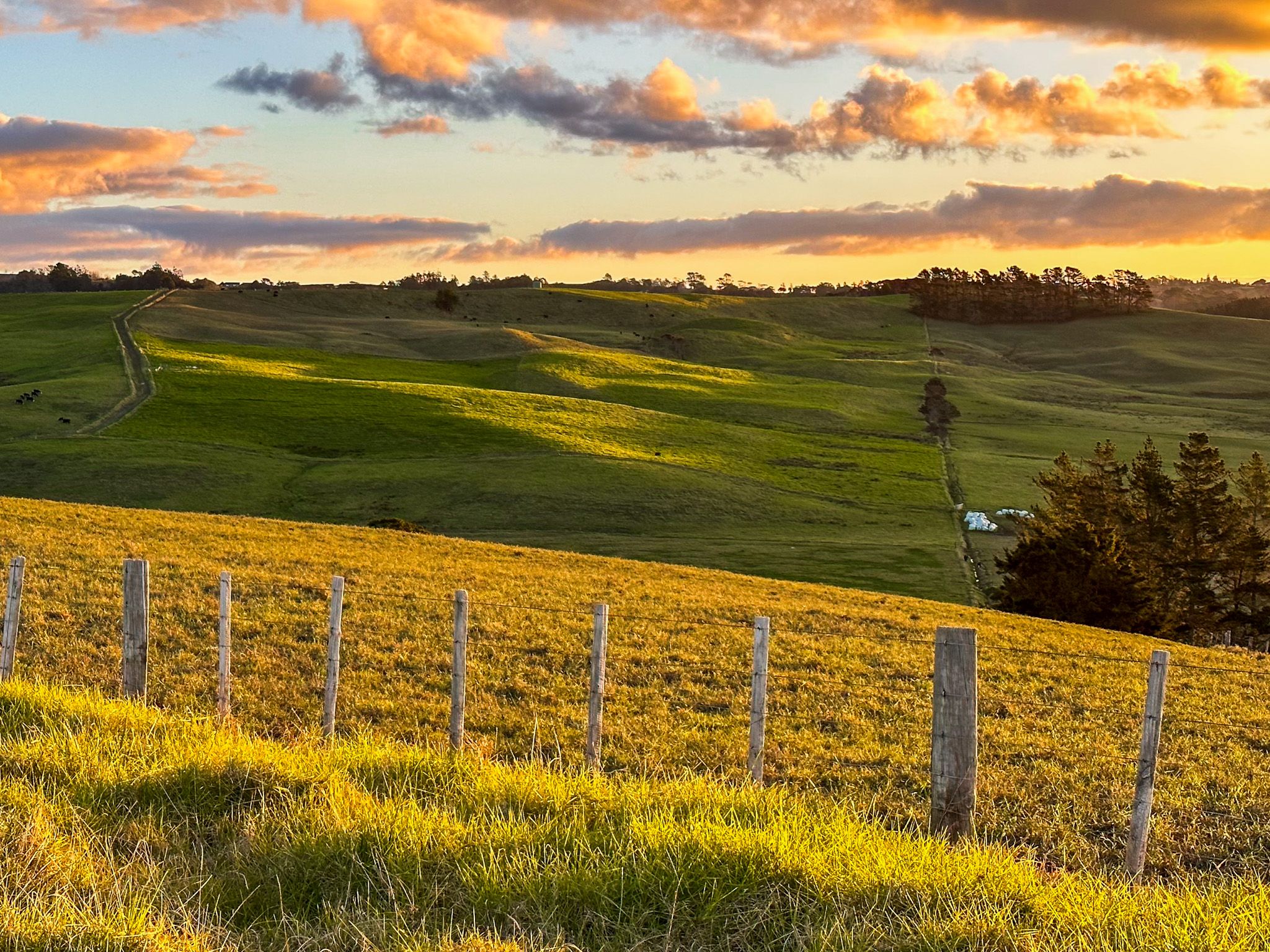
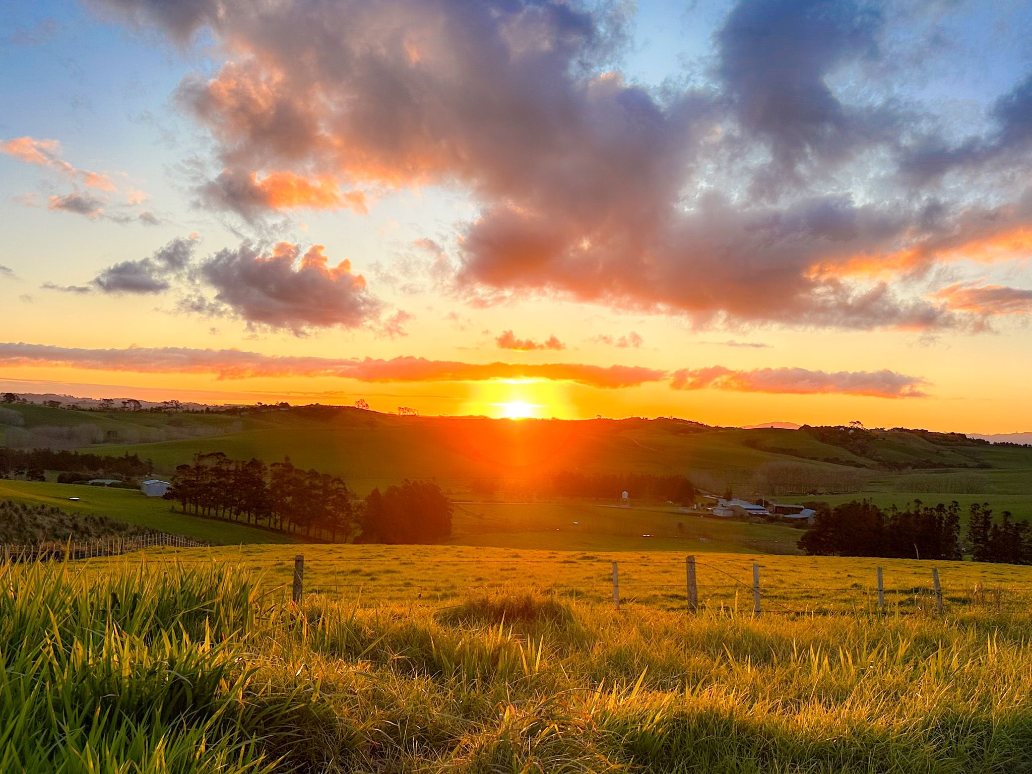
The northeast coast of Auckland, just north of the Hauraki Gulf / Tīkapa Moana, features a mostly unnamed, long stretch of white sand surf beach between Cape Rodney and Mangawhai Heads. The beach is briefly divided by Te Ārai Point and Eyres Point, with rocky cliffs. You can explore the stretch between Goat Island and Mangawhai Heads on scenic gravel roads, with camping and other accommodation options. Te Araroa also runs along the coast from the Mangawhai Walkway to Pākiri Beach.
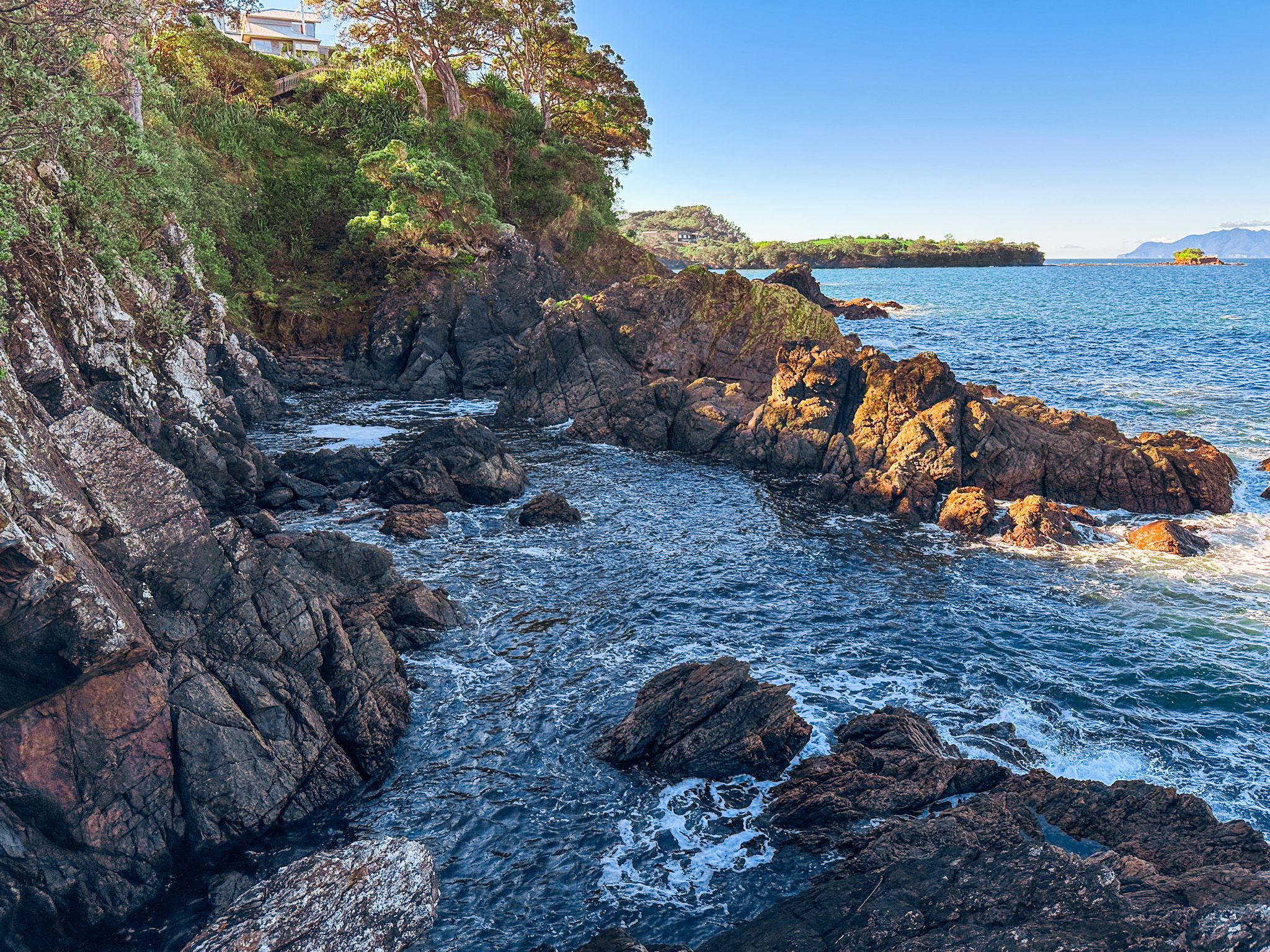
Discovering Goat Island Marine Reserve
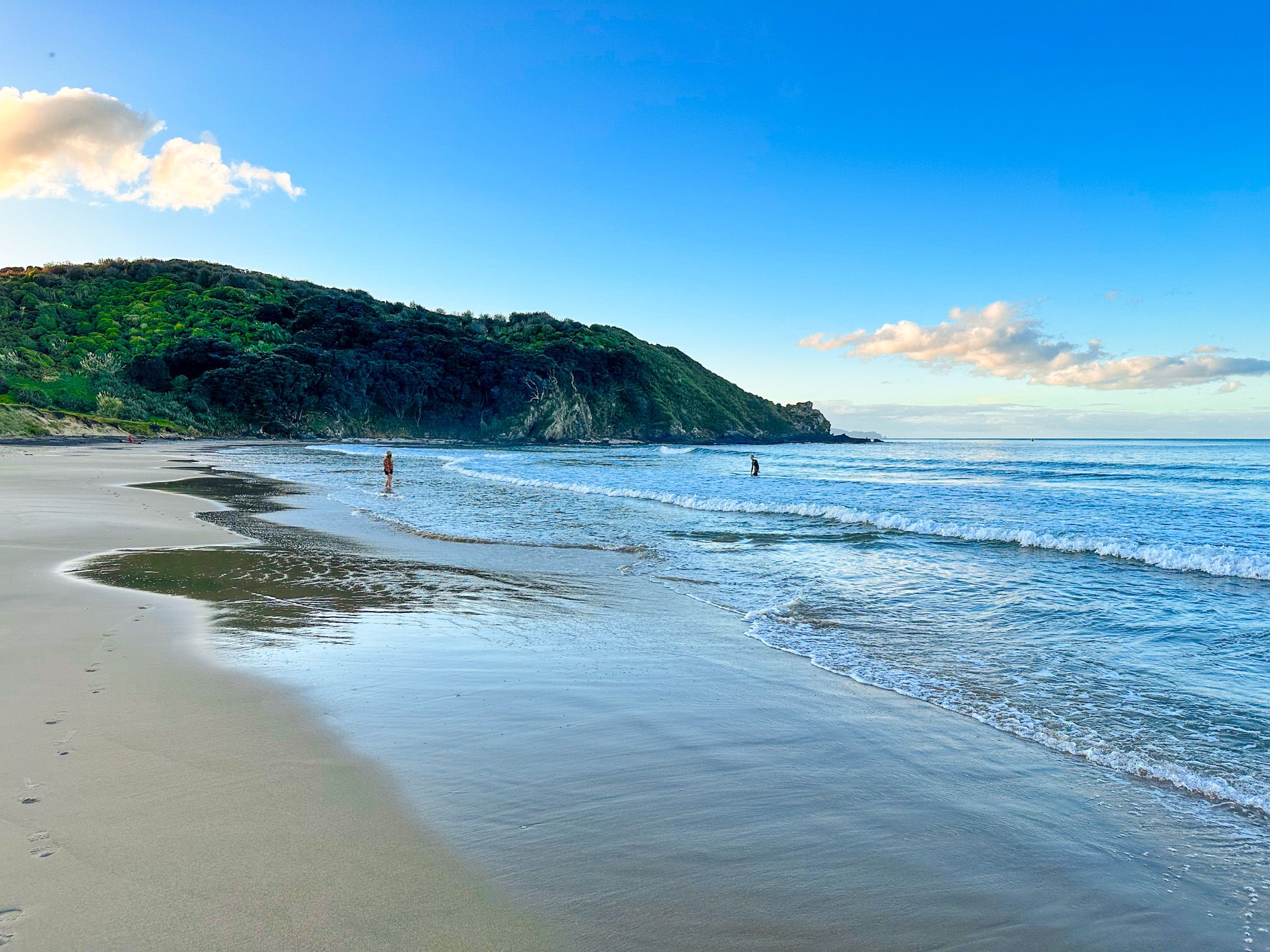
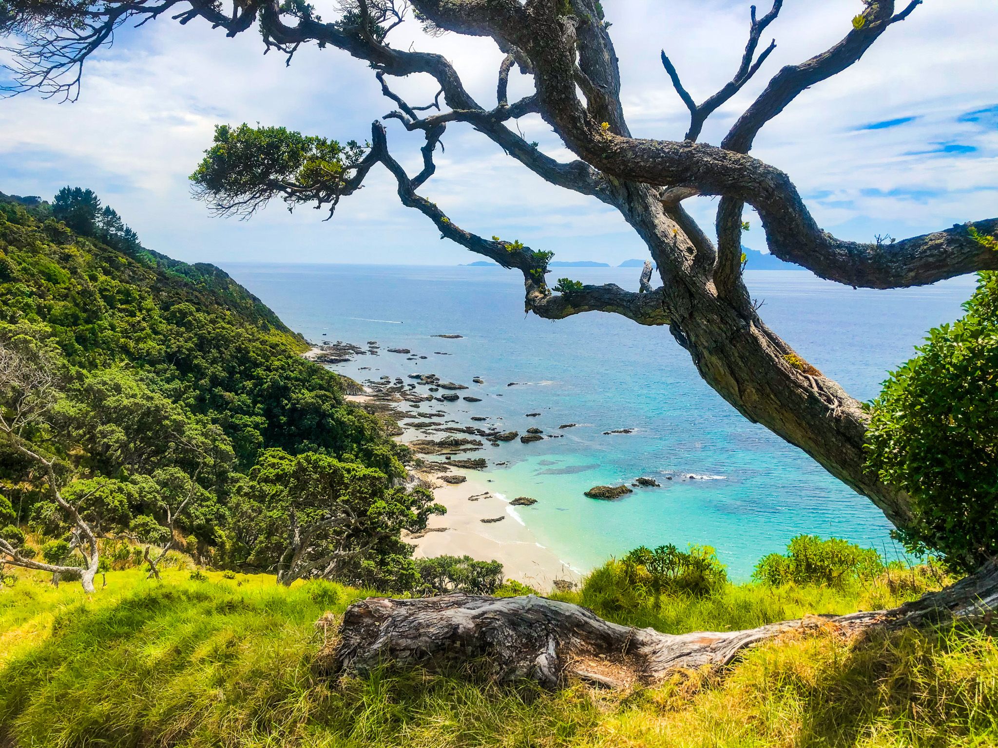
Start your trip in the coastal community of Leigh, located on the south side of Cape Rodney. From there, take Pakiri Road for 1.6 km, then turn onto Goat Island Road to reach the Marine Reserve around Goat Island. After calm weather, this spot becomes a popular destination for snorkelling and coastal walks.
Visiting Pakiri Beach and Regional Park
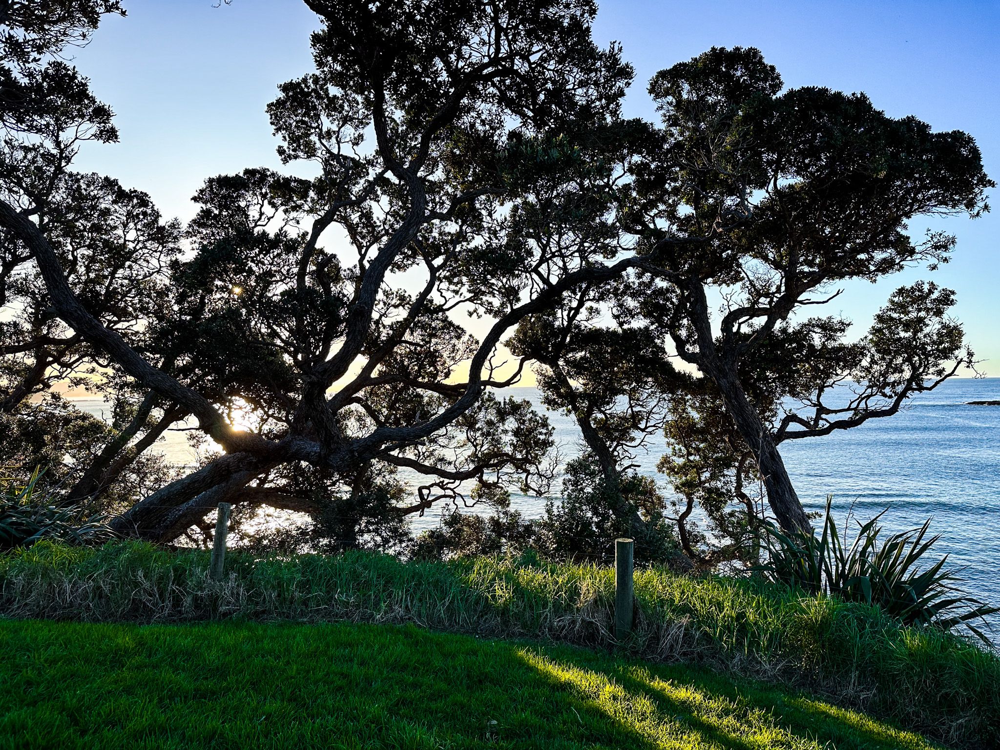
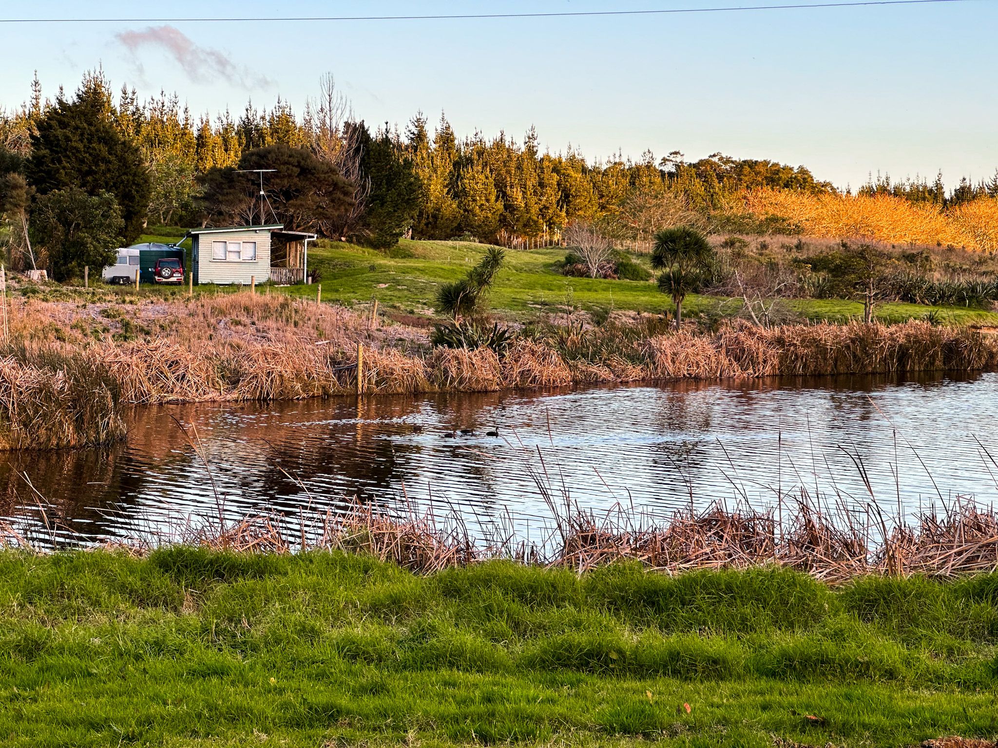
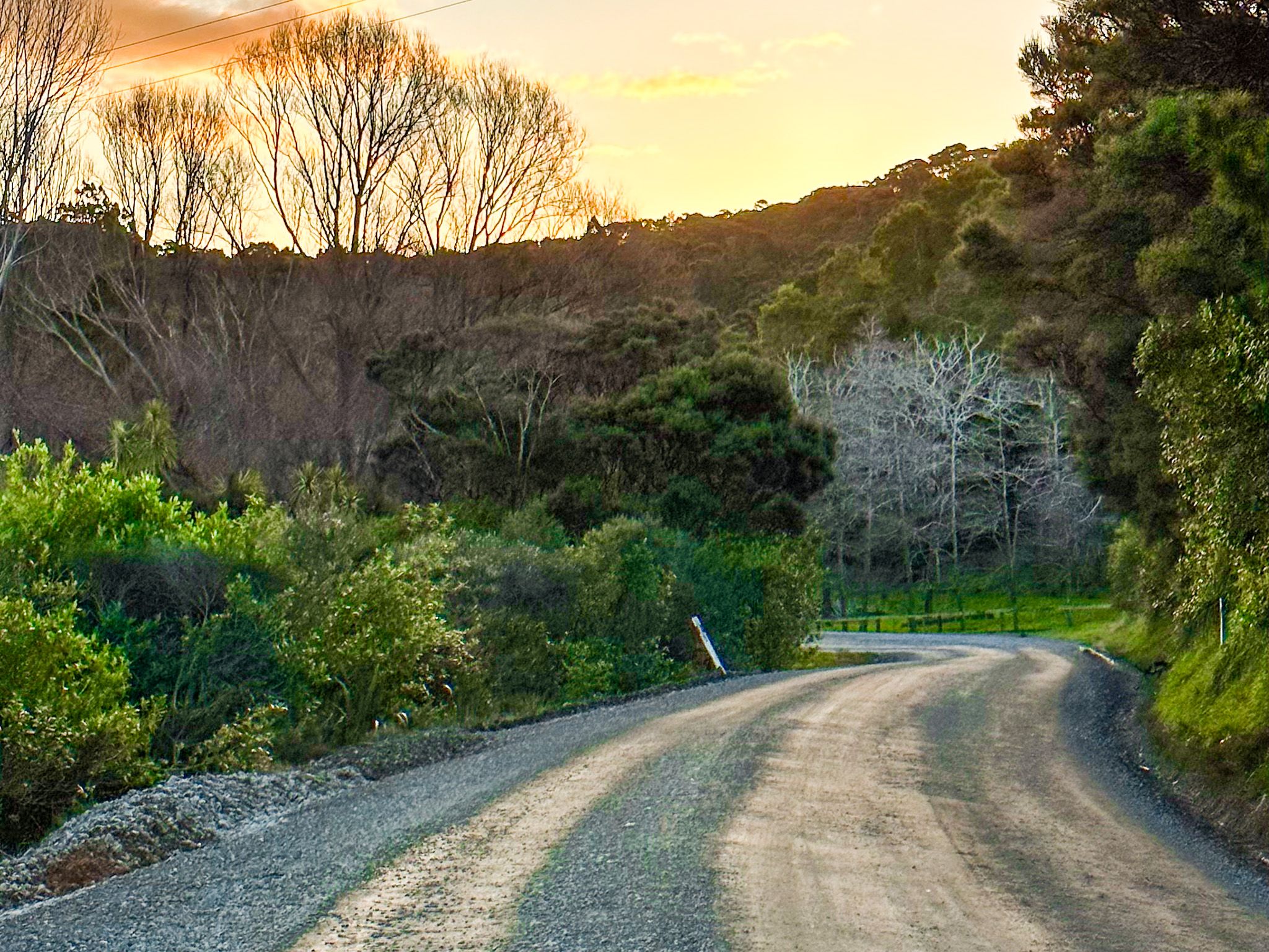
Continuing north, the roads are mostly gravel and generally quieter.
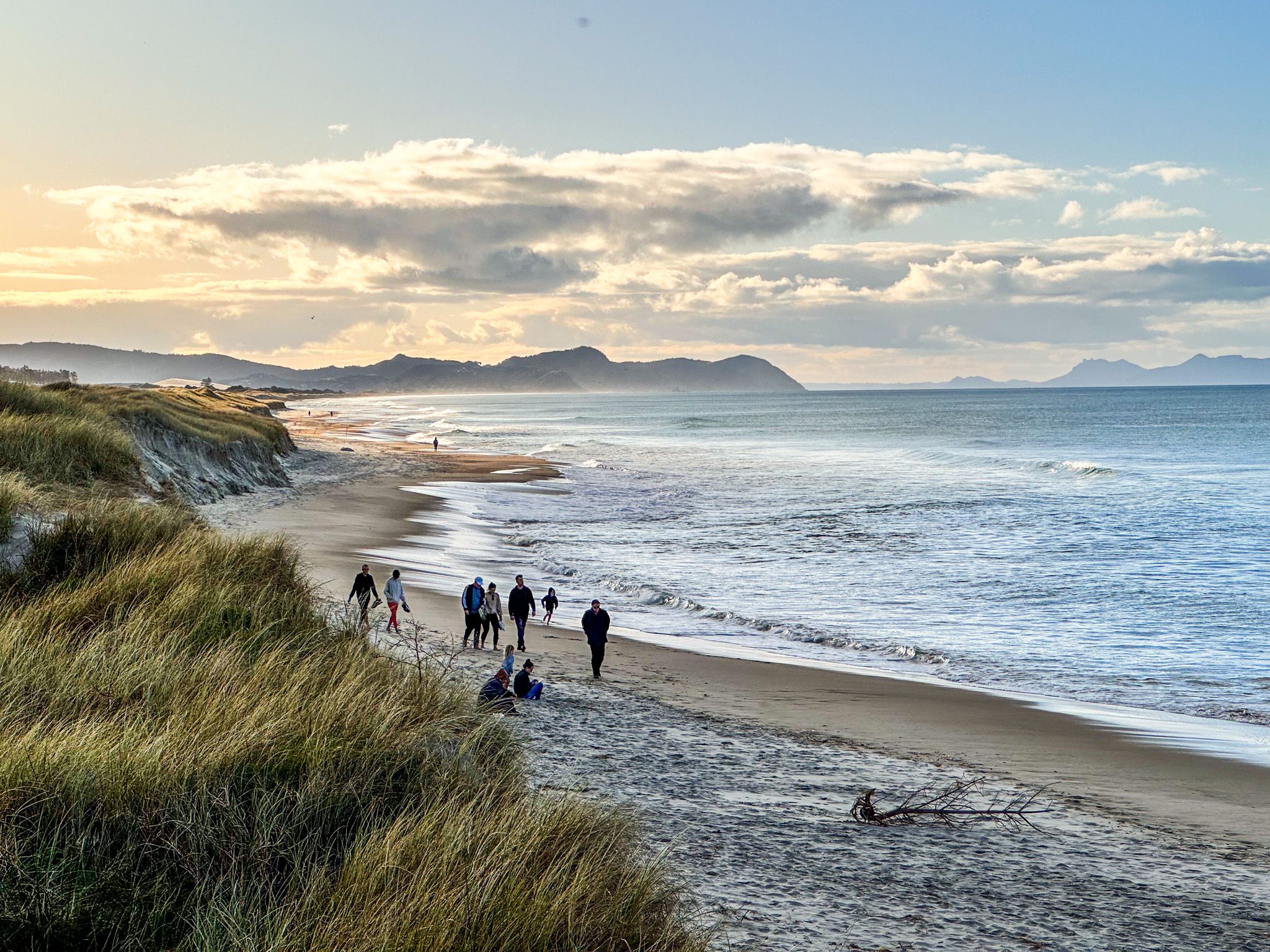
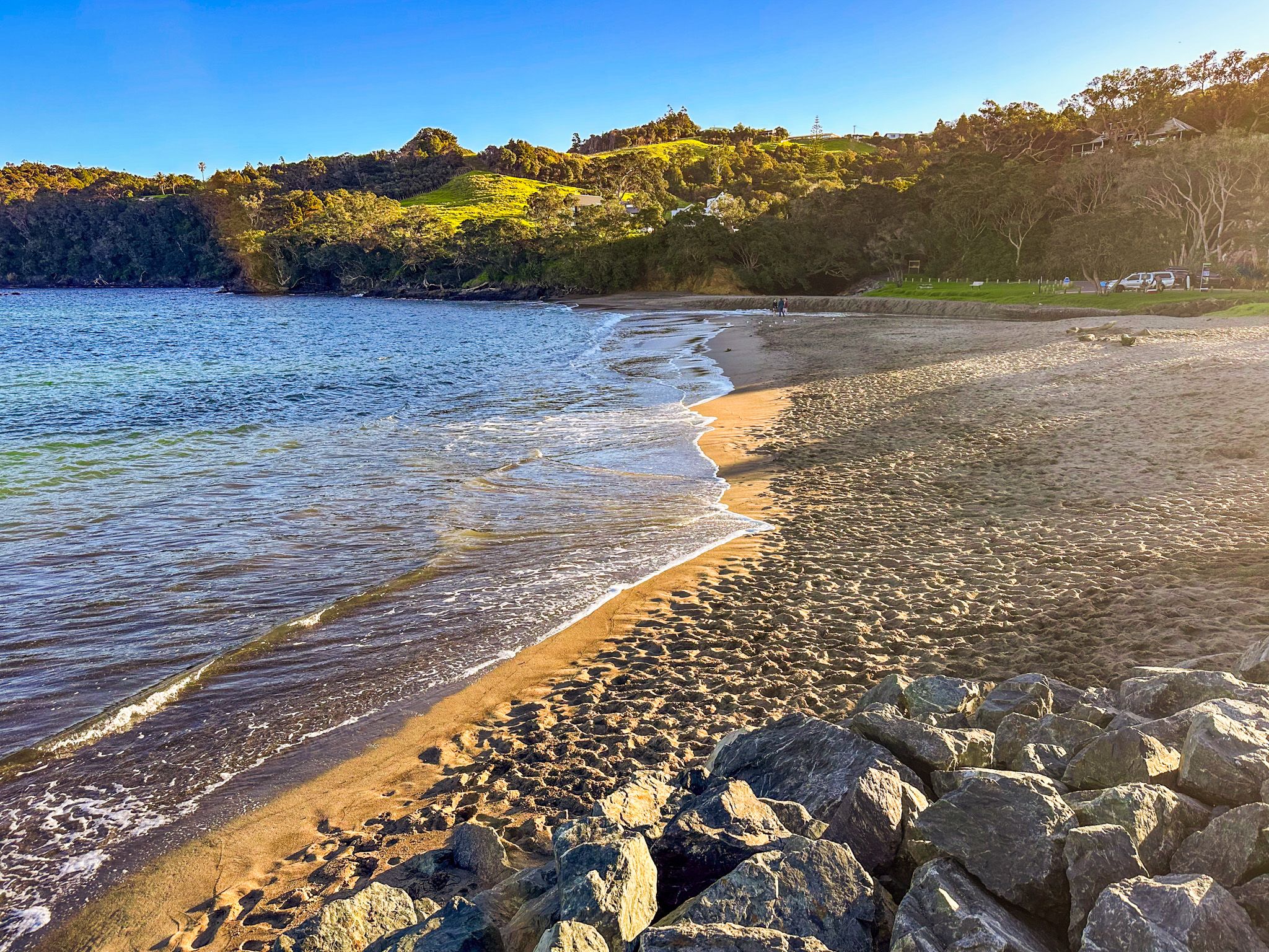
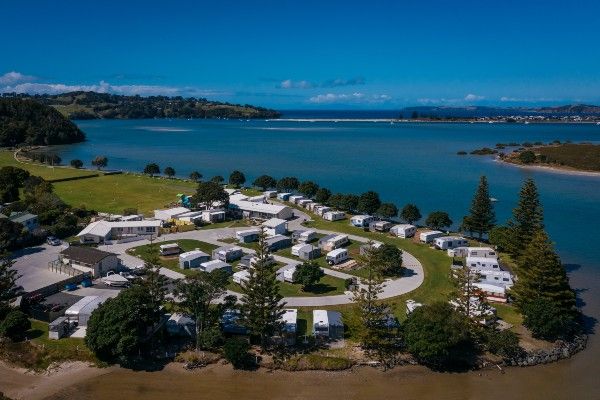
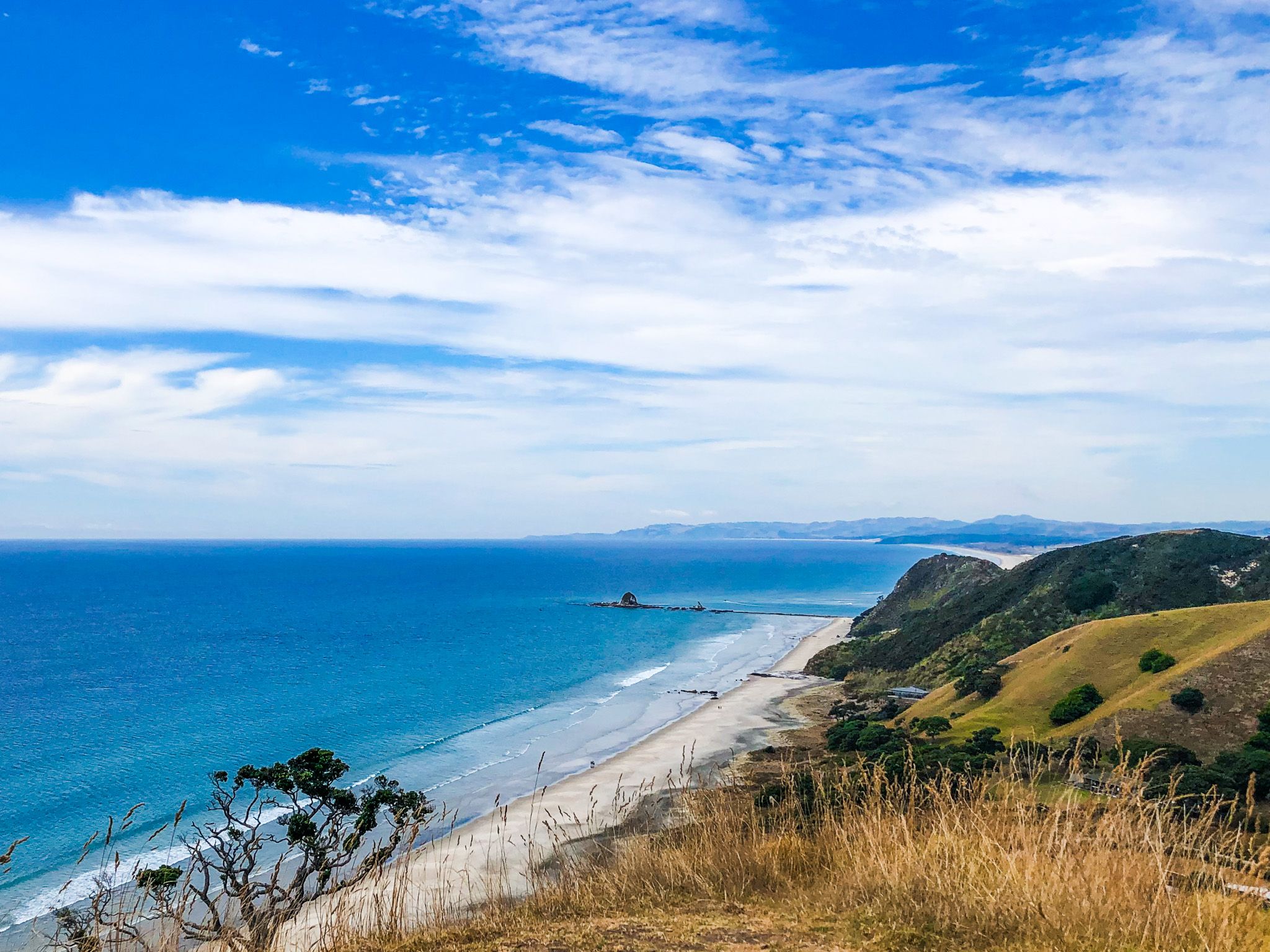
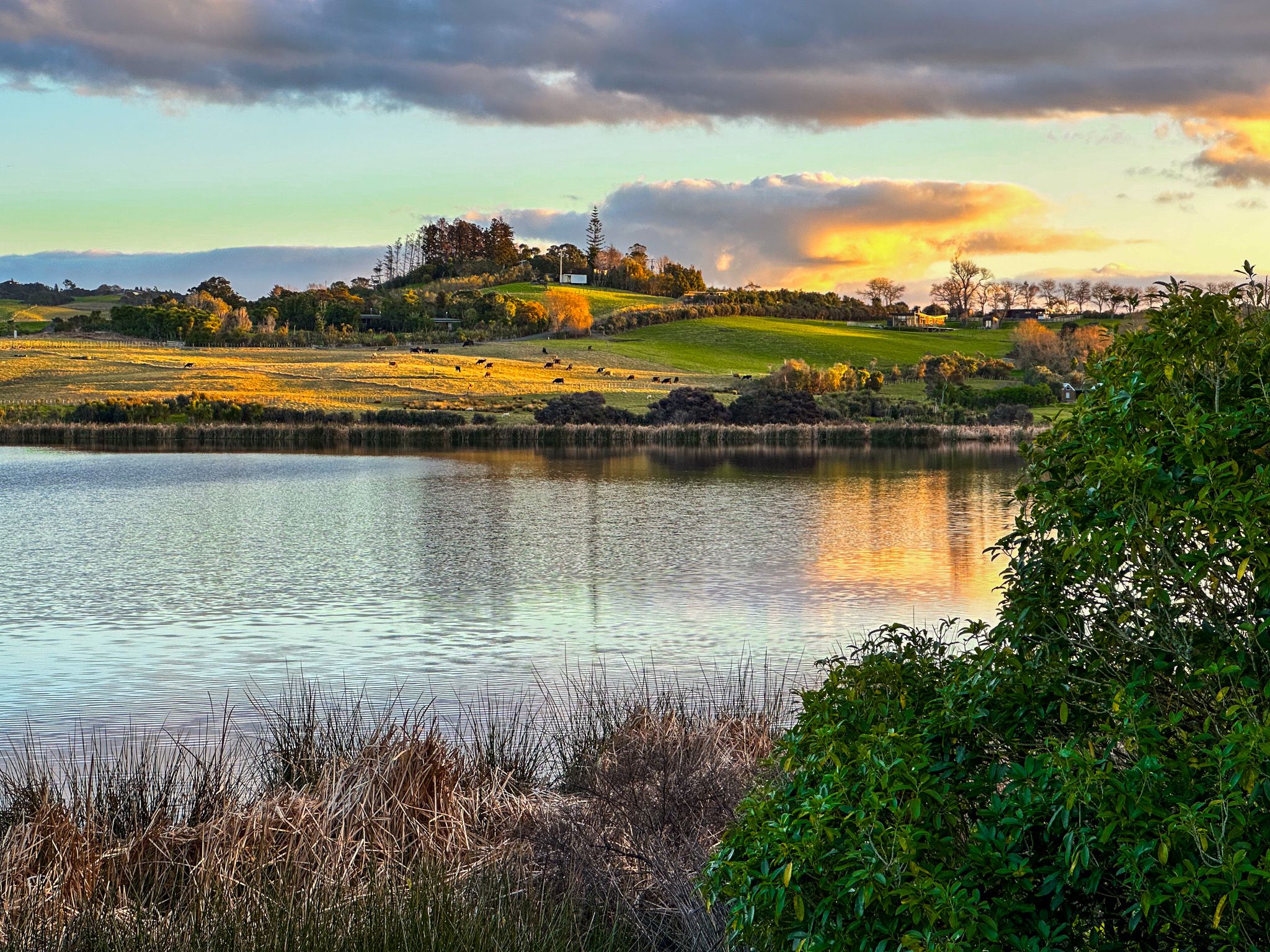
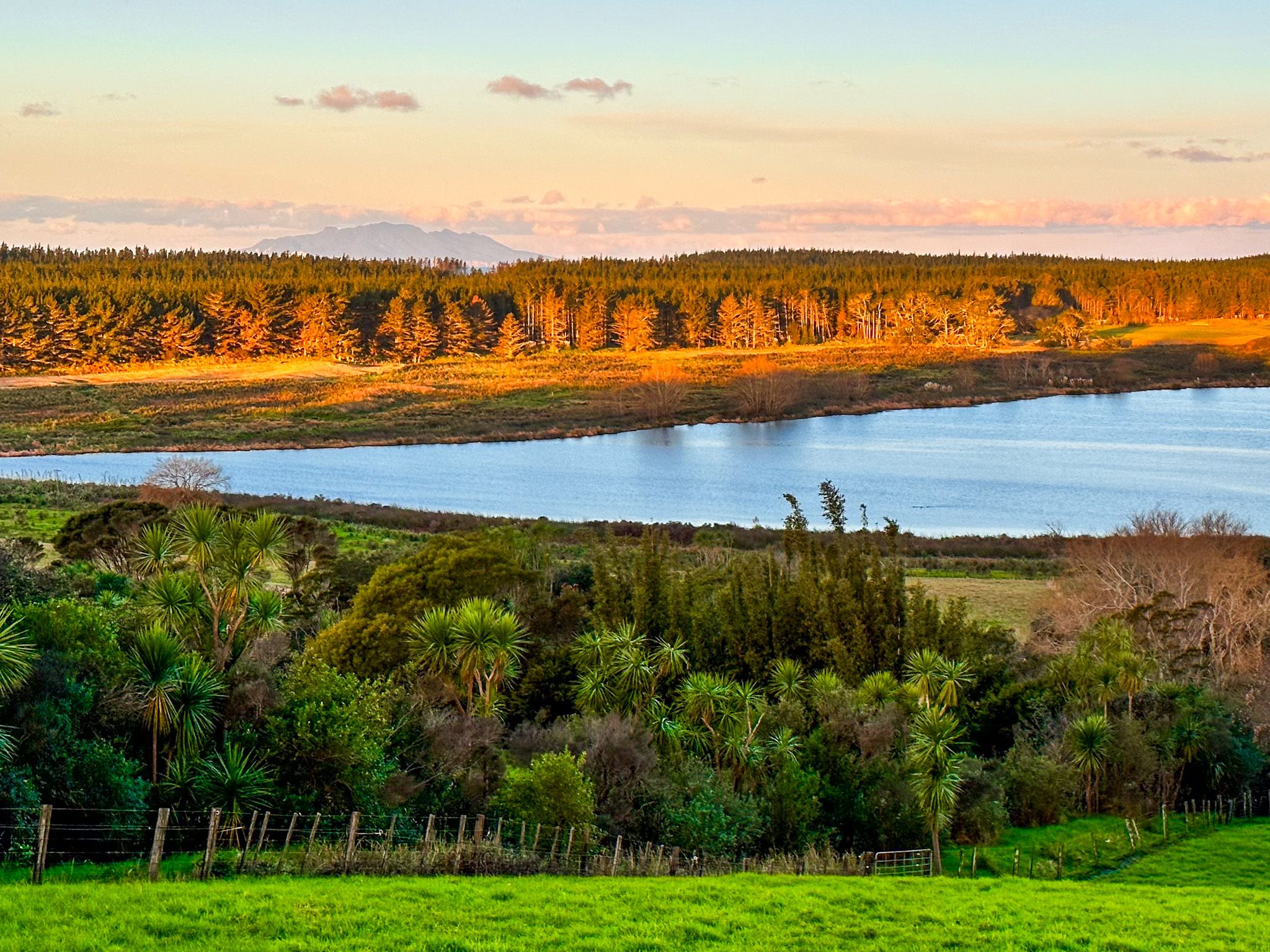
From Goat Island Road, head northwest on Pakiri Road to reach the quaint community of Pakiri, near gorgeous white sand Pakiri Beach. Continue to Pakiri Beach via Pakiri River Road, which runs alongside the river. This is also the northernmost section of the 25 km-long, largely unbroken stretch of beach to Mangawhai Heads. The beach is also part of Pakiri Regional Park, with a commercial campground. The Te Araroa trail also follows the beach north from the river mouth to Mangawhai.
Exploring Te Ārai Regional Park
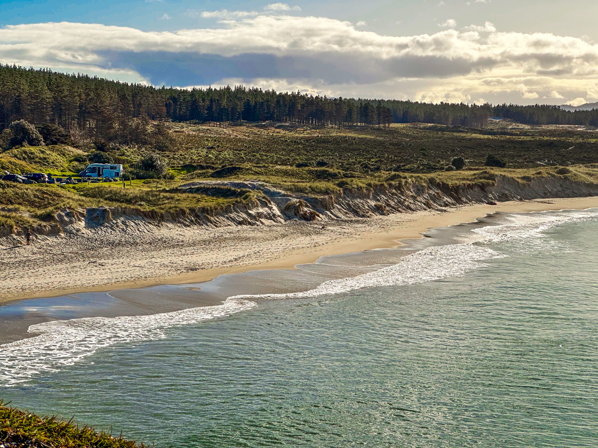
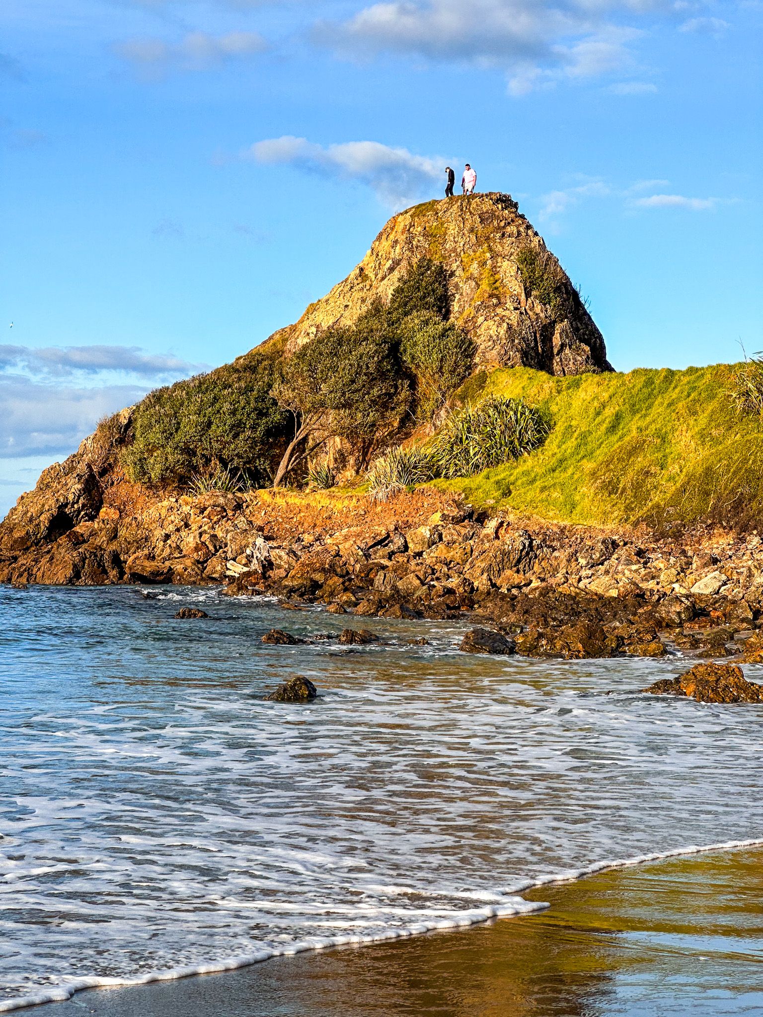
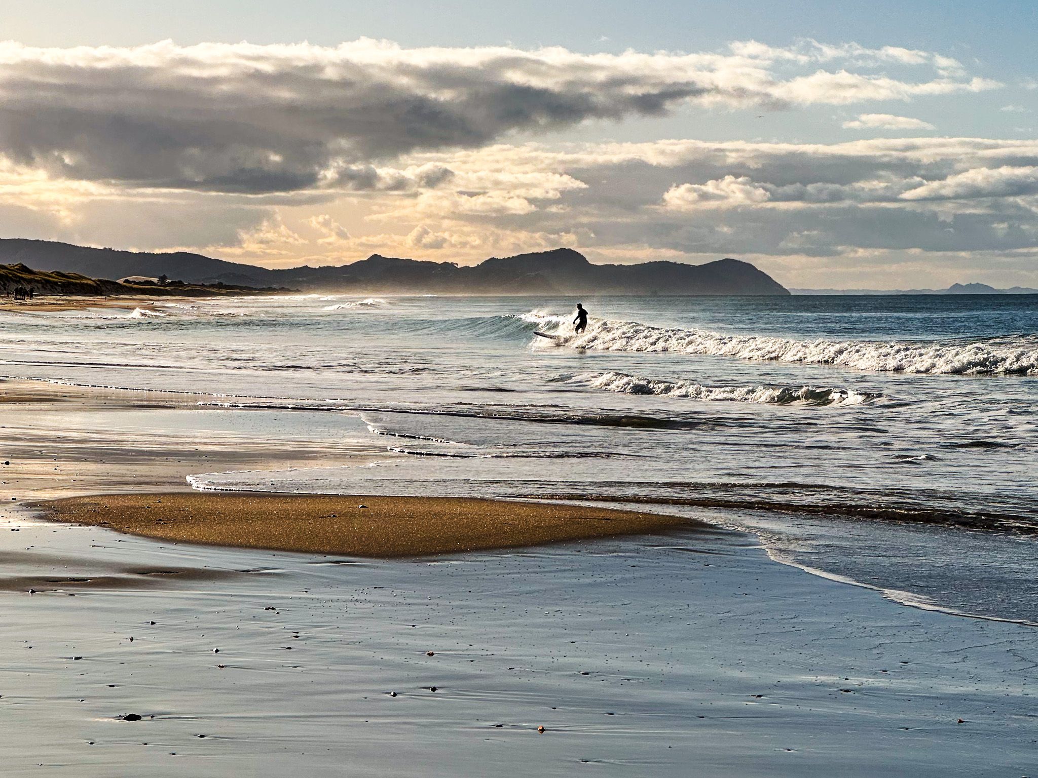
Next, visit Te Ārai Regional Park, centred around the beach at Eyres Point and Te Ārai Point. This park, also located on Te Araroa, includes a campsite on the north side of the twin points. The beach here is considered one of Auckland's top three surfing beaches. You can enjoy coastal walks with stunning views, linking the northside beach to locally named Forestry Beach on the south side of the park. You might even spot dolphins among the surfers. You can also take Ocean View Road around the twin points to Foresty Beach.
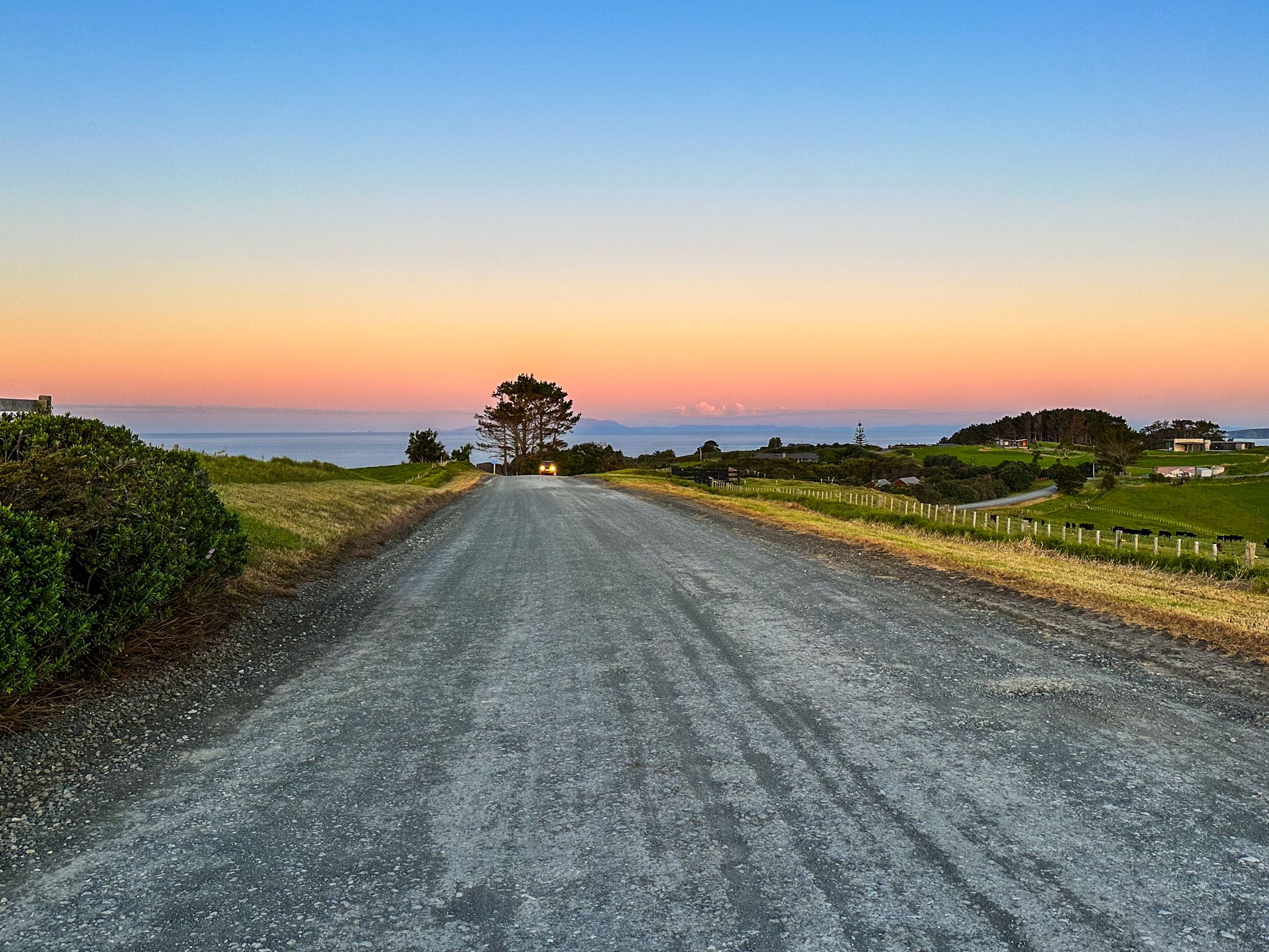
Navigating to Te Ārai can be a bit challenging due to the network of gravel rural roads leading to Te Ārai Point Road, so using Google Maps is recommended.

Exploring Mangawhai and Surrounding Areas
After leaving Te Ārai, take Te Ārai Point Road to Mangawhai Road, which leads towards Mangawhai and nearby Mangawhai Heads. Just before you reach the bridge over the Mangawhai Estuary, take Black Swan Road north, then Pacific Coast Road to the beach. The sign says it is part of Te Ārai Regional Park, with a car park, and access to the surf break through the dunes. This is another spot on the long stretch of beach best known to surfers.
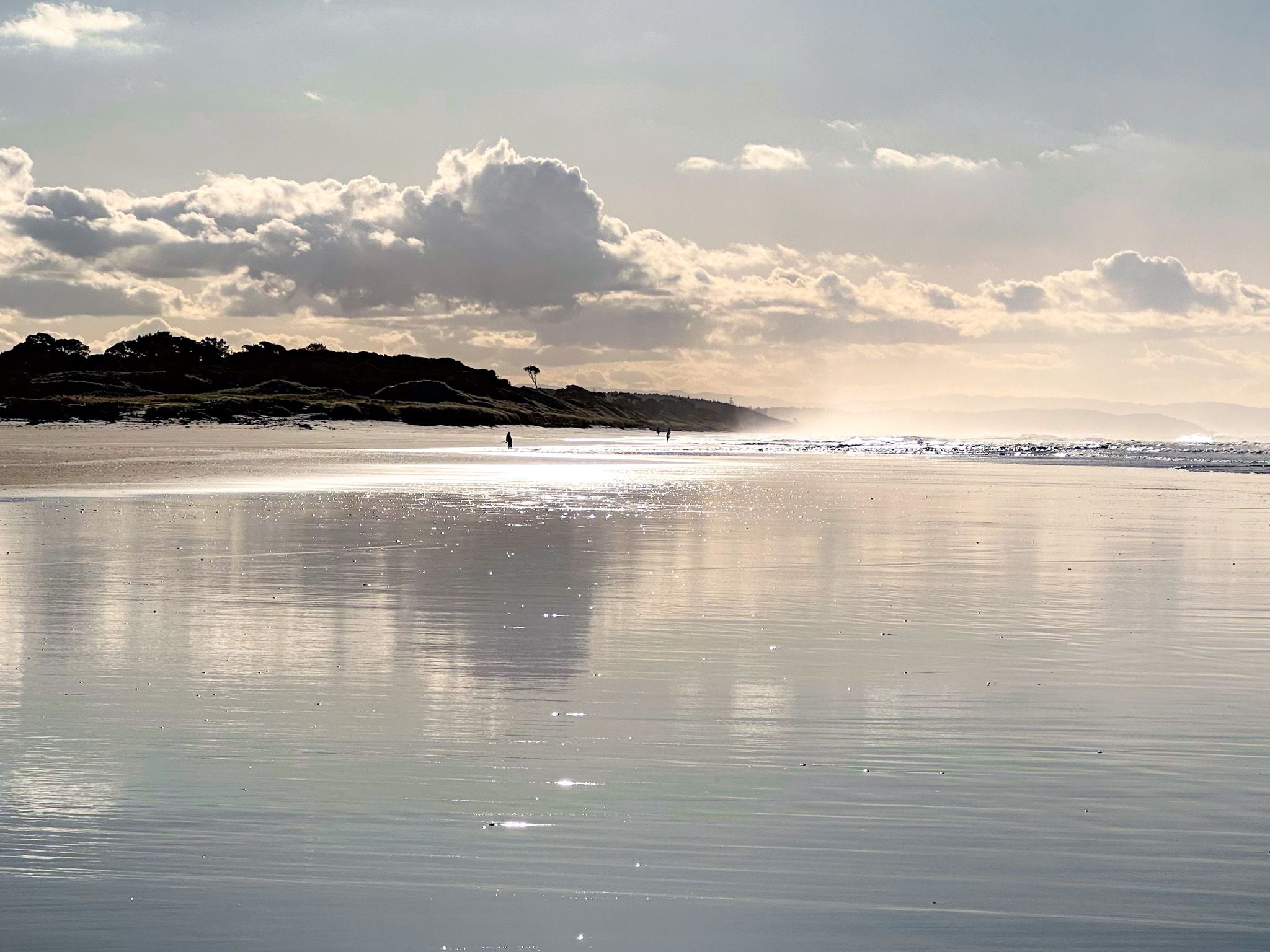
Returning to the main road, here, head towards the north side of Mangawhai Heads. A highlight is the Mangawhai Walkway, which starts at the south end of Mangawhai Heads Beach. This walkway offers spectacular cliff-top coastal views and a return path along the rocky coast at low tide.
Mangawhai also features the Tanekaha Walking Tracks, a local network of forest trails accessible from the end of King Road.
How to Get There
To reach this coastal area from Auckland, take the northern motorway to Warkworth on the Matakana Coast, then follow the signs for Matakana. Continue northeast through Matakana on Leigh Road to Leigh, the gateway to the region.
The northeast coast of Auckland offers many recreational options, including regional parks at Wenderholm, Mahurangi, Scandrett, and Tawharanui, but this trip is perfect for a more remote getaway.