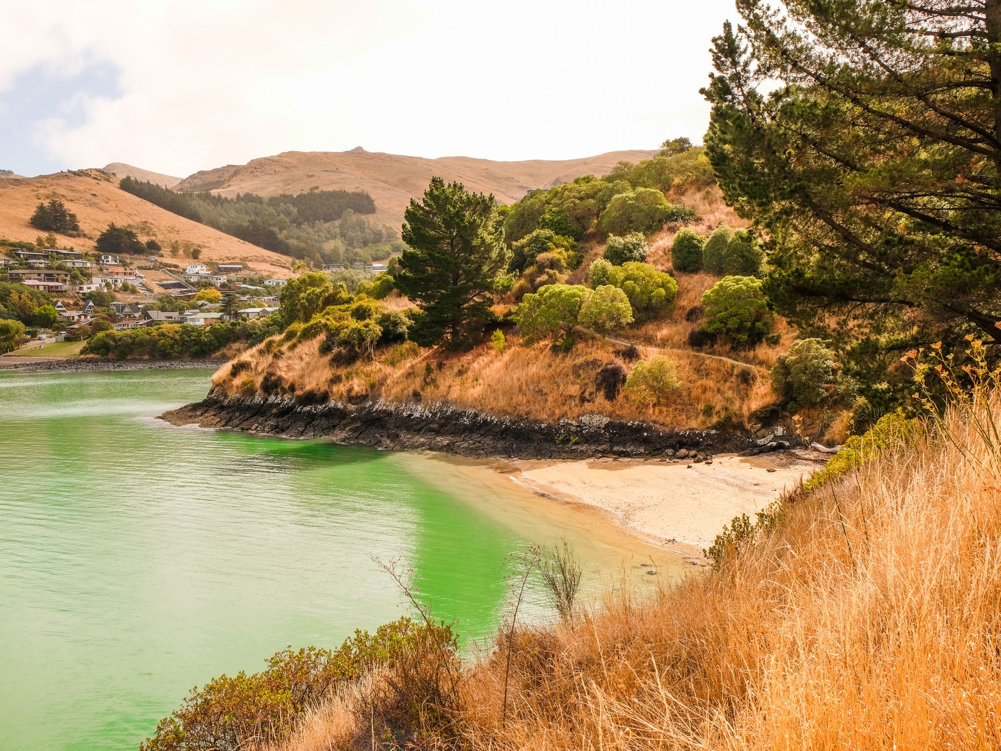
Harbour Beach in the Lyttelton Crater
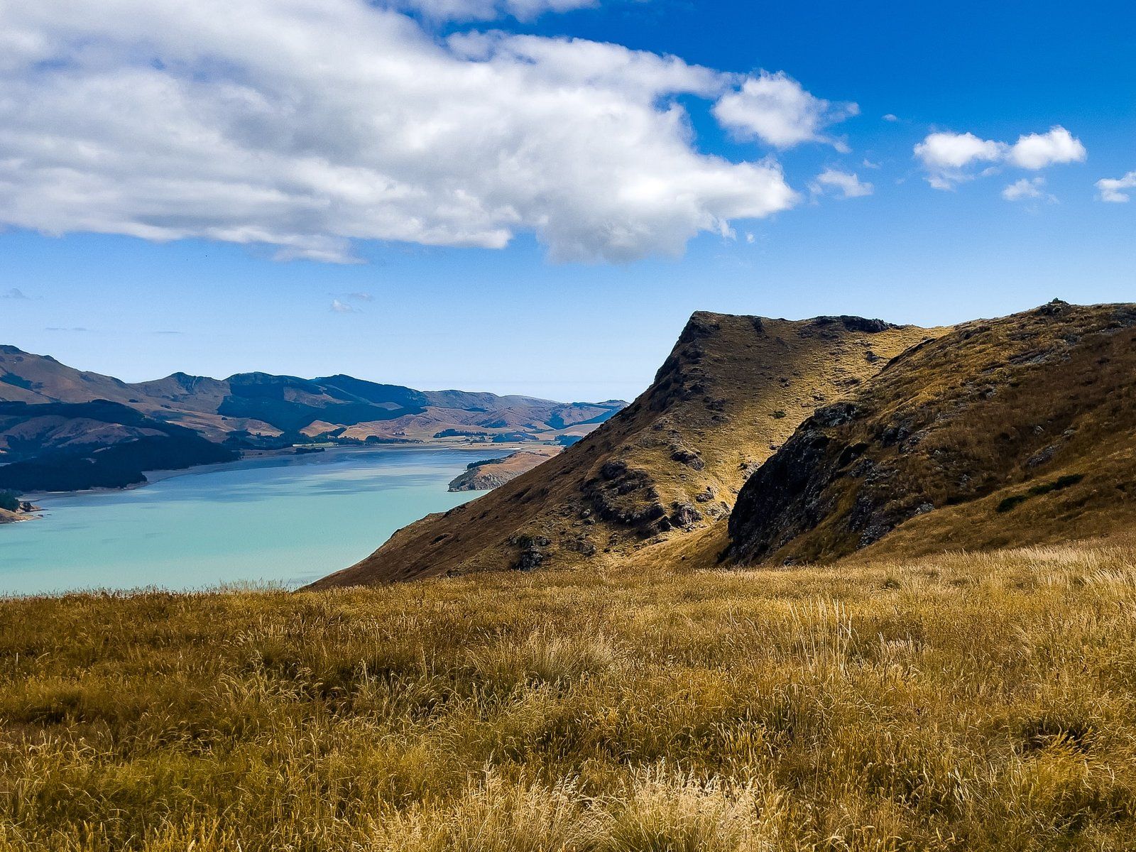
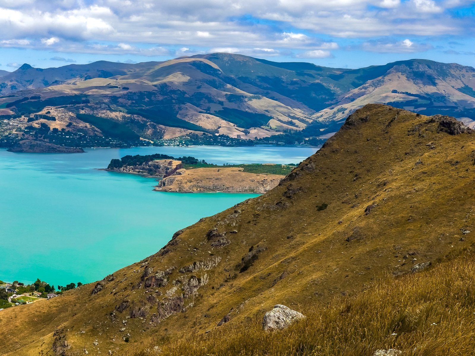
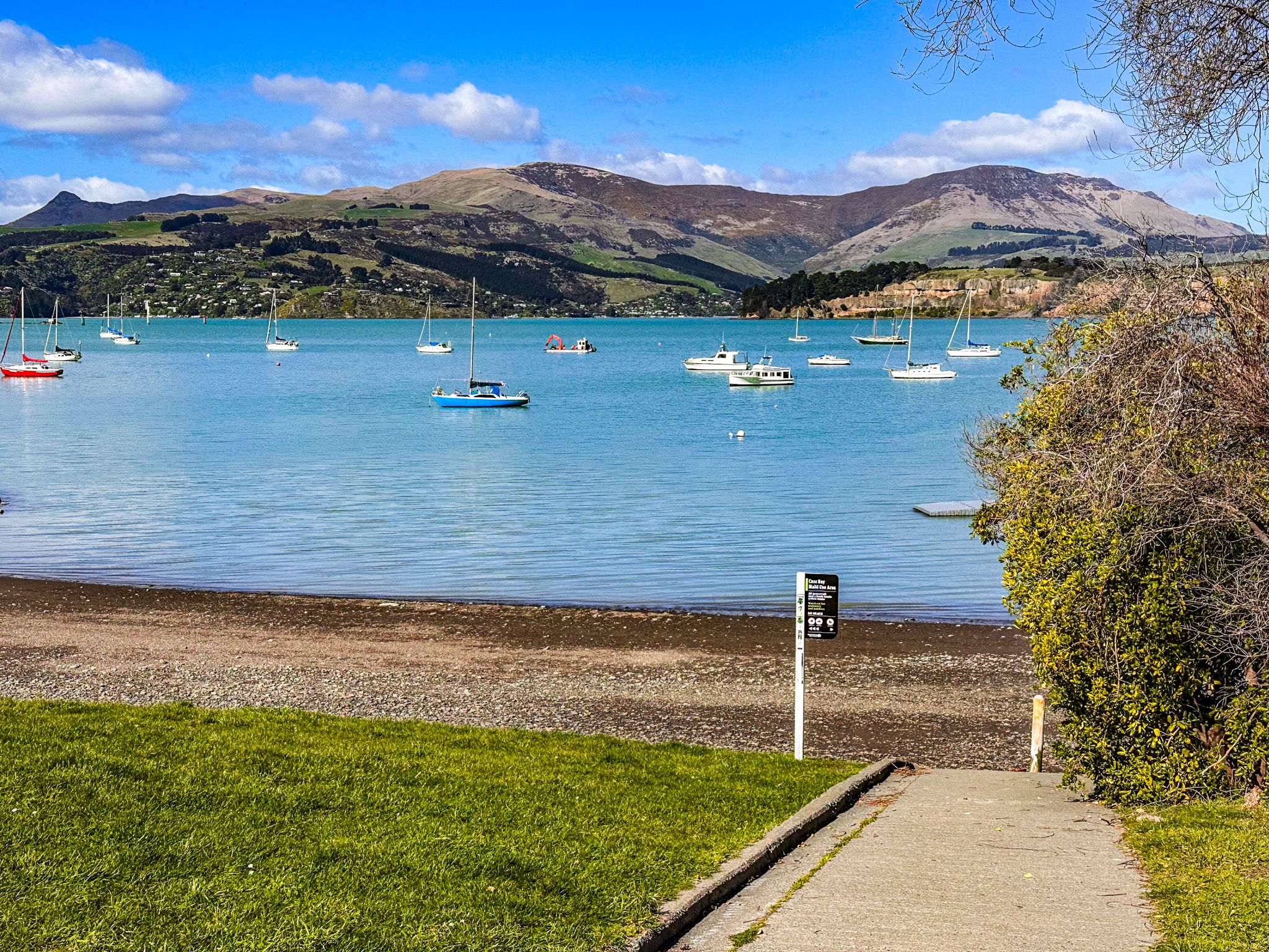
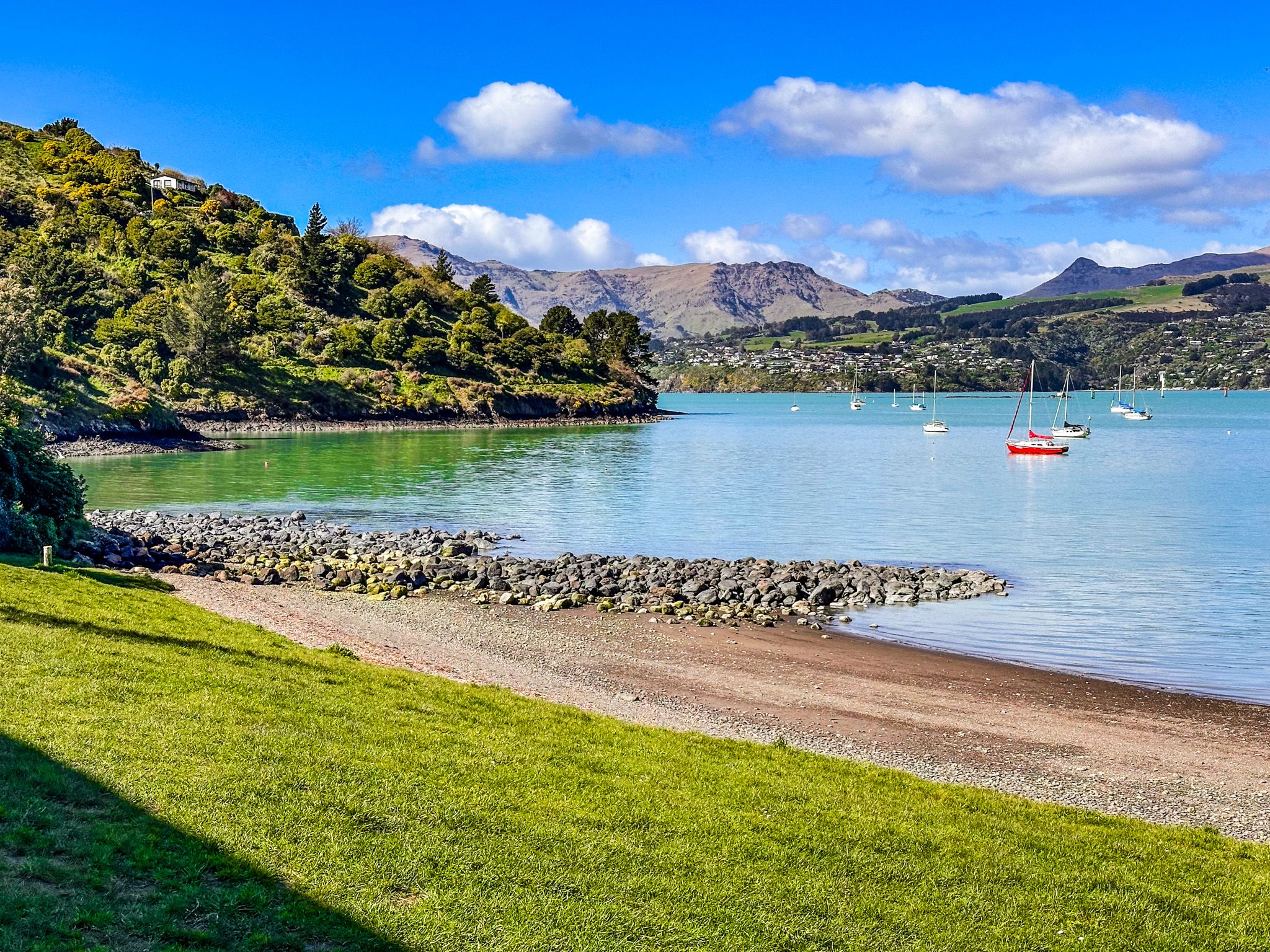
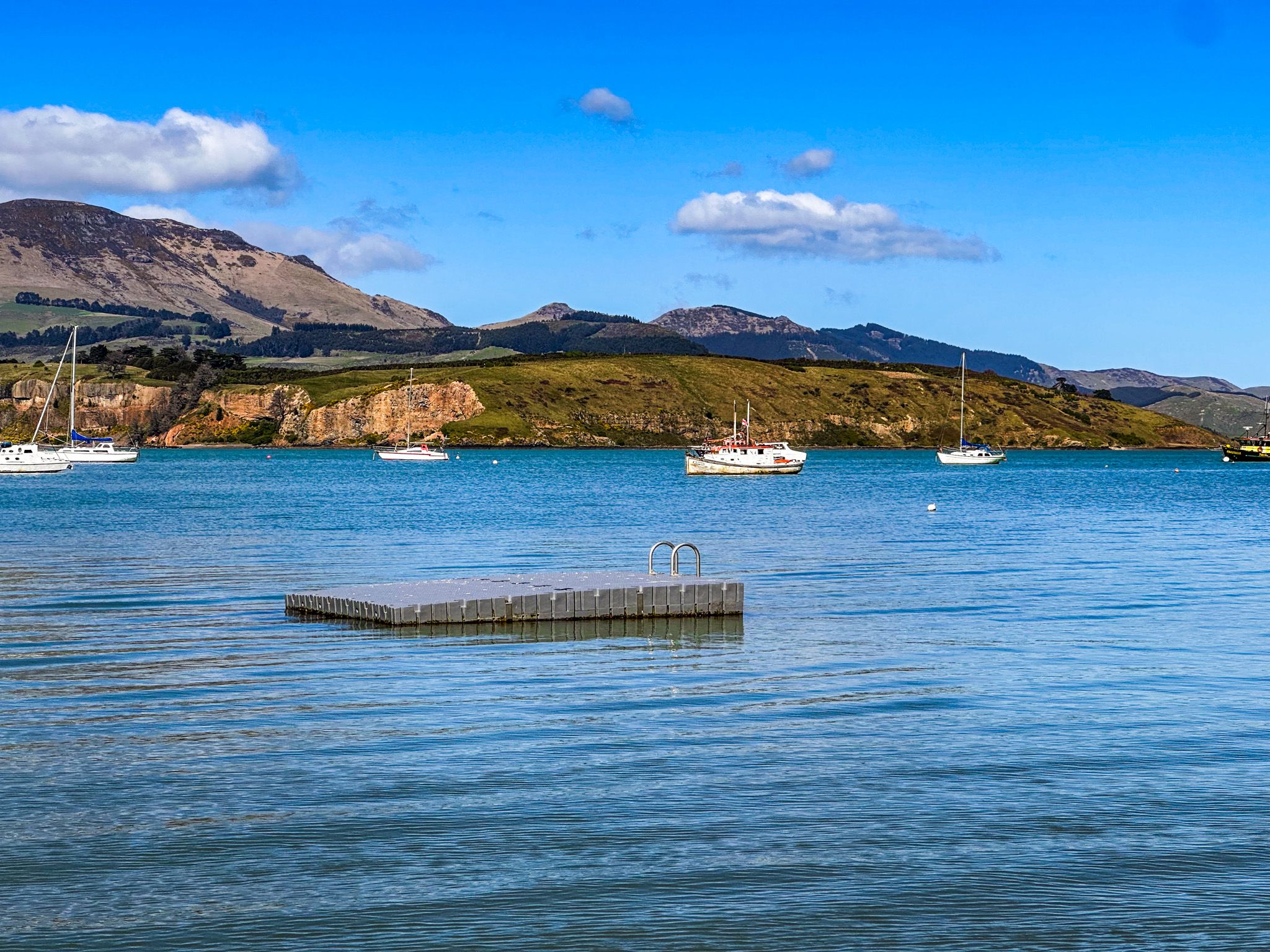
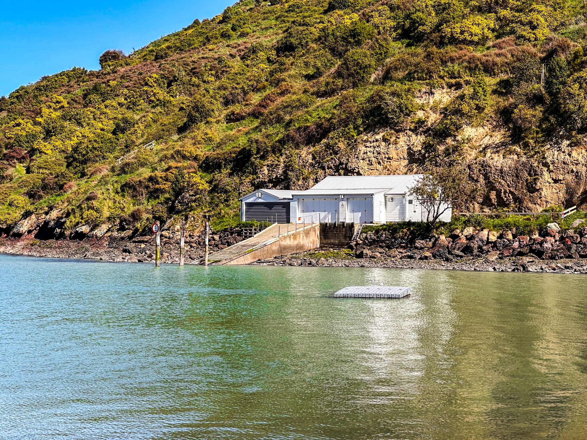
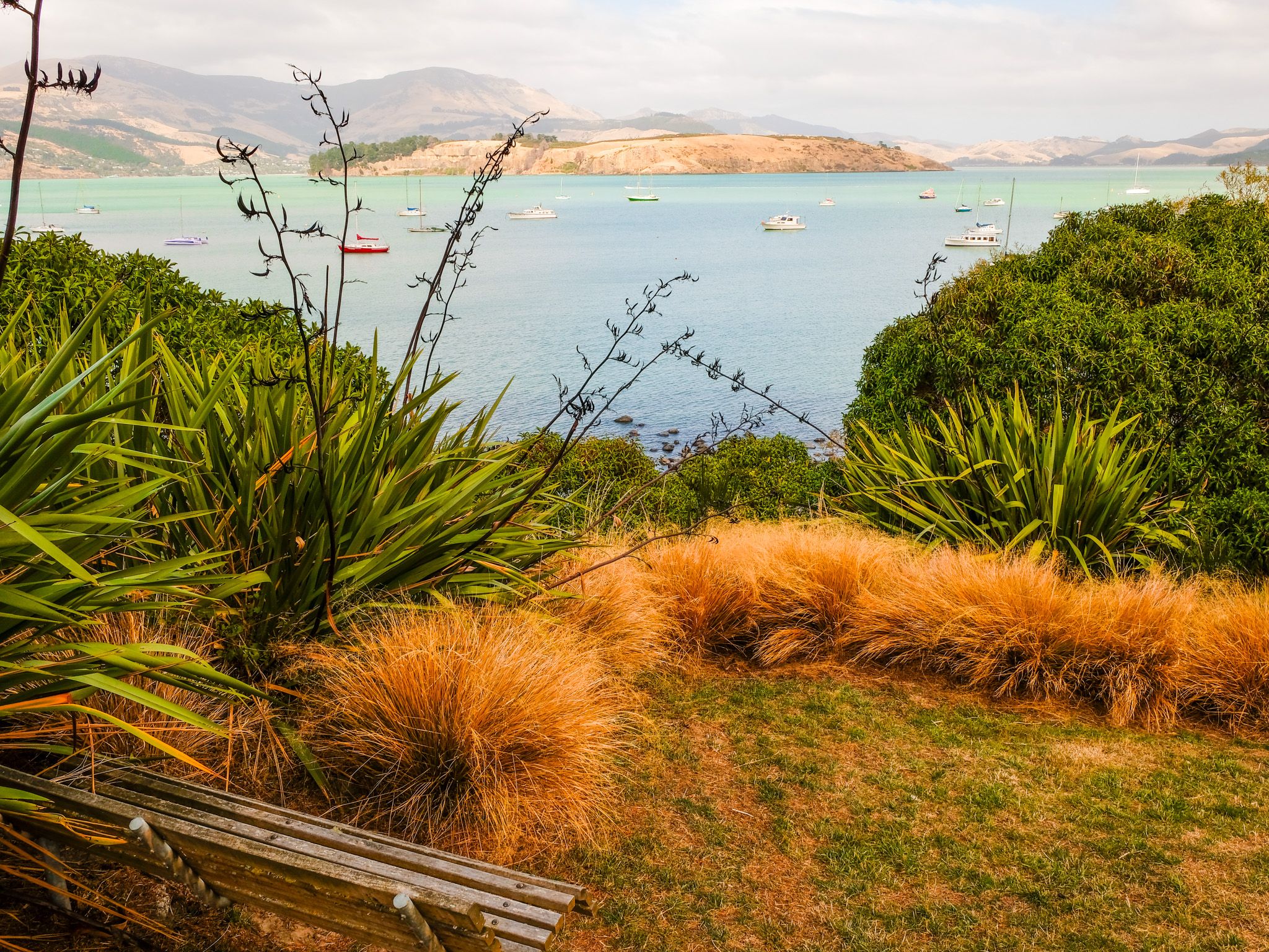
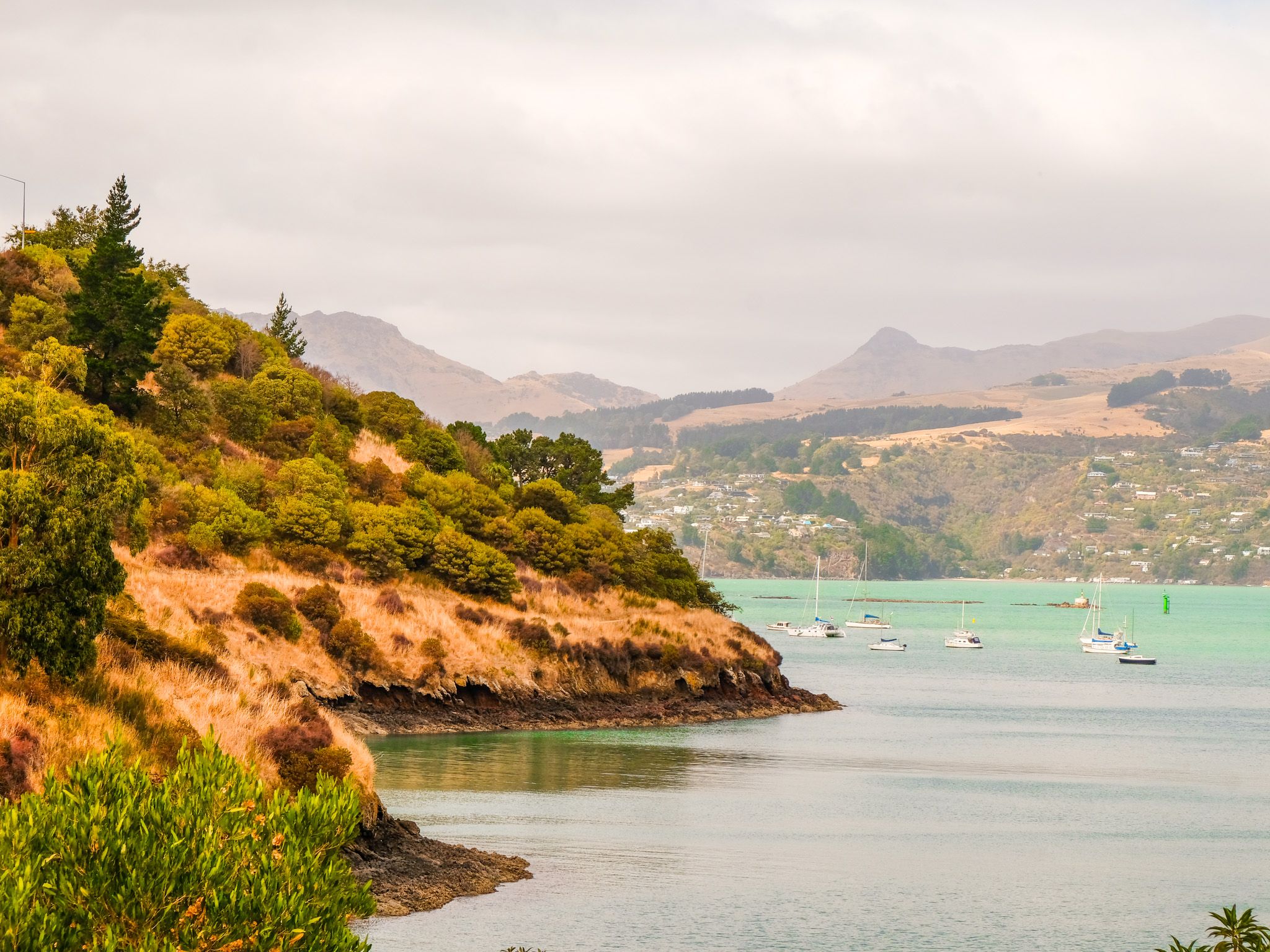
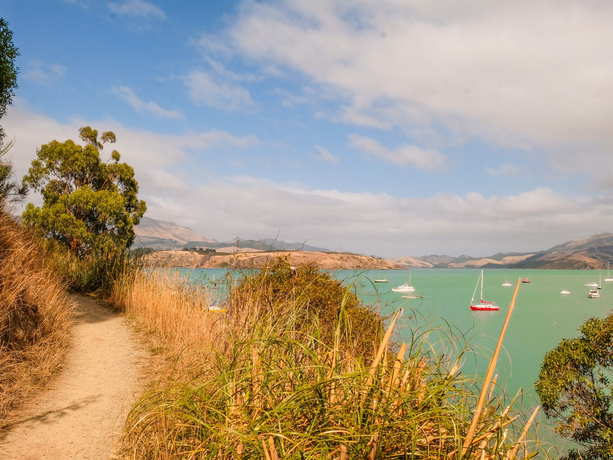
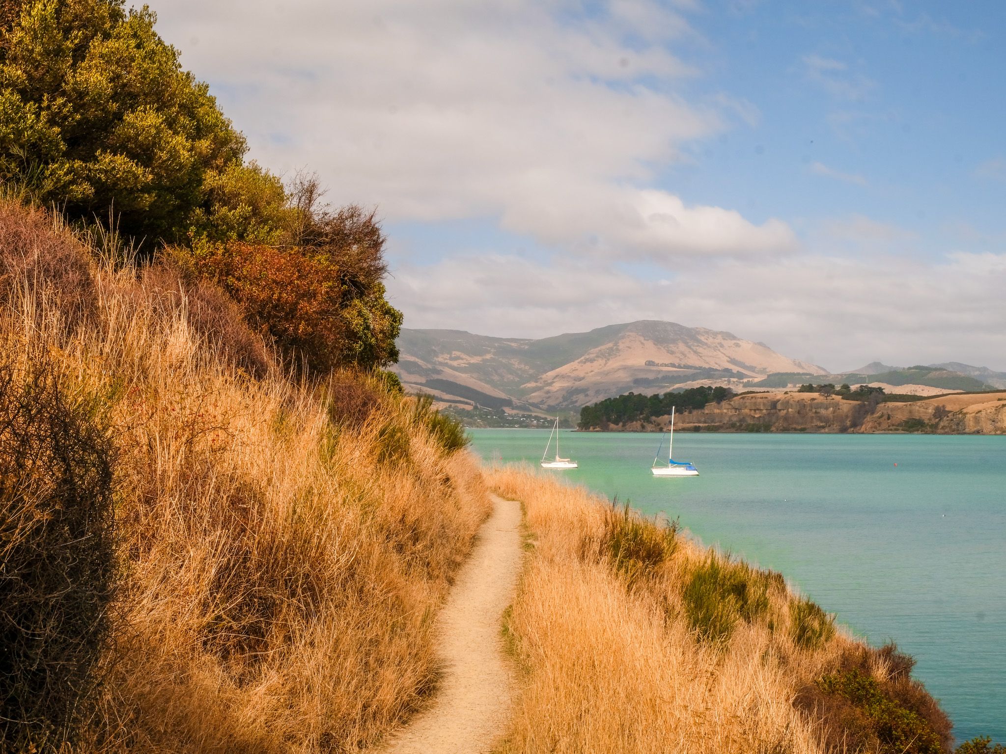
Cass Bay is a small bay on the northern shore of Whakaraupō / Lyttelton Harbour, a short drive west of Lyttelton along the harbour road. It sits inside the ancient volcanic crater, well sheltered from ocean swells, and on a fine day, the water is an intense blue-green. Looking across the water from the beach, Ōtamahua / Quail Island sits in the foreground with the bulk of Mt Herbert and the far crater rim rising behind it. The bay is named after Thomas Cass, one of the early surveyors of the harbour.
The Beaches and Facilities
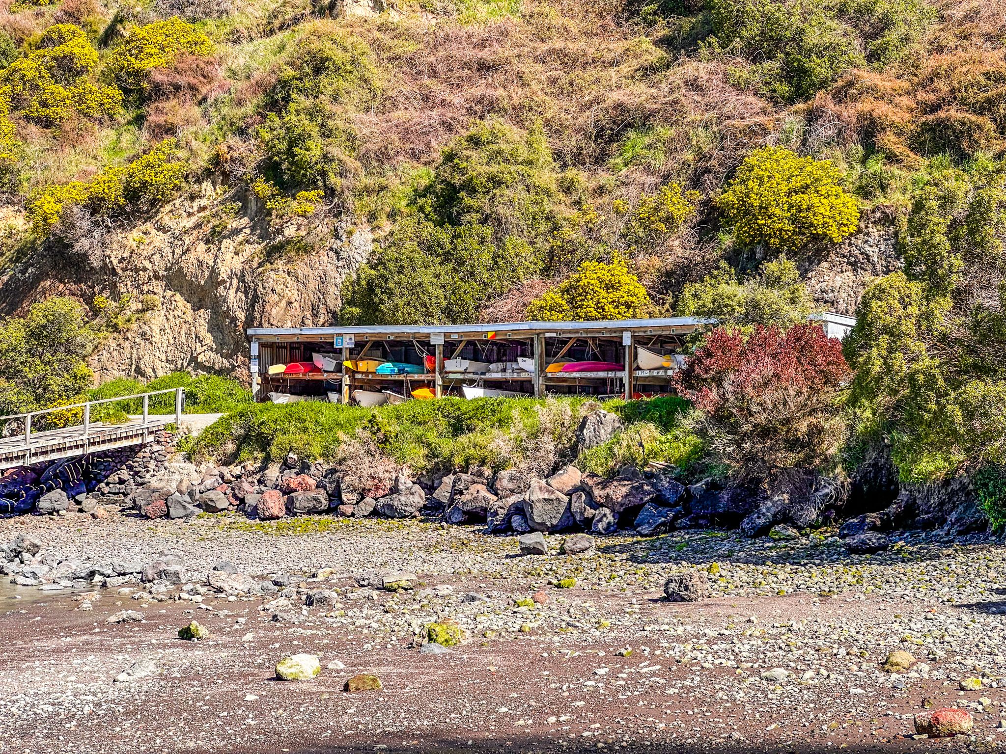
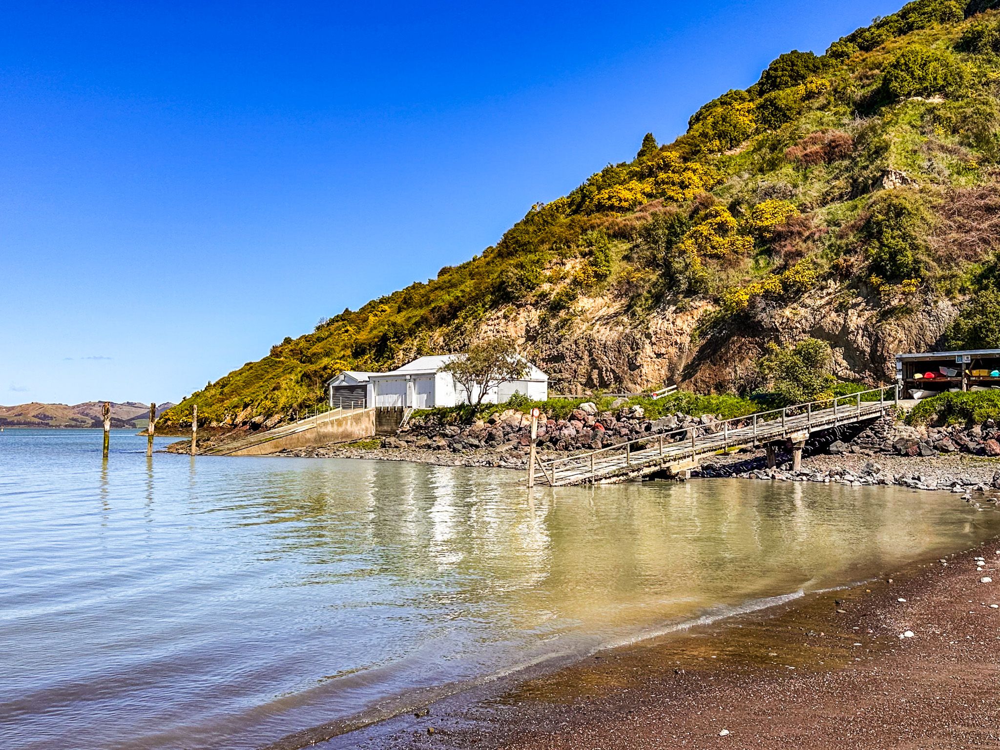
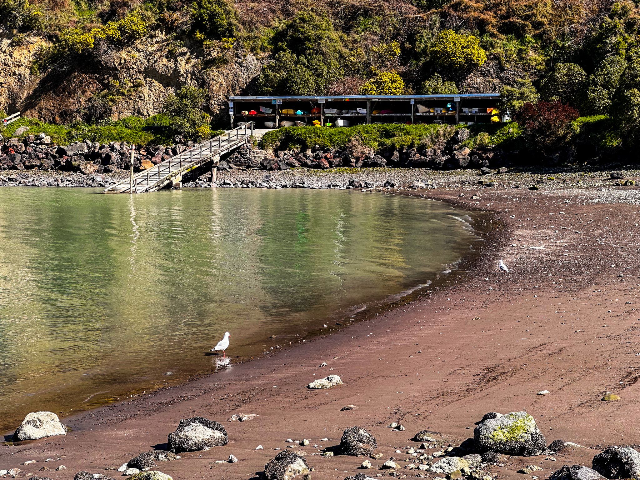
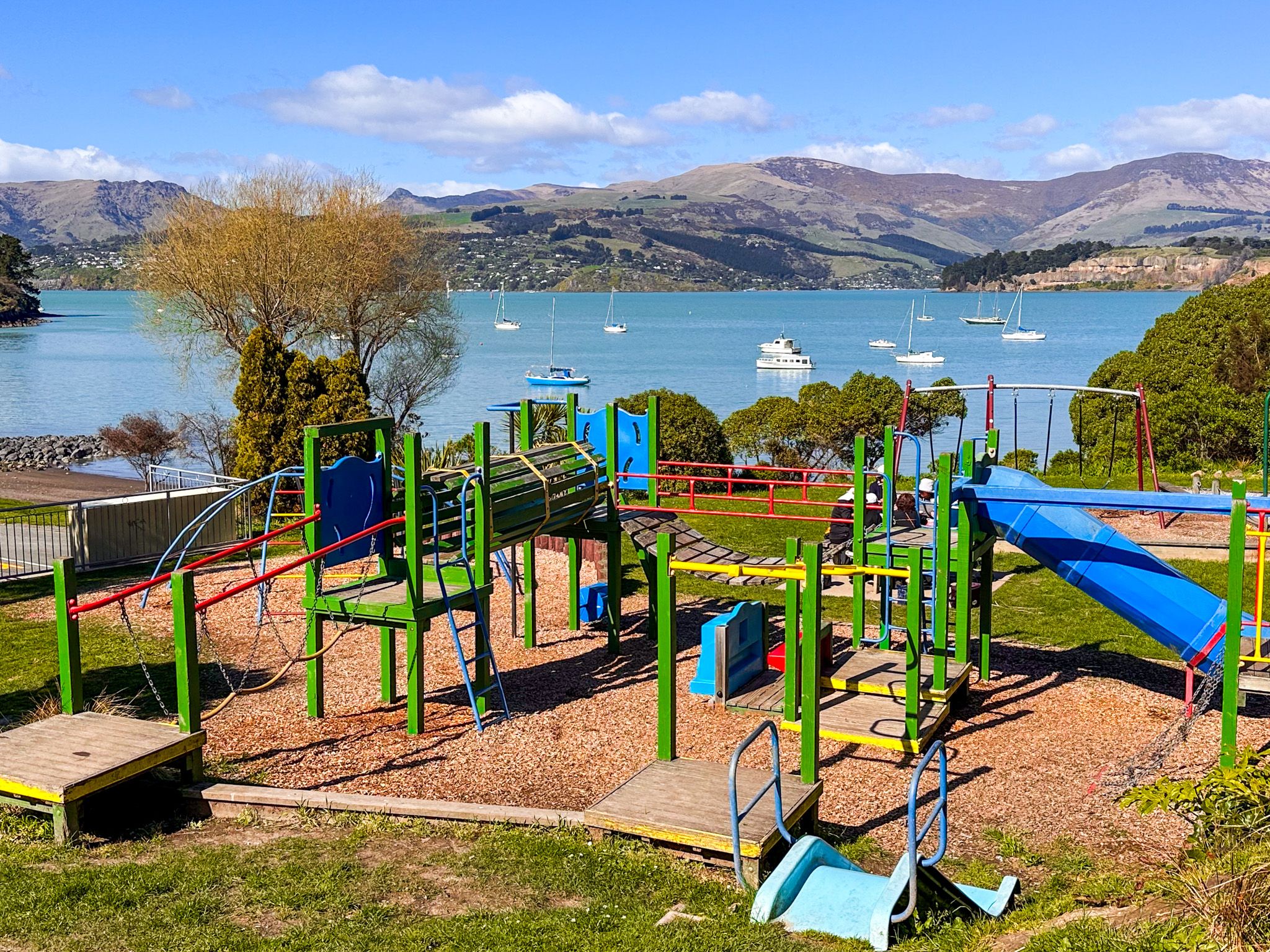
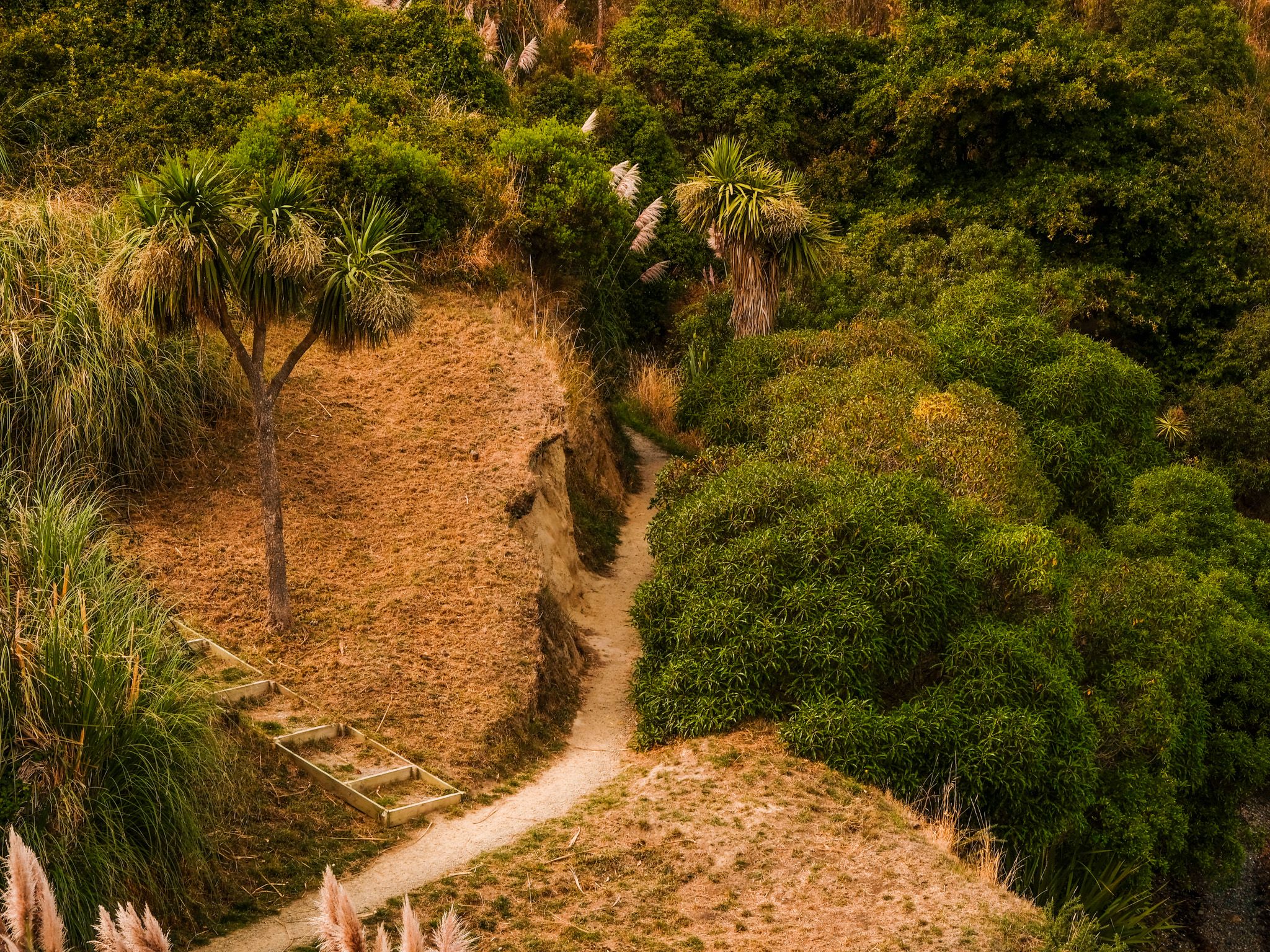
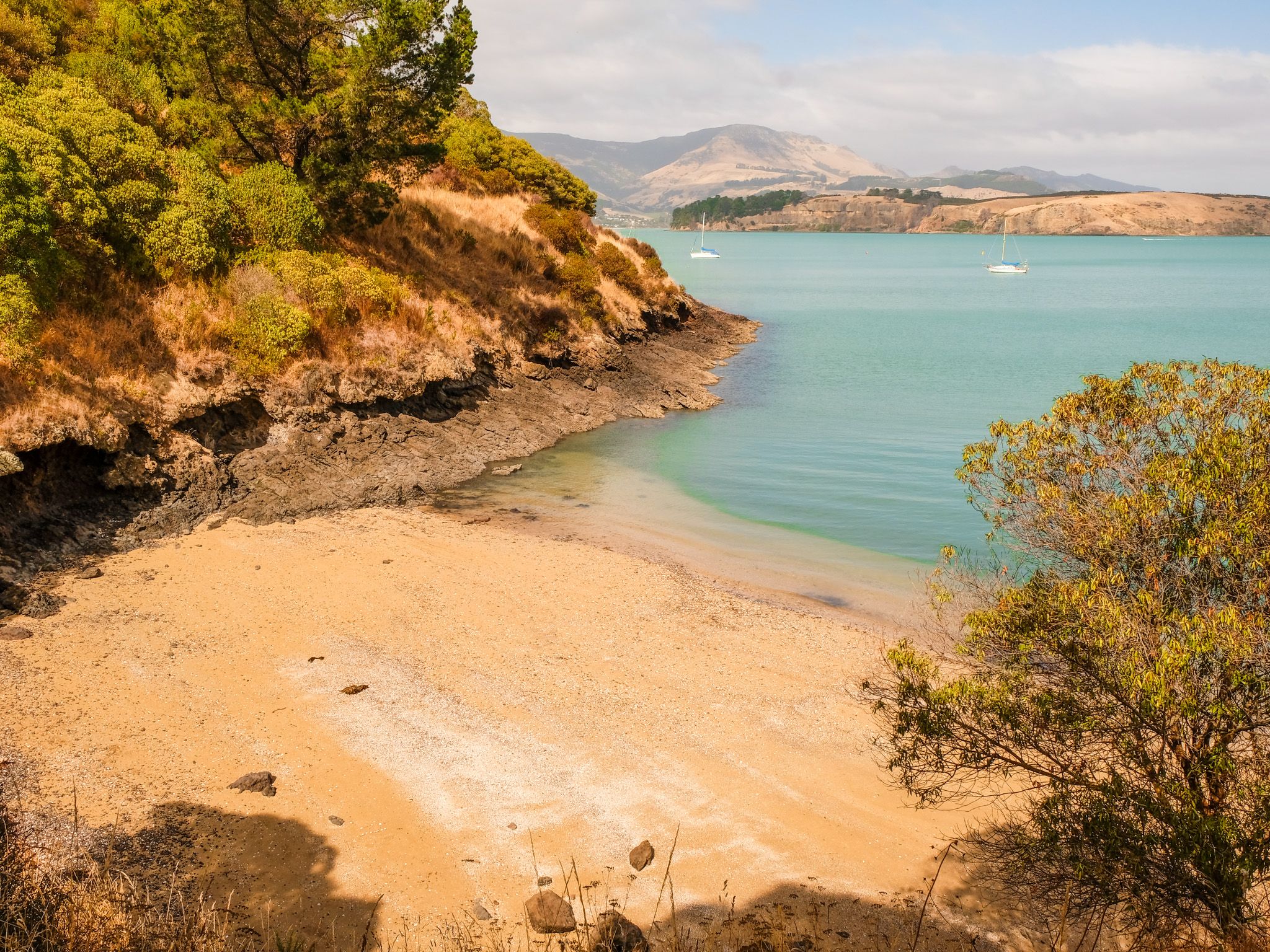
Cass Bay accesses three small beaches linked by a gentle walking track. The main western beach is sandy, around 100 metres wide, with a playground, picnic tables, and toilets on the grassed area above the shore. A stony section separates the western beach from the smaller eastern beach. A third beach, a child-sized golden sand cove, lies further along the Cass Bay to Corsair Bay Track beyond the eastern end of Cass Bay, a lovely find for families. A small boat slipway at the western end is used by kayakers and dinghies.
Swimming and Water Quality
Swimming at Cass Bay is generally pleasant in summer, with calm, relatively warm harbour water. Water quality is monitored weekly from November to March. It can vary, especially after rain, so check current conditions at lawa.org.nz before swimming.
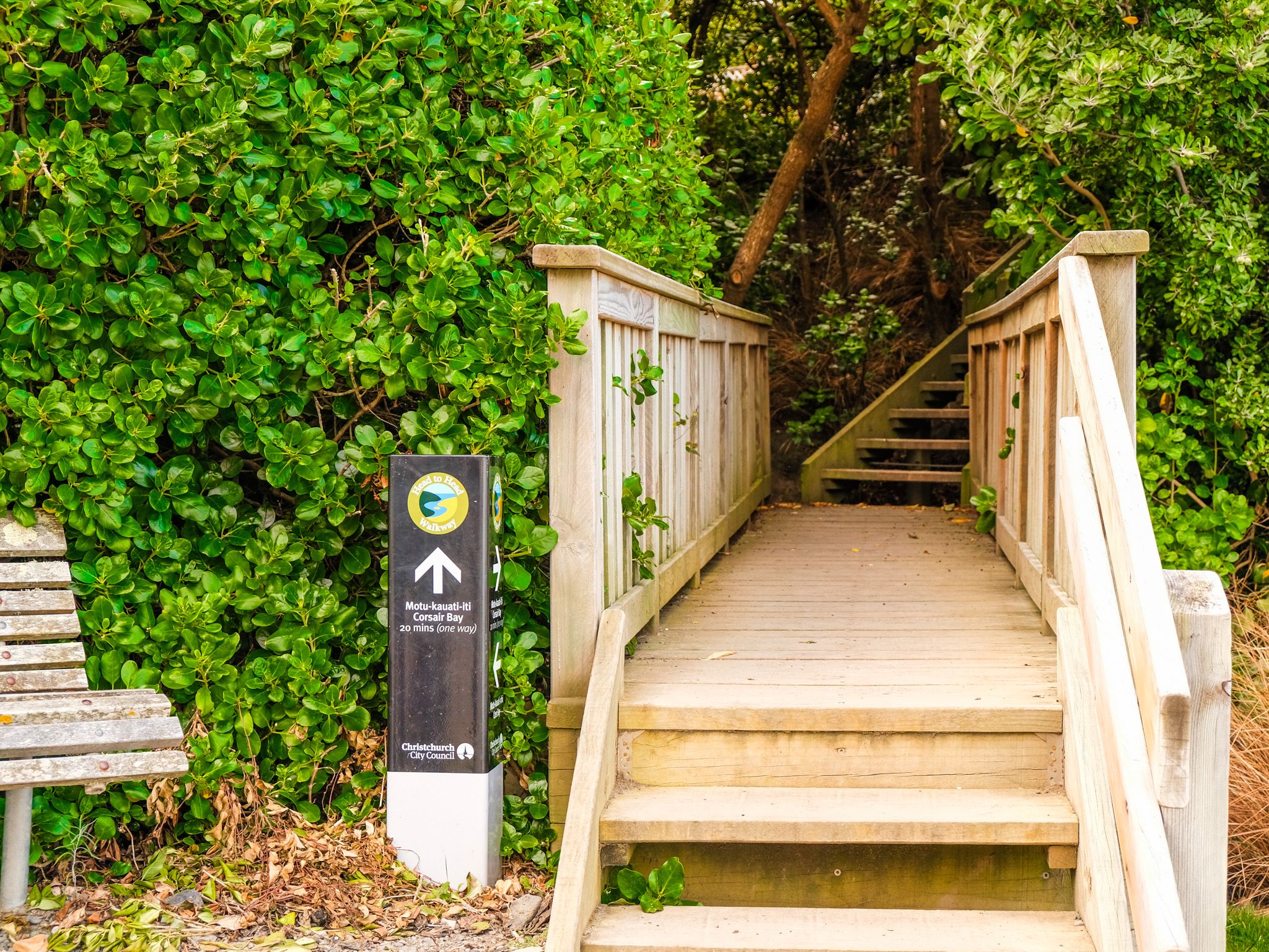
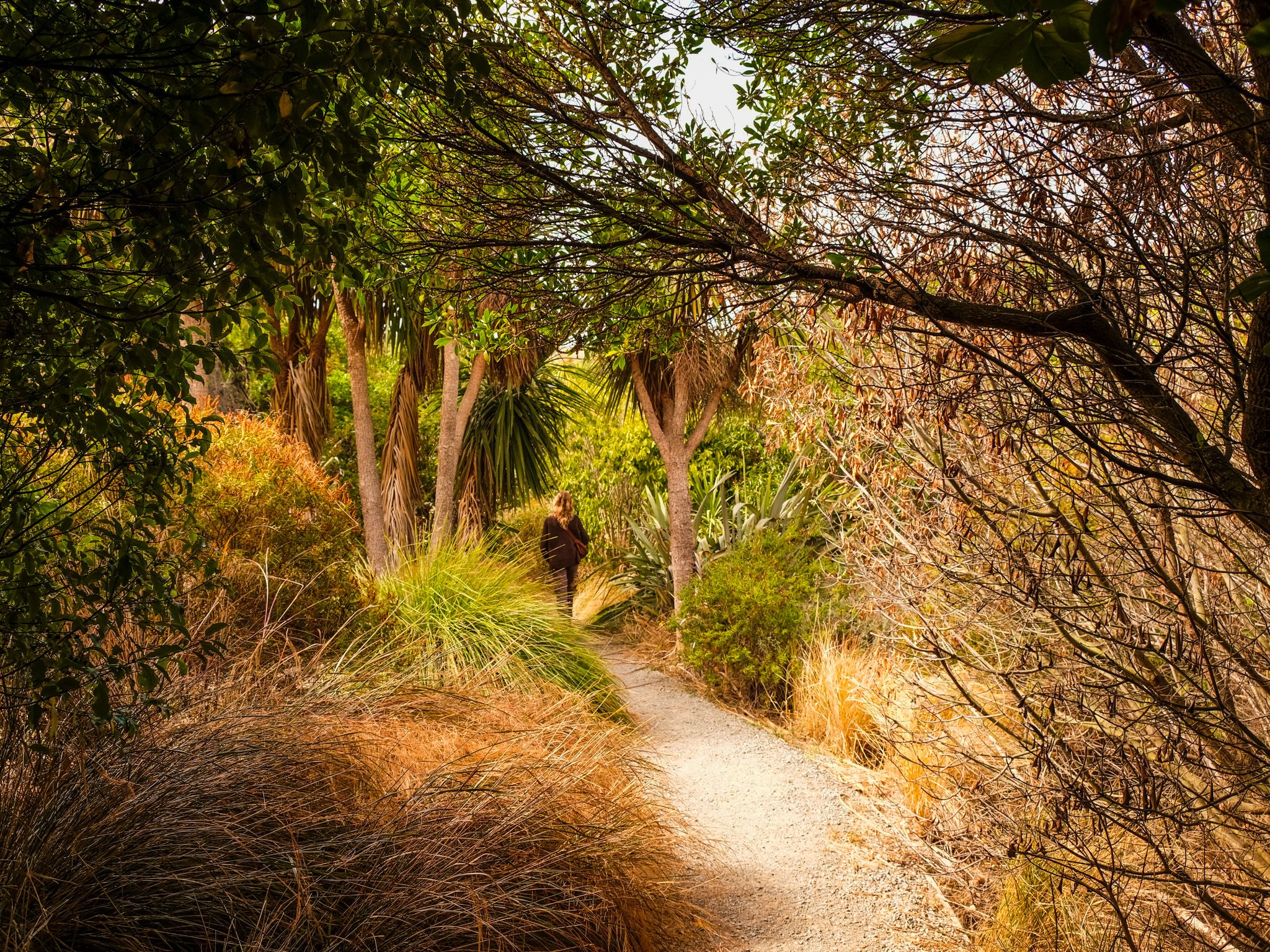
Cass Bay to Corsair Bay Track
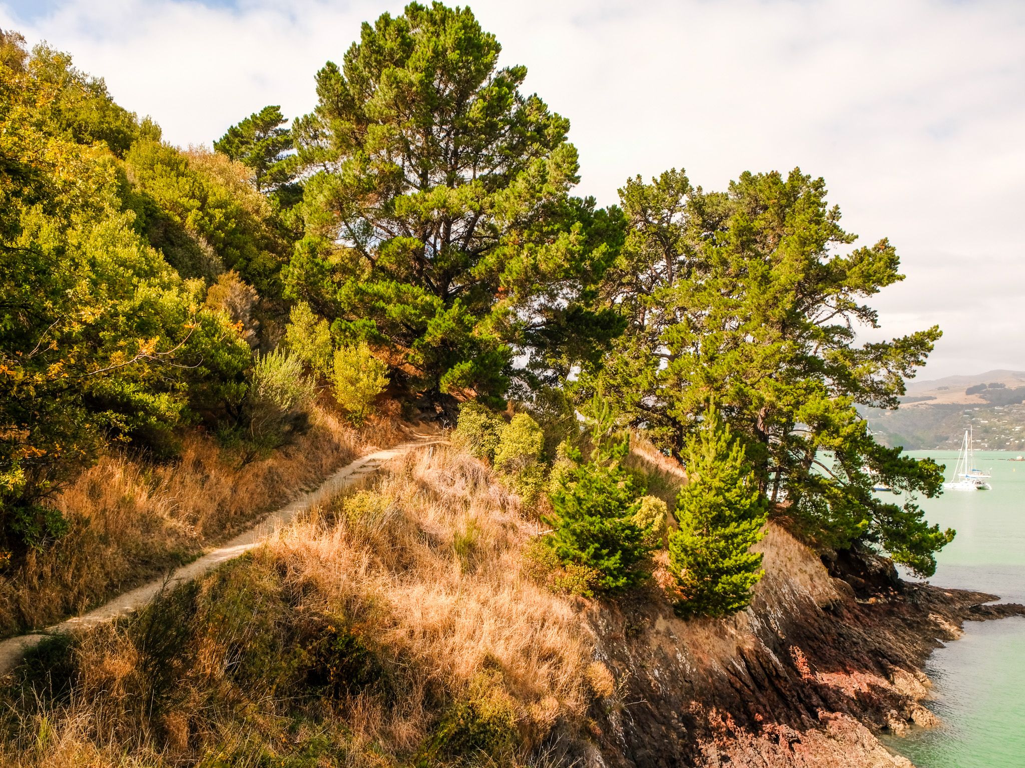
From Cass Bay, a coastal walking track heads northeast toward Corsair Bay, Magazine Bay, and Lyttelton, forming part of the Head to Head Walkway network. The route has some steep sections and stairs, but wonderful harbour views throughout.
Above the western beach, a short, steep track climbs to Pony Point Reserve, a grassy area on the Ōtūherekio headland with native plantings and good harbour views.
How to Get There
From Lyttelton, take the harbour road (Park Terrace, which becomes Governors Bay Road) southwest toward Governors Bay. Cass Bay is approximately 2 km from Lyttelton township, with parking at the bay. From Central Christchurch, use the Lyttelton road tunnel or drive over Dyers Pass and down through Governors Bay to the harbour road, then northeast toward Lyttelton. This drive is around 15 km and takes 25 minutes.
Other nearby places to visit include Sign of the Kiwi, Hoon Hay Reserve and Mt Vernon.