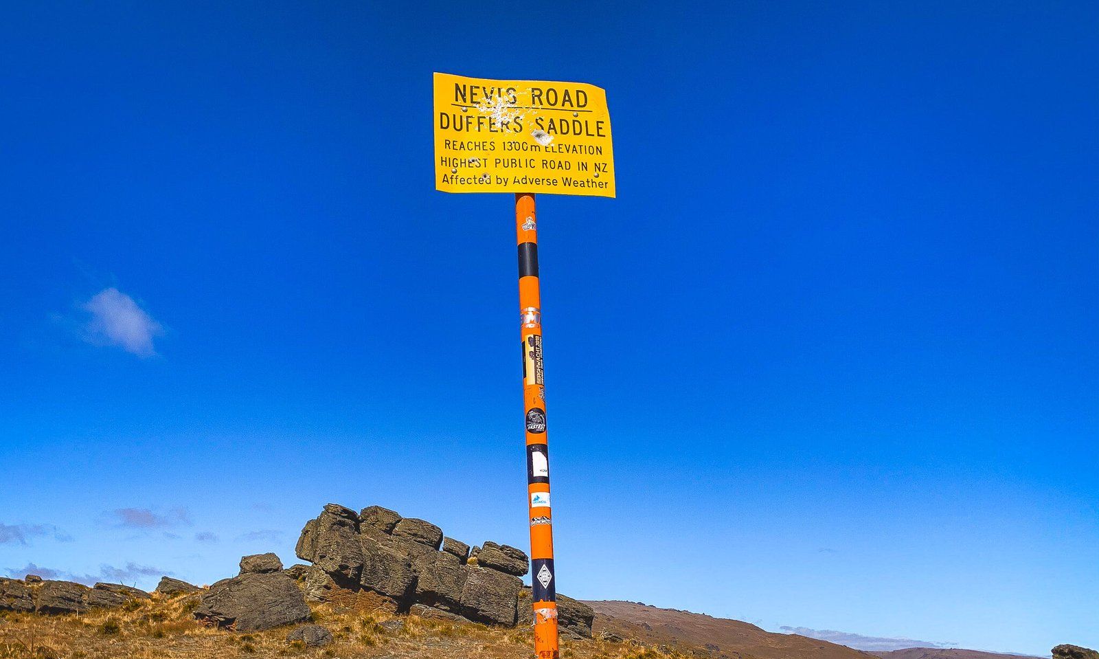
Duffers Saddle: the Highest Public Road
Duffers Saddle, located on the Nevis Road, connects Bannockburn to the Nevis Valley and Garston (with a 4WD). At an elevation of 1,275 metres, amongst the schist and mountain tussocks of Central Otago, it holds the distinction of being the highest point on a public road in New Zealand.
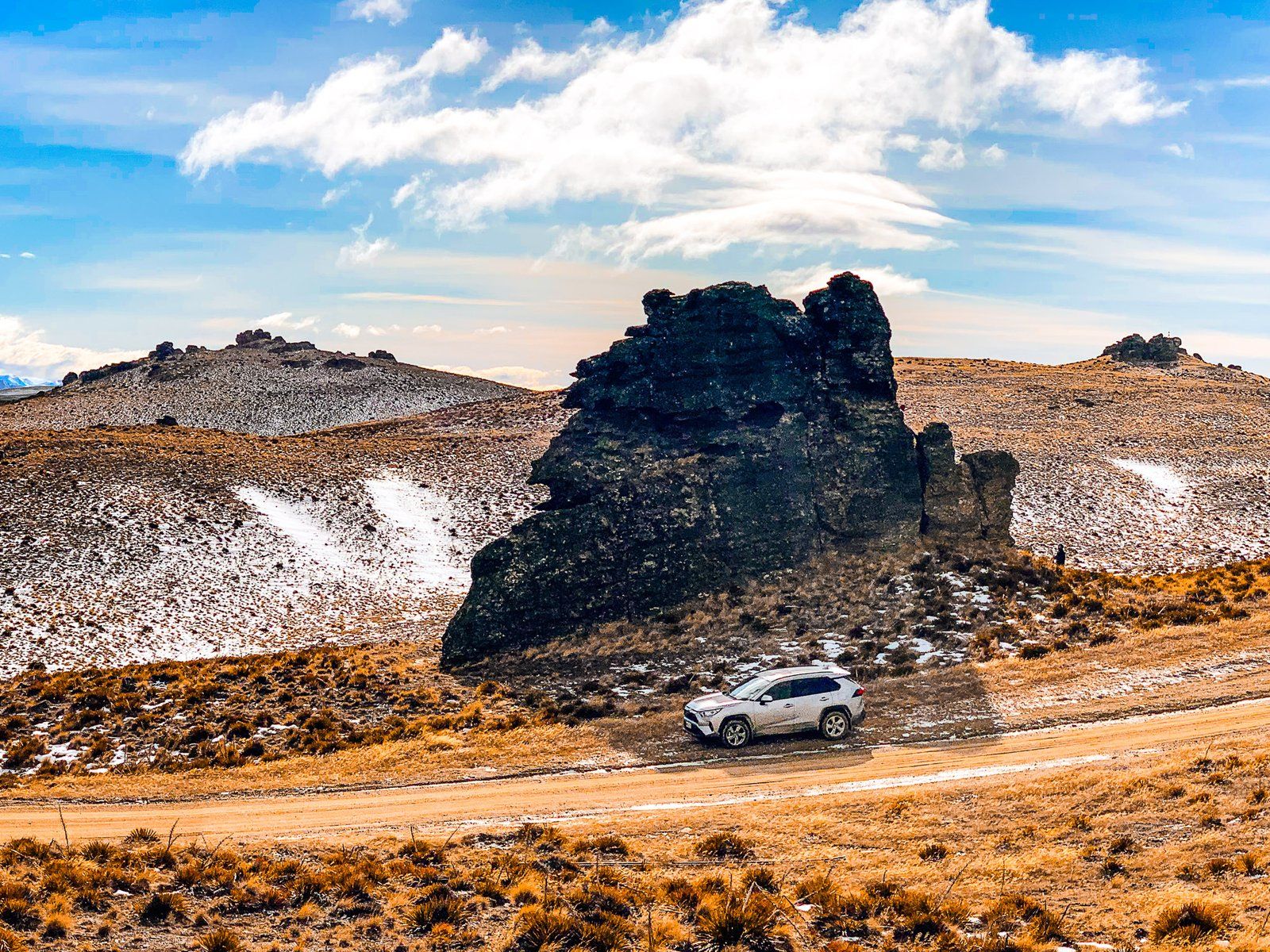
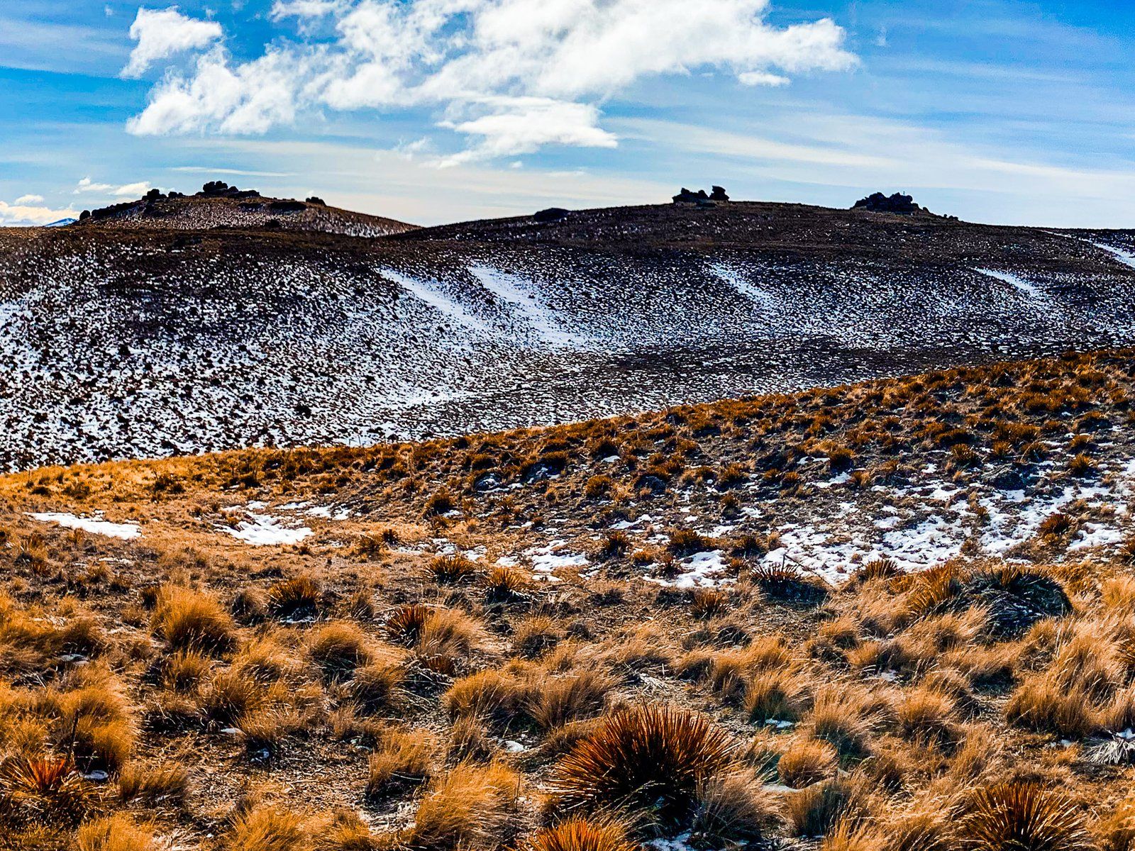
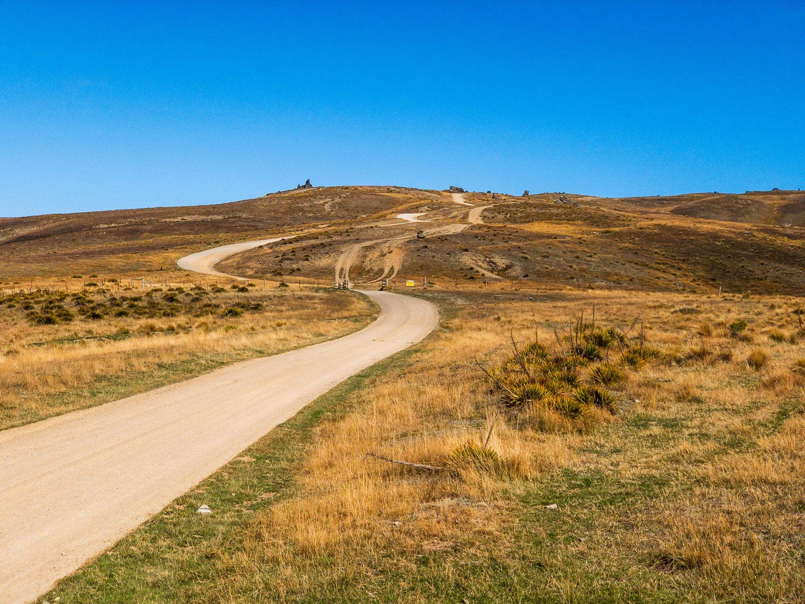
Exploring the Carrick Range
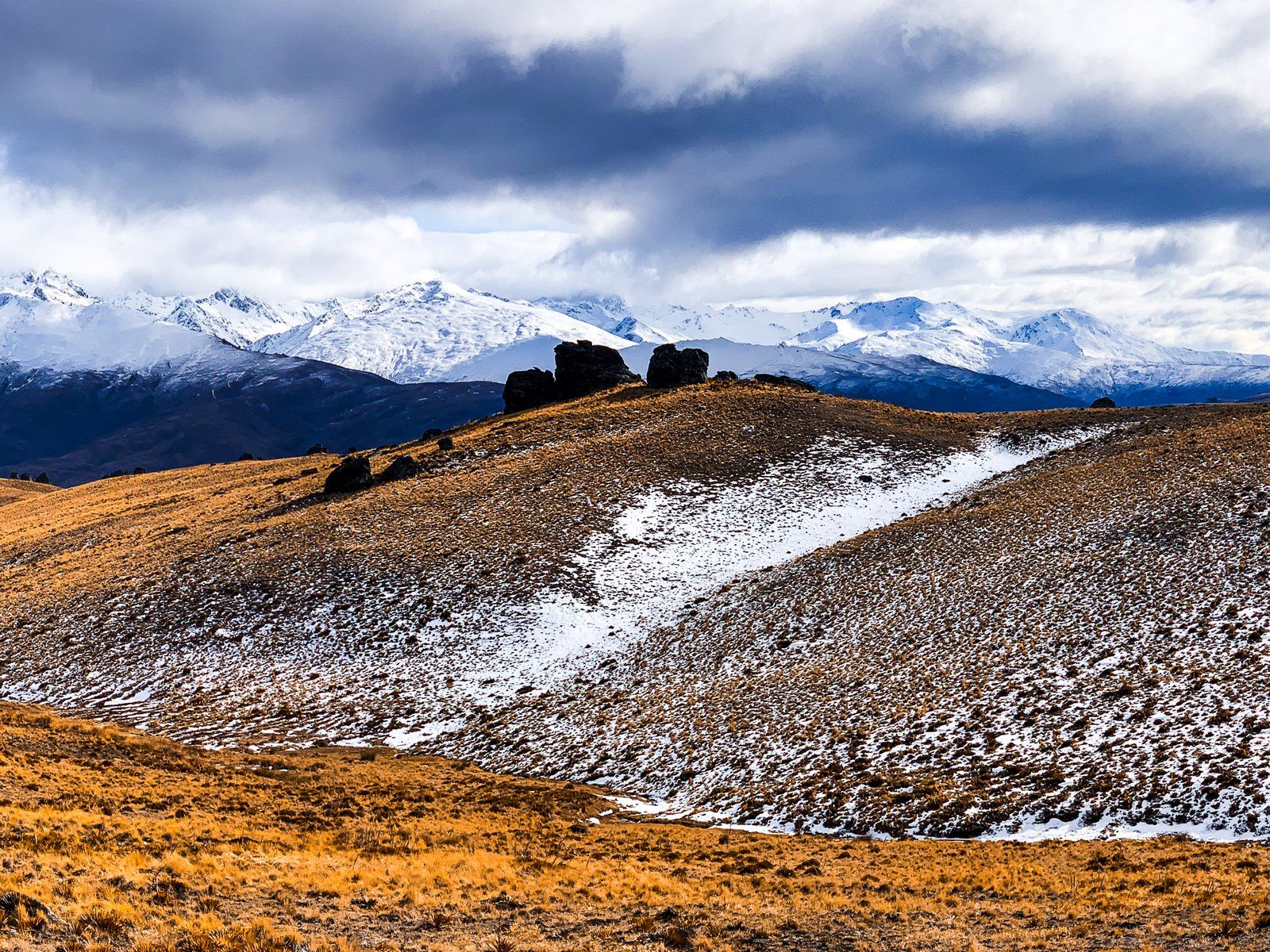
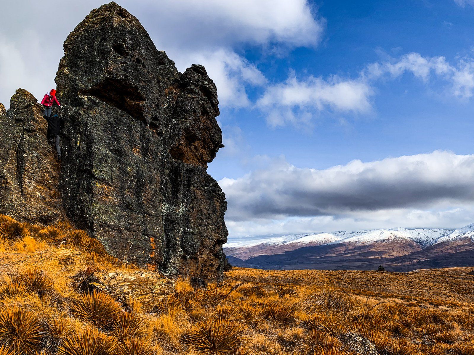
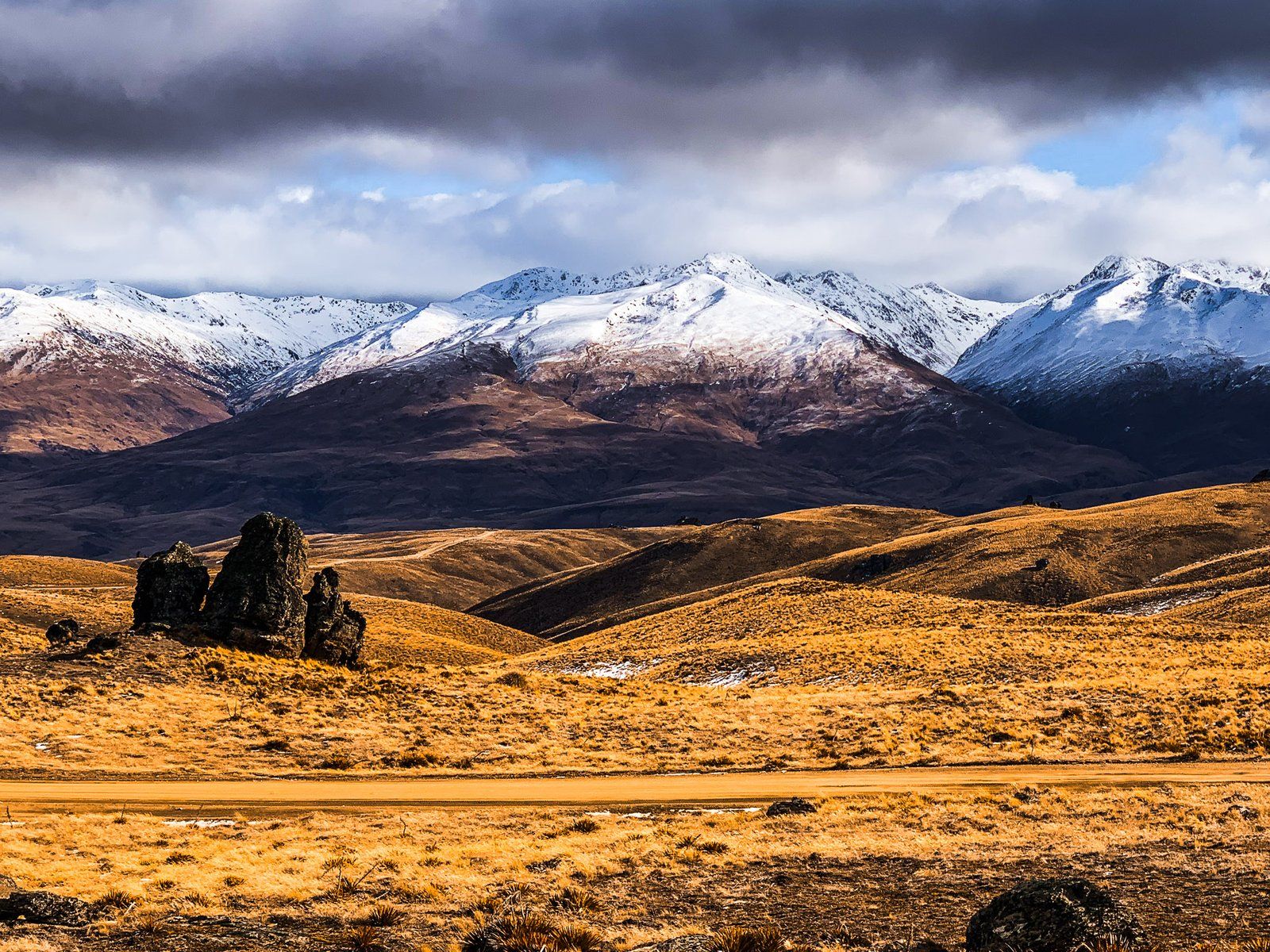
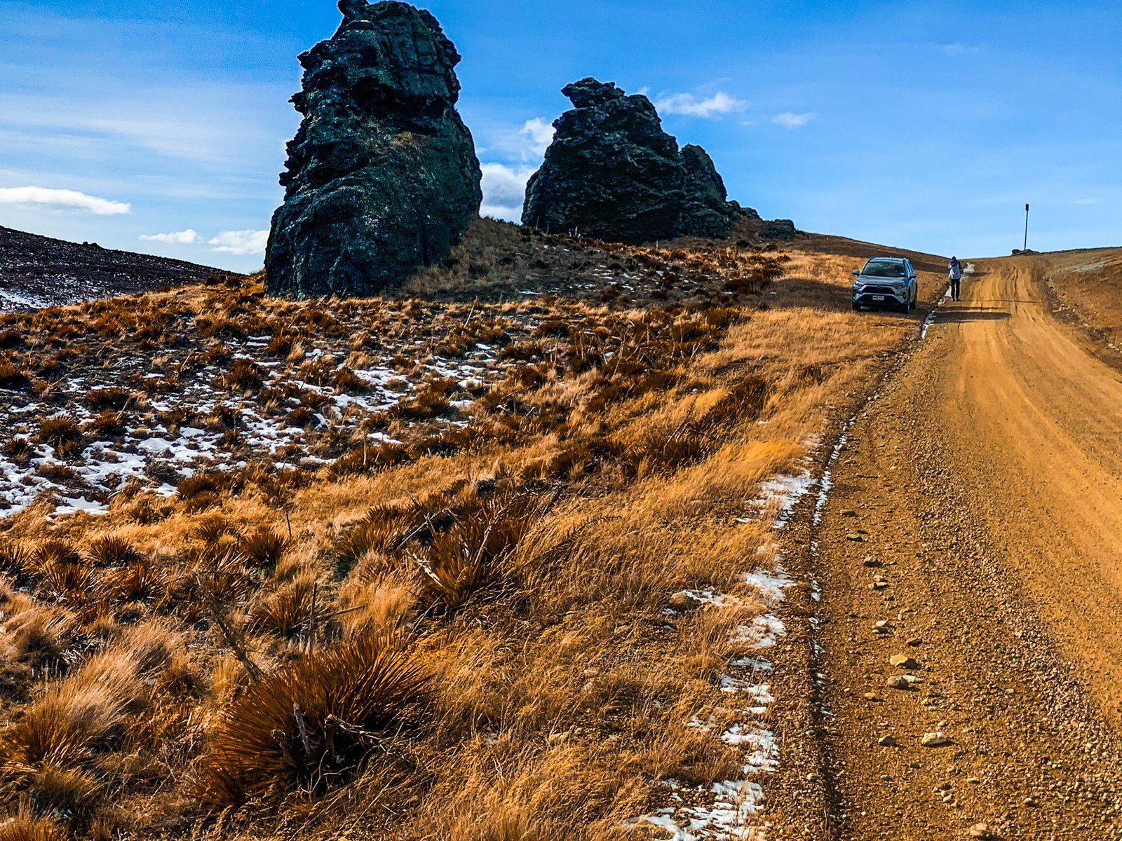
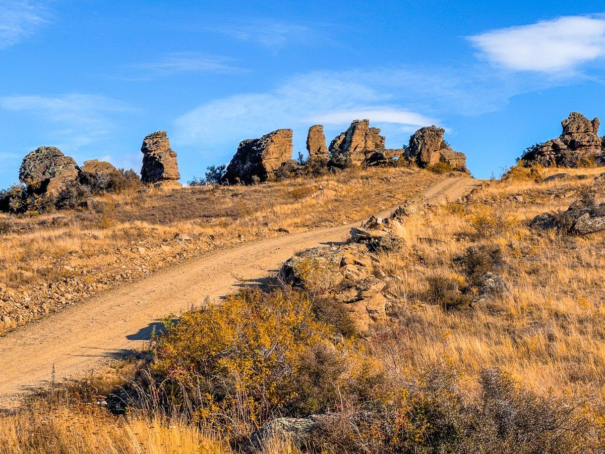
The saddle lies between the Carrick Range to the north and the Old Woman Range to the south. The Carrick Range is relatively low and flat, making it accessible for walkers. The high point of the range is just over 1,300 metres and can be reached by following the Young Australian Historic Reserve Road.
A Department of Conservation (DOC) information board marks the start of this road near the saddle, suitable for both 4WD vehicles and walking. Head north along the 4WD track for a few hundred metres towards two large tors, with the first known as Watts Rock. From here, you can continue along the Carrick Range ridge to explore historic gold mining areas, including the Young Australian Water Wheel Track, which is four kilometres one way.
This route can take you all the way to Bannockburn, either on foot or by bike.
Discovering the Old Woman Range
On the south side of Duffers Saddle lies the Old Woman Range, accessible via a 4WD road to the west of the saddle. The initial section of this road leads to the DOC Old Woman Hut at 1,430 metres and is relatively easy to navigate.
From there, you can continue along the ridge line of the range to the Old Man Range / Kopuwai and the Obelisk, above State Highway 8 and the Clutha River / Mata-Au.
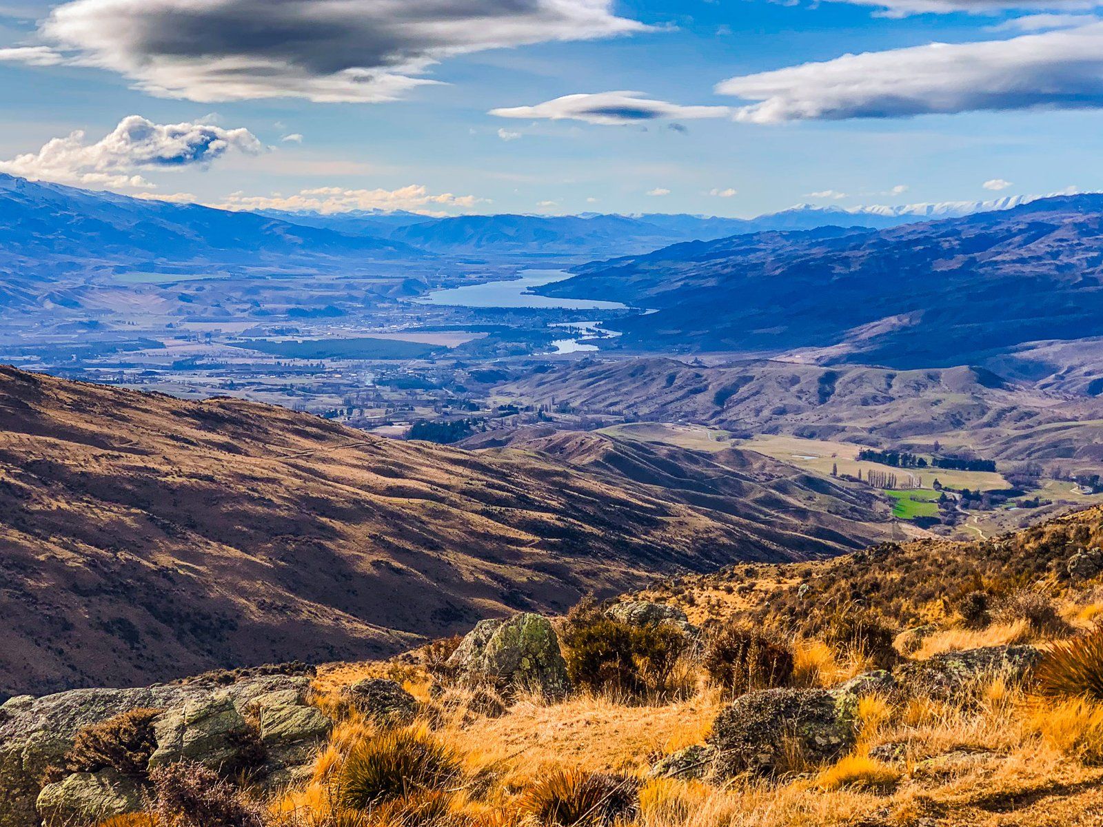
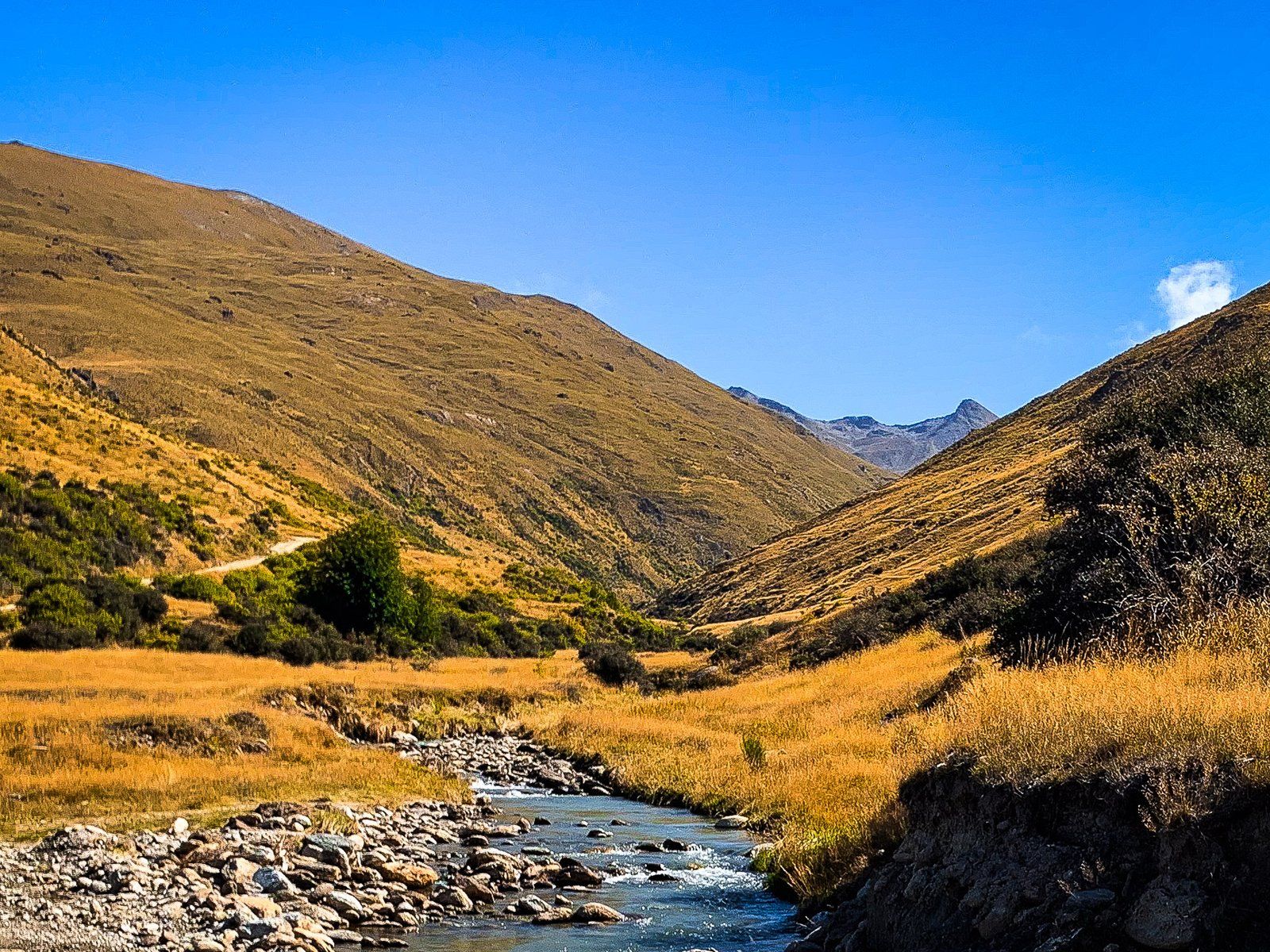
Views from Upper Potters Creek Track
Continuing west from Duffers Saddle for about three kilometres, you will reach the start of the Upper Potters Creek Track. A short walk along this track provides excellent views of the Nevis Valley and the Hector Range to the west, with peaks reaching up to 2,300 metres.
How to Get There
To reach Duffers Saddle from Bannockburn, head south on sealed Bannockburn Road to the intersection with Hawksburn Road and Nevis Road. Follow the gravel Nevis Road to Duffers Saddle. This road is rough and narrow in places, but negotiable in a 2WD car. Be aware that it can be affected by snow and ice in Winter, though generally only for short periods.
The drive down to the Nevis River and Nevis Valley is straightforward, but beyond the Nevis Valley, the road to Garston is accessible only to 4WD vehicles. You can drive Nevis Road from Garston to the Roaring Lion Trail and Historic Ski Hut in a 2WD.
Other places to visit near Bannockburn include Kawarau Gorge and Cromwell.