Exploring the Hillary Trail, Te Ara Tūhura
The Hillary Trail, Te Ara Tūhura, was a multi-day tramping experience through the Waitākere Ranges of Auckland, created to honour Sir Edmund Hillary. This trail offered a rugged adventure with steep, often muddy terrain, showcasing the area’s natural beauty.
Trail Overview and Route
The trail was badly affected by Kauri Dieback, then by storms, with some sections still closed and others subjected to substantial long-term damage, especially on the Te Henga Walkway. Although Auckland City no longer promotes teh trail as such, the Ed Hillary markers can still be seen on the sections that have reopened, and you can now hike from Huiia to Whatipū, then to Karekare and Piha, and finally as far as Anawhata. There are several campsites along the way.
Scenic Highlights and Trail Conditions
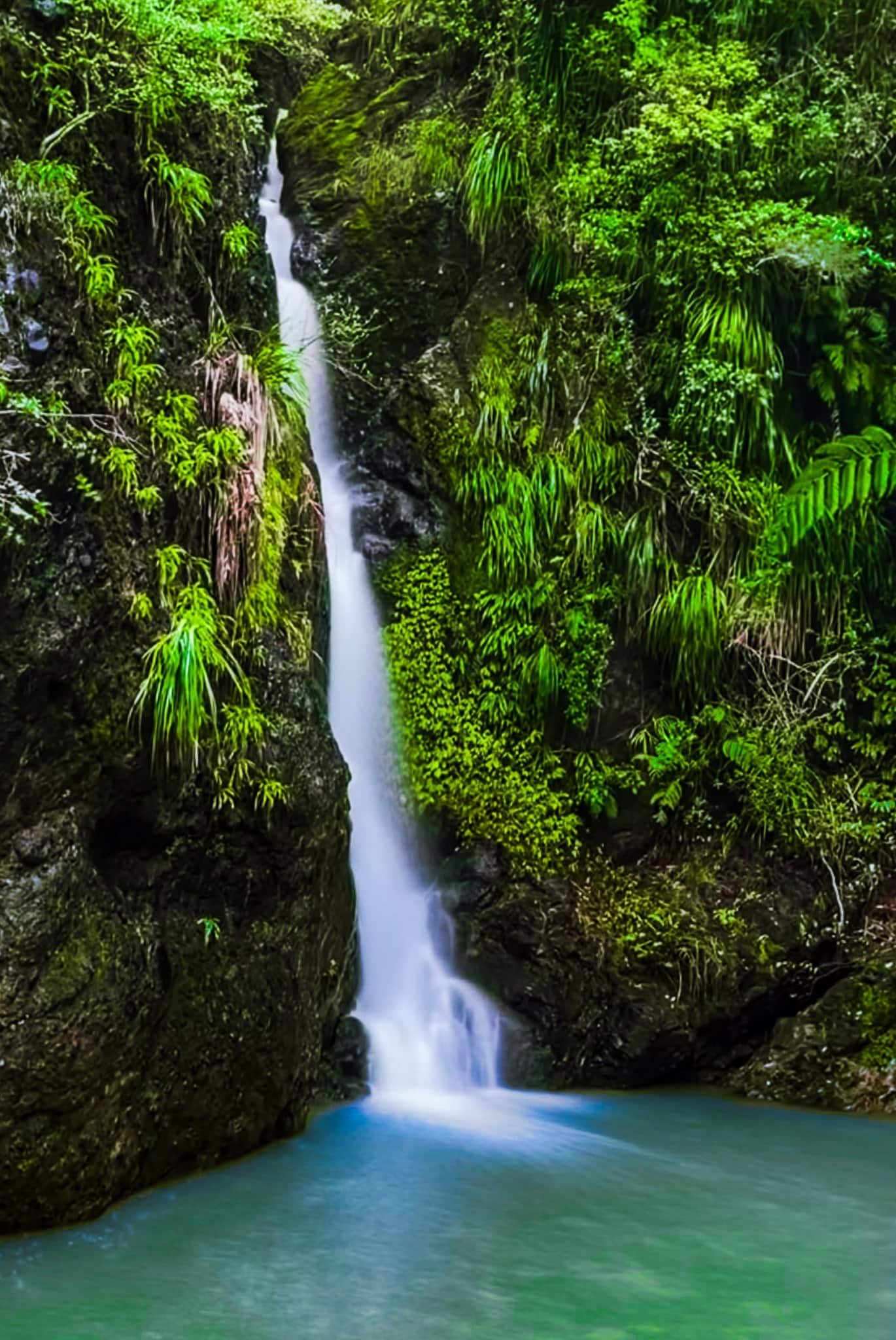
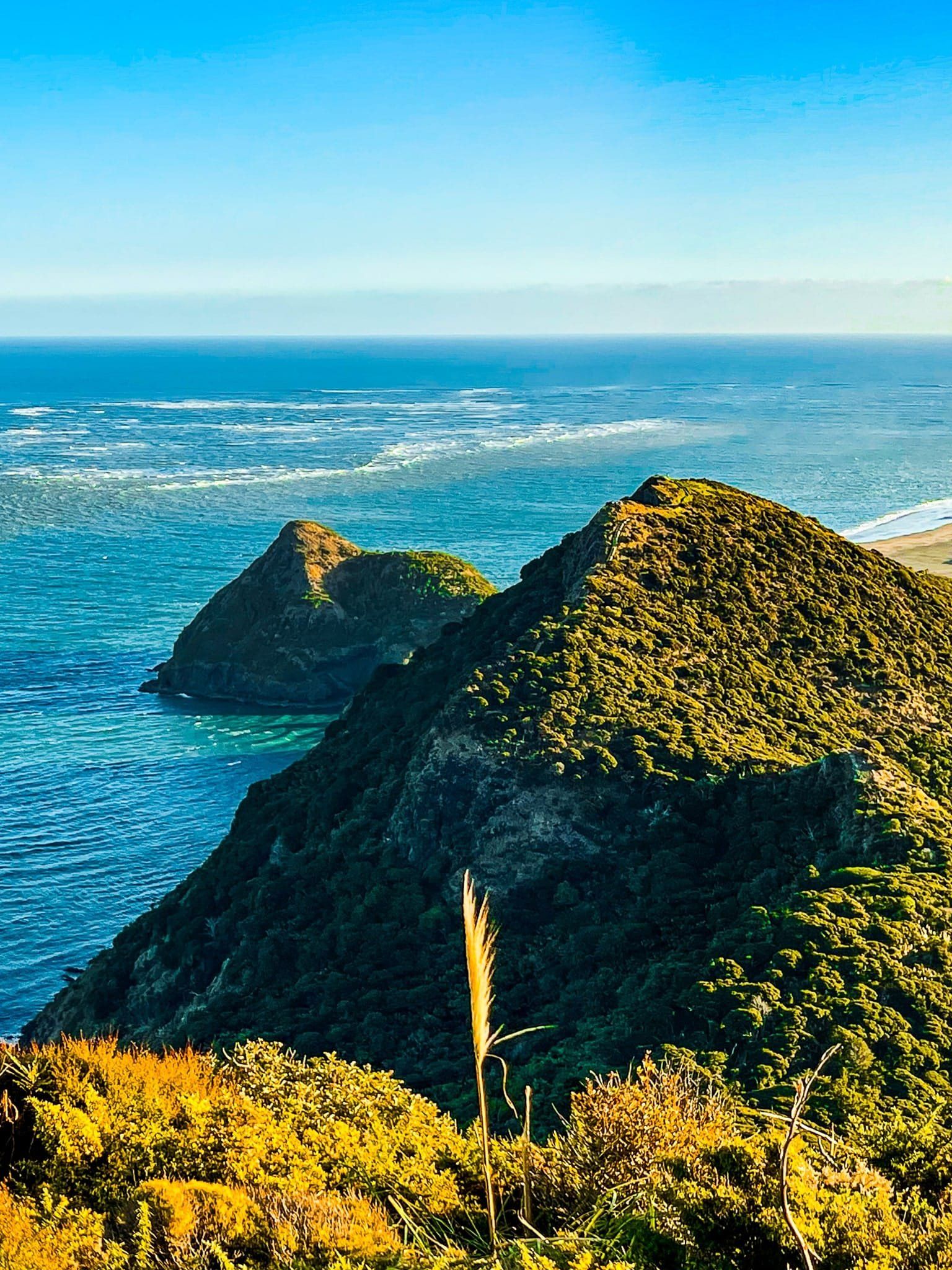
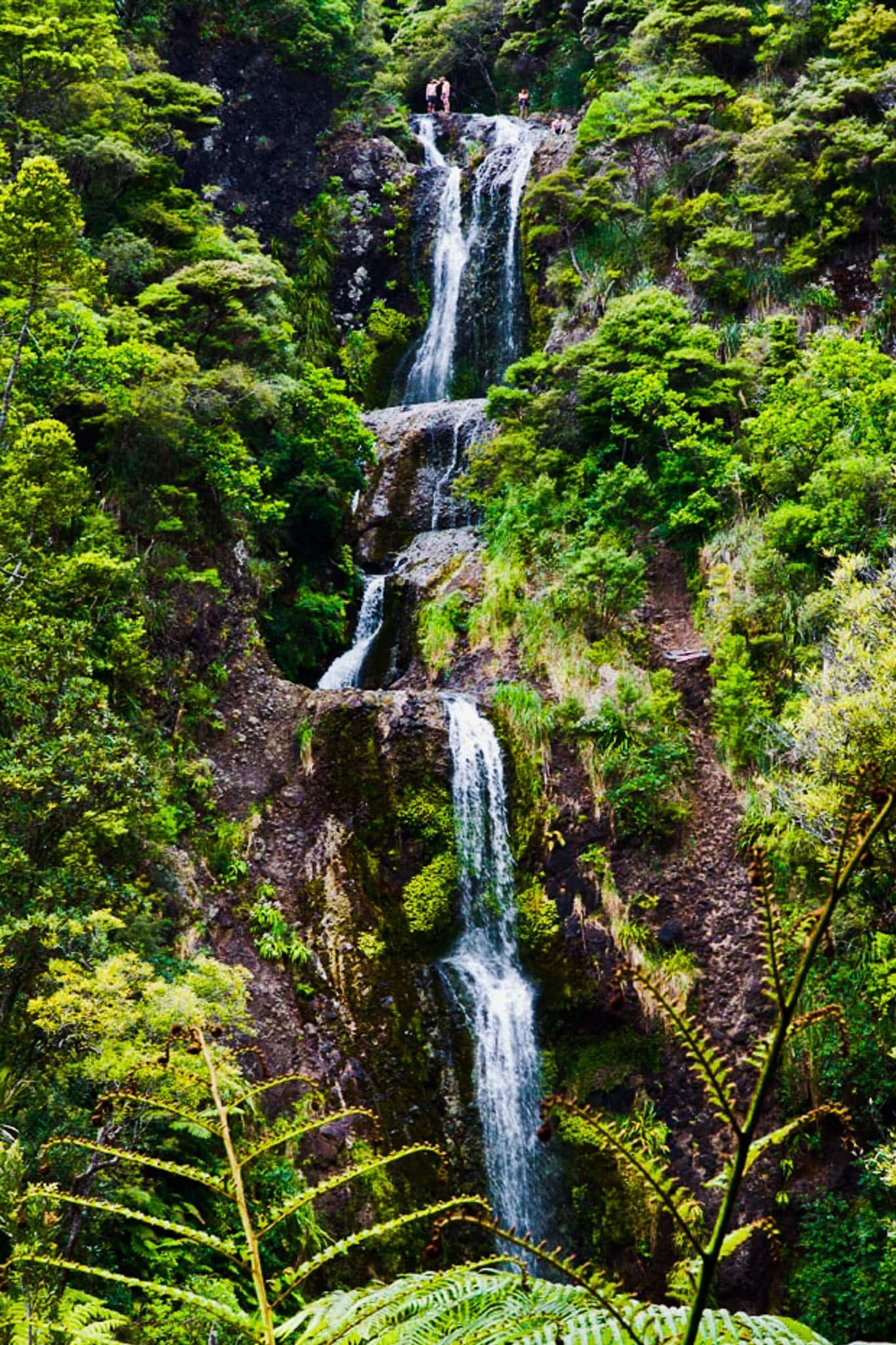
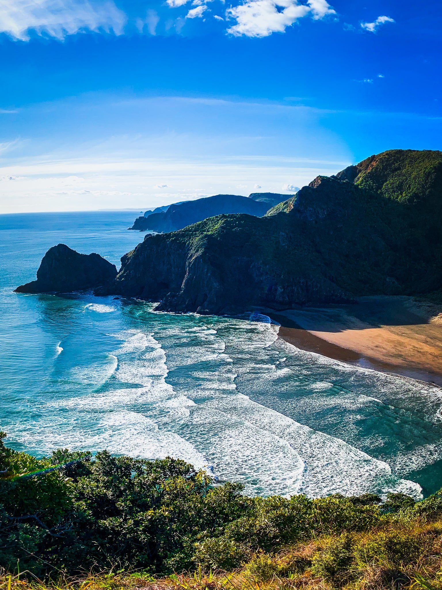
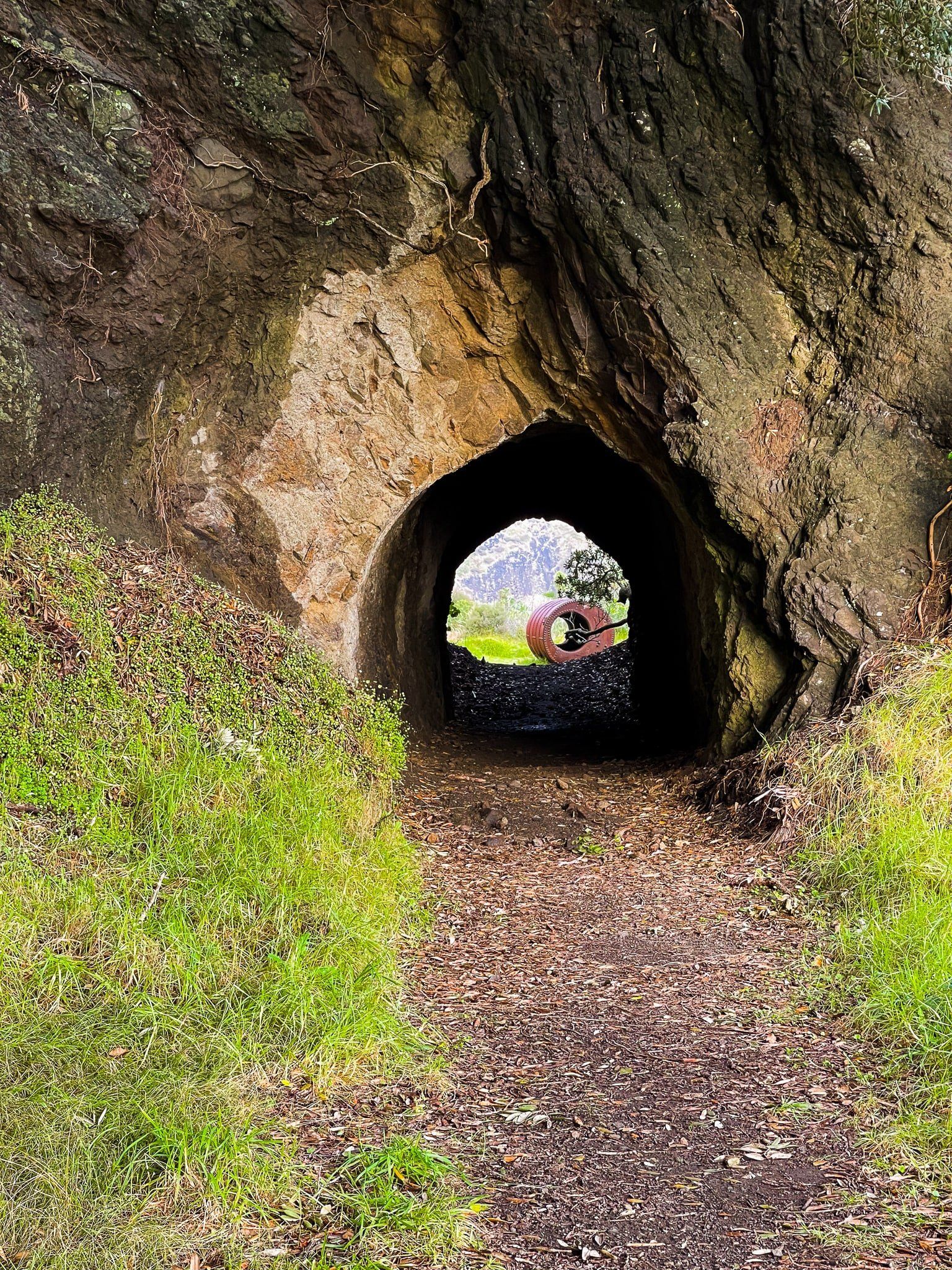
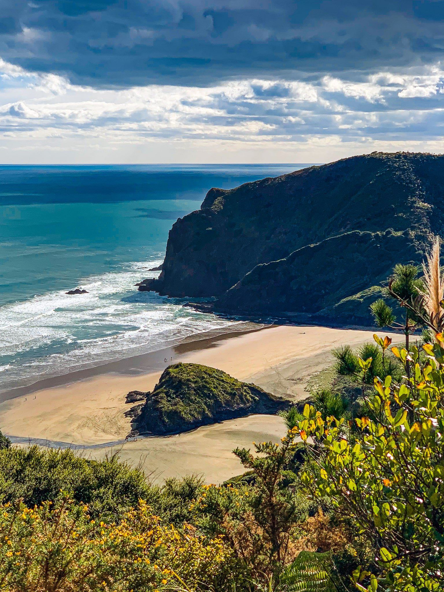
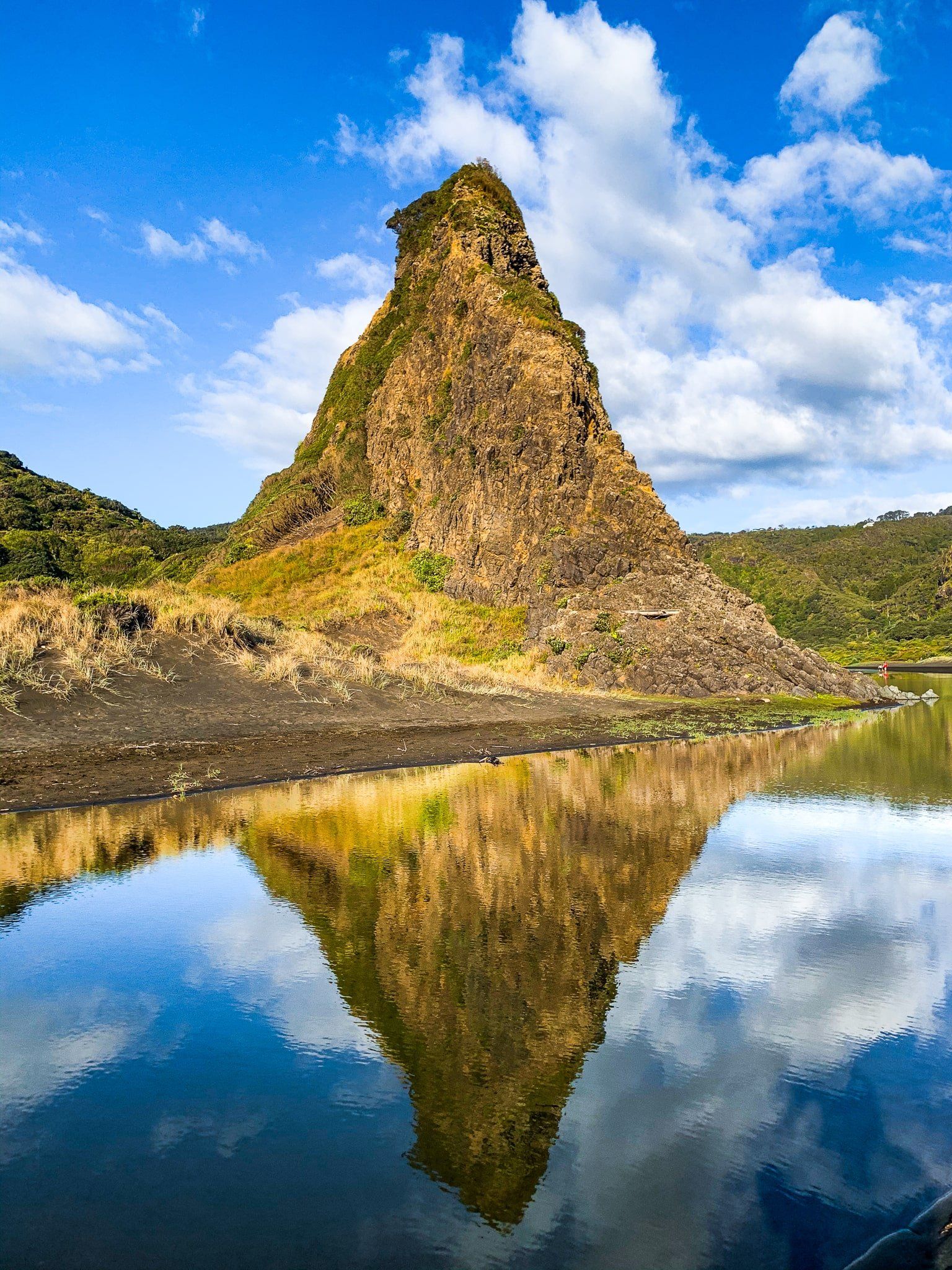
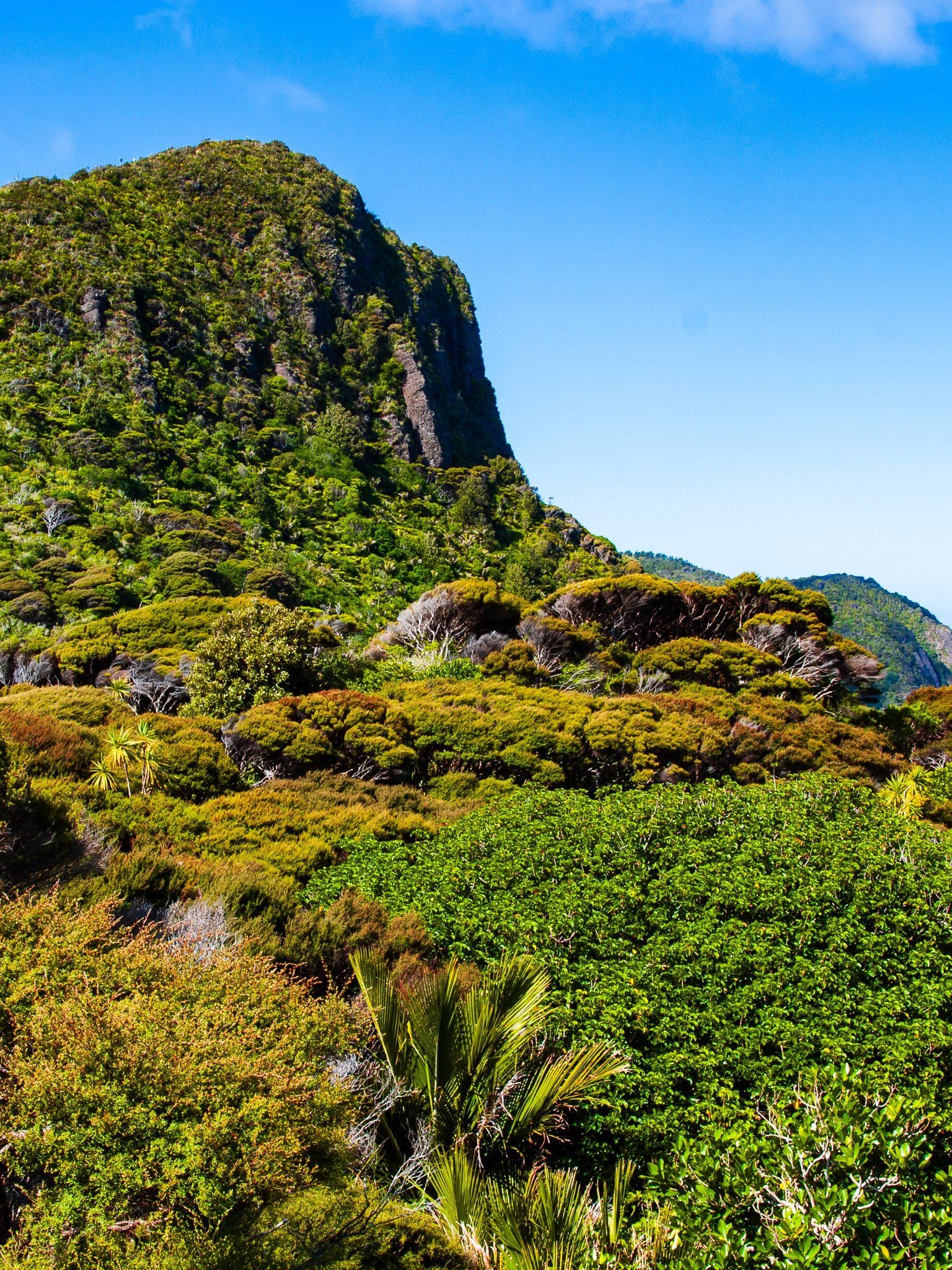
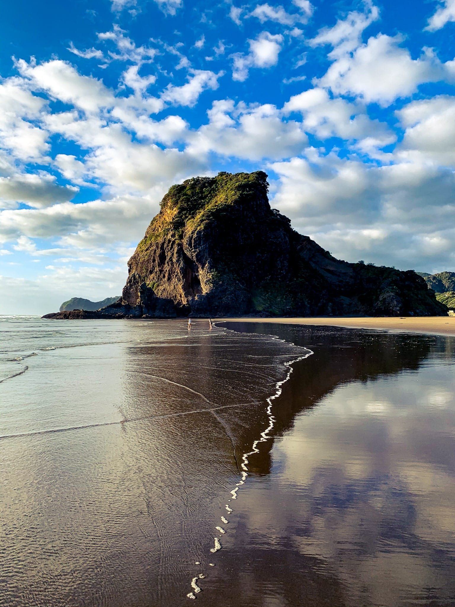
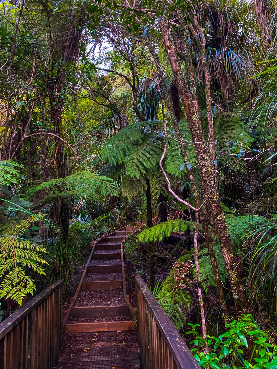
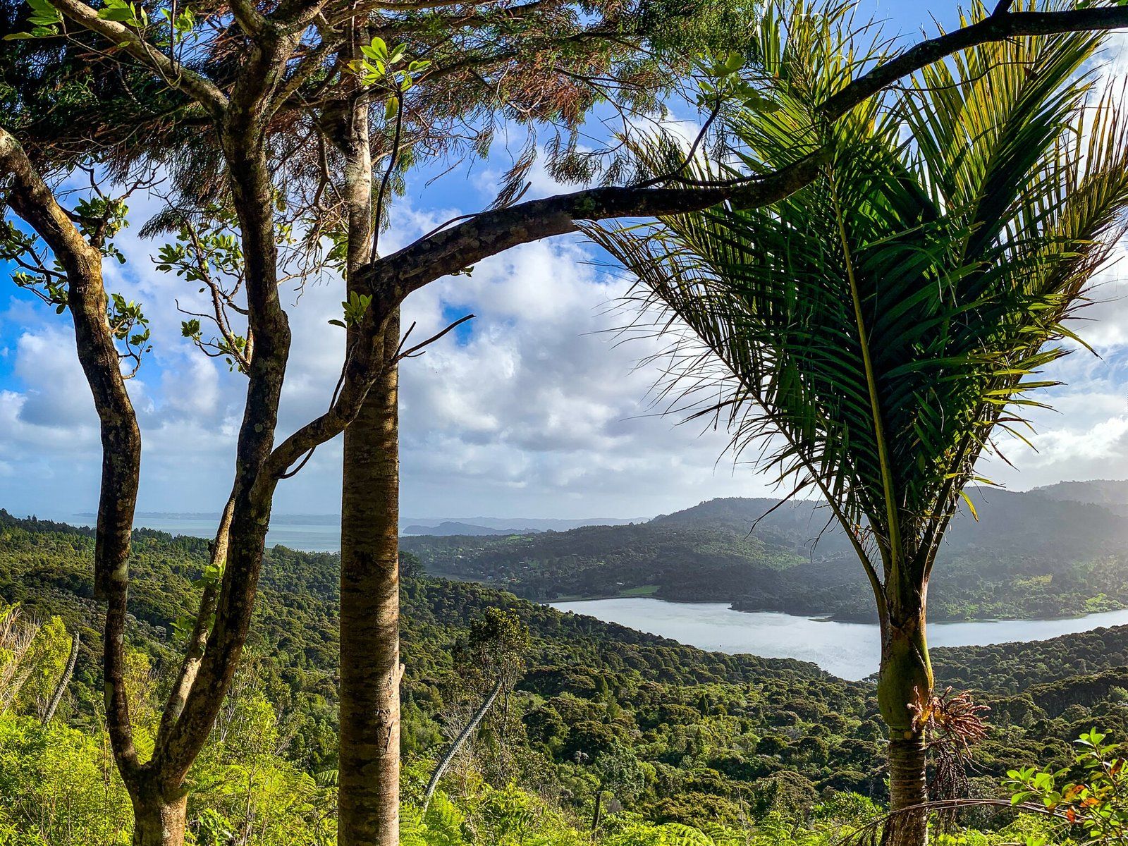
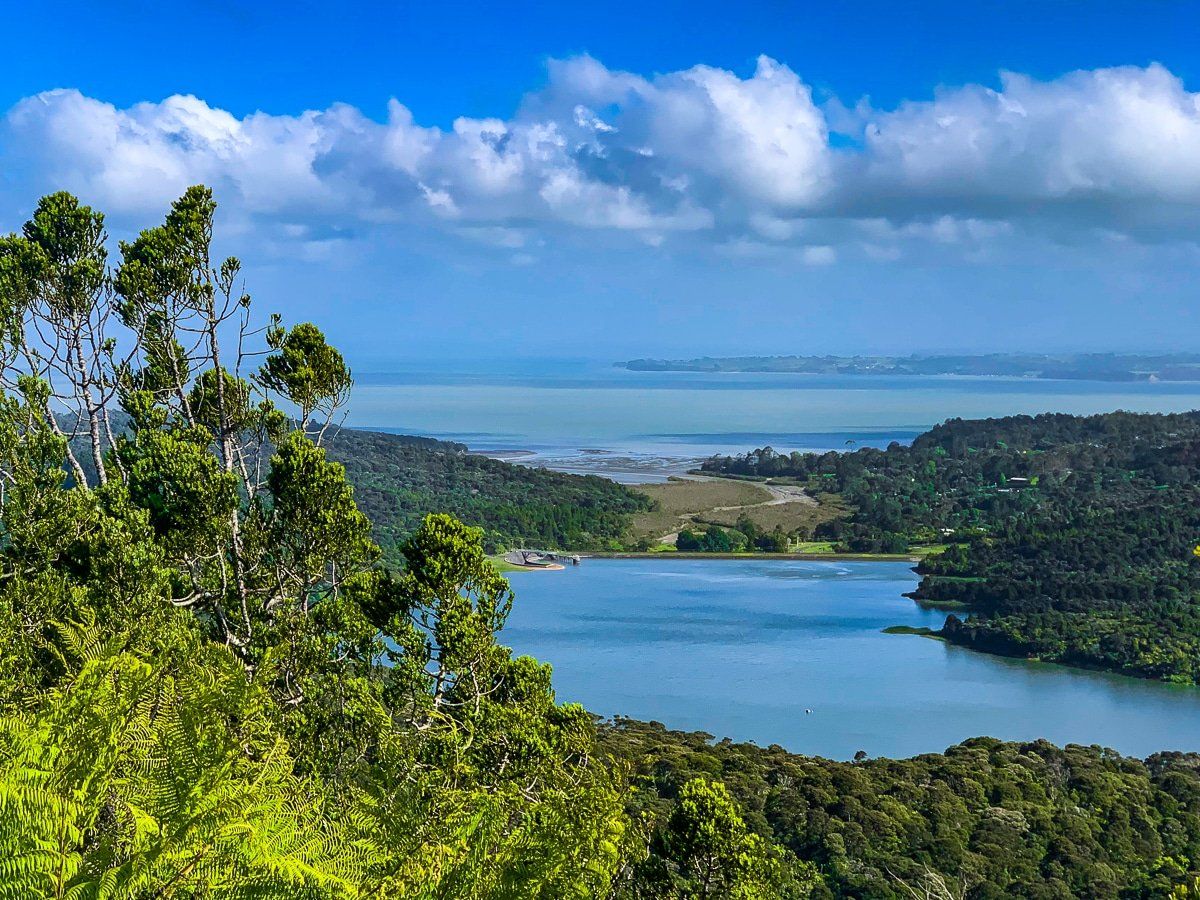
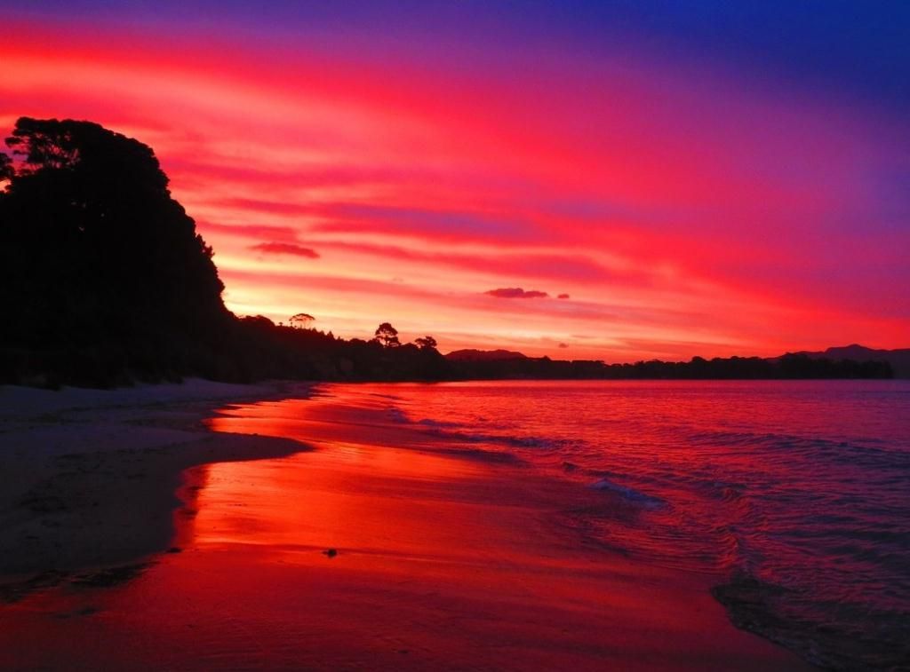
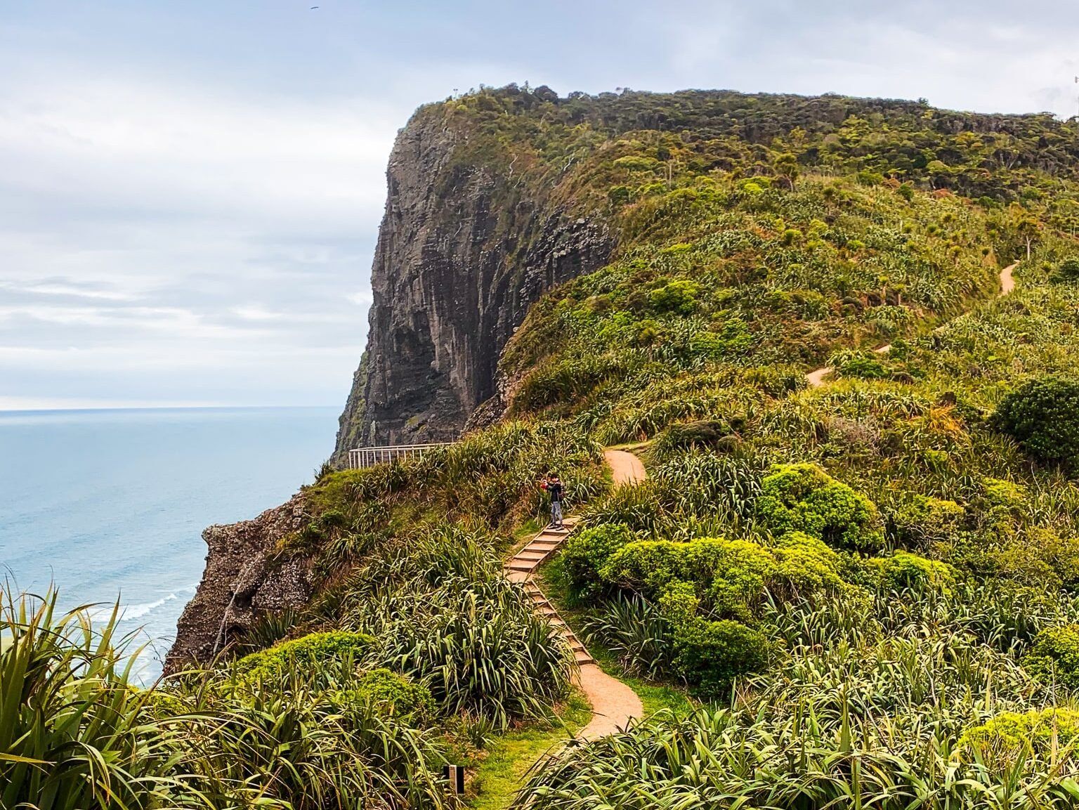
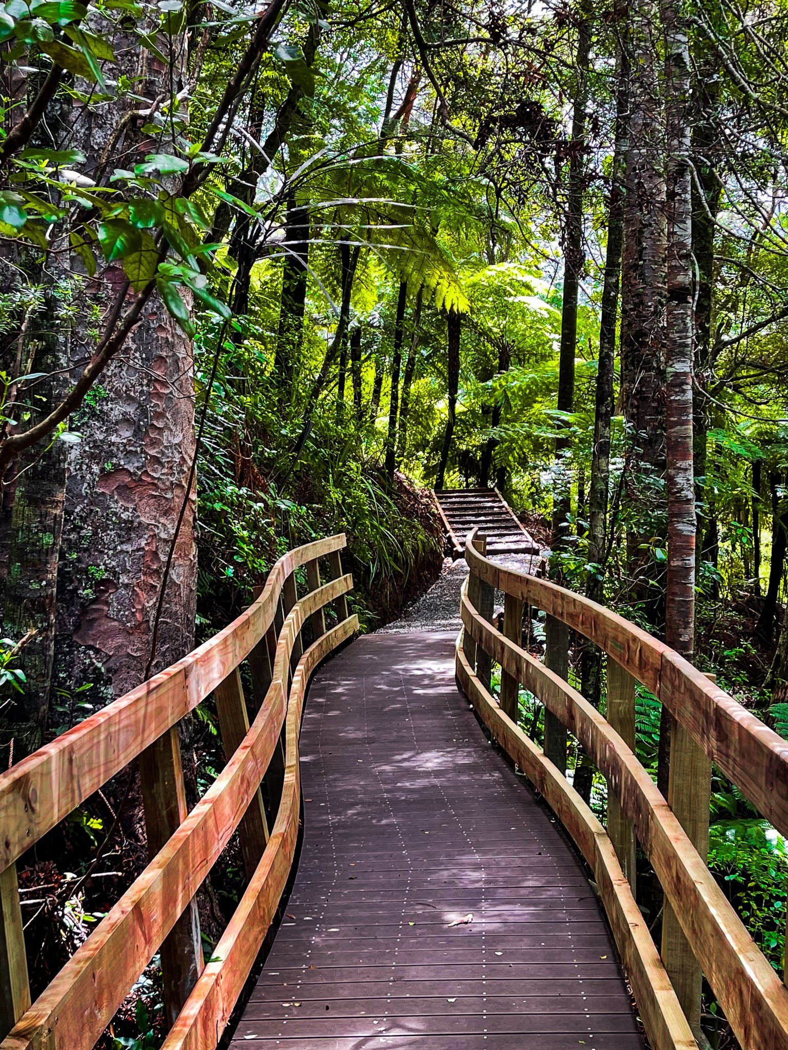
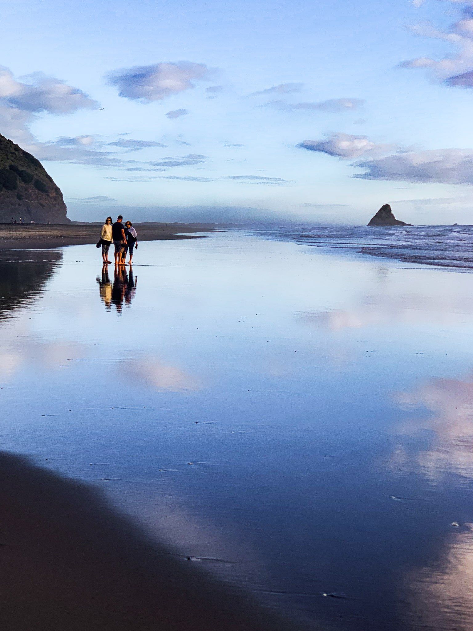
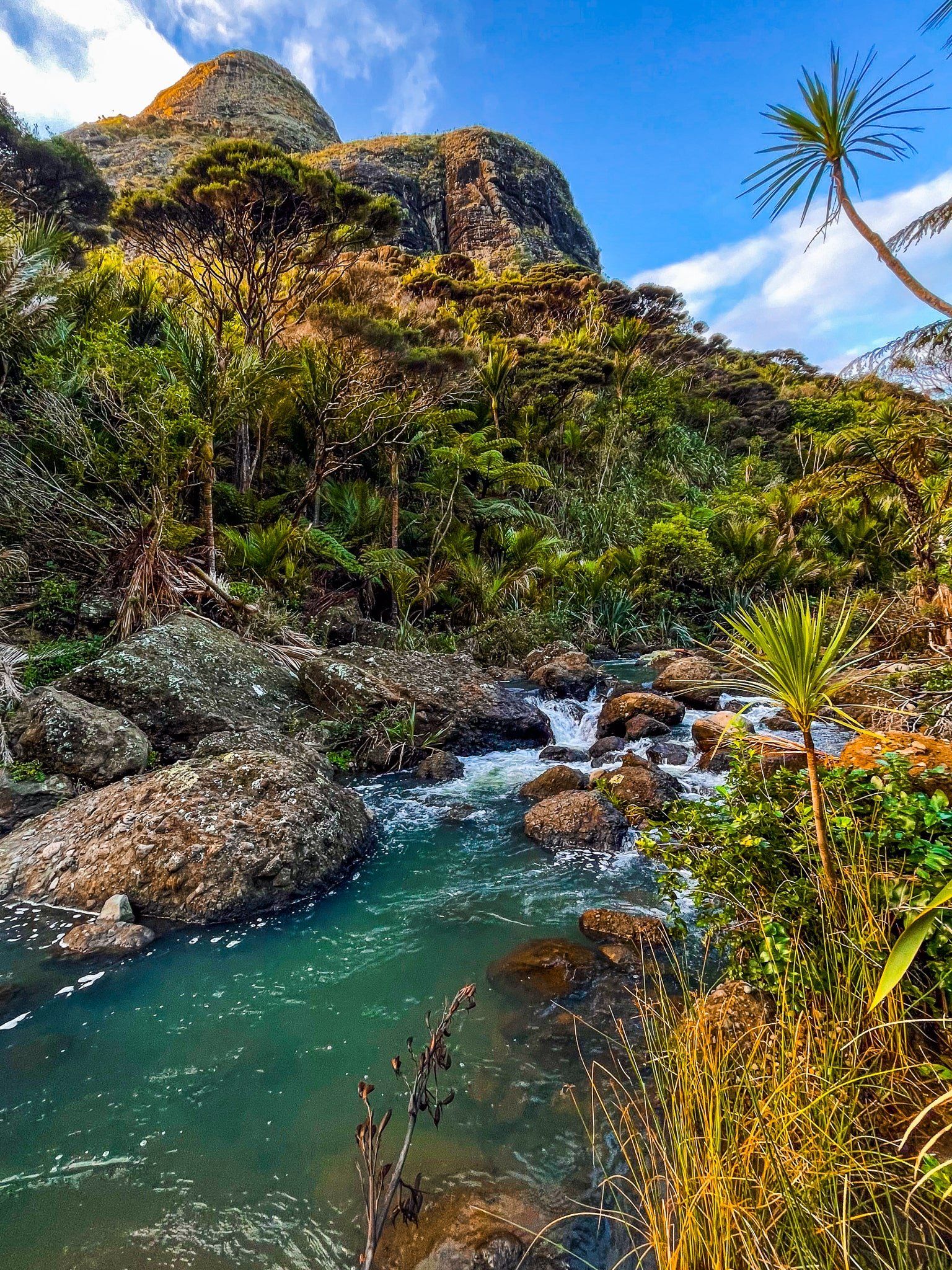
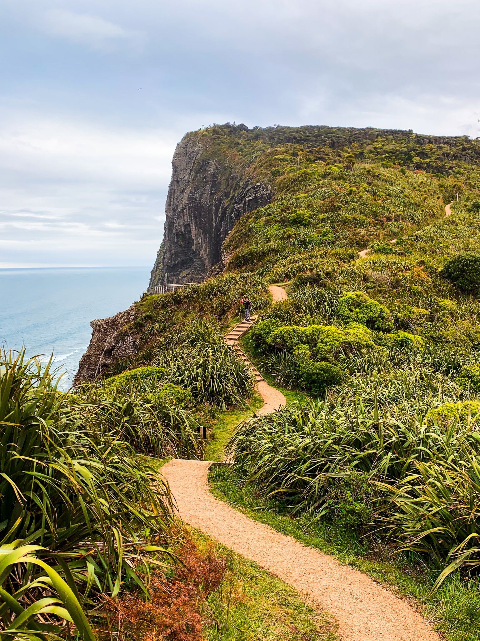
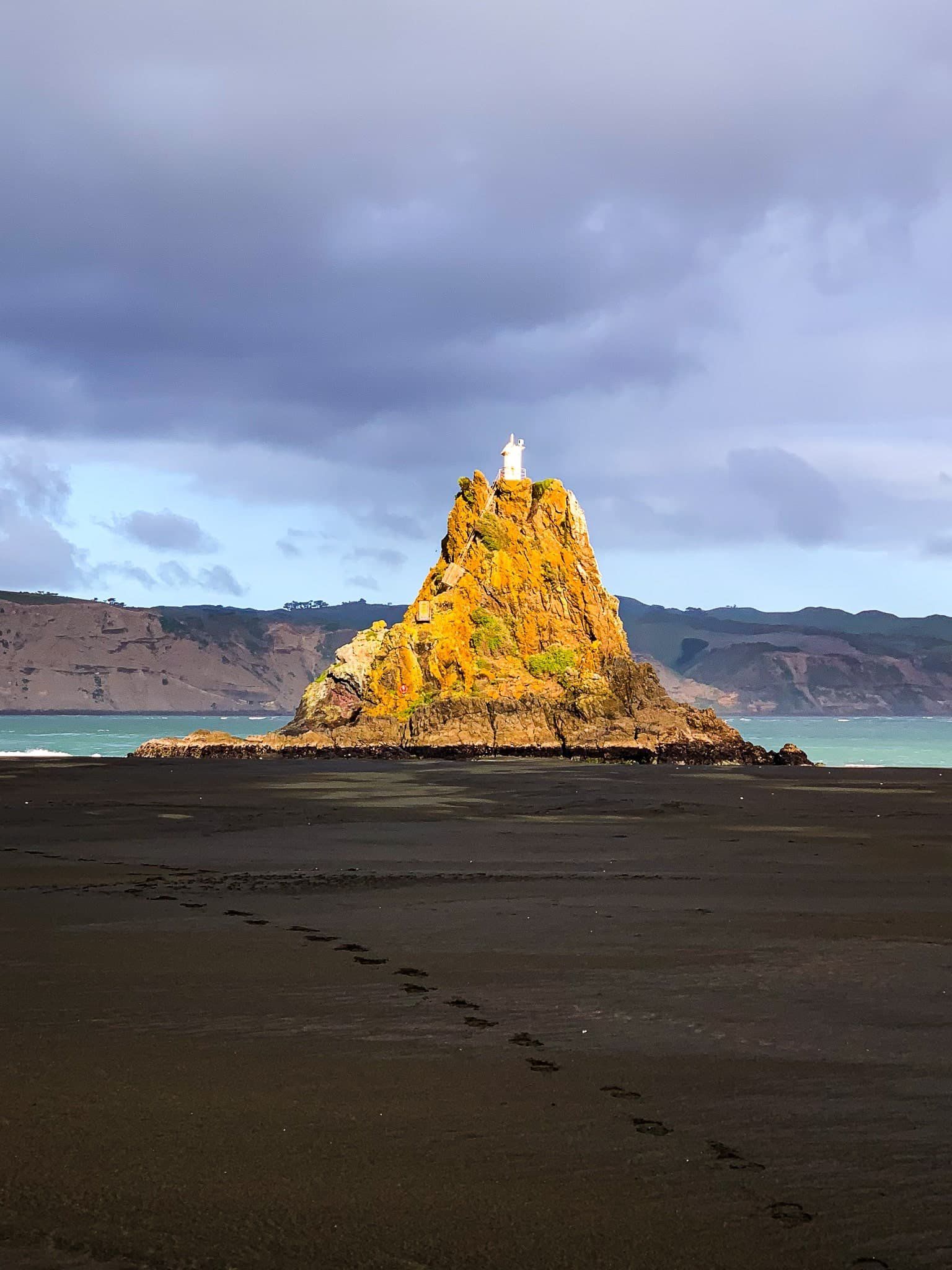
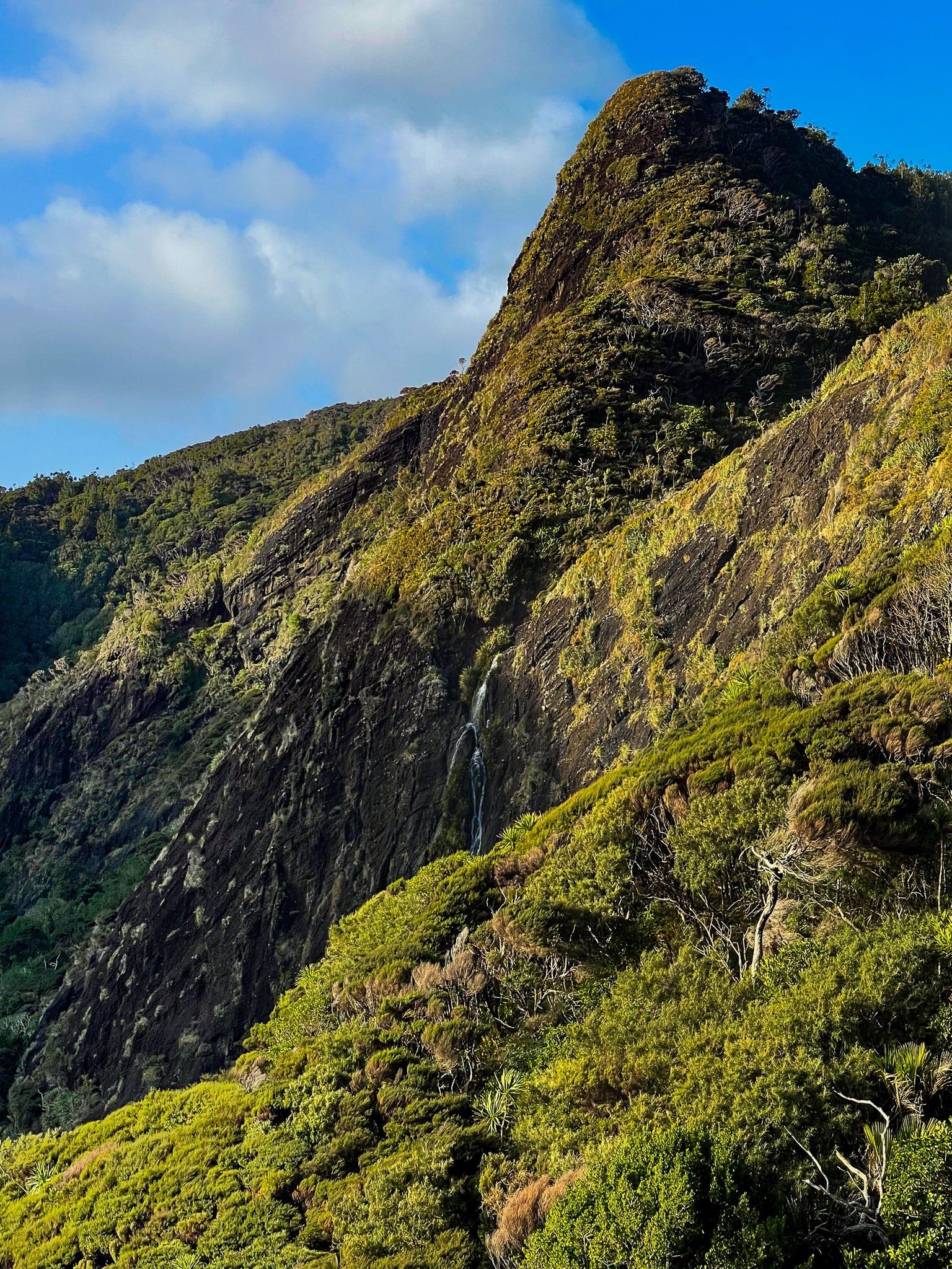
The Hillary Trail is known for its stunning scenery, including waterfalls, beaches, clifftop views, and regenerating native forest. However, to protect the kauri trees, significant track upgrades have been made, transforming tough tramping tracks into gravel paths and boardwalks.
While these improvements have made the trail more accessible and less muddy, the route still features steep sections with numerous steps.
Trail Sections and Camping Options
The section from Huia to Piha includes several tracks, including Karamatura, Donald McLean, Puriri Ridge, and Omanawanui to Whatipū. It continues with Gibbons and Muir to Pararaha Valley, followed by a beach walk to Karekare. From there, the trail takes you through the stunning Comans and Mercer Bay Loop to Piha Road, finishing with the Winstone Track and Kitekite Falls to Piha. From Piha, you can walk via North Piha and the White Track Anawhata Road, providing access to Whites Beach and Anawhata.
There are campsites at the start of the Karamatura Track, at Whatipū, Pararaha Valley and nearby at Tunnel Point, Karekare, Piha and near Anawahata. All of these are managed by Auckland City.
How to Get There
To access the Hillary Trail, start from Huia on Huia Road, 40 minues drive (31 km) from Downtown Auckland.
Allow at least 2 days for the hike, although an extra day would give you more time to explore.