Hiking High Above the Manuakau Harbour
Located on the north side of the Manukau Harbour entrance in the Waitākere Ranges, Auckland, the Omanawanui Track is one of New Zealand's premier coastal walks. It traverses two steep peaks, which are ancient volcanic cores, and at times runs along the cliff edge above the harbour, providing stunning views. One end of the track is situated high on Whatipu Road, while the other end is near the Whatipū car park. The track connects with others for an extended hike, even a multi-day adventure from Huia to Anwahata, with campsites.
Starting from Whatipu Road
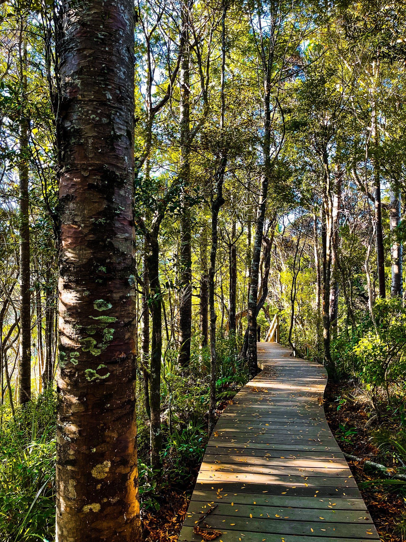
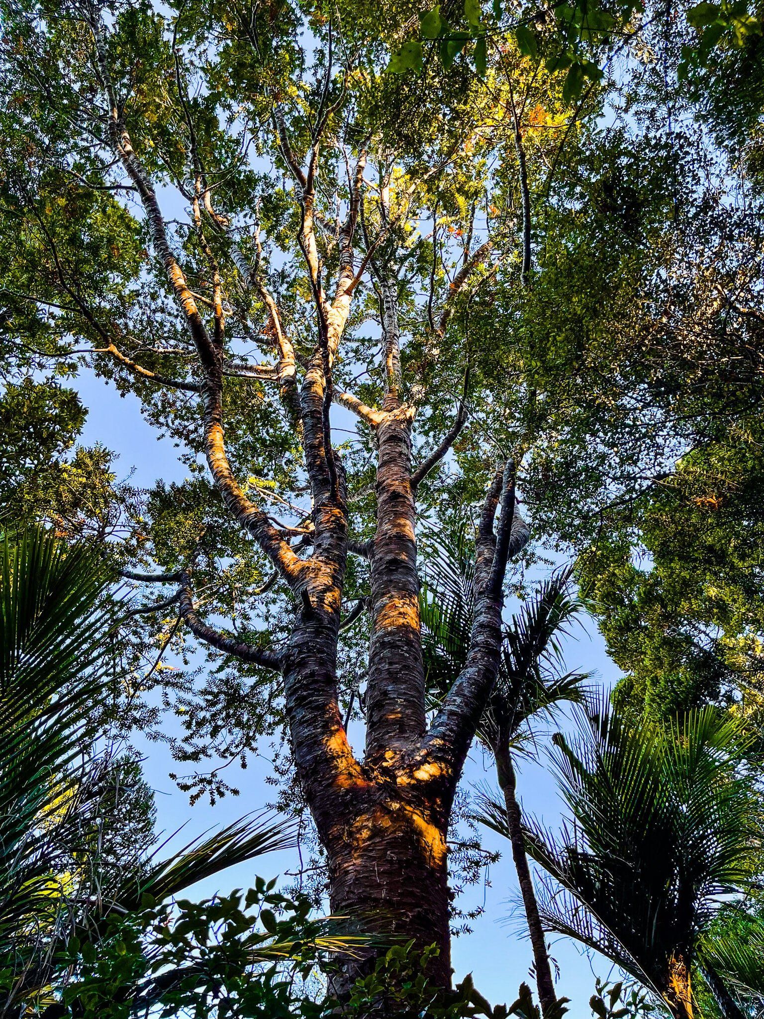
The easier option is to begin at Whatipu Road, where it connects with the Puriri Ridge Track. This starting point is higher up and closer to the 241-metre high point. However, parking is limited, with space for only 3 to 4 cars in two locations. From here, the initial section is a gentle boardwalk through a regenerating kauri forest, followed by a short, steep climb to the high point, taking between 20 and 40 minutes depending on your starting car park.
The Steeper Ascent from Whatipu
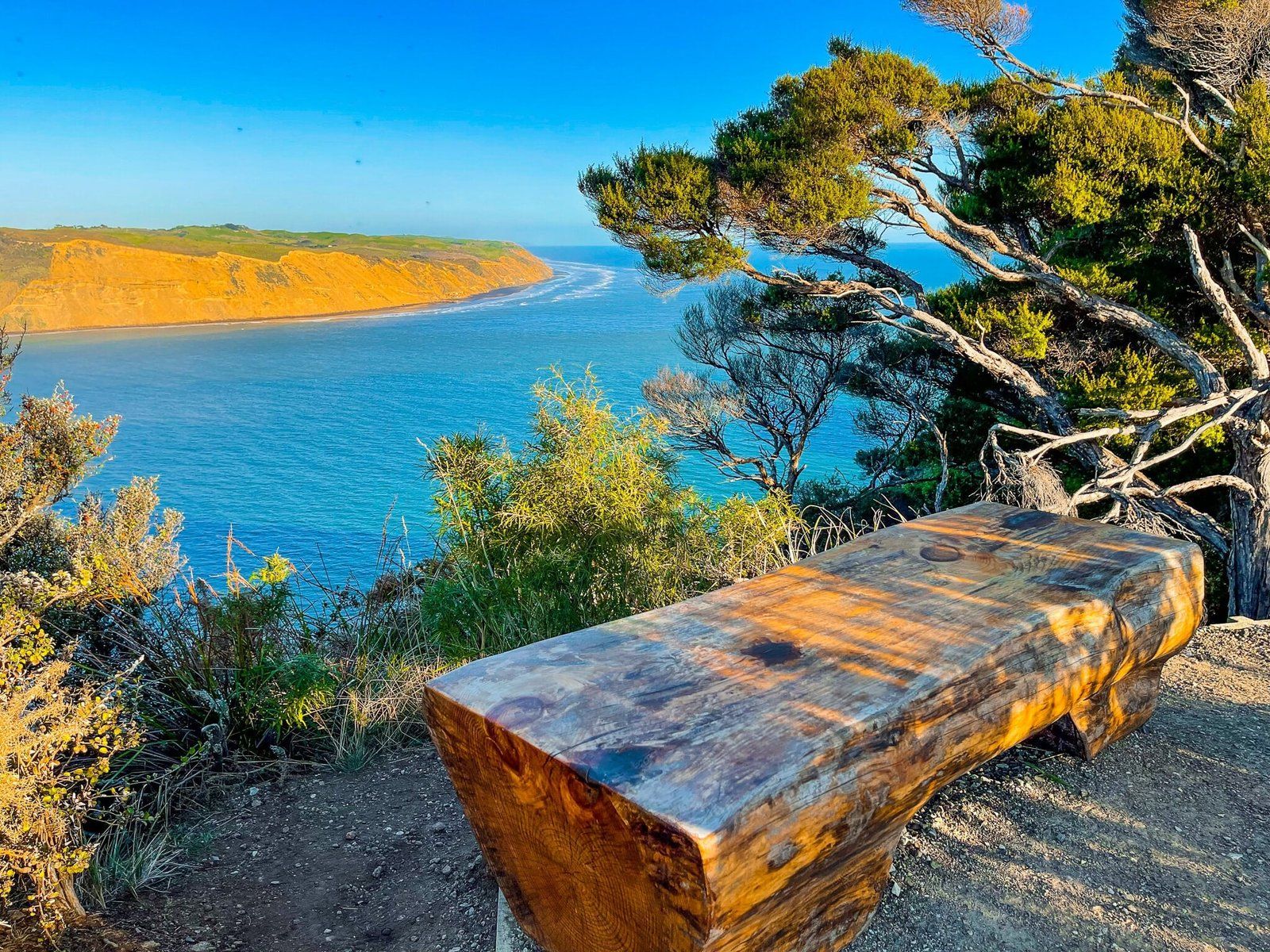
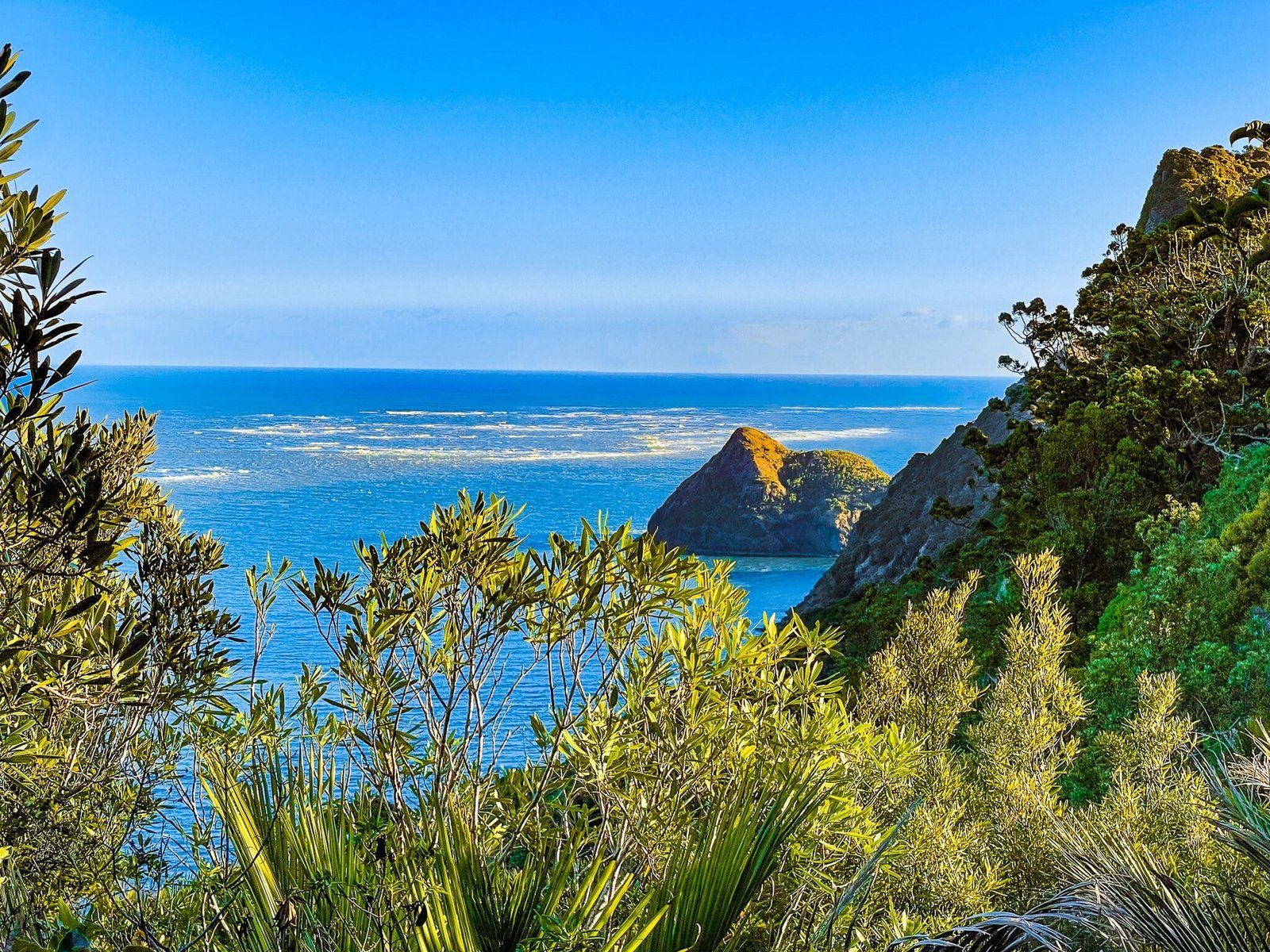
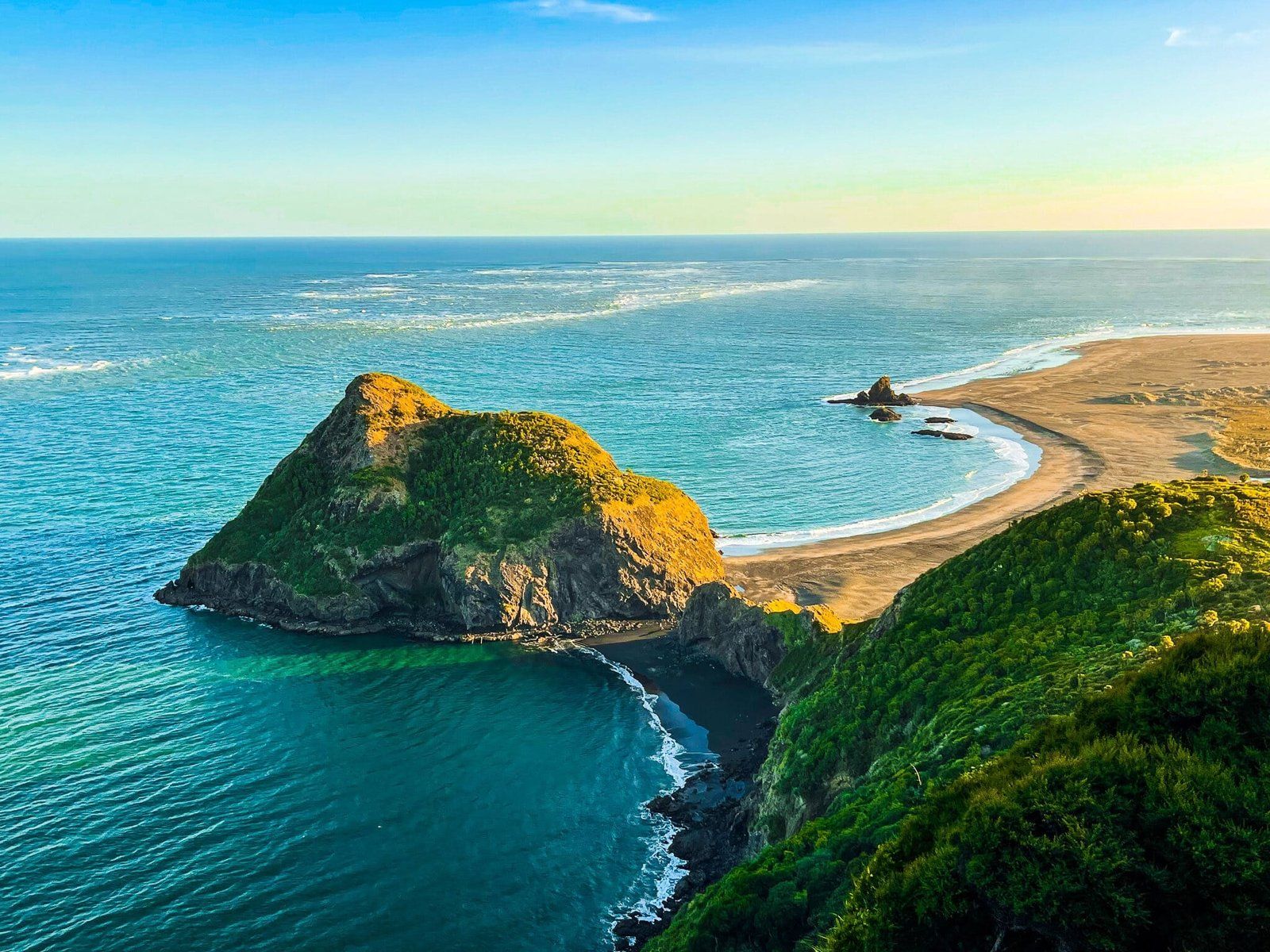
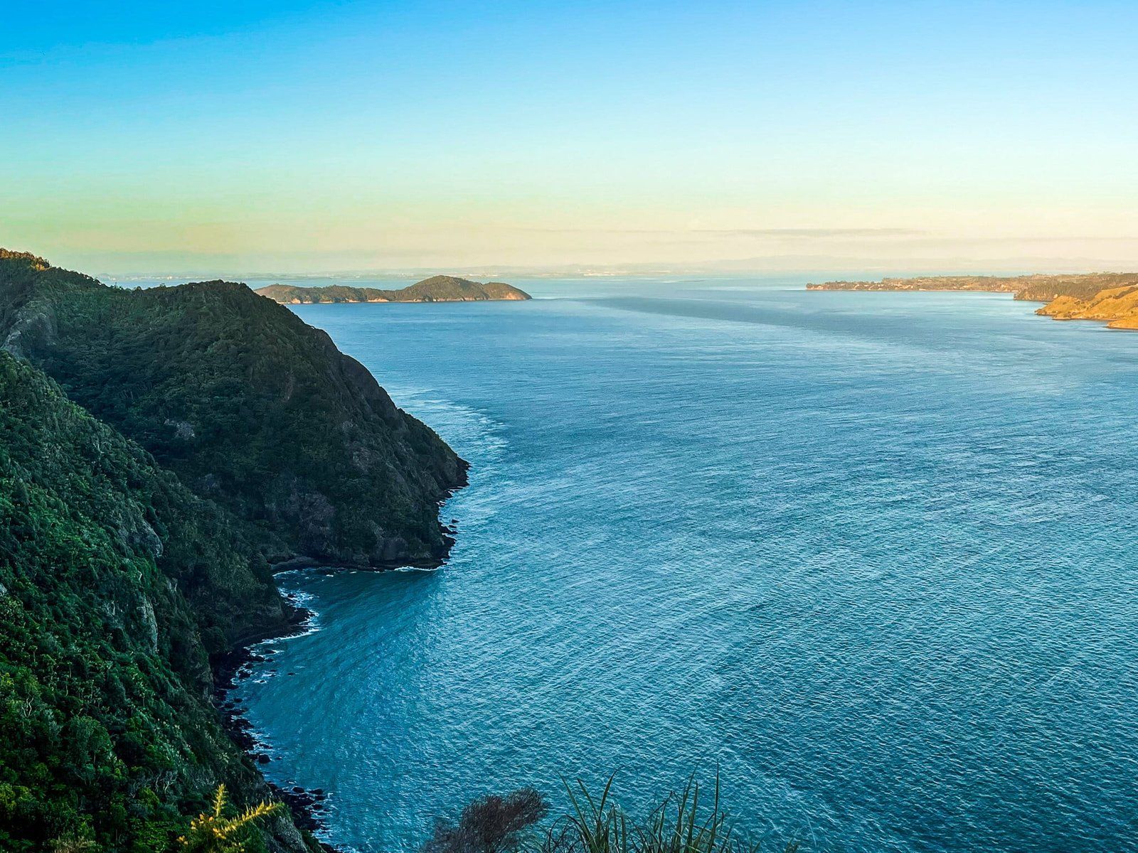
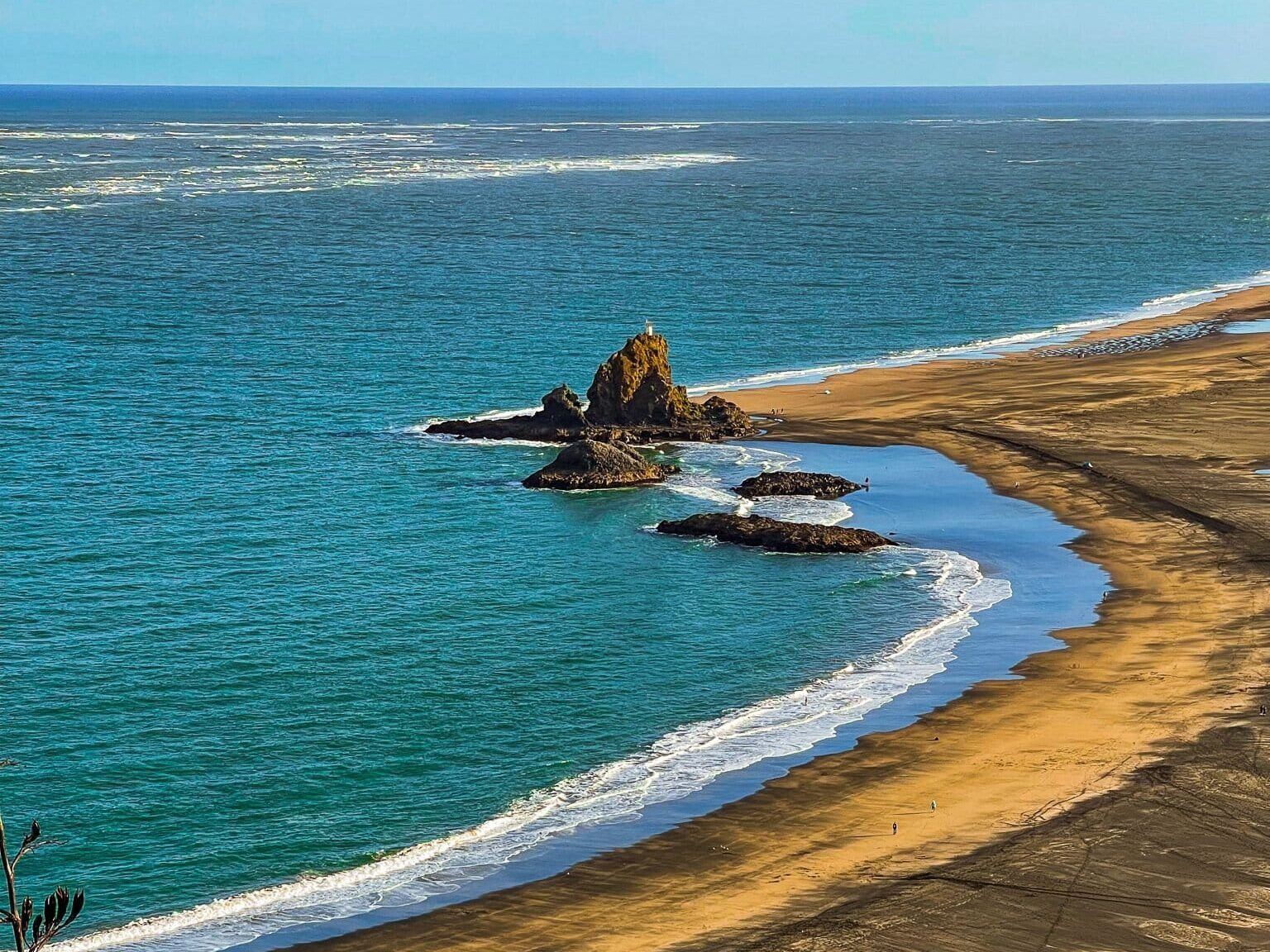
Starting from the Whatipū end involves a steeper climb with more vertical ascent, taking approximately 90 minutes to reach the highest peak. The track begins with a 180-metre climb on the to a prime viewing spot overlooking the harbour entrance, Wonga Wonga Bay, Paratutae Island, Whatipū Beach and the Manukau Heads. This vantage point also provides the best view along the ridge to the Omanawanui Track's high point. There is also a short connected side walk on Signal House Track.
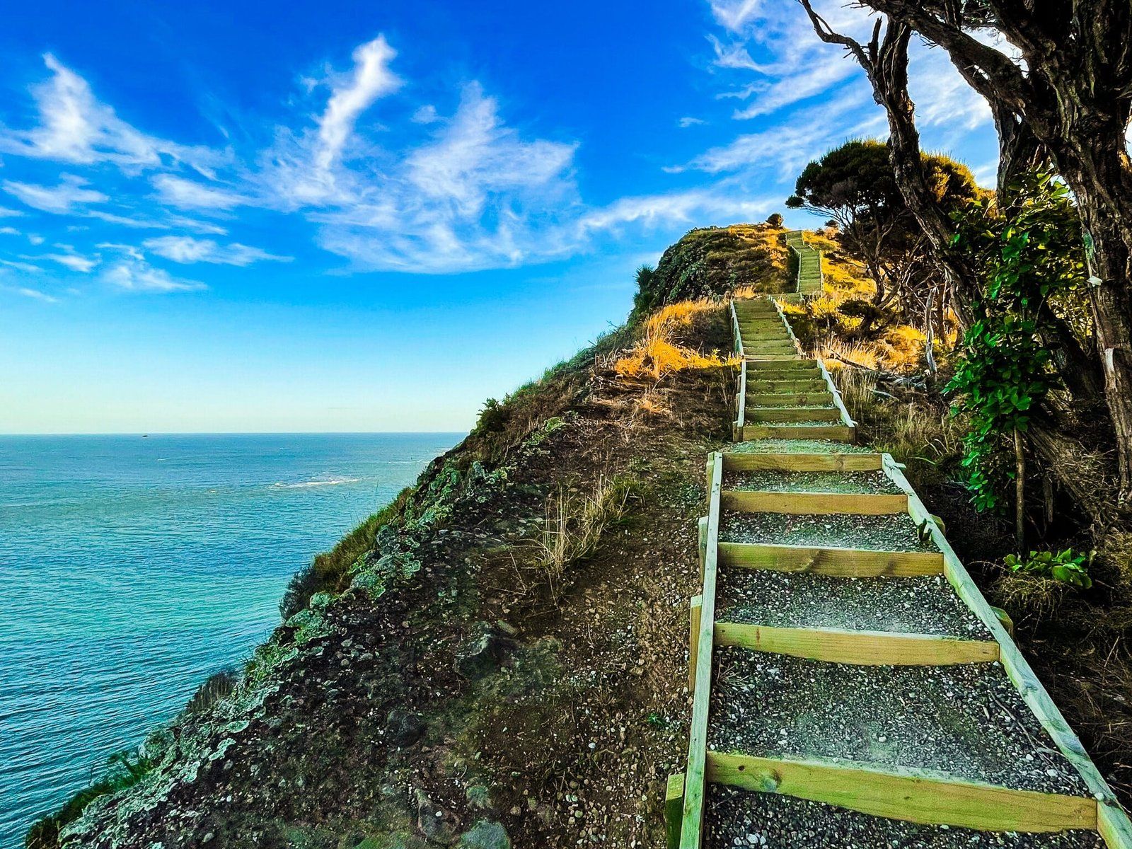
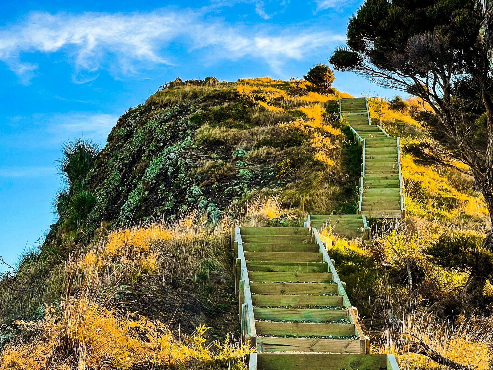
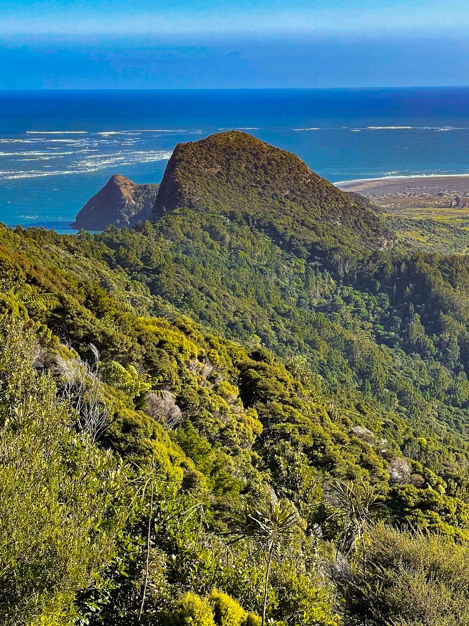
After this, the track descends by 80 metres over an exposed section, crosses a bridge over a gully, and then climbs over a small rocky peak. The trail continues through coastal scrub before reaching another steep set of steps leading to the spectacular views at the track's high point.
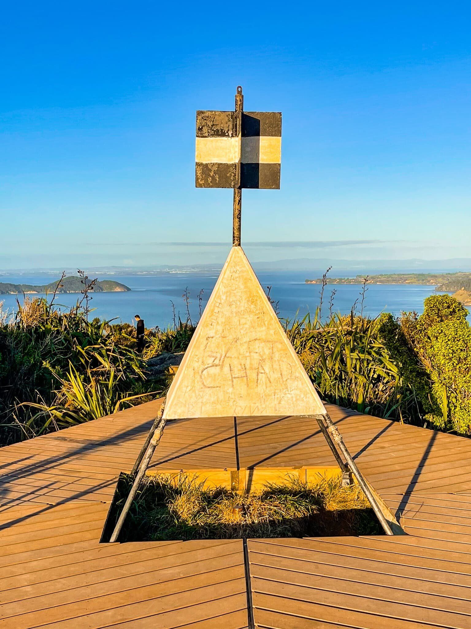
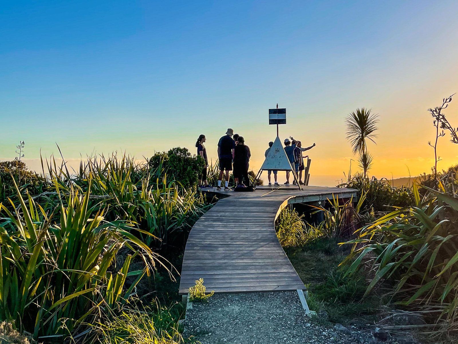
Spectacular Views from the High Point
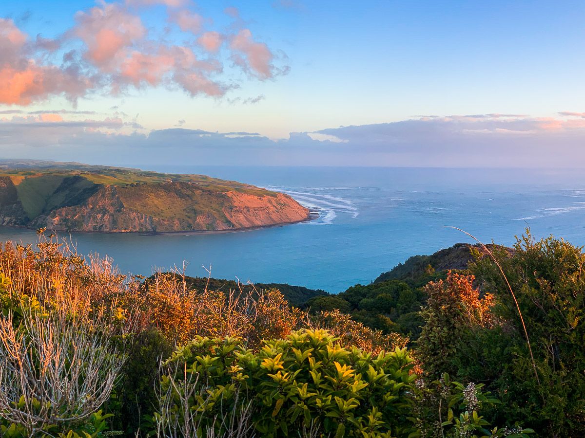
The high point of the Omanawanui Track is particularly breathtaking. The trail passes directly over this peak, high above the harbour, with a viewing platform offering unobstructed, 360-degree views of the harbour, Whatipu, and the surrounding Waitākere Ranges. The peak itself is a dramatic ancient volcanic core, with steep inclines leading to a sheer cliff drop into the harbour below.
Hillary Trail Te Ara Tūhura
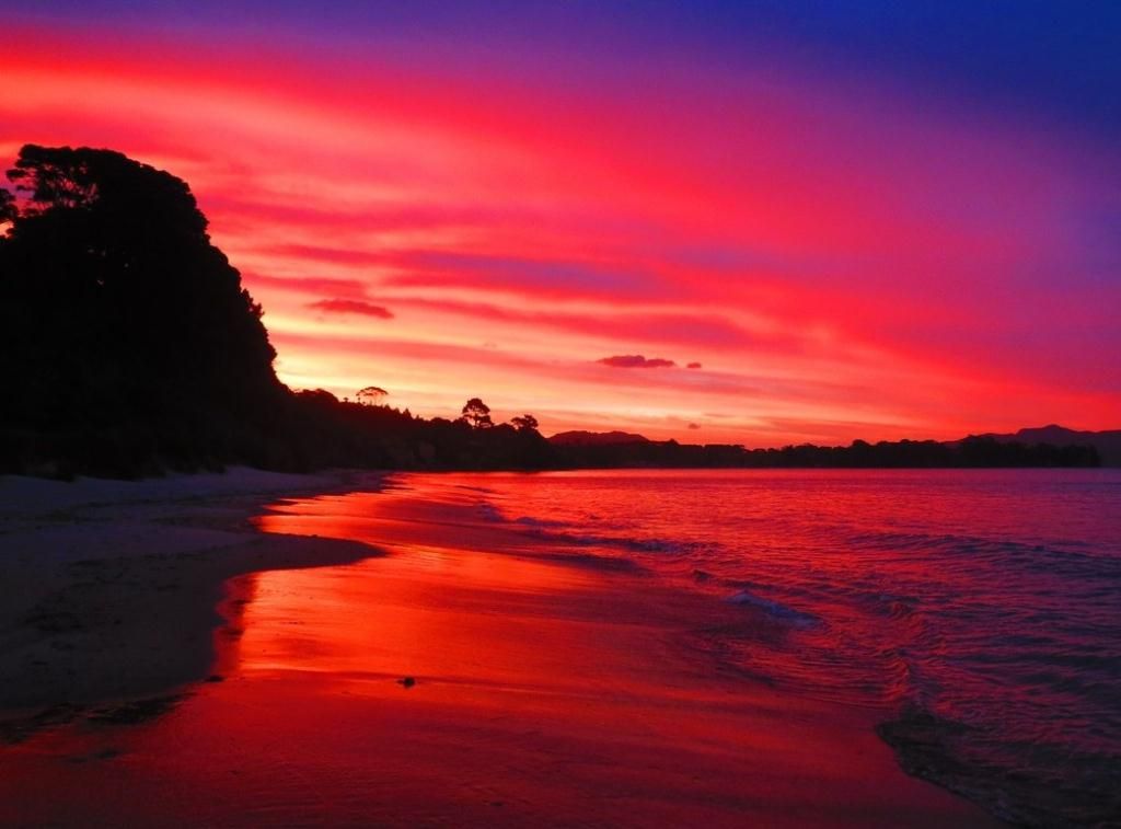
The track was previously described as a section of the Hillary Trail Te Ara Tūhura, and you may spot Hilary Trail markers. The name is no longer official, but you can still connect the tracks that take you from Karamatura Valley to Mount Donald McLean, to Whatipū, to the Pararaha Valley, Karekare, Piha, White's Beach and Anawhata. Allow at least 2 days with various camping and other accommodation options.
Getting There and Nearby Attractions
To access the Omanawanui Track from Downtown Auckland, take the western motorway to Point Chevalier, then head south on Route 19 to New Lynn. Cross over Great North Road and continue on Route 24 to Titirangi. As you drive through Titirangi, take Huia Road, which winds all the way to Little Huia on the Manukau Harbour. At Little Huia, take Whatipu Road, which becomes gravel and is particularly narrow and winding in places. Watch out for the track access points on the road, or drive to the Whatipū car park.
From the Whatipu car park, there is also access to the beach, a camping ground, the Whatipū Caves Walk and the Gibbons and Muir Tracks to the Pararaha Valley.