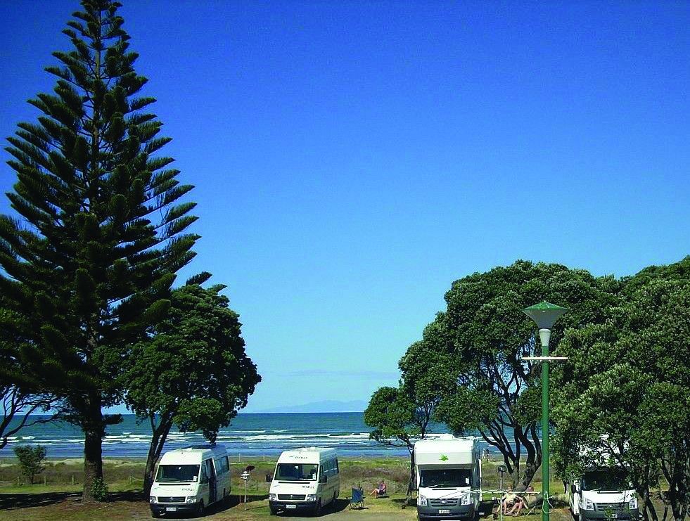
Exploring the Scenic Kaipara Region
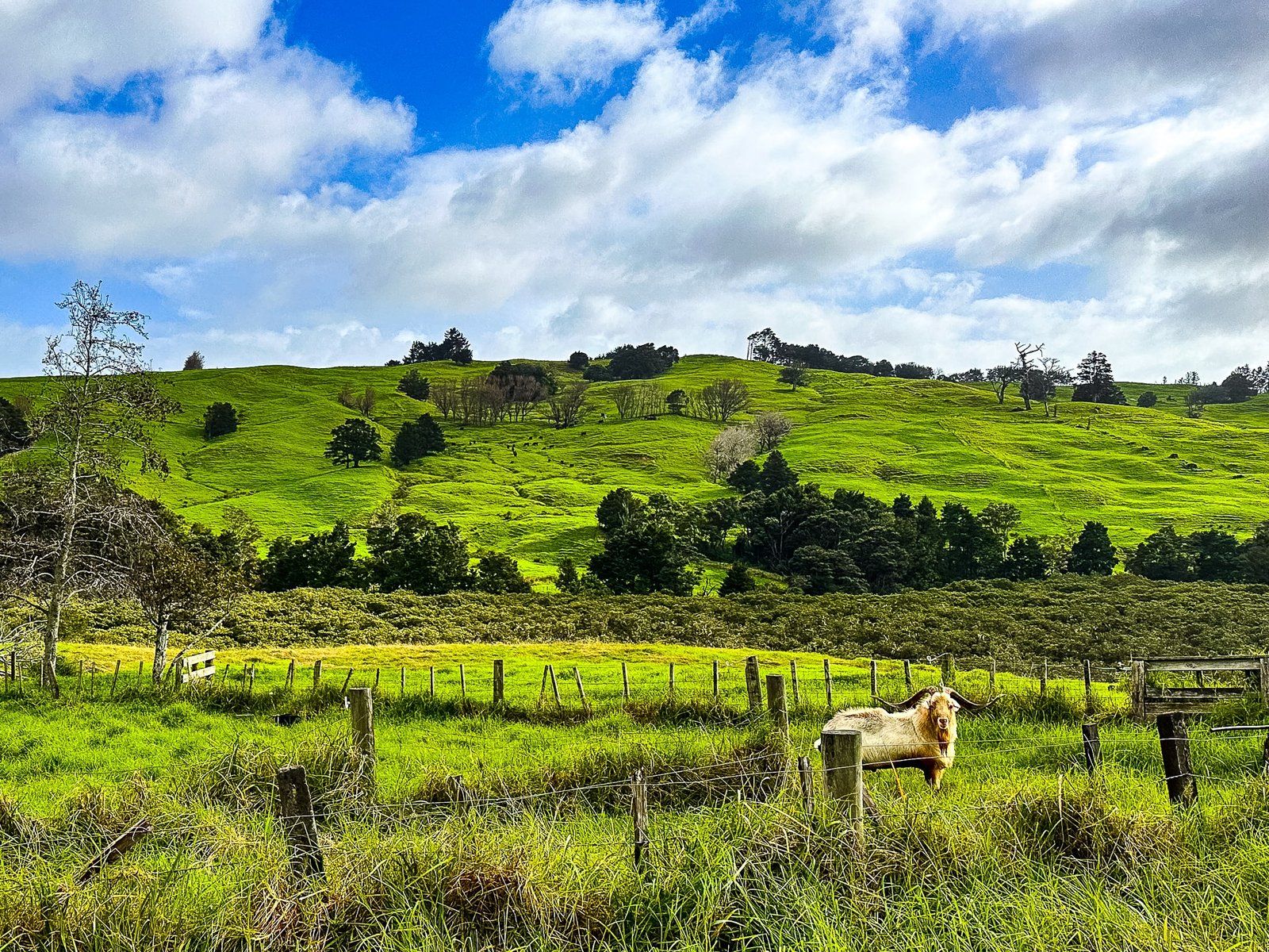
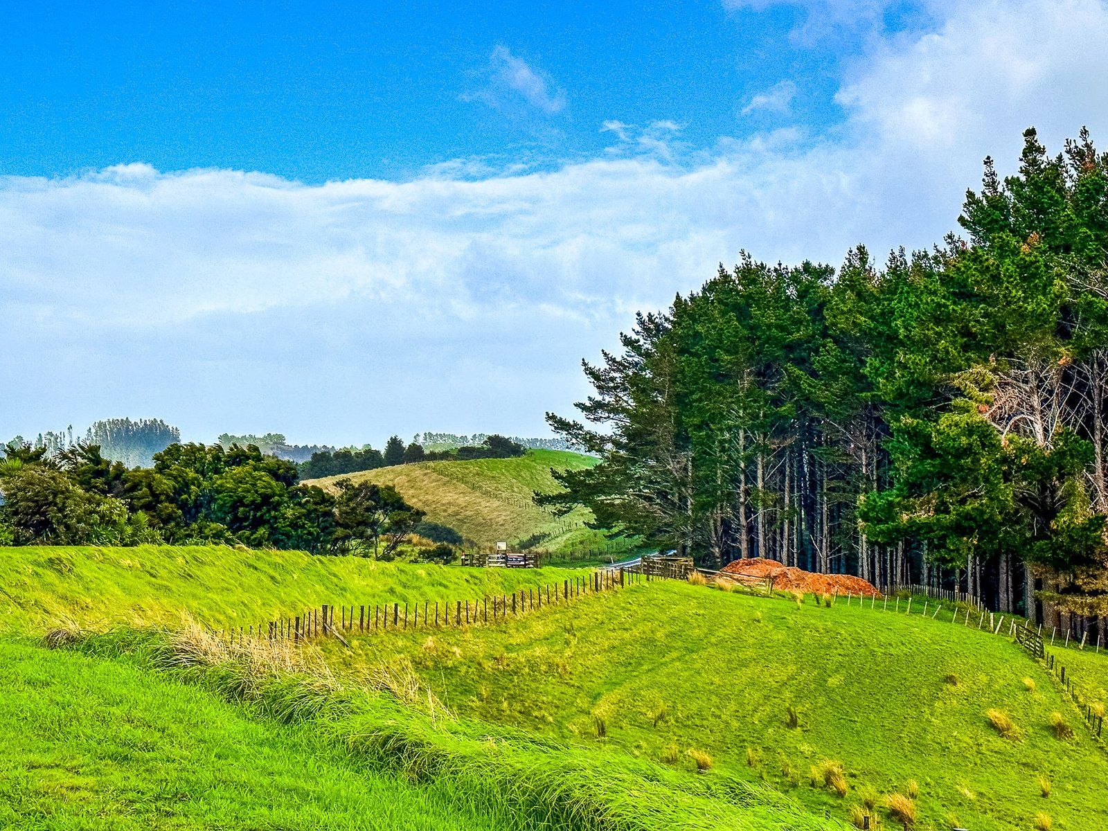
Driving along State Highway 16, north of Helensville, leads you through the picturesque Kaipara region. This area, with the expansive Kaipara Harbour to the west, is characterised by its hilly, pastoral farmland and sparse population. The drive is particularly captivating during the golden hour or in changeable weather, when the light casts a distinctive "green glow" over the landscape. It is also an alternative route north from Auckland to State Highway 1.
Gibbs Farm and Nearby Attractions
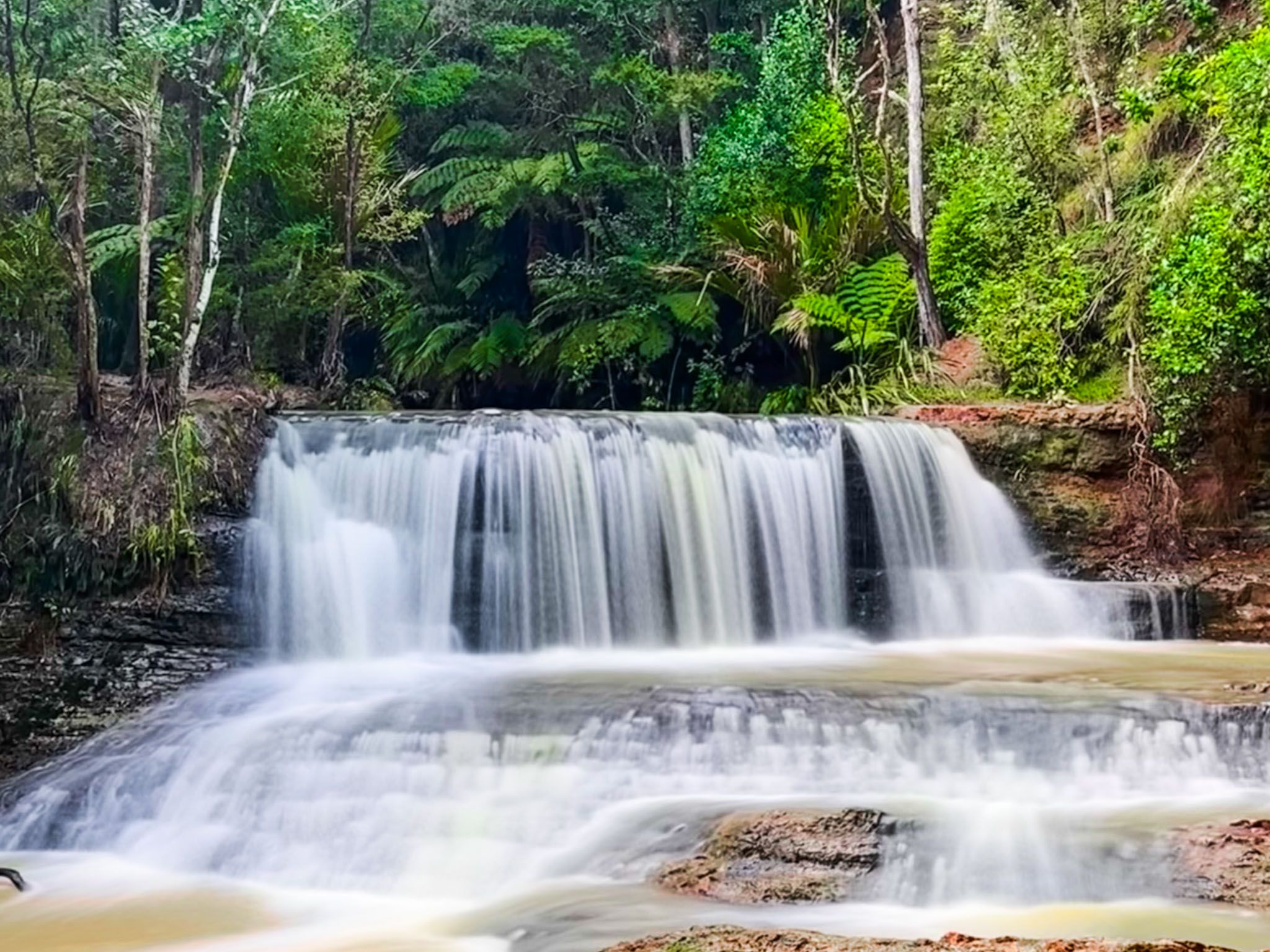
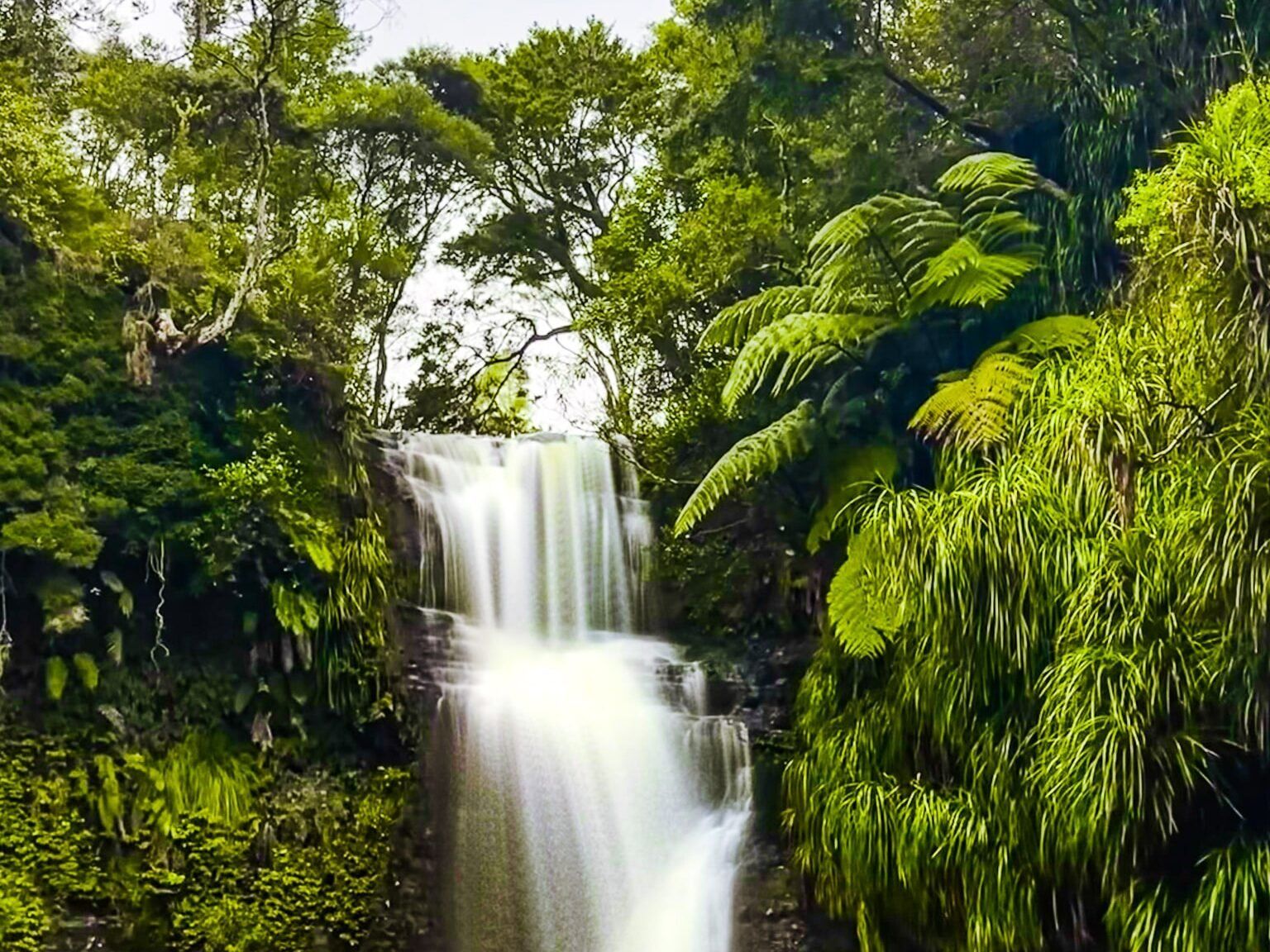
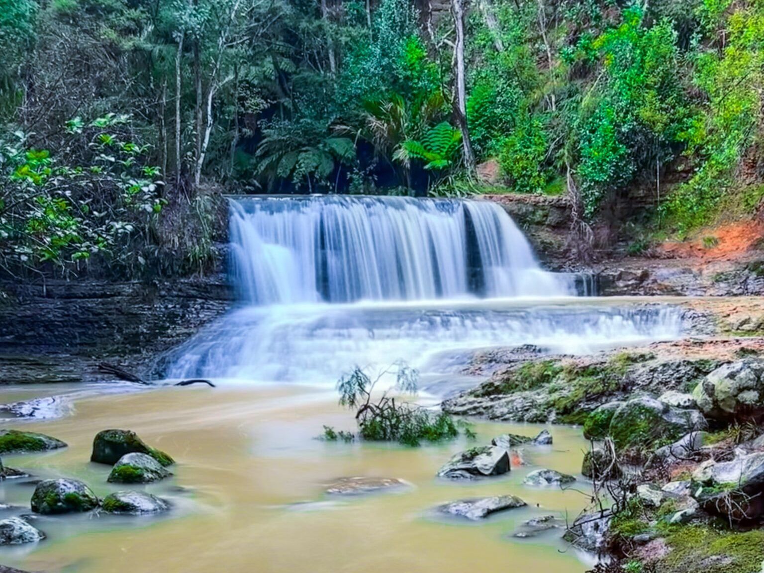
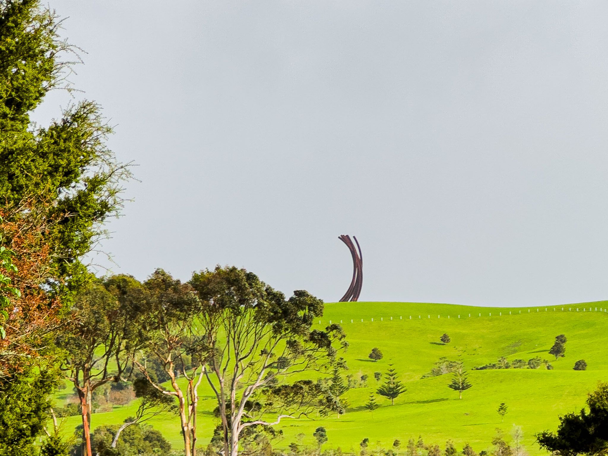
As you travel, keep an eye out for Gibbs Farm, located about 5 km north of Omeru Scenic Reserve. While the farm is not open to the public daily, its ridgeline features several impressive sculptures visible from the road. You can check the farm's website for visiting opportunities. Nearby, Omeru Scenic Reserve offers views of the Omeru Falls and Waitangi Falls.
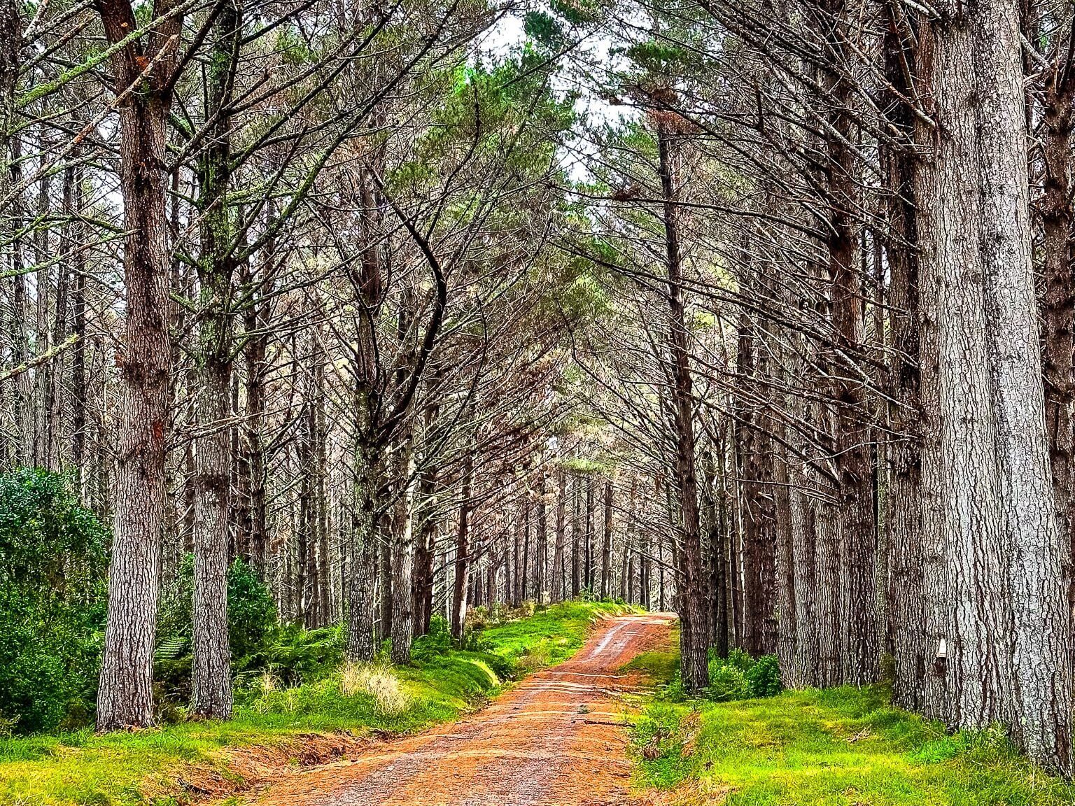
Continuing north, you'll encounter Mount Auckland Atuanui, which rises to 304 metres and is surrounded by native forest, including kauri regrowth. Although there is a track over the mountain, it is currently closed due to kauri dieback risks.
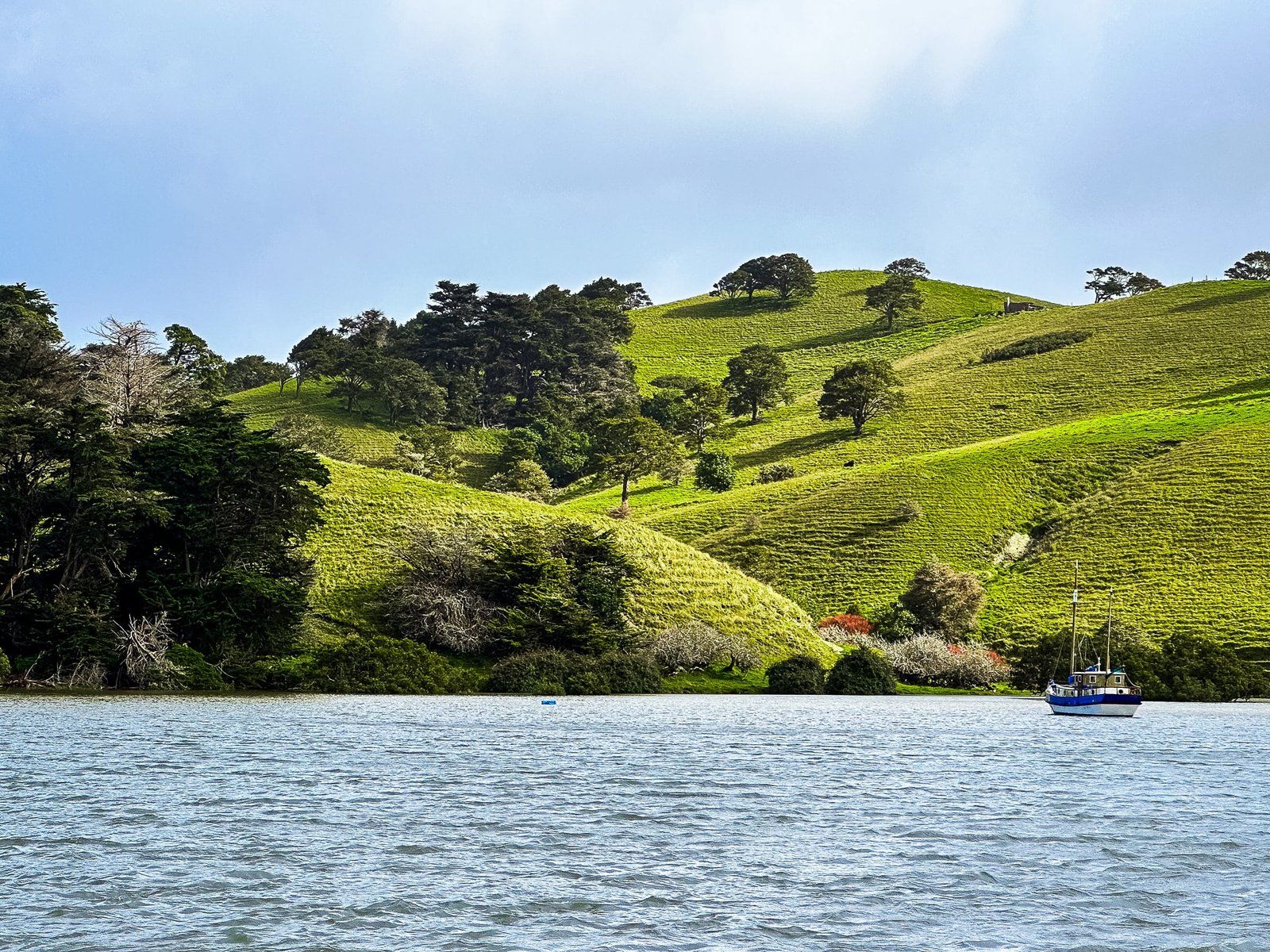
The Significance of Kaipara Harbour
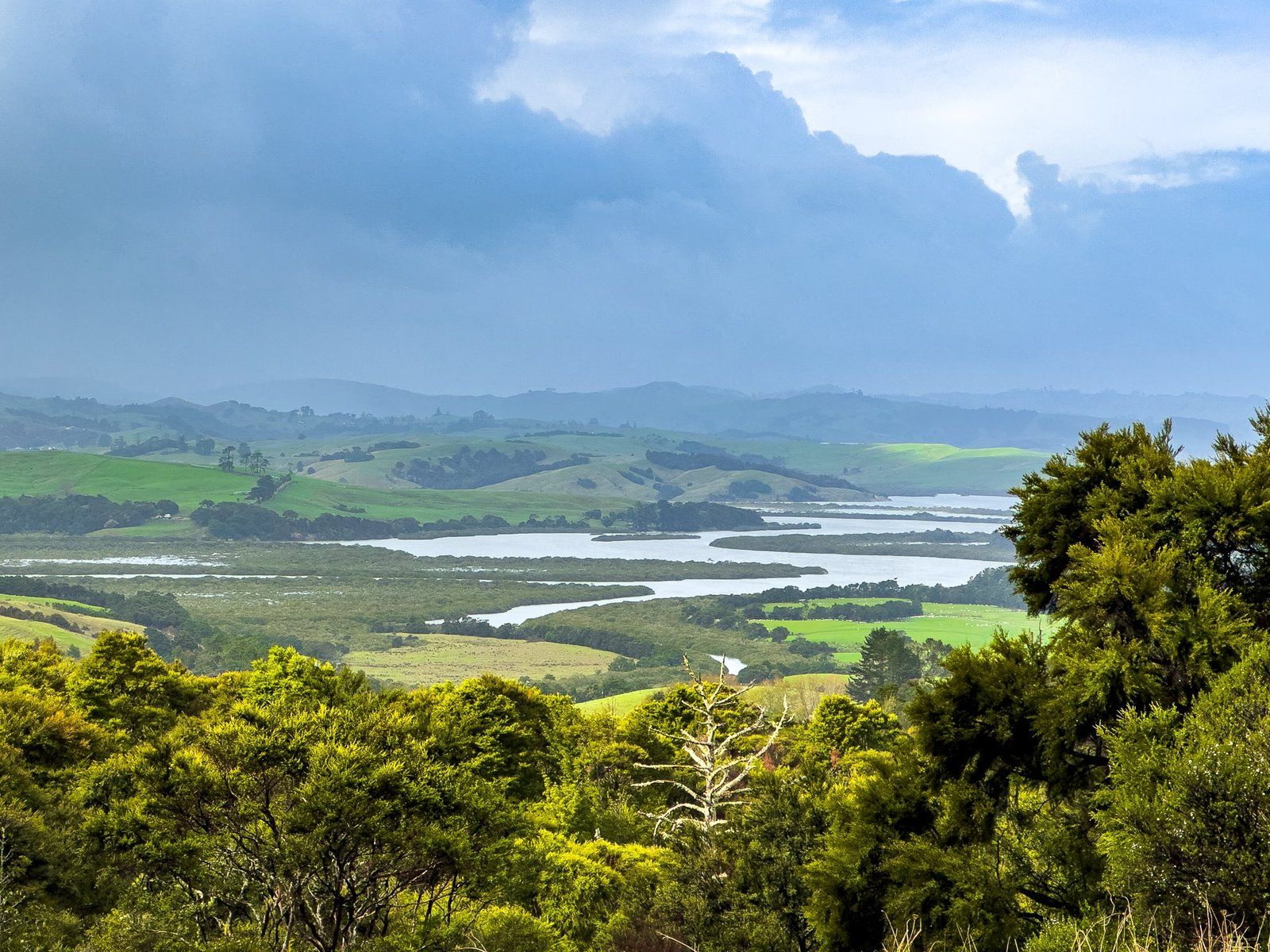
Kaipara Harbour is the area's main feature. It is the largest harbour in New Zealand by area and one of the largest globally. However, it is mostly hidden from the highway by surrounding farms. The harbour is fed by several rivers and streams, forming numerous tidal tributaries.
Historically, it was a vital food source for Māori and early European settlers. The harbour facilitated the shipping of kauri logs and later kauri gum extraction. As these resources were depleted, the land transitioned to farmland, leading to a decline in population.
Accessing the Harbour and Ātiu Creek Regional Park
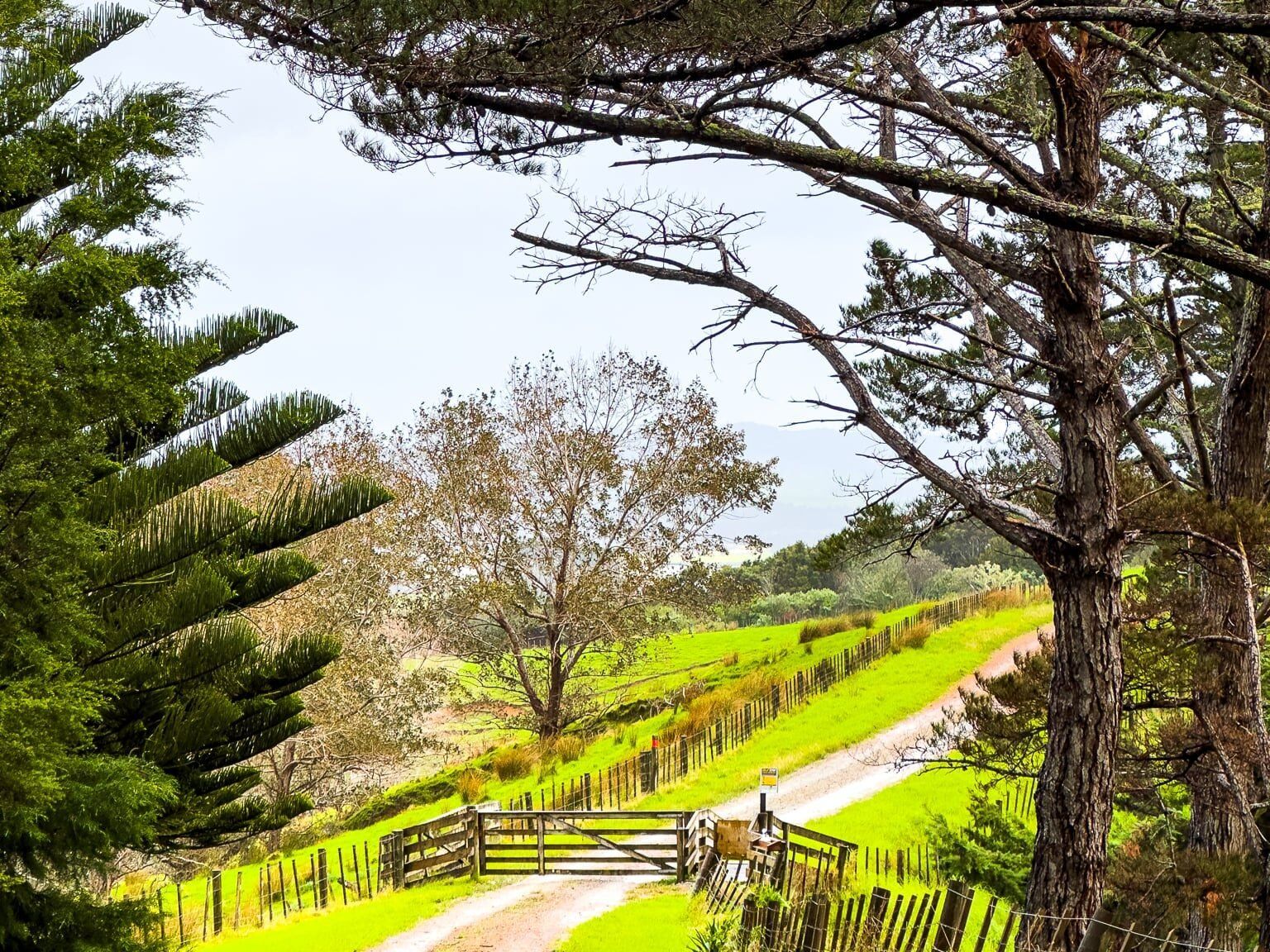
The eastern side of Kaipara Harbour is most accessible via the Oruawharo River tributary. To reach it, continue north on the highway and turn onto Wharehine Road just past the hamlet of Tauhoa. Then, take Run Road to the sign for Ātiu Creek Regional Park, an Auckland regional park. Follow the access road to the hilltop car park. From there, you can walk, cycle, horse ride, or camp around the private farm, which includes access to the tidal river tributary.
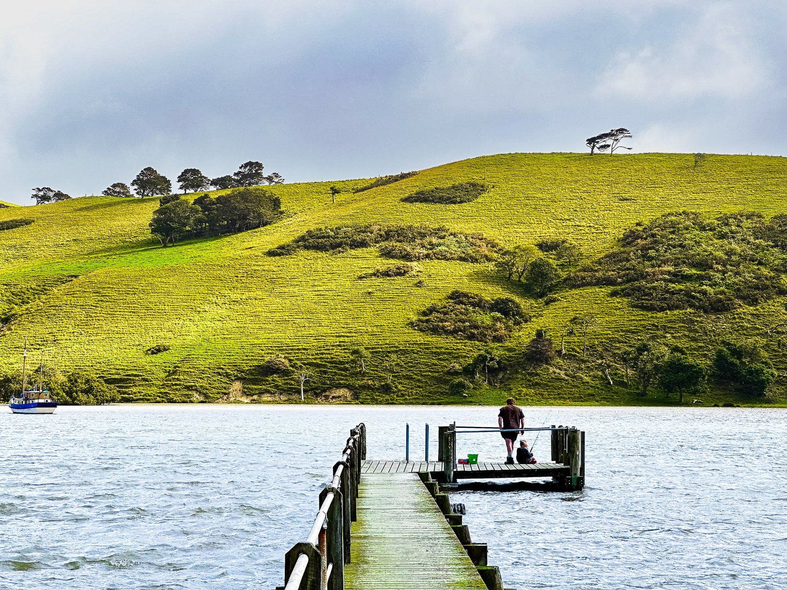
Exploring Port Albert
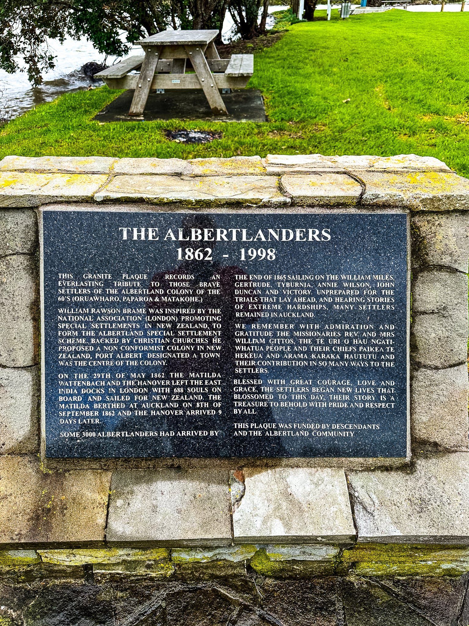
From Ātiu Creek, return to Wharehine Road and turn left towards Port Albert. This route also leads to the Oruawharo River tributary. At Port Albert, you'll find a long jetty extending across the flats to the river channel. An informative sign and plaque detail the European settlement of Port Albert by non-conformist Protestants from England, around 160 years ago. This was one of the last groups sponsored by the NZ government to found their own settlement from scratch. Their trials and tribulations are detailed in the link.
How to Get There
To explore the Kaipara region, take the western motorway from Downtown Auckland and continue on to Kumeu on State Highway 16. Follow this highway all the way to Wellsford, where it connects with State Highway 1. It takes 46 minutes (44 km) to get to Helensville at the south end of Kaipara. The drive from Helensville to Wellsford takes 48 minutes (47 km).