An Ancient Podocarp Forest in Papakura
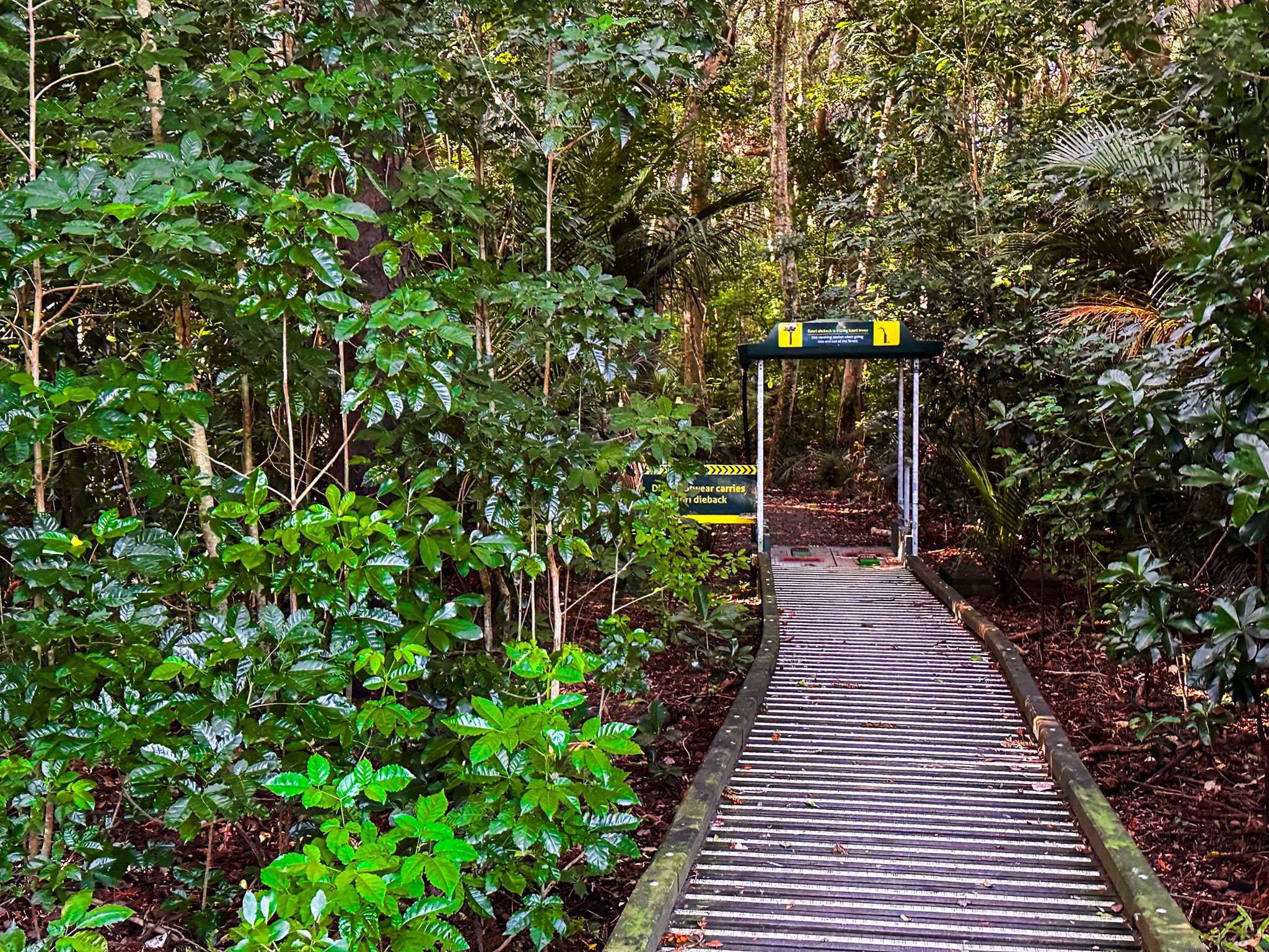
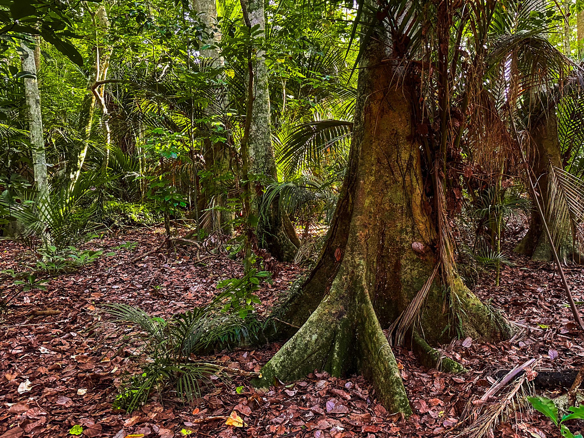
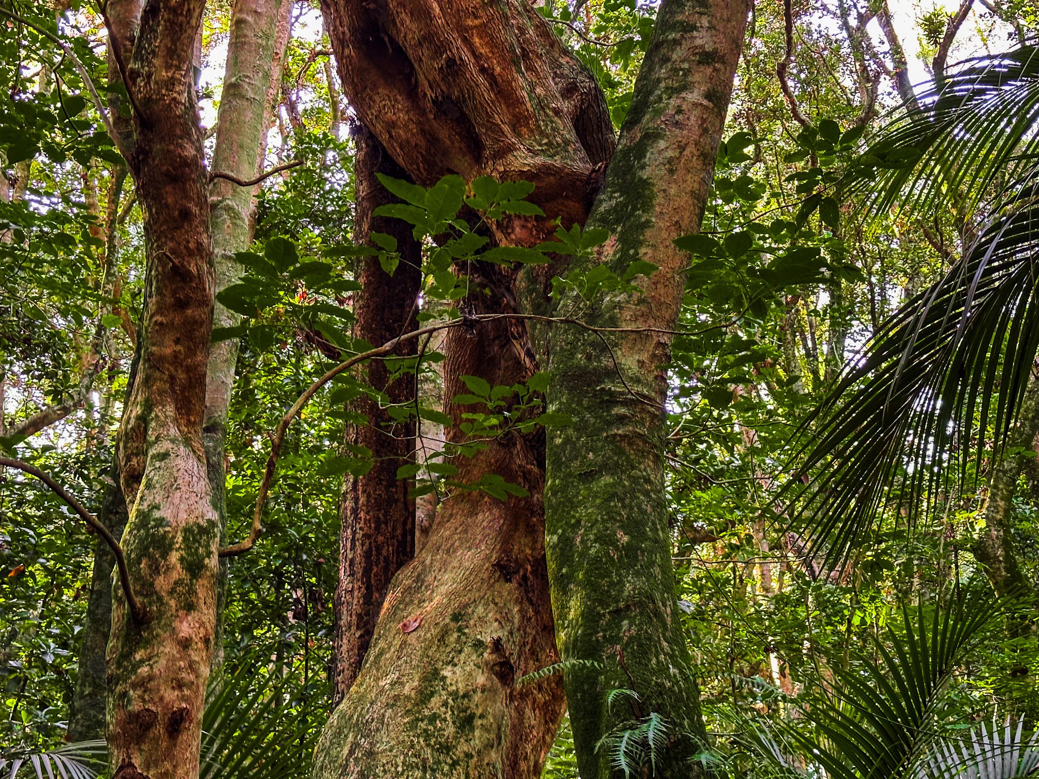
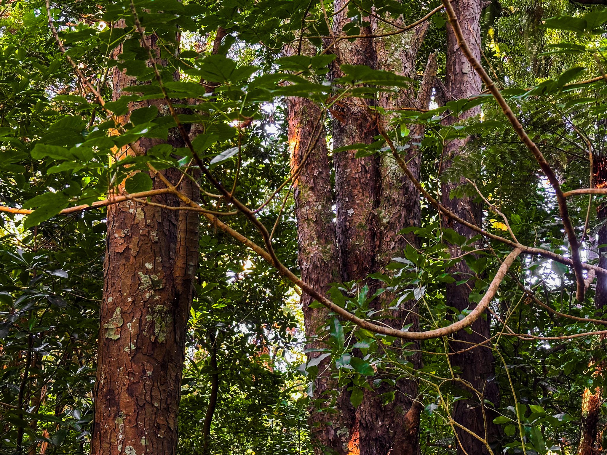
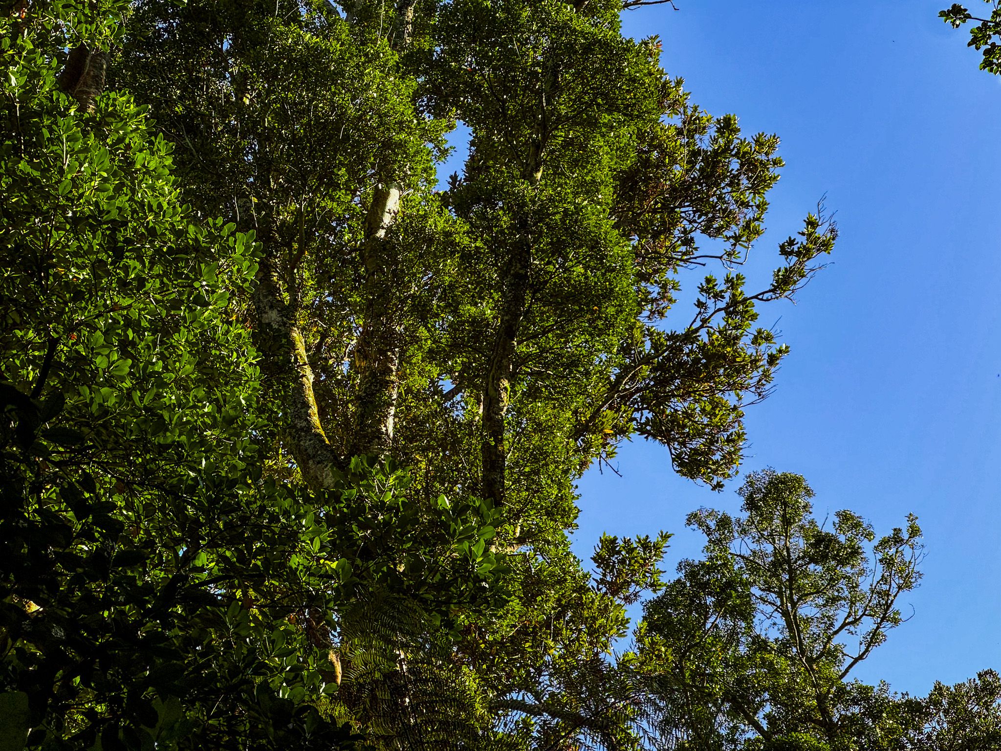
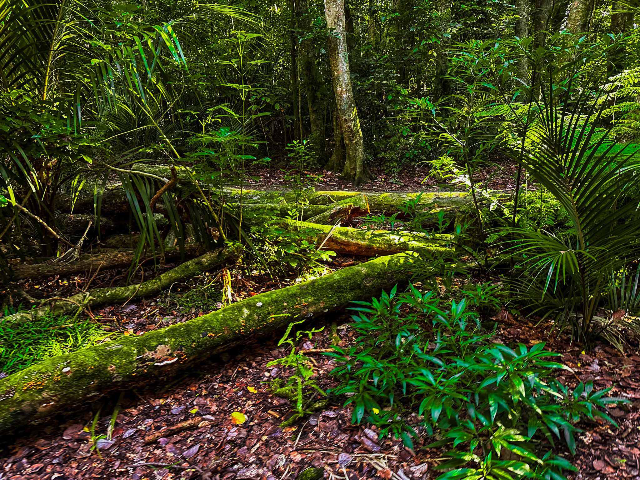
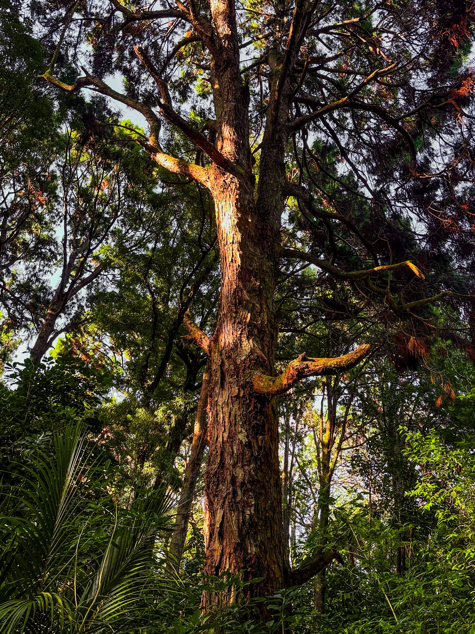
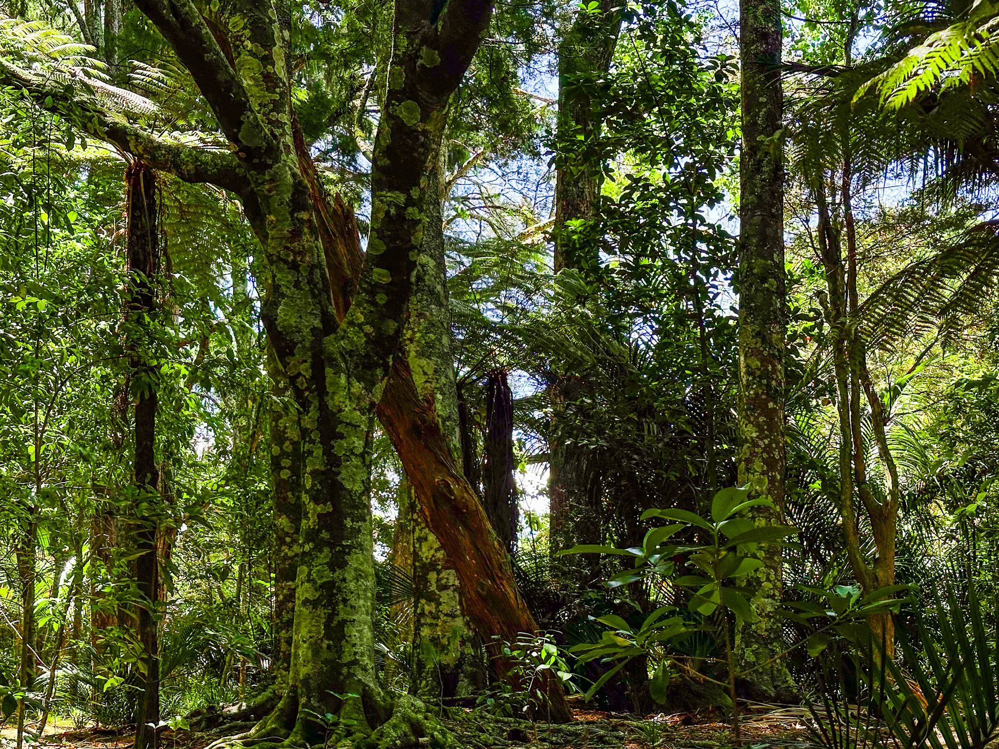
Kirks Bush is a remnant of the lowland podocarp-broadleaf forest that once dominated South Auckland in Auckland City, preserved as a 5.54-hectare scenic reserve on Great South Road near Papakura town centre, about 30 km south of Downtown Auckland. Walking through it feels like stepping into a different world: the canopy closes overhead, and the scale of the tallest trees, rimu, tōtara, and kahikatea among them, makes clear just how much of this kind of forest has been lost. It is one of the very few substantial stands of this forest type remaining in an area dominated by suburbs and rural farmland.
What Grows Here
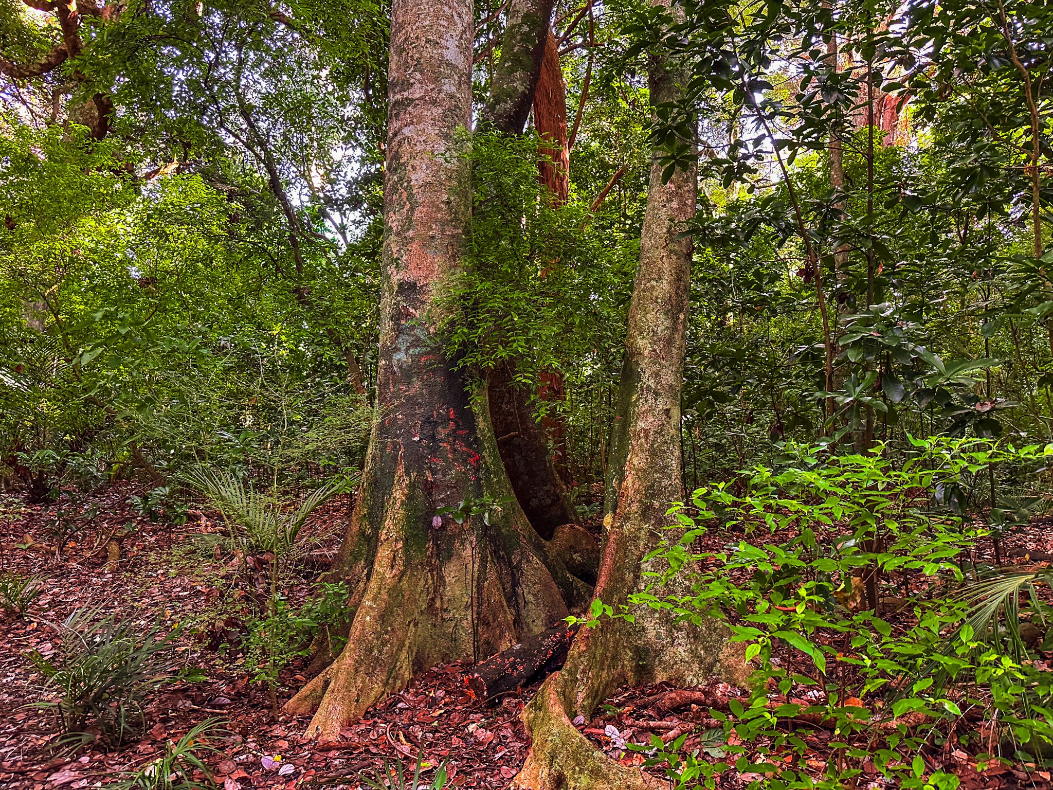
The reserve is dominated by mature taraire, a broadleaf endemic to the northern North Island, and the world's largest known taraire tree grows here. But the forest is far more than taraire: tawa, pūriri, pukatea, rewarewa, tītoki, and karaka form the broadleaf component, while rimu, tōtara, and kahikatea make the reserve a genuine podocarp remnant. These are the species that once formed the backbone of South Auckland's lowland forest before European settlement cleared almost all of it for farmland and housing.
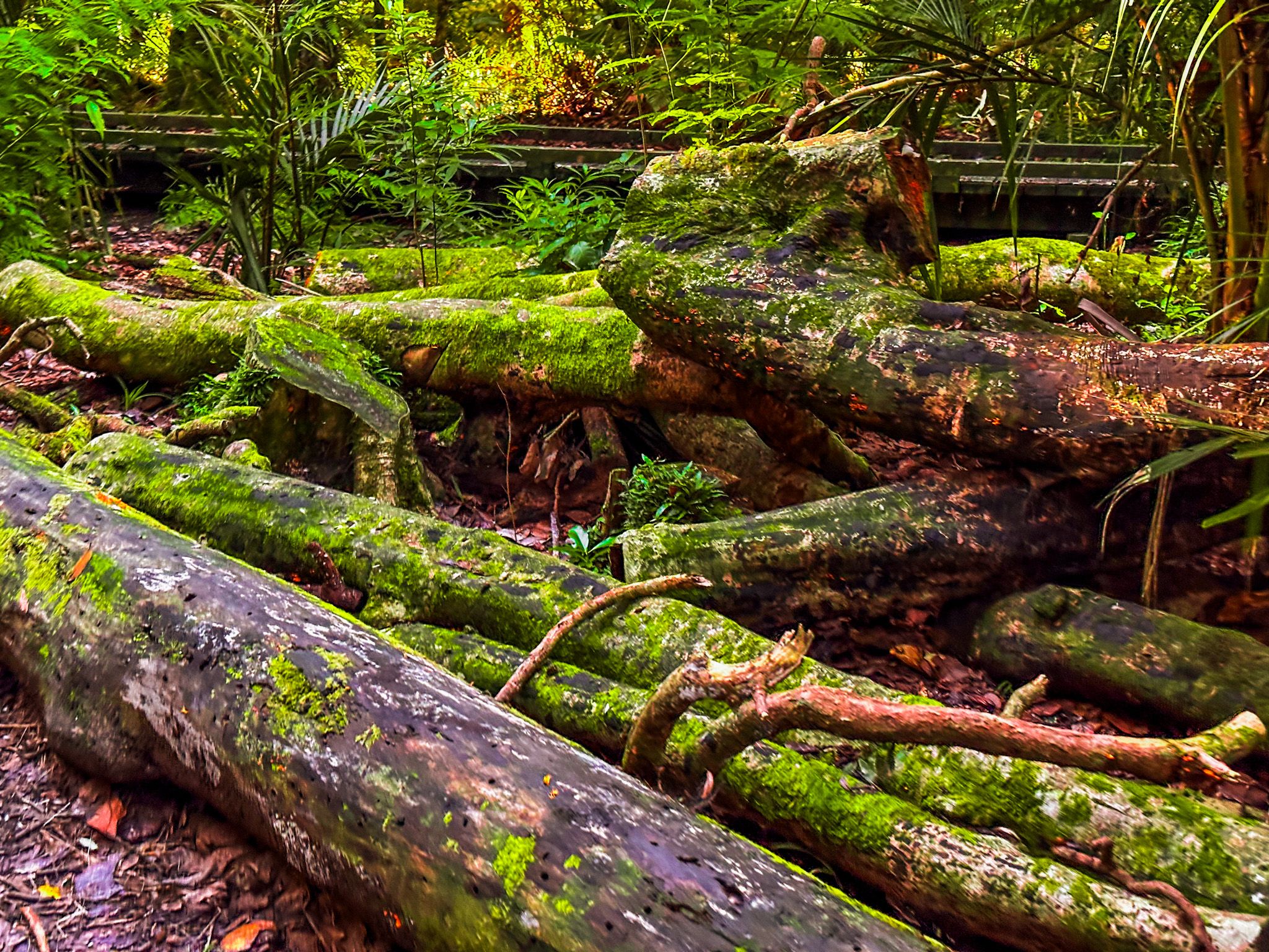
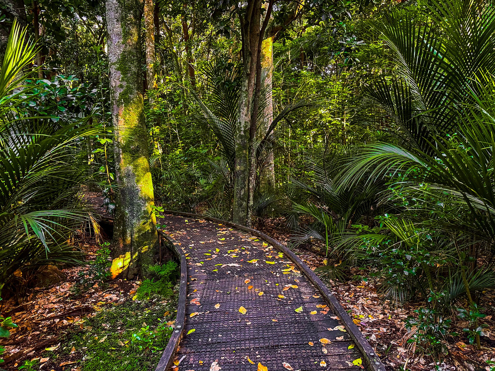
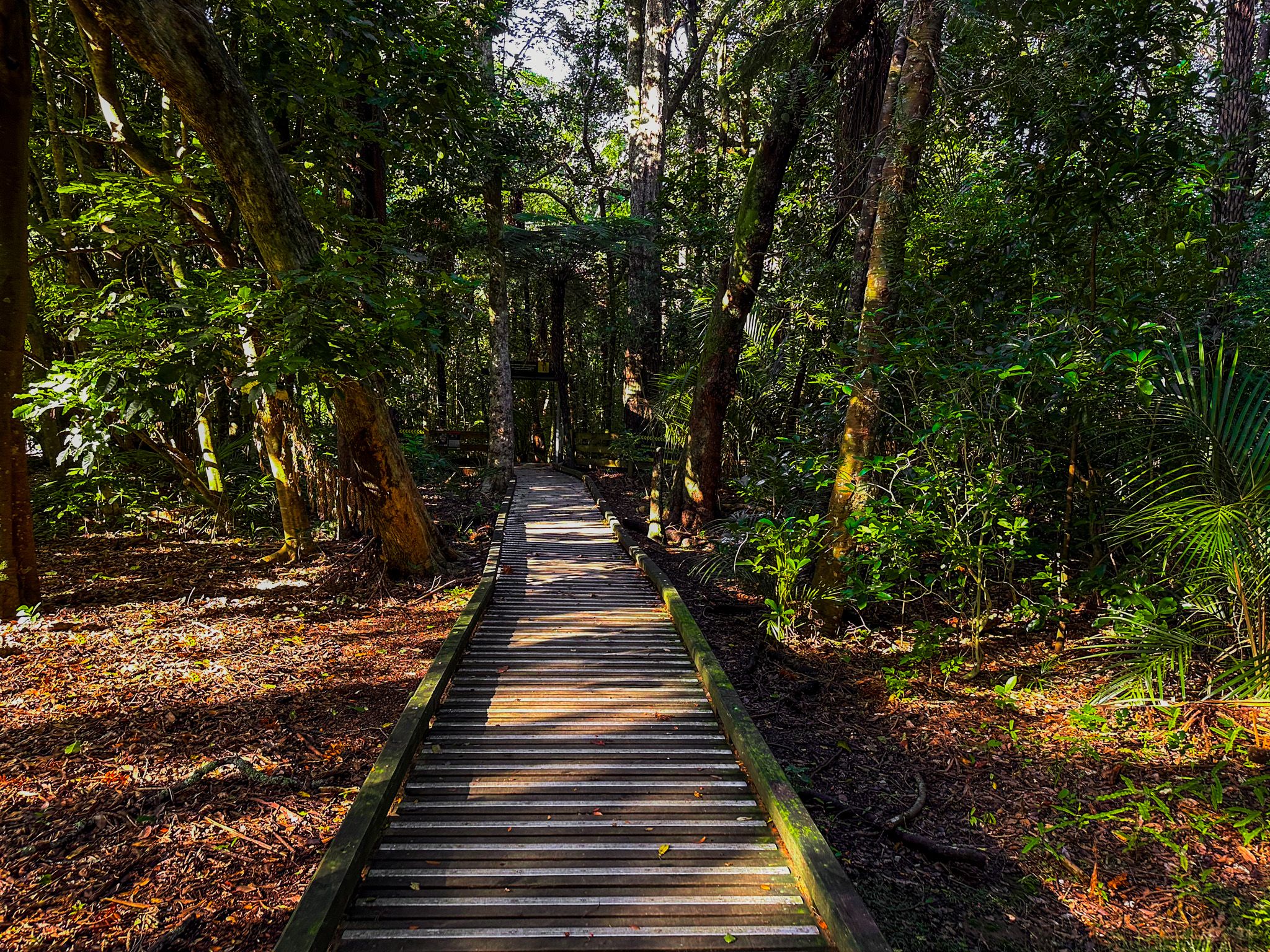
Short loop paths and boardwalks thread through the reserve, and the walking is easy and flat. Kererū move through the canopy in search of taraire fruit, and tūī and pīwakawaka are constant presences. The reserve adjoins Southern Park at its boundary, extending the green space.
Saved from Subdivision
In the 19th century, the bush was known as Chisholm's Bush after Papakura settler Adam Chisholm. The Kirk brothers, who owned the property between 1894 and 1918, gave the forest its current name. It had been used as a community picnic ground since the 1890s, valued as a green retreat within the growing township. After the death of James Kirk, the land came under threat of residential subdivision. The Papakura community campaigned to protect it, and Reverend William Charles Wood travelled to Parliament to argue for the bush's preservation. In 1921, the Minister of Lands gazetted the land as a scenic reserve under the Public Works Act.
In 1930, Robert John Willis and Alfred Willis donated an additional 2.75 acres (1.11 ha) to the scenic reserve.
Then Saved from Vandalism
Over the following decades, Kirk's Bush was poorly maintained and developed a reputation for being unsafe. In the early 2000s, the Friends of Kirk's Bush was established and set about restoring the forest as an attractive community asset. Weeds and graffiti were removed and walkways repaired, bringing it back to its attractive state today.
Waiohua and Te Ākitai Connections
The Papakura area and the land surrounding Kirk's Bush were part of the domain of Waiohua iwi, particularly Ngāti Te Ata Waiohua and Te Ākitai Waiohua. The area's fertile volcanic soils, proximity to the Manukau Harbour, and access to the Puhinui and Papakura streams made it an important place for settlement, cultivation, and food gathering. The volcanic cones of Matukutūreia (McLaughlin's Mountain) and Matukutūruru (Wiri Mountain) to the north were significant Waiohua pā sites. The name Papakura is thought to derive from papa (earth, or flat) and kura (red), reflecting the fertile red volcanic soil.
How to Get There
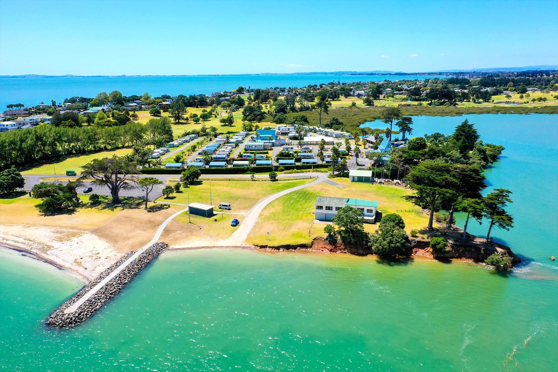
Kirk's Bush is at the intersection of Great South Road and Beach Road in Papakura. From Downtown Auckland, drive south on the southern motorway and take the Papakura exit, then follow Beach Road east towards the town centre; the reserve entrance is clearly signposted on the right, with adjacent street parking. The drive is around 32 km nd takes 40 minutes. Papakura Railway Station on the Southern Line is within easy walking distance.
Nearby places to visit include Tōtara Park and the Auckland Botanic Gardens in Manurewa, about 10 km north, and the Hunua Ranges Regional Park to the east, with longer bush walks and the Hunua Falls.