Discover the Hunua Ranges
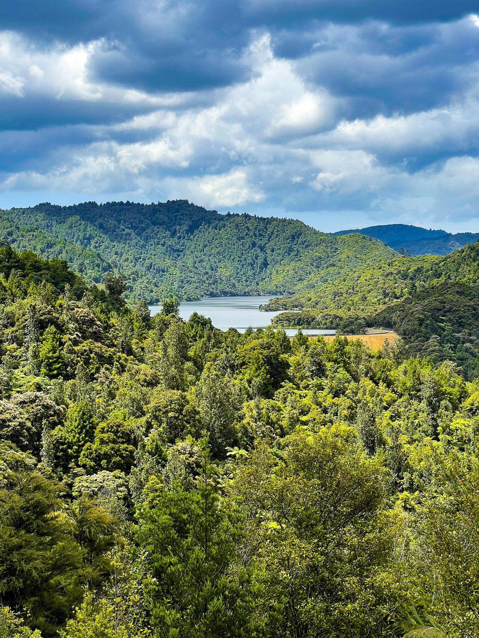
The Hunua Ranges, located on the border between Auckland and the Waikato, are a scenic escape with steep hills and green regenerating forests. Covering approximately 250 square kilometres, over 70% of this area is part of the Hunua Regional Park, one of the 28 regional parks in Auckland.
The south side features access to reservoirs, walking and biking tracks and the Hunua Falls. The northeast side of the Ranges descends dramatically to the Firth of Thames, offering stunning views. A drive through the picturesque Hunua Gorge via Hunua Road from Papakura is a recommended route, with several stopping points, including a hidden waterfall.
Natural Features and History
The Ranges are characterised by steep hills, with Kohukohunui being the highest point at 688 metres. The landscape is similar to the Waitākere Ranges in west Auckland, featuring ancient volcanic formations, rock outcrops and forest regrowth, including kauri trees. Historically, the area was heavily logged for kauri after European settlement.
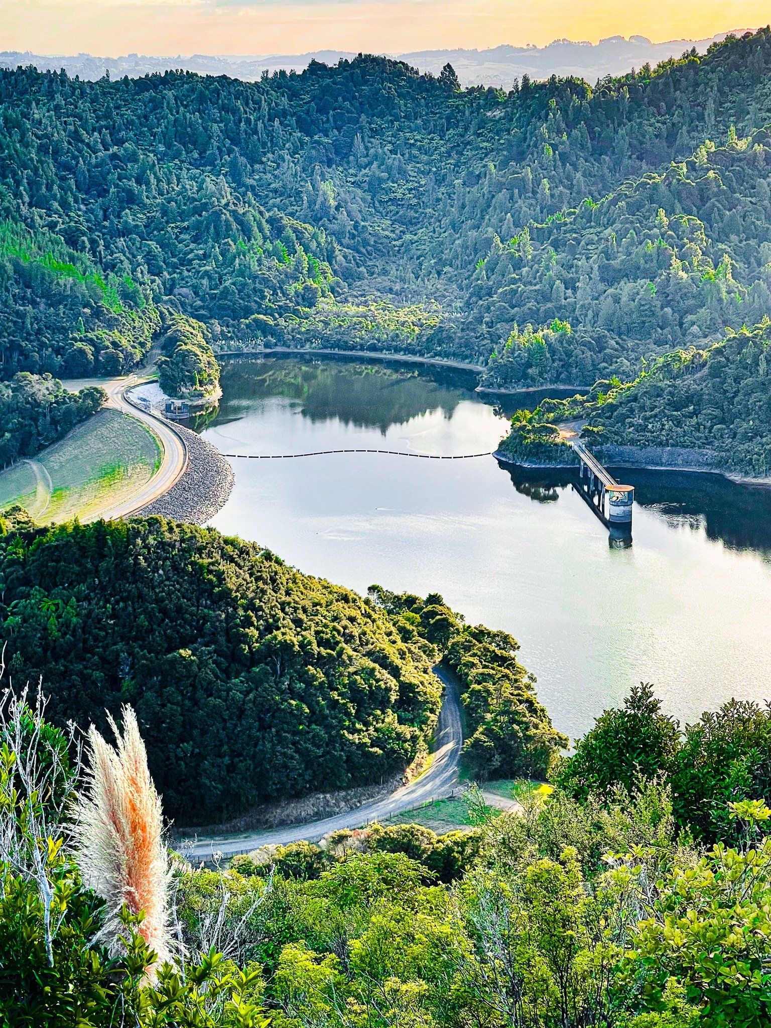
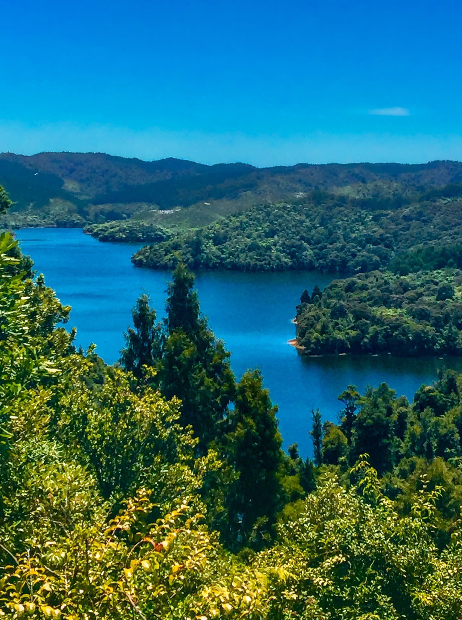
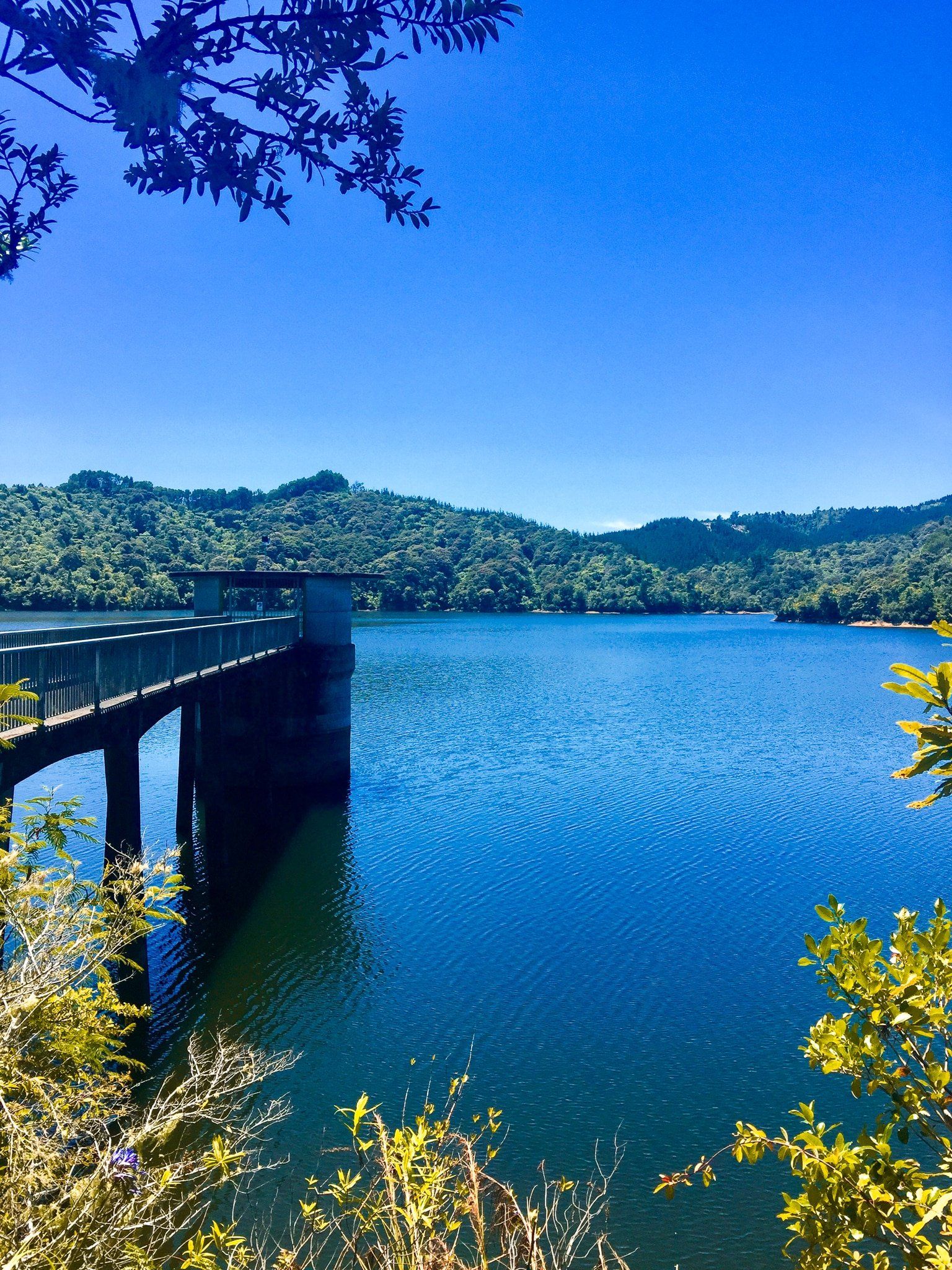
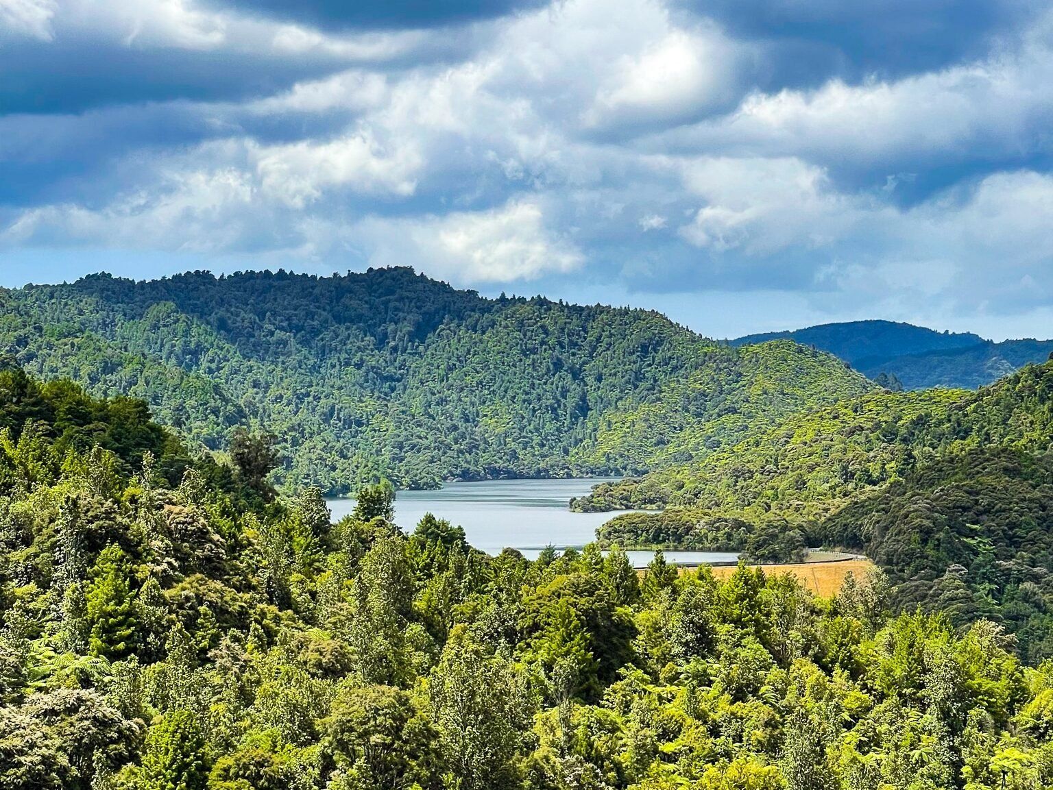
In the 1900s, Auckland City acquired much of the Ranges to develop water reservoirs, which facilitated forest recovery and the establishment of the park. Today, it serves as Auckland City's largest water catchment area, with several accessible public reservoirs.
Hiking and Outdoor Activities
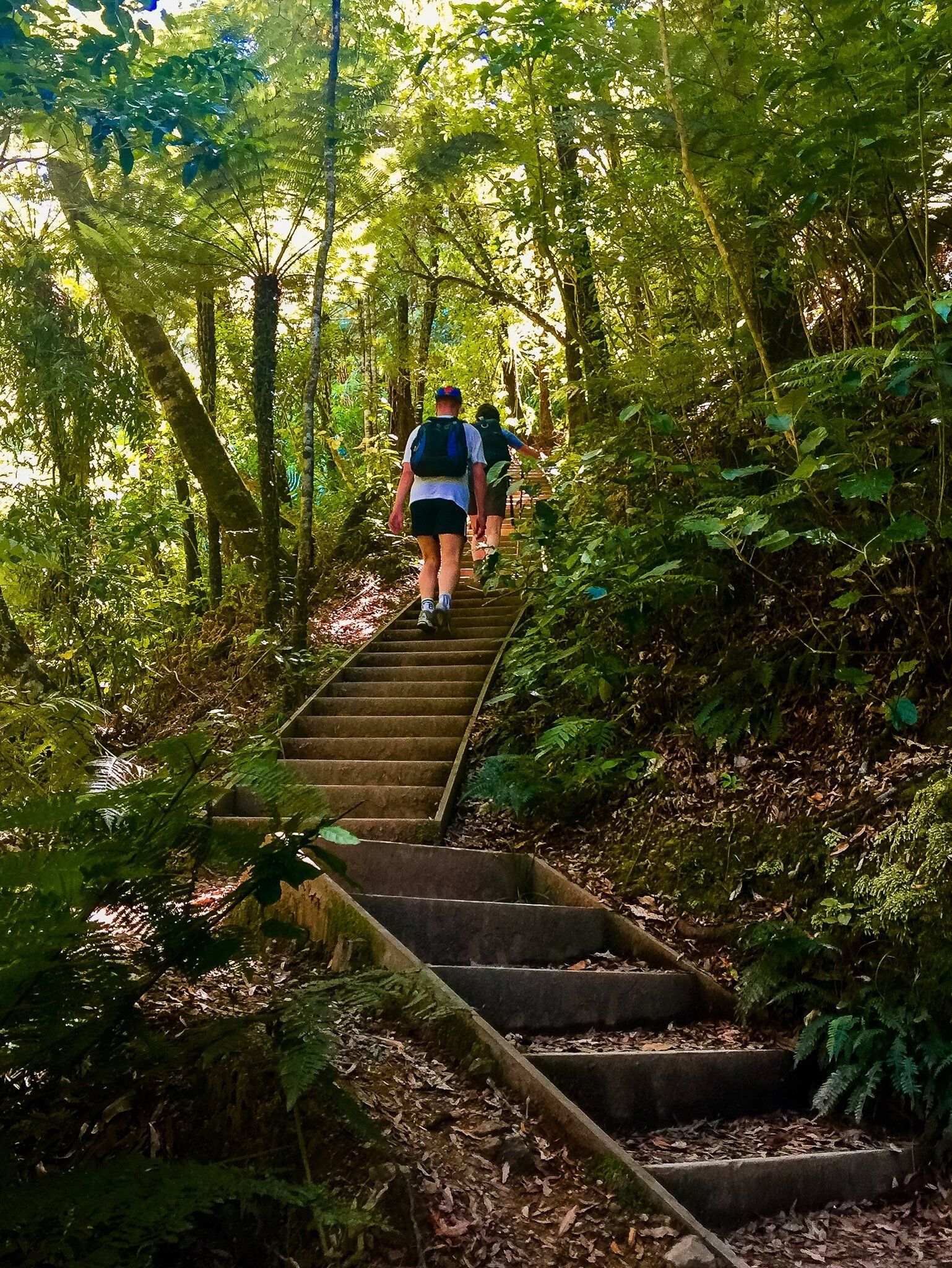
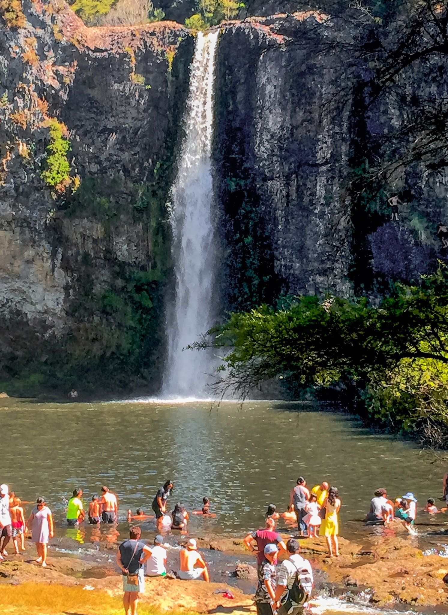
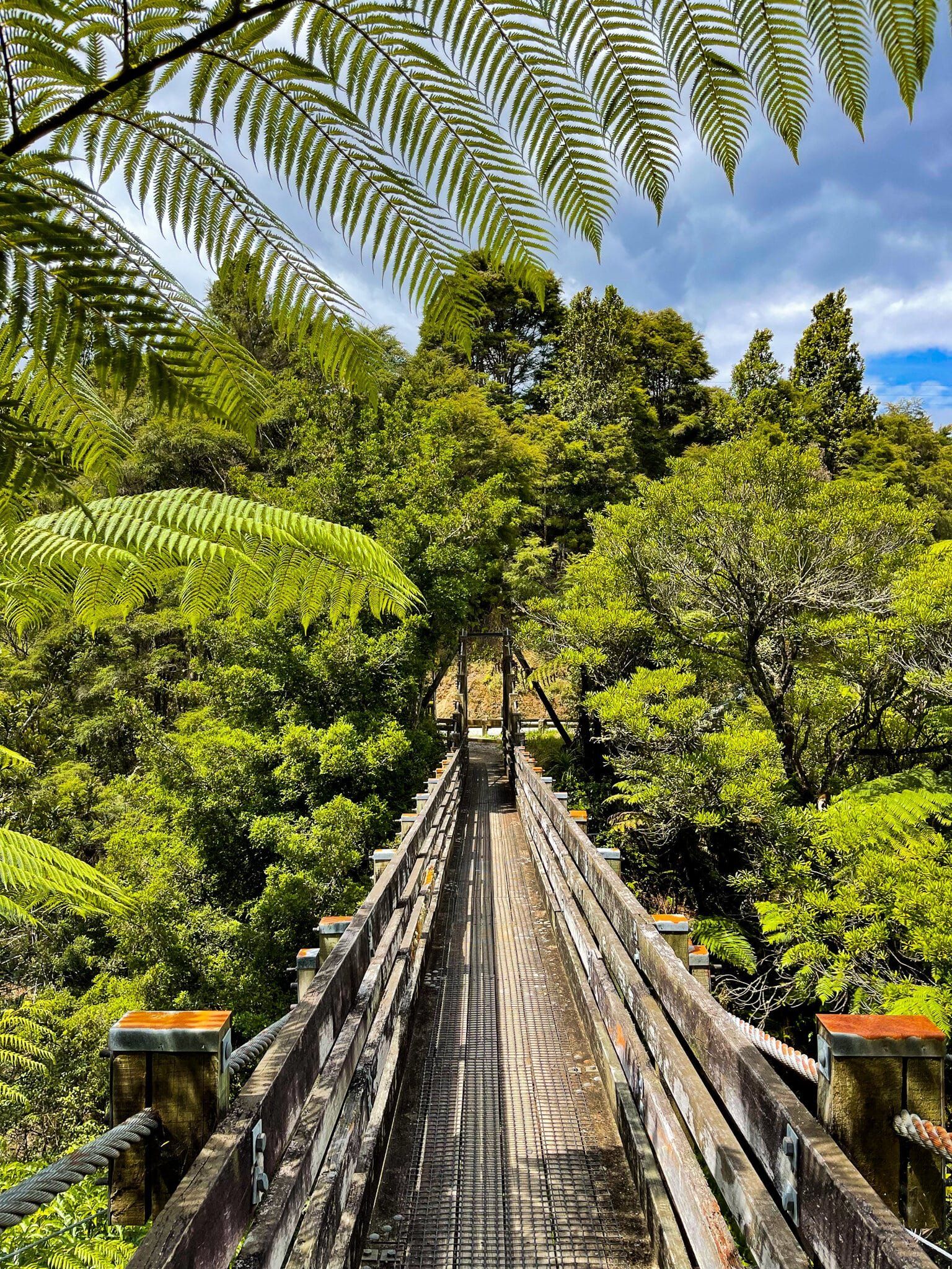
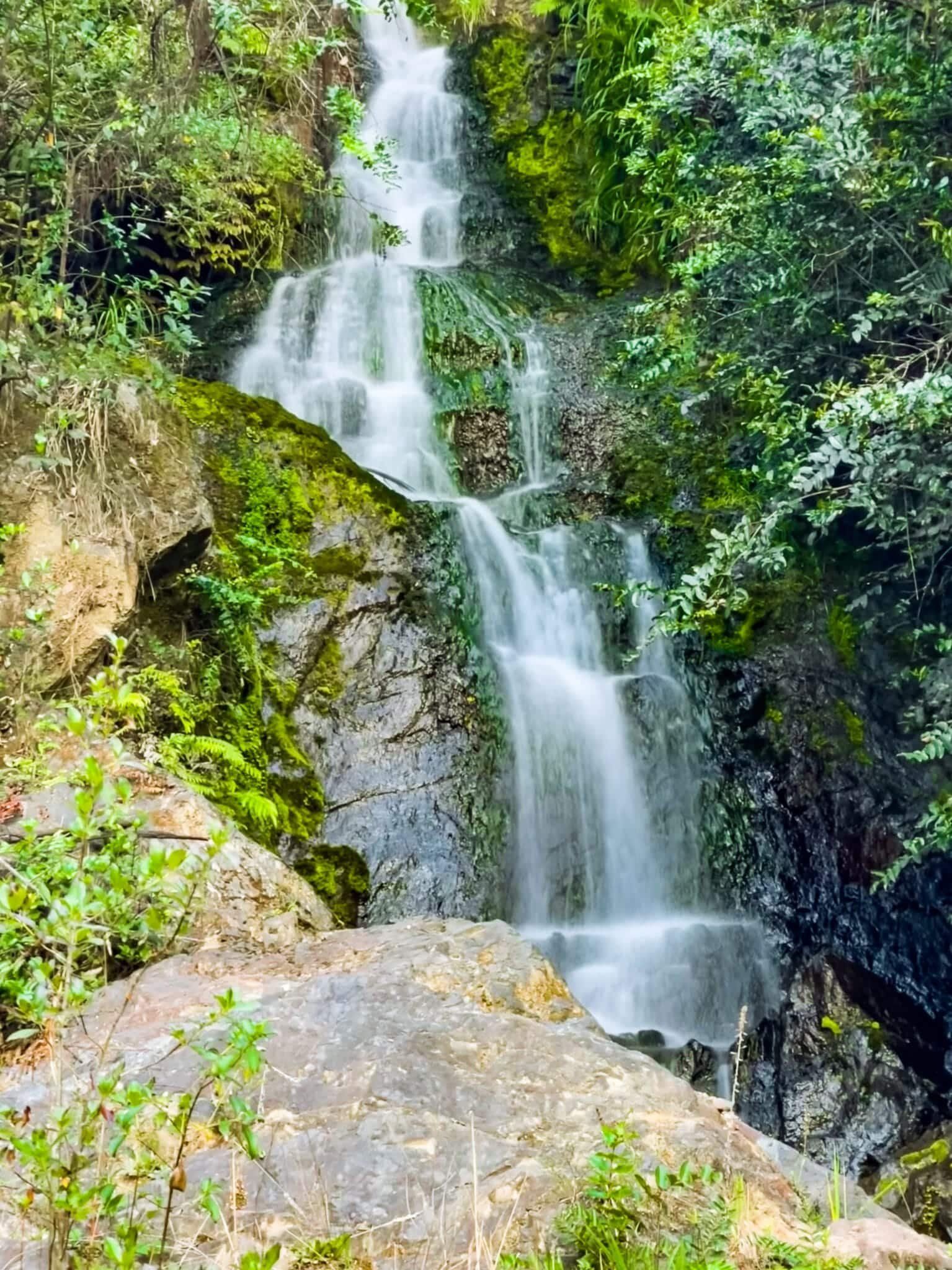
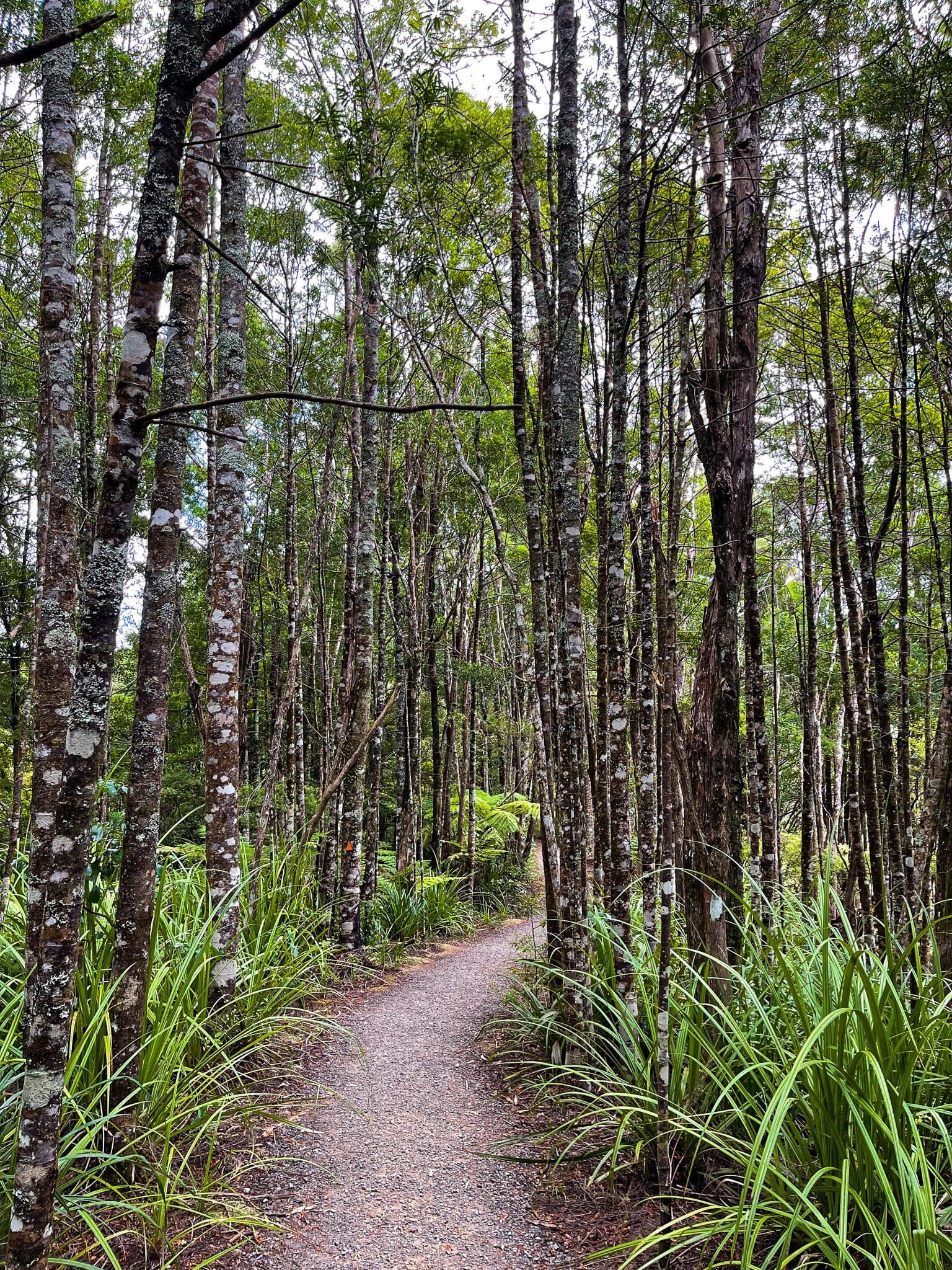
Hunua Regional Park has numerous hiking trails and campsites, including multi-day options. While some tracks are closed due to kauri dieback disease, most remain open. The Cossey Massey Loop, starting from the very popular Hunua Falls, is one of the best half-day walks in the region.
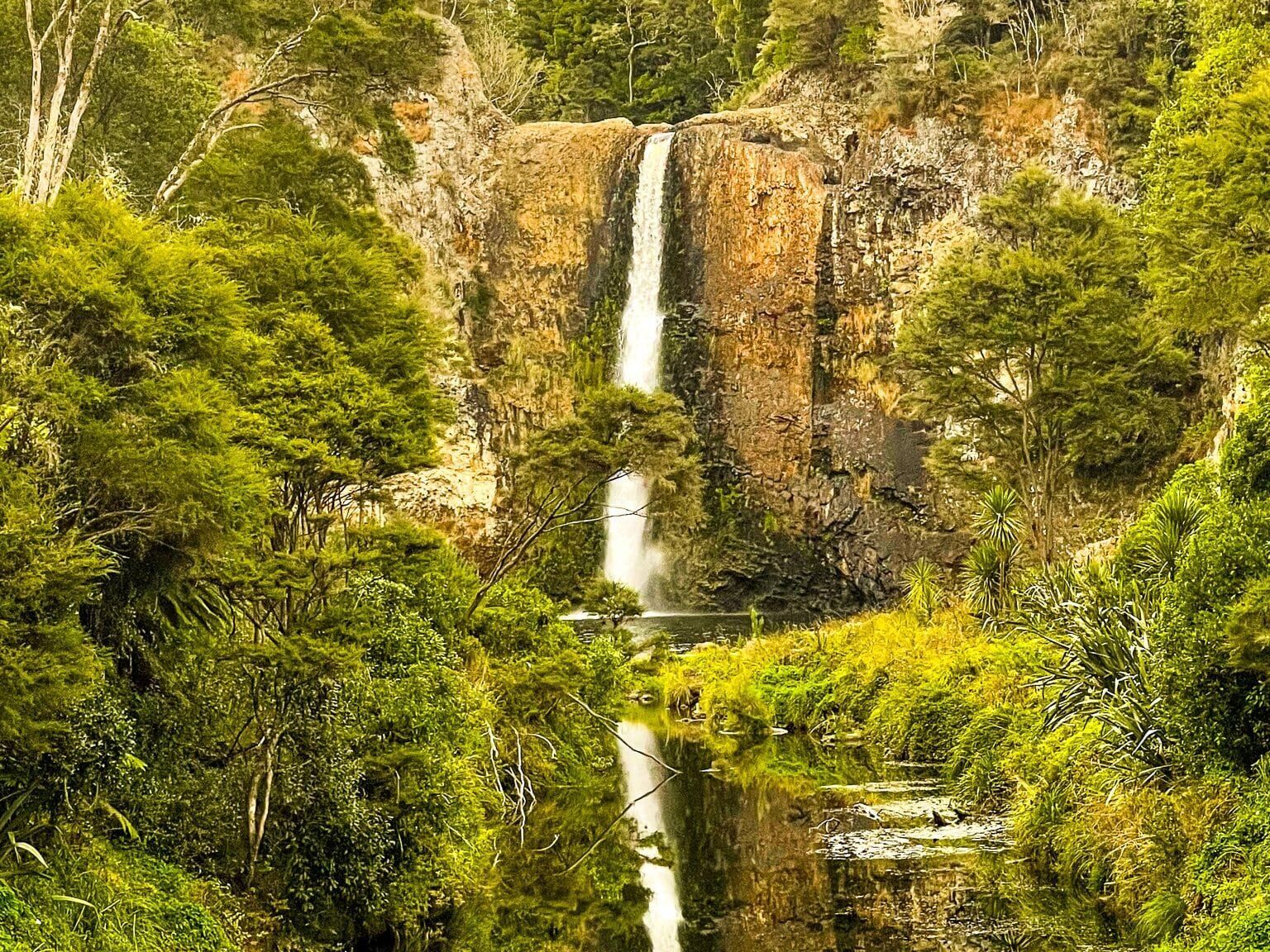
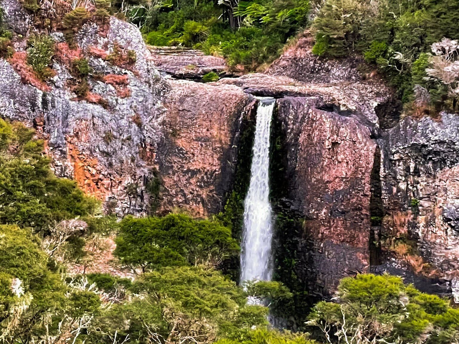
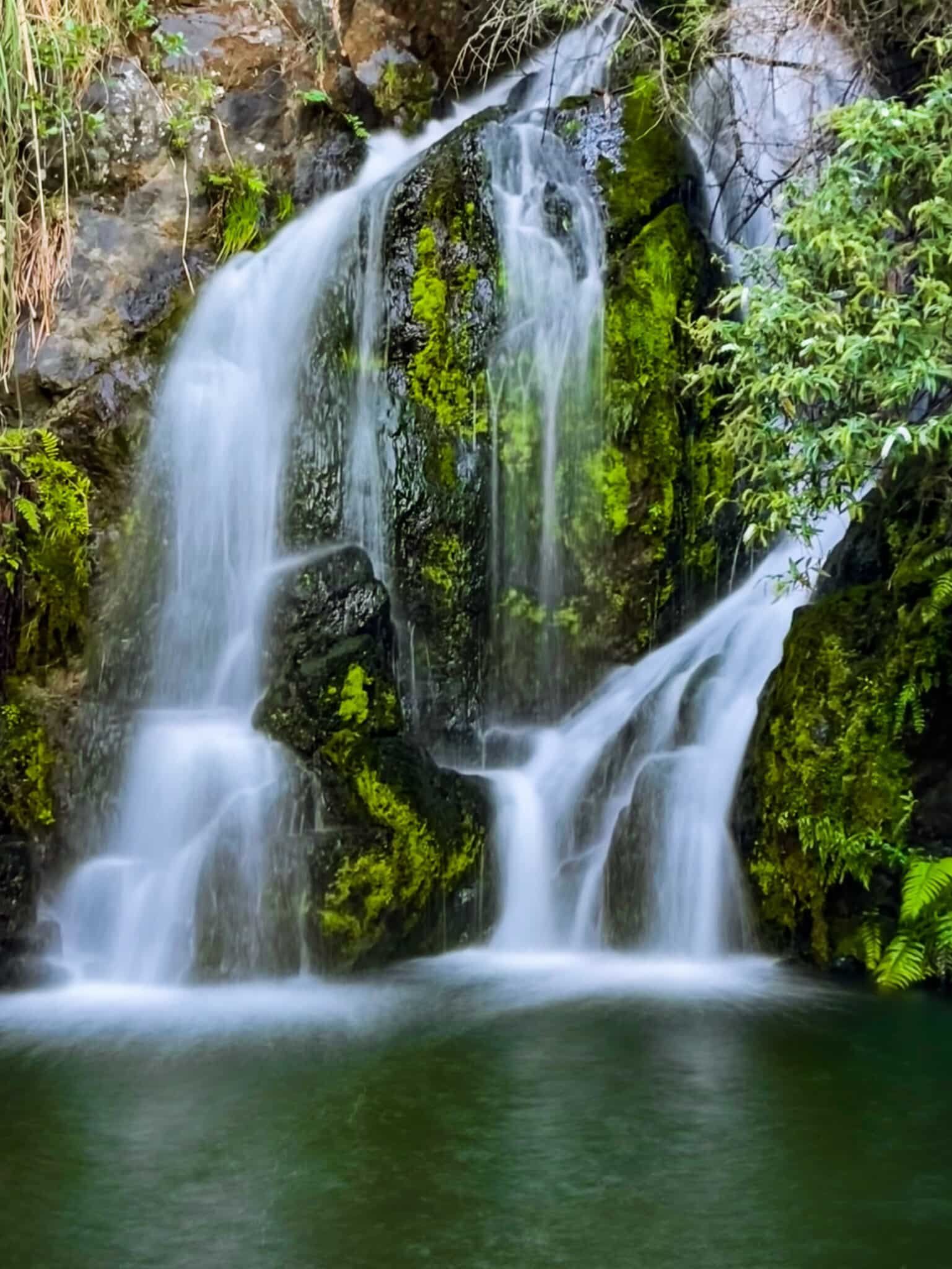
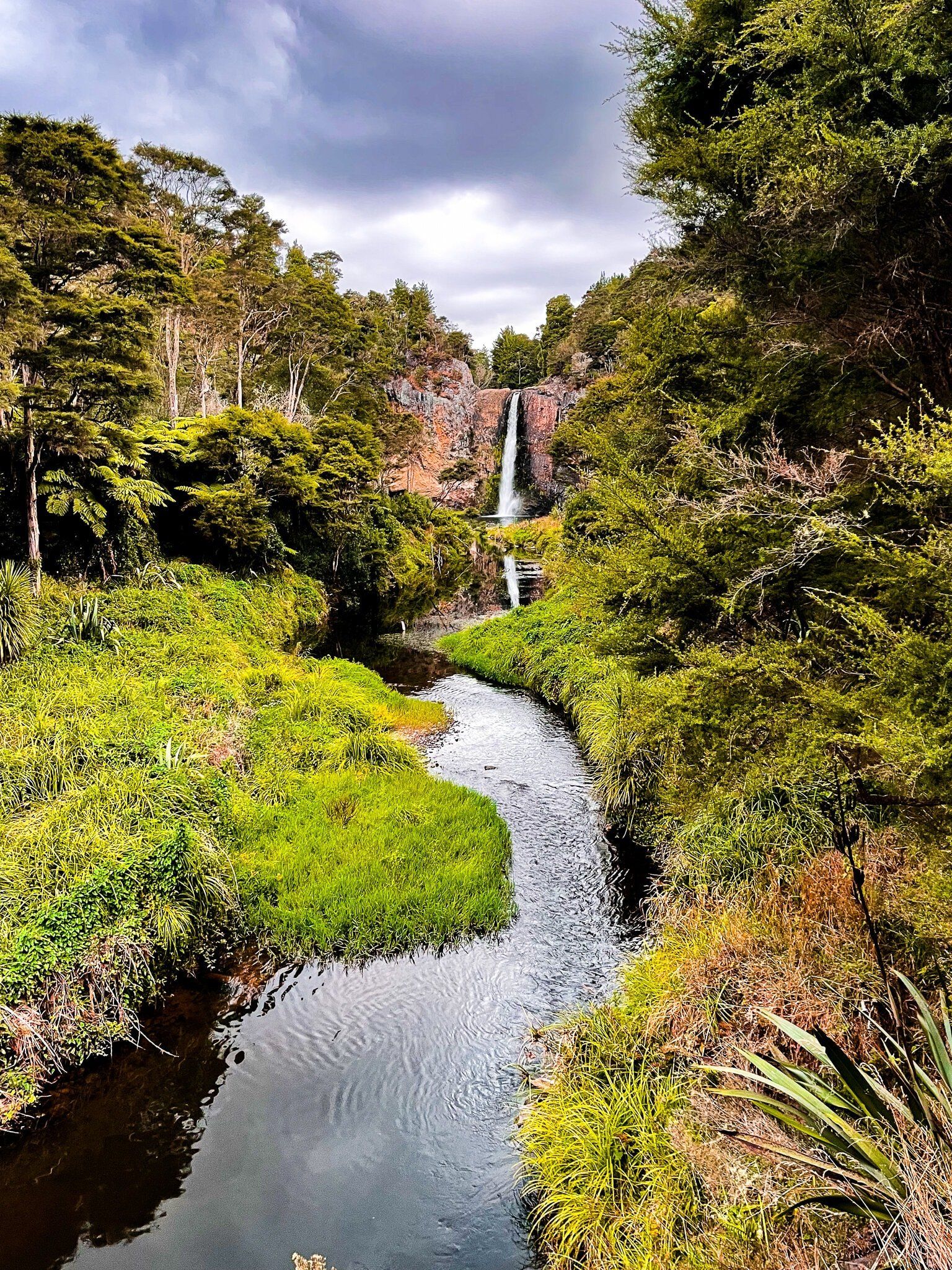
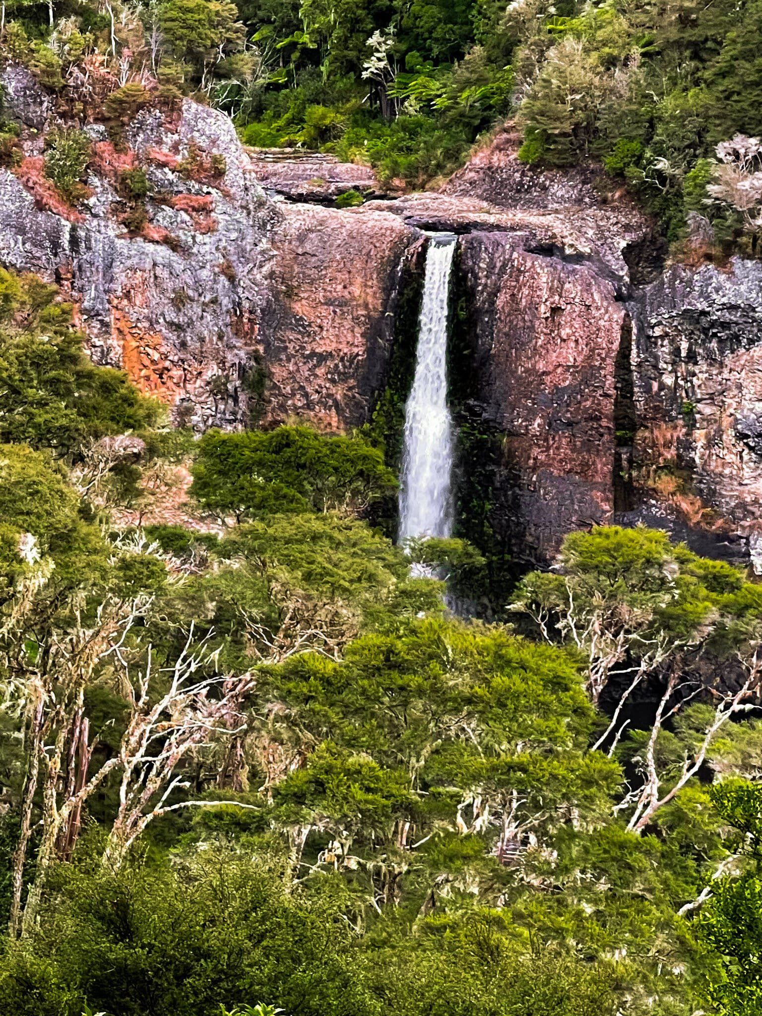
From the Falls, you can also drive south on Hunua Road to Moumoukai Road, which leads to two excellent loop walks from Otau Road near Wairoa Reservoir. This area also features lesser-known waterfalls, such as the Wairoa Falls. Continuing on Moumoukai Road, you can access the Mangatawhiri Reservoir and additional tracks, some of which include on-road sections.
Other Access Points and Routes
The west side of the Ranges is accessible directly from Auckland, while the east side can be reached via East Coast Road on the Firth of Thames. This access is to the Waharau Regional Park near Wharekawa, with short forest walks and a half-day loop with views of the Coromandel Peninsula. On the southern side, the Mangatangi Reservoir is accessible by car from Kaiaua Road. This is also part of the Hunua Traverse, a 44.5 km cycle trail that goes from Kaiaua to Clevedon, mostly via gated gravel work roads across the Hunua Ranges.
How to Get There
The fastest way to reach the Hunua Ranges from Downtown Auckland is to take the southern motorway to Papakura. From the off-ramp, take Beach Road east to Hunua Road, then follow this towards the township of Hunua. Just before Hunua, turn north onto White Road, and shortly after, turn east onto Falls Road. There is a large car park, but it's best to avoid public holidays. This drive will take 50 minutes and is 50 km.
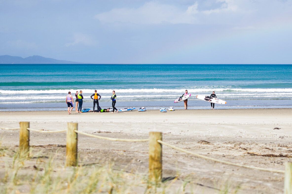
For those interested in exploring more of the region, the Waitākere Ranges provide additional hiking opportunities and access to the wild black-sand surf beaches of Auckland's west coast. Other nearby regional parks include Clevedon Scenic Reserve, Waitawa Regional Park and Tāpapakanga Regional Park.