Exploring Mahinepua Bay
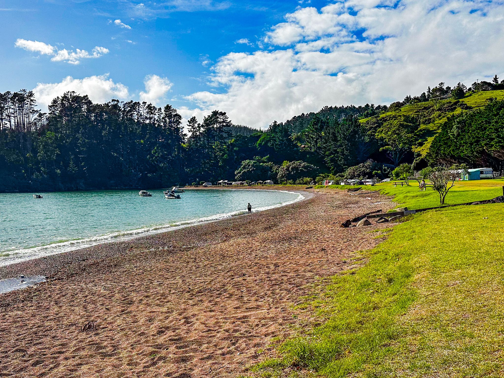
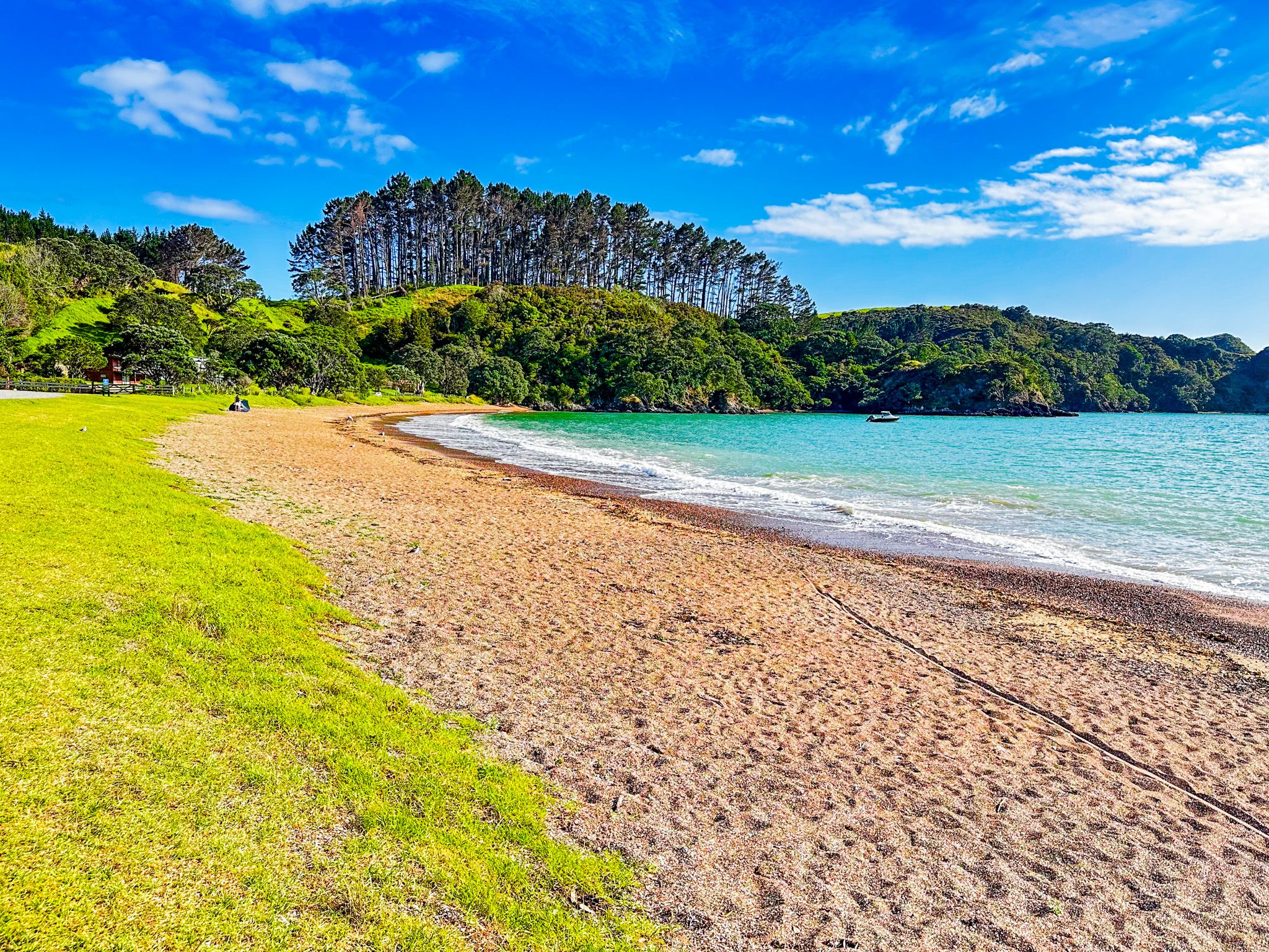
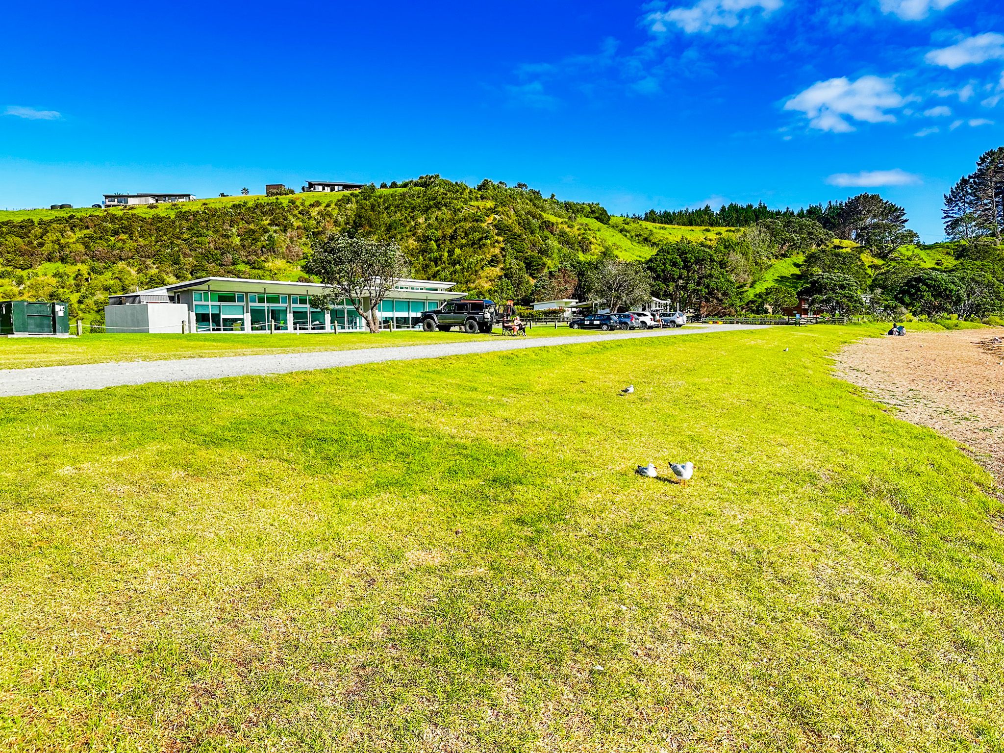
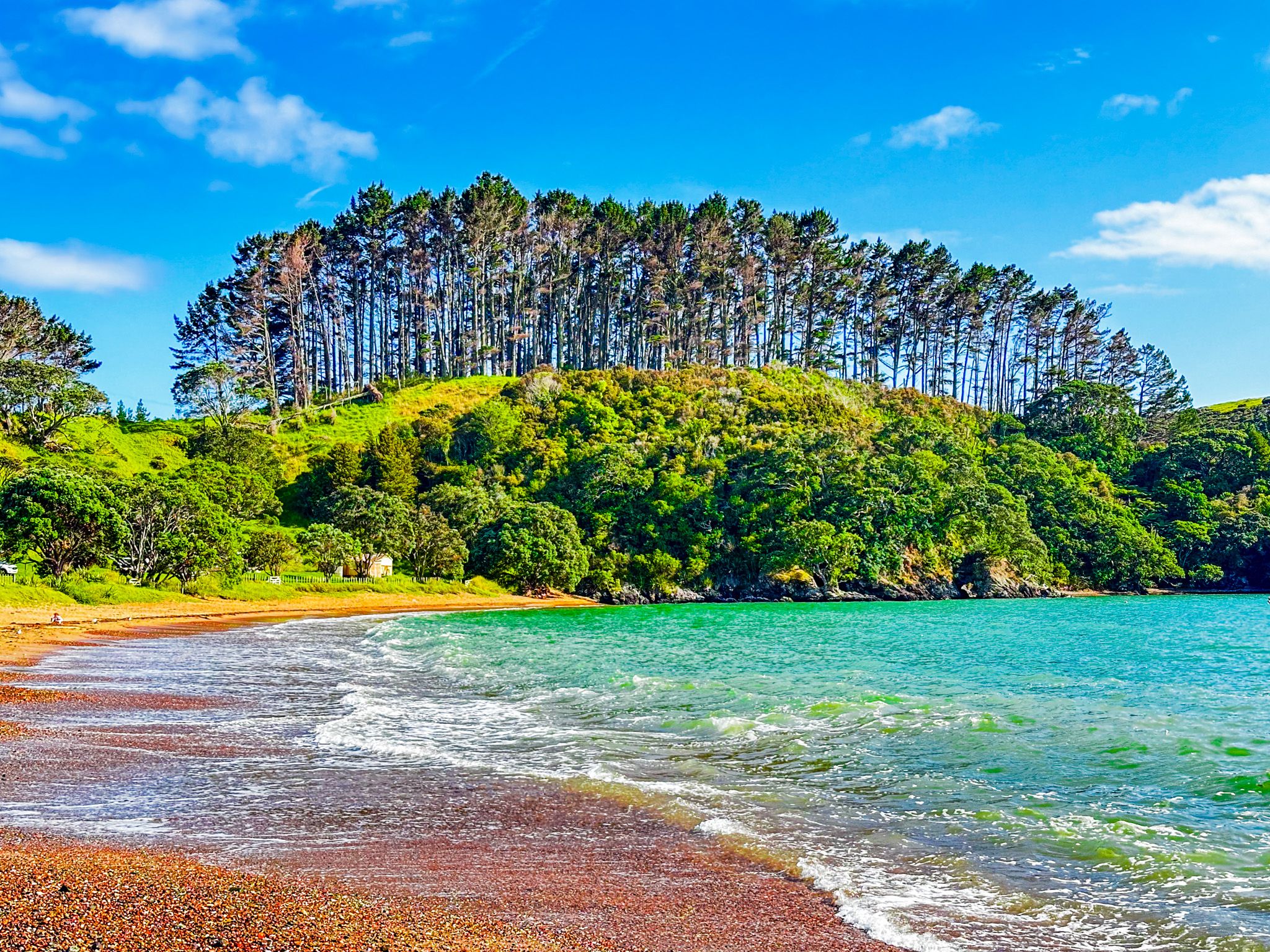
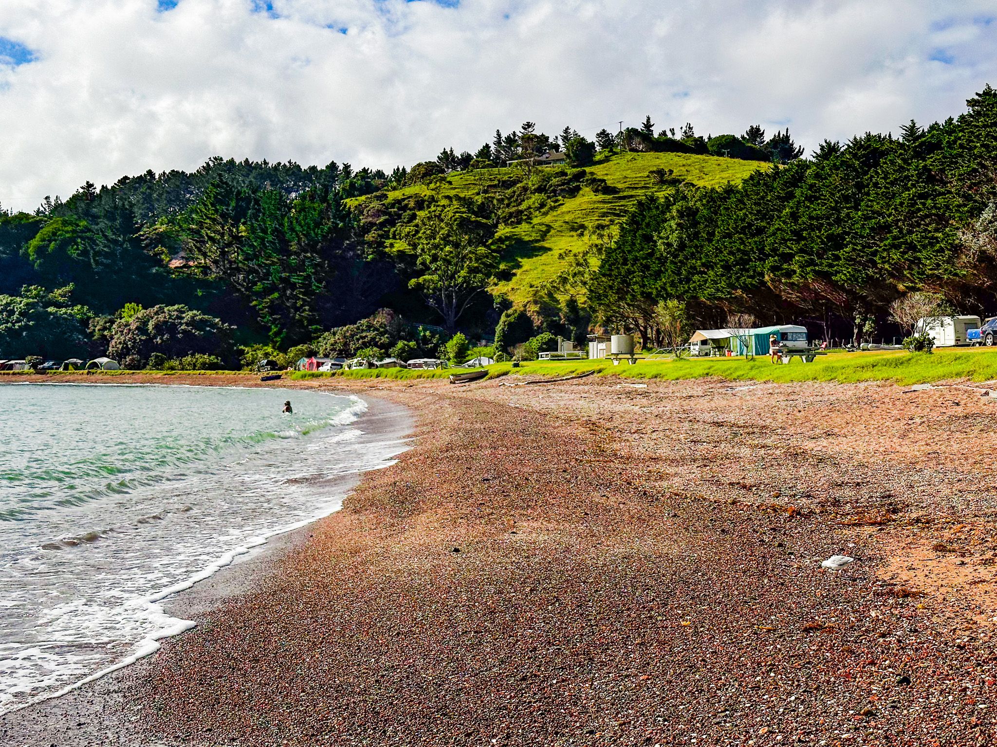
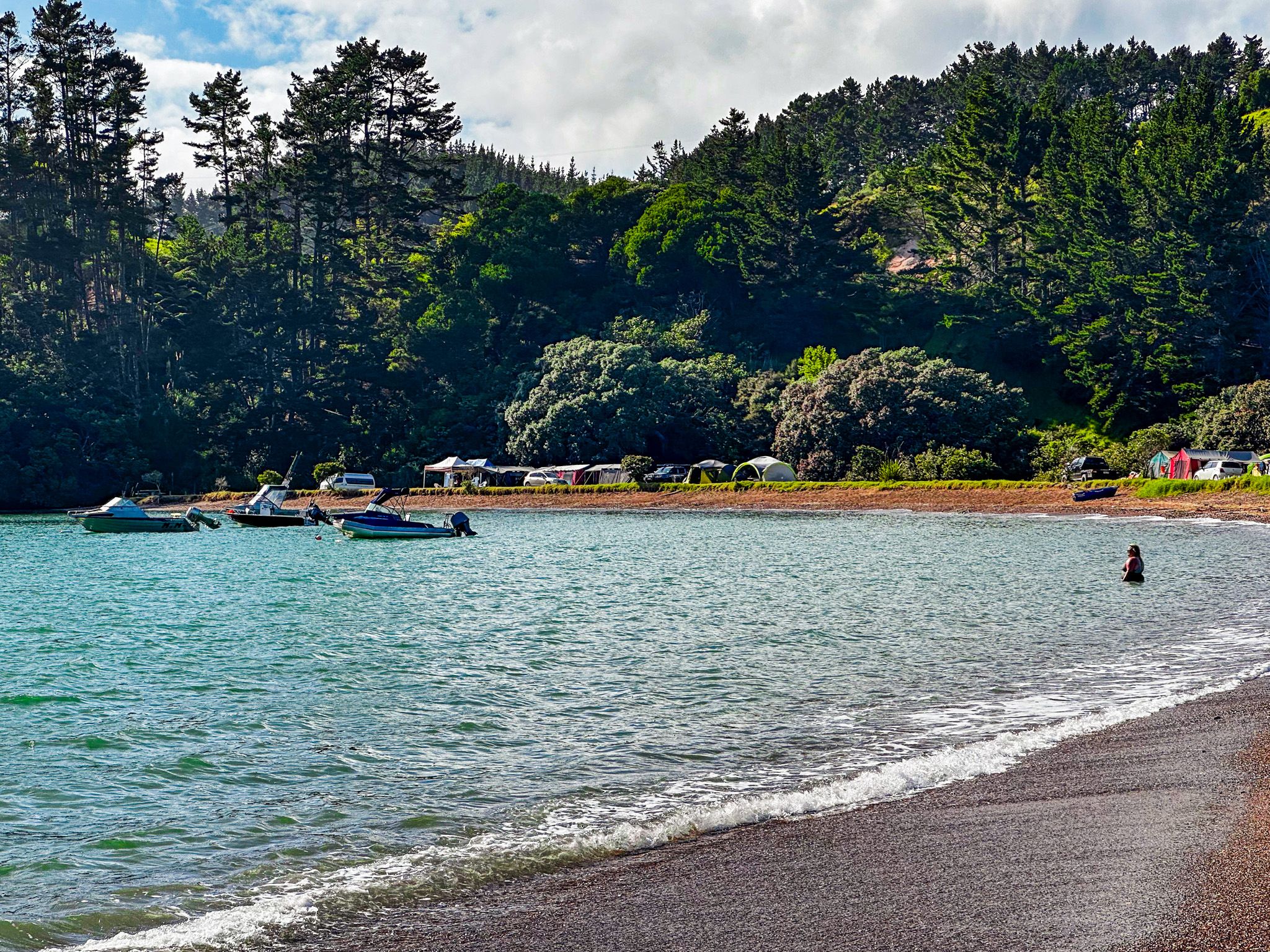
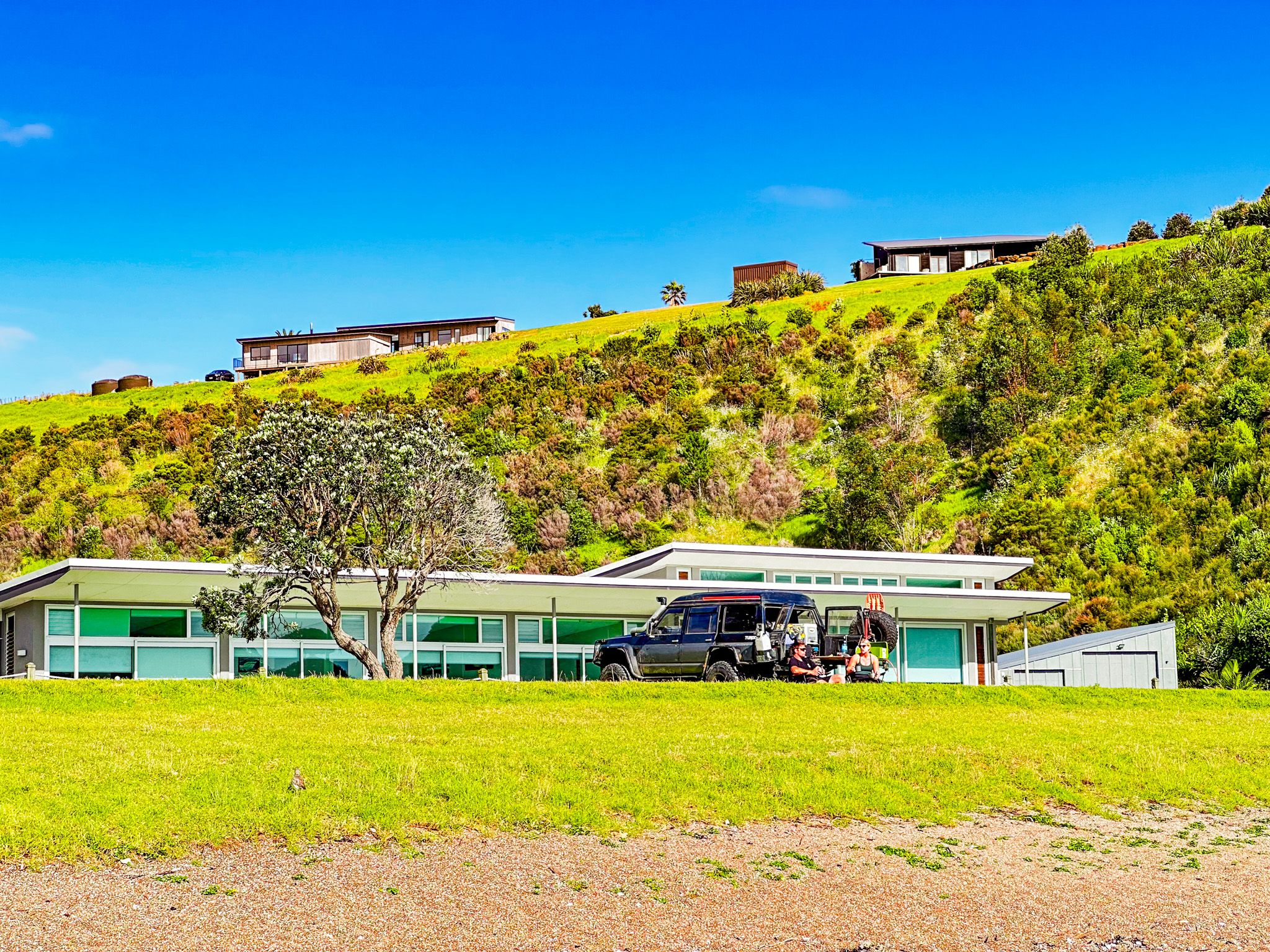
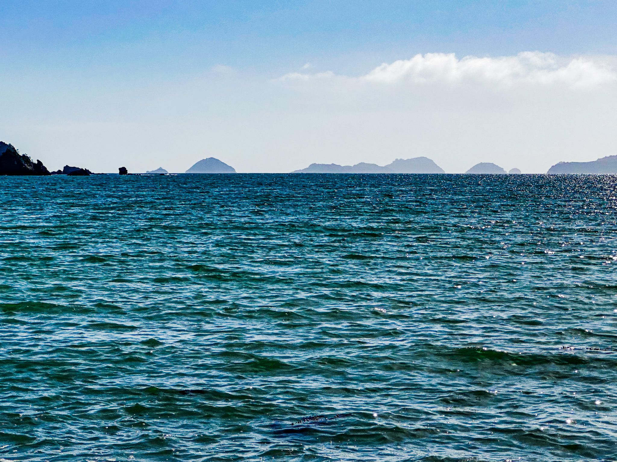
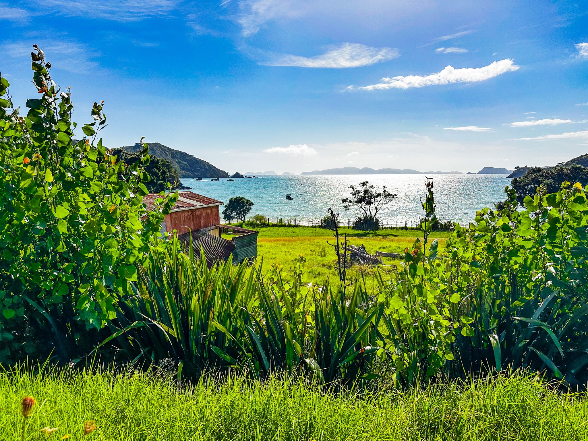
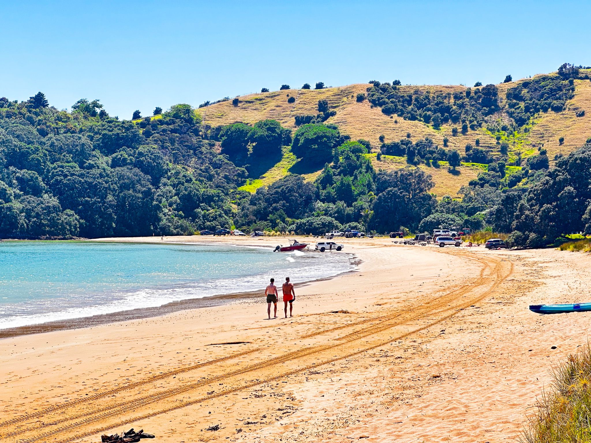
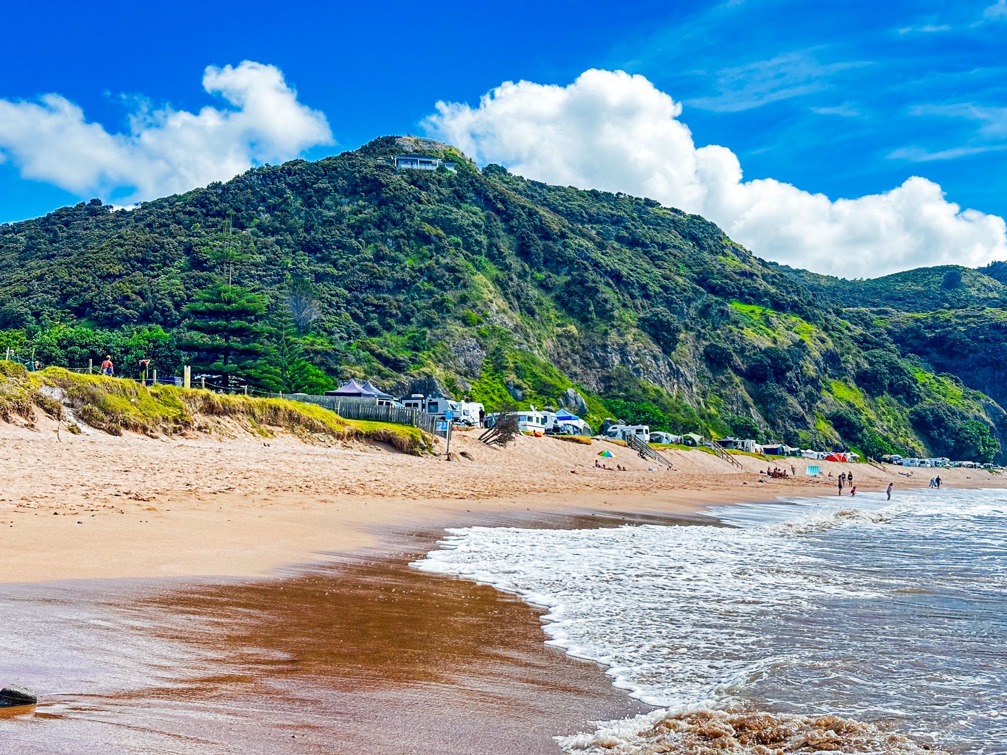
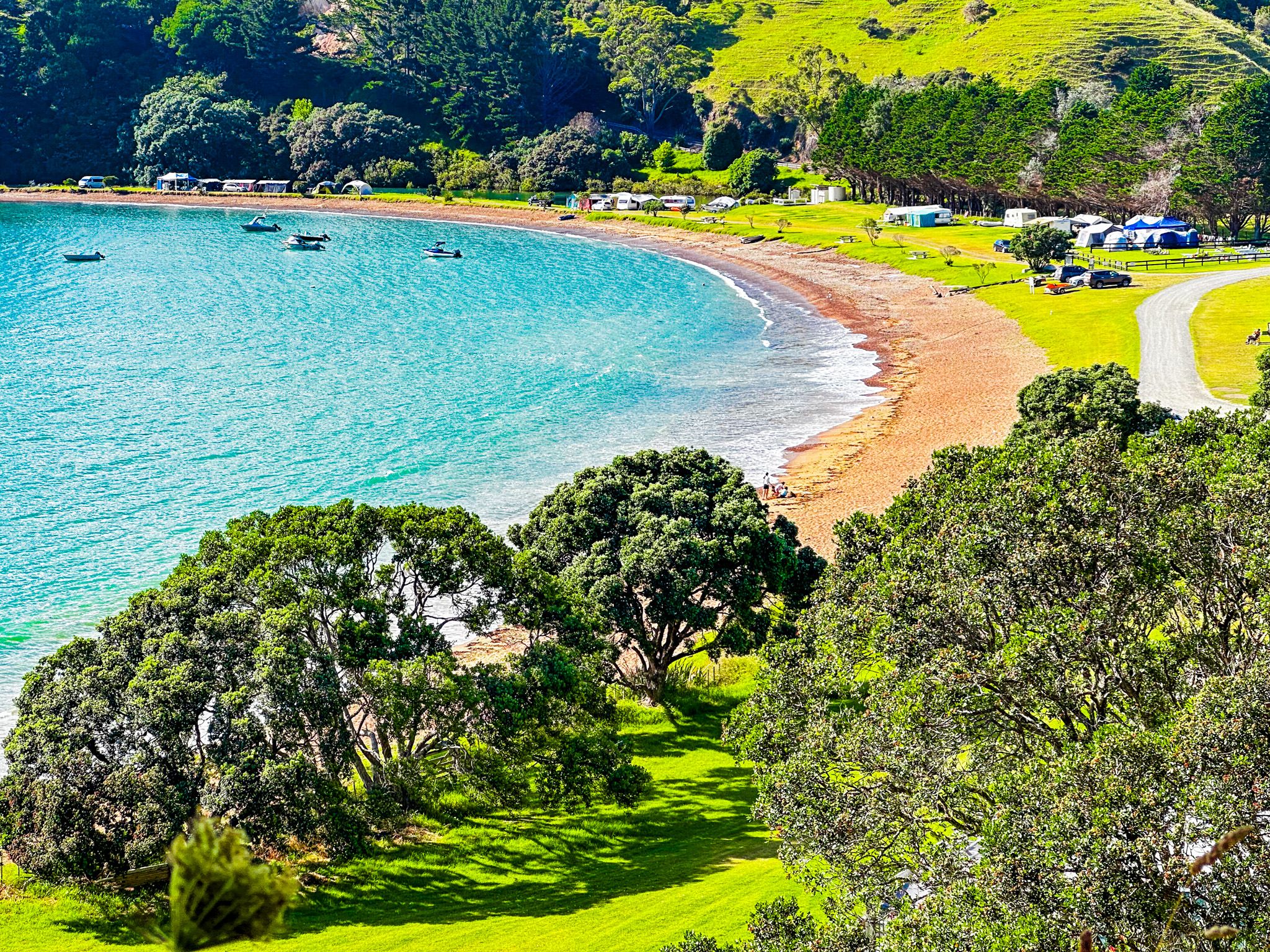
Mahinepua Bay, located in Northland, is a delightful destination accessible via a short detour from Wainui Road. The bay features a 600-metre crescent-shaped beach, ideal for swimming and launching small boats. It is well protected by the 4.5 km Mahinepua Peninsula to the north. At the southern end of the beach, there is a historic cemetery and reserve, while several holiday homes are situated to the north.
Historical Significance
Historically, Mahinepua Bay was a borderland between the Ngāpuhi and Ngāti Kahu iwi. The peninsula's high ground hosted several pā sites, with gardens in the valley and hills behind the beach. However, during the Musket Wars, Hongi Hika's military campaigns led to the depopulation of the area. This made it easy for Europeans to acquire land and settle, and, by 1912, the area was extensively farmed.
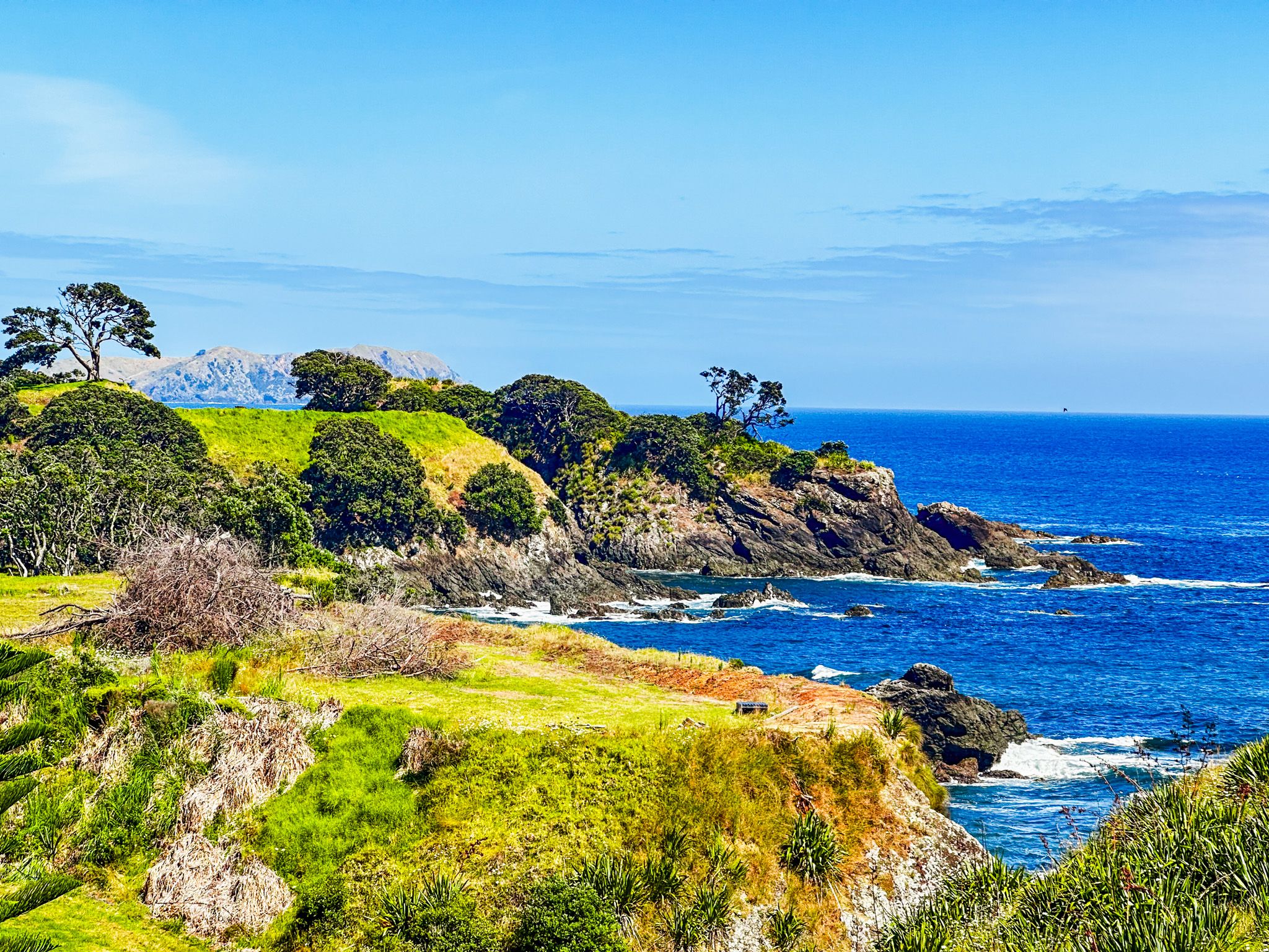
Mahinepua Peninsula Walking Track
In 1978, the Department of Conservation (DOC) took control of the peninsula and developed an excellent walking track. This track is surrounded by regenerating native forest, with superb coastal views and access to two smaller beaches.
How to get to Mahinepua Bay
Mahinepua Bay is located about halfway between Matauri Bay and Whangaroa Harbour. To reach the bay, take Wainui Road, which is approximately a 15-minute drive from either end. From there, a short side trip on Mahinepua Road will lead you directly to the beach.