Important Note: Mahinepu Peninsula Track is presently closed due to a slip.
Discover the Mahinepua Peninsula Track
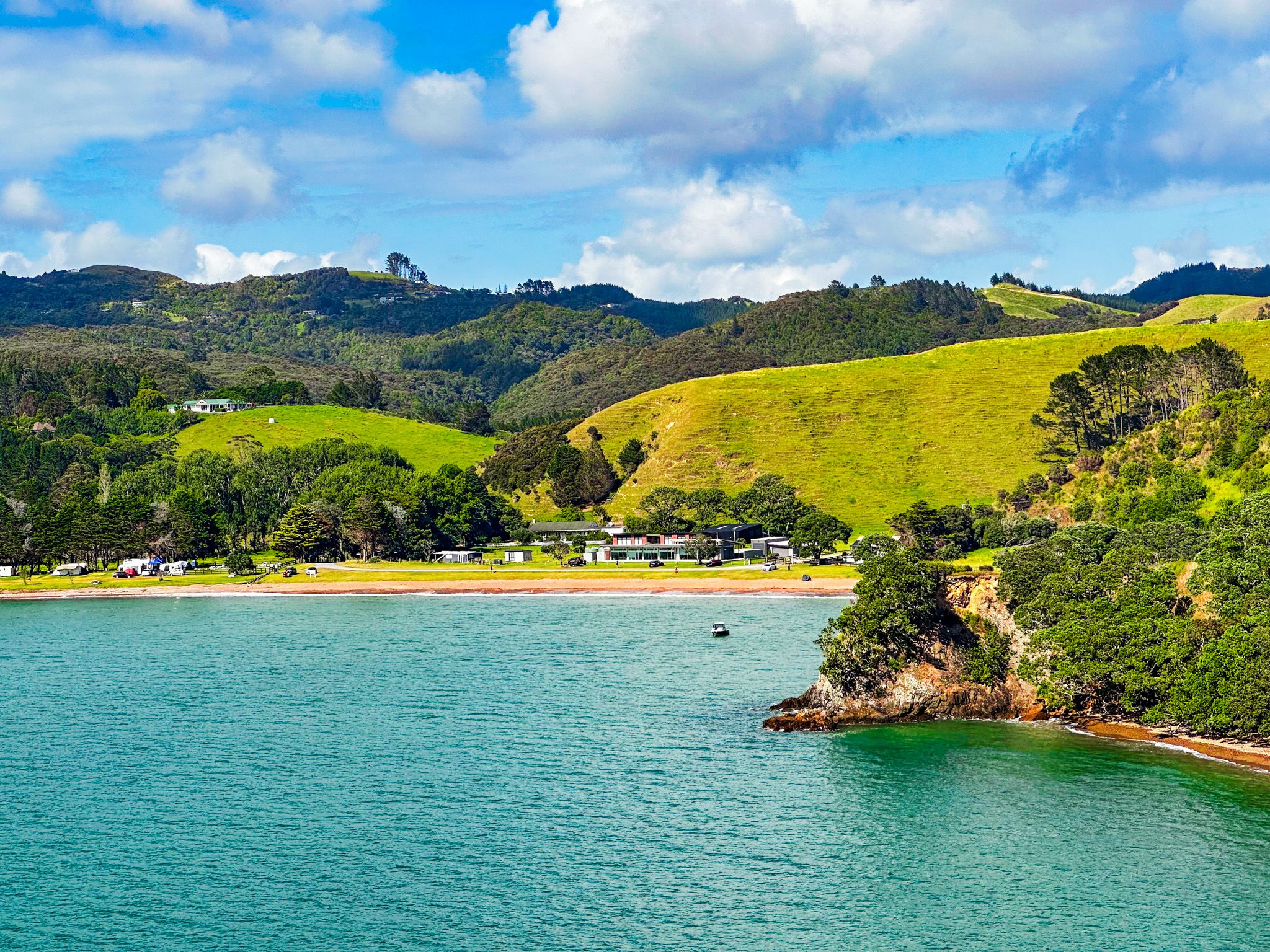
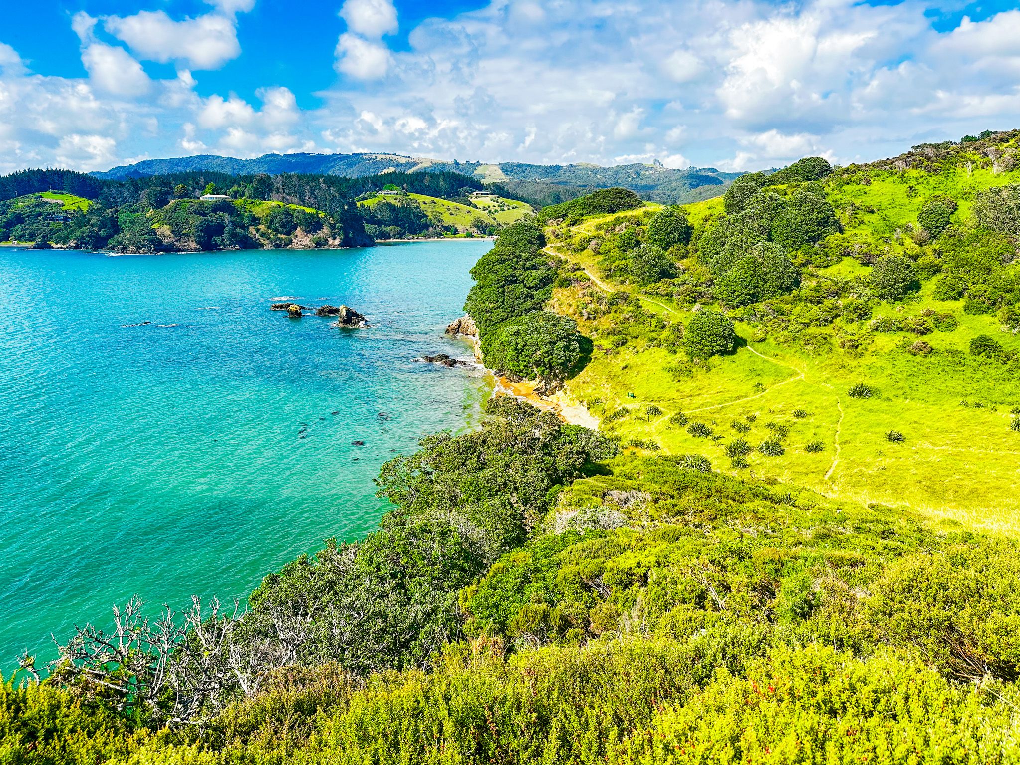
Located on the north side of Mahinepua Bay in the Far North of Northland, the Mahinepua Peninsula Track is a 3 km, 2-hour return walk with spectacular coastal views. This track is not only a visual delight but also a walk into the region's natural and historical heritage, including rare native mistletoe and significant pā sites.
Exploring the Track
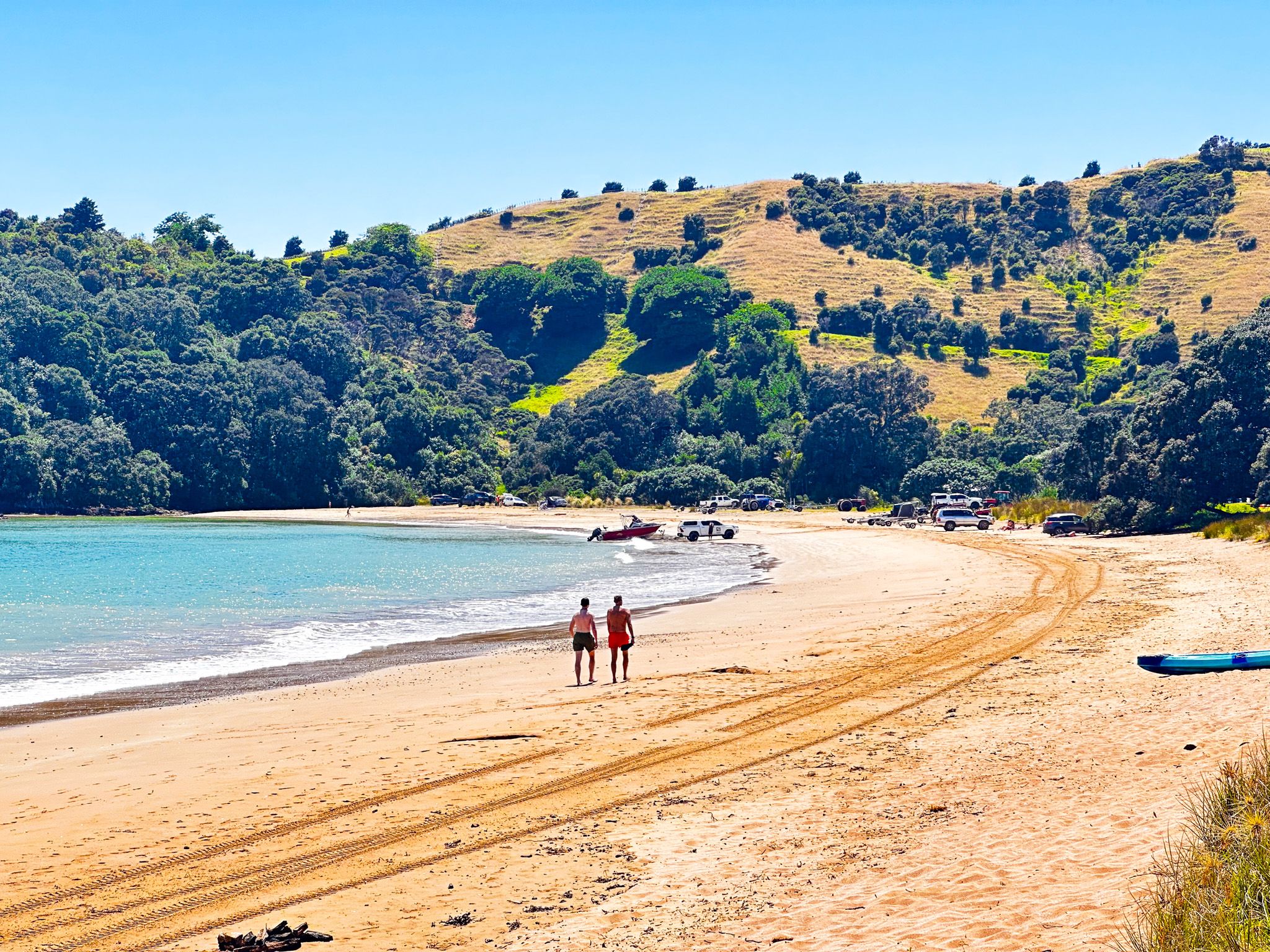
The journey begins at the end of Mahinepua Road, where you initially follow a gated private road that runs behind and above the beach, leading you to the start of the Mahinepua Peninsula. As you enter the Mahinepua Scenic Reserve, you'll notice the regenerating coastal shrubs and trees that now cover much of the area. The Department of Conservation assumed management of the peninsula in 1978, transforming it from farmland into a scenic reserve.
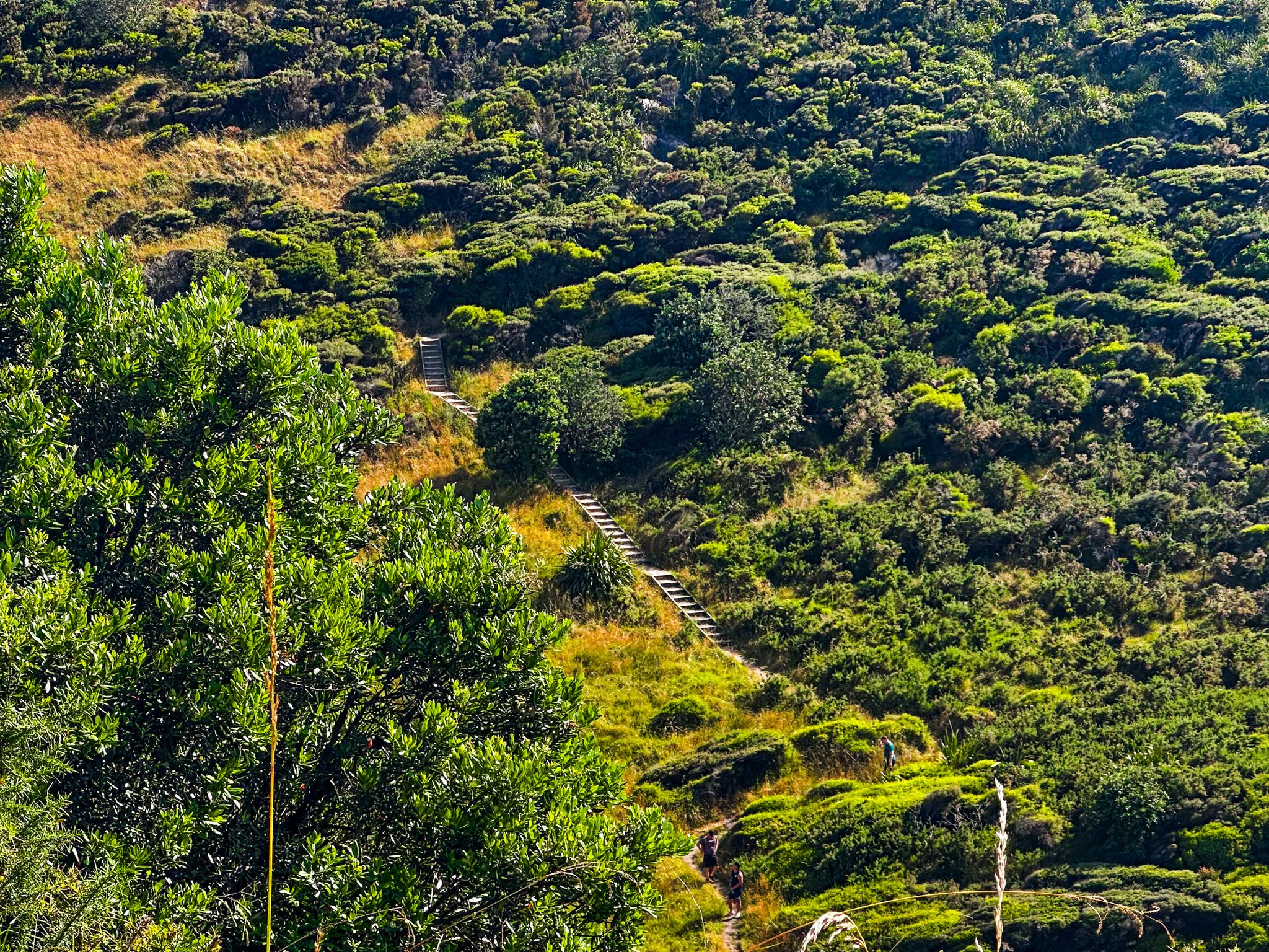
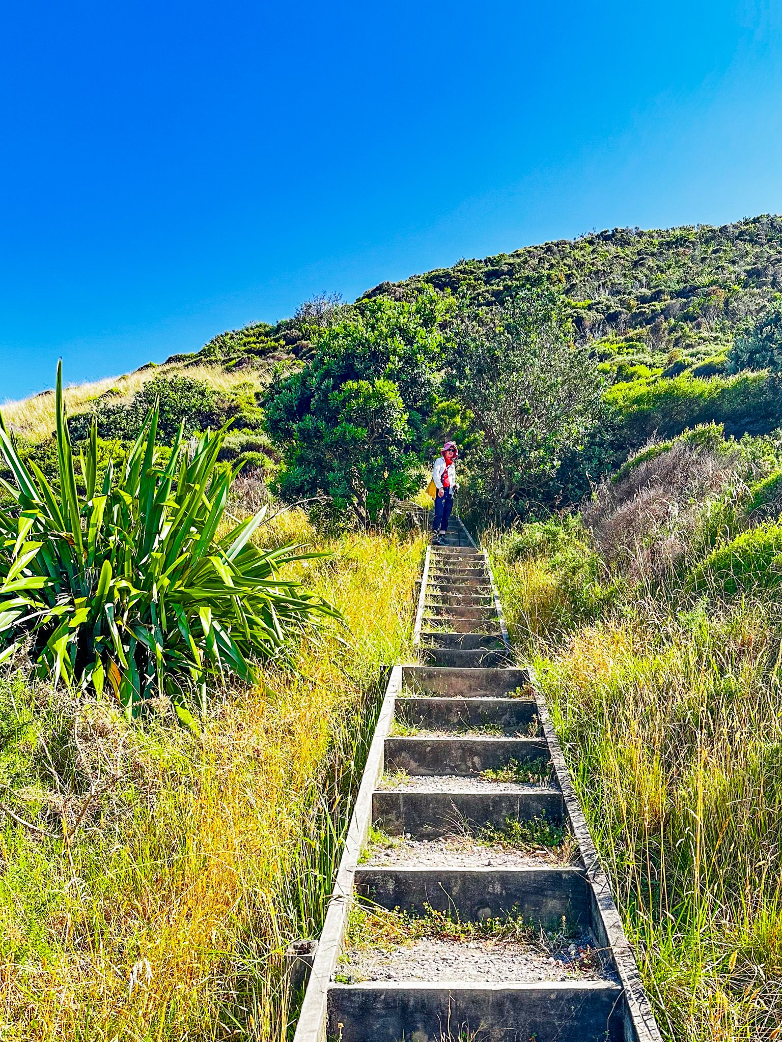
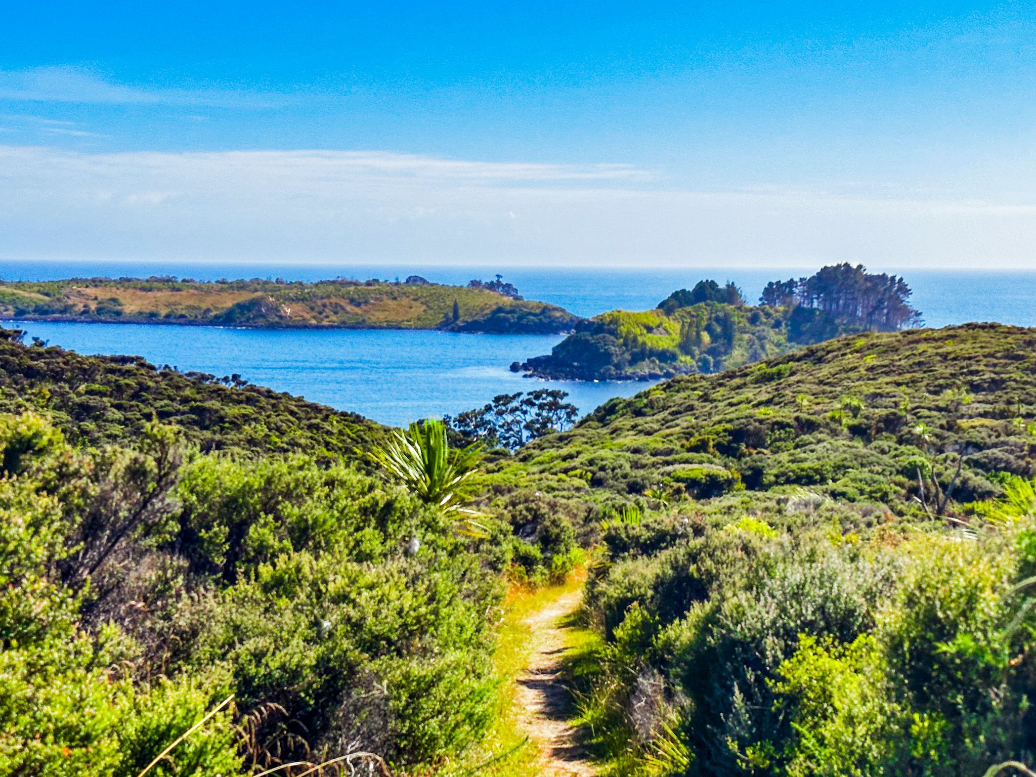
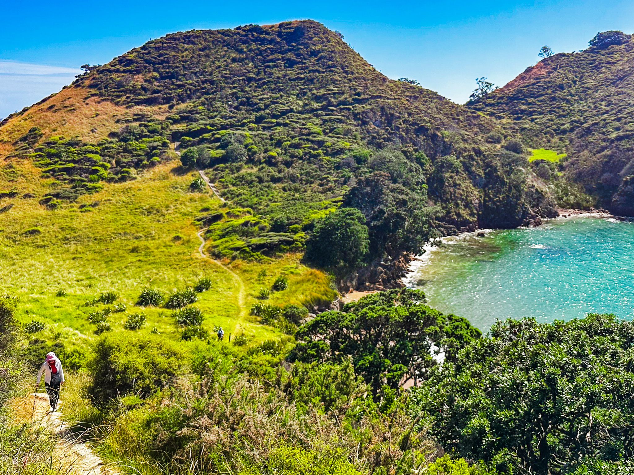
The track is a gravel-and-clay mix, with 200 formed steps designed to protect a significant pā site. Be prepared for a few steep sections as you navigate the 60 to 80-metre humps characteristic of the peninsula. While these steep drops offer breathtaking views, they require caution, especially if you're walking with small children. The clay sections can become slippery when wet, so take care.
Highlights Along the Way
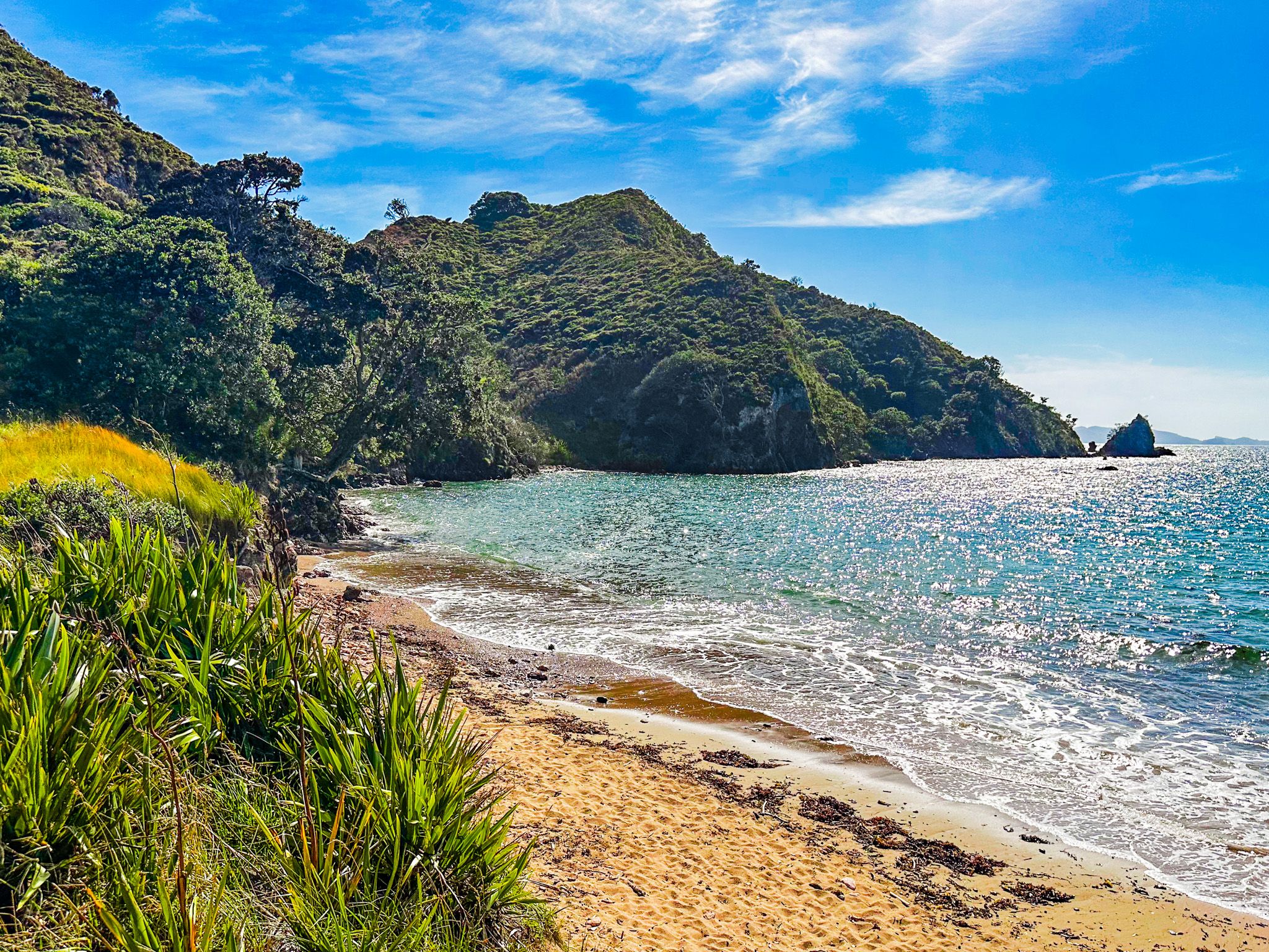
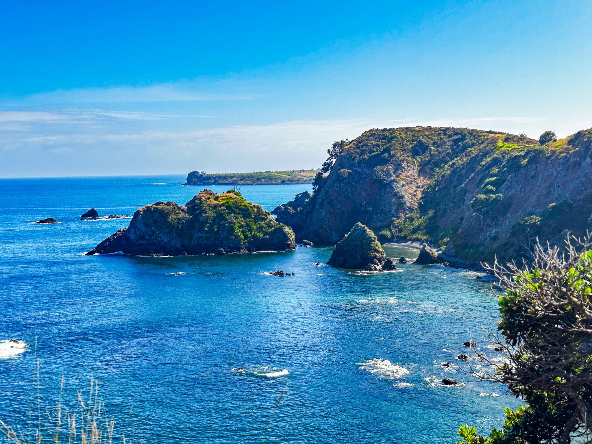
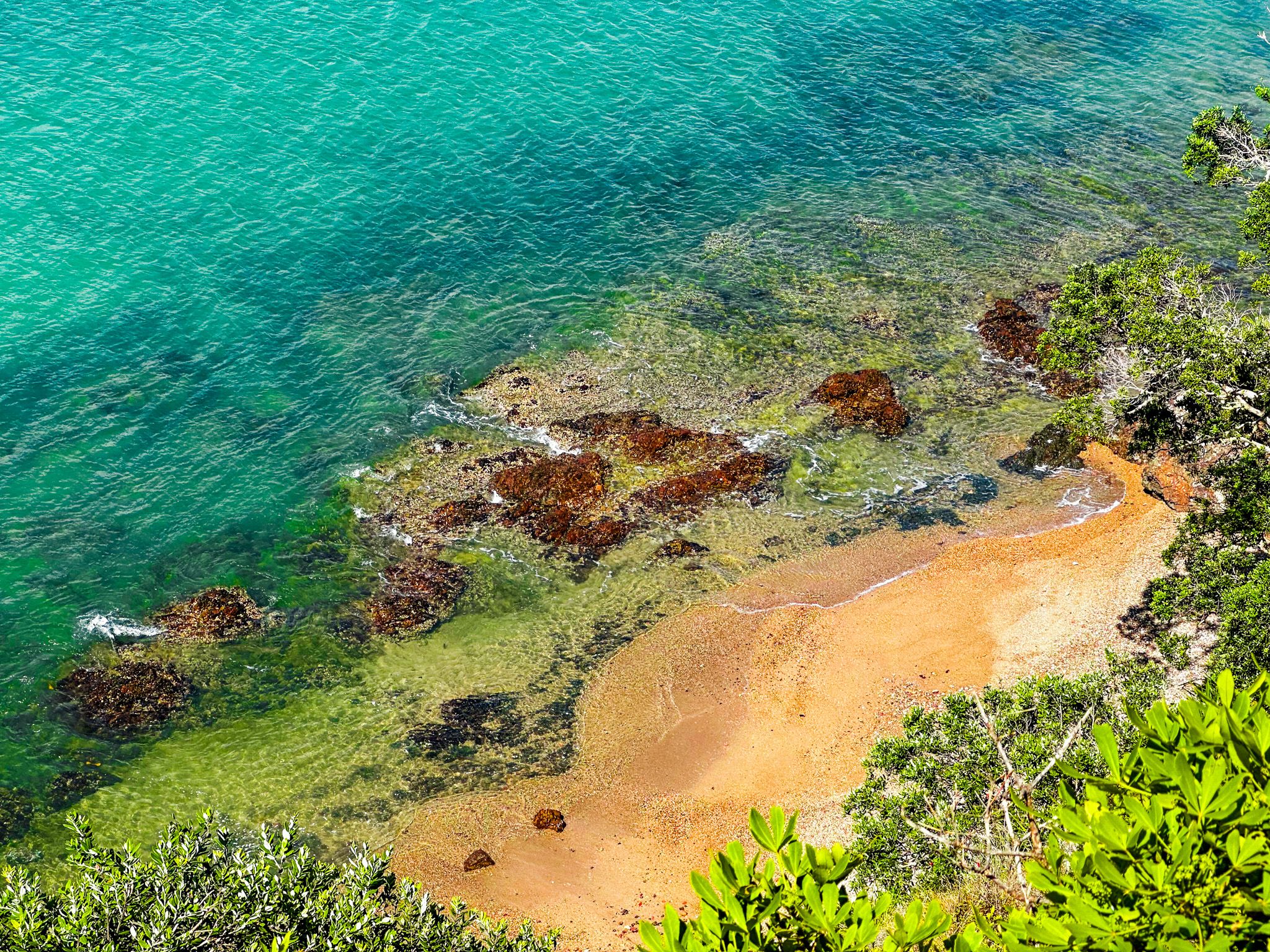
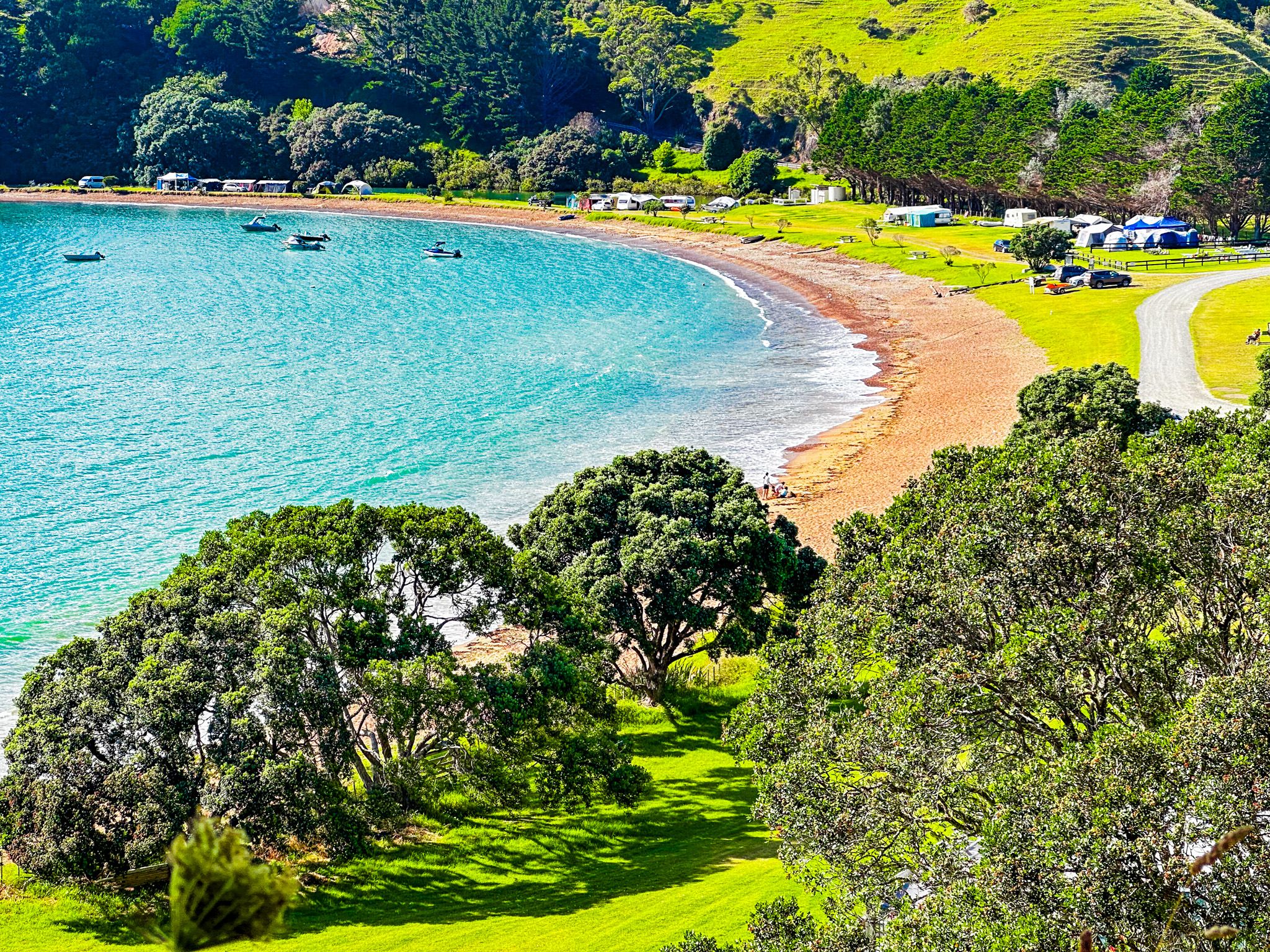
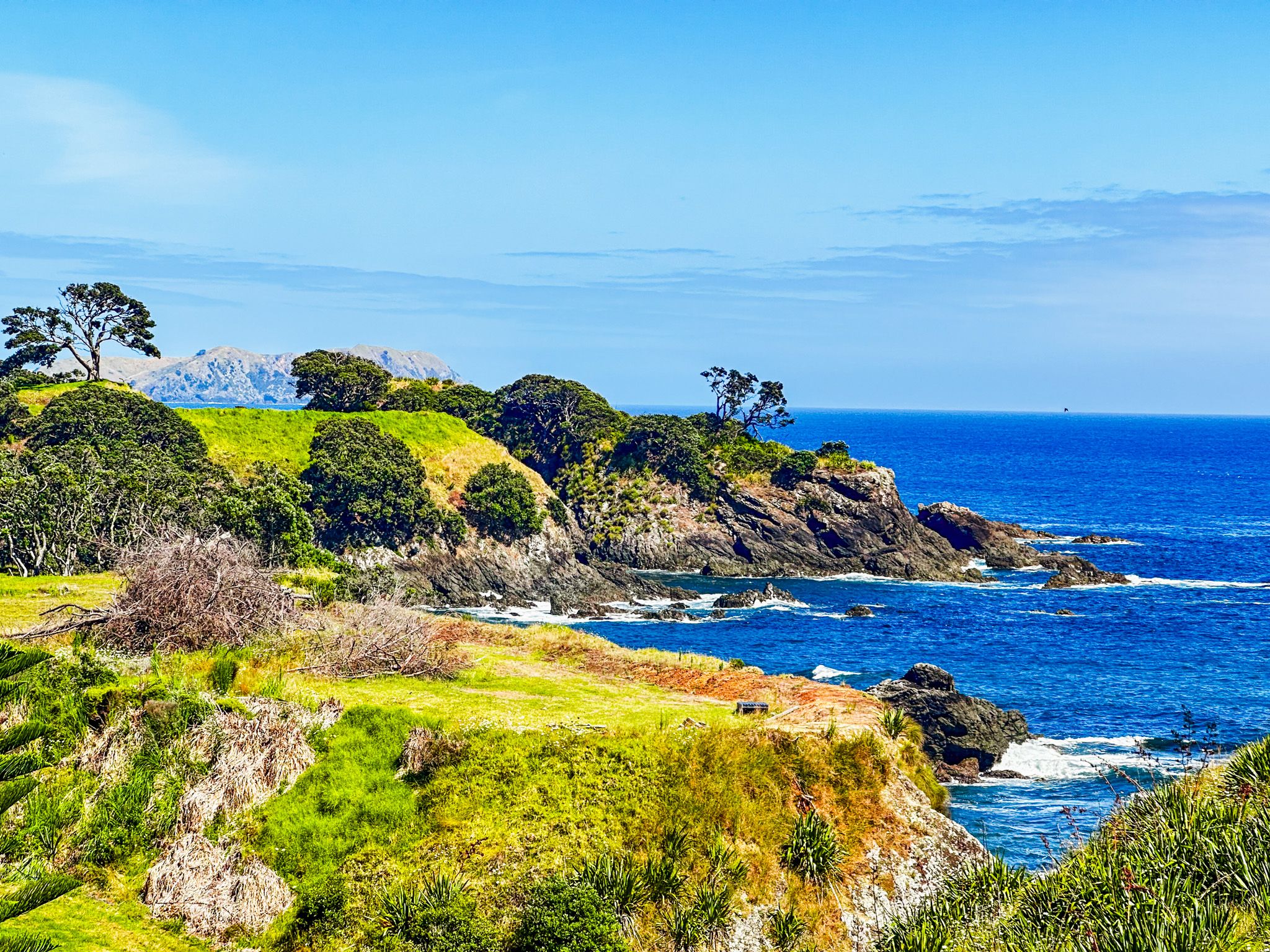
After conquering the first hump, you'll be rewarded with stunning views over the bay. A narrow, flat grassed section follows, flanked by small beaches on either side. The east-facing beach, with its golden sand, looks out over the bay, while the west-facing beach is stony and faces the ocean. The track then ascends a series of steps over a second hump, reaching 78 metres, where you'll find one of the pā sites and a large grassed area with more incredible views.
Continuing past the second hump, the track loops around a third hump, leading you to additional viewpoints and a trig point near the peninsula's tip. From here, you can see the Cavalli Islands, and on a clear day, you might spot Cape Brett to the south and the Karikari Peninsula to the north.
Getting to the Mahinepua Peninsula Track
From State Highway 10, north of Kerikeri in the Bay of Islands, take Matauri Bay Road north to Matauri. There, turn onto Wainui Road, heading northwest until you reach Mahinepua Road to the bay and trailhead. The drive from Kerikeri is 44 minutes and 43 km. From Auckland, the drive is 4 hours and 280 km.
Along Wainui Road, you can also explore Te Ngaere, Tauranga Bay and Whangaroa Harbour.