Discover Maungarei / Mount Wellington
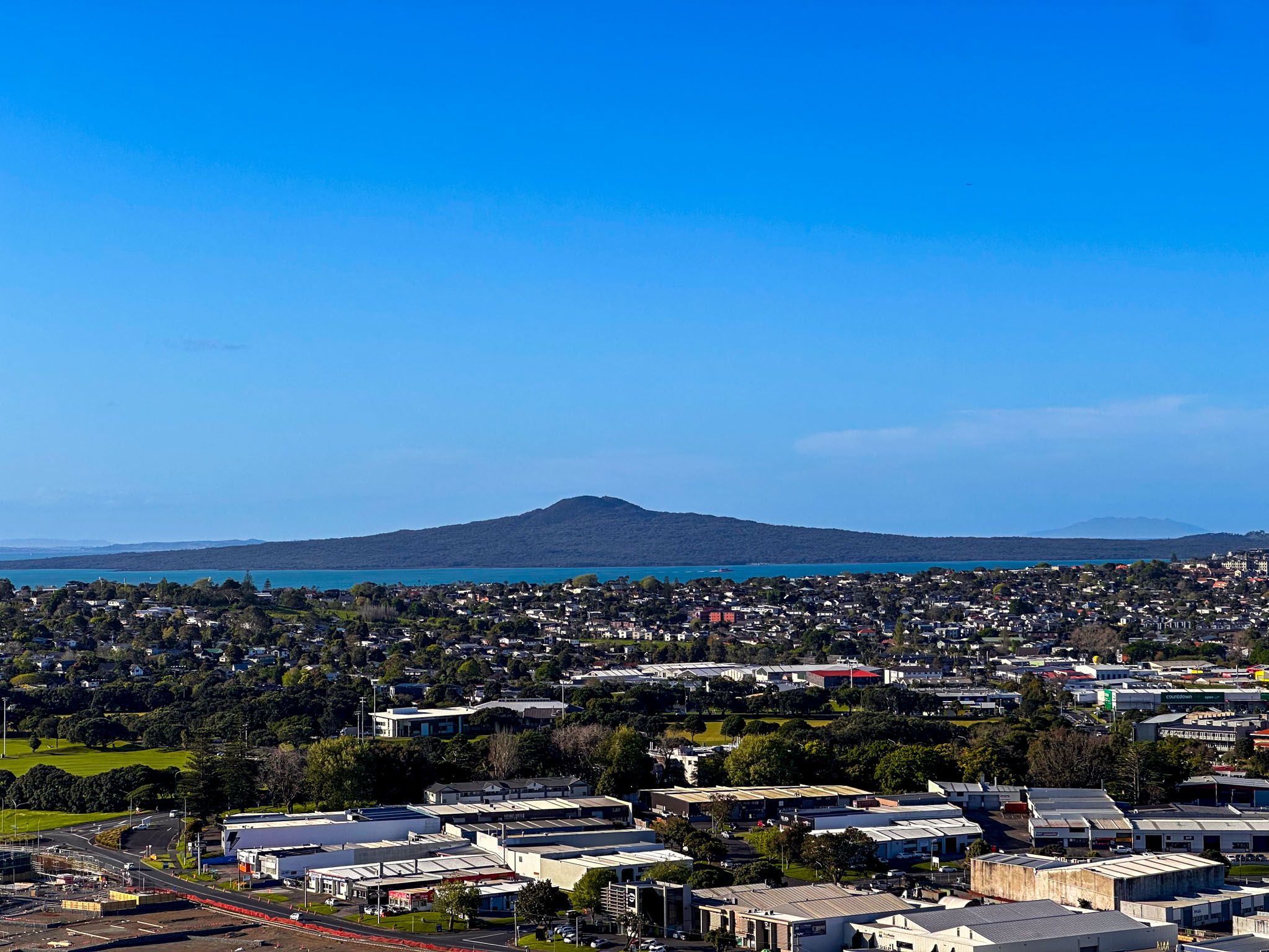
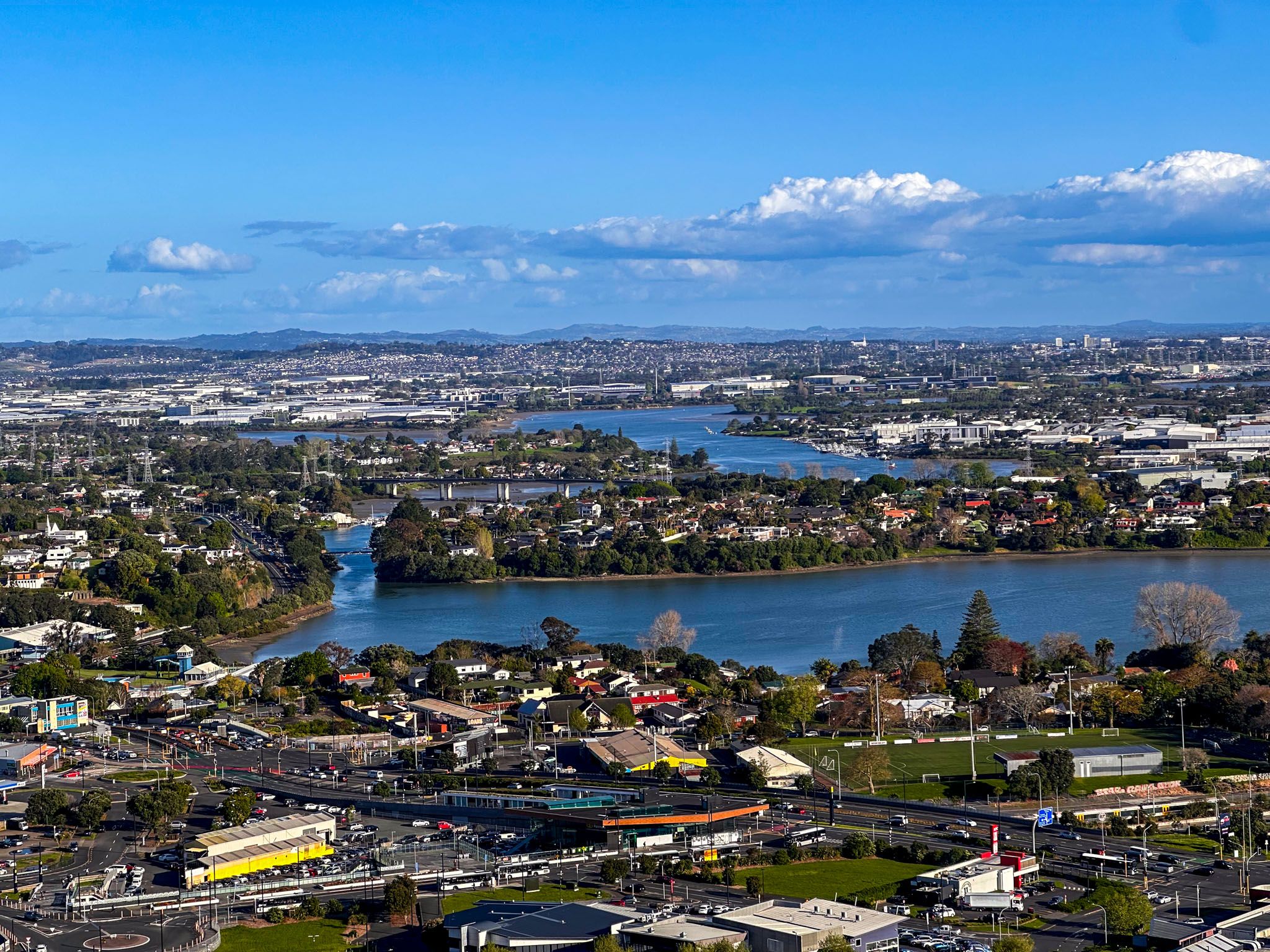
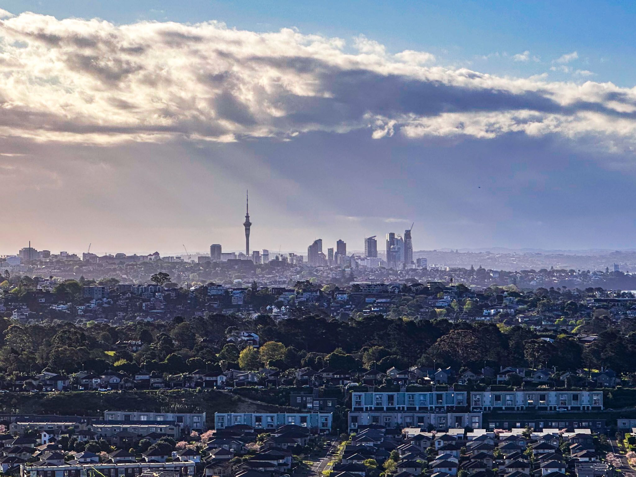
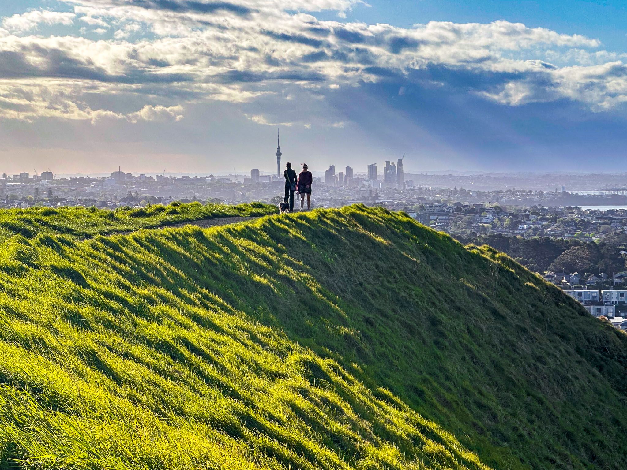
Maungarei / Mount Wellington is a 135-metre volcanic peak located in the suburb of Mount Wellington, on the Tāmaki Isthmus. This maunga provides a unique vantage point over Auckland City, distinct from the views from Maungawhau / Mt Eden and Maungakiekie / One Tree Hill. From the summit, you can see the industrial landscape of the isthmus, the Tāmaki Estuary to the east, Panmure Basin to the south, the Waitematā Harbour and Rangitoto to the north, and Downtown Auckland to the west.
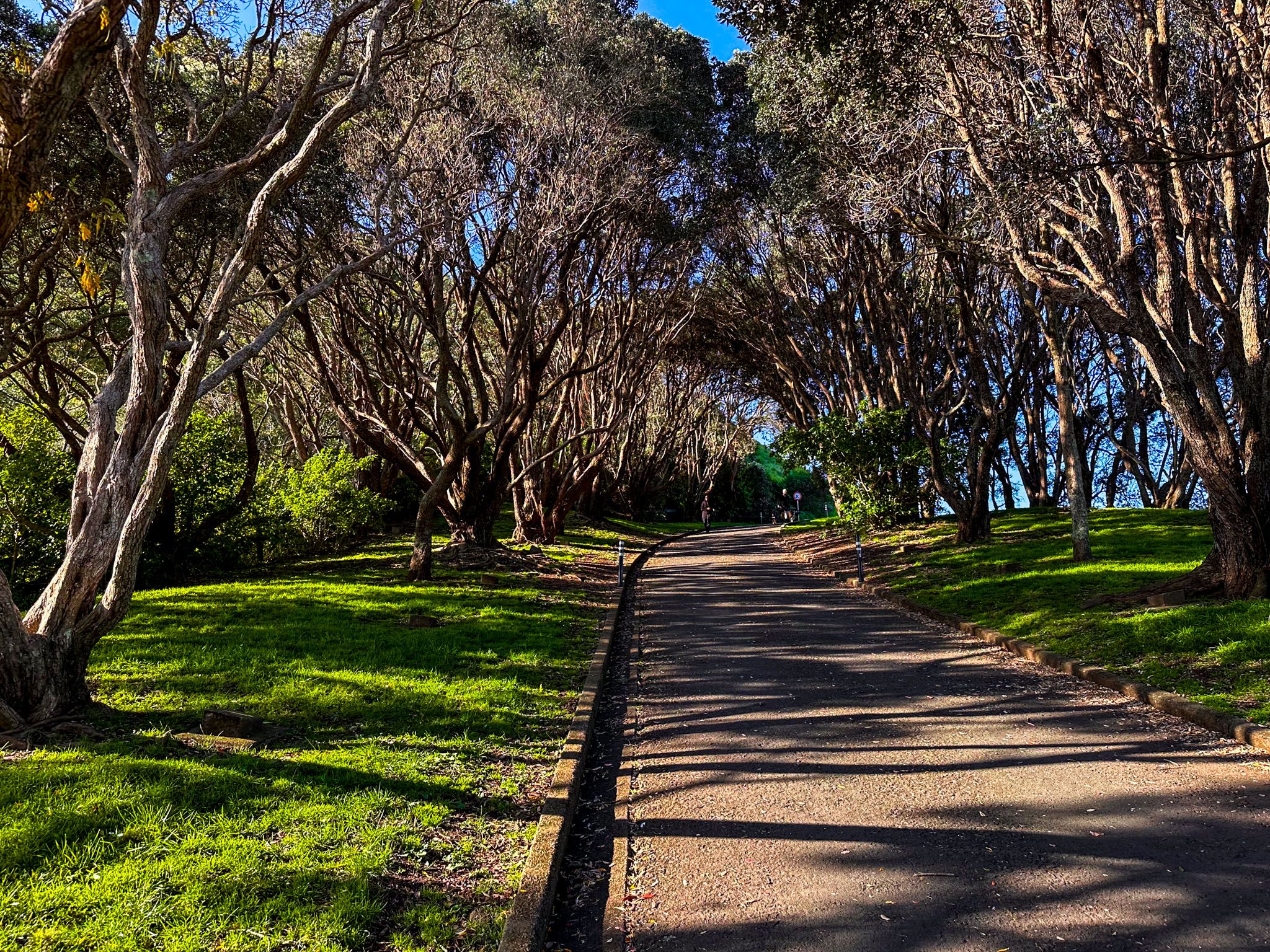
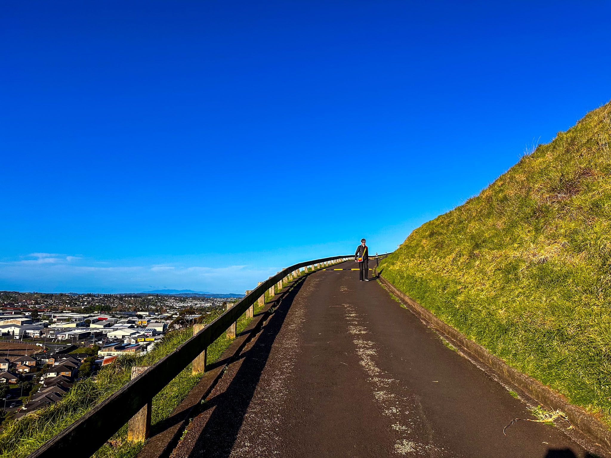
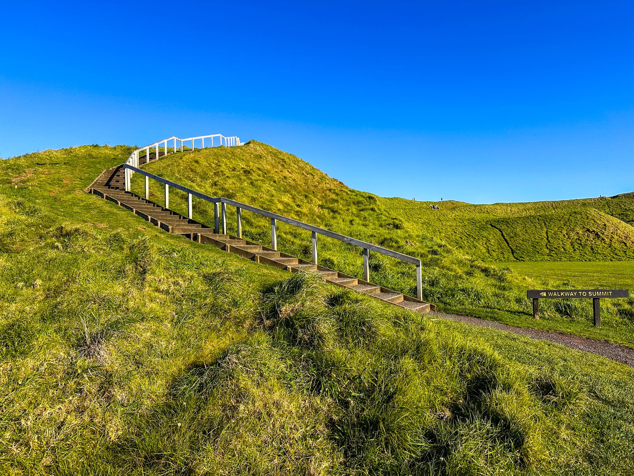
Walking to the Summit
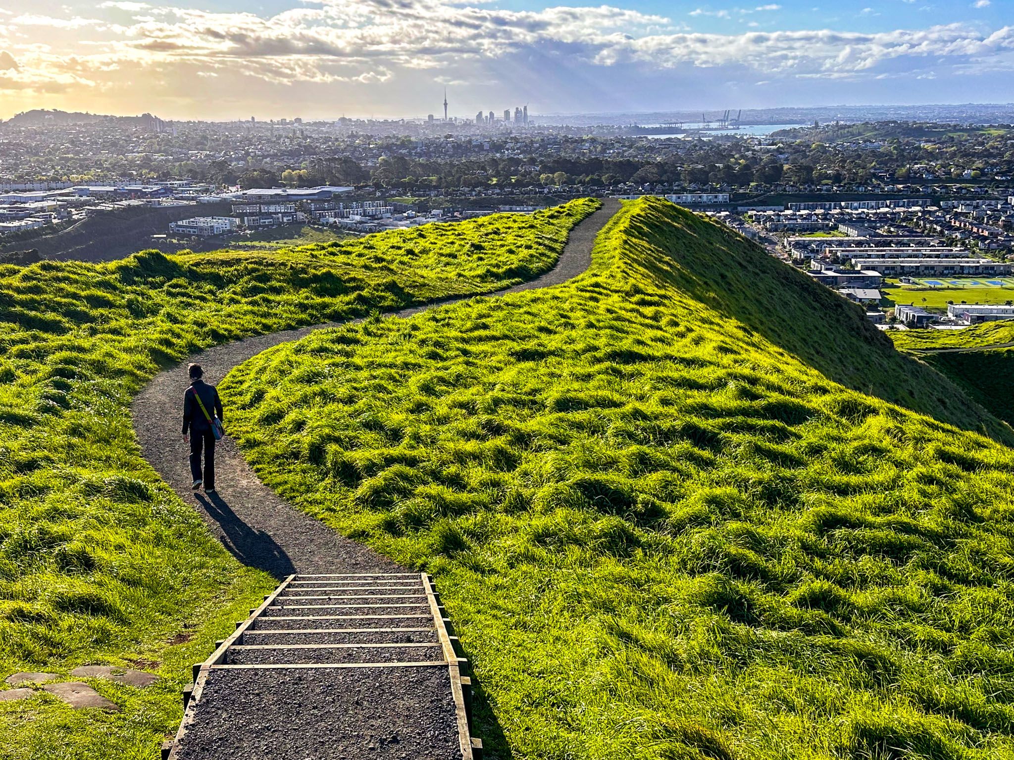
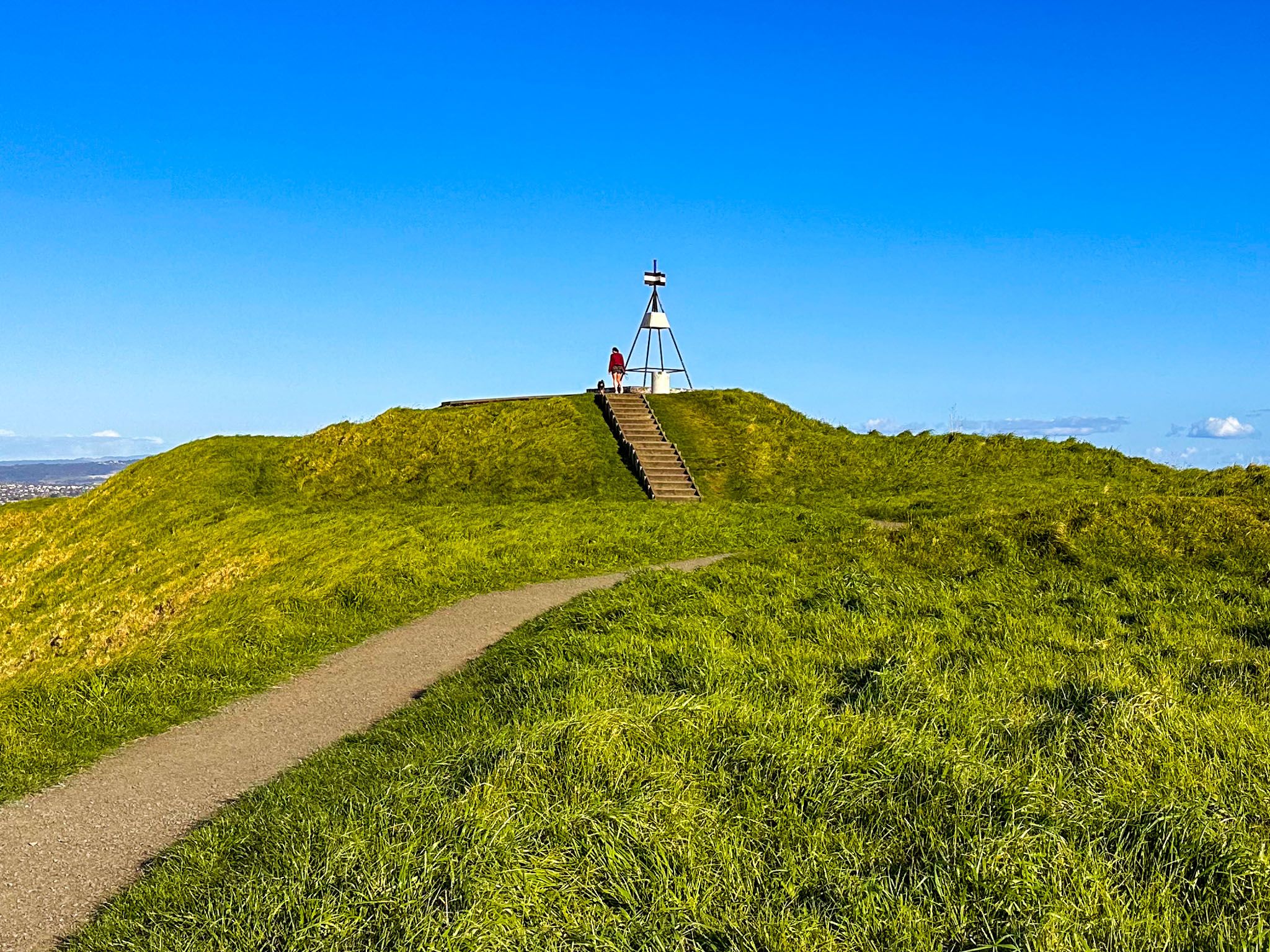
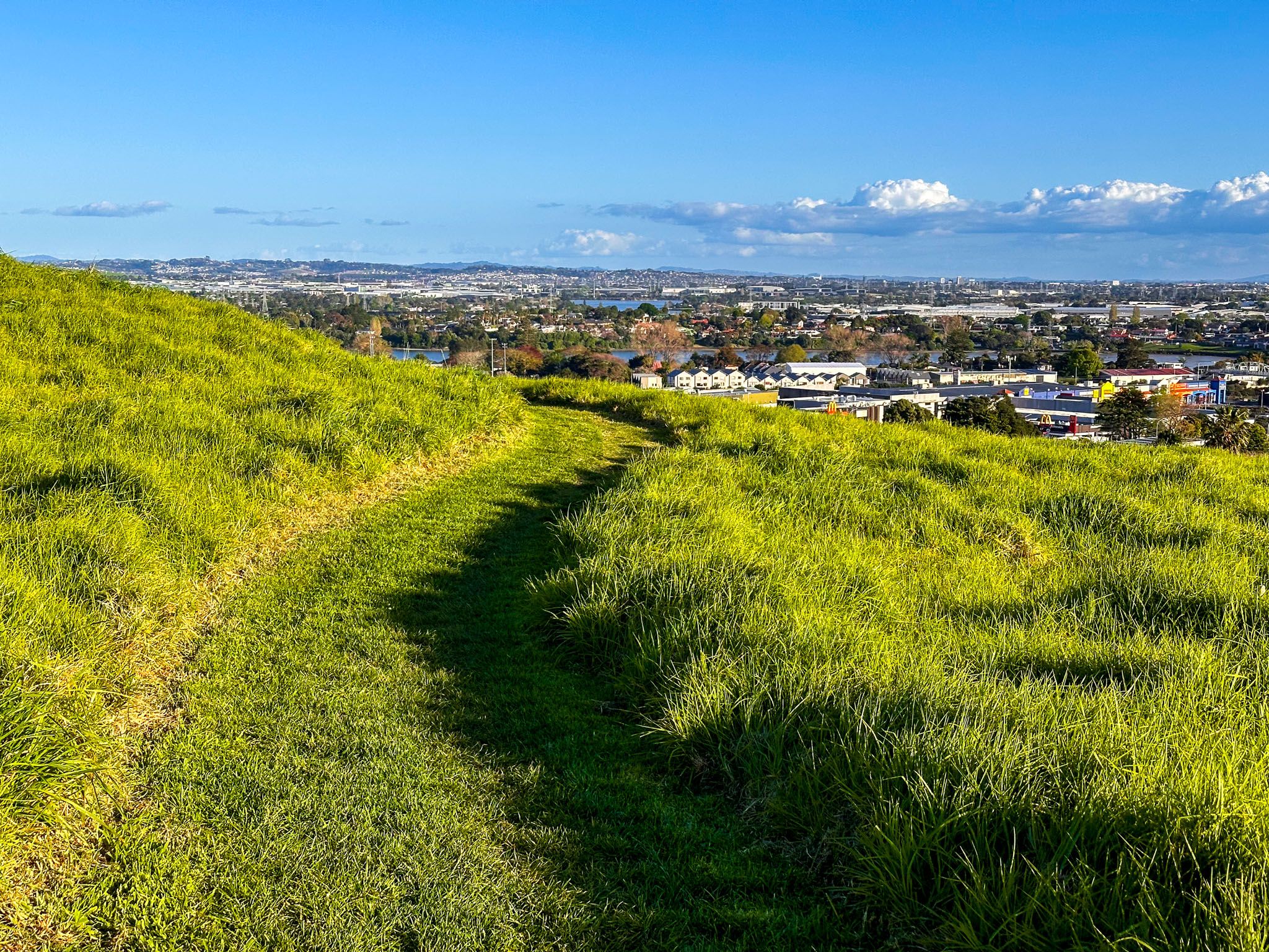
The path to the summit follows the old road, now closed to vehicles, and takes about 10 minutes. The route from Mountain Road is steeper. From the north side, a gravel path with steps loops around the expansive crater rim. The peak, at 135 metres, is on the south side. Completing the loop and returning to the start takes about an hour. You can also extend your walk by accessing the 4km Stonefields Path from Gollan Road.
Geological and Historical Significance
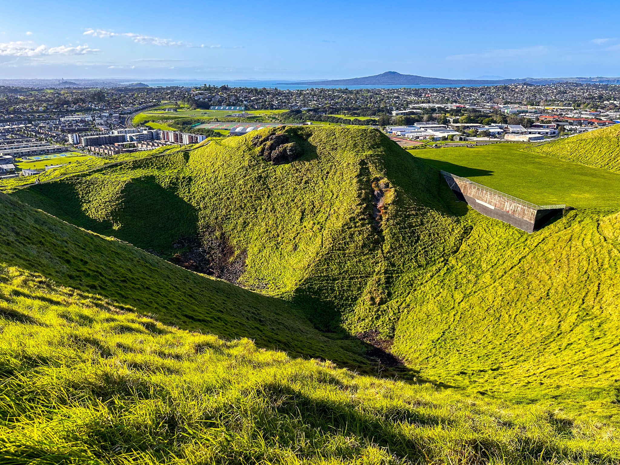
Maungarei is the youngest of Auckland's onshore volcanoes, erupting around 10,000 years ago. Its scoria cone is the largest in the Auckland volcanic field, featuring a near-circular base, a flat rim, and three deep craters. The eruption produced several lava flows, one reaching six kilometres to the Manukau Harbour at Southdown, and another intersecting earlier flows from Mangakiekie and Rarotonga / Mount Smart near Penrose.
The name Maungarei, short for Te Maungarei ā Pōtaka, honours a historic rangatira of Ngāi Tai ki Tāmaki and Te Waiōhua iwi. It is also interpreted as "the watchful mountain" or "the mountain of Reipae". The European name was given by surveyor Felton Mathew, in honour of the Duke of Wellington.
Maungarei was historically a pā, occupied by Māori from at least 1400. The visible terraces and pits date from the mid-1500s to the late 1600s. The pā's strategic location provided natural defensive advantages and access to kaimoana, with rock walls dividing kūmara gardens around the base.
Modern Developments and Management
Following the establishment of Auckland, the surrounding lava flows were extensively quarried for stone aggregates. The quarry on the north side, now Stonefields, once supplied 7% of New Zealand's roading material. Quarrying on the south face ceased in 1967, and pine trees were planted to rehabilitate the area. Today, the maunga is predominantly grass-covered.
In 1963, a 45,100-cubic-metre reservoir was built in one of the craters, which remains the fourth largest in Auckland, supplying water to nearby suburbs such as Glen Innes and Saint Heliers.
In 2014, ownership of Maungarei and 13 other Tūpuna Maunga was transferred to Ngā Mana Whenua o Tāmaki Makaurau as part of a Treaty of Waitangi settlement. The land is held in trust for both Ngā Mana Whenua and the wider Auckland community, co-managed by the Tūpuna Maunga Authority and Auckland Council.
How to Get There
To reach Maungarei, you can access it from the Ellerslie Panmure Highway via Mountain Road on the southeast end, or from Harding and Gollan Road on the southwest end. If using public transport, take a train or bus to Panmure Station and walk north to Mountain Road. From Downtown Auckland, take the southern motorway to the Ellerslie off-ramp. Head east along Ellerslie Panmure Highway to Mountain Road. Turn right and look for a park next to the entrance to the maunga
Other maunga to visit include Maungakiekie / Cornwall Park, Māngere Mountain, Ōwairaka / Mt Albert and Maungawhau / Mt Eden.