Exploring Māngere Mountain
Māngere Mountain, also known as Te Pane-o-Mataaho and Te Ara Pueru, is a prominent volcanic cone located in the suburb of Māngere Bridge, in southern Auckland. As you travel from the airport towards Downtown Auckland, this grass-covered maunga stands out on the west side of the motorway.
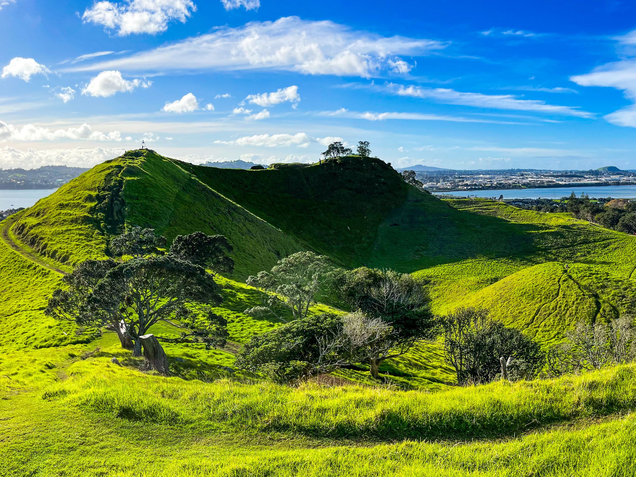
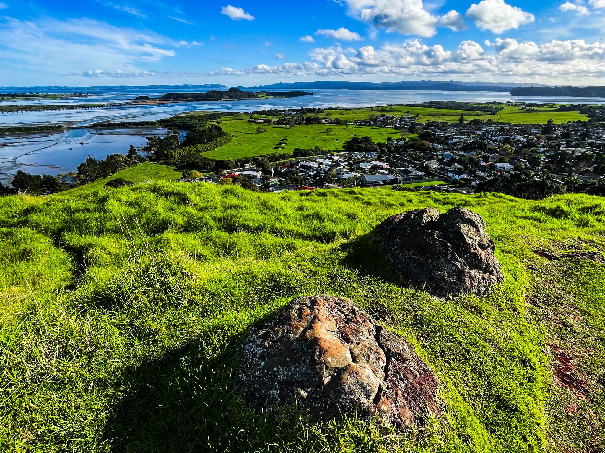
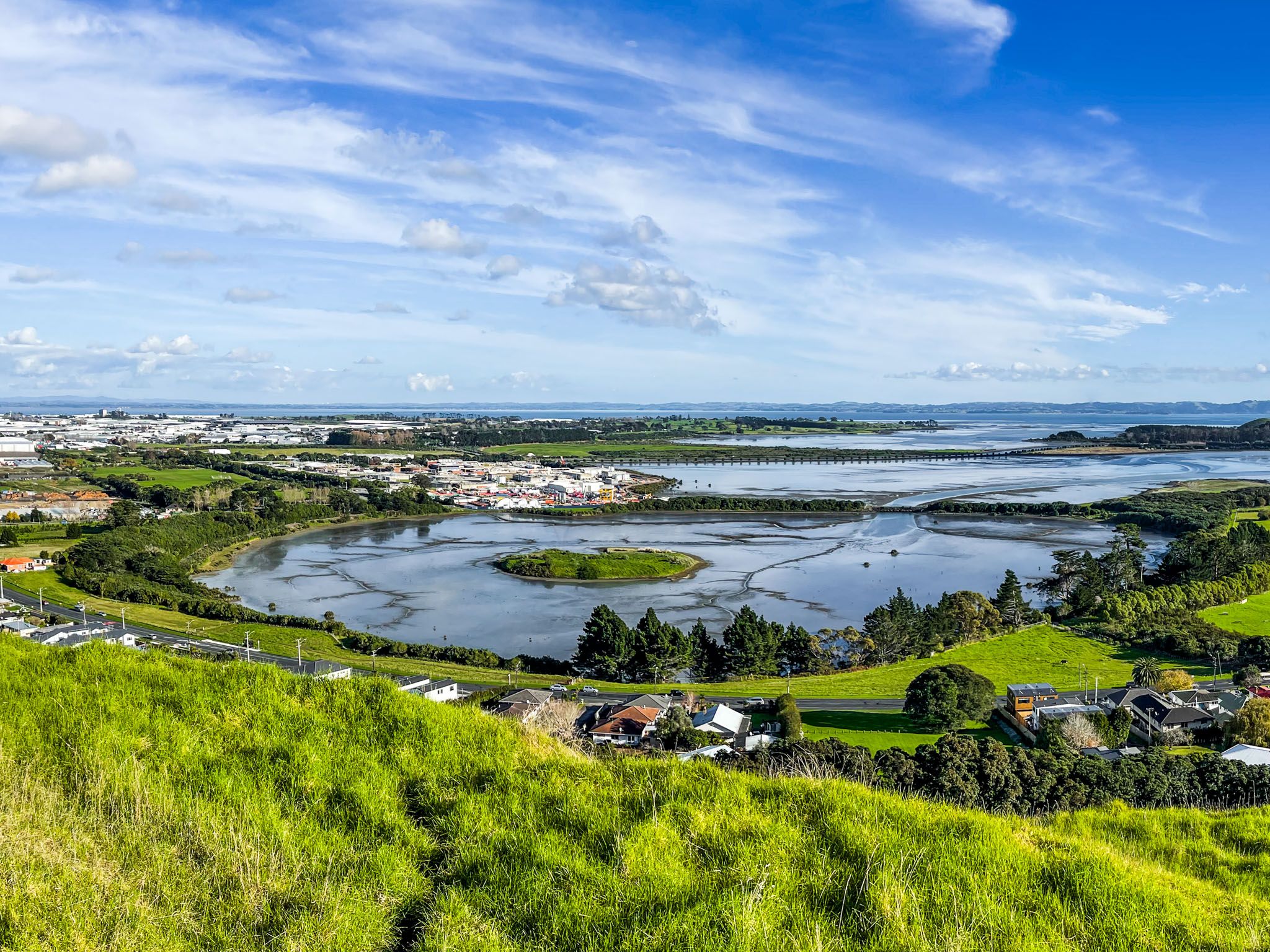
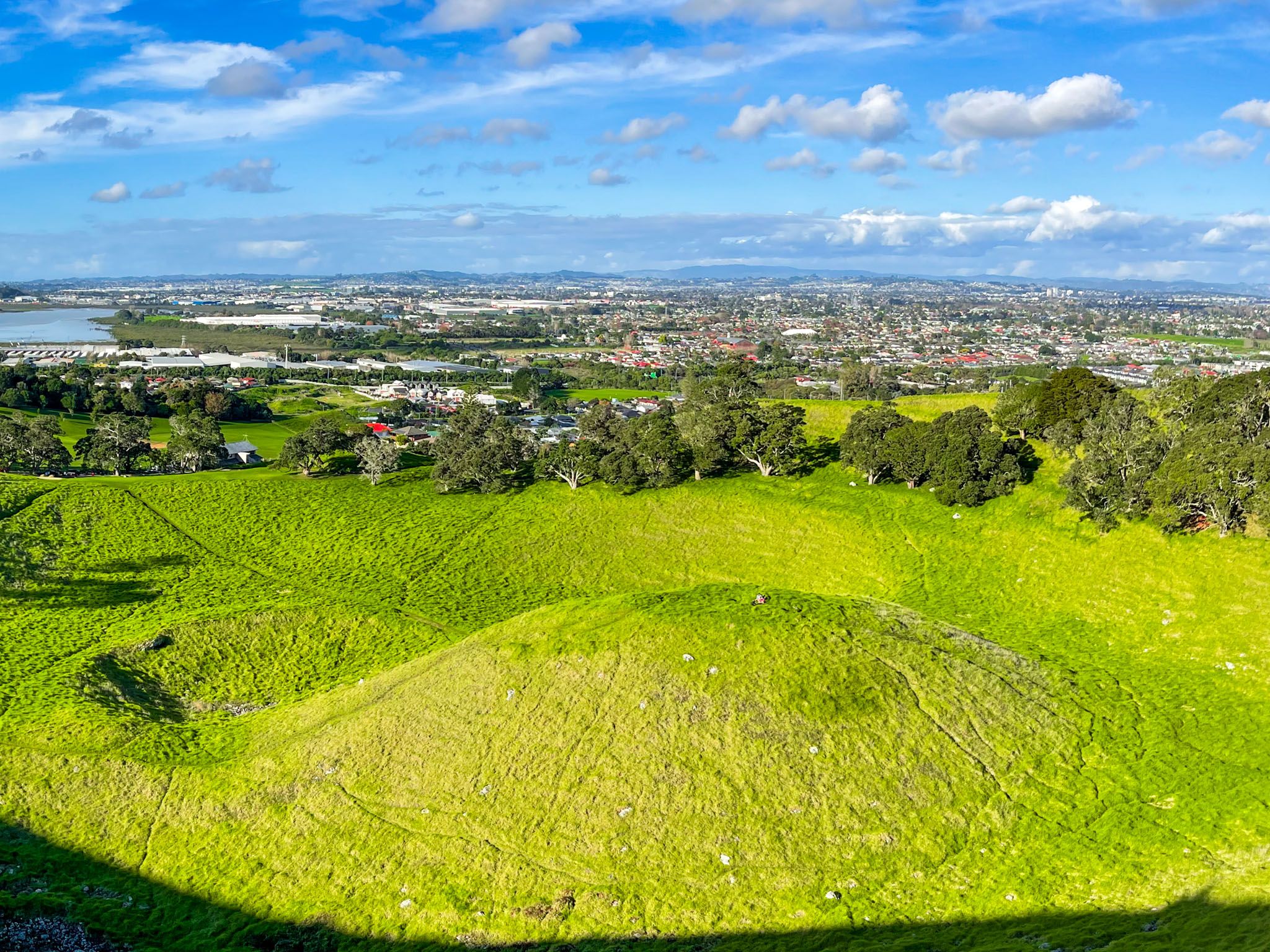
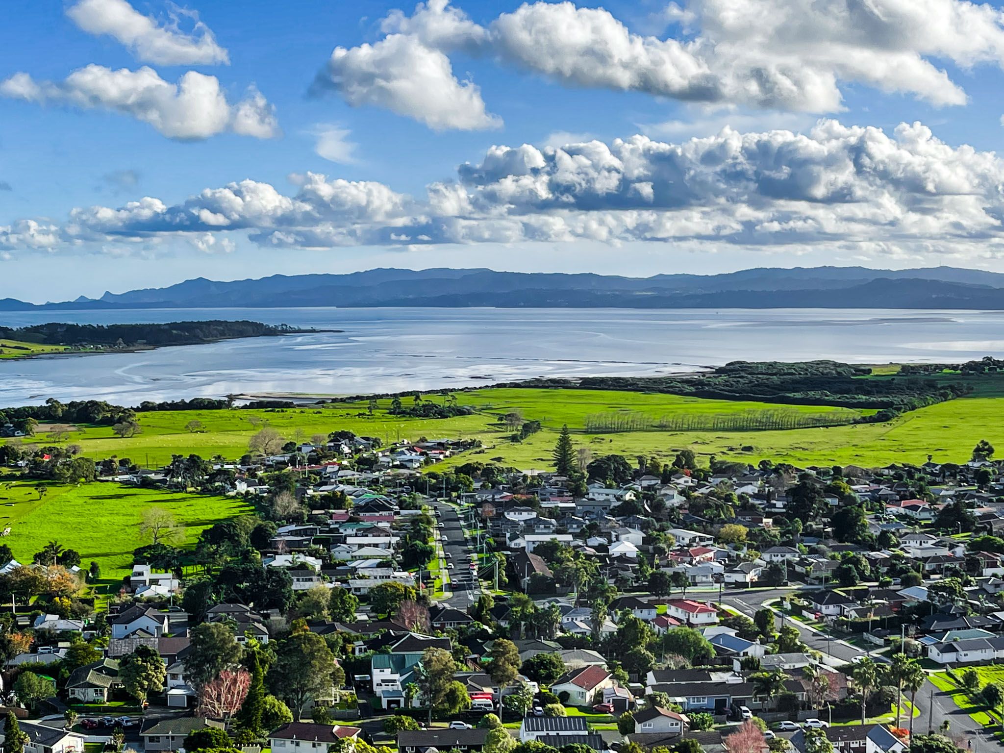
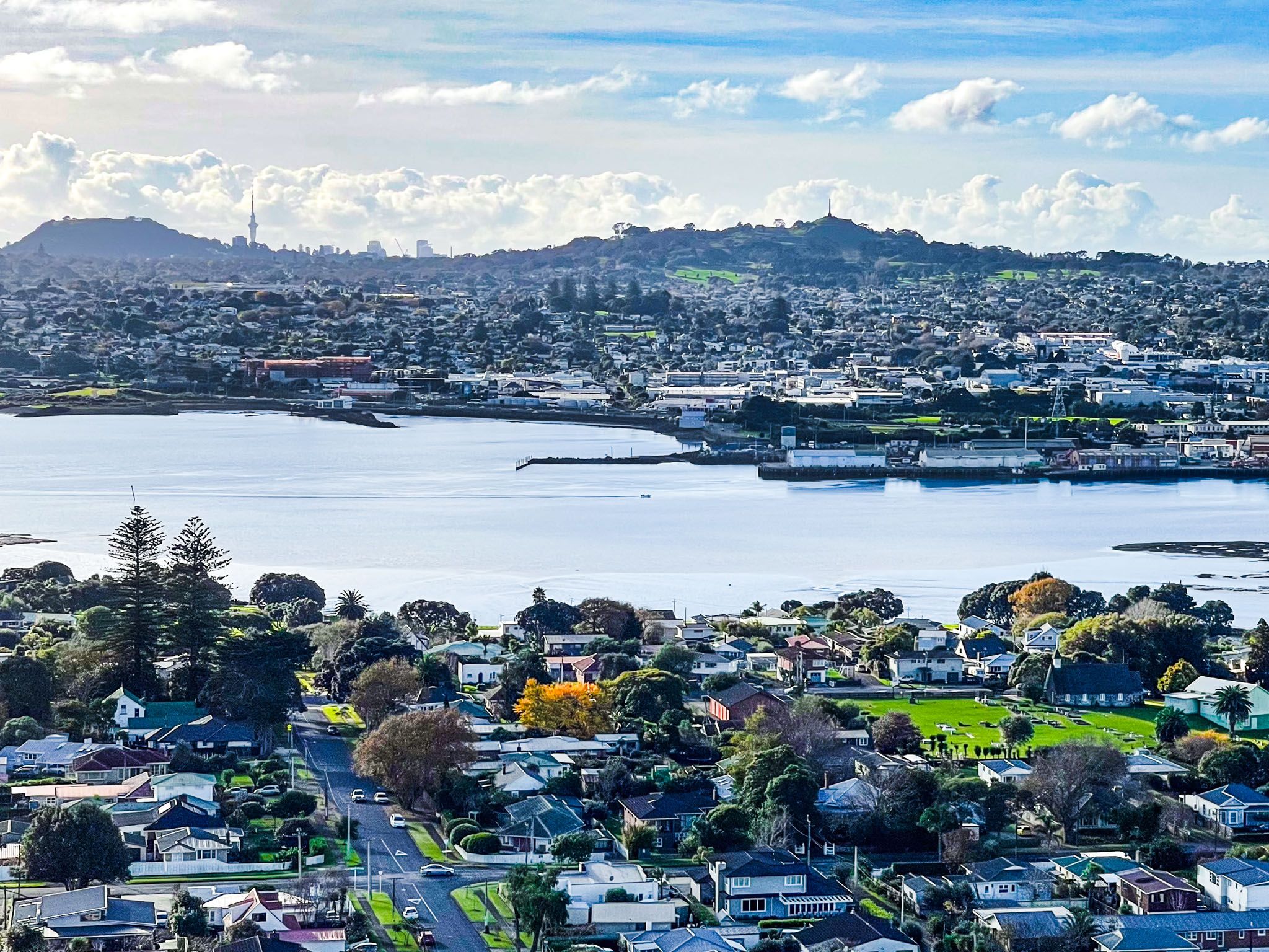
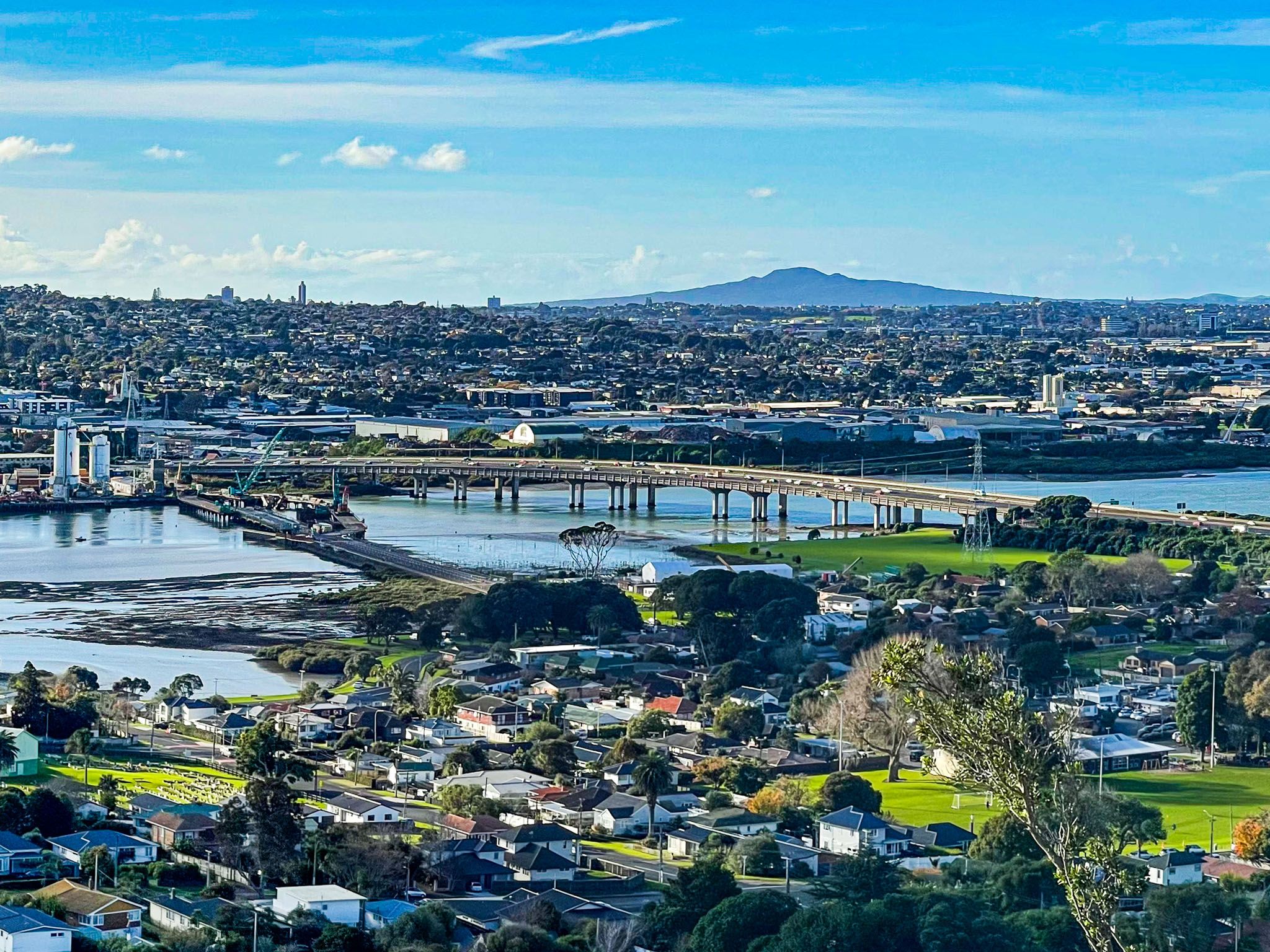
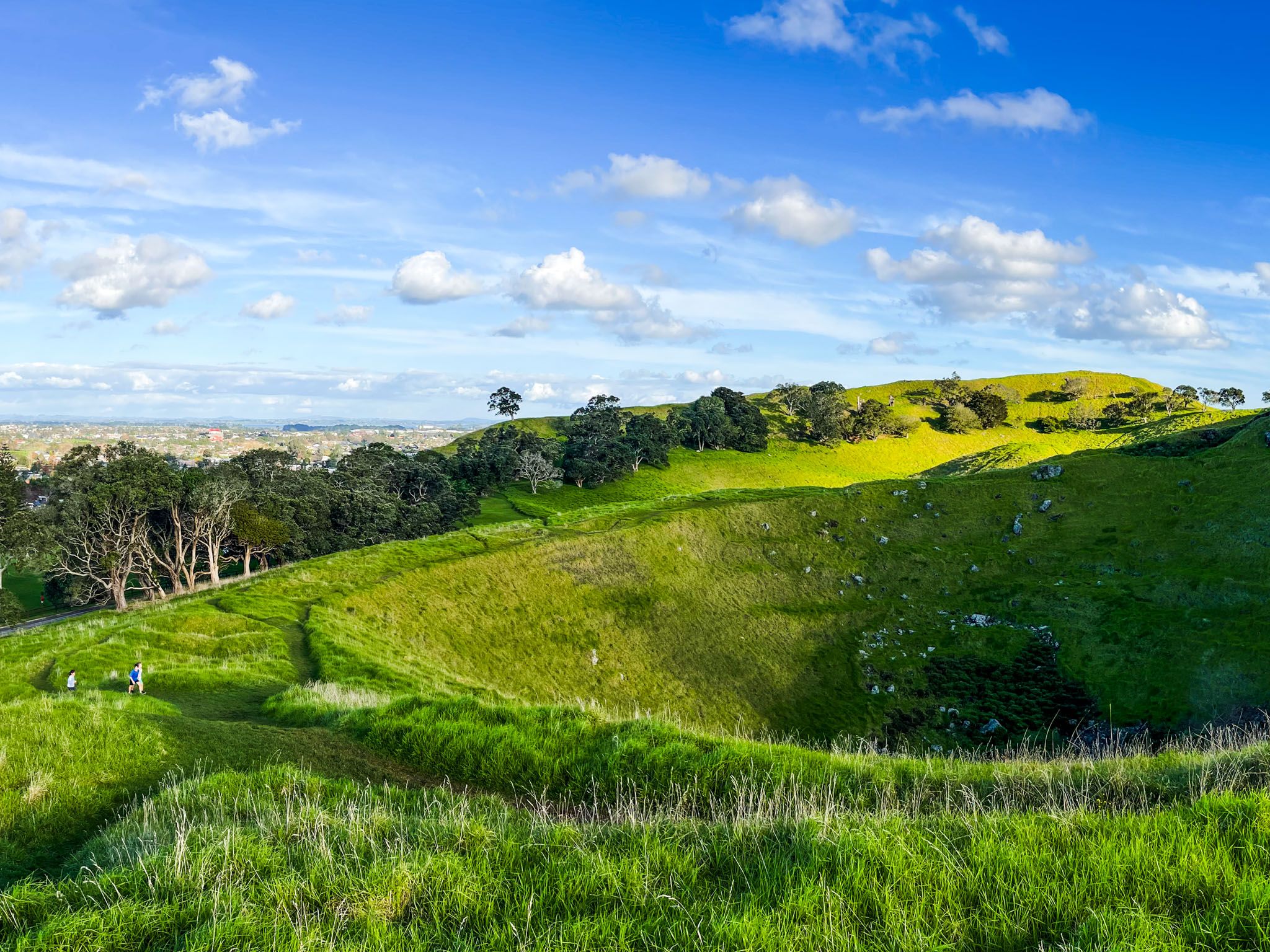
It is one of the best-preserved volcanic cones in the Tāmaki Makaurau volcanic field, rising to 106 metres. A walk around its crater offers sweeping views of South Auckland and the Manukau Harbour.
Geological Features and Formation
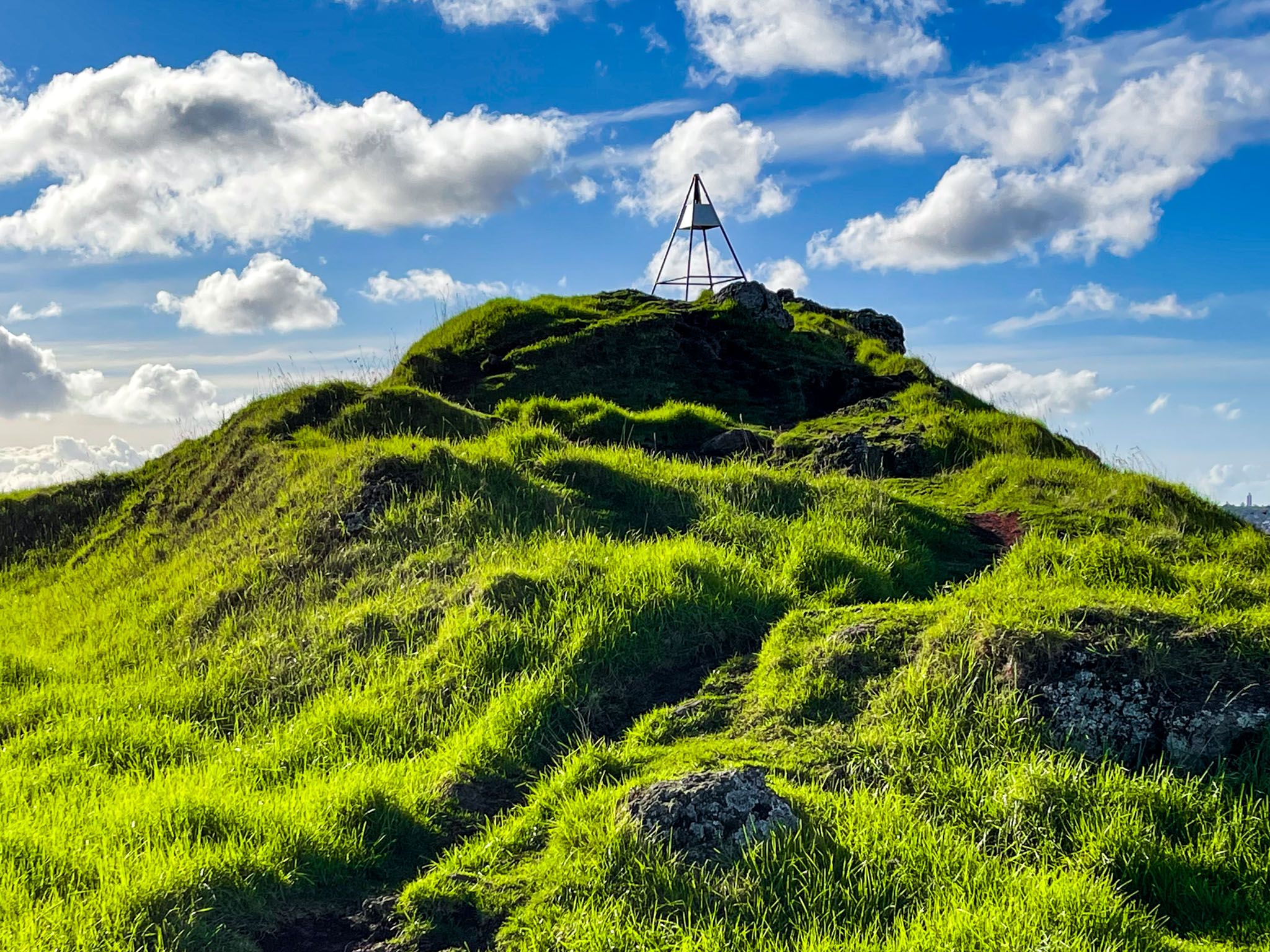
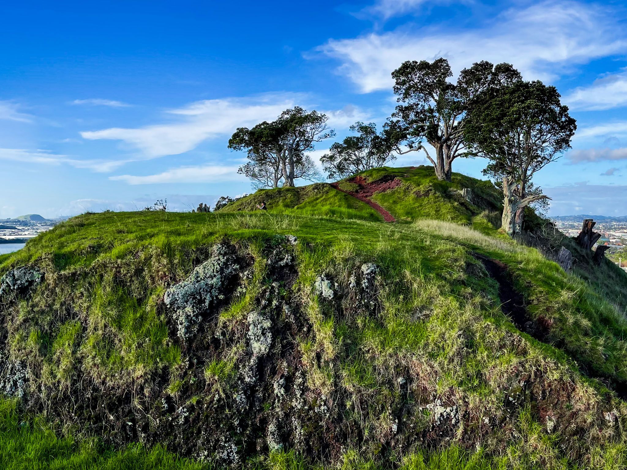
Māngere Mountain was formed by a volcanic eruption approximately 50,000 years ago. It features a large main crater, a smaller secondary crater, and a central lava dome known as a tholoid, a 12-metre basalt plug that emerged during the eruption.
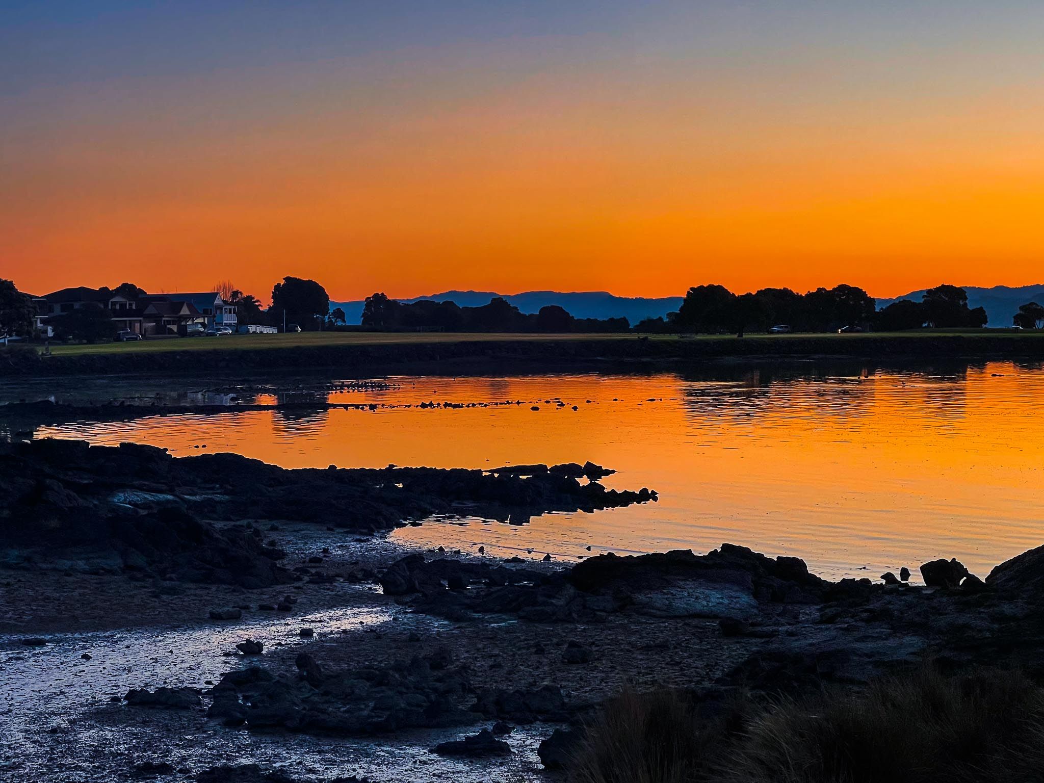
The lava flows from this eruption covered 500 hectares, shaping the landscape of Māngere Bridge and parts of Māngere Lagoon, which is a separate crater that formed around 60,000 years ago.
Cultural Significance and History
The mountain bears multiple Māori names, each with its own meaning. Māngere, meaning idle breezes, refers to the shelter from the wind provided by the mountain, a name given by Taikehu, a Tainui iwi rangatira. Te Pane-o-Mataaho is named after the volcano deity Mataaho, the guardian of secrets within the earth. Te Ara Pueru, meaning the “dogskin cloak path,” refers to a historical event in which Ngāti Whātua warriors used dogskin cloaks to tread lightly across pipi shells around the maunga's base, enabling a surprise attack at dawn.
Māngere Mountain has been occupied since the 1300s, with its fertile slopes used for kūmara gardens by the 1400s. By the 1700s, it was a significant pā site for Te Waiohua, with terraced slopes and numerous food storage pits still visible today. The pā was overtaken in the mid-1700s by Ngāti Whātua, who later settled the area.
During the Musket Wars in the 1820s, Ngāti Whātua were displaced by a Ngāpui invasion. Peace was eventually restored through marriage alliances, and in the late 1840s, Governor George Grey invited Te Wherowhero and his hapu to settle around Māngere Mountain to provide stability for Auckland.
Impact of Development and Restoration Efforts
Despite being designated a public reserve in 1890, Māngere Mountain has been affected by urban development. Quarrying removed parts of its northern and eastern slopes, transforming these areas into recreational spaces like bowling greens and sports fields. In 1932, a water reservoir was added to the summit.
The Māngere Mountain Education Centre was established in 1995, and in 2014, ownership of the maunga was returned to mana whenua through the Tūpuna Maunga Authority. Restoration efforts have included upgrading paths, planting native species, and removing old exotic pines. The lower slopes now feature a whānau ātea, a kī-o-rahi field, and a skink habitat.
Accessing the Maunga
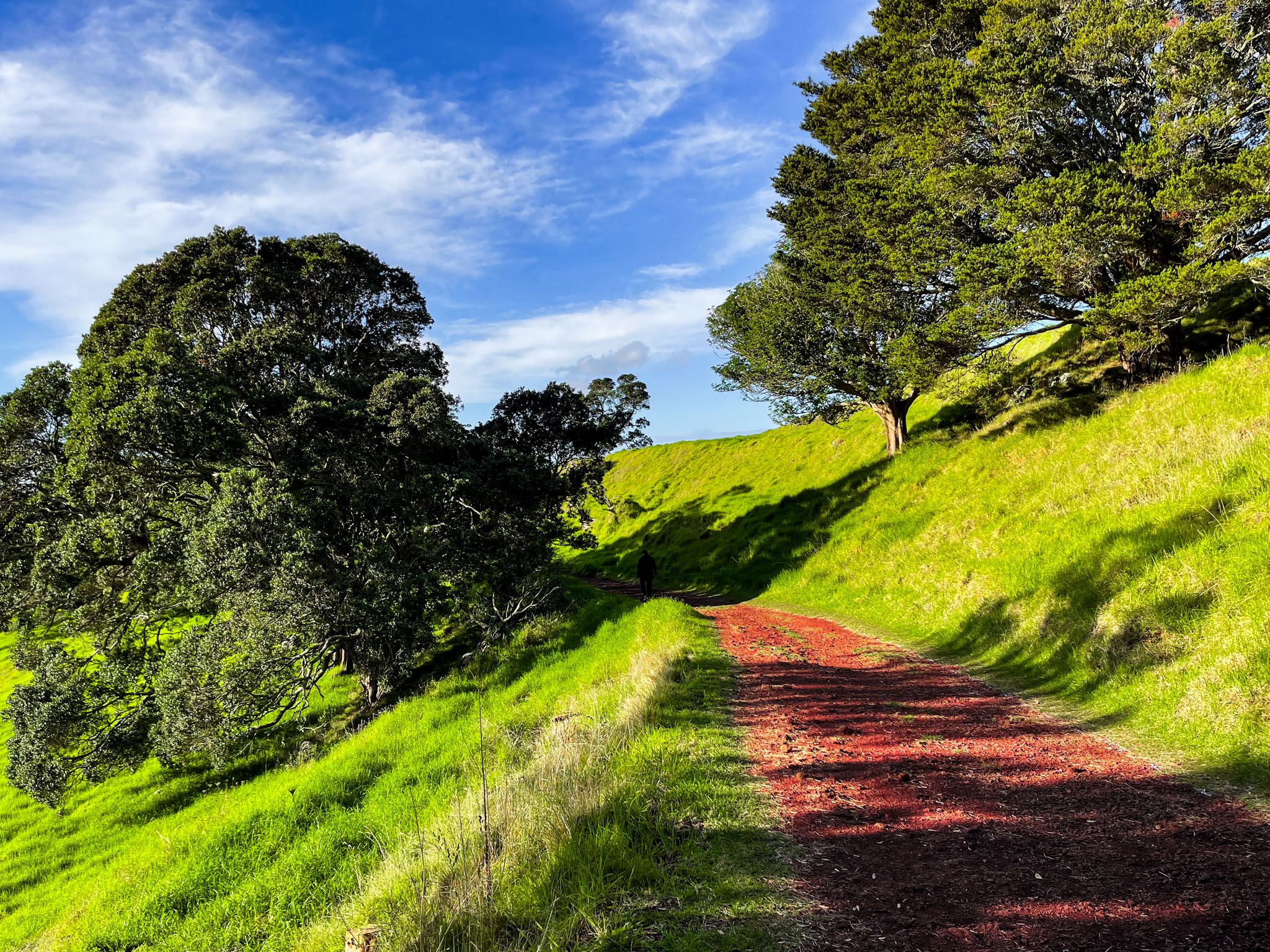
To visit Māngere Mountain, you can access it on foot via Domain Road or Coronation Road in Māngere Bridge. Allow approximately 45 minutes to walk the tracks around the crater ridge up to the tihi (peak) and back.
How to Get There
The site is about a 25-minute drive from Auckland's city centre, and public transport options are available. From Downtown, take the western then the eastern motorway towards Mangere Bridge. Take the Mahunga Drive off-ramp and turn west for one block, then turn south on Crawford Avenue. Follow this road to Hastie Avenue, then turn west. This takes you to Domain Road, where you can park near the entrance.
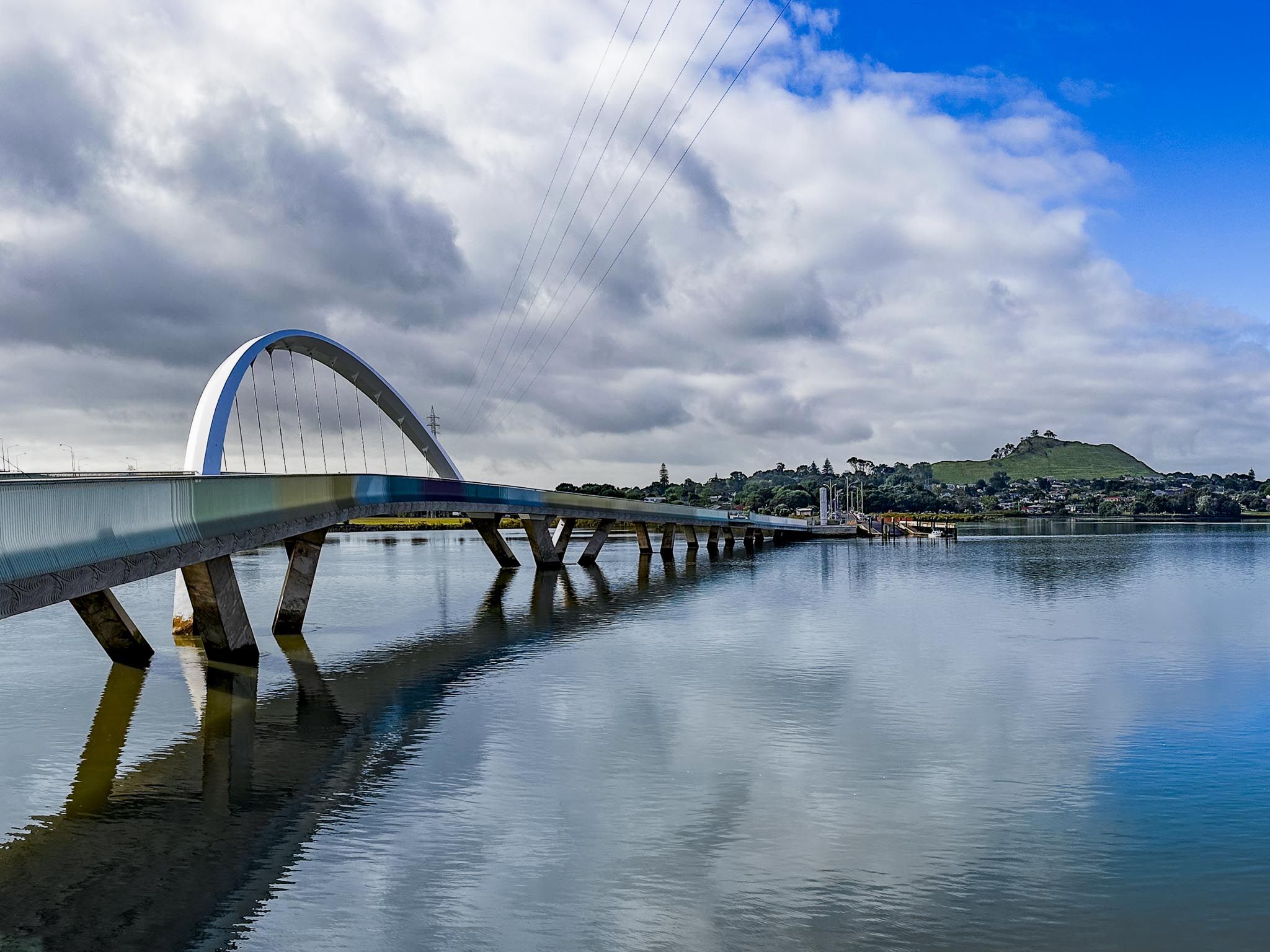
Nearby, you can explore Ngā Hau Māngere Bridge, Kiwi Esplanade, continuing south on Watercare Coastal Walkway to Māngere Lagoon, Puketutu Island and Ōtuataua Stonefields.