A Tapu Peninsula in Akaroa Harbour
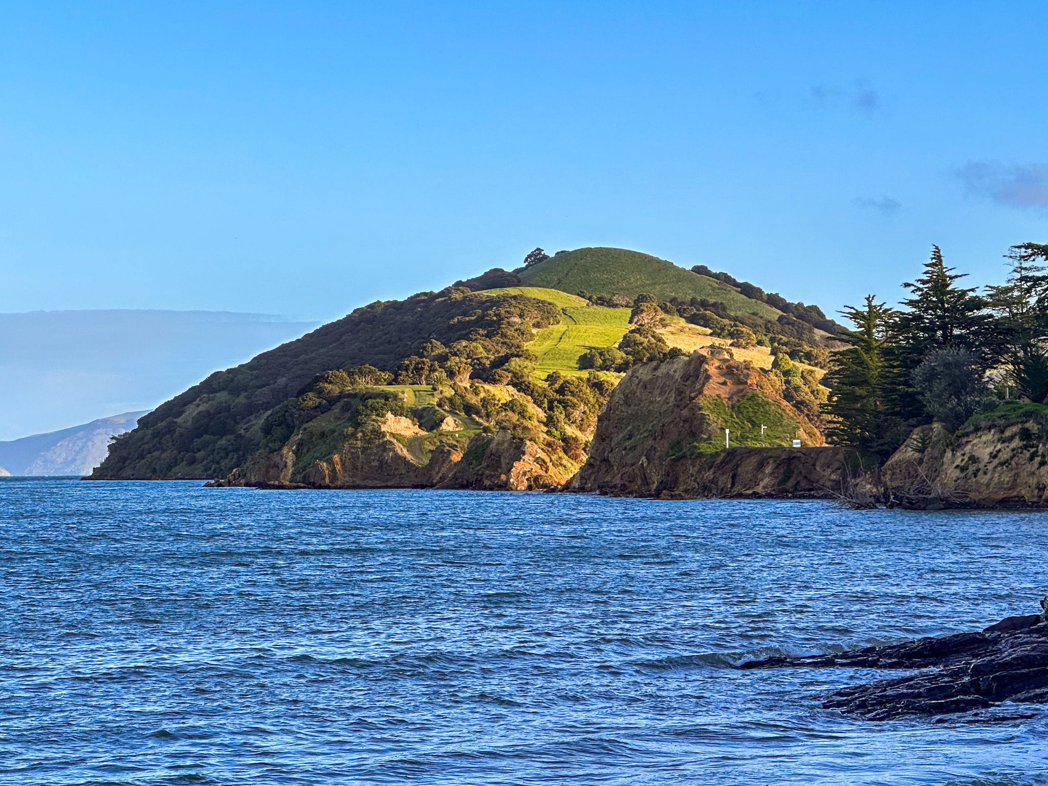
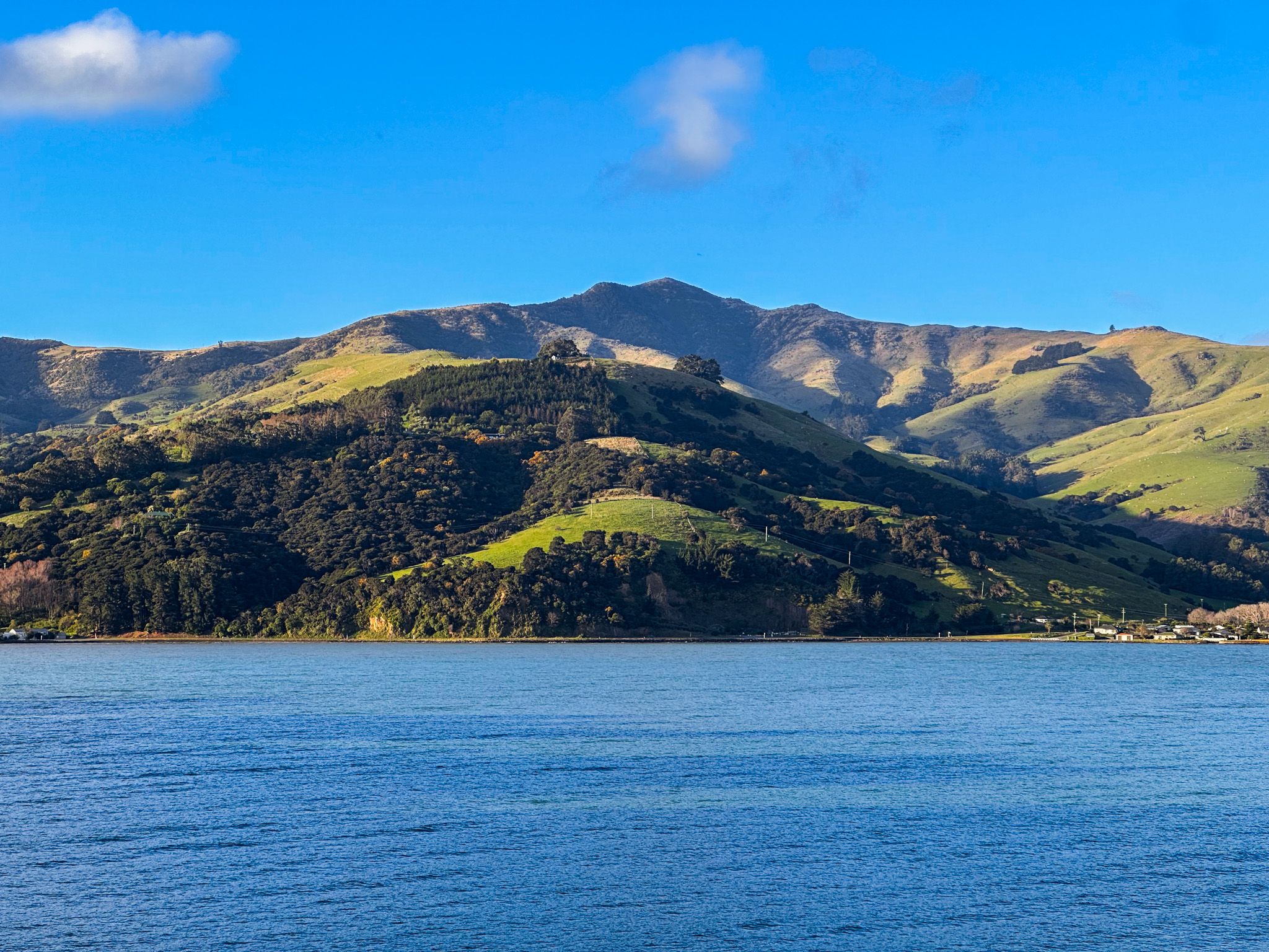
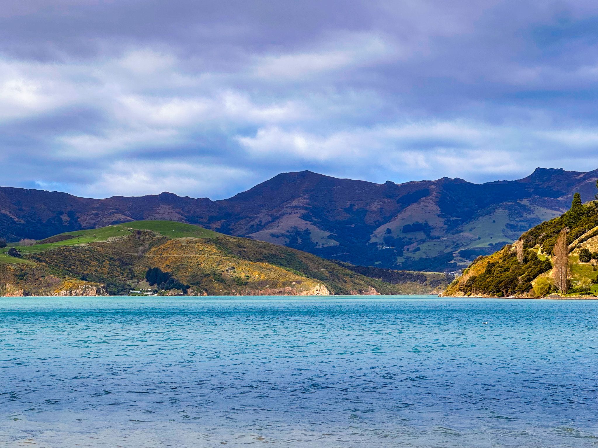
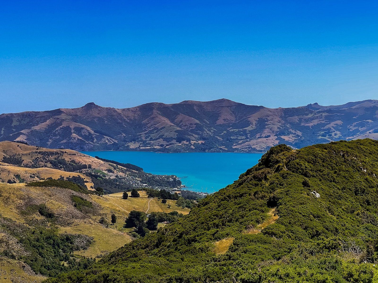
Ōnawe, which means the "place set on fire", is a narrow volcanic peninsula that juts into the head of Akaroa Harbour between Barrys Bay and Duvauchelle, off State Highway 75 on Banks Peninsula. From Summit Road on the crater rim, its teardrop shape is one of the most distinctive features of the landscape. At low tide, a short walk out onto the peninsula takes you to the site of a Ngāi Tahu pā whose history is among the most significant and sobering in the Canterbury region.
The Geology of Ōnawe
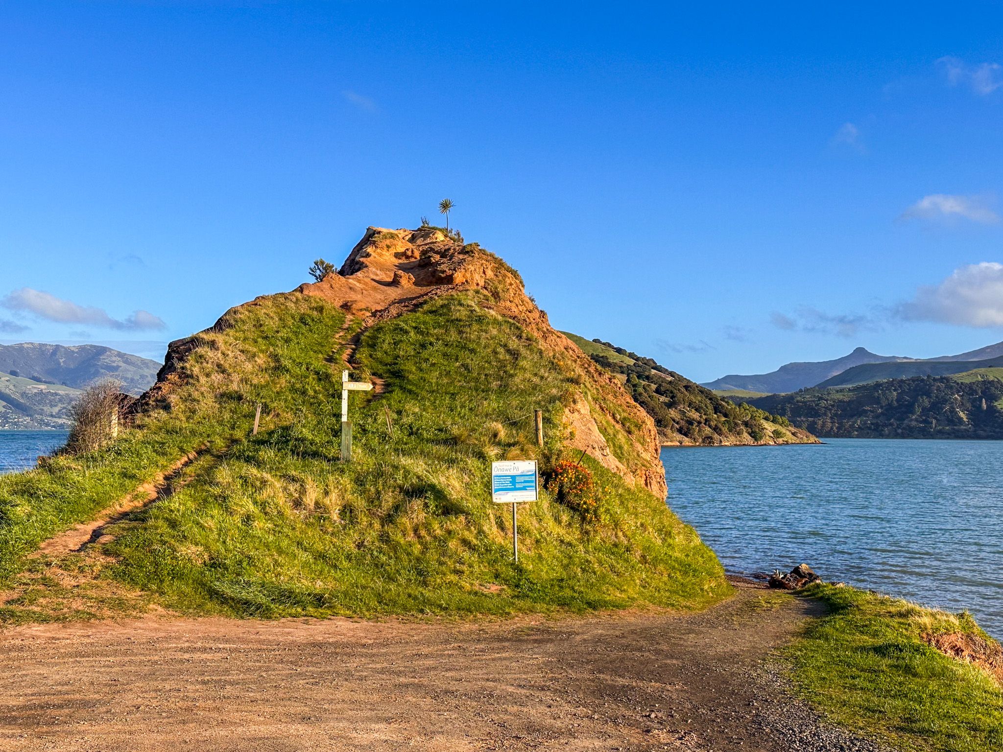
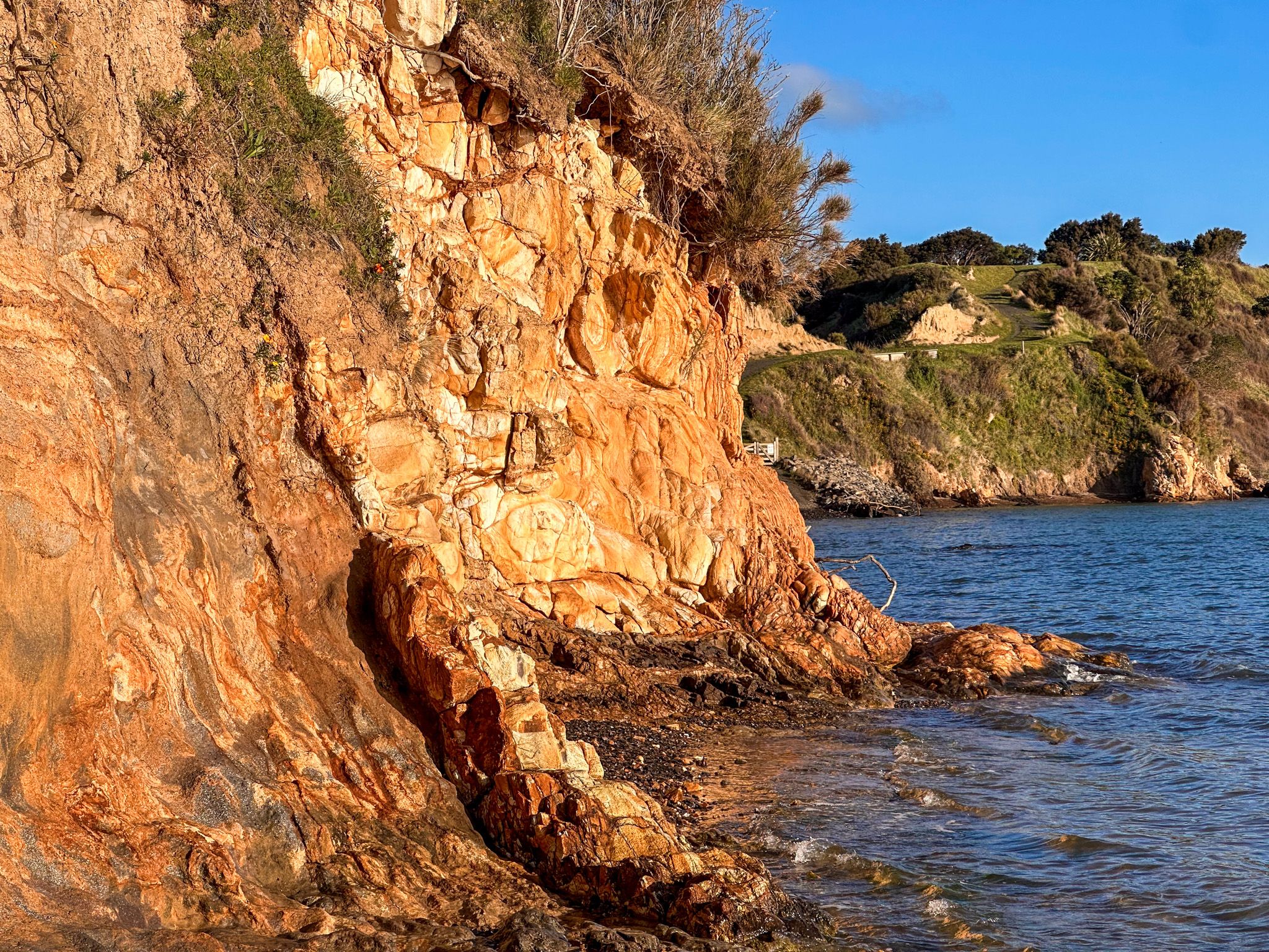
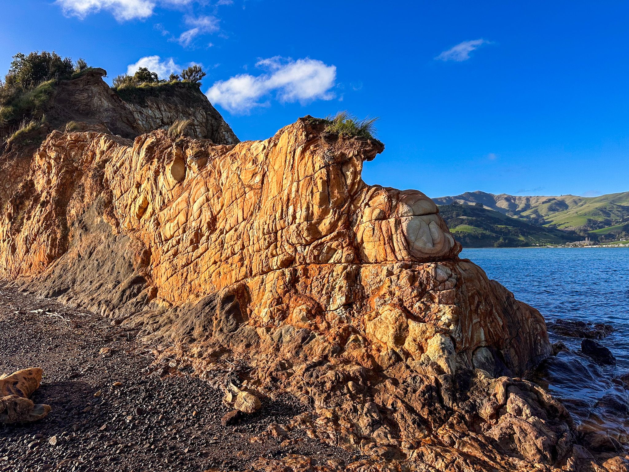
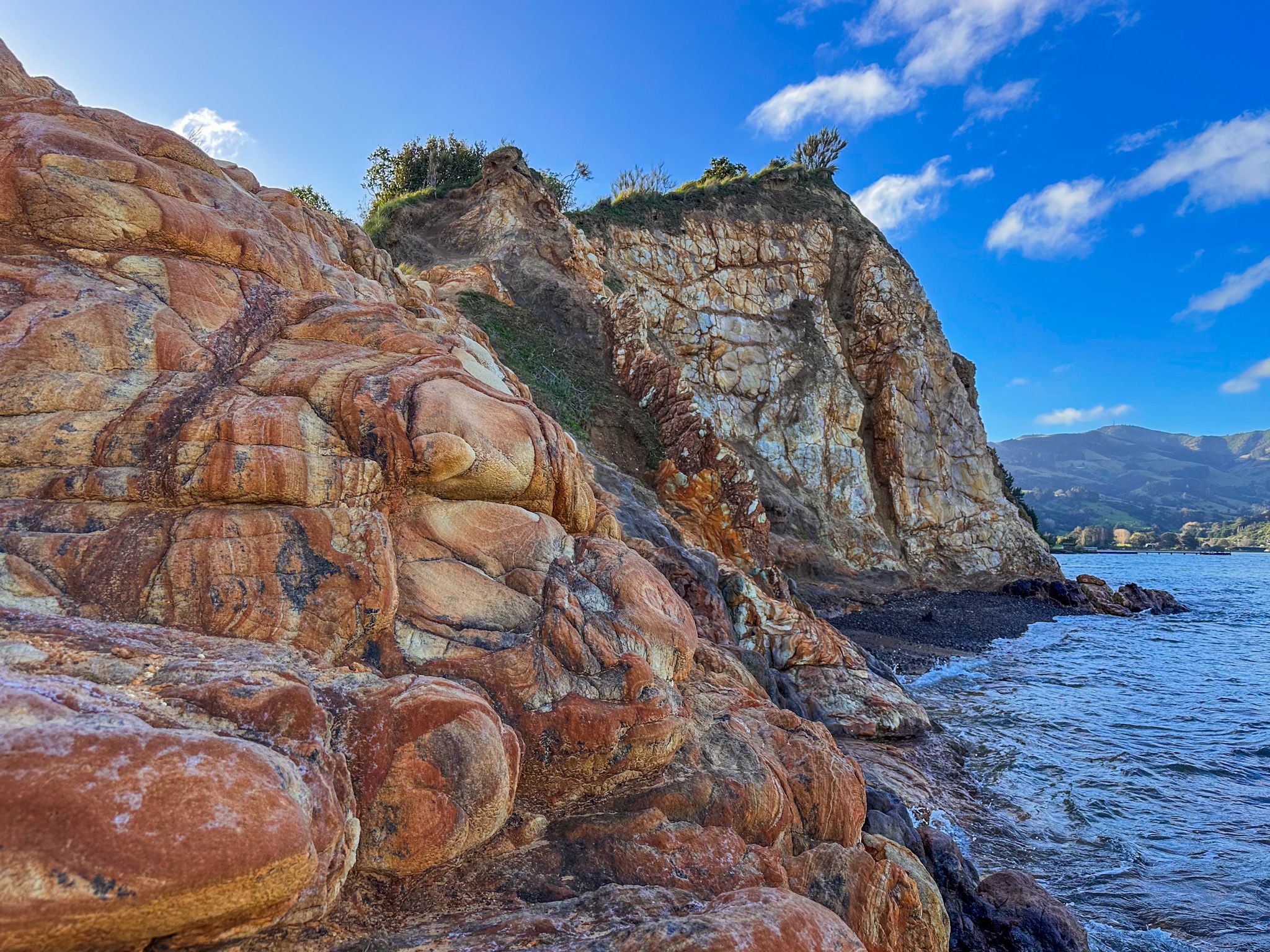
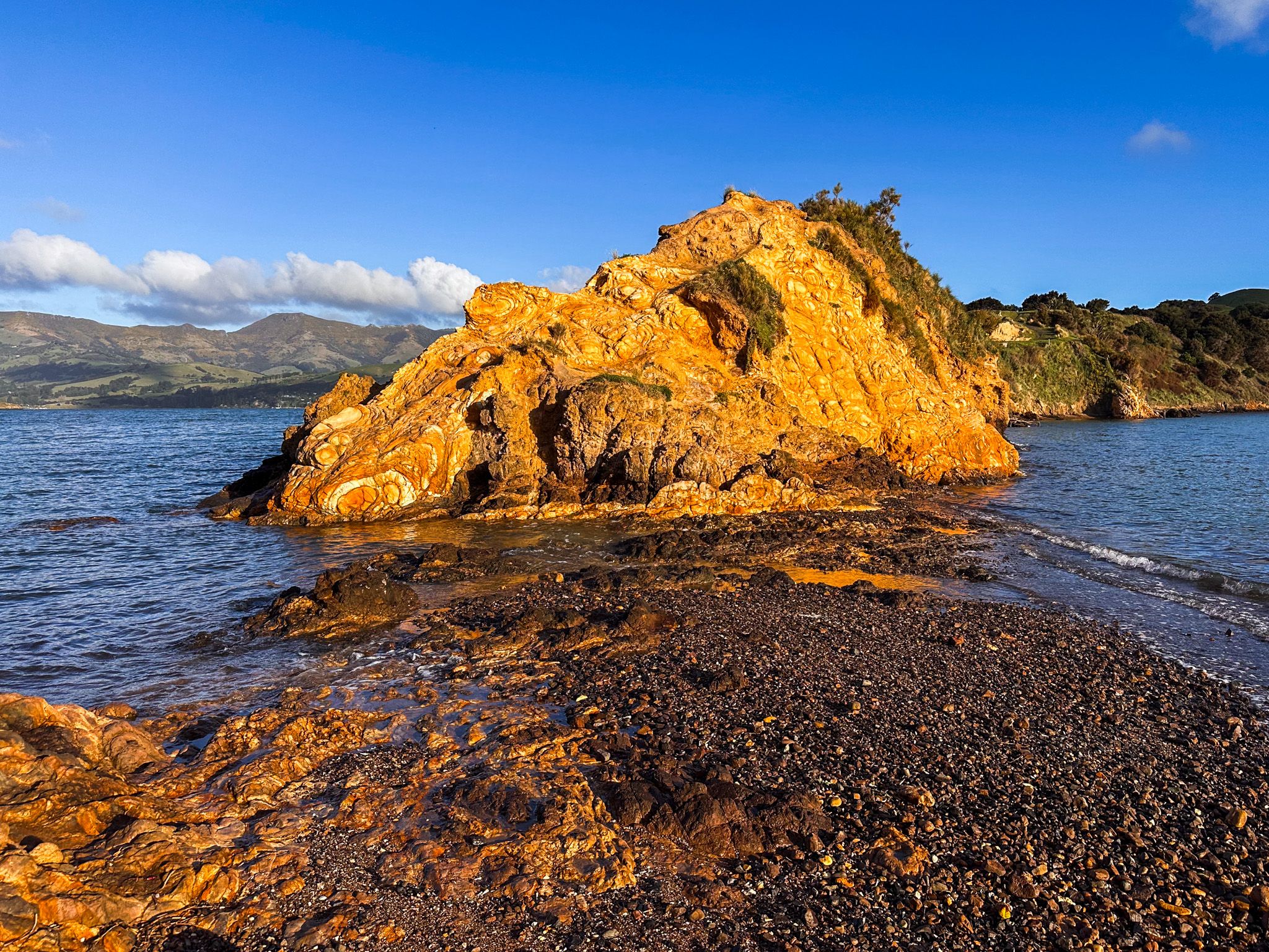
Ōnawe is a volcanic plug, part of the same ancient Akaroa volcanic complex that formed Banks Peninsula between nine and eight million years ago. The peninsula itself is composed of syenite at its southern end, while the narrow neck that connects it to the mainland exposes striking bands of deep-red and orange tuff, the eroded remnant of a volcanic ash cone formed around a vent. Trachyte “dykes” extend underwater from the shoreline, like submerged stone walls. These geological features are visible as you walk along the tidal platform at the start of the track.
Battle of Ōnewa Pā in 1832
Ngāi Tahu iwi had temporary encampments for gathering kaimoana, particularly flounder from the tidal mudflats around the nearby bays in Akaroa Harbour. The main settlements were north in Pegasus Bay at Kaiapoi and to the west at Wairewa (Little River).
Following the sacking of Takapūneke on Akaroa Harbour in 1830 by Ngāti Toa chief Te Rauparaha during the Musket Wars, and the subsequent fall of Kaiapoi Pā in 1832 after a three-month siege, the remaining Ngāi Tahu of Horomaka (Banks Peninsula) constructed a pā on the slopes of Ōnawe and prepared to make a stand.
The peninsula's strategic appeal was so obvious that French visitors in 1838 would name it Mount Gibraltar. The pā had three defensive areas: an outer wall at the narrow neck, which could only be safely crossed at low tide, and two main citadels higher on the crest, with a trench, palisades, a covered passage to a water spring, and waka pulled inside and filled with water. About 400 men defended it, with many more women, children and elders sheltering within.
However, Te Rauparaha was able to exploit a tactical error by the defenders. When a sortie by Ngāi Tahu across the neck was beaten back toward the gates, his warriors were able to press through behind the retreating Ngāi Tahu as the gates opened. Few Ngāi Tahu survived. The young and strong were taken for slavery; many others were killed on the flax flats at Barrys Bay, and it is estimated that up to 1,200 people died. However, the victory was a pyrrhic one;
Te Rauparaha went no further south as Ngāi Tahu gained access to more guns and were able to subsequently mount counterattacks into Marlborough.
A Tapu Site under Ngāi Tahu Ownership
The land is tapu (sacred) to Ngāi Tahu. The Ngāi Tahu Claims Settlement Act 1998 vested the peninsula in Te Rūnanga o Ngāi Tahu as a historic reserve. Farming has compromised some of the original pā earthworks, but these are still faintly visible as ridges in the pasture on the upper slopes.
Out of respect for the site's tapu status, visitors are asked not to eat while on the peninsula. It is a place for remembrance, not picnics.
The Walk
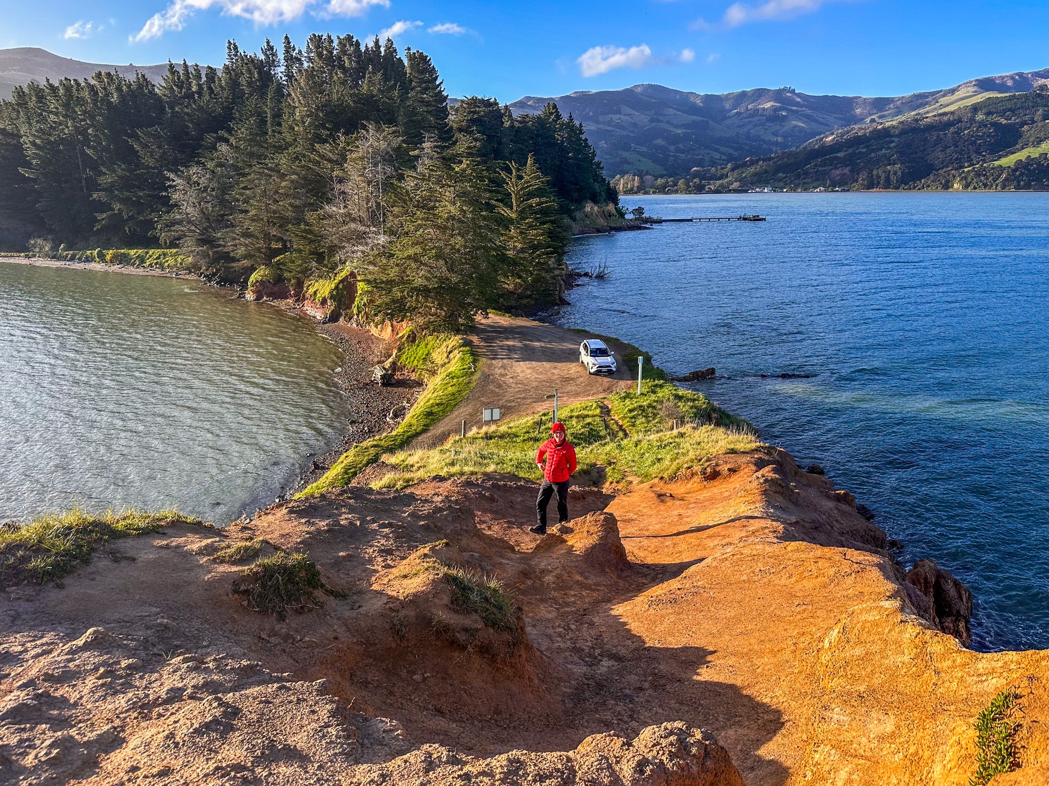
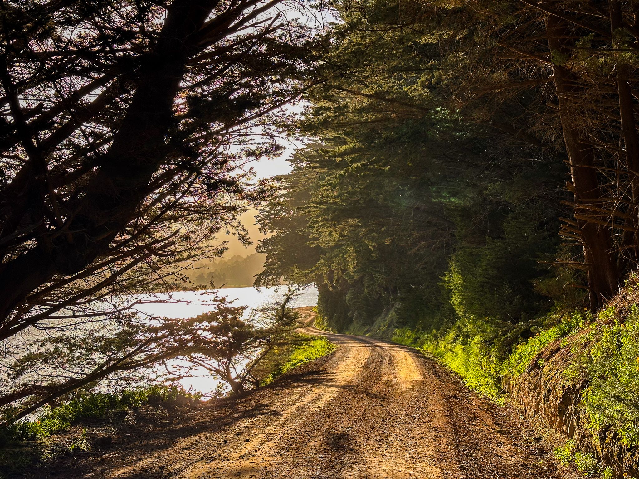
The walk out to Ōnawe is approximately 3.1 km return and takes about one hour. The track begins along the tidal platform at the base of the neck, where the orange and red banding in the volcanic tuff rock face is immediately visible. It is only accessible at low tide, when a path around the edge of the tuff is available, allowing you to cross the neck. You can get to the top of the tuff, but there are cliffs on three sides.
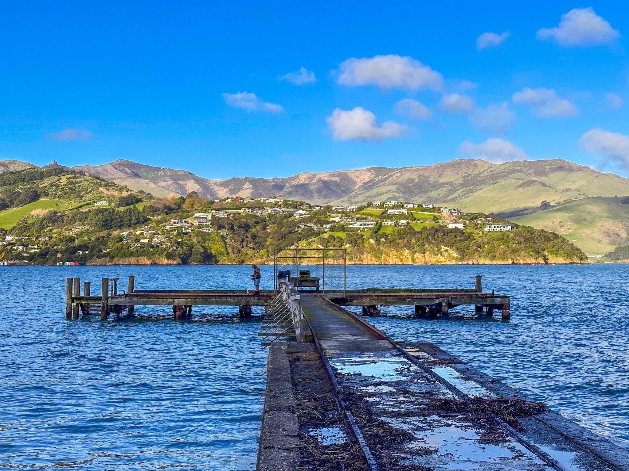
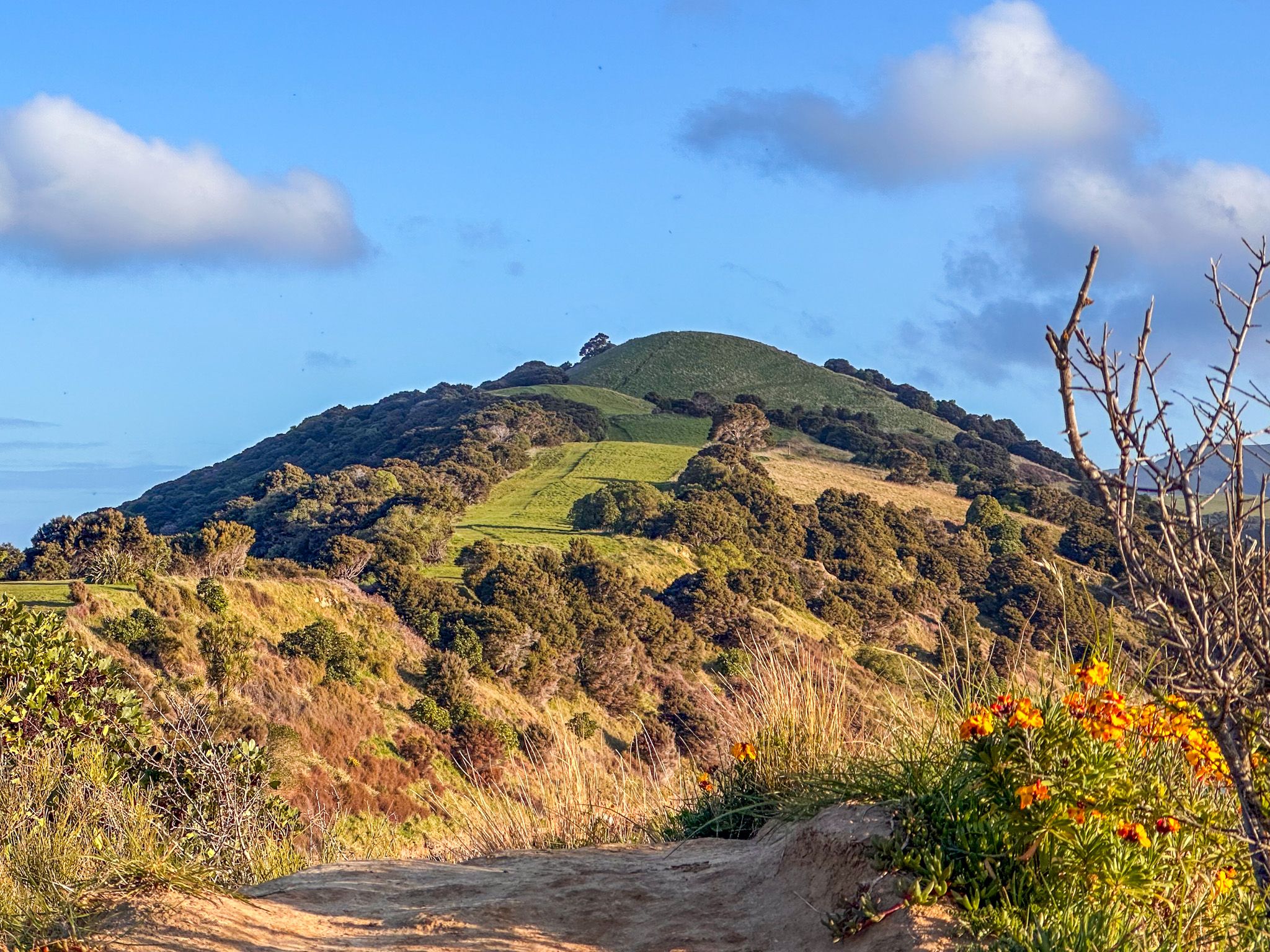
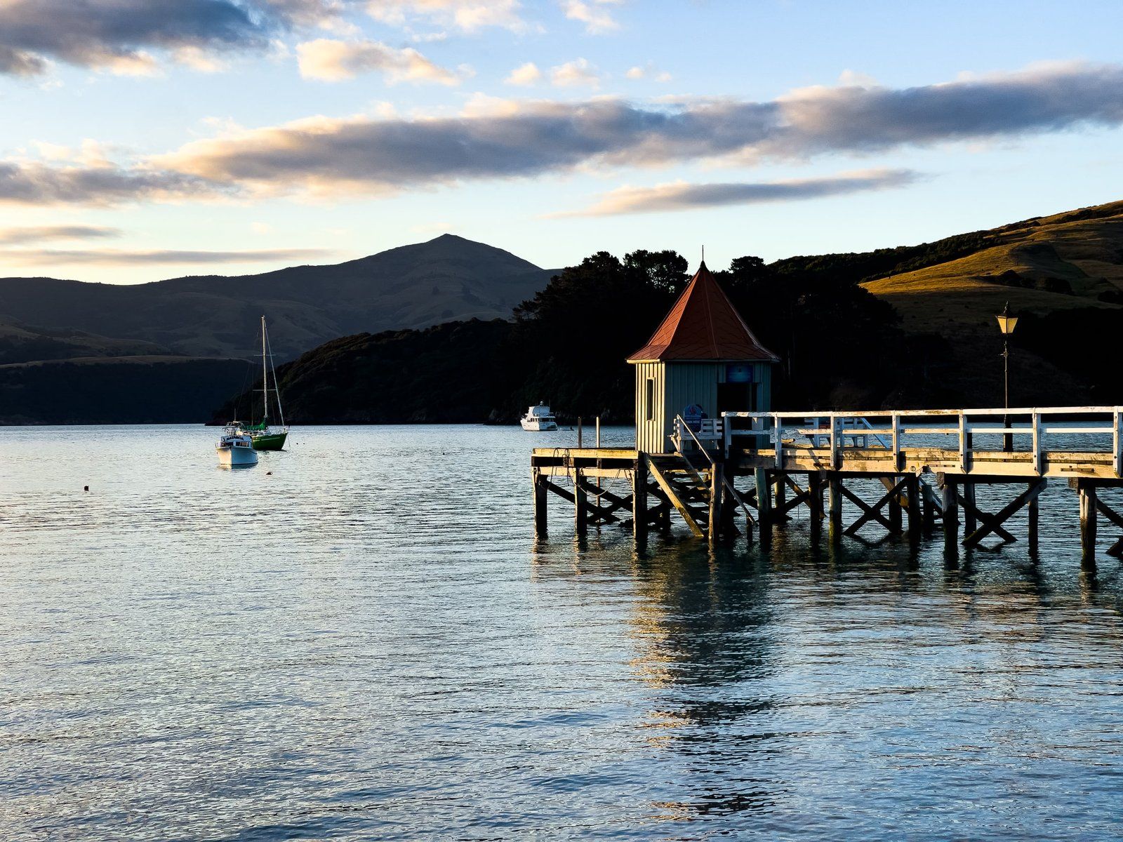
Beyond the neck, the path climbs a grassy hillside to the summit, with the harbour and surrounding hills in view throughout. At the summit, regenerating kānuka surrounds the open area where the trig station once stood. Along the access road, there is a wharf with picnic tables, an information board and a barbecue.
How to Get There
From Christchurch, take State Highway 75 toward Akaroa. Just before the small settlement of Duvauchelle (approximately 75 km from Christchurch and 20 minutes from Akaroa), turn right into Onawe Flat Road. The road becomes unsealed and narrow; follow it to the small car park at the Razorback, the base of the peninsula's neck. No dogs are permitted.
Nearby places to visit include French Farm Bay, Lighthouse Road, Hinewai Reserve, Le Bons Bay and Okains Bay.