Exploring Peel Forest Park Scenic Reserve
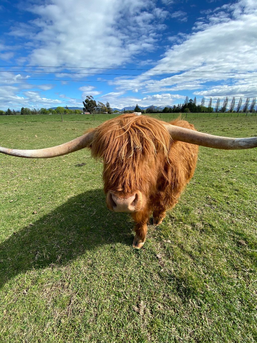
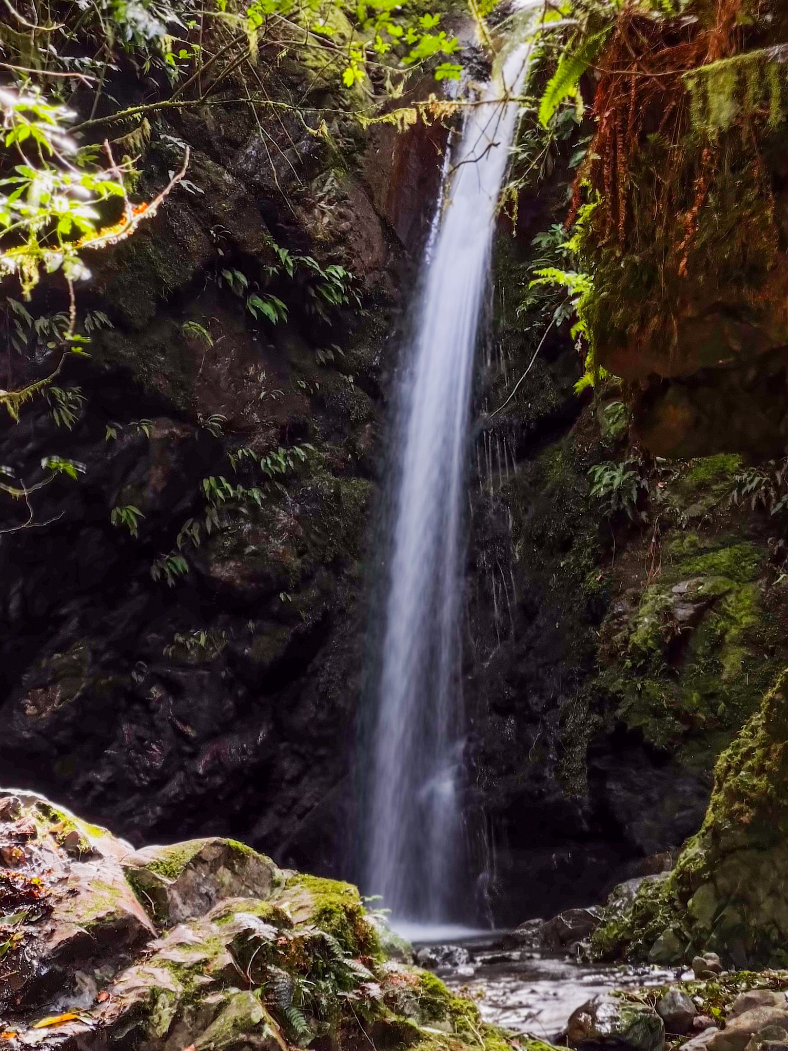
Peel Forest Park Scenic Reserve, covering 4,077 hectares, is nestled in the foothills of the Southern Alps on the west side of the Rangitata River. This reserve is home to Little Mount Peel / Huatekerekere, Middle Mount Peel, and part of the Tara Haoa Range. It has a rich blend of forestry history and excellent walking tracks, including easy forest walks and waterfalls. These features make it an ideal stop along the scenic route between Mt Hutt and Geraldine. For those looking to extend their stay, camping is available near the river between Cain Flat and Clarke Flat.
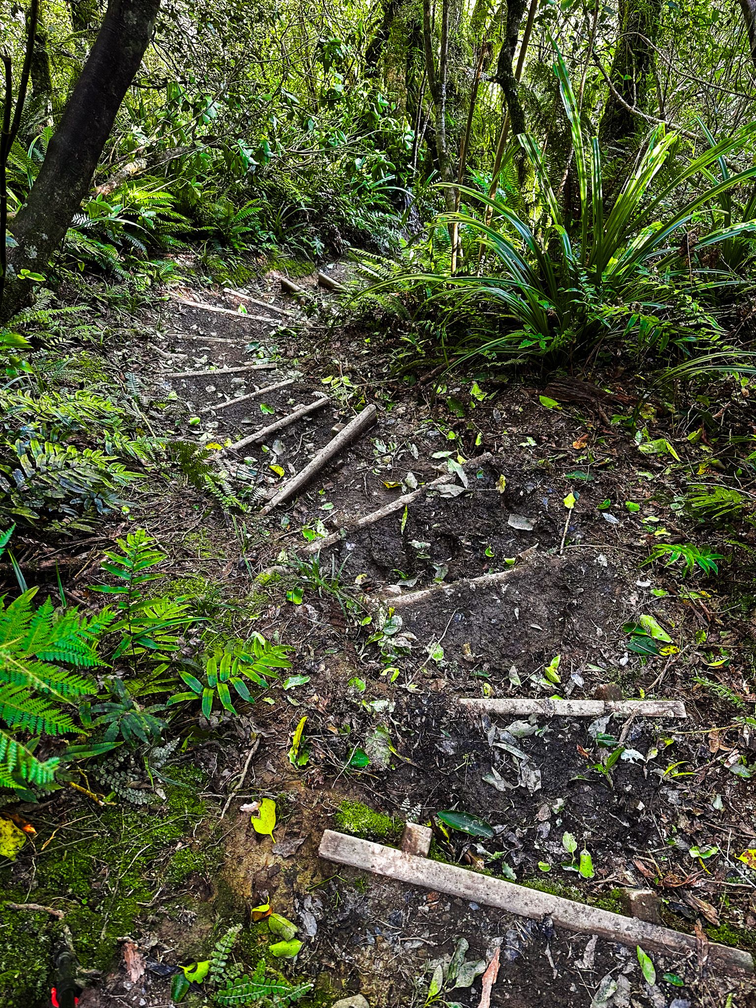
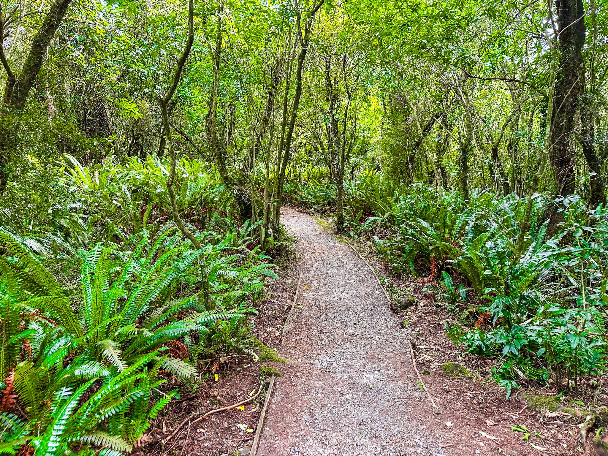
Tracks and Trails
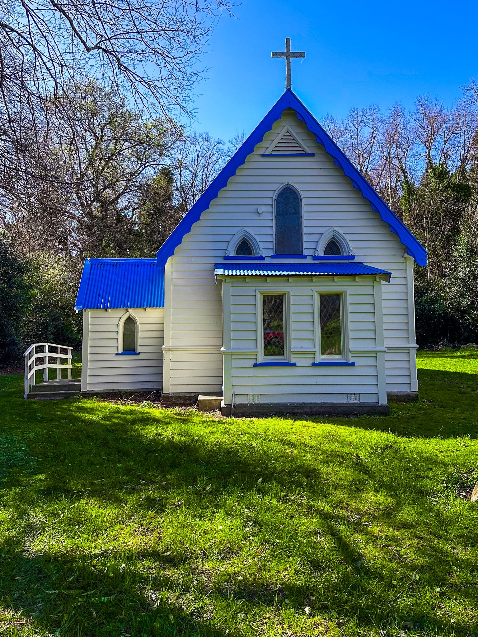
The reserve is situated around the southwest side of Little Mount Peel / Huatekerekere, approximately 22 km north of Geraldine. To reach the reserve, take Geraldine-Arundel Road from State Highway 79, then turn left onto Peel Forest Road. After 12 km, you will arrive at the hamlet of Peel Forest. Here, you can visit Saint Stephen's Church, a charming structure built in 1868, destroyed by a whirlwind, and reconstructed in 1885. The church is noted for its wooden interior and unique New Zealand interpretation of traditional stained glass windows.
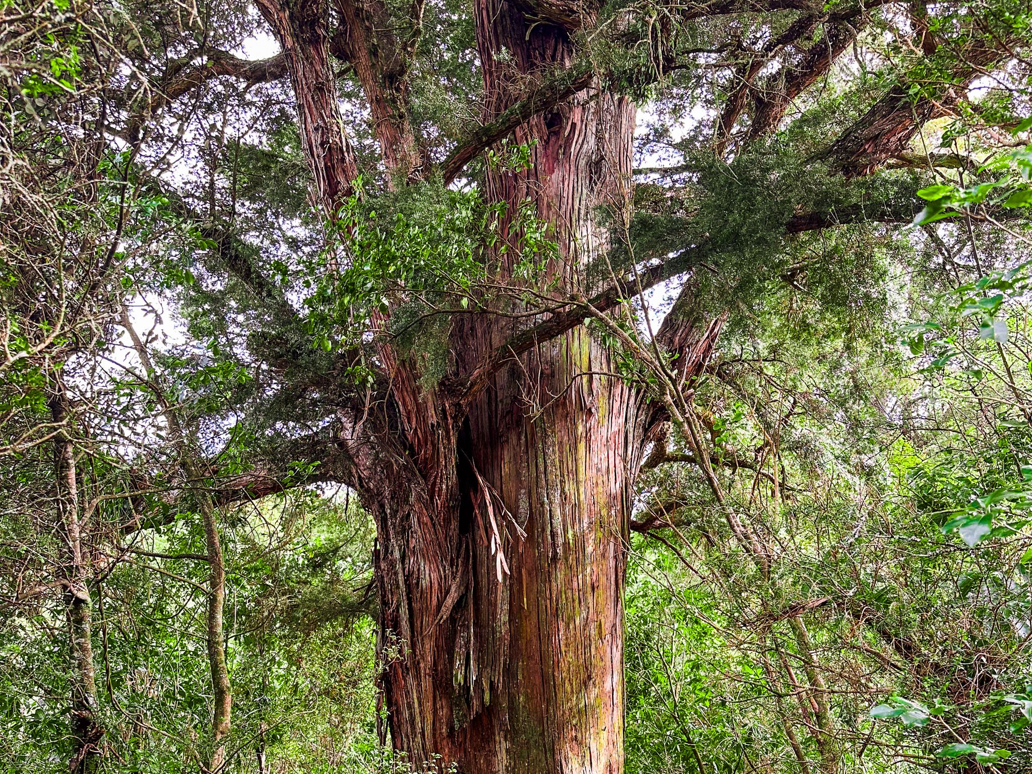
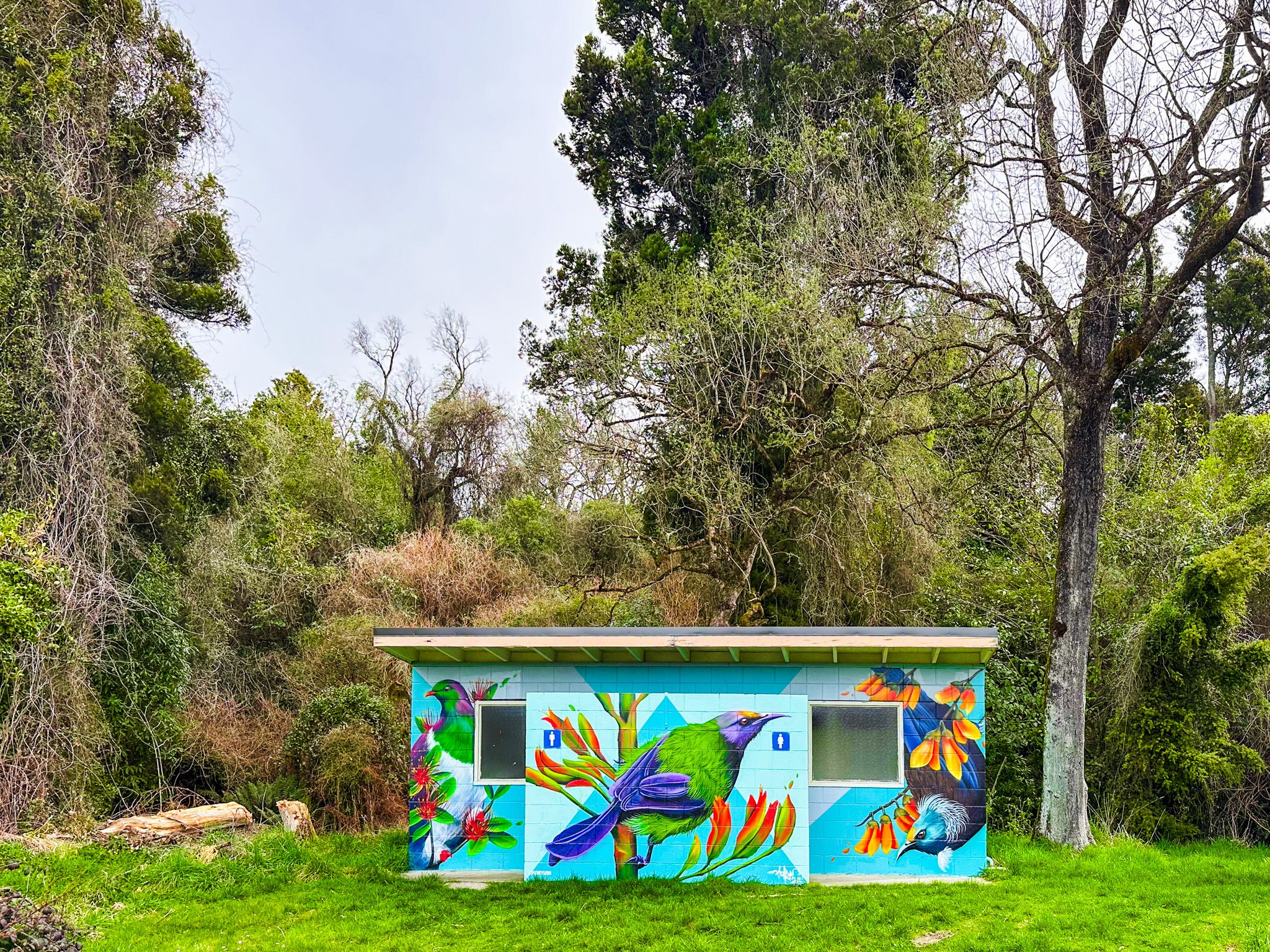
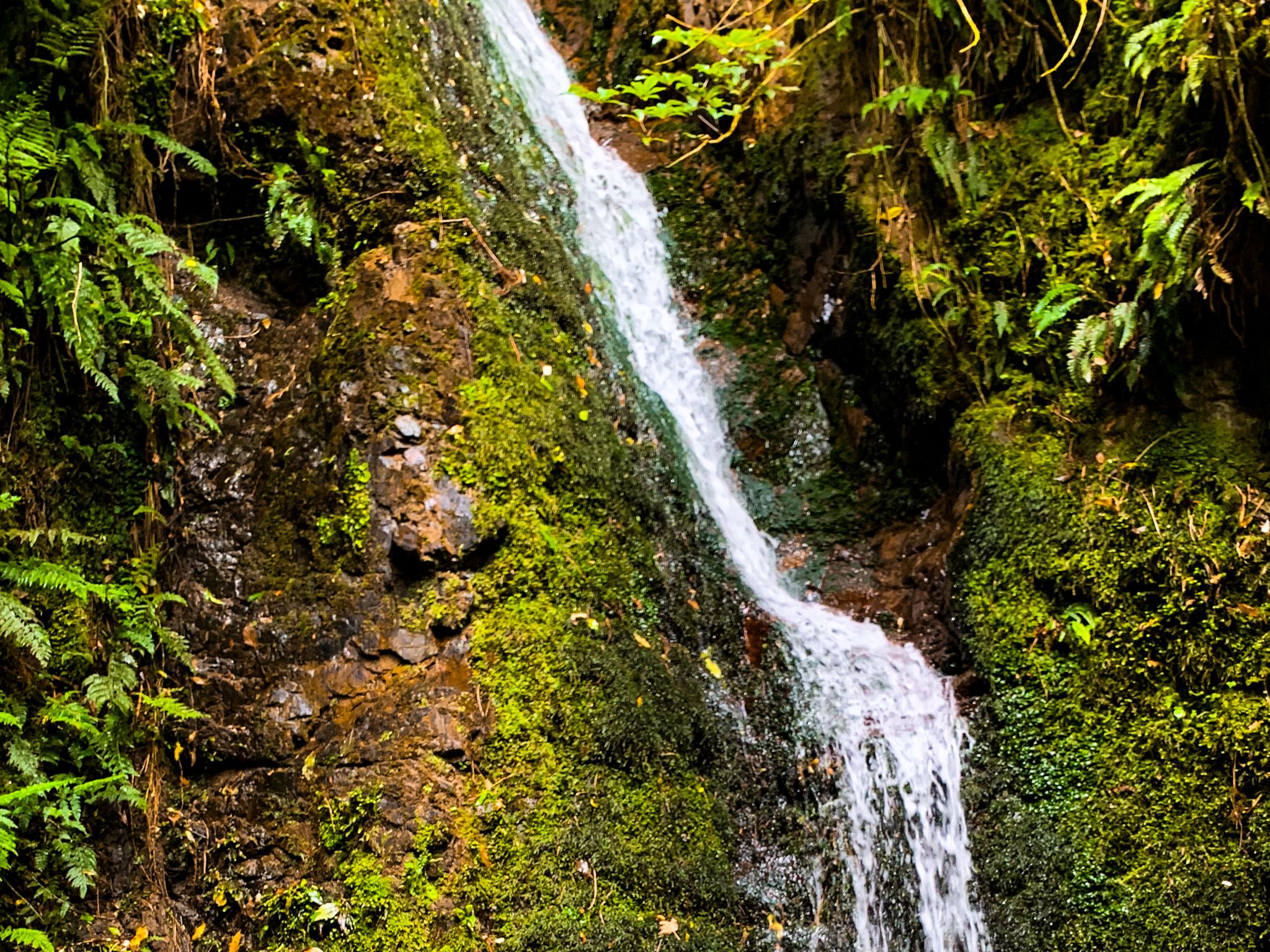
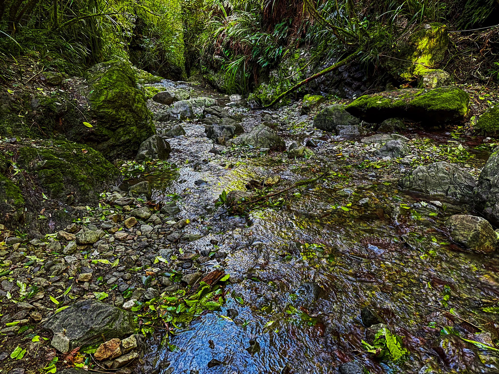
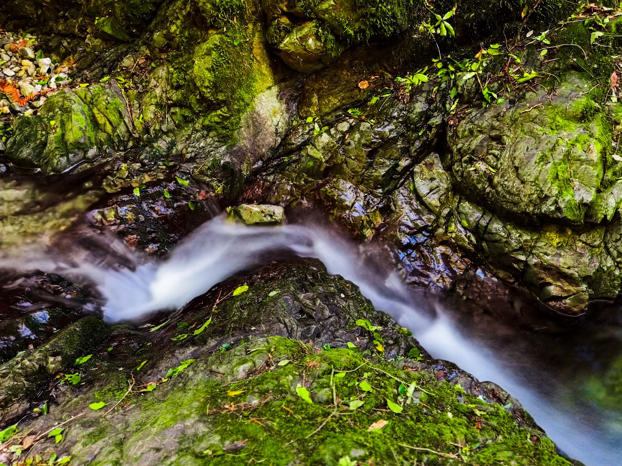
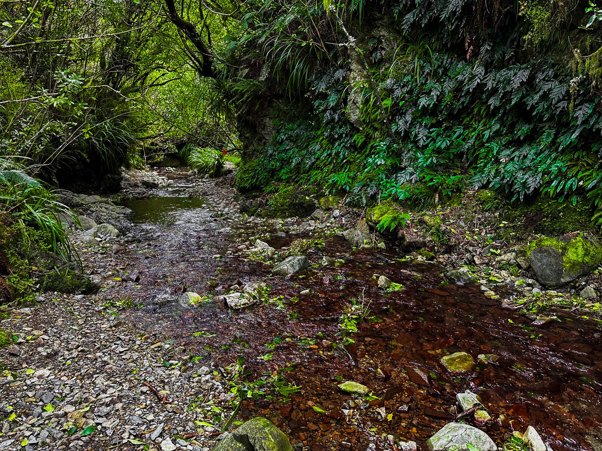
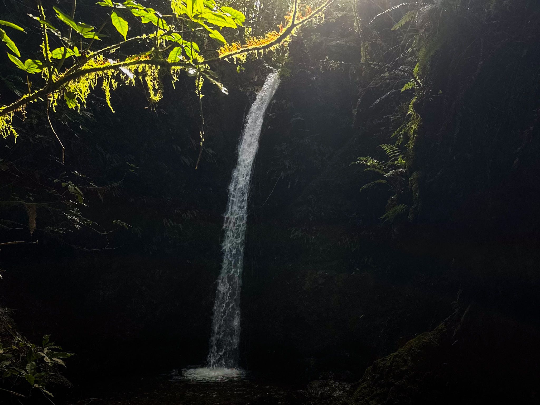
From Peel Forest, you can continue on Rangitata Gorge Road to Te Wanahu Flat, where several short tracks are accessible, including the Kahikatea Walk, the Acland Falls Track, and the Big Tree Walk. Alternatively, turn left from Rangitata Gorge Road towards the end of Blandswood Road, leading to the small hamlet of Blandswood. Parking is limited near the reserve access, but additional parking is available where the road crosses the Kowhai Stream. From here, you can embark on the Dennistoun Bush Walk and Emily Falls Track.
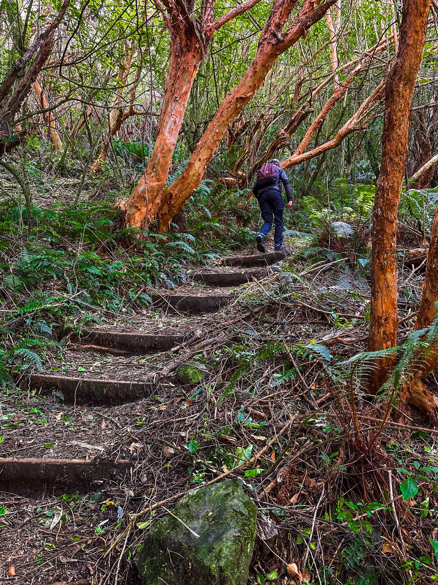
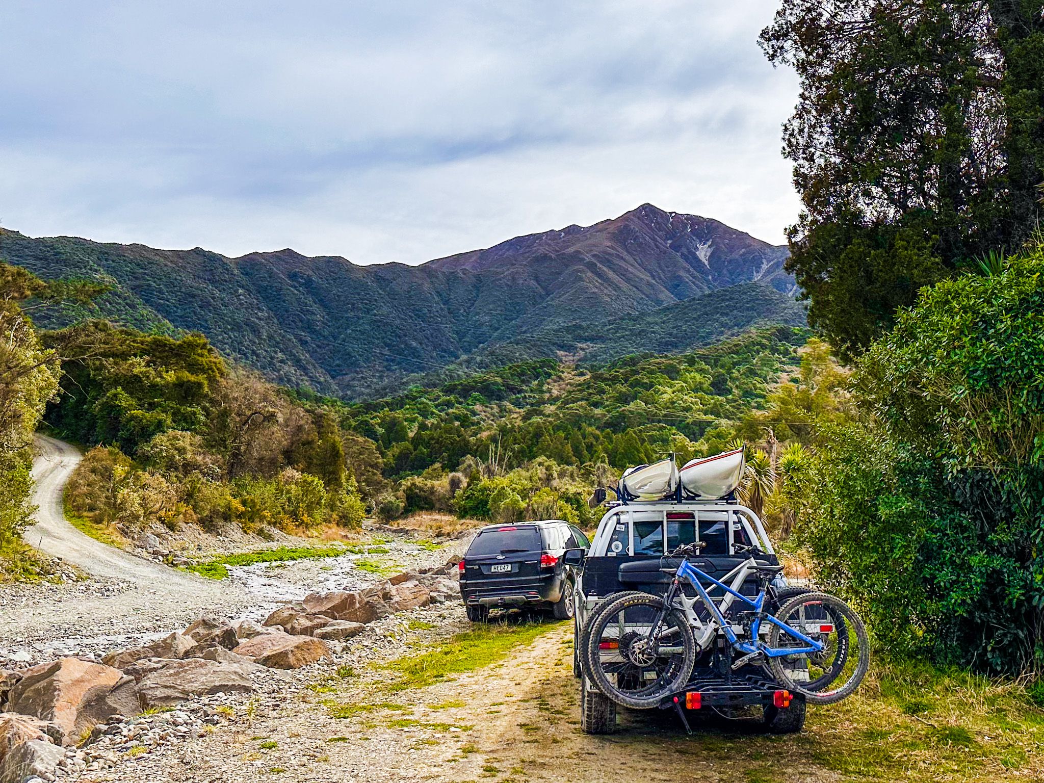
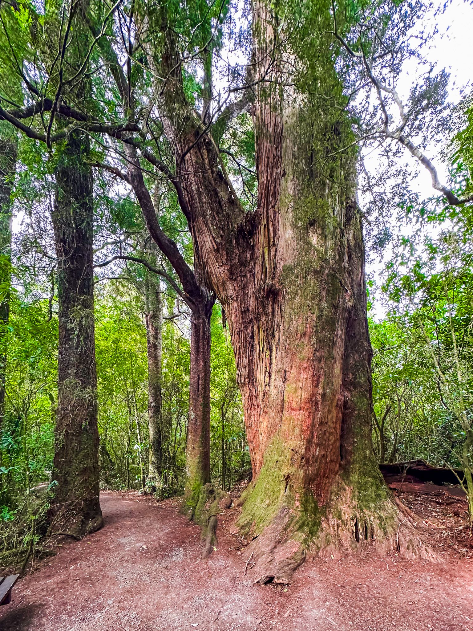
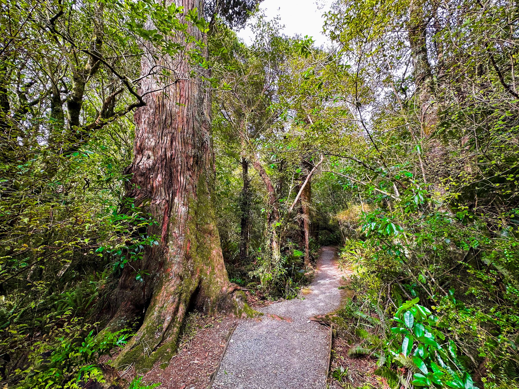
For more substantial hiking, the Allans Track connects Te Wanahu Flat to Blandwood Road, taking about 90 minutes each way. A day tramp to the peak of Little Mount Peel / Huatekerekere involves a climb from 800 to 1,311 metres and can be completed as a loop via the Allans and Deer Spur Tracks, connecting to the South Ridge Route at the top and the Emily Falls Track for the final section. For those seeking a more rugged experience, access to The Tara Haoa Range is available from Rangitata Gorge Road.
Historical and Cultural Significance
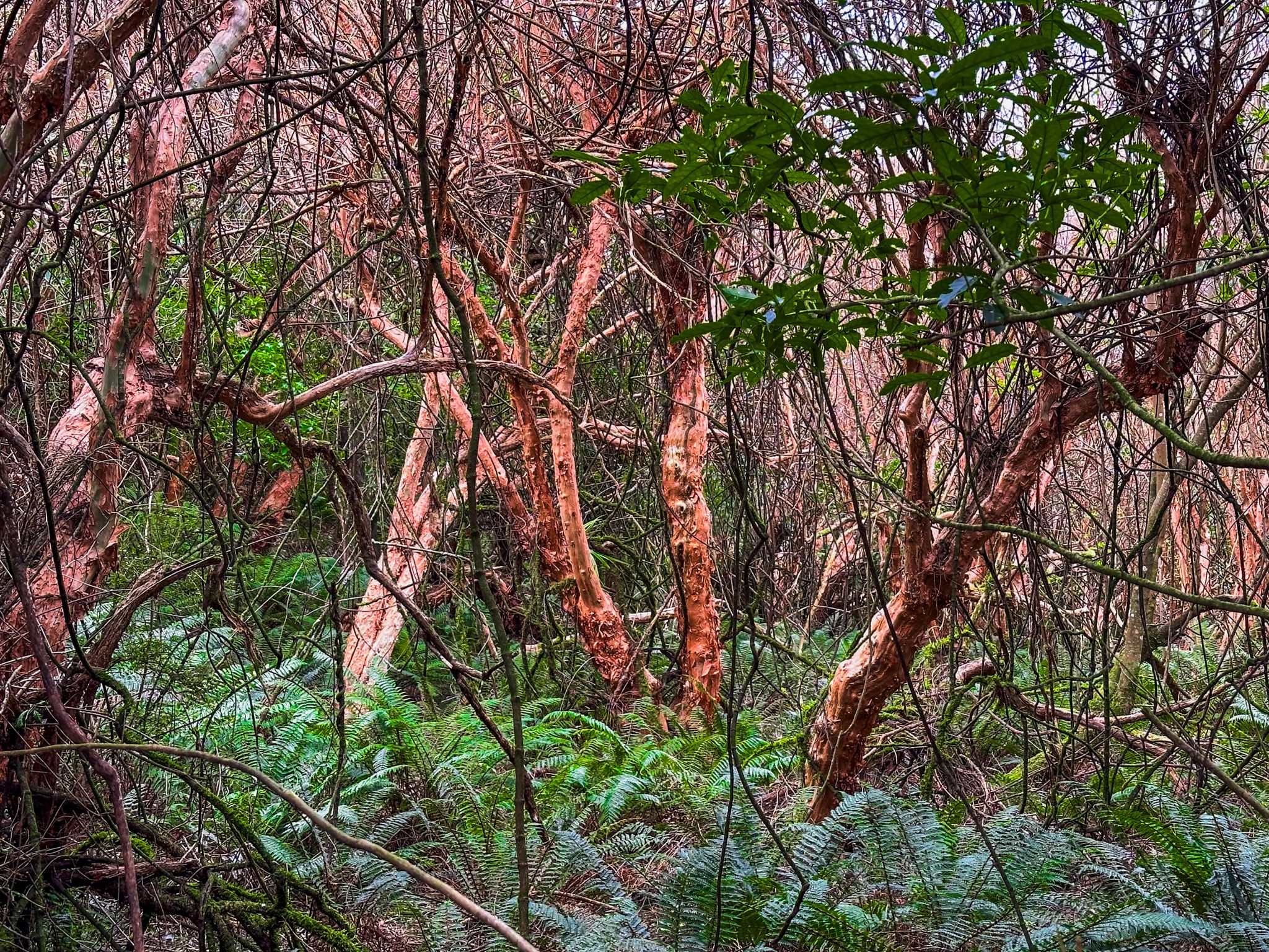
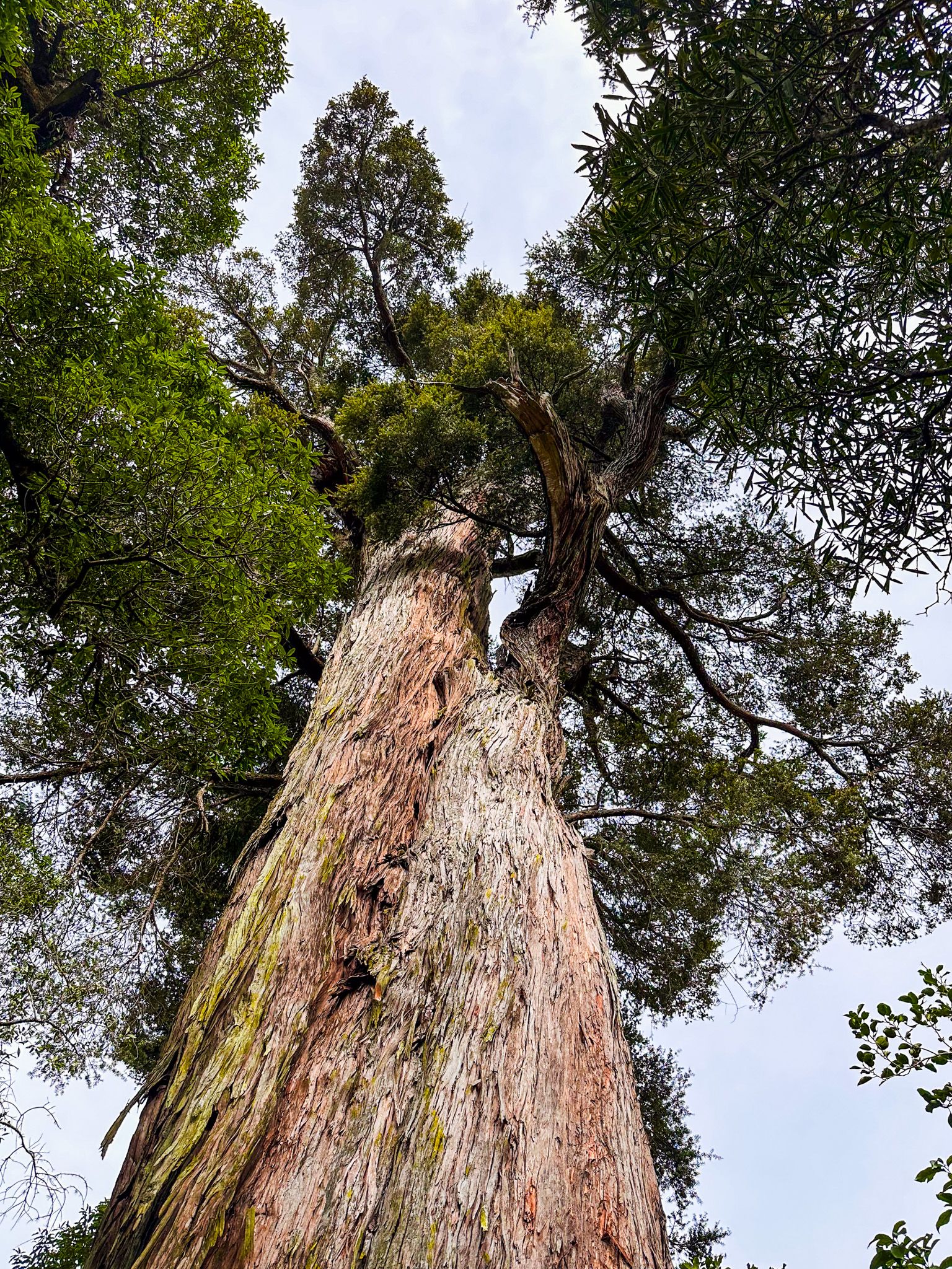
Peel Forest has a fascinating history, being one of the few forests around the Canterbury foothills to survive large-scale burn-offs 800 to 1,000 years ago. These burn-offs were likely due to the long-term drying of the Canterbury Plains, making them susceptible to natural events like lightning strikes and the arrival of Māori moa hunters, who used large cooking fires.
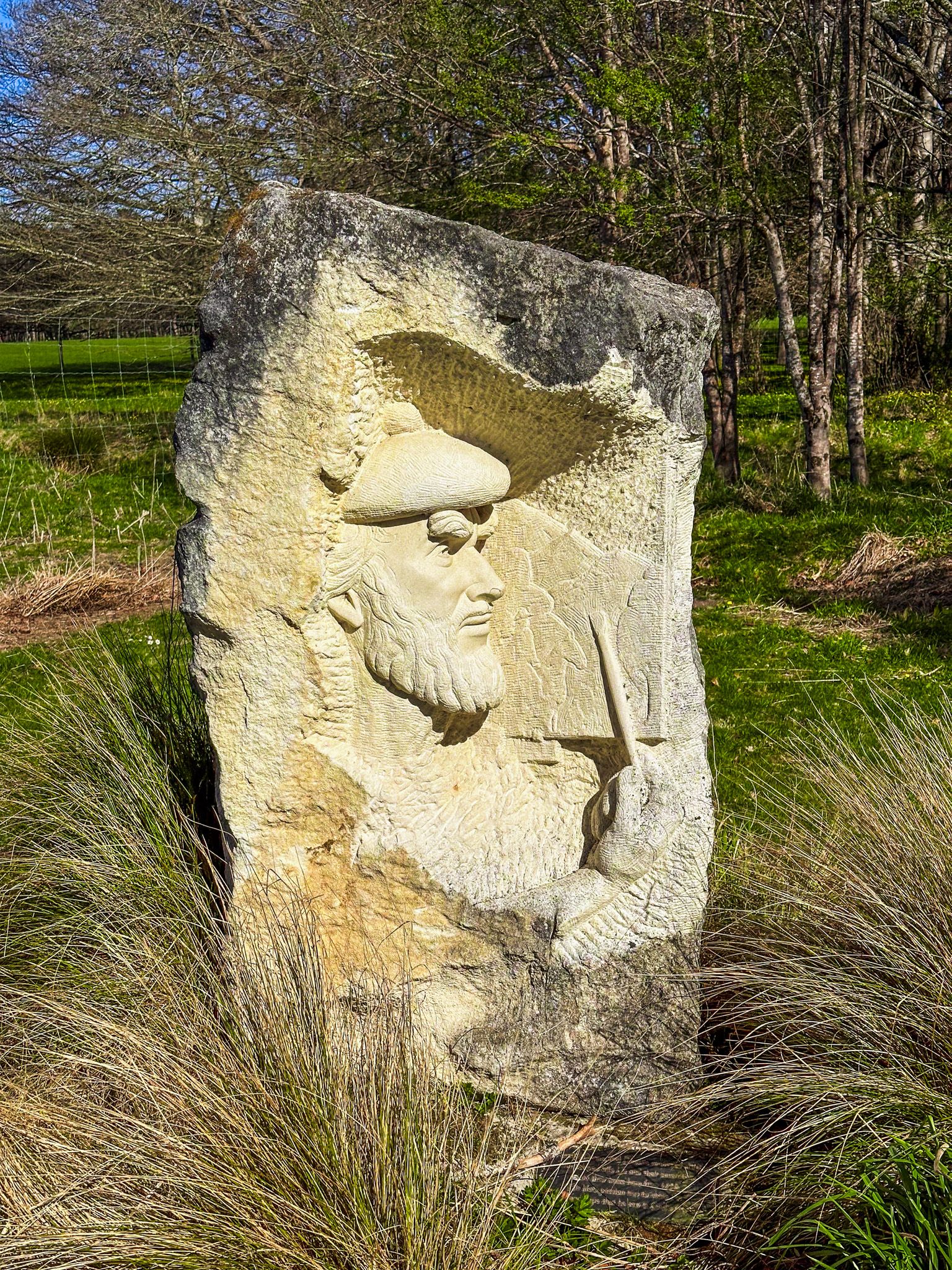
For local Māori, the area holds cultural significance through the story of the voyage of Te Ārai-Te-Uru from Tauranga in the North Island, down the Canterbury and North Otago coast. The waka encountered trouble, leading the crew to throw out their kai hīnaki (food baskets), which became the Moeraki Boulder / Kaihinaki. Despite this, the waka ran aground on Te Taki o Maru, “the reef of Maru”, and began to break up east of Katiki Point. Most of the crew reached shore and named the landscape as they explored. Crew members Tarahaoa and Huatekerekere settled along the Rangitata River near the foothills. After their deaths, they became Mount Peel and Little Mount Peel / Huatekerekere. Their children are represented by the ancient tōtara of Peel Forest, and their grandchildren by the nearby Four Peaks.
In 1849, Charles Torlesse visited the area searching for coal and named it "Gurdon Forrest." Francis Jollie later renamed it in memory of Sir Robert Peel, an English Prime Minister. Early sheep runs were established by John Acland, Charles Tripp, and Francis Jollie. By the late 1850s, the Acland and Tripp partnership owned nearly 120,000 hectares, including Mount Peel, Mount Somers, Mount Possession, Orari Gorge, and parts of Mesopotamia and Hakatere.
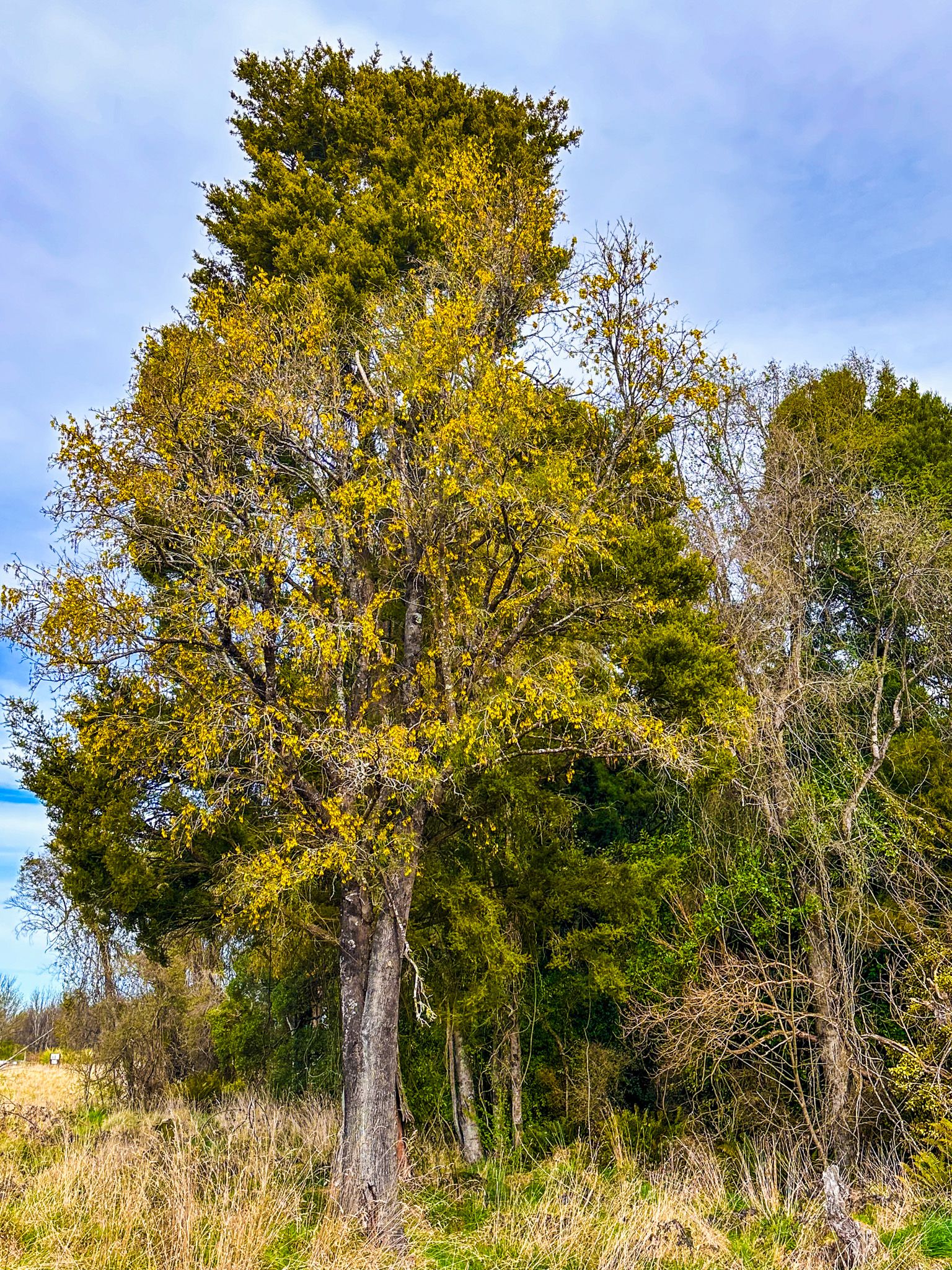
The local community began to grow in the 1850s with the timber industry. Kahikatea, matai, and tōtara were cut and milled locally, with remnants of sawpits still visible near Clarke Flat on the Kahikatea Track. The forest might have disappeared entirely, but in 1881, Arthur Mills, a visiting British MP and Acland’s brother-in-law, was appalled by the devastation and purchased 16 hectares of virgin ancient forest. This purchase laid the foundation for the park, and although sawmilling continued until after the 1900s, the path to conservation was set.

Getting to Peel Forest Park Scenic Reserve
To visit Peel Forest Park Scenic Reserve, head 22 km north of Geraldine. From State Highway 79, take Geraldine-Arundel Road and turn left onto Peel Forest Road. After 12 km, you will reach the hamlet of Peel Forest. From Christchurch, the drive is 115 minutes and 139 km.