Exploring Geraldine: A Scenic Stop in South Canterbury
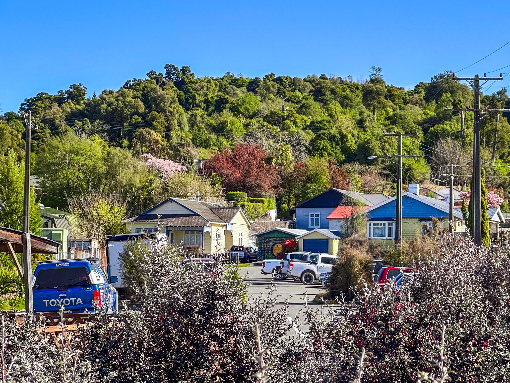
Geraldine, known as Heratini to Māori, is a charming town in South Canterbury, strategically located on State Highway 79 between the Canterbury Plains and Mackenzie Country. Nestled on the southeast edge of the Four Peaks Range, it marks the southern end of the Canterbury Plain. The town is bordered by the Orari and Hae Hae Te Moana Rivers, while the Waihi River runs through its centre. Geraldine's scenic location and excellent dining options make it an attractive stopover for travellers.
A Town with a Culinary Focus
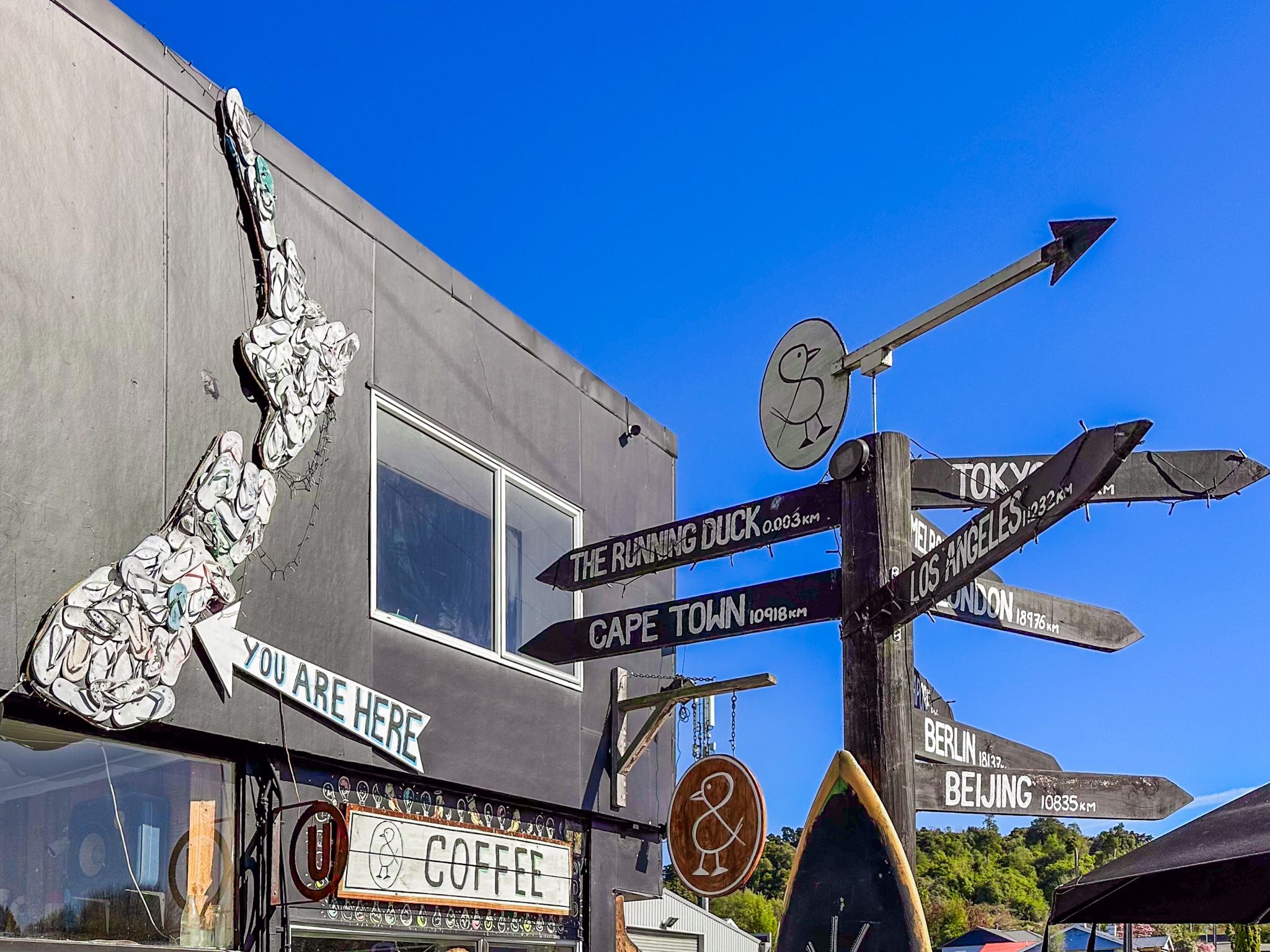
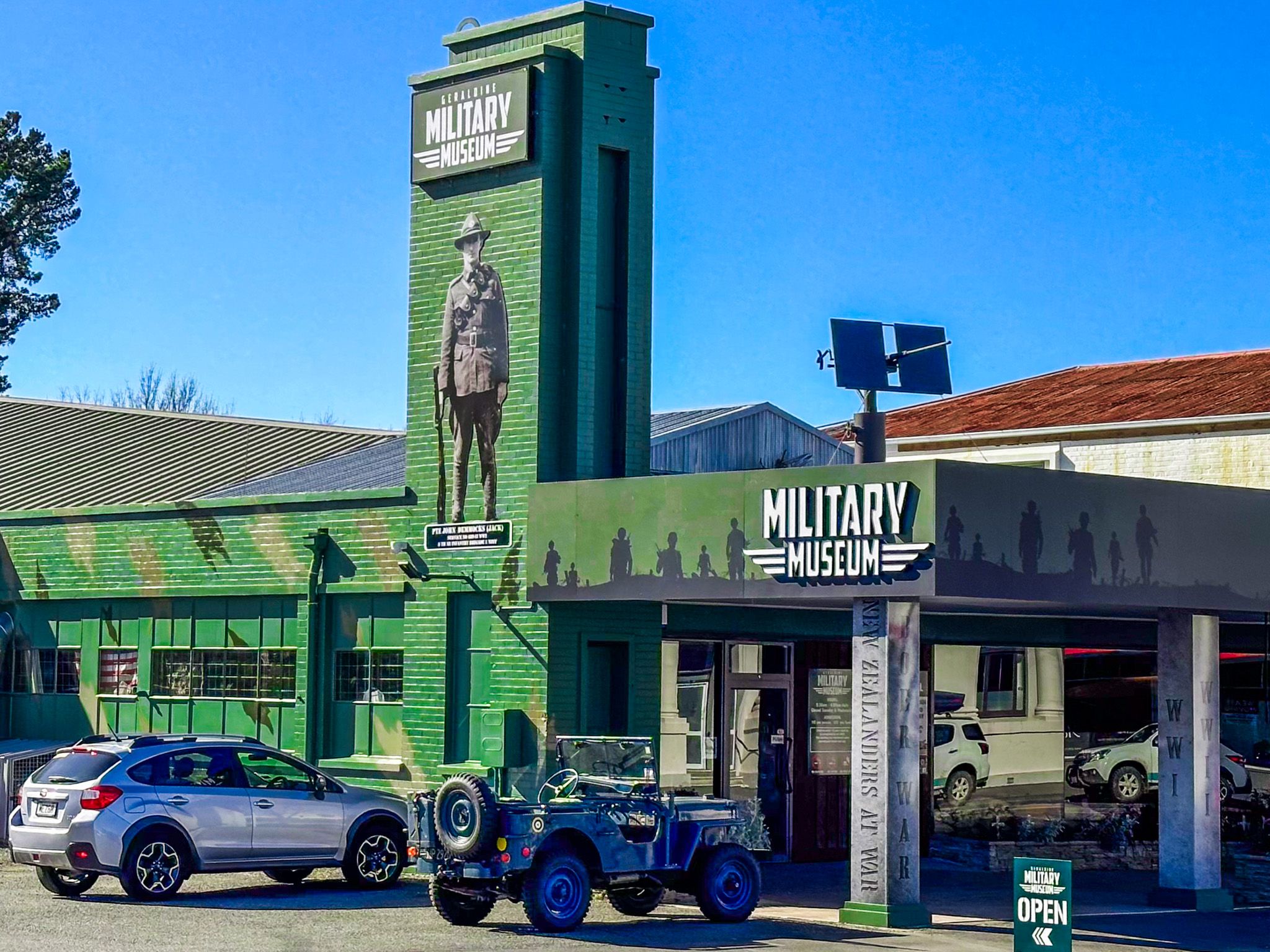
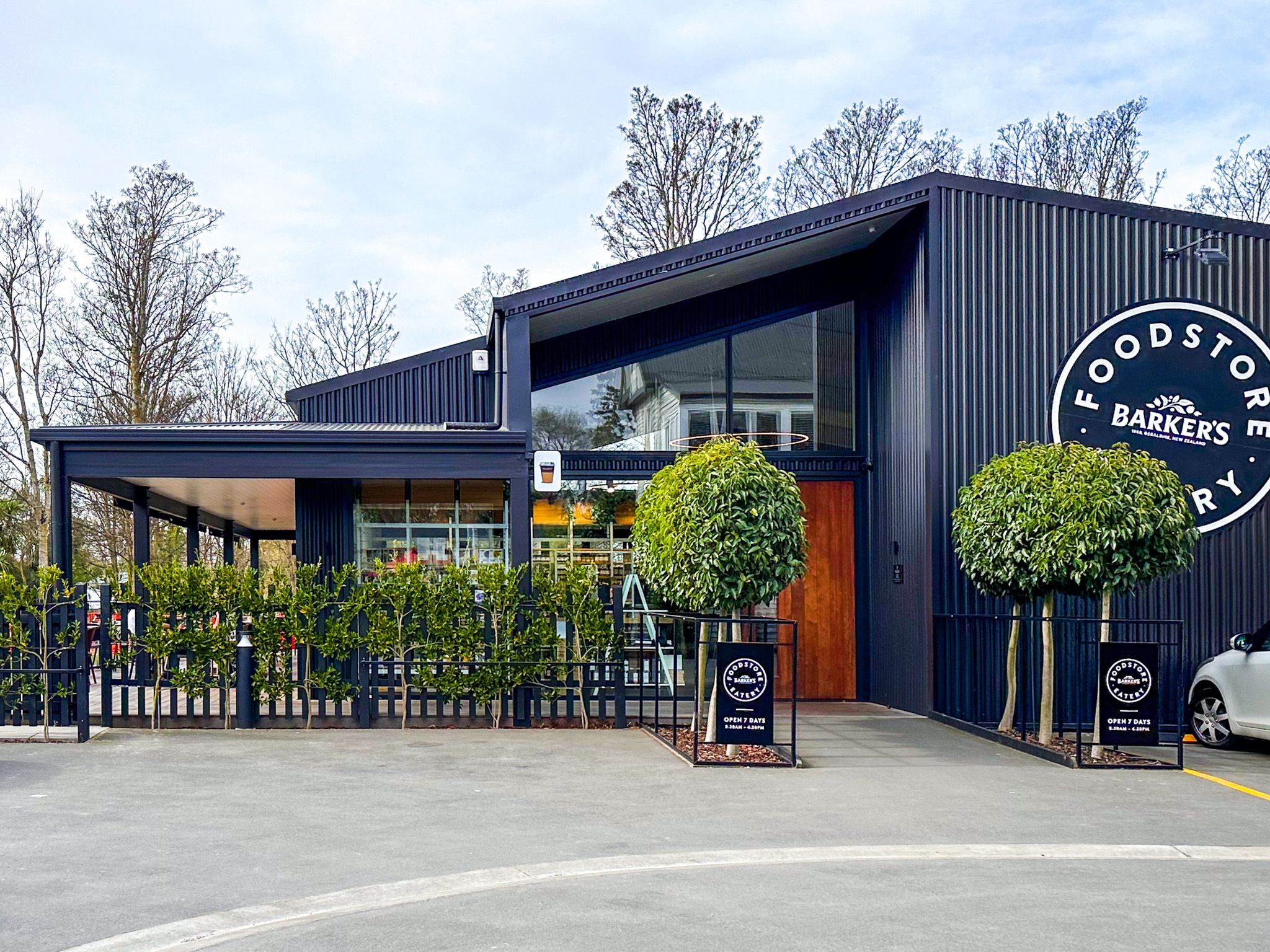
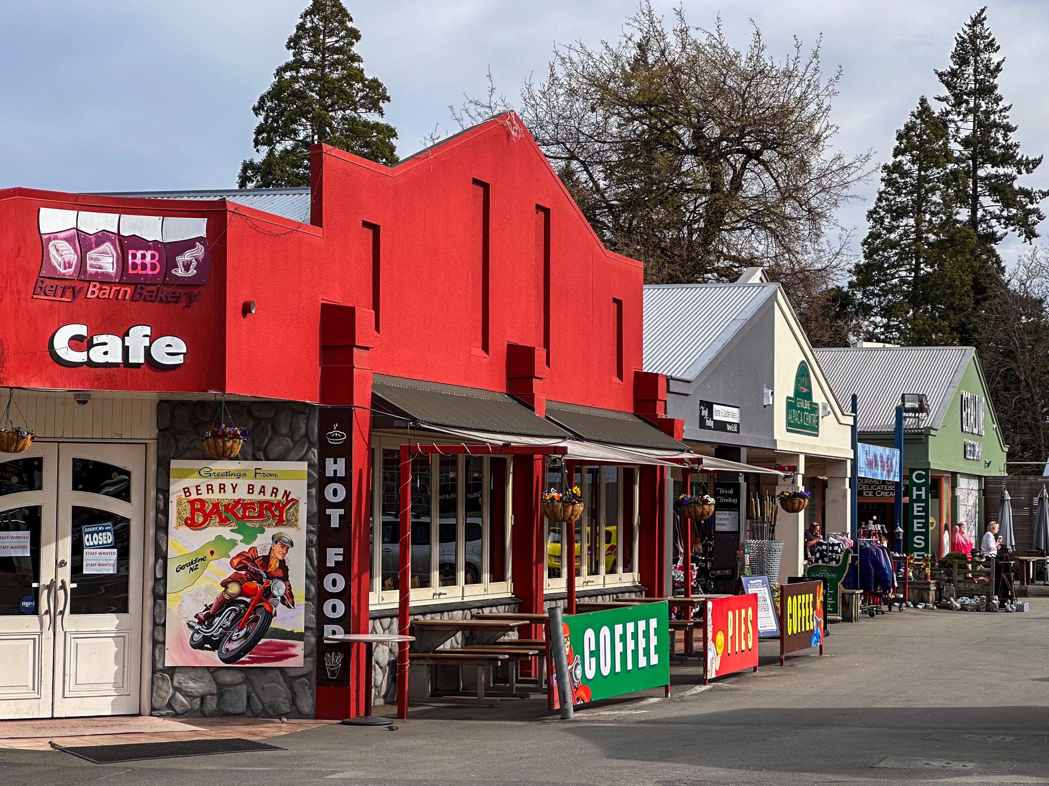
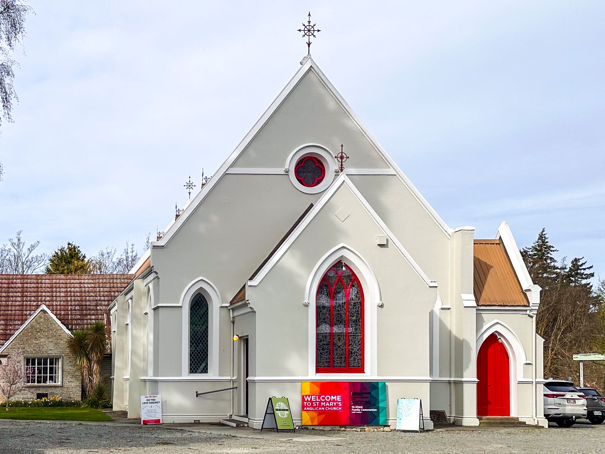
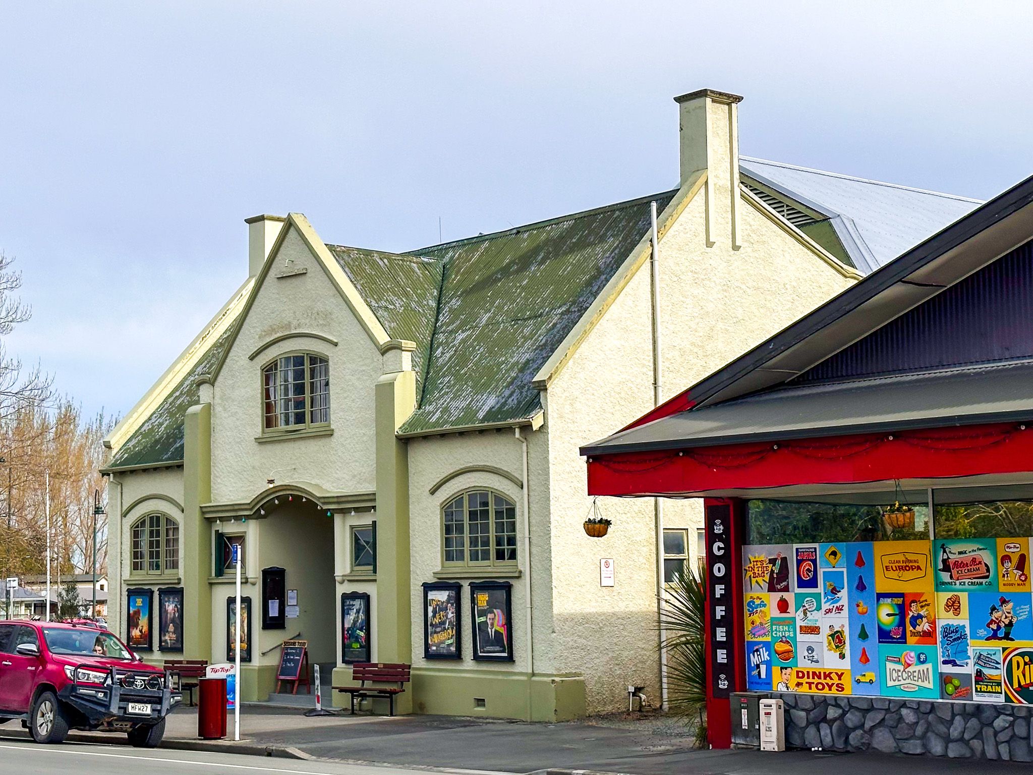
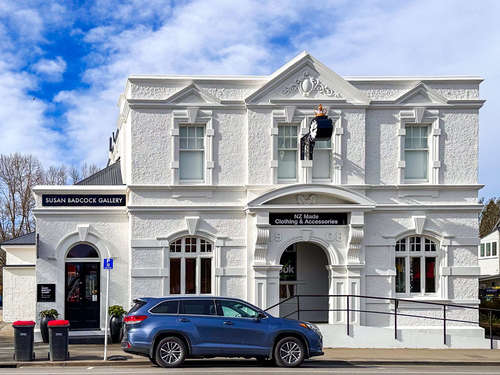
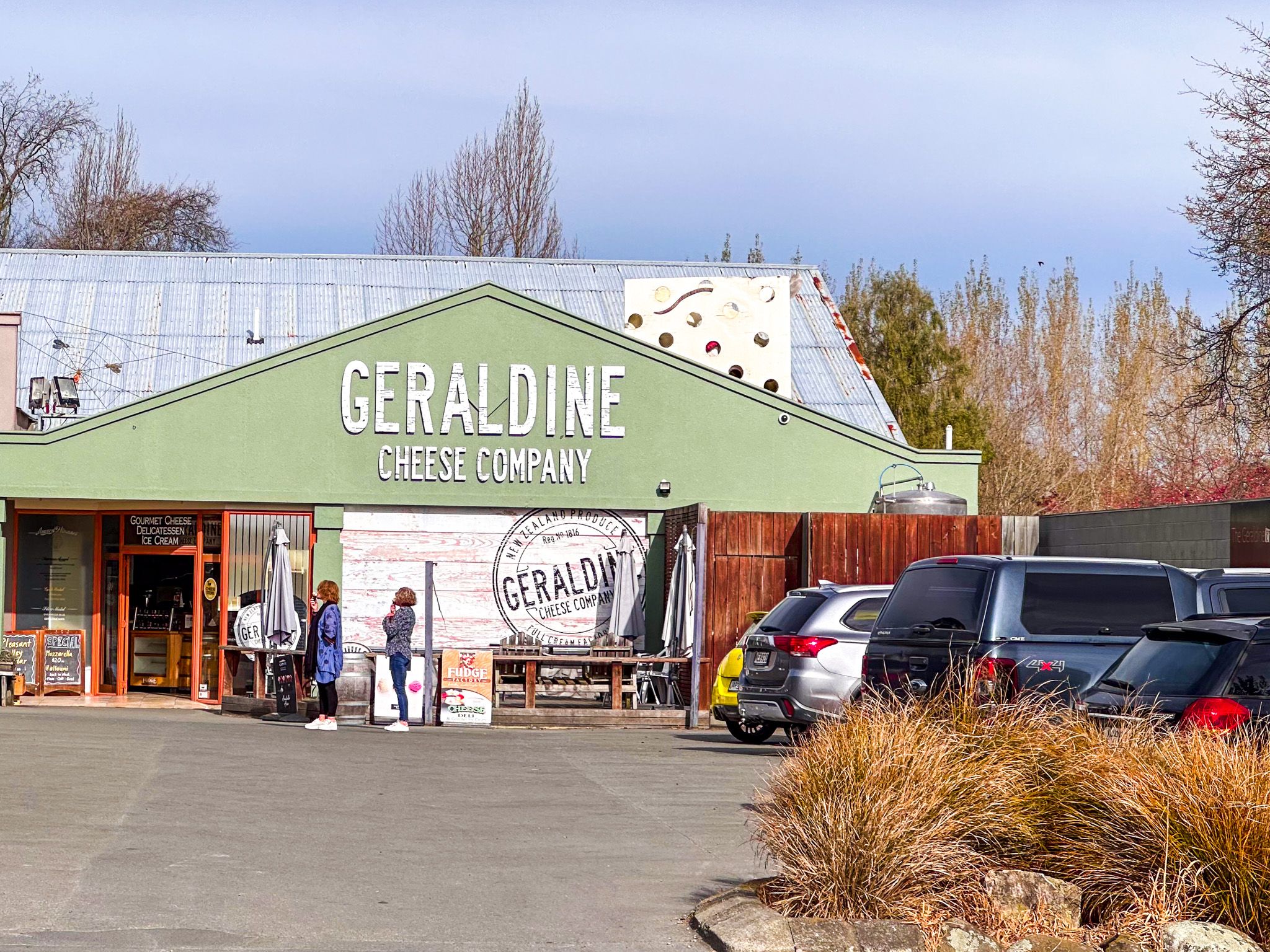
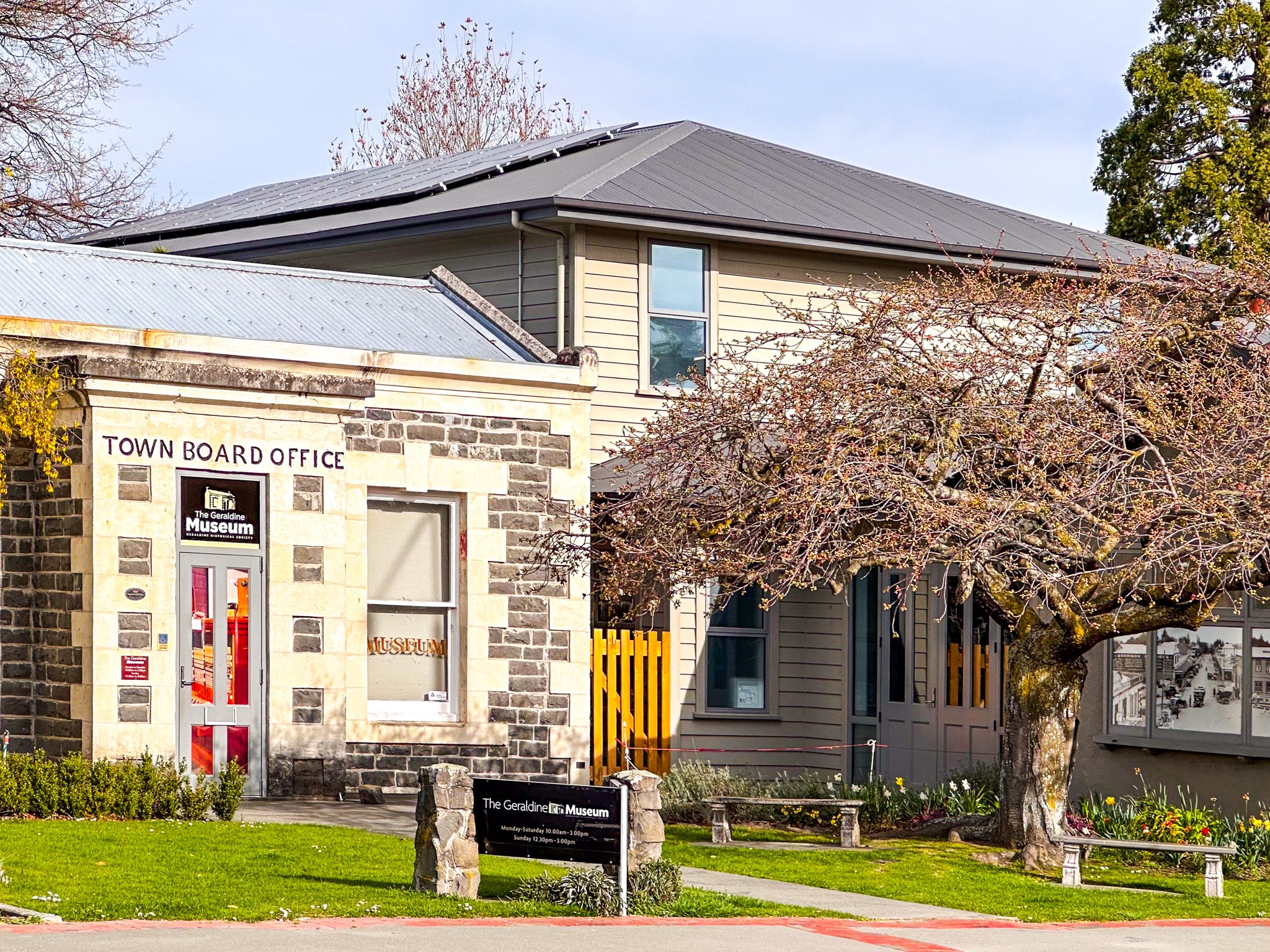
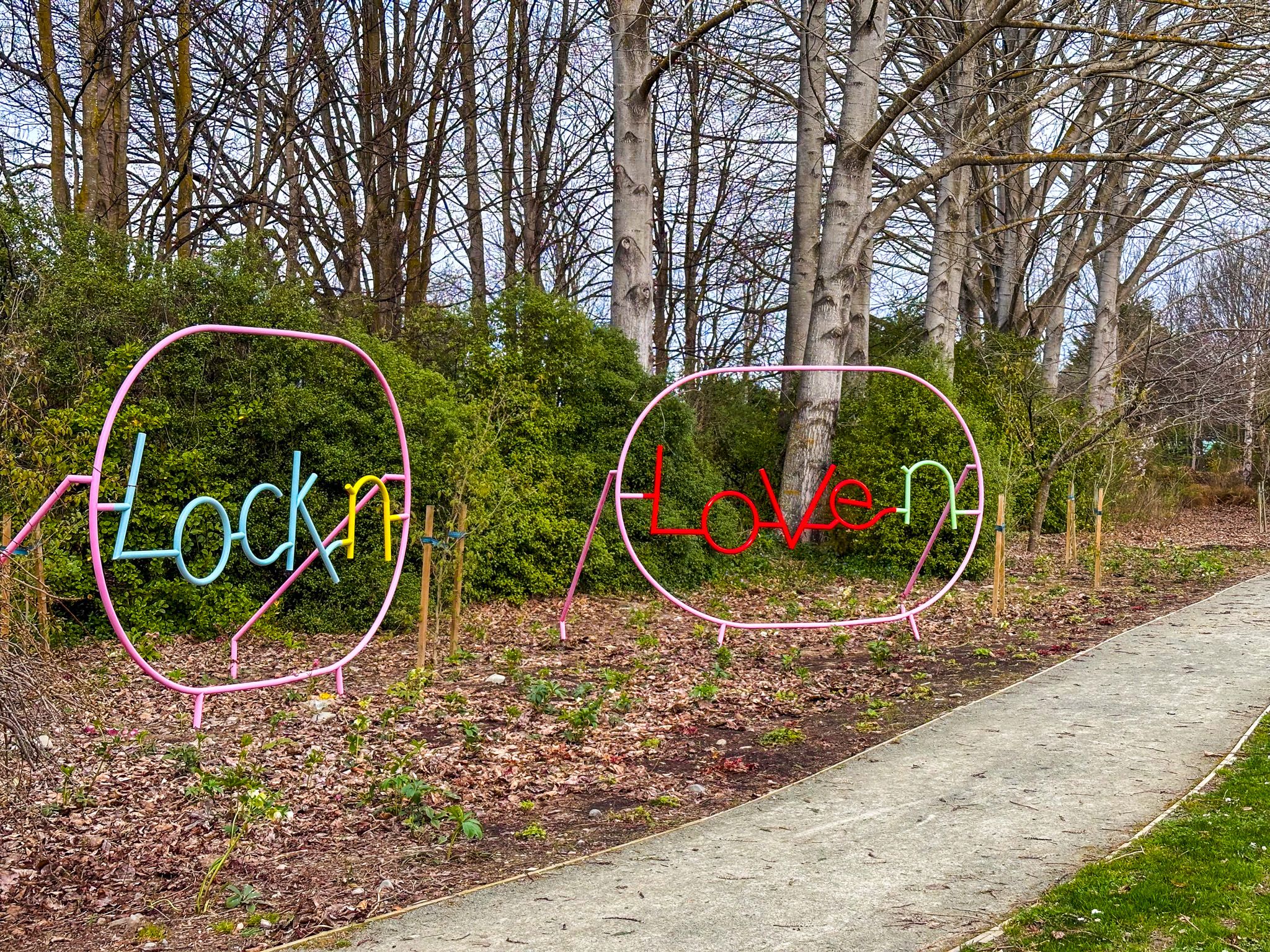
Originally a farm-service town and a café stop for long-distance buses, Geraldine has evolved into a destination focused on food, driven by growing tourist traffic. The Barkers Food Store and Eatery is a standout, offering a variety of local Barker Farm products. You can also sample local Talbot cheese and enjoy the unique atmosphere of the Running Duck Café. The town features several historical buildings, military and local history museums, and boutique shops.
Outdoor Attractions and Natural Beauty
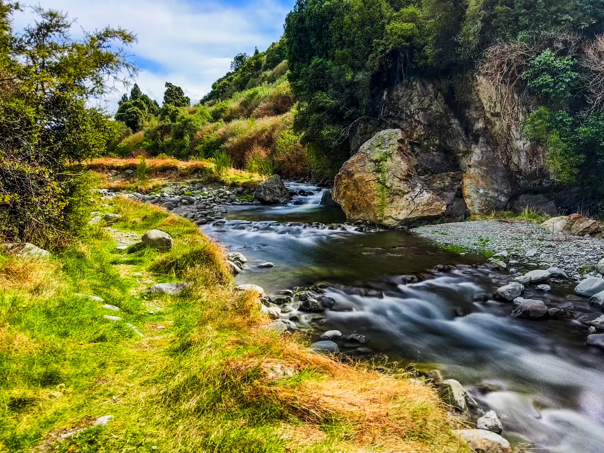
Geraldine is conveniently located near several outdoor attractions. Peel Forest, the Ashburton Lakes, and the Orari Gorge and Waihi Gorge provide excellent opportunities for hiking and camping.
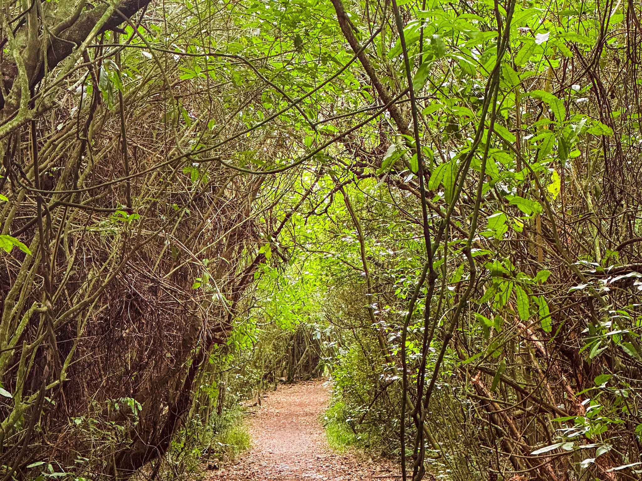
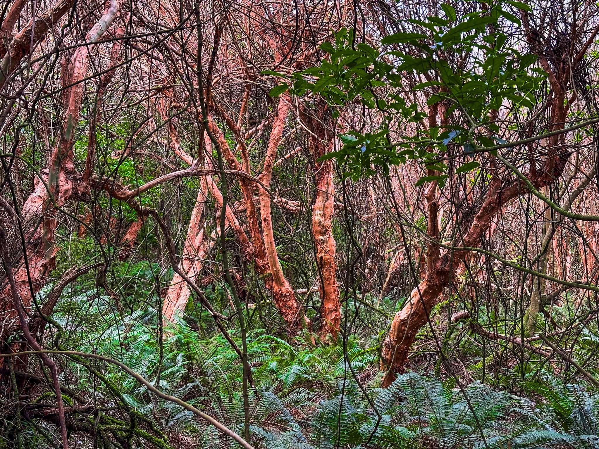
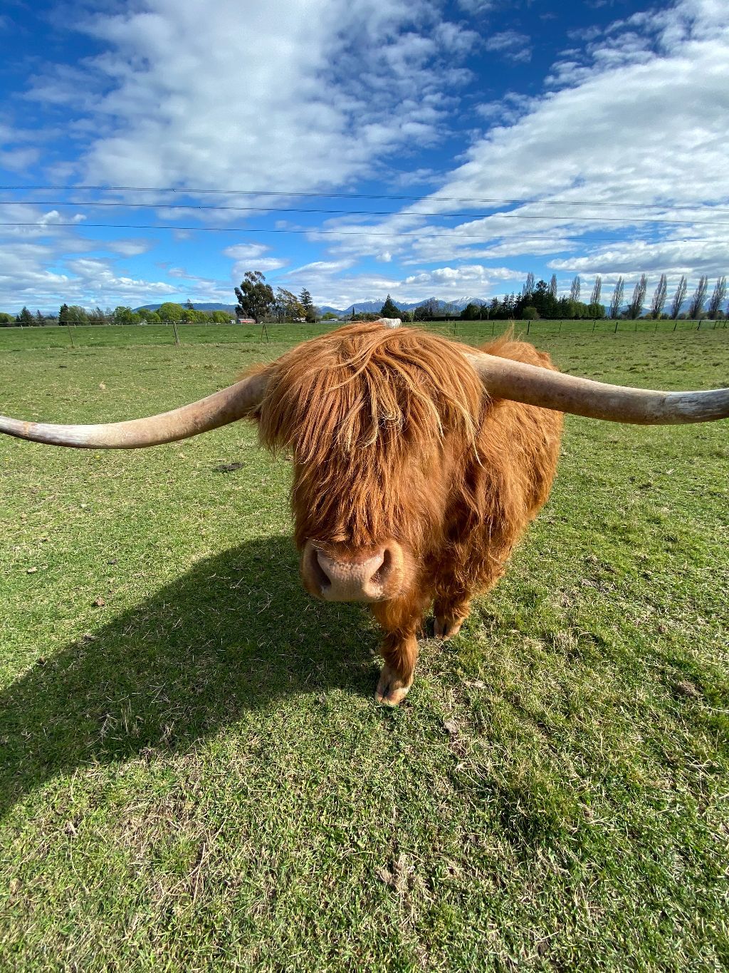
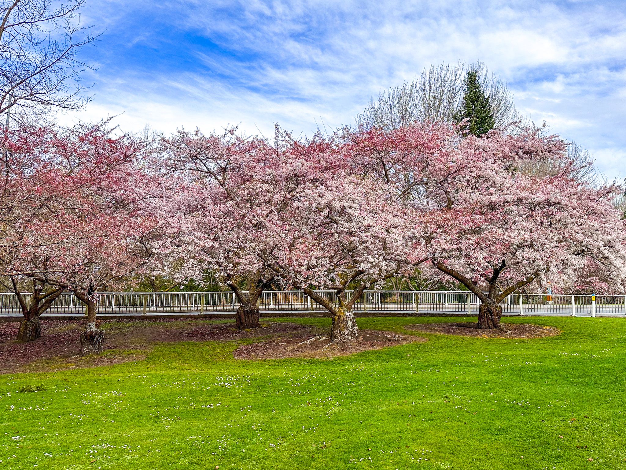
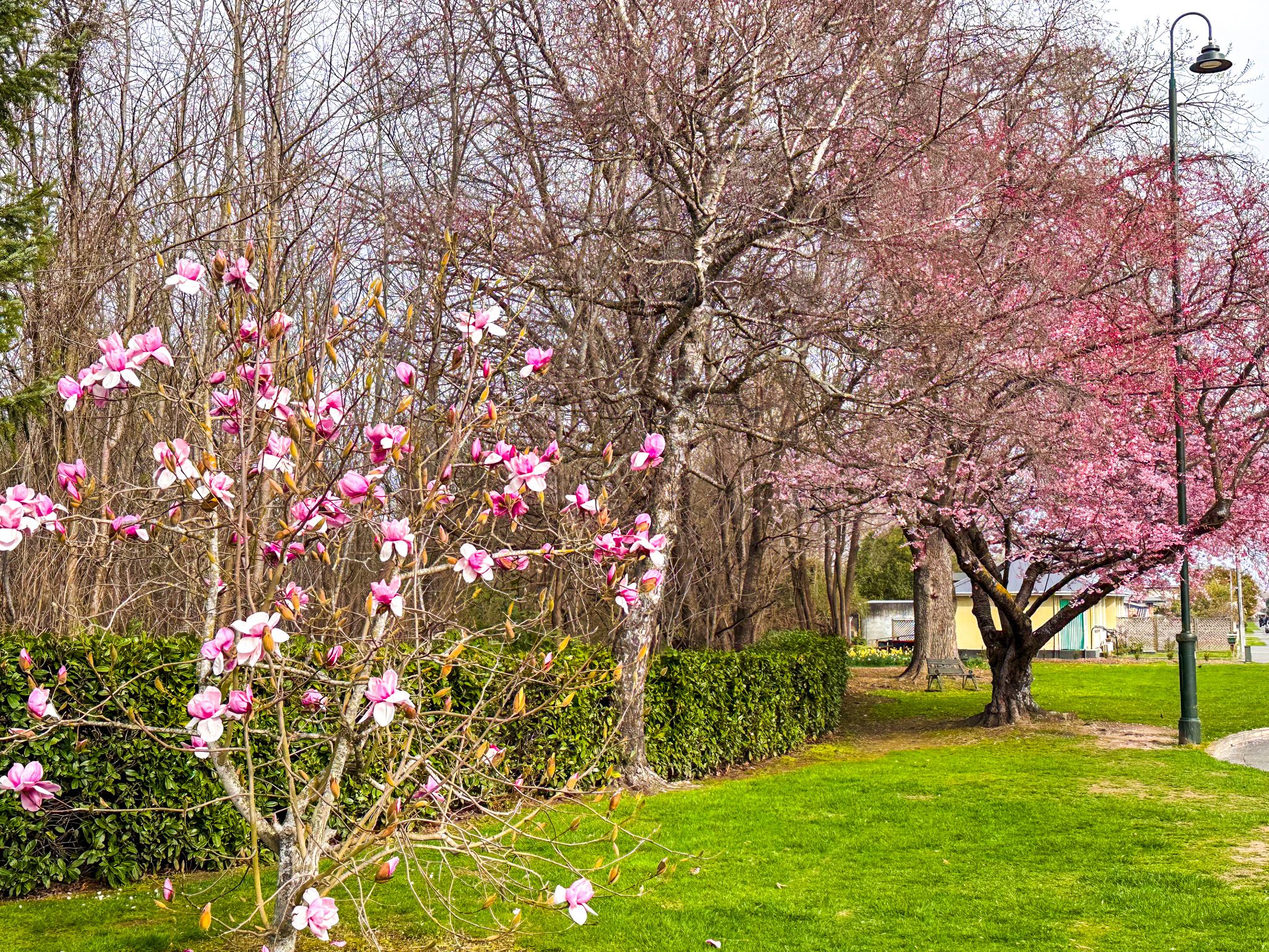
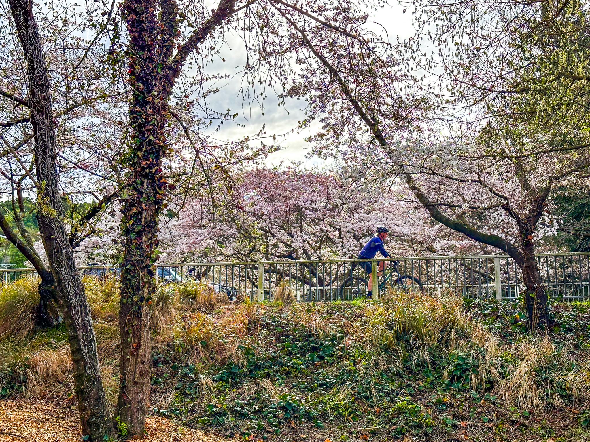
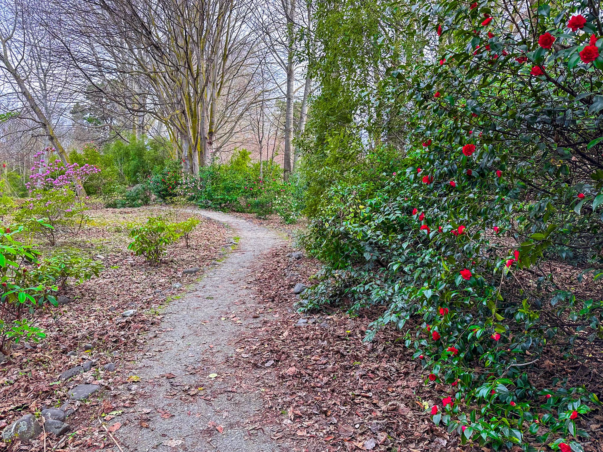
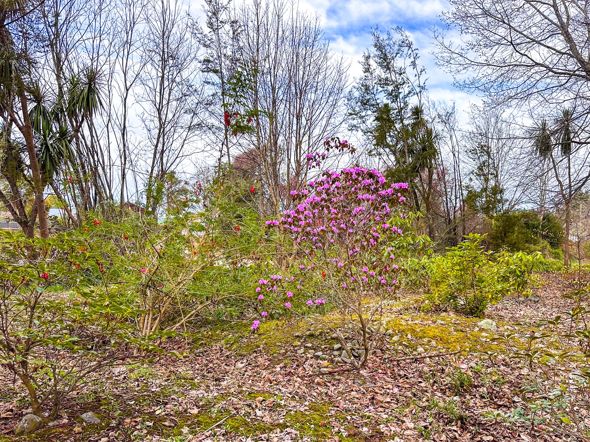
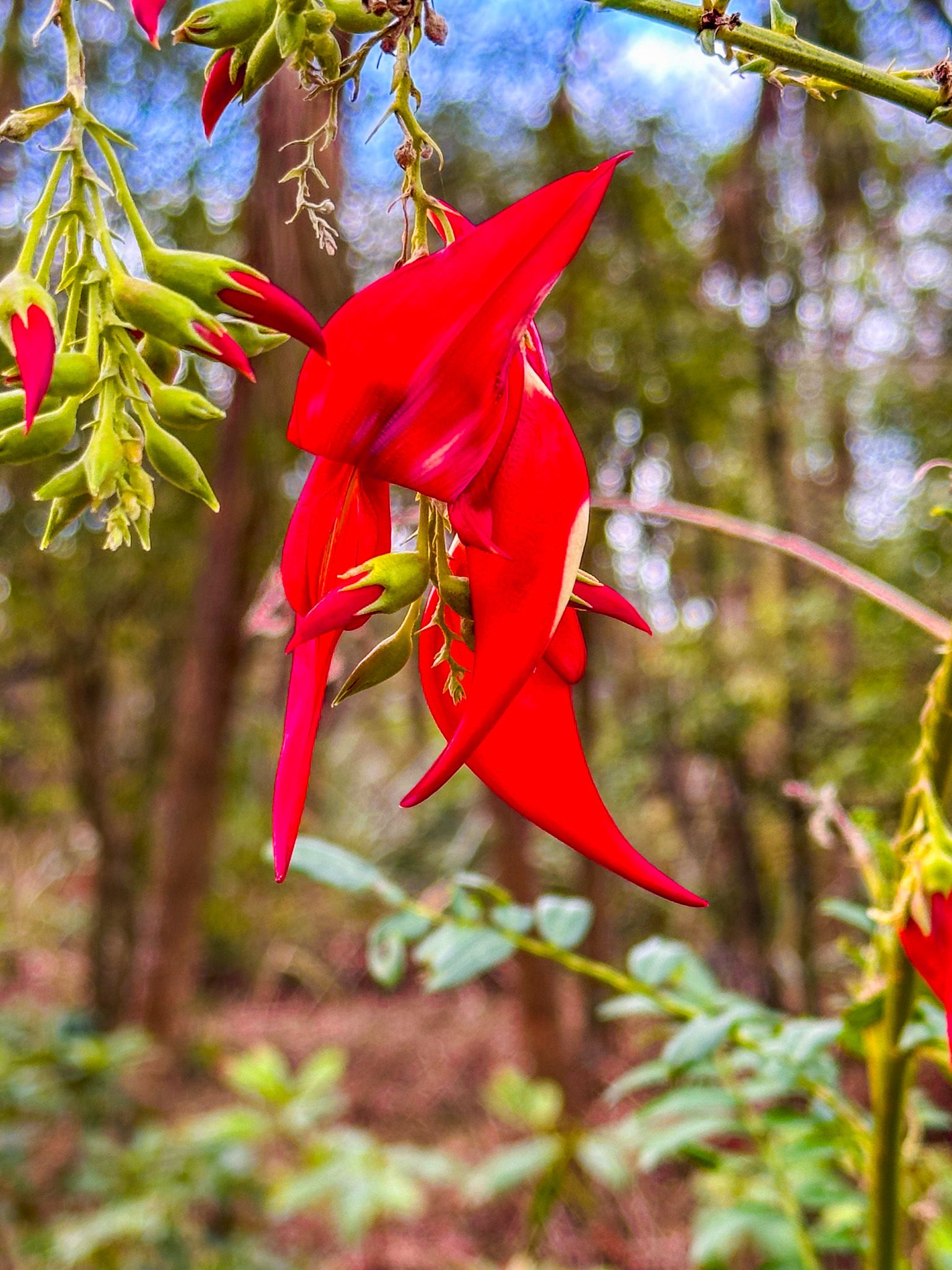
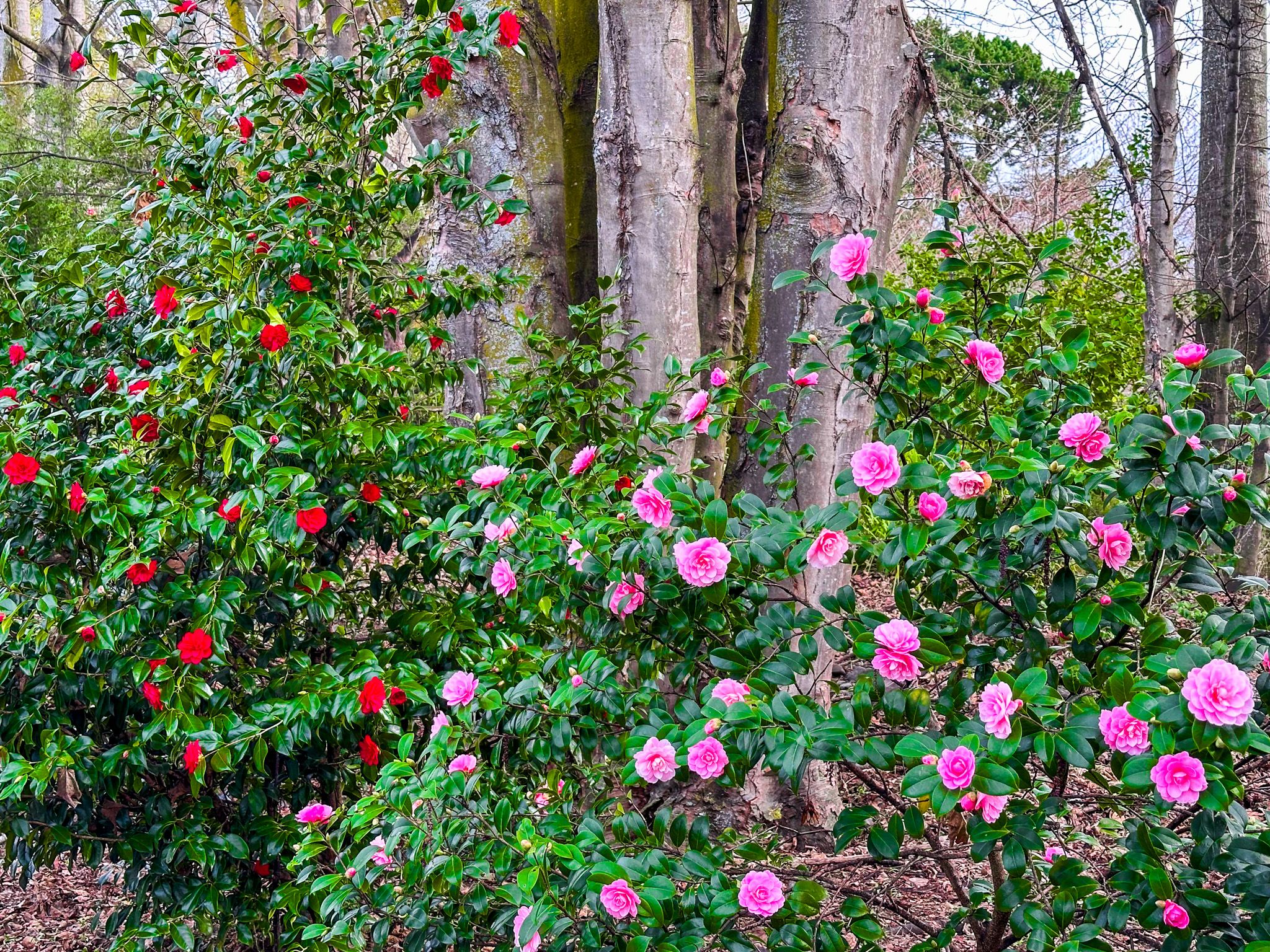
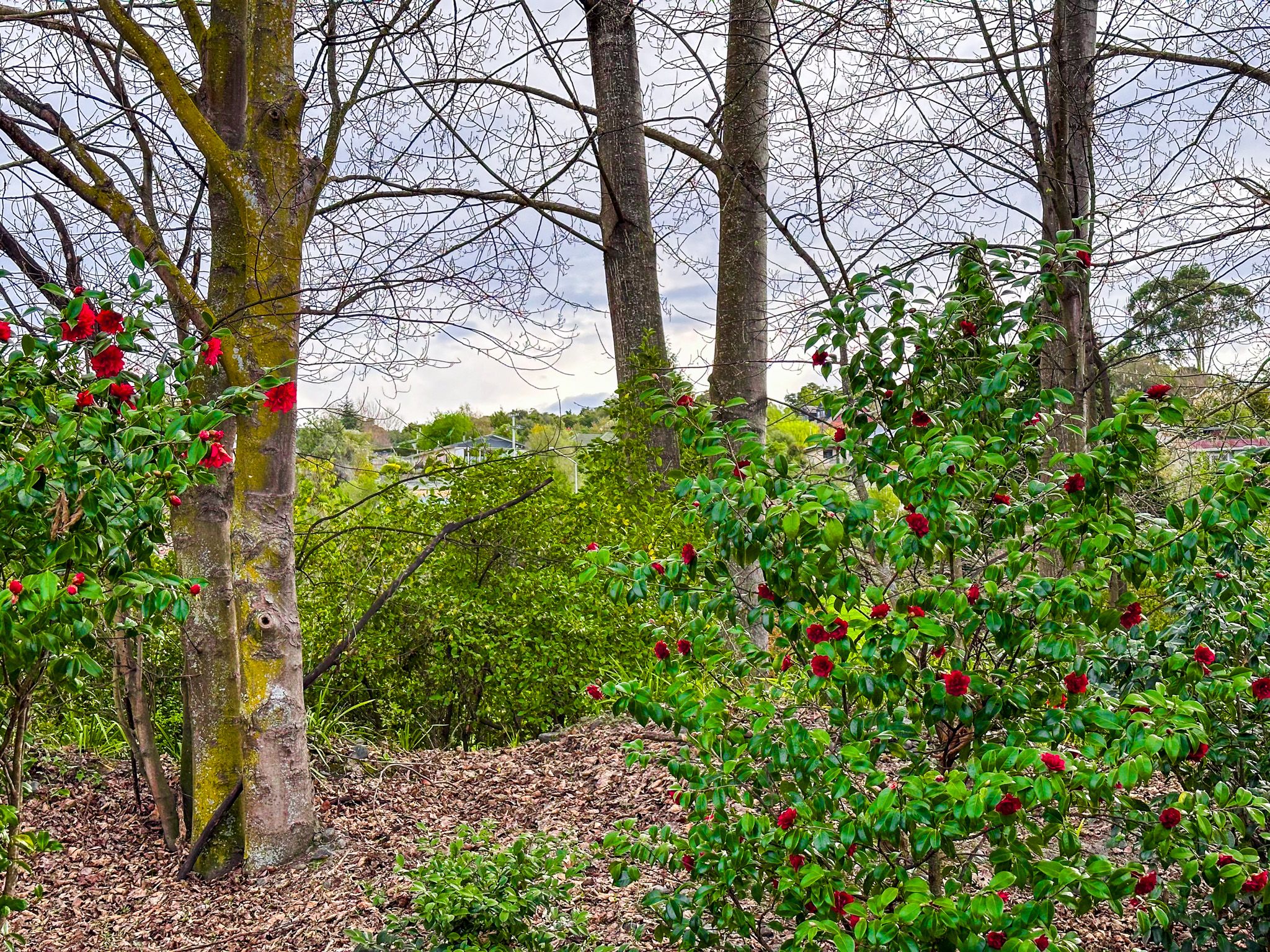
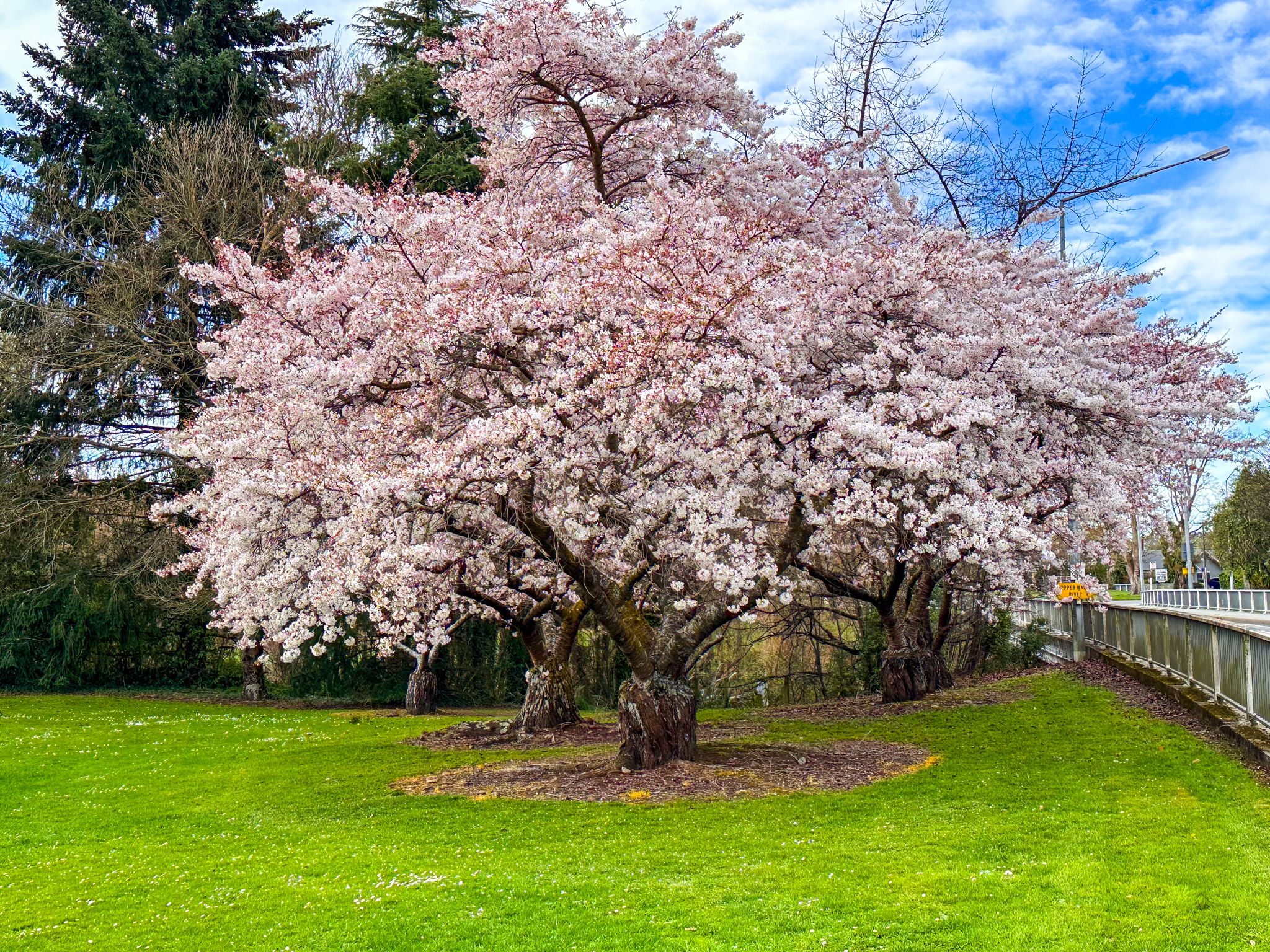
Within the town, a pleasant garden walk along the Waihi River offers a scenic loop that extends to the main street. Talbot Forest, a rare remnant of Canterbury lowland native forest, is just a short walk from the town centre. Springtime in Geraldine is particularly beautiful, with blossom trees, kaka beak, magnolias, camellias, and daffodils adorning the town and river walk.
Historical Significance
Before European settlement, Māori traversed the area, leaving evidence of their presence in nearby Beautiful Valley, Gapes Valley, and Kakahu. In 1848, the region became part of the Canterbury Purchase, or Kemp's Deed, where the Crown acquired over 5.2 million hectares from Ngāi Tahu. Europeans soon began farming the region and milling the ancient native trees around the foothills of the Canterbury Plain.
In 1854, Thomas Cass and Guise Brittan proposed a town next to a native forest, initially named Talbot Forest. The town was renamed Fitzgerald in 1857, in honour of James FitzGerald, the first Superintendent of the Canterbury Province, but was soon changed to Geraldine, reflecting the Fitzgerald family name from Ireland.
The town's first resident, Samuel Hewlings, a government surveyor, built a basic bark hut where the police station now stands. A tōtara tree, planted to commemorate the birth of his daughter with his wife, Nga Hei, still stands opposite the police station. Initially a small settlement, Geraldine expanded in the 1860s as streets were laid out and nearby hamlets were connected. Today, the town has a population of approximately 3,100.
Getting to Geraldine
To reach Geraldine from Christchurch, take State Highway 1 south to State Highway 79. The drive is 104 minutes and 134 km. An alternative scenic route is to take State Highway 73 west to Darfield, then continue on State Highway 77 across the Rakaia River, then follow signs to Mt Somers, Mayfield, Arundel and Geraldine. This route takes you close to the base of the Southern Alps and is 130 minutes and 169 km.
Continuing on SH79 takes you to Fairlie and the Mackenzie Country. Nearby, you can visit Lake Opuha, Burkes Pass and Mackenzie Pass.