Exploring Pelorus Bridge
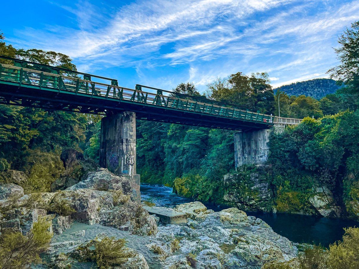
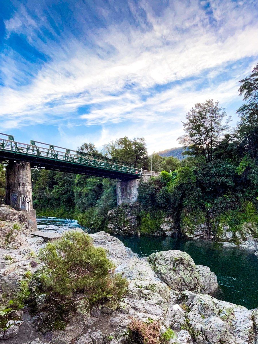
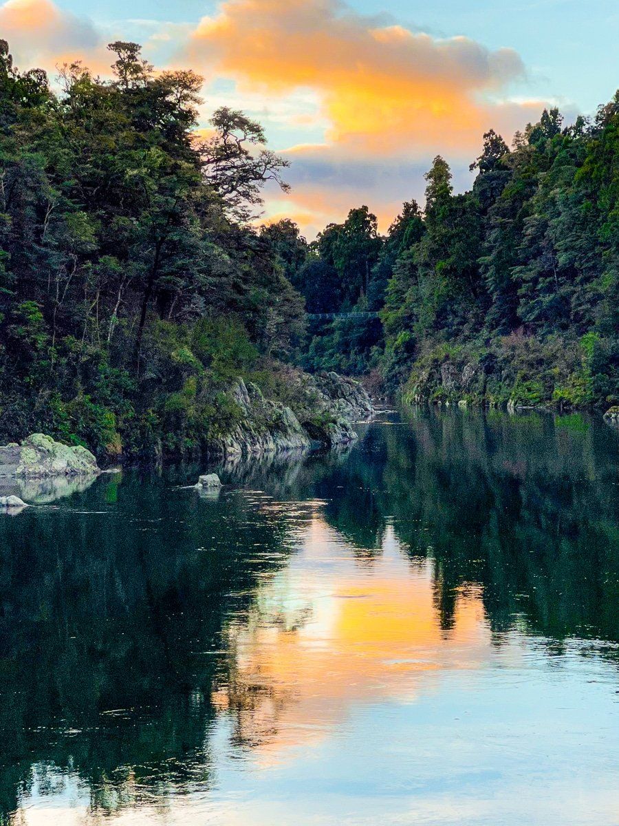
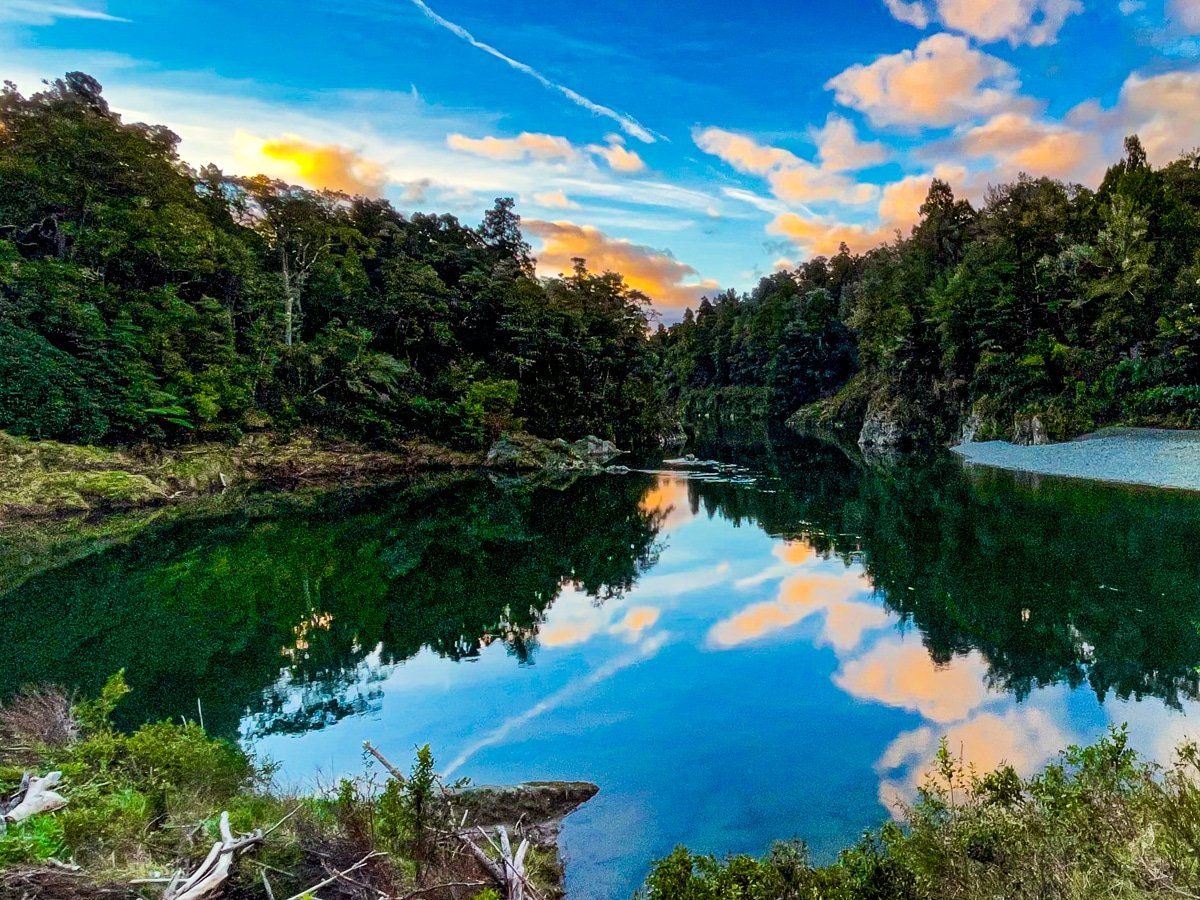
Situated along State Highway 5 between Blenheim and Nelson, Pelorus Bridge is a captivating stop with more than just a scenic view. This area is known for its historic bridge, which provides access to the Te Hoiere Pelorus River and Te Araroa. The site also features a café and a campground, making it an ideal spot to relax and explore.
Walking and Hiking Trails
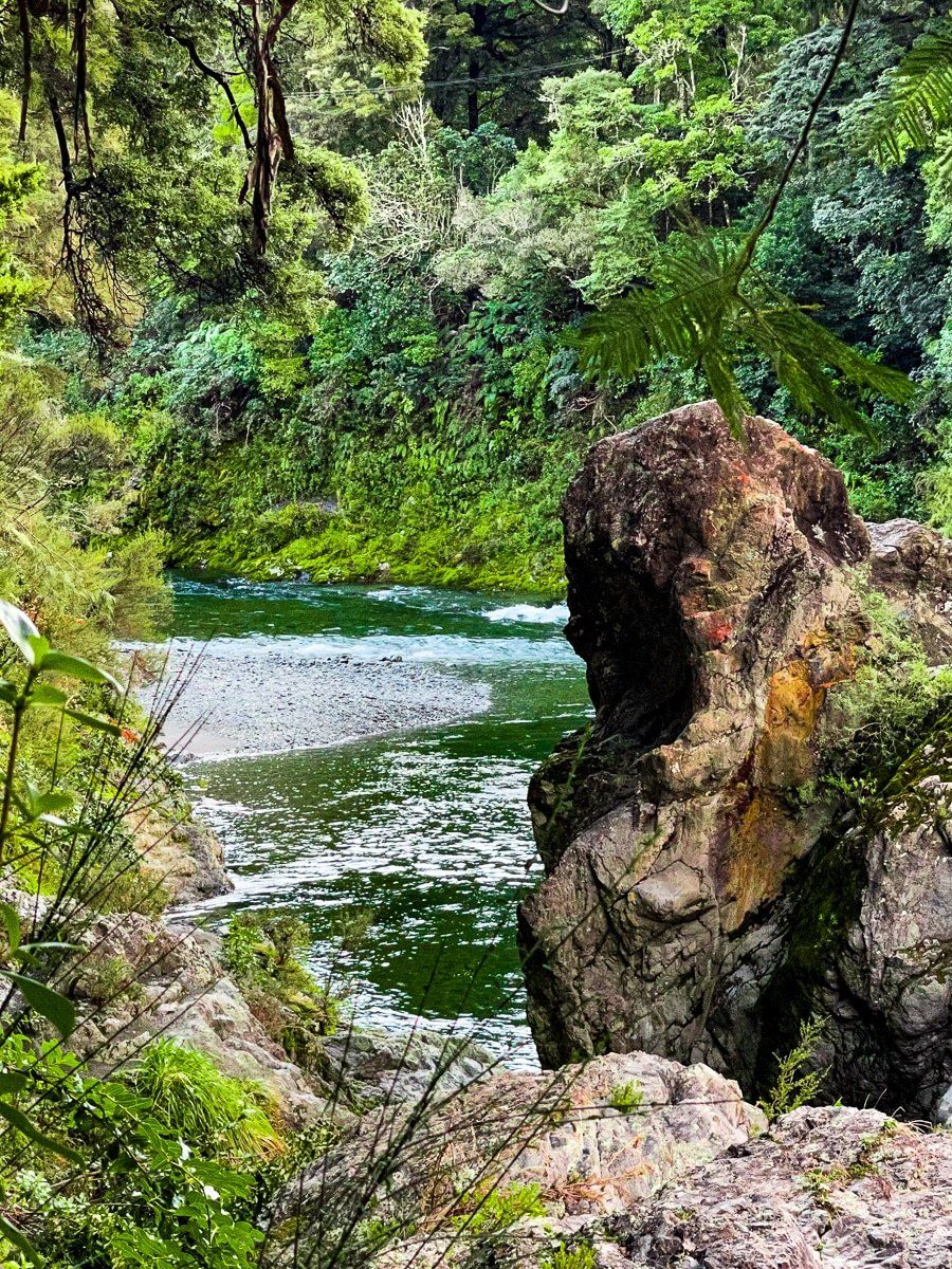
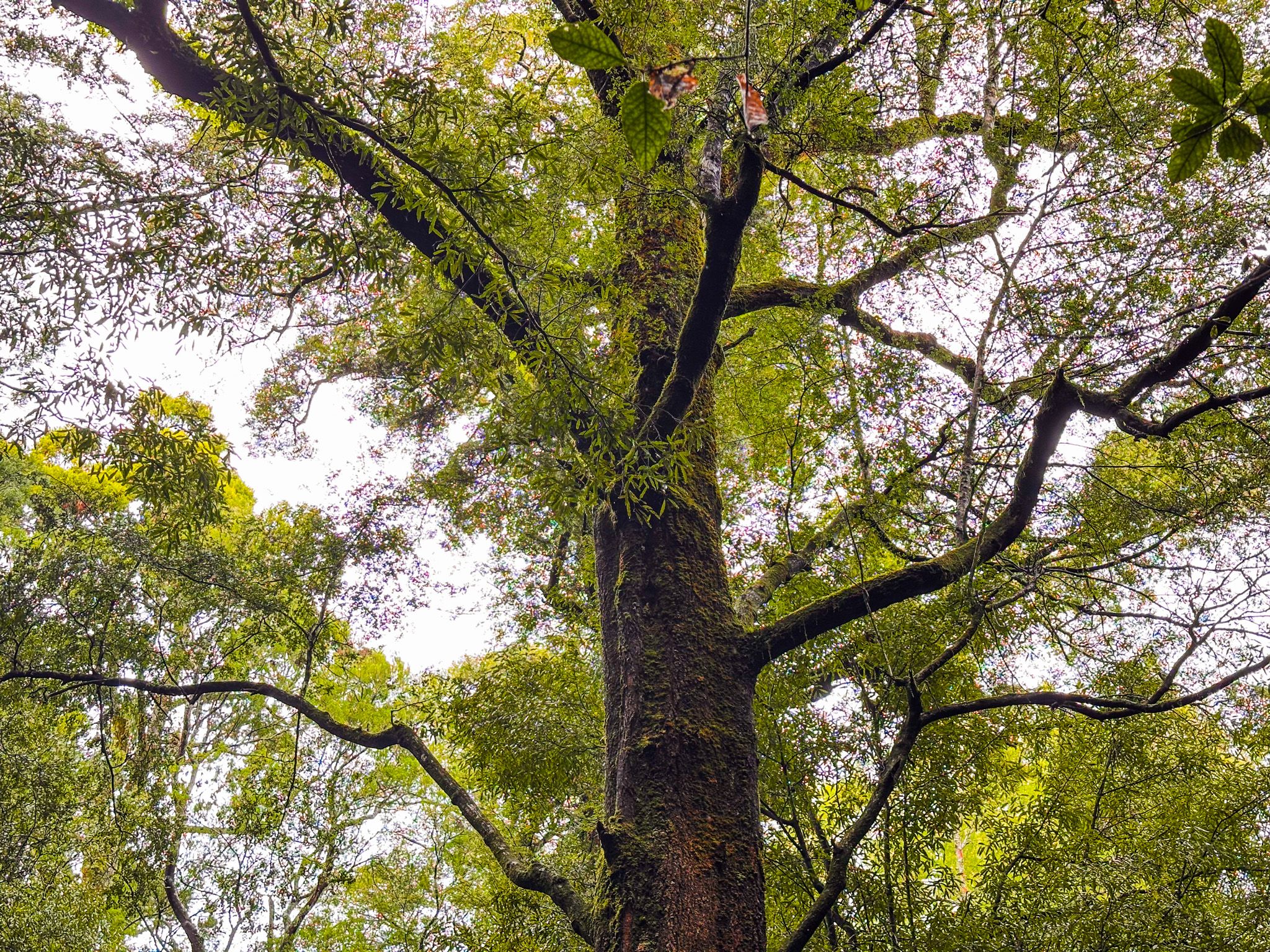
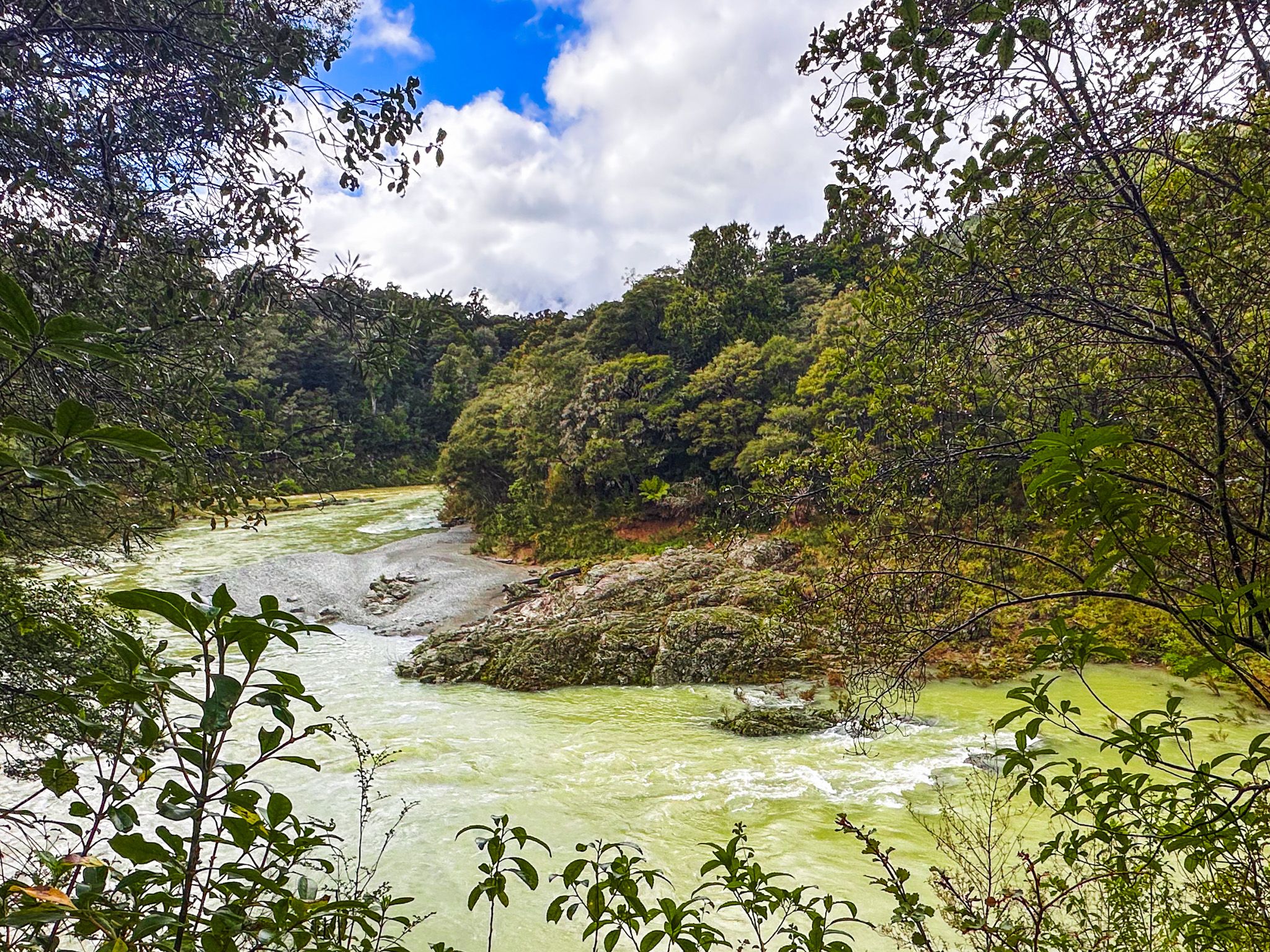
Pelorus Bridge is home to several walking and hiking trails that cater to different preferences and time constraints. You can choose from shorter tracks on either side of the river, which take 30 minutes to 2 hours to complete. These include the Circle Loop Track, the Tawa Walk, the Elvy Waterfalls Track and the Tōtara Walk.
For those seeking a more challenging hike, the longer loop track to trig K takes up to four hours. This trail leads to the top of a 417-metre hill behind the car park, offering rewarding views.
Quick Stop for Scenic Views
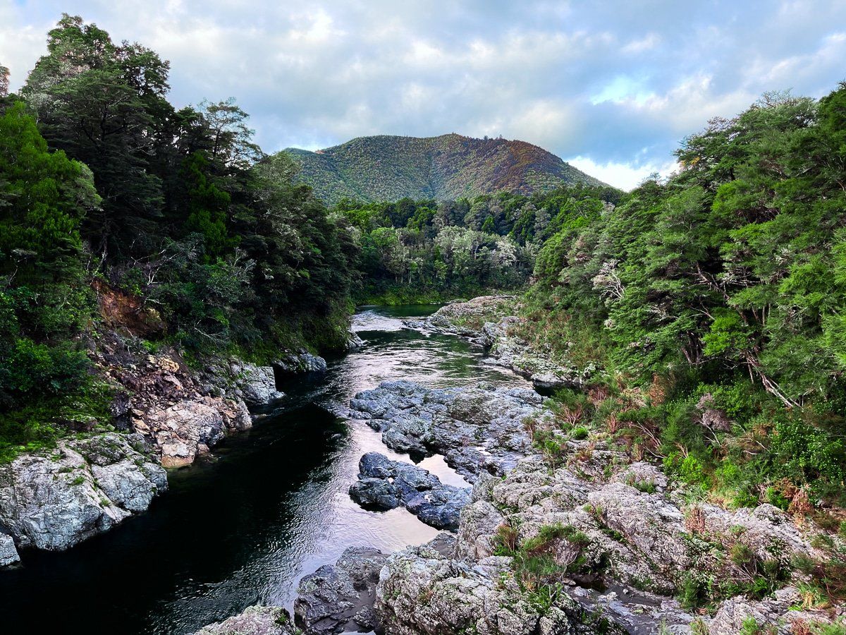
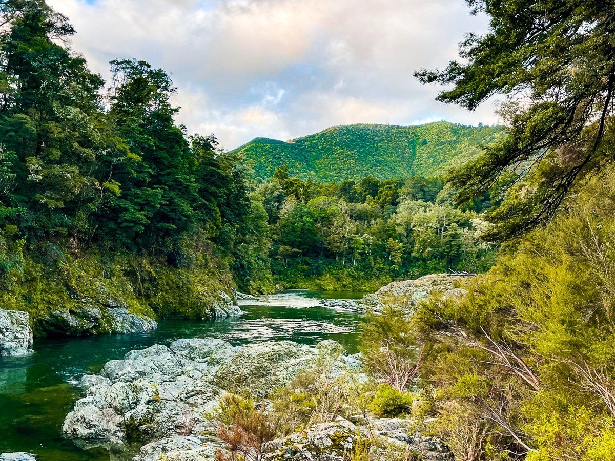
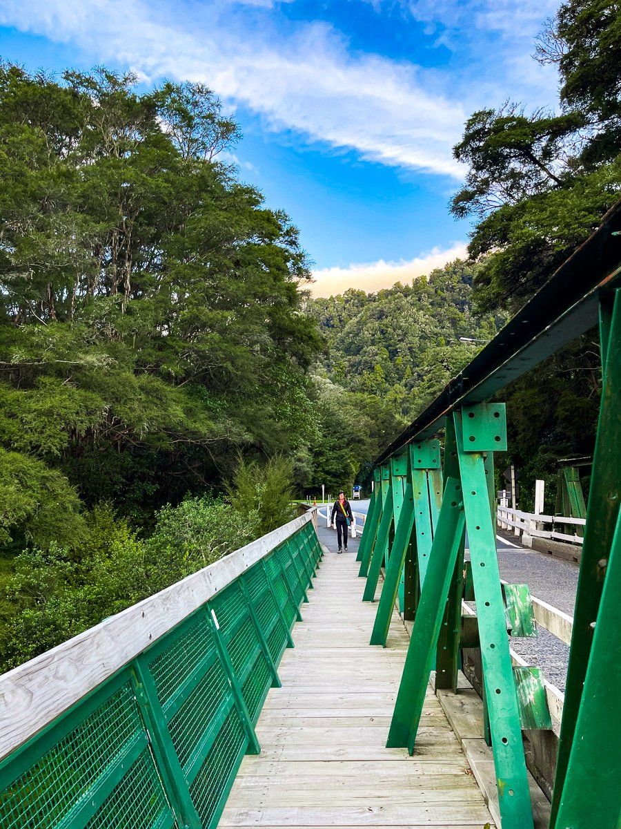
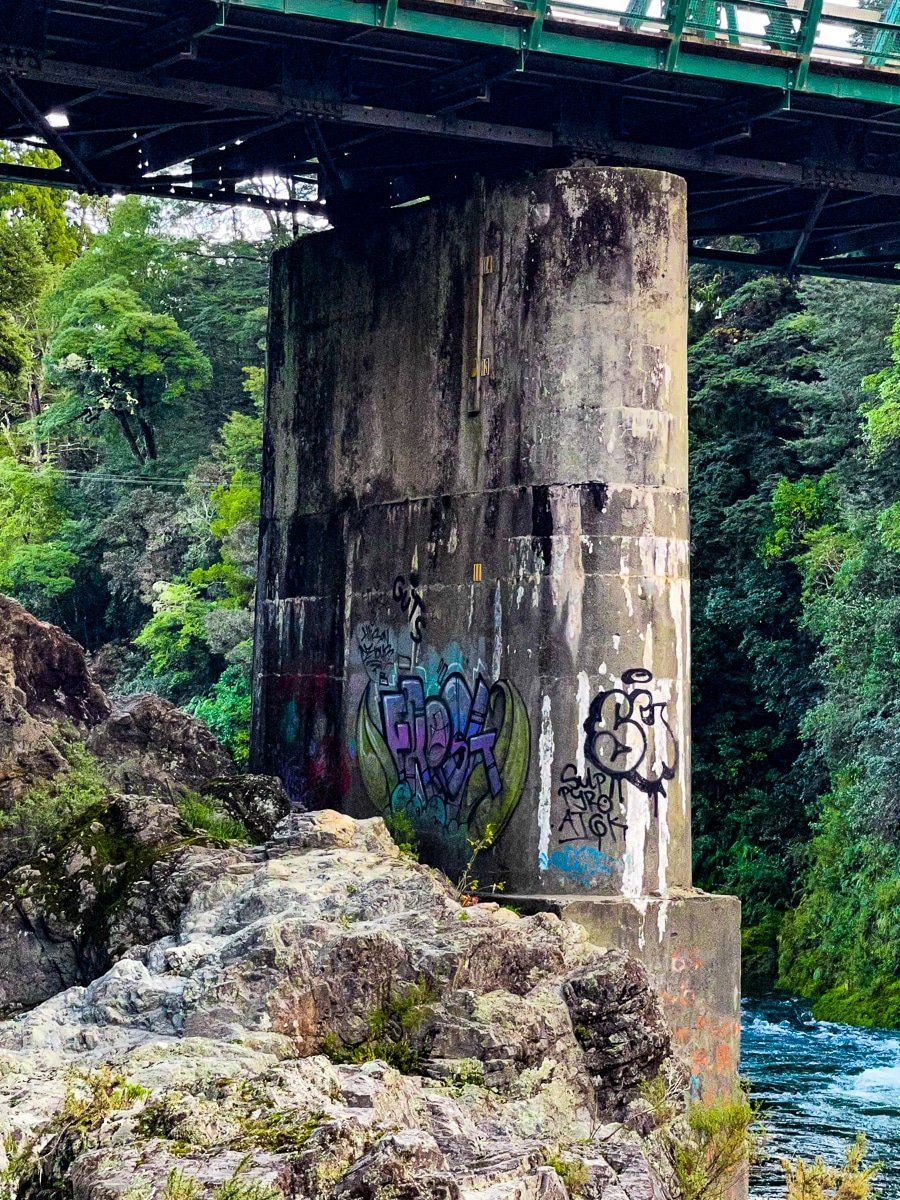
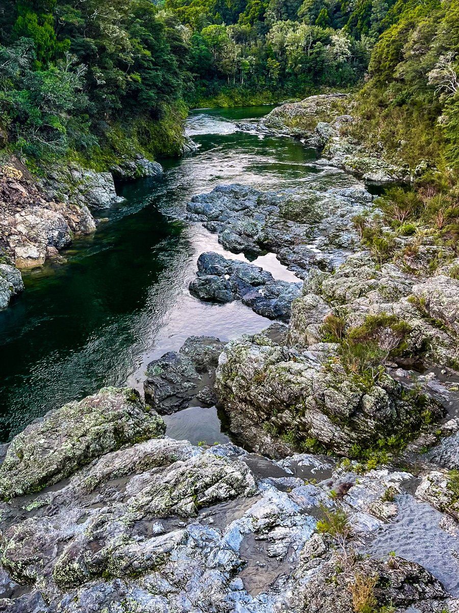
If you're pressed for time, a quick walk onto the bridge via the footpath on the west side provides a stunning view of the river gorge. Be prepared for a slight tremor when trucks pass by, as the bridge can shake. Additionally, steps near the bridge provide access to the rocks beside the river, allowing for a closer experience.
How to Get There
To reach Pelorus Bridge, drive along State Highway 5 between Blenheim and Nelson. The bridge is easily accessible from the highway, making it a convenient stop on your journey. The drive is 1 hour and 62 km from Nelson, 53 minutes and 66 km from Blenheim, and 20 minutes from Havelock.
Nearby, you can also visit Canvastown and Wakamarina Road, Mt Takorika Waterfall Track and Pelorus Sound Viewpoint.