Exploring Raetahinga Point
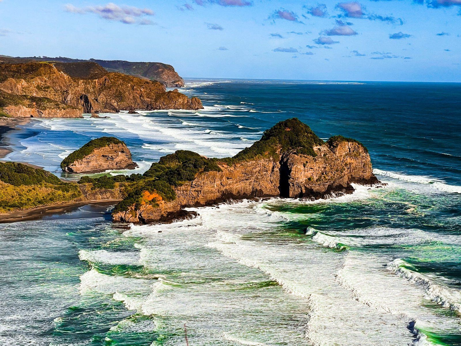
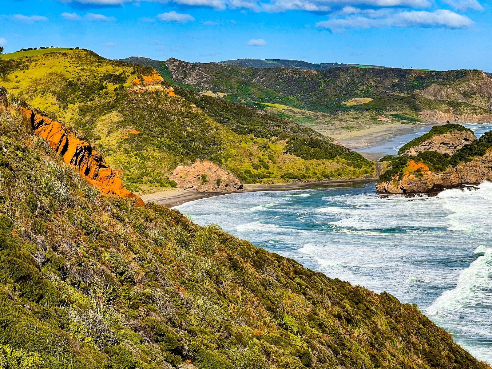
Raetahinga Point at the north end of O’Neill Bay in the Waitākere Ranges, Auckland, is a scenic destination with stunning views over O’Neill Bay and towards Muriwai. Although the Te Henga Walkway beyond Raetahinga Point is closed due to slips, the hike to this point is still worthwhile for its breathtaking coastal vistas.
Hike to Raetahinga Point
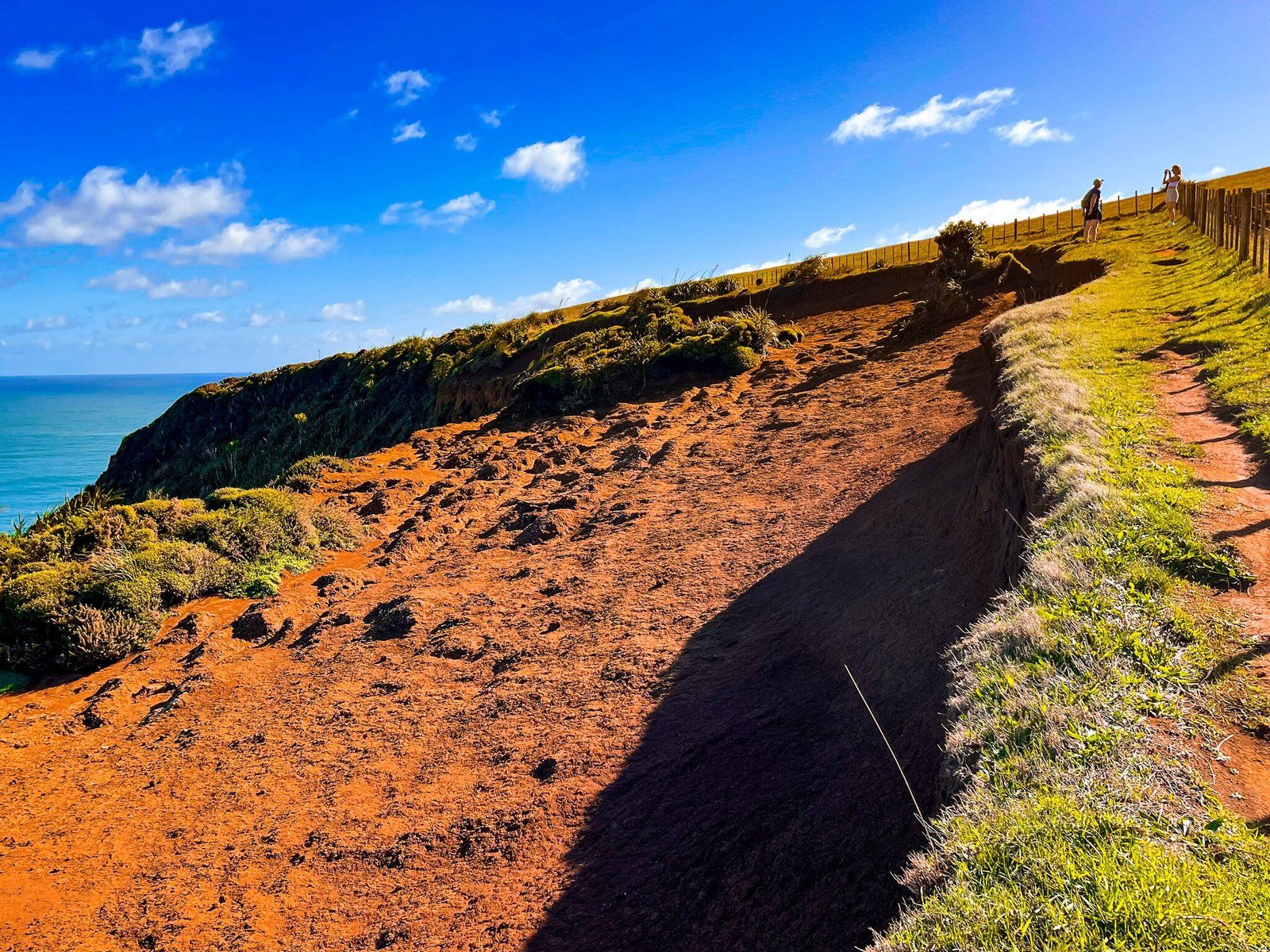
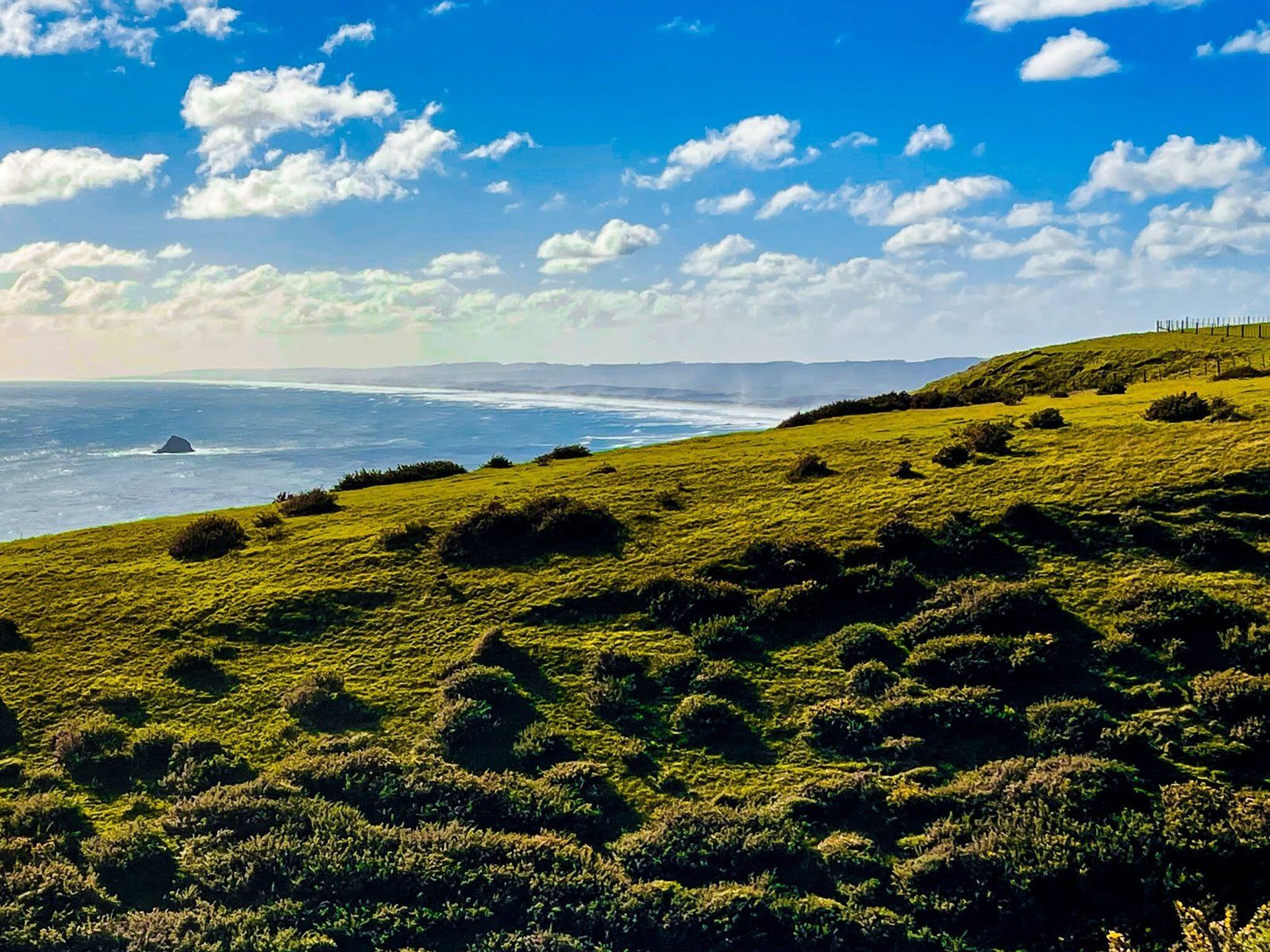
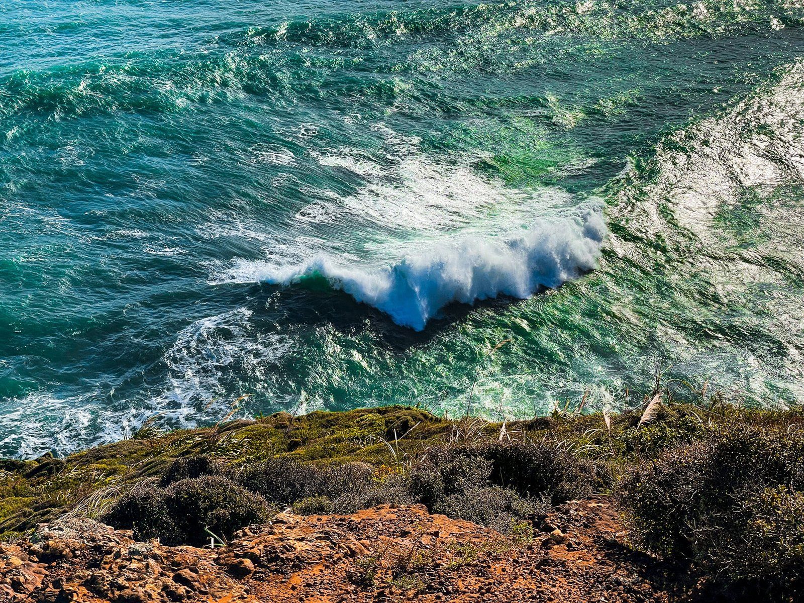
Starting from O’Neill Bay, there is a gap in the scrub-covered dunes. Walk through the veer left. It starts off as sand, eventually turning to clay as you climb higher. The track gradually, then more steeply, ascends to a high point of 180 metres at the top of the cliff above O’Neil Bay. The sidle up the side of the cliff is mostly straightforward, on a narrow clay trail, with coastal shrubs on either side. There are no threatening drop-offs.
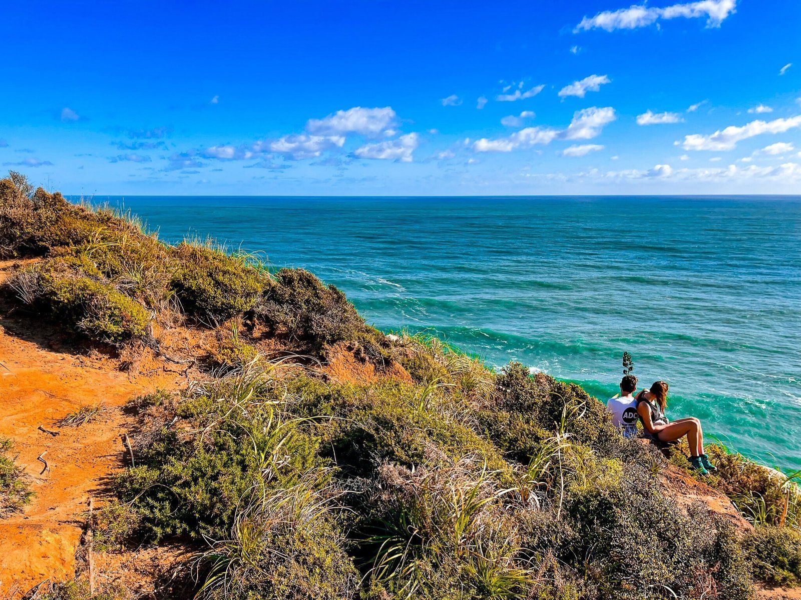
It then follows the line of the cliff edge, with some stunning orange-to-red eroded areas. For the last 300 metres, it drops to 100 metres above sea level at the point, following a narrow ridge. Along the way, you will be treated to spectacular views over O’Neill Bay, with glimpses extending towards Muriwai.
It takes approximately 45 minutes to reach Raetahinga Point.
Views from Raetahinga Point
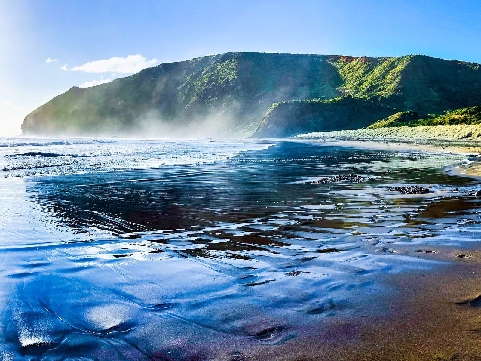
Upon reaching Raetahinga Point, a short walk on a clay surface leads to some of the best viewpoints. From here, the views south along O’Neill Bay and further to Te Henga are truly impressive. However, be prepared to share this popular spot with others, especially on pleasant weekends.
Getting to O’Neill Bay
To access O’Neill Bay from Downtown Auckland, take the western motorway to the Lincoln Road off-ramp. Turn south onto Lincoln Road, then continue to the turnoff west onto Universal Drive. Follow this road, which becomes Swanson Road, then Scenic Drive. After 2.5km, you will see the turnoff to Te Henga Bethells Beach onto Te Henga Road; follow this, then Bethells Road to the beach car park. The drive takes 41 minutes and is 36 km.
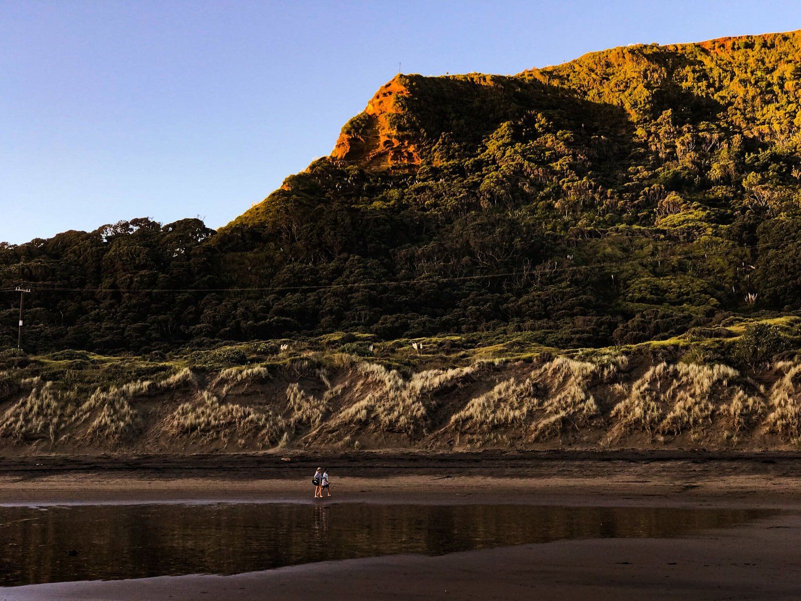
From the car park, walk to the beach, alongside the Waitakere River, then cross over the river as it approaches the surf. Continue north past Waitakere Bay and cross the dune at the base of Erangi Point into O’Neill Bay. Continue until you spot the track access, about 300 metres along the beach.
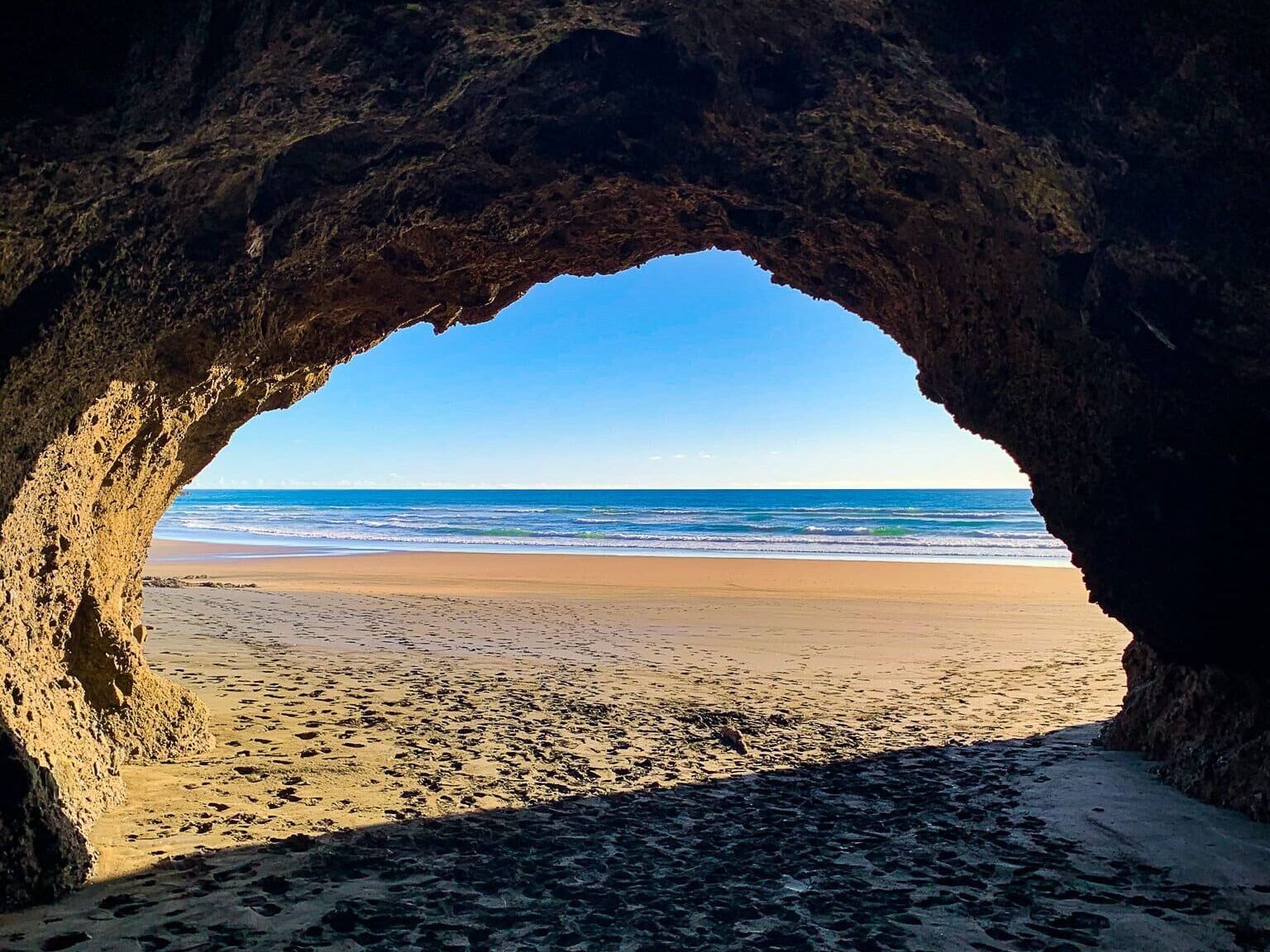
Nearby, you can also explore Te Henga Caves, walk south to Raeakiaki Point, and, at low tide, walk around the point to Wigmore Bay and Momori Point.