Exploring Rakiura Stewart Island
Rakiura Stewart Island, situated at New Zealand's southernmost point, is a rare opportunity to experience the country's natural environment as it might have been before human settlement. Despite its remote location, the island strikes a balance between untouched wilderness and accessible civilisation.
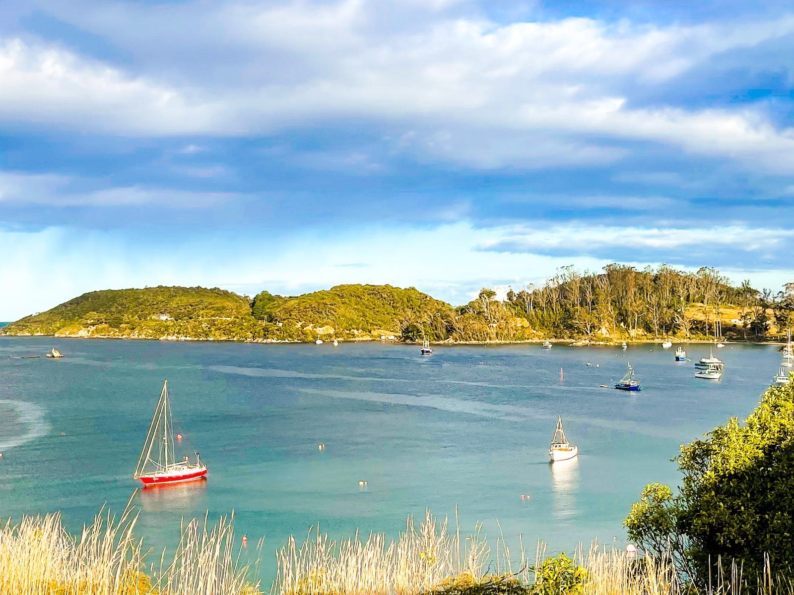
Discovering Oban and Its Wildlife
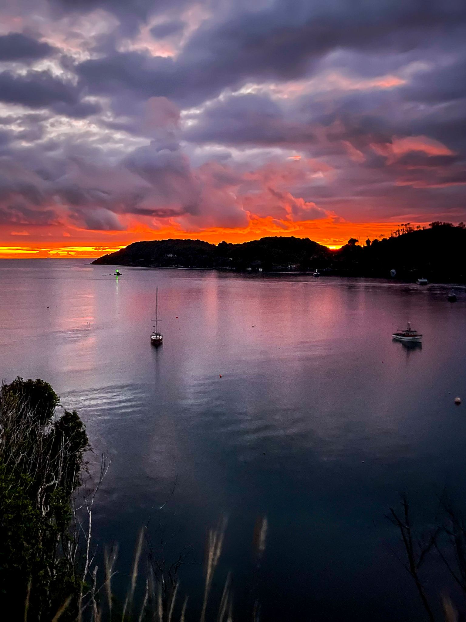
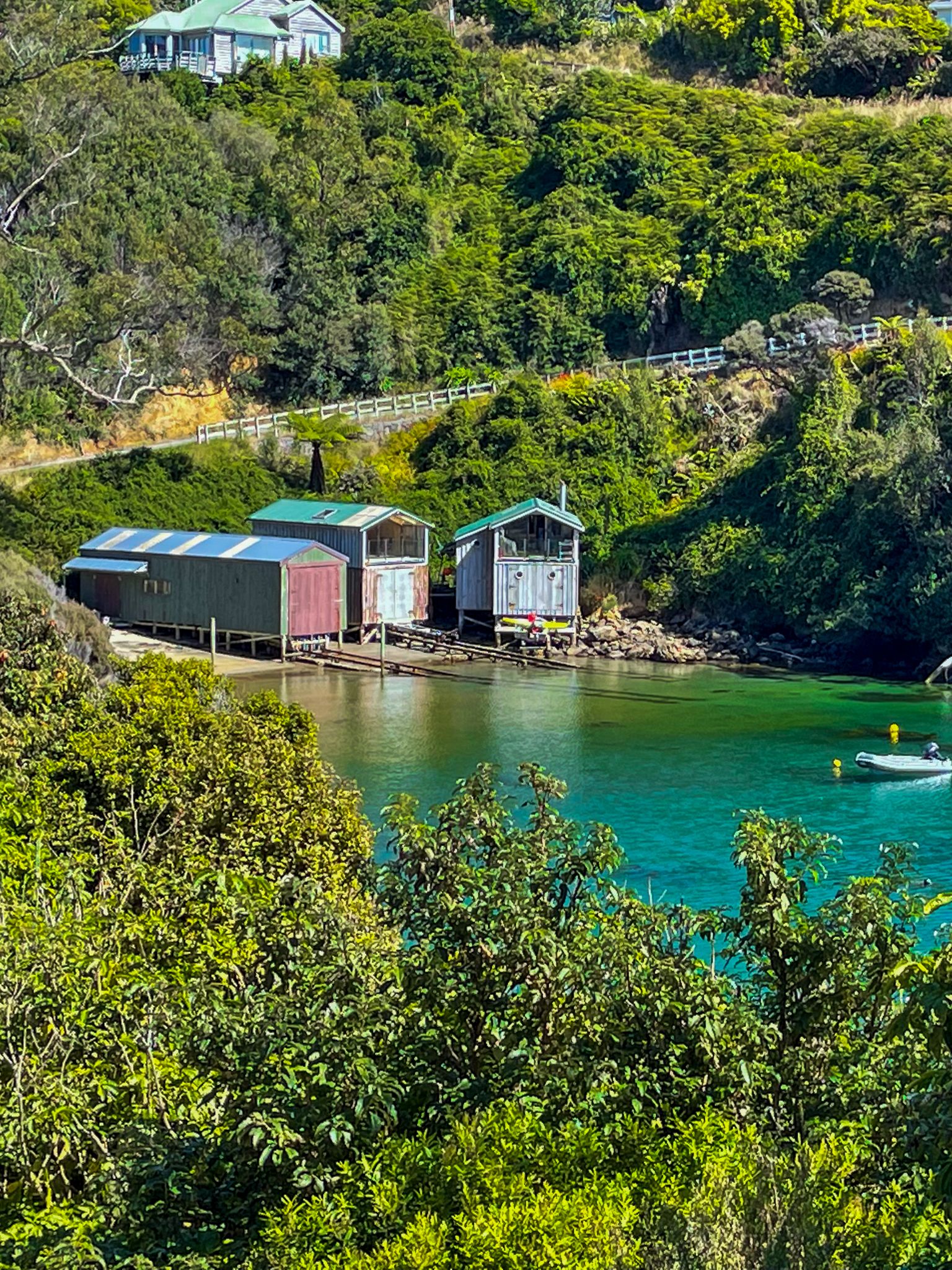
When you arrive on the island, you'll be welcomed by the quaint, rustic charm of Oban and Halfmoon Bay, reminiscent of an old New Zealand fishing village. While fishing remains a significant activity, it now primarily serves tourists.
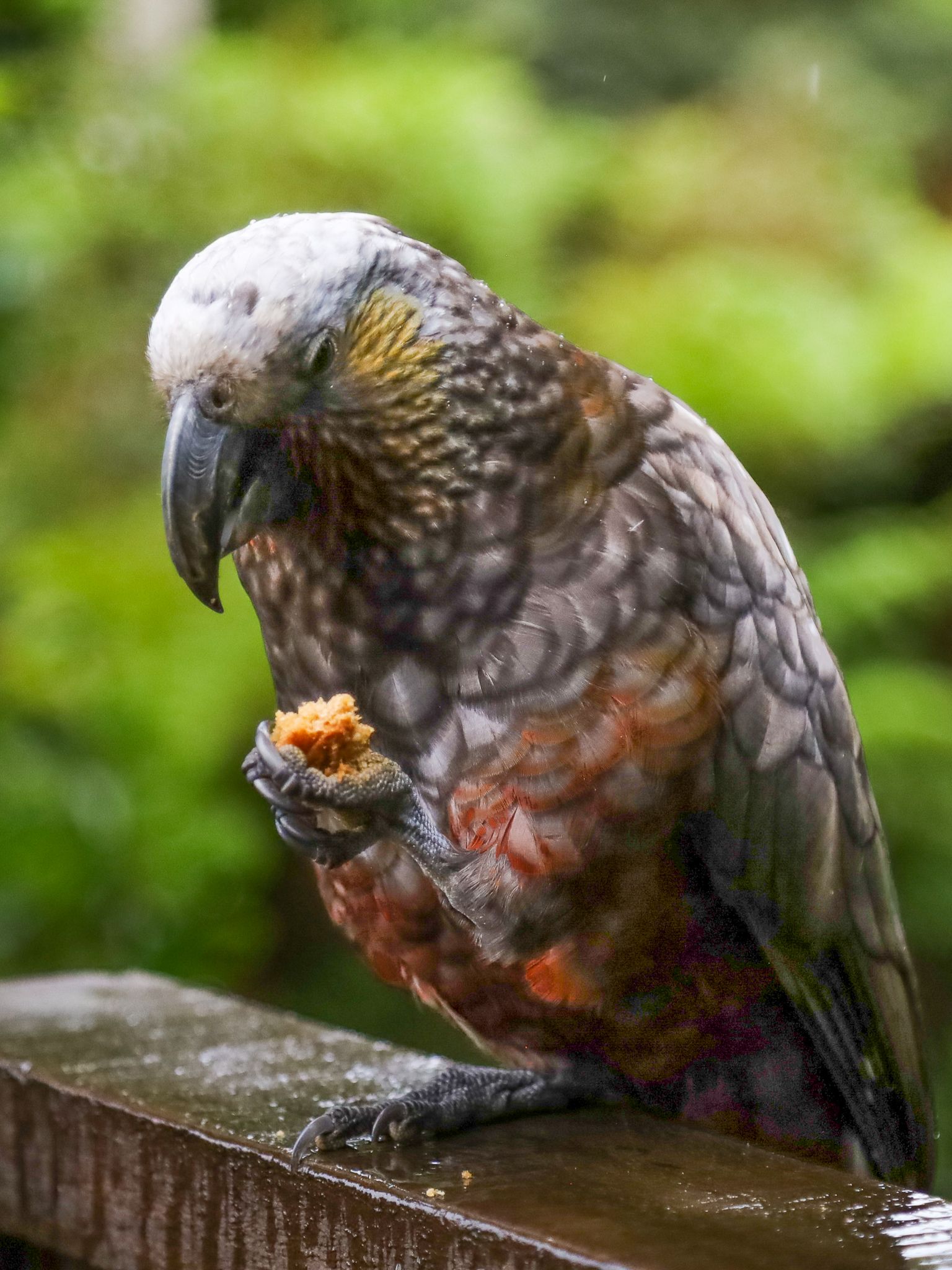
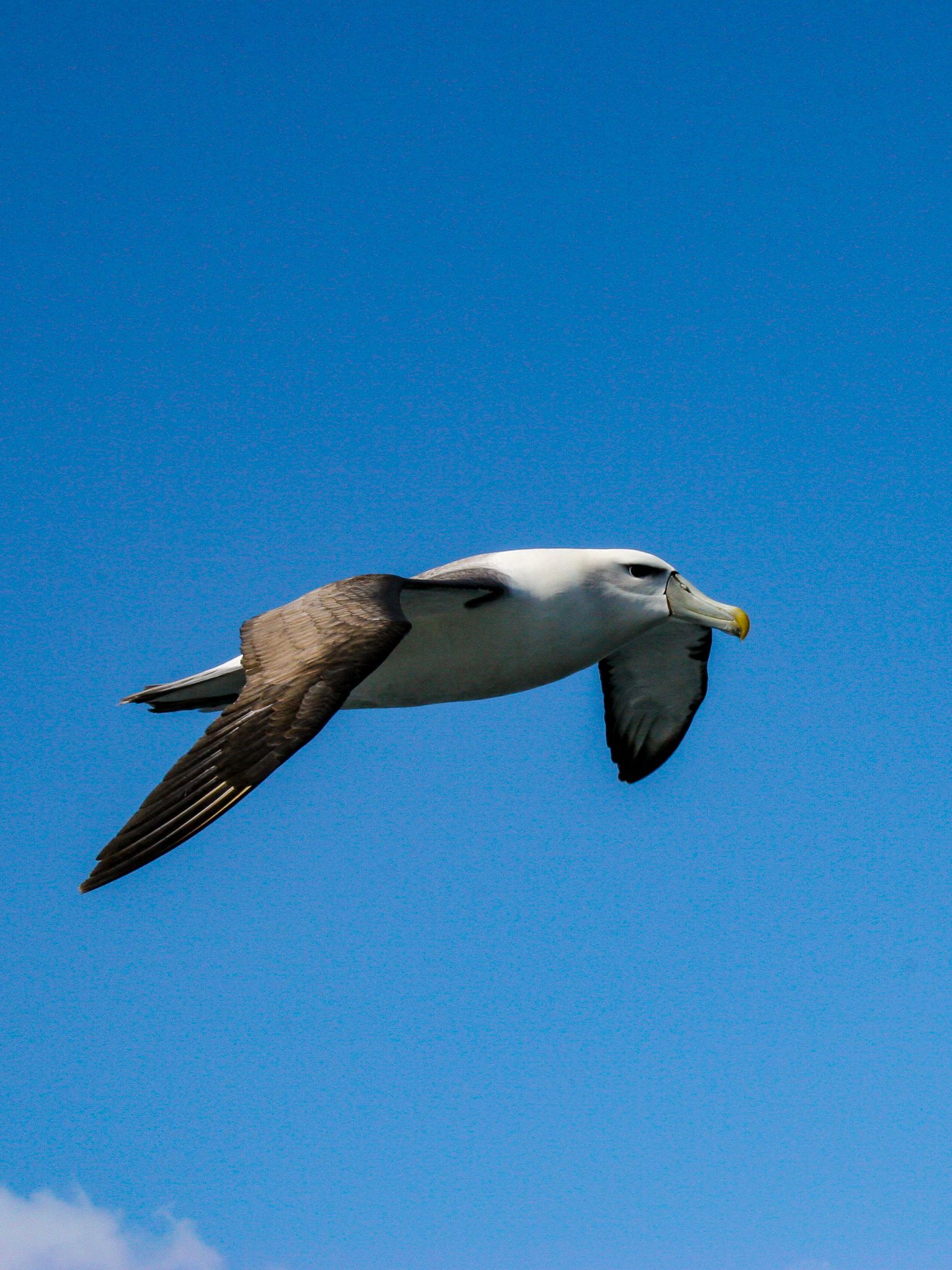
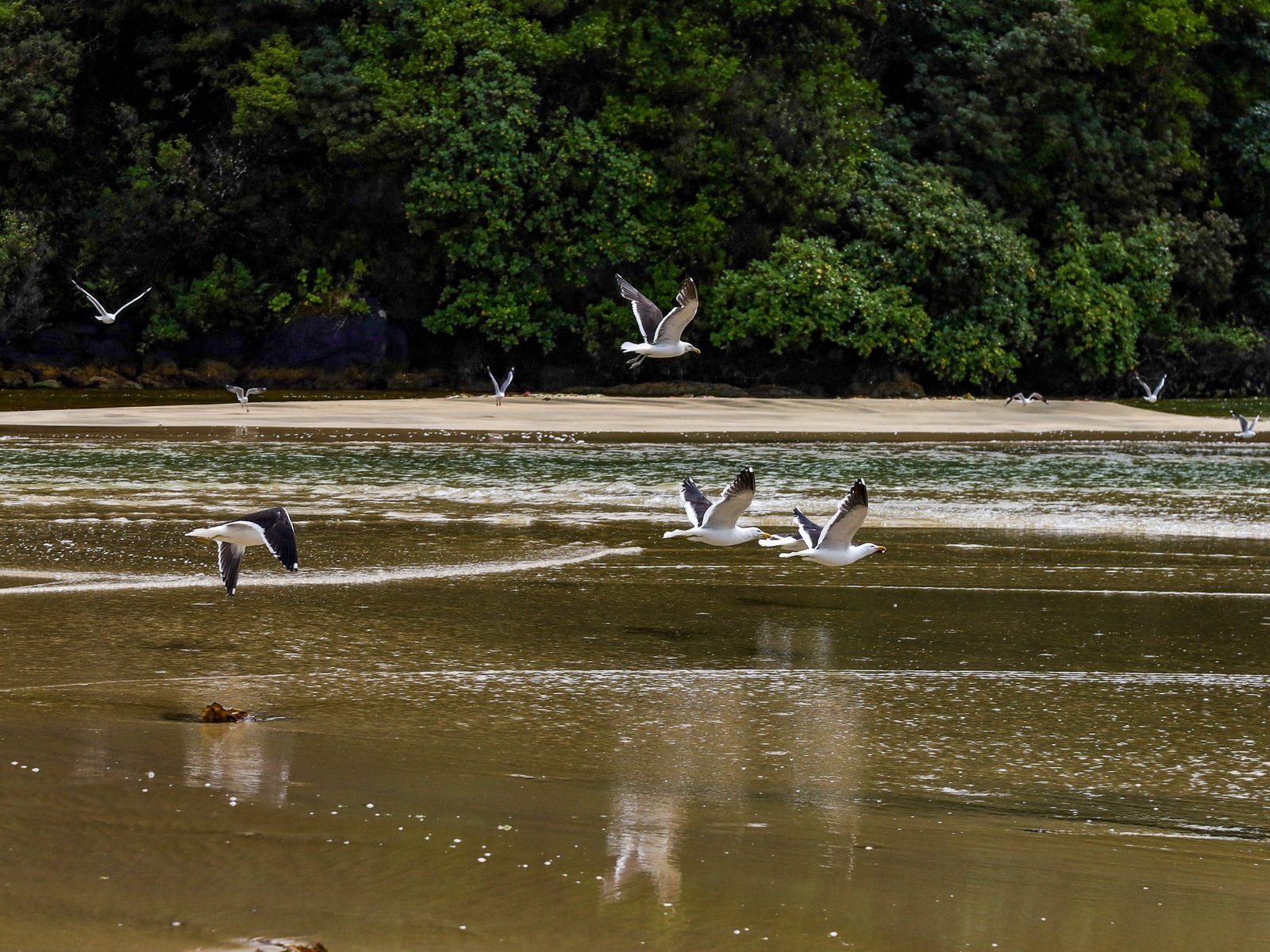
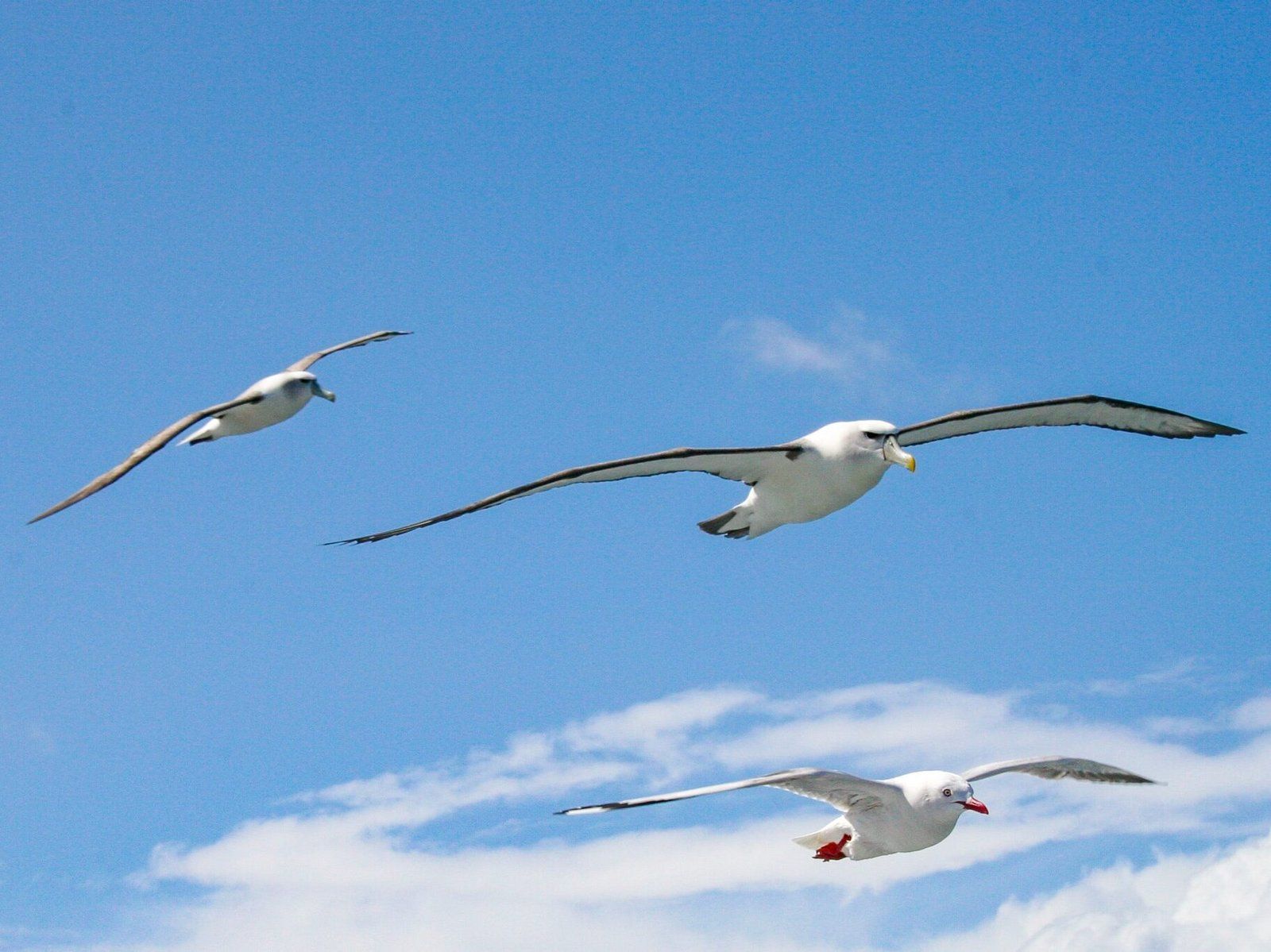
The town's compact size makes it easy to explore on foot. Birds are plentiful, with kākā, large forest parrots, visiting the town in the evenings. You might spot kiwi during the day at Mason Bay or around the local airfield at night. Other common birds include weka, kererū, and koromiko (bellbirds). The island also hosts various seabirds, such as penguins, albatrosses, and mollymawks. Mollymawks, a term for a mid-sized albatross, are notable for their front-facing eyes and are about half the size of the largest albatrosses.
Exploring Ulva Island and Beyond
A brief boat ride from Golden Bay will take you to Ulva Island, a sanctuary teeming with birdlife. For a closer look at the island's remarkable seabirds, consider a tourist ride on a fishing boat. These trips often yield enough blue cod to make the experience worthwhile, especially when compared to Auckland prices.
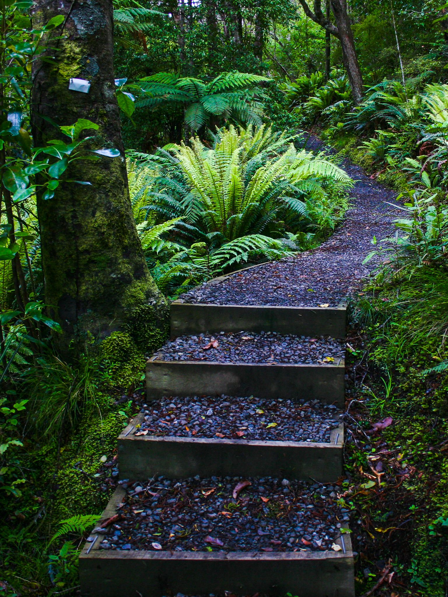
Walking and Hiking Opportunities
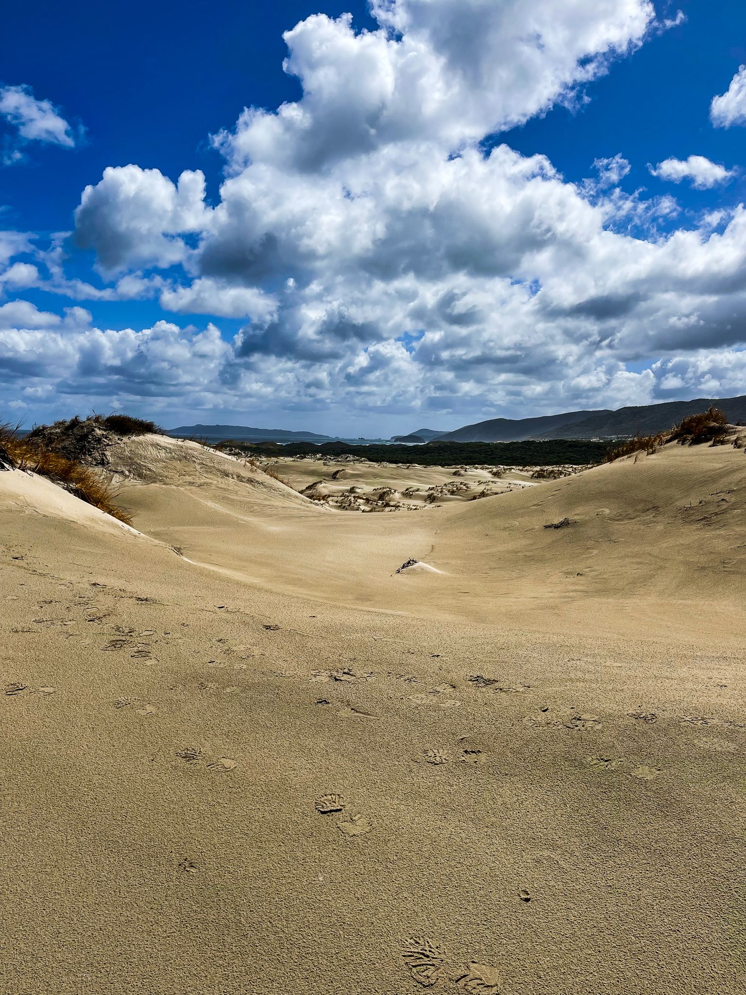
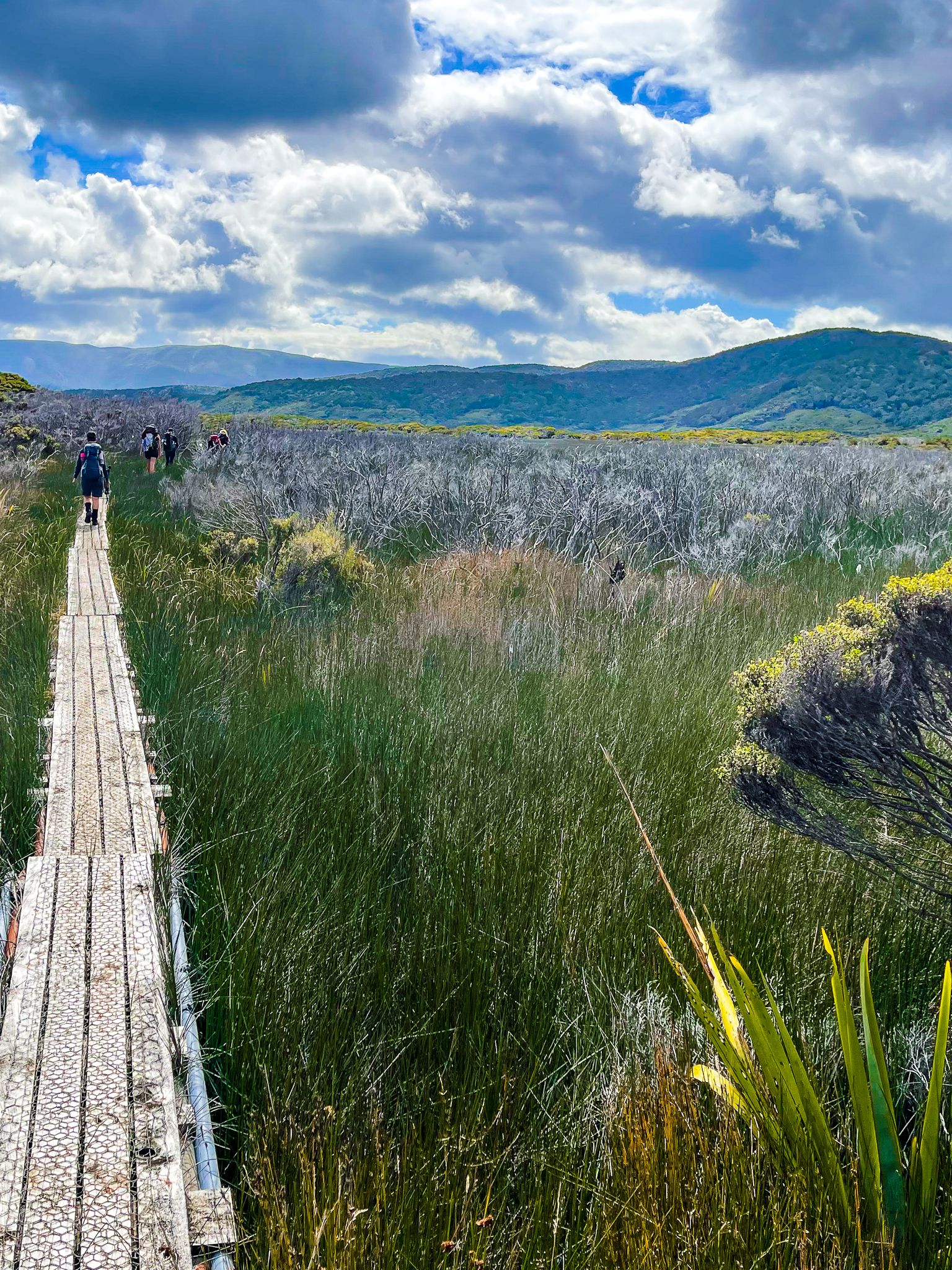
Rakiura Stewart Island is home to Rakiura National Park, which covers 80% of the island and is managed by DOC. From Oban, you can access numerous short to moderate walks, as well as sections of the three-day Rakiura Track, a Great Walk. A longer trek to Mason Bay and back can be completed in one to two days with the help of a small plane and water taxi. This journey offers the chance to see kiwi during the day, though it's essential to research options and consider seasonal variations.
For the more adventurous, the Southern Circuit offers a challenging round-the-island tramp, usually taking 4 to 6 days. This route mostly follows the coast and is notorious for its muddy conditions.
Human History
Māori settled on Rakiura as early as the 14th century, attracted by its rich marine and forest resources. The island's Māori name, Rakiura, meaning "glowing skies," refers to the aurora australis.
From around the 1800s, Māori lived alongside sealing and whaling communities, followed by European settlers who established small fishing, milling, and trading communities. These settlements remained modest due to the island's remoteness and challenging terrain. Today, approximately 400 residents live on the island, mostly in Oban, with summer tourism as the main industry.
Geography
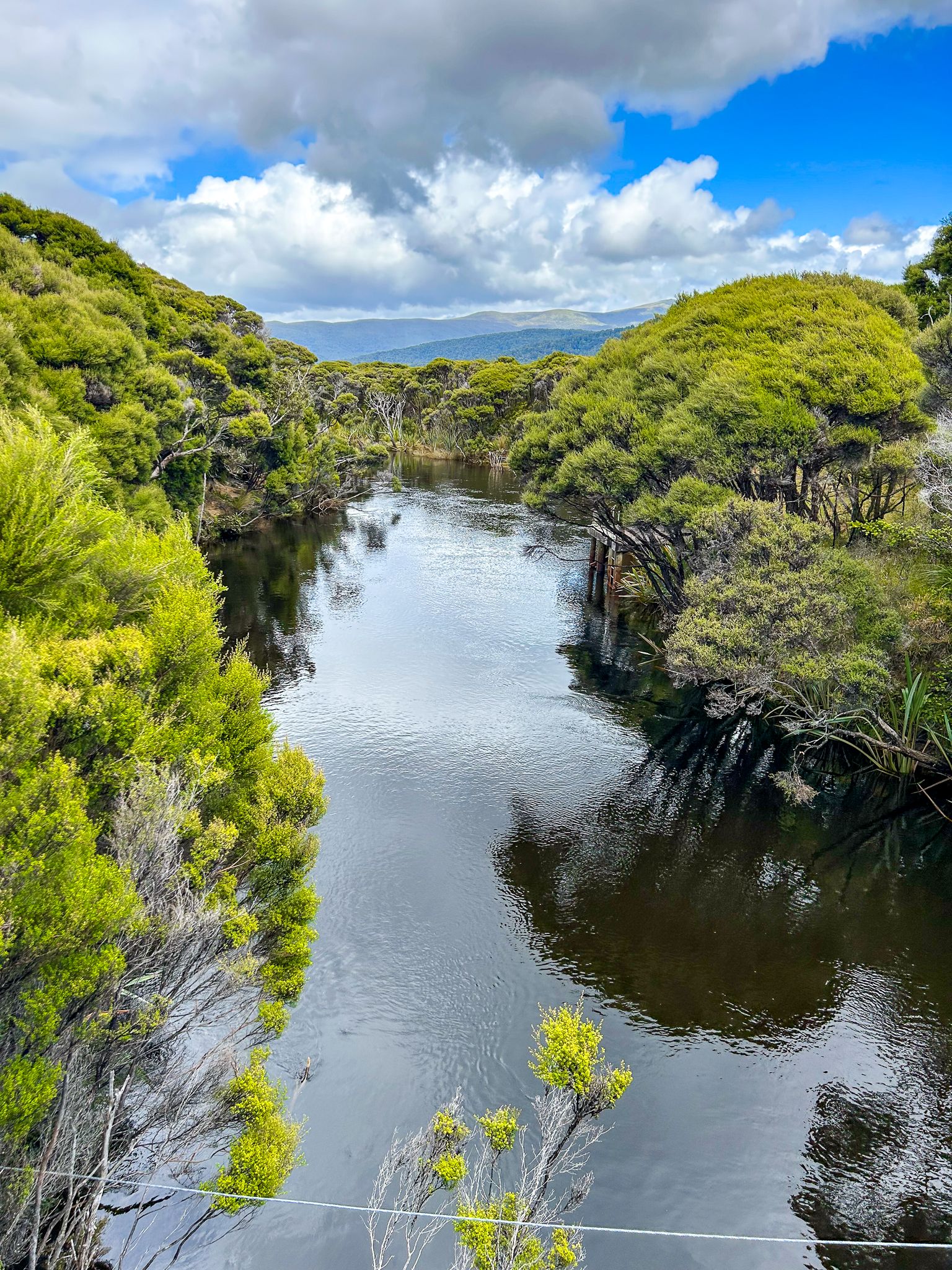
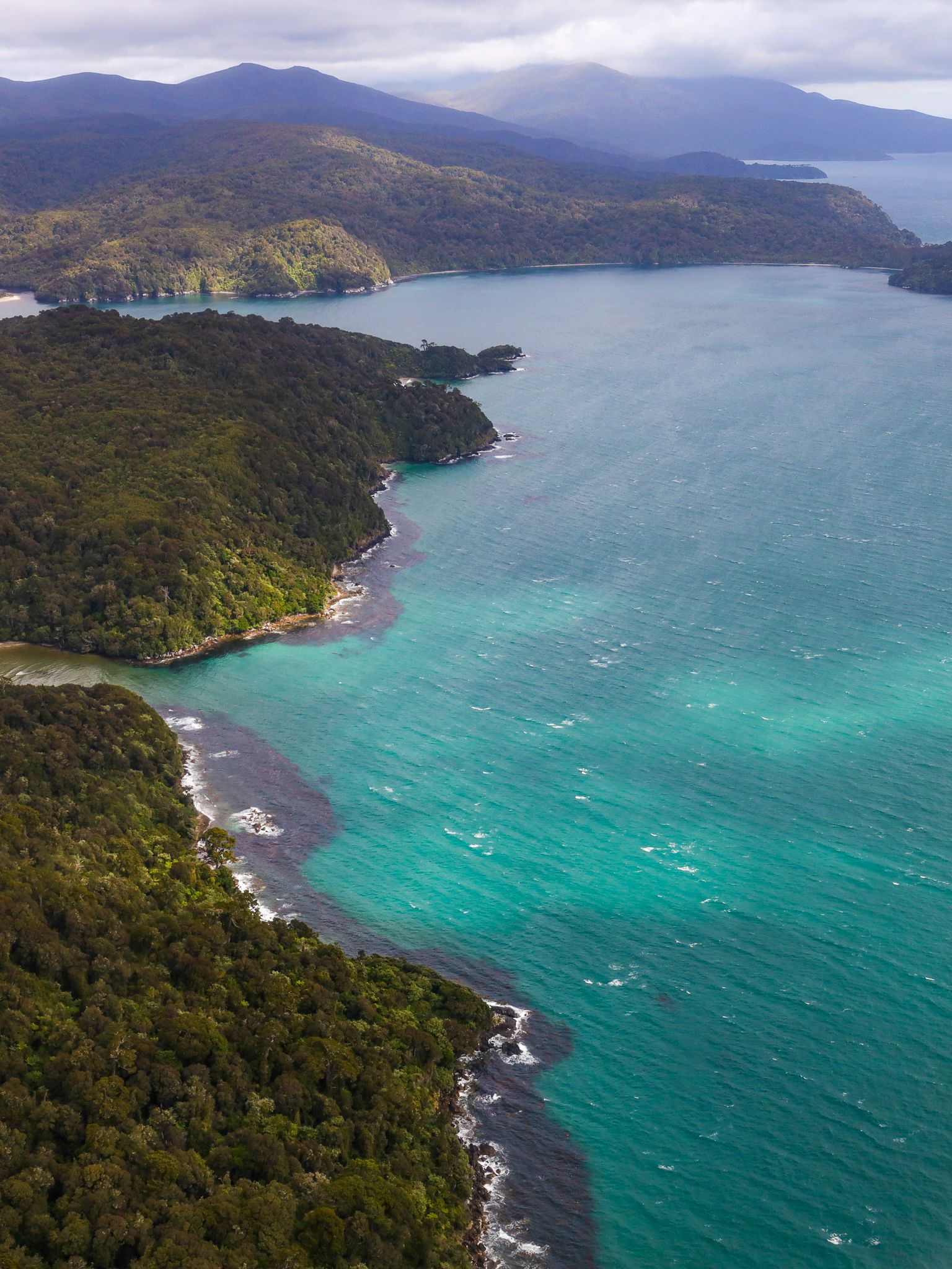
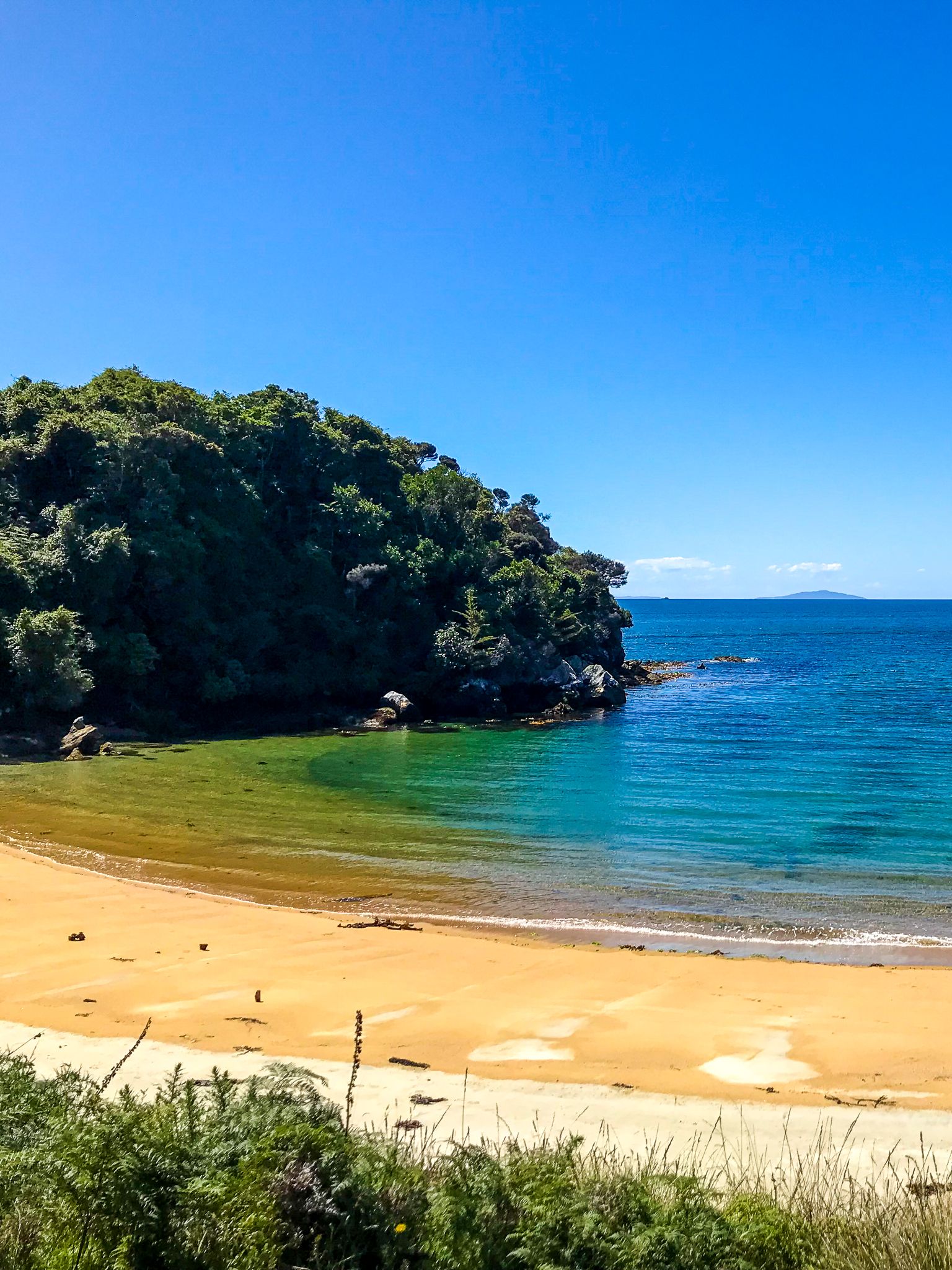
Stewart Island / Rakiura is New Zealand's third-largest island, located about 30 km south of the South Island across Foveaux Strait. Its landscape features dramatic, indented coastlines, including Paterson Inlet, Port Pegasus, and Mason Bay, as well as rugged hills. The highest point is Mount Anglem / Hananui at 980 m.
Rakiura National Park preserves the island's wilderness of dense native forests, dunes, swamps, and scattered islets. The absence of imported predators has allowed native birdlife to thrive, making the island one of the best places in New Zealand to observe native land and sea birds.
How to Get There
You can reach Rakiura by taking a ferry from Bluff to Oban (Halfmoon Bay) or a plane from Invercargill Airport. The boat journey takes about an hour and can be quite rough. Consider flying if you are prone to seasickness, as it takes only 20 minutes.
The weather in Rakirua is generally mild year-round, but it is changeable, so it's wise to be prepared for variable conditions, including rain.