New Zealand's Southernmost City
Invercargill City / Waihōpai in Southland is New Zealand's southernmost and westernmost city, sitting at the edge of the wide Southland Plains some 18 km north of Bluff, with Foveaux Strait and Stewart Island / Rakiura beyond. It is the commercial and cultural heart of the Murihiku region, the Māori name for Southland, meaning "the last joint of the tail." The surrounding plains of green farmland stretch in every direction, bordered to the southwest by the mountains of Fiordland and to the east by the Catlins. The city has a population of around 57,000 and is known for warmth, practicality, and an unmistakable Scottish inflection that its founders brought with them.
Ngāi Tahu and the Murihiku Connection
Long before European settlement, the Southland plains and coastline were the domain of successive Māori peoples. The earliest inhabitants were Waitaha, followed by Kāti Māmoe, and then Ngāi Tahu, who became the dominant iwi of the south. The Waihōpai River, which gives the city its Māori name, was a productive food source: eels, waterfowl, and shellfish from the estuaries sustained settlements through the region.
Ngāi Tahu traded with European sealers and whalers from the late 1700s, and the Ruapuke Island mission of the Reverend Johann Wohlers marked one of the earliest sustained points of European contact. The Murihiku Purchase of 1853, in which Walter Mantell bought much of the region from Ngāi Tahu on behalf of the Crown, was contested by the iwi for well over a century, as promised schools and hospitals largely went unbuilt. Today, the Waihōpai Rūnanga of Ngāi Tahu is based in the city on Tweed Street.
Scottish Roots and City Foundations
The city takes its European name from Captain William Cargill, a prominent Otago settler. "Inver-" is a Scottish prefix for a river mouth or estuary and was added to his surname. The first European settler on the townsite was John Kelly, a sealer who arrived in 1856, and the chief surveyor, John Turnbull Thomson, laid out the town grid that same year.
Thomson made the streets wide, up to 20 metres across, to accommodate the turning of bullock teams and carts. He named many of them after Scottish rivers, and Dee, Tay, Tweed, Forth, Esk, Ness and others form the city centre today. Initial settlement was driven by the Free Church of Scotland, whose followers had already established Dunedin.
Geography of Invercargill
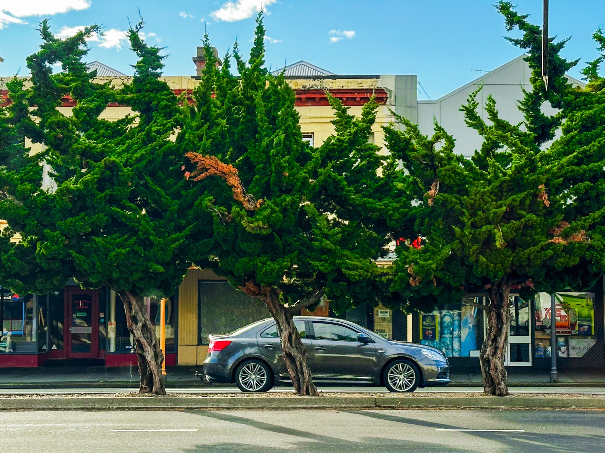
Invercargill sits in the south end of the wide Southland Plains, today mostly farmland but once an extensive swamp forest. The forest was cleared, and the intensely green pastoral land is the dominant feature of the region. It is a cool, relatively wet climate that looks permanently, almost impossibly green.
On the southeast side of Invercargill, the New River Estuary is a large shallow tidal lagoon covering around 4,100 hectares, fed by both the Ōreti and Waihōpai Rivers and bordered by mudflats, seagrass beds, and salt marsh. To the south, the estuary opens into Foveaux Strait, which separates the South Island from Stewart Island / Rakiura. Oreti Beach, west of the estuary, faces the Strait and runs north to Aparima / Riverton.
The Waihōpai River, fed by numerous streams to the northeast of the city, runs through the northern suburbs, then turns south, passing between the city and the airport, and flows into the estuary at the Stead Street Bridge. The Ōreti River, 170 km long, drains south from the headwaters near the Mavora Lakes, passing through Lumsden and Winton before reaching the western edge of the city and the estuary, southwest of the Waihōpai..
Architecture, Heritage and Modern Invercargill
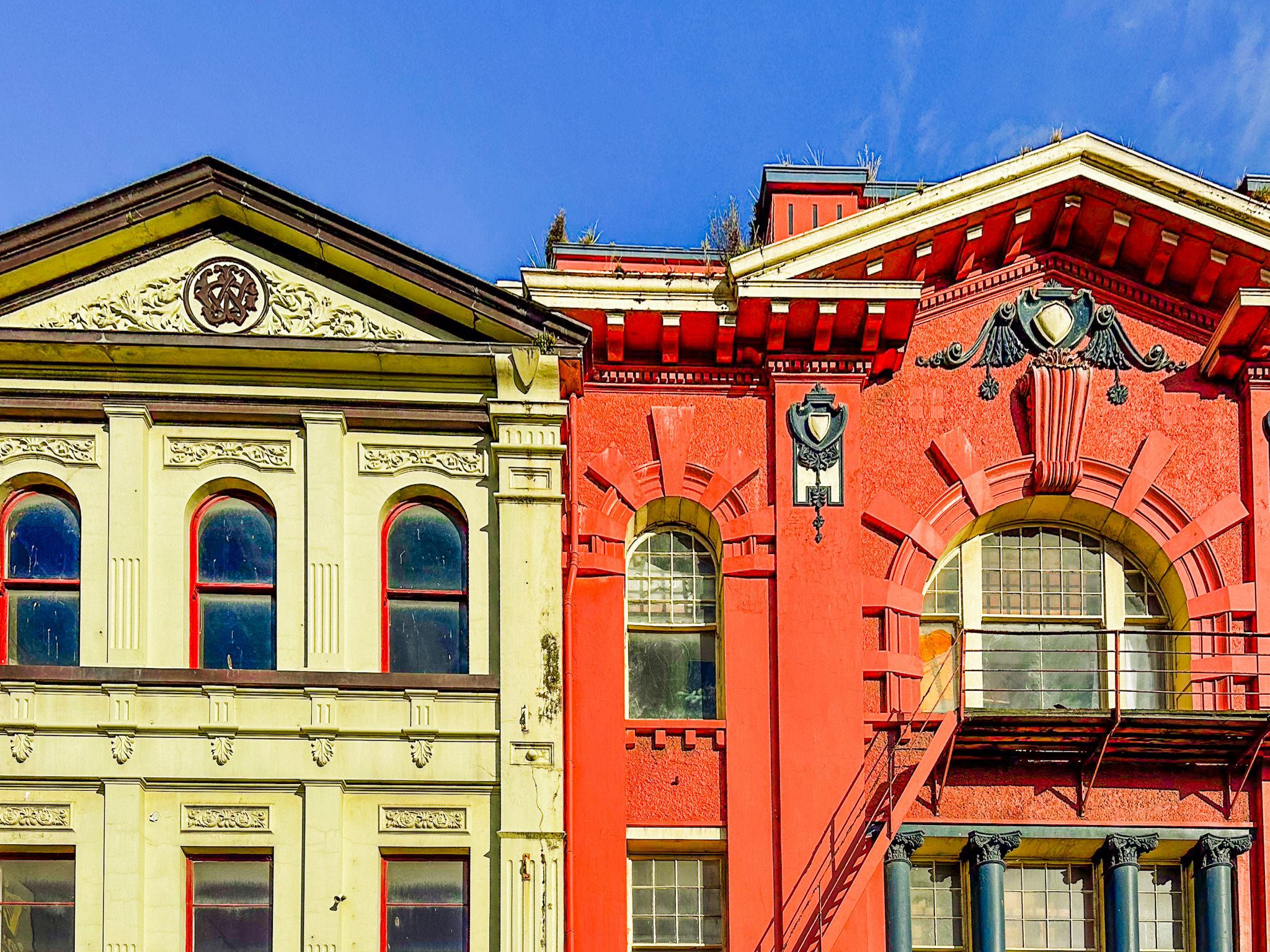
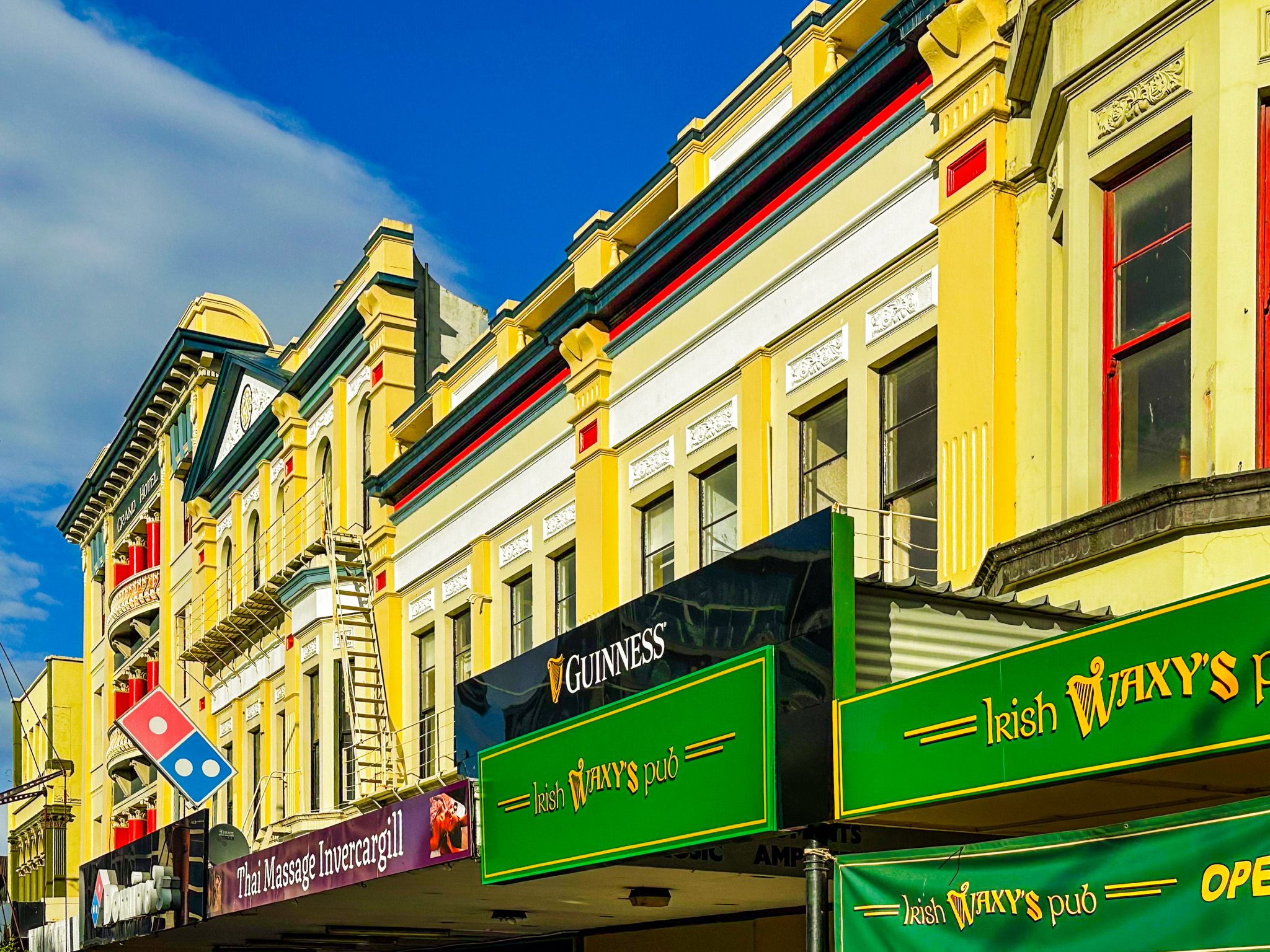
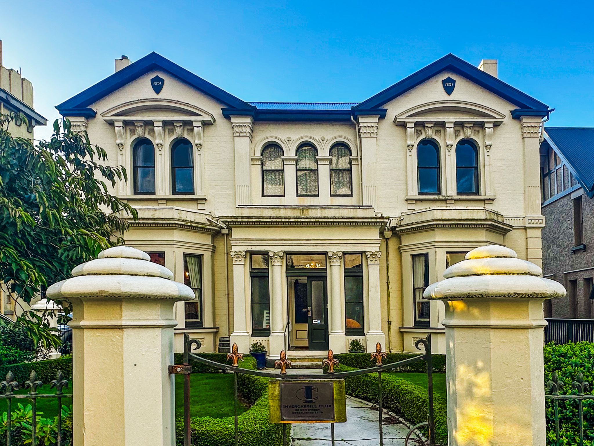
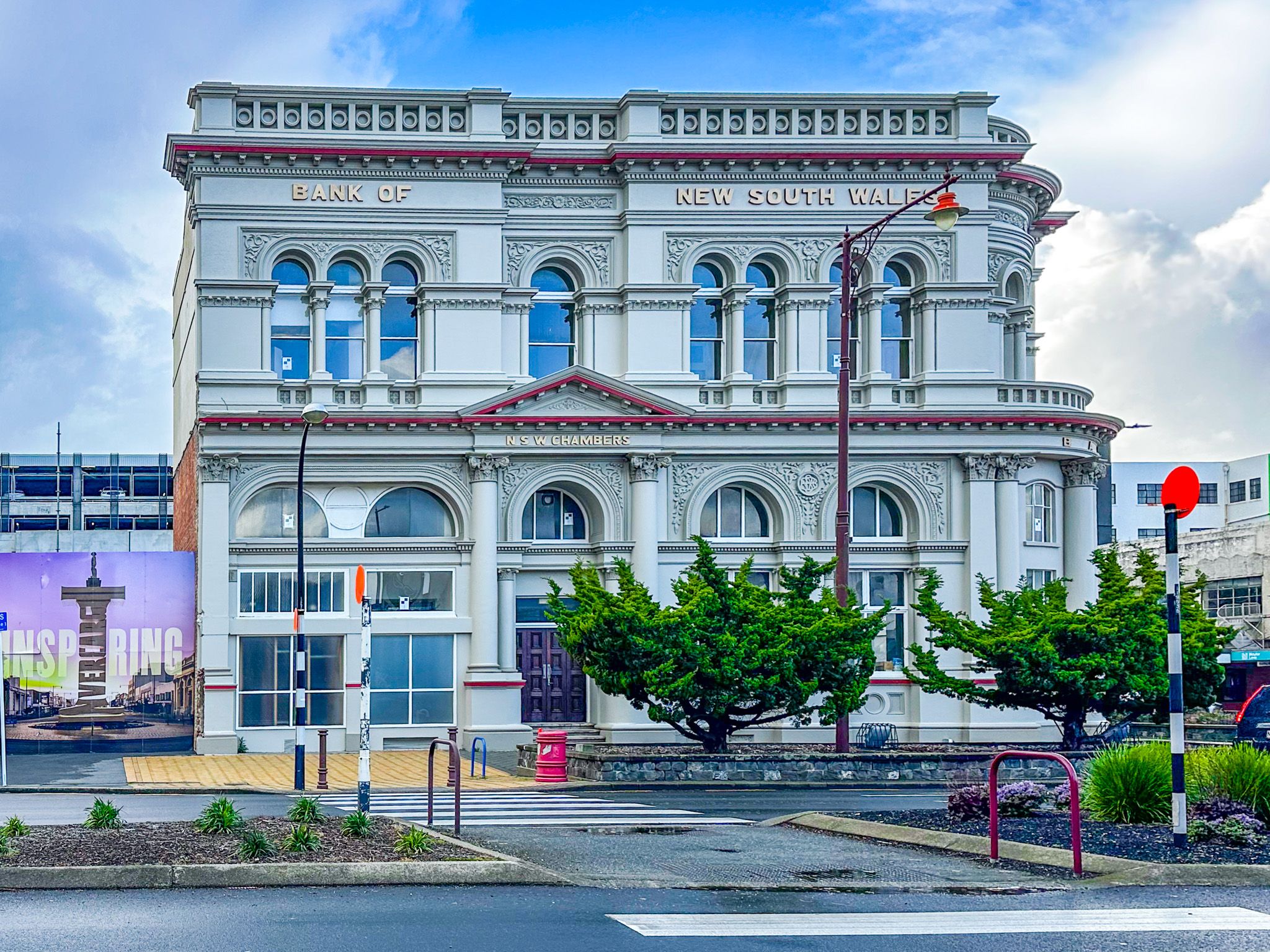
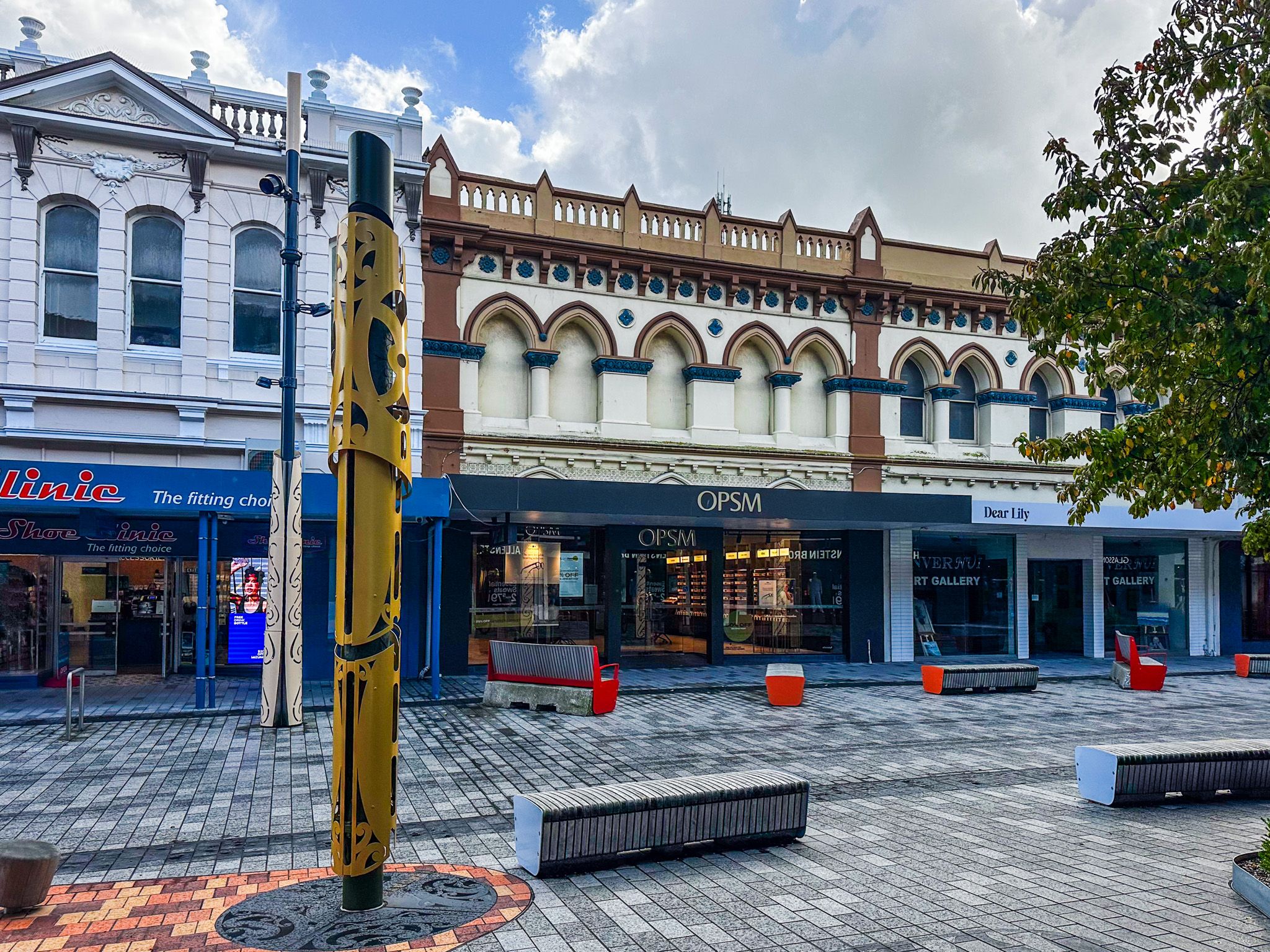
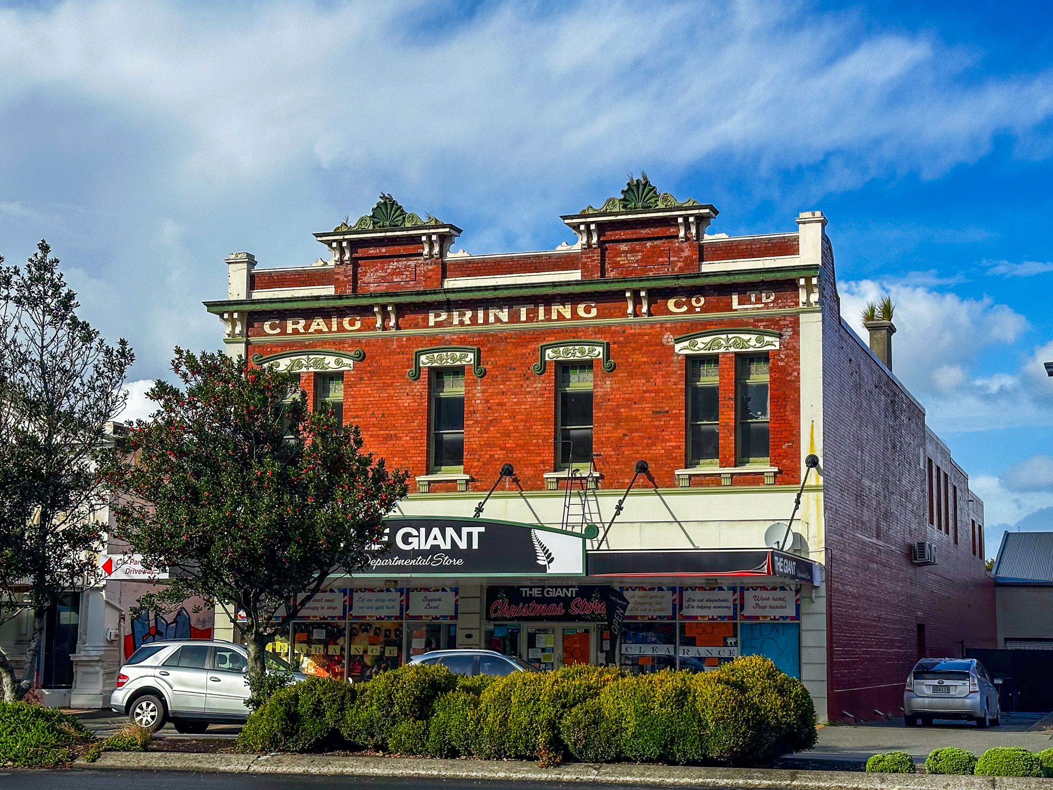
Invercargill has more than 60 registered heritage buildings, with much of this concentrated around the city centre.
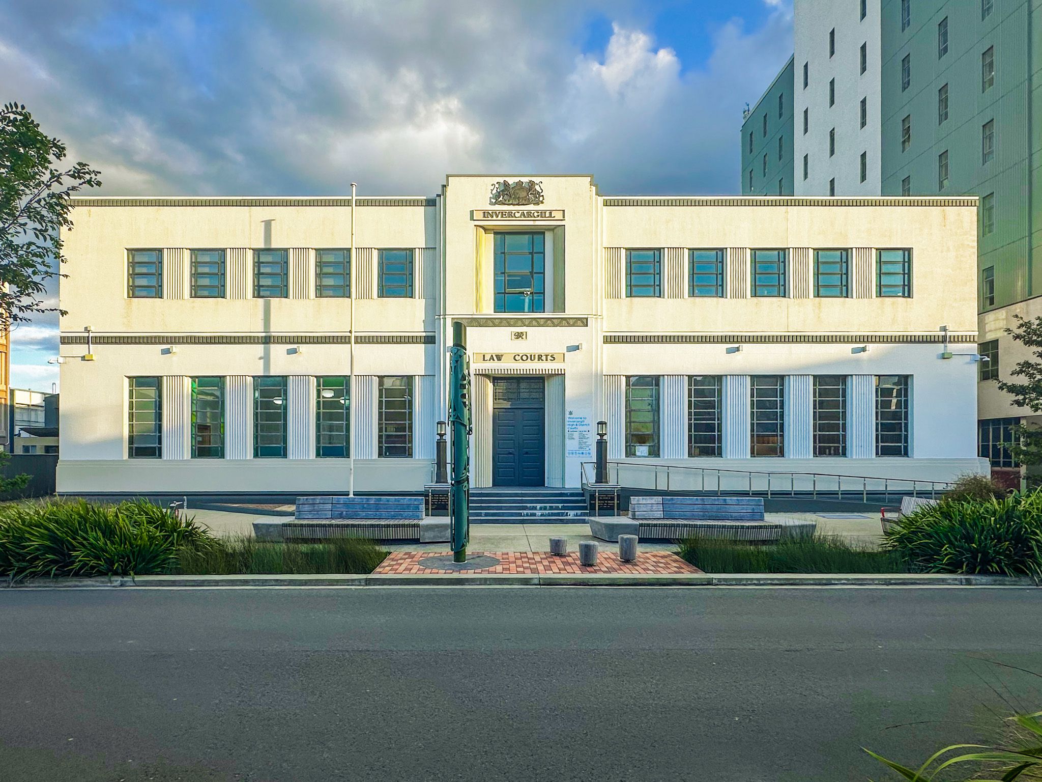
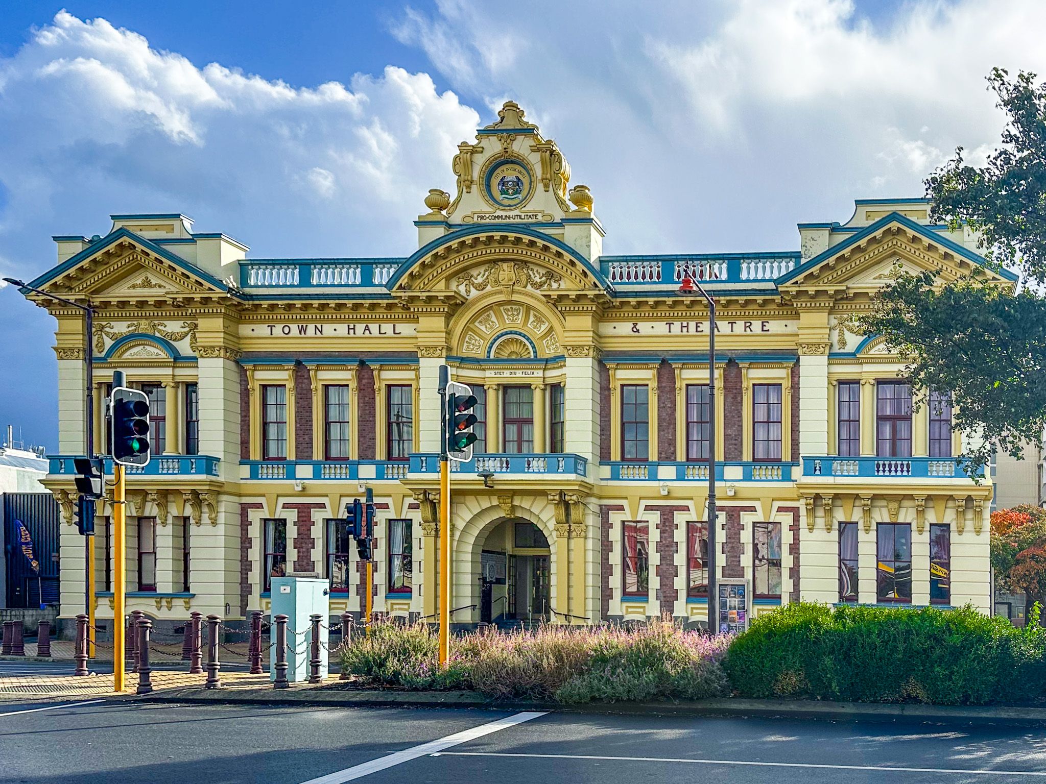
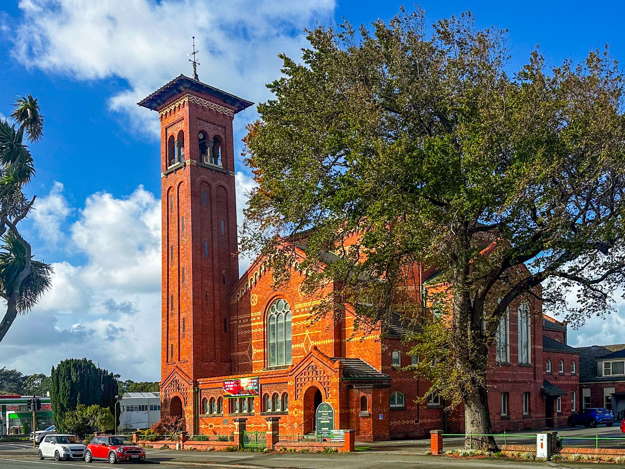
The most striking is the 1906 Civic Theatre on Tay Street, an Edwardian Neo-Baroque landmark that continues to operate as a performing arts and events venue. Close by stands St John's Anglican Church, designed by the same architect, E. R. Wilson, in a Gothic style. Around the corner, First Presbyterian Church, completed in 1915 in Italian Romanesque style, contains over a million bricks and a bell tower that rises 32 metres. St Mary's Basilica on Tyne Street, opened in 1905 with its copper-clad dome, is a particularly striking church.
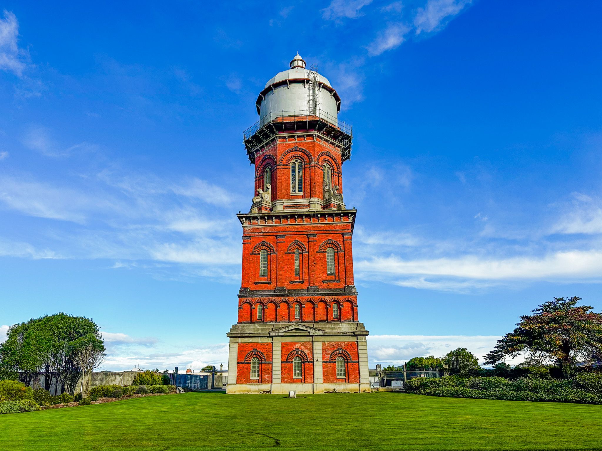
Rising above the cityscape on Doon Street, the 42-metre red-brick Water Tower of 1889 is the most recognisable element of the skyline. The tower contains 295,000 bricks and was engineered to provide water pressure for the expanding town.
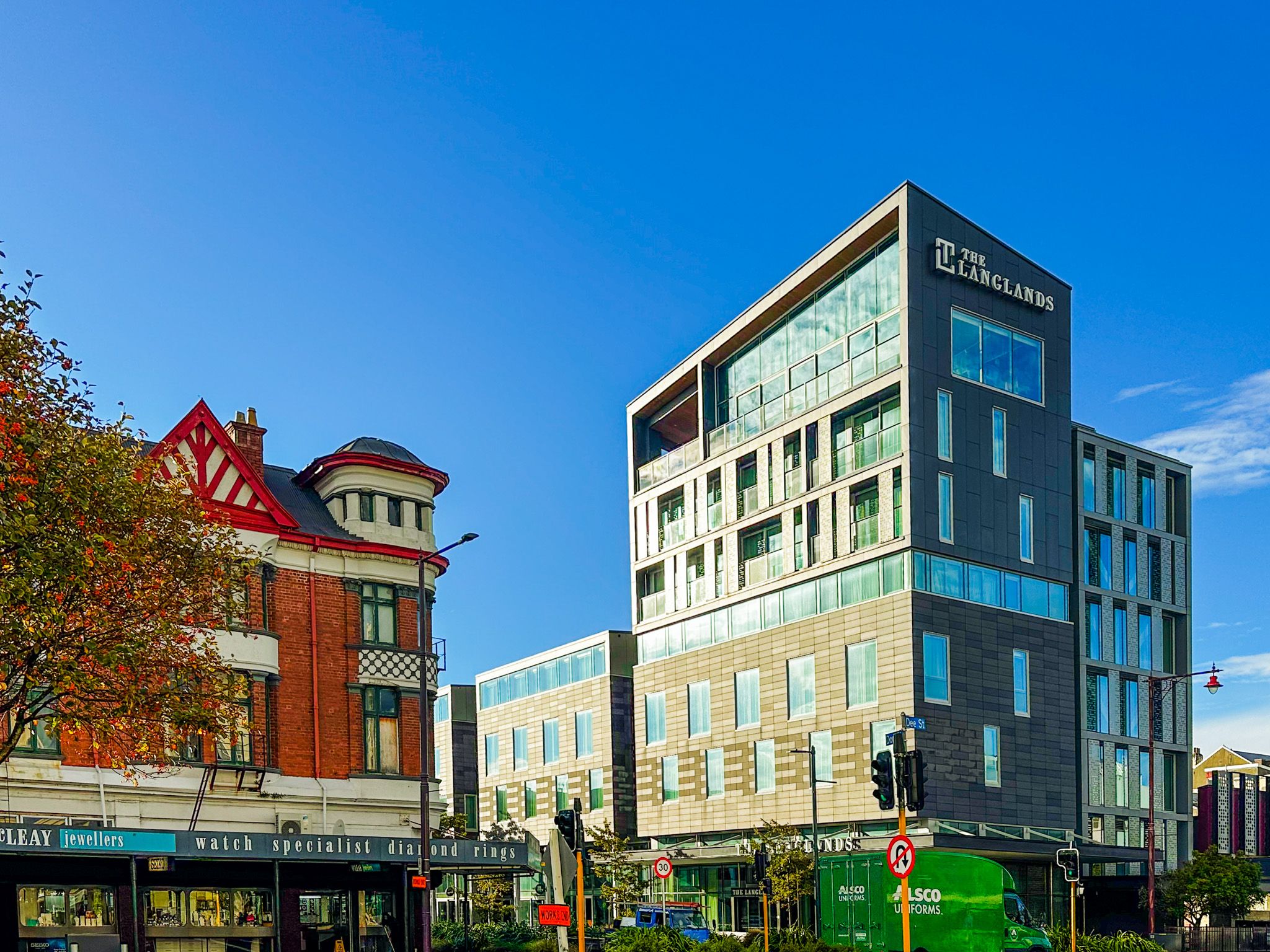
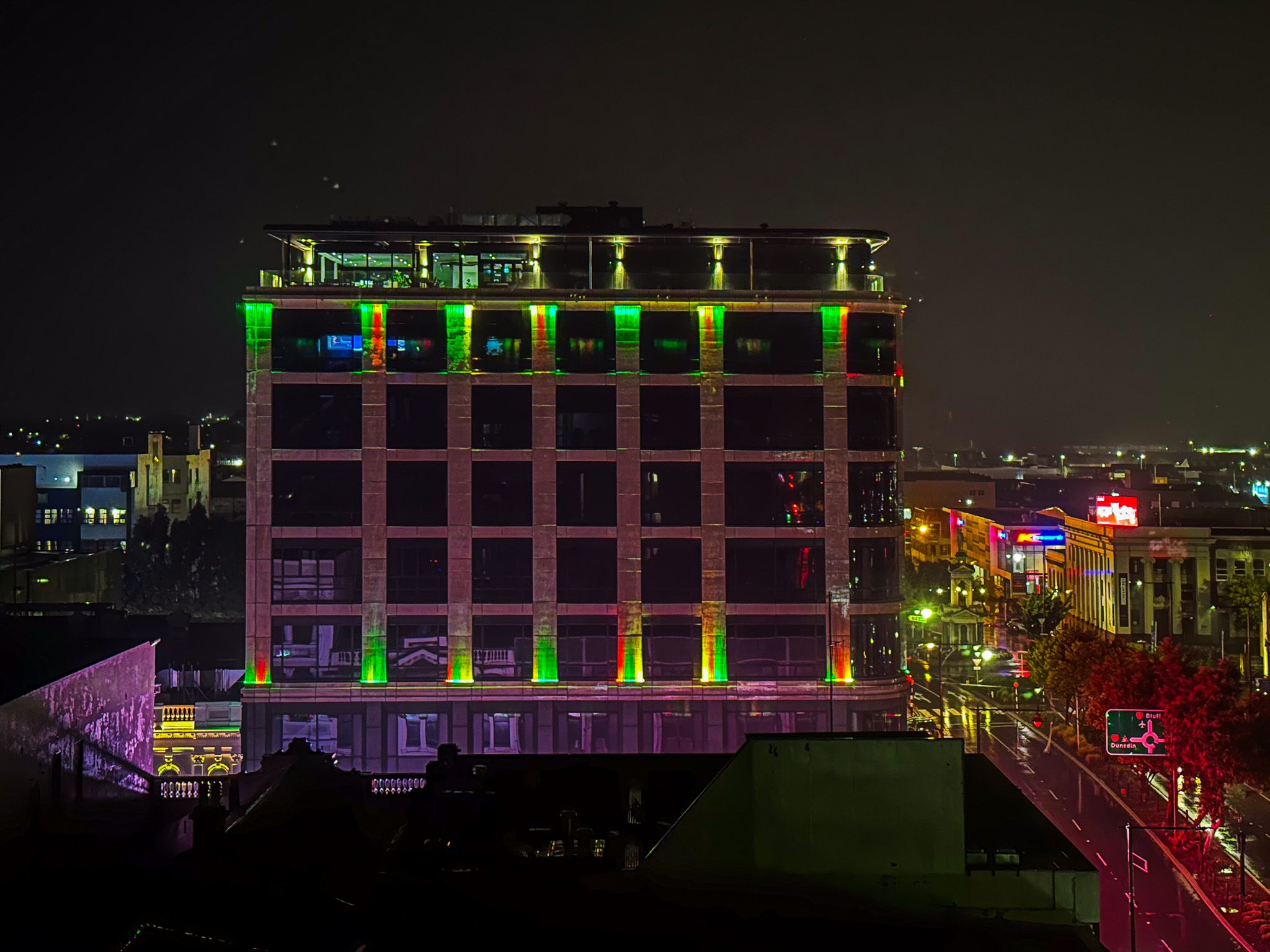
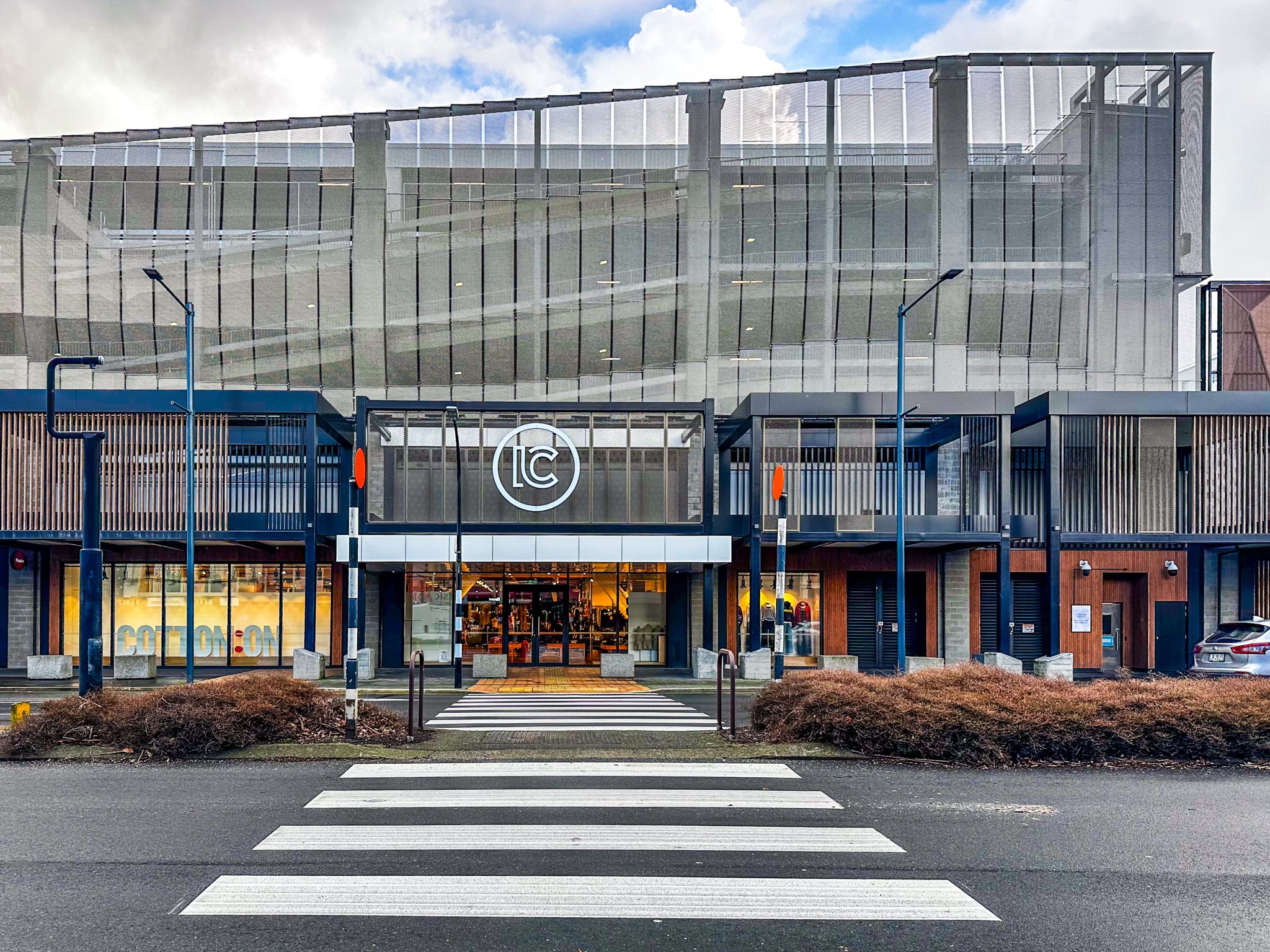
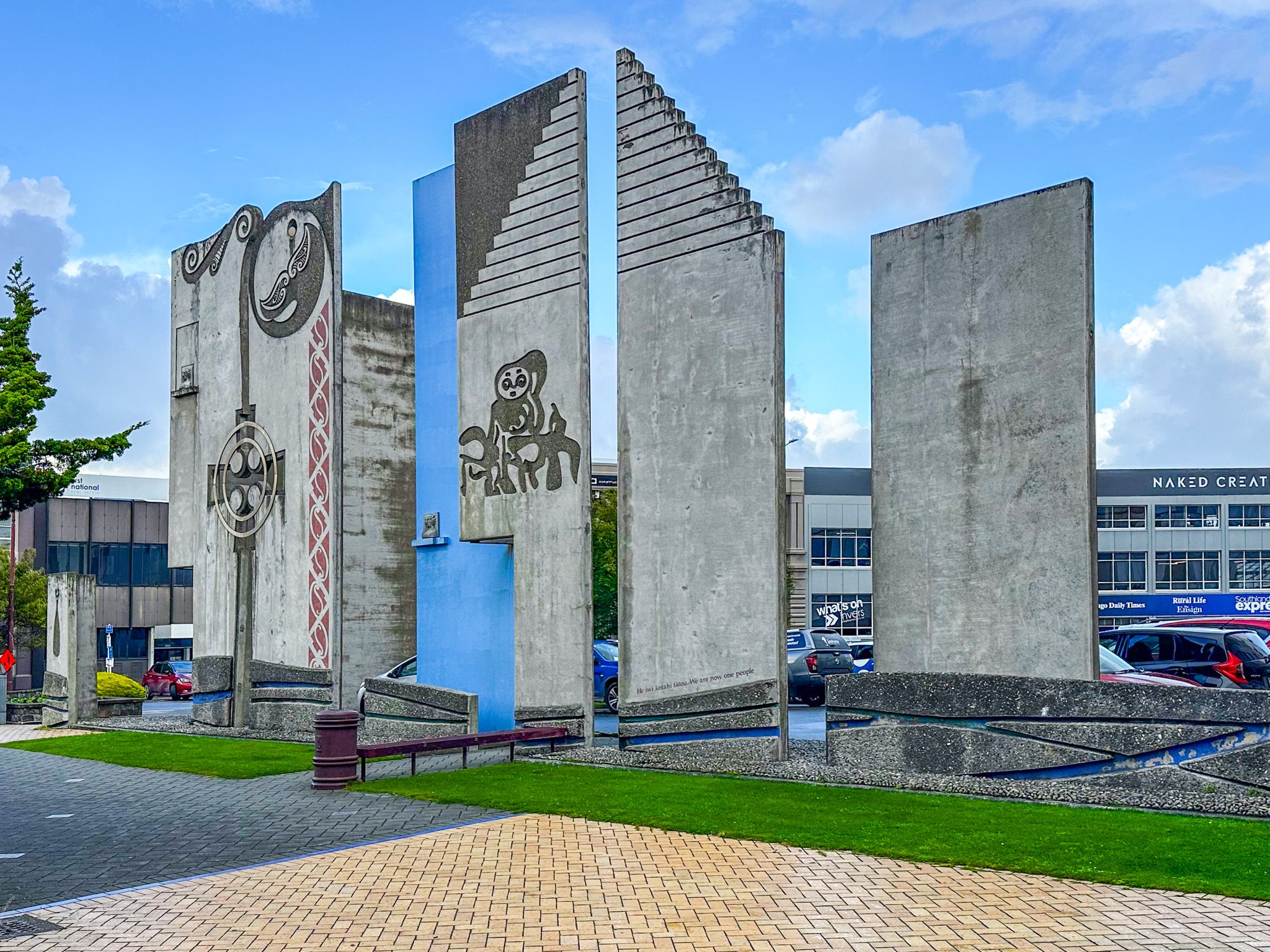
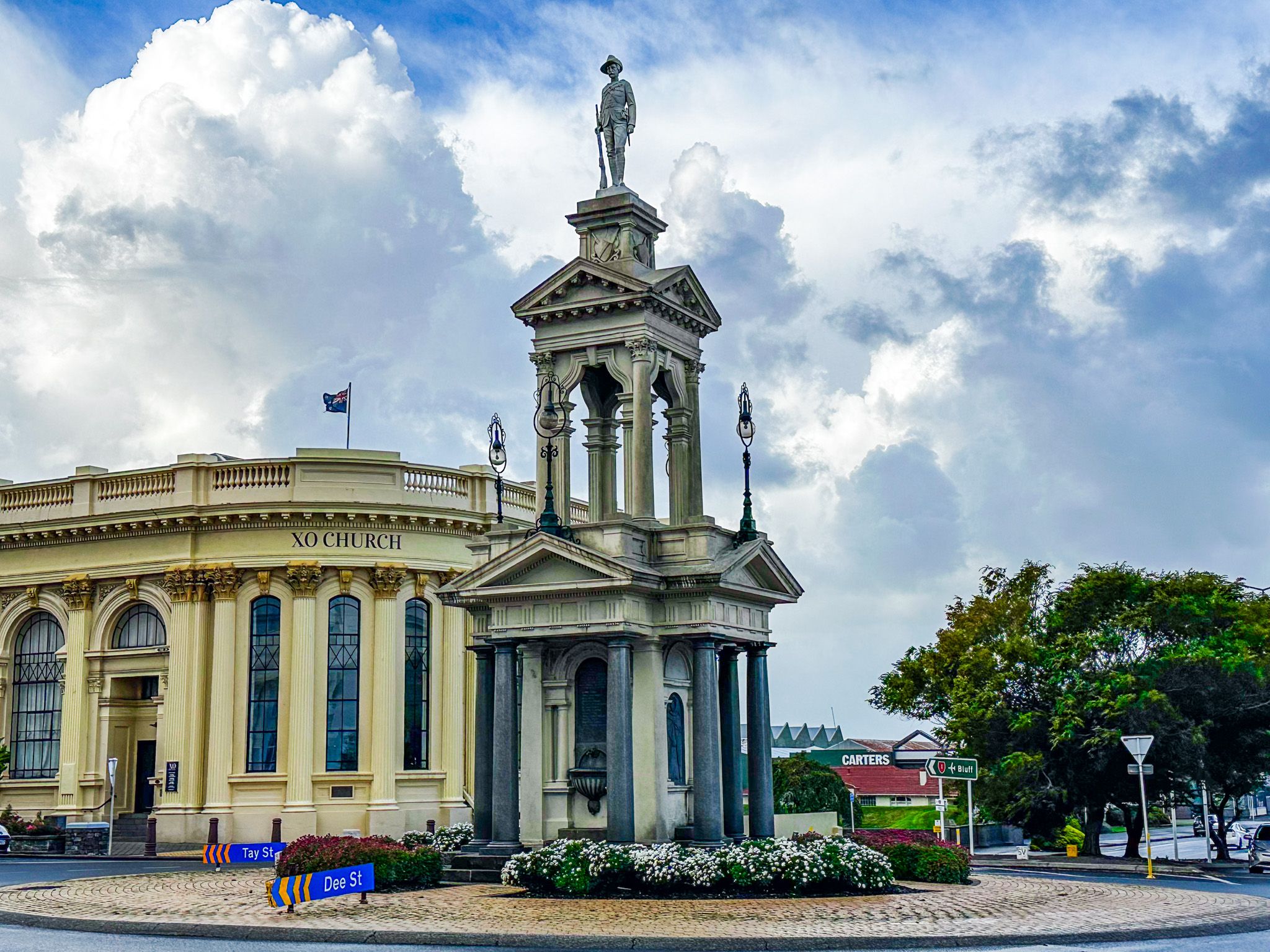
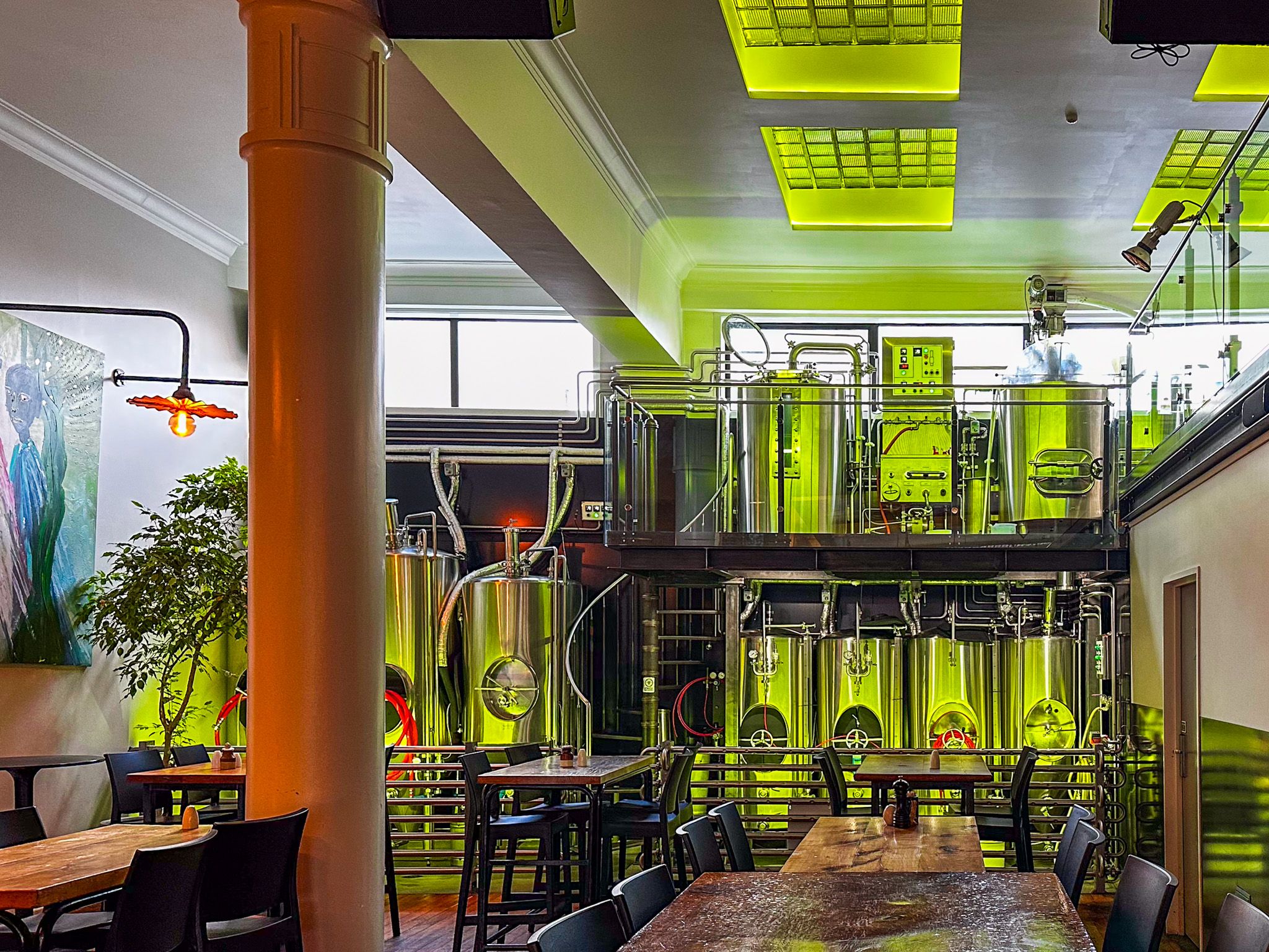
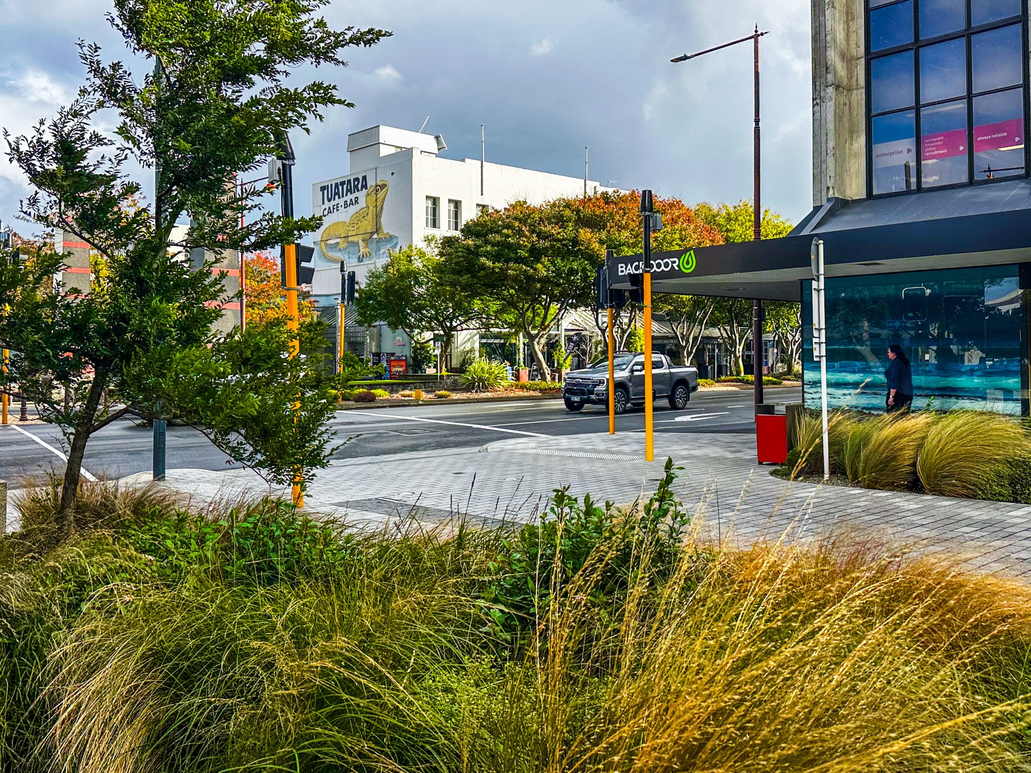
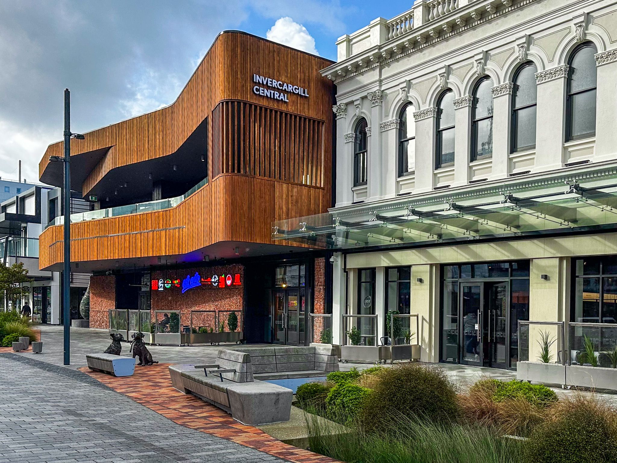
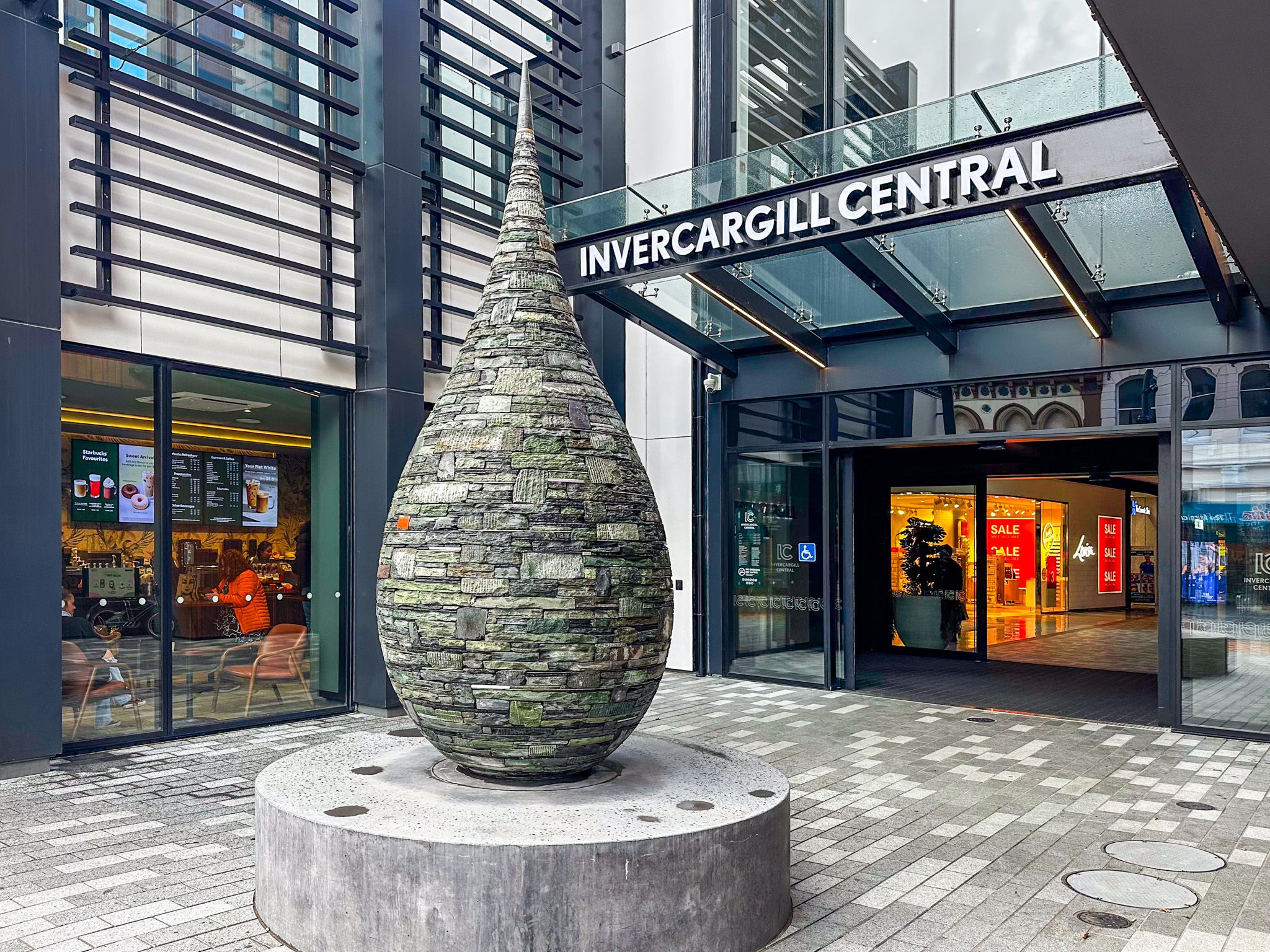
Although the city’s well-maintained heritage is the main feature, there has also been some modern development. The Langlands Hotel is the most notable example, and the top floor is the perfect spot to end the day with a drink and snack. Invercargill Central is a major inner-city mall, and the Southern Institute of Technology / Te Whare Wānanga o Murihiku on Tay Street offers free tertiary education programmes, which have added a more youthful vibe to the city. This is also reflected in the extensive outdoor murals and other public artworks around the central city. There are also plenty of good cafes and other eateries.
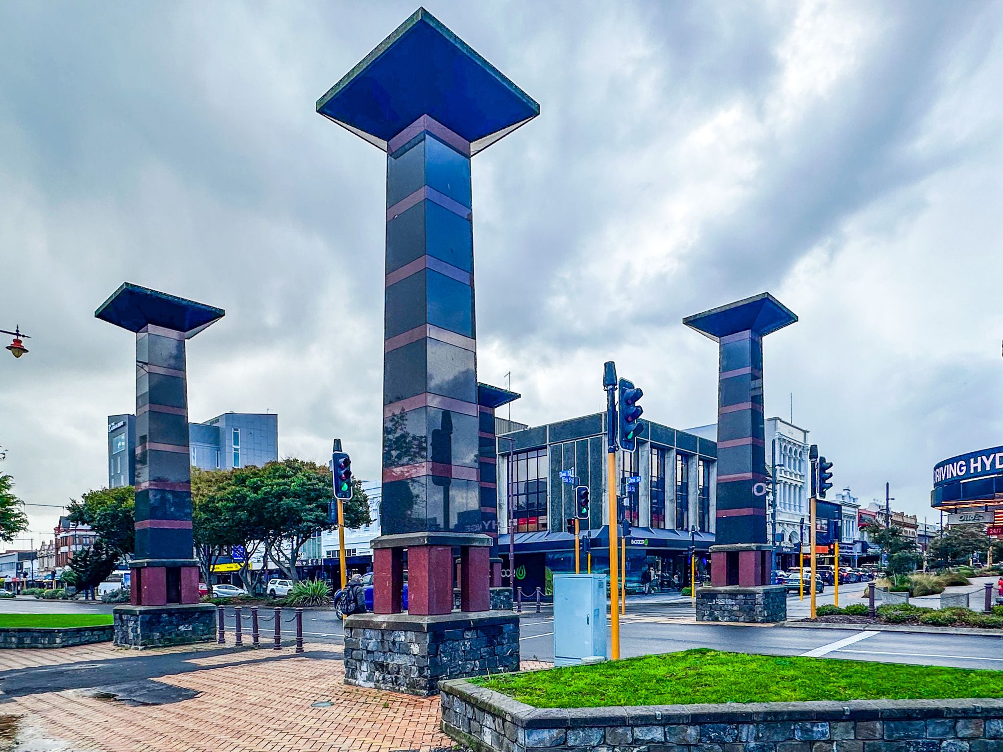
The city centre also has a collection of large murals and various outdoor sculptures. These are described in Invercargill Street Art.
Parks and Museums
Queens Park, 81 hectares of formal gardens and open space just north of the city centre, is an excellent urban park, with themed gardens, a playground and a cafe. Anderson Park, at the north edge of the city on McIvor Road, has 24 hectares of gardens and native bush around the 1925 Georgian-style Anderson homestead. Thomsons Bush, a 33-hectare remnant of the kahikatea swamp forest that once covered much of the Southland plains, borders the Waihōpai River within the city limits.
He Waka Tuia, on Tay Street, currently serves as the city's main art and museum space while the Southland Museum and Art Gallery is being rebuilt at Queens Park.
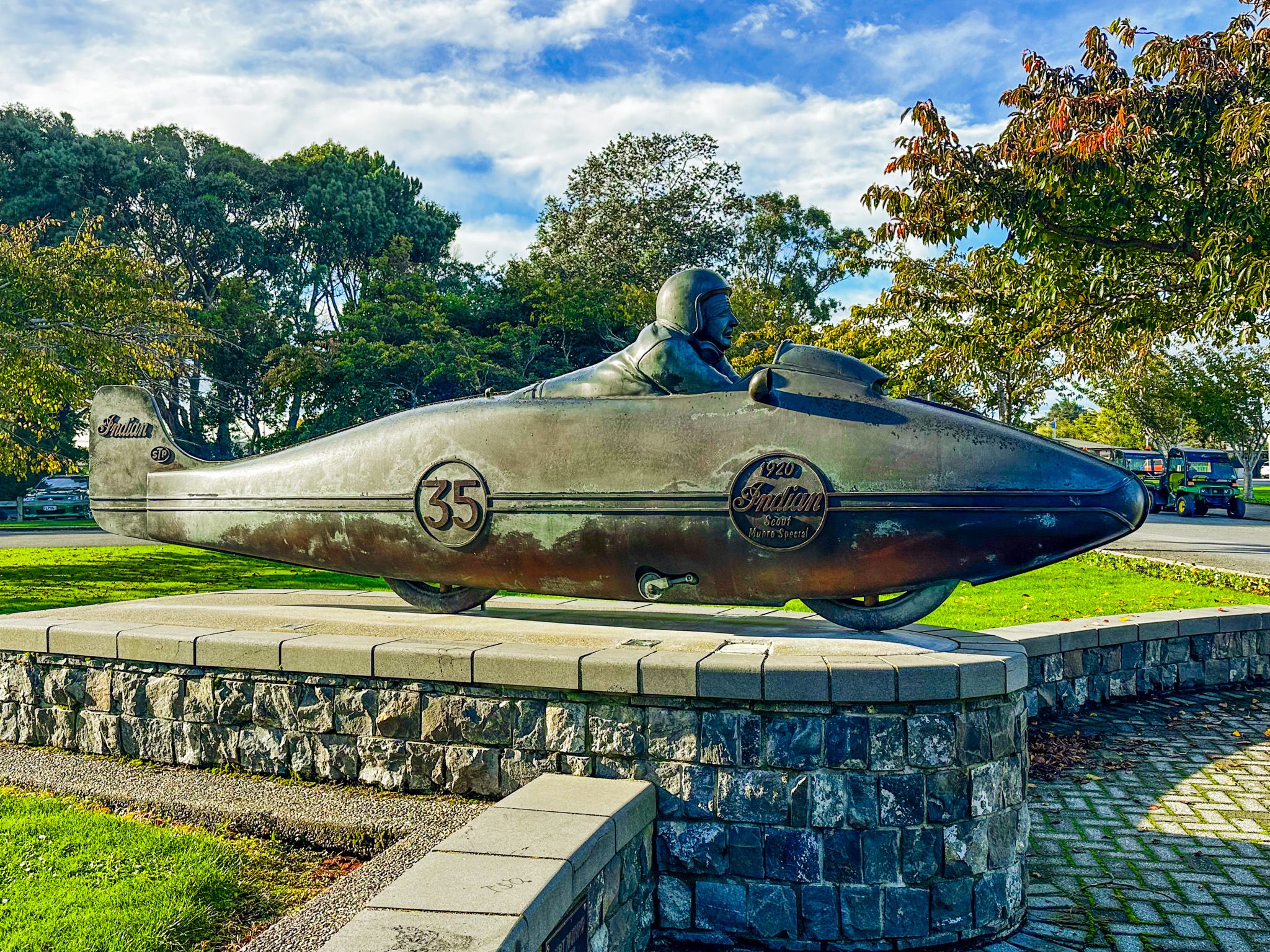
The Bill Richardson Transport World on Tay Street is one of the most visited attractions in Southland, housing over 300 vintage vehicles alongside family activities and social history exhibits. Classic Motorcycle Mecca, part of the same complex, holds more than 300 motorcycles. Burt Munro, celebrated in the movie The World's Fastest Indian, and the spirit of local culture are commemorated with a statue at the south end of Queens Park.
How to Get There
Invercargill is served by a domestic airport approximately 3 km from the city centre, with regular flights from Christchurch, Wellington, and Auckland. By road, it is 220 km south of Dunedin via State Highway 1, and around 290 km southeast of Queenstown via State Highway 6.
From Invercargill, the gateway connections are significant: Bluff is 27 km south via State Highway 1, with ferry access to Stewart Island / Rakiura, or by plane from the airport; and Fiordland is accessible to the northwest via the Southern Scenic Route, which also runs east through the Catlins coastal region, then north to Dunedin. This is one of the best touring drives in New Zealand. The attractive and historic town of Aparima / Riverton with the fabulous Te Hikoi Southern Journey museum is just a 30-minute drive away.