Sumner: A Seaside Gem in Christchurch
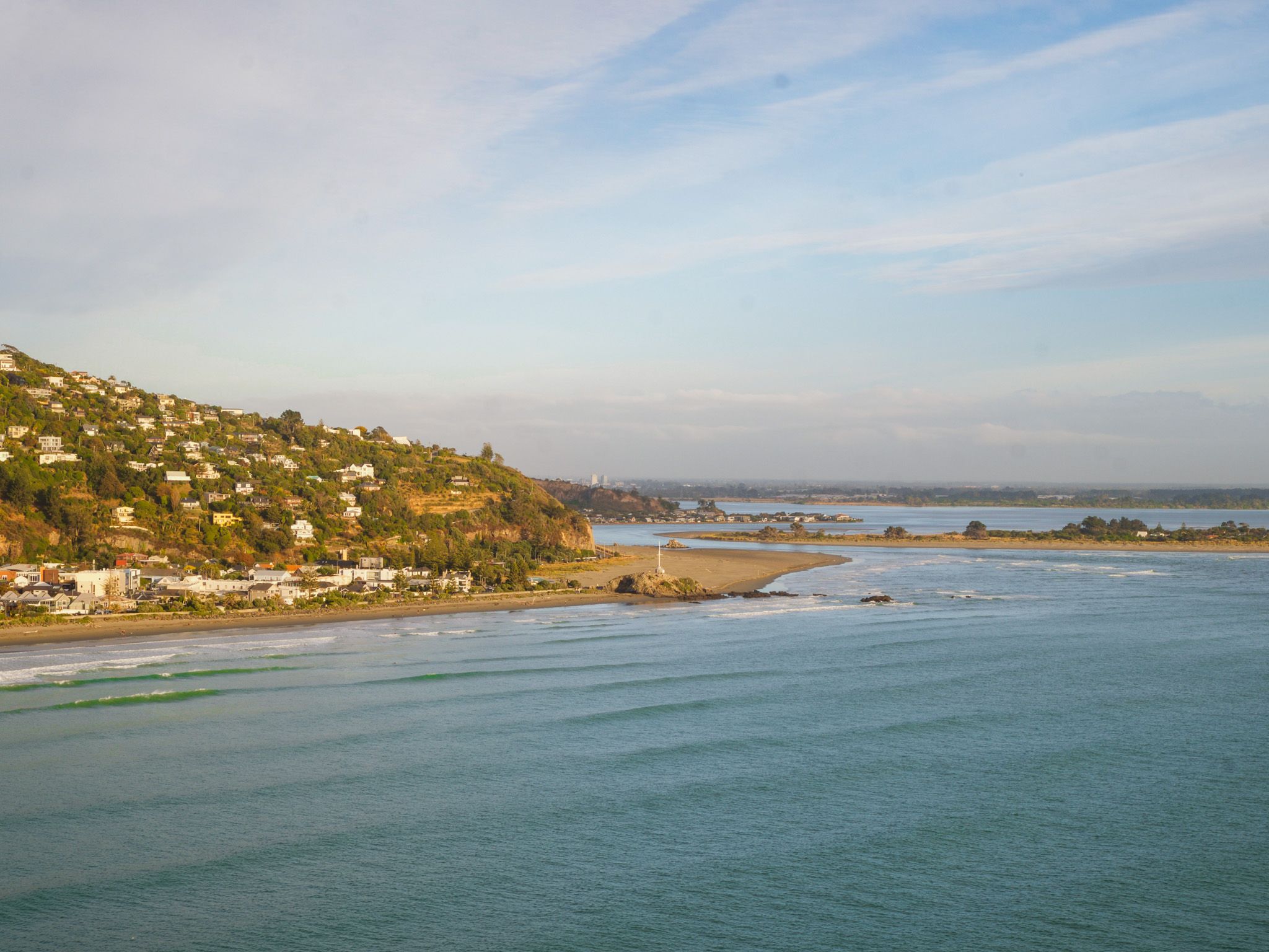
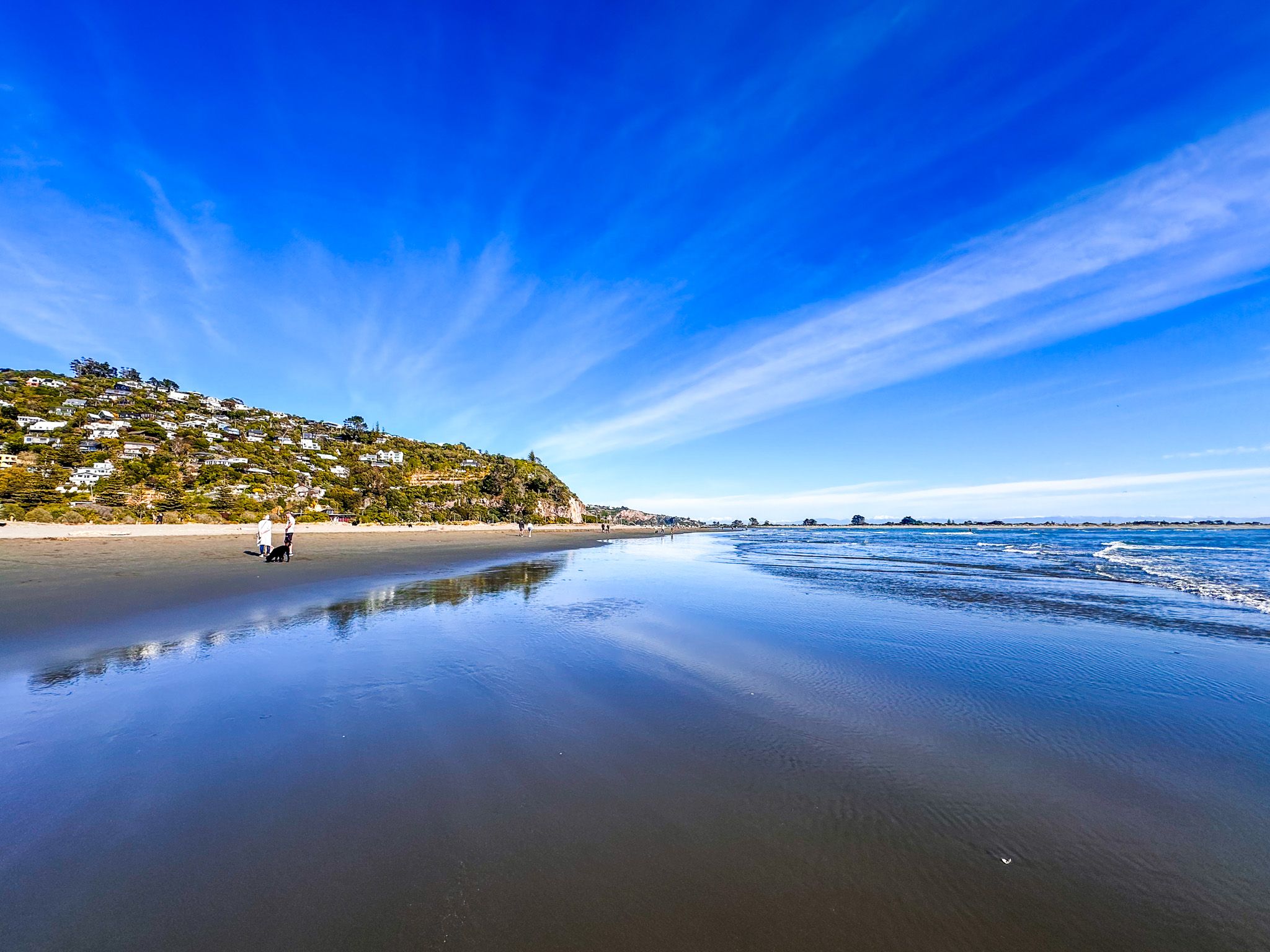
Sumner is a charming seaside suburb located at the southern end of Pegasus Bay, nestled at the northwestern edge of Banks Peninsula and the Port Hills in Christchurch. Known for its distinctive beach, Sumner offers a wonderful coastal experience, with its flat profile stretching from the Estuary of the Heathcote and Avon Rivers to Cave Rock, then curving towards Scarborough.
Exploring the Town and Surroundings
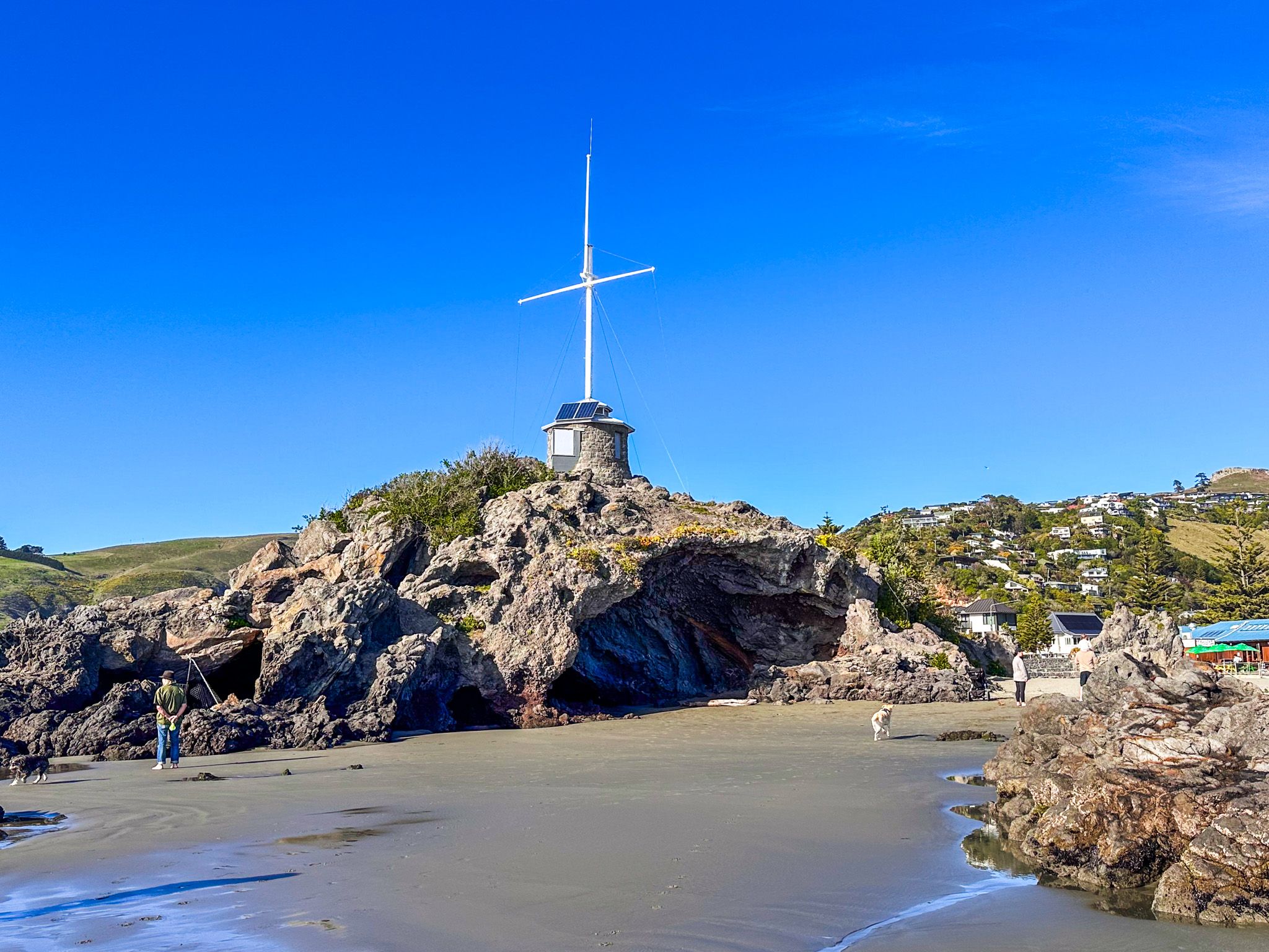
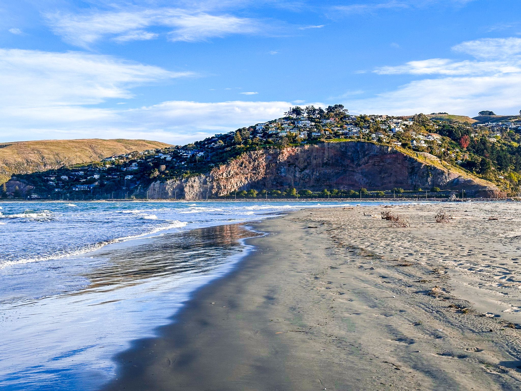
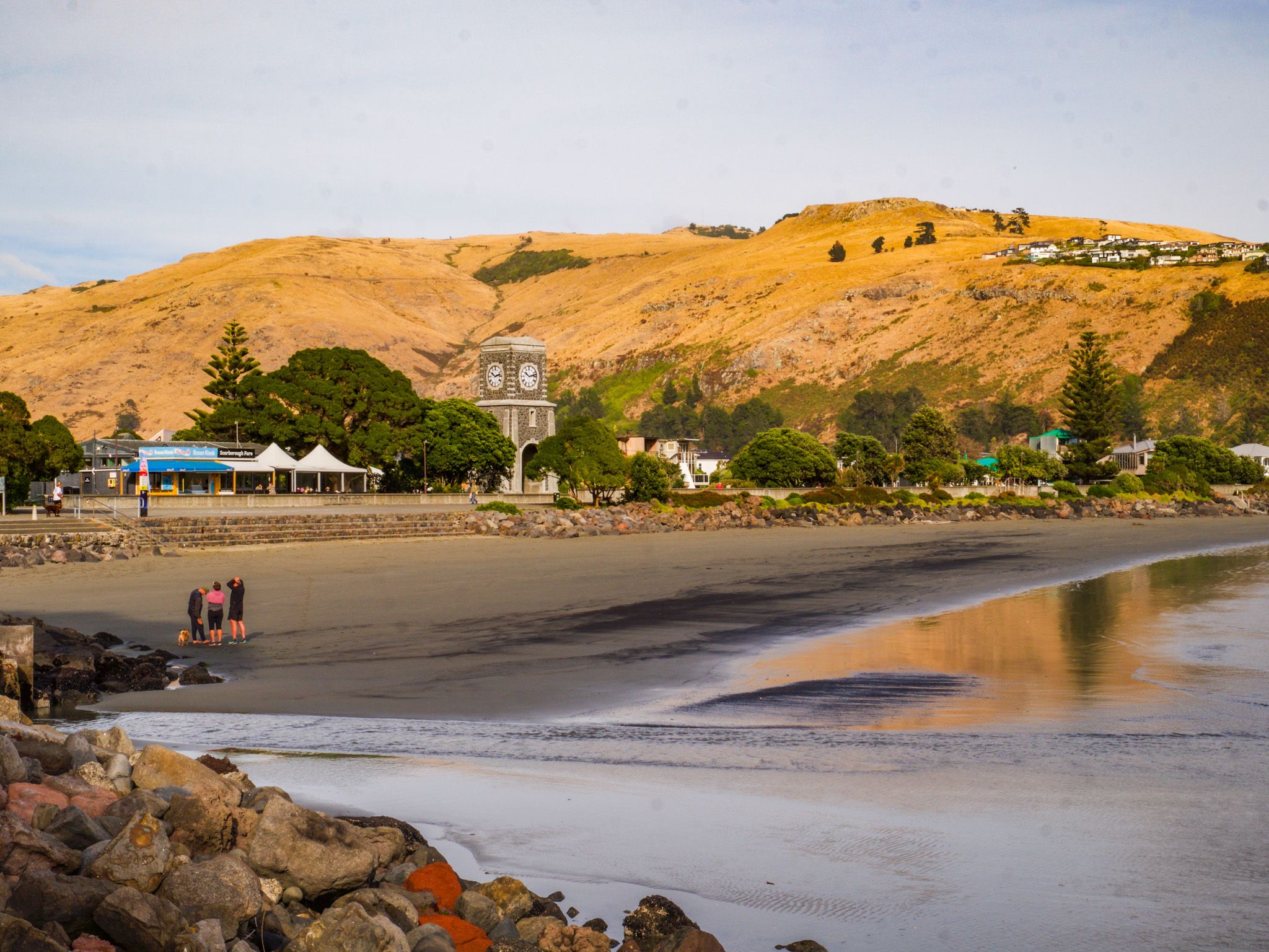
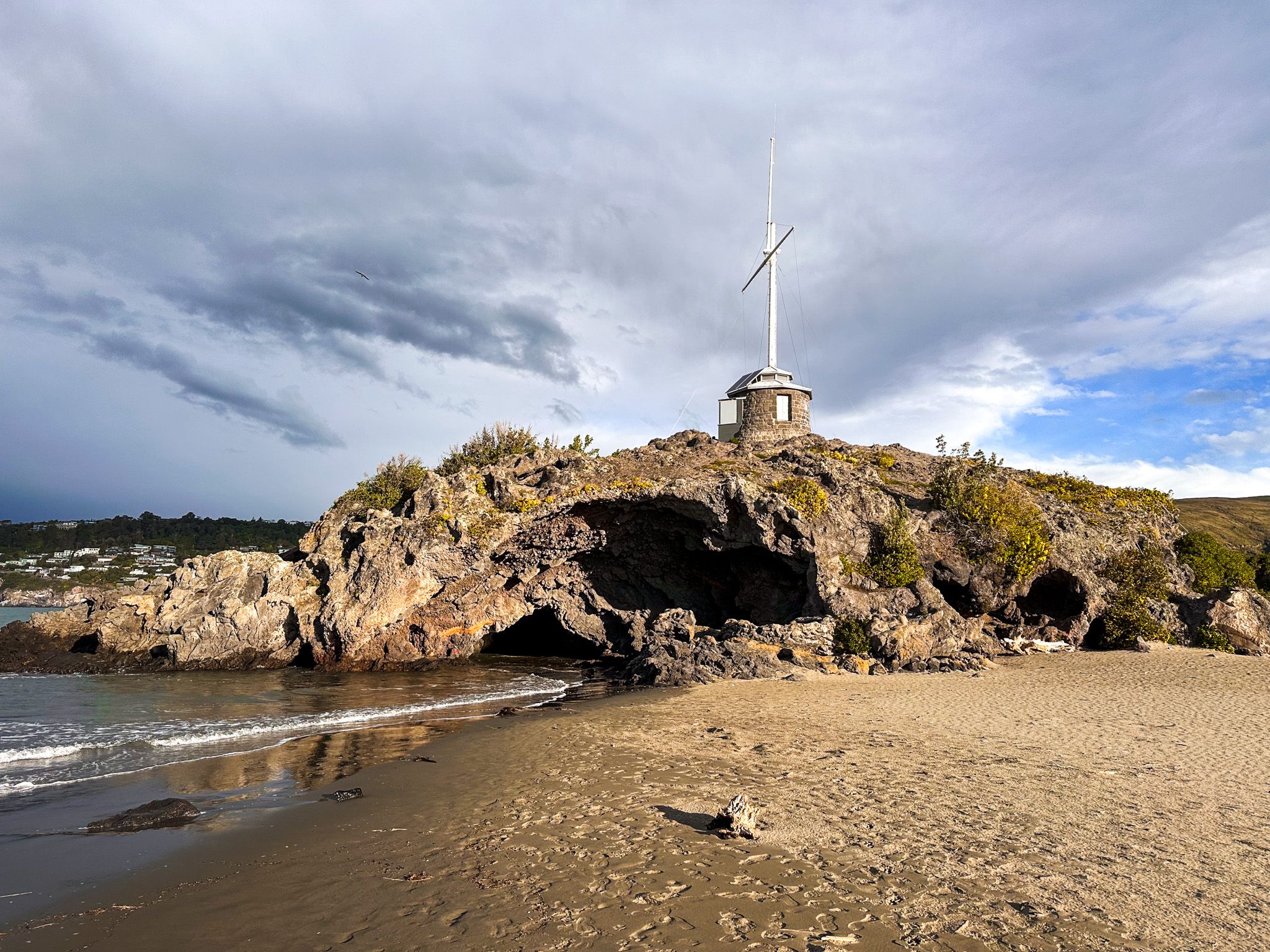
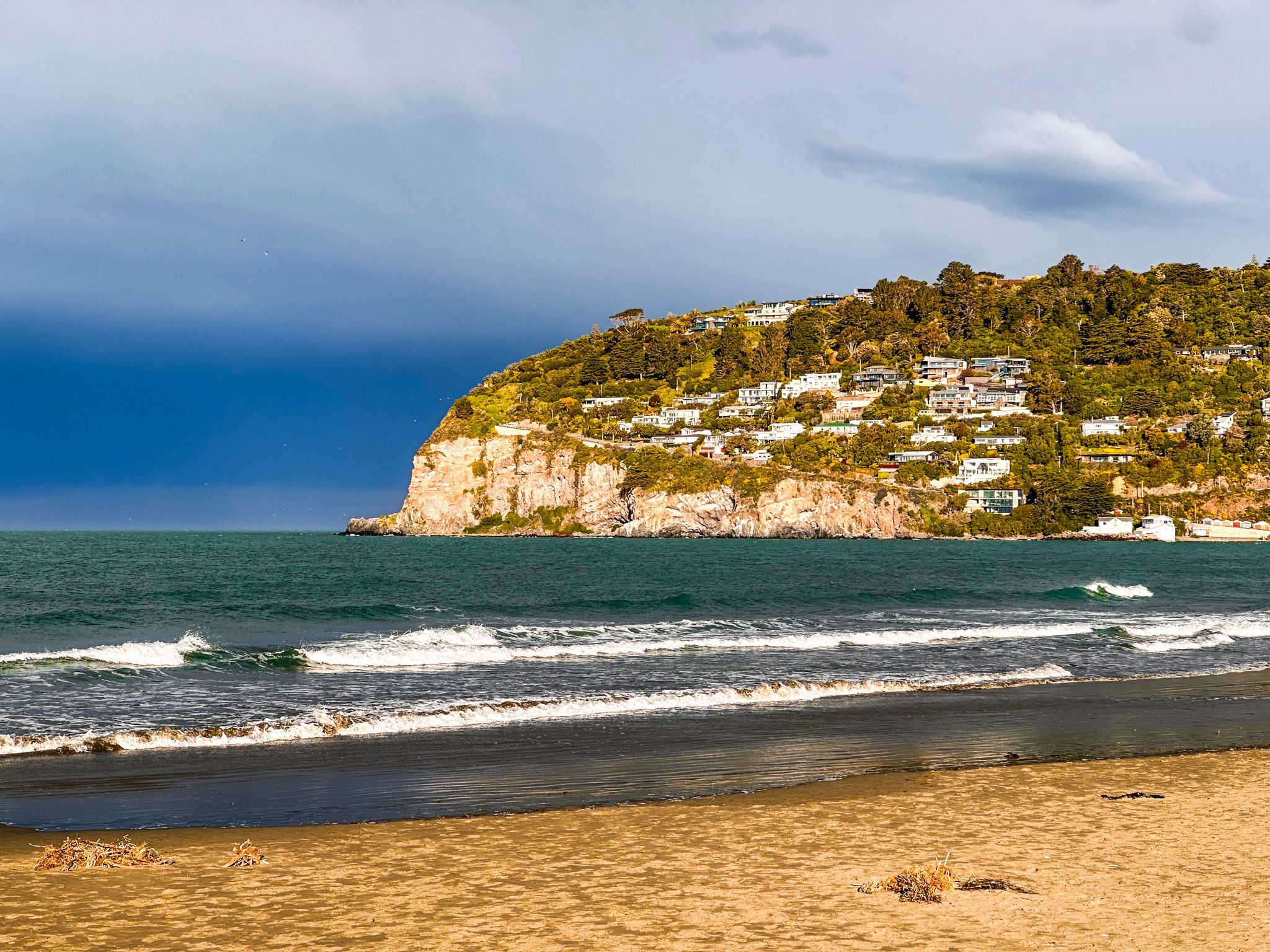
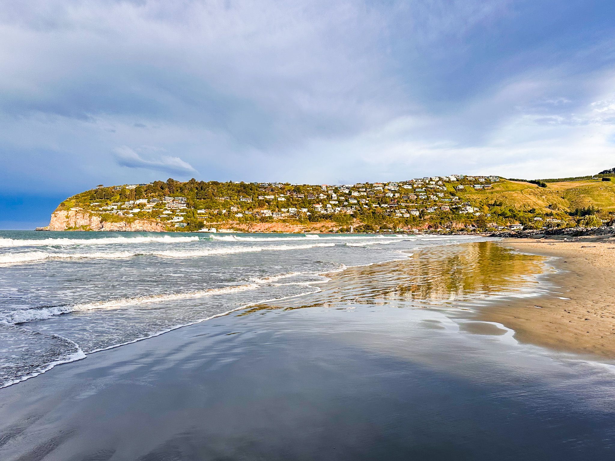
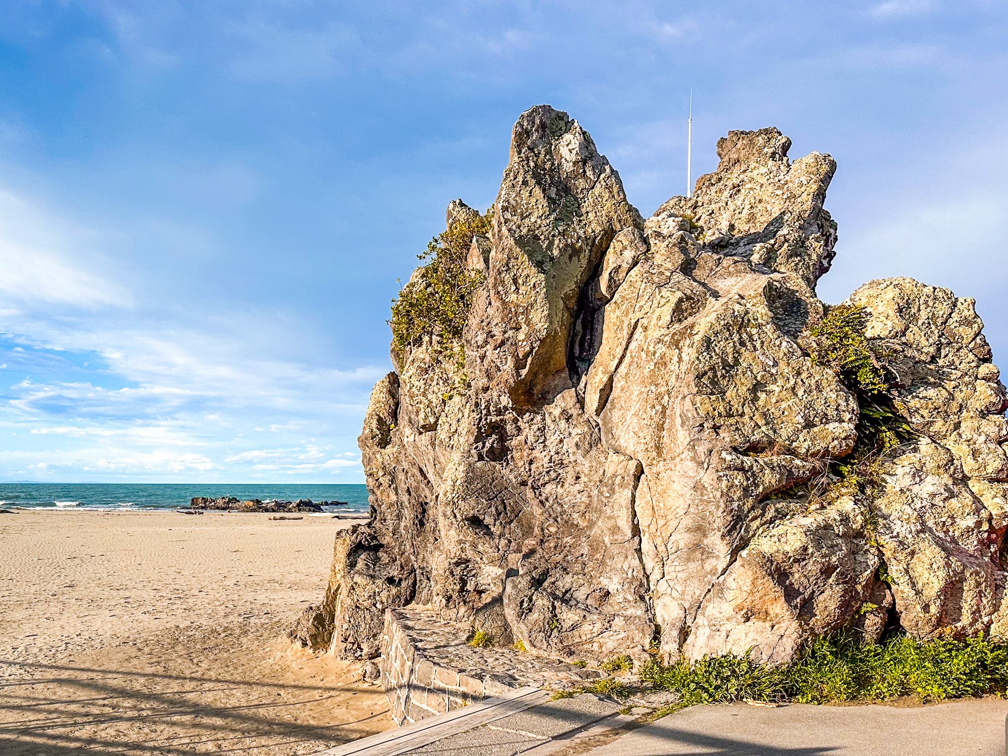
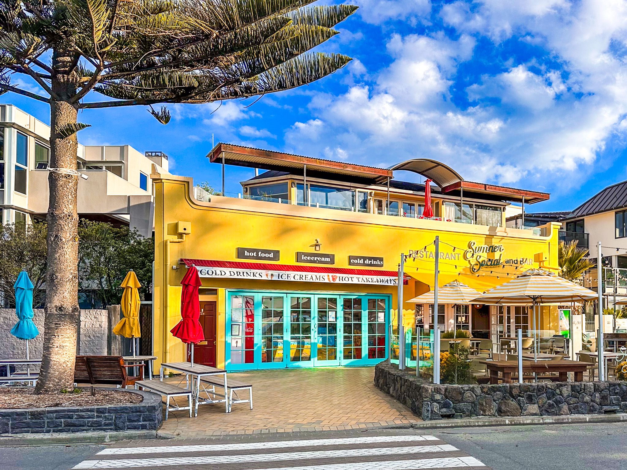
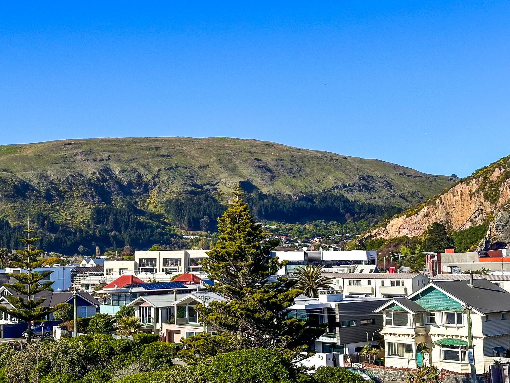
The town of Sumner is primarily situated in a deep gully within the Port Hills, with its centre near the iconic Cave Rock. Here, you'll find a variety of cafes, restaurants, and shops. The suburb is bordered by steep hills and striking red rock cliffs. To the east lies the suburb of Scarborough on Sumner Head, while Redcliffs is located to the northwest along the estuary. Access to these coastal areas is primarily via the Main Road.
Beach Activities and Scenic Walks
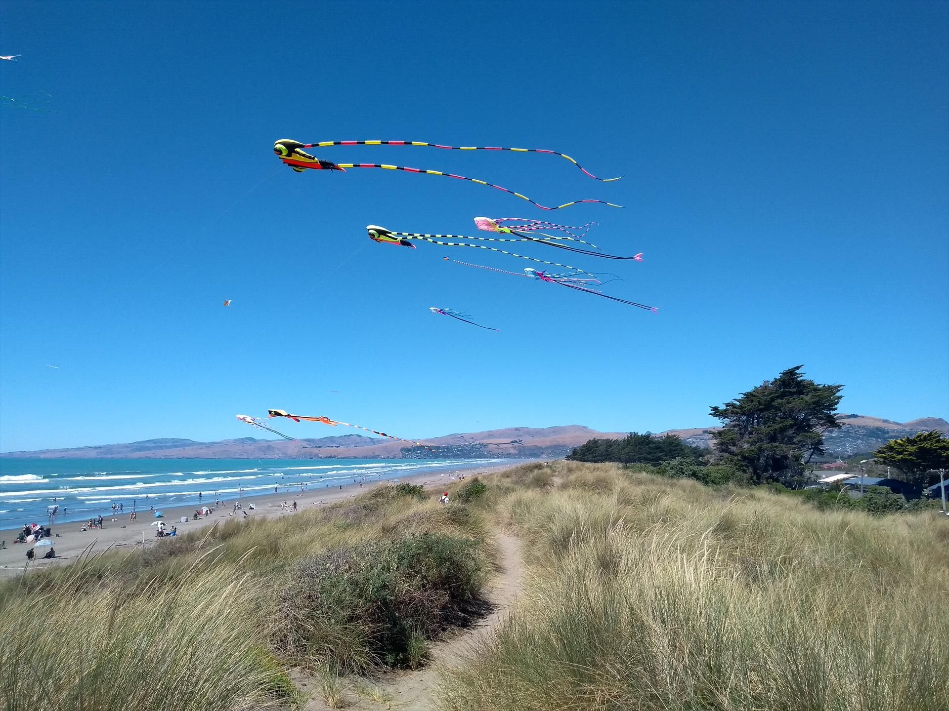
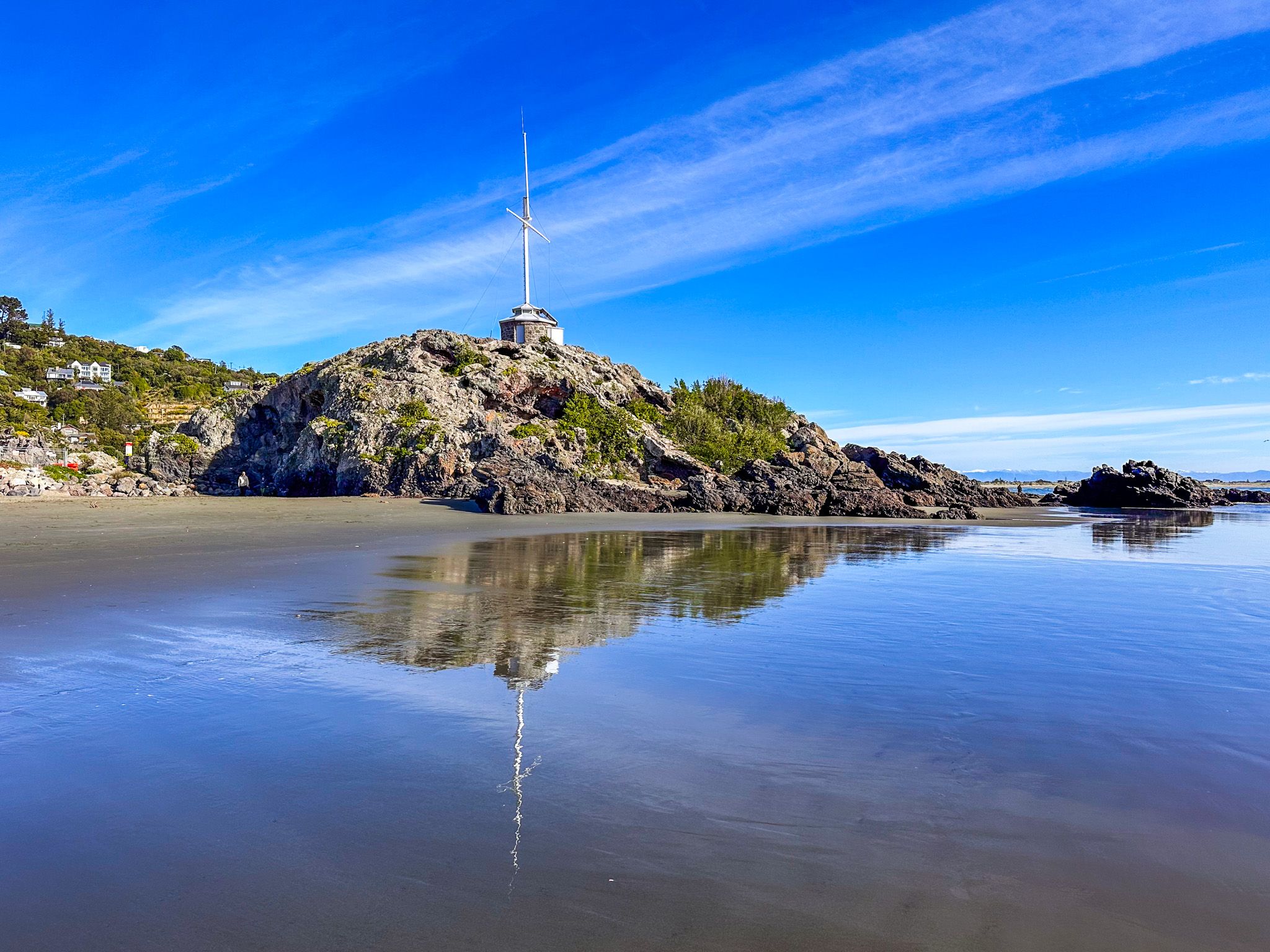
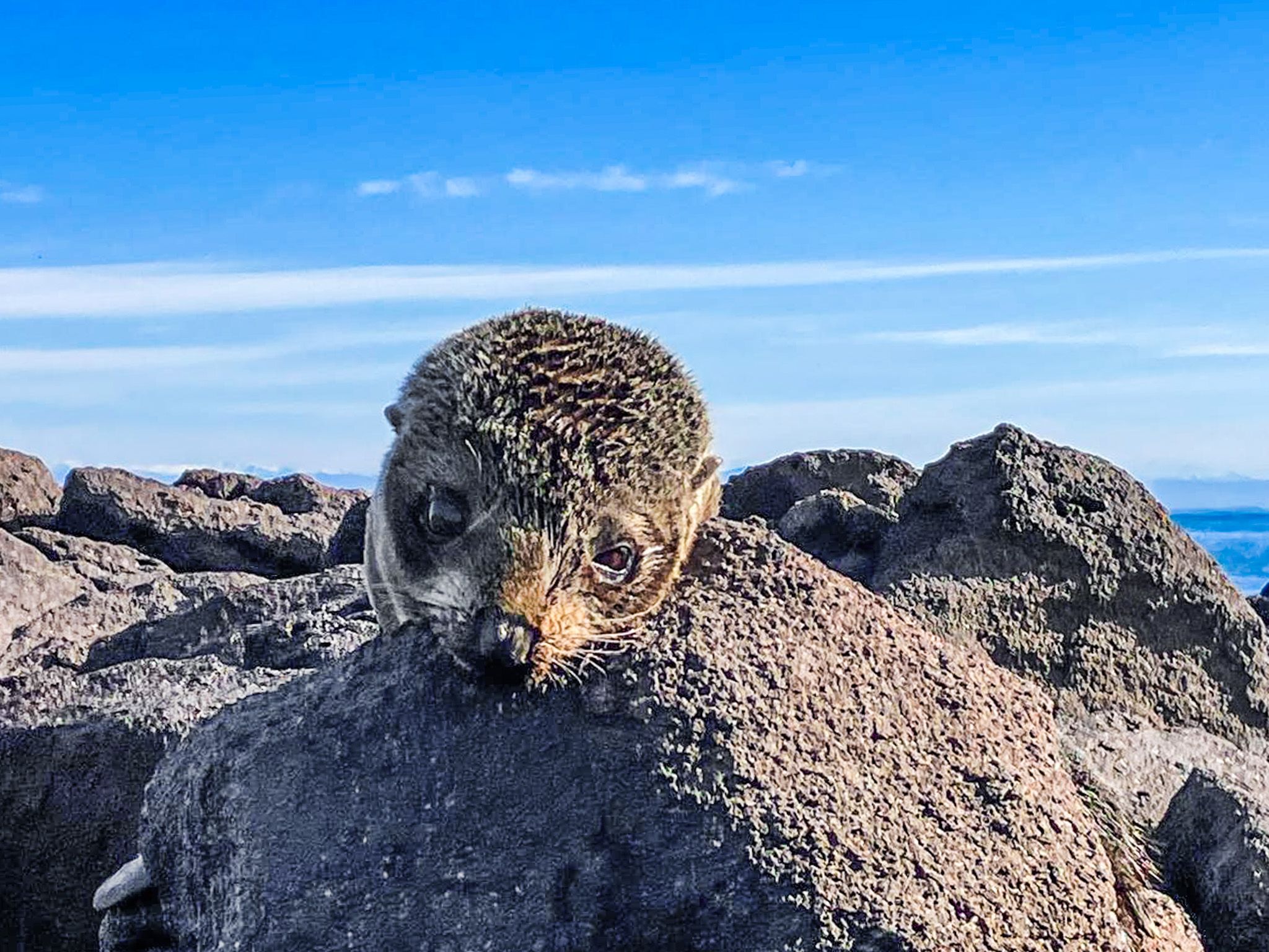
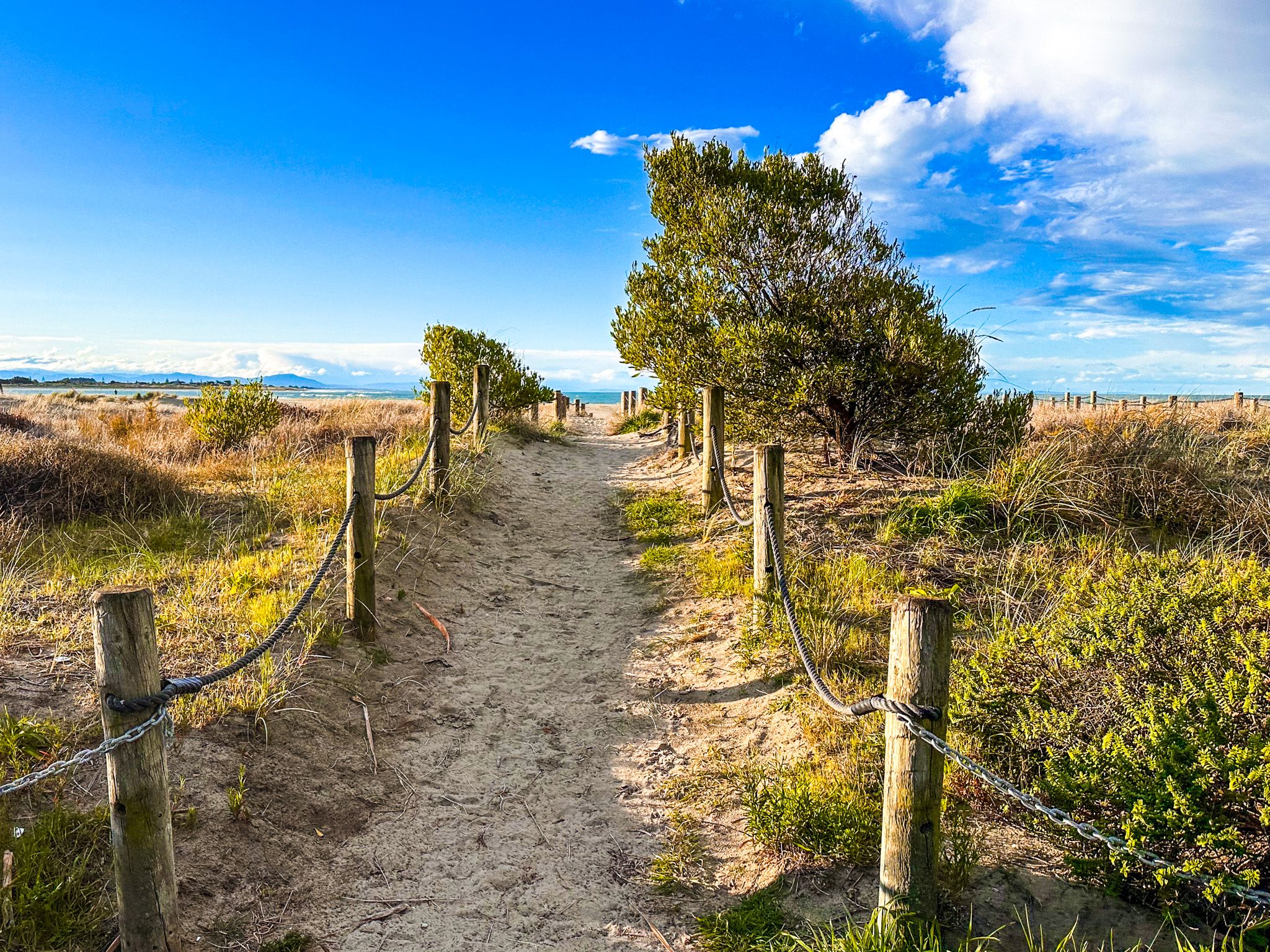
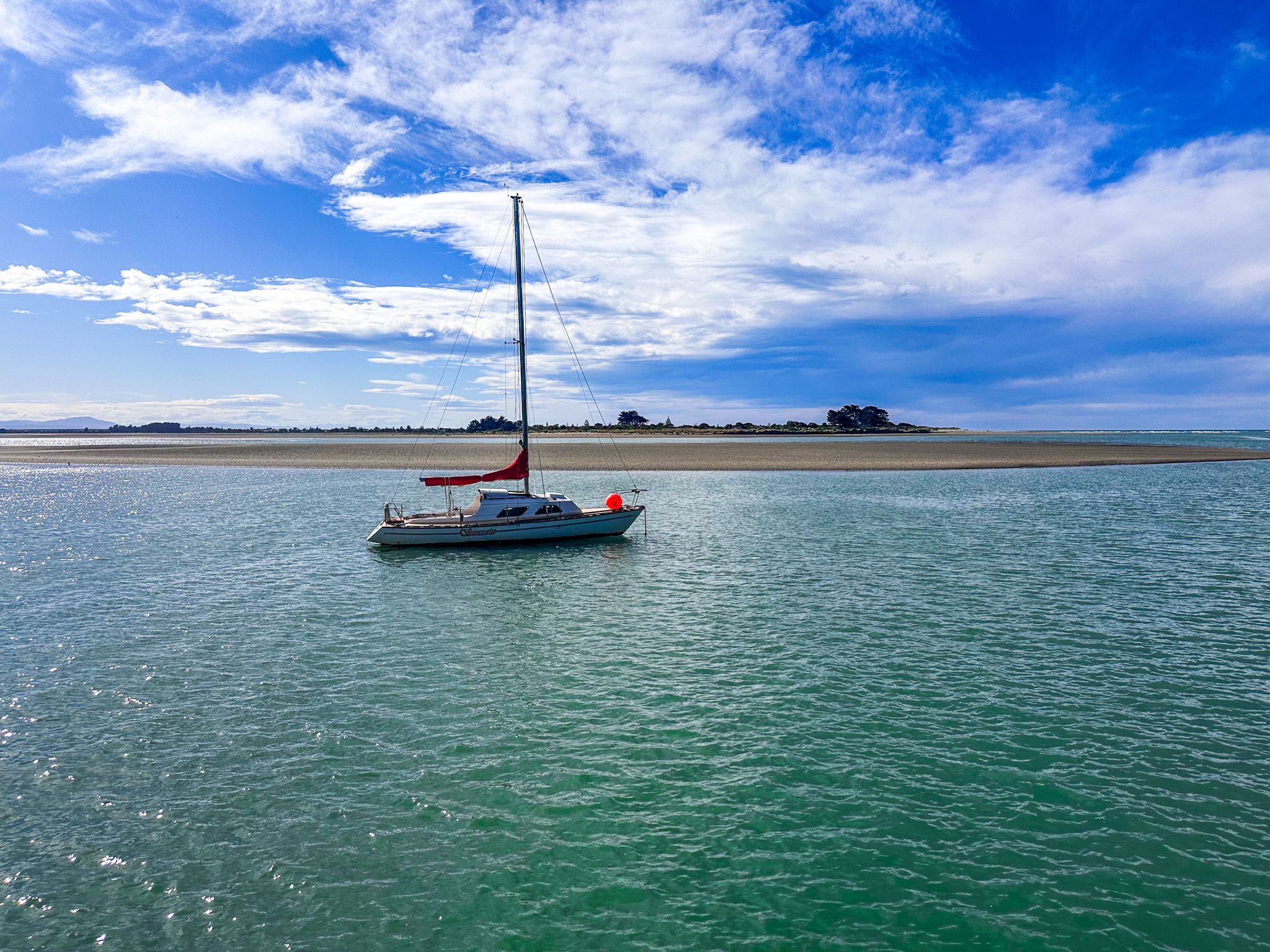
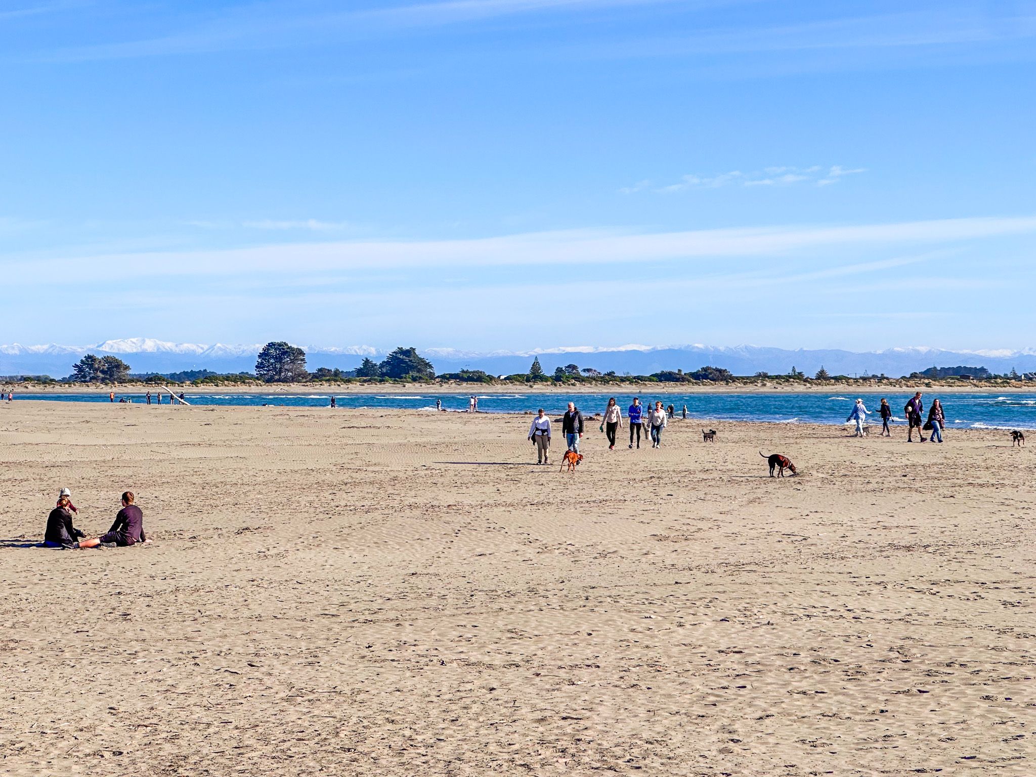
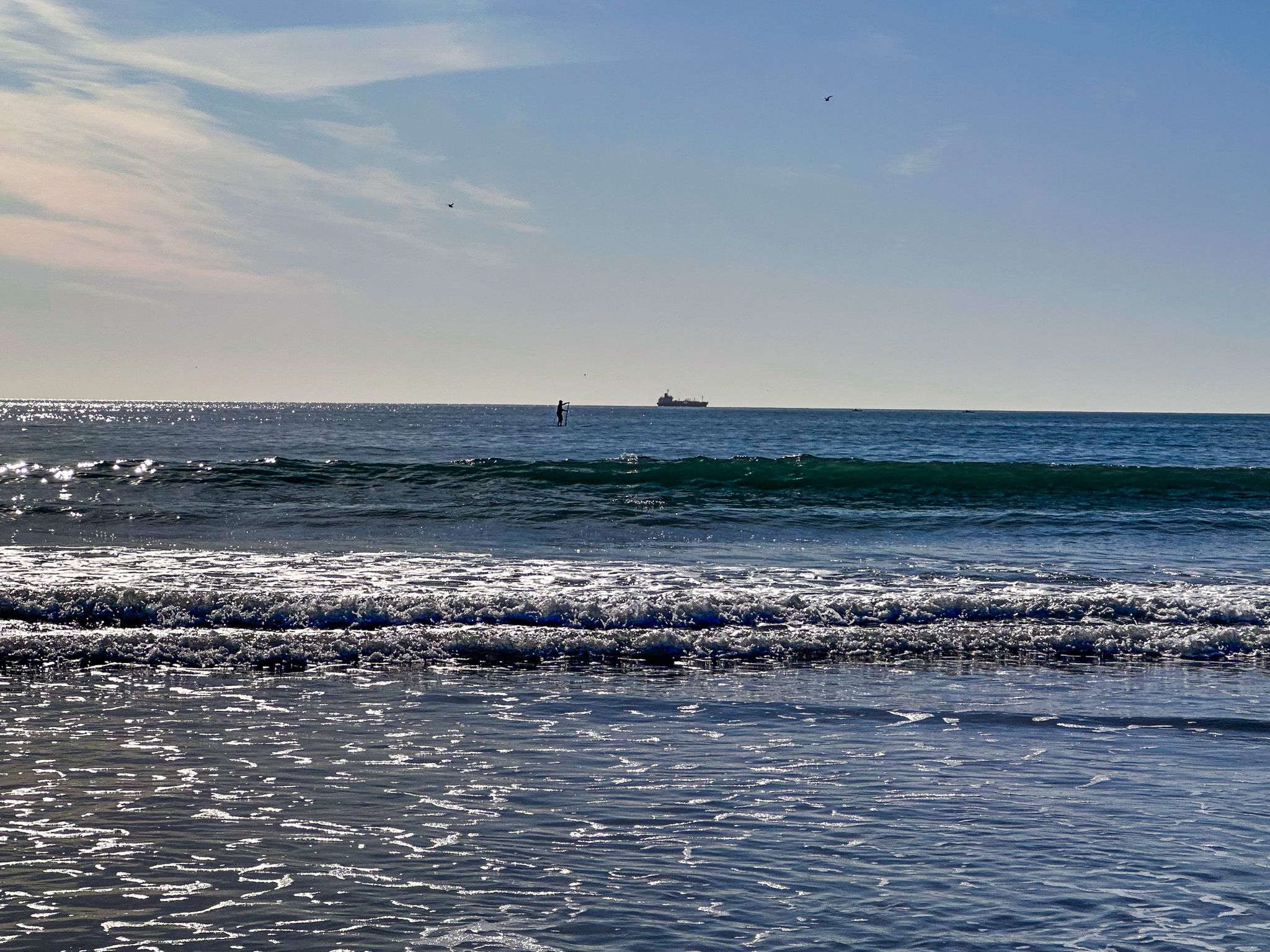
Sumner Beach stretches approximately 2.5 km and is a popular surf beach, complete with a surf life patrol and a designated swimming area from November to mid-March. While swimming at the estuary mouth and Sumner Bar is dangerous due to tidal flows and rips, these spots are favoured for fishing. Occasionally, you might spot seals blending into the rocky landscape.
When exploring the beach, you can take a short walk through and onto Cave Rock. You can also take the steep hike to Nicholson Park on Sumner Head in Scarborough. This walkway extends to Te Onepoto / Taylors Mistake and Awaroa / Godley Head at the southern end of Lyttelton Harbour. Alternatively, Evans Pass Road provides access to Summit Road, Lyttelton, and Banks Peninsula, with breathtaking views along the way.
A Glimpse into Sumner's History
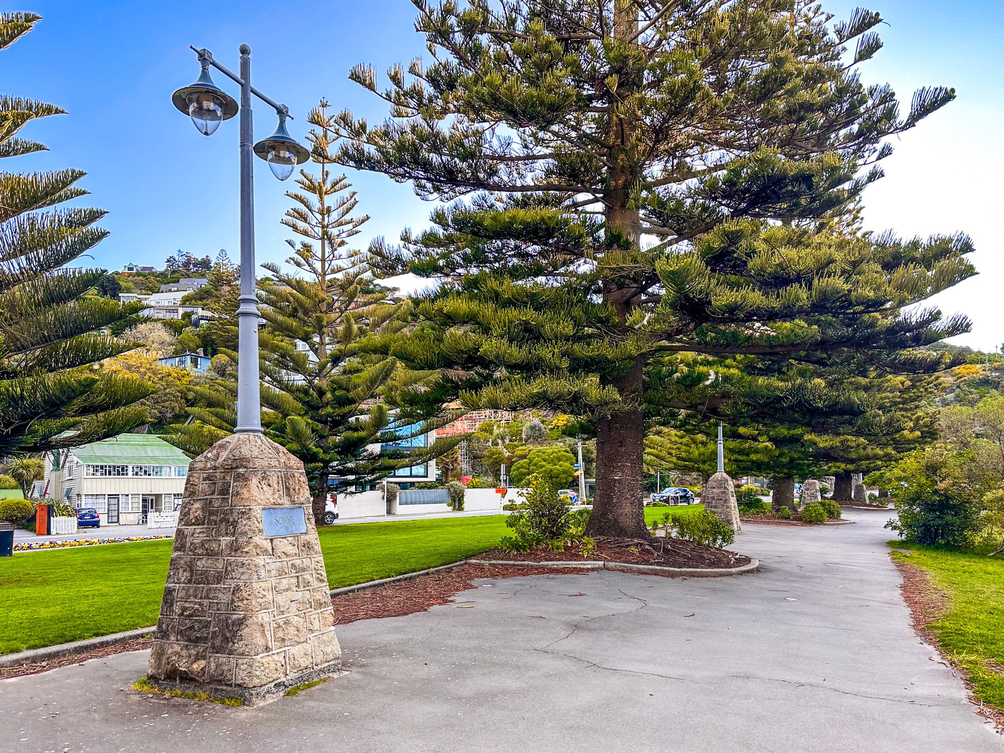
Sumner's history dates back to around 1849 when work crews building the road to Lyttelton settled the area. Surveyed by Edward Jollie in the same year, the town was named after John Sumner, the Archbishop of Canterbury. The introduction of a tram link in 1888 made Sumner a popular resort, further enhanced by the unusual volcanic formation of Cave Rock. Car access improved significantly in 1937 with the addition of Main Road to the tram causeway across McCormacks Bay. This served as the main link between Christchurch and Lyttelton until the road tunnel's completion in 1964.
Impact of the Christchurch Earthquakes
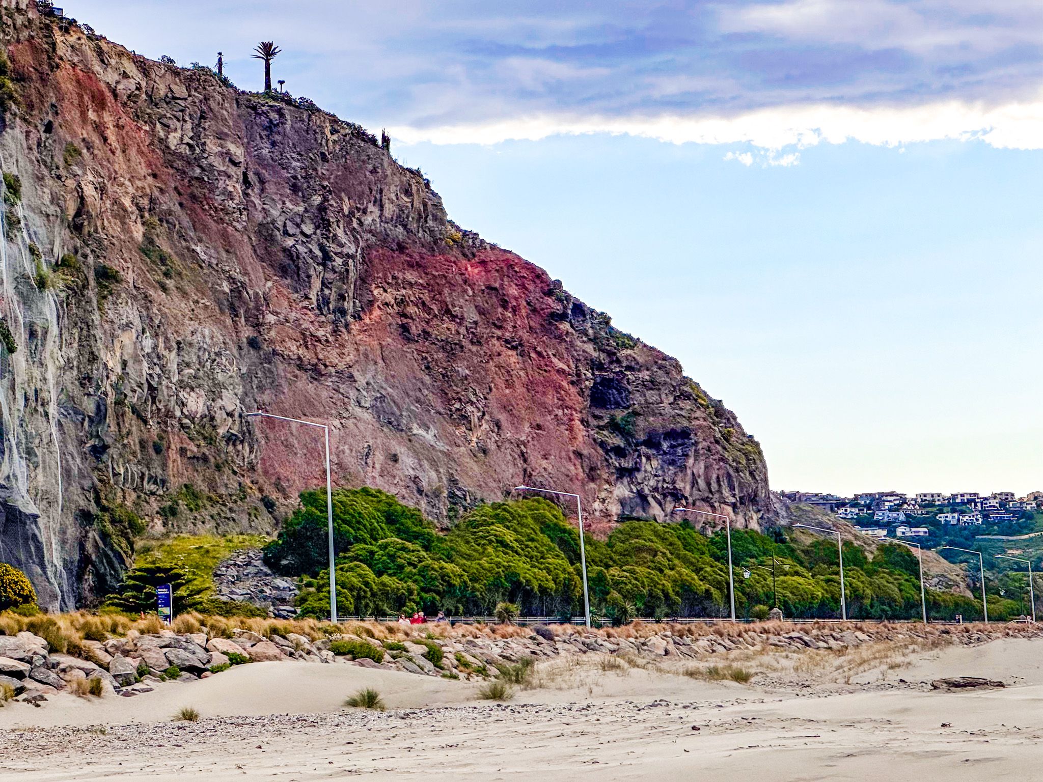
The 2011 Christchurch earthquakes had a significant impact on Sumner and its neighbouring suburbs. Many homes and buildings were damaged or destroyed, and the striking red cliffs experienced landslides. Some cliff areas were initially cordoned off with shipping containers, later replaced by fences. Shag Rock (Rapanui), located at the western end of the beach, was shattered and reduced to a pile of boulders.
Cultural Significance and Māori Names
The Ngāi Tahu name for the beach between Cave Rock (Tuawera) and Scarborough is Matuku Tako Tako, a name also used by the local state primary school and city libraries. AW Reed mentions the Māori name for the area as Ohikaparuparu, though there is some debate about its exact location. It may refer to just the estuary shallows, as it means "fall in the mud."
Getting to Sumner
To reach Sumner, head east from Central Christchurch city centre via Herford Street, which transitions into Linwood Avenue, then Humphries Drive, followed by Main Road. This route will take you directly to the coastal suburb. Once there, ample parking is available along I cannot find he broken links in Sumner.Main Road and the Esplanade. The drive takes 21 minutes and is 12.2 km.
To the north of Sumner, you can also explore New Brighton and Southshore on Pegasus Bay.