Crater-Lake Hike between Ruapehu and Ngāuruhoe
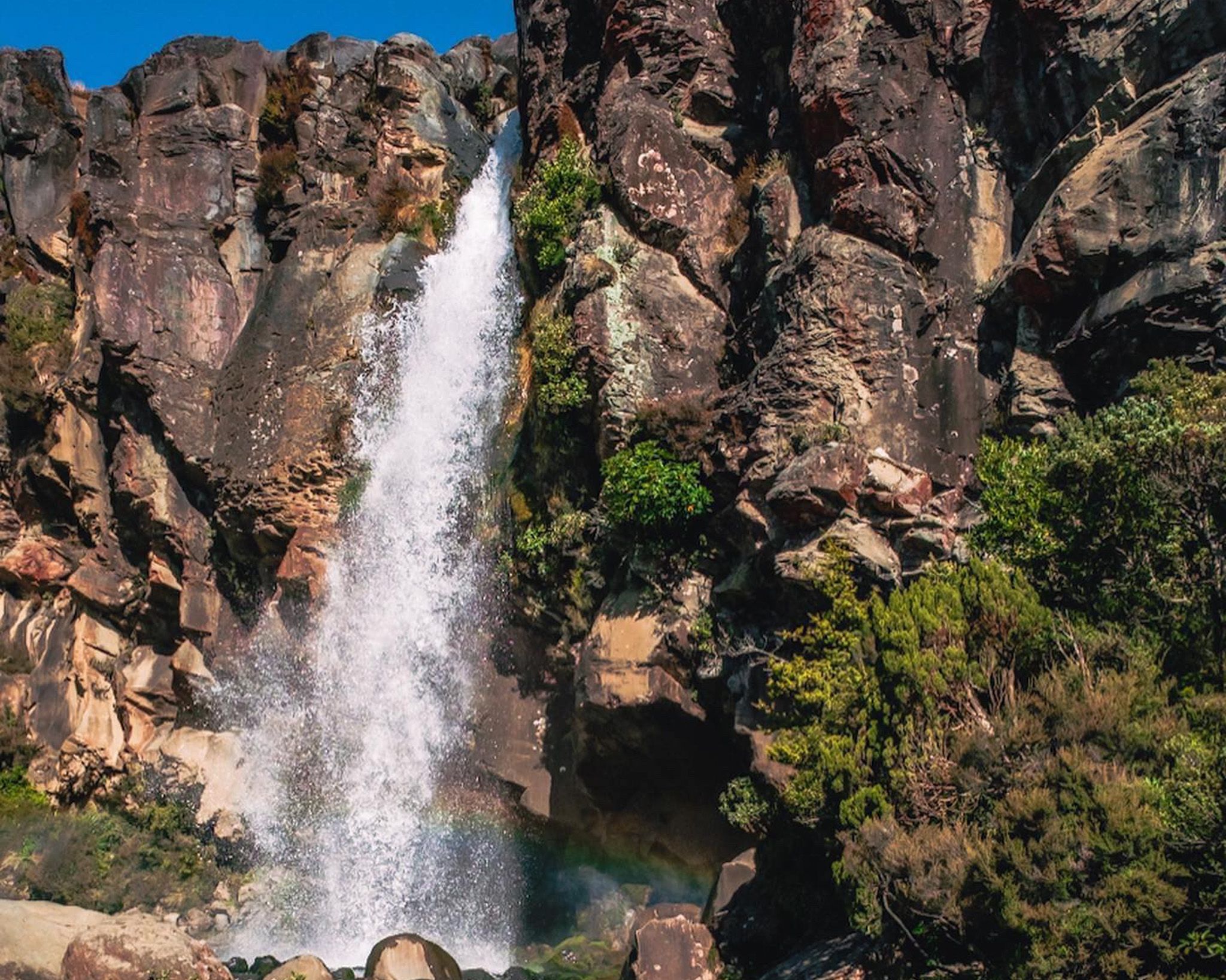
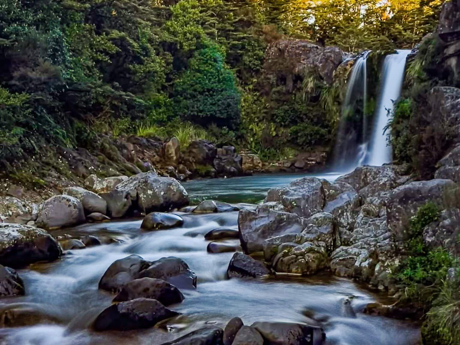
The Tama Lakes Track is a day walk from Whakapapa Village in Tongariro National Park, in the open saddle country between Mt Ruapehu and Mt Ngāuruhoe, with fabulous views. The walk begins on the Taranaki Falls Track, then continues beyond the falls into tussock and alpine herb fields toward Tama Saddle, at over 1,300 metres.
Volcanic Basins, Tussock Flats, and Big-Sky
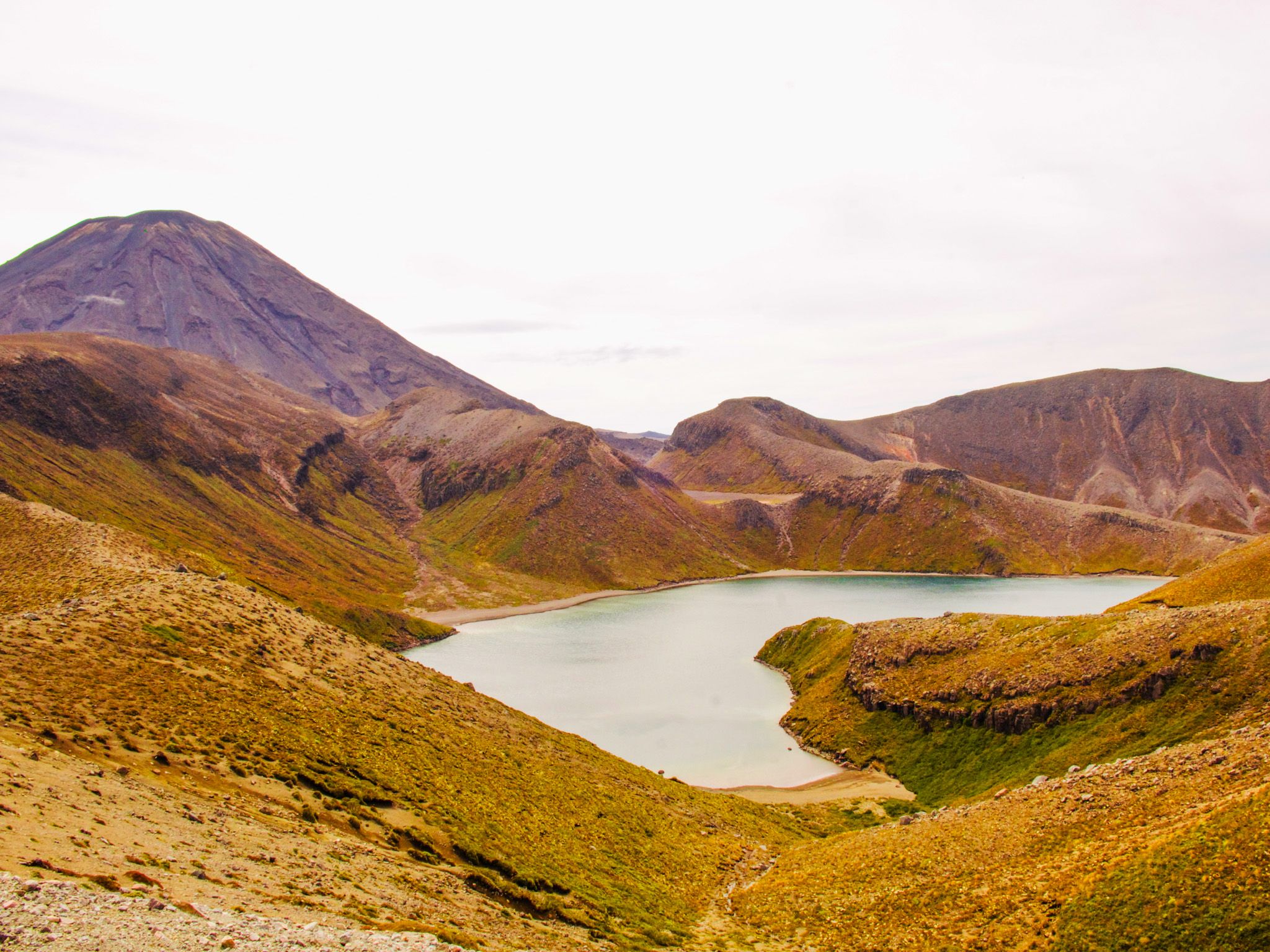
Tama Lakes are two crater lakes that fill explosion craters on Tama Saddle. The track reaches a viewpoint above Lower Tama Lake; it does not drop to the water’s edge, and the ground around the craters is steep and can be loose.
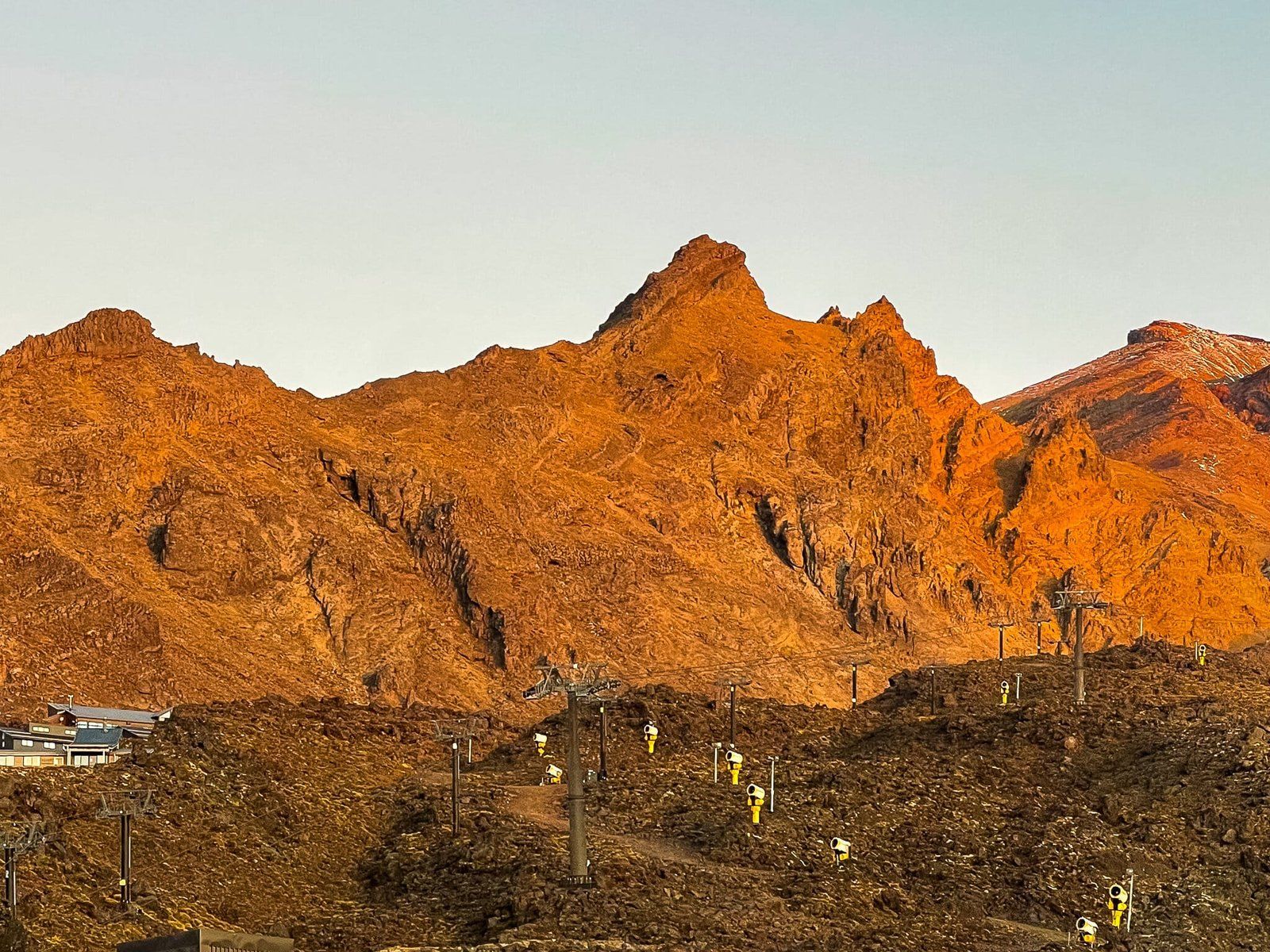
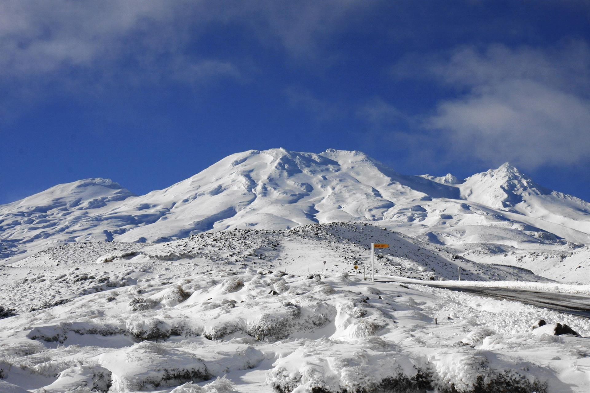
The walk sits above the forest line, apart from the optional northern side of the Taranki Falls loop. with wide views across tussock benches, scoria slopes, and ash- and lava-shaped terrain. You can clearly see the distinct forms of Ruapehu to the south-west and Ngāuruhoe to the north-east in good weather conditions.
The Track Experience
From Whakapapa, starting at an elevation of 1,140 metres, the first section follows a well-formed track through rolling open volcanic plateau country before reaching Taranaki Falls (a 20 m drop) at 1,200 metres. From there, it is a longer hike on to the Tama Saddle across more rolling and exposed terrain. The landscape becomes more alpine and open, with fewer sheltered spots in the wind. The main turnaround is the saddle viewpoint above Lower Tama Lake.
A steeper, untracked side trip can also be followed toward Upper Tama Lake viewpoints. This area is more exposed, with a steep 100 metre climb, and is more likely to hold snow and ice in Winter.
The Tama Lakes route is about 17.6 km return (out-and-back) and commonly takes around 5–6 hours depending on conditions. Be aware that this is an exposed mountain environment, and conditions can change quickly. If you are doing the hike in Winter, there may be snow and ice on the saddle, especially if you hike towards Upper Tama Lake. Even in Summer, cold weather, low cloud and wind are possible, so check the forecast before you start. Good footwear is strongly recommended.
The track is also a section of the Tongariro Northern Circuit, one of the Great Walks.
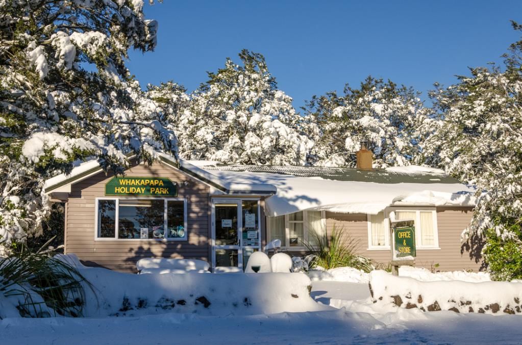
Facilities around Whakapapa Village
Whakapapa Village is the main base for this walk. Facilities are limited once you leave the village area, so carry your own food, water, and layers.
How to Get There
From Wellington, drive north on State Highway 1 to Waiouru, then take the Tongariro / Whakapapa turn-offs via State Highway 49 to State Highway 47 around the west side of Mt Ruapehu, then State Highway 48 to Whakapapa Village. From Auckland, head south on SH1 via Hamilton and Taupō, then take State Highway 47 to Waimarino and State Highway 48 to Whakapapa. The track starts near the Tongariro National Park Visitor Centre and follows the Taranaki Falls Track first.
Nearby is the more famous Tongariro Crossing. Other places to visit include the Bruce Road, Tawhai Falls, Makatote Viaduct and Smash Palace on the way to Ohakune.
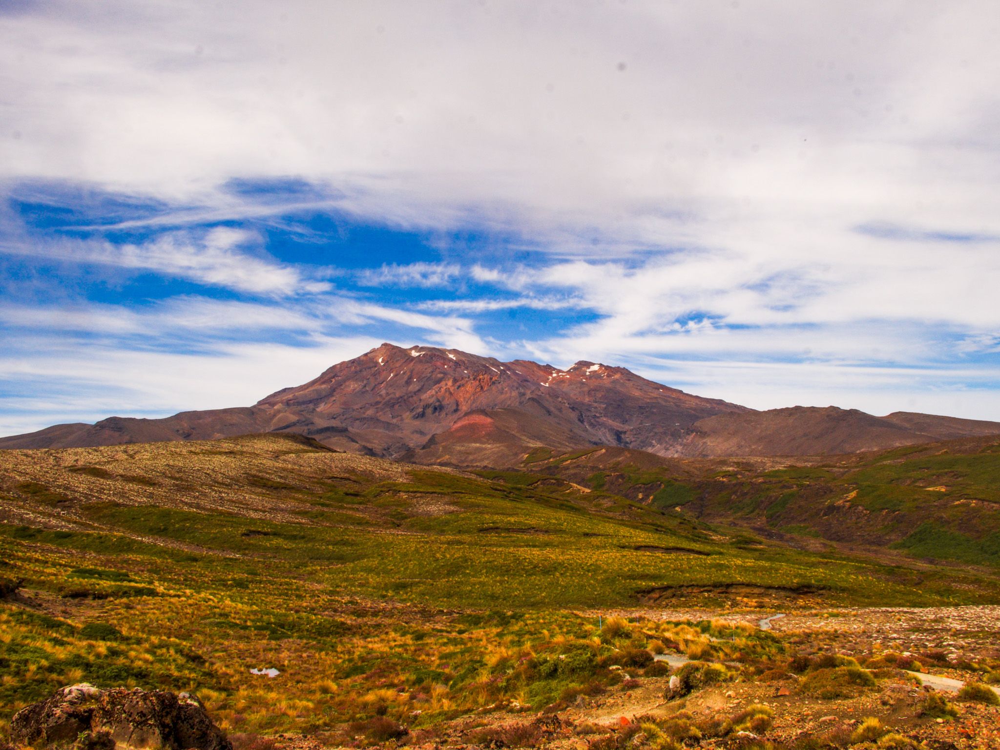
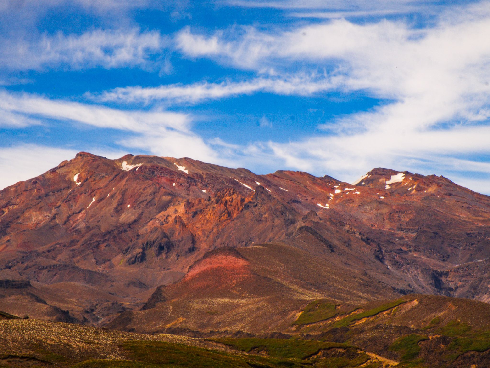
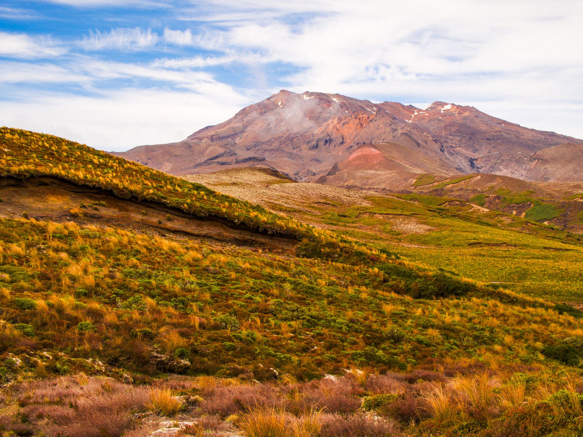
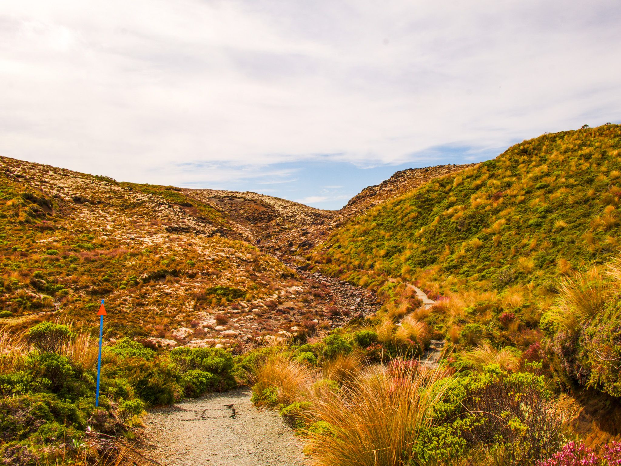
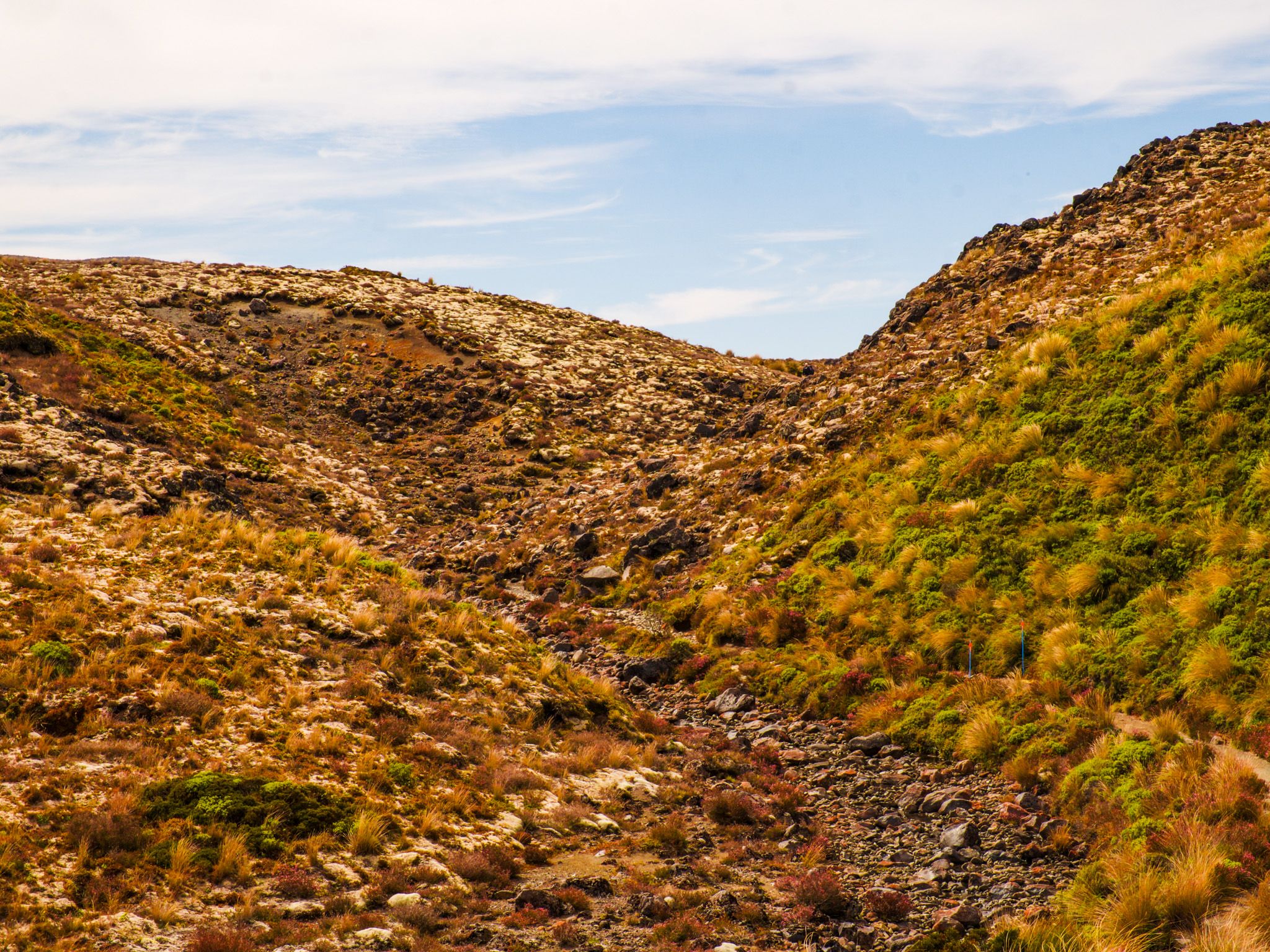
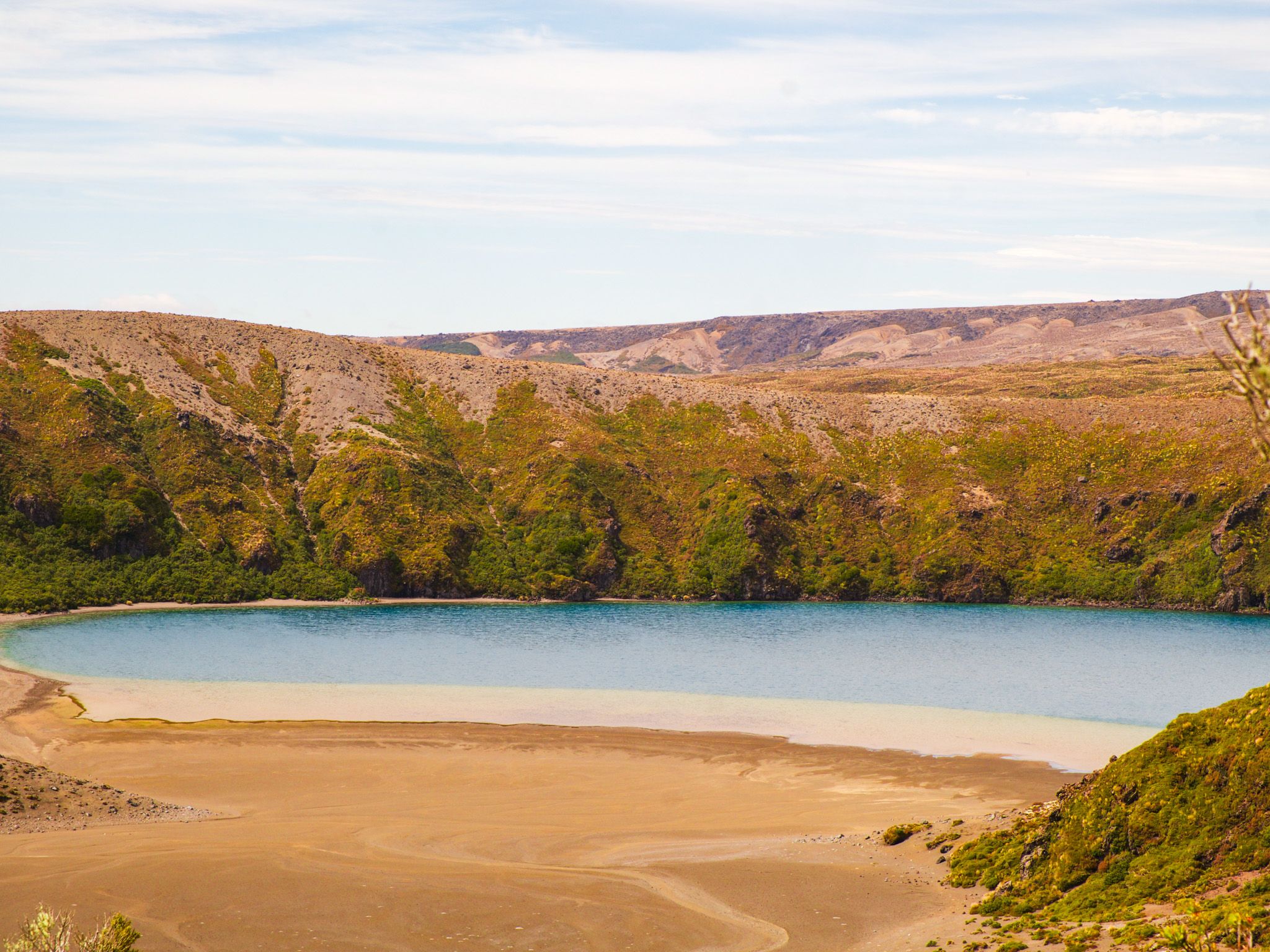
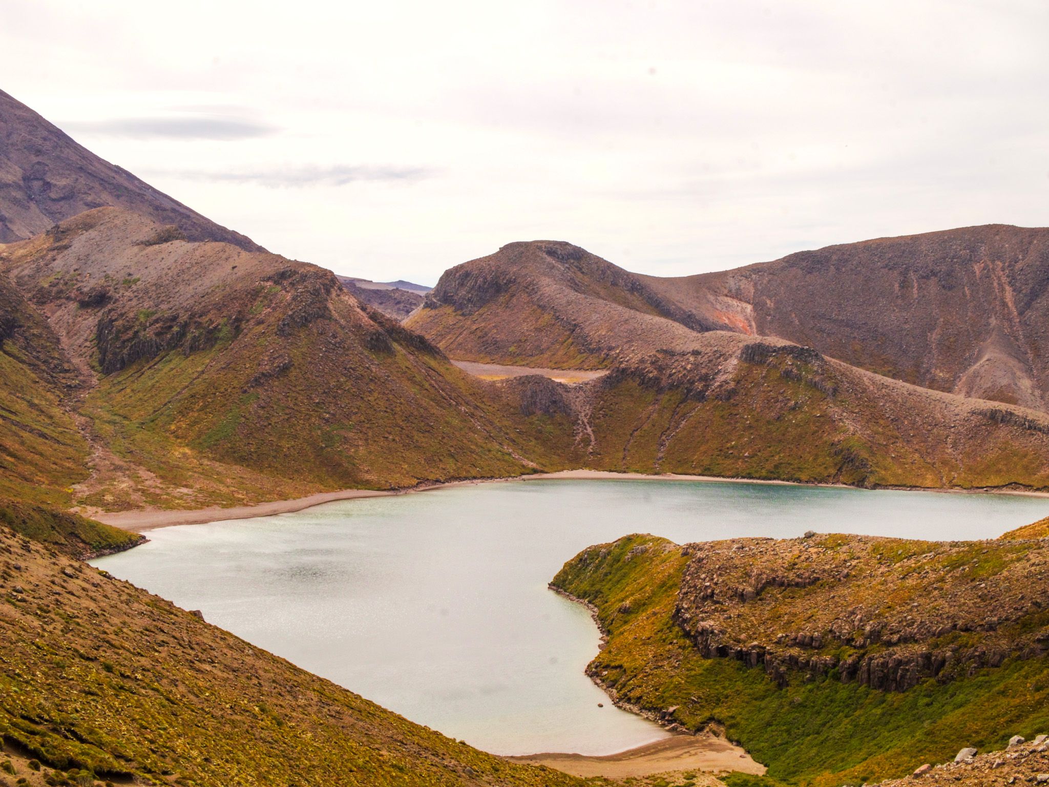
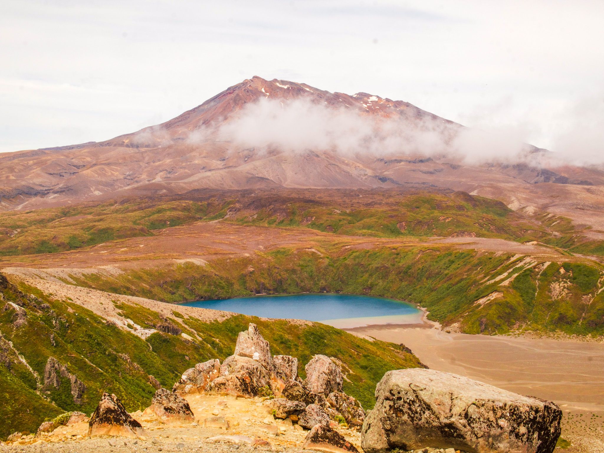
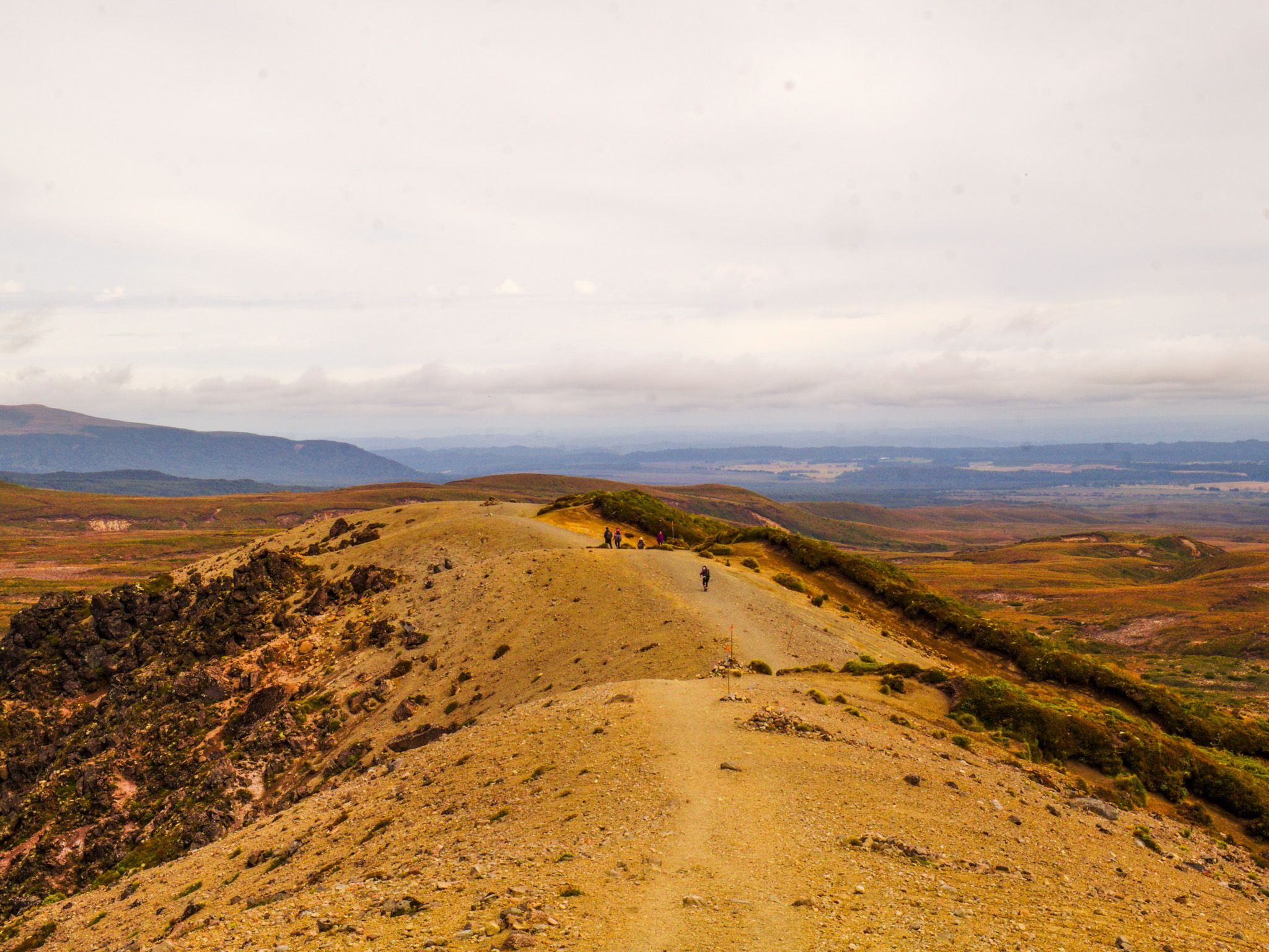
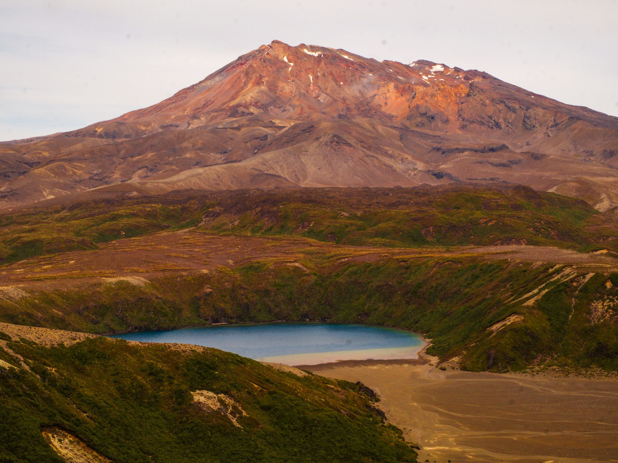
Photo Credit: Josh Sovine, @shua.sovine