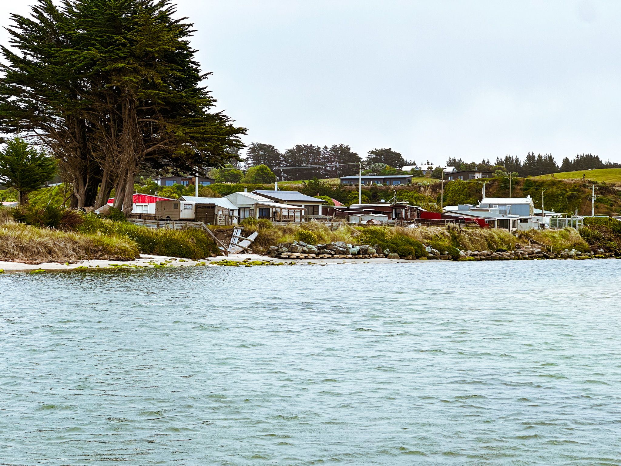
A Crib Community at the End of the Road
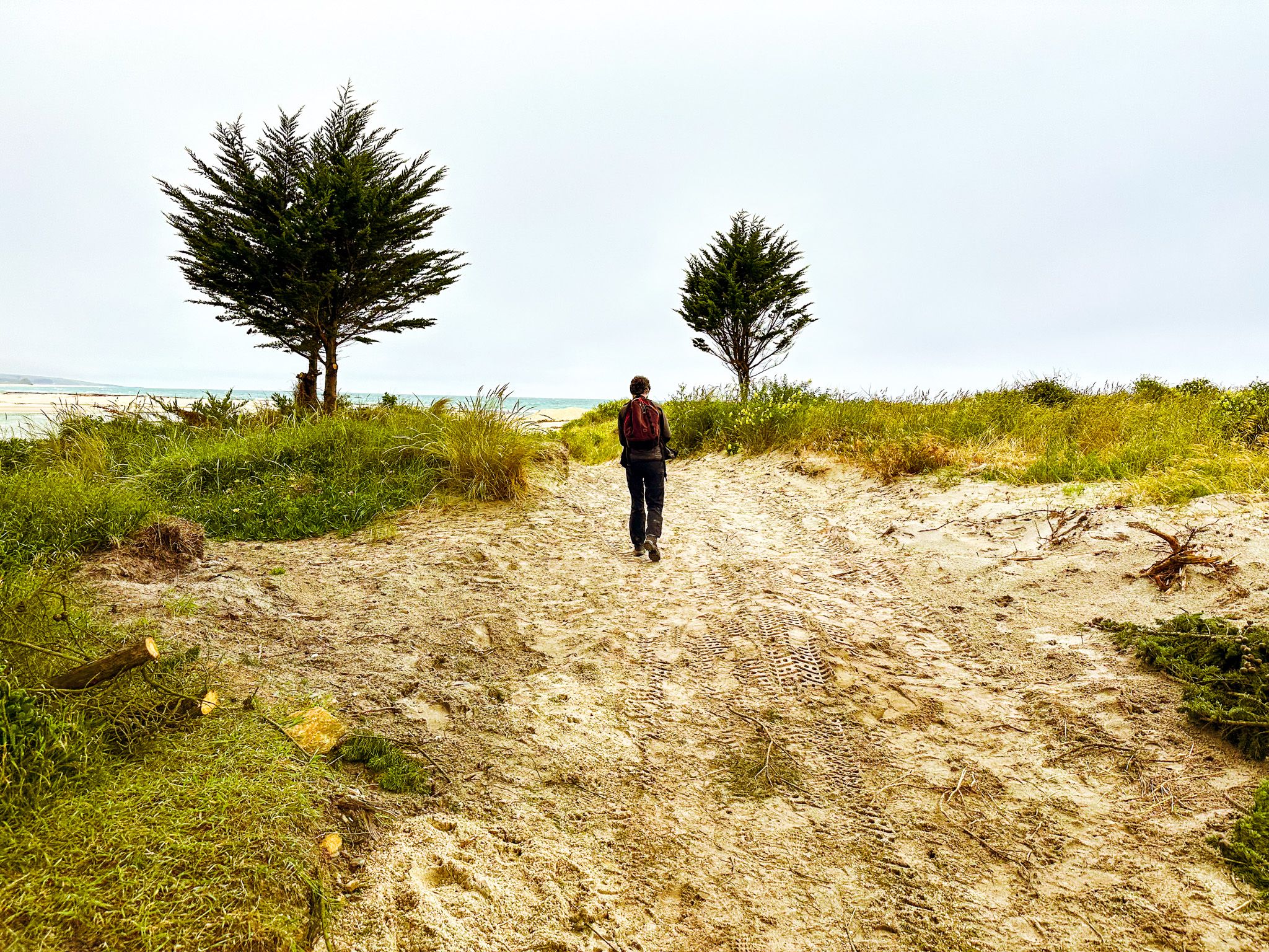
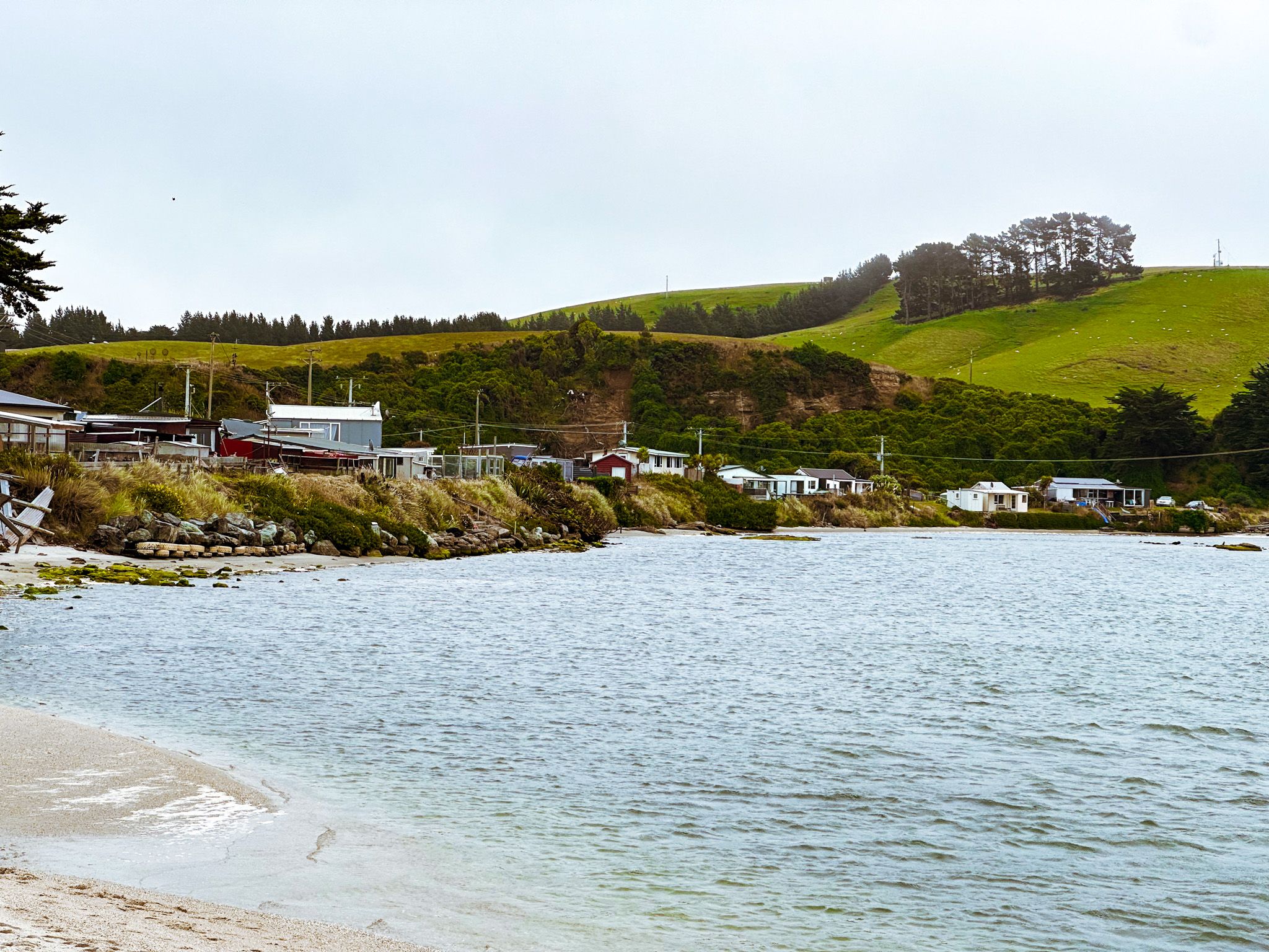
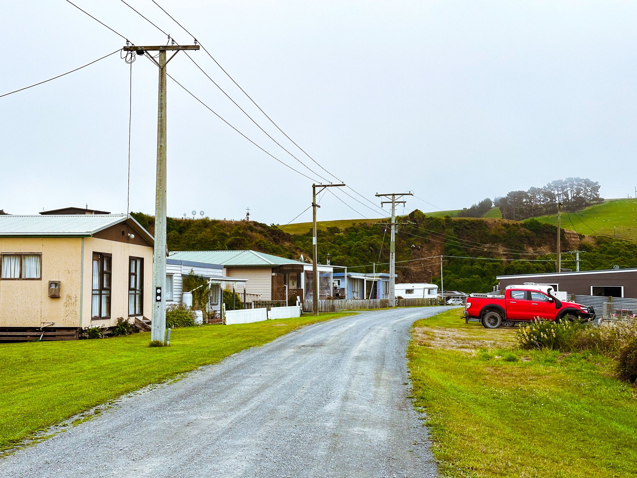
Toko Mouth is a small holiday settlement at the mouth of the Tokomairaro River, about 50 km south of Dunedin and 15 km southeast of Milton on the Pacific Coast. Around 70 cribs cluster beside the river and the sea, most of them occupied only in Summer. Reached by 15 km of gravel road, with no shops and no services, it is one of those South Island stunning and remote coastal places that most New Zealanders have never heard of.
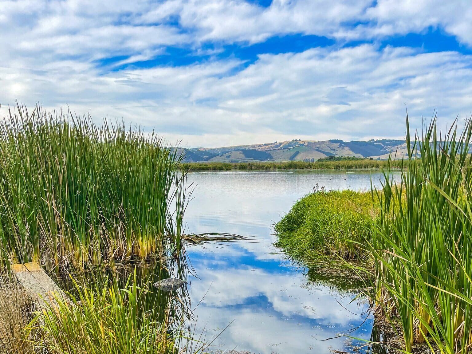
The River, the Estuary, and the Birds
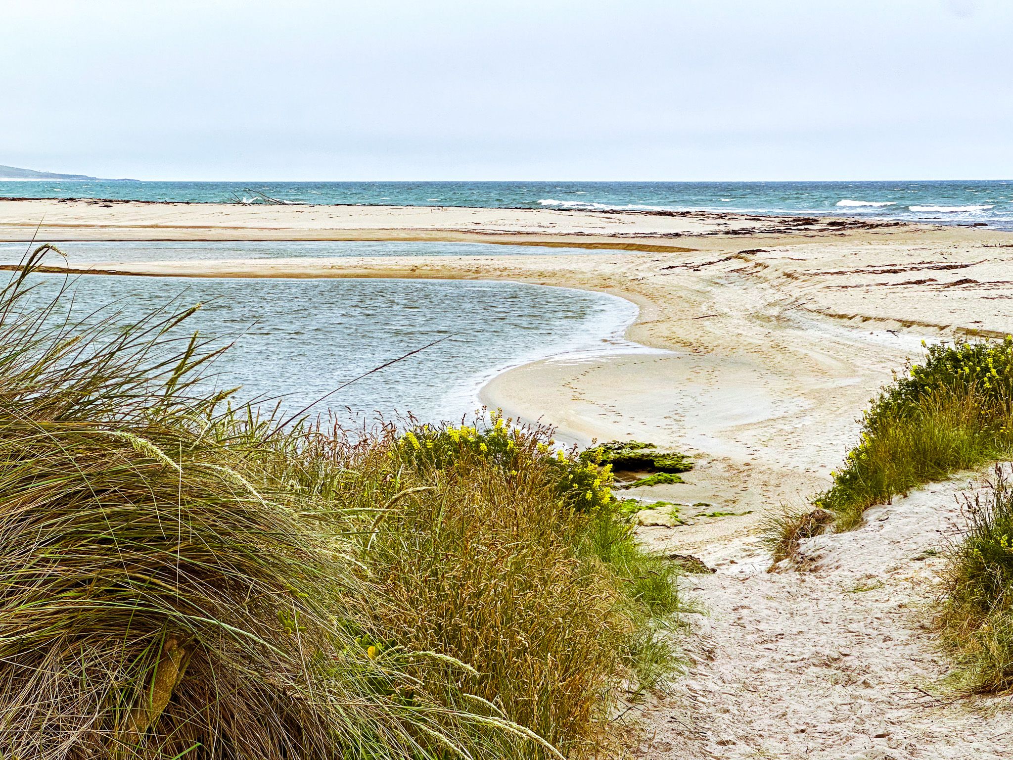
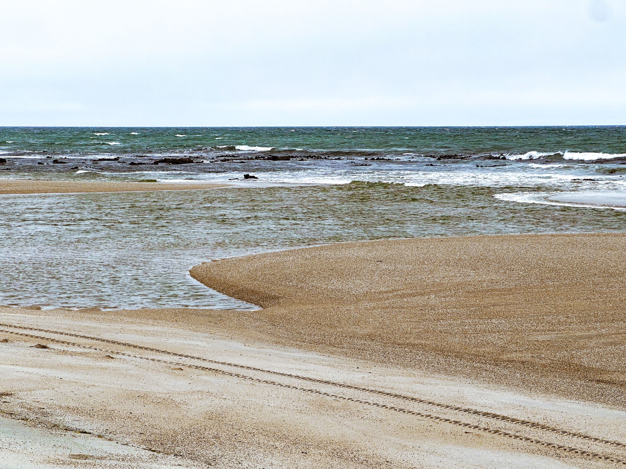
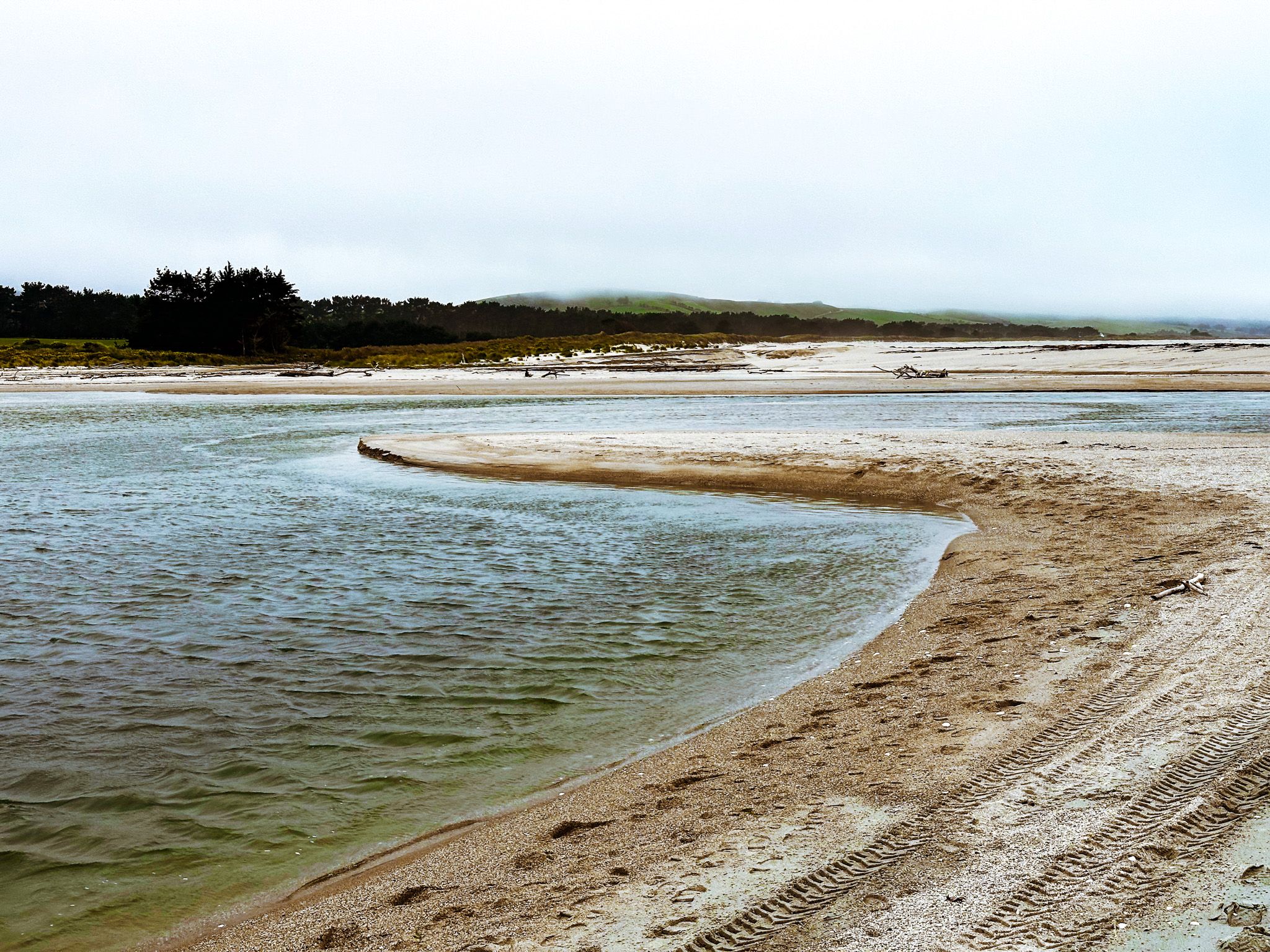
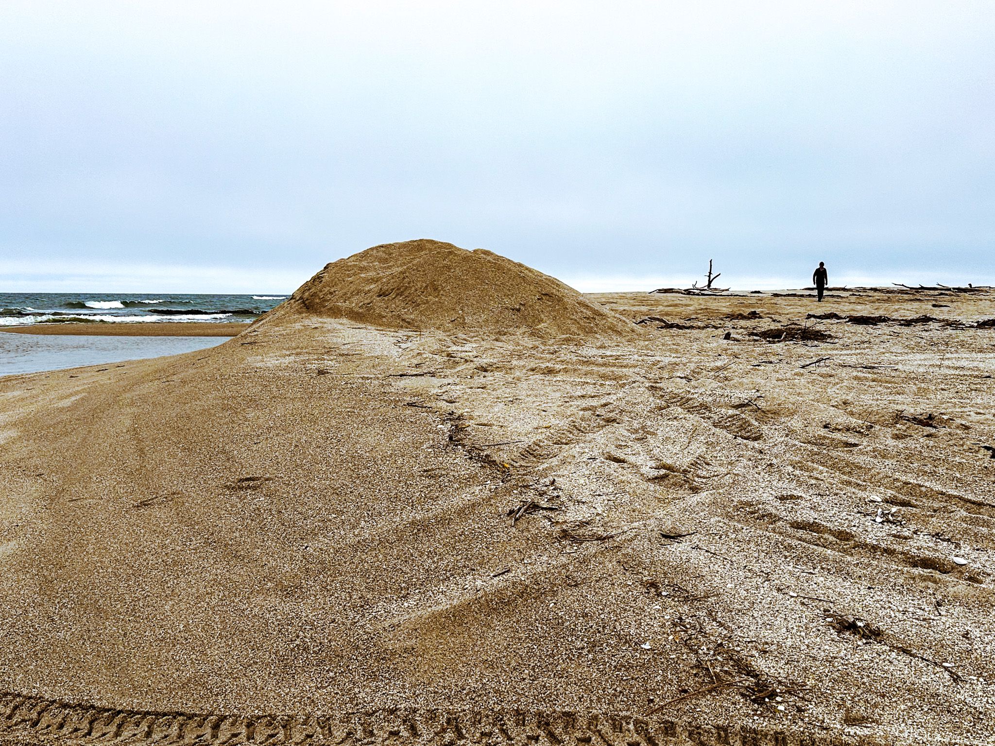
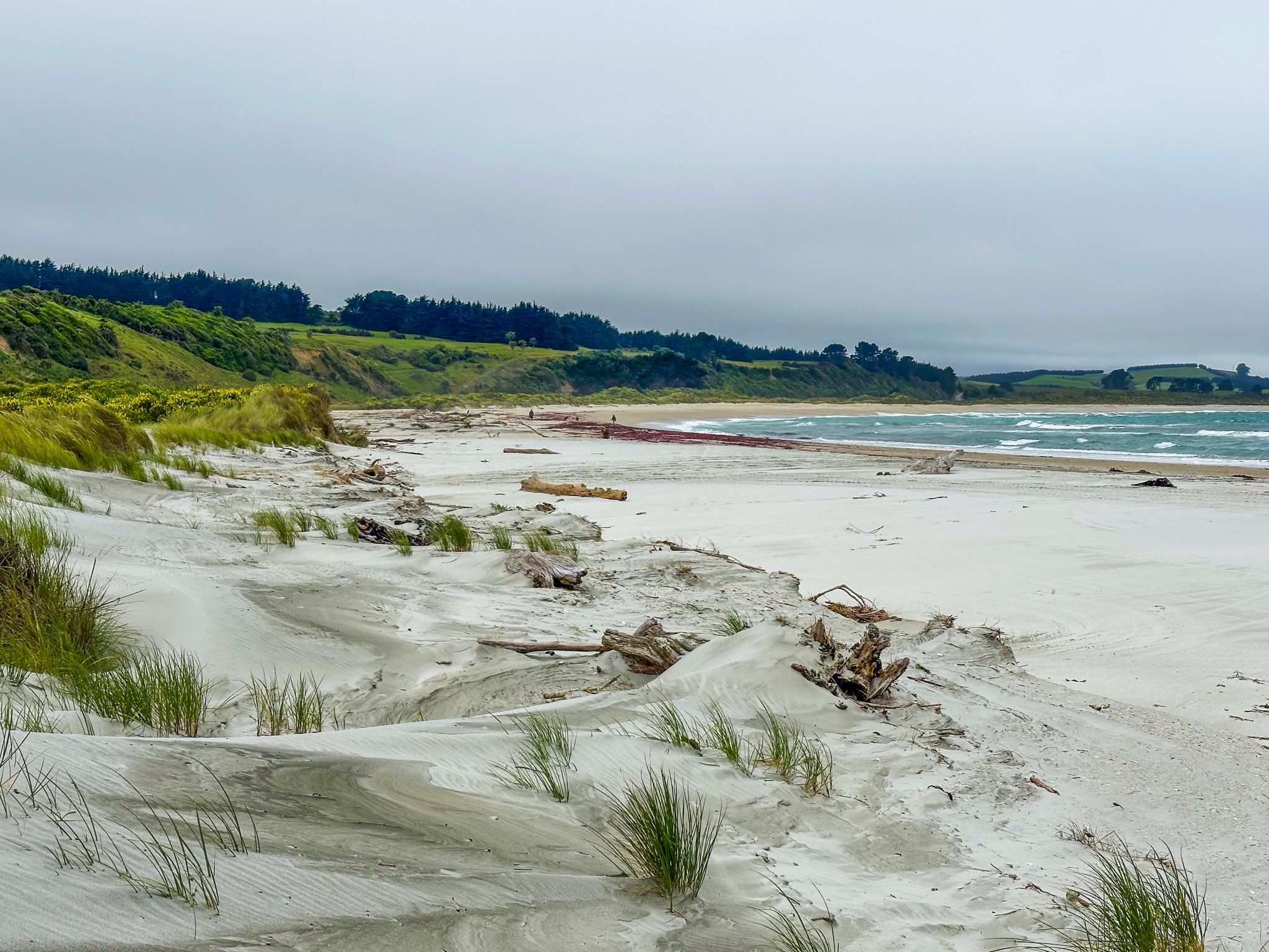
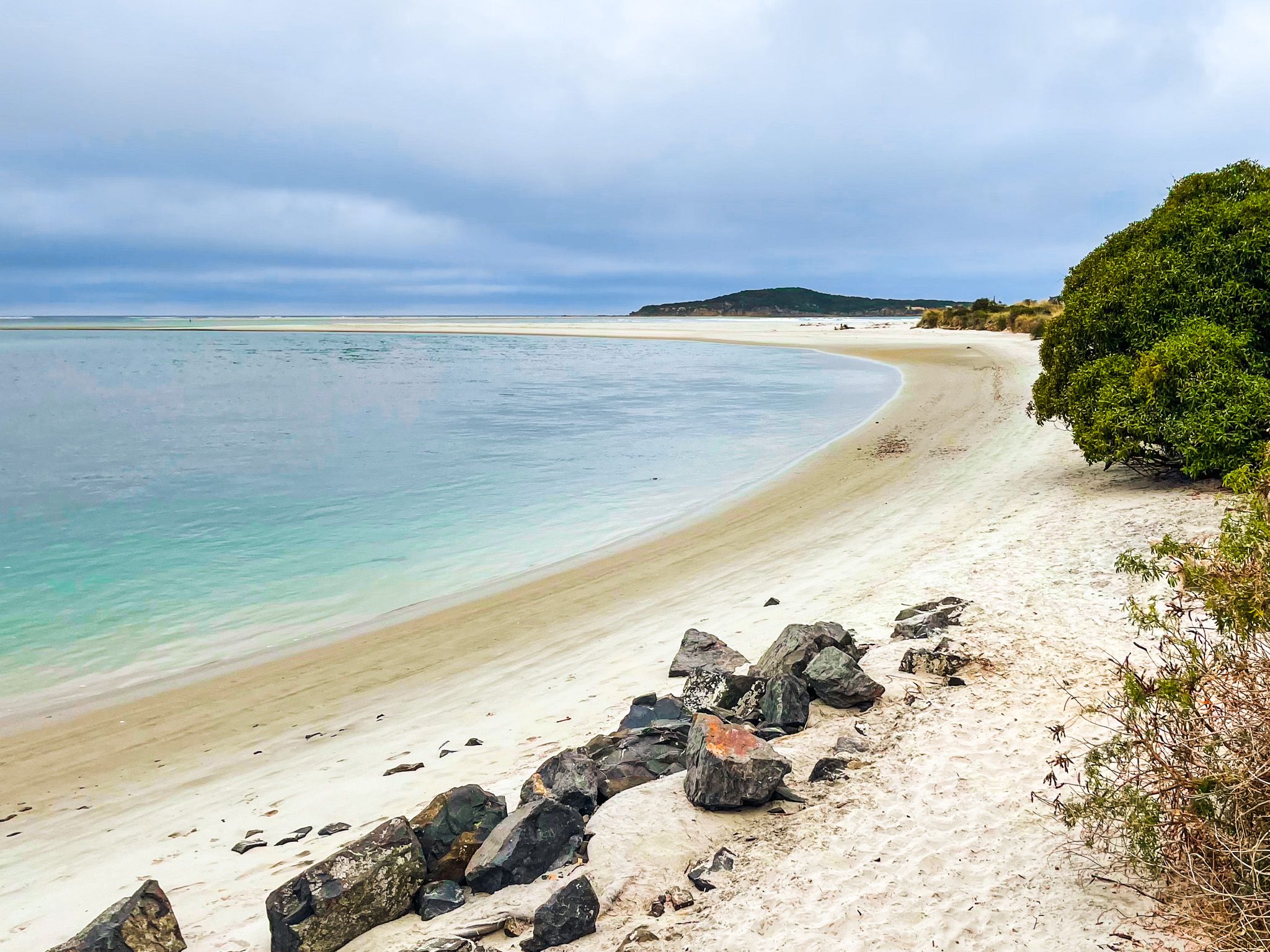
The Tokomairaro River reaches the sea after flowing southeast for about 50 km from the Lammerlaw Range. The estuary just inside the mouth is shallow and calm, and well suited to paddling and fishing, particularly for sea-run trout and whitebait in season. Spoonbills, oystercatchers, herons, and gulls work the tidal flats, and the wetlands a short distance upriver hold a notable fernbird population and occasional bittern. Seals and sea lions come ashore from time to time.
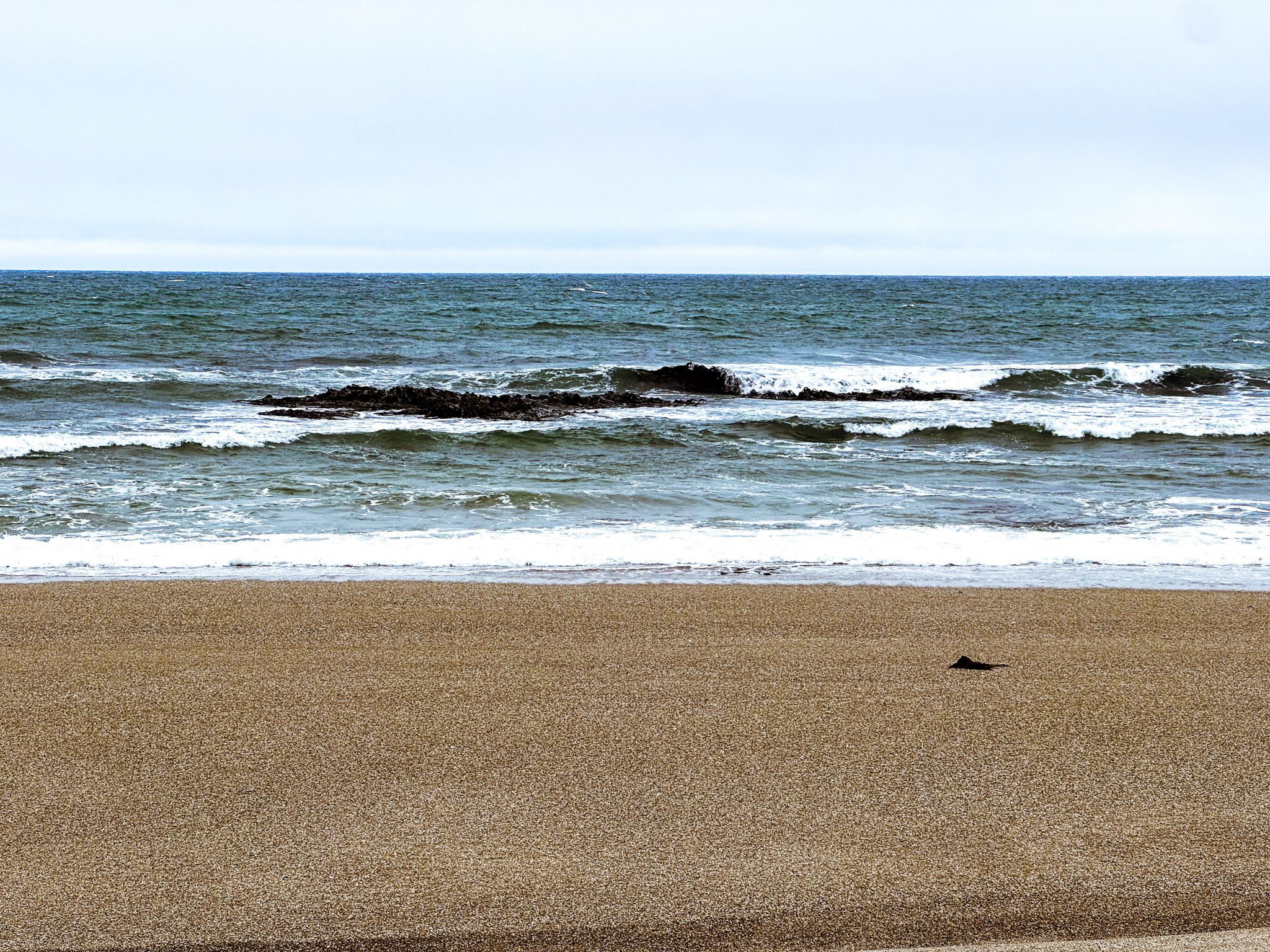
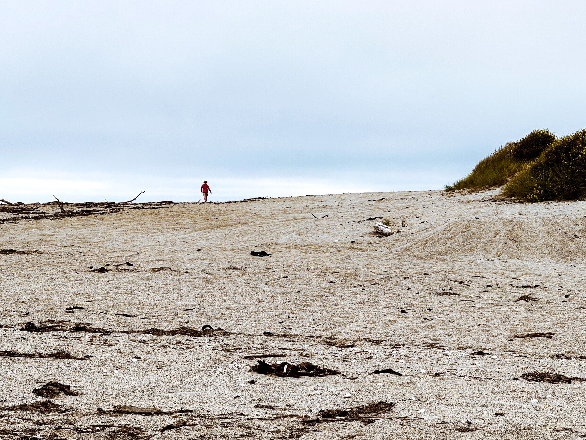
Outside the river mouth, a reef runs along the southern side, and the coast becomes increasingly exposed. Chrystalls Beach is on the north side of the river mouth, named for the sparkle of its sand. It also features Cook's Head Rock, a striking 24-metre basalt column with hexagonal columns. Measly Beach, 4 km long, lies to the south, with a much more sombre chapter of South Island history.
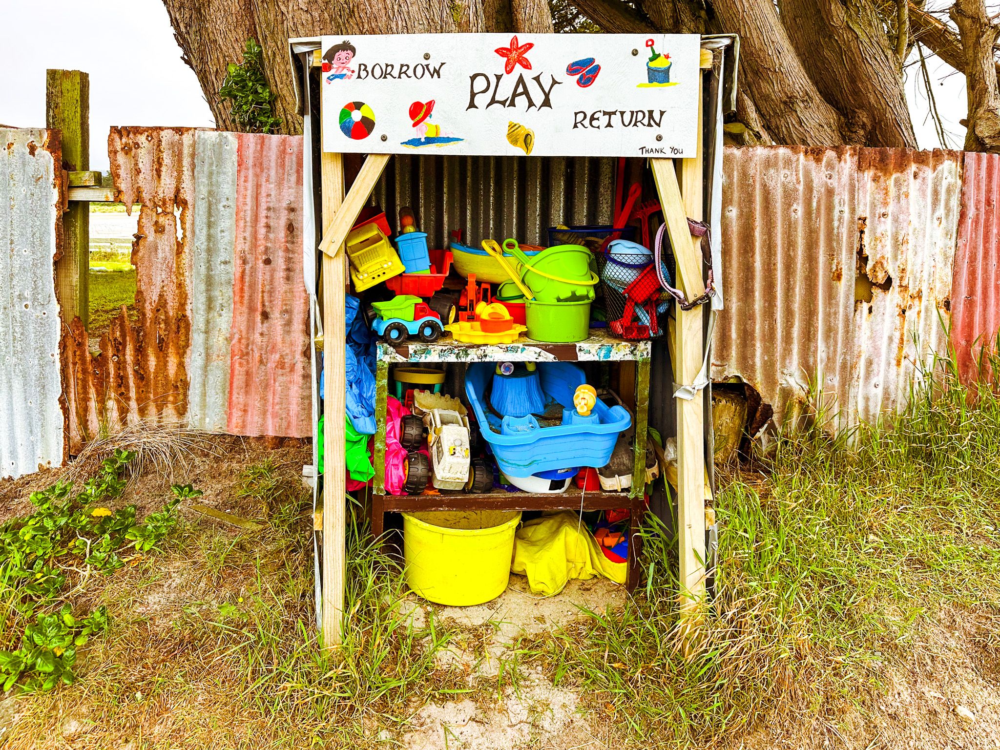
The Crib Community
Toko Mouth has the character of a place that has changed little in several decades. The settlement has about 80 cribs, mostly representative of a passing era in NZ beach settlements, with quiet, low-stress, community lifestyles to match. A few are permanently occupied, and the rest are Summer holiday homes. There is also a donation campsite at the settlement, with flushing toilets, a large grassed area, and some power sites.
The name Tokomairaro
Tokomairaro means “to propel with a pole up a winding river". Māori used poles to navigate the shallow Tokomairaro River and its wetlands rather than paddles. The Tokomairaro district was part of the rohe of Ngāi Tahu, and the river mouth and estuary were important for food gathering, fishing and access to coastal resources. The settlement name Toko Mouth is derived directly from the river name.
How to Get There
From Milton on State Highway 1, head to Toko Mouth Road (gravel) to Toko Mouth. The drive is 20 km and takes 25 minutes. From Dunedin, allow about an hour's drive. You can also access Toko Mouth from Kaitangata, near the Clutha River mouth, along Coast Road.
Nearby places to visit include Measly Beach, a few kilometres south and the Catlins via Balclutha. Taieri Mouth is to the north.