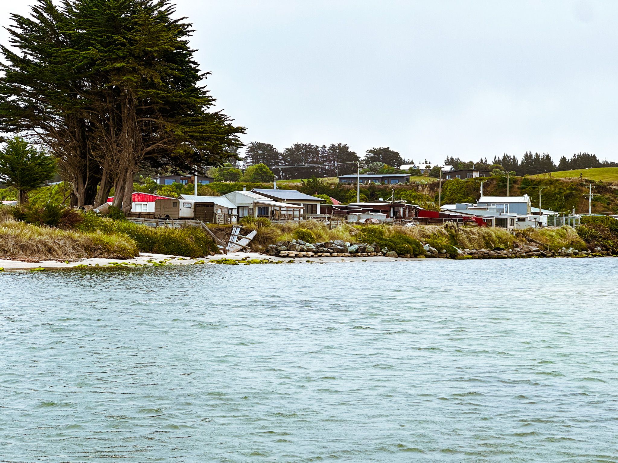
A Quiet Beach with a Haunted Past
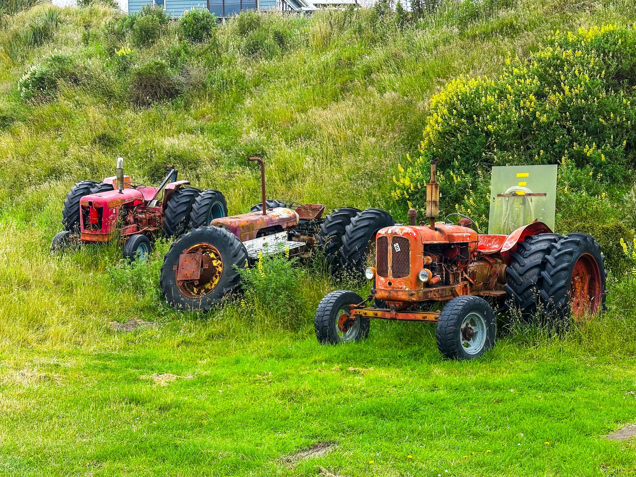
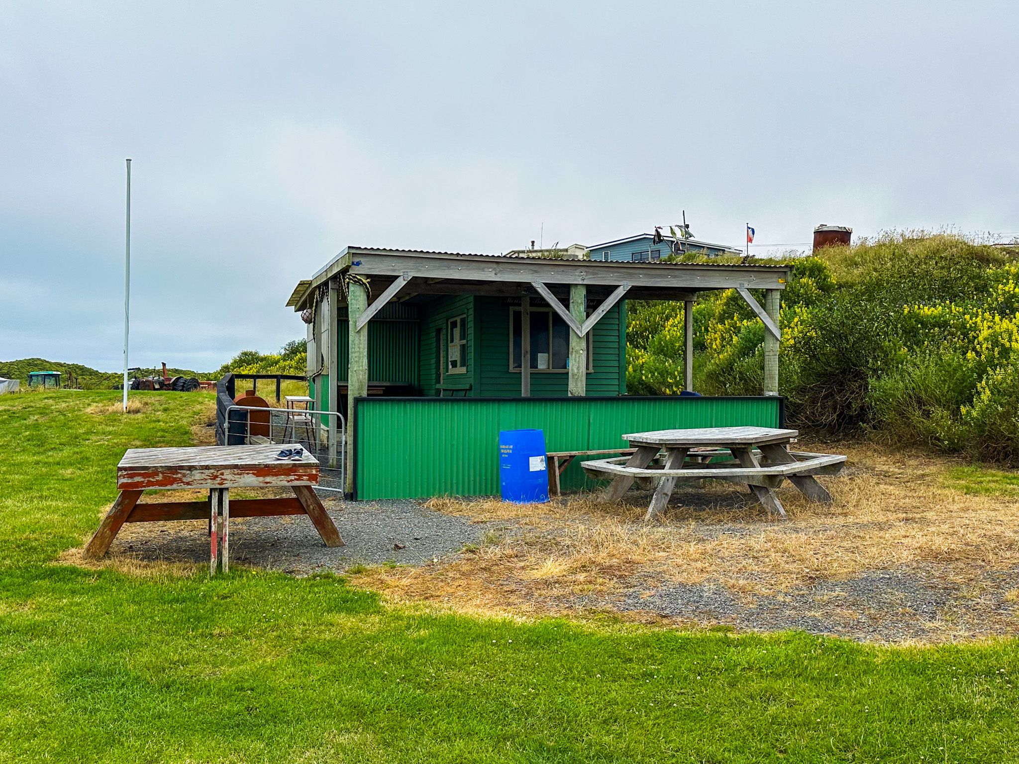
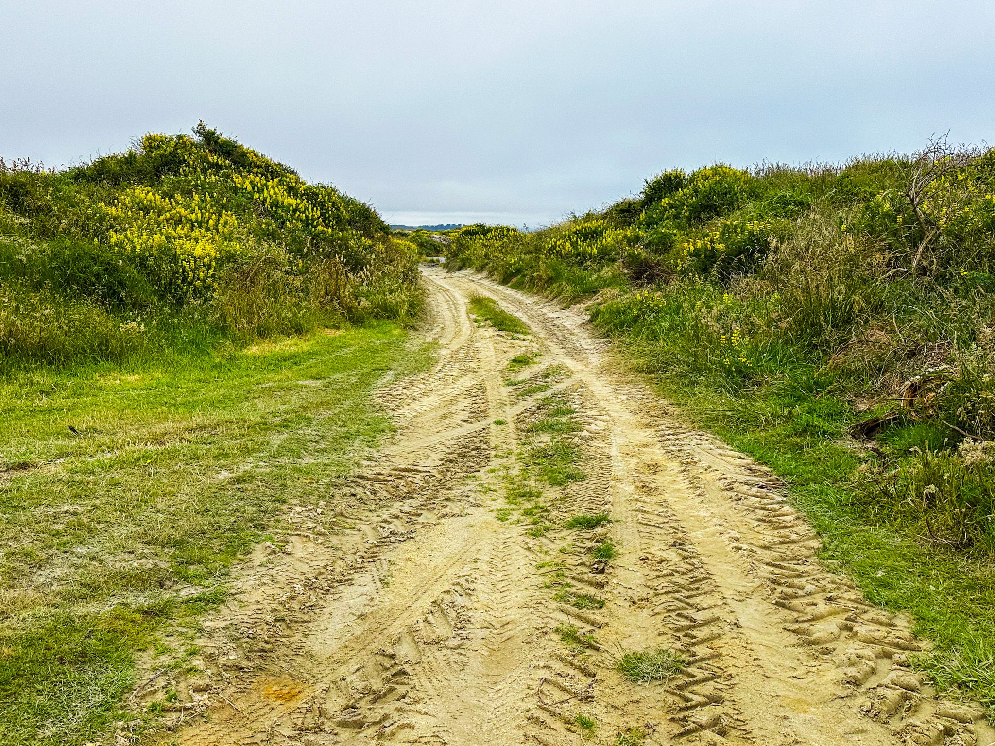
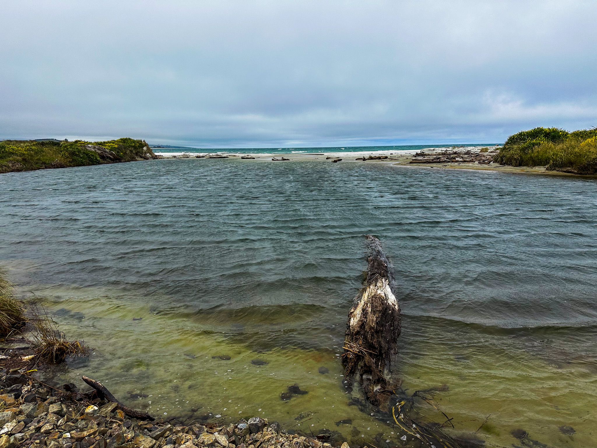
Measely Beach is a remote stretch of coast south of Toko Mouth on the South Otago coastline, about 55 km south of Dunedin. To visit it today is to find a sedate and largely deserted place: a short walk through a small reserve where a quirky collection of old tractors sits in the grass near the car park, and then out onto a wide, wind-scoured Pacific Ocean beach at the outlet of the Wangaloa Creek. There are no facilities, no other visitors on most days, and the sea is too wild for swimming. But the name suggests something happened here, and what it was one of the more significant and sombre episodes along the entire South Island coast.
The Taua that Caught Measles
In the summer of 1834, Ngāi Tahu and Kāti Māmoe warriors assembled at Ruapuke Island in Foveaux Strait, gathering a taua (war party) of several hundred in nine waka. Their intention was to push north along the coast and drive Te Rauparaha and his Ngāti Toa allies out of the upper South Island.
The northerners had brought the Musket Wars to the South Island in the late 1820s and caused devastation as far south as Banks Peninsula before Ngāi Tahu were able to acquire enough of their own guns. The iwi had some success with counter expeditions, and this was to be a third taua. Unfortunately, a ship from Sydney arrived at Foveaux Strait before the taua departed with some Māori passengers, including Tipo, a son of the chief of Pukekura pā at Ōtākou. Along with the passengers came measles, a disease for which no one in the taua had any immunity.
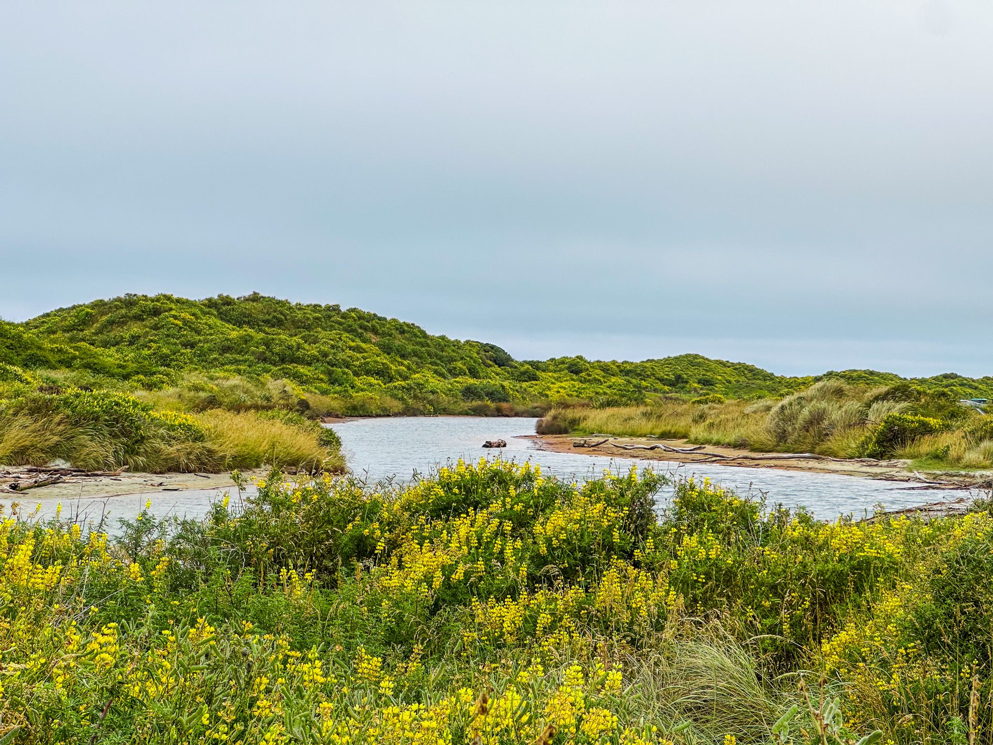
The war party set off in their nine waka, but the illness overtook them quickly, and they were forced to come ashore at Measly Beach. Behind the beach, the Wangaloa Creek widens into a sheltered lagoon, where the taua camped to wait out the disease. About 300 people are said to have died there, including Te Whakataupuka, the principal chief of Foveaux Strait and leader of the expedition. Early European settlers reported that bones were still visible on the shore as late as 1850.
The taua's disaster brought an end to expeditions north. The final chapter in the South Island part of the Musket Wars came two years later in 1836, when the Ngāti Tama chief Te Pūoho led a taua of 100 Ngāti Toa allies on an epic 950 km march down the West Coast, over the Haast Pass, and through Central Otago, killing and cannibalising two children near Wānaka as they went. The aim was to surprise Ngāi Tahu from the south, but this taua was ambushed by Ngāi Tahu under the chief Tūhawaiki at Tuturau near the Mataura River. Te Pūoho was killed, and the rest of this taua were captured or killed. It was the last battle of the Musket Wars in the South Island.
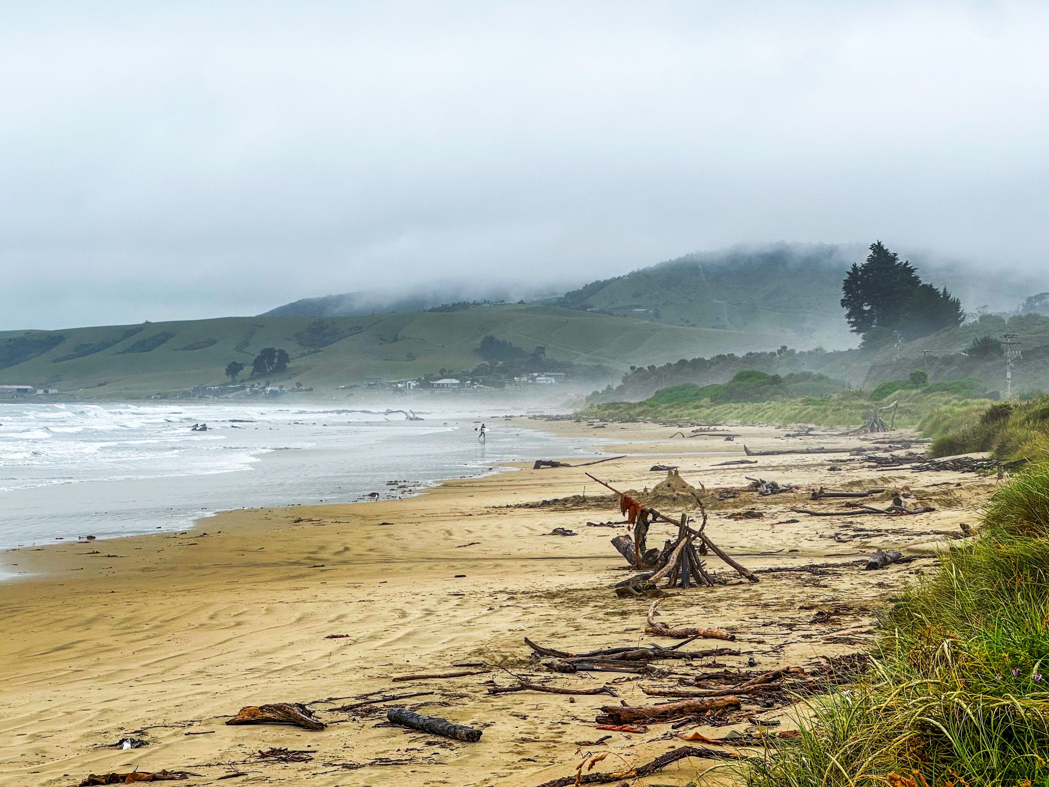
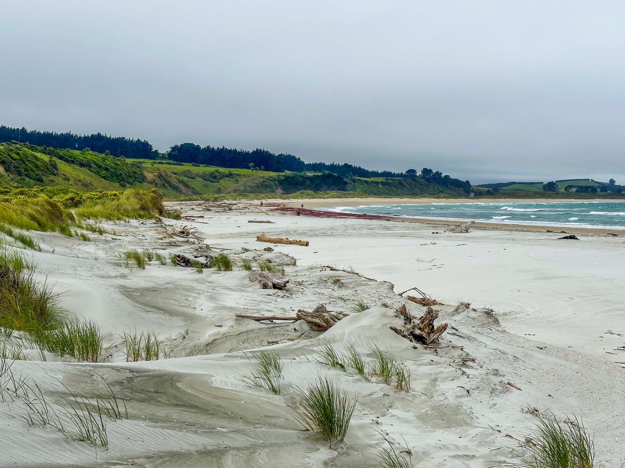
The Beach Today
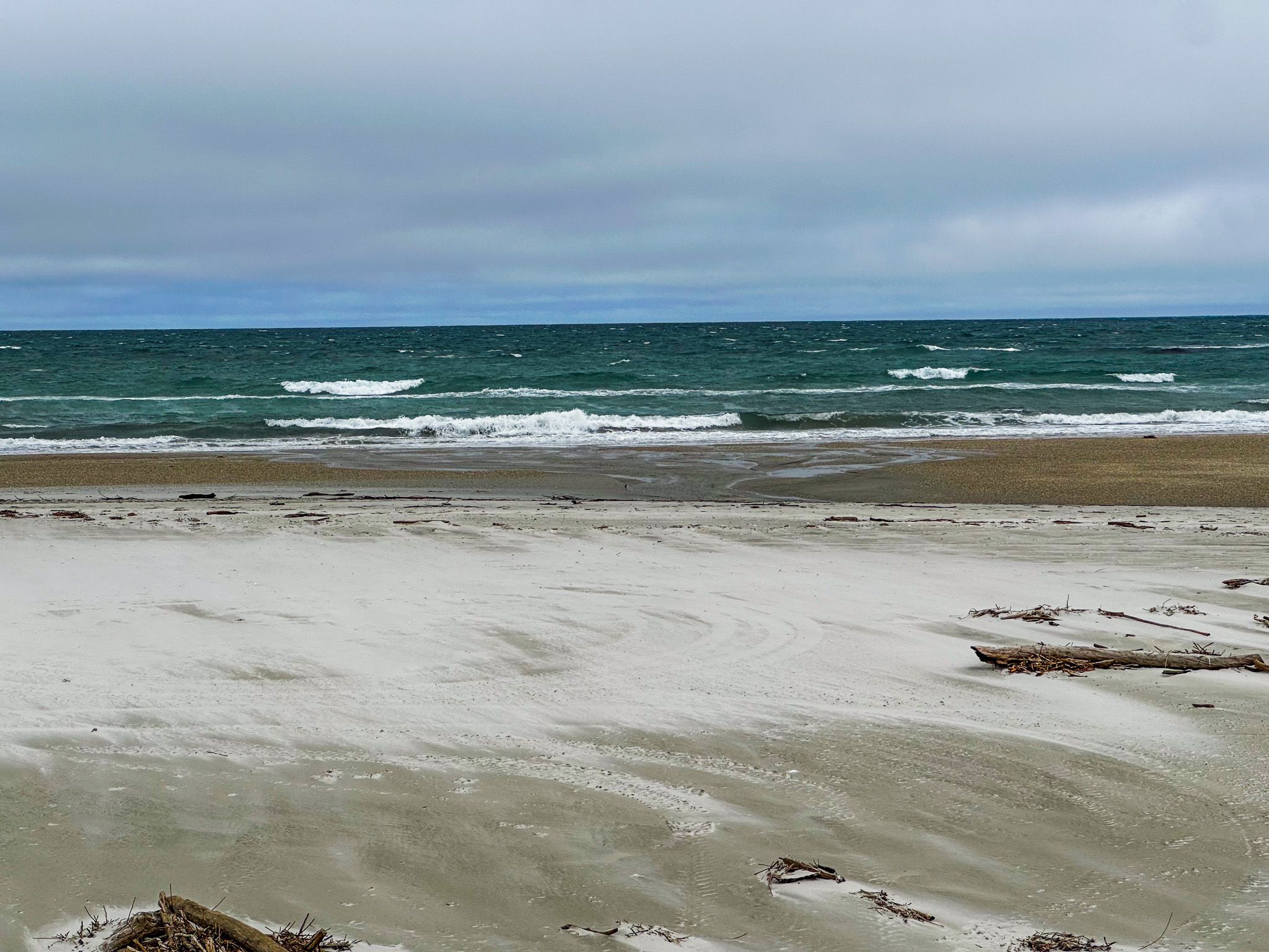
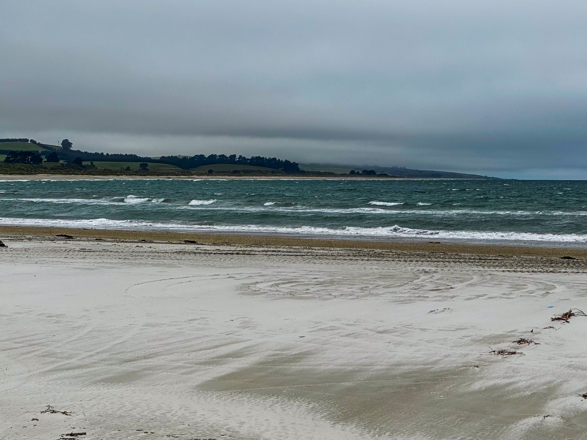
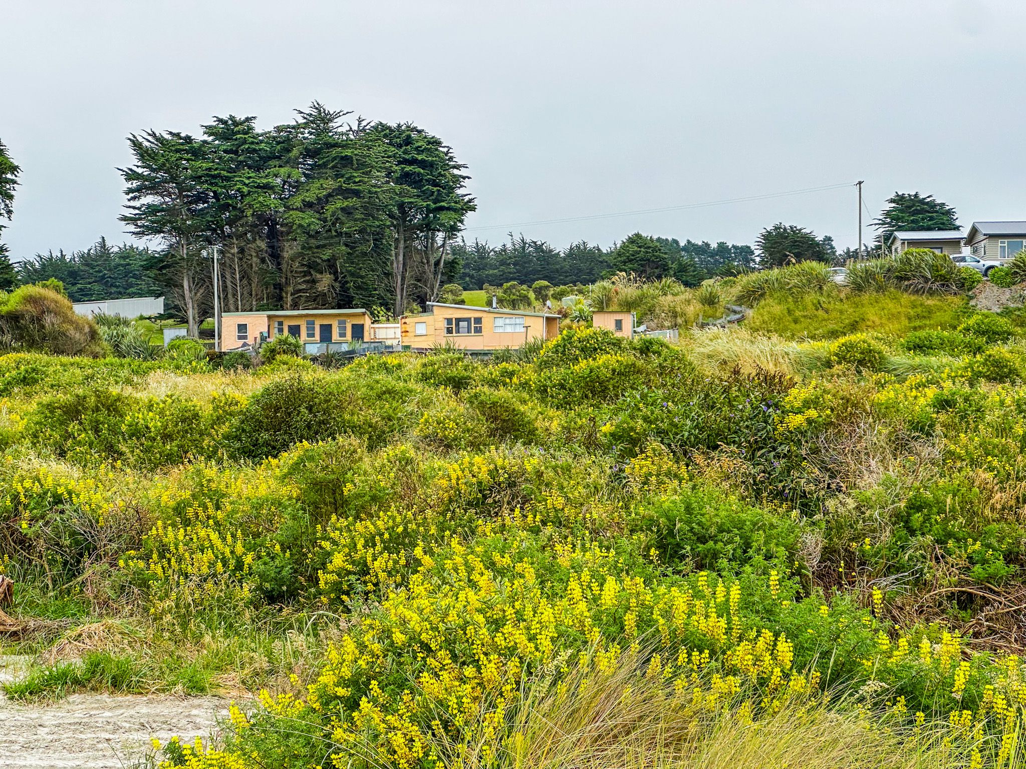
Access to Measely Beach is a short walk from the car park and reserve, through a farm gate and across a field. The beach is wide and open, over 4 km long and almost reaches Toko Mouth. It faces southeast, with the creek outlet creating a natural feature at the southern end. Old orange cliffs along the coast to the south hold fossils in their rock. The grassy reserve by the car park has the weathered tractors and farm machinery that give the place its slightly surreal character.
Oystercatchers and gulls work the shore, and the sea here carries the full force of the Southern Ocean. A stunning contrast to the story behind the name.

How to Get There
From Milton on State Highway 1, head to Toko Mouth Road (gravel) to Toko Mouth, then follow Coast Road, also gravel, south to the tiny hamlet of Waikaro, where you will find the short access road for the reserve at the south end of Measly Beach. The drive is 22 km and takes 27 minutes. From Dunedin, allow about an hour's drive. You can also access the beach from Kaitangata to the south and near the Clutha River mouth, along Coast Road.
Nearby places to visit include Toko Mouth, a few kilometres north, and Taieri Mouth. To the south is the Catlins via Balclutha.